I woke up this morning with a hankering for some bagels, so I went downtown to Johnny’s for breakfast — I just got back. Anne’s out of town visiting Emmi, and I’ve been living the bachelor life again…
Yesterday I rode with Doug & Lori at Nockamixon, which was bone dry but a lot of fun. They were on the tandem, and we got in a really pleasant ride, brisk but not too brisk, if you know what I mean.
Friday night I walked through Musikfest and over to Southside, and got myself a burger and a beer at F&A Grog House. Like most non-Musikfest places right now, it was a bit quiet. (Anne and I got dinner at Brick last weekend, just yards from the festivities, and it was dead — the owner/bartender said it’s like that every year, and they’ve taken to closing for vacation for at least part of the Musikfest week. Go figure, it was ten times more pleasant in there than the scene just outside.)
Thursday I got up at 2:00 AM and drove Anne & Lorraine to the airport, so when I came home I went back to bed, and slept in a bit. I got in some yard work, housework, yadda yadda…
Today is probably more yard work and house work, and I’ll probably get in a shopping run. I just finished the 8th (of 9) in the Expanse series, and I think I’ll go get the final one while I’m out.
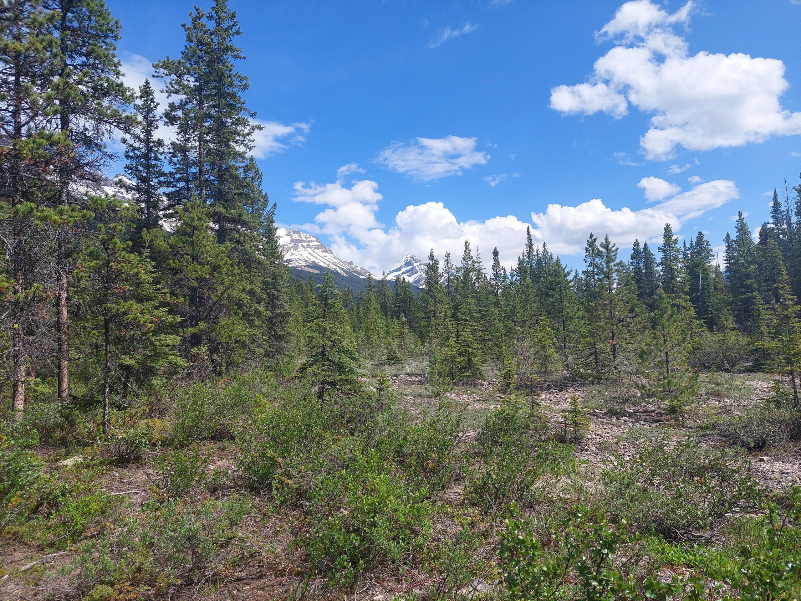
This is the eleventh in a series of posts about our bicycling trip from Jasper to Canmore, via the Icefields and Bow Valley Parkways, through Jasper and Banff National Parks in Alberta, Canada. The full series can be found here.
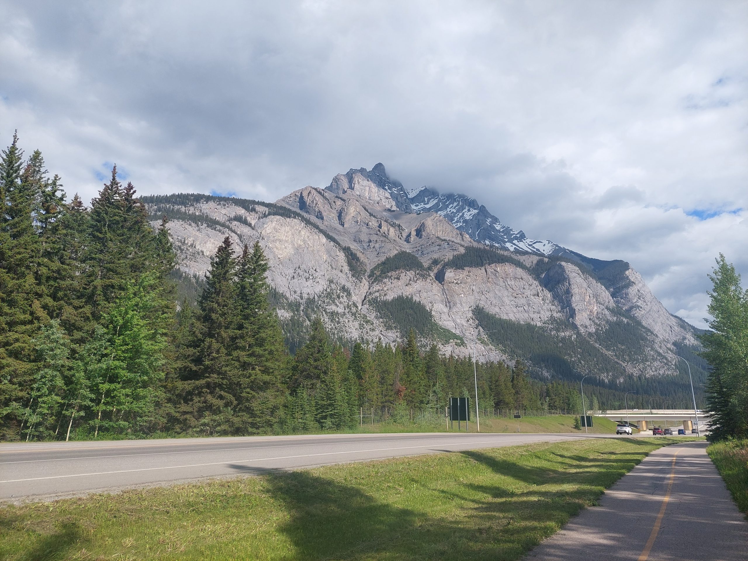
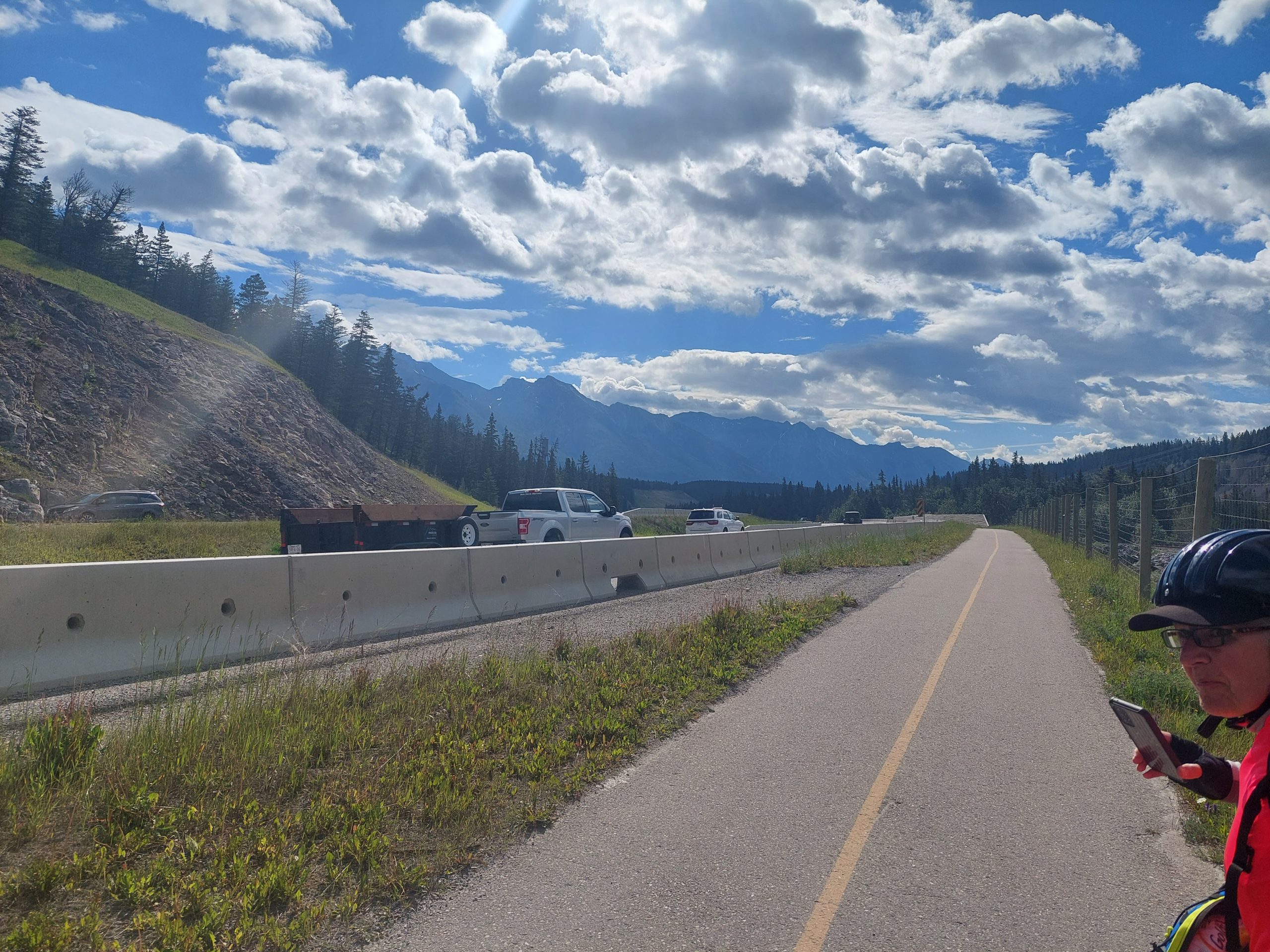
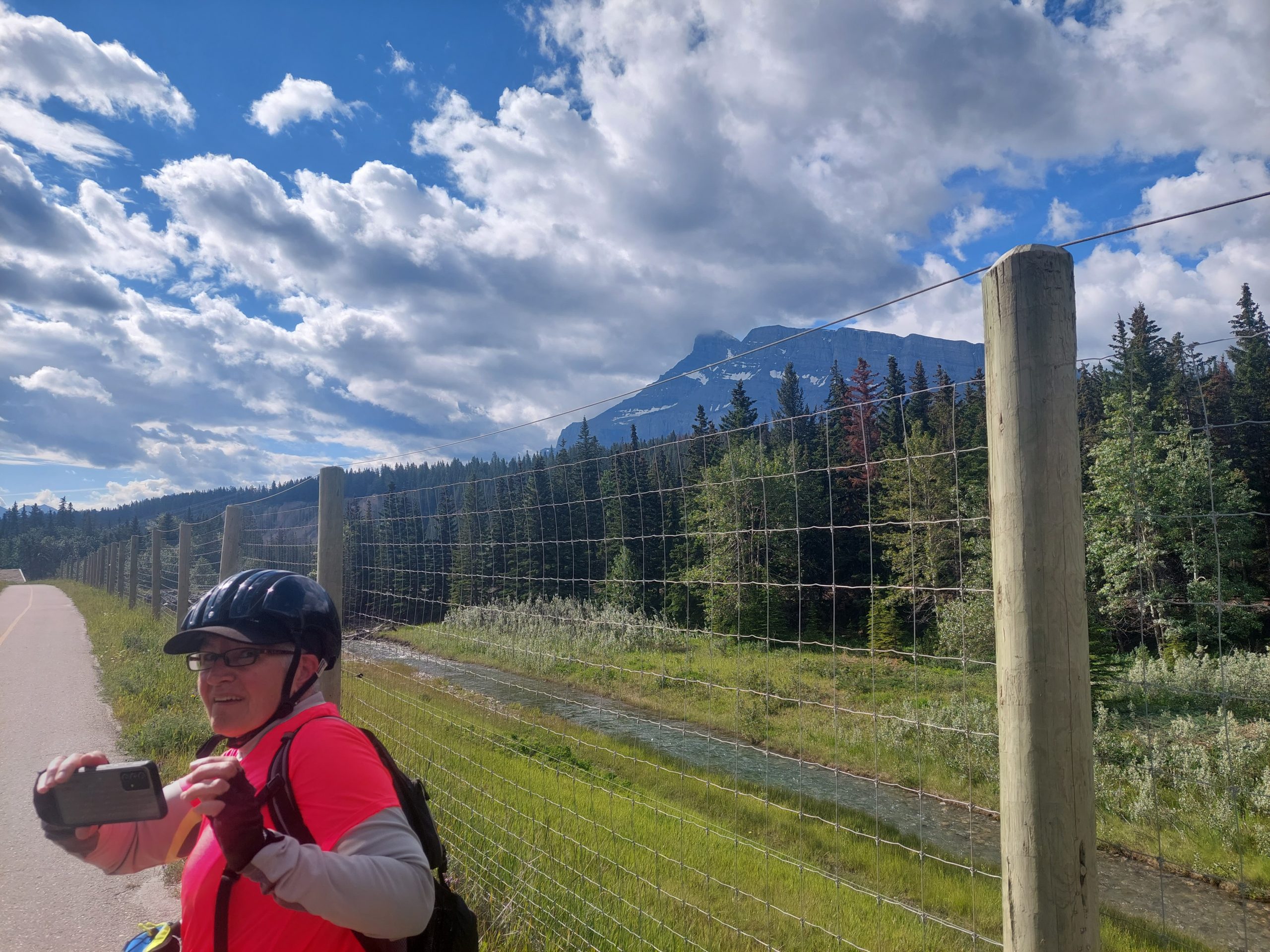
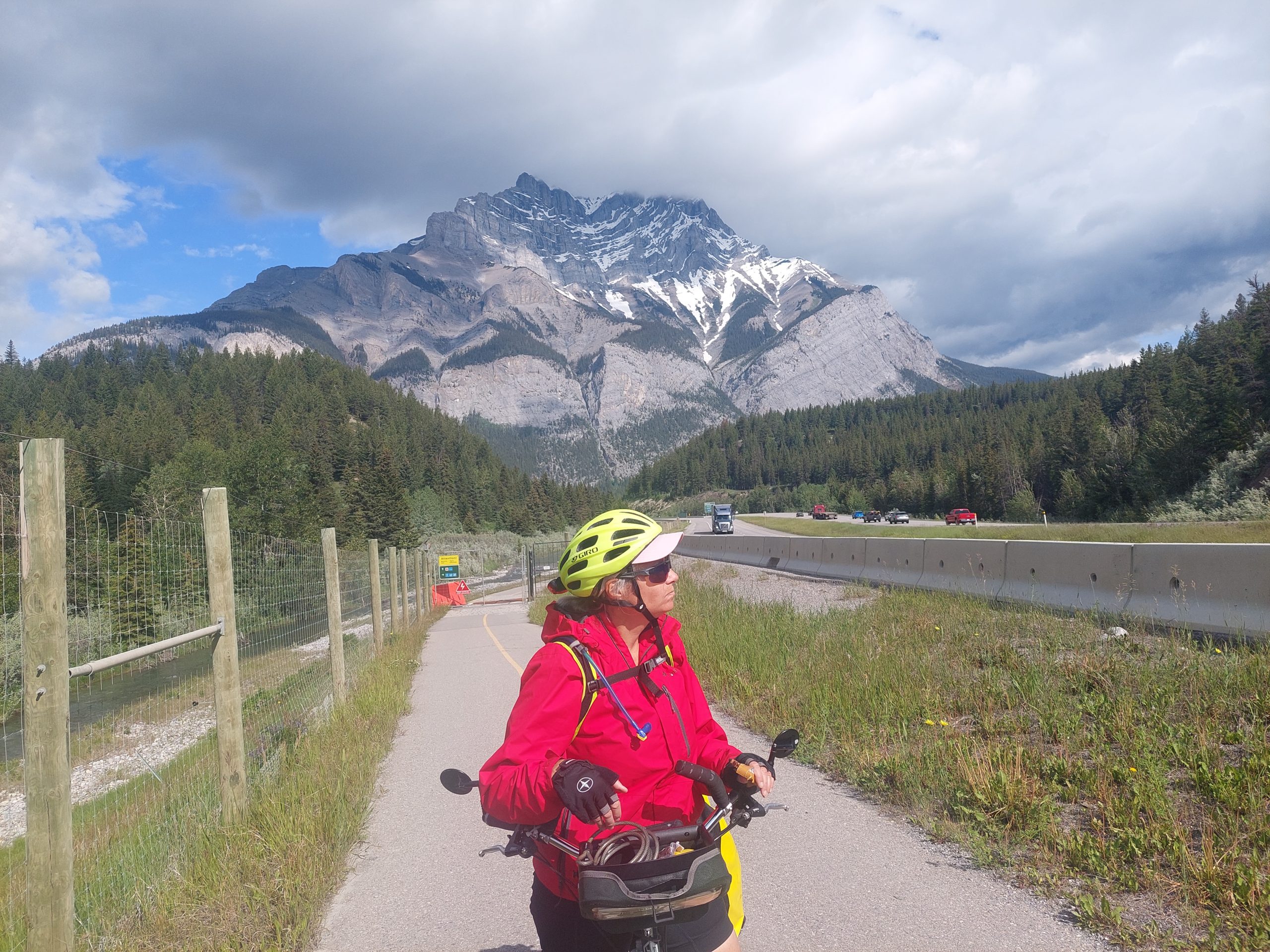
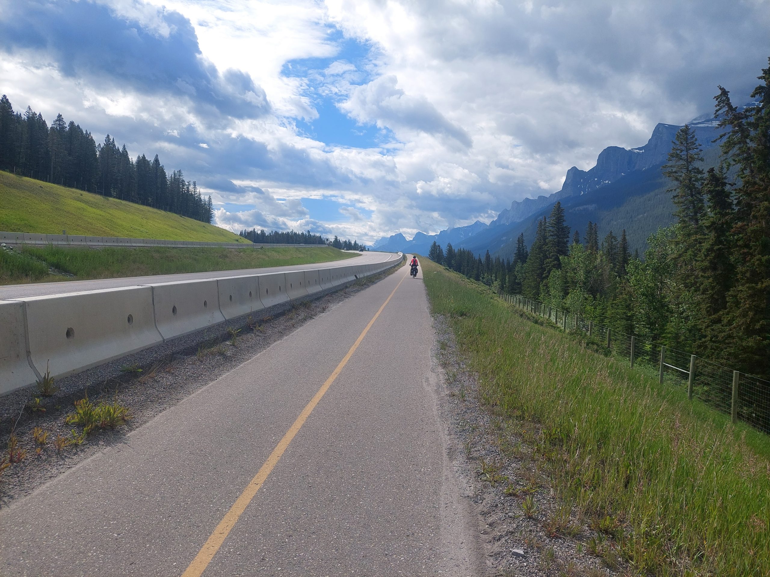
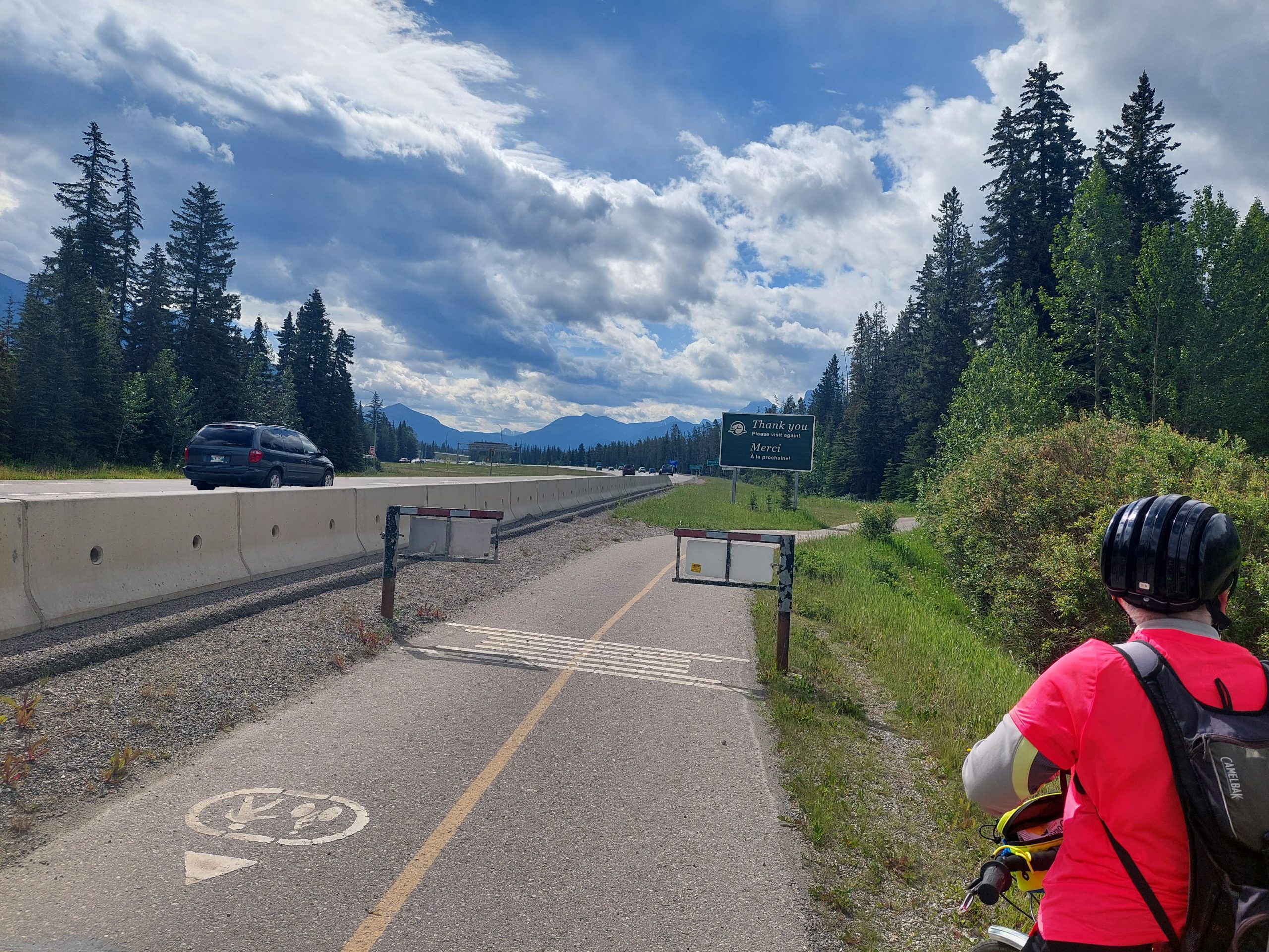
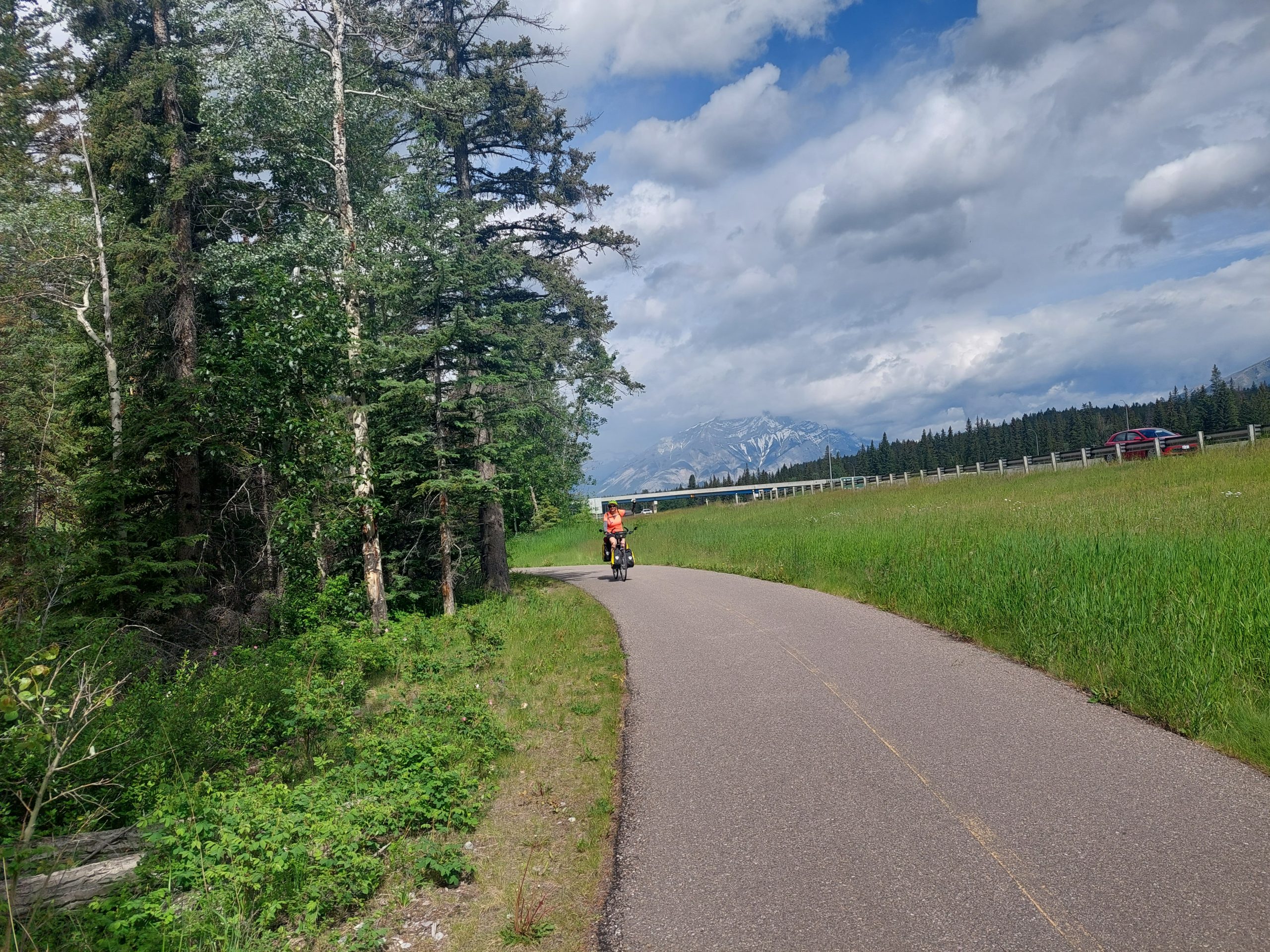
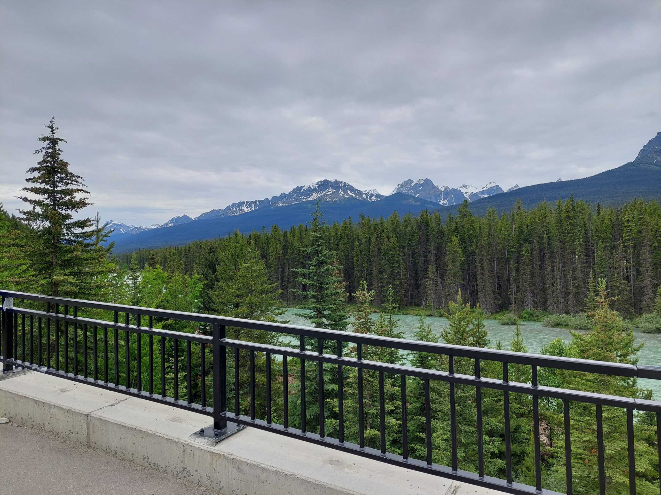
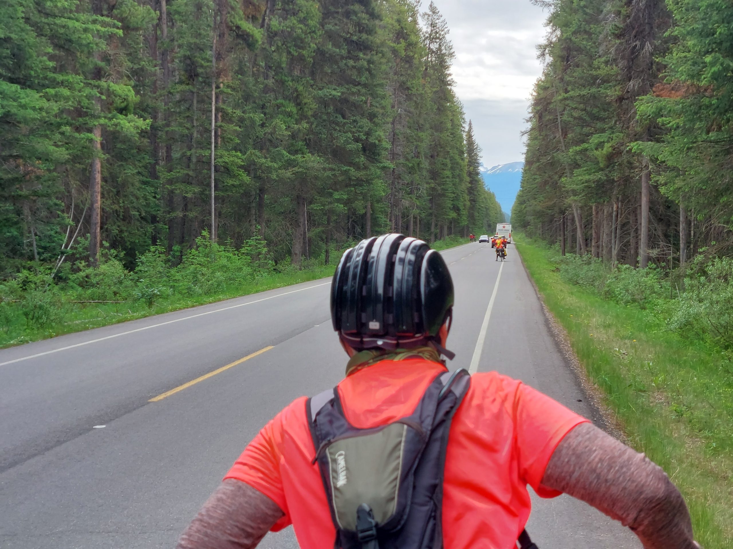
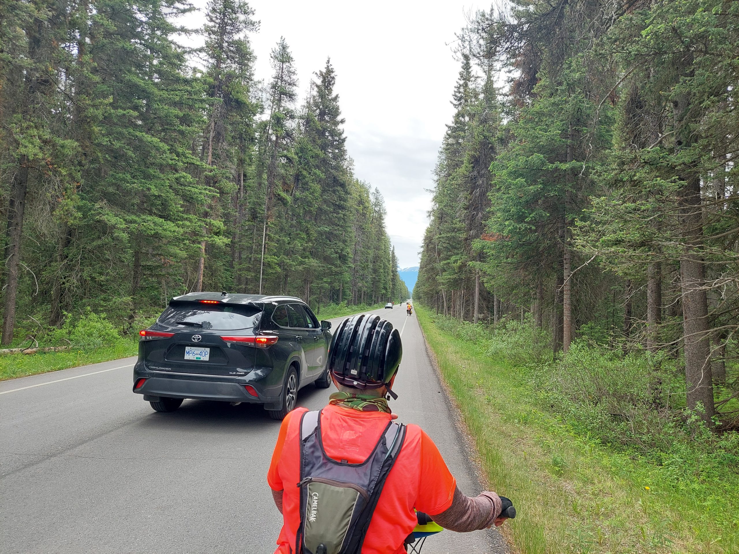
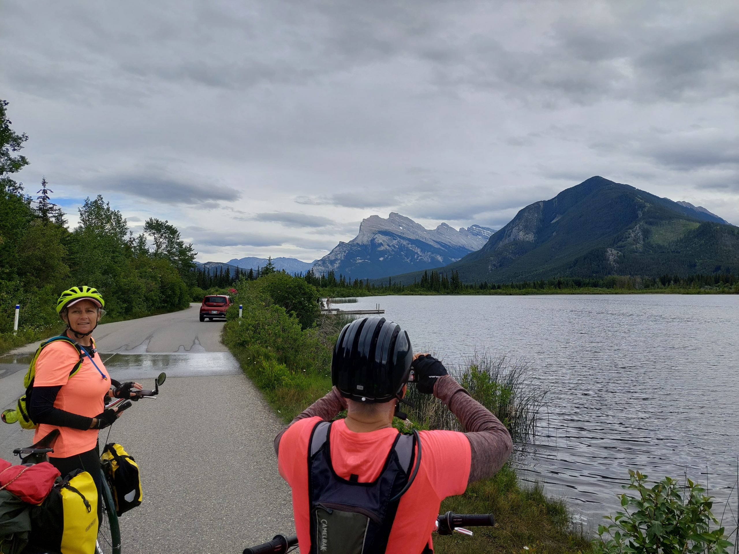
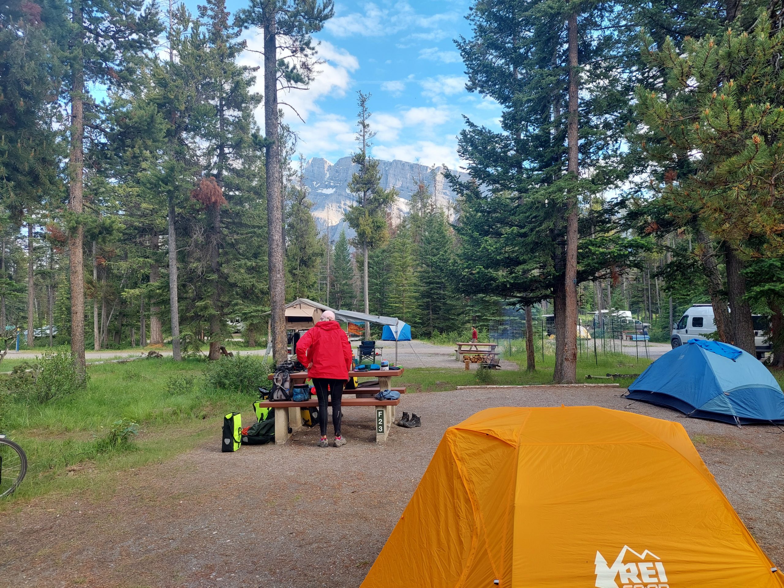
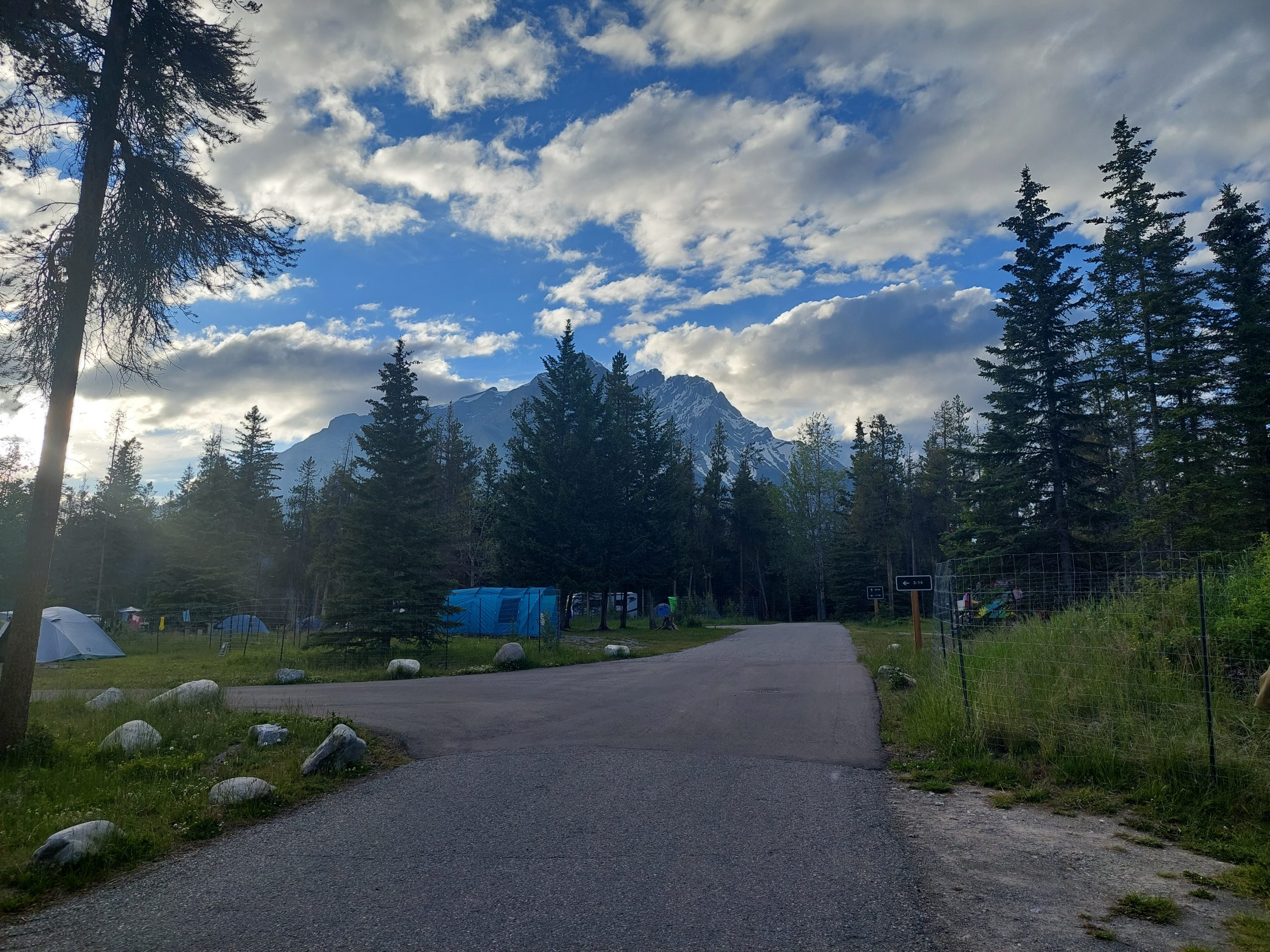
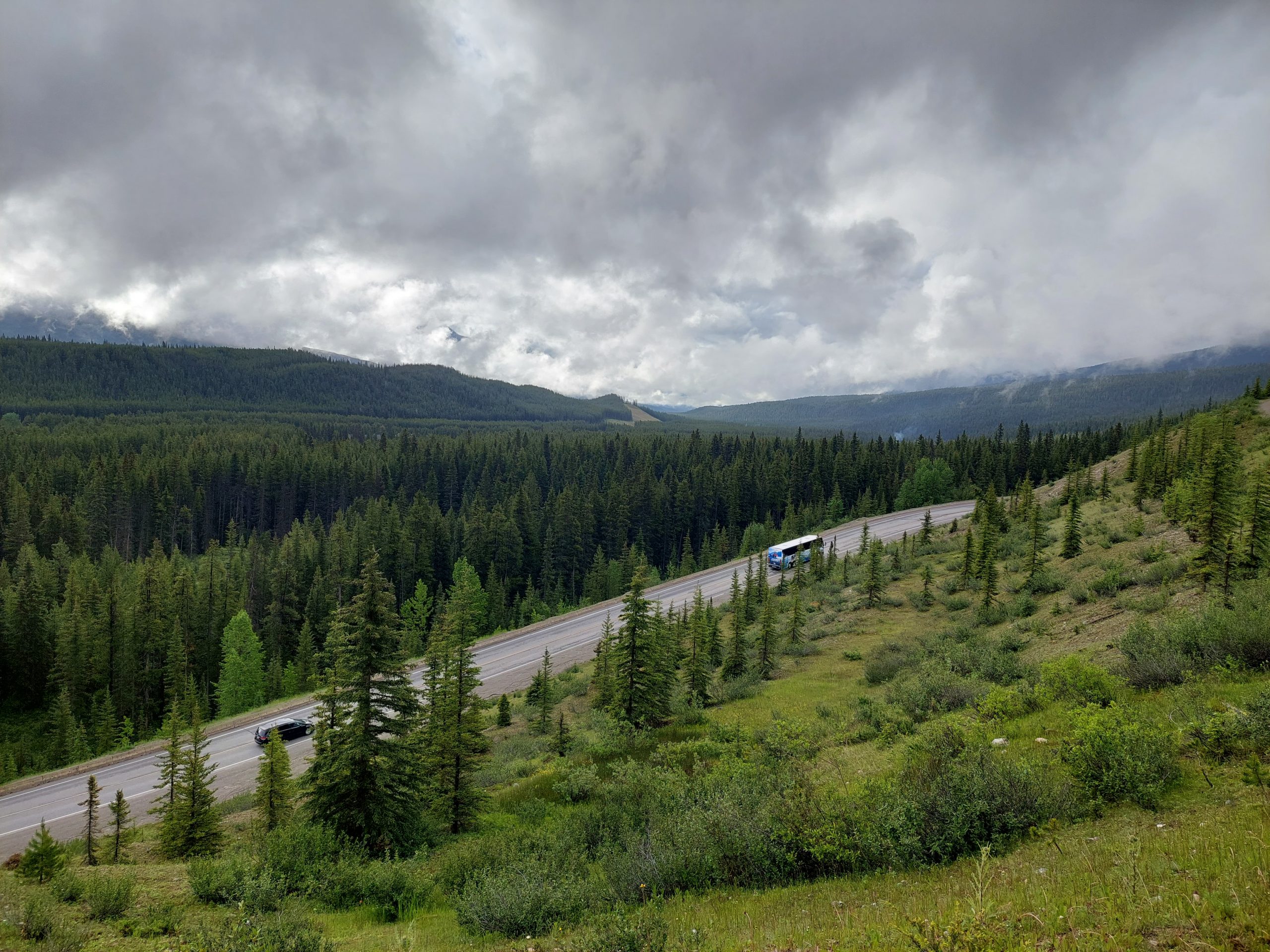
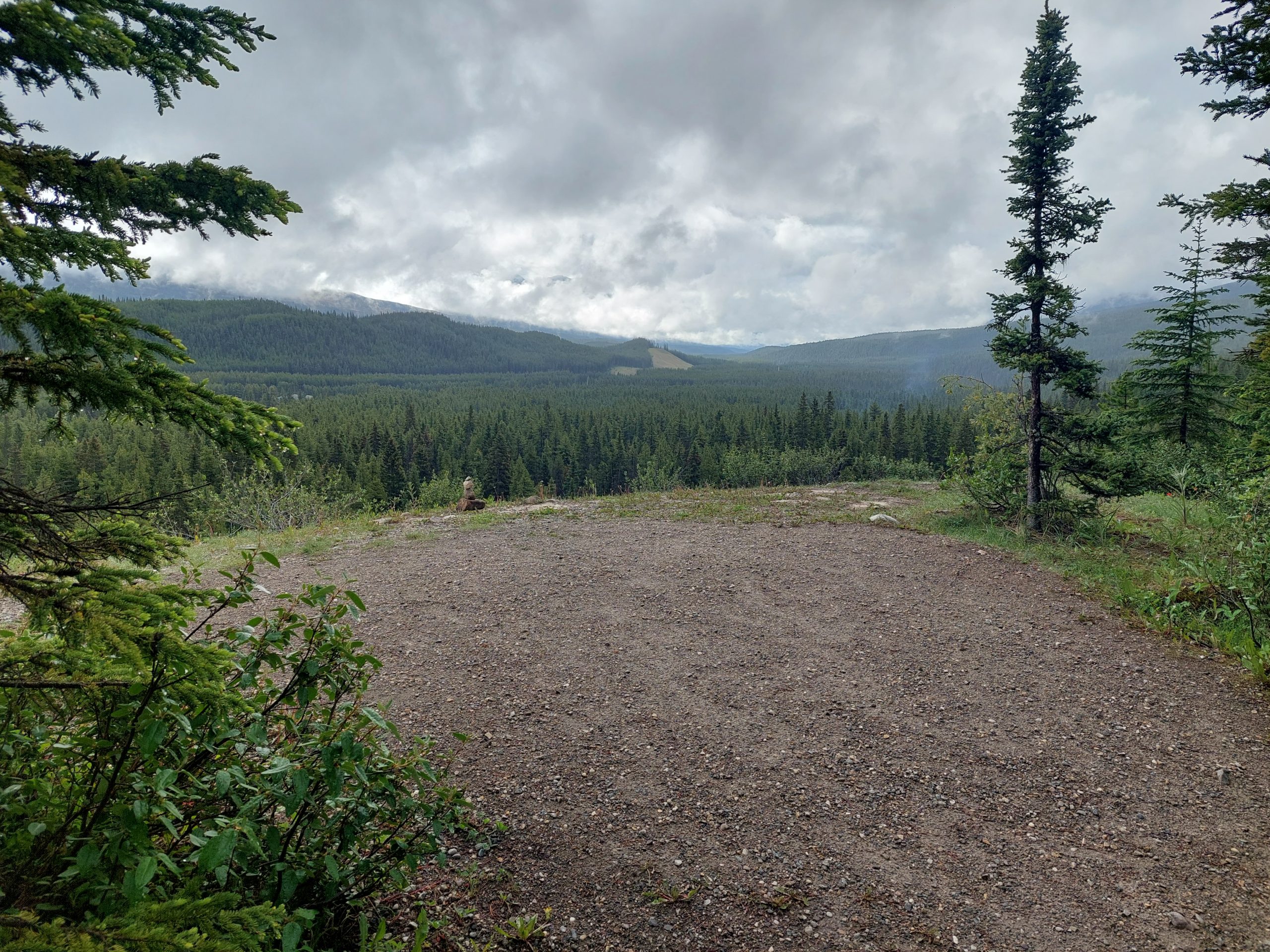
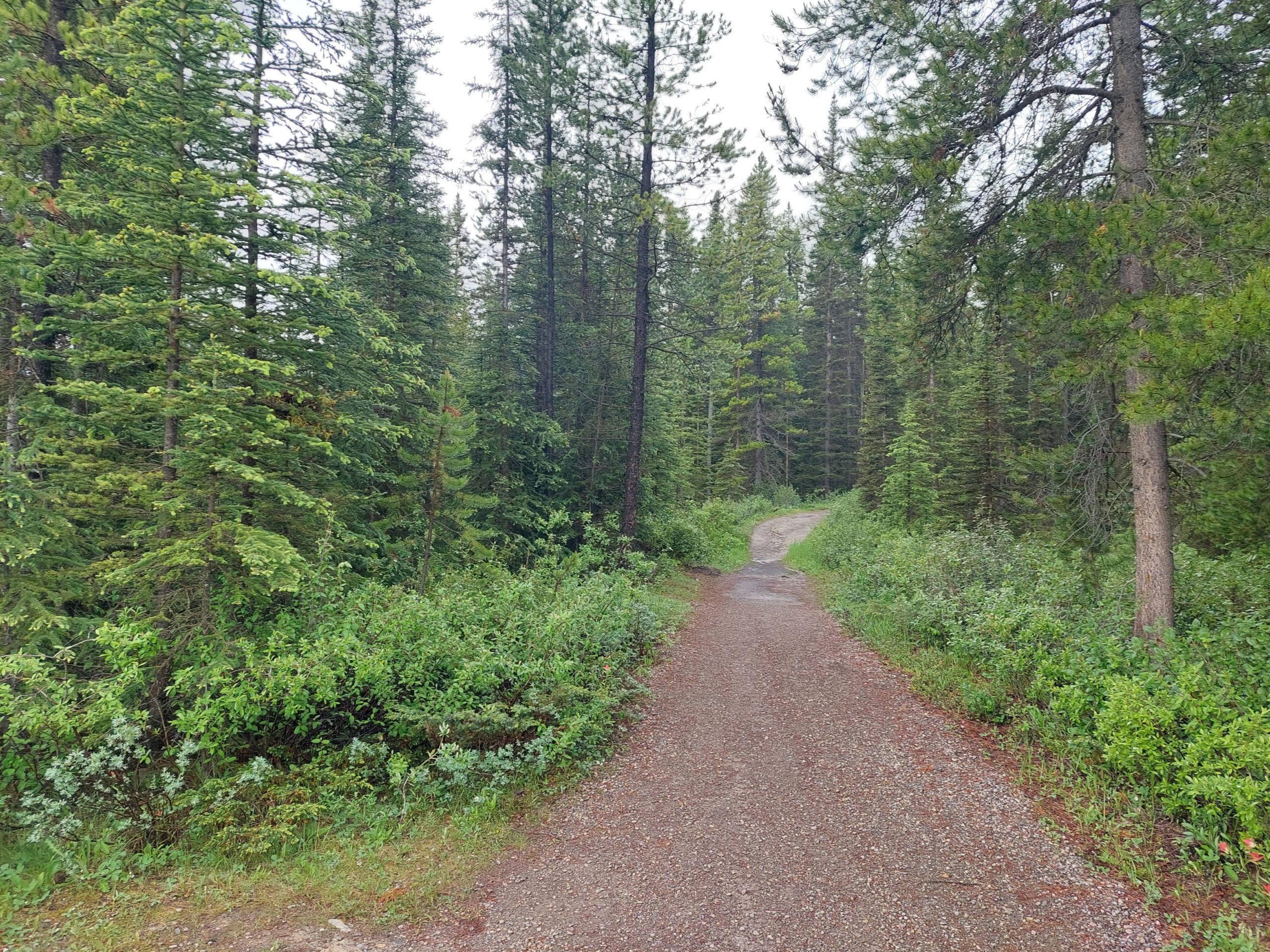
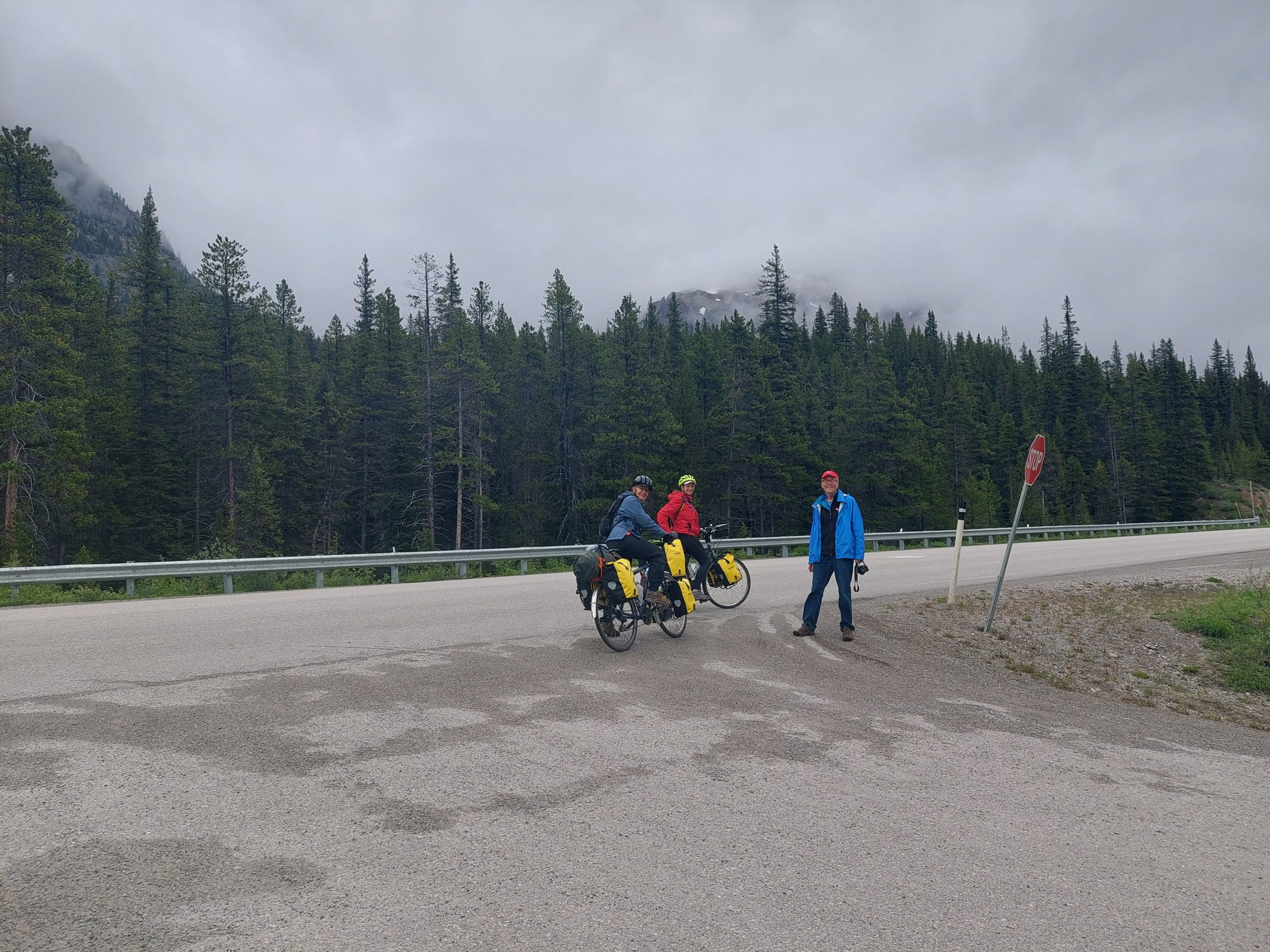
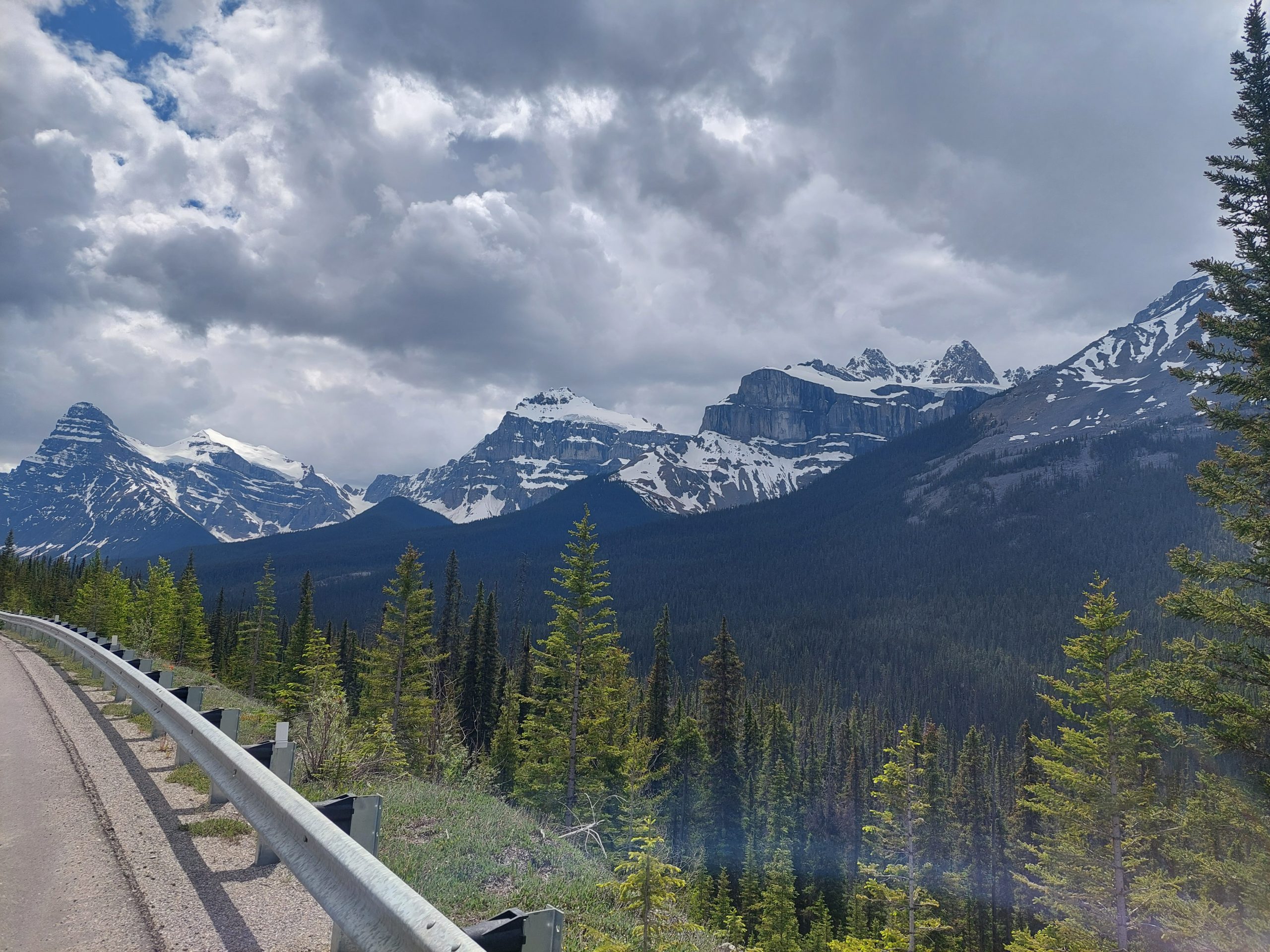
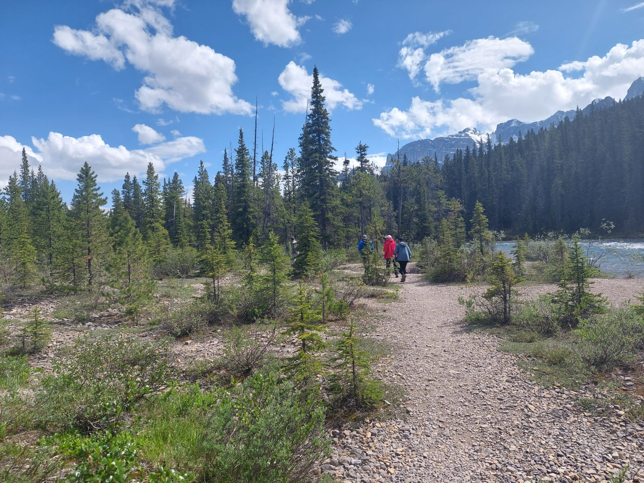
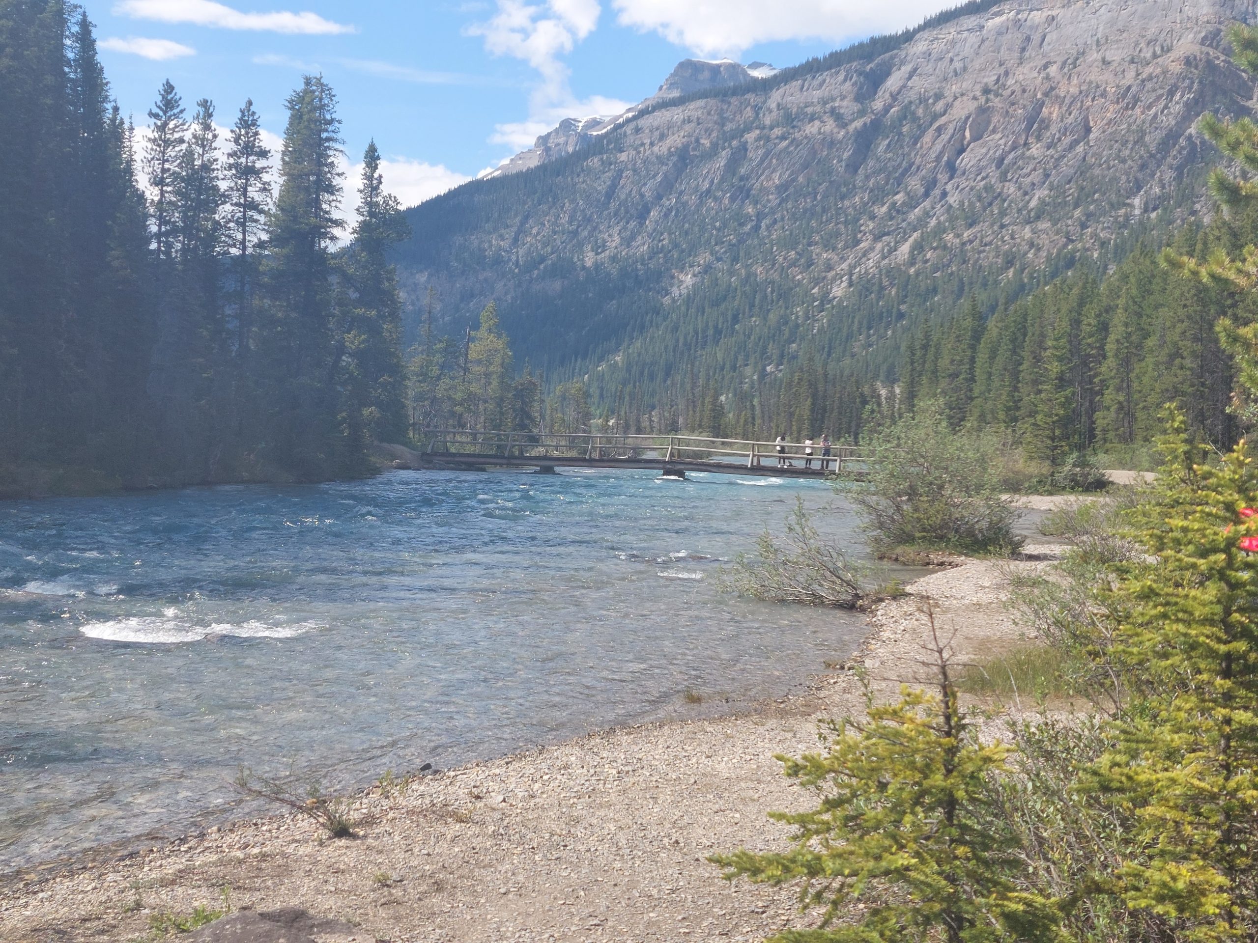
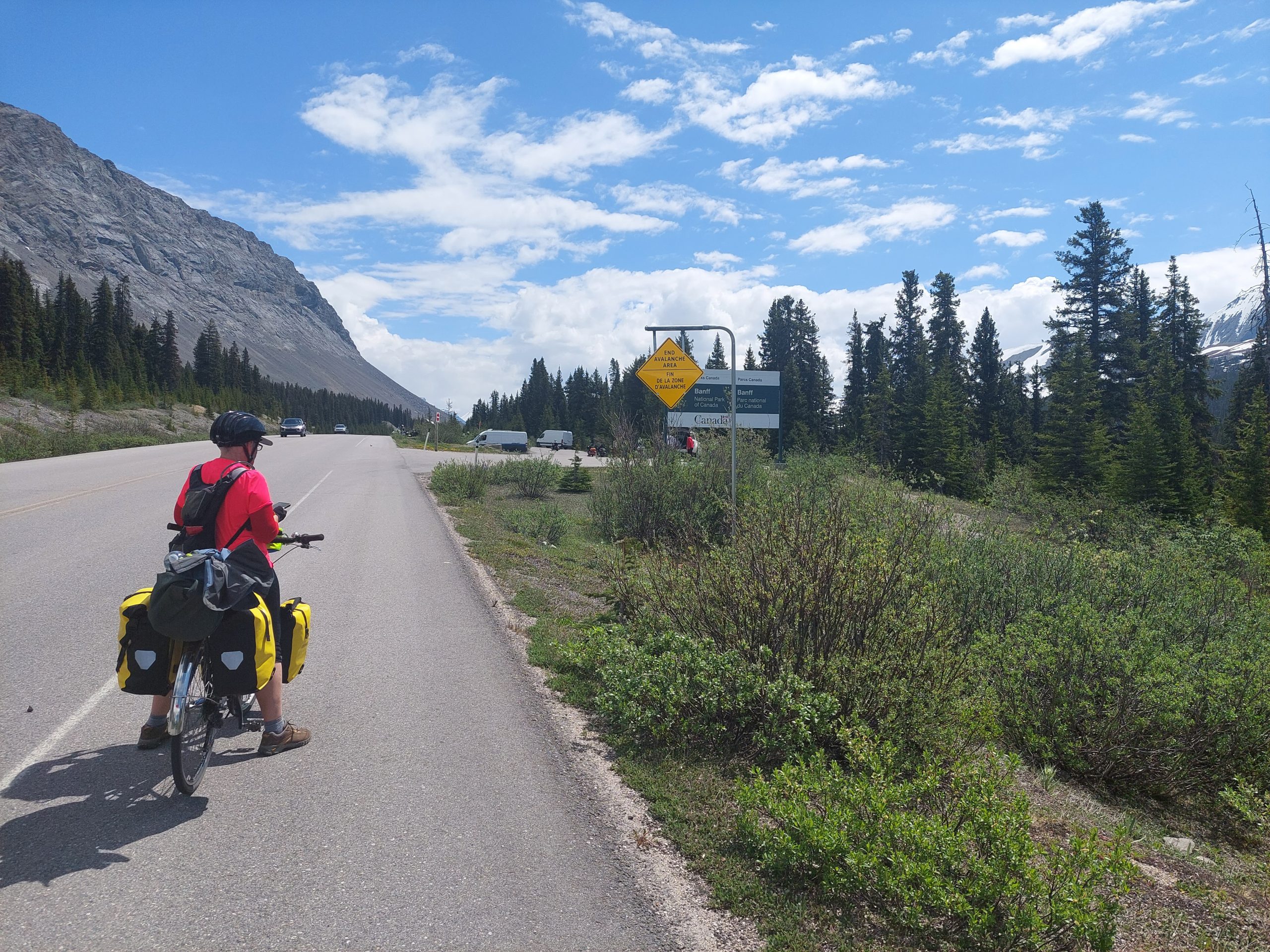
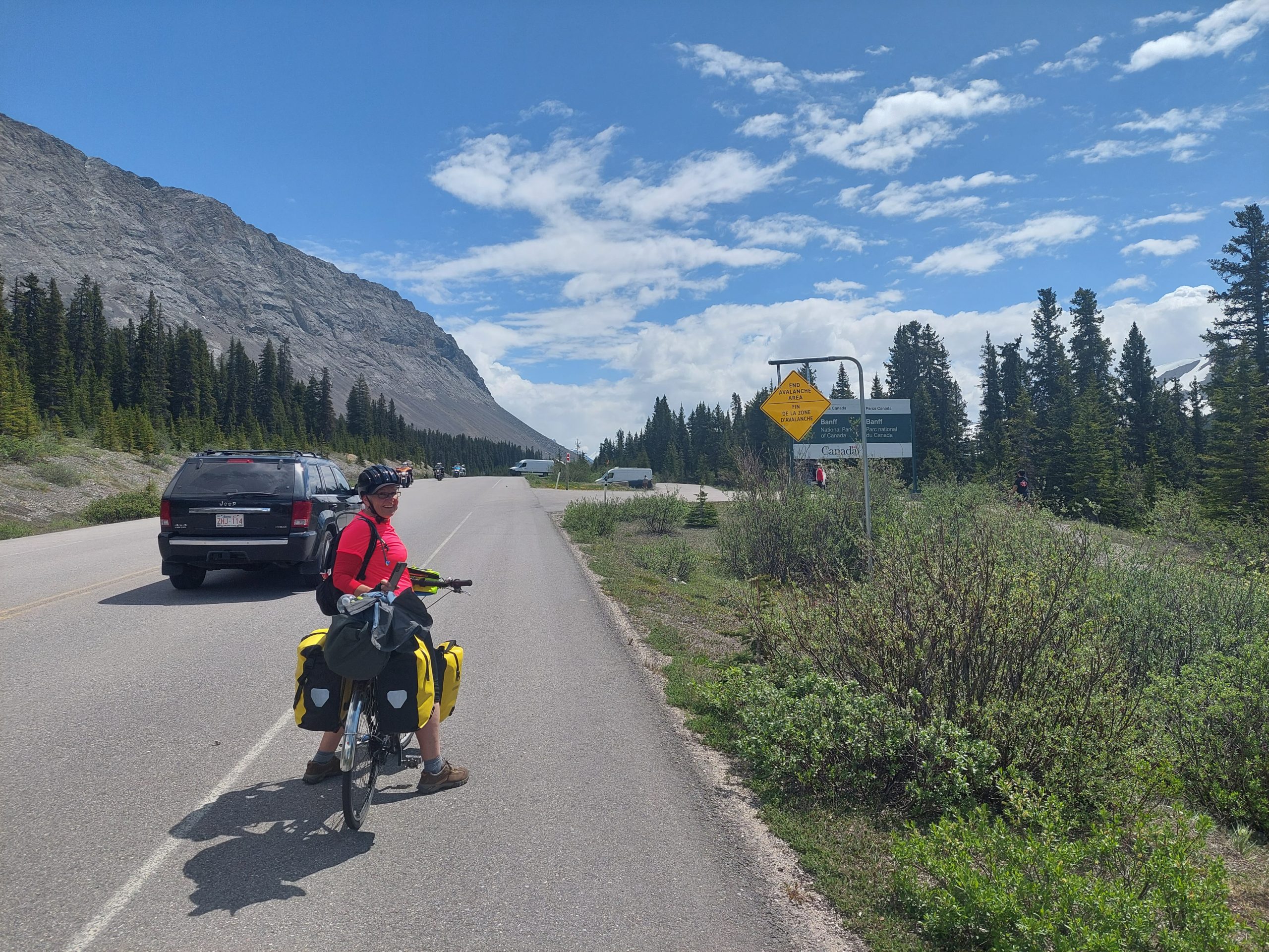
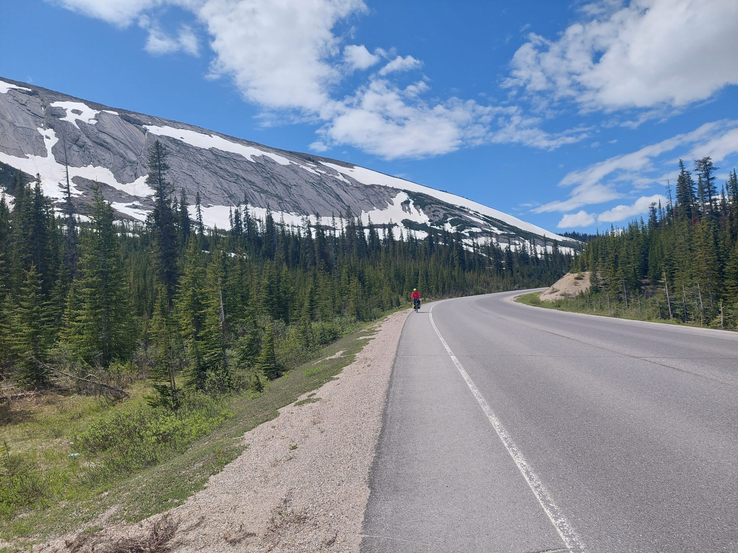
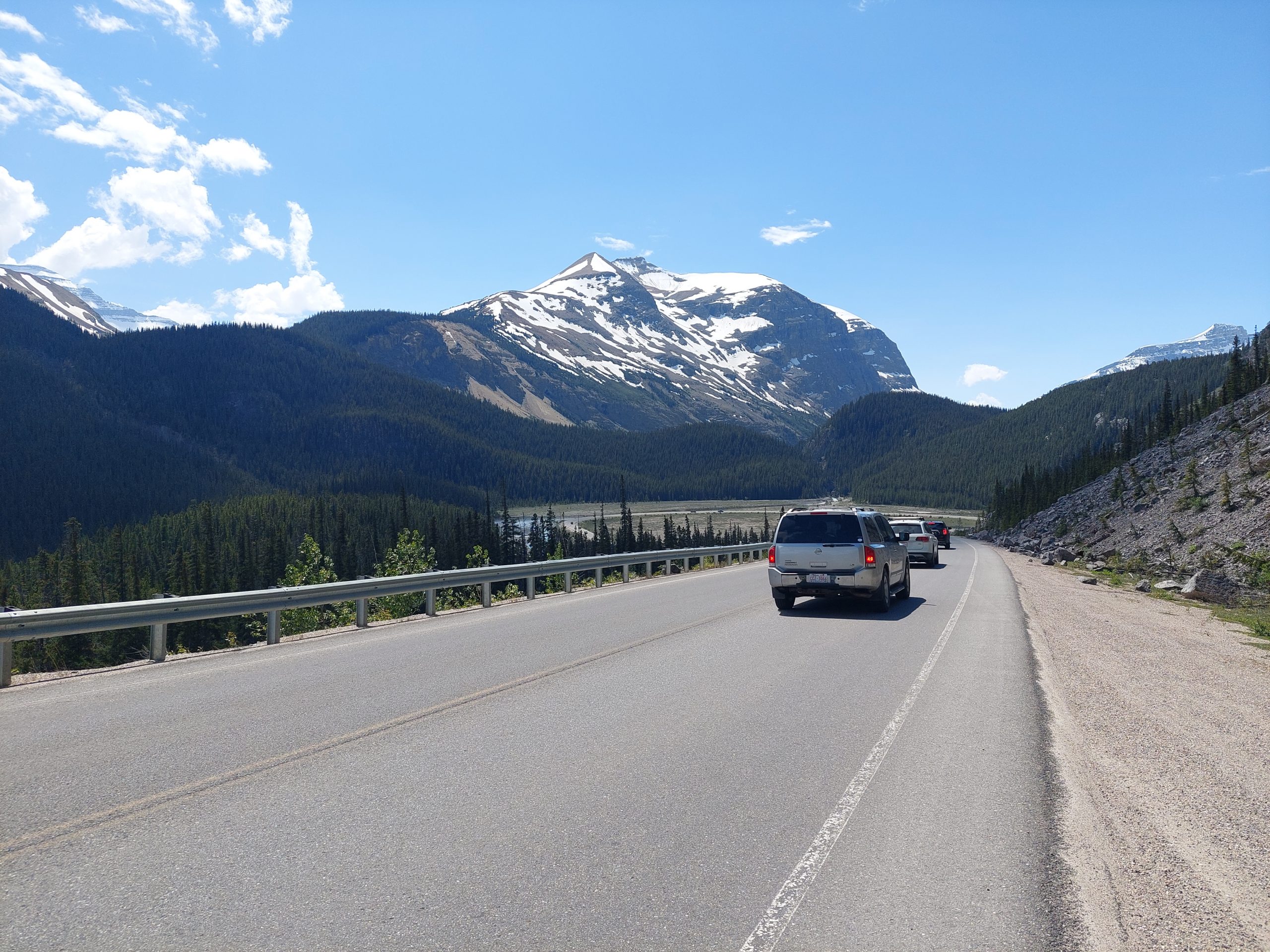
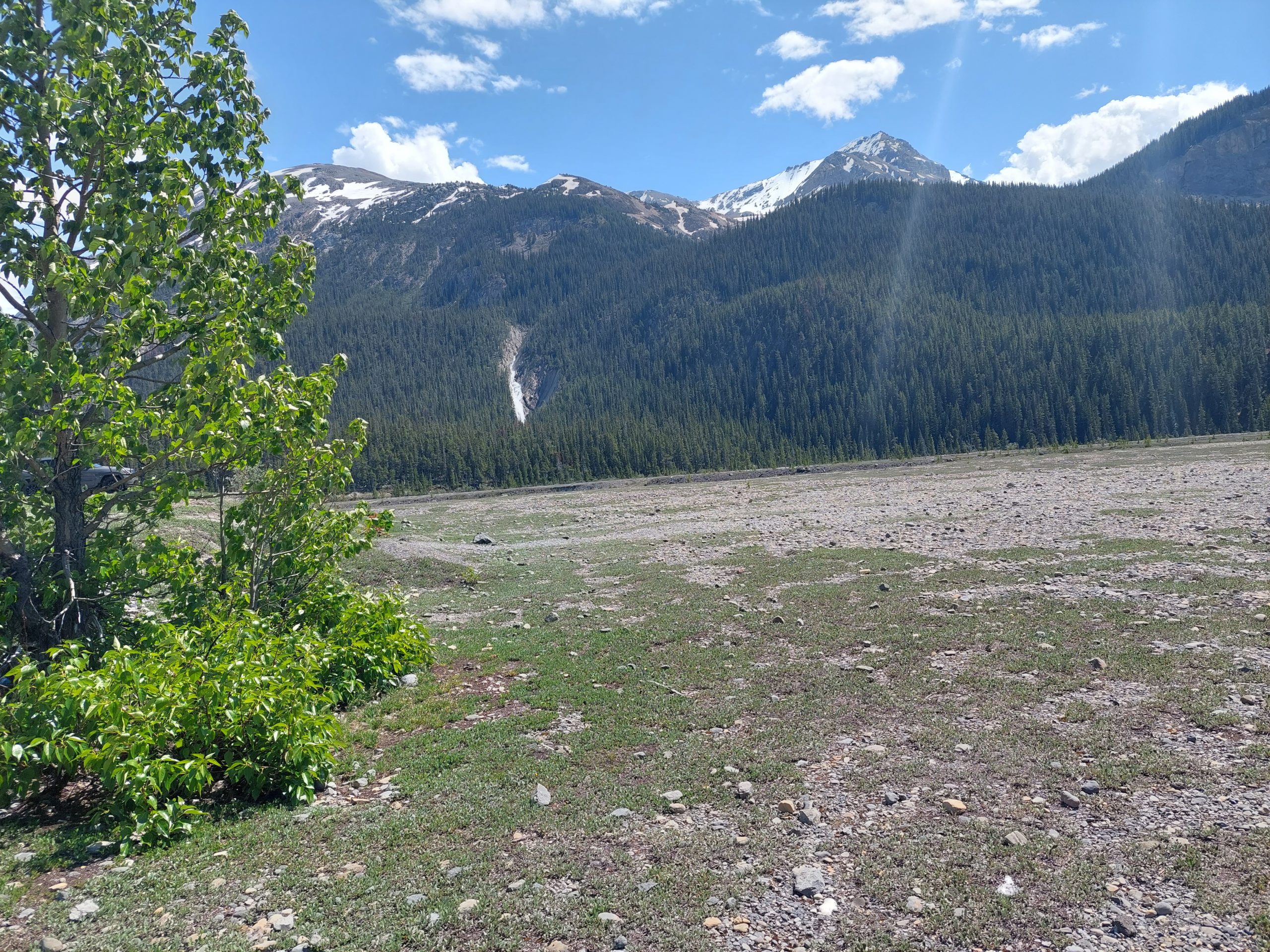
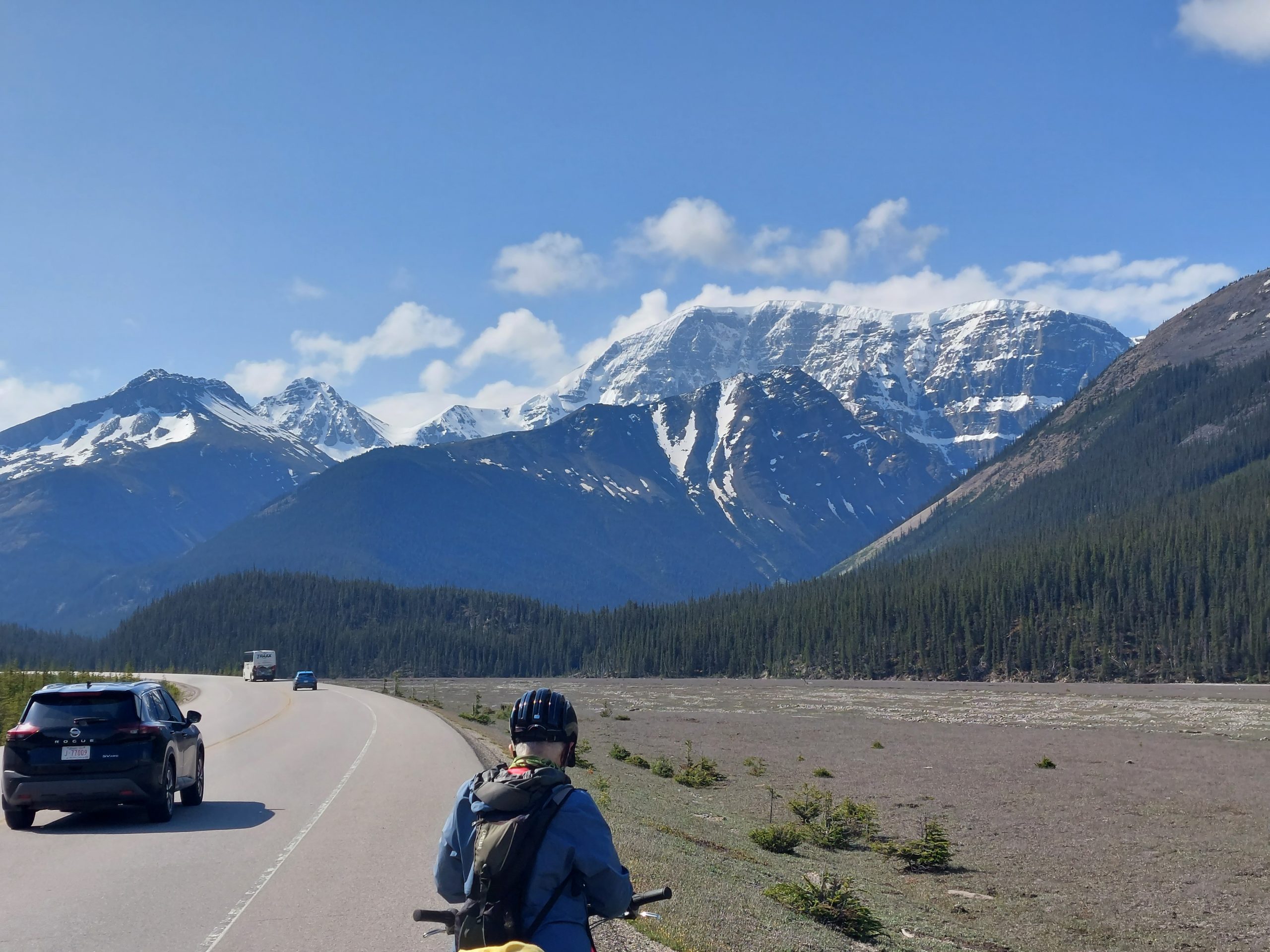
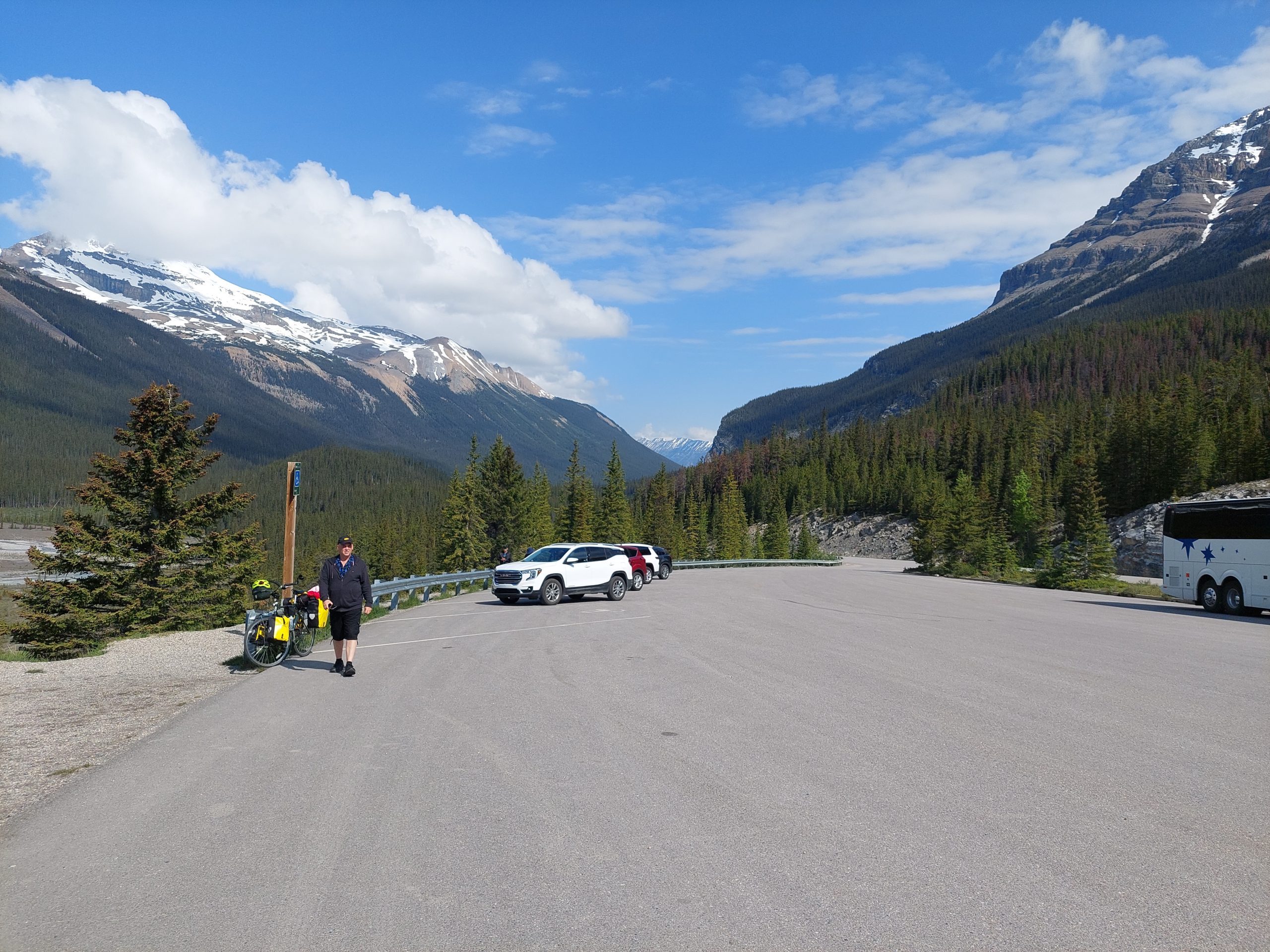
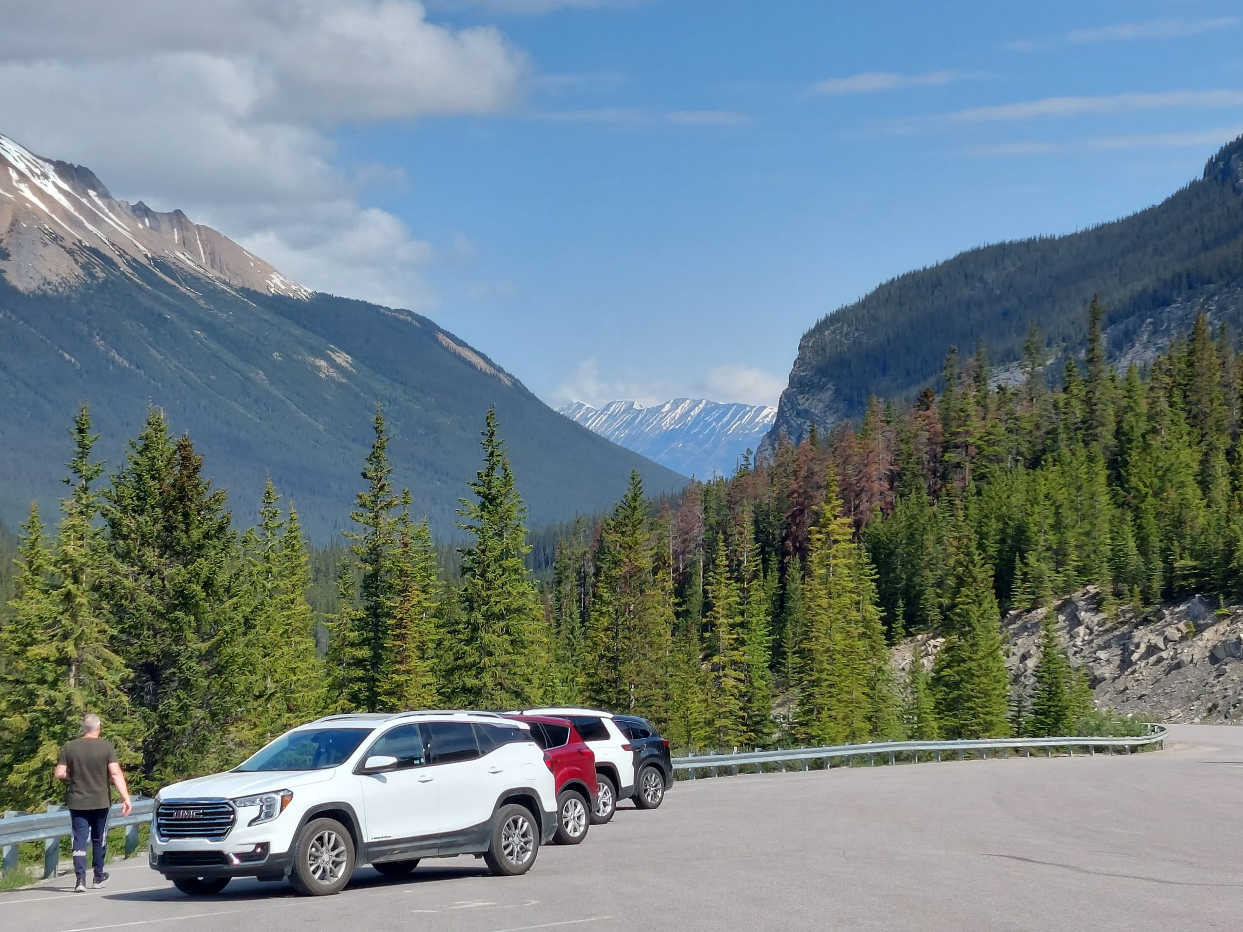
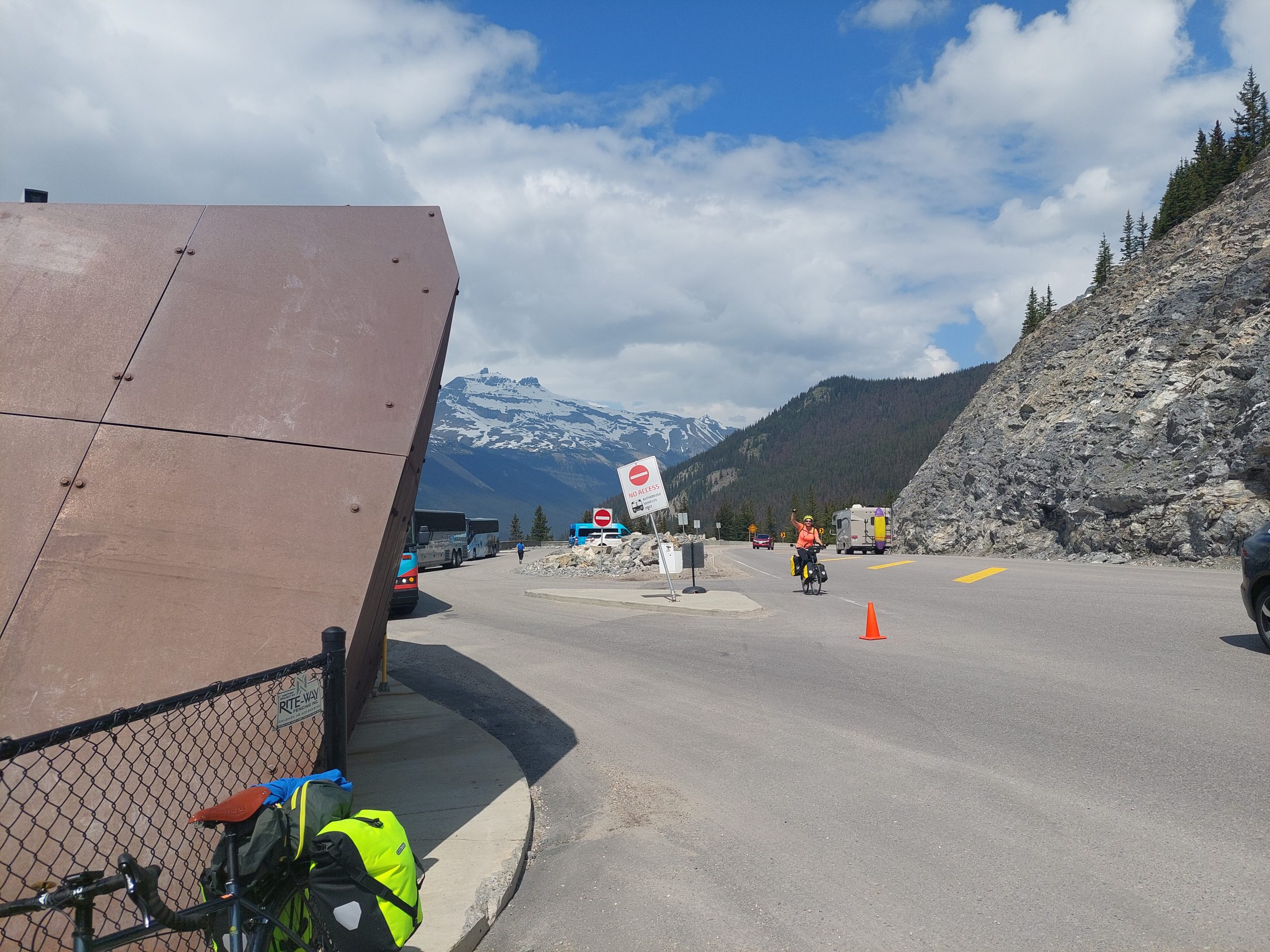
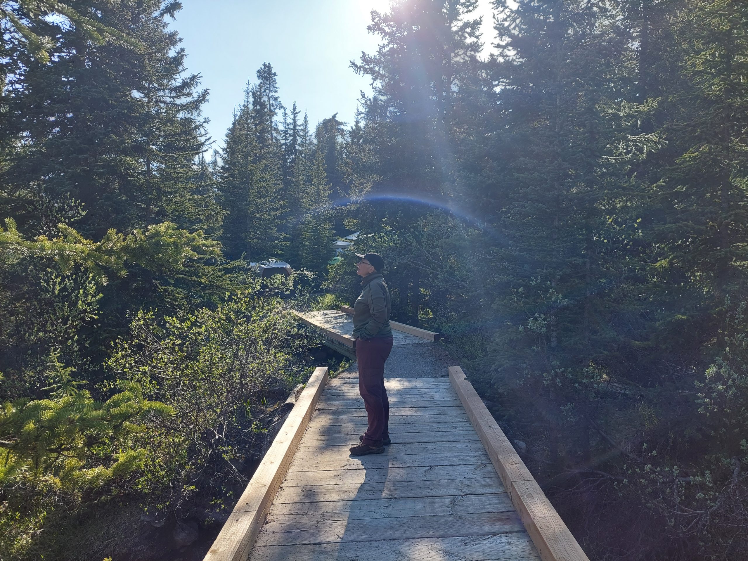
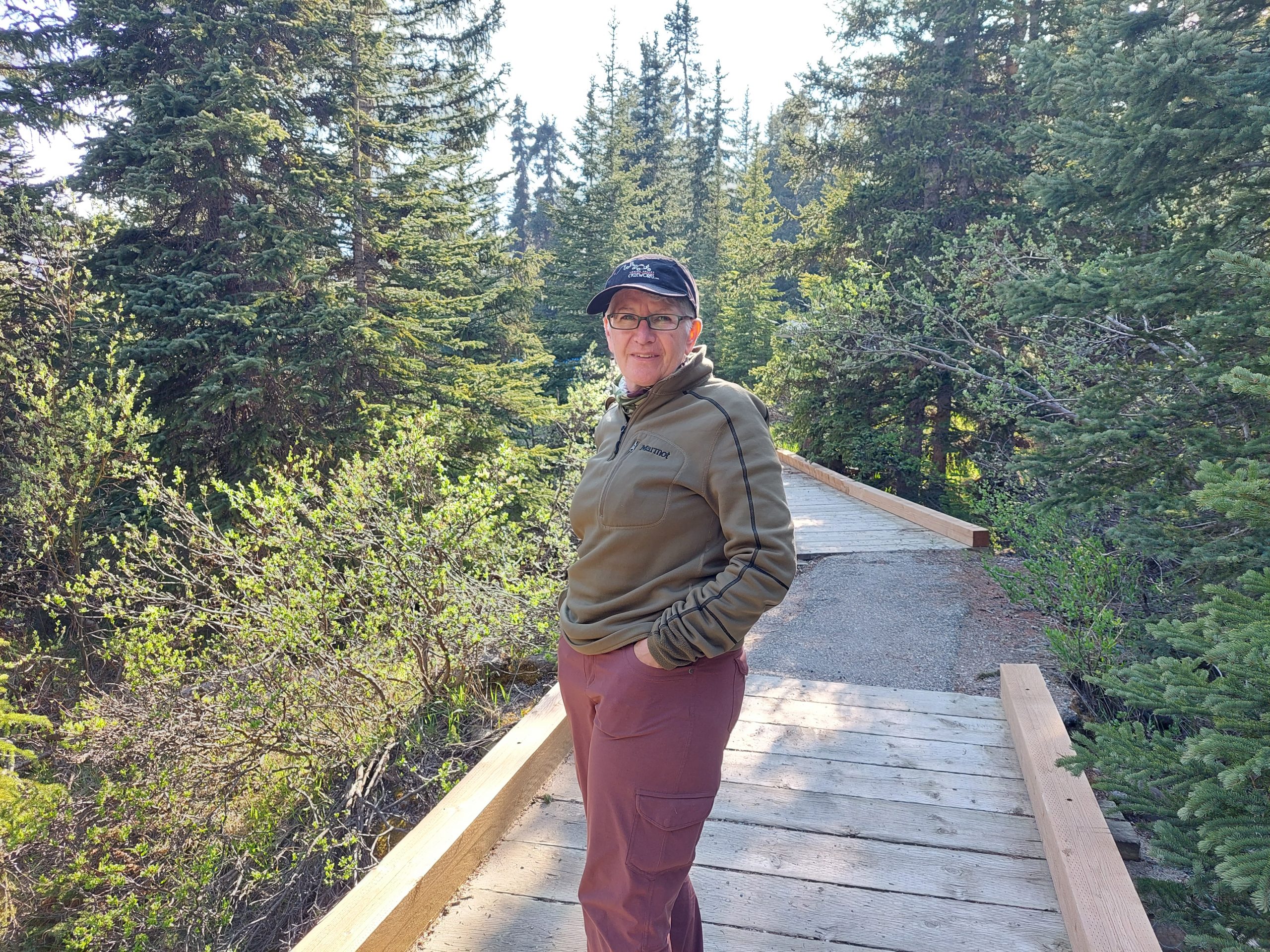
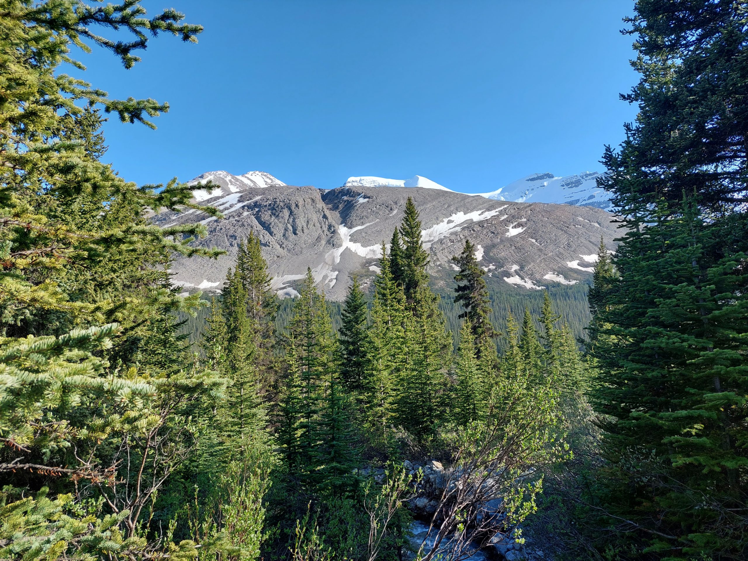
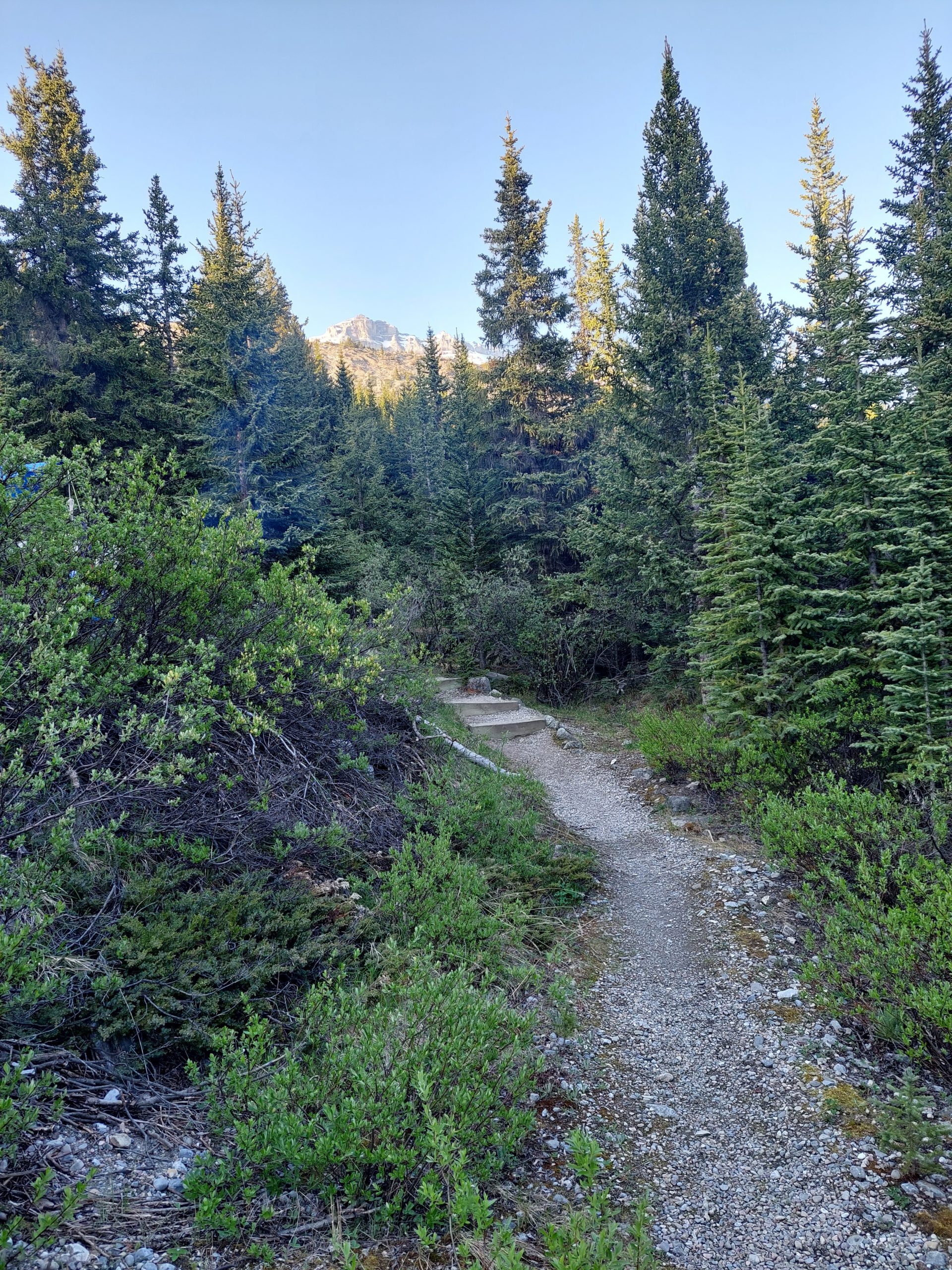
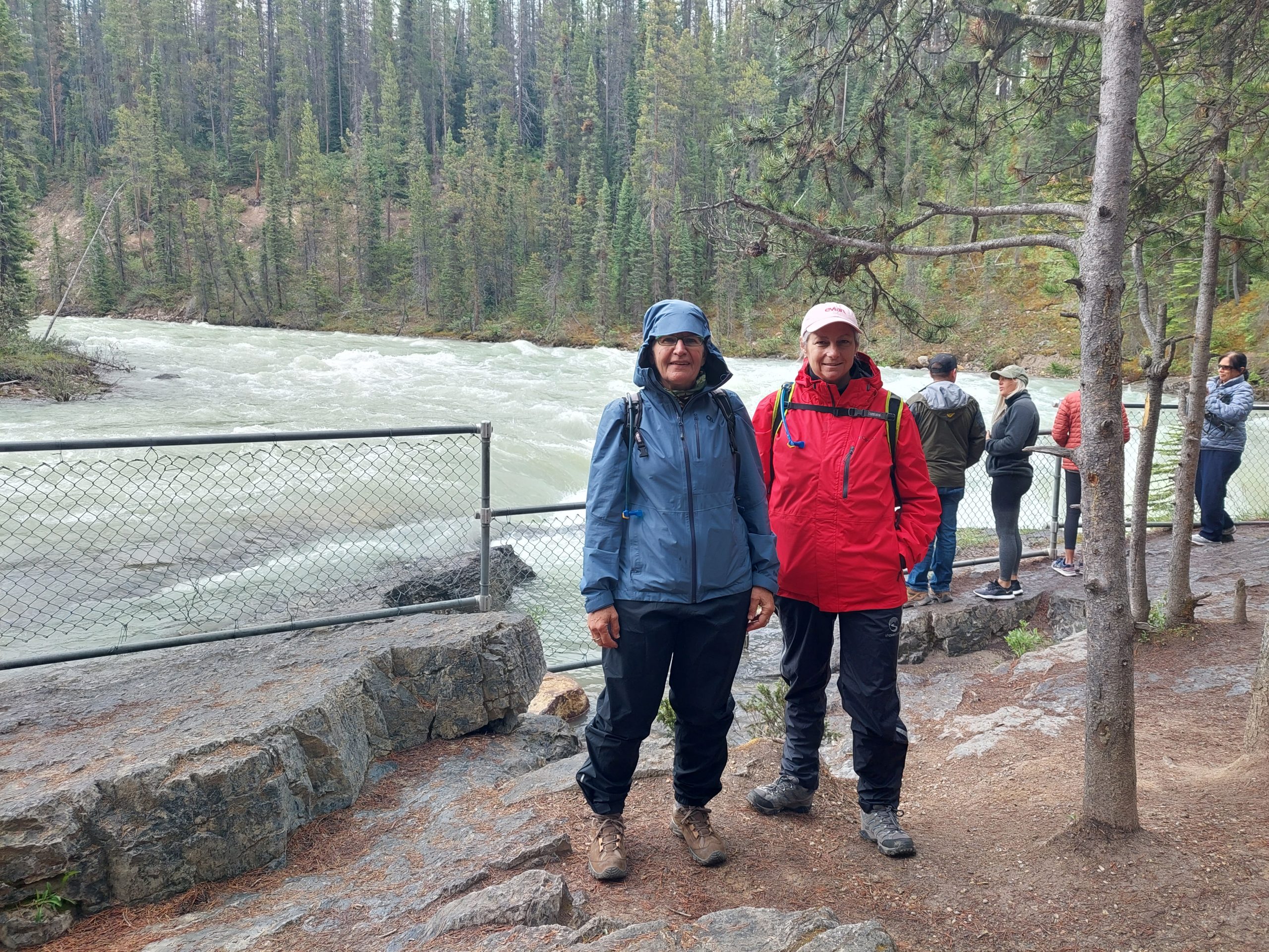
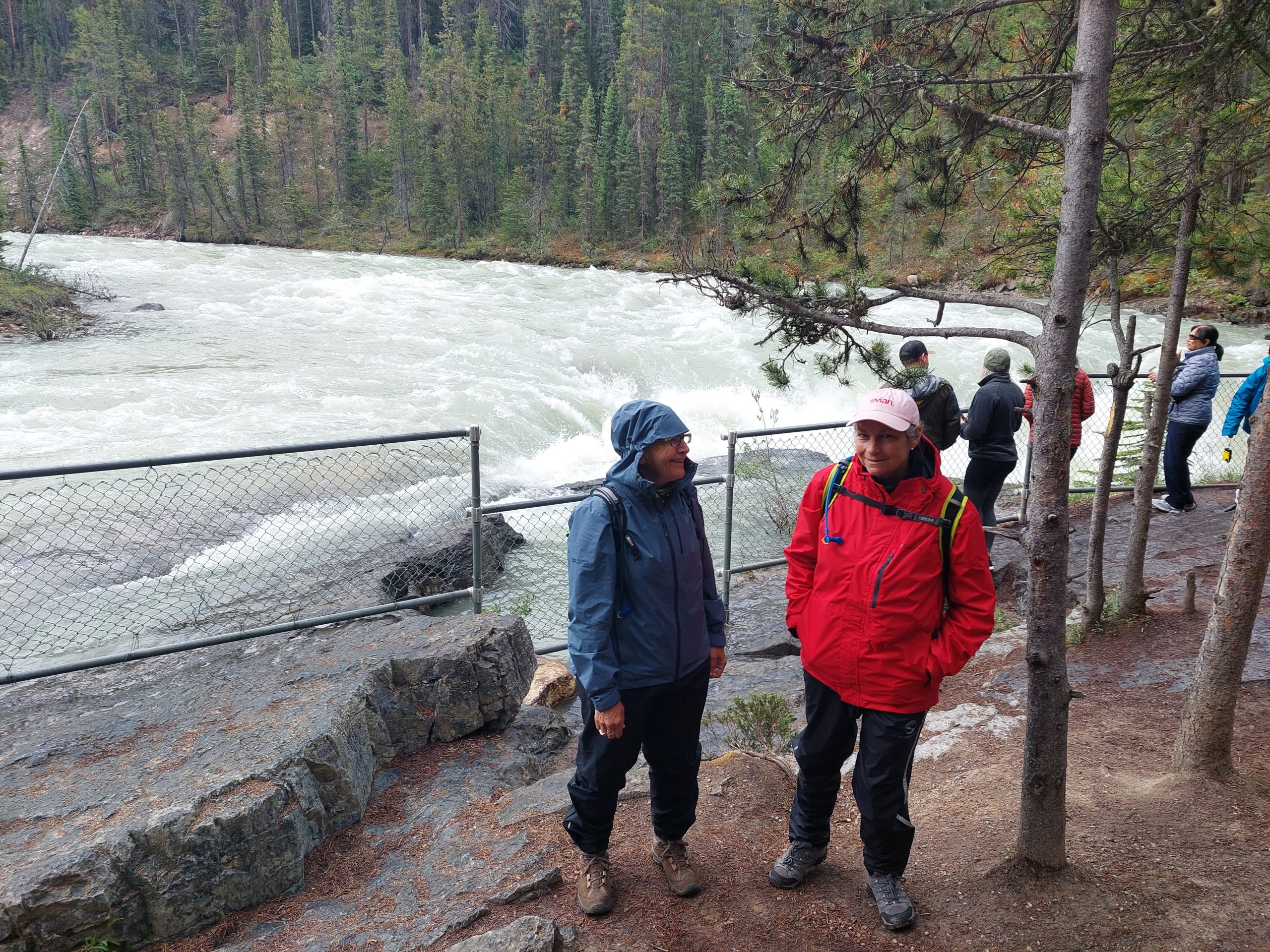
This was the day we left the parks and the parkways behind, and our final ride day together. We traveled down the Banff Heritage Trail, a bike path alongside the Trans-Canada Highway between the towns of Banff and Canmore…
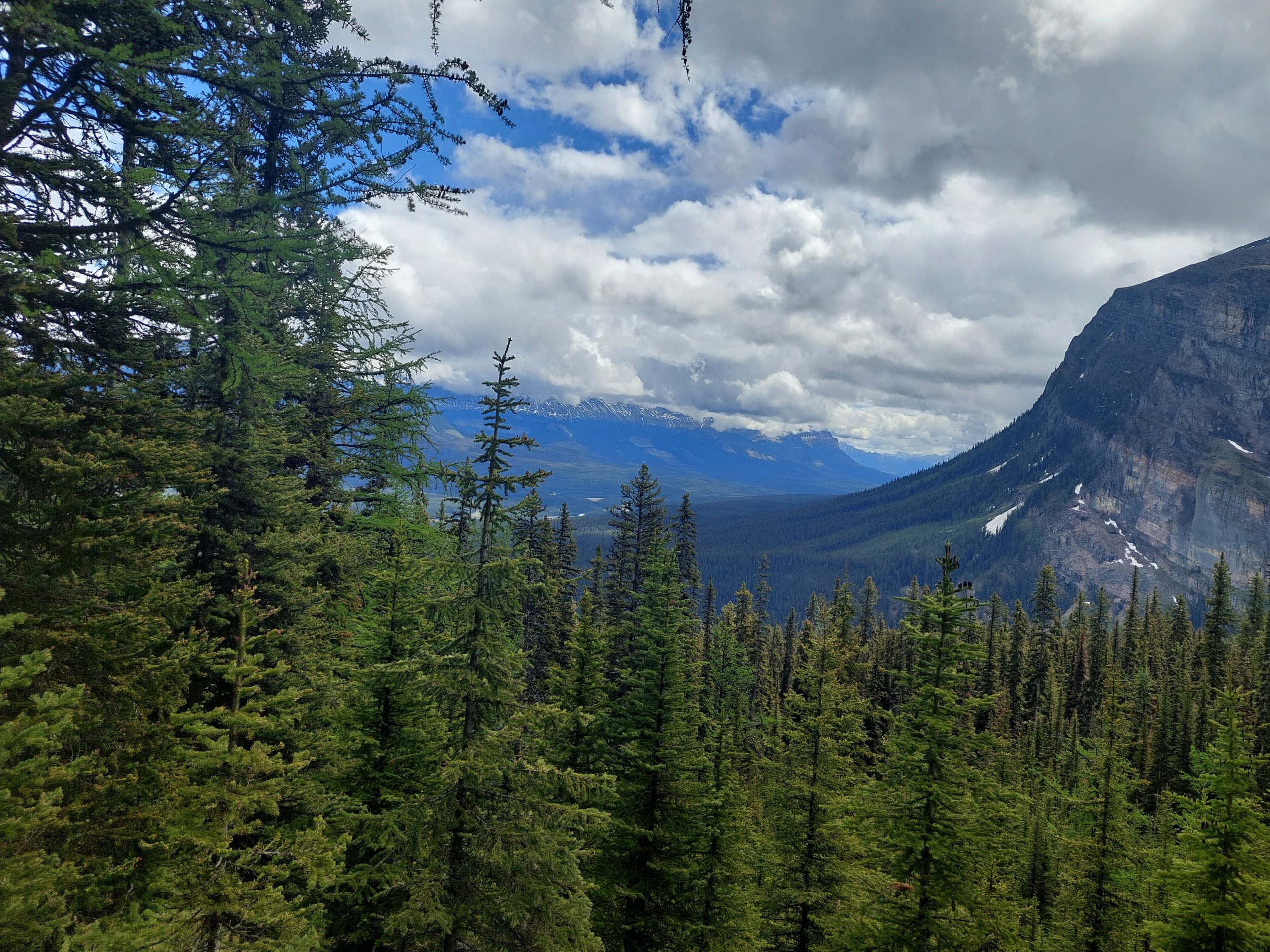
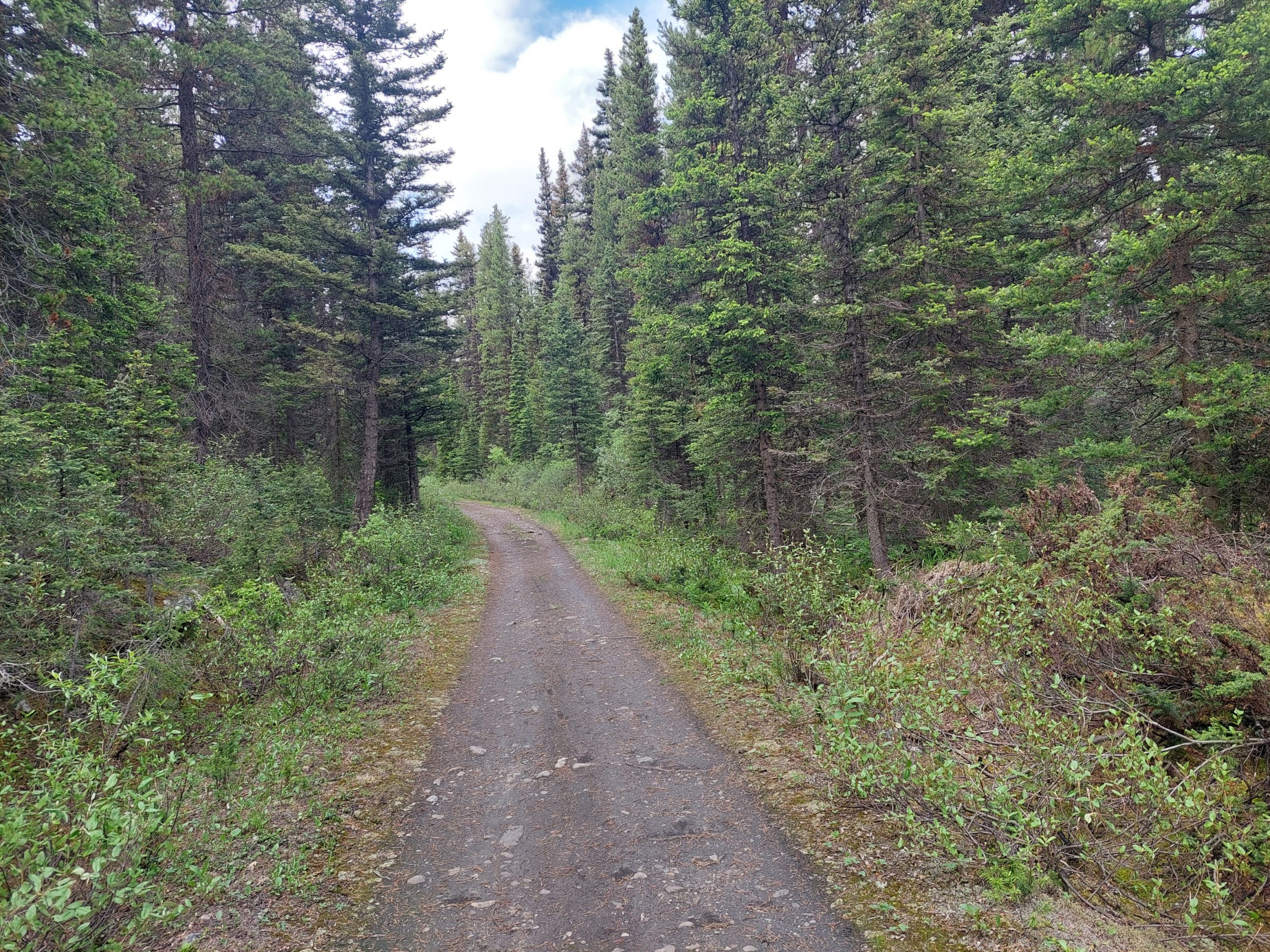
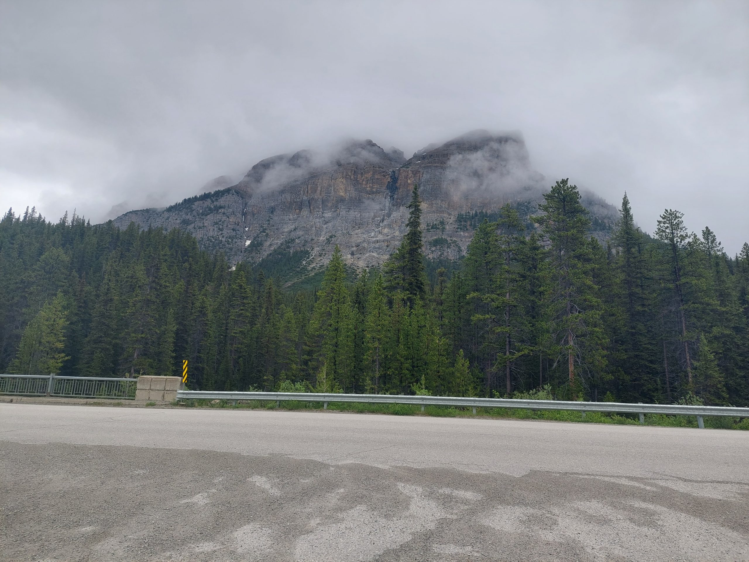
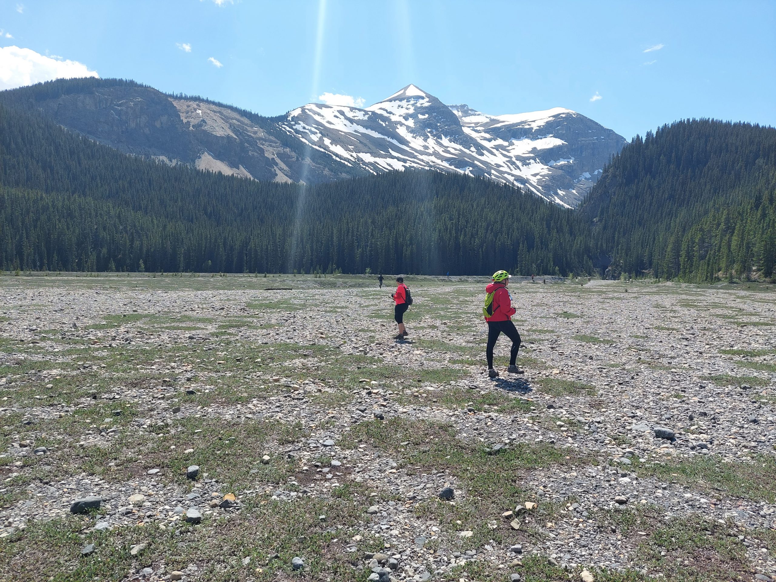
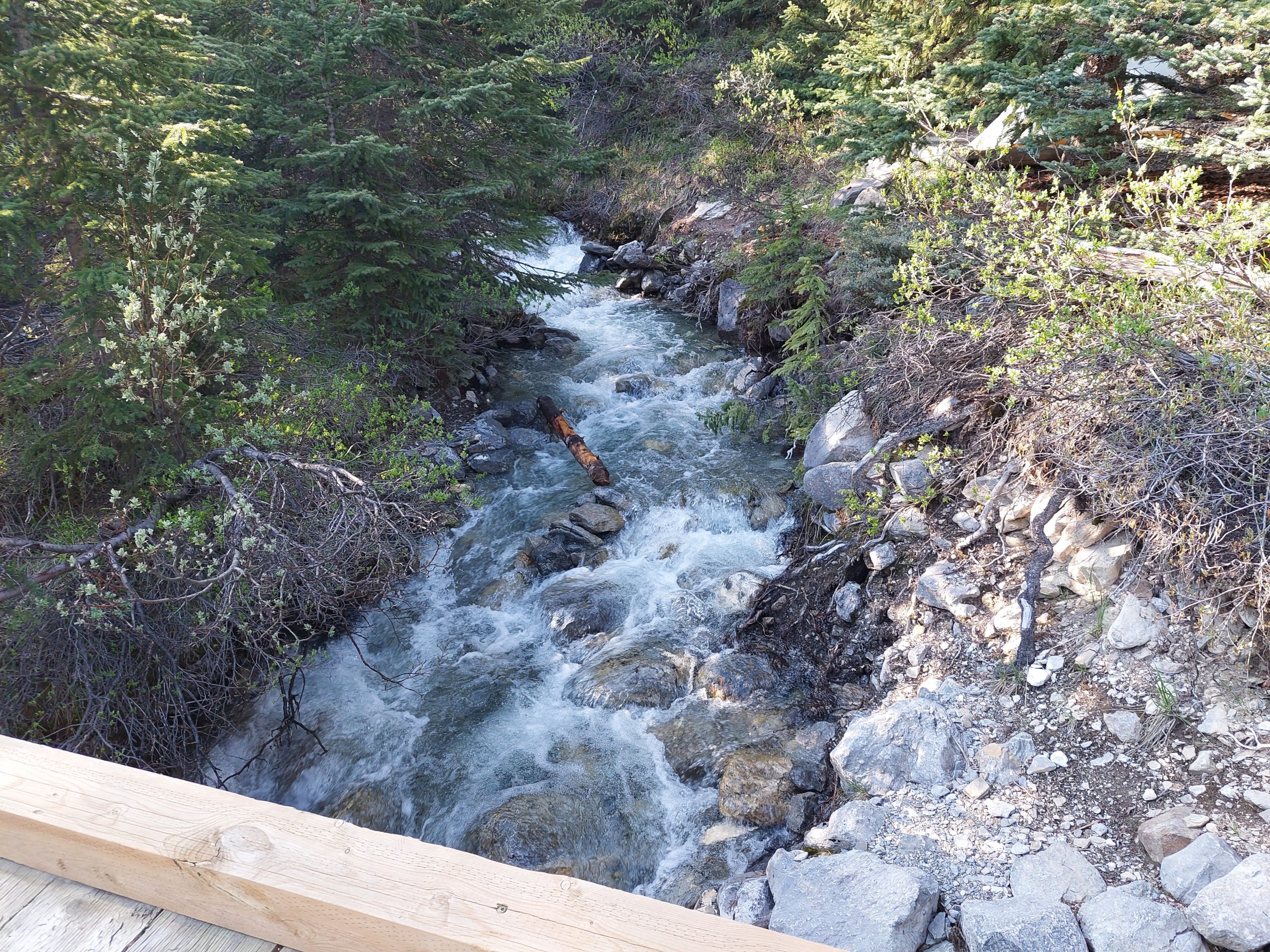
The bike path was pretty mellow, just a roll down the hill to the next town, and the vibe was a lot like any local rail-trail, with plenty of people doing what looked like their regular exercise and recreational, out-and-back rides. We were back in the real world, except that we were still surrounded by mountains and beautiful scenery, and wildlife was still a thing — Anne even saw a gray wolf at one point. Luckily it was on the other side of the Trans-Canada Highway’s wildlife protection fence, until we went a bit further and passed through a gate, back into the hungry wilderness… But it was a short ride for all that, and before we knew it we reached our final destination.
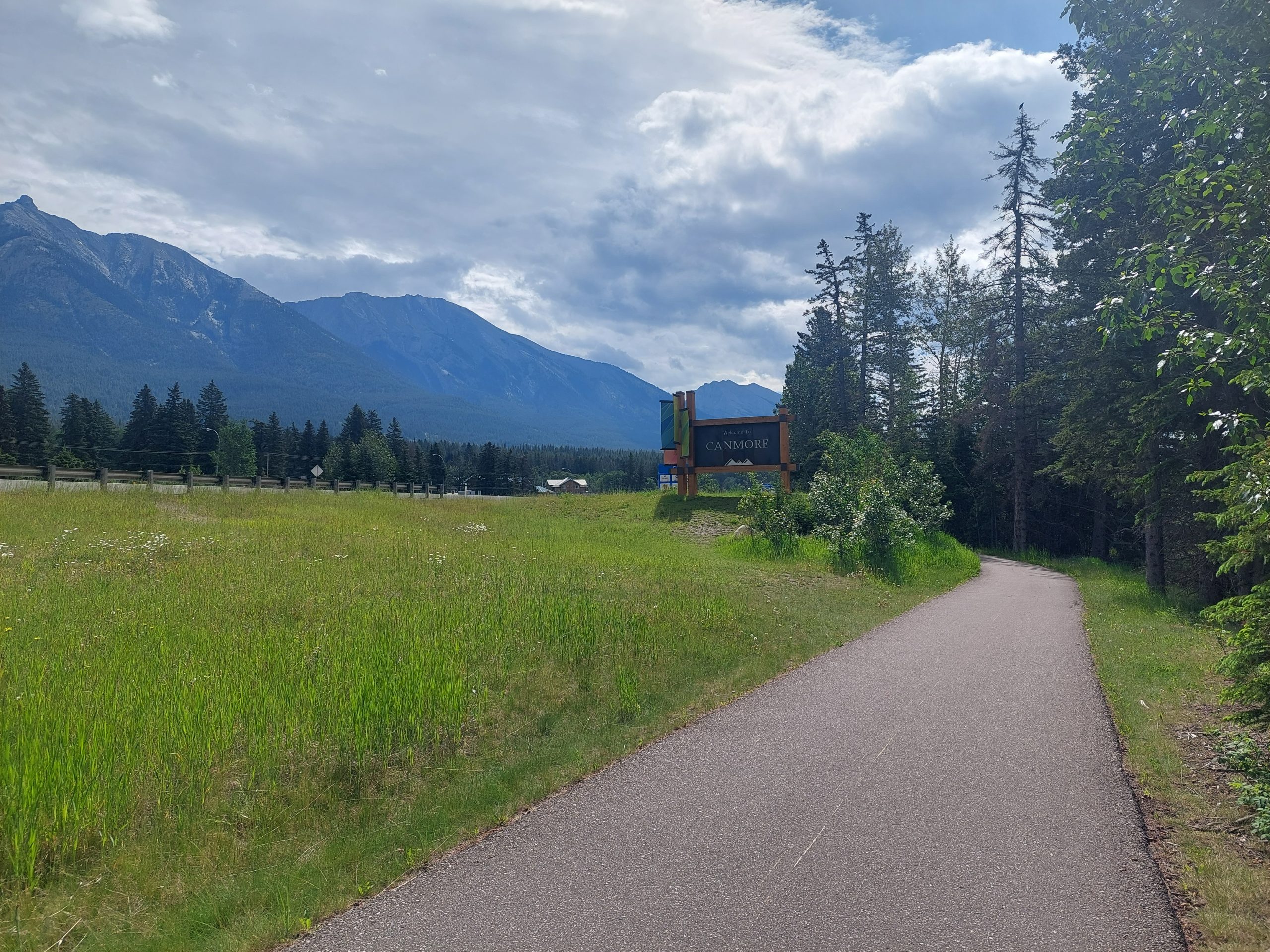
Canmore
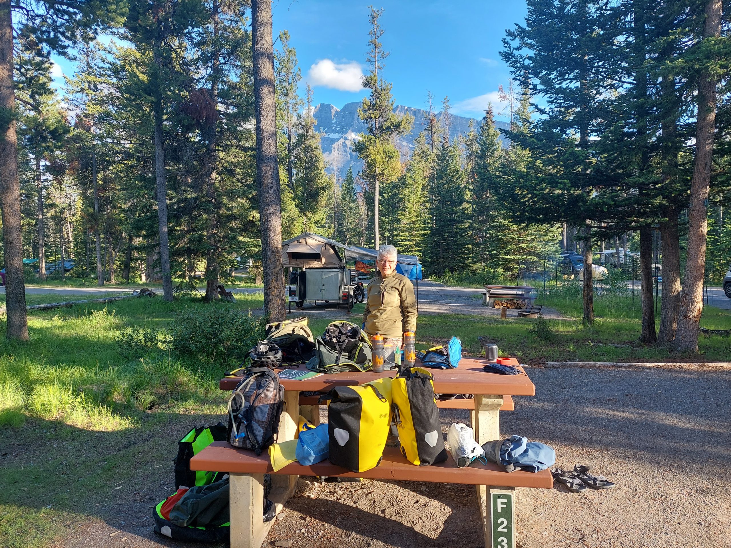
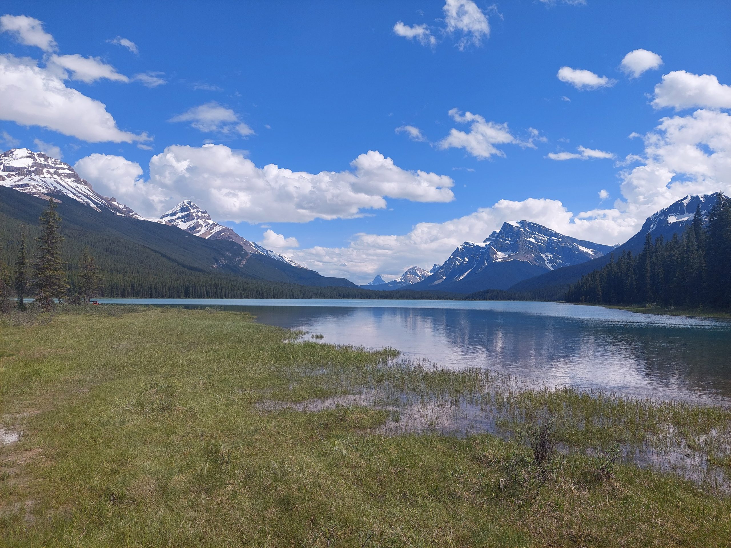
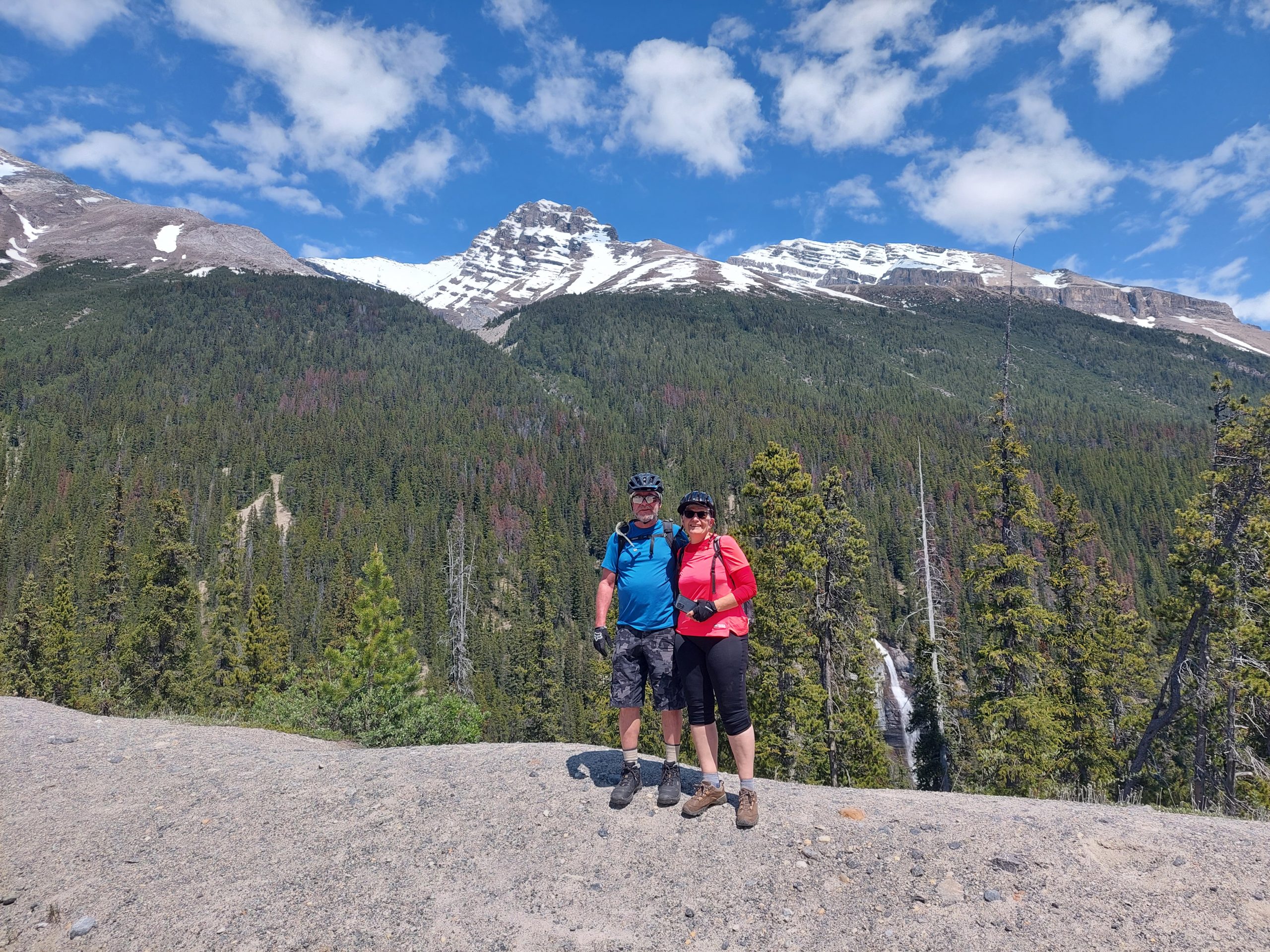
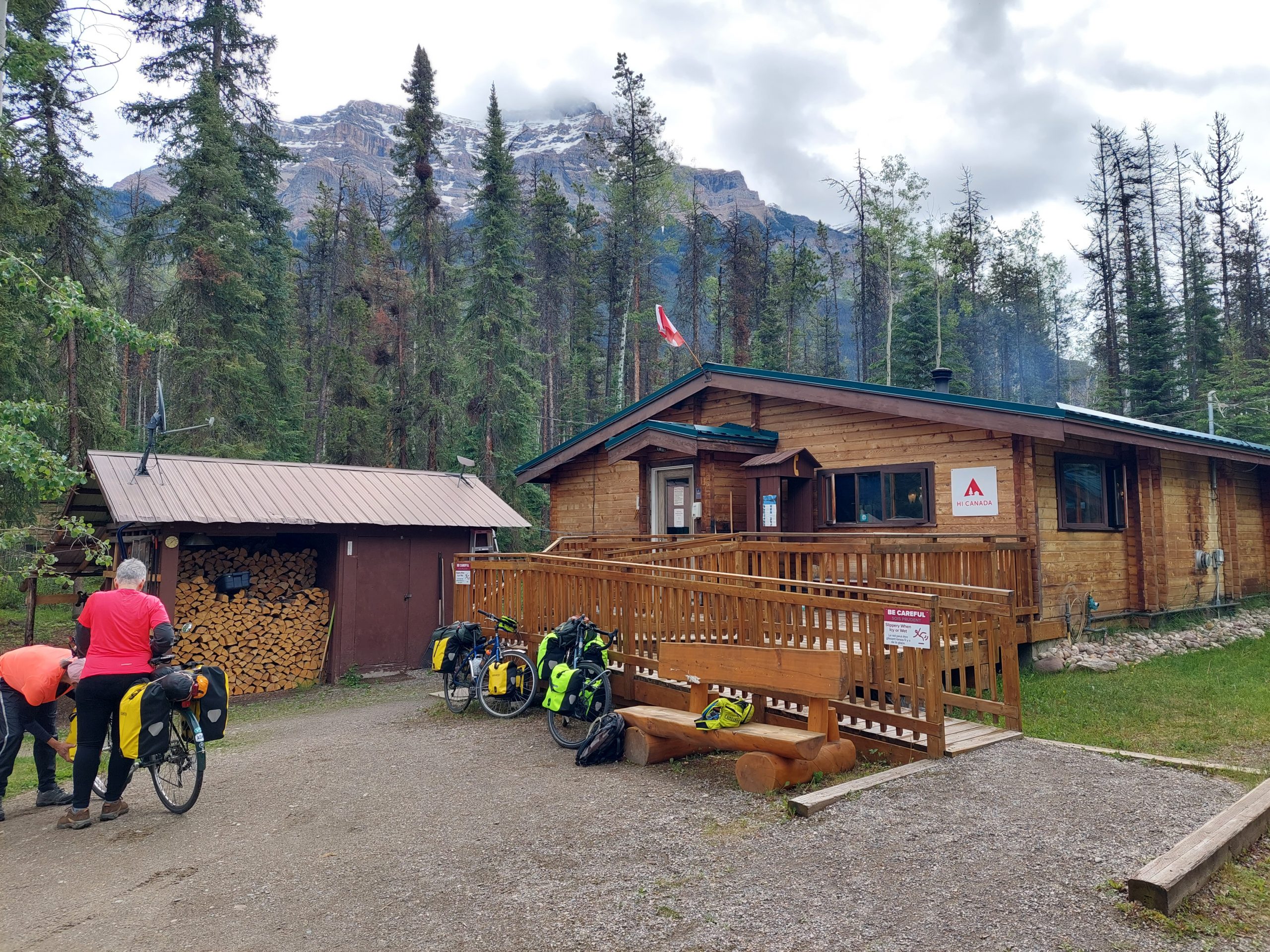
Canmore had been a coal mining town until 1979 when the mines closed, and reconfigured itself for outdoor sports just in time to be a part of the 1982 Winter Olympics in Calgary — and that’s what put it on the map. It’s a beautiful town, just outside the national park and a tourist destination in its own right — mountain biking in summer, XC skiing in winter — but more charming and less crowded than the towns of Banff and Lake Louise. There was a considerable residential area, and a “real town” shopping district with supermarkets, hardware stores and so on, besides the more touristy “restaurant row,” which was closed to auto traffic and full of outdoor dining, souvenir stands and bike shops. Julie had an appointment at one of them (Outside Bikes) to drop her bike off for packing, and while we were there we got a recommendation for lunch/dinner at their go-to, a brewpub just around the corner. House-smoked brisket sandwiches and cold brews — delicious! After lunch we made our way to the Alpine Club Hostel, our lodging for the night. That was pretty much all she wrote for me, though I think Anne and Julie stayed up a bit later.
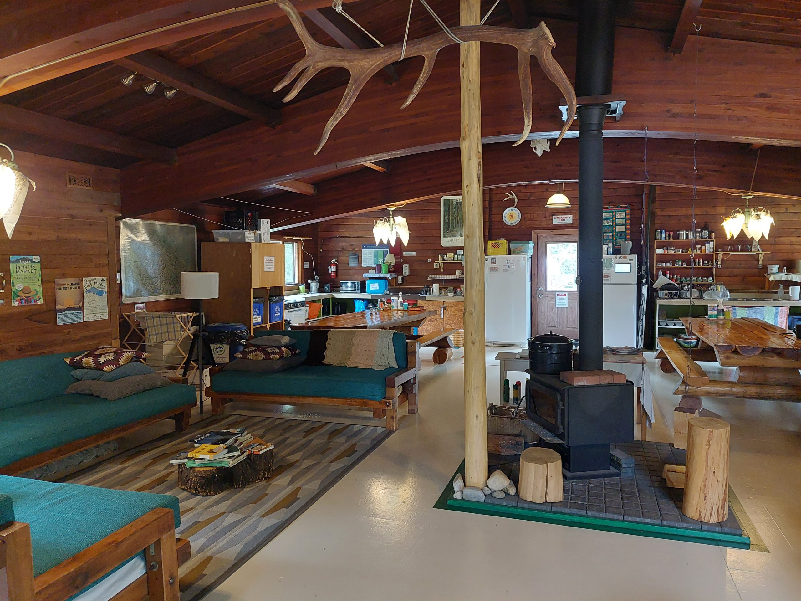
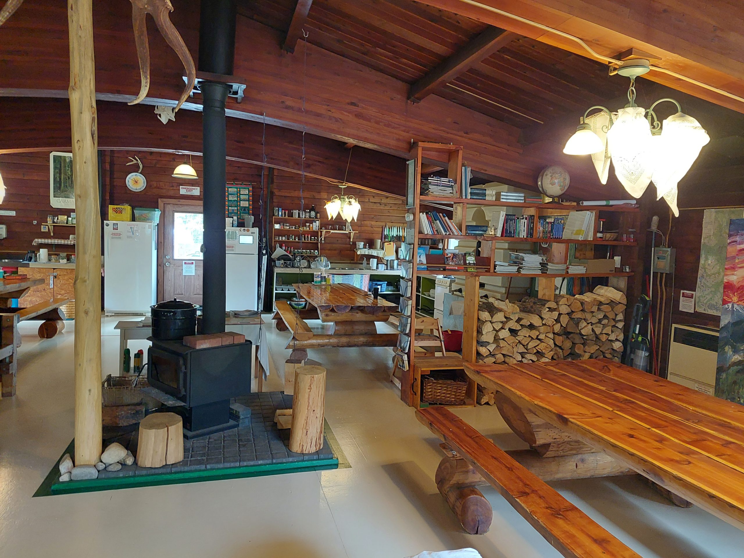
Anyway, here are some shots from the day’s ride, and one photo I took from the porch of our hostel:
Leaving BanffSouthboundPhoto OpJulieAnne Rides OnEnd Of The LineWelcome To Canmore!Julie At The Finish LineHostel Porch View
This is the eleventh in a series of posts about our bicycling trip from Jasper to Canmore, via the Icefields and Bow Valley Parkways, through Jasper and Banff National Parks in Alberta, Canada. The full series can be found here.
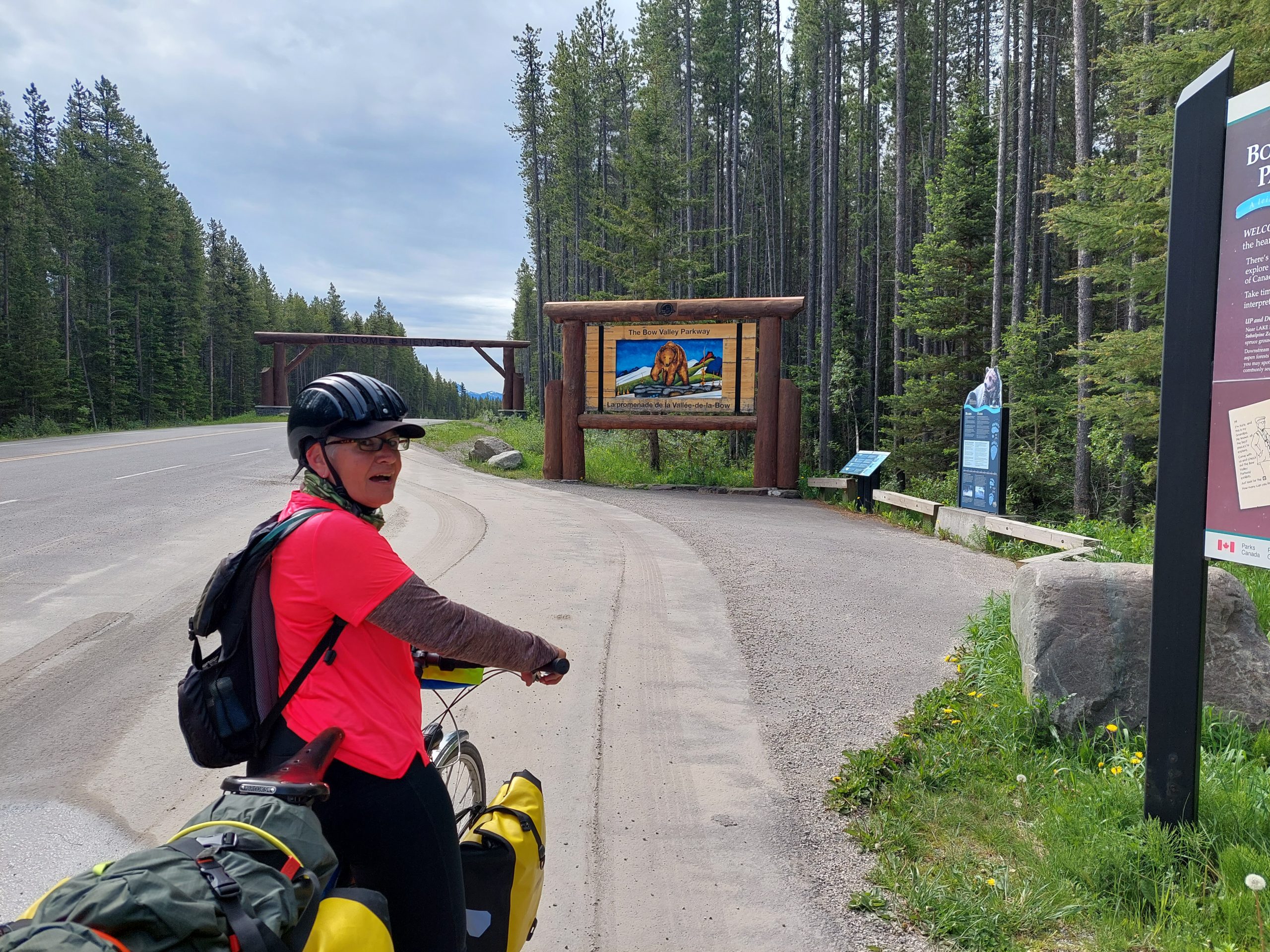
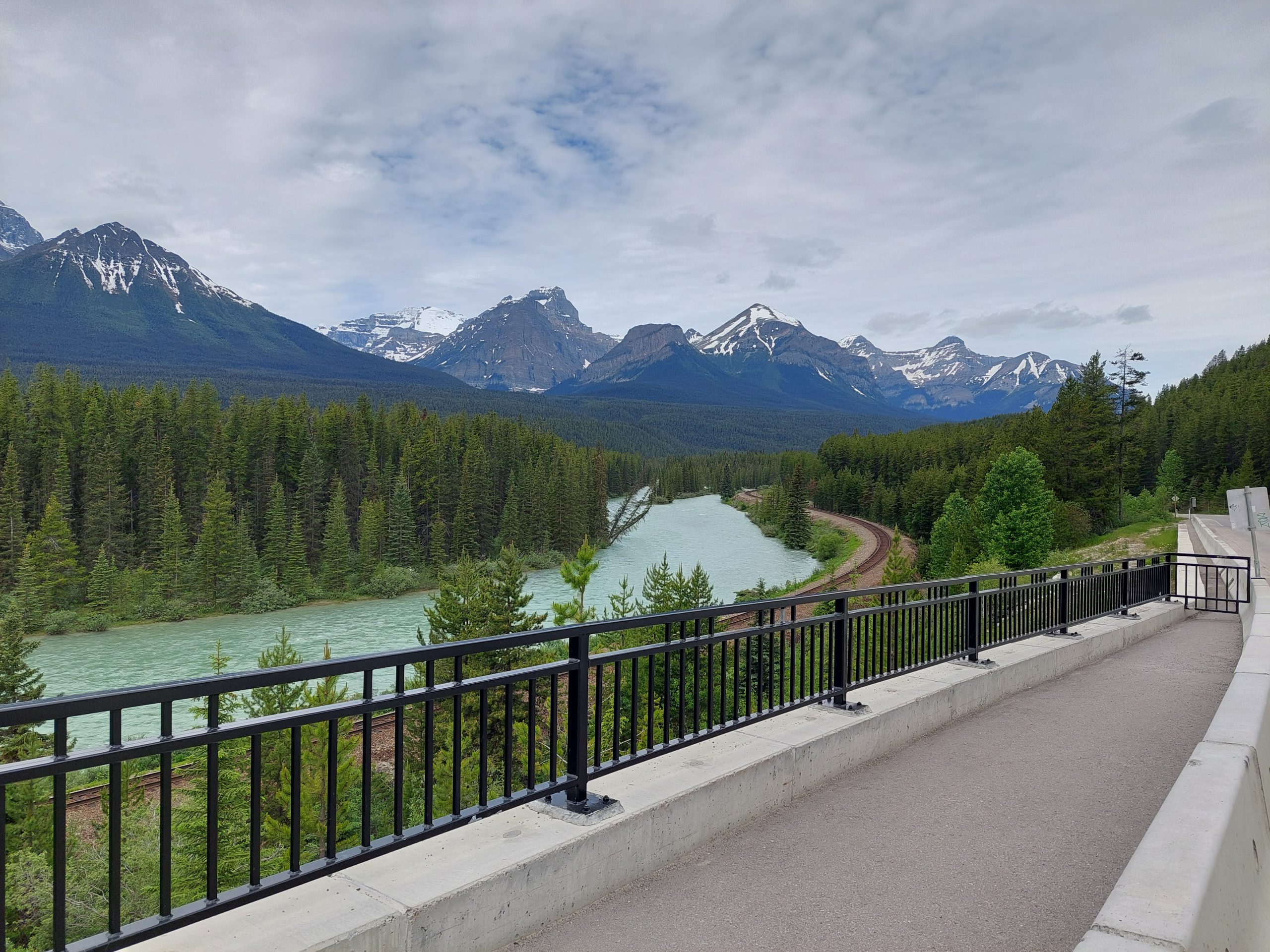
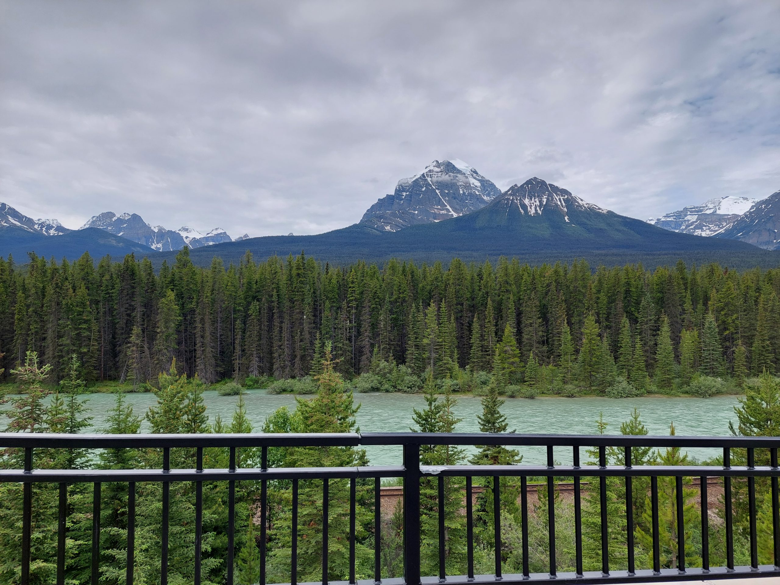
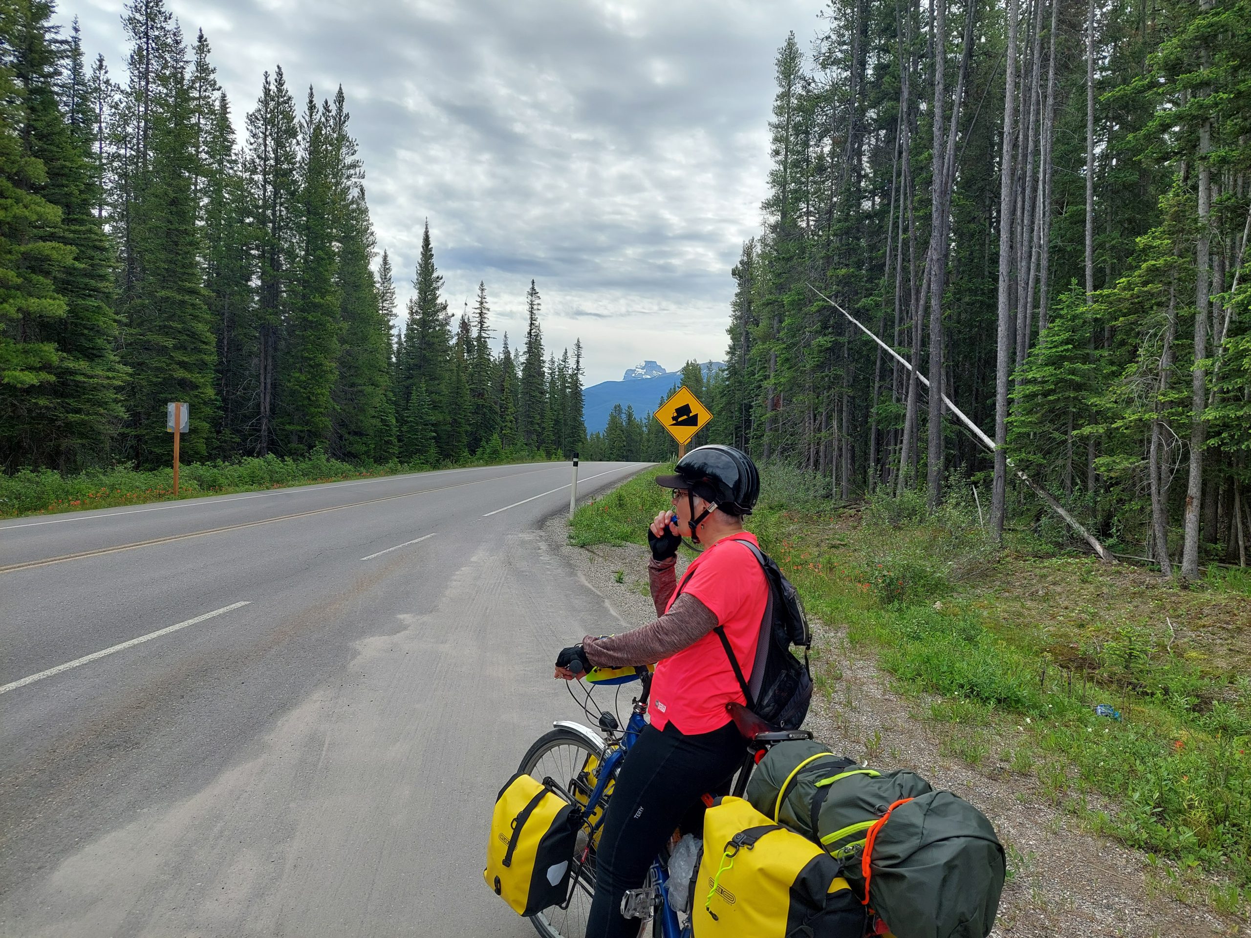
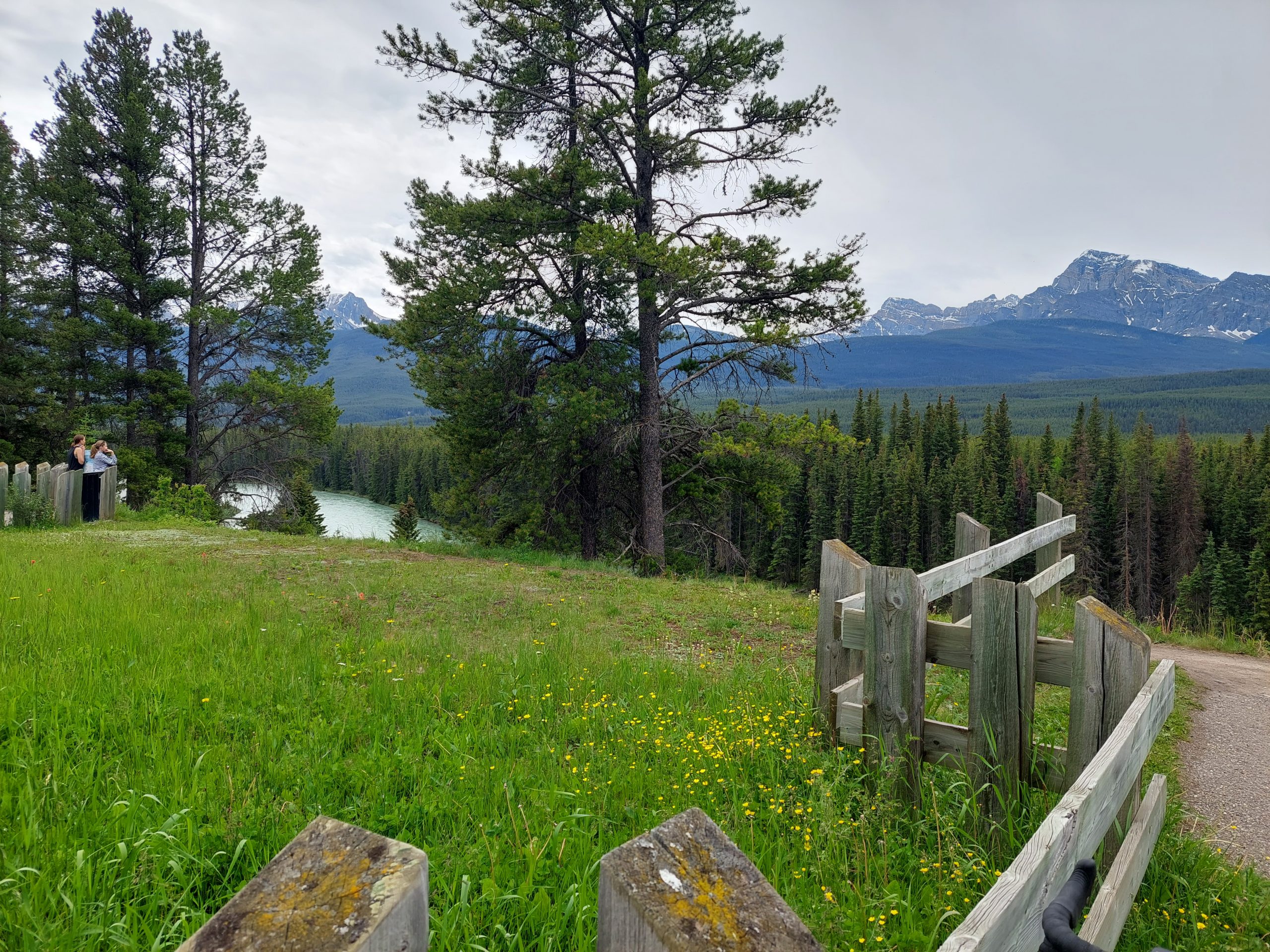
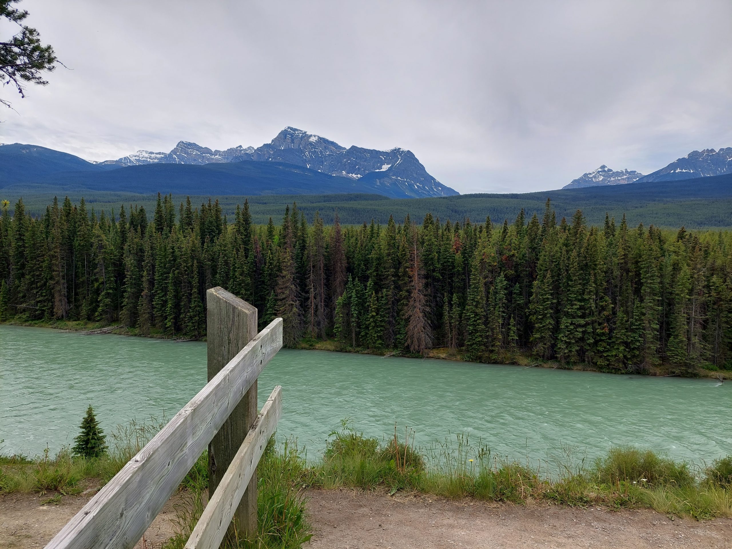
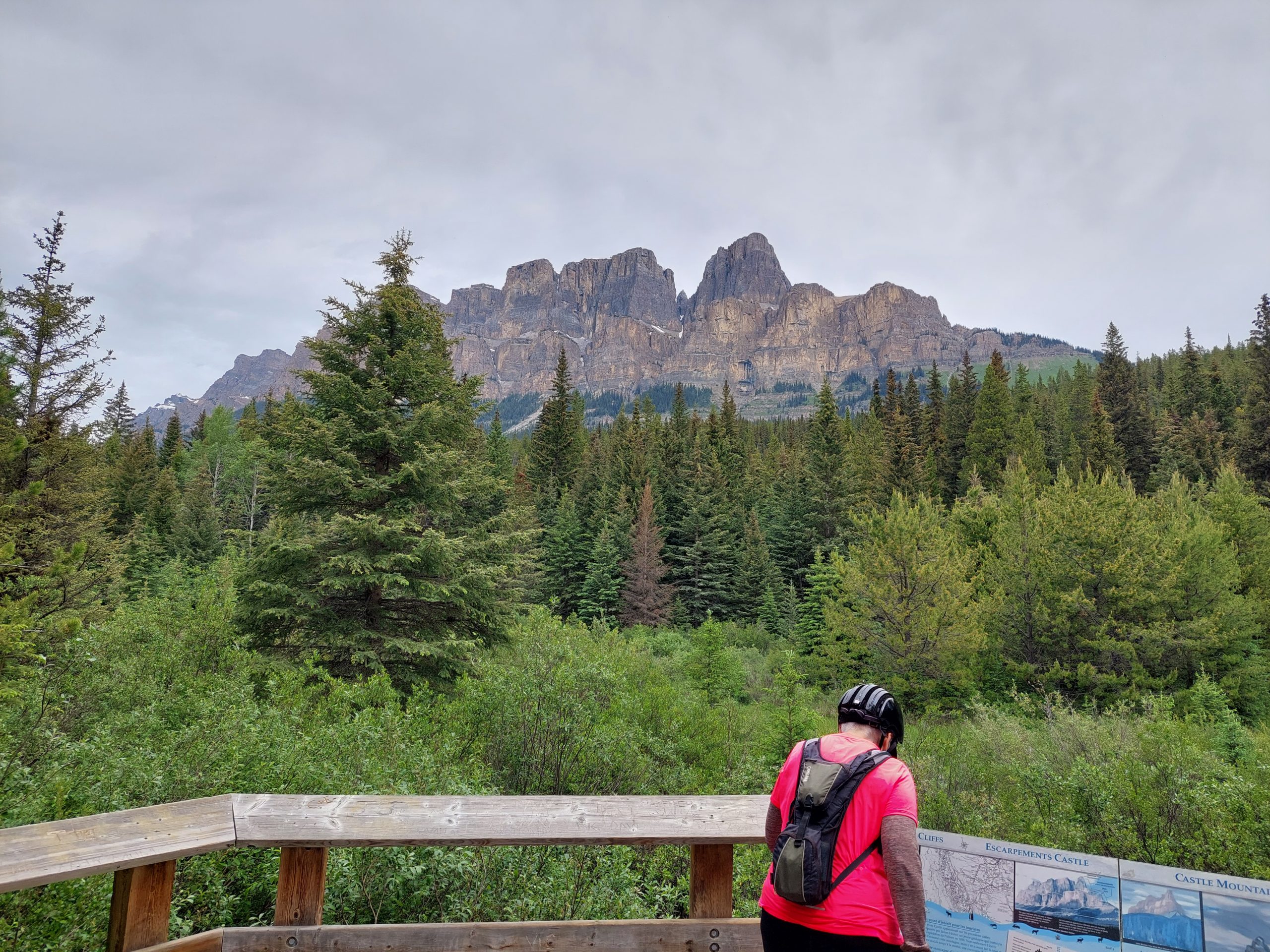
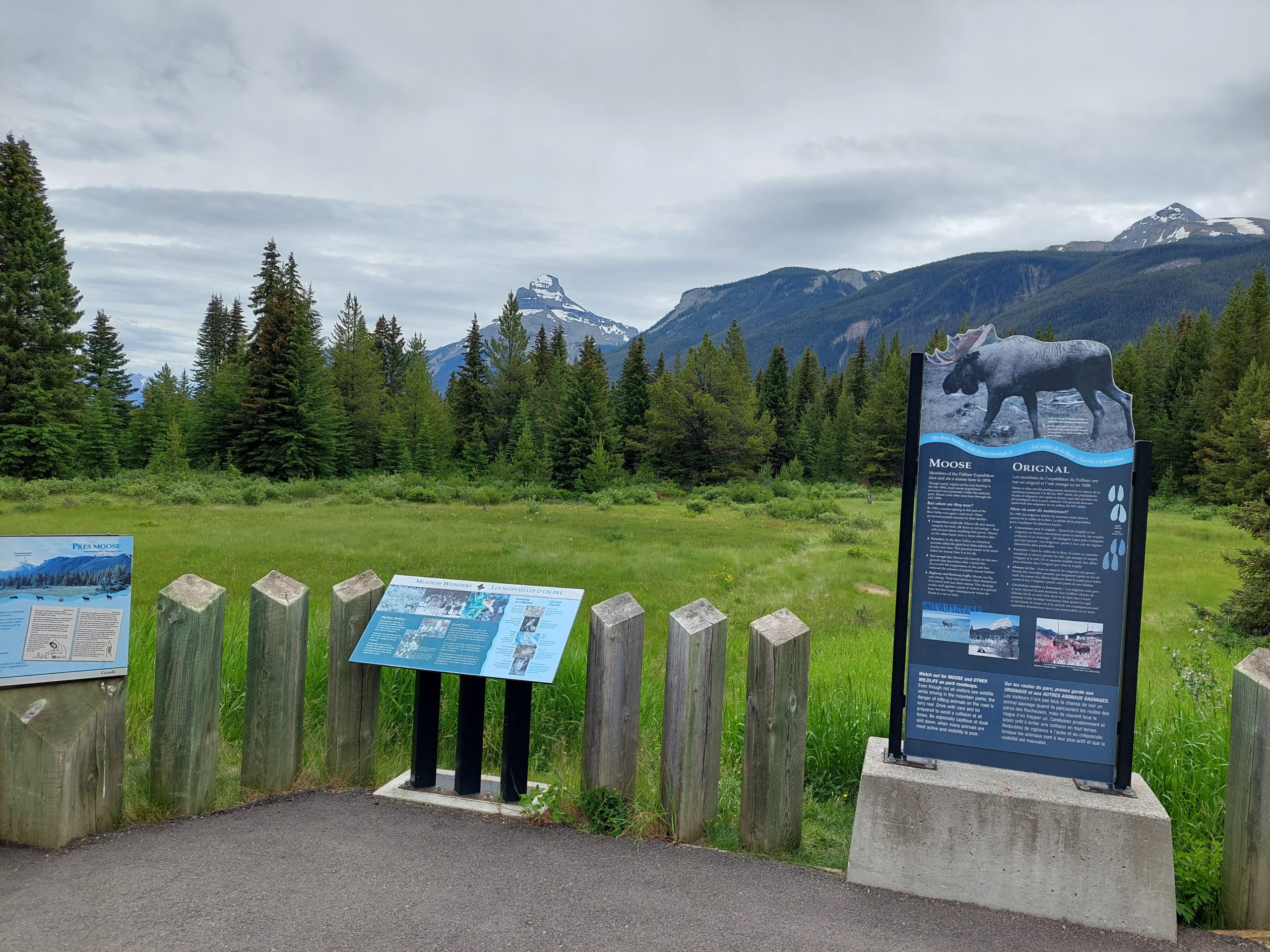
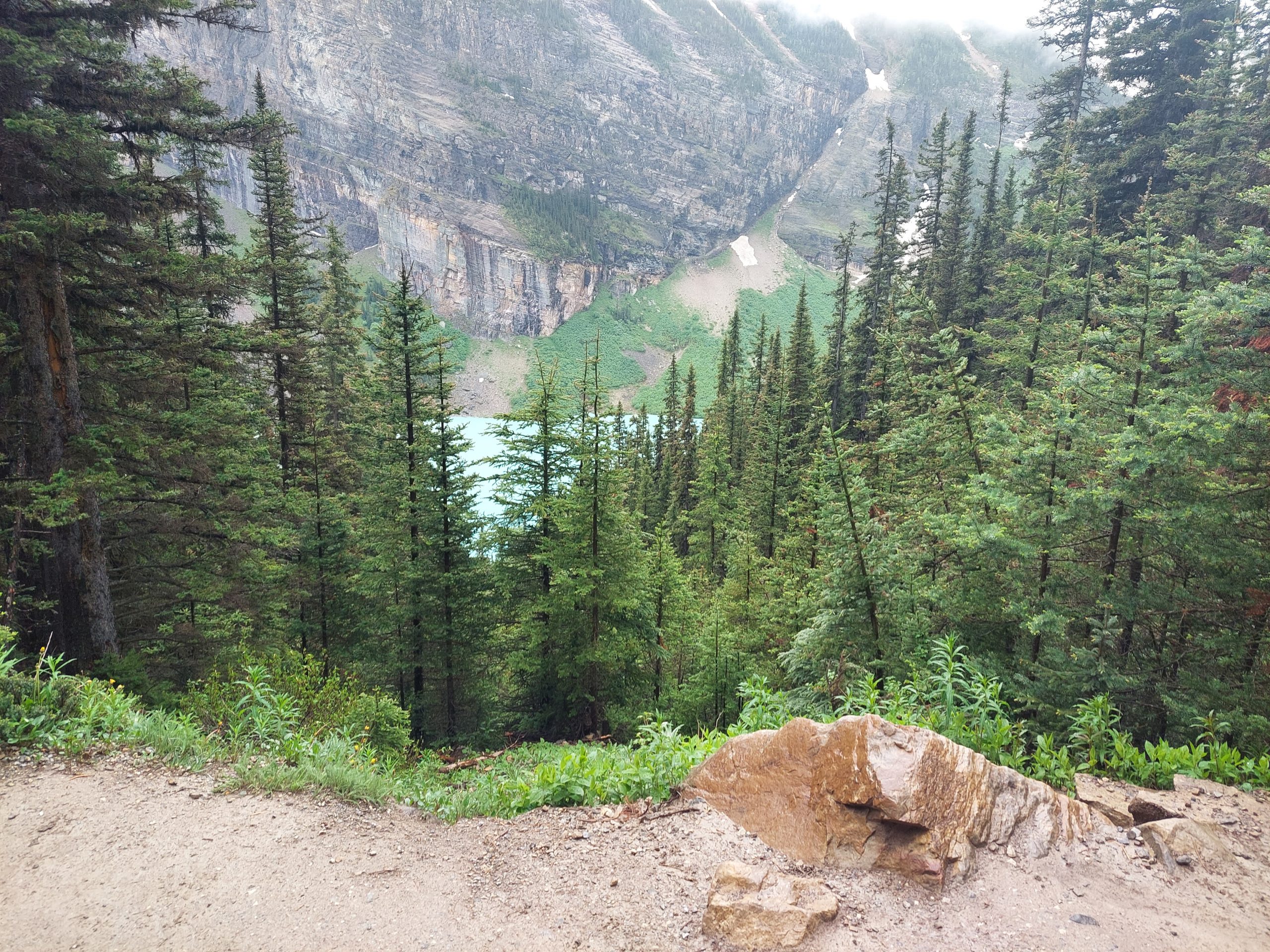
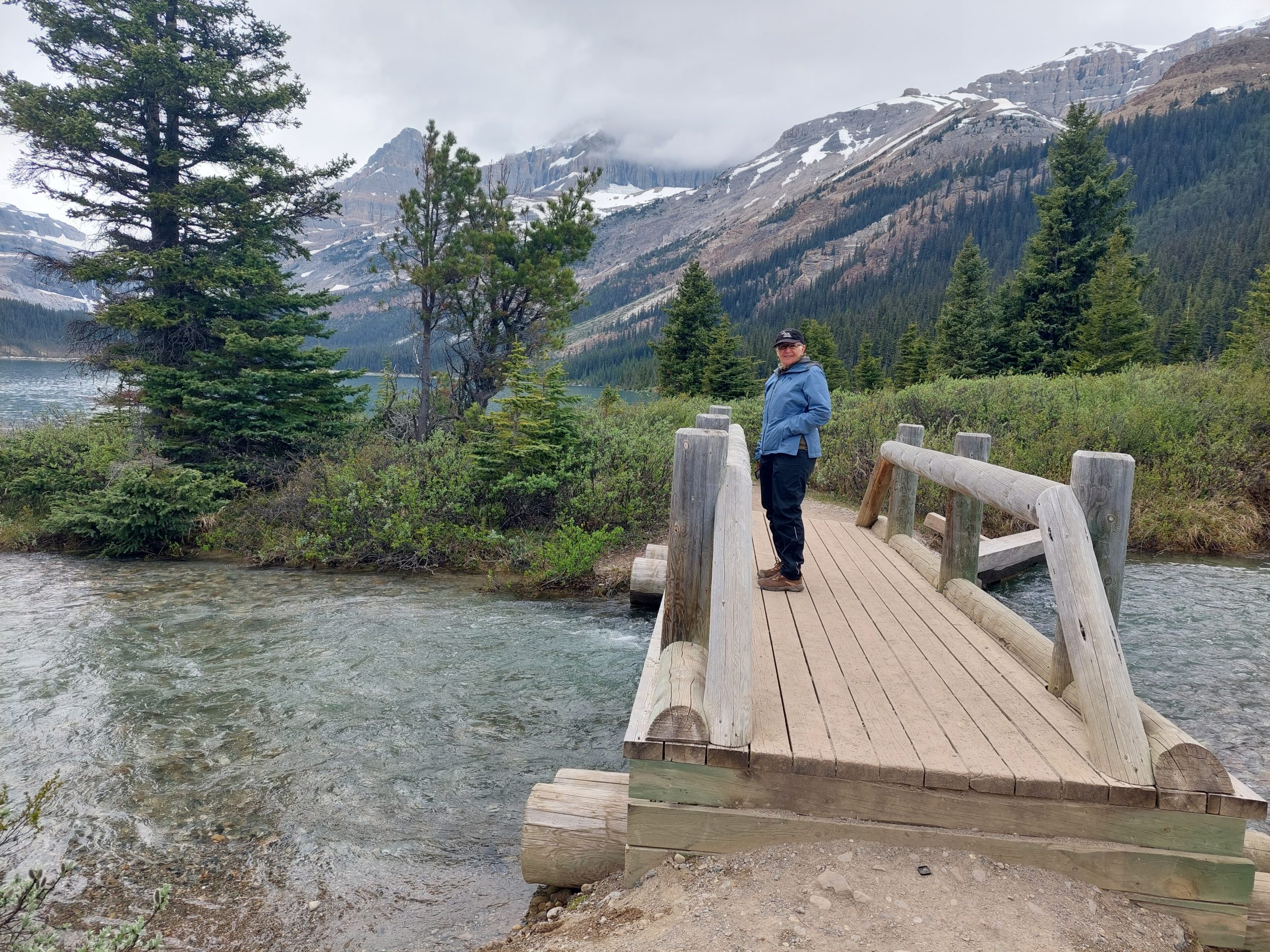
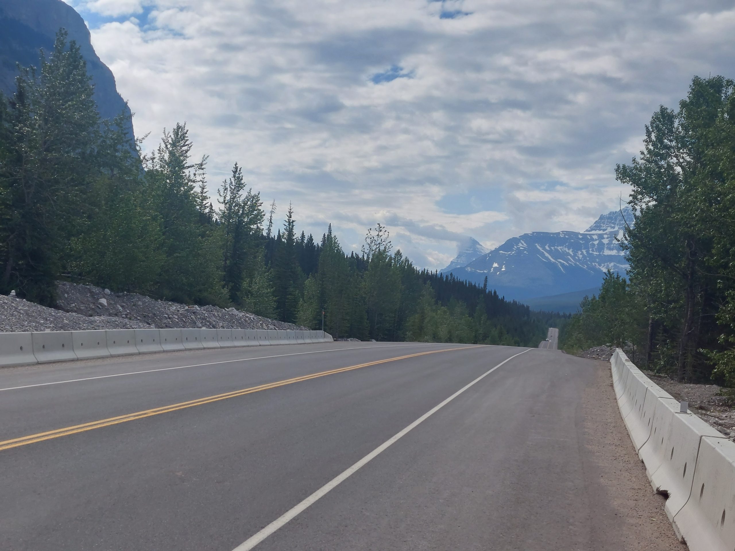
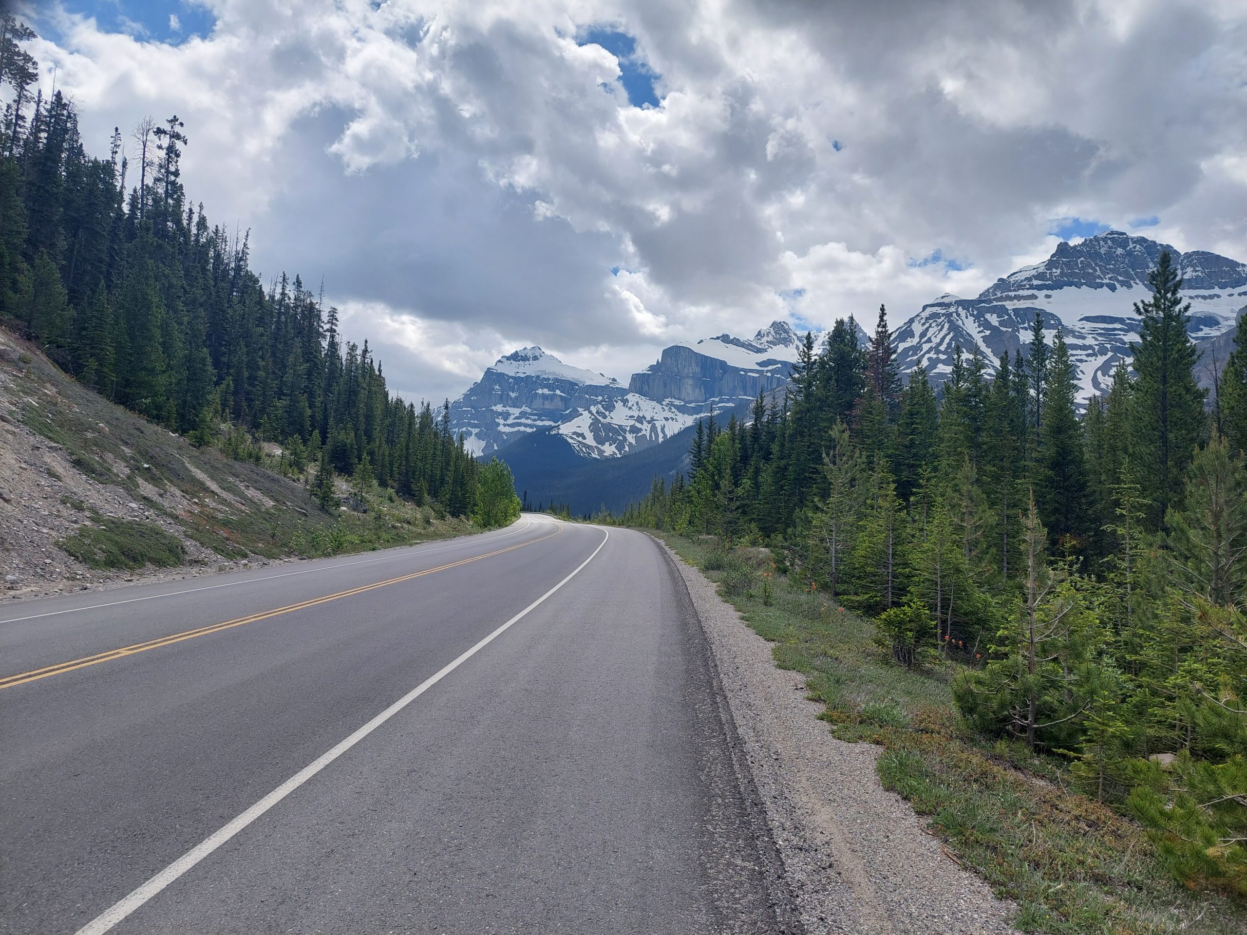
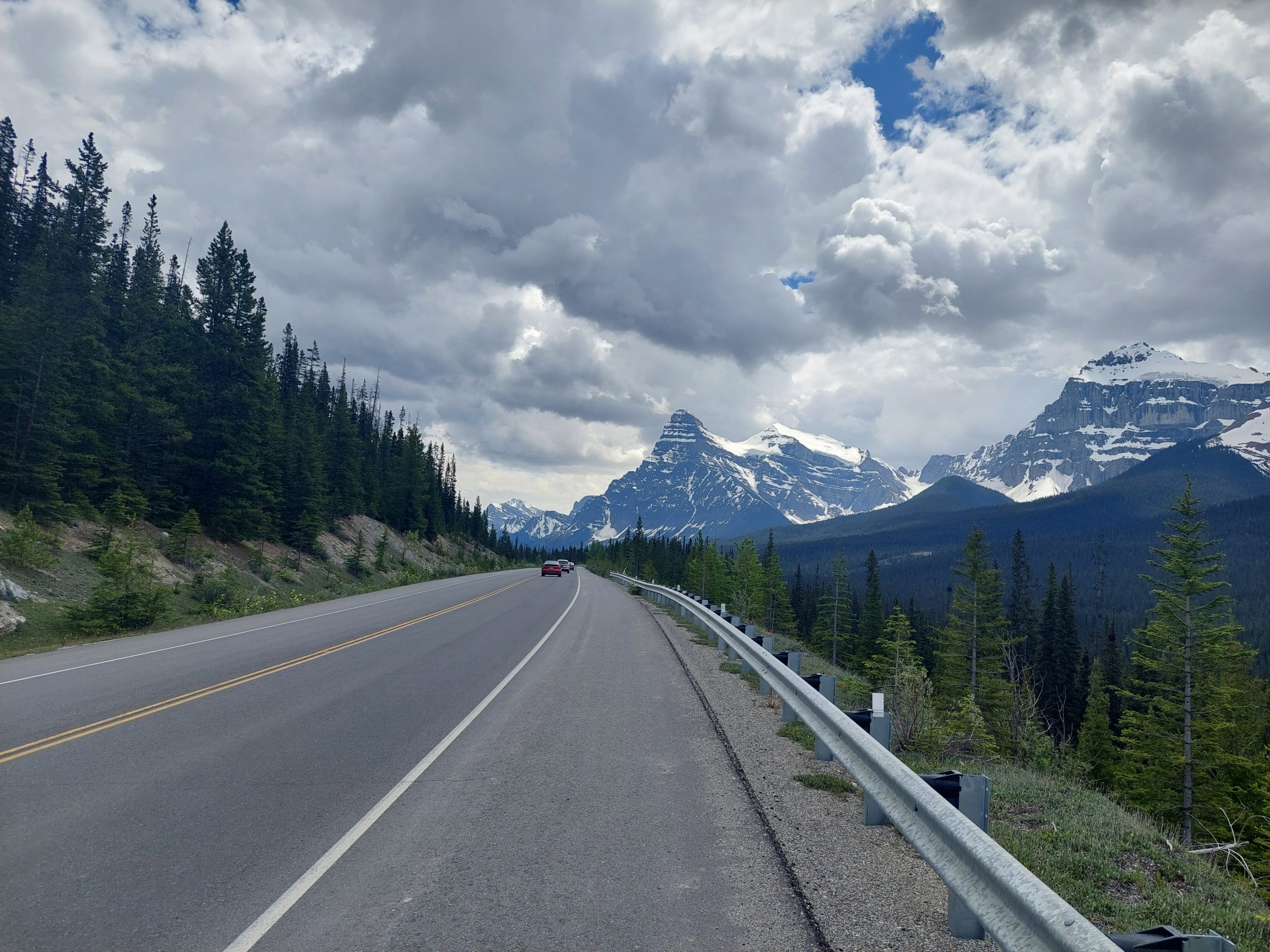
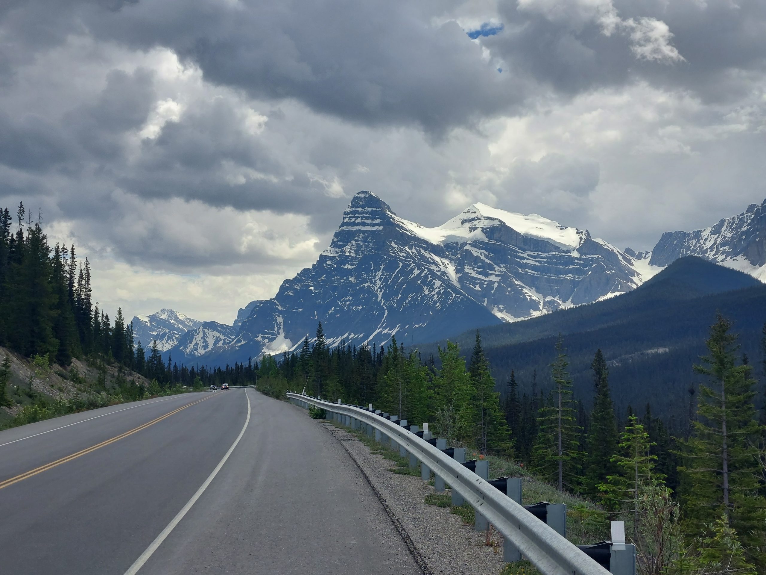
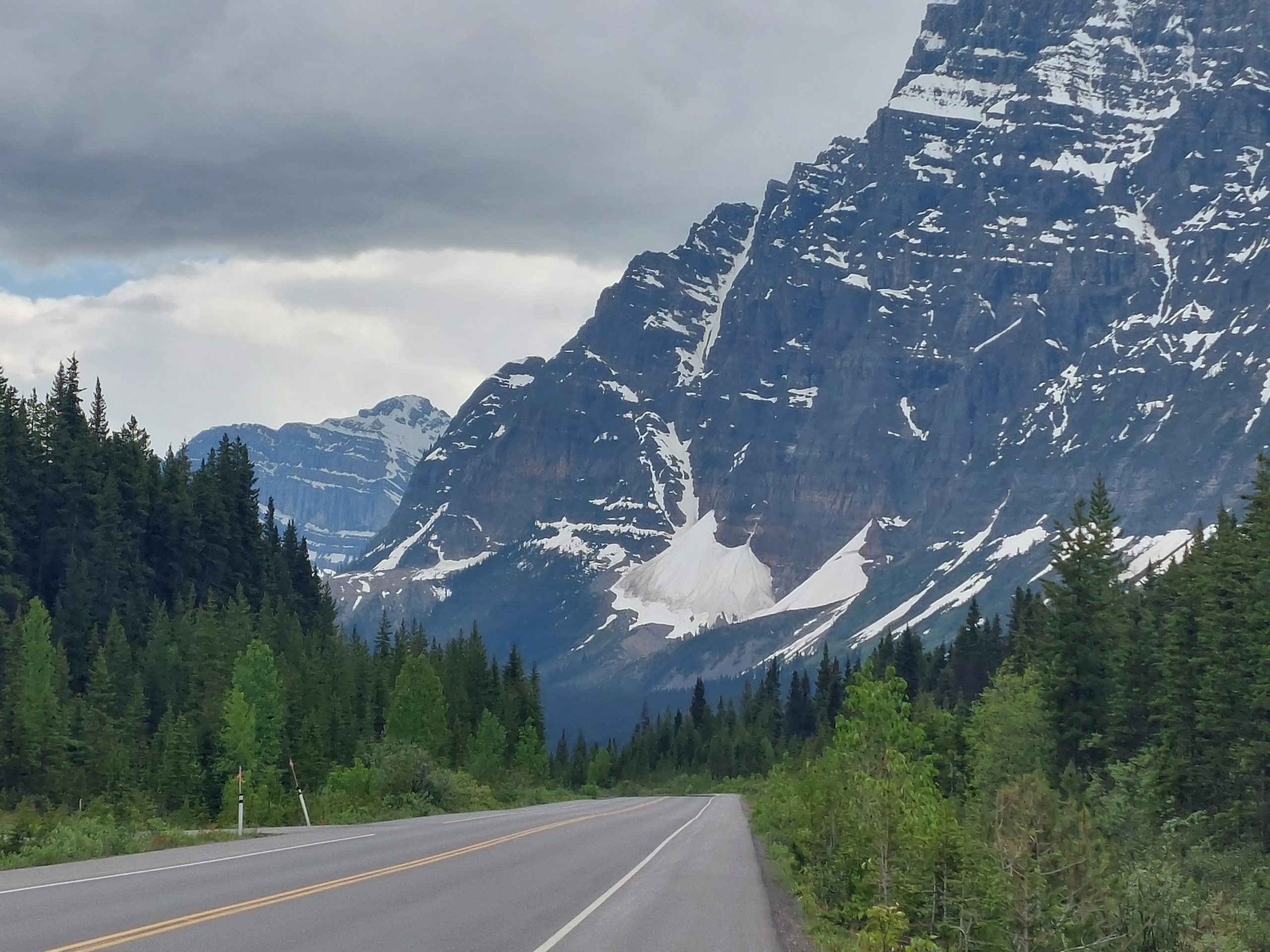
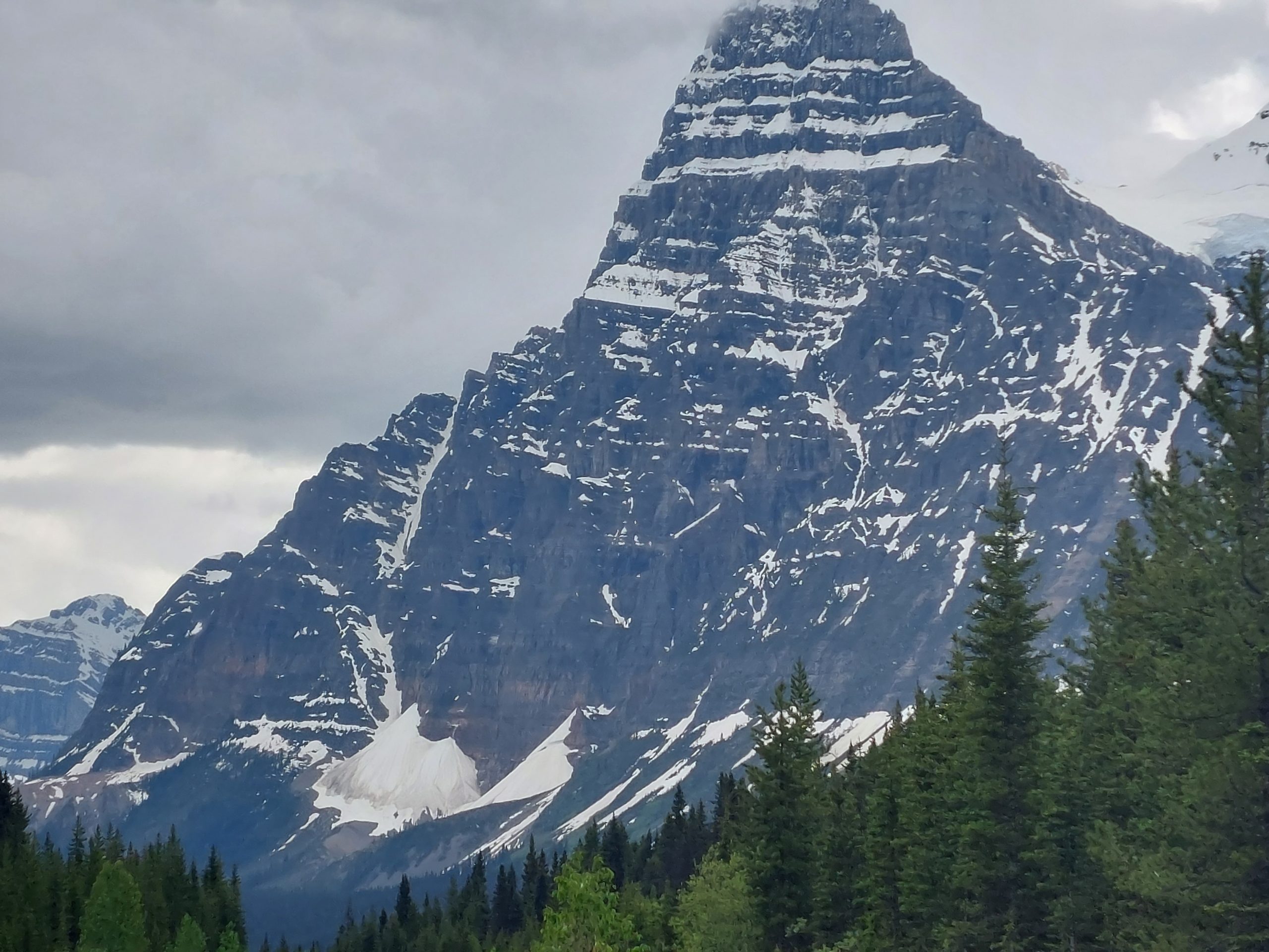
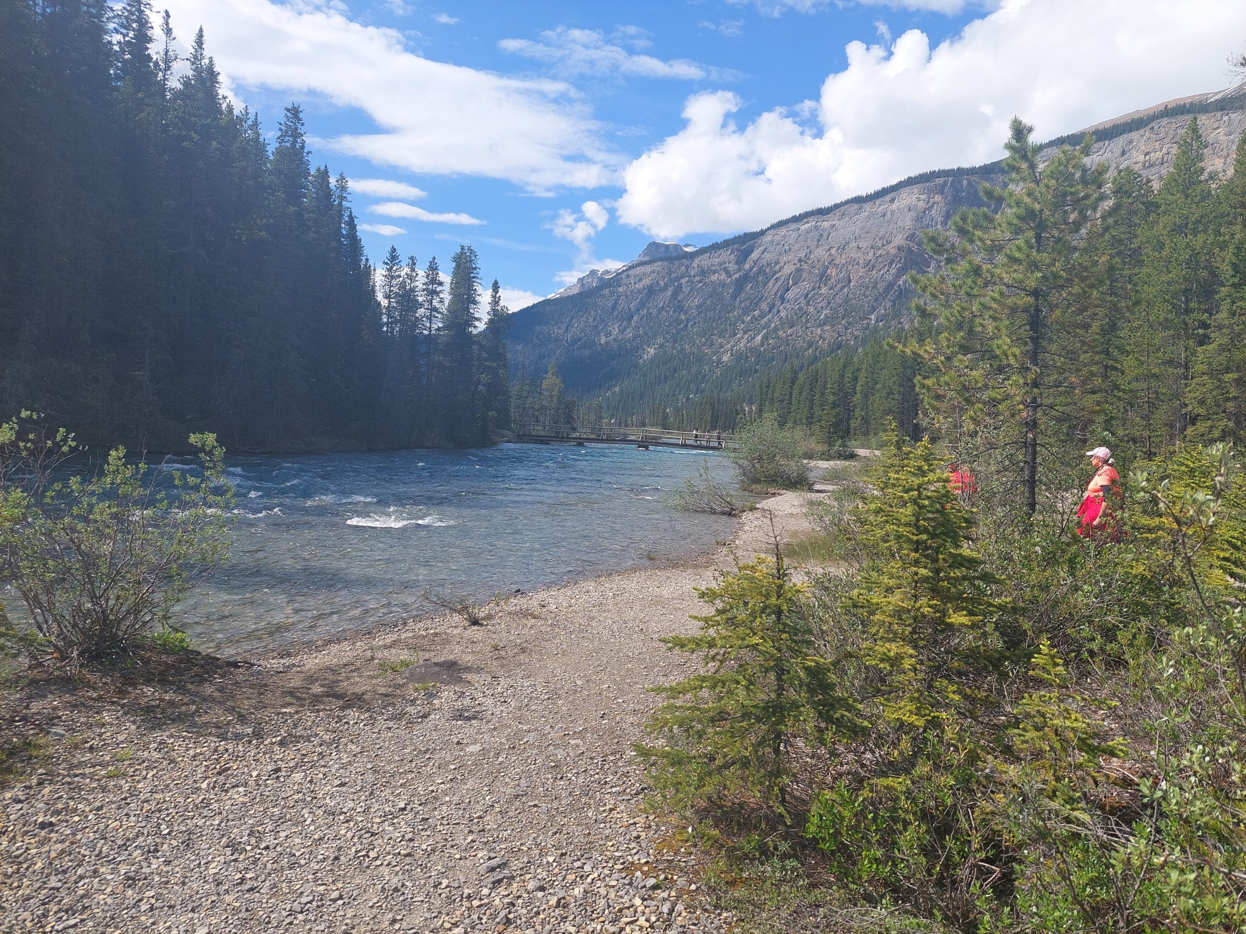
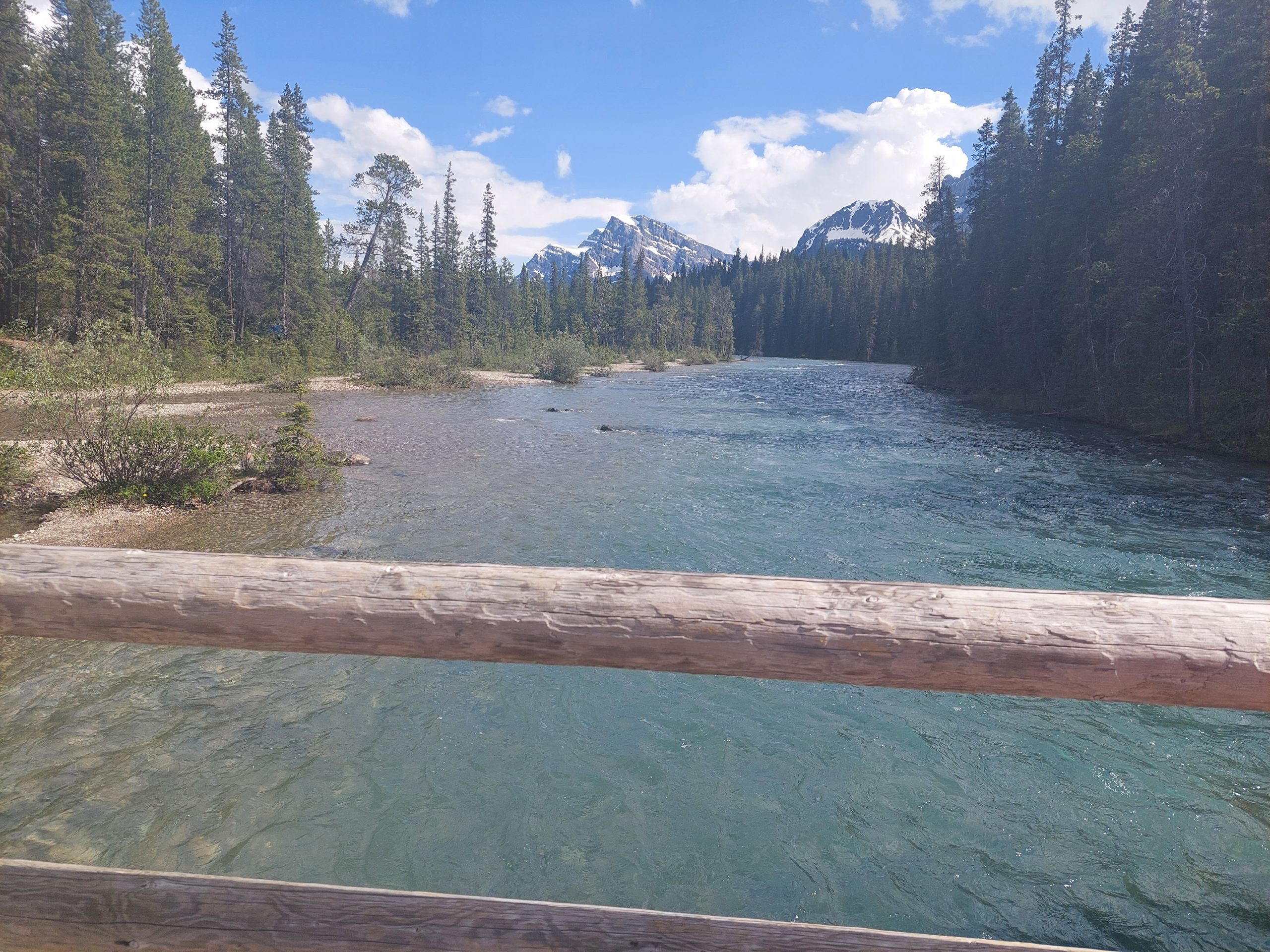
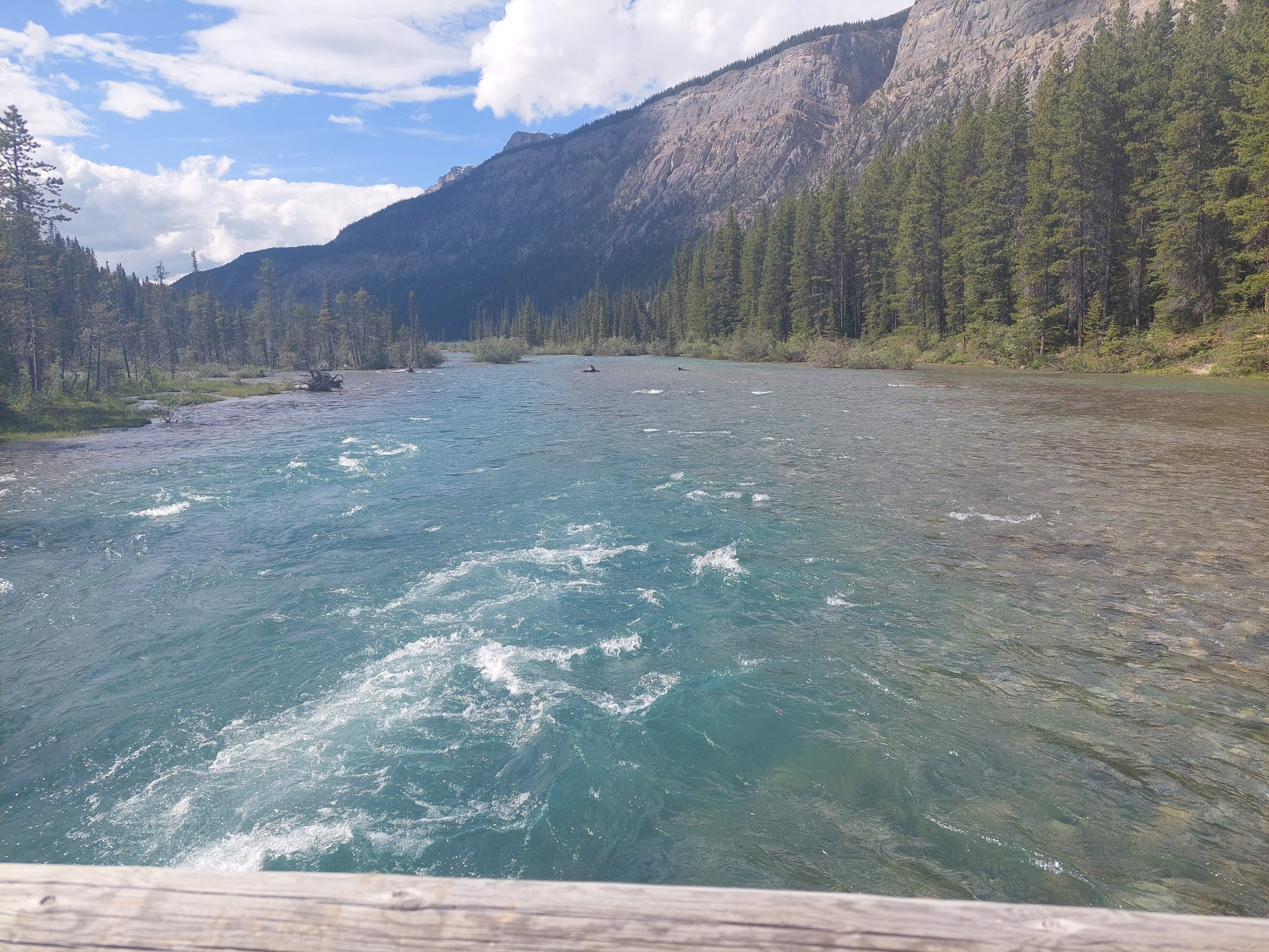
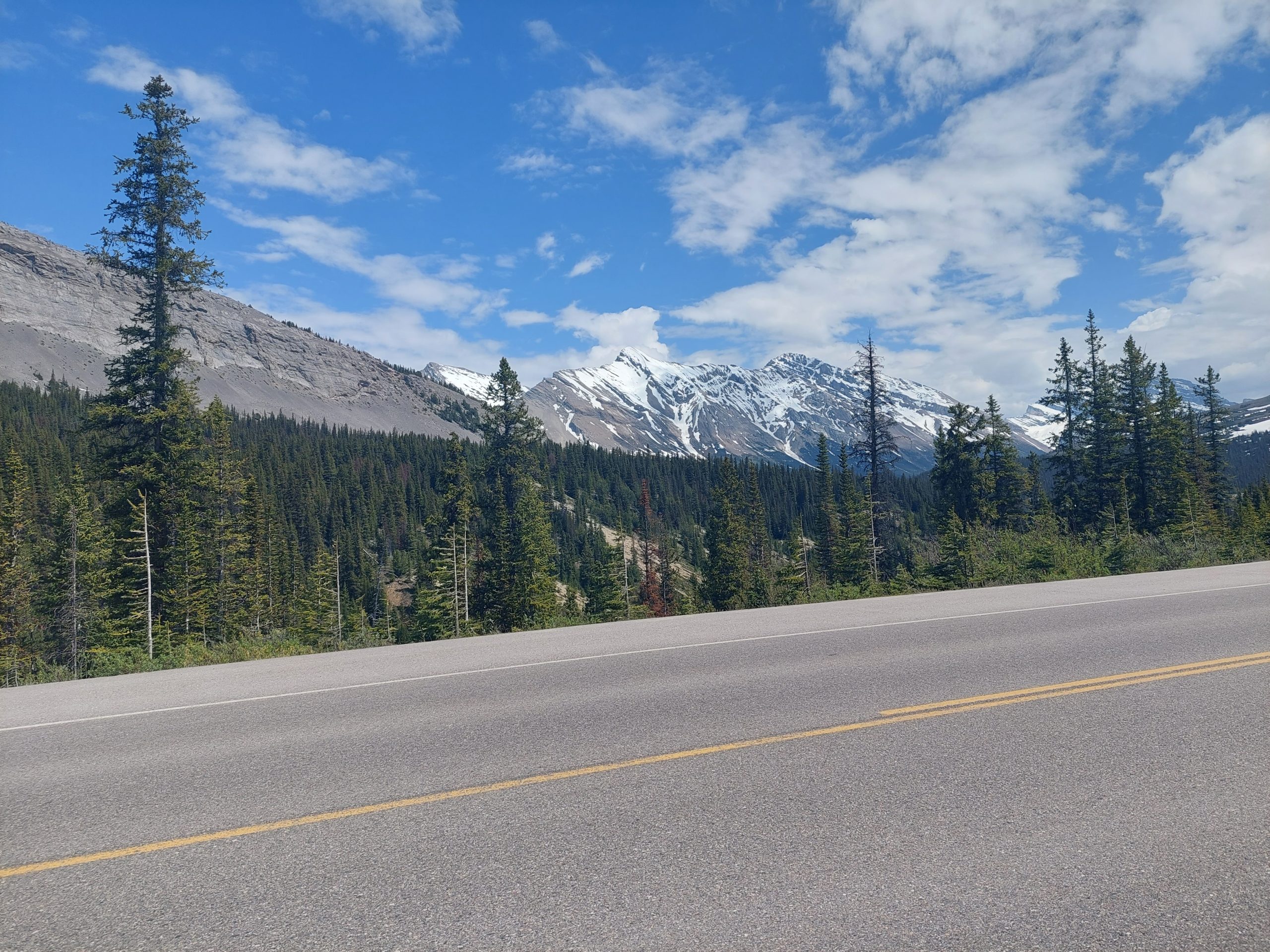
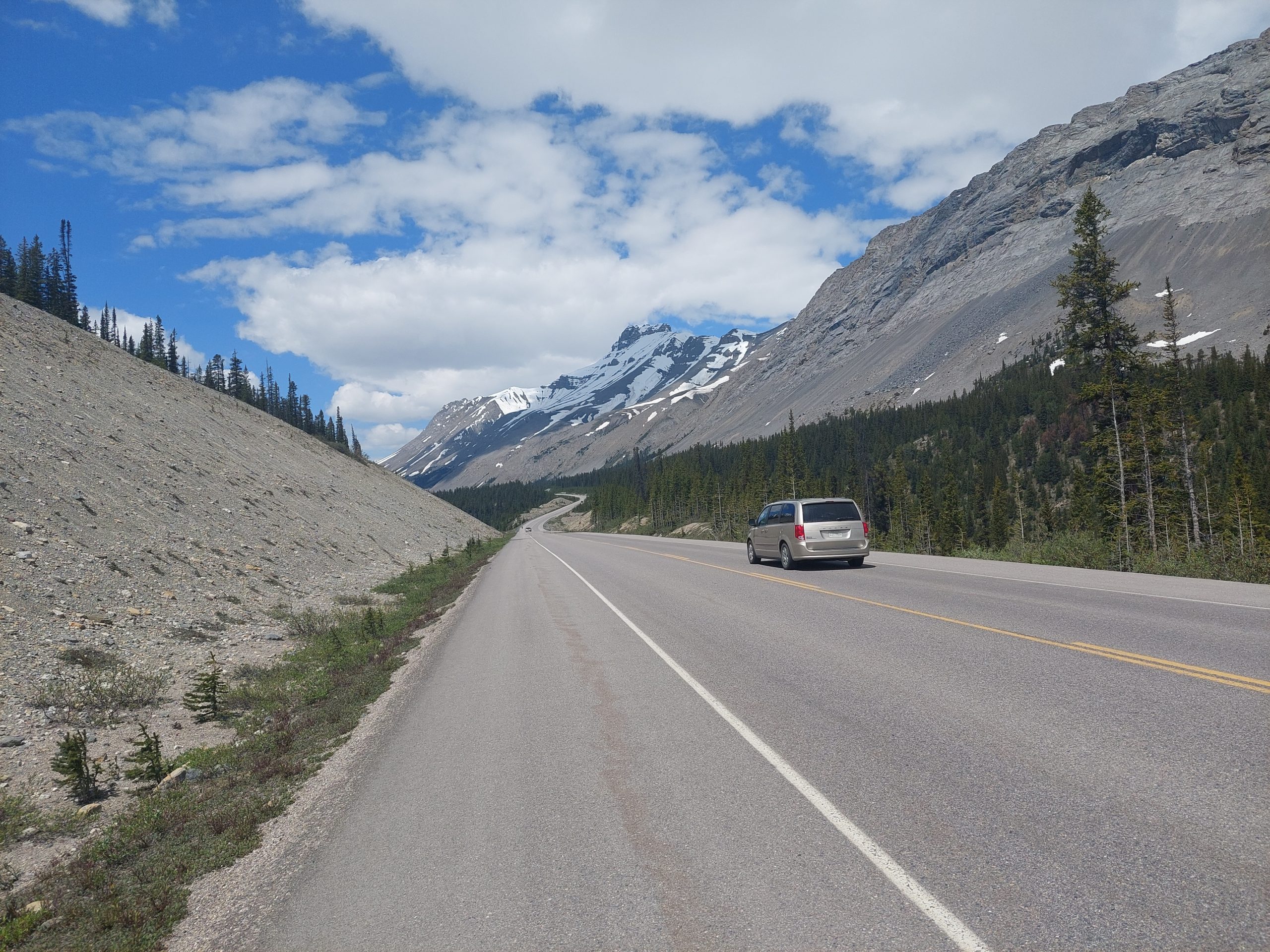
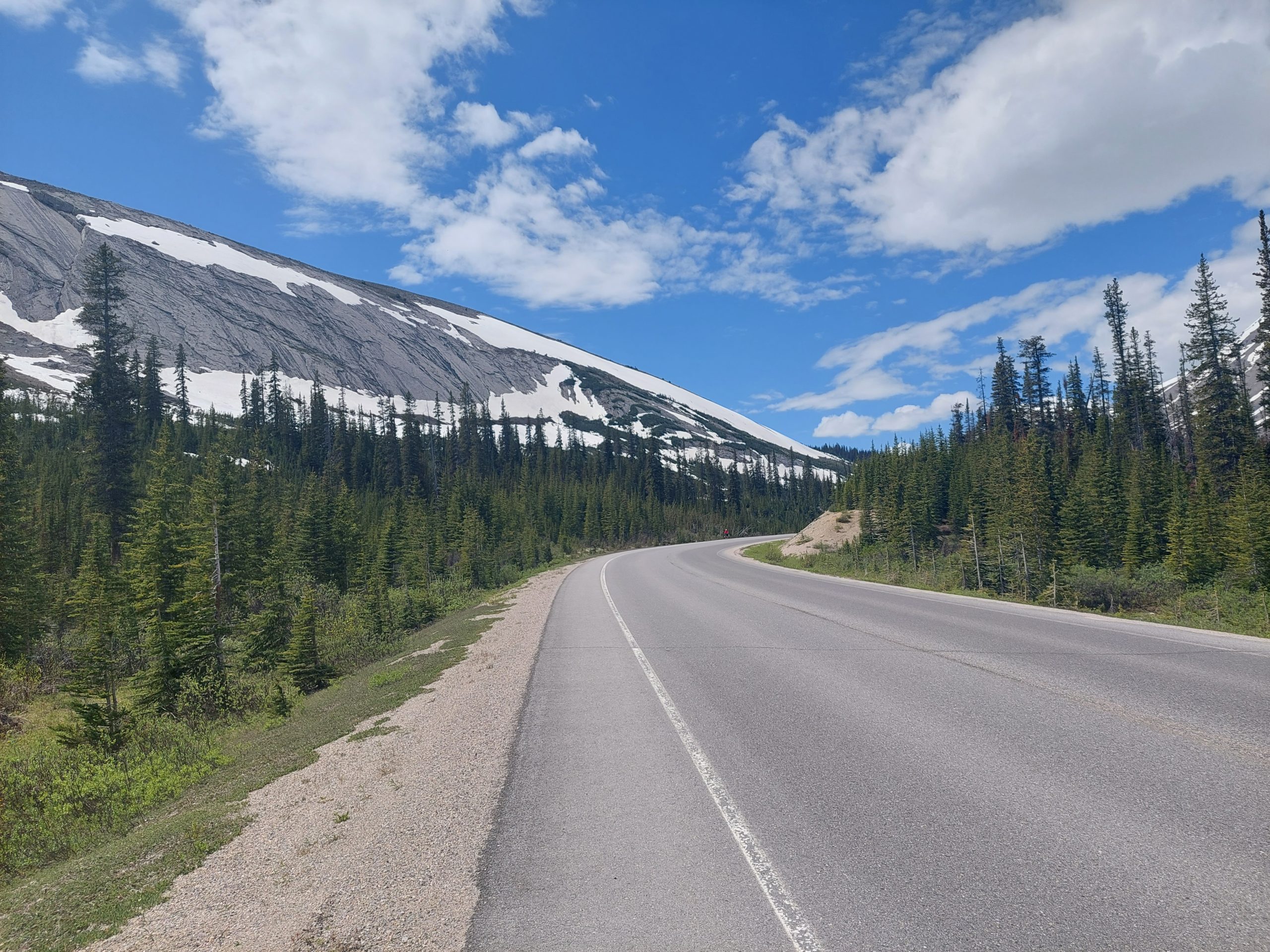
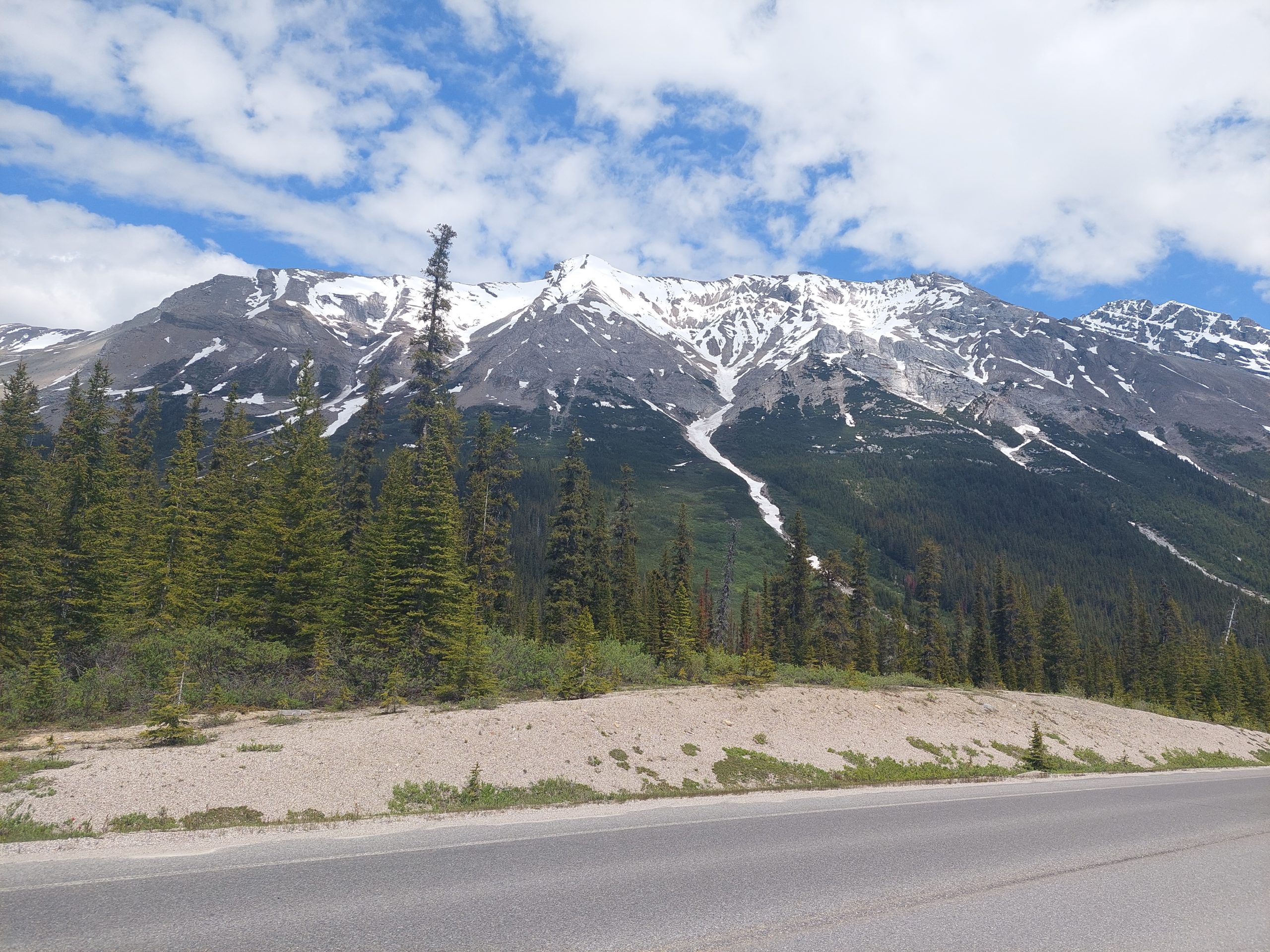
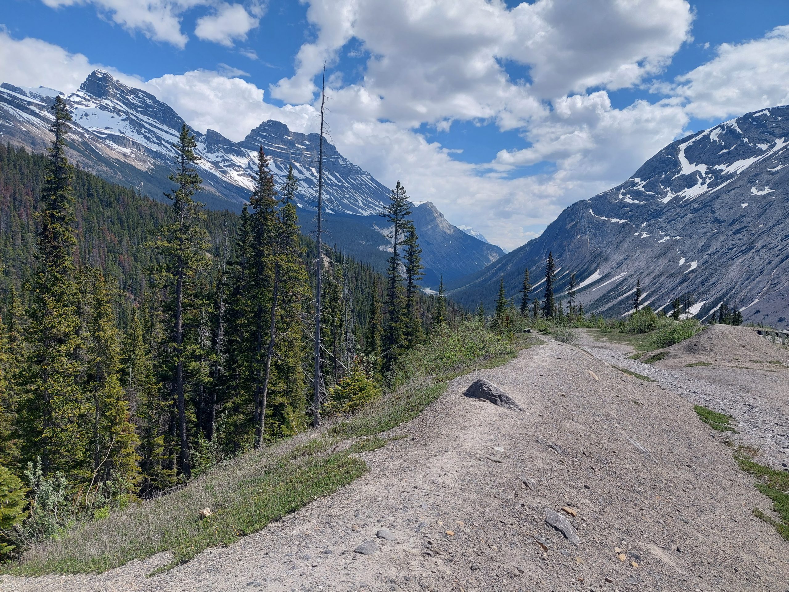
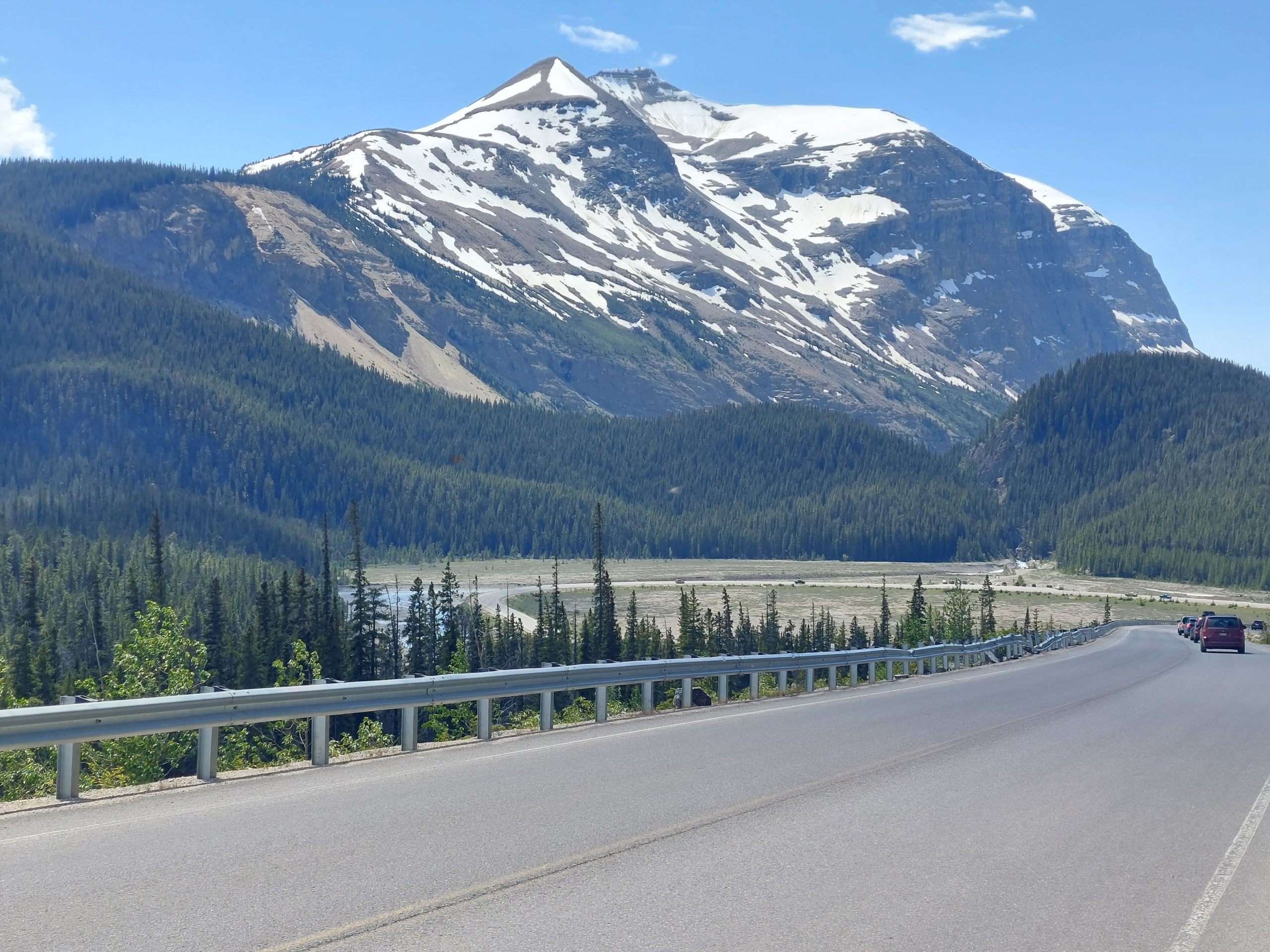
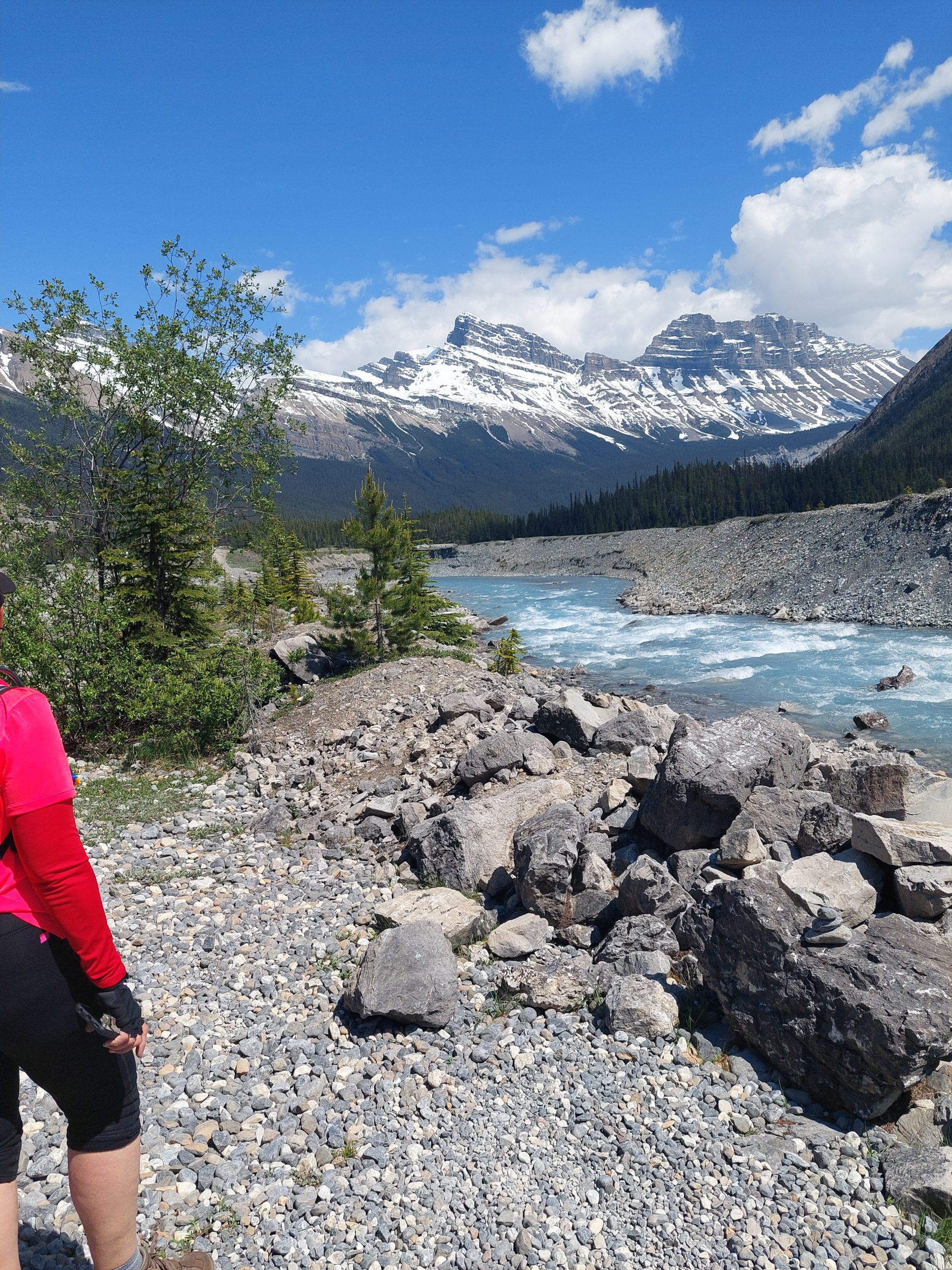
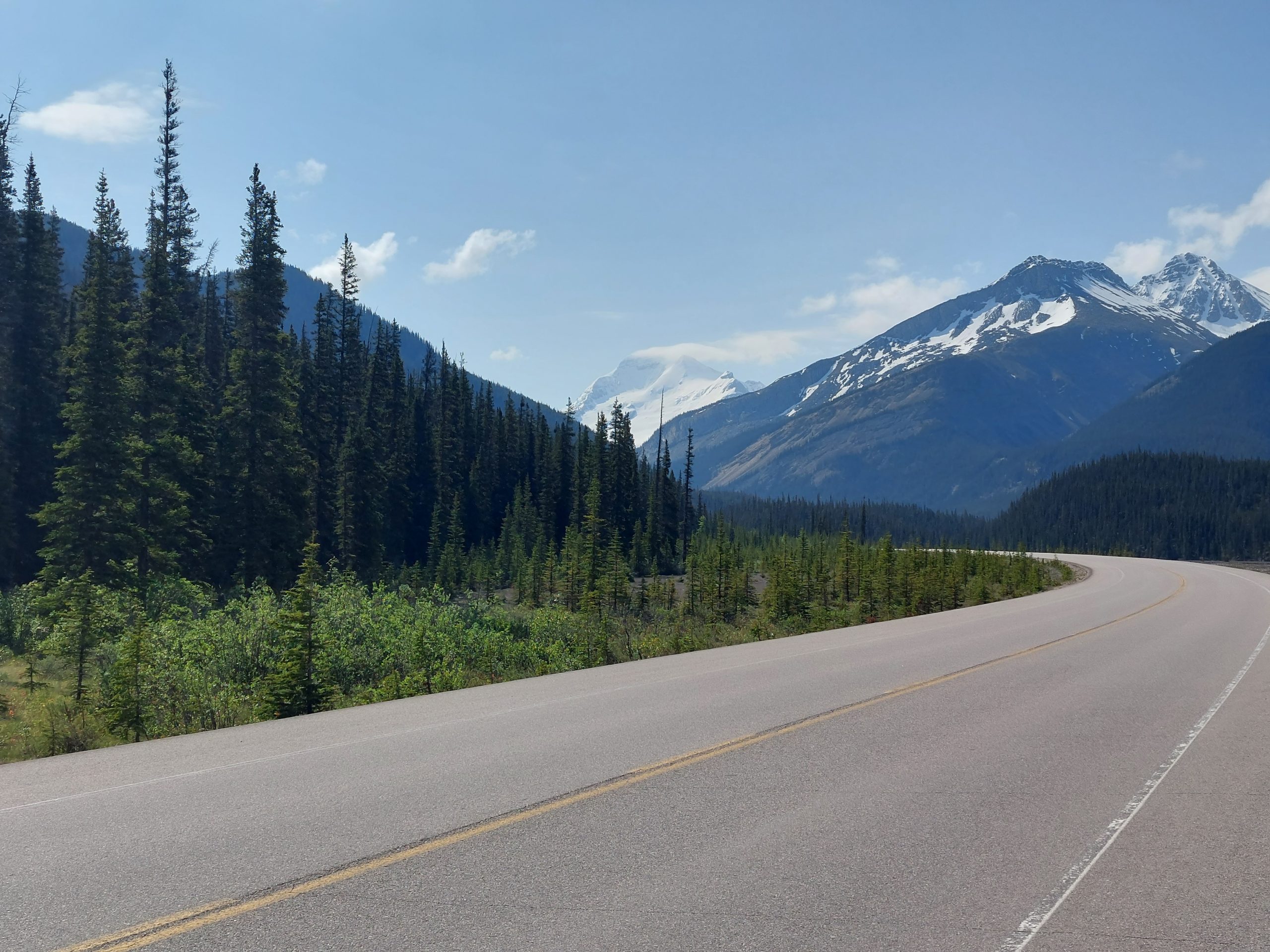
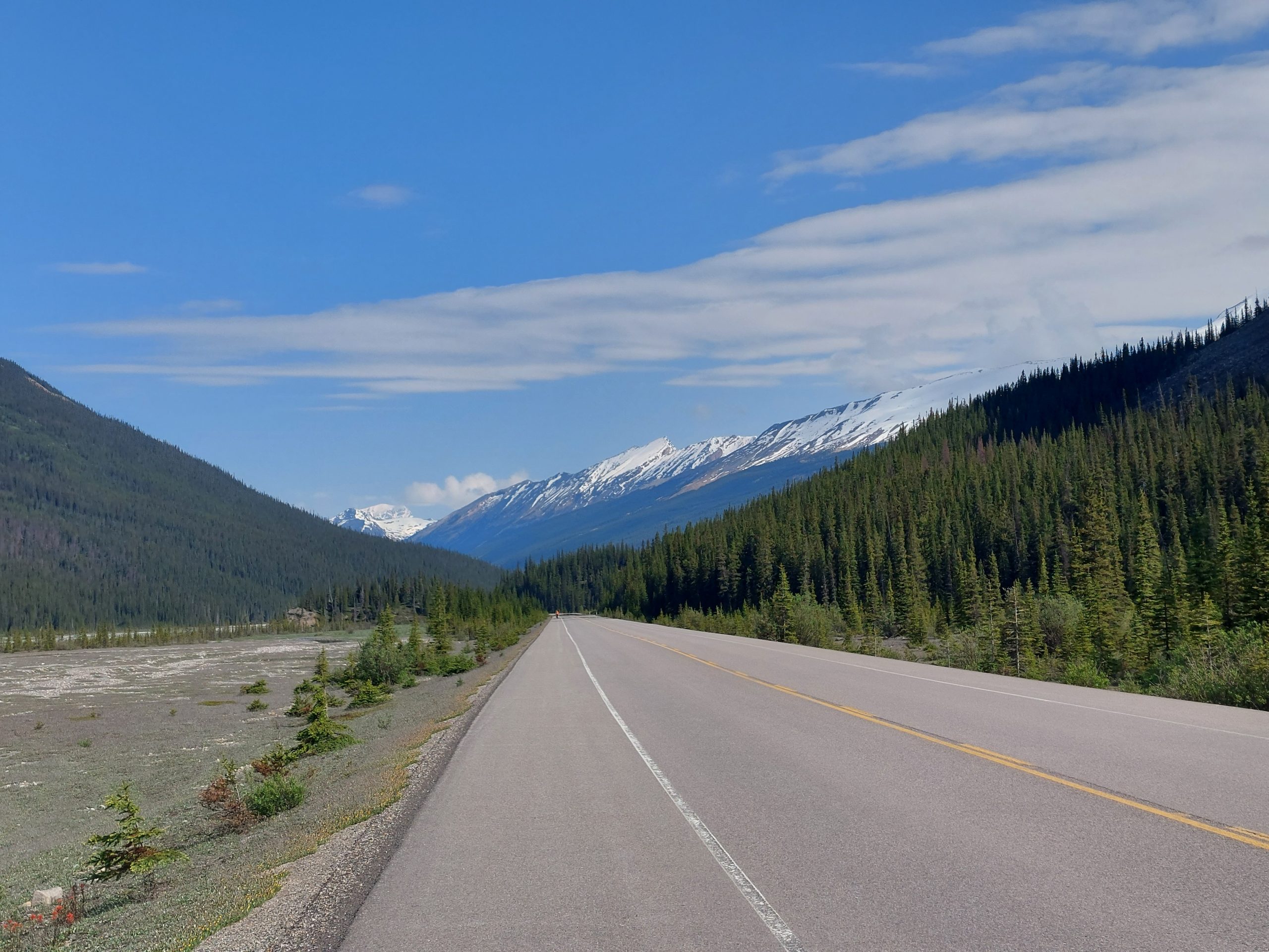
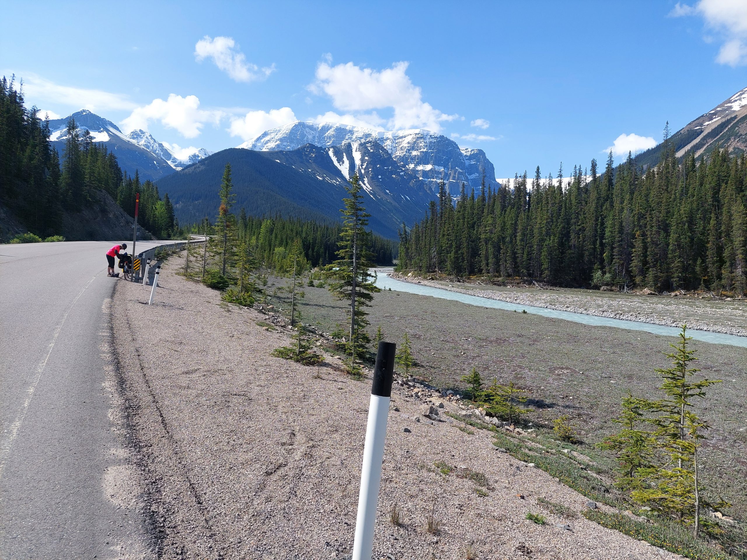
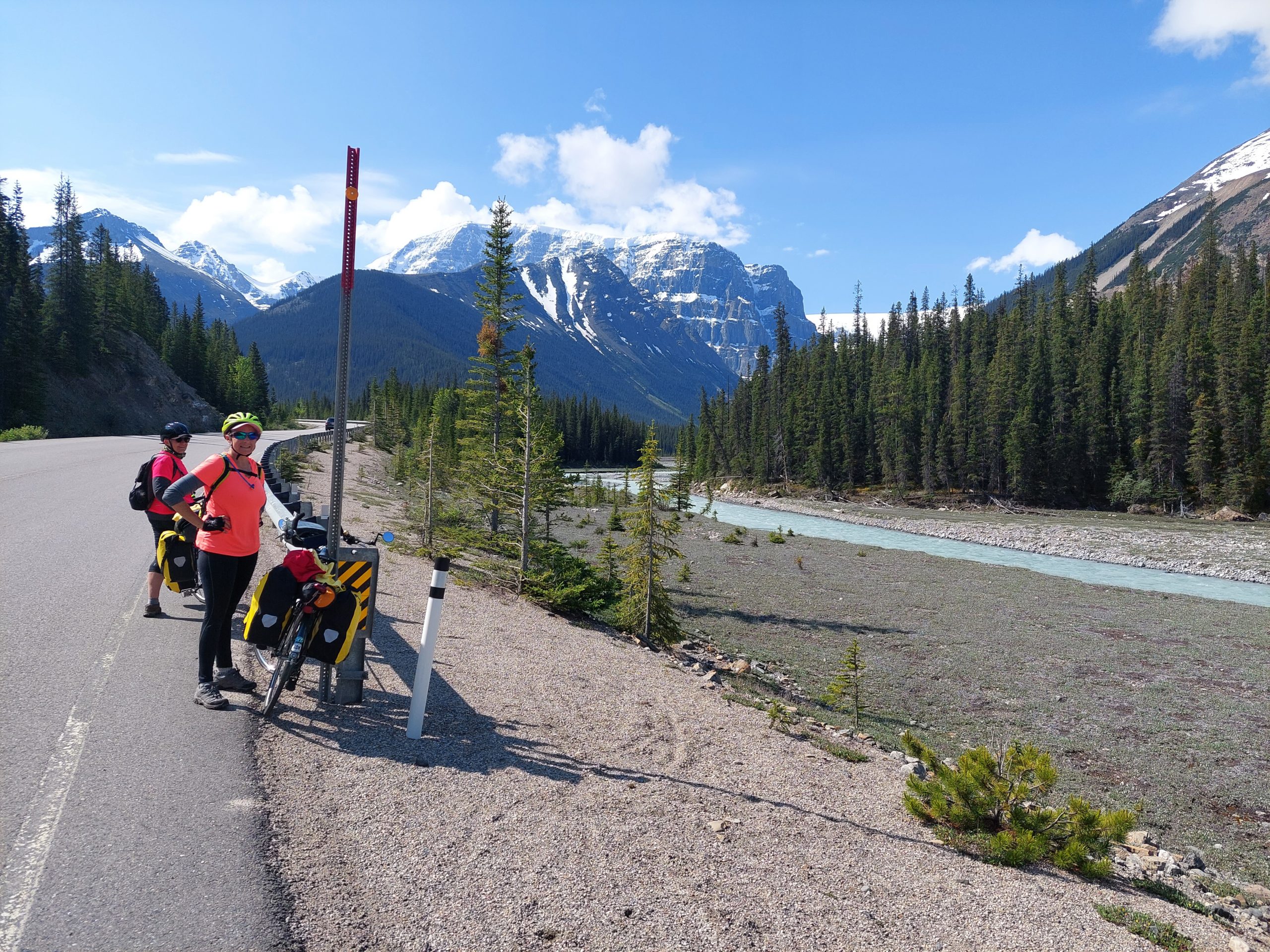
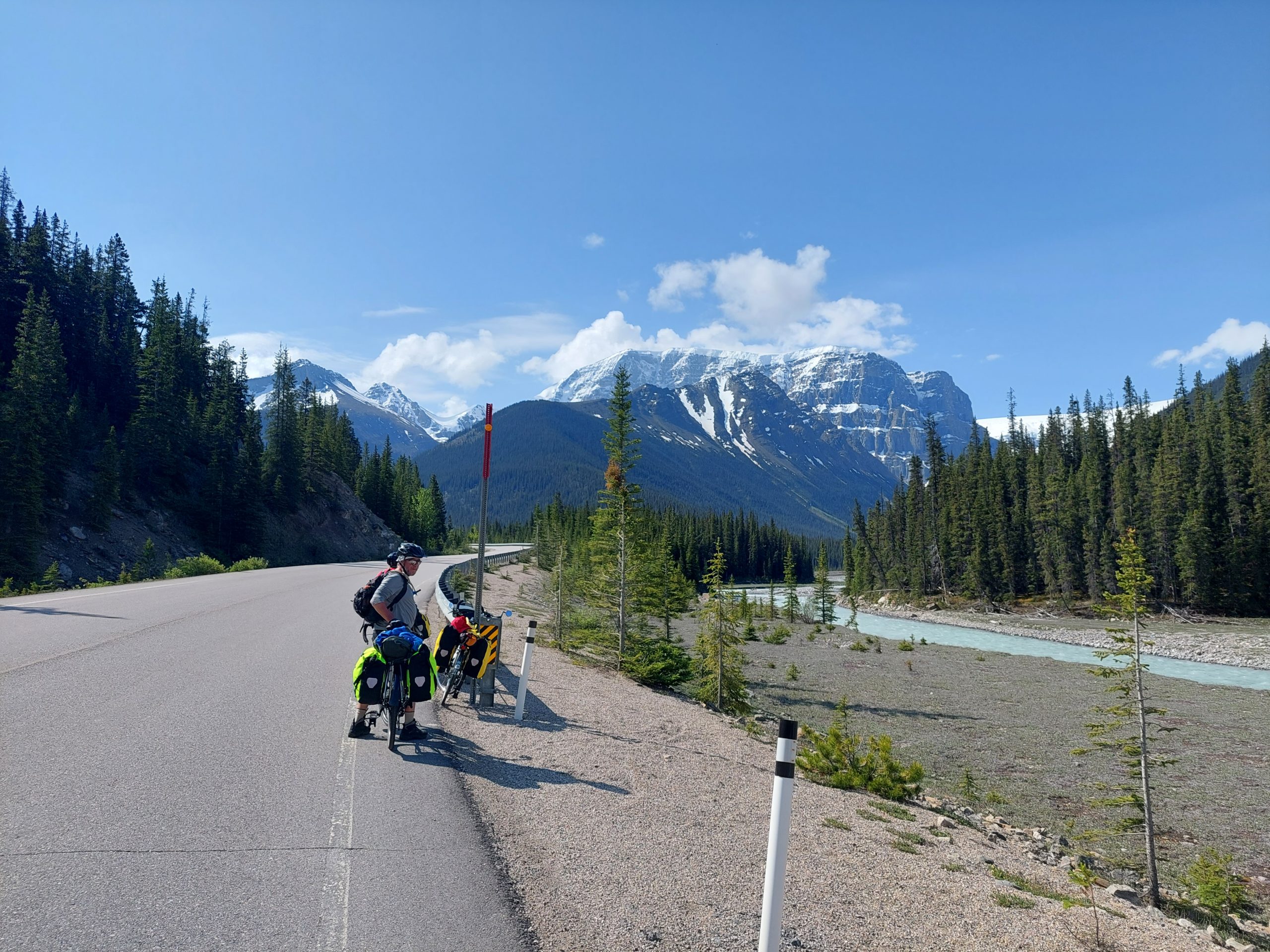
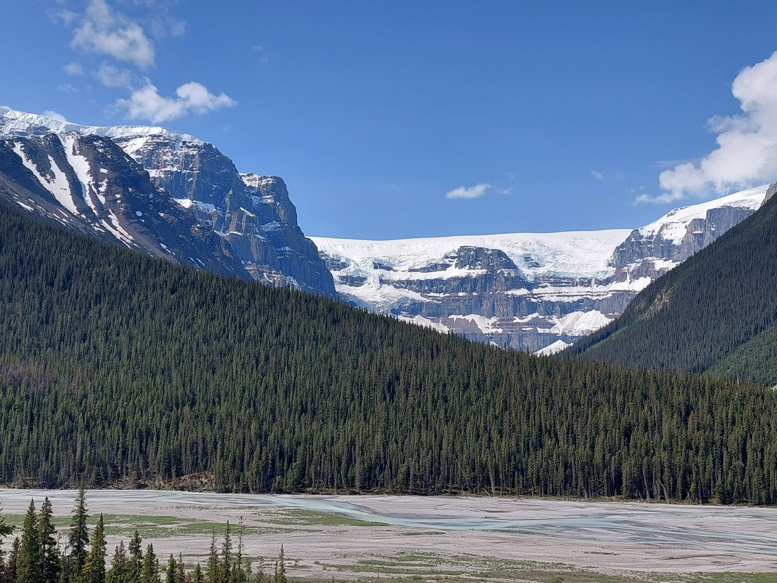
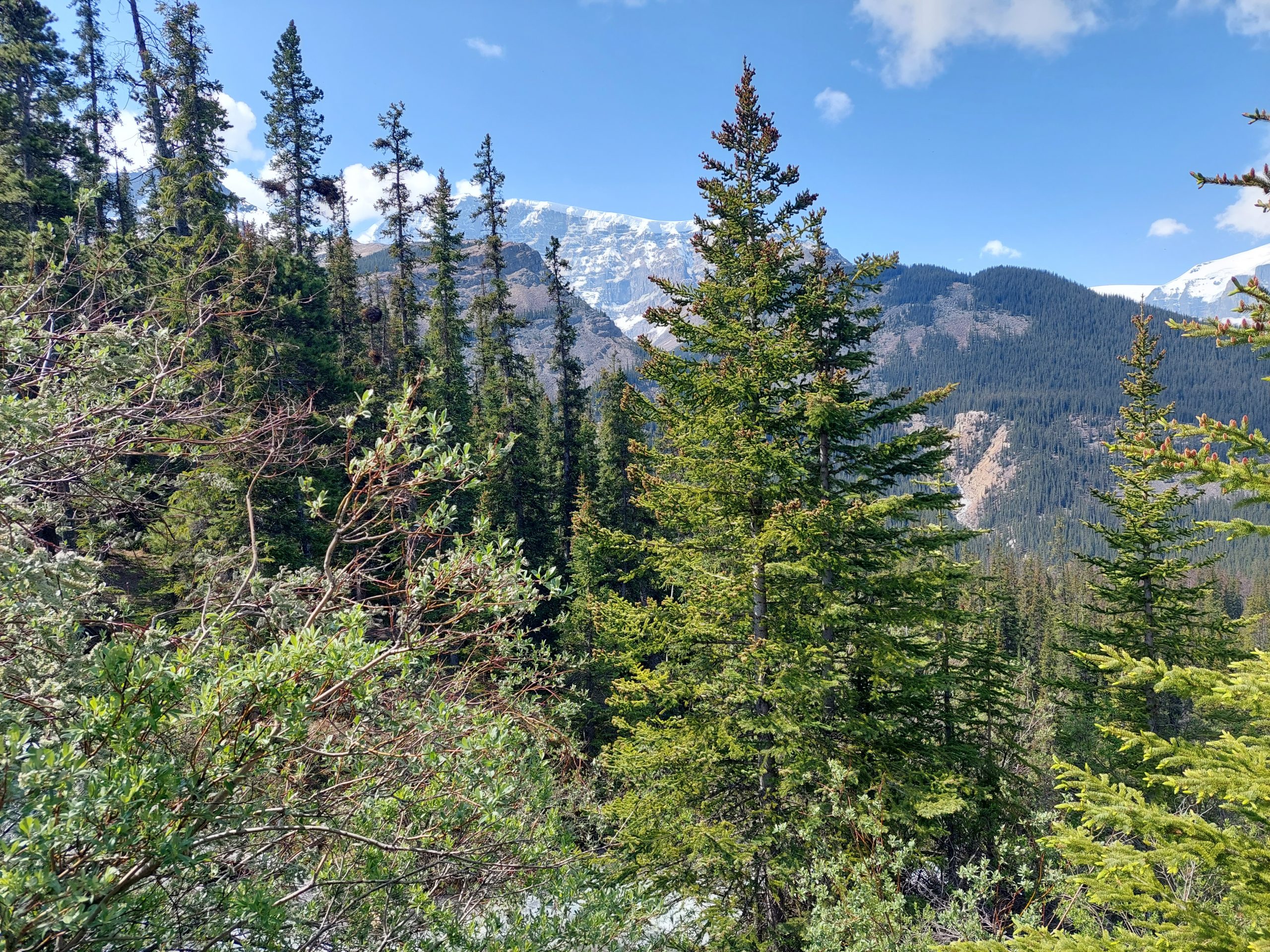
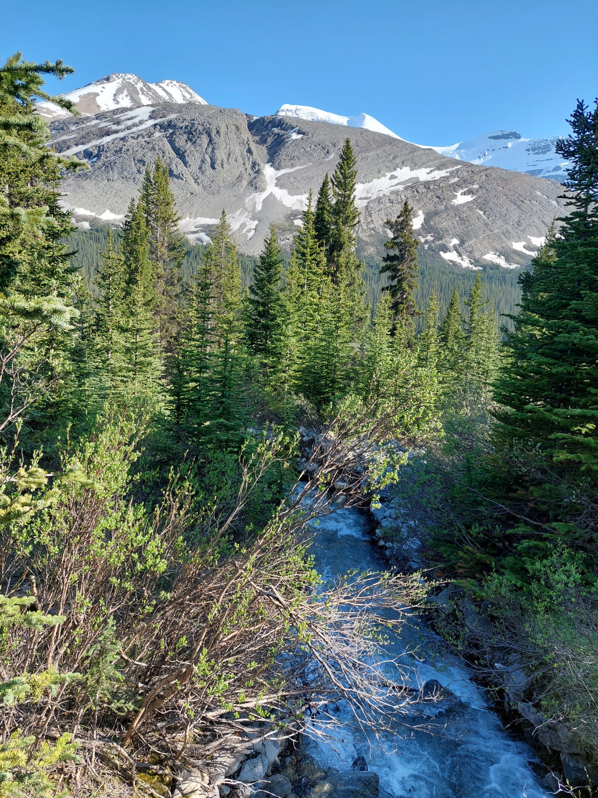
This would be our longest ride day. We would go just about 40 miles (luckily, they were easy miles) on the Bow Valley Parkway, from the hostel in Lake Louise to our campsite just outside Banff.
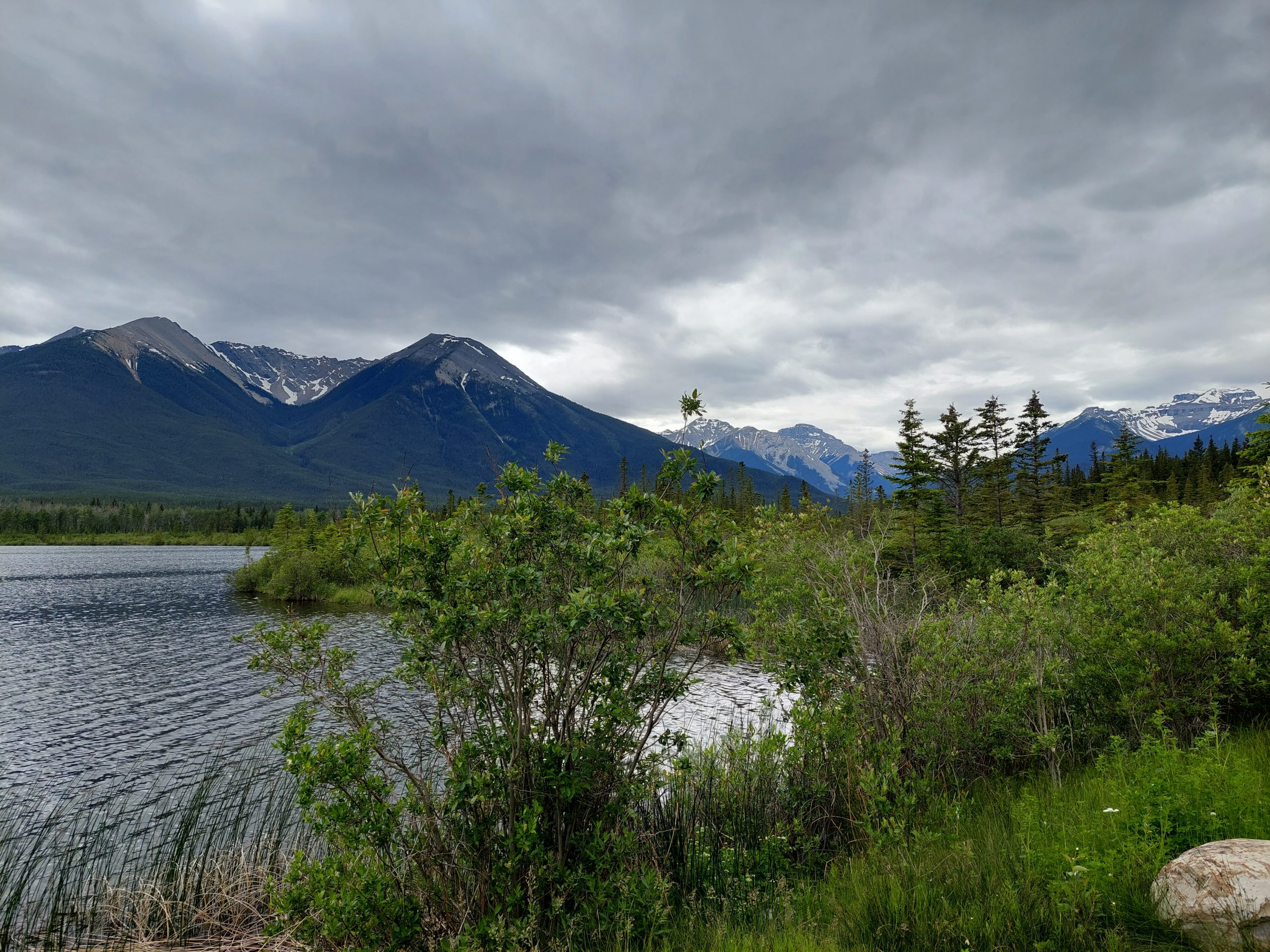
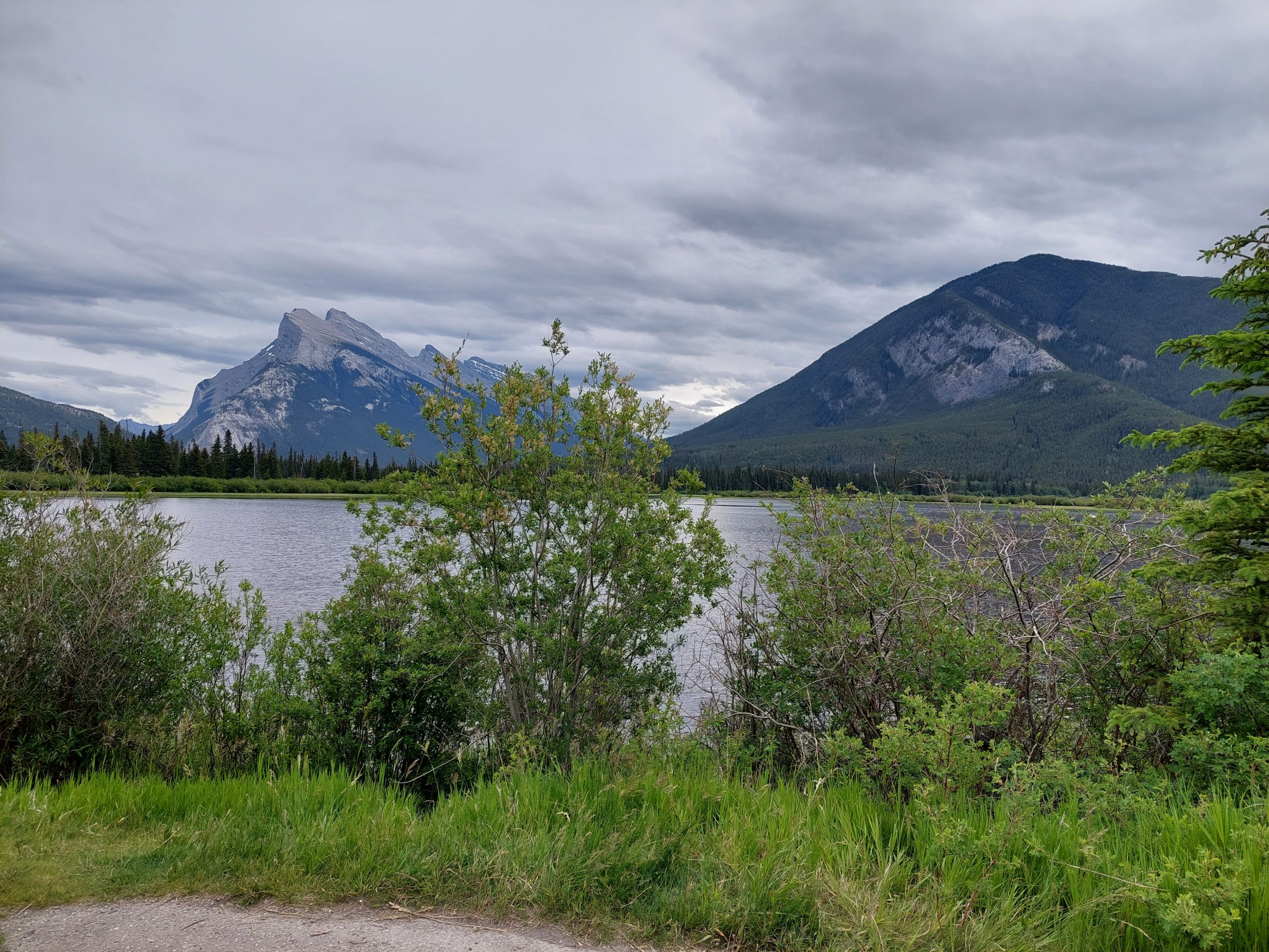
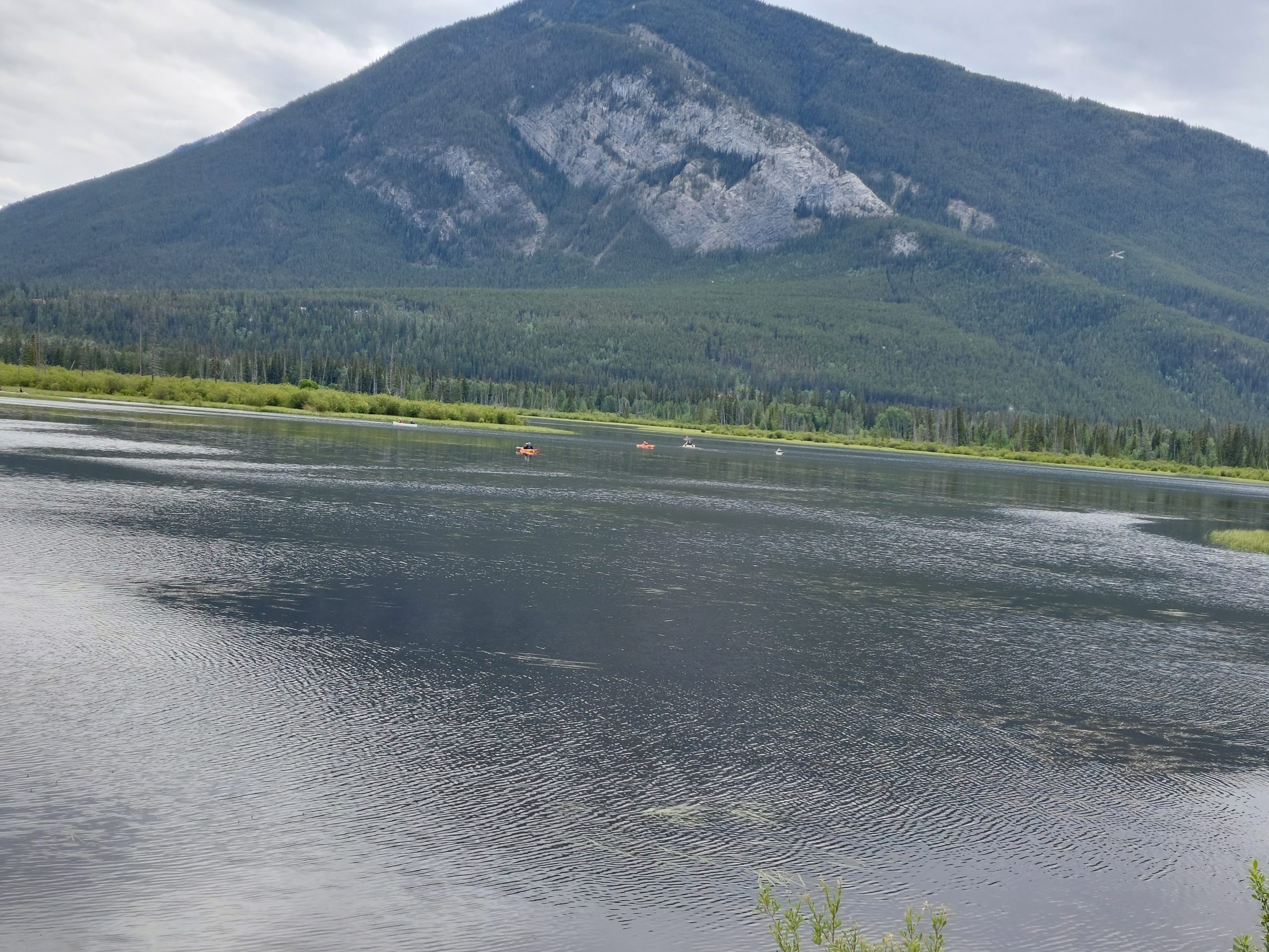
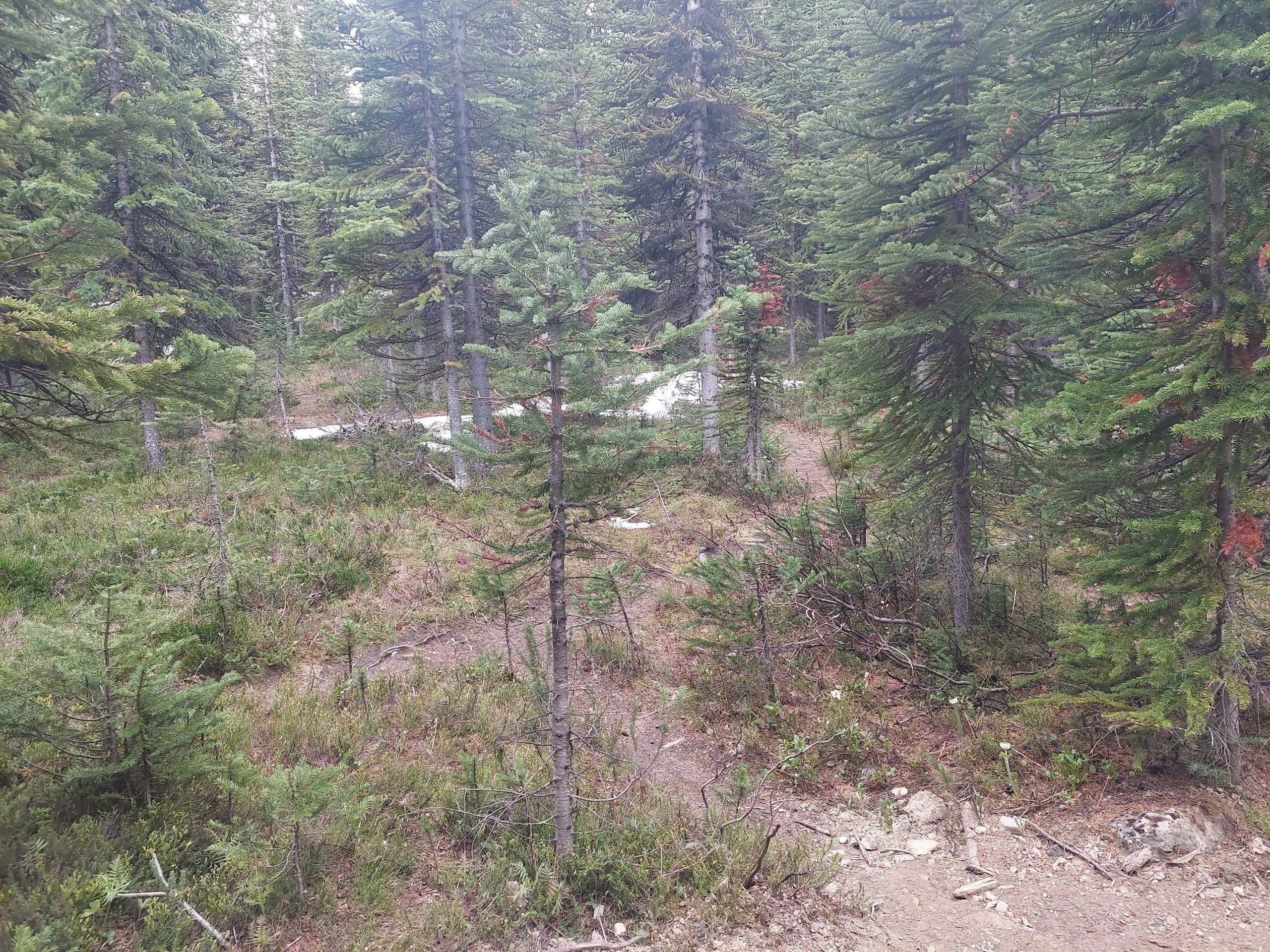
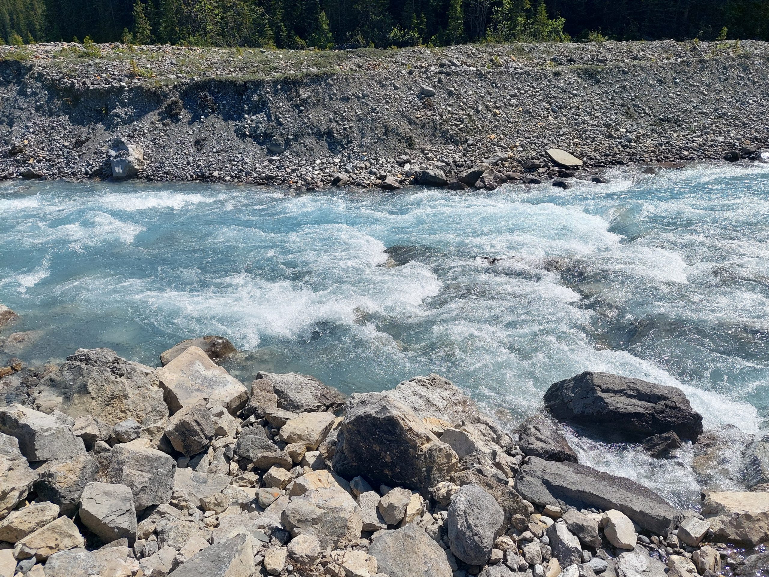
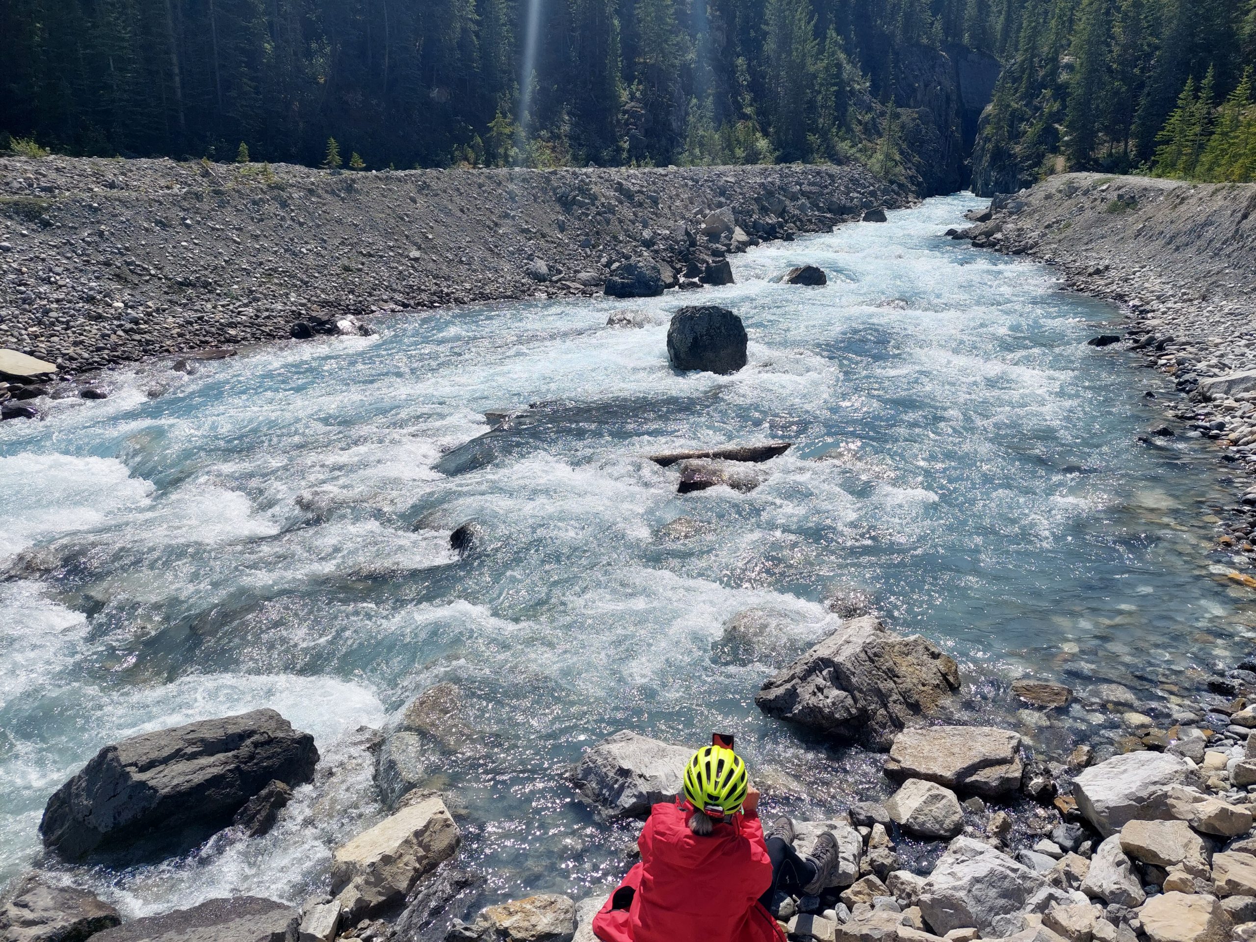
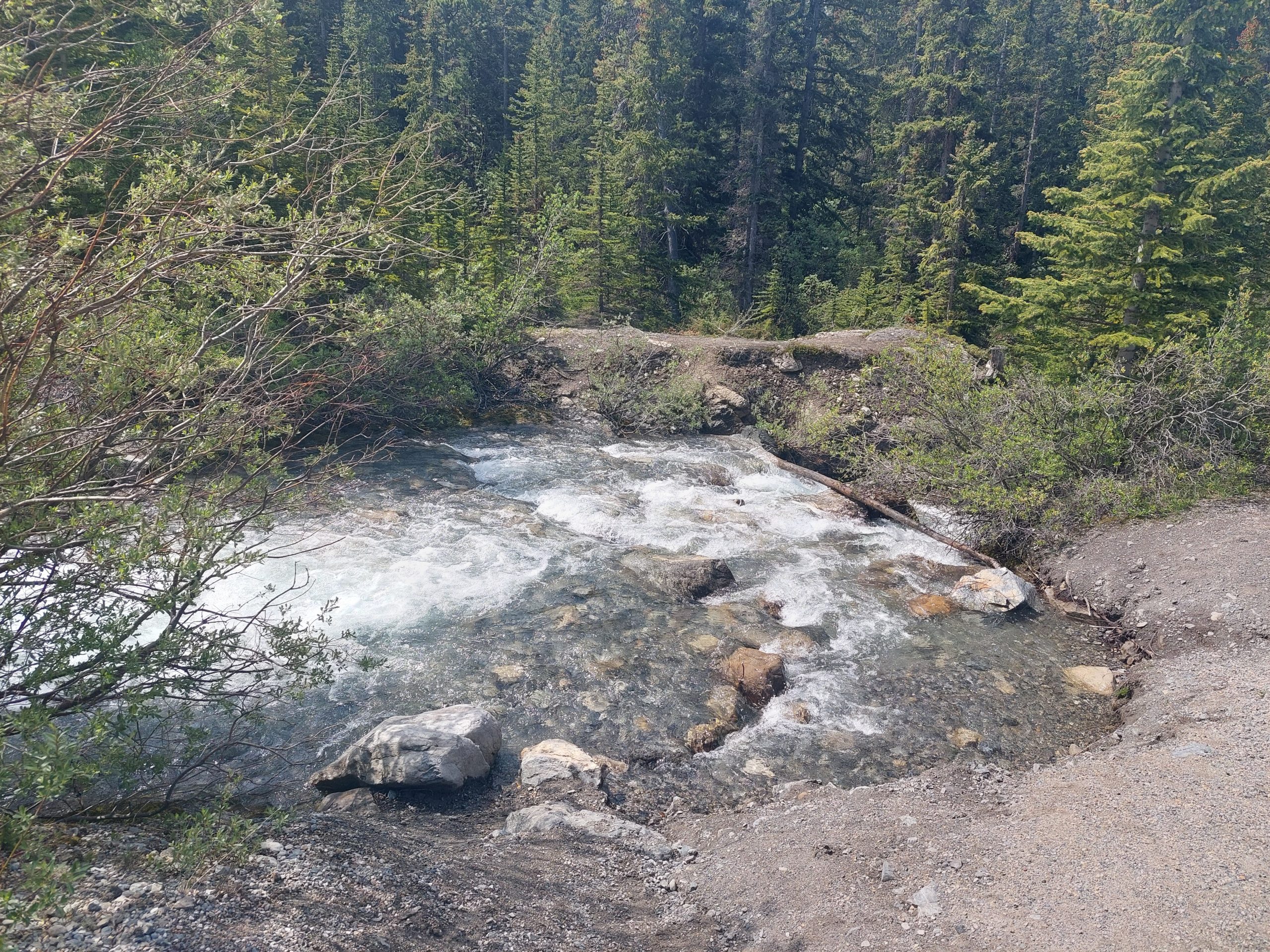
The Bow Valley Parkway was very pretty, as pretty as the Icefields Parkway, and it was obvious we were coming into more temperate ecosystems — the plants were a little more like home, and a bit thicker on the ground too. The ride was mostly uneventful, but we did have to stop to let a young bear cross the road at one point. We rode on, stopping at scenic places with names like Morant’s Curve, Castle Mountain, Moose Meadows, and Vermilion Lakes…
On Our Way!Iconic Morant’s CurveBow RiverMorant’s CurveBus Stopped For BearBow Valley ParkwayAnneScenic Bow ValleyBow RiverCastle MountainMoose MeadowJust Outside BanffVermilion LakeVermilion LakeKayaks
Banff, the town itself, was considerably less idyllic and more hectic than the ride there. We stopped at the first place we saw (mistake), a Tim Horton’s (big mistake), and when we parked the bikes I saw a woman painting her be-stickered and graffiti-covered car with a paintbrush and gray house paint. I said hello (huge mistake) and she bombarded me with a torrent of pressured speech about the car and bad decisions, etc; we retreated into the Tim Horton’s, but it was a mob scene so we hopped back on our bikes and rode straight to our campsite, another mile or so up the road.
JulieAnneMountain ViewFlowers
This was Tunnel Mountain Village I, and it was awesome: a really big place but spacious and comfortable, with running water and showers and beautiful views everywhere. We showered, ate, took a walk around our new neighborhood, and fell back into our tents.
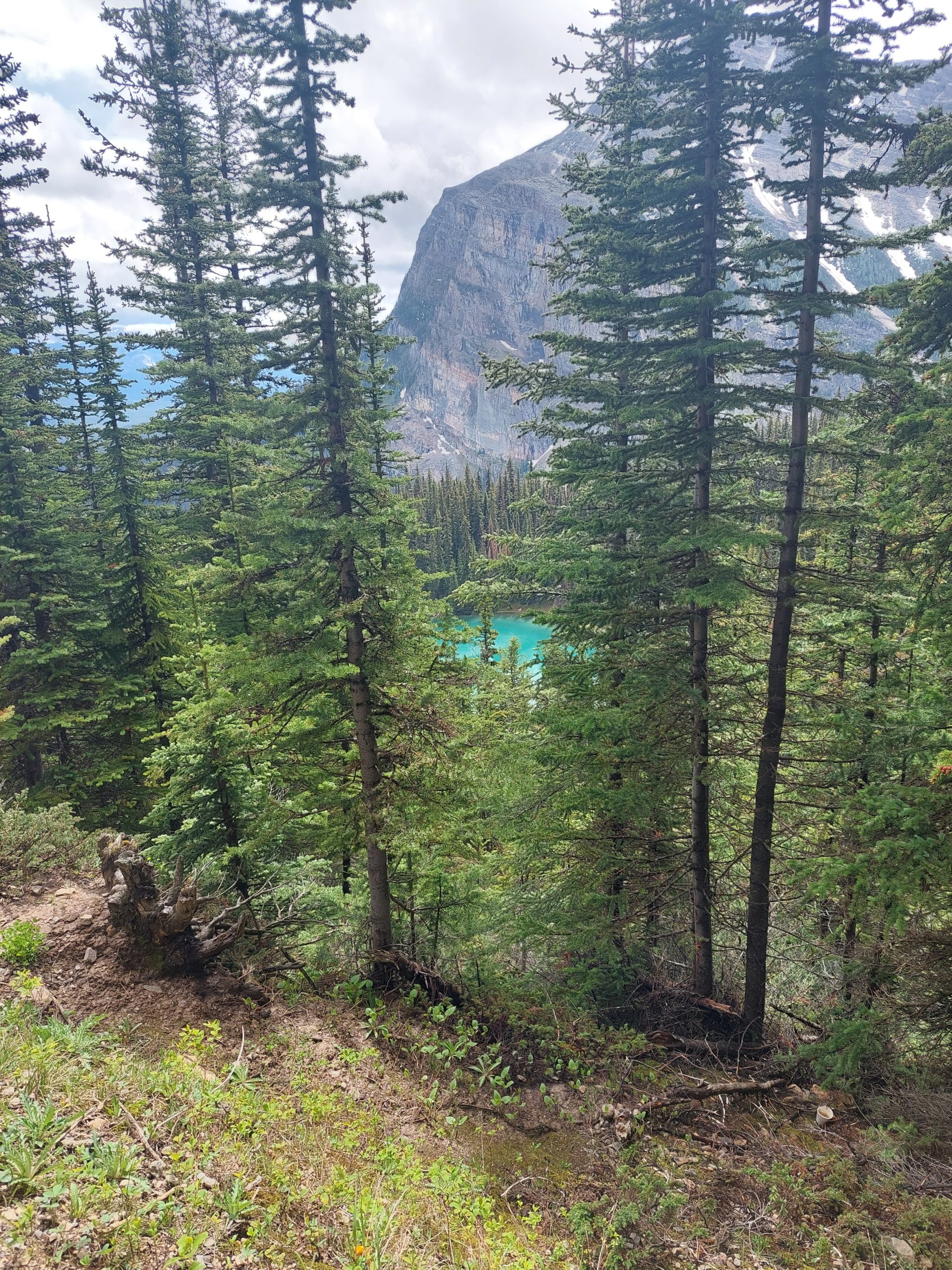
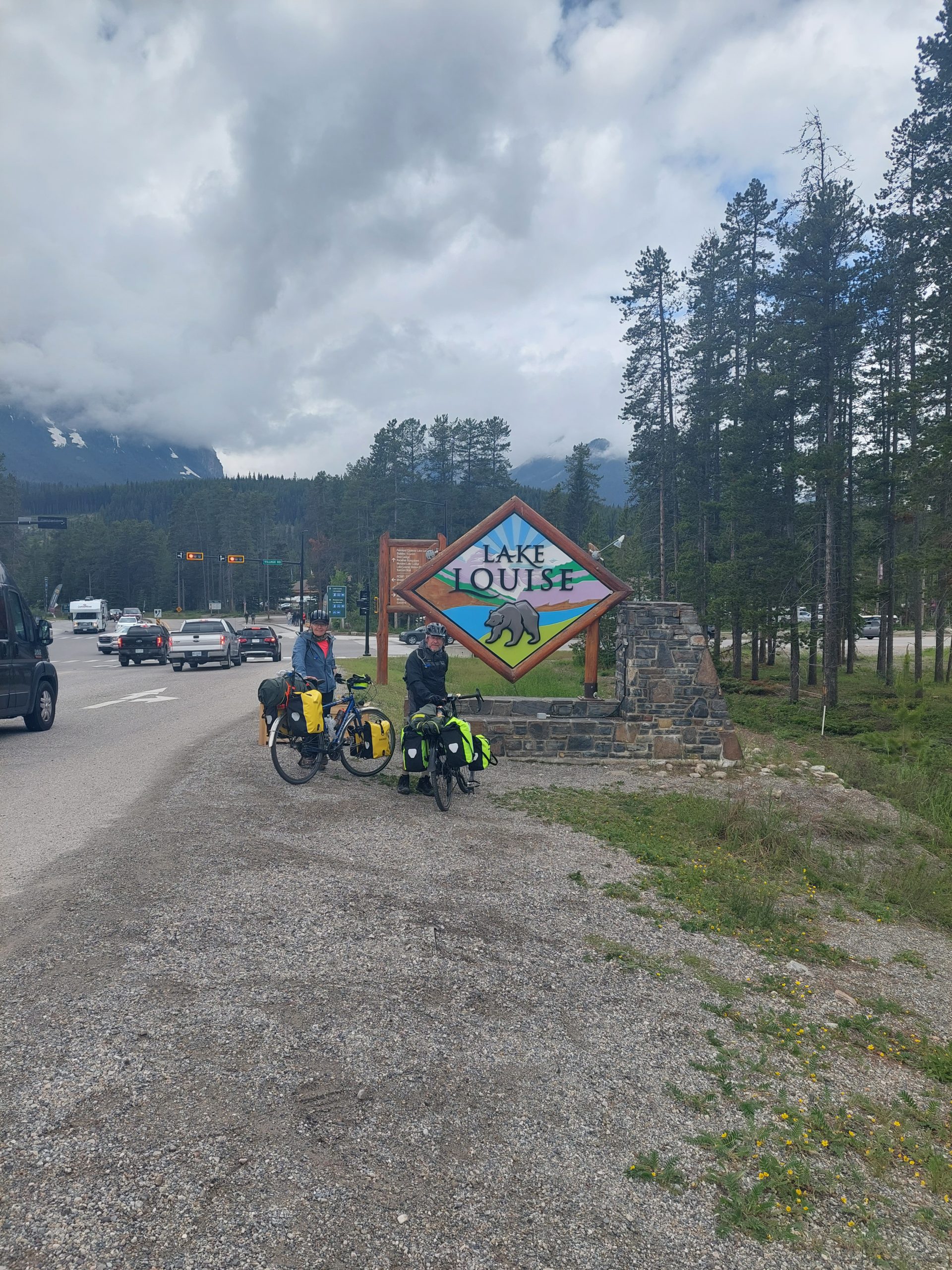
This is the tenth in a series of posts about our bicycling trip down the Icefield Parkway, through Jasper and Banff National Parks in Alberta, Canada. The full series can be found here.
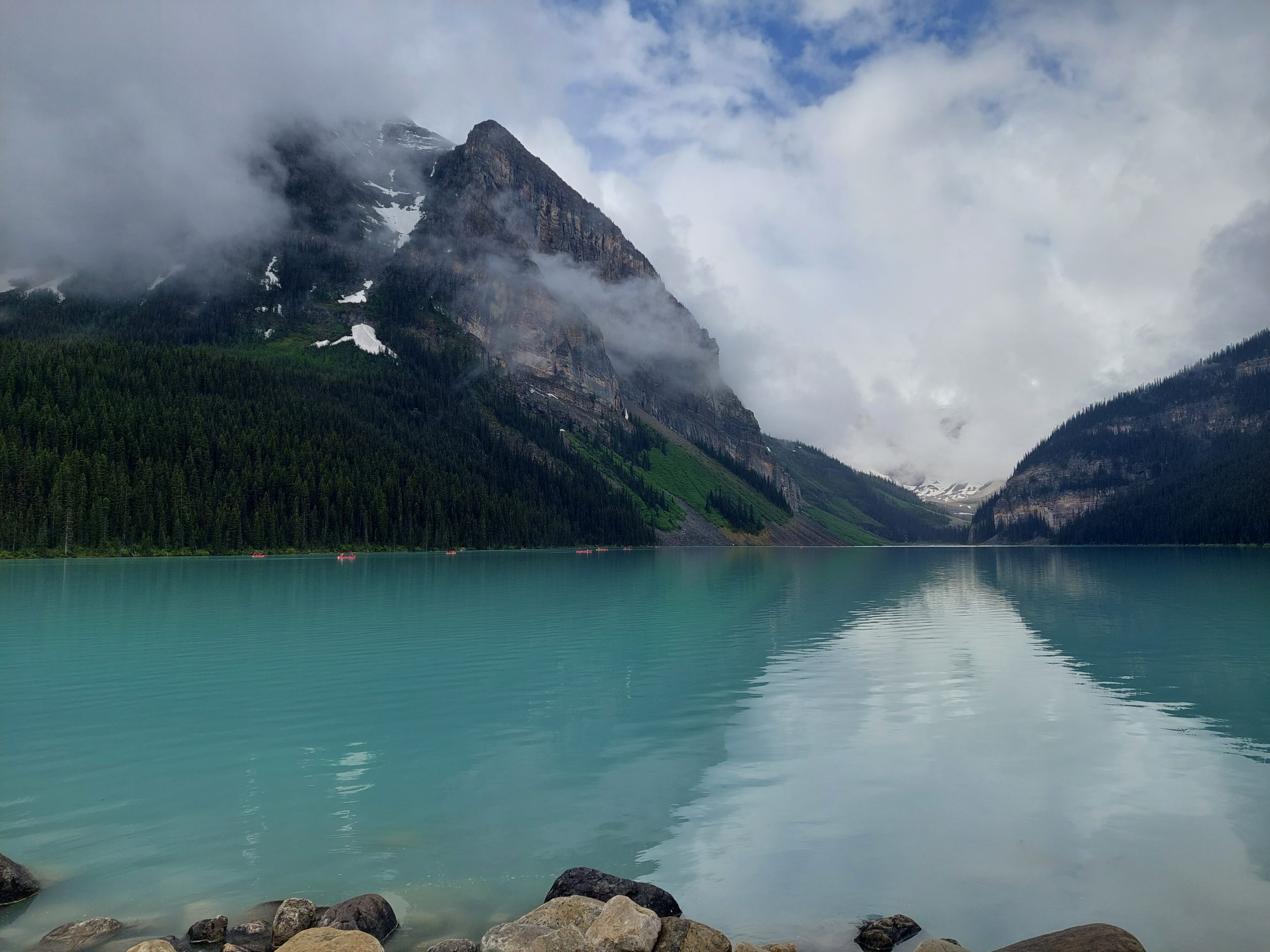
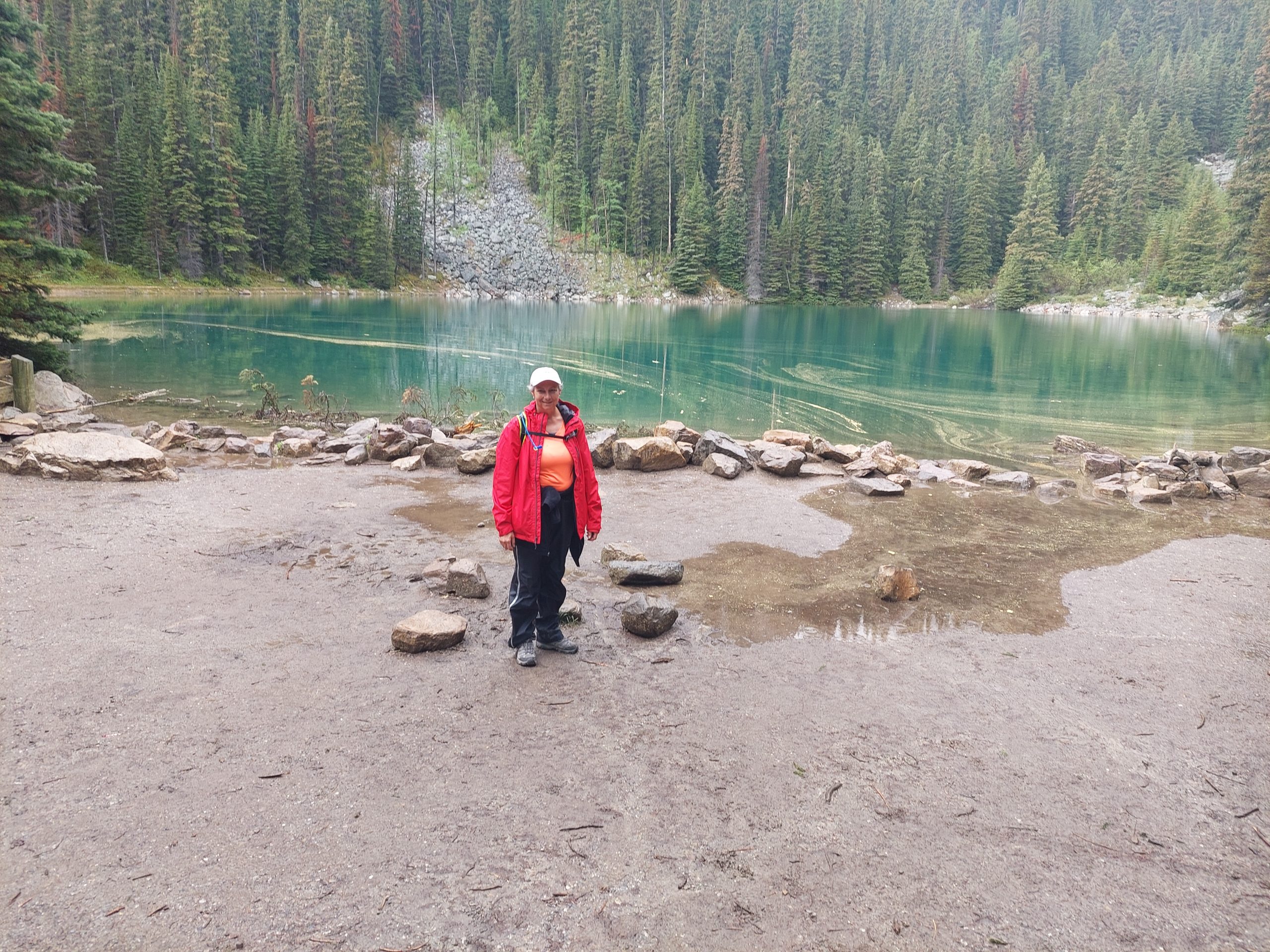
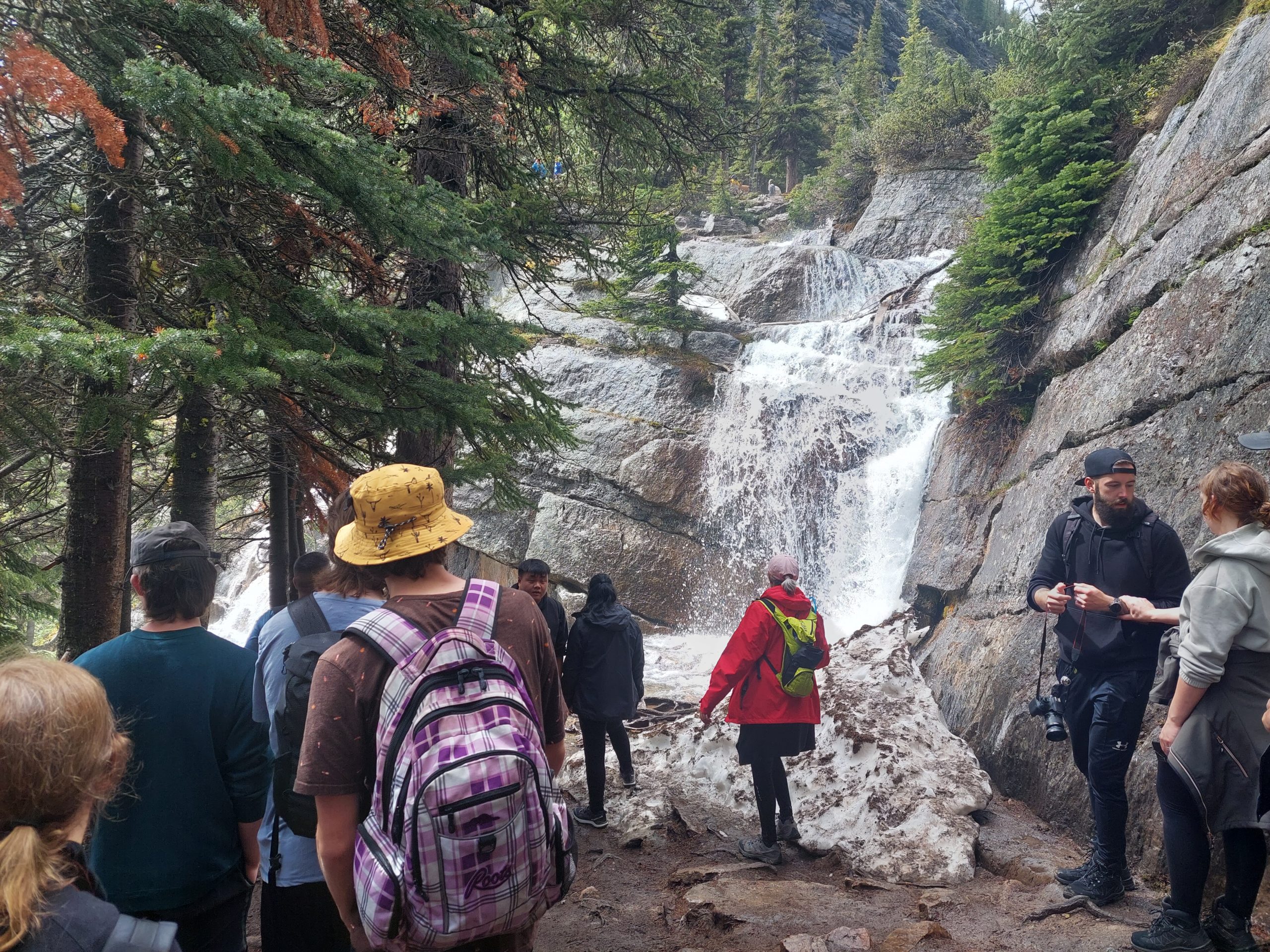
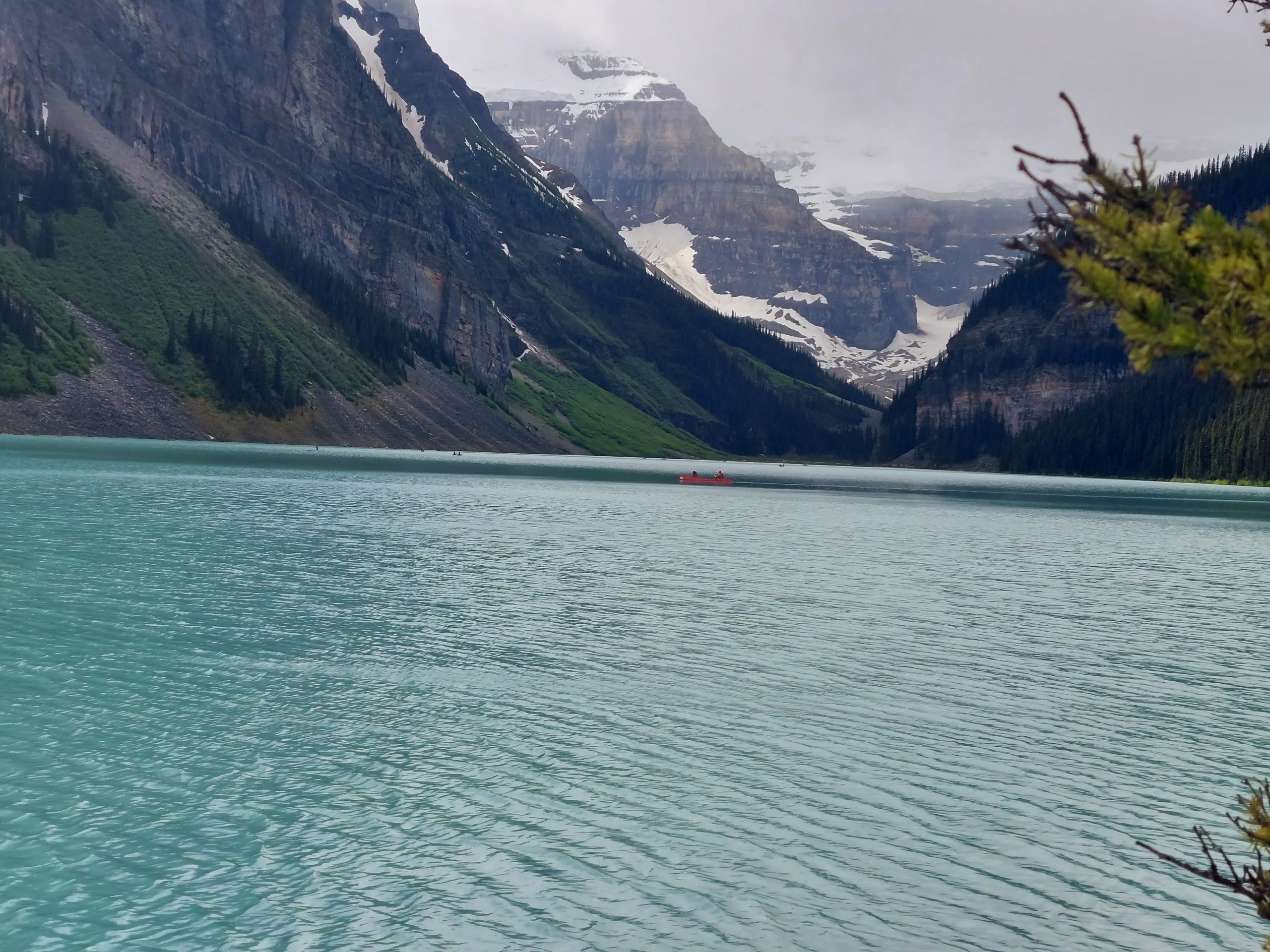
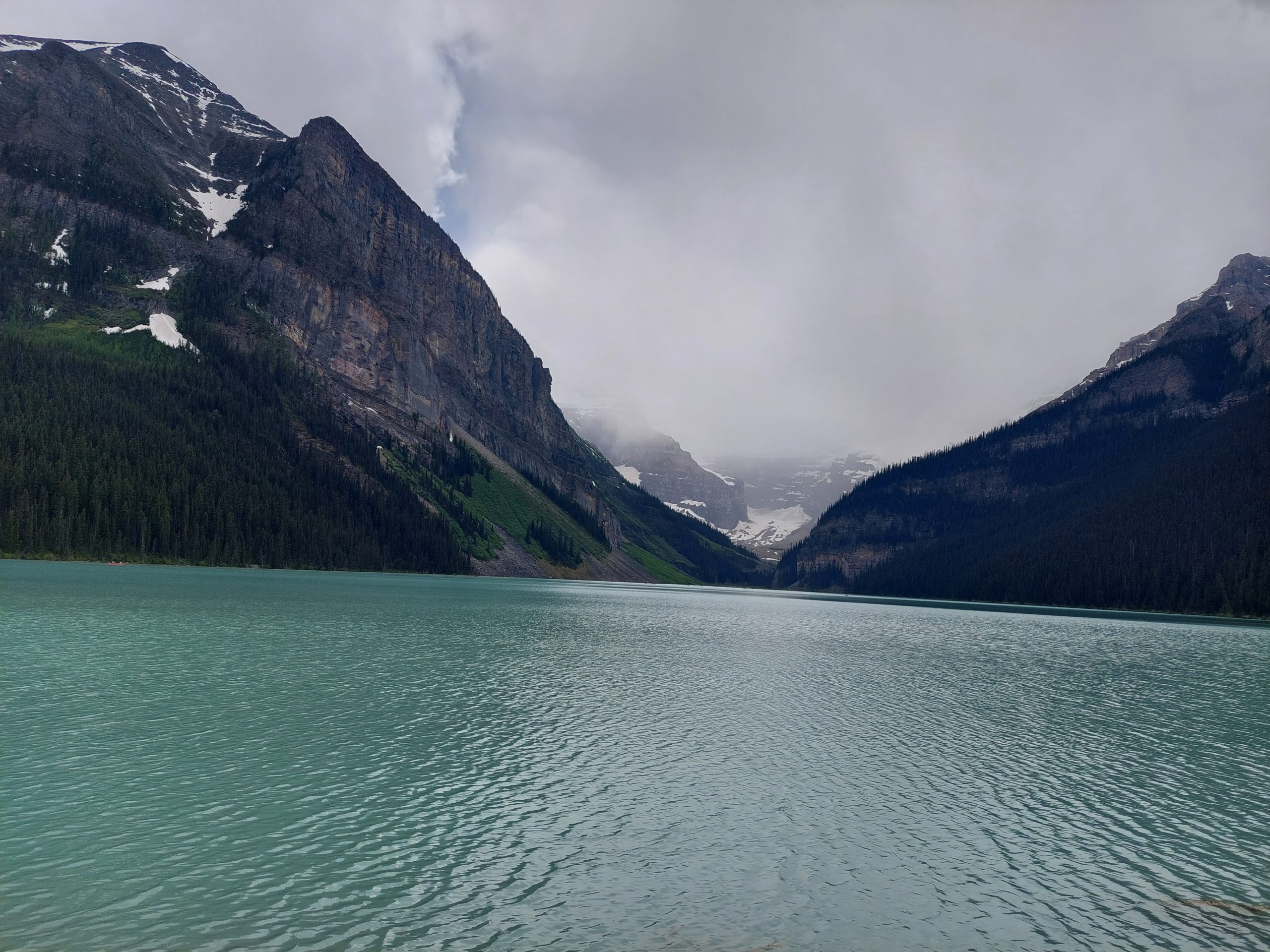
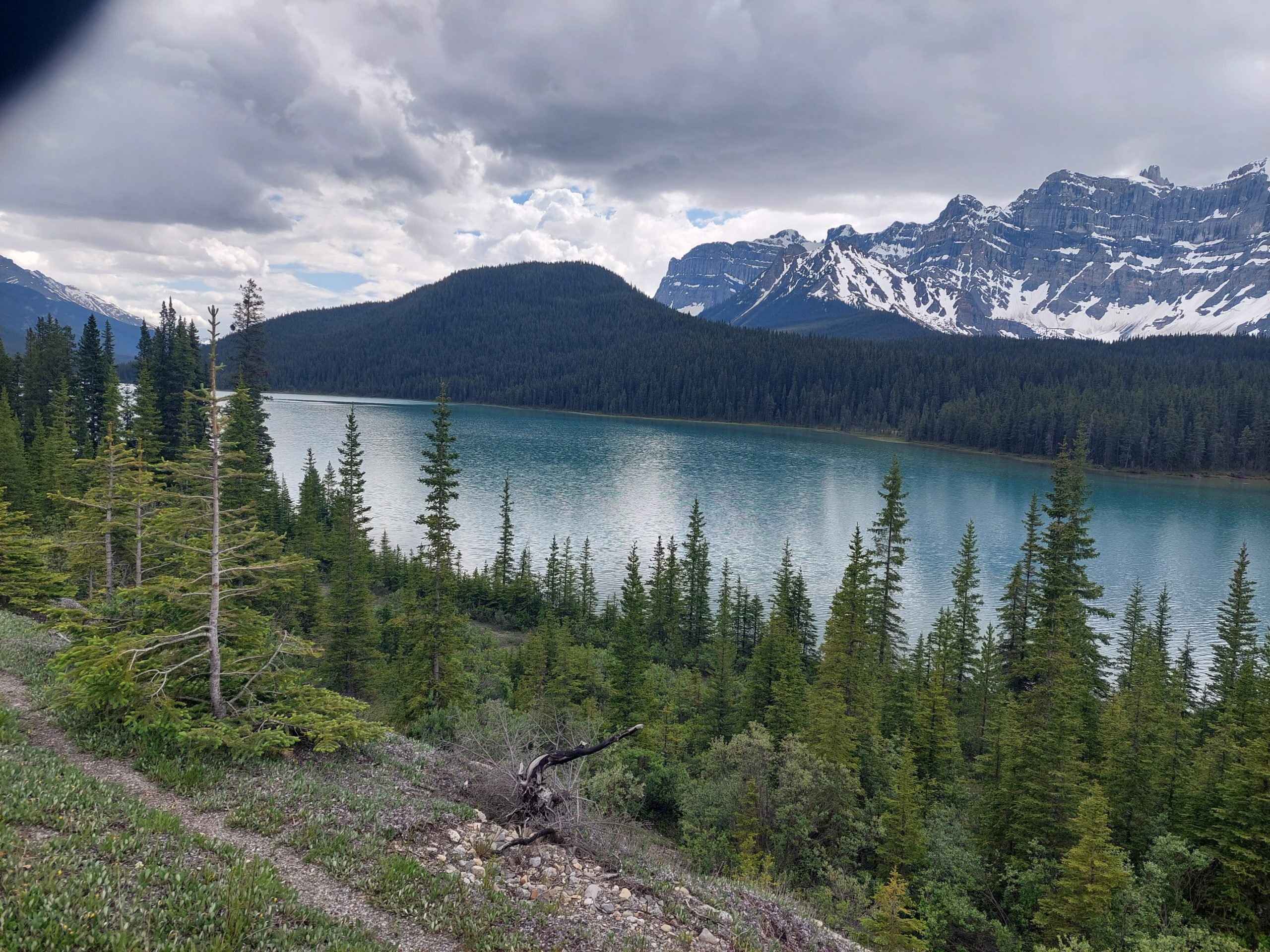
We had two overnights at the Lake Louise Hostel, and Tuesday was our day for exploring the area. The town of Lake Louise isn’t very big — some hotels, a few shops — but it is the hub for a lot of the more iconic things to do in Banff National Park; we chose to ride back to the lake, on the Tramway Trail rather than that twisty mountain road, and then hike from there up to the famous Tea House next to Lake Agnes. I’ll skip the bike maps for this since we just rode a few miles, but here are a few photos from the ride and our first view of Lake Louise:
The Road To Lake LouiseTramway Trail OverlookTramway TrailIconic Lake Louise
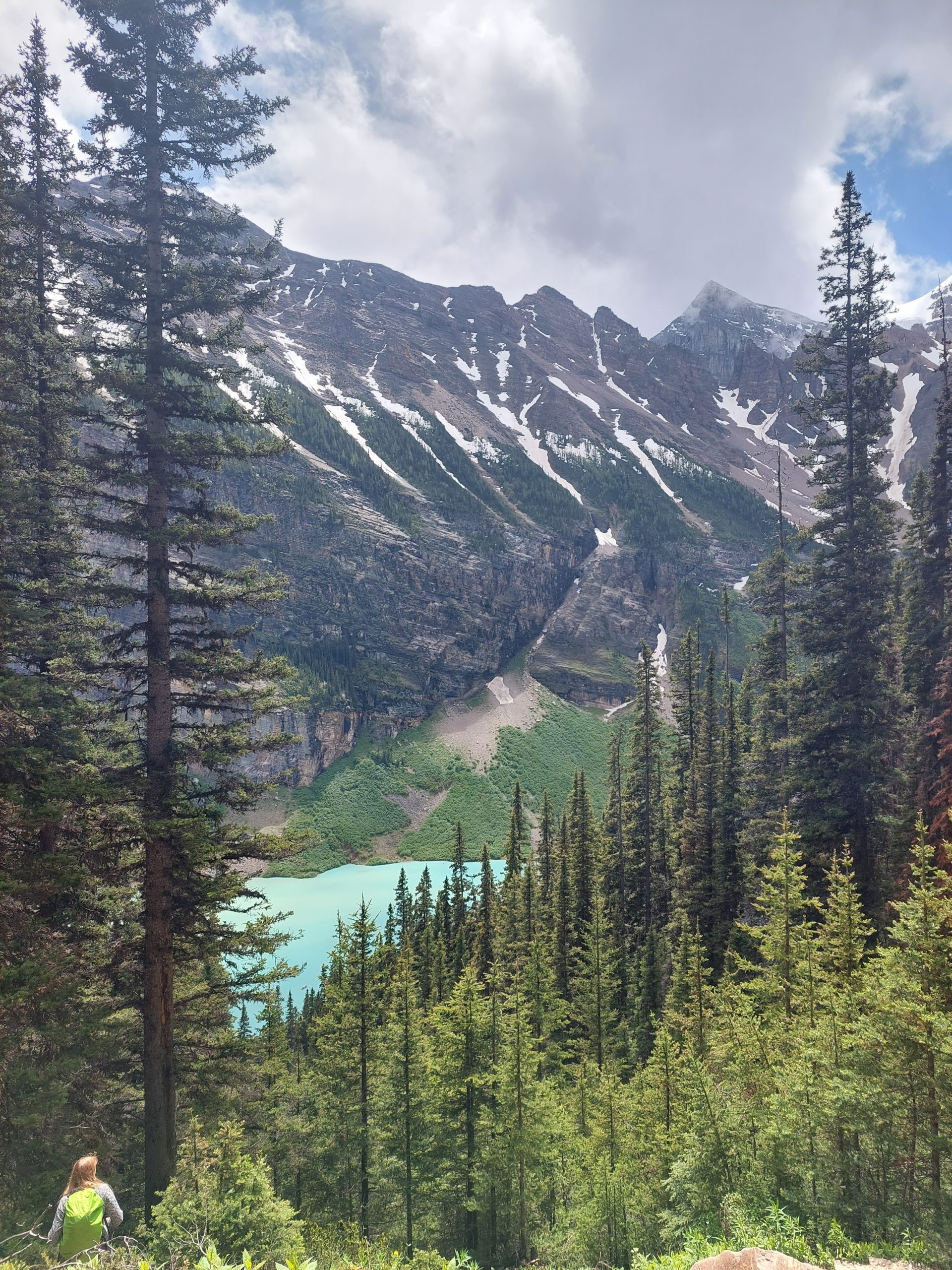
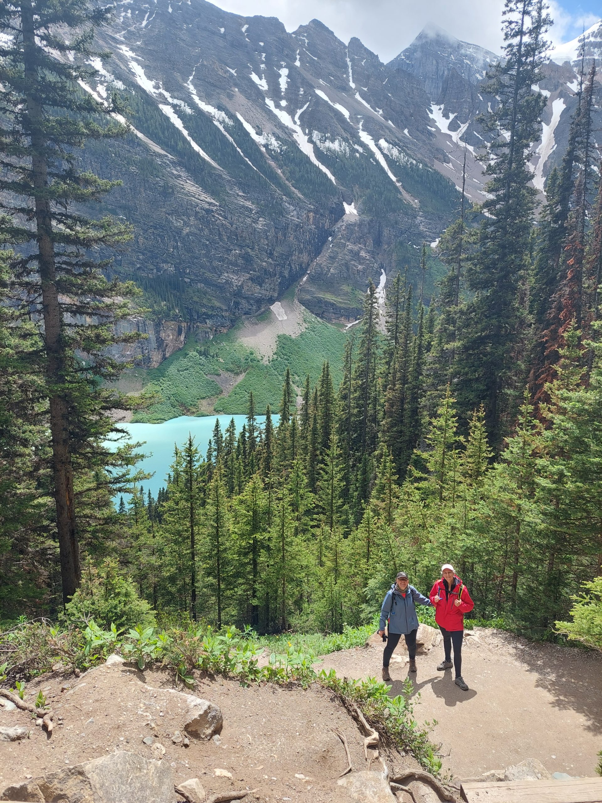
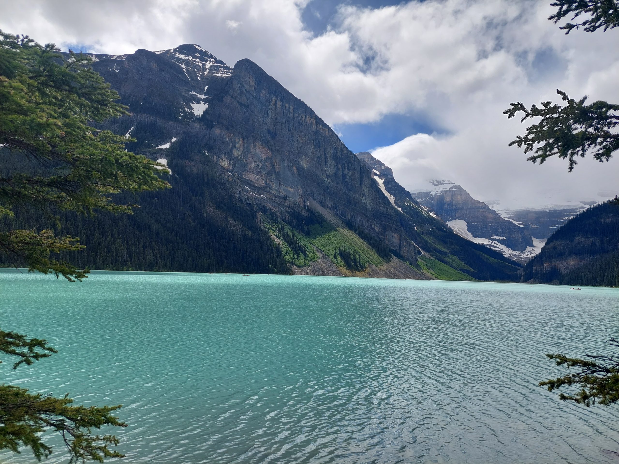
Lake Louise itself was beautiful, but the area immediately around it was incredibly crowded so we didn’t stick around, we just started to climb:
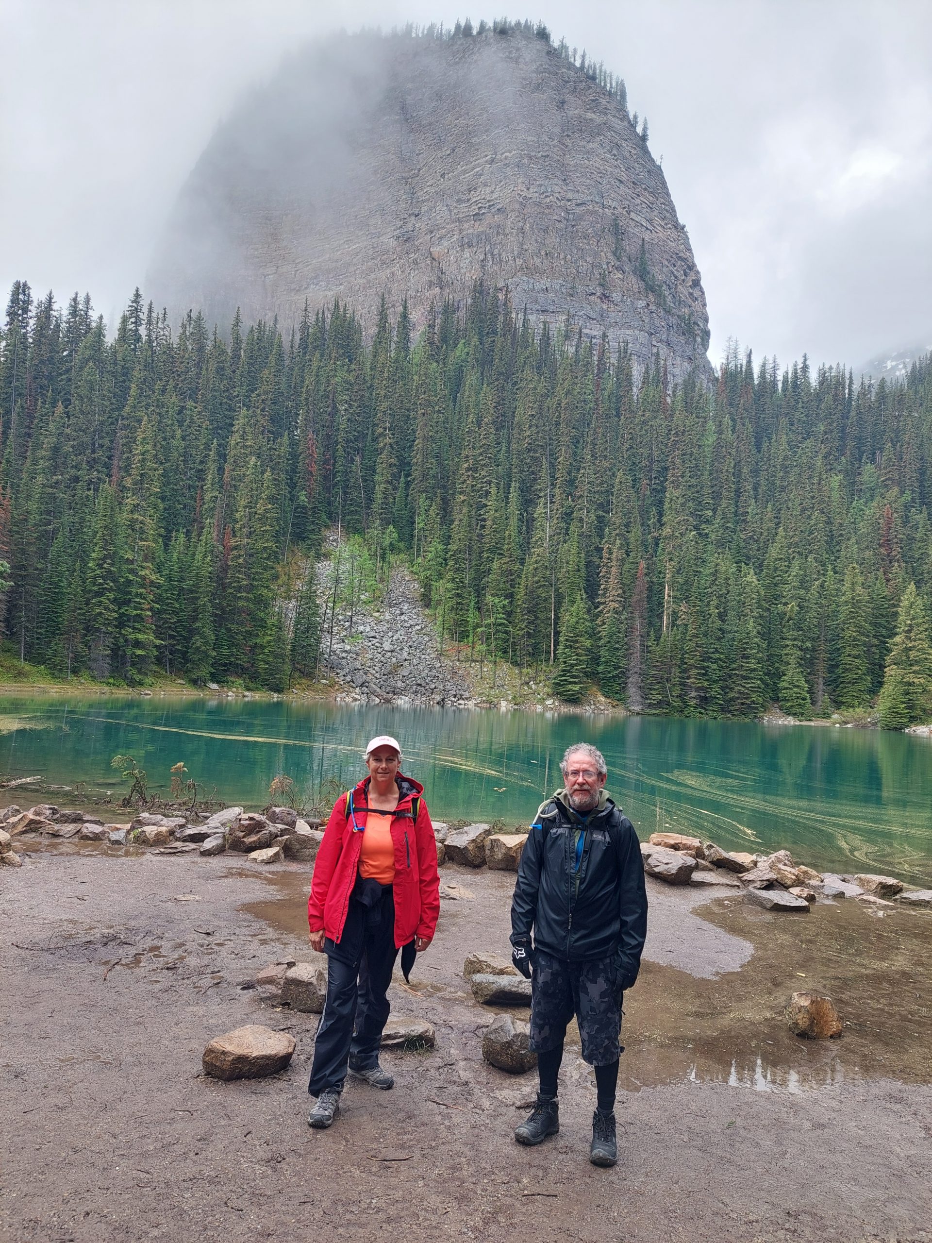
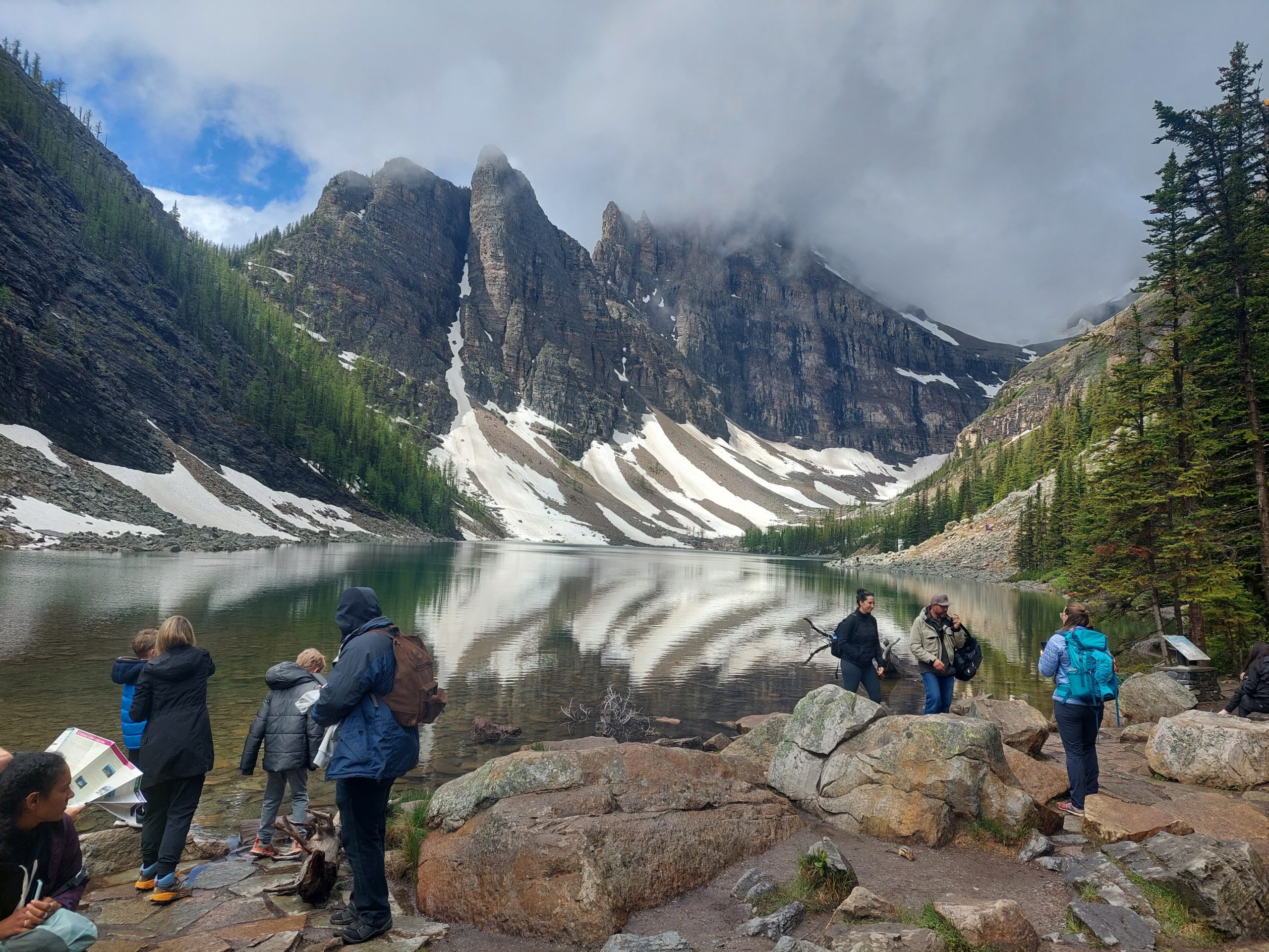
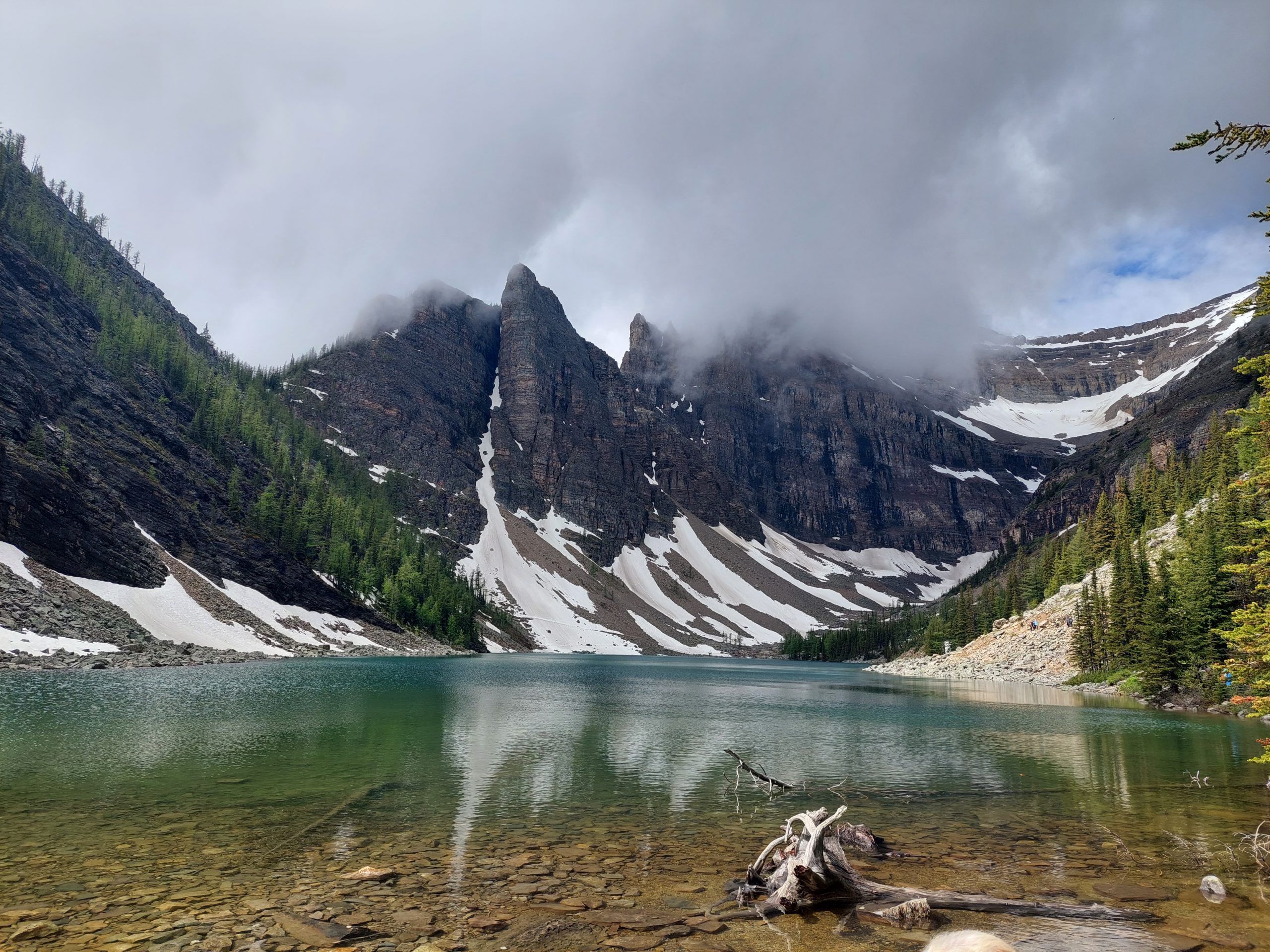
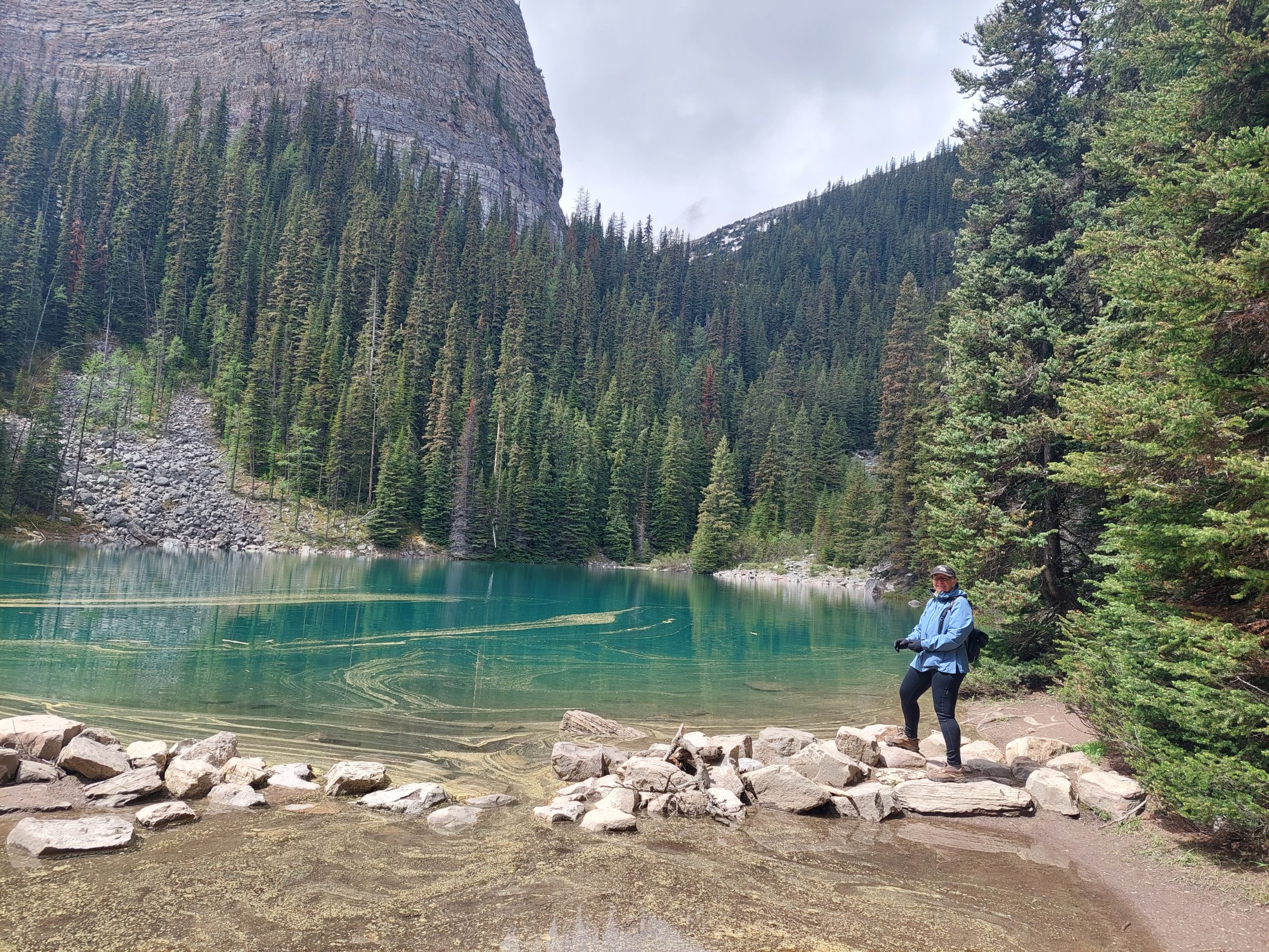
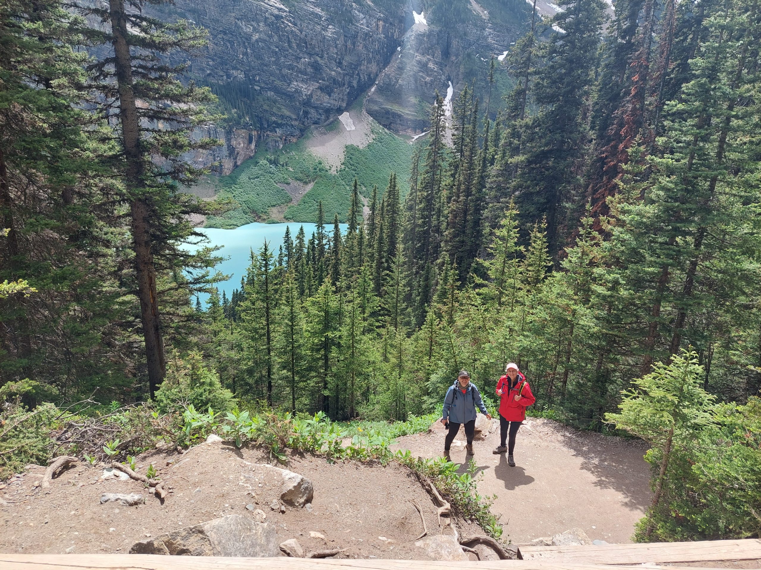
I expected our day to be a leisurely ramble around a few lakes, followed by tea at some lonely, isolated bastion of decorum, maybe even some kind of Zen mountain retreat… Well there were lakes, and tea, but the “ramble” was decidedly more rugged than I was envisioning, and the trail to the tea house was extremely popular — I was constantly being surprised by the hardiness of our fellow tourists. There were children, and parents and grandparents, all cheerfully marching along with us up the ten percent grade (though the trail was smooth and wide, so it really wasn’t too bad), and we arrived at the tea house at what looked like the morning rush. We got our tea and some fresh baked pastries, and had our tea party along the lake. Here are some pictures from our hike up:
Lake Louise From The Tea House TrailJulie At Mirror LakeJulie And Me At Mirror LakeMountain VistaJulie At The WaterfallLake AgnesLake AgnesLooking Down From Lake Agnes
The tea house itself was a marvel, without electricity or running water, and accessible only on foot, even for resupply. It was run by a bunch of cheerful, rugged young park interns, who were constantly baking more pastries and biscuits and selling tea as fast as they could hand it out. Things quieted down considerably after a short while, and when the crowd thinned out we did the same. (On the way back down to the lake, we actually ran into some of the people who helped Julie with the bus situation the day before.)
Little PineconesDistant PeaksAnne At Mirror LakeAnn And JulieLake Louise Through The trees Lake LouiseAnn And Julie
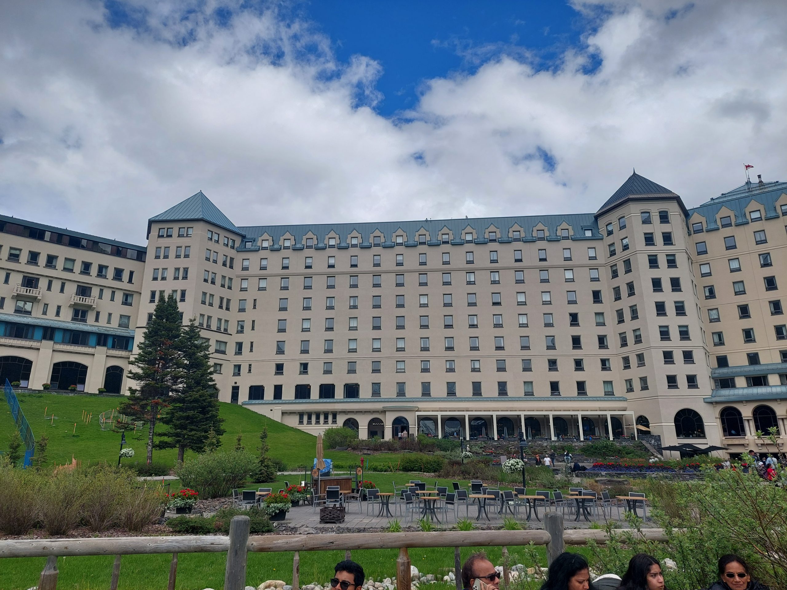
Then we were back down at Lake Louise again, and I got some more shots of the lake, as well as of the luxurious old hotel, the Chateau Lake Louise:
Lake LouiseLake LouiseLake LouiseLake Louise Hotel
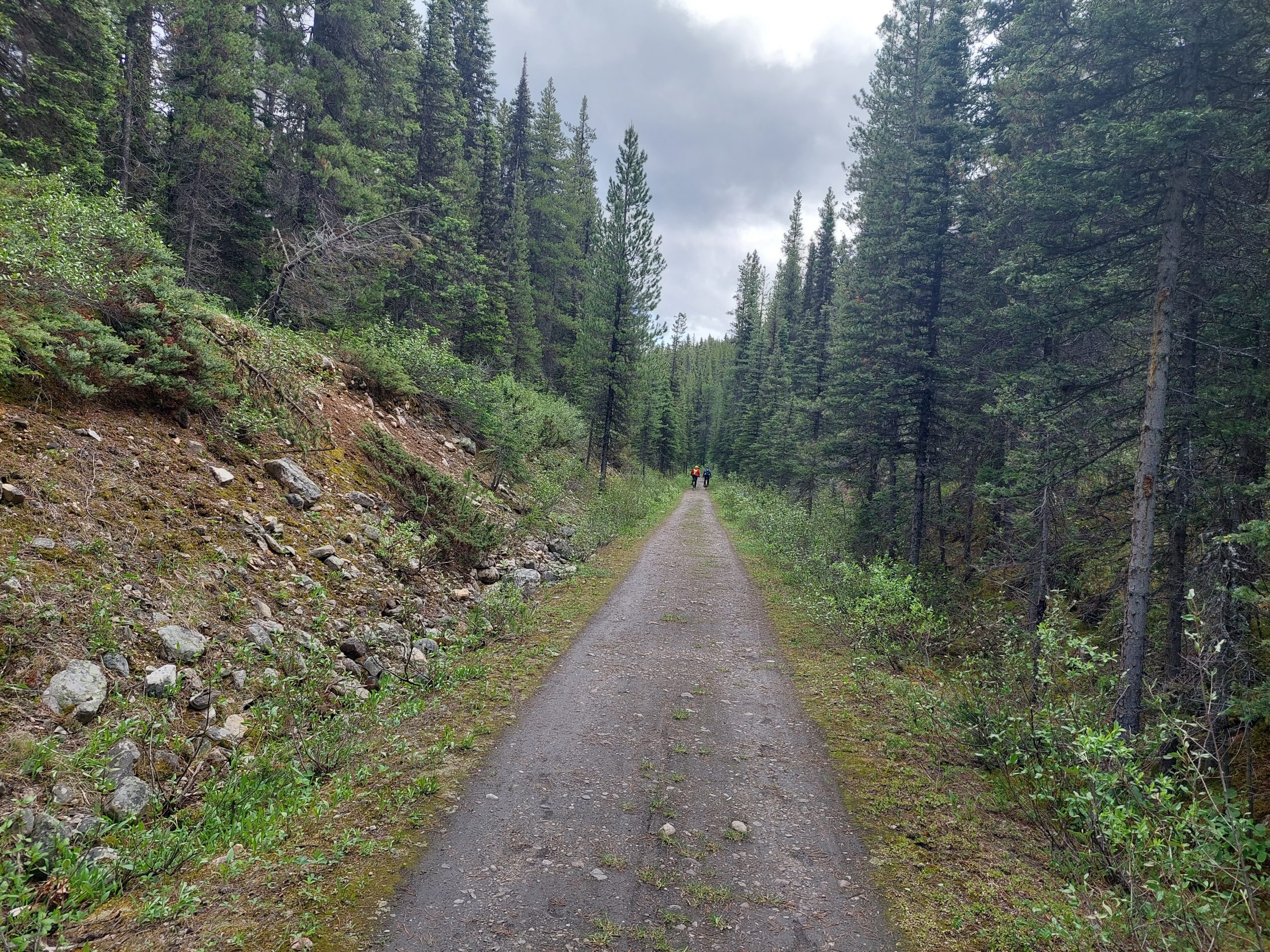
We walked back through the crowds and the buses and cars, and then rode the Tramway Trail back to town:
On The TrailTramway Trail
We explored town some more, then made made dinner at the hostel. I personally crashed at this point, as my inner ear and sinuses were feeling pretty miserable.
This is the ninth in a series of posts about our bicycling trip down the Icefield Parkway, through Jasper and Banff National Parks in Alberta, Canada. The full series can be found here.
We ate and packed up, and then we said goodbye to Mosquito Creek and our benefactor Tim. I got one last photo before we took off:
Anne, Julie and Tim
Our route continued downhill, from Mosquito Creek to the iconic mountain town of Lake Louise. This was our second-shortest ride day and probably our easiest, and the day we said goodbye to the Icefields Parkway.
Cloudy MountainHerbert Lake
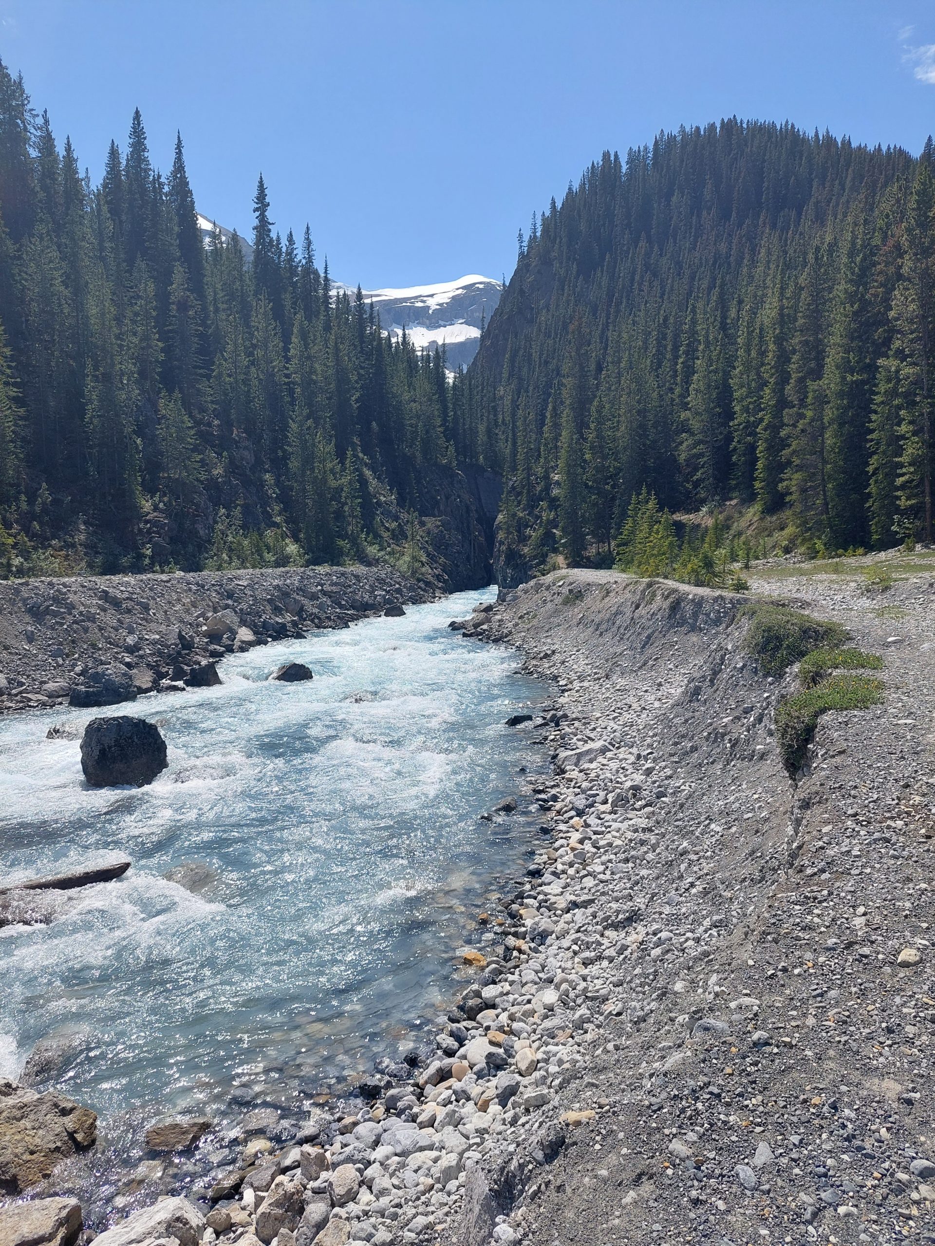
The day’s weather was pretty variable: sunny one moment and raining the next, but this was a pleasant ride, and it was over too soon. We came to the end of the Icefields Parkway, passing the huge line of cars lined up to get into the park and eventually coming to the end of our road. At this point we had to get on the Trans-Canada Highway — the main road through Canada, and basically the equivalent of an Interstate — and ride the shoulder through a tunnel to take the Lake Louise exit. We made it!
Welcome To Lake Louise!
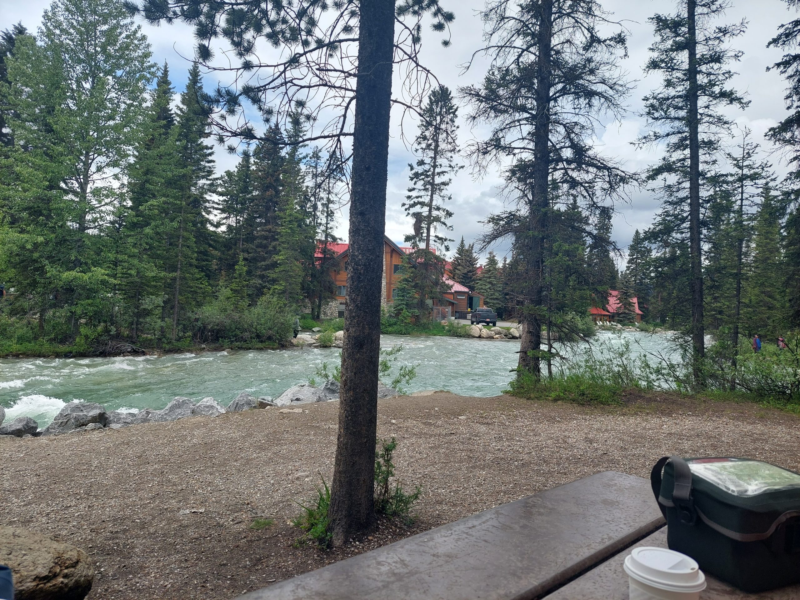
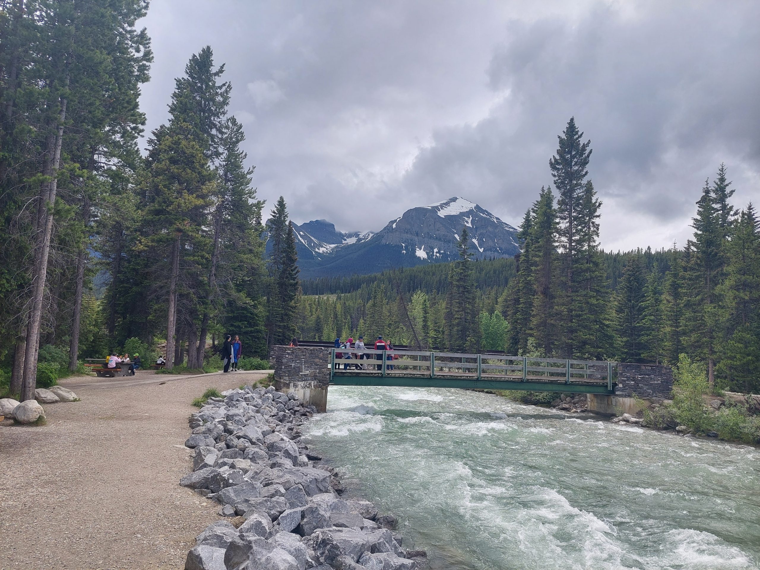
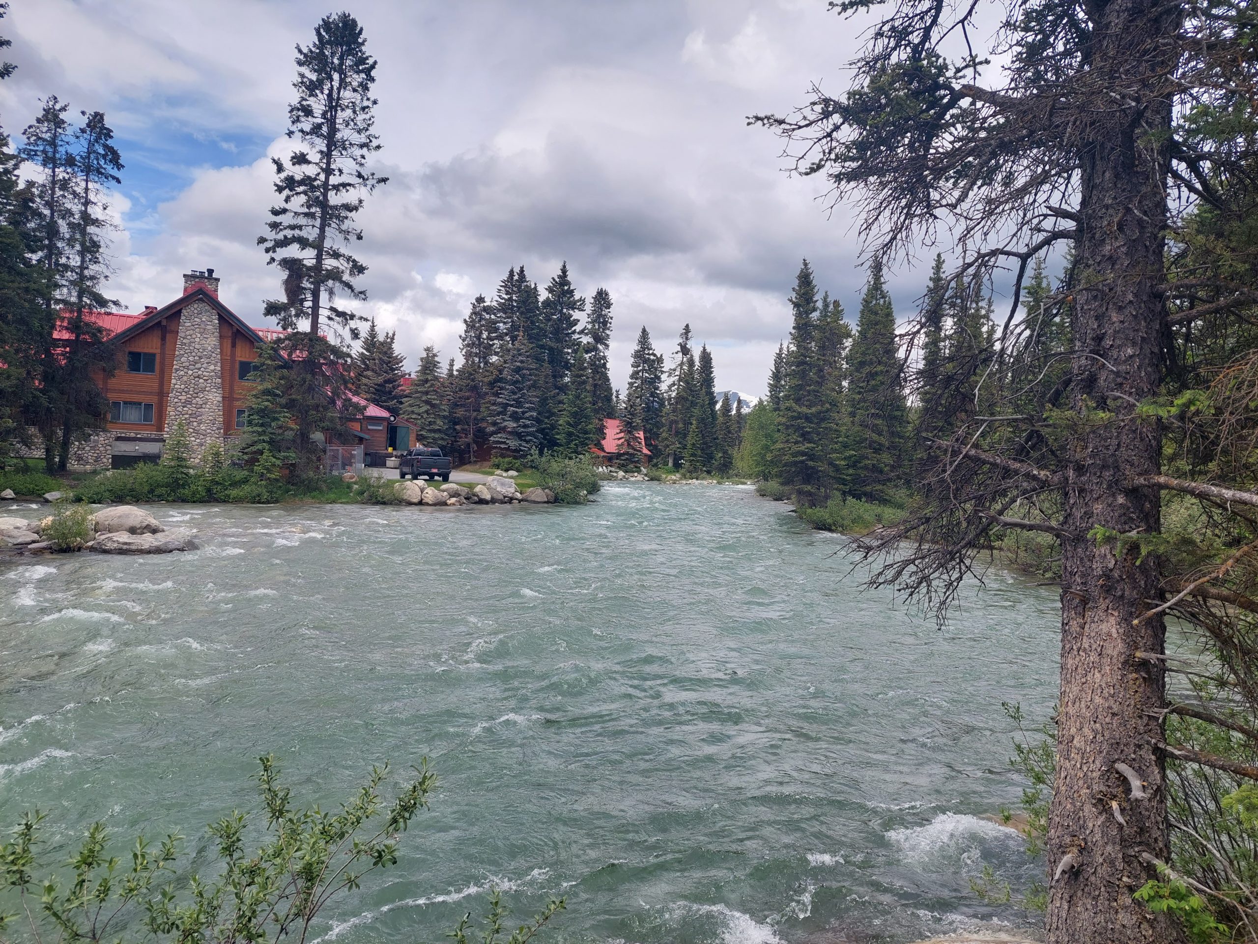
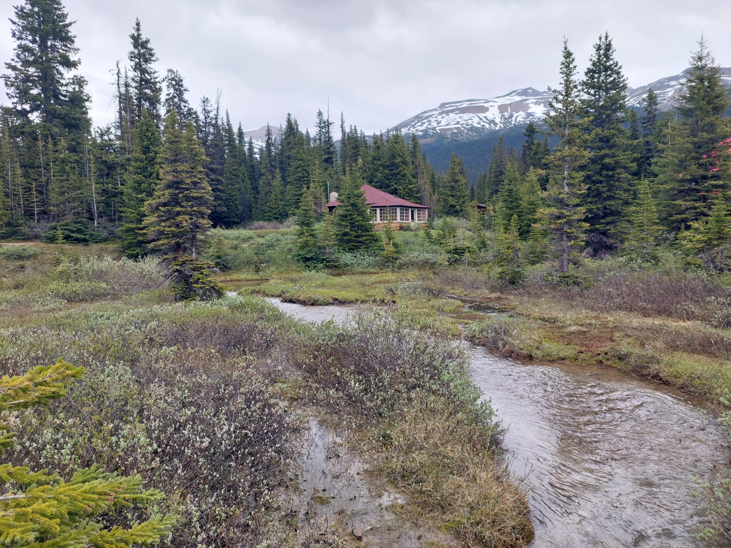
Our lodgings were at the Lake Louise Hostel, which was modern, very nice, and similar to the one in Jasper except that it also had a really good restaurant. We were a bit early and couldn’t check in yet, but we were able to drop our stuff off, then we grabbed lunch at a nearby restaurant and did some necessary shopping before checking in. Some photos of our first views of town — I took these at a picnic area behind the town shopping center, which was pretty much the whole town except for a few hotels:
Our picnic spot.Bridge Over The PipestonePipestone River
Anne and I opted for showers and a nap, while Julie rode up to the actual lake. The weather continued to deteriorate…
We got up, then got a hi-top table at the hostel’s restaurant — the equivalent of their bar, and the only spot we could get without a reservation. We got a beer and ordered some shared plates. We were into our second beer and wondering if we should send out the Mounties to go find Julie when we saw her come into the hostel, looking like a drowned rat. She went to shower and change, then met us at our table. We ordered dinner, hi-top or no, and heard her tale: it seems the ride from town to the actual lake is up a steep, curvy mountain road, and when she got there it was a tourist madhouse — she estimated 10,000-15,000 people in all. The it started to rain in earnest and all the other tourists started to leave, and she decided that she would take a bus back to town, the tiny road just wasn’t safe with all those people and the rain. She got on the bus line with the thousands who were doing the same, befriended her neighbors in line and got to know them, found out that she needed money for the bus so her new friends gave her the $2.00 fare, and eventually she got down the mountain and here she was! We drank a toast to her Canadian benefactors.
This is the eigth in a series of posts about our bicycling trip down the Icefield Parkway, through Jasper and Banff National Parks in Alberta, Canada. The full series can be found here.
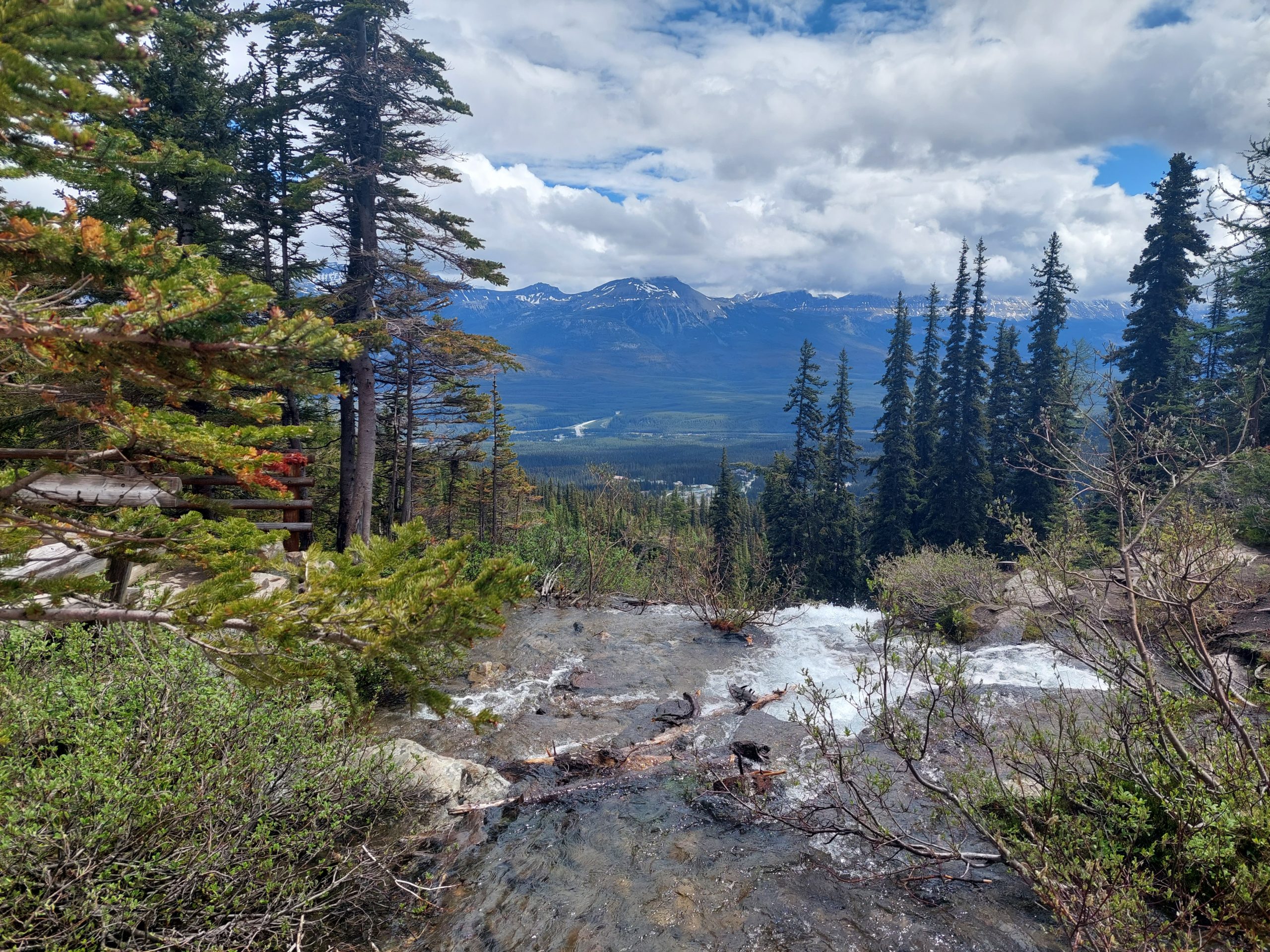
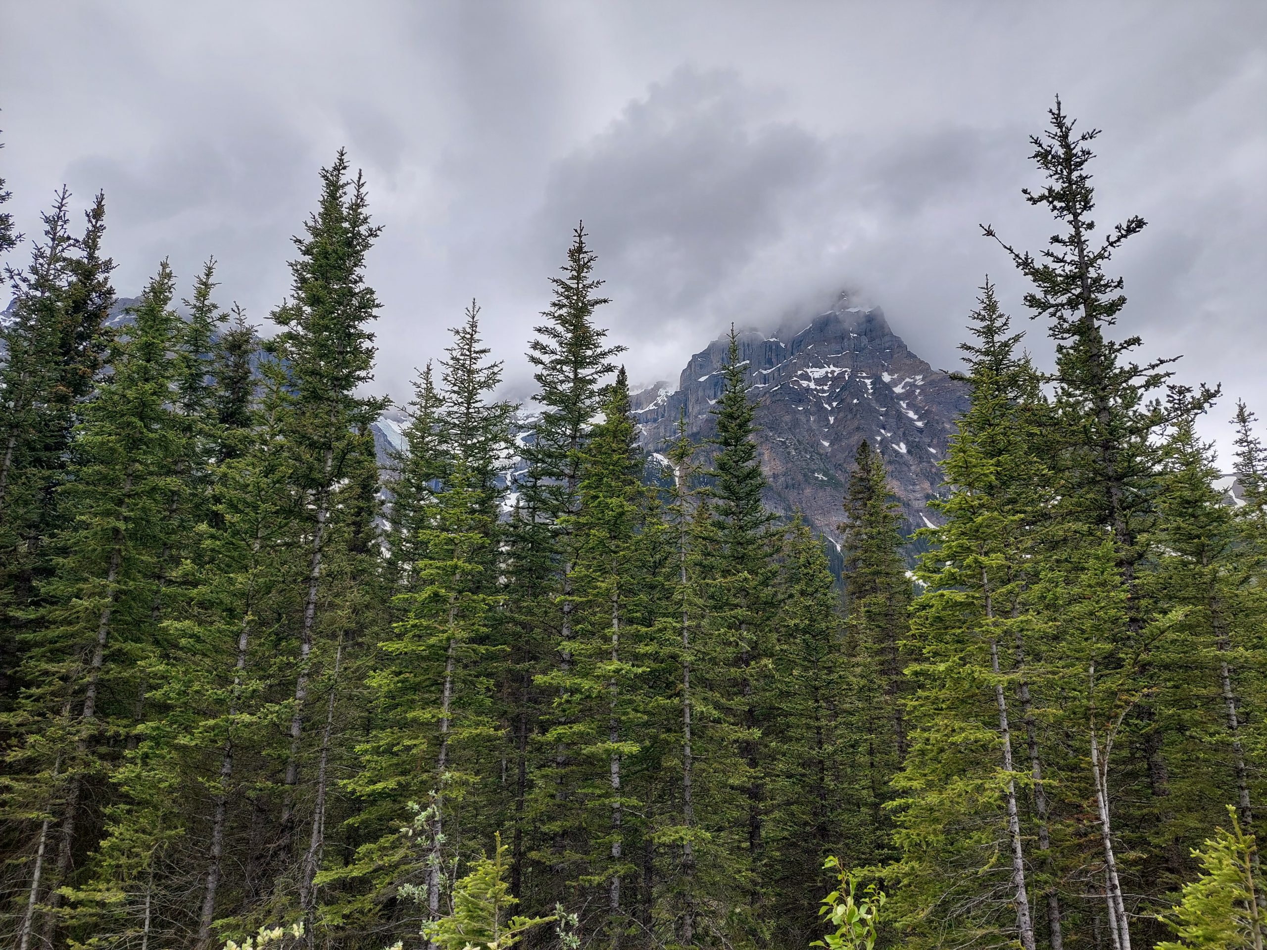
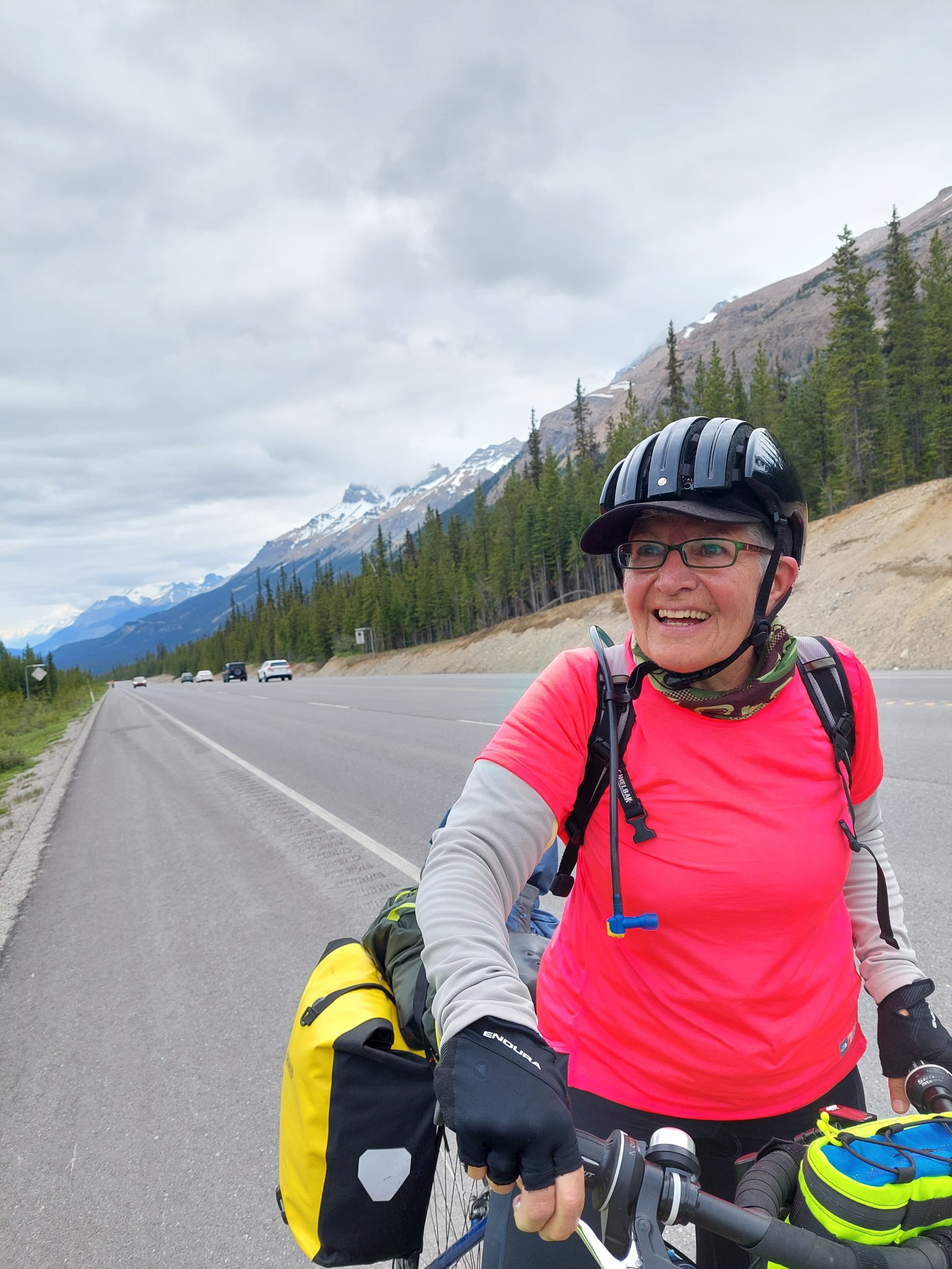
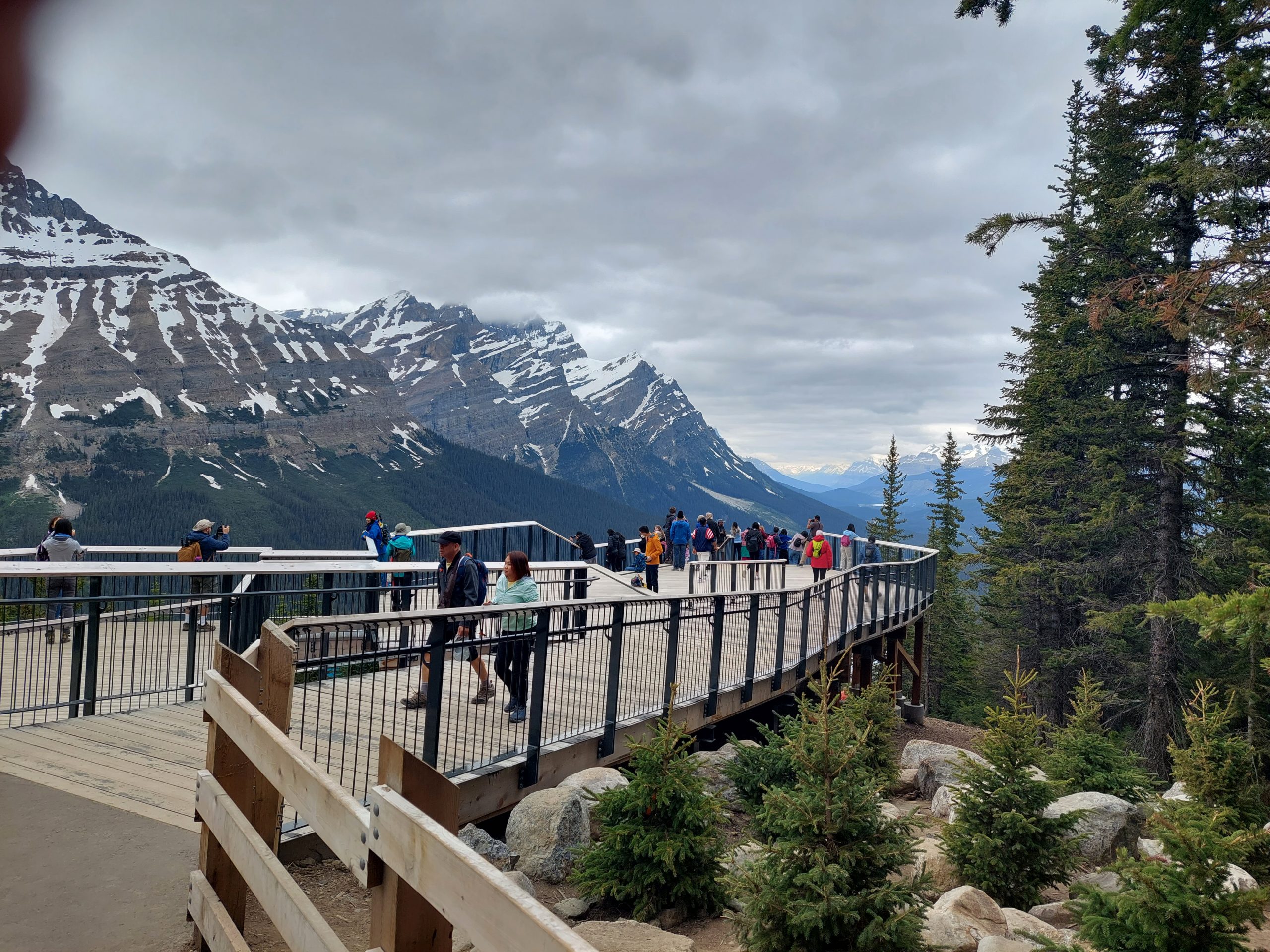
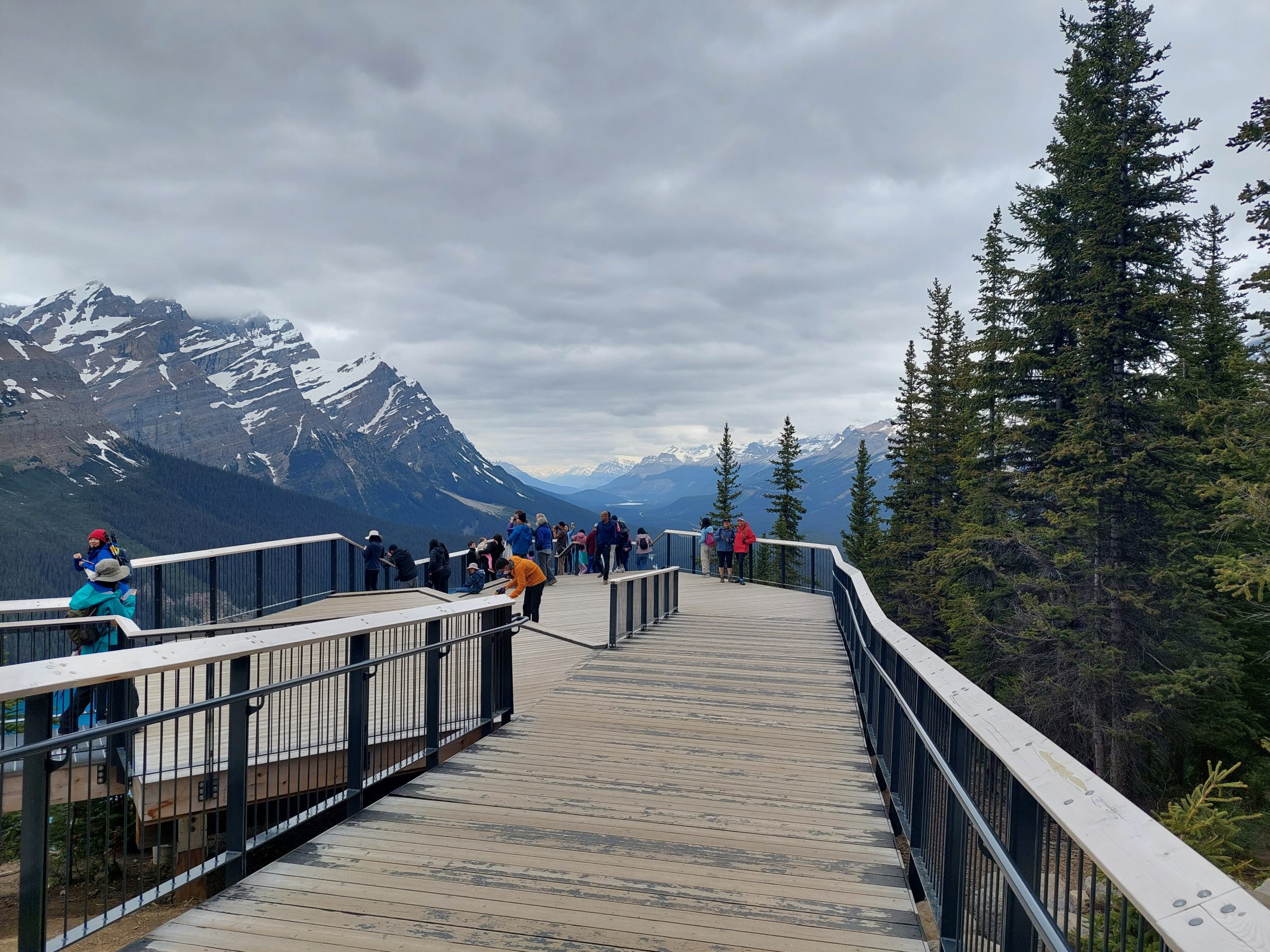
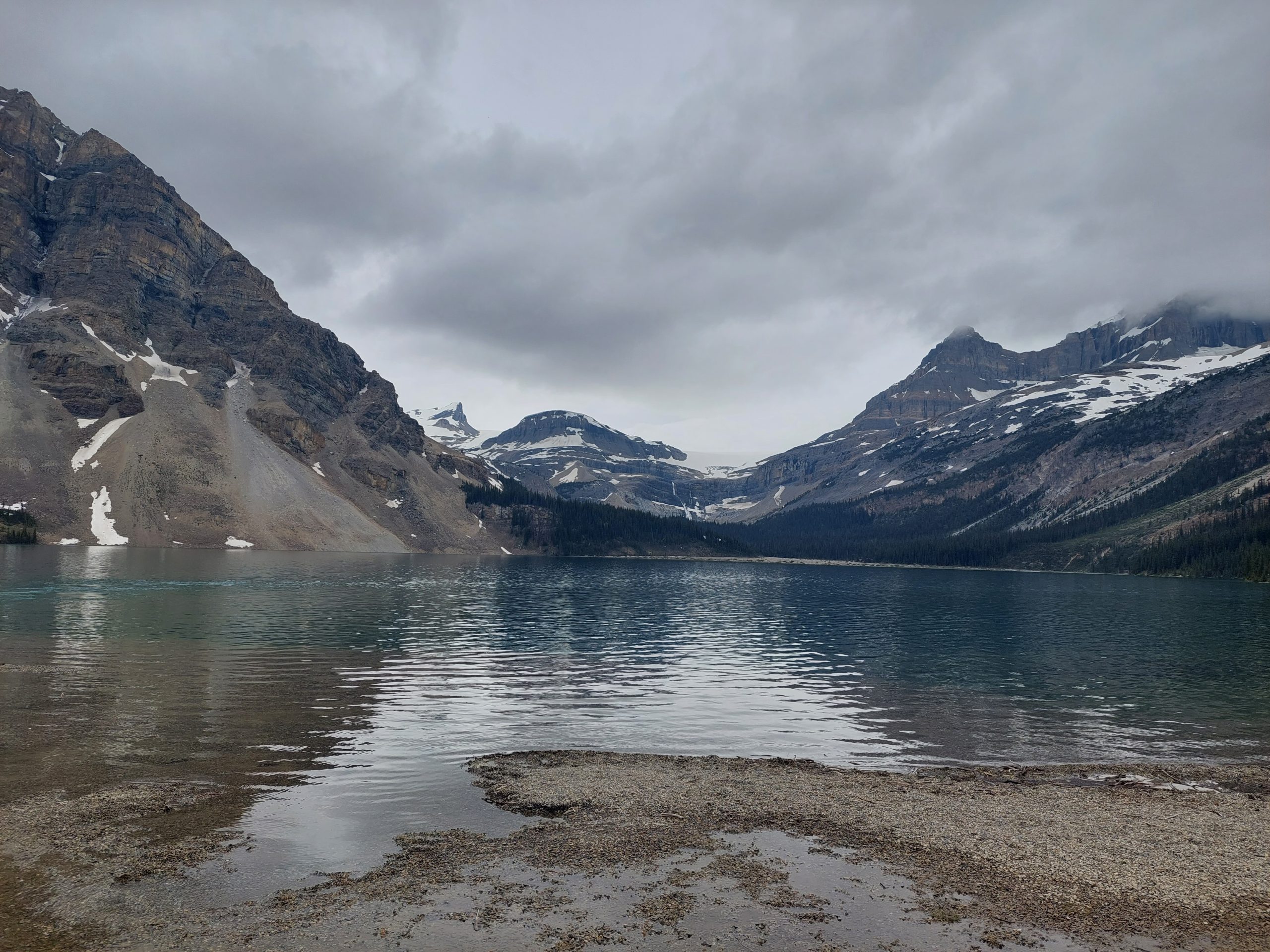
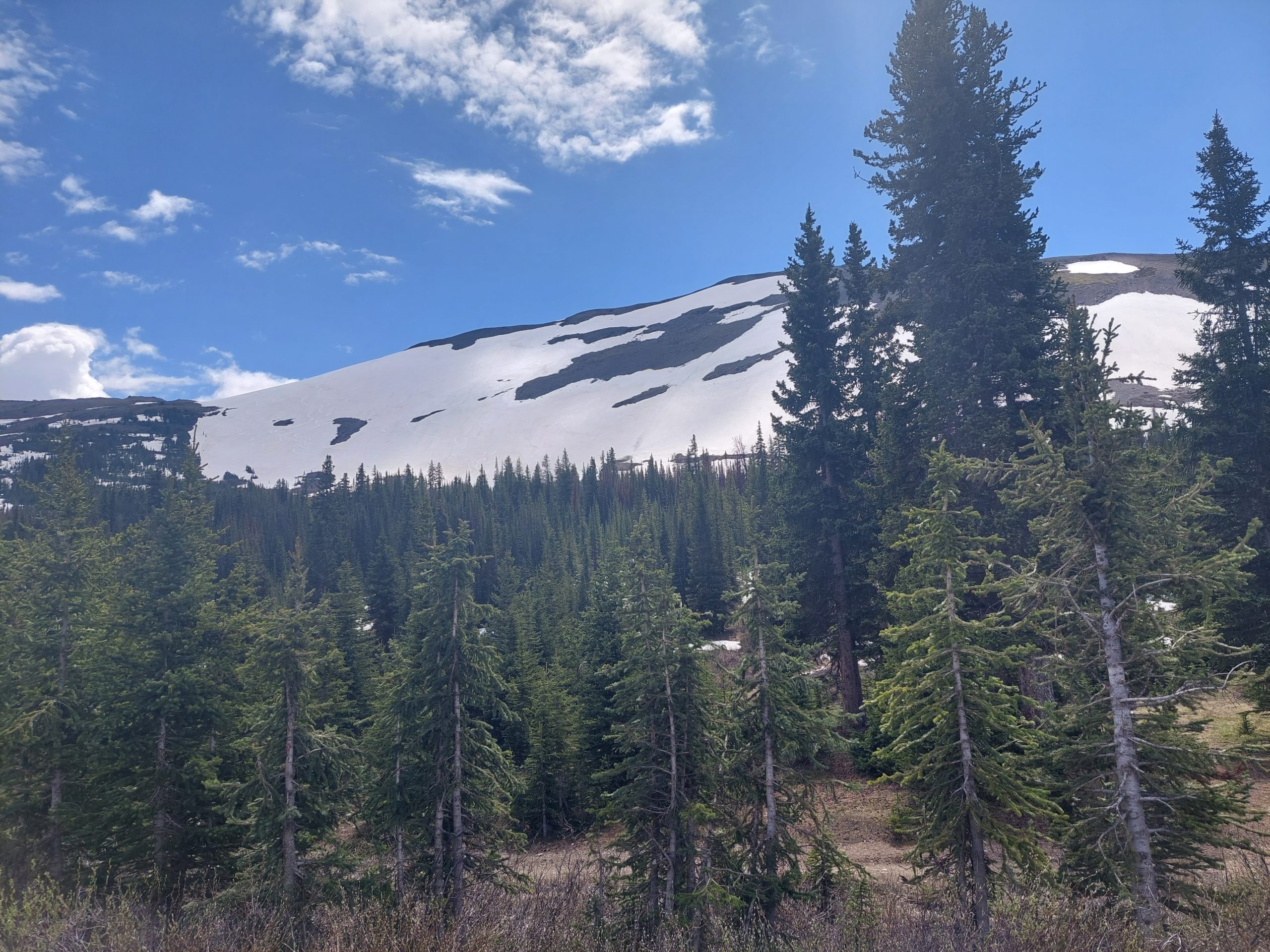
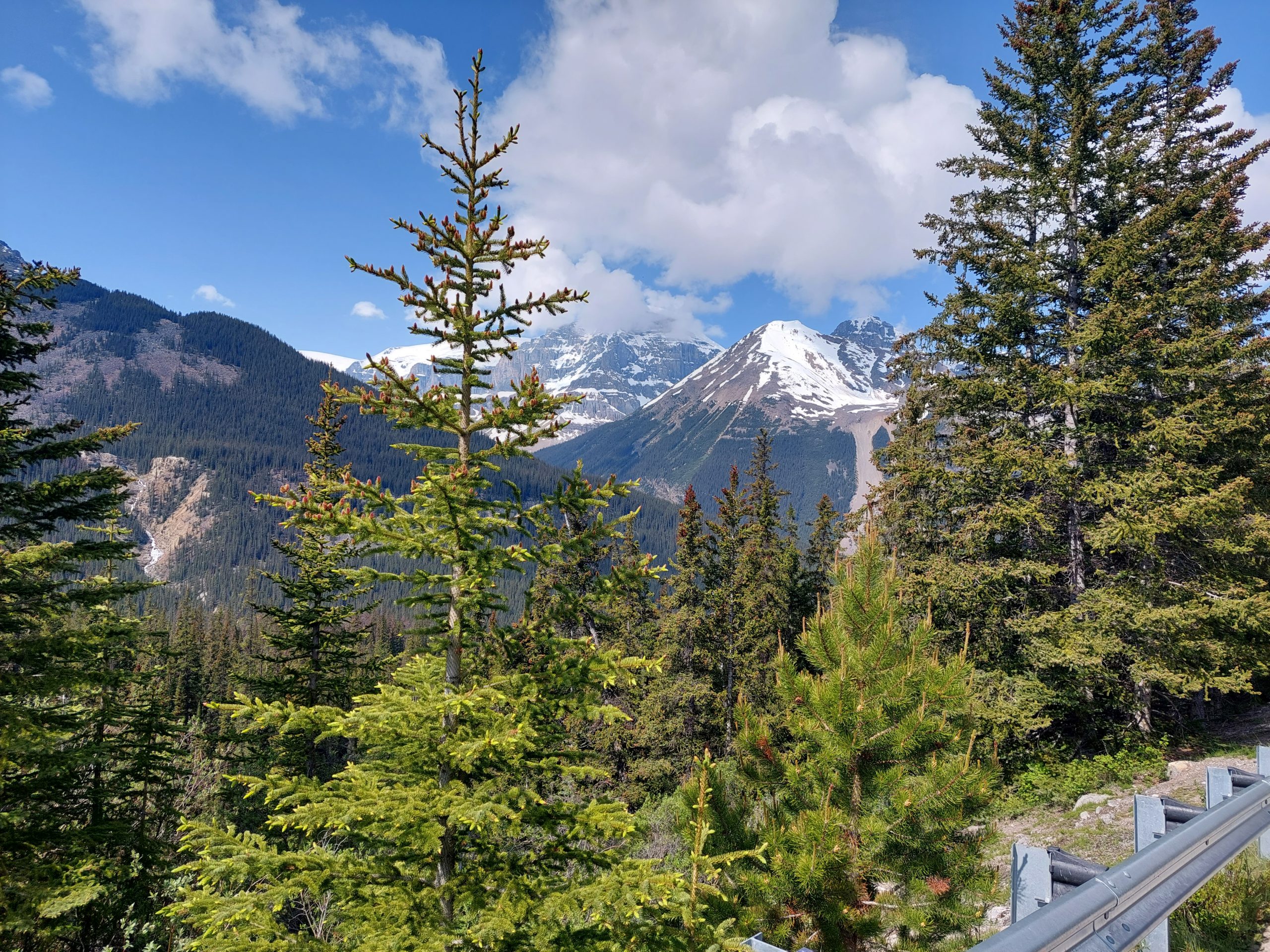
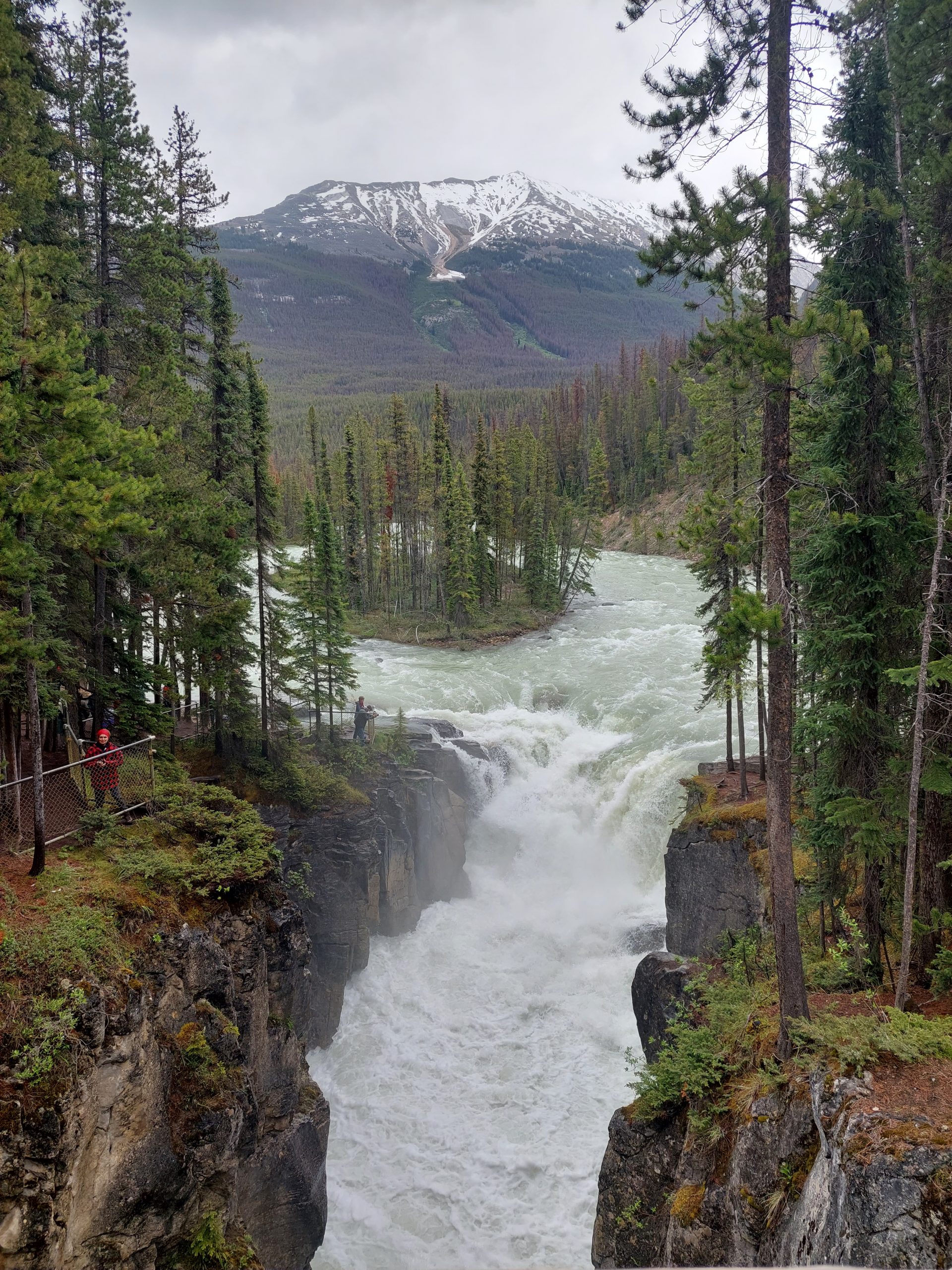
We were getting pretty good with our routine by this point: we got up, ate, packed our stuff, and once again hit the road. Today would be the climb over Bow Pass, the last major climb of our trip.
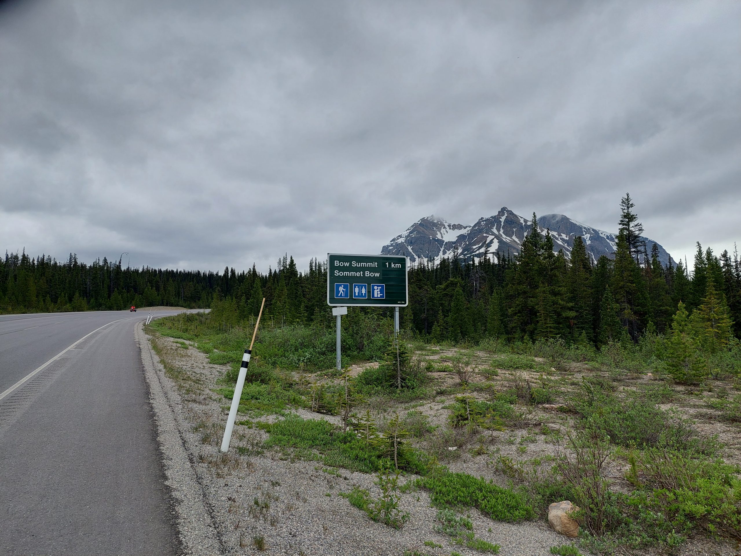
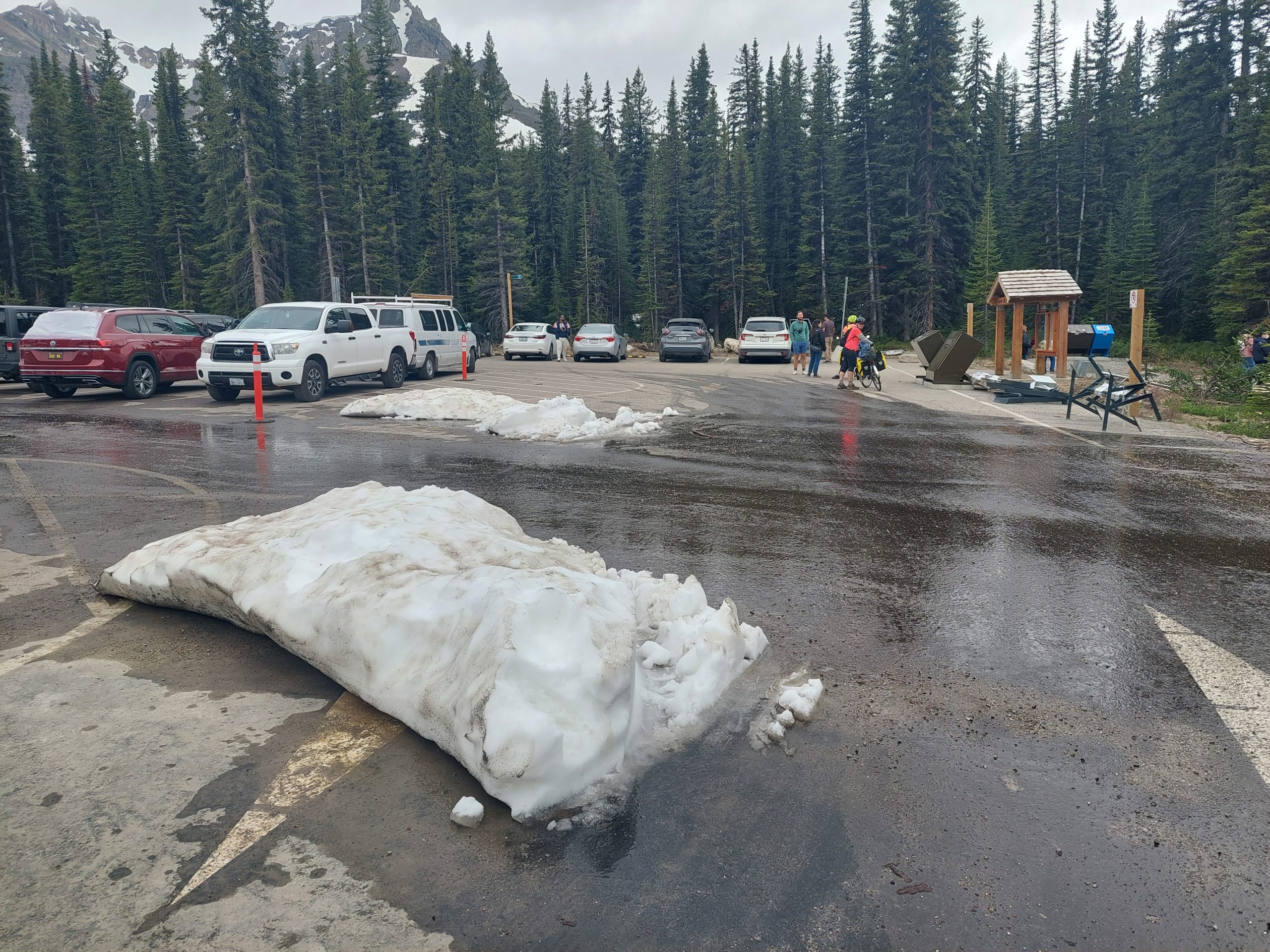
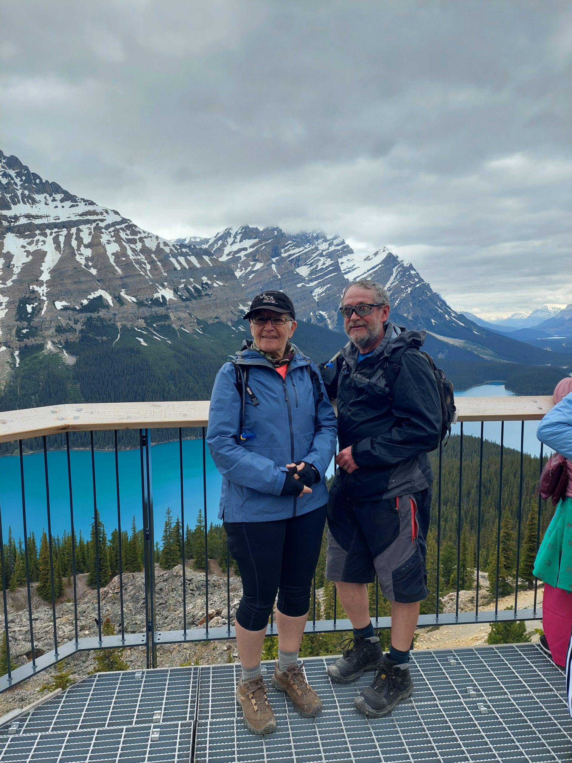
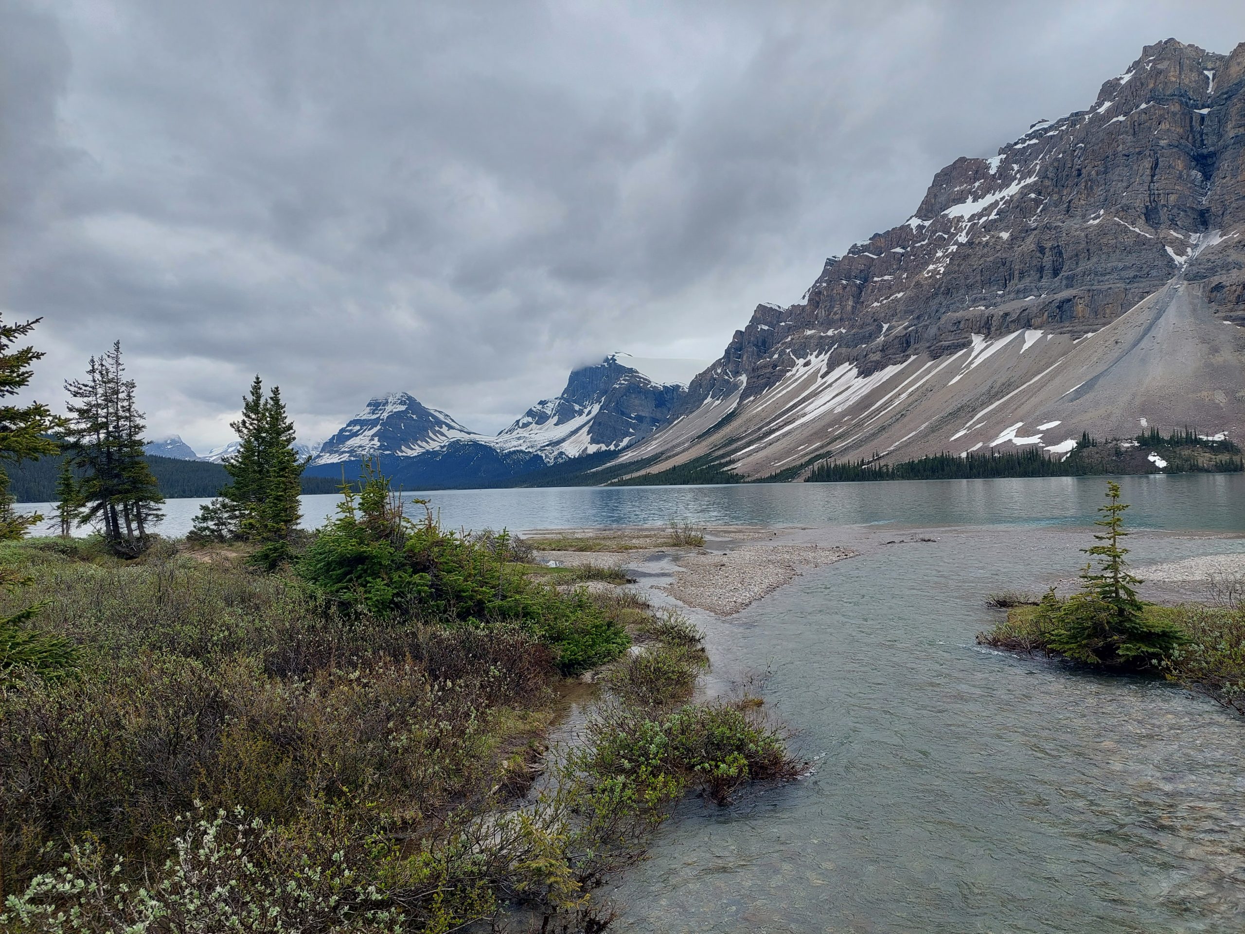
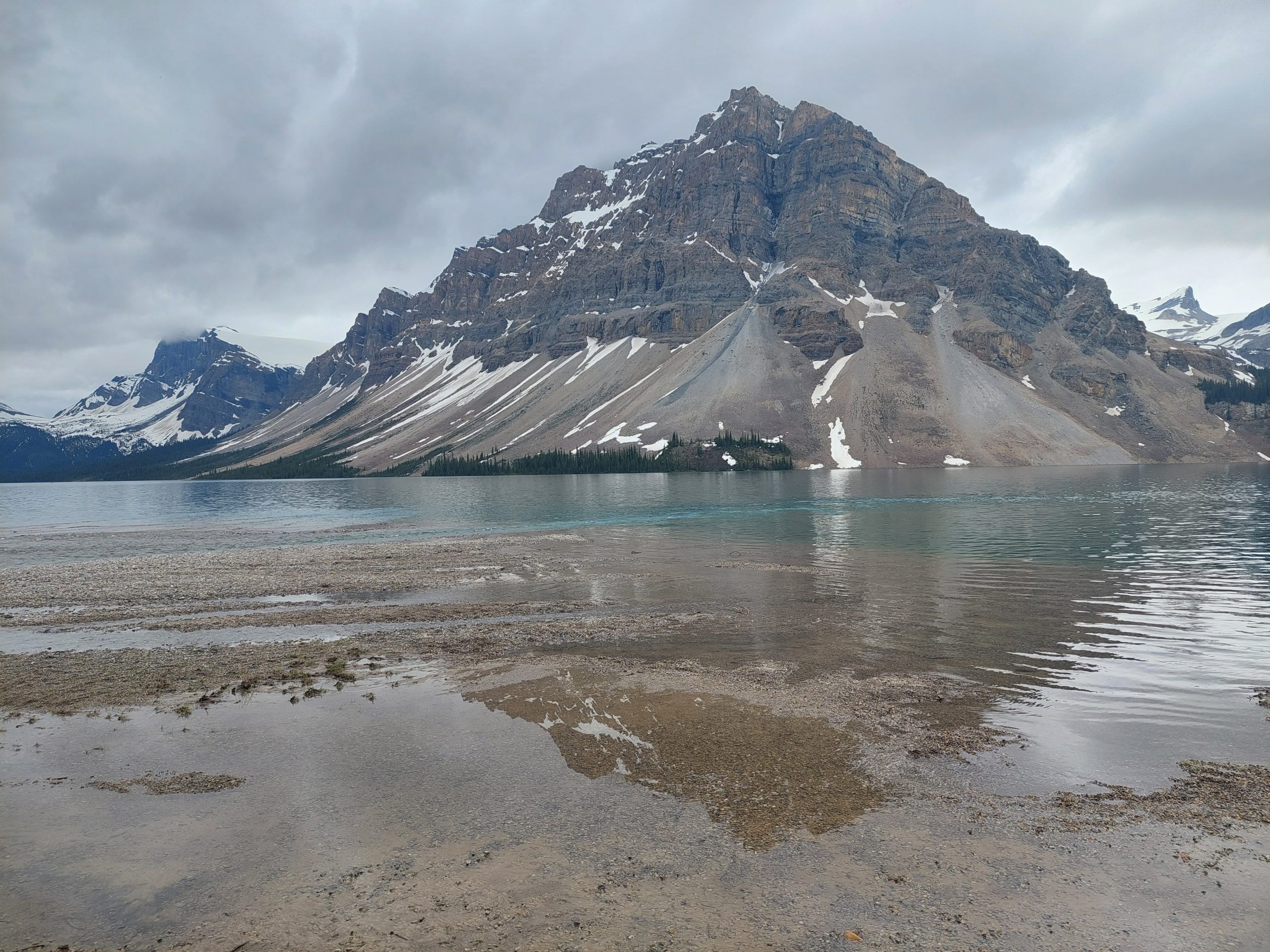
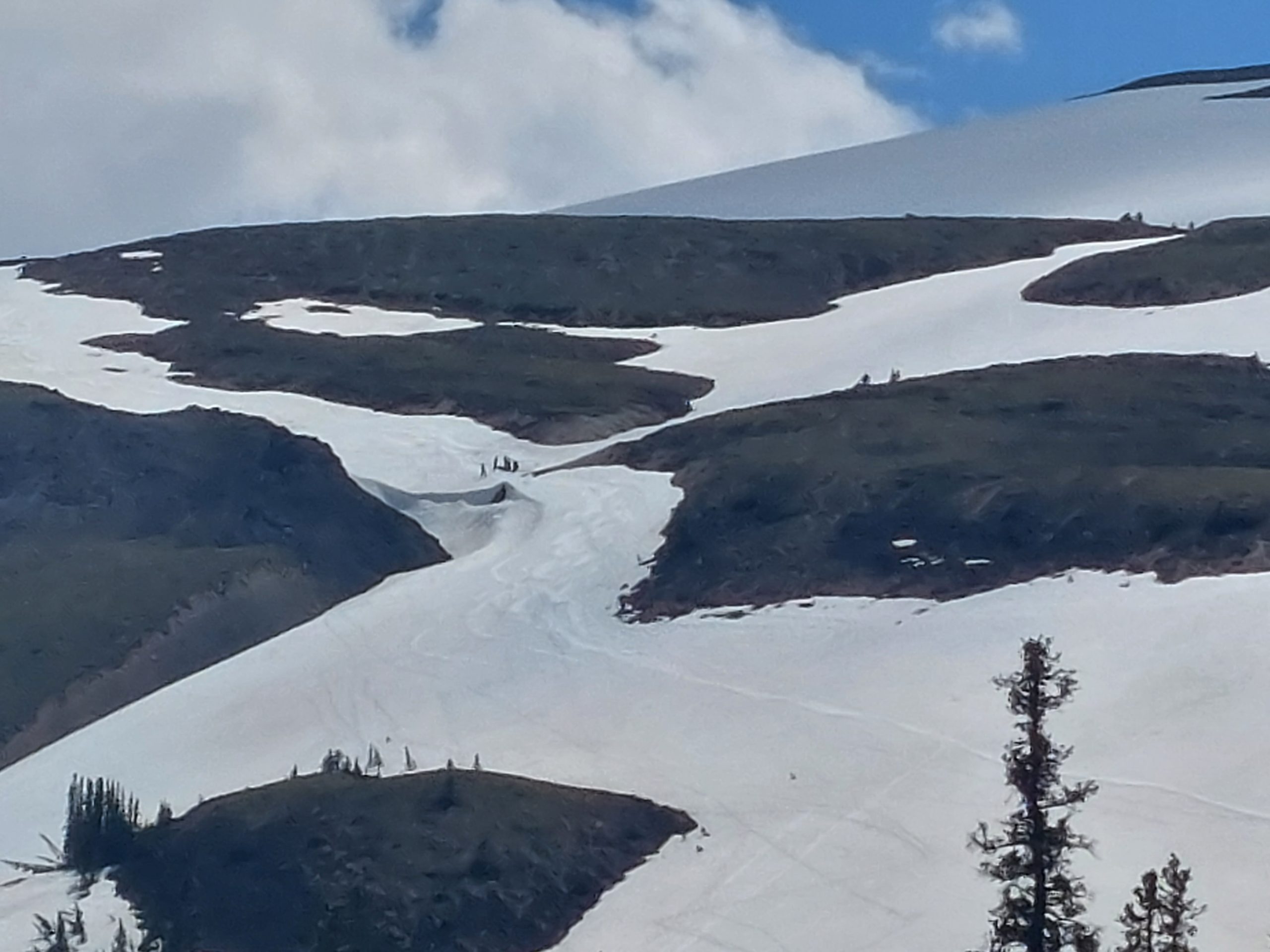
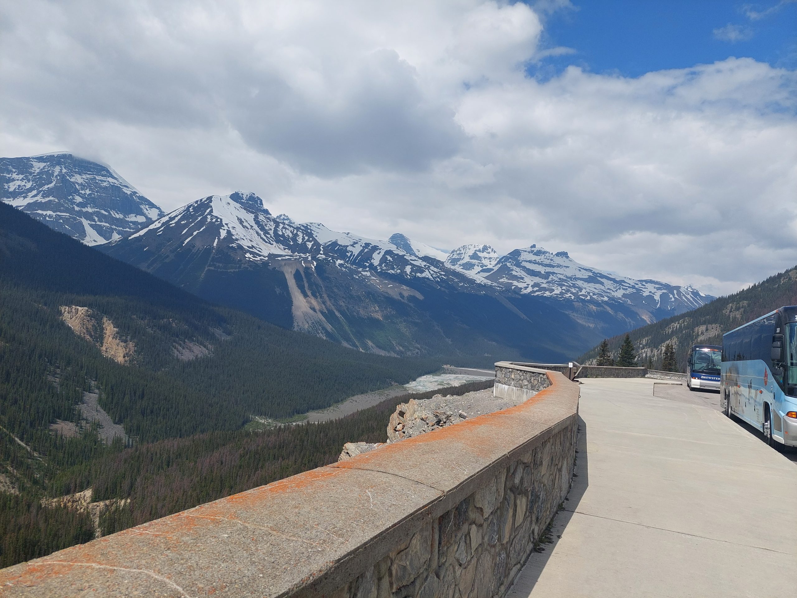
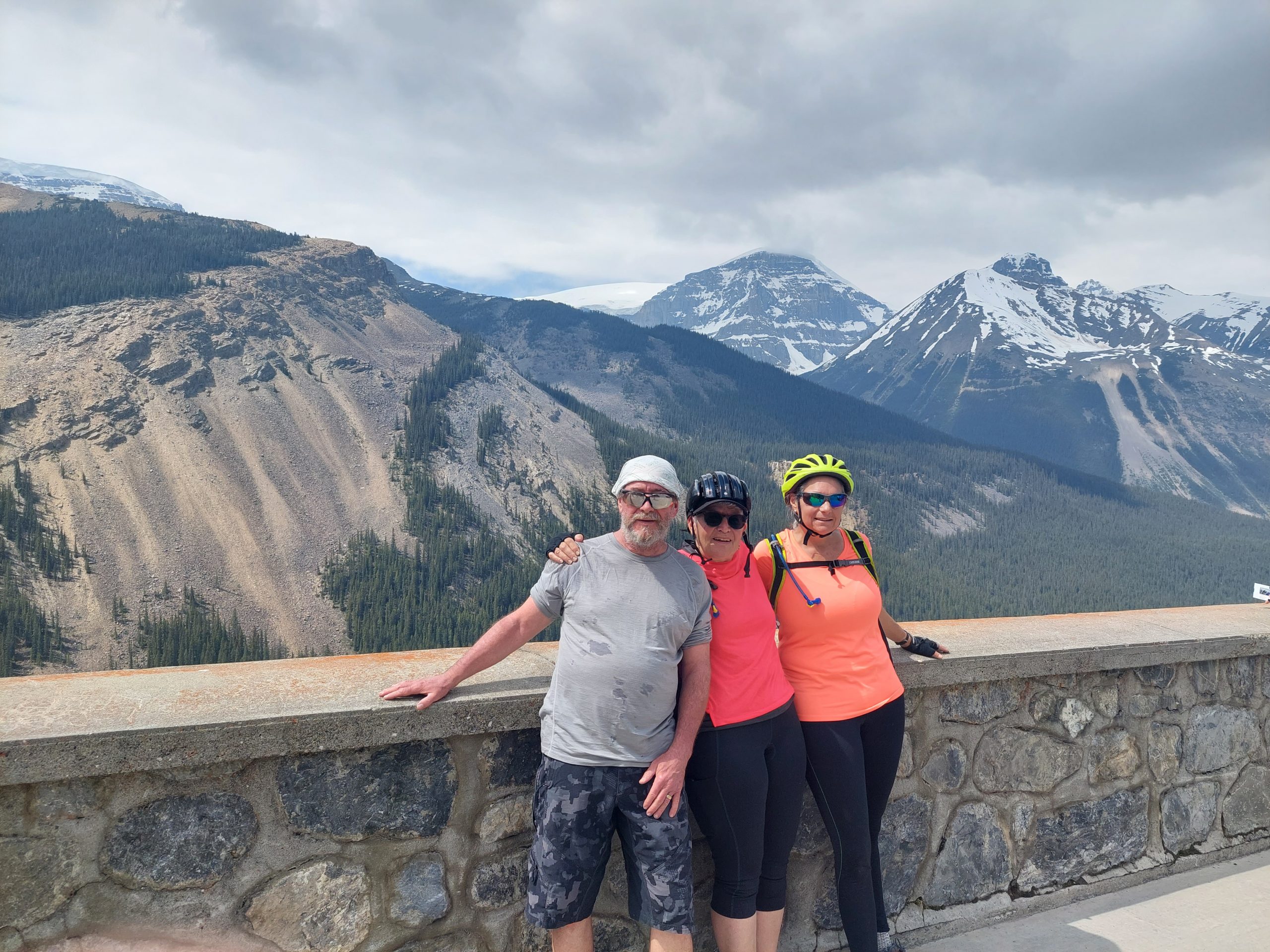
Bow Pass, while not as difficult as Sunwapta Pass, is actually the highest point on the Parkway — and when we got to the top, we made a right and climbed some more, to the parking lot at Bow Summit. From there we hiked to the Peyto Lake Overlook.
Cloudy MountainGetting Closer
Anne At The Top
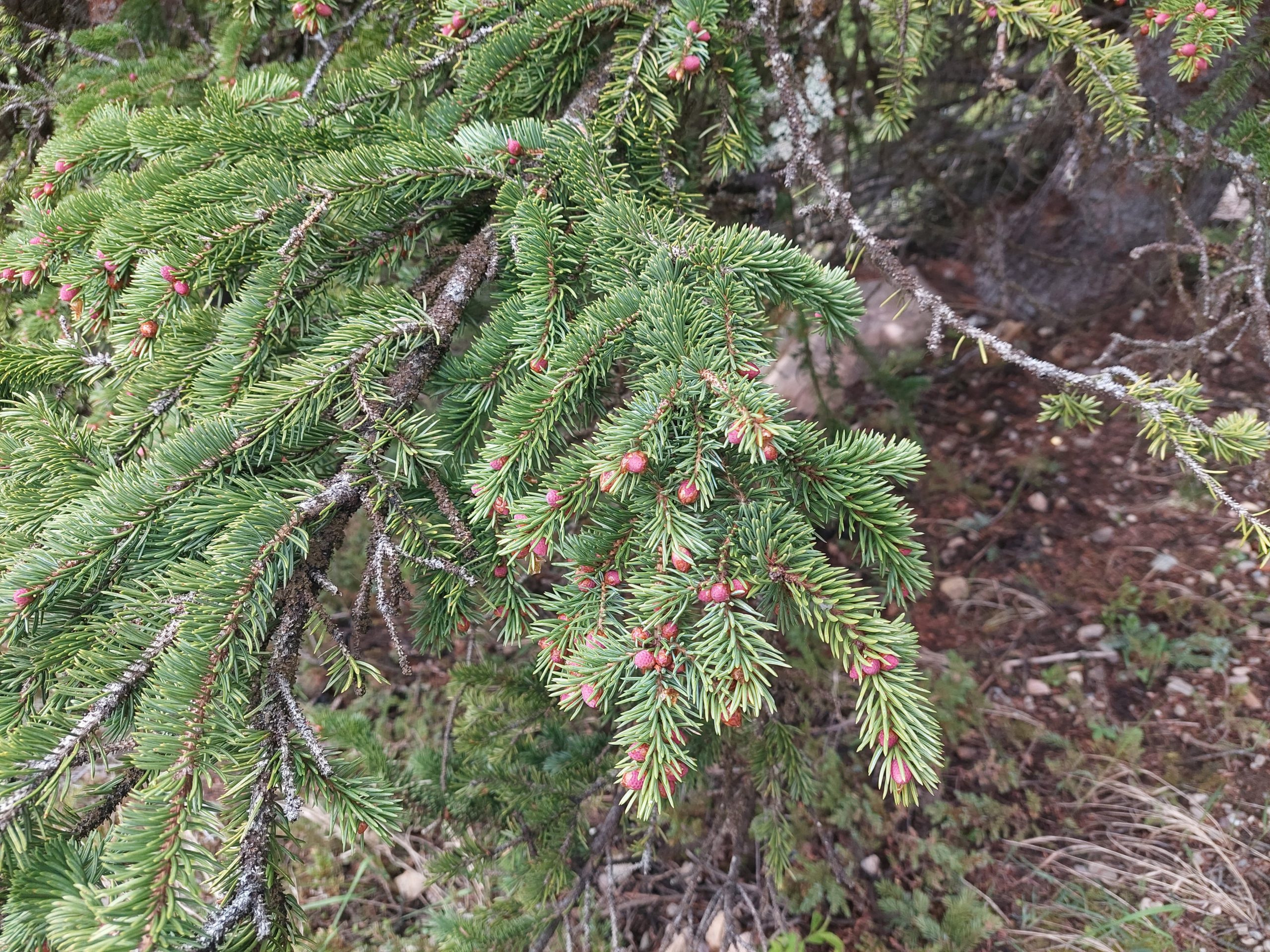
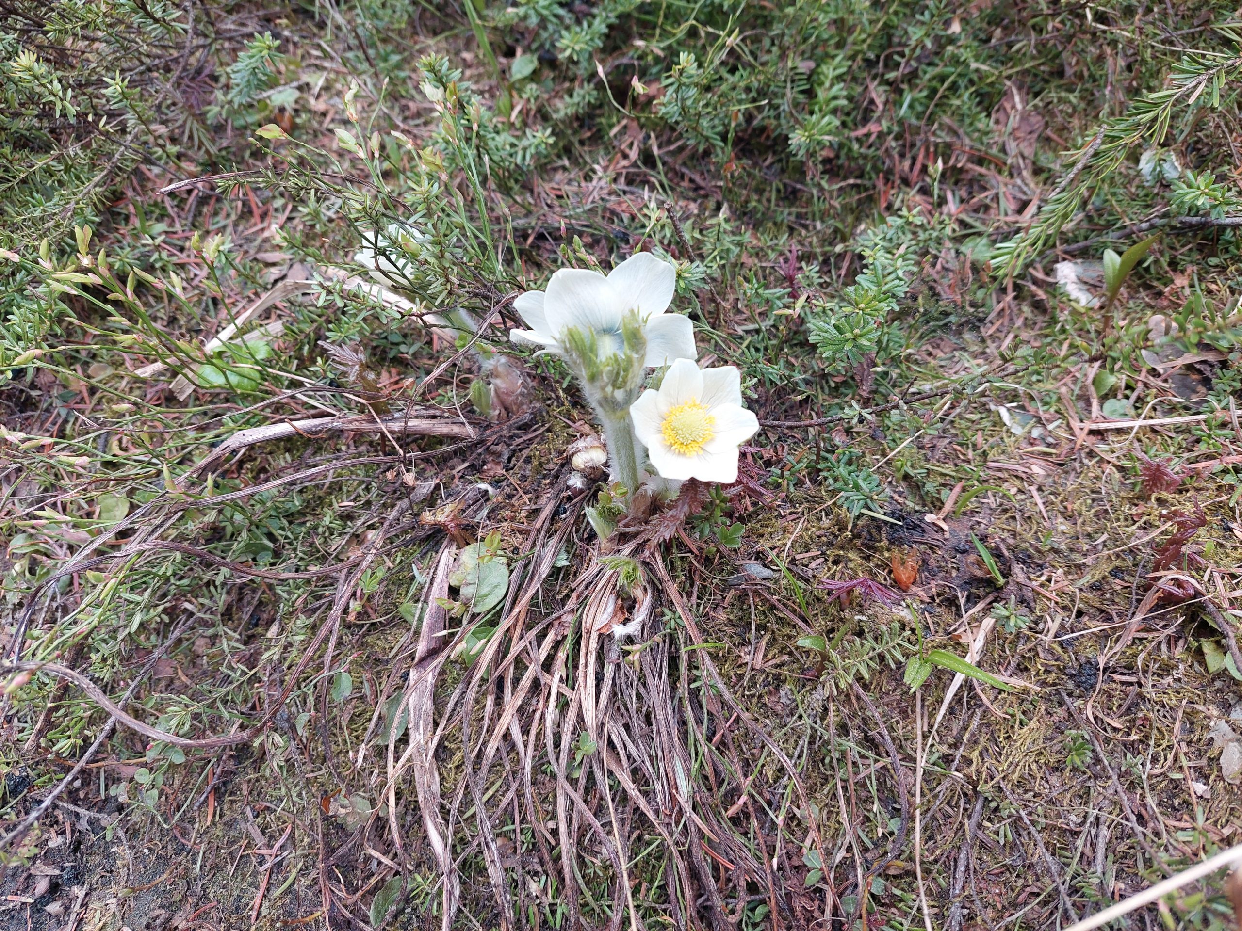
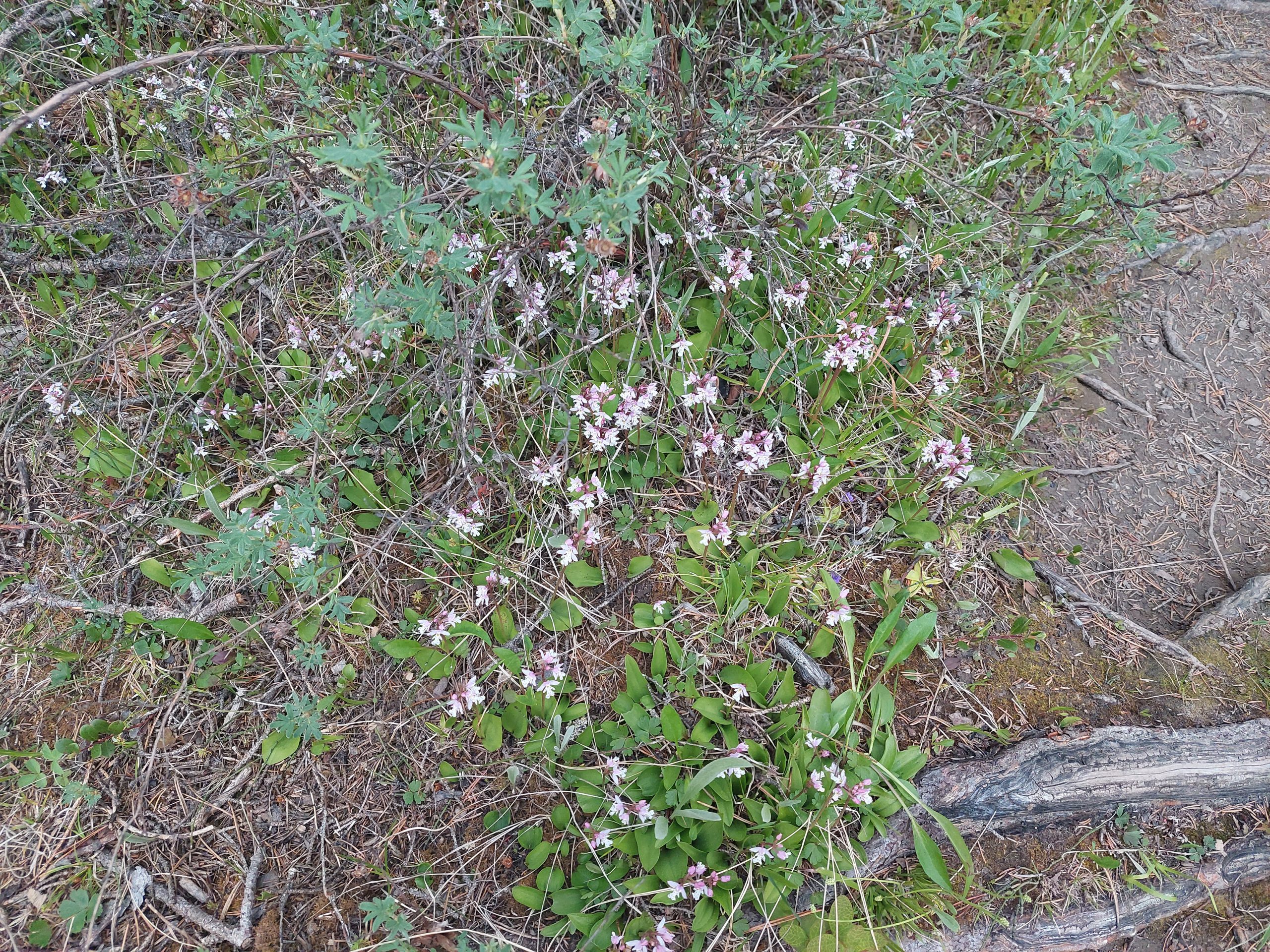
Even HigherSnow In The WoodsMountain FlowersMountain Flora
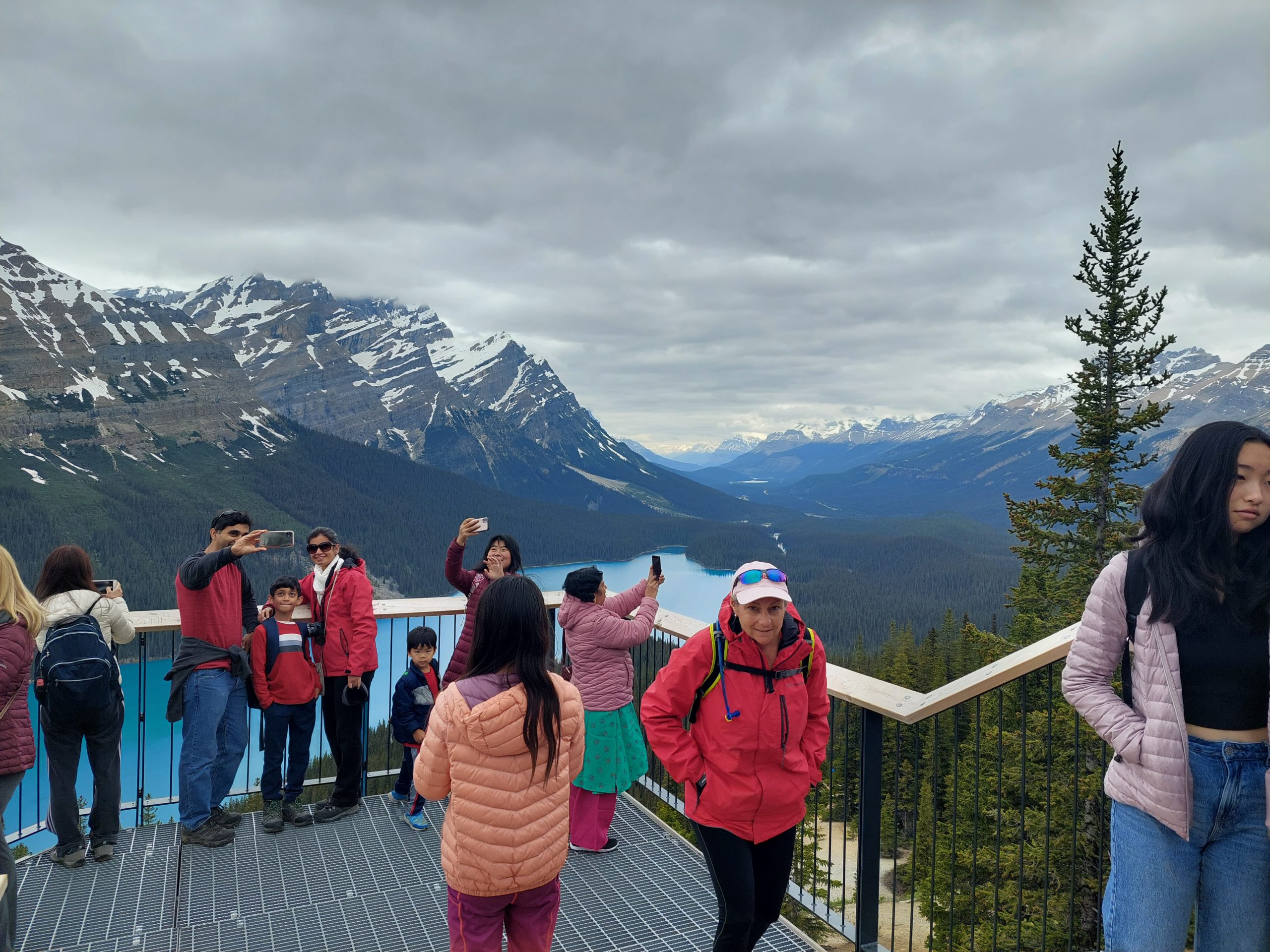
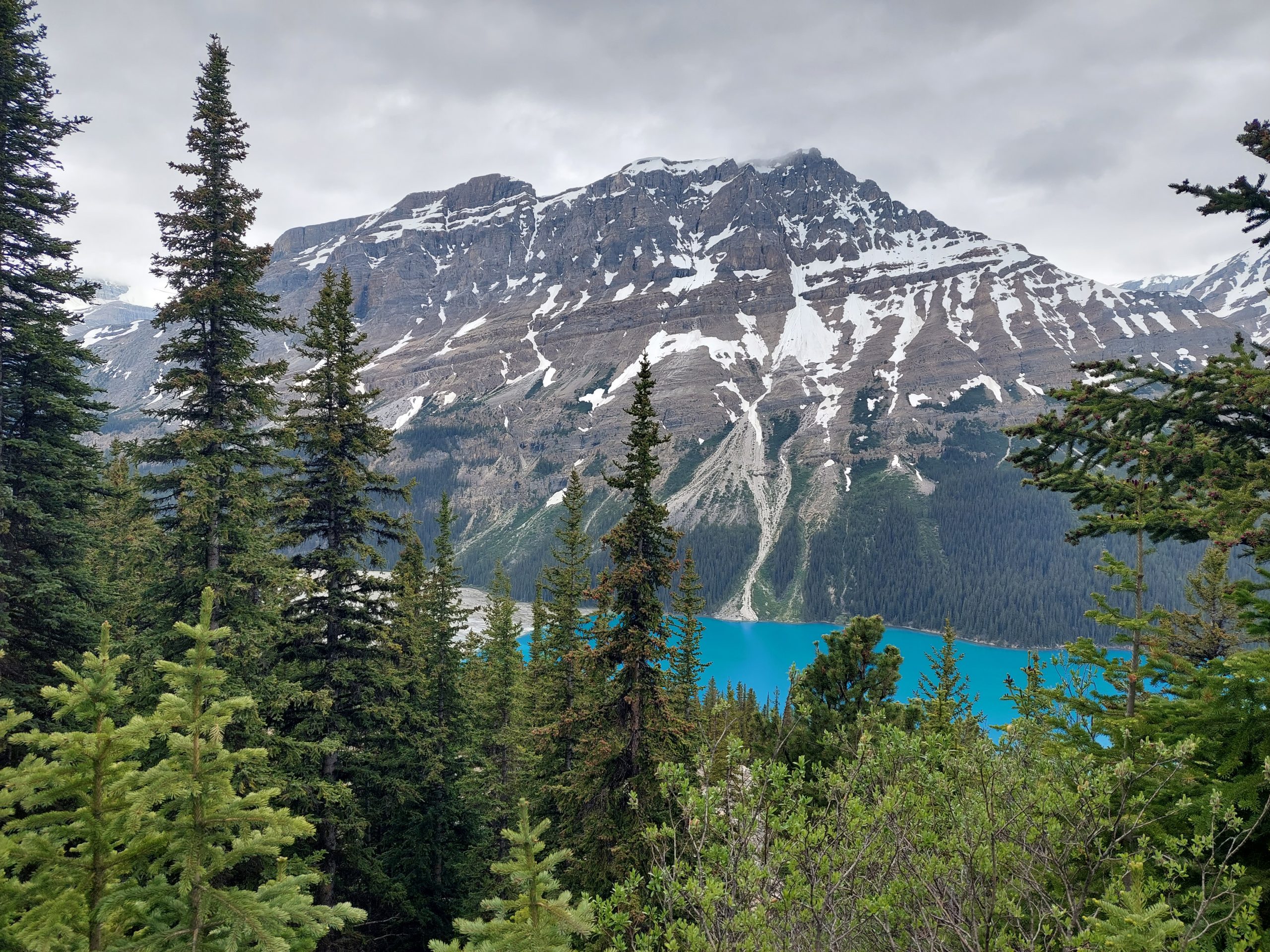
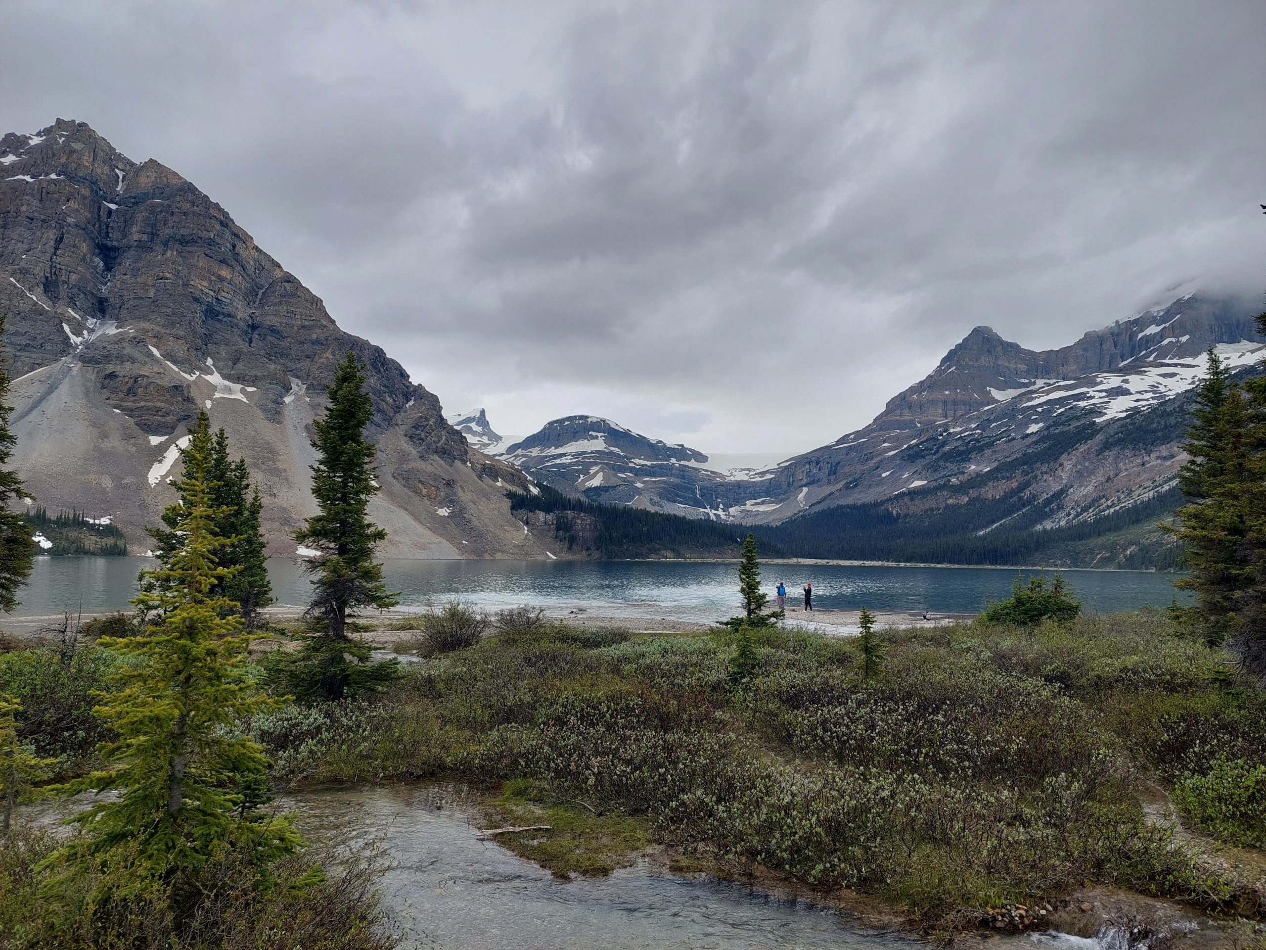
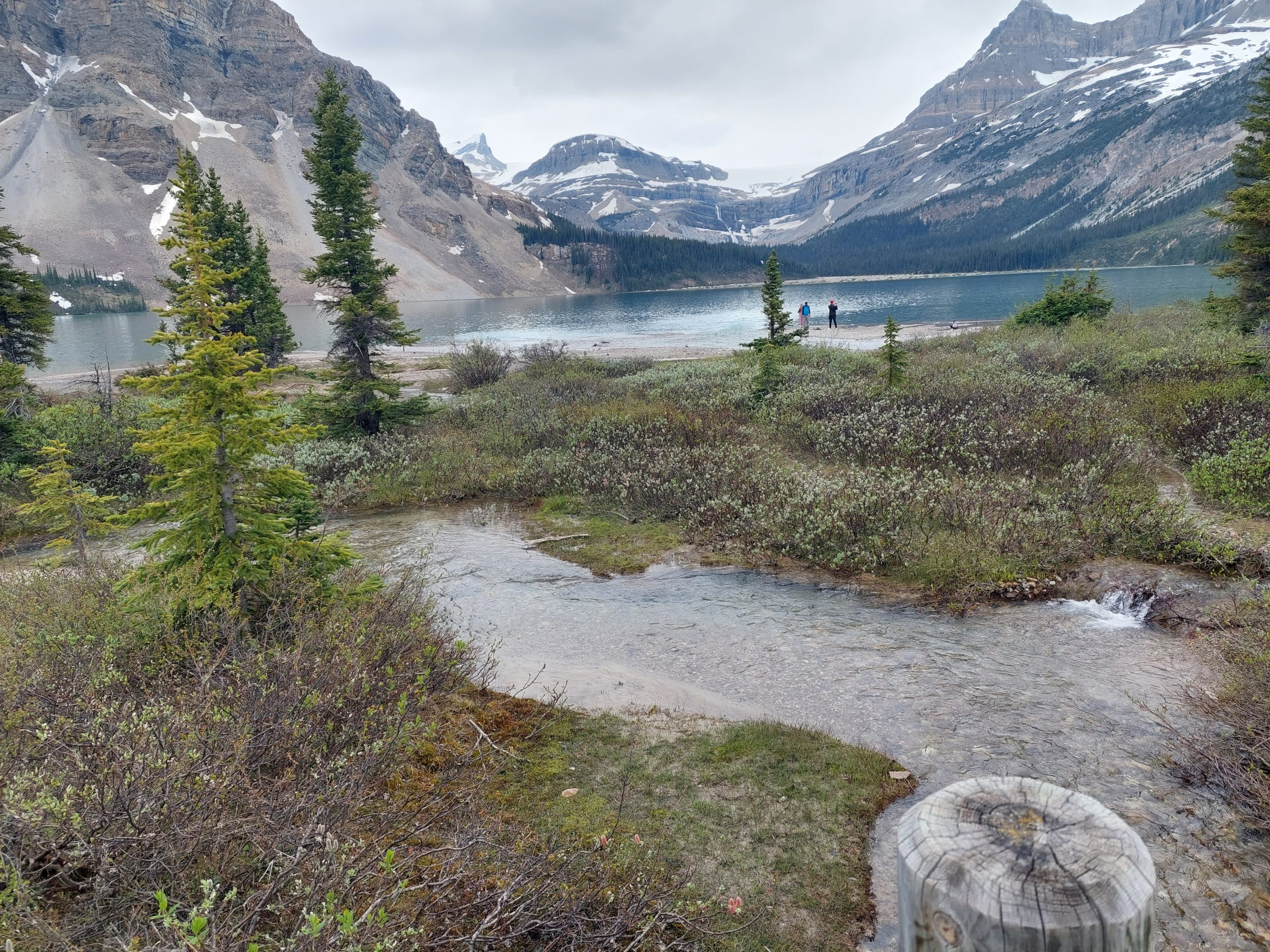
Peyto Lake
This took us completely by surprise — we had no idea what we were hiking up to, except that there would probably be some kind of vista at the top. And there was a vista all right, probably one of the most beautiful sights I’d ever seen (so far — our trip wasn’t over), so amazing it didn’t even seem real.
Anne And Me
I got a few other photos:
The Observation PlatformAnne And JulieJulie At The OverlookPeyto lake
I even took some video, hoping that it would do the scene more justice, but even that didn’t quite capture it:
Bow Lake
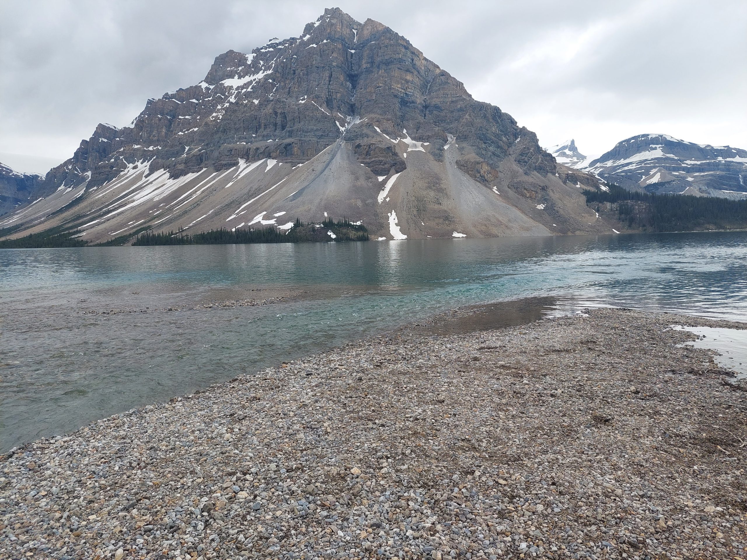
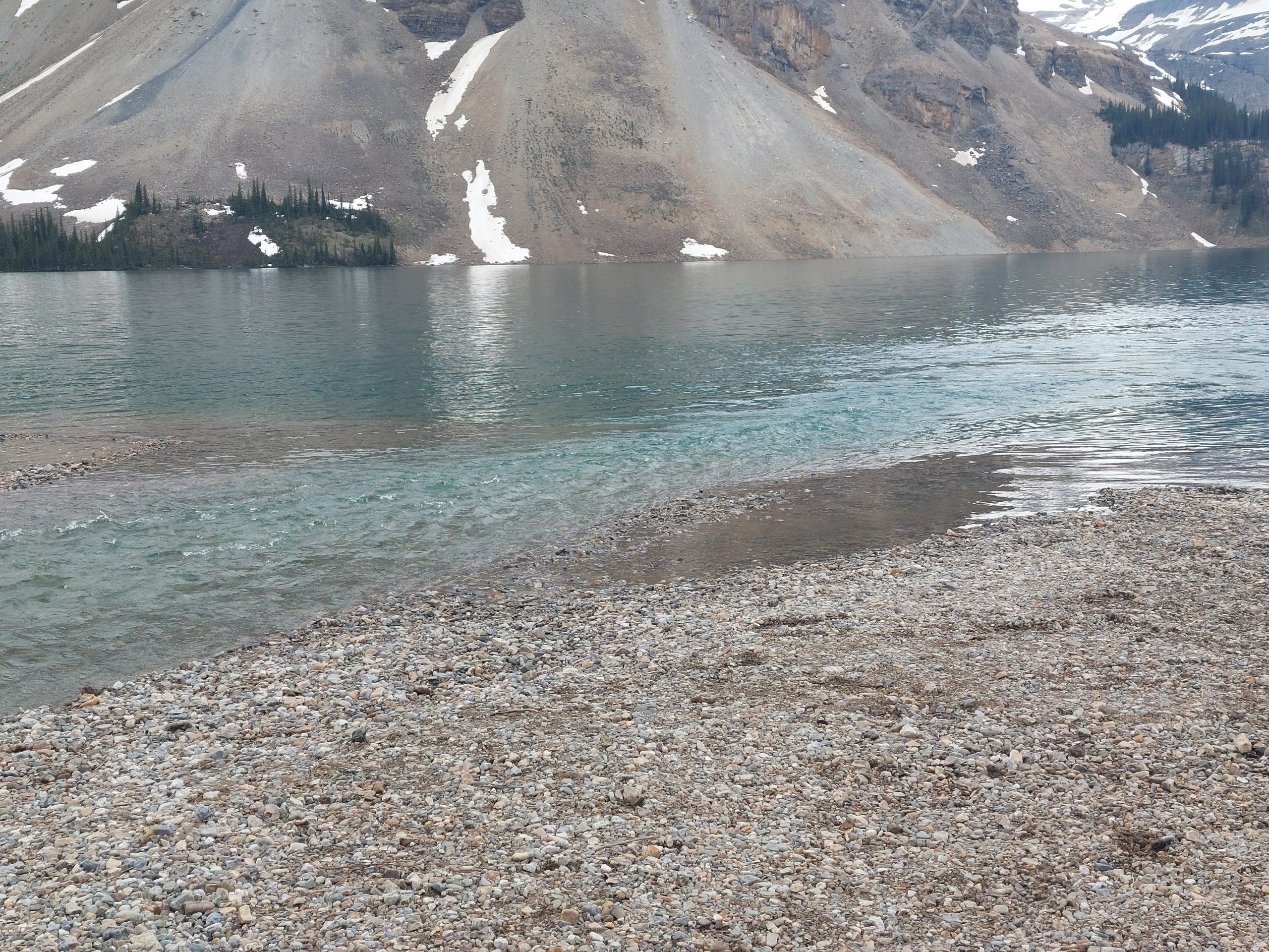
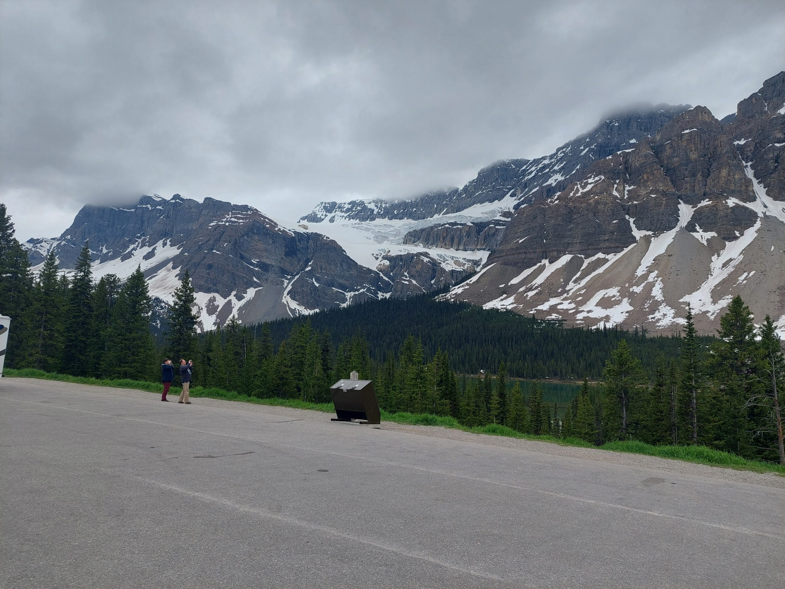
We continued on, downhill to our next stop: The Lodge At Bow Lake. This was listed in our guides as Num-Ti-Jah Lodge, but apparently that name was less than appropriate so they’d renamed it. They also were closed for renovations, but there was an outdoor dining area, and the kitchen/cafe was still open, so we came in and bought literally everything they had for sale. Sweet potato curry soup, sausage rolls (and a bunch more for later), potato chips and brownies (ditto), and coffee. We got our goodies and sat down to enjoy the view. Anne and I also took a walk while Julie finished her lunch.
Bow LakeBow Lake And Crowfoot MountainBow Lake And MountainsBow LakeBow Lake ResortAnne On The BridgeBow LakeMulticolored WatersWater And IceBow Lake: Multicolored WaterBow Lake And The StreamSentinels
Apparently the lodge cafe was open because they did an open-mic session on Sunday afternoon, but we’d missed it. Some guy came in and asked us if the guitar player had come and gone, and we replied that we hadn’t seen anything so we expected that it was all over for the day. Remember this guy…
Mosquito Creek Hostel
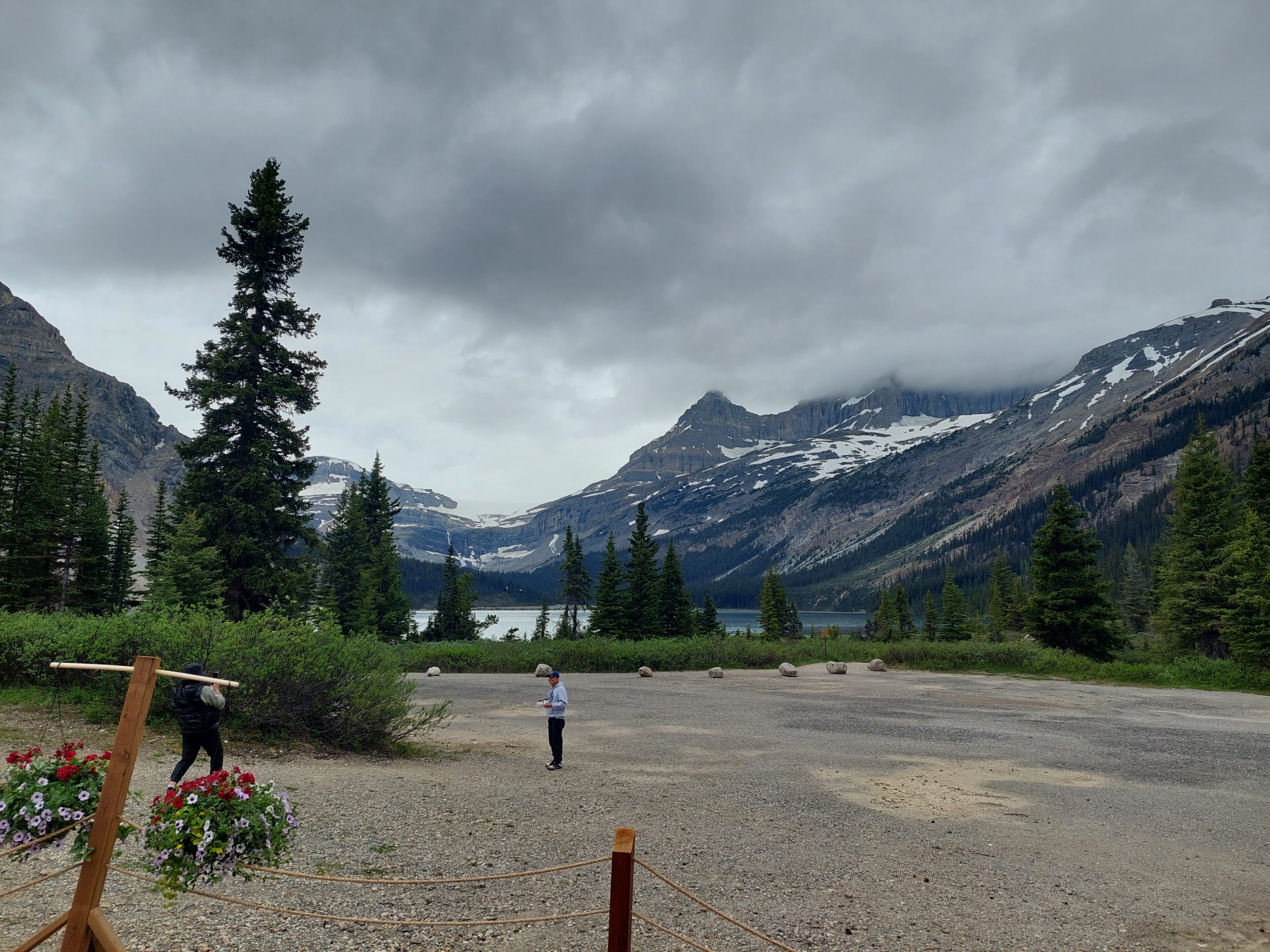
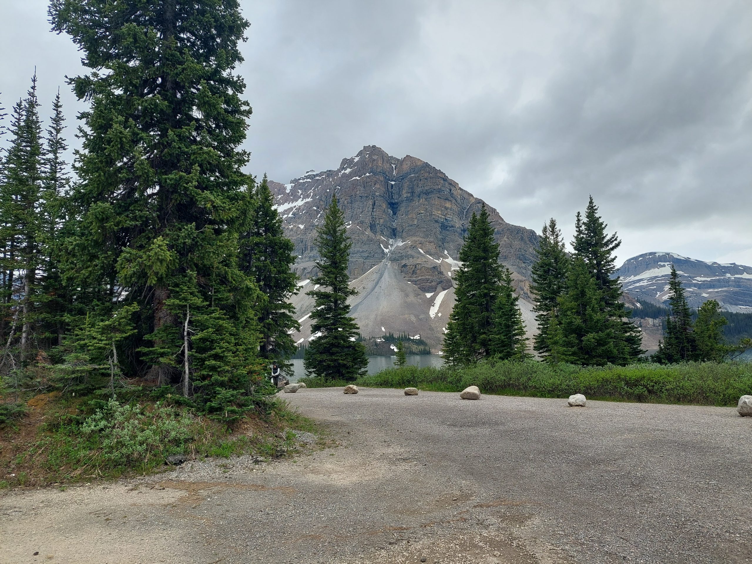
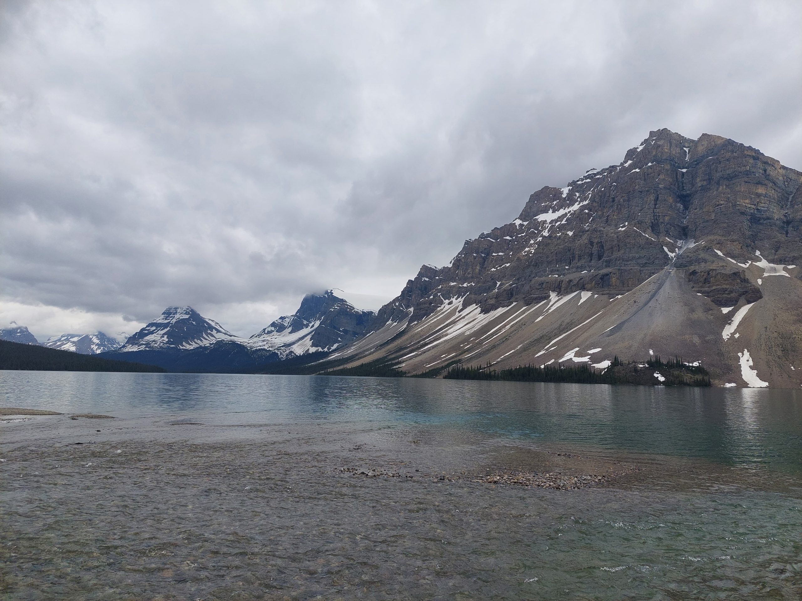
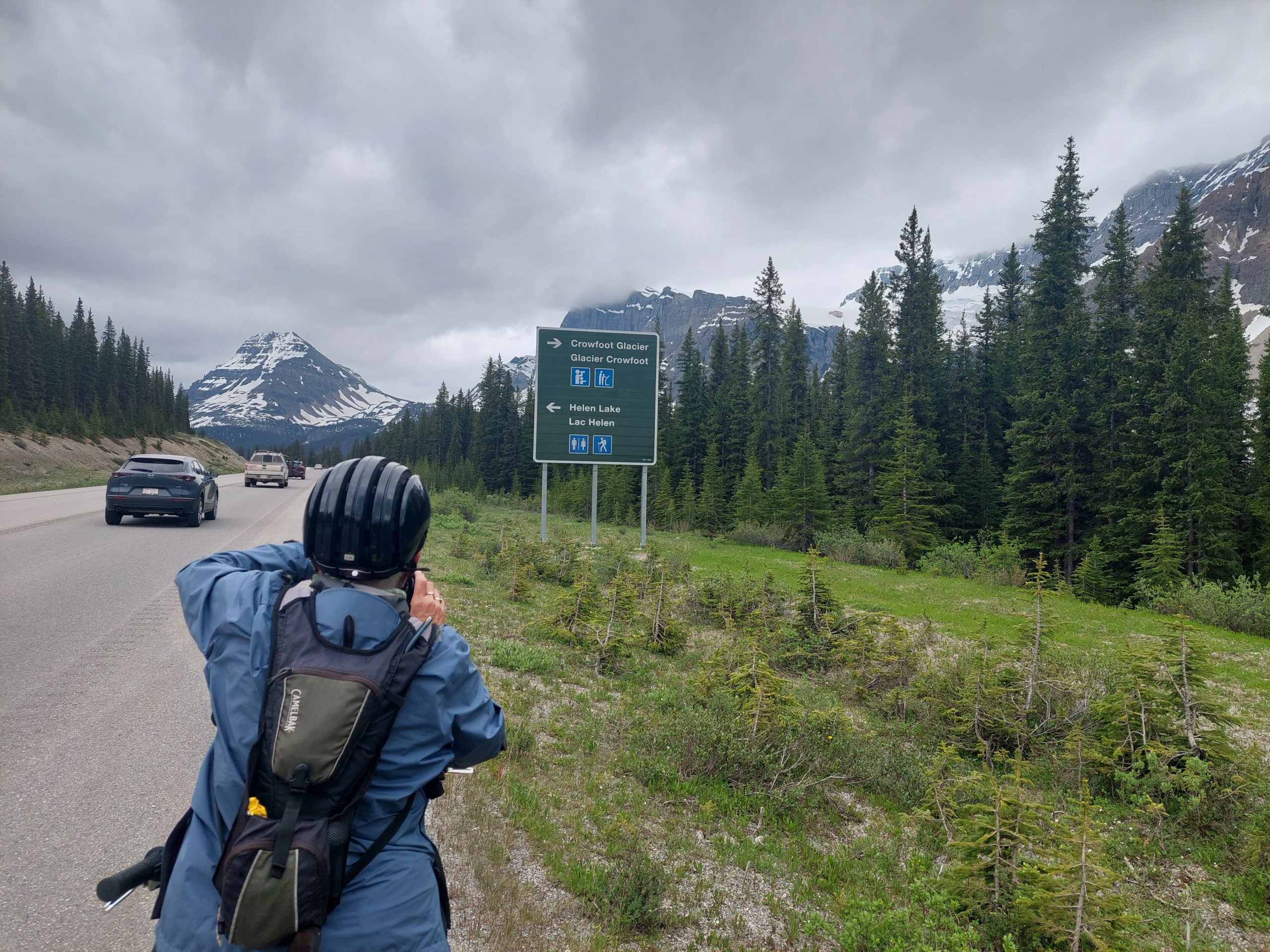
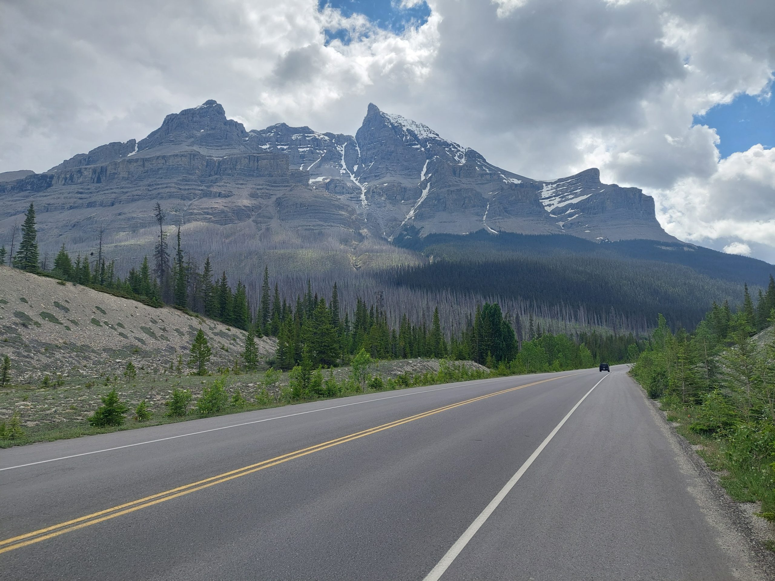
Our final stop for the day was just a little further down the hill. We got back on the road, stopping one last time to check out Crowfoot Glacier, which we’d heard about from our friends back at Waterfowl Lake.
Helen LakeMore MountainsCrowfoot Glacier
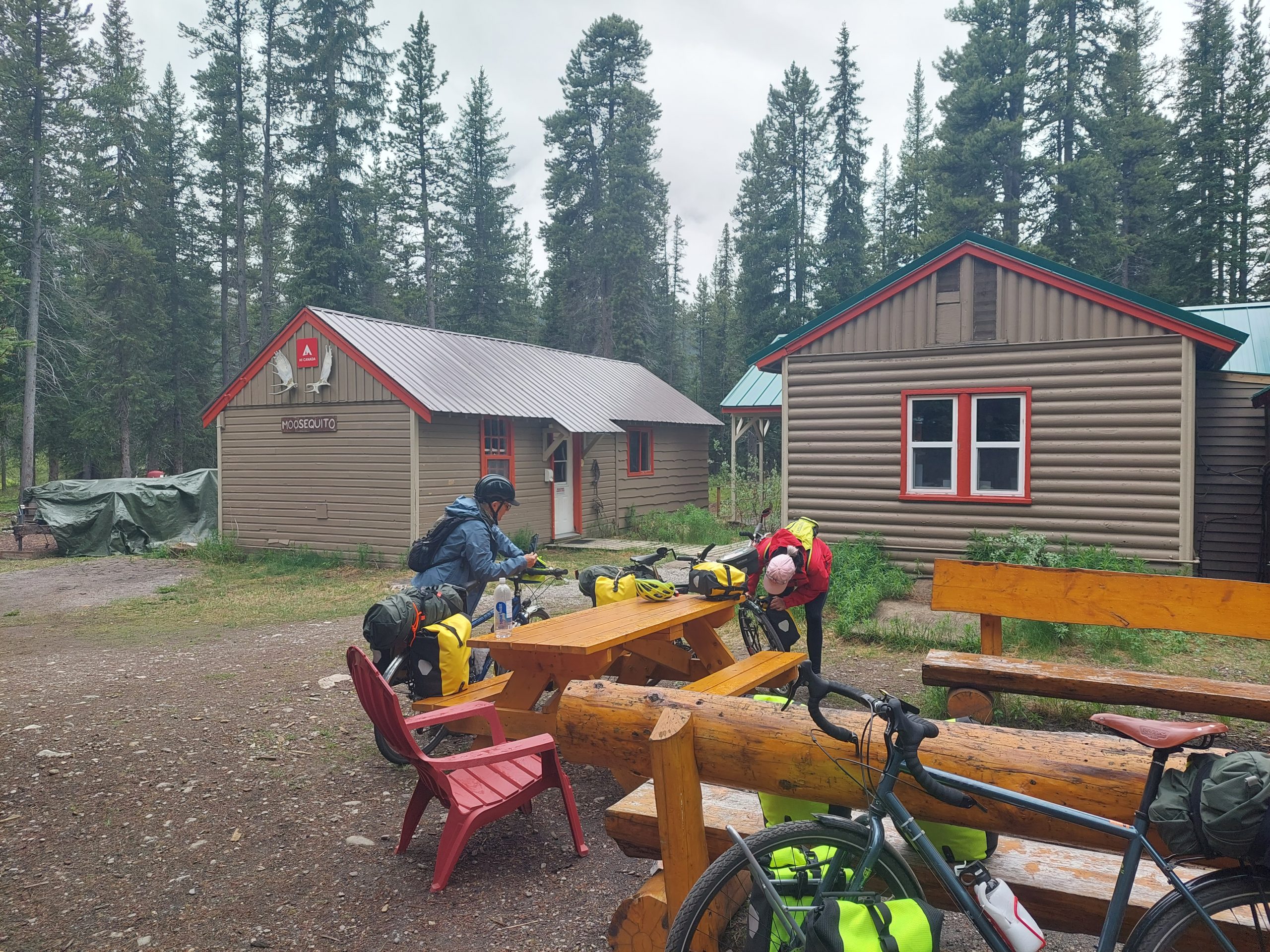
And so on down the hill… Our plan was to stay at Mosquito Creek Campground, but the weather was starting to get nasty, and Julie was feeling the effects of our earlier elevation adventure, so we decided to try getting some bunks at the Mosquito Creek Hostel next door. We pulled in early, maybe an hour before they opened, and eventually found the manager. Remember that guy from the lodge? It was him, and he told us “actually we’re full, but come on in to the main room and stick around, and I’ll see what I can do.”
At Mosquito Creek
Well, it turns out that Tim the manager was an actual diplomat and environmental lawyer in a previous existence; he put forth some serious diplomacy, wheeling and dealing among the other guests, and eventually found space for us as well as some other unexpected late arrivals. Sweet!
Mosquito Creek was pretty nice, and we hit it off with the other guests around the dinner tables, in the sauna — the sauna! — and in the big common room. Anne especially bonded with Tim over their history as lawyers, and commiserating with him over the nasty bureaucratic infighting that led to the end of his career. (He was a decent guy, and it sounded like he found himself swimming with sharks.) Anyway, he still had all his skills, and he used them to do us a solid.
Unfortunately, Mosquito Creek was where I felt the first tinges of what became an allergy-sinus-ear issue, which lasted the rest of the trip and became a full-blown ear infection after our return. I’d been exposed to the wood burning sauna and the wood stove (particulates), and we were now coming down out of the icefields and into the local early spring (clouds of tree pollen), and my allergy bucket must have overflowed.
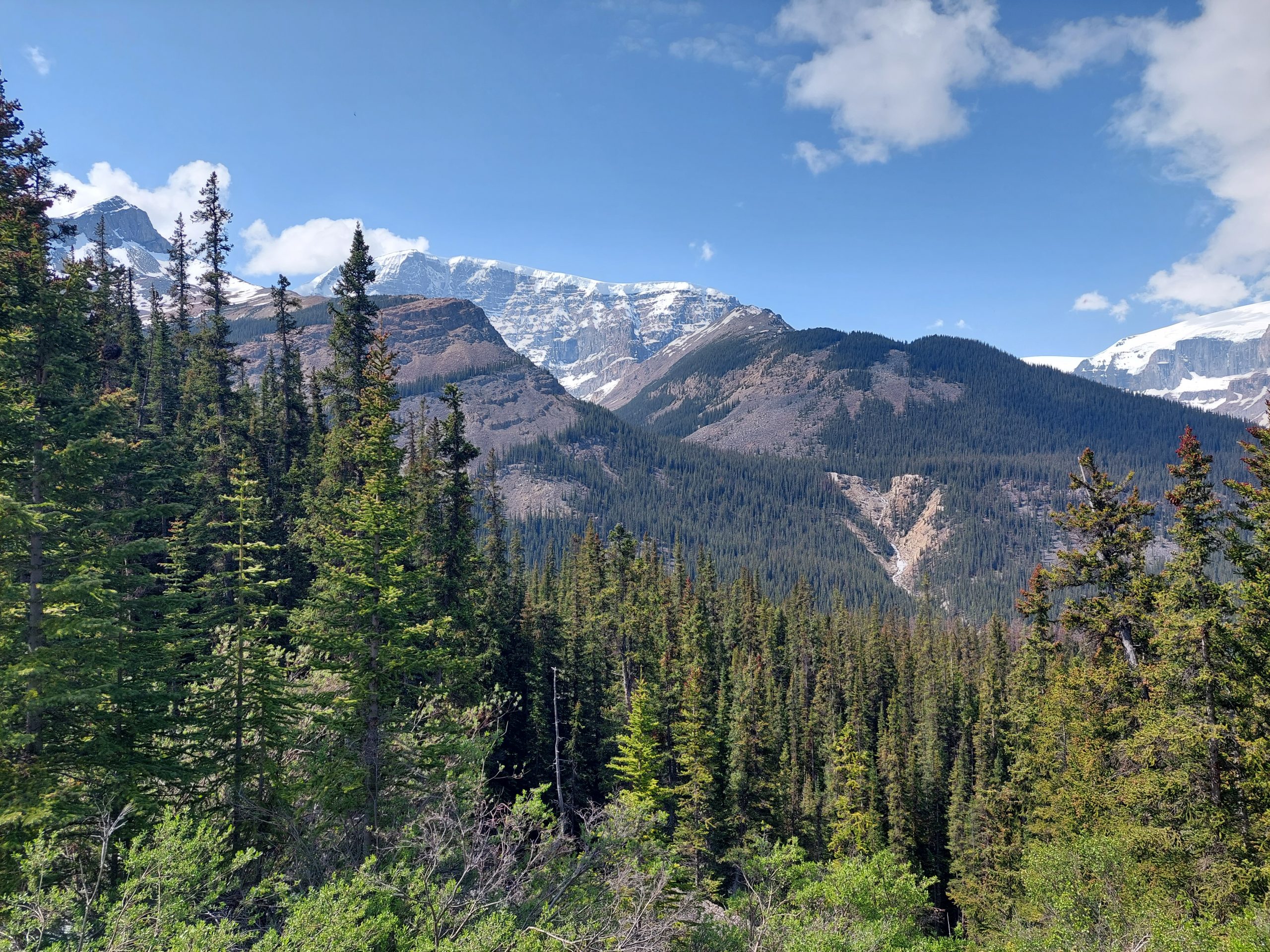
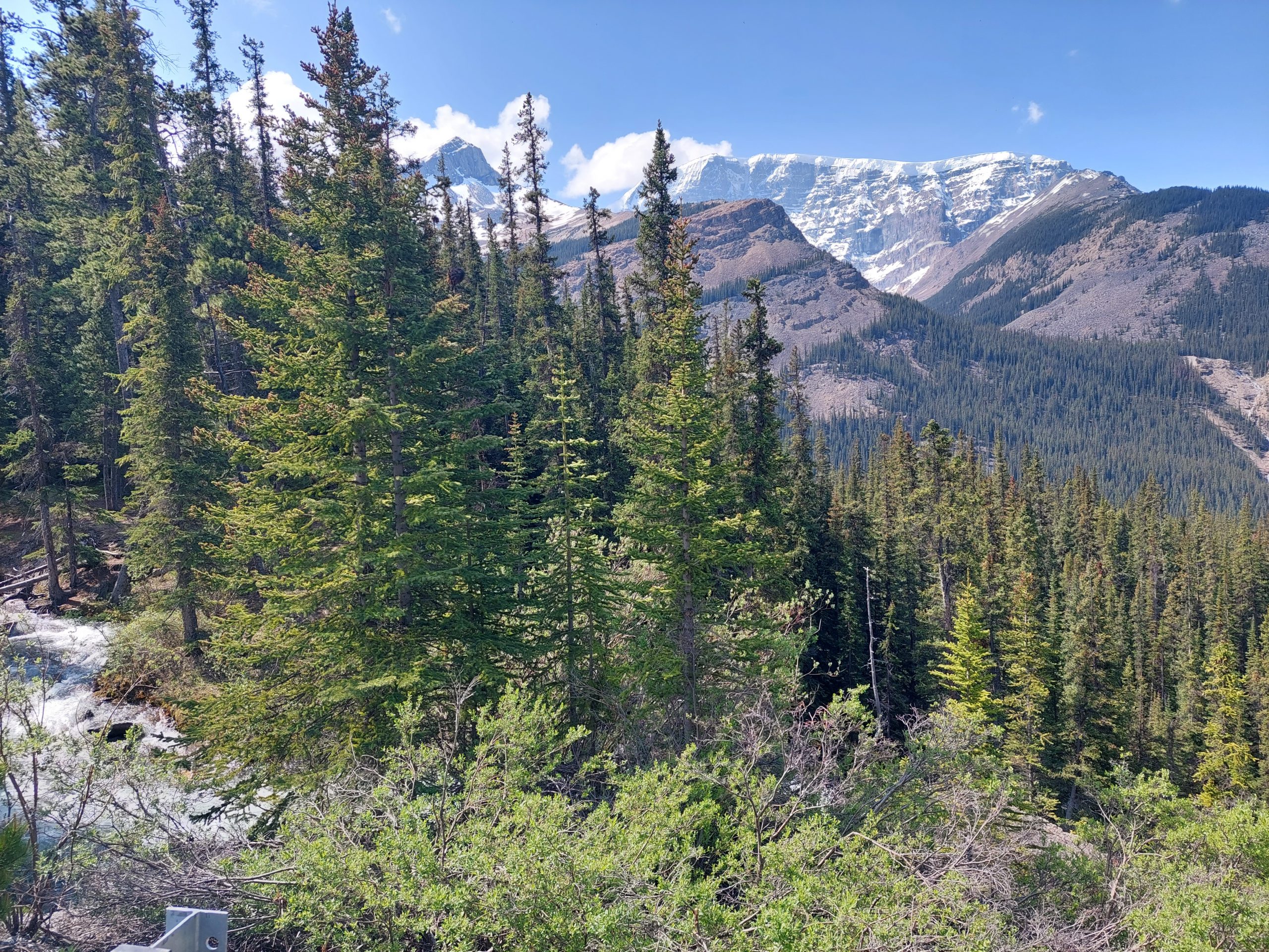
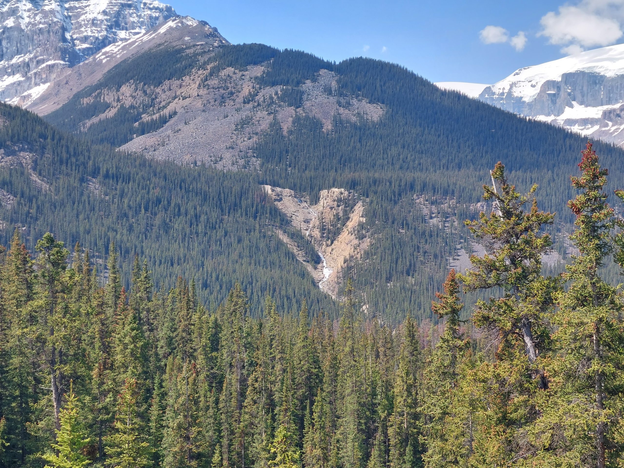
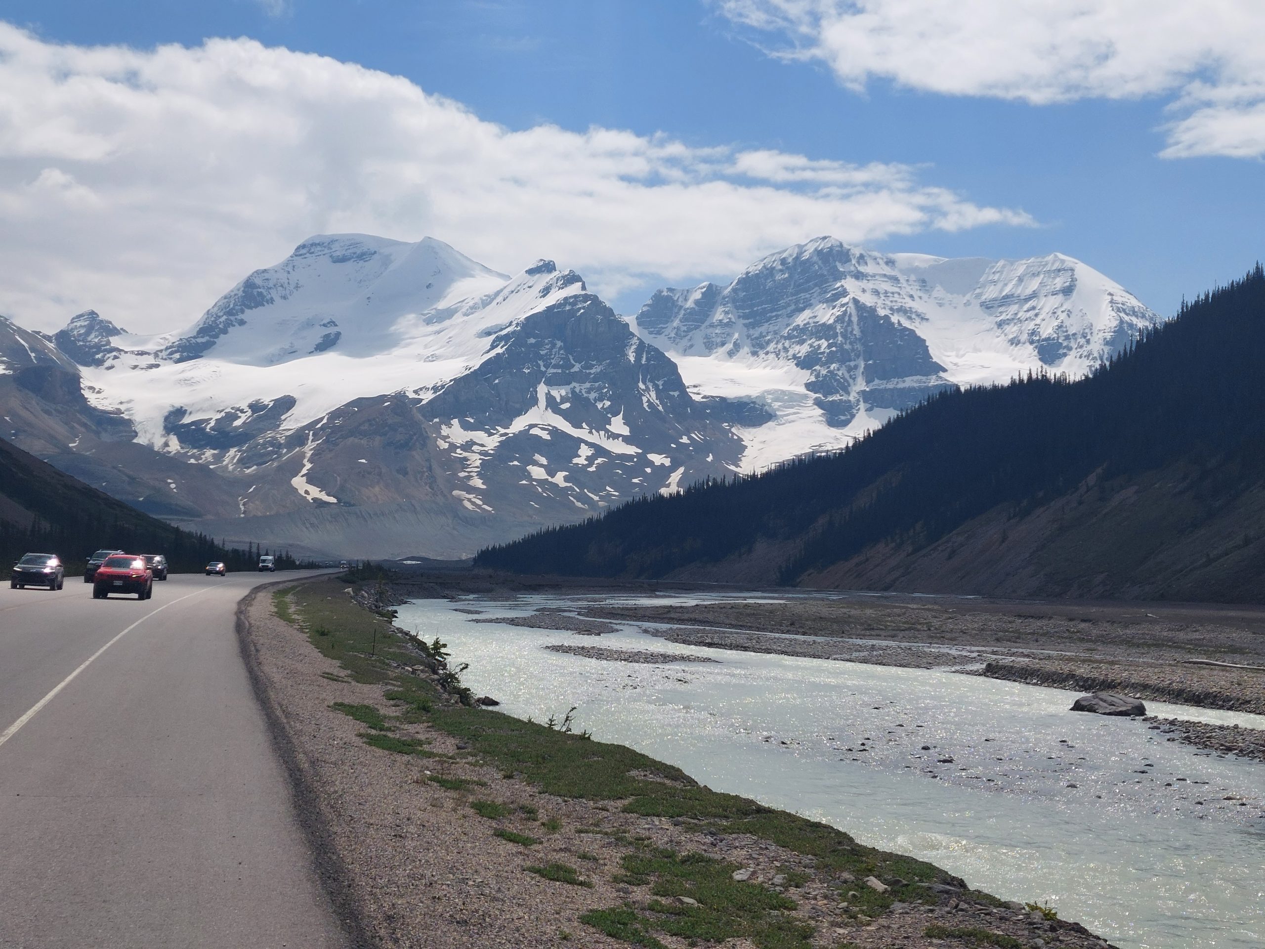
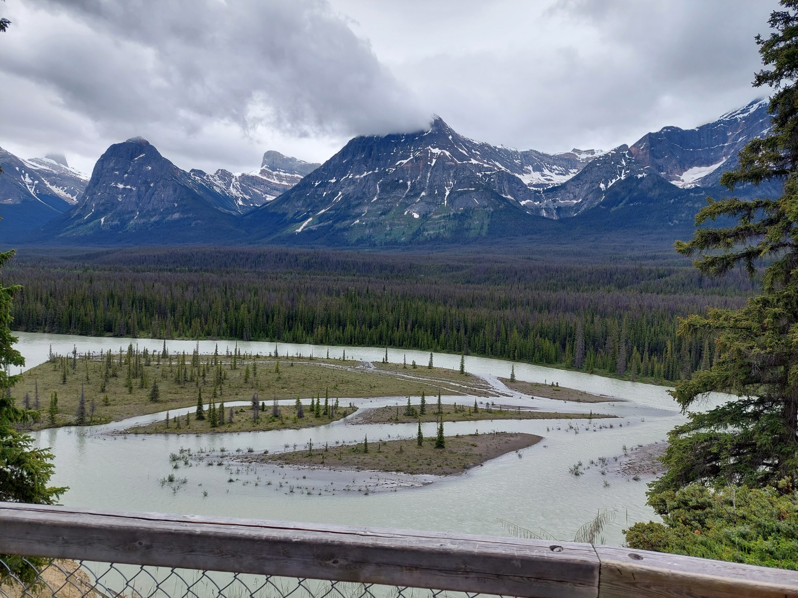
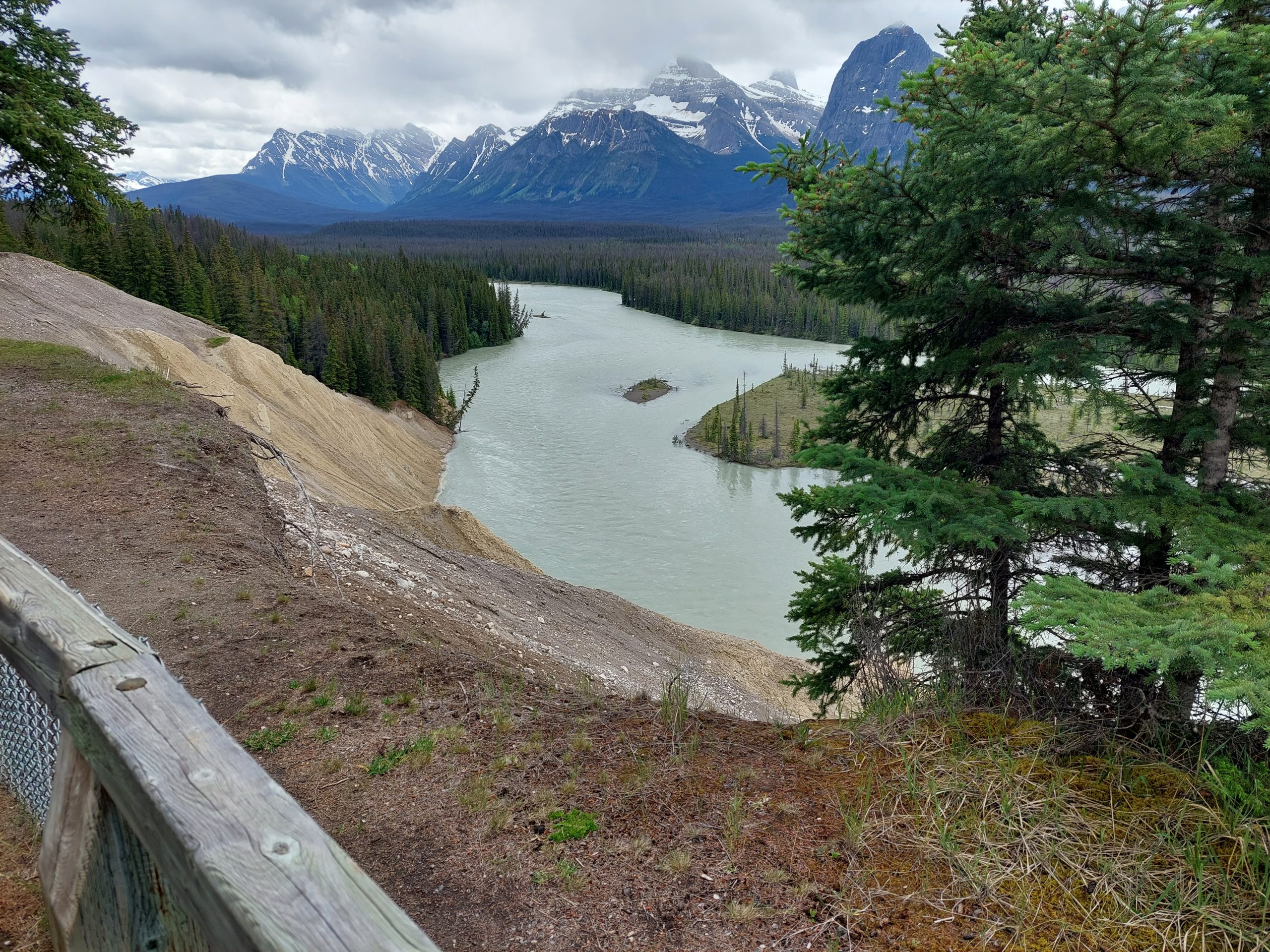
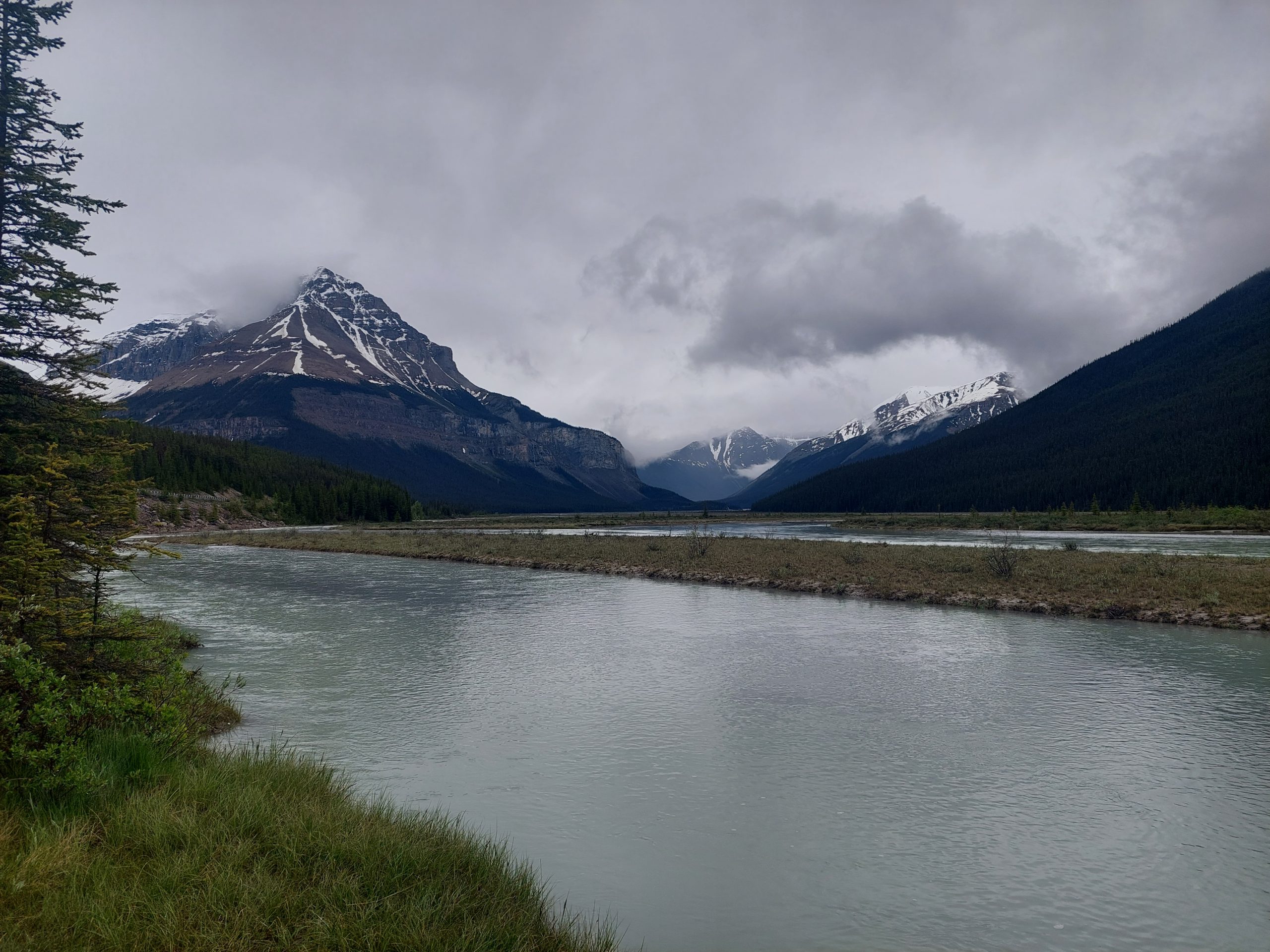
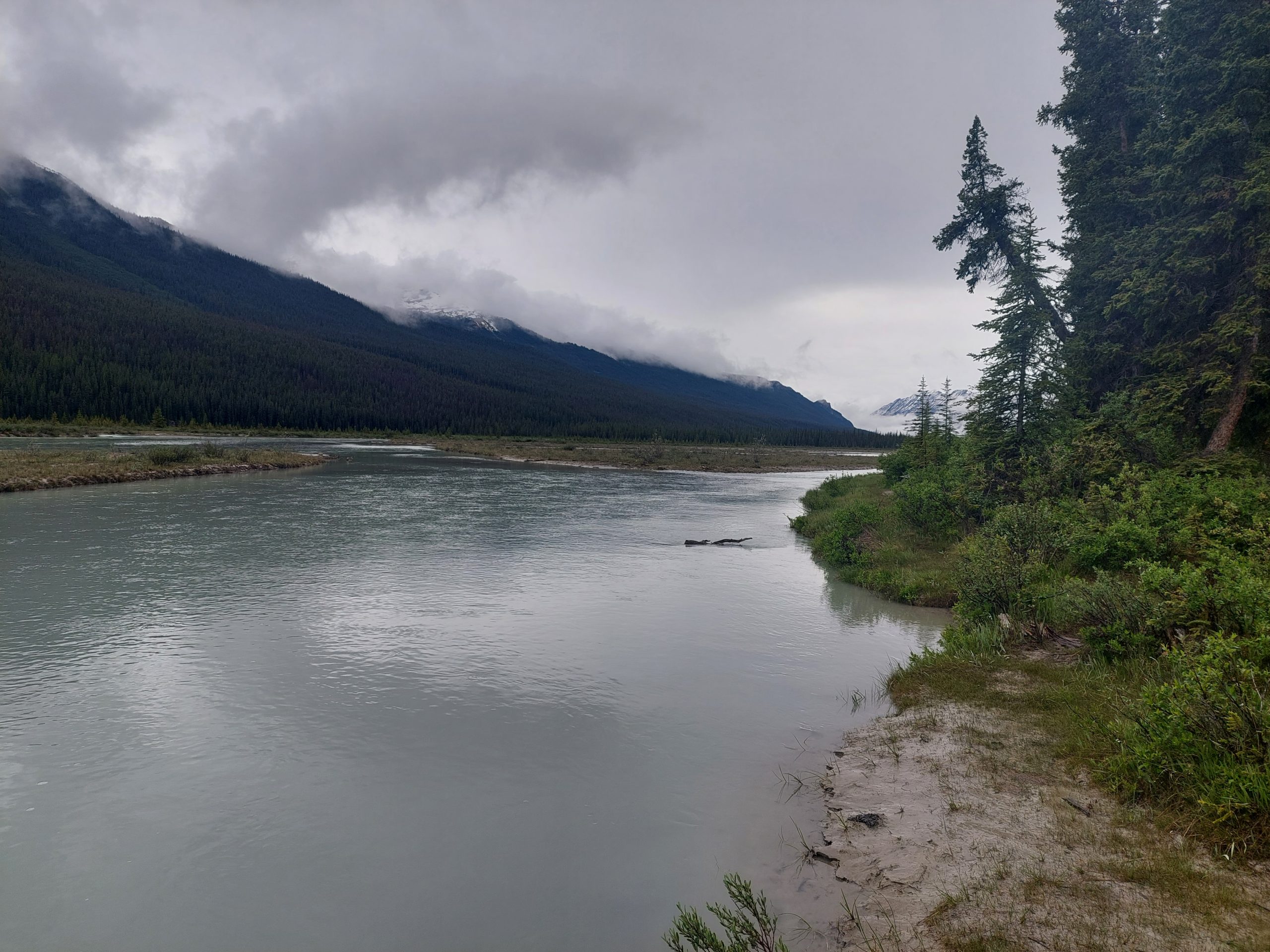
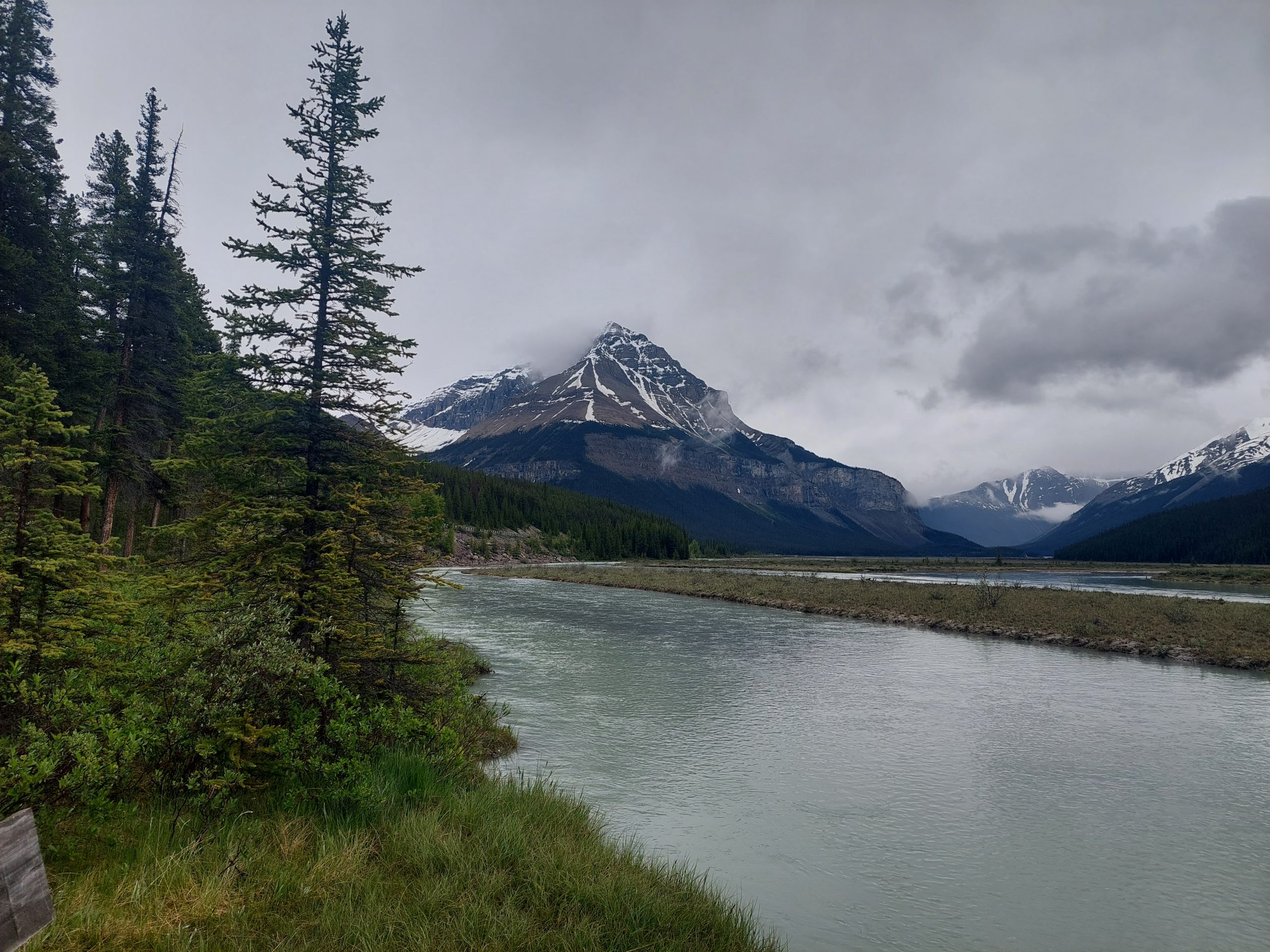
This is the seventh in a series of posts about our bicycling trip down the Icefield Parkway, through Jasper and Banff National Parks in Alberta, Canada. The full series can be found here.
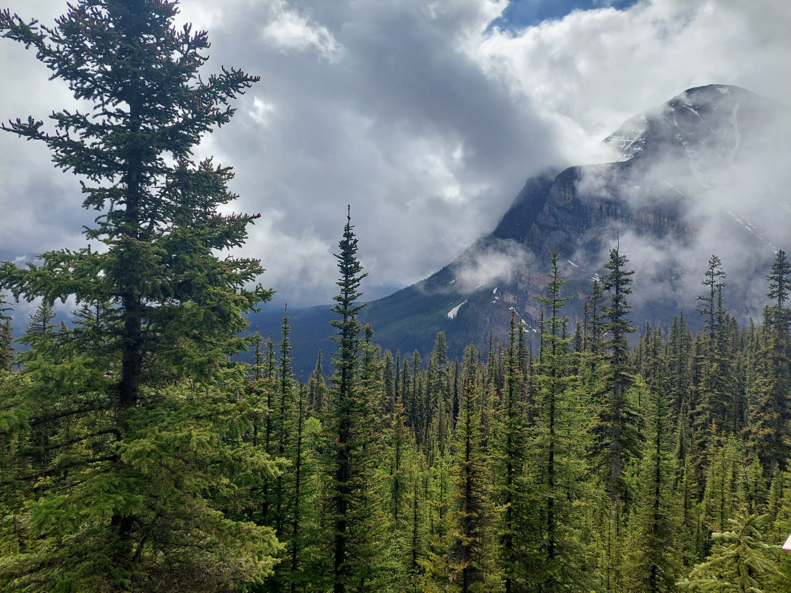
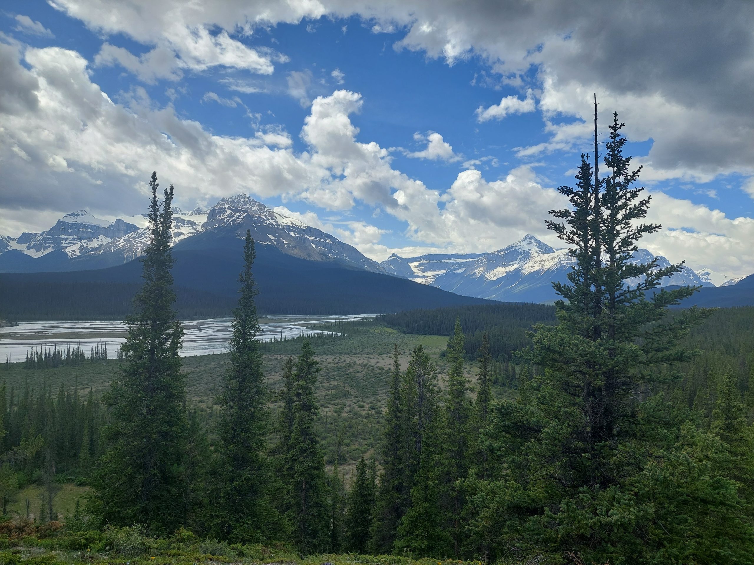
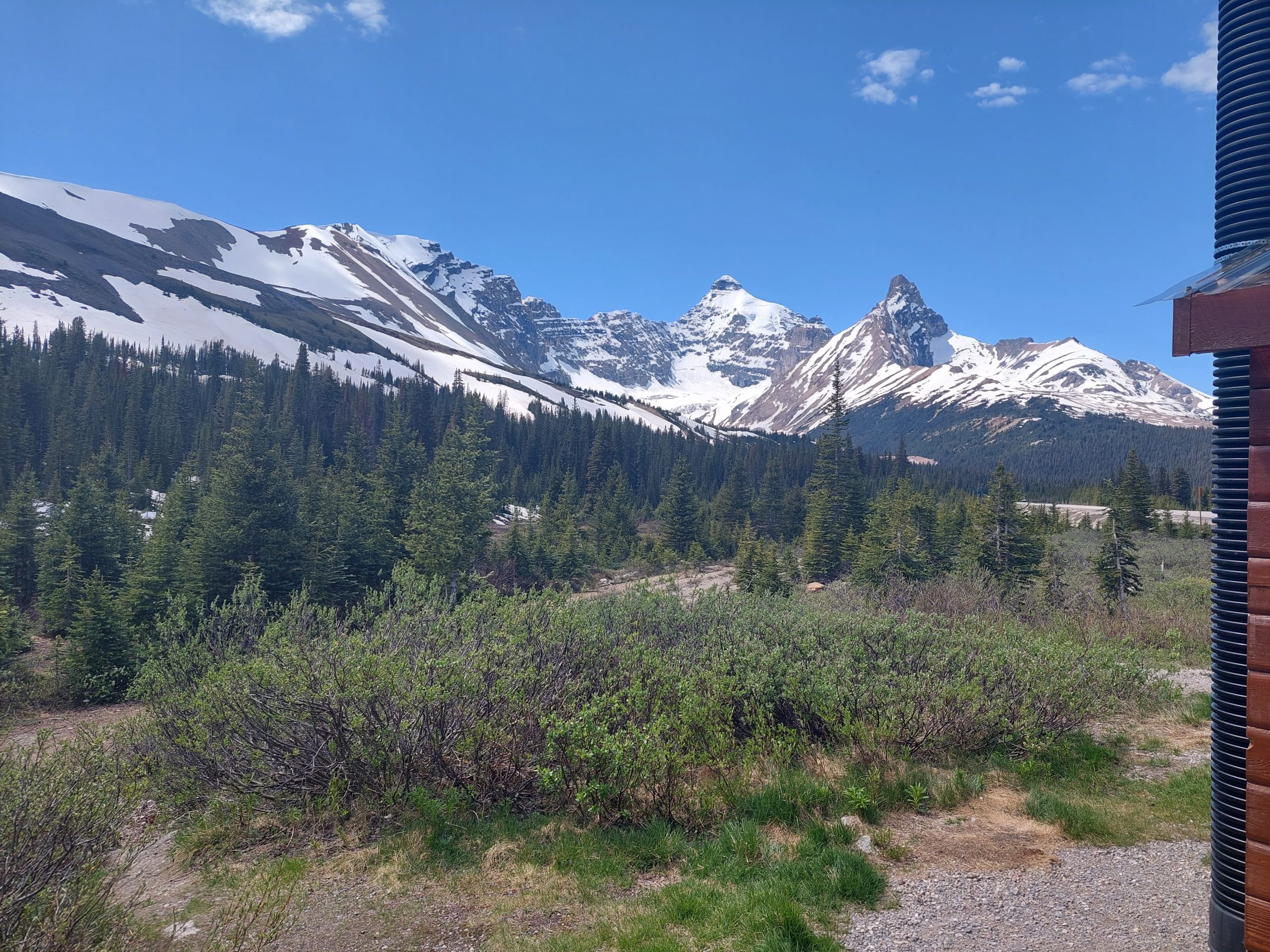
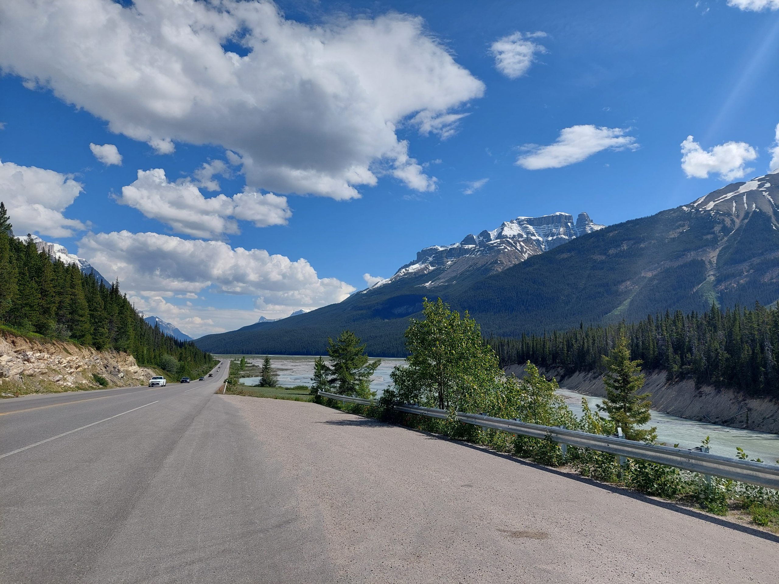
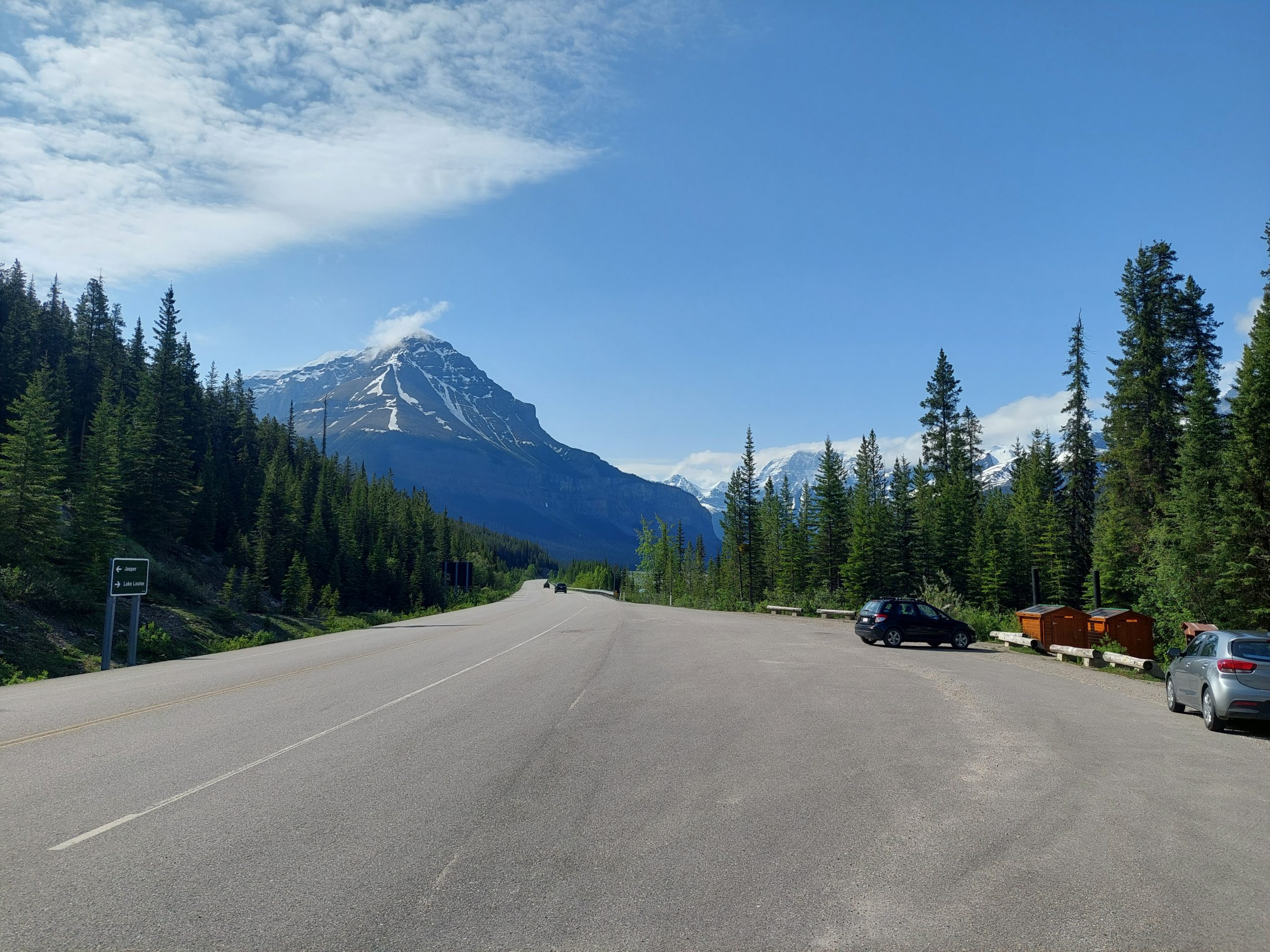
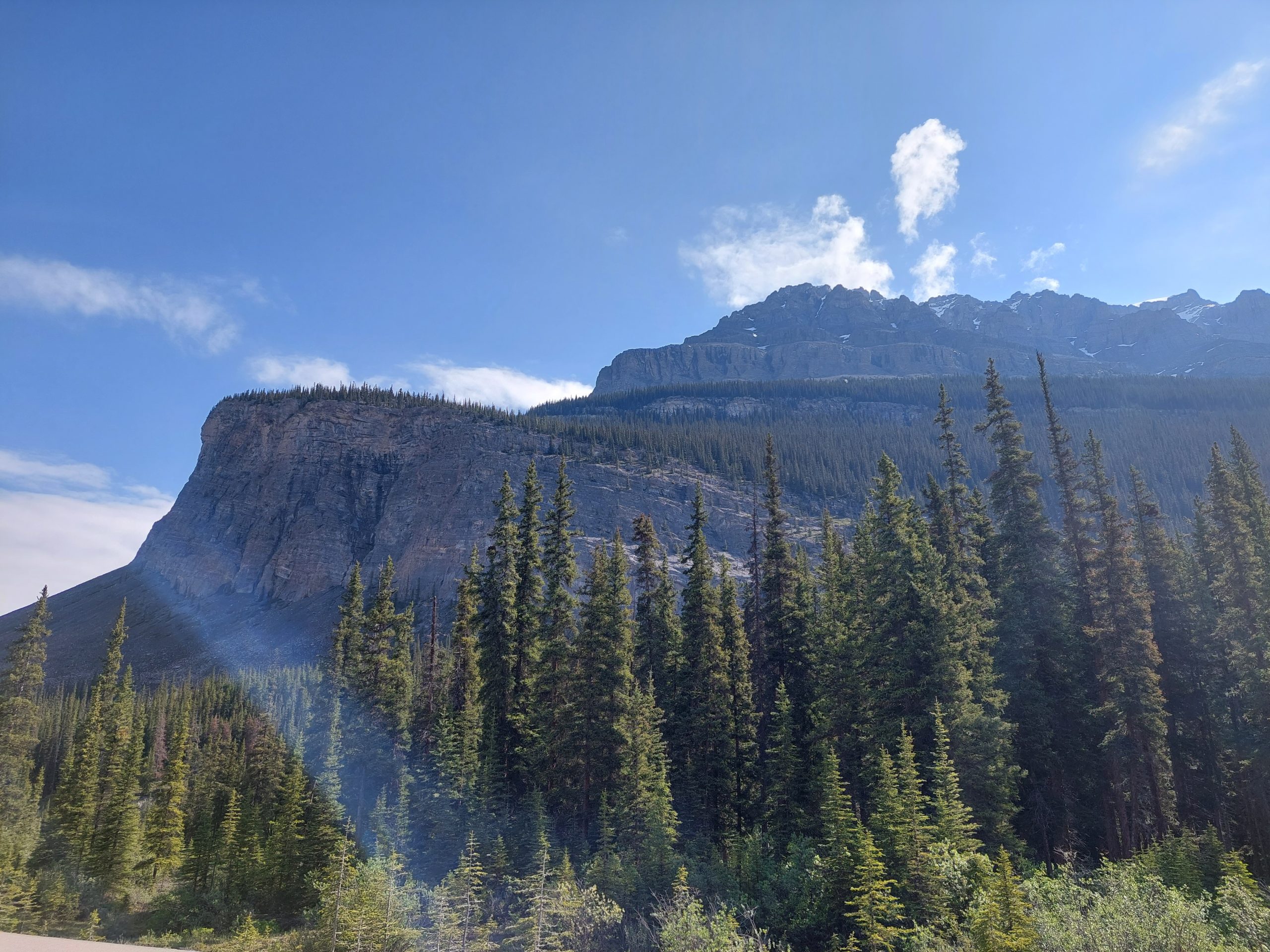
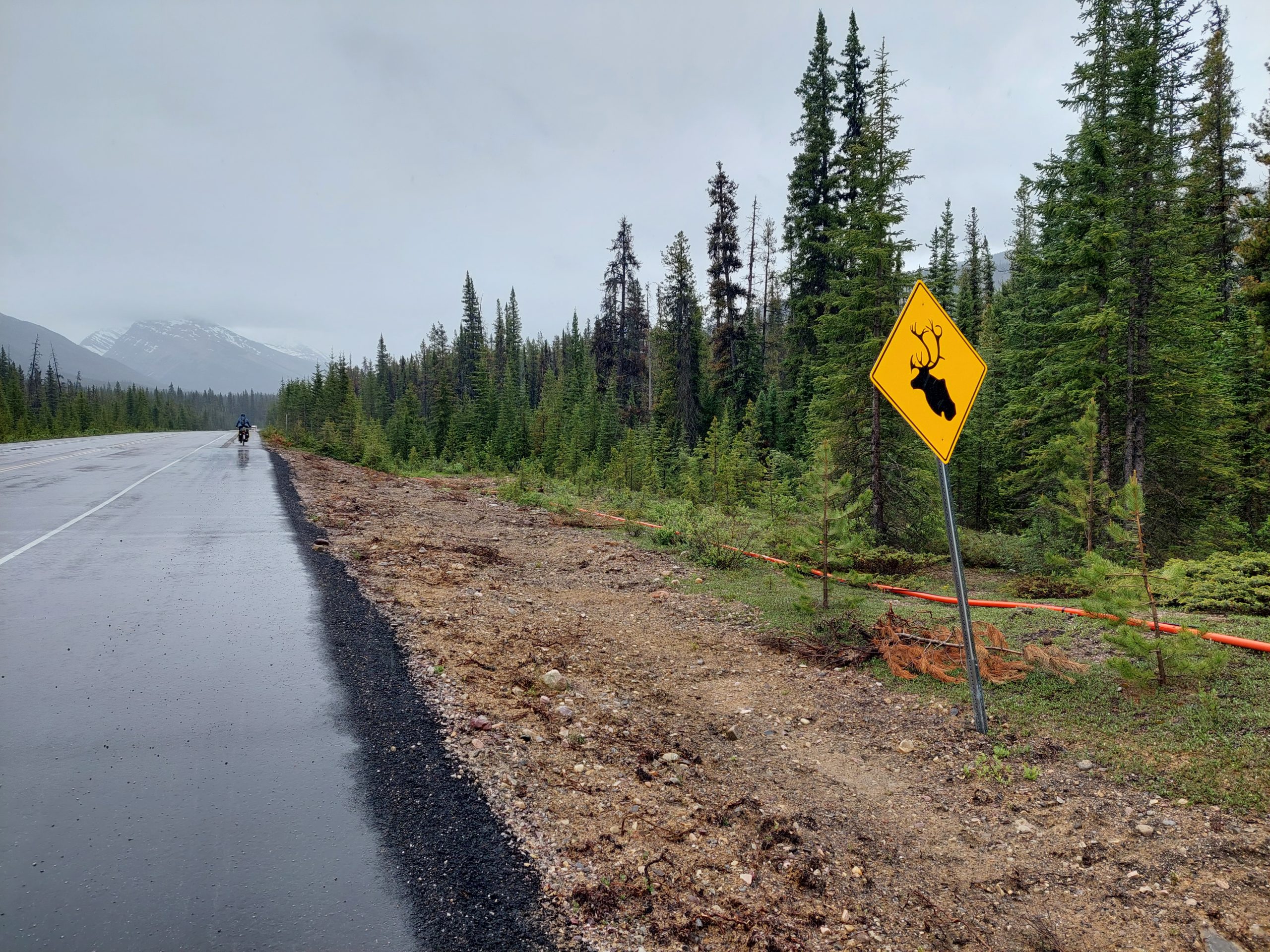
Just another day in a Northern mountain paradise… We traveled down to the North Saskatchewan River crossing, stopping for lunch at the hotel/restaurant there, and then climbed back up from the river to our next campsite.
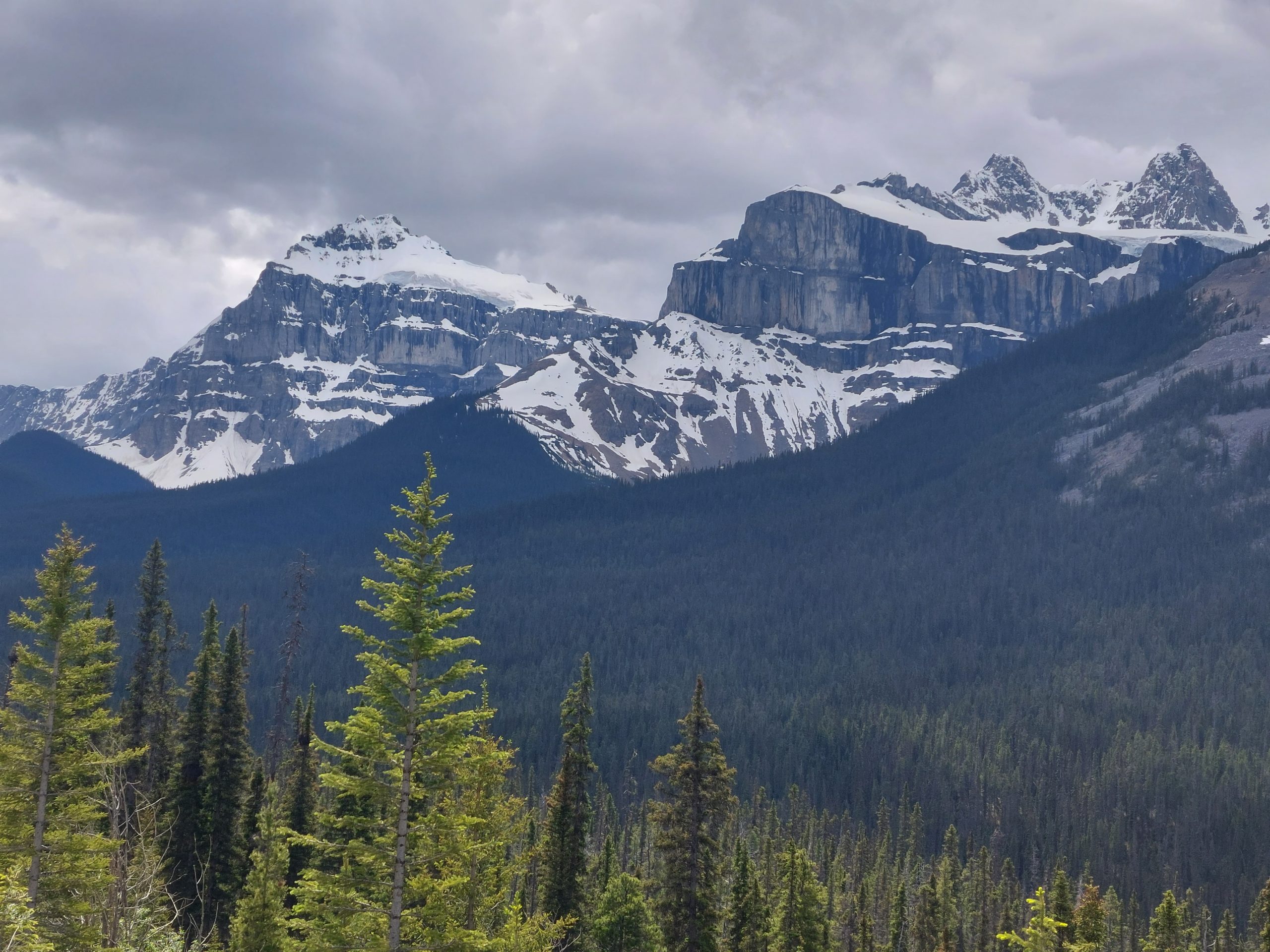
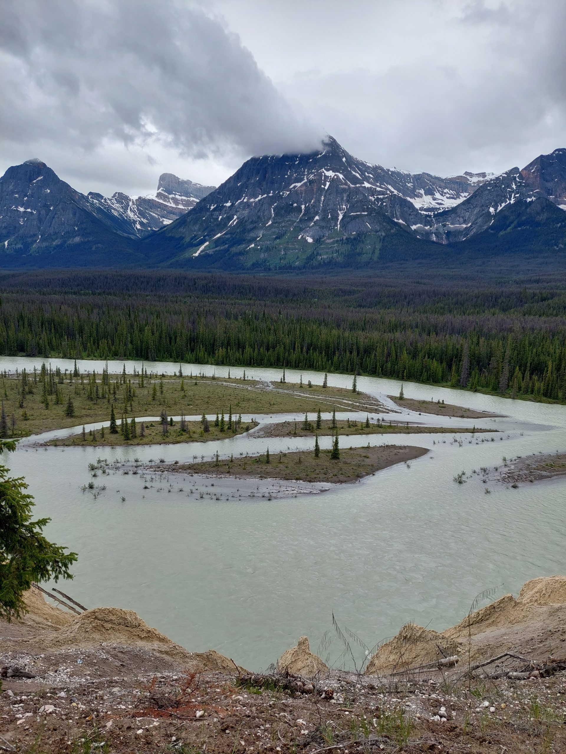
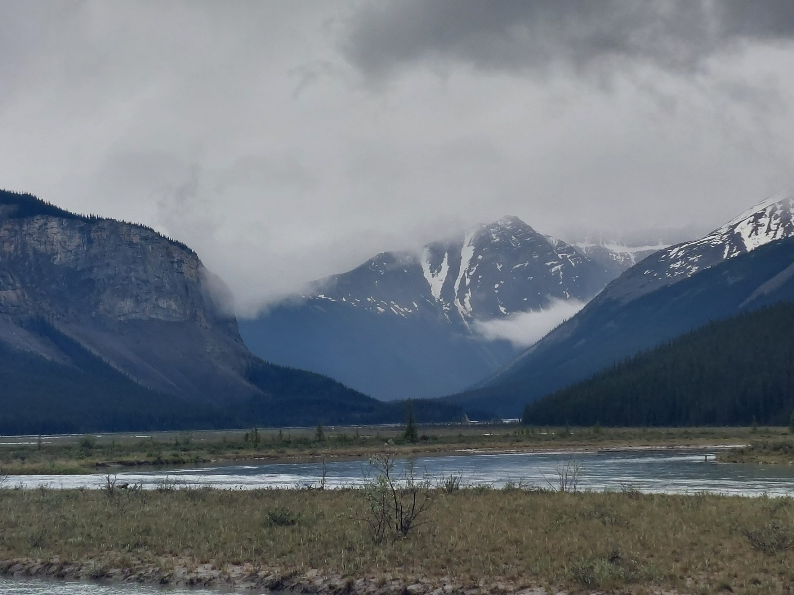
This was a really pleasant day of riding, and we got to see a bit of mountain drama as the snow heated up in the sun, and on the distant slopes we saw what looked like waterfalls being blown around by the wind… Avalanches! As we got closer, the roadside trees blocked our view of the mountains, but we could hear an occasional rumbling as the snow let loose. These were Mount Chephren (which looked like the Matterhorn) and White Pyramid Mountain, and we got close up views one last time before we got to Waterfowl Lake.
It That The Matterhorn?River ValleyHowse PassSerious Chunk Of RockSnow BandsSnow On The MountainsMount Chephren And White Pyramid MountainFuture SnowmeltSummer SnowSnow FieldsThat Matterhorn AgainLower Waterfowl Lake
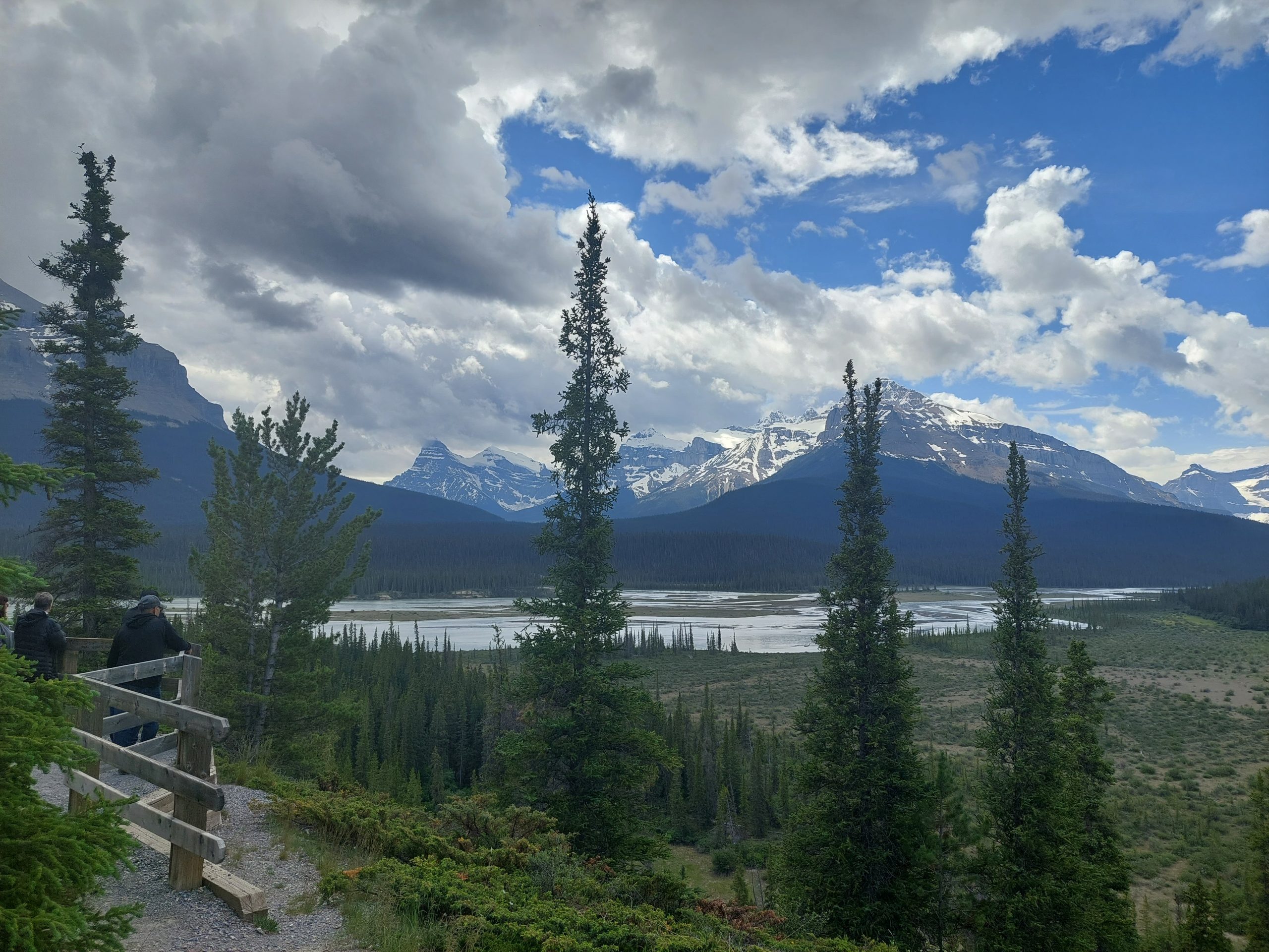
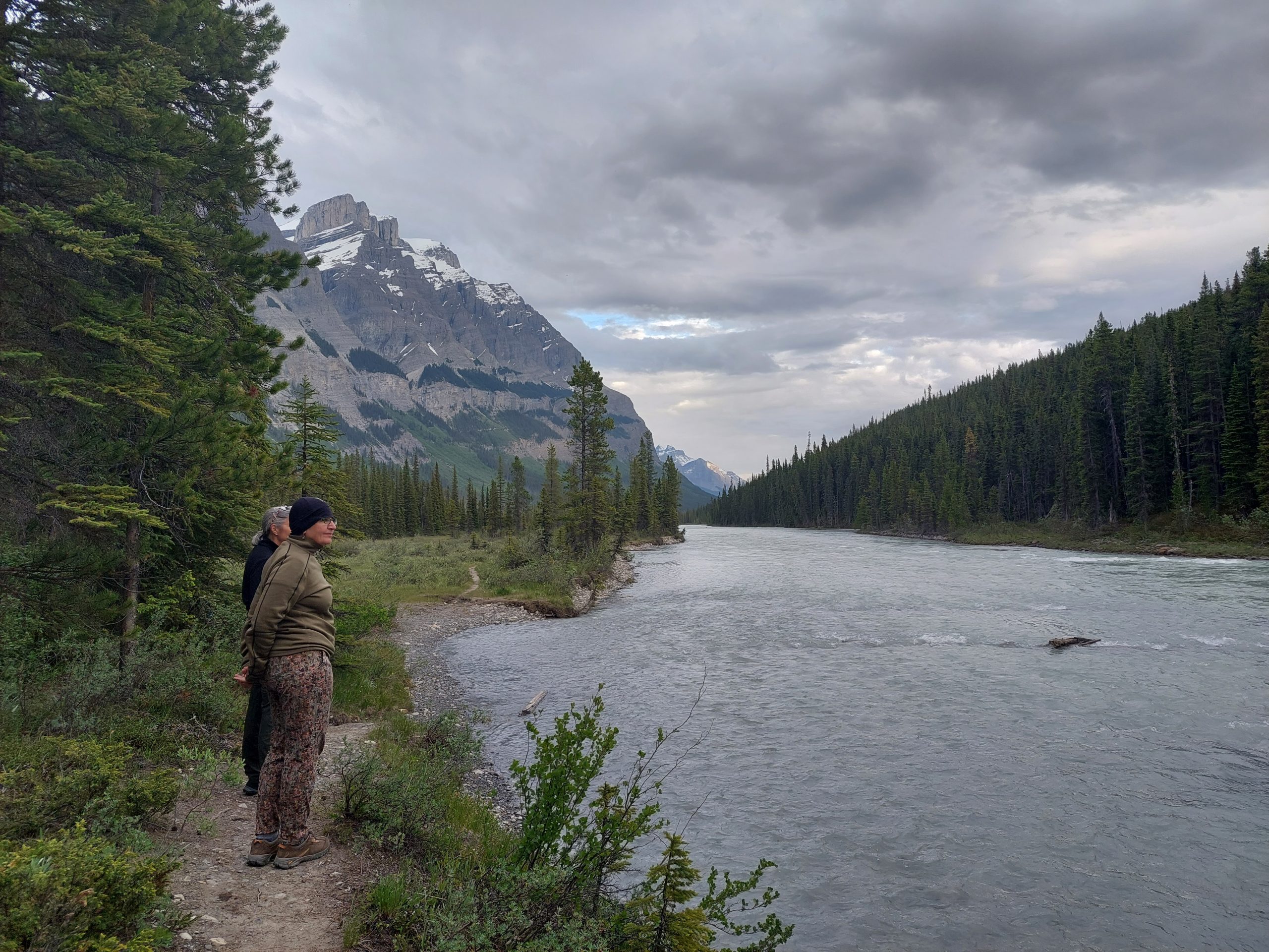
When we got to the campground we found that our ranger friend had been true to her word: there was a walk-in site reserved for Julie, and it was beautiful. (We wanted to thank her, but we never saw her again.) We set up camp and took a walk, and-we bumped into some of our campsite neighbors who were about to do some lake photography and invited us along.
Paul and Gord were both experienced mountaineers and guides, and had tons of funny, interesting stories about hiking and climbing in the Icefields. We learned a lot about that world, and really enjoyed our time with them while Paul (the photographer) waited for the perfect lake shots. I just took the photos that came my way…
Hiking Near Waterfowl LakesHiking Near Waterfowl LakesUpper Waterfowl LakeThe Connecting StreamMistaya River BridgeMistaya UpstreamMistaya DownstreamCampfire
This is the sixth in a series of posts about our bicycling trip down the Icefield Parkway, through Jasper and Banff National Parks in Alberta, Canada. The full series can be found here.
Our morning at the campground was pretty uneventful: we just packed up and got ourselves ready, and then rode the mile or so back to the Icefields Visitor Centre — I wasn’t kidding about the quality of food there! We ate there again, and stocked up on sandwiches for dinner.
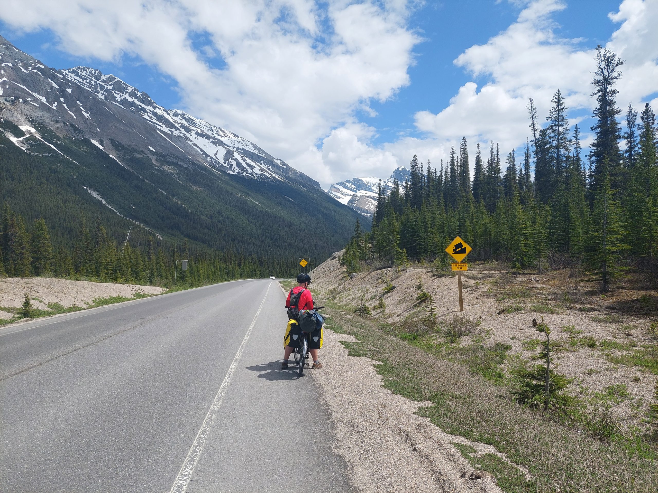
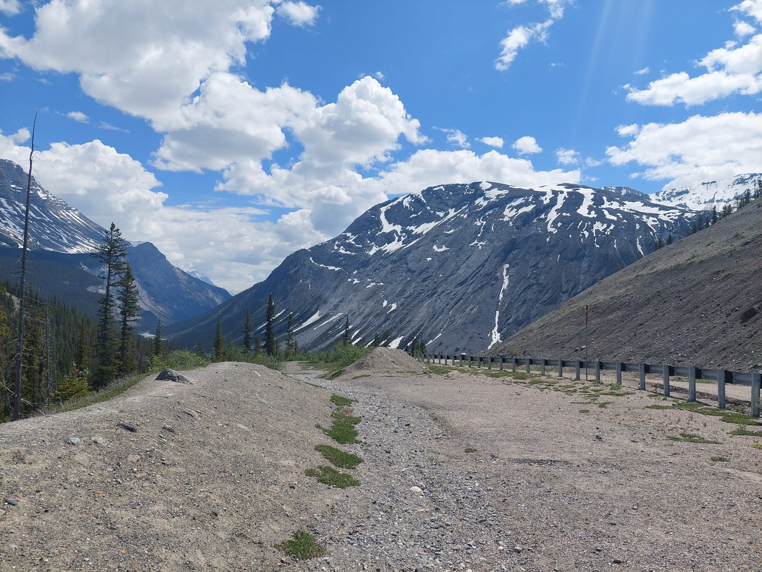
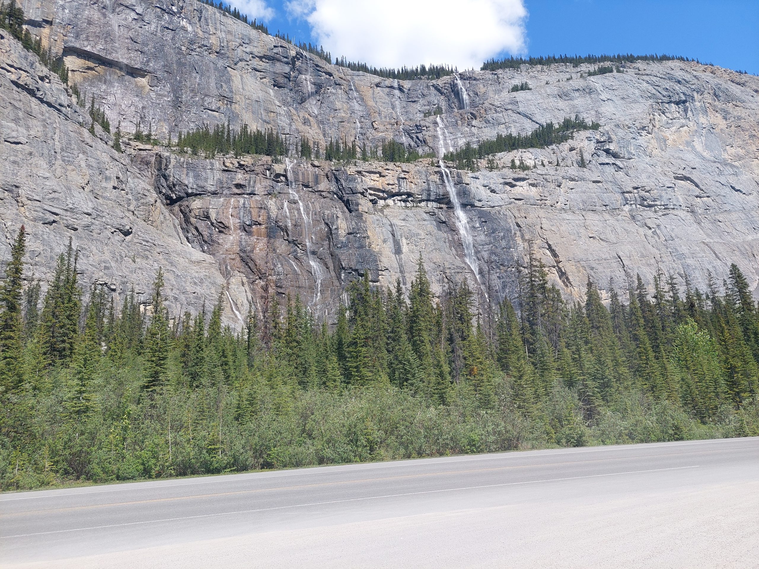
This was our one real “white-knuckle ride,” as we came down from Sunwapta Pass to the valley of the North Saskatchewan. It really wasn’t too crazy, but it was steep enough to be intimidating, steep enough that we had to ride our brakes all the way down, and long enough that we had to stop several times to let our brakes cool. (We could actually smell our brakes, and the brakes of the cars going by, overheating.) Luckily, once again there were pull-offs and lookouts we could use to catch a break. The shoulder was pretty ample too, though there was one spot where a camper-van going the opposite direction broke down — it was parked mostly on the opposite shoulder, but stuck out into traffic, and the driver was under the van with his legs even further into traffic… The guy had safety cones out, but this was also Canada Day and the road was super busy, and with the northbound cars going around him and the southbound cars moving over and encroaching on our shoulder, things got pretty tight for a hot minute.
We finally got down the steep part to the “big bend,” where the road doubles back in a series of 90 and 180 degree turns, and where we stopped to explore a beautiful stream that turned out to be the North Saskatchewan River. We weren’t done or even all the way down, but the craziest part of our day was over.
Jasper-Banff BorderWelcome To Banff National Park!Snowy MountainsLooking BackTreesParker RidgeMountains And GlaciersGoing DownSnowIs That A Glacier?Coming ‘Round The BendAt The Pull-OffAnne And MeRugged MountainsBottom Of The HillThe Big BendJust Another WaterfallOn The FloodplainSnow And SnowmeltNorth SaskatchewanBlue Mountain StreamJulie Records The ViewAlong the North SaskatchewanWater On The RocksSelf Portrait
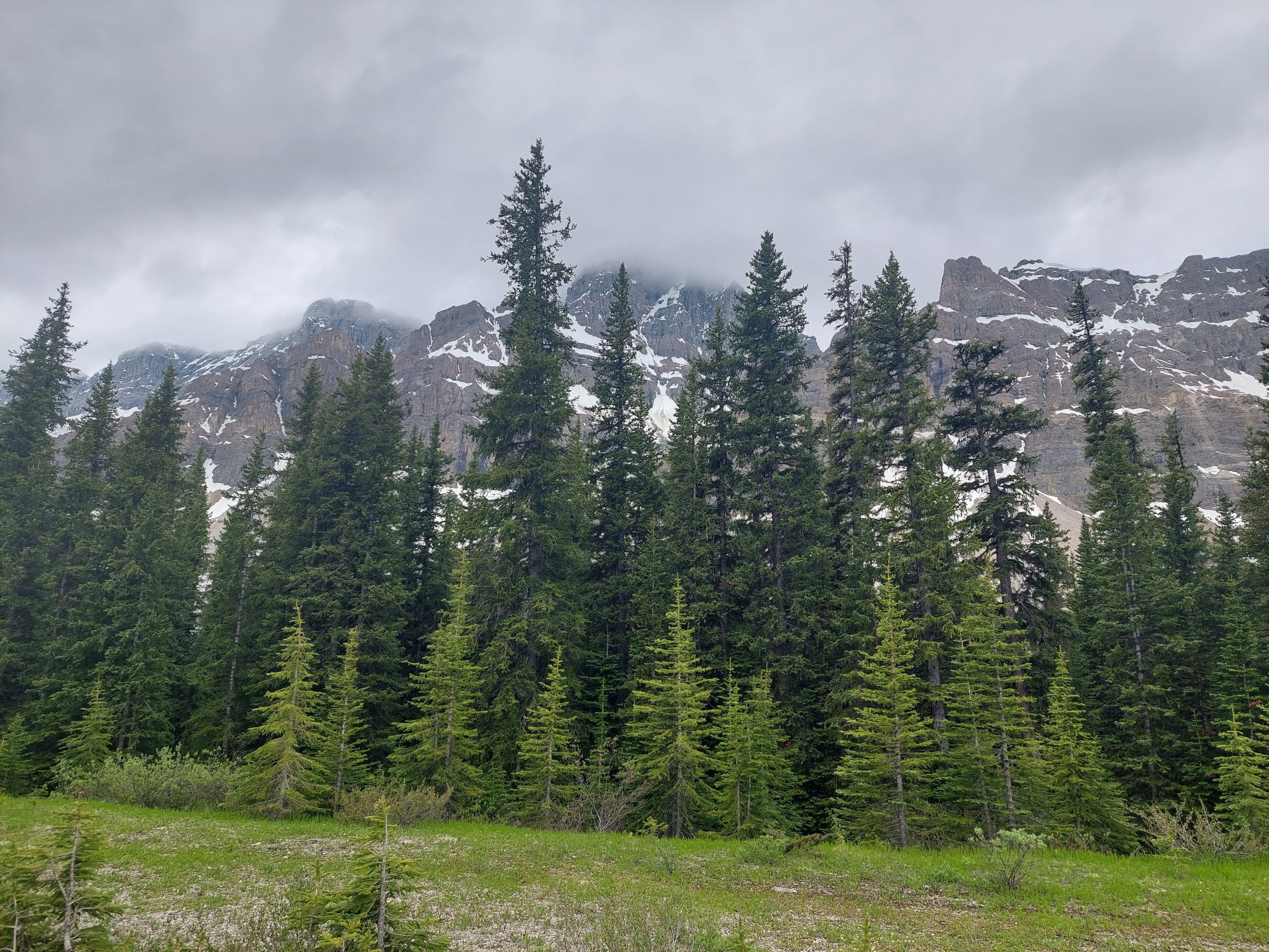
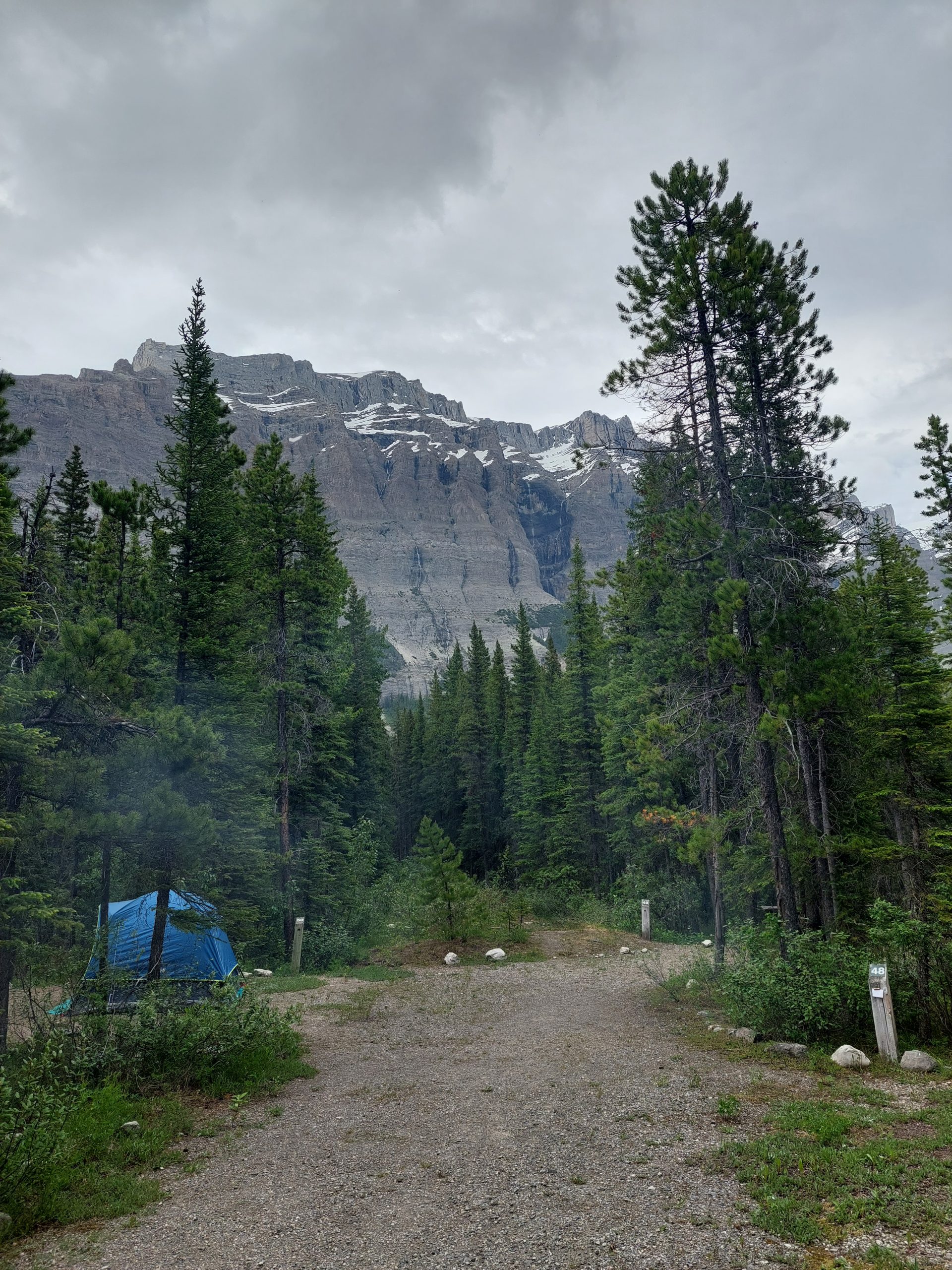
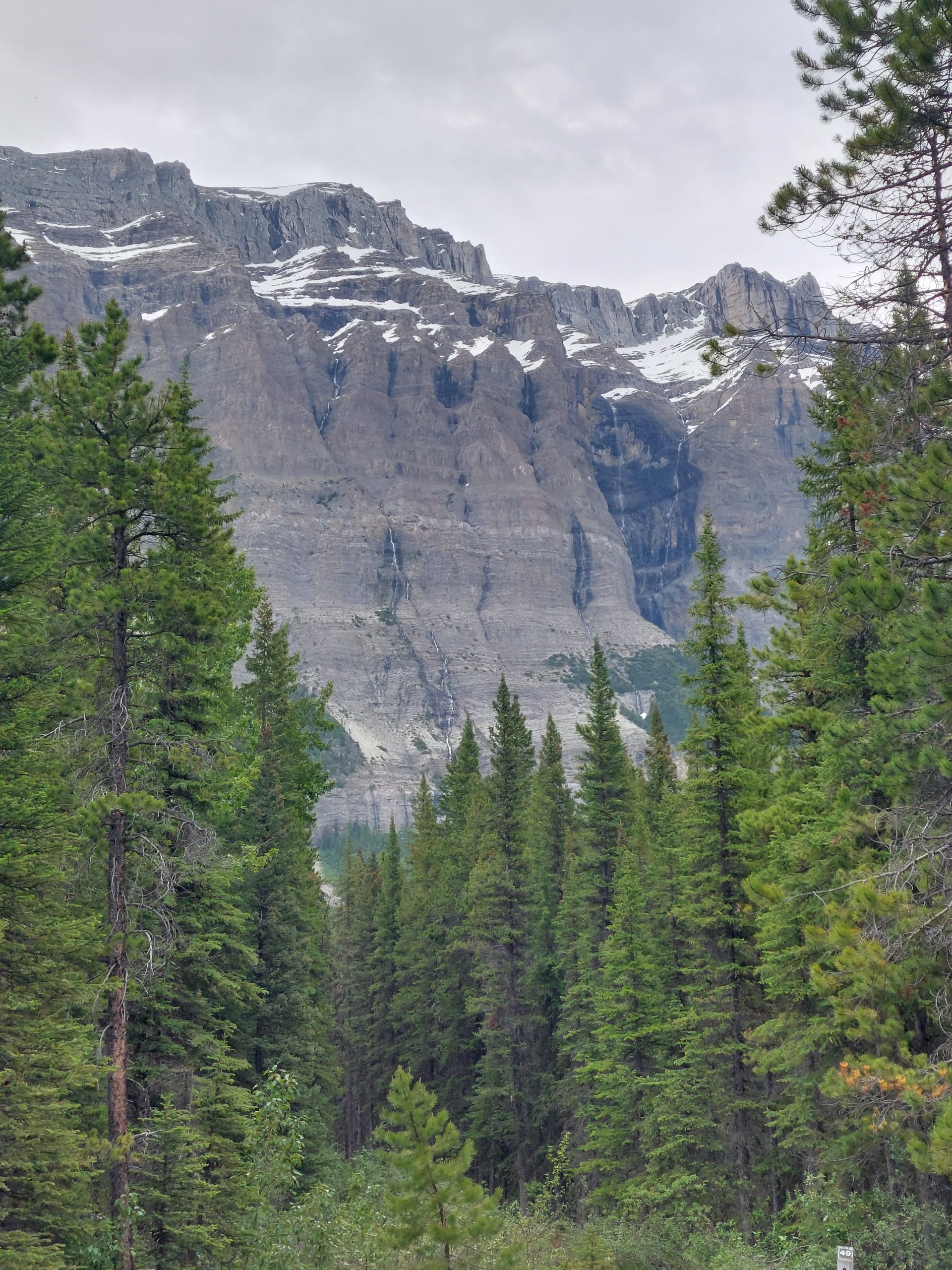
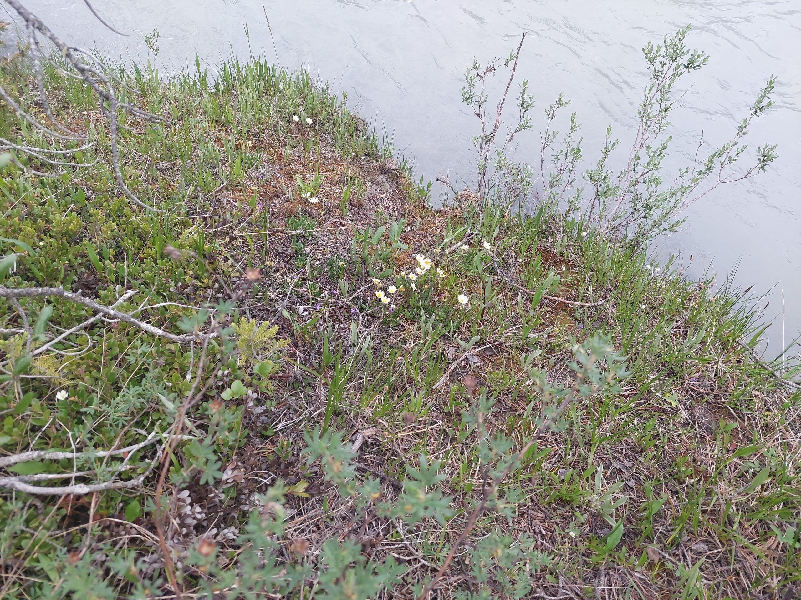
When we got to the Rampart Creek Campground, there was a ranger in her truck at the entrance, who took one look at me and exclaimed “You look warm!” (I was pretty sunburned.) She gave us advice for the best remaining walk-in campsites, and we found the spots and set up camp in a sudden, and thankfully very short, hailstorm. We took opportunities to wash bodies and clothes in Rampart Creek, which was just a short hike down the trail from our site, then we ate our dinner and just enjoyed the scenery. (The plants and soil surface reminded me very much of Snowshoe, West Virginia, by the way, the same pines and soft, lumpy peat moss. The mountains were a bit bigger here…)
Our Campsite At Rampart CreekA Closer View Of The CliffsIcefield FlowersIcefield FlowersOn The North Saskatchewan River
The ranger eventually stopped back and talked with us, asking about our trip so far and reminiscing about when she cycled across Canada as a young woman. She also said she’d make sure we would have a campsite available at the next campground — sweet!
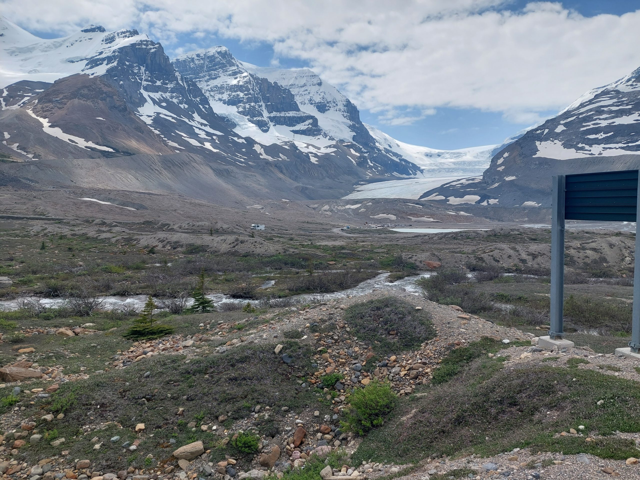
This is the fifth in a series of posts about our bicycling trip down the Icefield Parkway, through Jasper and Banff National Parks in Alberta, Canada. The full series can be found here.
We got up, ate breakfast and packed our bikes, and started on our way. This would be our shortest day, but since the day featured a real stinker of a climb, we figured it would work out in terms of effort.
Sunwapta Pass
The hill we had to climb was the front part of the Sunwapta Pass, a saddle between Mount Athabasca and Nigel Peak; it’s what separates the Sunwapta River valley from the valley of the North Sasketchewan River. The worst part of it had us climbing about a thousand feet in just under two miles — luckily it also had several parking areas and overlooks we used to catch our breath — and then we were up in the pass, though it still kept climbing for a bit. We would essentially be up in the pass until tomorrow’s big downhill.
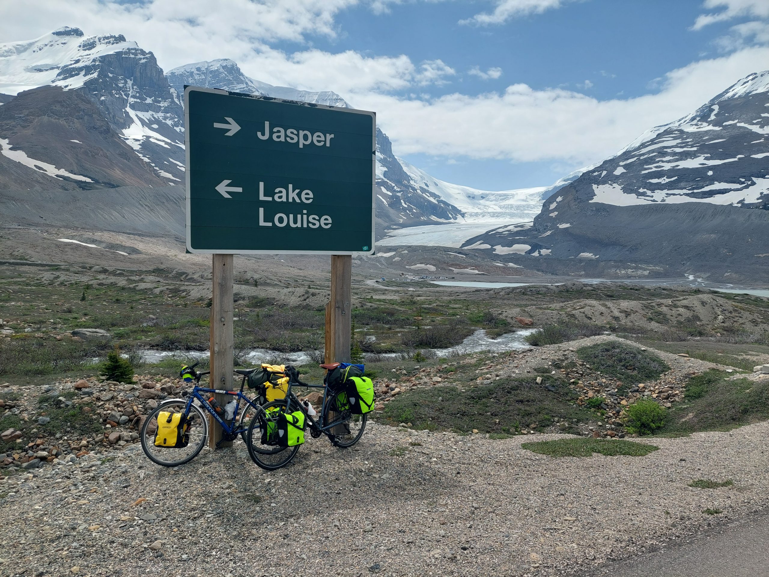
This is the area where the Columbia Icefield is most accessible. The first crest had a tourist “cliffside walk,” where we celebrated our ascent; then came a small downhill, and then we climbed again, and finally we came around a bend and were hit with an icy wind, and the Athabasca Glacier was there to our right. This glacier is a sort of tongue sticking out of the Icefield past Mount Athabasca, and is the source of our friend the Athabasca River. You could get tours of the glacier in special vehicles, like all-terrain buses, which took you out to where you could hike around. We could see the vehicles up on the glacier — they looked like ants in the distance.
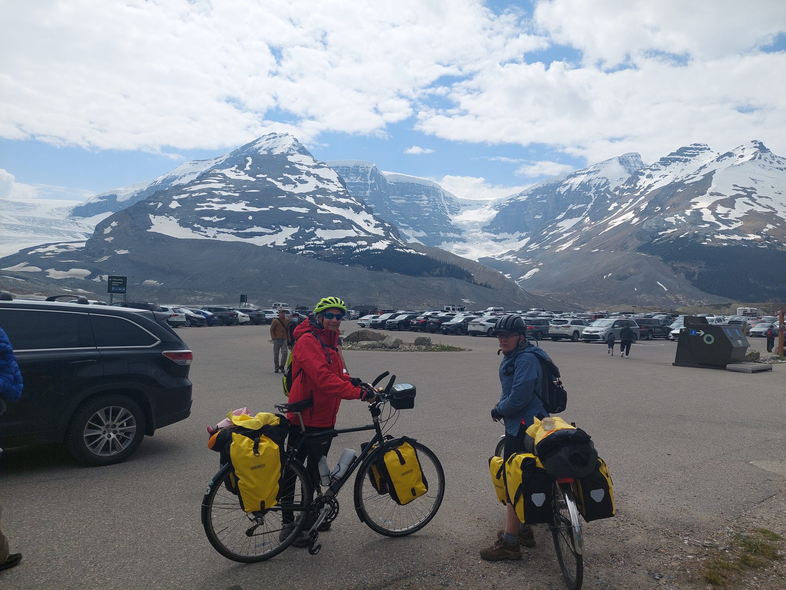
This was at the Columbia Icefield Visitor Centre, our lunch stop, where we ate in the cafeteria. Maybe it was the spectacular view, or maybe it was all the exertion in that fresh cold mountain air, but the food there was especially delicious…
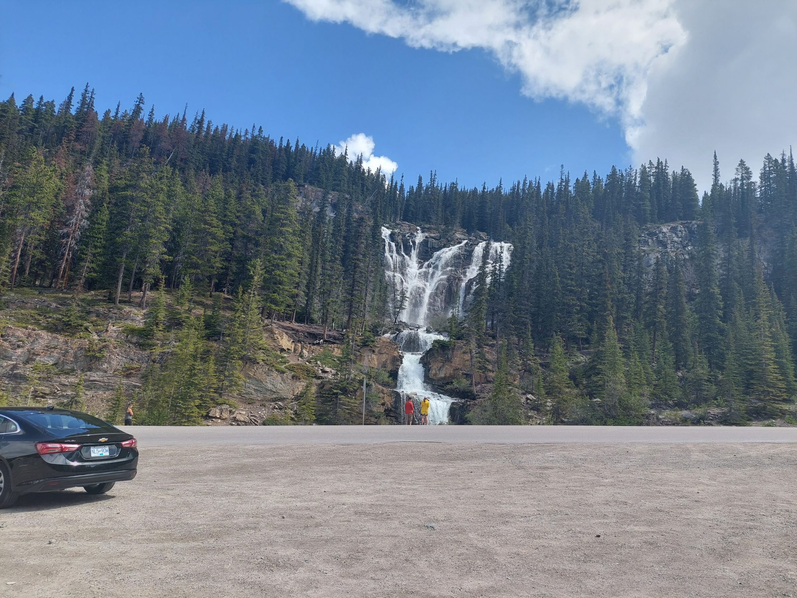
Cloudy, Icy MountainsAnneAnne On The ParkwayRagged CloudsSnow BandsFrom Whence We CameSunny MountainRoadside: AnneRoadside: Anne And JulieMe At The RoadsideStutfield Glacier: The Tip Of The IcefieldPull-OffLooking Back DownSnowy MountainsScenic BreakLooming IcefieldDistant MountainsDistant WaterfallTangle Creek FallsMoving WaterMade It!Looking BackMe, Anne and Julie At The TopGetting Kind Of IcyAthabasca GlacierOur Bikes and The IcefieldJulie And Anne And Glaciers
Columbia Icefields Campground
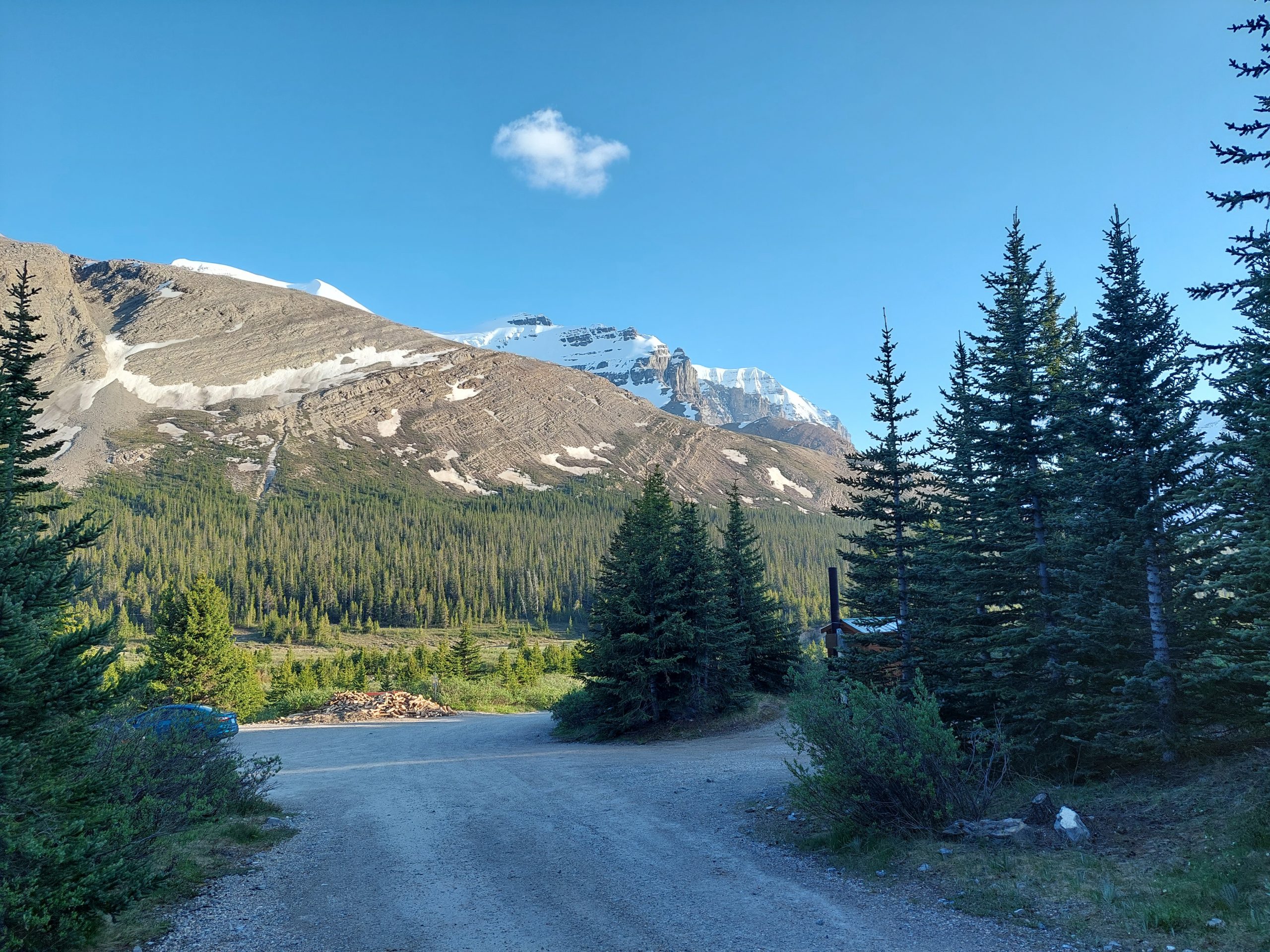
Unlike the last two nights, we had no reservations for this night’s lodging. Jasper and Banff National Parks were known to be busy in the summer, and since we were just coming into the Canada Day Weekend, likely the busiest part of the busy season, we were worried about being able to find a place for the night, but just past the Icefield Centre were two campsites — no reservations, first come first served. It was still early in the day, so we hoped to find a campsite at one of them.
We were in luck. The first campsite had plenty of openings, including several beautiful, secluded, walk-in only sites, which were just a bit down a trail and across a small creek from the rest of the place. Julie took one spot, and we took the one next door, and our neighbor turned out to be another rider we’d seen on the road. Sweet!
Anne On The BridgeStreamAnne On The BridgeRocky And Snowy MountainsMountainsThe Path To Our CampsiteMountain ViewOur Campsite
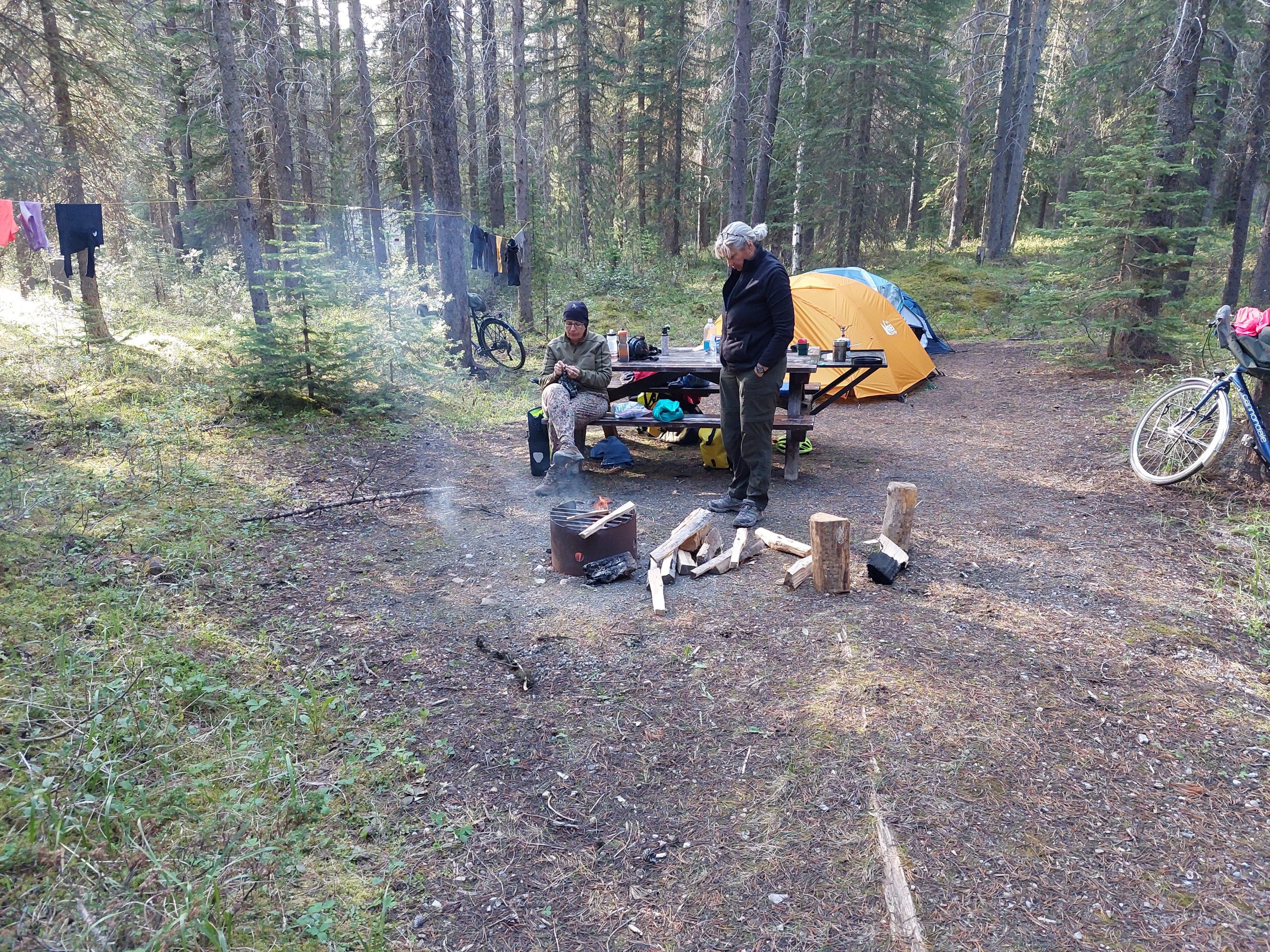
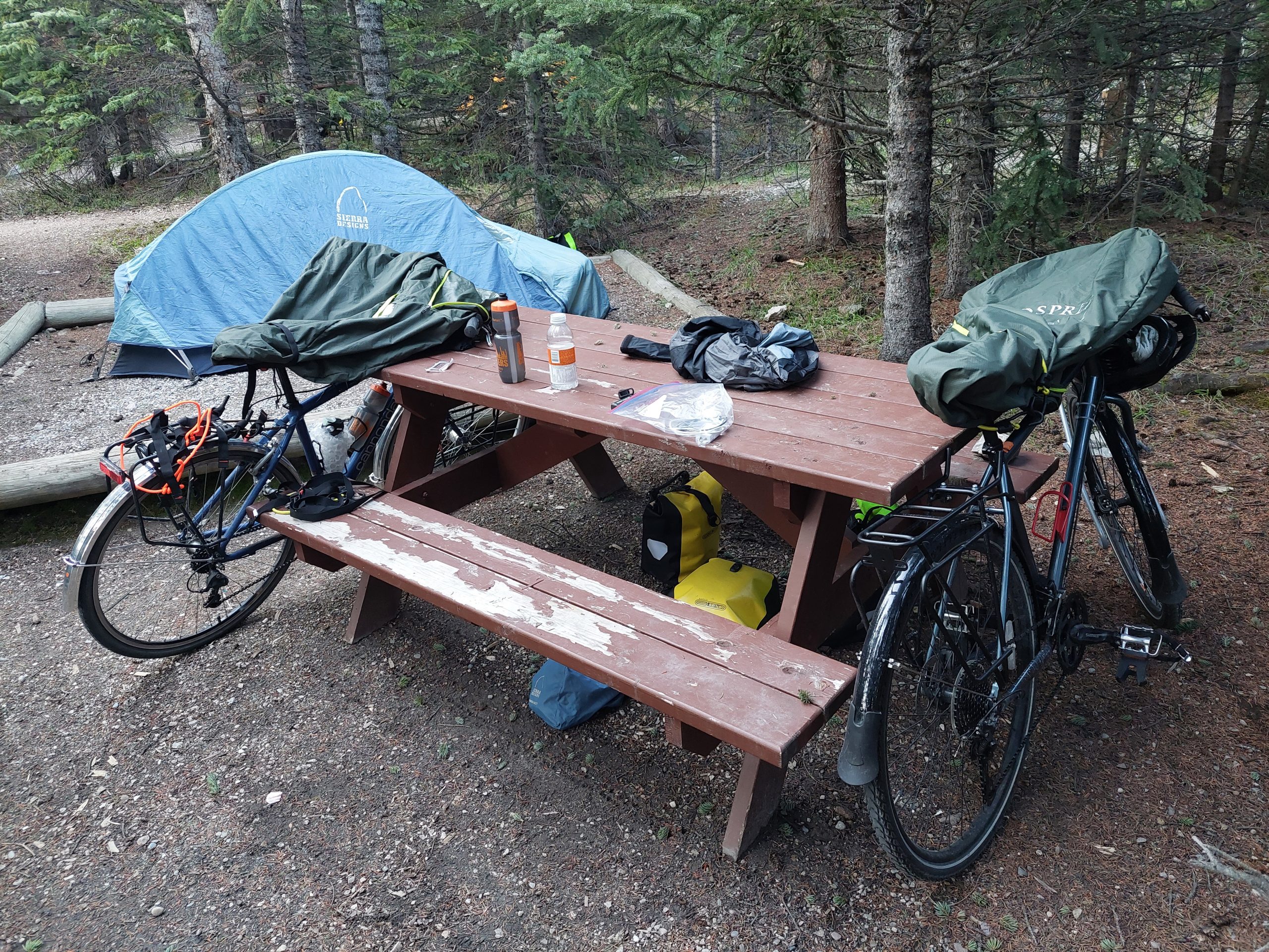
We were now up in (or just on the edge of) the Icefields, and finally camping for real. It was time to start practicing bear discipline: no unattended food at our campsite (there were special bear-proof lockers in the main camp), and our bear spray always ready just outside the tents. I’m not sure how serious we needed to be, our car-camping neighbors were there with their dogs, and grilling steaks without much apparent concern, but we at least were in deadly earnest. Dinner and cleanup (far from our tents), then a walk around the campsite, and then bed.
This is the fourth in a series of posts about our bicycling trip down the Icefield Parkway, through Jasper and Banff National Parks in Alberta, Canada. The full series can be found here.
At The Hostel
Athabasca Falls Hostel
Our night at Athabasca Falls was pretty uneventful, aside from one midnight incident when some poor dad (who probably spent the previous half hour lecturing his teenage kids about being quiet before entering the dorm) accidentally dropped a pocketful of change on the floor. It was like an alarm went off, and there we were all in our bunks, suddenly awakened and stifling our laughter while he frantically tried to pick up the coins in his underwear… He got things back under control quickly enough — he probably just left the coins there until morning — and the rest of the night passed quietly.
We had another bit of excitement in the morning though, when one of the other guests tried to cook some bacon by baking it in the oven — only they used plastic “baking trays!” After a few minutes you could smell a weird plastic smell in the common room, and then it was overwhelming and nasty smoke was starting to come out of the oven.
Cue our lovely and unflappable hostel manager — she swooped in from who-knows-where, got the trays out the back door and into the fire pit, and managed to get all the windows and doors open before the smoke got too bad, all while reassuring the cook it wasn’t her fault, really, the trays had been put away in the wrong place by the last people to use them and it was an understandable mistake. (The poor woman was pretty embarrassed.) Things were soon back to normal, and we were all chatting like old friends now that the ice had been broken.
Here are some parting shots by the way, a few photos I took of the common room before we left:
The Common RoomThe Common Room
(Hodgepodge Lodge, right?)
Outside it was overcast, and drizzly at times, but the weather was nowhere near as bad as the original forecast. We cooked and ate our breakfast, sitting with Coin Guy from the night before, who — with the help of an enormous pile of maps and guidebooks — was planning the next leg of his trip, and then we packed our stuff and prepared to leave.
On The Road Again
This was the second-longest leg of our trip by mileage, and our first real day on the Icefields Parkway proper. This road follows the valleys of the Athabasca River, the Sunwapta River, the North Sasketchewan River, and so on southward; today we would follow the Athabasca River (upstream) and then on up the Sunwapta. You can see the basic gist of it in the map above.
For some reason I didn’t take as many pictures this day, but this was the day that the incredible beauty all around really started to seep into me. We were riding just on the edge of the foul weather following us from Jasper, every view was beyond dramatic, and every mountain had its ragged cloud blowing off the top like a flag in the wind. Everywhere you looked, and changing every second, was incredible beauty.
Mountain, Clouds And Athabasca River
Mountain, Clouds And RiverMountain River Valley
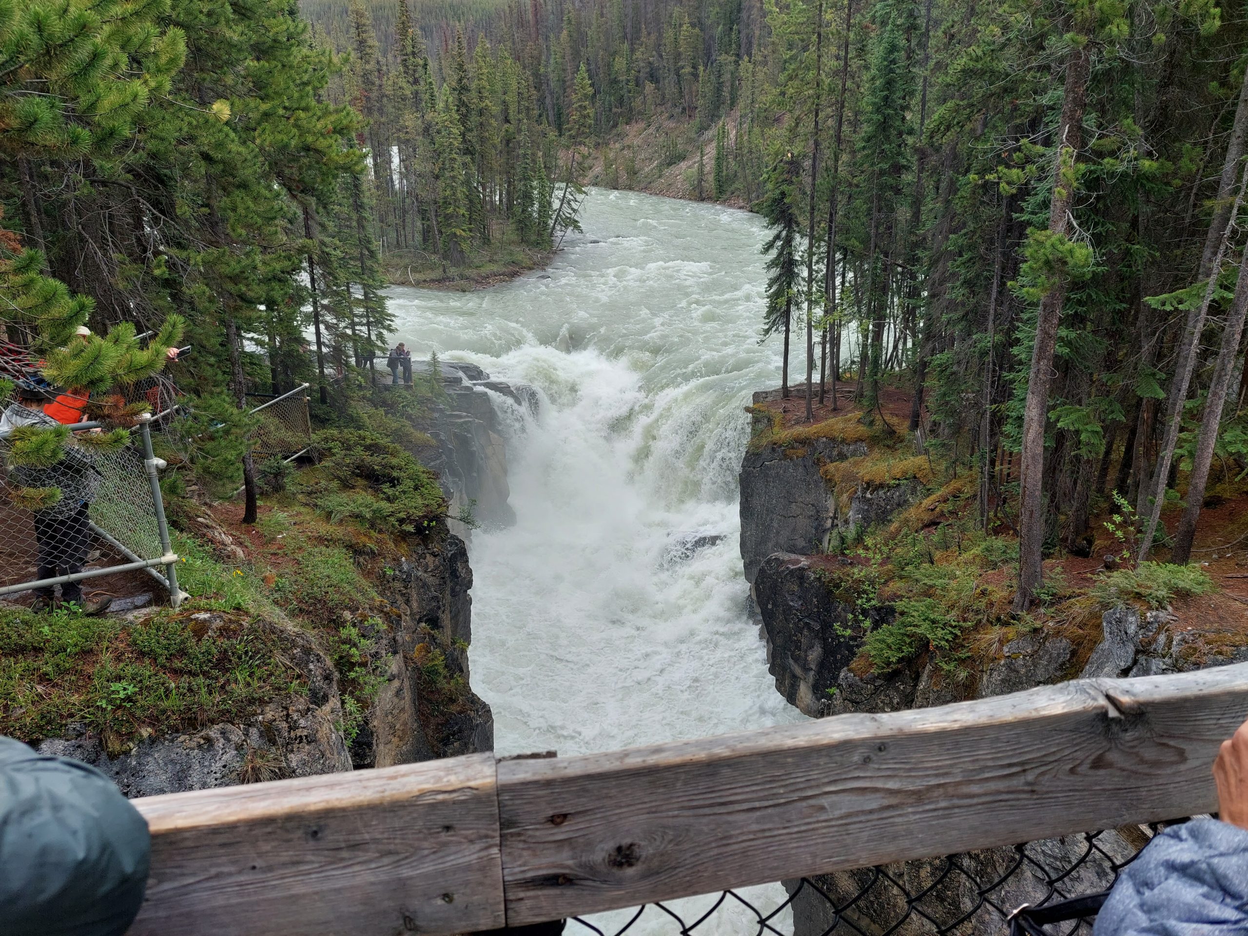
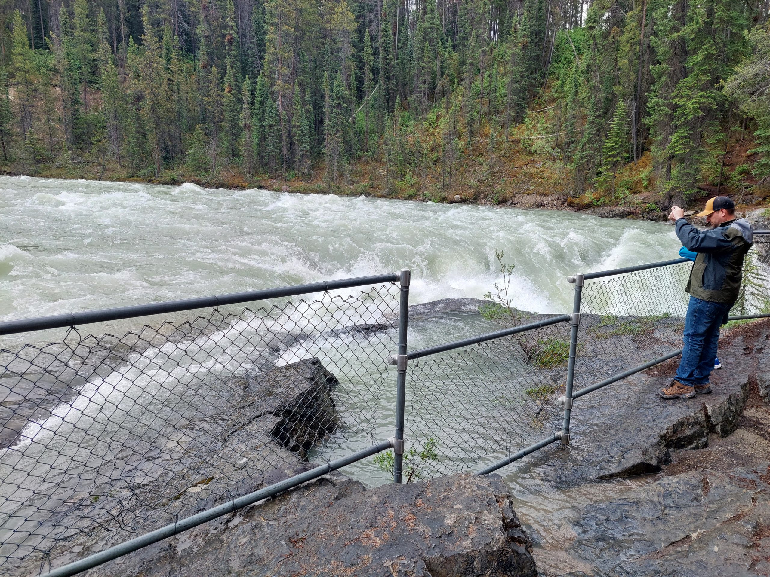
Our lunch break was at a restaurant just a short hike from Sunwapta Falls, so after we ate we walked up to check it out. This wasn’t as spectacular as Athabasca Falls, but it was still pretty cool, and you could also get closer to the water, which was actually kind of intimidating.
Sunwapta FallsRaging WaterAnne And JulieAnne And JulieSunwapta Falls
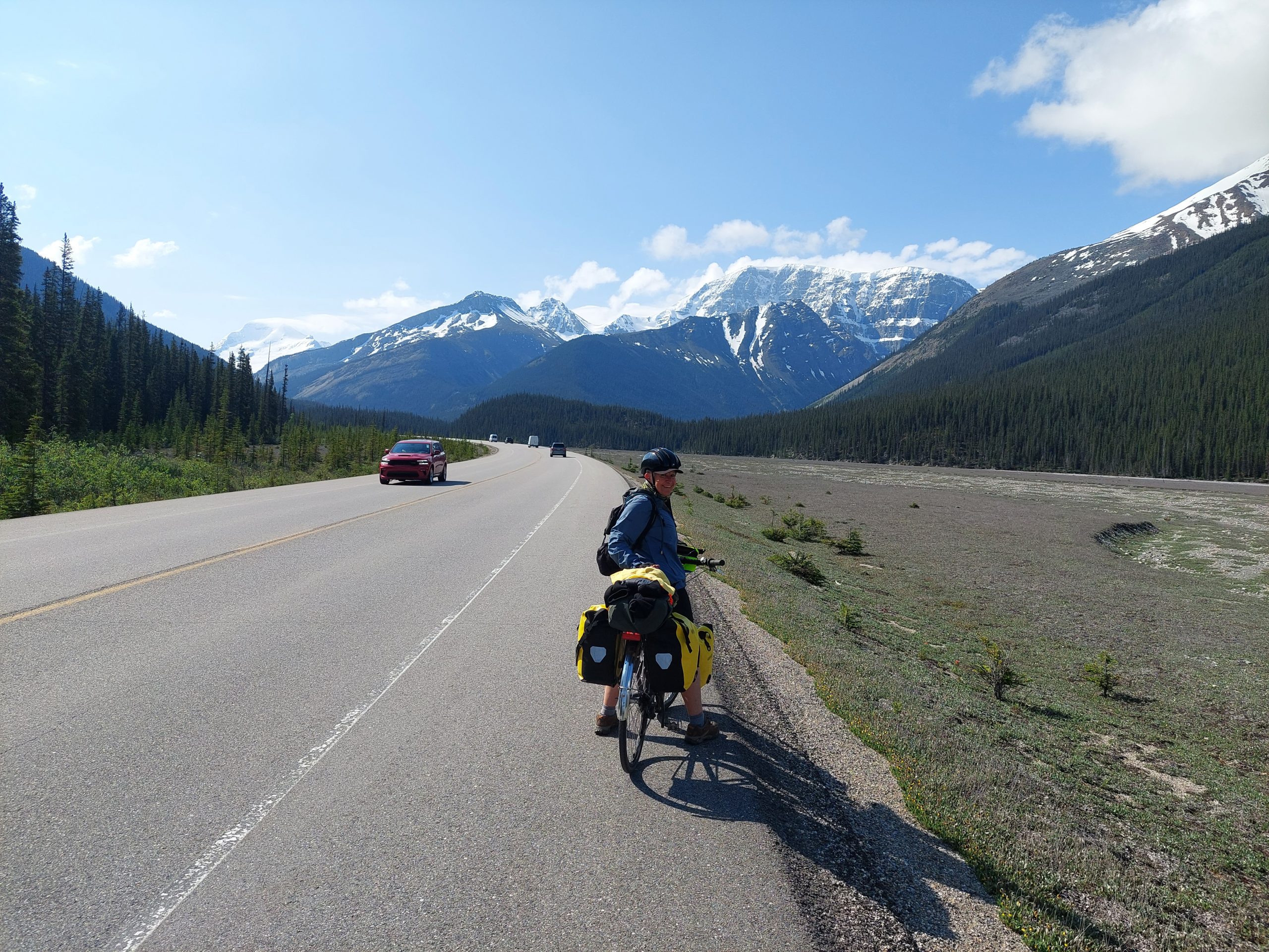
But while we were eating lunch and exploring the falls, the drizzly weather finally caught up with us, and we had to ride in the wet for a while until we got ahead of it again. Here’s my last picture before we got to the end of the day’s ride, Anne riding off into the rainy, elk-infested distance:
Anne Rides On
Now that I think about it, that might be why I didn’t take so many pictures — we were trying to outrace the weather…
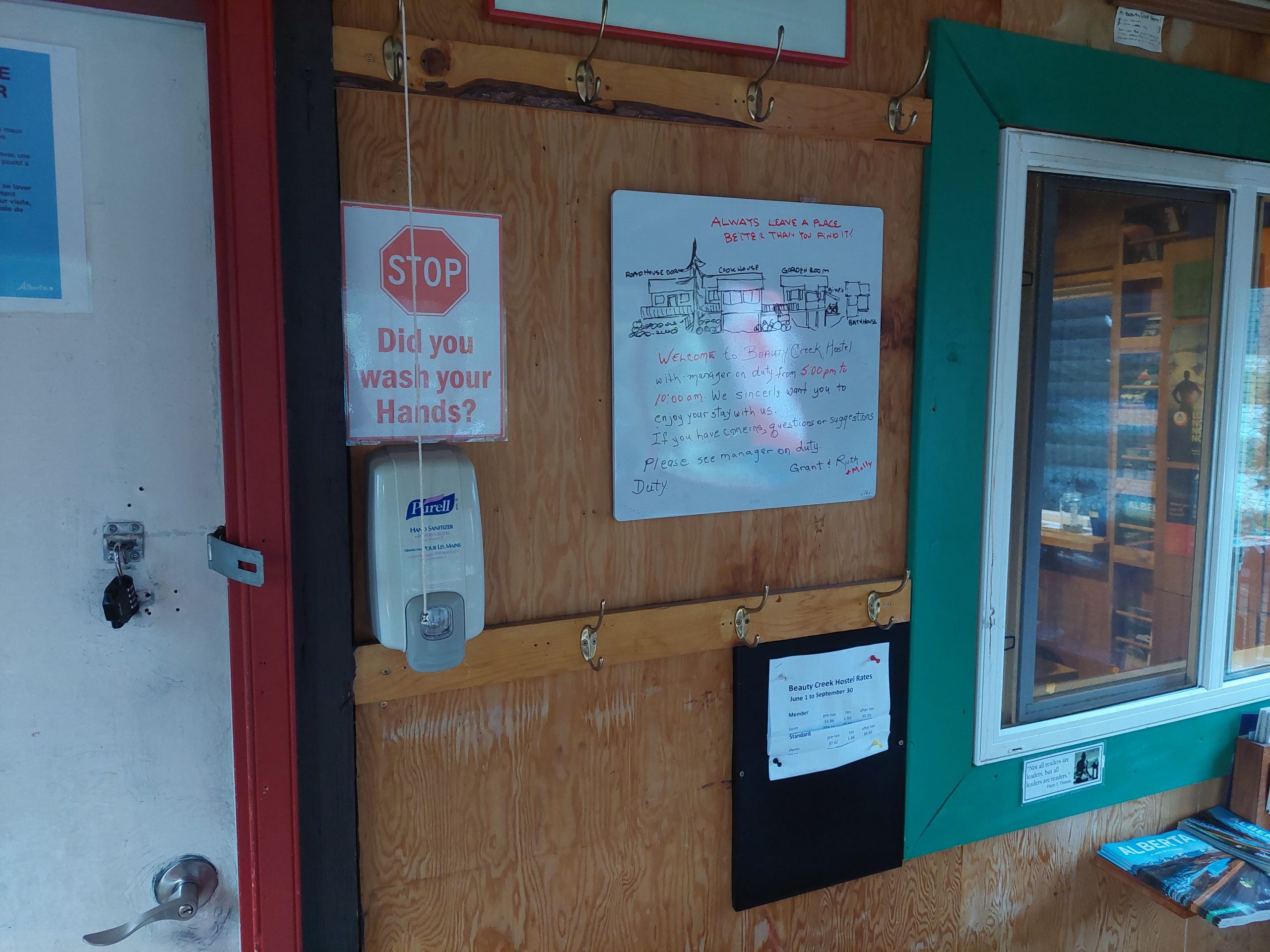
Beauty Creek Hostel
We got to the end of our day at Beauty Creek Hostel, which was a smaller (and seemingly more primitive) version of the one at Athabasca Falls: neither had running water, and both had potable water in containers, but at Beauty Creek we got our non-potable water from the Sunwapta river out back, which we boiled for dishwashing. I didn’t mind, the views out back were spectacular:
Sunwapta River At Beauty CreekBehind The HostelSunwapta RiverThe View From The Backyard
The manager at Beauty Creek was a gruff guy named Grant, who had a beer ready for every person who arrived under their own power. He gave out quite a few beers that night — besides us, there was a trio of Frenchmen (one originally French-Canadian) cycling to Mexico, and another guy, an ultra-endurance athlete, doing some kind of long distance training ride.
There were also two German women at the hostel, traveling by car; we’d seen them at the hostel at Athabasca Falls too, so it was a bit of a reunion to see them here. (One of them was an English teacher in Germany, and had been an exchange student in Alberta years before, and the two of them were apparently wild about board games — the hostels were all fully stocked with games of every description.) It got pretty crowded and sociable in that common room, and just as I left to crash for the evening, the French riders and the German women were beginning an epic game of Power Yahtzee…