• Category Archives looking back
  • As in “looking back in time,” things which have a historical connection.

  • Speaking of Eating

    We’ve been eating a lot of salad greens, and also turnip greens (that come with the turnips), and I turned to an old go-to recipe: pasta and tuna with wilted greens. I learned the “tuna in olive oil over pasta” thing from my work friend Vito, probably more than 20 years ago at this point, and over the years I modified the recipe to add spring greens. (I actually wrote up a vegetarian version — sans the tuna — for a recipe exchange once.) We had it with tuna one time this week, and another time I made it with smoked mussels. Both were excellent…

    Meantime, this is what I wrote ten years ago.


  • The Iron Bridge

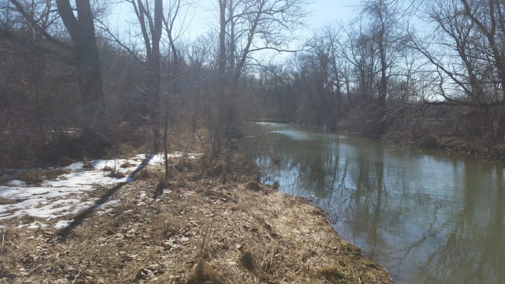
    Although it probably won’t rise to the level of my Calypso Island obsession, I’ve been intrigued by a story I ran across, about a nearby railroad bridge and a fire there that smoldered for 20 years…

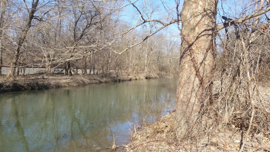
    I ran across this while doing some futzing around with OpenStreetMap, where someone had left notes on the map — “notes” are meant for marking items where corrections need to be made, but these notes were just interesting bits of historic trivia about certain places. (This, by the way, is a pet peeve of mine.) One note described an iron railroad bridge (on Iron Bridge Road) that had been covered by fill. There is a railroad that crosses Jordan Creek, and Iron Bridge Road which runs parallel to the creek, but the road and creek crossed under the railroad via tunnels, and the note in any case was nowhere near this particular spot on the road. Does the note indicate a different RR crossing, now gone?

    I did some research, and discovered that there was no other railroad crossing, the existing railroad was indeed the location of the iron bridge. This was part of a rail line build jointly by the Crane and Thomas Iron Companies, from Catasauqa out to local ore fields. It was originally a plank road when local roads proved inadequate for heavy traffic, and was converted into a railroad, complete with huge wooden trestle bridge across Jordan Creek, when the plank road proved inadequate.

    As time went on and trains got heavier, the wooden bridge was replaced with an iron trestle bridge, which was an engineering marvel for its time but was, in its turn, also discovered to be inadequate… So about 1916, the railroad build a set of concrete tunnels under the bridge (for the creek and the road to go through), then started dumping slag, “factory ash” and other industrial waste, building up an escarpment around and over the bridge. They dumped about 300,000 tons of fill between 1916 and 1919, and created the hill that’s there now.

    So far so good, and a moderately interesting piece of industrial history, but what caught my eye was a newspaper story from about 1942, lamenting the inaccessible iron now buried under the hill, which could have been salvaged for the war effort. Unfortunately (the article continued), the escarpment, which was basically a mountain of industrial waste, caught fire in 1917; it burned underground, melting the buried iron so it sometimes leaked out of the hill, and occasionally catching the railroad ties on fire, for the next twenty years.

    Twenty years! I thought that a twenty-year fire, complete with molten iron running from the ground, was just crazy, a story on the order of Centralia that locals would still be talking about, but I found almost nothing about it. Just another part of Pennsylvania’s Mordor-industrial history. OpenStreetmap correctly shows the current conditions on the ground (RR on escarpment, with road and creek passing under in tunnels), so I made no changes and closed the note.


  • Interregnum

    Posted on by Don
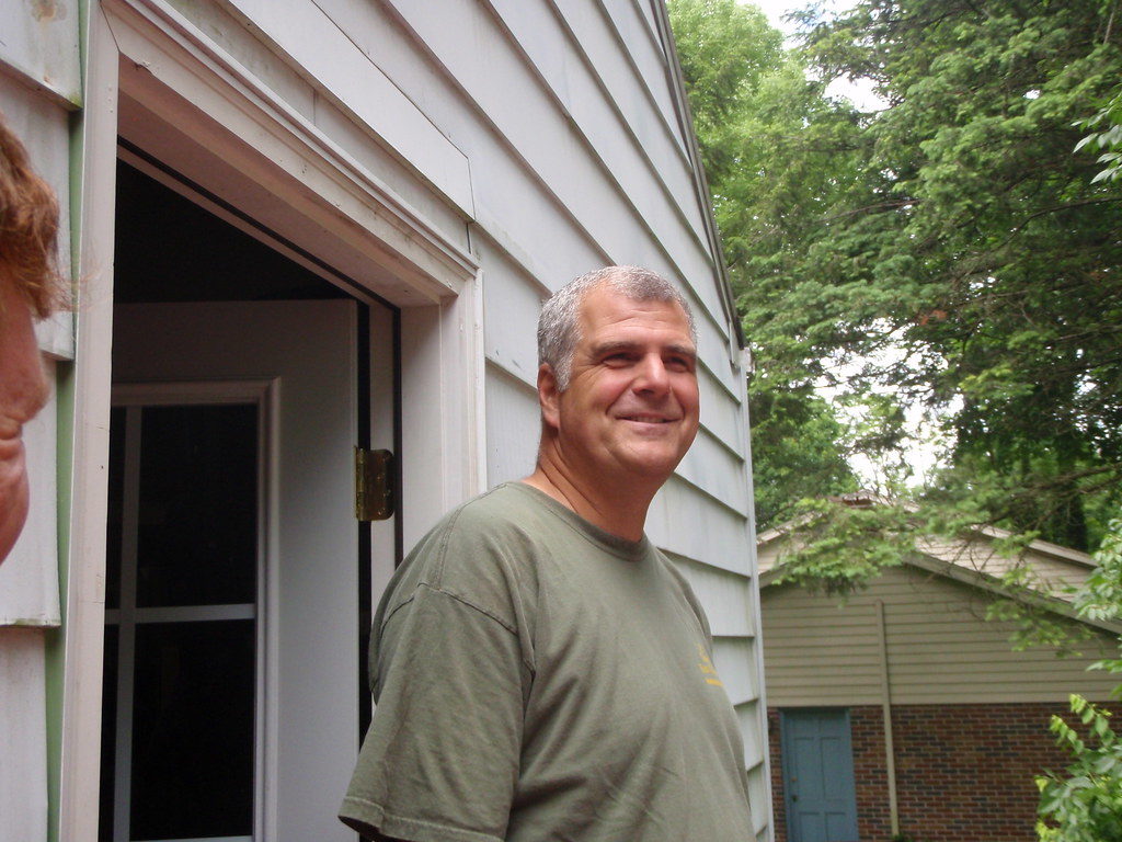
    Surprise! Brian at his birthday party.

    Brian would have turned 60 a few weeks ago. It’s been ten years since his big 50th birthday bash, and that means it’s only a week or so until the 10th anniversary of his death. The birthday party did not carry any extraordinary significance at the time, but it’s loomed larger in the years since, as the starting bracket for “the last weeks of his life,” and this year I’ve been thinking a lot about him.

    The world has changed so much since then. I wonder: what would he be like now, and how would he fit into this world? Our friendship was in the middle of changing when he passed away: it was early in my relationship with Anne, I was no longer a fellow bachelor, and he was no longer riding as much — or shouldn’t have been — and we were drifting apart. Where would we stand, as friends, now? It hurts to think this, but maybe I value him more than I would have, if he were still here and I didn’t have to miss him.

    But I do miss him.

    Godspeed you Brian, wherever you are. In Moab, or Jim Thorpe, on a goofy bike adventure or just sitting in some bar shooting the breeze, I’ll think of you as being there. I’ll remember you and smile.


  • Goodbye, Old Friend

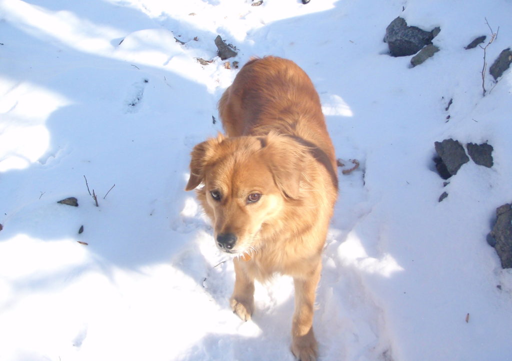
    dog in snow
    Langston in the Snow

    We heard the other day that our old dog Langston finally had to be put down. Anne had him when we met in 2008; he wasn’t more than two years old at the time, and we were the best of buddies for about two years, until it became apparent (rather I should say: undeniable, un-hideable) that he was making me very sick, and we had to give him to her ex. We saw him a few times since, the last time being about two years ago, when we all got together to plan Emmi’s wedding. He was a bit older and grayer, but then so were we, and he was happy to see us, breaking out some of his toys to play tug-of-war. He had a pretty good life, but I still feel bad that he couldn’t have stayed with us.

    I don’t have very many photos of him. That one was from a day of hiking and playing in the snow at Sals, in January of 2009.


  • Spring Sprang Sprung

    It was a perfect springlike day Monday, so I hopped on the Iguana to do a little OpenStreetMapping — there was a note on the website saying that a Moravian spiritual retreat just outside of town had been closed, and I thought if I could go there and confirm it on the ground, I’d go ahead and make the change when I got home. The former retreat was right next to a new park too, so I could also do a little exploring when I got there.

    My ride was pretty low-key: I was just out in street clothes and boots (and my helmet), something I’d been doing lately for casual riding; I was also inspired to keep it simple by Bike Snob’s recent article… I tooled up Main Street to Macada, then Altonah, then made a right onto Santee Mill Road, which is basically as bucolic as the City of Bethlehem gets. I was looking for a road/path off Santee Mill to take me into the park, but never found it (I saw later it was smaller than a sidewalk and very easy to miss). No matter, I continued forward, back into civilization, and entered the park from the front. Just outside the park entrance was a house where the retreat would have been; the house had posts out front, from which there might once have hung shingles, and the shingles might once have said “Spiritual Retreat” or whatever, but the shingles were gone now and there was a big “Private” sign by the driveway. So Phase 1 of my exploration was complete…

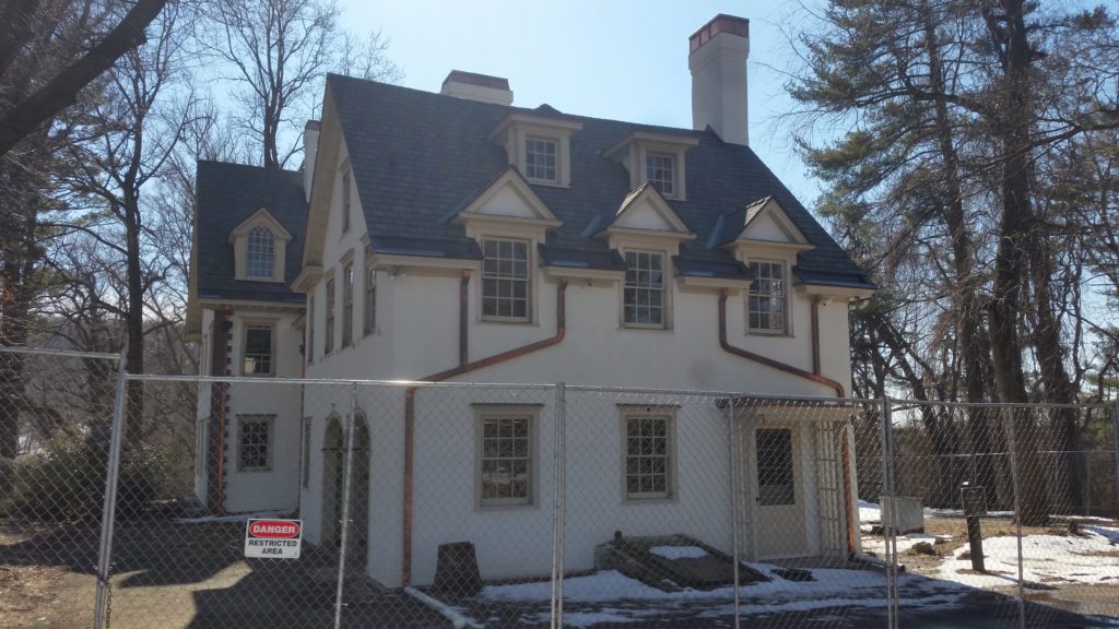
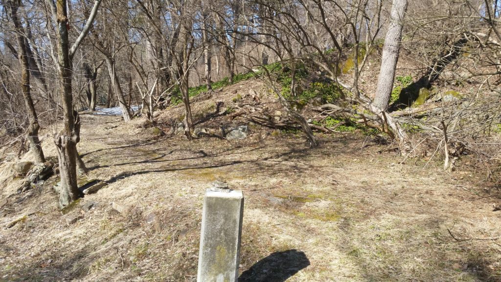
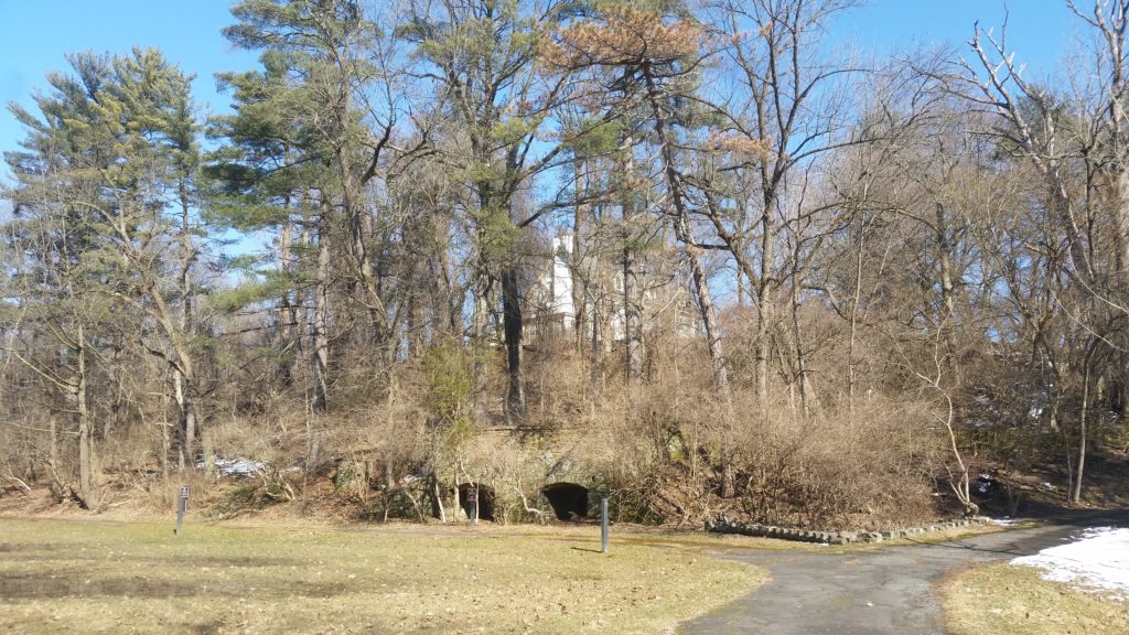
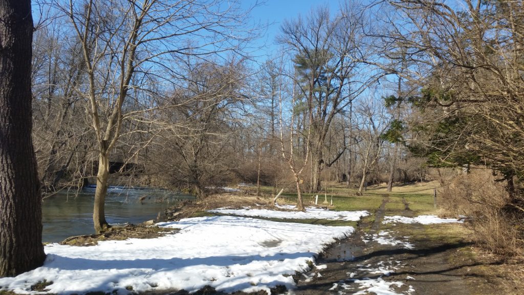
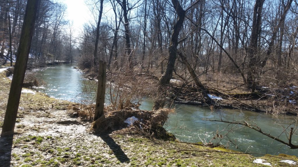
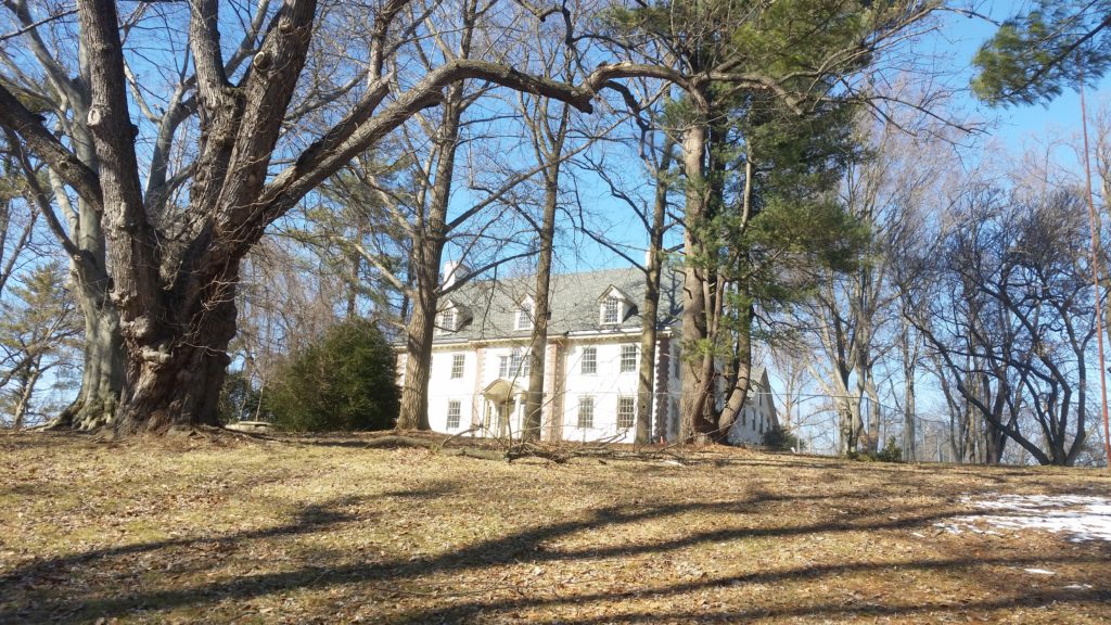
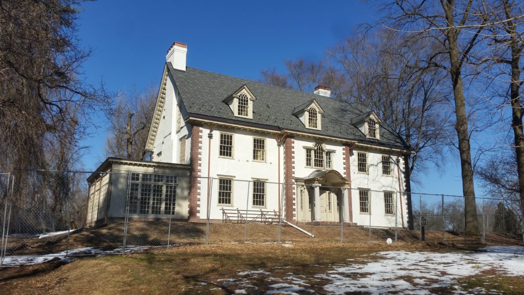
    That left the park — officially, “The Janet Johnston Housenick & William D. Housenick Memorial Park” but apparently just called “Housenick Park” by normal people. This is a parcel of land donated by Janet Johnston Housenick, granddaughter of Archibald Johnston, the first mayor of the consolidated City of Bethlehem (he was also chief architect of that consolidation, and a high ranking executive at Bethlehem Steel — he was as Bethlehem as it gets). The land was once part of the Johnston farm/estate, and it includes the old Archibald Johnston Mansion. The park is fairly new and still under construction/renovation, but there are a bunch of new footpaths and old carriage roads, and I cruised around for about an hour, taking pictures.

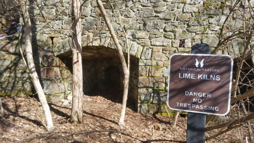
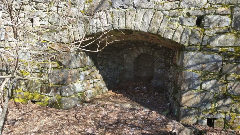
    It’s hard to believe looking at it, but the estate only dates from the 1910’s or 1920’s — it looks typical of a farmstead from about 100 years earlier — and the house was built using Bethlehem Steel beams. There was a boat house and tennis courts (or the ruins of them), but there were also lime kilns and the remains of orchards, ornaments in a hobbyist’s historical reenactment of country-squire life.

    The ride home was uneventful, and pleasant though the day was getting breezy. I returned via Township Line Road, which eventually becomes Altonah, and basically retraced my steps from there. I went about 16 miles all told, and total ride time was just over 2 hours


  • SuperWolf BloodMoon

    We watched the lunar eclipse the other night, going out every half hour or so for quick peeks — it was cold out! — until just a little after midnight. We used binoculars to get more detail, and we had a perfect view. We caught the very first appearance of the shadow, watched the gradually growing coverage until it was complete and the Moon was a dark red ball, and finally saw the shadow begin its retreat before we called it a night. (We saw photos later where the occluded Moon looked blue, but for us it was red, a deep and rusty, almost brownish red.) The show was awesome in all senses of the word, and “Superwolf Bloodmoon” sounds like a great name for a band — maybe names for two bands…

    Updating The Databases

    I’ve been updating my Sals trail map in QGIS, and I think I now have most of the new trail name/blaze changes, definitely all the changes I could verify on the ground, documented. I’m working on actually making a big paper map from all my data, which requires that I now learn some actual cartography skills. I put that project away to let it simmer for a while, and went back to my list of trail amenities.

    In terms of actual, usable data, that list is a hot mess: restaurants and bars have closed or changed names, new establishments have opened, many long-established places were still missing from the list (because they were never on OpenStreetMap, my primary source), and, worst of all, most of the amenities had no other information than name and location. I spent a good part of the last few days adding and removing establishments, and finding phone numbers and other contact info, and generally updating the list. I still have a ways to go, but Bethlehem is starting to look complete.

    The final database update was for my family tree, which I maintain in GRAMPS genealogy software. (The problem was that I might have “intercalated” an imaginary person into the tree: there is a Dorothy Murphy in my database, a distant cousin who might have had a niece Dorothy Mahoney, and either Dorothy Mahoney married Tom Hagenberg, or Dorothy Mahoney never existed and it was Dorothy Murphy who married Tom Hagenberg. My database had the “Dorothy Mahoney is real” version.)

    This issue came up a few years ago in conversation with my parents, but I never got around to fixing it in GRAMPS, and eventually forgot which version was correct. I happened to be looking at old photos the other day though, and there was Dorothy Hagenberg, handing out cake at a child’s birthday party in the late 1940’s, and the whole thing was back in my face… A little email correspondence this week with Mom got the family tree straightened out, and fixing it in GRAMPS was surprisingly easy — Dorothy Mahoney is no more. There’s a lot of missing information in this database as well, but at least that one known error has been corrected.

    Cello Time

    My cello playing has been coming along, not in leaps and bounds but I am progressing… I’ve got a few songs under my belt now, and I am working on possible duets with Anne, and my lessons are starting to get beyond the very basics — I’m now working on the regular basics…


  • Trail Summit

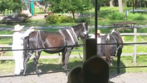
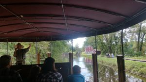
    So Sunday (last Sunday, not yesterday) was a recreational day for the Eastern PA Trail Summit, and I had an invite — a free pass really, courtesy of the D&L — to the whole event, so I rode to Easton to check out the Canal Boat ride and the industrial history tour. Both were awesome despite my stubbed toe…

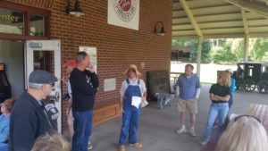
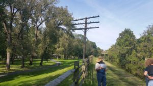
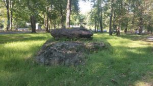
    (Both events were informative, but while anyone can get a picture of canal boat life from what’s currently on display, and it’s common knowledge that there were once many factories along the canal, it was truly eye-opening to have someone point and say, “right there was a giant textile mill, and in that empty field there was once a blast furnace, in fact that boulder is what’s left of its foundation.”)

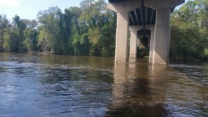
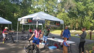
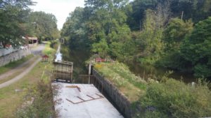
    Very cool, and here are some photos from Sunday:

    Scott S was also at the park that day, doing a kid’s bike ride with the Easton Police. That was pretty cool, and nice to see some cycling friends there with their kids.

    The Trail Summit proper was Monday and Tuesday. I had no real idea of what to expect — I actually had to look up what a “breakout session” was, and what the difference was between “keynote” and “plenary” speakers — but they were two awesome, informative and inspiring days.

    I learned a new term – “inland port,” sigh — from Northampton County Executive Lamont McClure, who spoke of it as one of several competing visions for the Lehigh Valley (as opposed to “nice place with trails,” I suppose), and the keynote speaker, a woman who thru-hiked the AT and spoke of it as a life-changing experience, made me realize that the Lehigh Towpath changed my life as well. There were morning sessions on redesigning roads to accommodate trail sections, and afternoon sessions on marketing your town to trail users, and a cyclist, the speaker for Tuesday’s lunch, said we need more amenities and signage. Amen brother!

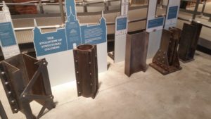
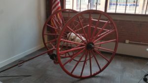
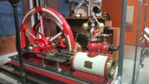
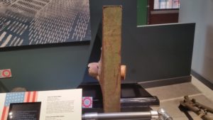
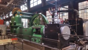
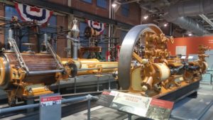
    There was a dinner Monday night at the National Museum of Industrial History, so of course we all toured the museum. Here are a few photos:

    Not everyone was an awesome speaker, even if their ideas were good, and not every session was informative — there were a few I actually disagreed with — but all in all, it was an awesome conference.


  • Blast From The Past

    Among my more prized possessions is a book called Indian Paths of Pennsylvania, by Paul A. Wallace. I was struck by a sudden enthusiasm the other day, and wanted to take a look at something in it, but could not find the book — I tore the house apart but it was nowhere to be found. Along the way though, I did manage to run across one of my first MTB guide books, Joe Surkiewicz‘s The Mountain Biker’s Guide to Central Appalachia. This was a book that I got more than 20 years ago, one of several I bought in my early, “explorer” phase, long before GPS or online maps, and though I used it mainly for Pocahontas County (West Virginia), and Michaux State Forest here in PA, there were a few other trails and areas I checked out, including a ride I did once in Bald Eagle State Forest.

    This Bald Eagle ride started from a trailhead off of I-80, and I mean immediately off I-80, at an exit that ended with a Forest Service parking area. It was the strangest Interstate exit I’d ever seen. (I remember the author also found this “inexplicable” exit notable.) This odd trailhead actually was the only part of the ride that made an impression on me: although I had fun — and saw a bear up close too, which luckily ran from me because my brakes were so squeaky — I spent most of my time semi-lost, and the trails I saw really didn’t excite me. I never went back.

    Fast forward about 5-10 years, and I bought another MTB guide, this one of Pennsylvania, from local author Rob Ginieczki. It quickly became one of my favorite guide books, mainly because the author’s ideas about trail characteristics and quality closely matched my own. I trusted his assessments, and I made a point of checking out as many of his recommended rides as I could, including one he listed as “Cowbell Hollow” — a 29-mile loop starting from R.B. Winter State Park, over mixed jeep roads and singletrack, whose high points are Cowbell Hollow Trail and Top Mountain Trail. It is now one of my favorite “destination” rides, and for years I made a point of putting together a group ride there once or twice a year. (Unfortunately, I was not able to make it out to these two on my most recent visits, though I did get to discover a whole bunch of similarly awesome trails a bit further west.) One thing caught my eye though — every drive out to R.B. Winter, I’d go past what I could swear was that crazy exit on I-80, just east of the R.B. Winter exit.

    Fast forward another 10+ years to just the other day, when I unearthed that first guide book. Since we had been up in that part of the state recently, I immediately thought of that ride with the trailhead on I-80… I flipped open the guide, found the ride with the “inexplicable Interstate exit,” and the loop was basically Cowbell Hollow and Top Mountain Trail.

    Well I’ll be jiggered.


  • Scenes Inside The Lock Tender’s House

    Posted on by Don

    What a fun afternoon! I’d arranged to put in some volunteer time today with the D&L Canal people, so I took off down the towpath just after eleven, on my Iguana, to do some cleanup work inside the Lock Tender’s House at Hugh Moore Park. I’d forgotten how fast and fun the Iguana was on the towpath, but before long I was just flying along effortlessly, and was at the Canal Museum by 12:00. Meet up with archivist Martha, and then we go up to the Lock Tender’s house itself, a place I’d been many times but never inside.

    Then came the  “work” part, mostly vacuuming and dusting, getting the rooms ready for the season opening, but even that was interesting, since I was on the other side of the “do not enter” chain, handling stuff the public can only look at from afar. Actually, the house is not that old, having been rebuilt after a fire in 1928 (possibly an arson job from revenge-minded bootleggers, or so I learned today), and while some of the furniture was obviously ancient and worn, some items in the parlor, the room I mostly worked in, could have easily been mates of things in our living room right now — I’m looking at you, hurricane lantern…

    Anyway, here are a bunch of photos I took inside the house.


  • Paradise Lost

    Posted on by Don

    Or maybe “Paradise Destroyed” would be closer to the mark. I’ve been on a mini-obsession over that island in the Lehigh (Calypso Island) that Calypso Street and Calypso Elementary are named after. Here’s what I found so far:

    It was an island near the south side of the river, maybe a quarter mile west of the current Hill-To-Hill Bridge. Owned by the Moravian Church, it was maybe 13 acres total and covered in catalpa trees, with a pavilion and a natural spring, and was a popular spot for Sunday School and summer picnics — it was named after the Greek nymph Calypso by George Henry Goundie at the July 4th celebrations there in 1869.

    Unfortunately, environmental stresses (coal and other pollution from the steel mills and railroads, frequent flooding, and increasing difficulty navigating on the Lehigh) started cutting into the popularity of Bethlehem’s river island resorts in the late 19th century. In the meantime, the Lehigh’s south bank bulged south at Calypso Island, forcing a big curve in the railroad at that point. In 1902, the Moravians sold the island to the railroad, who dug it up to fill in the south channel and straighten their line. (Judging by old maps, I’d say that Reeb Millwork currently sits on the old island’s infill; you can still see the river’s old bulge in the shapes of Brighton street and the millwork building on Google Earth.)

    It may have been gone, but I guess it wasn’t forgotten for a while: Calypso Elementary was built around 1916.