• More Travels

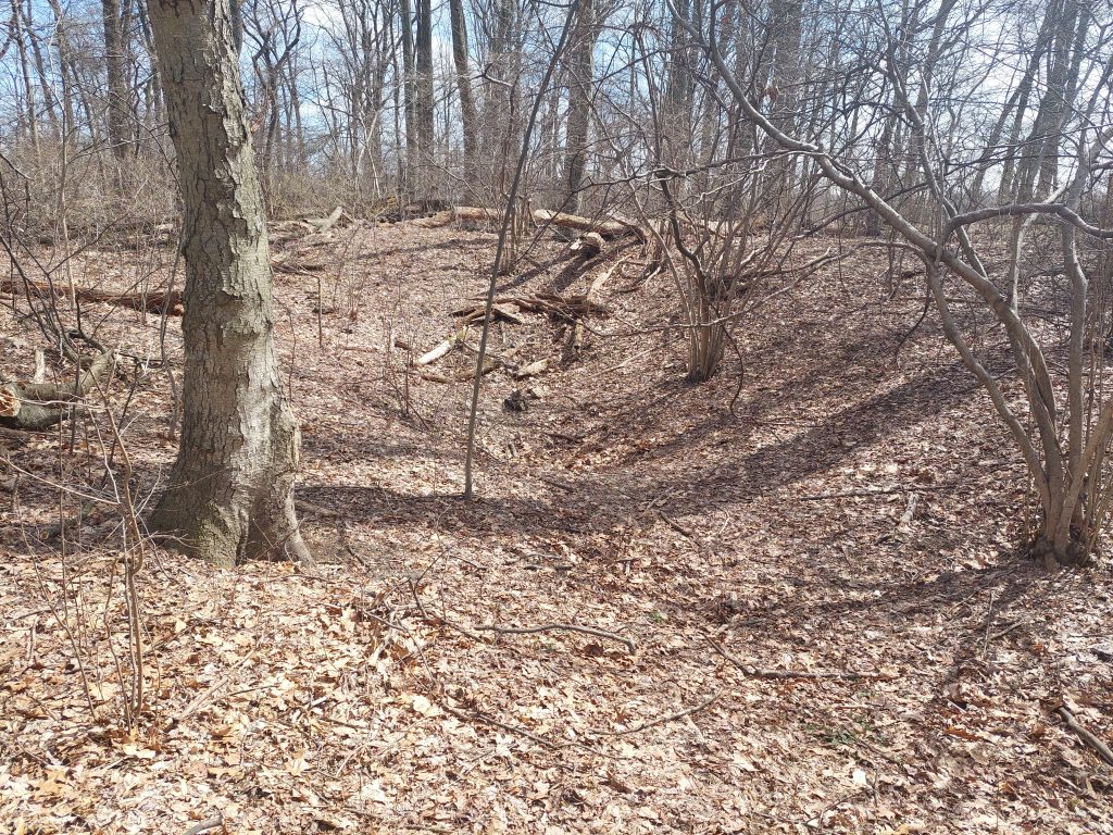
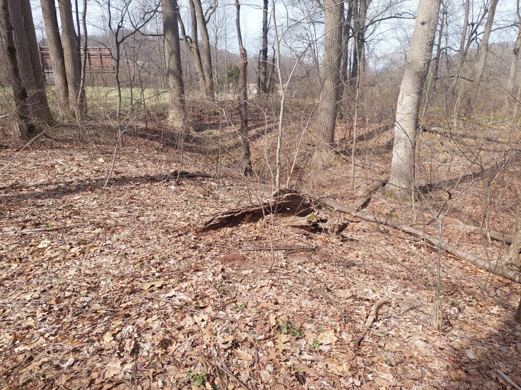
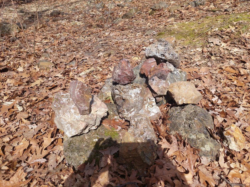
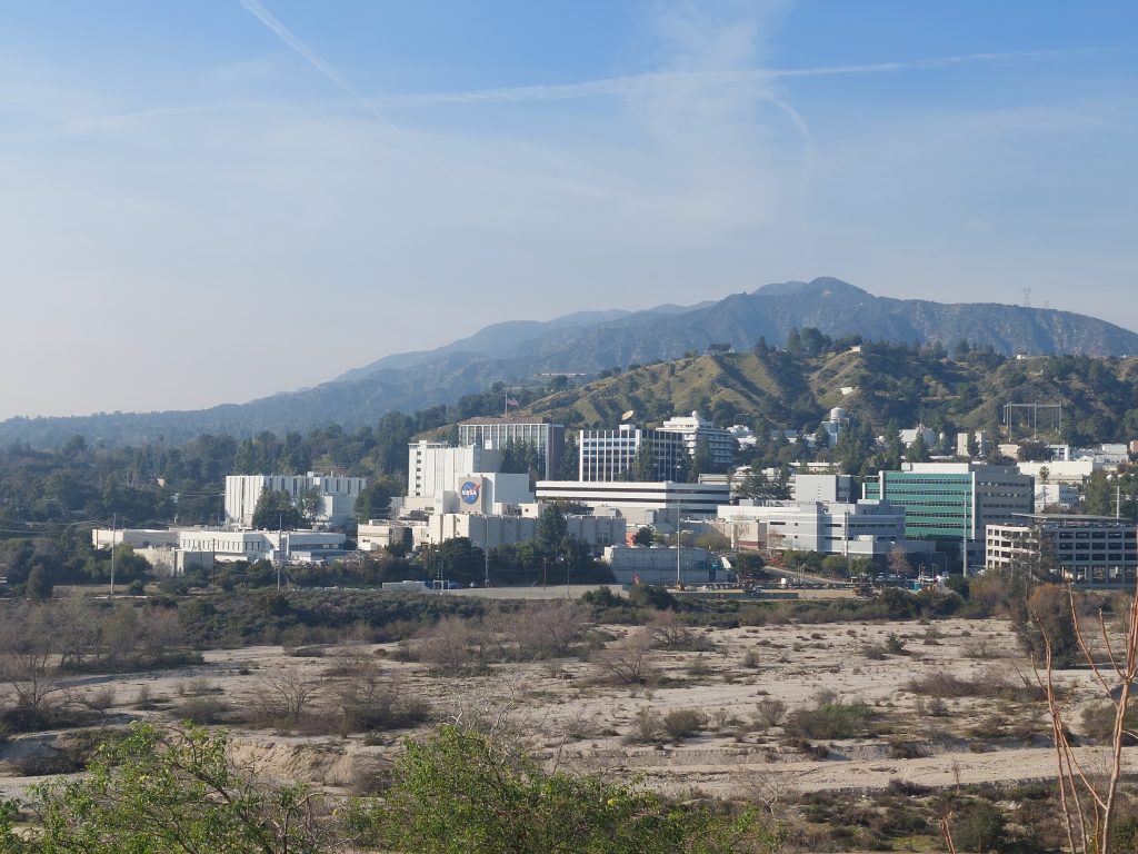
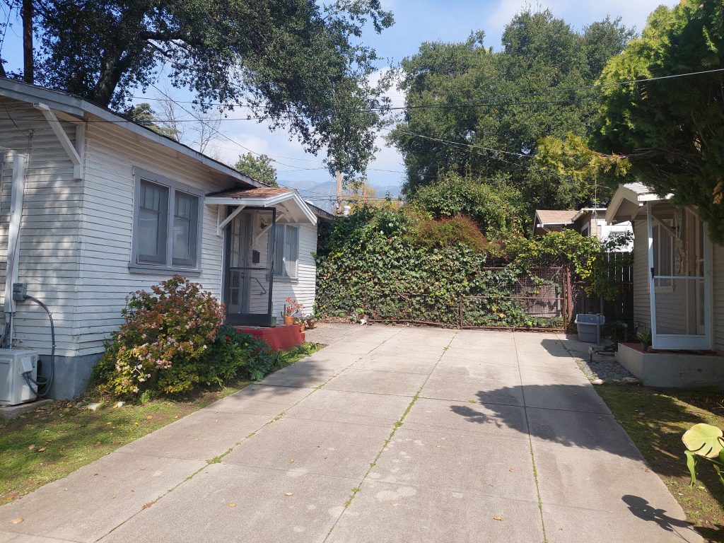
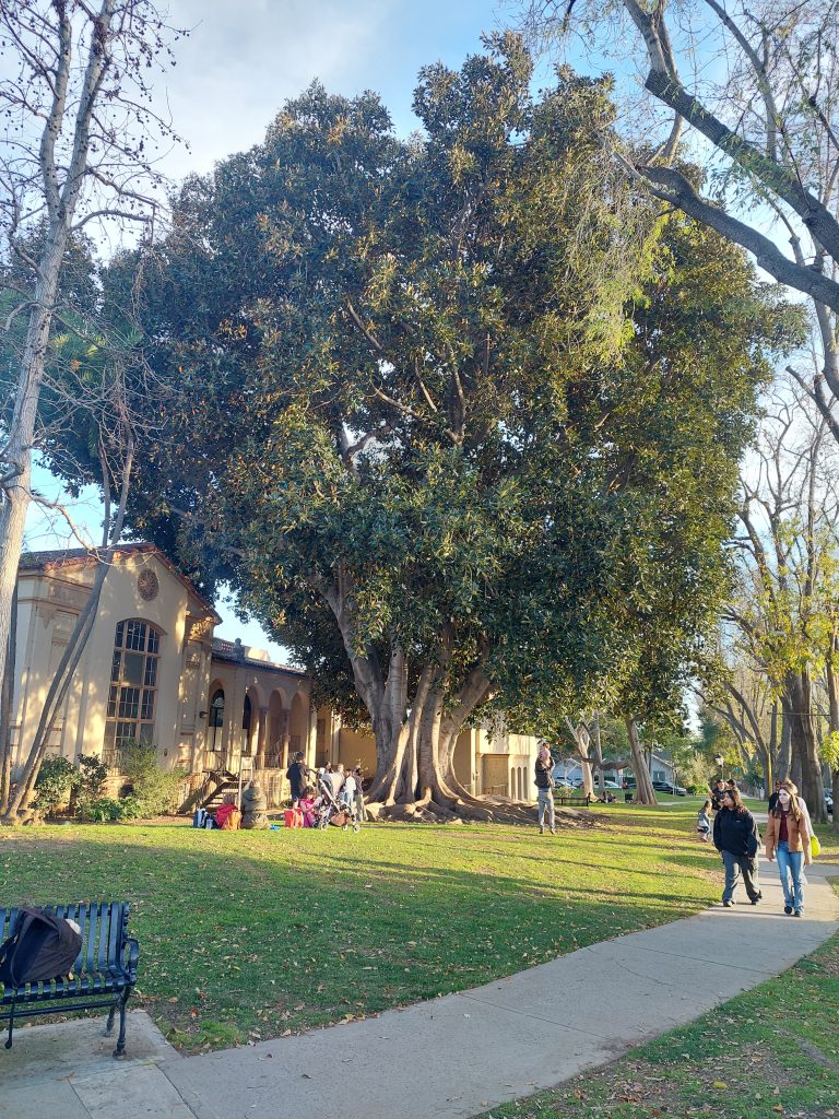
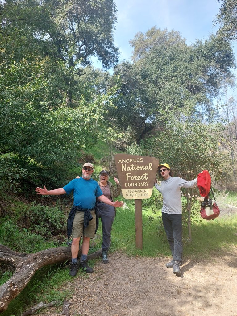
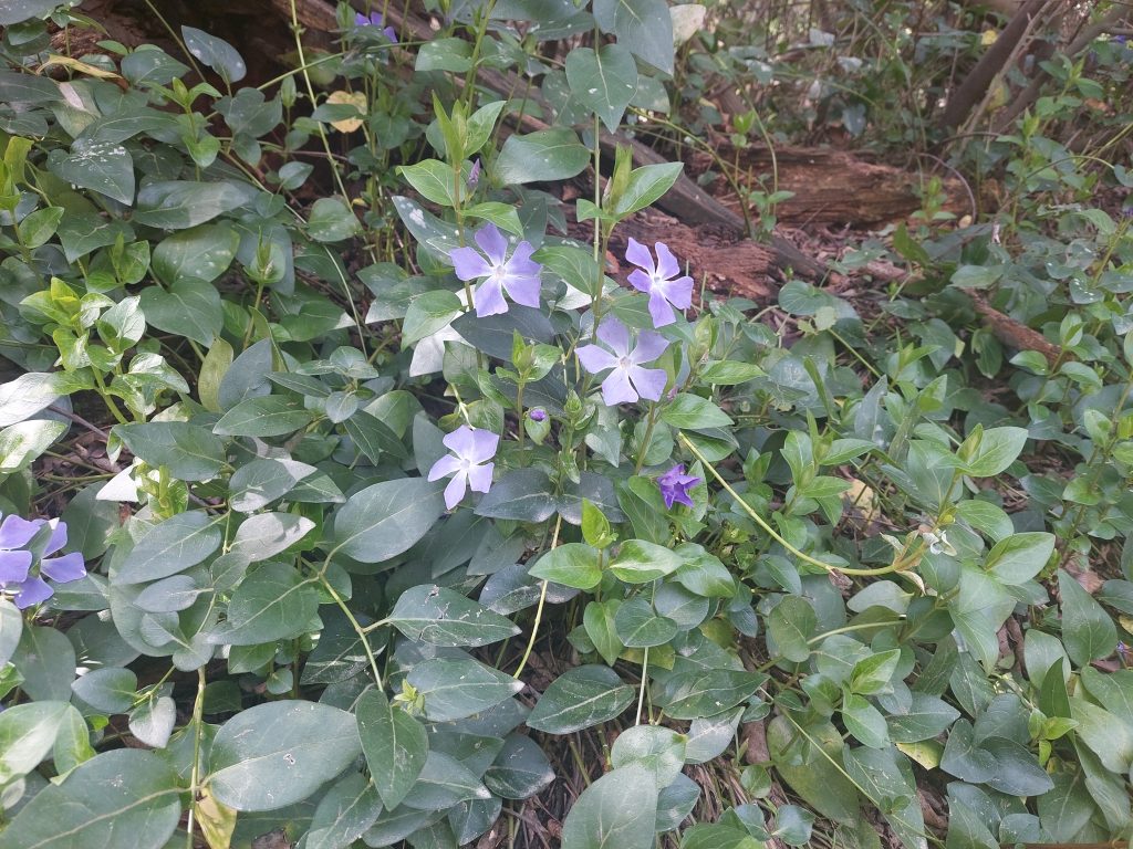
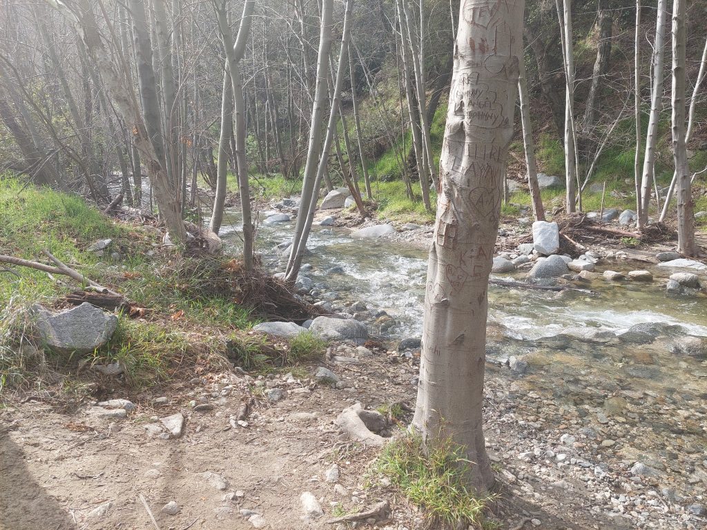
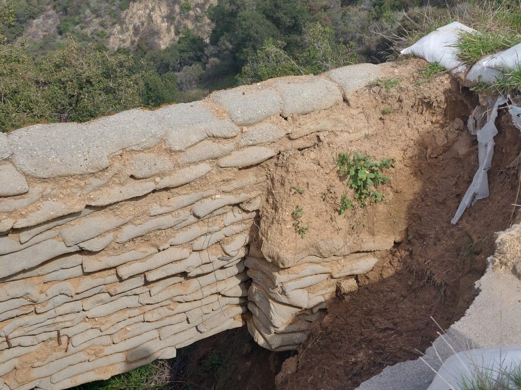
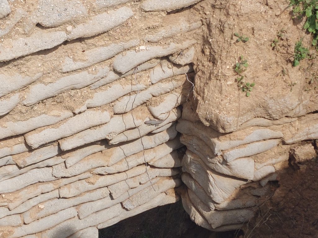
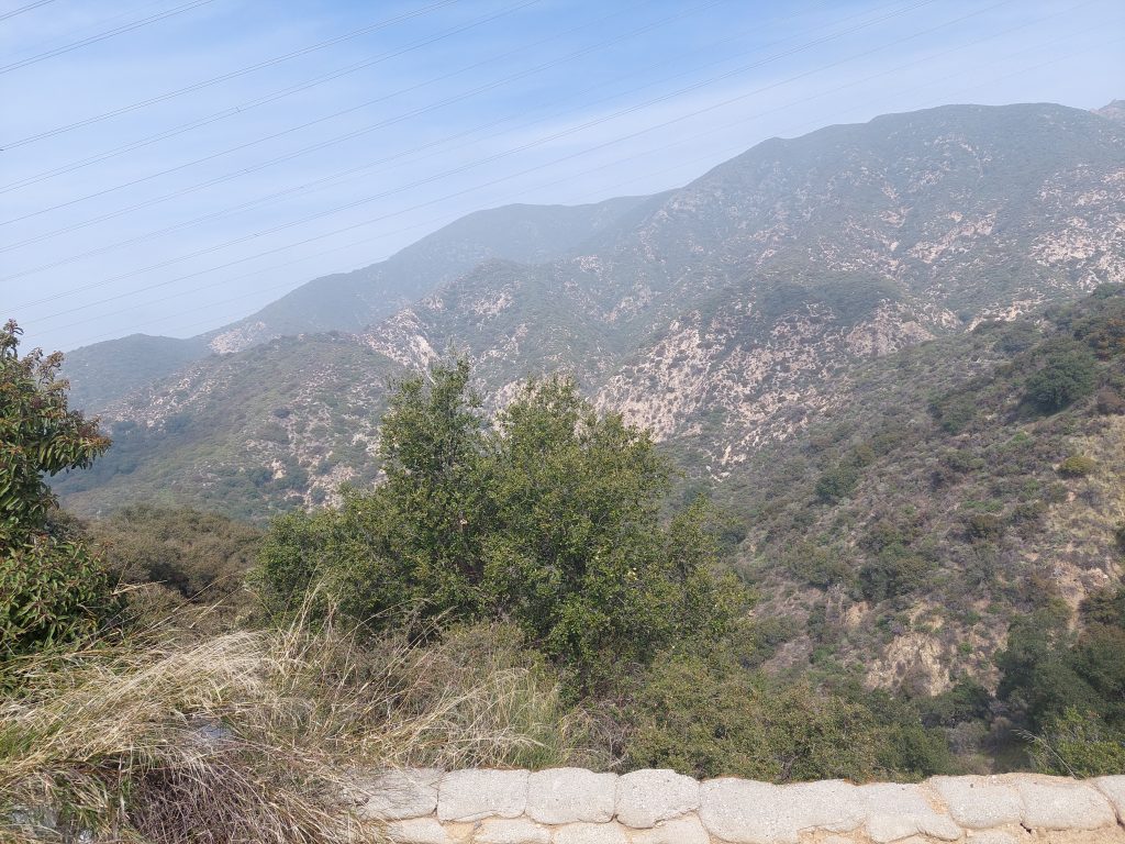
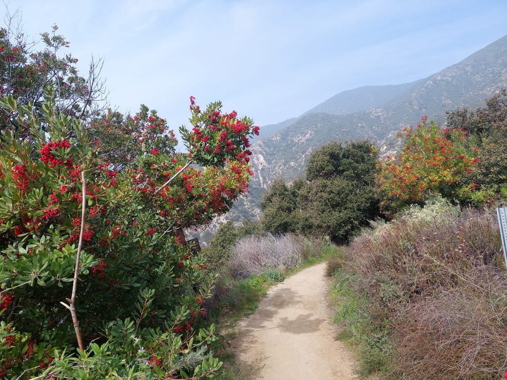
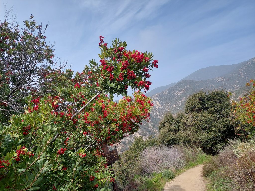
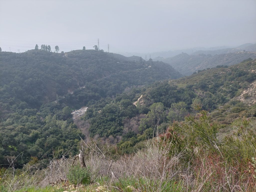
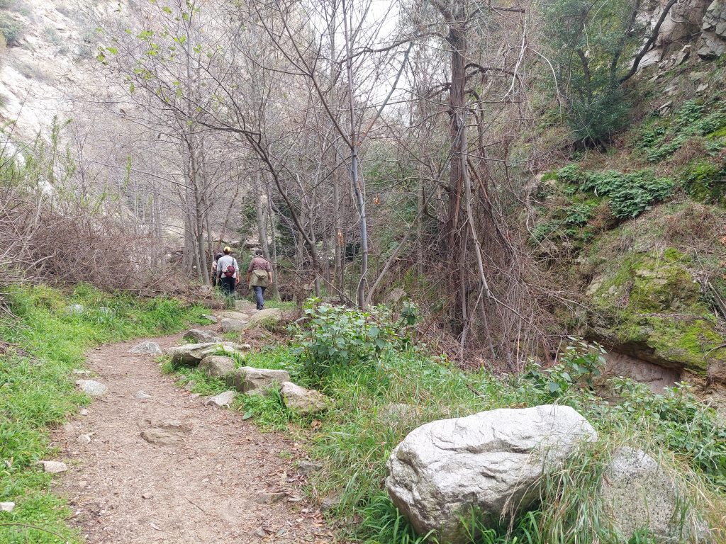
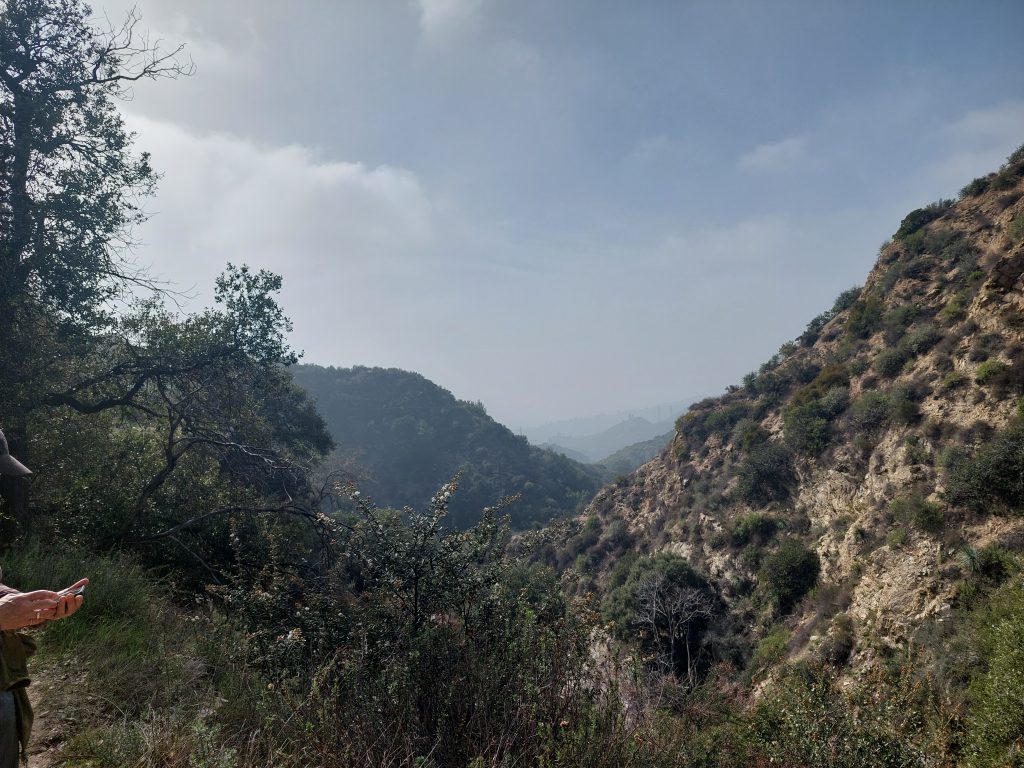
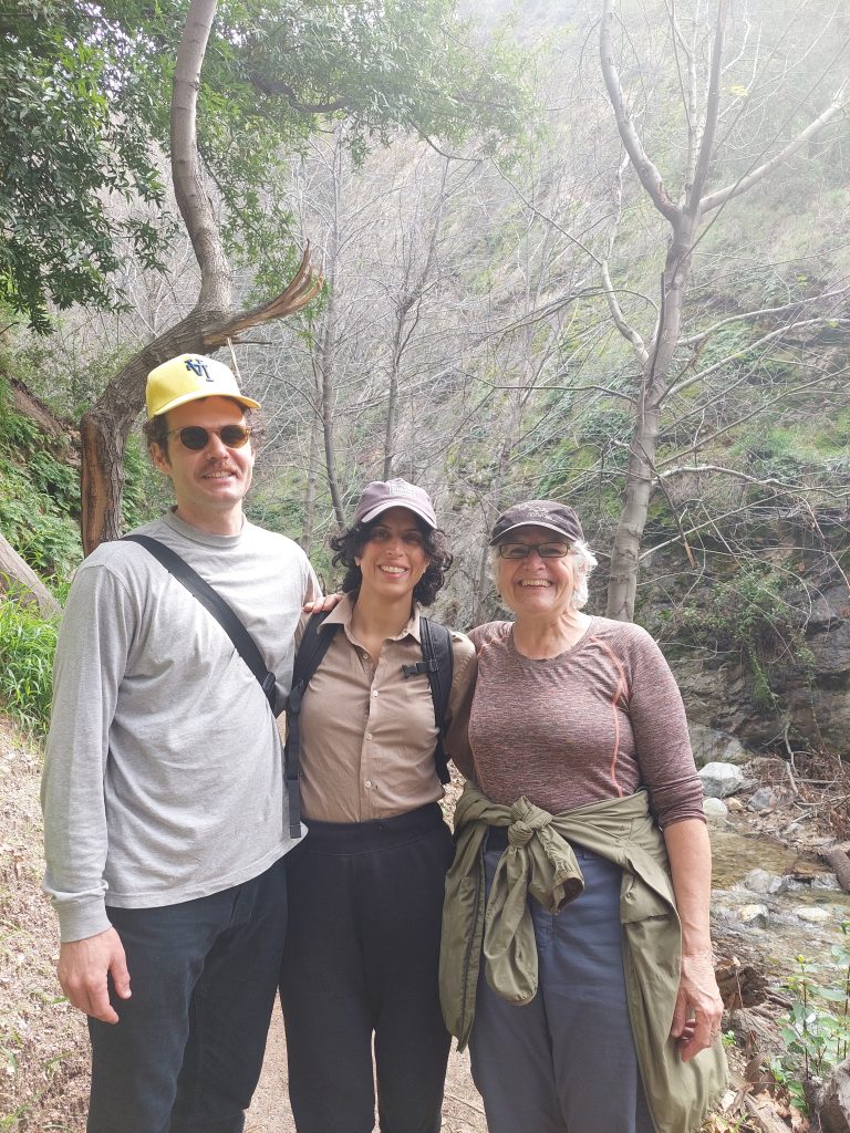
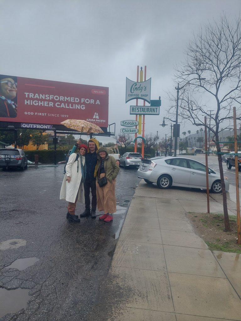
    We just got back from a visit with Ben and Jenny in Los Angeles, or rather Altadena, just north of Pasadena. We stayed in an AirBnB (meh, or maybe even “meh minus,” but it was someone’s entire house to ourselves, and it was close to their place in Altadena), and we got in some biking, hiking, cooking, and even a nice dinner with Jenny’s folks at a Persian restaurant. I’ll have more to say I’m sure, but for now here are some pictures:

    It was good to see those guys.


  • Traveler

    We were supposed to go to Connecticut today, but when we got up this morning Anne was sick, either something she ate or (more likely) some stomach bug, which she may have caught from Iris, who has been “pukey” and out-of-sorts lately.

    I’m currently at the Essentials Cafe, a new place in the old Moravian Church parsonage on 3rd Avenue. This is probably run (maybe not directly) by the Moravian Church, as a “pay what you can” breakfast/lunch spot. Pretty decent, quiet, it just opened a few weeks ago. They have food, but I just got a cup of coffee; my ultimate destination is Bitty & Beau’s, the coffee place catty-corner from the Brew Works.

    If Anne feels better tomorrow we’ll probably still head up — her sister’s mother-in-law passed away and the funeral is Monday. Long drives with a stomach bug are not fun, and nobody wants to be the super-spreader of anything at a funeral, so we’ll see.

    We’ll be heading to LA to visit Ben & Jenny on Wednesday.

    Meanwhile, I was down visiting my parents last week, and we also drove up to a bike shop in Alfred NY for Anne to buy a new recumbent bike. (Alfred is just past Corning, so on the way home we stopped at the Museum of Glass.) We finished the week with a visit to her Aunt Kay in Jim Thorpe. Lots of traveling going on!

    The Sporting Life: We’ve been getting a lot of hiking practice in lately, getting ready for our New Jersey section hike on the AT with Julie. (There’s also been a lot of research, and some buying/borrowing of equipment we’ll need but don’t have, thanks to neighbors Ed & Jan and Matt & Diet.) The weather may go back to “winter mode” soon, but we’ve been enjoying the warmer weather with a bunch of bike rides. Spring is coming.

    And finally, even the slowest horse crosses the finish line — Anne and I are both done with all the Slow Horses novels and novellas. We don’t know what to do with ourselves now… I’m currently reading “Great Feuds in Mathematics,” which is kind of meh but it keeps me occupied.

    So that’s my story!


  • Dry

    The humidity in the house has been really low lately, no surprise with all this cold winter weather. Anne and I have been struggling with dry skin and sinus issues, but for me the big issue has been its effect on my cello: as it dries, the wood shrinks slightly, which makes it play flat, and recently the pegs have come loose so it became really flat and un-tunable. I had to put drops of water on the pegs, then put the cello in its case with a damp-it to recuperate.

    The cello is fine now, and the weather has been moderating — warmer, rainy — but we still broke out the room humidifiers upstairs.


  • I Was A Server Bot On Rigel 8…

    This post’s title is part of a song in my dream last night, sung in a syncopated, Latin style, maybe a bit like Tom Waits’s “Bye Bye Baby,” by a chubby waitress, who was understood to be at least partly machine, in a diner that was understood to be in space, about a date she went on (with some guy who looked a bit like a cyborg Sam The Butcher). It’s mostly faded now of course, but I woke up with the song in my head, and I just thought I’d document what’s left of it here…

    Meanwhile, Reading: I’ve been burning through the “Slow Horses” novels and novellas; I’ve probably read seven or eight by now. Great page-turners, Anne is also reading them and recommended them to me. We were out last night with John and Donna, who are watching the series on TV, and a good part of our evening conversation was about “Slow Horses.”


  • Beating The Bounds

    I do better with a project and a goal.

    – Julie G

    We just got back from a nice walk with Sarah & Marc, part of a project we’re doing with them where we walk the perimeter of the City of Bethlehem. We’re doing it in sections, and doing the easier ones right now: last Sunday was an out-and-back on the towpath heading west (maybe 4 miles), and today was (about 6 miles total) up Club Avenue and Pennsylvania Avenue, plus getting to and from the city line. A really pleasant walk, both times. (We also did a hike yesterday, about 5.4 miles around Sals, also really pleasant.)

    FYI: we’re getting ourselves into hiking shape, because we’ll be doing a week on the AT in April. We plan to do the New Jersey section, probably over seven days or so, with our friend Julie G (who did the Alberta ride with us in 2022). We were all joking about how much better shape we were in before that ride, and how getting ready for it lent structure to our fitness regimens at the time, and came up with this trip as our new project. We’re probably closer to physical readiness right now than not, but there’s a lot of other pieces of the puzzle we have to deal with: backpacks, food & logistics, our actual start & end points, etc. We’re working on all of it.


  • COVID Memories III

    I wrote two previous posts (here and here) about looking back on the weirdness of the early pandemic . I remember reading about the influenza pandemic of 1918, as pretty much everyone probably did, and it struck me how so much of that (admittedly very dramatic) time became a part our collective memory, except the pandemic. Now I look back on our own pandemic experience from the vantage of — what? three years? — and it’s like a veil has come between that time and now, it was so different from what came before and “the new normal” that came after. We were all just on ice, waiting for what would come next.

    Anyway:

    • Everybody took walks. We would all be walking through the neighborhood, especially after dinner, and if you encountered another person or couple, which happened multiple times every block, you’d cross the street to avoid them. (Six feet was the suggested minimum distance, but we’d usually go for 30 feet or or more.) We didn’t want it to look like we were being surly or antisocial though, so we’d be extra friendly to whoever we met, only from a distance.
    • Zoom became a thing. It was like the perfect moment: Zoom worked well on all systems — the only one that did so at that exact time, it seems — when we suddenly all needed something like that. Group zooms with family and friends were a regular thing for about two years.
    • My cello lessons continued, but as Zoom lessons. I did that for more than a year, despite the limitations of music over Zoom.
    • We used to hang out with John & Donna (and sometimes others like Scott & Kellyn), at Brew Works every pre-COVID Sunday night, but when we couldn’t hang out in person we had “virtual drinking nights,” again using Zoom. That was weird but fun to do, and it helped preserve our sanity. Strange, I think we engaged more, in a communicative sense, in our zoom meetups than in real life, but there was a flatness to it, something missing… it was way more satisfying to sit next to each other at the bar, like bumps on a log with nothing to say.
    • We eventually started doing “porch visits” as a way to hang out in person, getting together over drinks, outside, at someone’s house. We busted out some Danish-style coziness by using blankets as the weather got colder, and switched to warmer drinks like hot toddies. These times seemed to go on forever, and now they’re further behind us each day.

  • Another One In The Book

    The sun, if we could see it for all the clouds, is slowly going down on the last day of the year, 12-31-23, 123123…

    We’ll be going out to the Grover Cleveland Democratic Club (where we are members, thank you very much) for some early karaoke before going out on the town with John & Donna to help ring in the new year.

    Anne and I did a walk over to Nisky Hill Cemetery this afternoon, and we’ll probably do a hike tomorrow, to walk in the New Year.

    …speaking of which, Happy New Year, Everybody!

    By the way, this and this are what I wrote 10 years ago. It feels like just yesterday, and it feels like a different world.


  • Even More Sals GIS Fun

    My map looked so good in the QField app that I thought it might be nice to build a web map, one that could be generally available rather than part of a very specialized app. And rather than doing it from scratch, I decided to try some of the QGIS plugins.

    My first try was with the QGIS Cloud plugin. I’d used this before (verdict: meh), but I still had an account so I decided to give it another try. Verdict is still “meh” but I did get a web map out of it, check it out here. This looks as good as my QField map, which isn’t surprising since it’s basically my original project running on QGIS Cloud’s servers, but this setup came with a lot of latency: the map takes a while to redisplay after every move or resizing. It also had some trouble showing my location when I first launched it on my phone (it worked fine on the laptop) but this problem eventually resolved itself — it might have been a permissions issue, and I might have solved it by pressing random buttons…

    The other plugin I tried is called qgis2web, which builds a local web map using the standard Leaflet or OpenLayers javascript libraries. This sounded like a great approach, but as soon as I ran the plugin, it crashed QGIS — doh!

    It turns out that qgis2web can only work with very simple feature styling: lines (for instance) can be dotted or solid but not a mix, and can only be one color, while my trails were dotted lines in one color, drawn on wider solid lines in another color…

    So, I created yet another Sals sub-project, with a subset of my map’s features (just trails and roads, streams, and trailheads) and a much-simplified symbology. Just for fun I tried building an OpenLayers map, since I’d never used OpenLayers before. It came out great, and though it doesn’t look as fancy as the QGIS Cloud map it loads/runs much faster. I put this one online as well, you can find it here.

    Meanwhile, Ben and Jenny arrived yesterday for their Christmas visit, and today we went for a hike at Sals. I used my QField app to record a bunch of marker posts — I didn’t want to turn the hike into a “Don plays with his maps” debacle, so I didn’t break out either of my new web maps. But capturing the data in QField was a snap, and incorporating it into my main project was mostly seamless, and I’d guess I now have about half of the total number of markers added.

    And that means that my two new web maps are already out of date…


  • More Fun With QGIS

    Anne and I did a hike a few days ago at Sals, very pleasant and a good workout — we got in about 6 miles — but while there I was reminded of a project I’d been meaning to get started: about a year or so ago the VMB put in numbered marker posts at trail junctions, and I had been planning for a while to document them for my Sals map.

    (These numbered posts were something I’d advocated for maybe a decade ago, when I was involved with the trails up there. My advocacy didn’t go anywhere at the time, but it is good to see that the plan eventually got implemented.)

    Logging the post locations could be done using my GPS, and I’d done a few like that some time over the past year, but I am now seeing this as another opportunity to play with QField. And that’s my new project.

    The first thing I did was to clean up my Sals map project in QGIS: I have a big mish-mash of data layers in different formats (mostly geoJSON and shapefiles) and multiple coordinate reference systems, so the first thing I did was to convert them all to the same reference system (the one used by GPS devices), and then put them all in a geopackage, a sort of portable database file. This really cleaned up my project.

    I then created a new project (that also used my new Sals geopackage), and created a second geopackage, one that will be editable in the QField app (as opposed to my official data geopackage, which will be locked down), with a layer to record the new marker posts. This basically means I will capture the data in a scratch file before moving it to the official package. This approach wouldn’t work well for updating existing data, but I think it’ll do well enough here and doesn’t leave my official data as vulnerable to field mistakes.

    So I did all that, and then went through the hoops to get my new Qfield project onto my phone. Opened it up — it looks beautiful, it actually looks better on the phone than on the laptop.


  • A Change Of Plans

    My duets got canceled yesterday, and Anne’s meeting got postponed, so we decided to drive up to Hawk Mountain Sanctuary for a hike. We got up there about 11:00, bought memberships so we can go hiking there more often — three visits and the membership pays for itself — and then we did a nice two-hour walk from overlook to overlook. Most of the hiking was pretty easy, but there was one path (the Escarpment Trail) which involved a bit of scrambling so we did get in our adventure exercise. Some photos:

    It was a beautiful, brisk winter day. There were a few others out too, including a volunteer hawk counter at one overlook. He clued us in on what we could see there, but even though we did see one eagle and a northern harrier — they were specks to me, even with binoculars — he told us the raptor migration is pretty much over for the season. (He also explained to us why there was a fake owl in a nearby tree: smaller hawks would attack it in the daytime while they had it at a relative disadvantage, thus coming closer to the overlook for easier observation.) We said our goodbyes, and hiked off to check out some of the other trails and overlooks he told us about.

    After our hike we got lunch at a little general store outside New Tripoli, a place one of the rangers had told us about. A very pleasant day!

    (Today we’re both fighting colds…)