Last week I got myself a new GPS bike computer, a Garmin Edge 1050.
I managed to lose my old one, either dropping it at a trailhead or leaving it on top of the car when I drove home, or maybe I just misplaced it somewhere in the house. (I tried to tear the house apart looking for it, but the house is already torn apart because we’re getting ready to have the living room painted.) It took me more than a week to finally bite the bullet and get the new one, but I’ve had the old one (an Edge 830) for almost a decade: the screen was cracked, and though the unit was still perfectly functional it was also starting to be a bit obsolete. I decided to think of this as an upgrade opportunity.
So far I’ve used it (the new one) twice. It seems pretty nice, and does all the things the old one does plus a whole lot more. I don’t know where I’ll go with some of these new features, especially the ones that connect with fellow Edge users on a ride, but I still have some exploring to do.
When we retired, we joked that we wouldn’t be going on “vacations” anymore, since we were already on permanent vacation; from then on any of our trips would be just “traveling.” Fast forward ten years(!)… Anne and I just did a long weekend ride up to Jim Thorpe, and we’ve been so busy that it felt like the vacations of old.
Day 1
I took no photos on the first day, my camera was packed away and I didn’t feel like digging it out…
We took roads up to Northampton, then got on the D&L at the Cementon trailhead. The trail is sheltered here by trees and cliffs, which was good because the day was sunny and hot. Brunch was scones & coffee at the Slatington Farmer’s Market, and from there it was only about 10 miles to Weissport where we had a hotel reservation. We were so early that we decided to go the extra few miles into Jim Thorpe, and did some people-watching before returning to check in.
Our hotel was (barely) withing walking distance of PJ Whelihans, so that’s where we got dinner. We got caught there by a huge thunderstorm (and Lyft was less than useful), so we waited things out before our walk back to the hotel.
Day 2
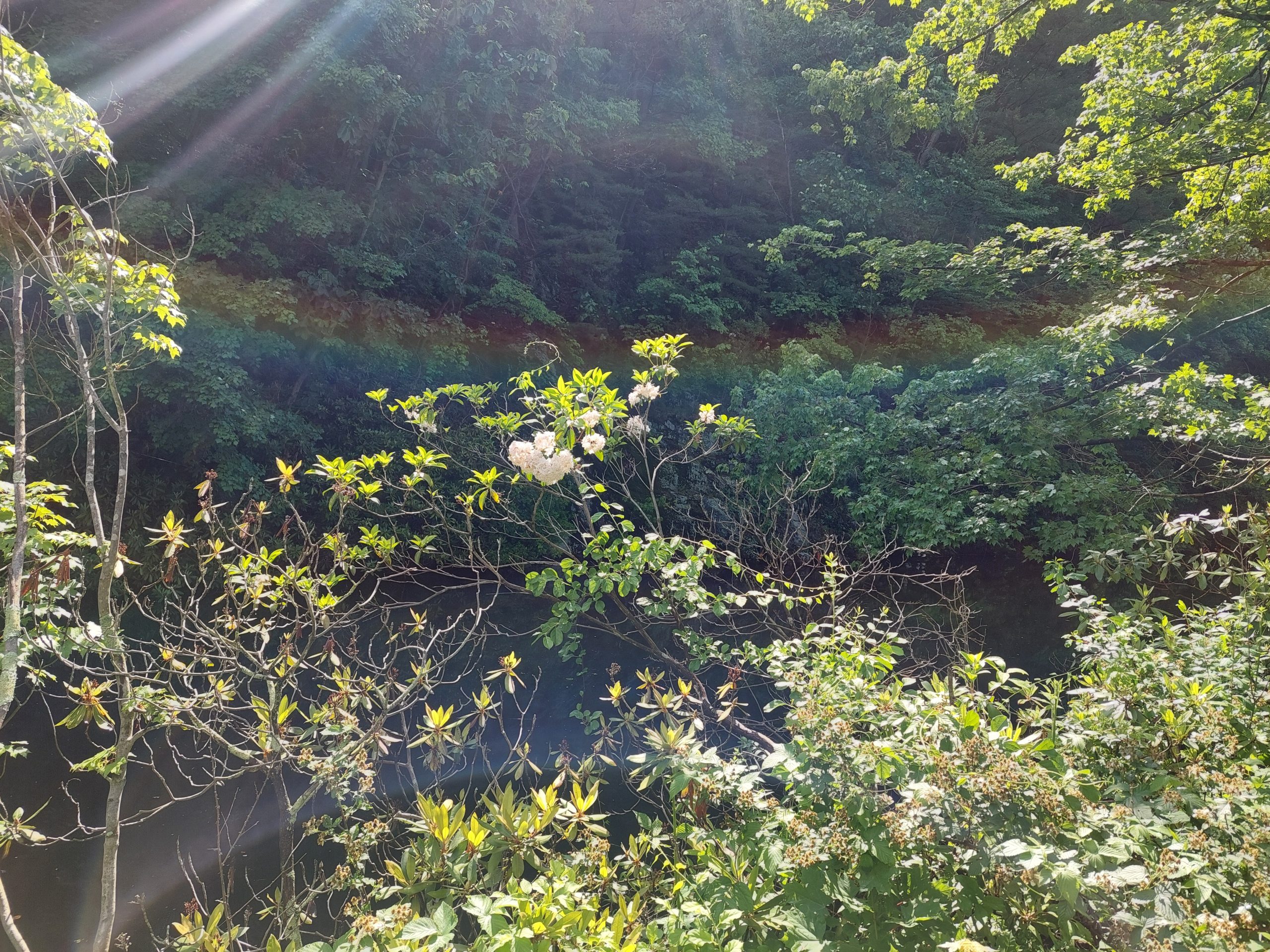
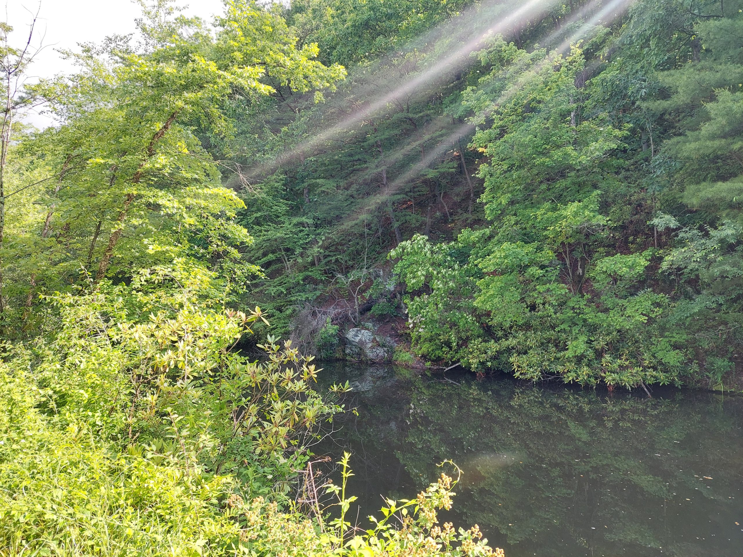
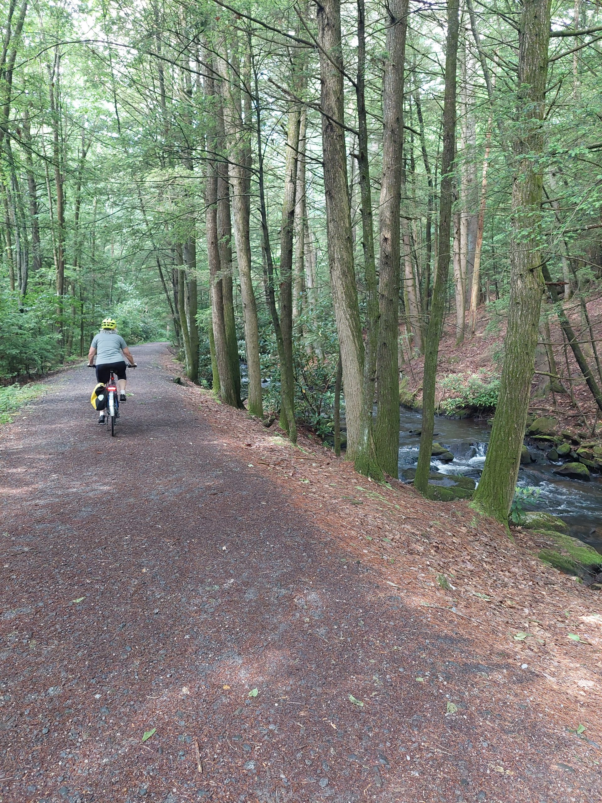
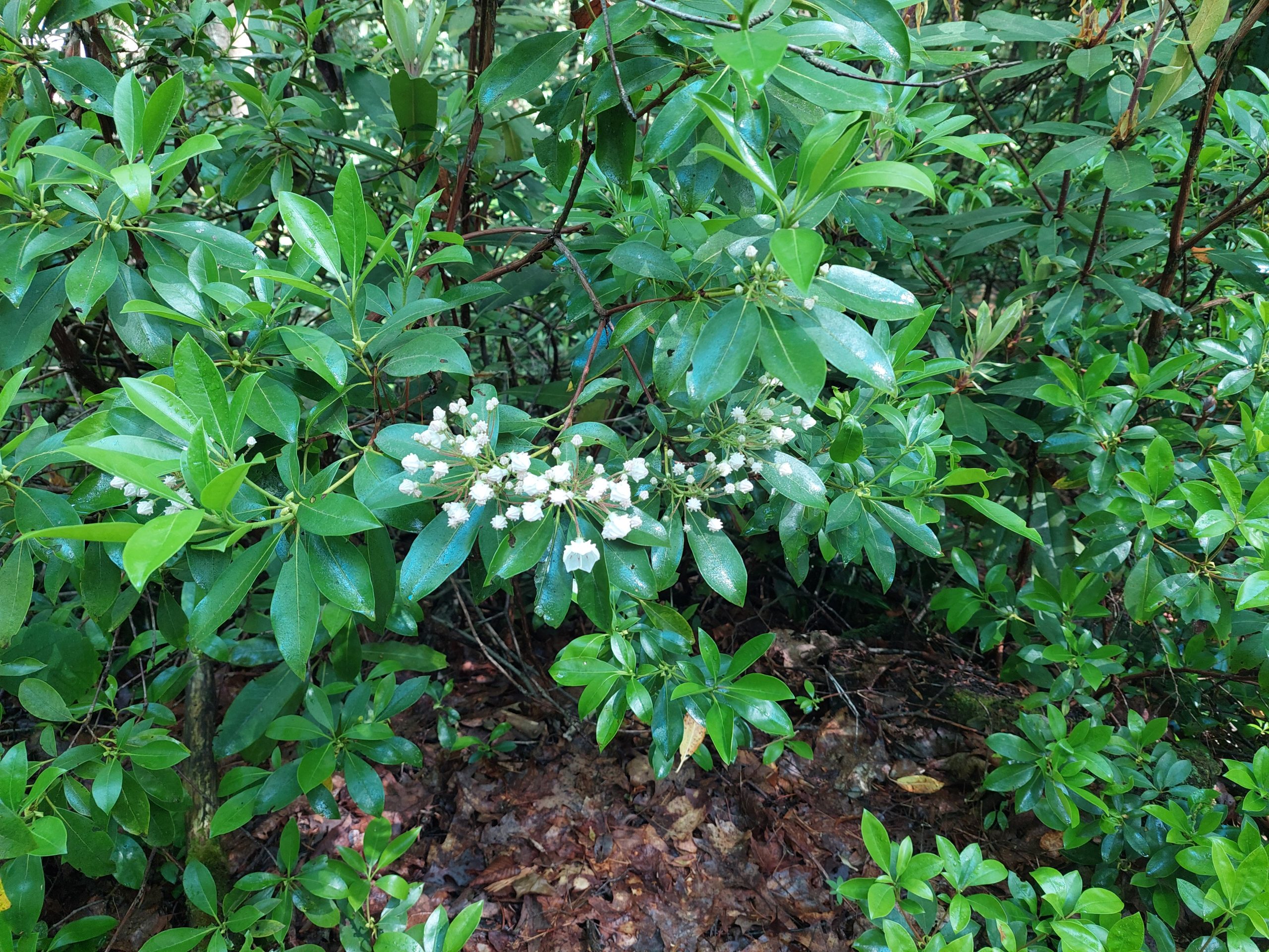
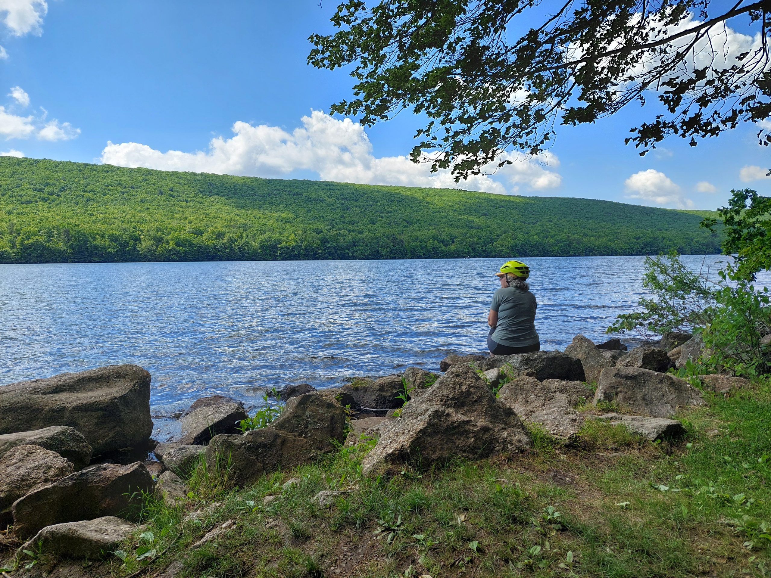
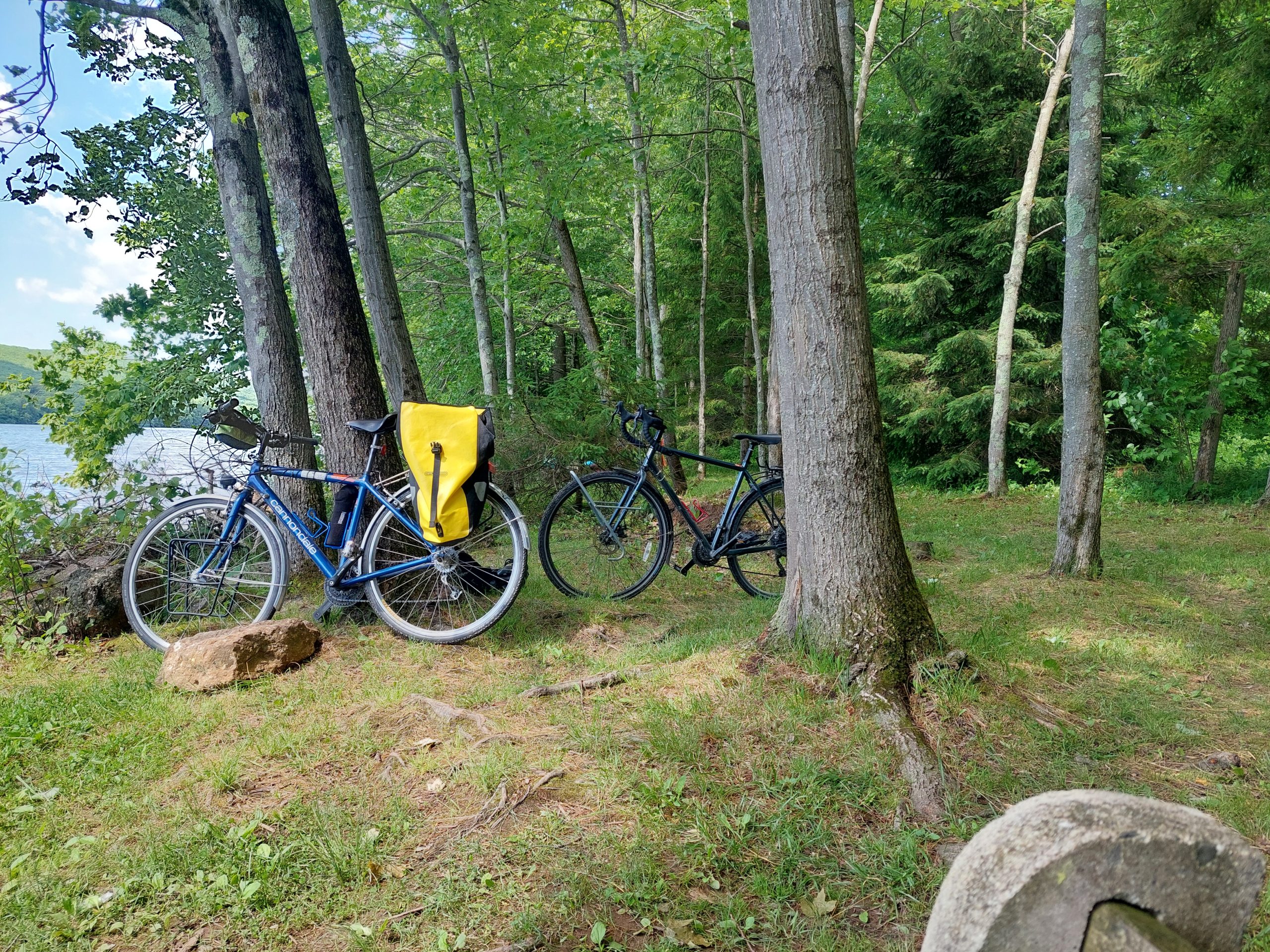
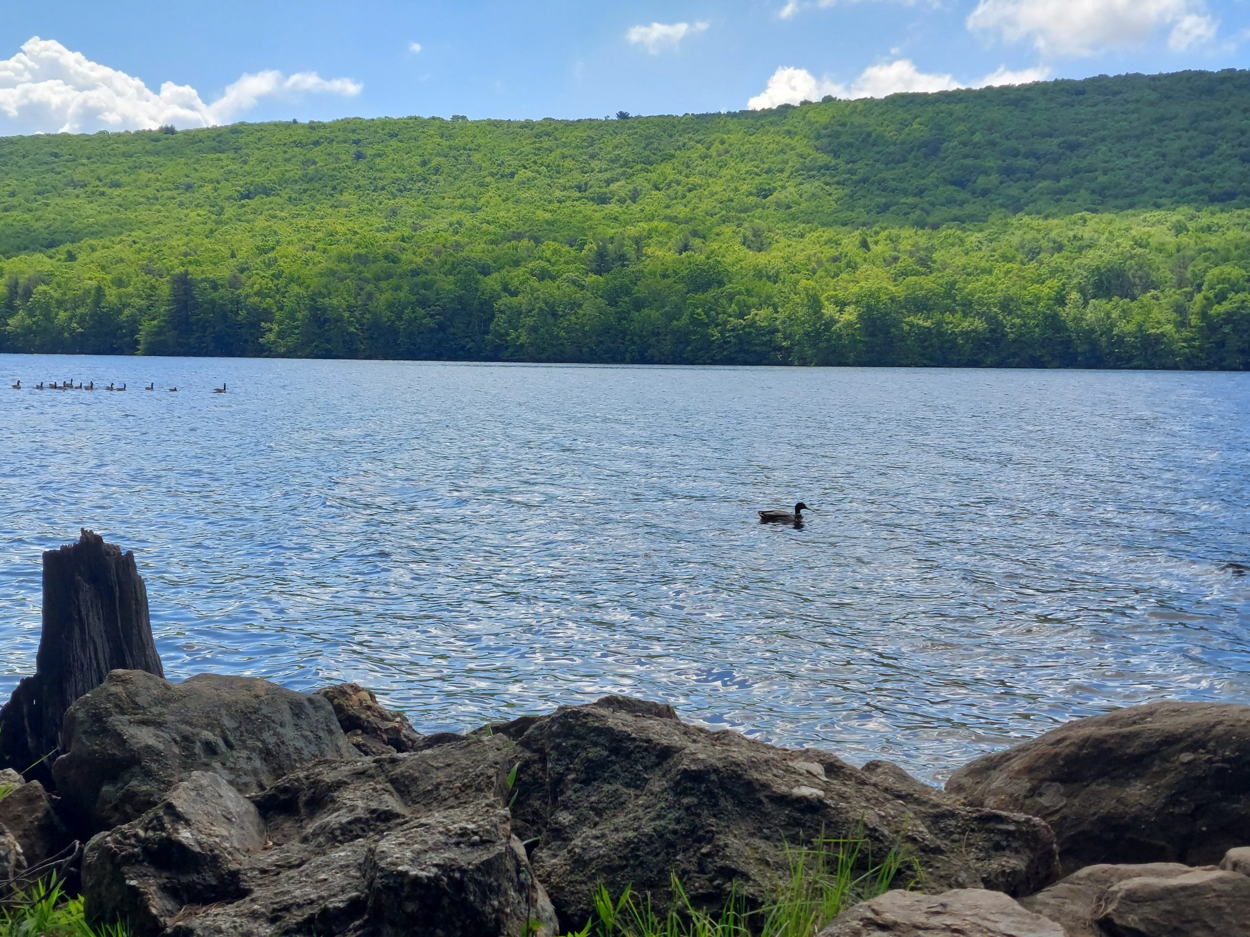
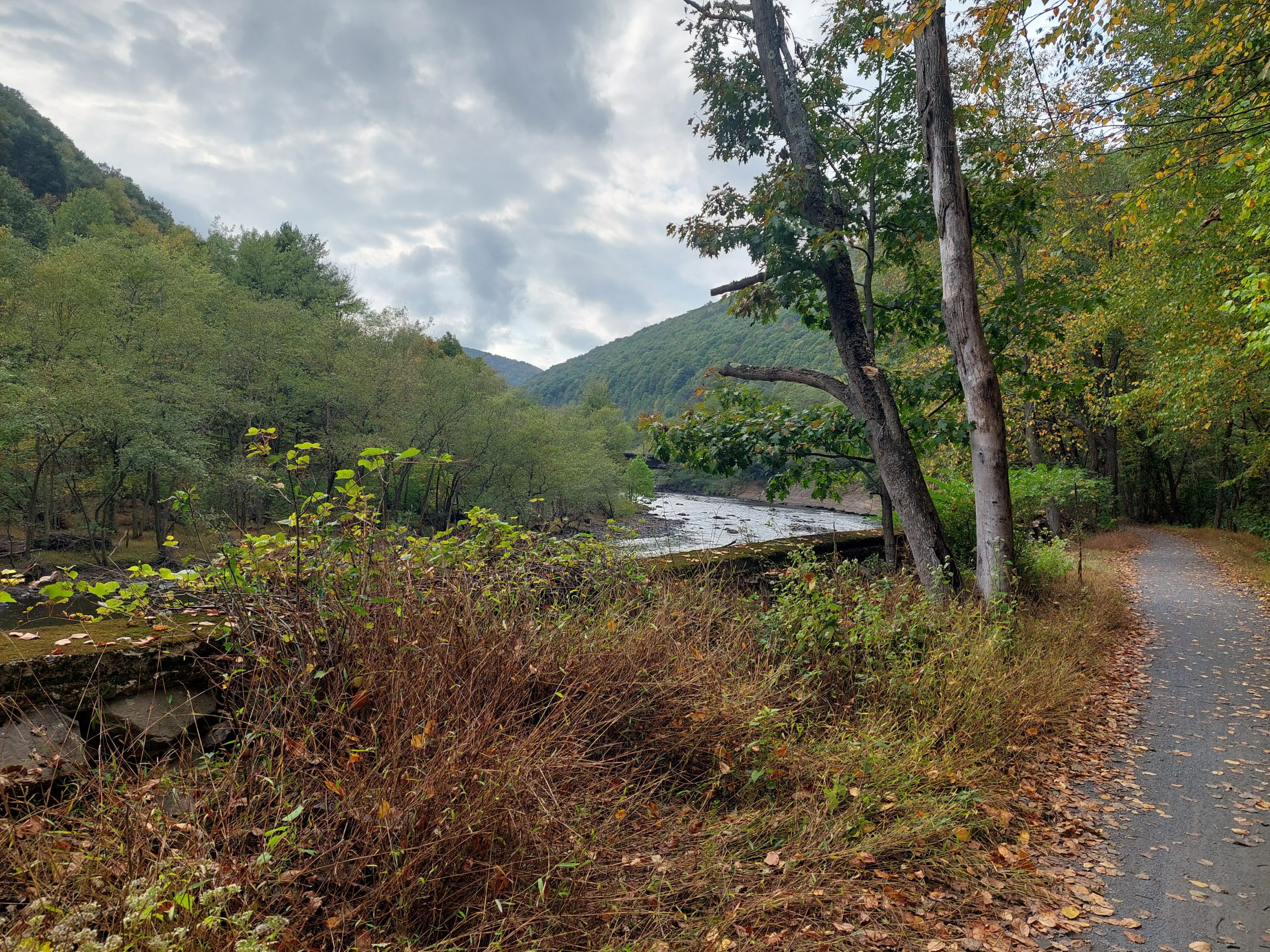
We got breakfast at the cafe in Weissport, went back up the towpath to Jim Thorpe and continued on to Mauch Chunk Lake. We were on the lookout for mountain laurel, which blooms around this time of year. We saw some in bloom, not a lot (not even on the Switchback Trail), but the scenery was definitely beautiful.
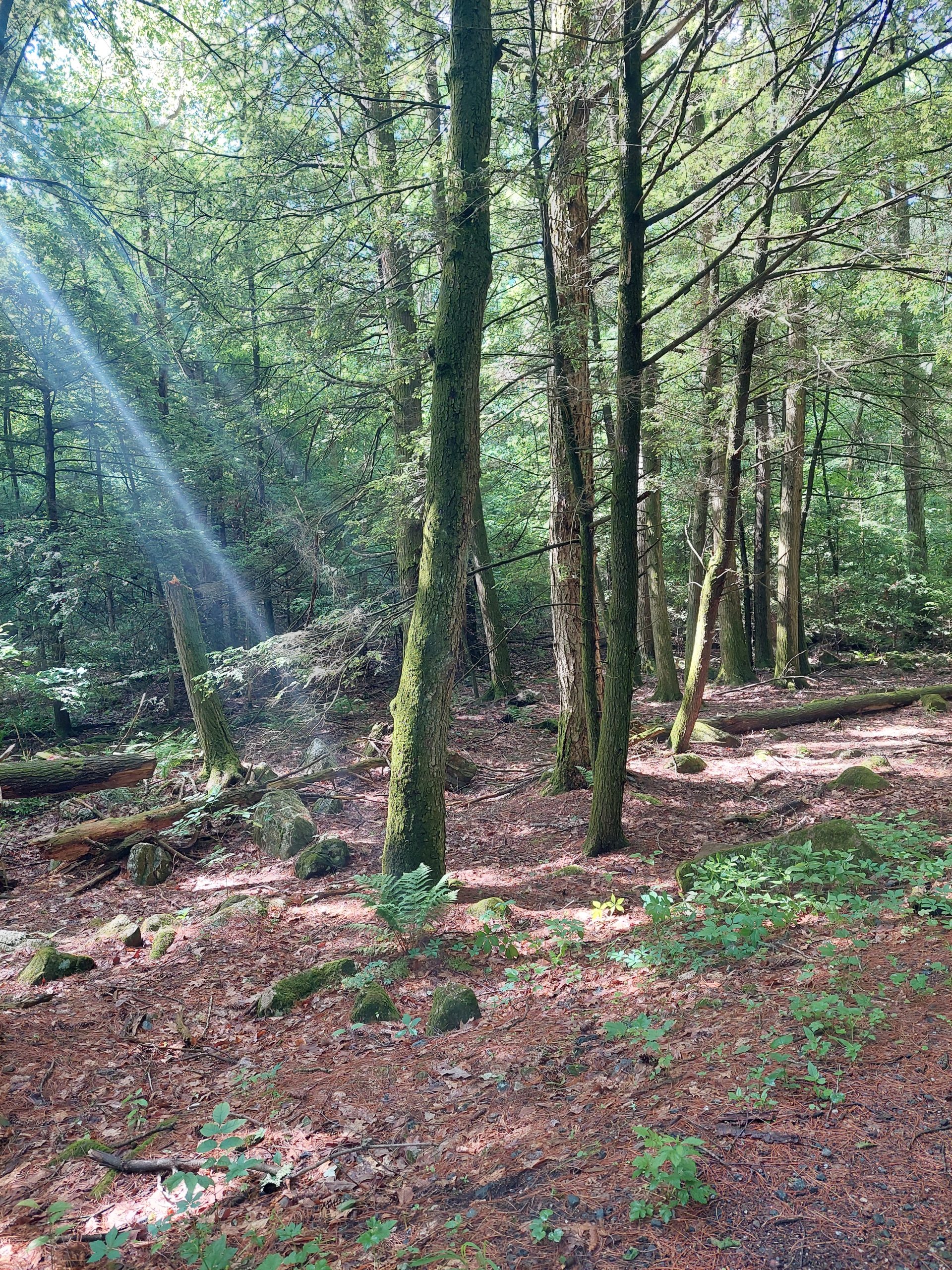
Mountain Laurel BlossomsLehigh Canal Near WeissportTrees Near Board BottomAnne On The TrailMountain Laurel BlossomsAnne At The LakeBike ParkingGeese And A Duck
On the way up to the lake we took the path through Board Bottom, so on the way back we went down the road into town — there is where we saw tons and tons of mountain laurel, the entire mountain (as seen from the road) was in bloom. Again, no pictures, we were moving too fast.
We ate lunch at Cafe Arielle, which was hard to figure out what it really was, but for us it was an awesome lunch place neither of us had ever been to, one with outdoor seating and a decent beer menu. After that we went back to the town square, did a bit more people watching, and rode back to the hotel, missing most of the occasional raindrops. Dinner was at PJ Whelihans again.
Day 3
The ride home was pretty quiet: we got up early and breakfasted at that cafe again, then retraced our steps back home — we were home and doing laundry by noon, and our busy lives were waiting there where we left them.
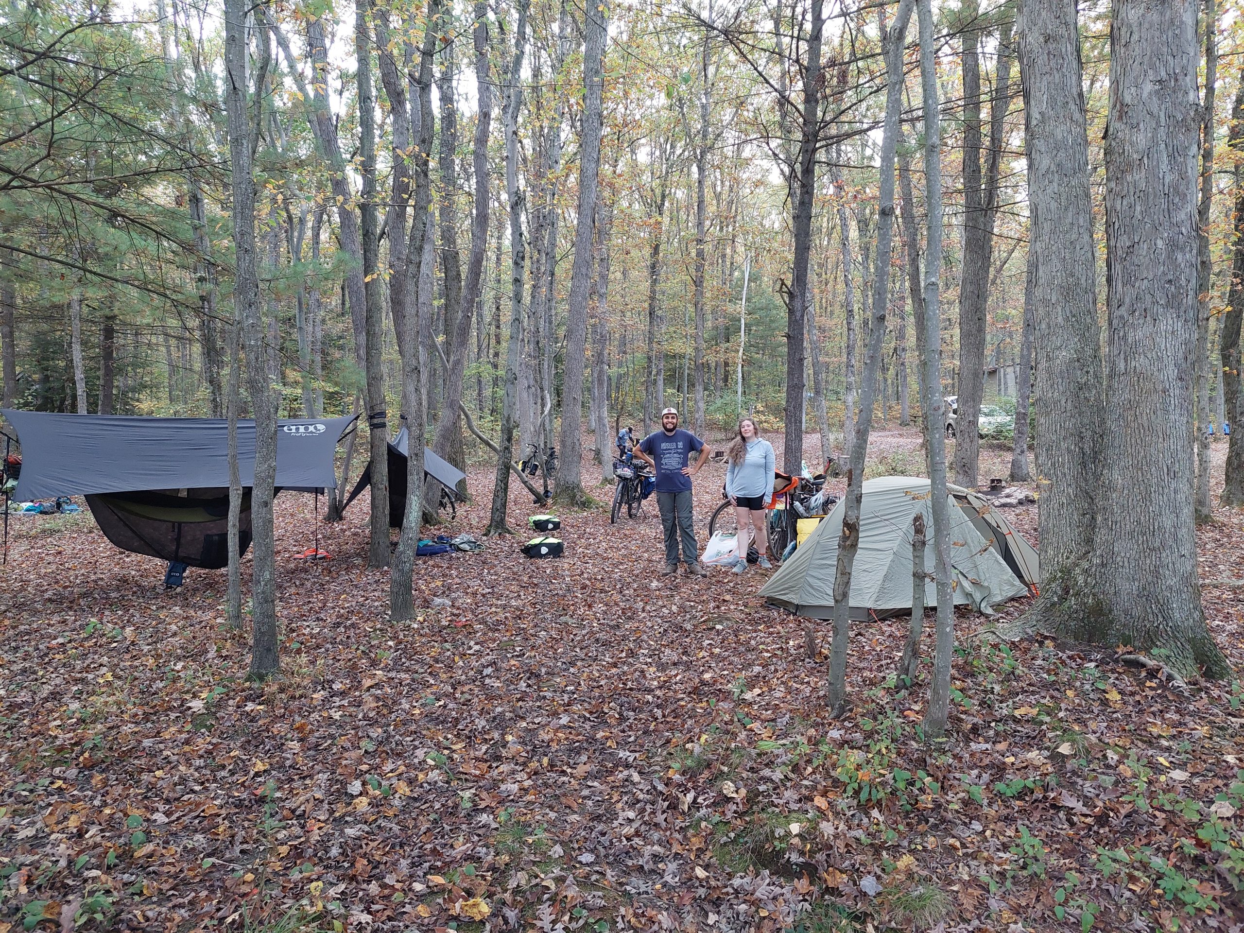
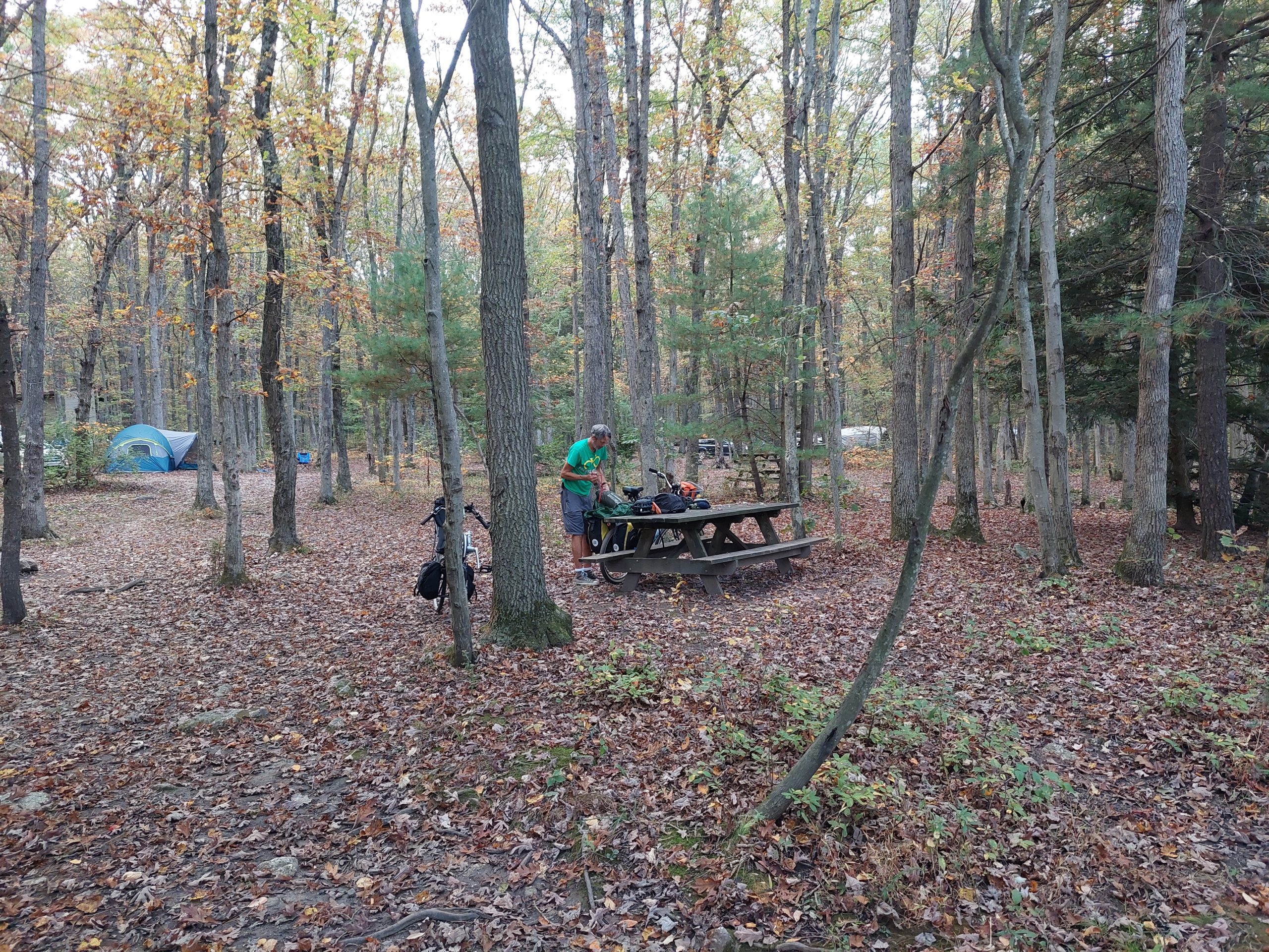
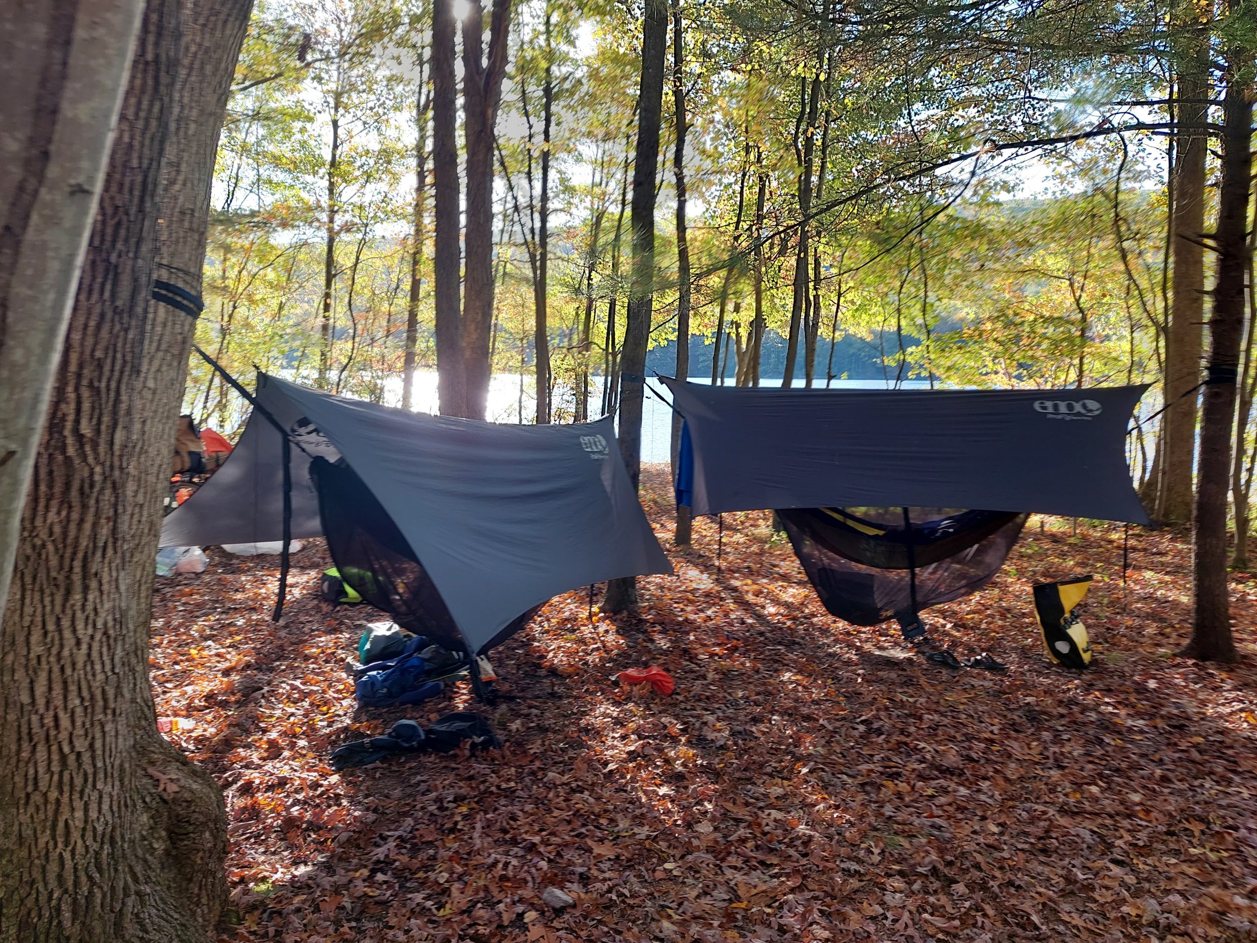
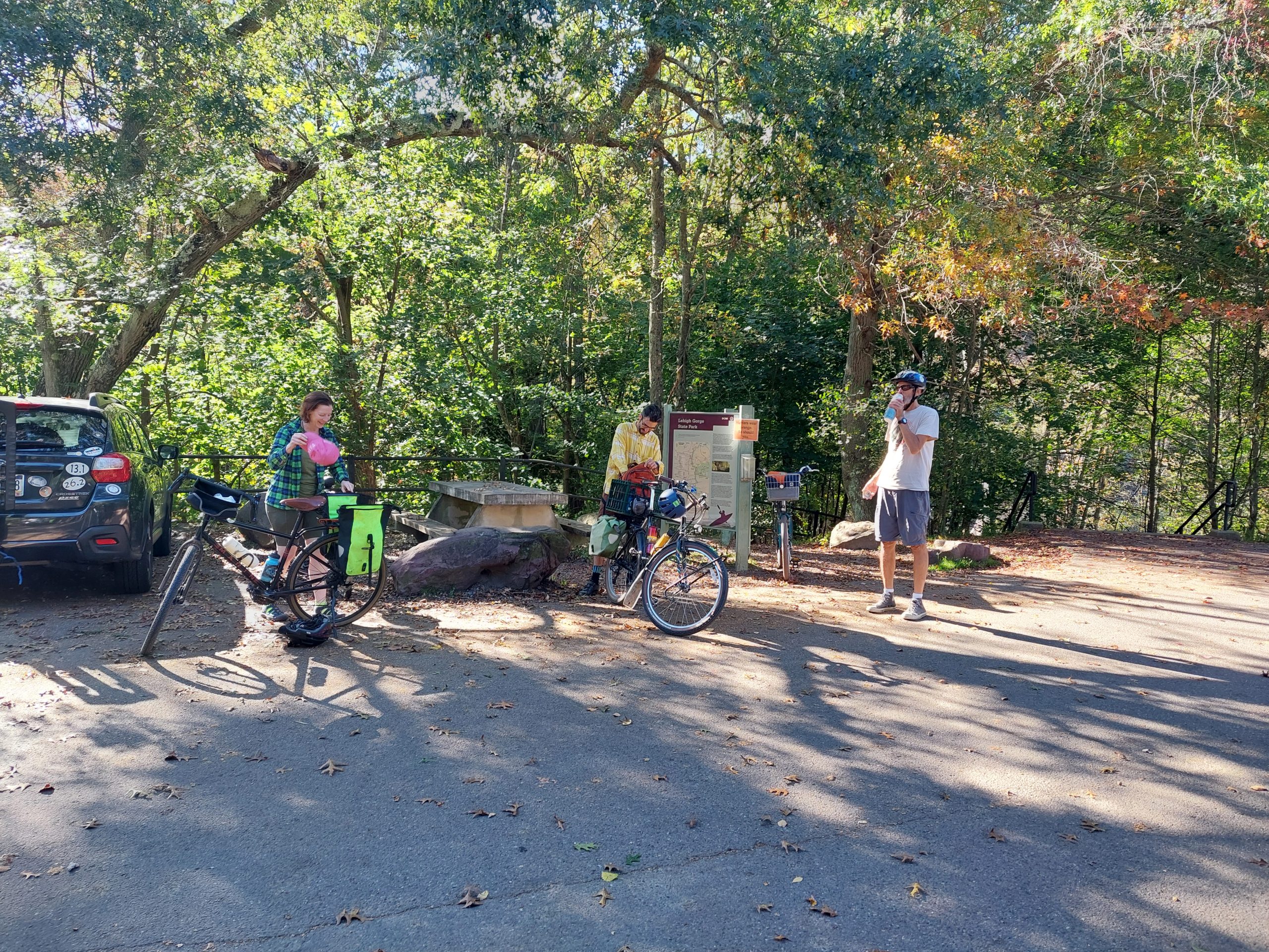
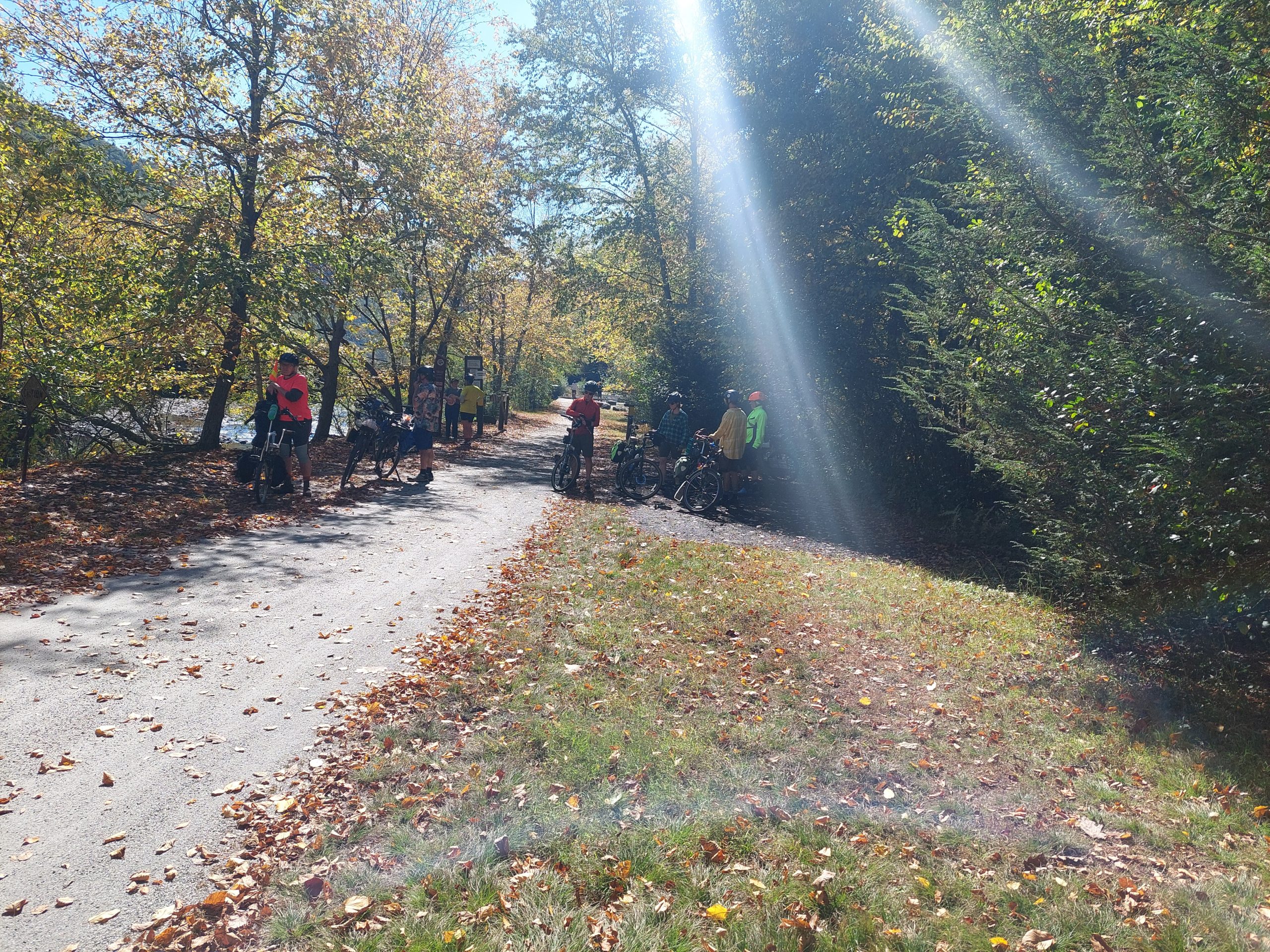
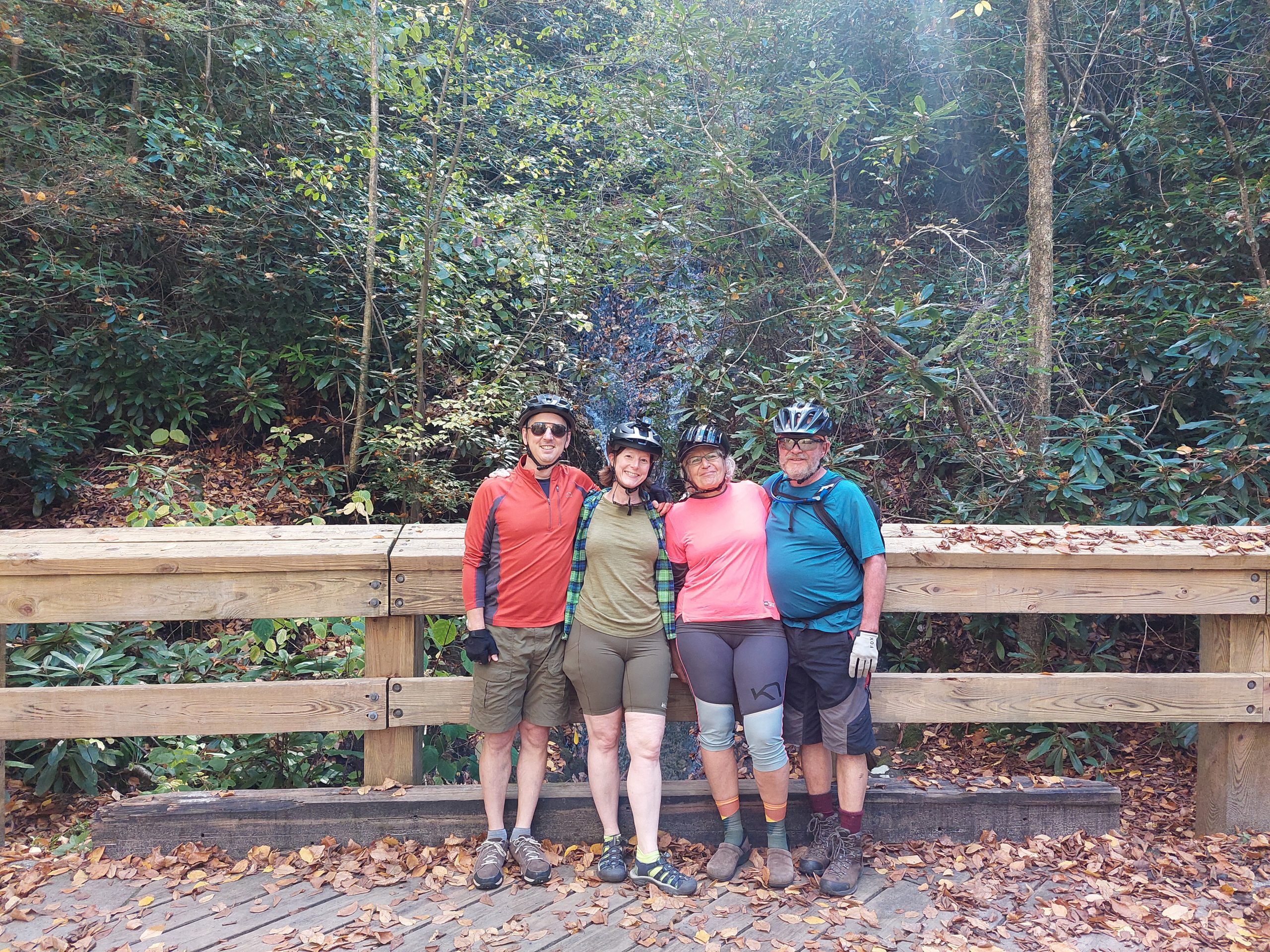
We did our annual group ride and camping trip last weekend, beautiful Fall weather if not quite peak foliage (it was still pretty good), and some really nice riding.
Friday: Up To Mauch Chunk Lake
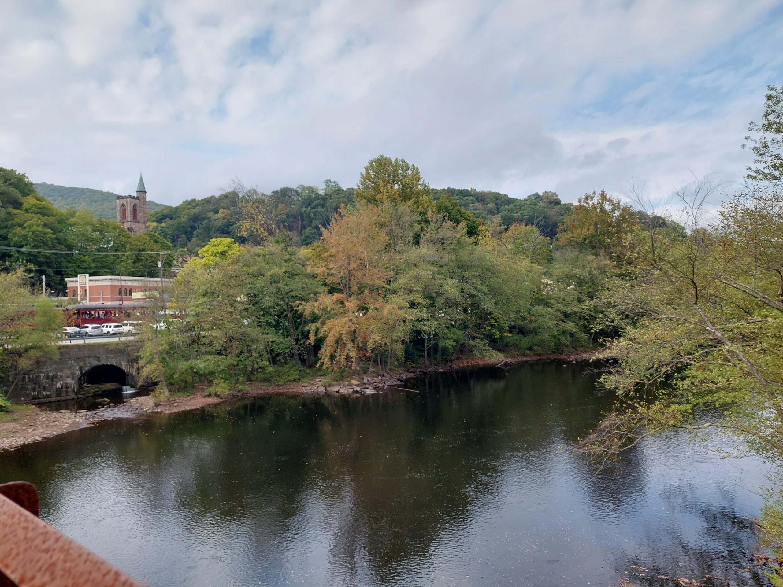
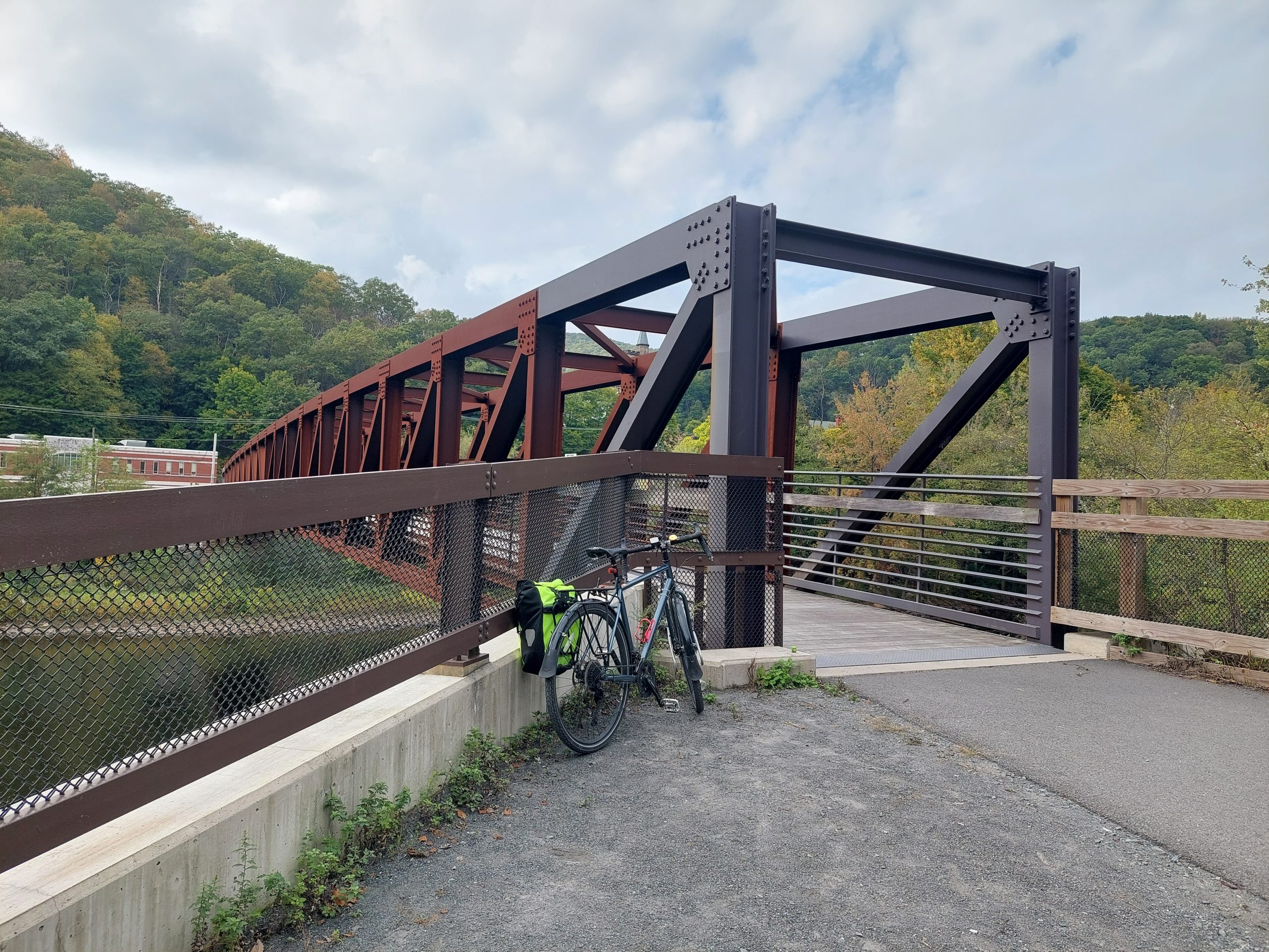
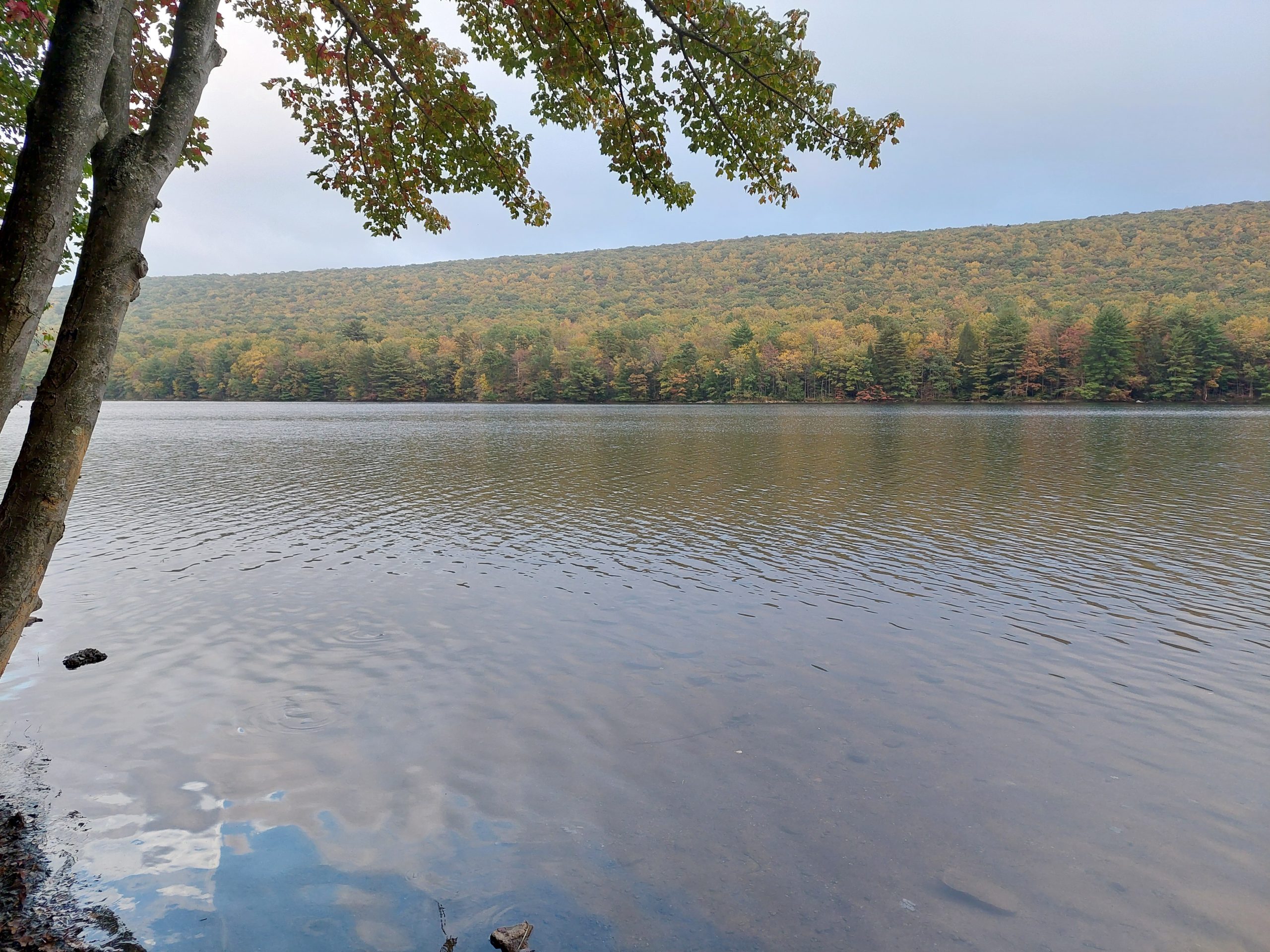
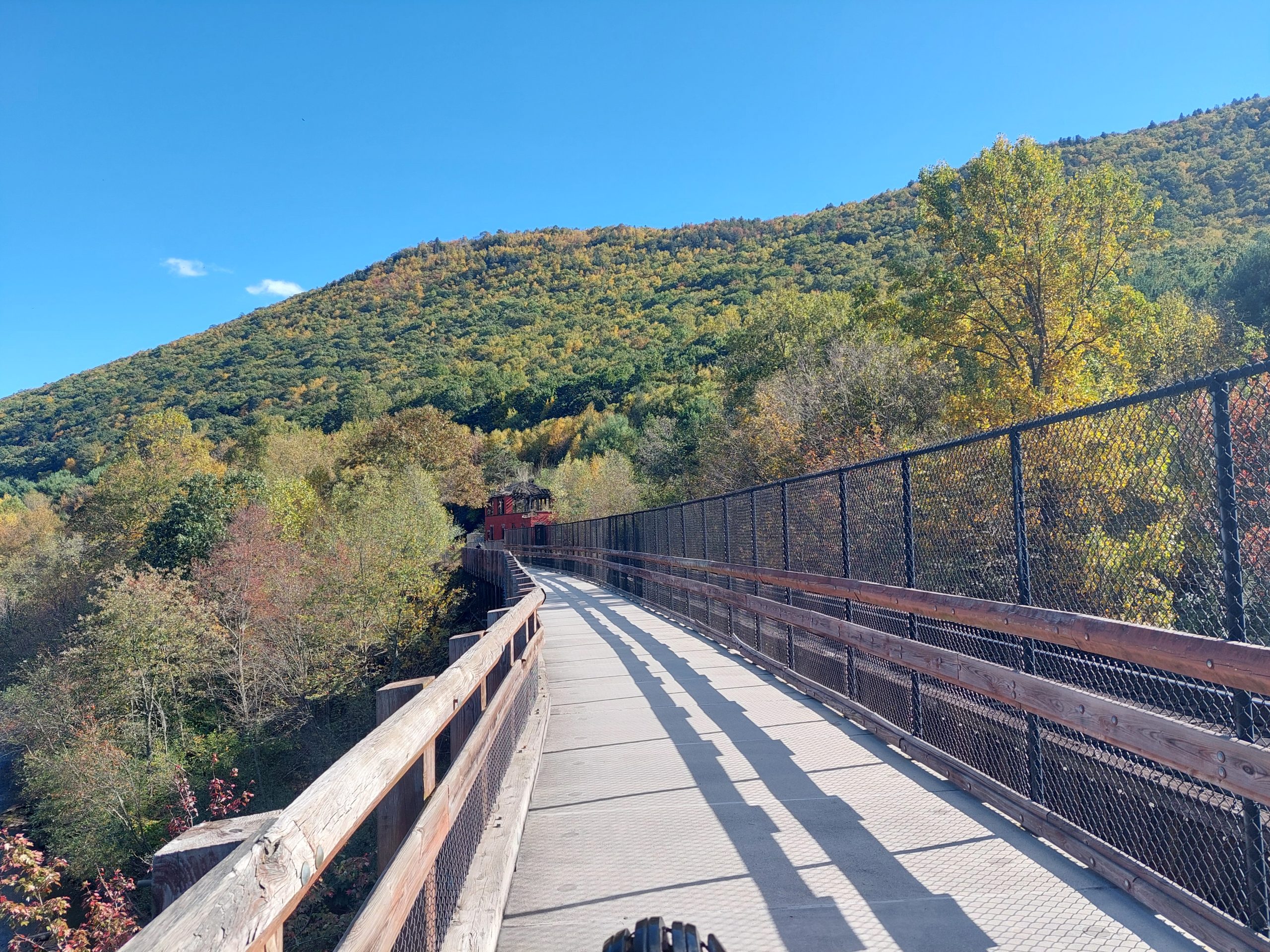
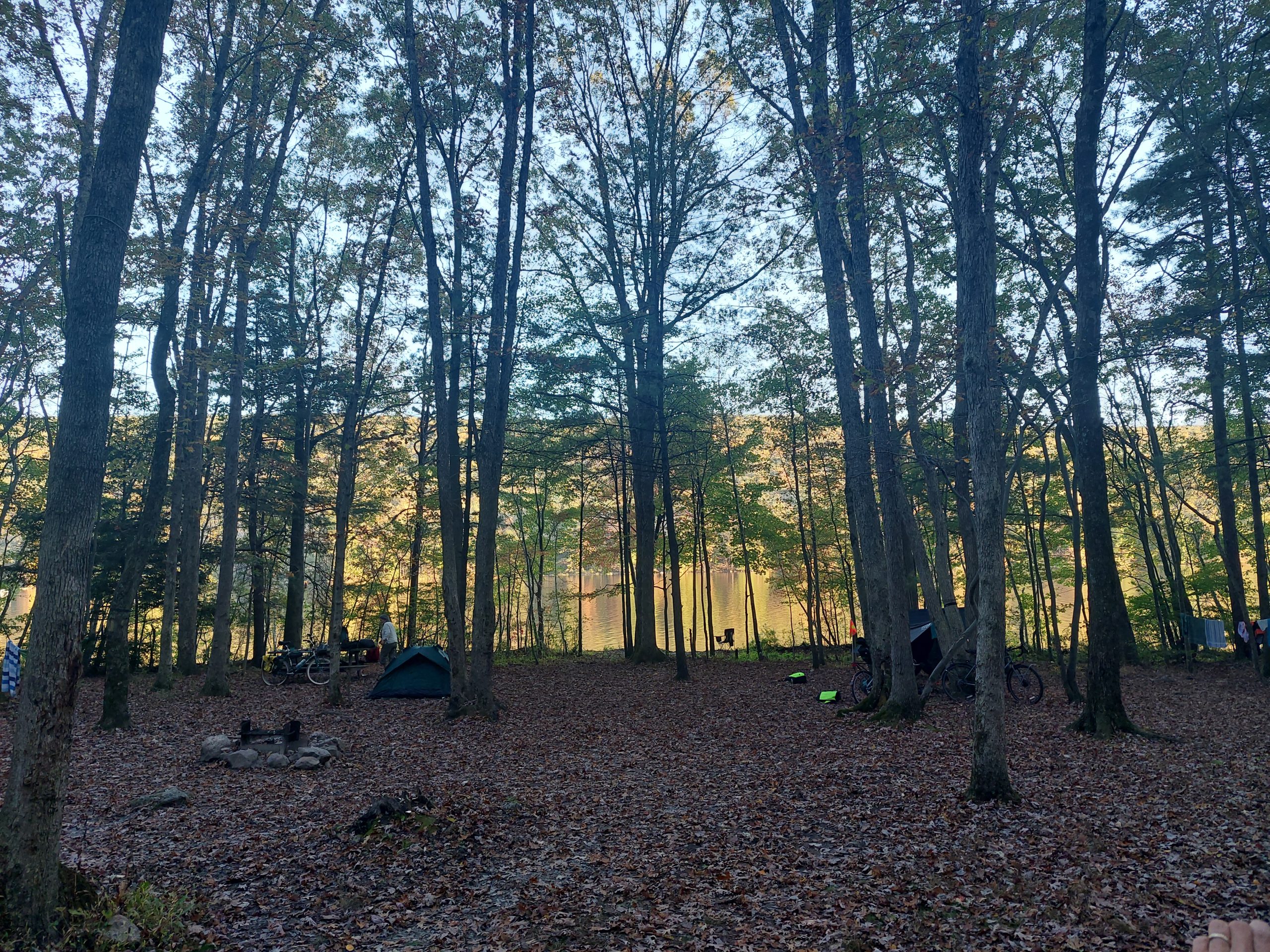
We started at the CAT office and rode up to where we could pick up the Nor-Bath Trail at Bicentennial Park, which brought us to the D&L at Northampton. We then rode the D&L all the way into Jim Thorpe, stopping for lunch at the Slatington Farmer’s Market, passing the newly repaired/reopened sections near East Penn and Weissport, and grabbing supplies in Jim Thorpe at the grocery store in East Mauch Chunk — the west side of town was a madhouse, the Fall Foliage Fest basically took over downtown. Luckily, we rode through the crowds easily enough and back into relative calm, and finally made it up to our campsites at the lake — we had three next to each other, and all along the lake shore. Sweet!
CAT Riders at Bicentennial ParkCAT Riders On The D&LRepaired Towpath Near WeissportWeissport: Foliage on the DLLehigh River, Just South of Jim ThorpeJim Thorpe from the Mansion House BridgeMy Trusty Steed at the Mansion House BridgeMauch Chunk LakeCAT CampersAt the Campsite
Saturday: Rockport and Back
This was our recreational ride, up through the Lehigh Gorge to Buttermilk Falls, just little past the Rockport Trailhead. Our first stop was back in town, where we bought our lunches for later in the day, and from there we continued on to the Glen Onoko Trailhead, where a bunch of other people were joining us for the day’s ride.
It’s a fairly straightforward ride up through the Gorge, beautiful sights all around and the occasional excursion train passing by. We were traveling at different speeds, and some with children and time constraints turned back early, but the bulk of us regrouped at Penn Haven and continued on to lunch at Rockport. A quick trip to Buttermilk Falls, and we were on our way back down the Gorge, and through town again, and back up the hill to our campsites.
Some of the Saturday crowd set up camp with us, and others just went home after hanging out for a while, but this was our night around the campfire. The evening was gorgeous and the views of the lake and ridge were spectacular, but I couldn’t tell you more past sunset — I was in bed by 9:30.
Home Sweet HomeMeeting At Glen OnokoOn The TrailLehigh Gorge TrailThe Crew at Luke’s FallsJim Thorpe From Nesquehoning BridgeNesquehoning BridgeGolden Hour at Our Campsite
Sunday: Homeward Bound
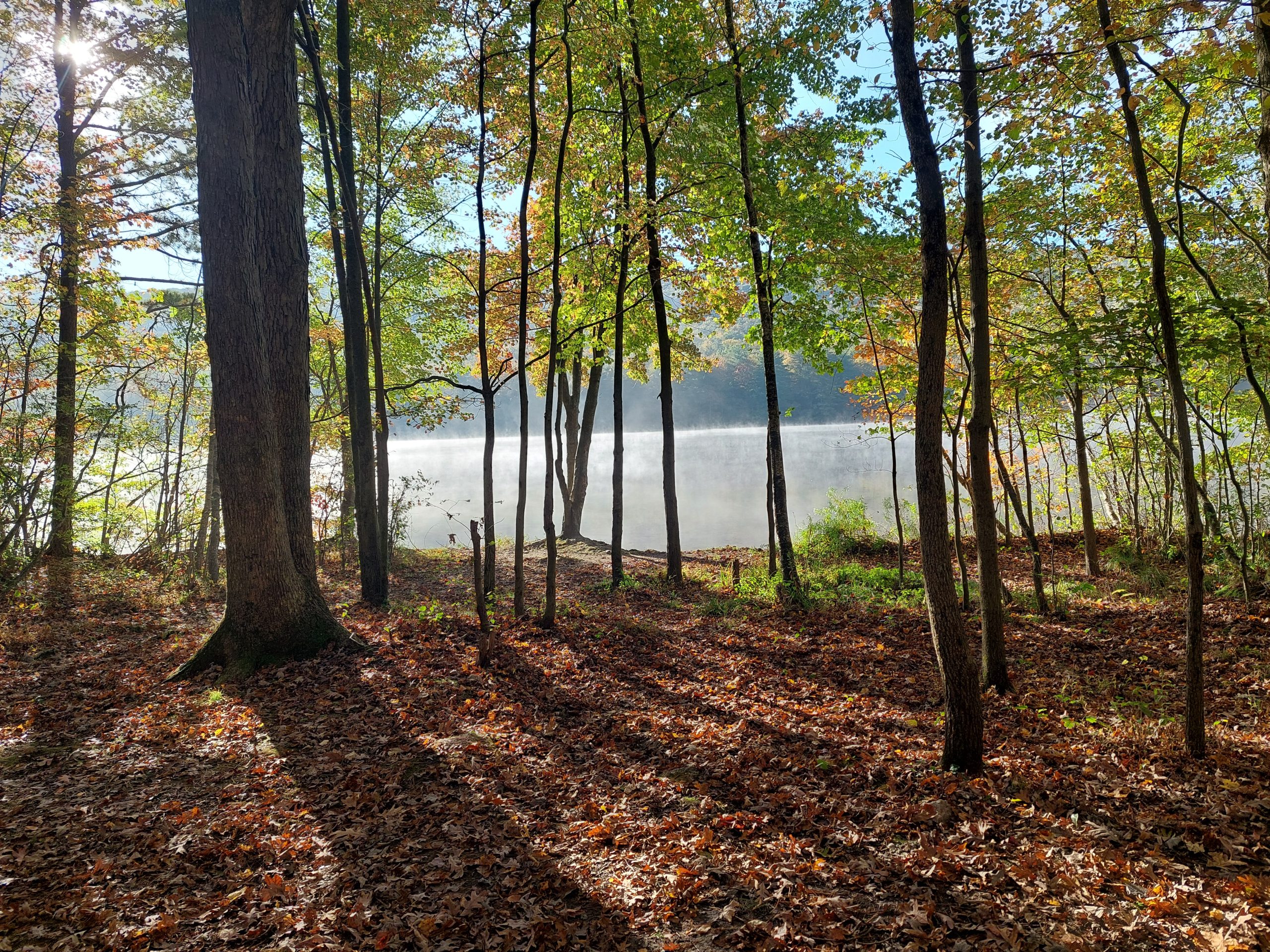
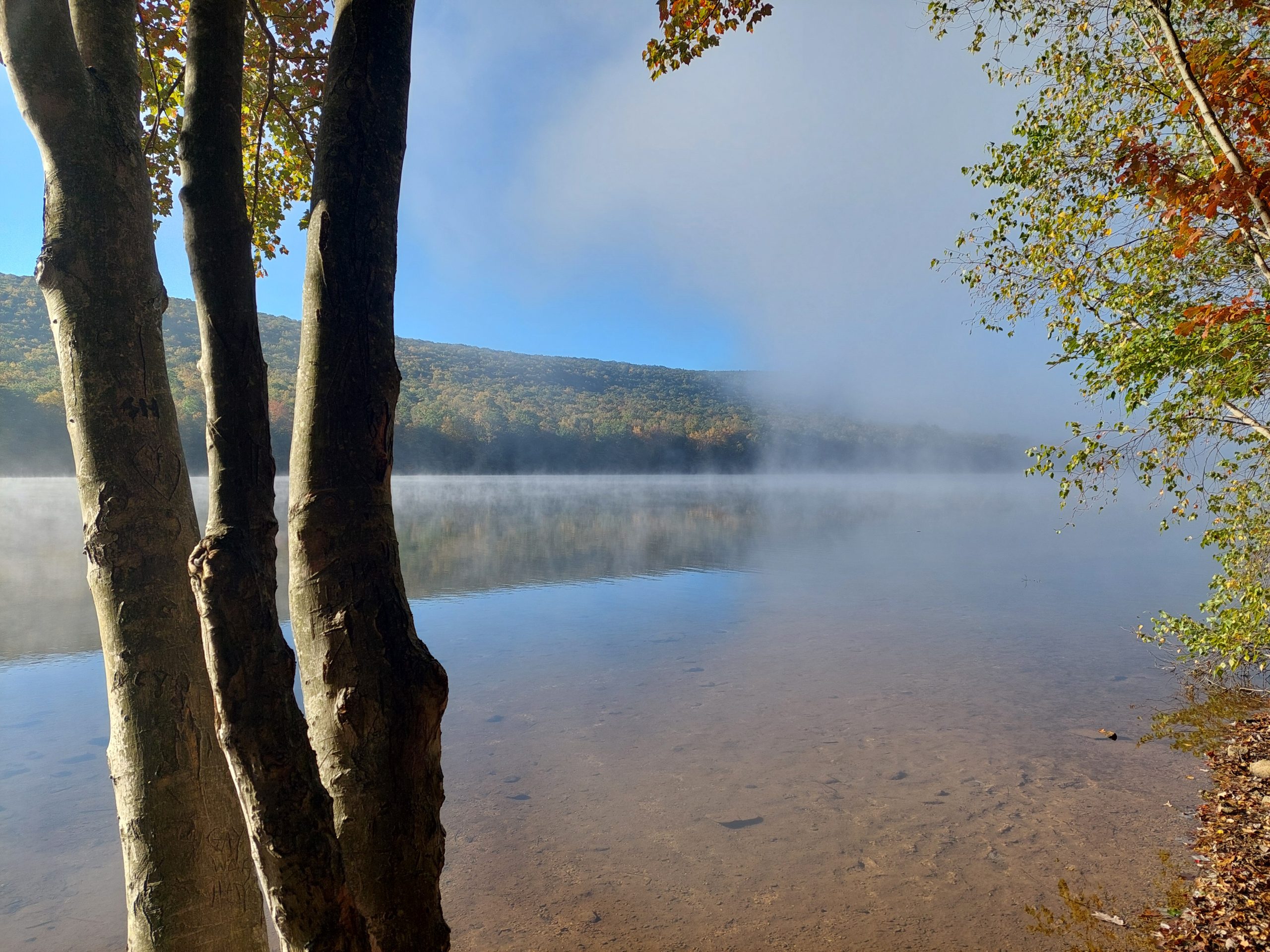
My Garmin ran out of juice some time before Sunday morning, but Sunday’s ride was mostly just Friday’s in reverse. We stopped at Hug in a Mug in Weissport for breakfast, and at the Slatington Farmer’s Market again for lunch, and when we got to Northampton Anne and I broke off to take the roads more directly home.
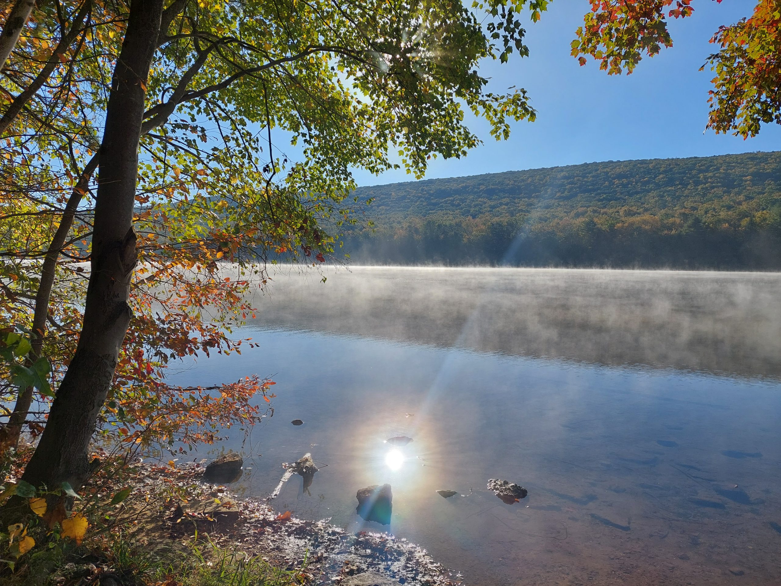
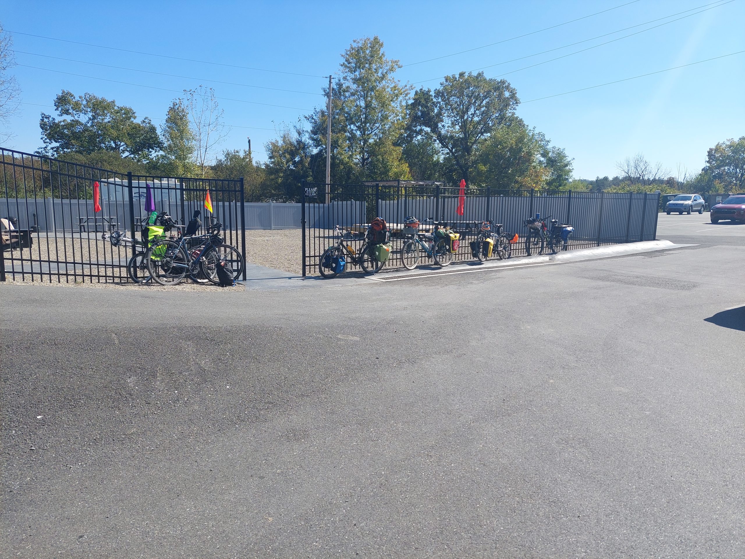
Good Morning Mauch Chunk LakeMorning MistMorning, Mauch Chunk LakeLunchtime Bike Parking at Slatington
This was a short bike tour we took, a loop south along the Delaware, then west and back home by way of Vera Cruz. We took some liberties, but it was at least nominally meant to follow some of the old native paths in the area south of us.
Day One
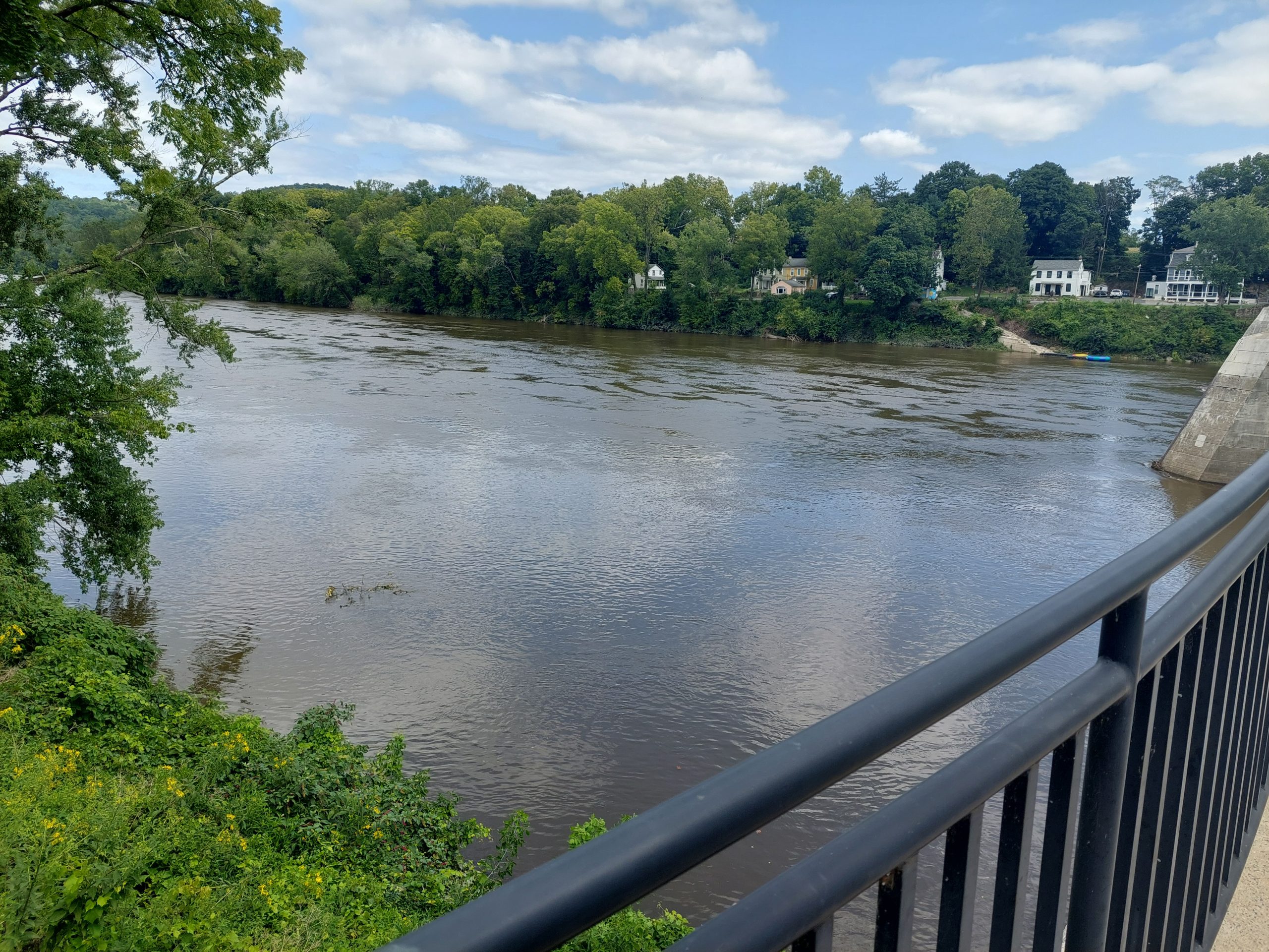
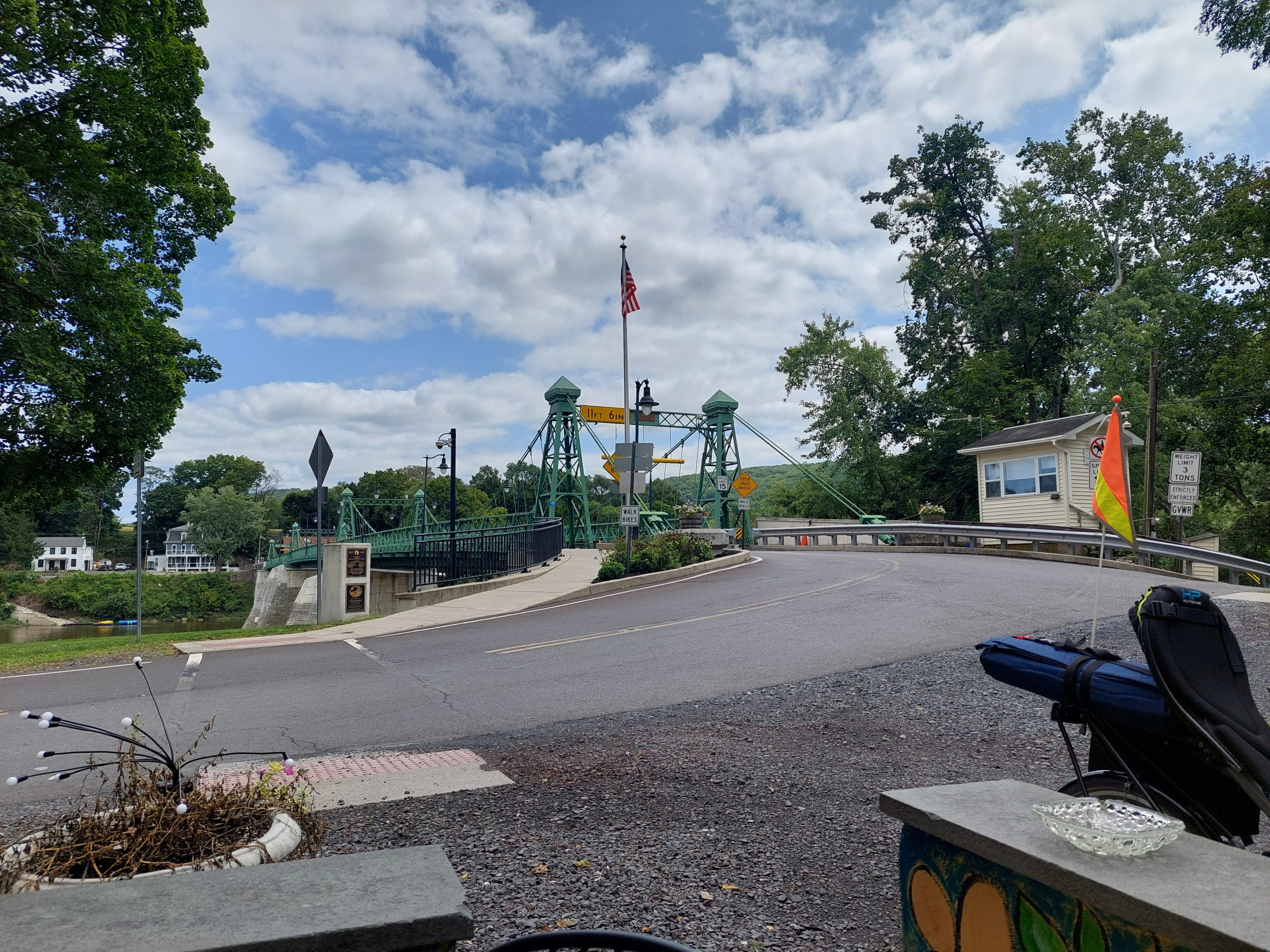
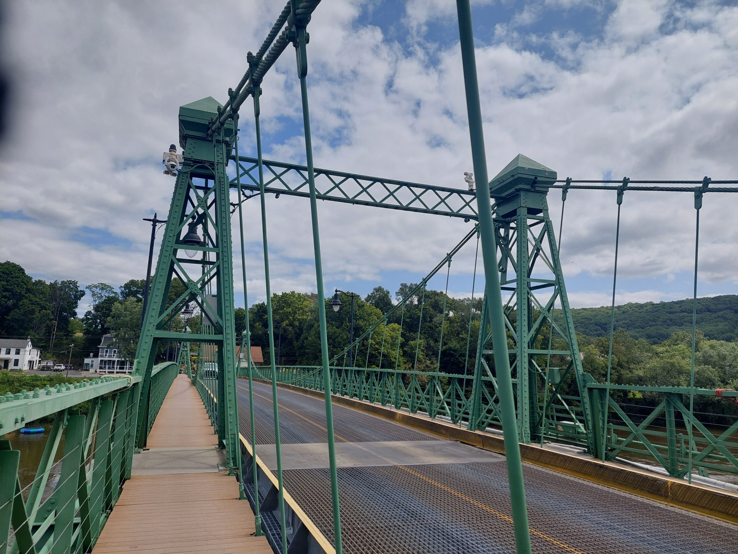
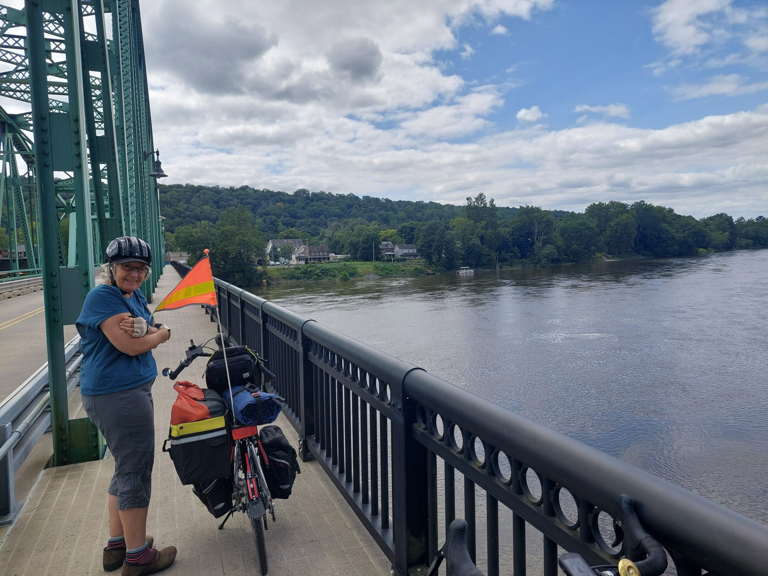
We left Bethlehem, heading cross-country over to Riegelsville, brunched at the Riegelsville Inn (we got there just as it opened), then we continued downriver on the New Jersey side, crossed back into Pennsylvania at Milford, and rode down the towpath to Tinicum Park, our stop for the night.
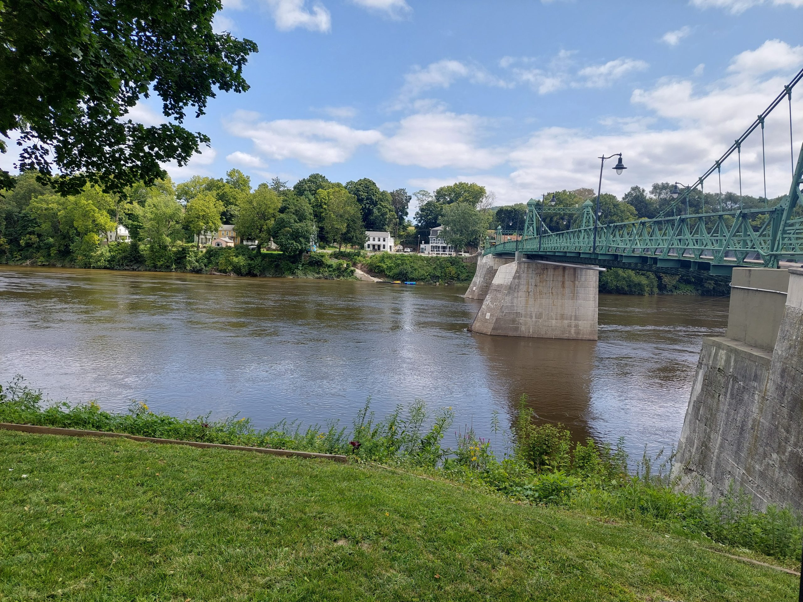
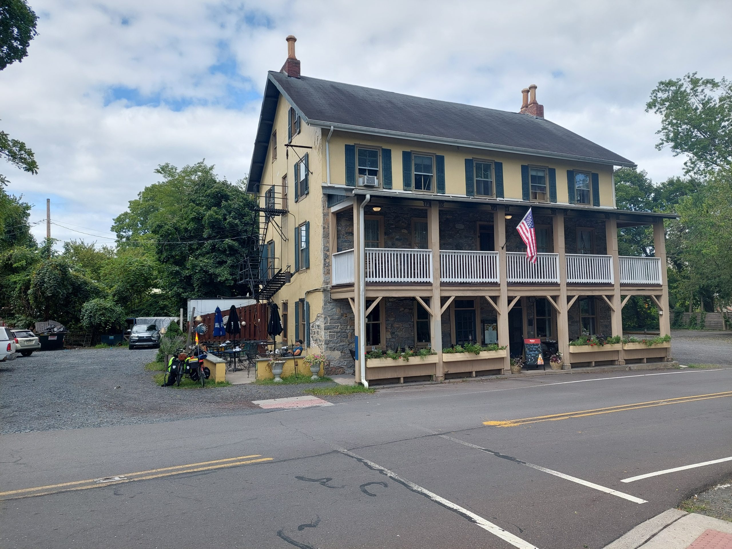
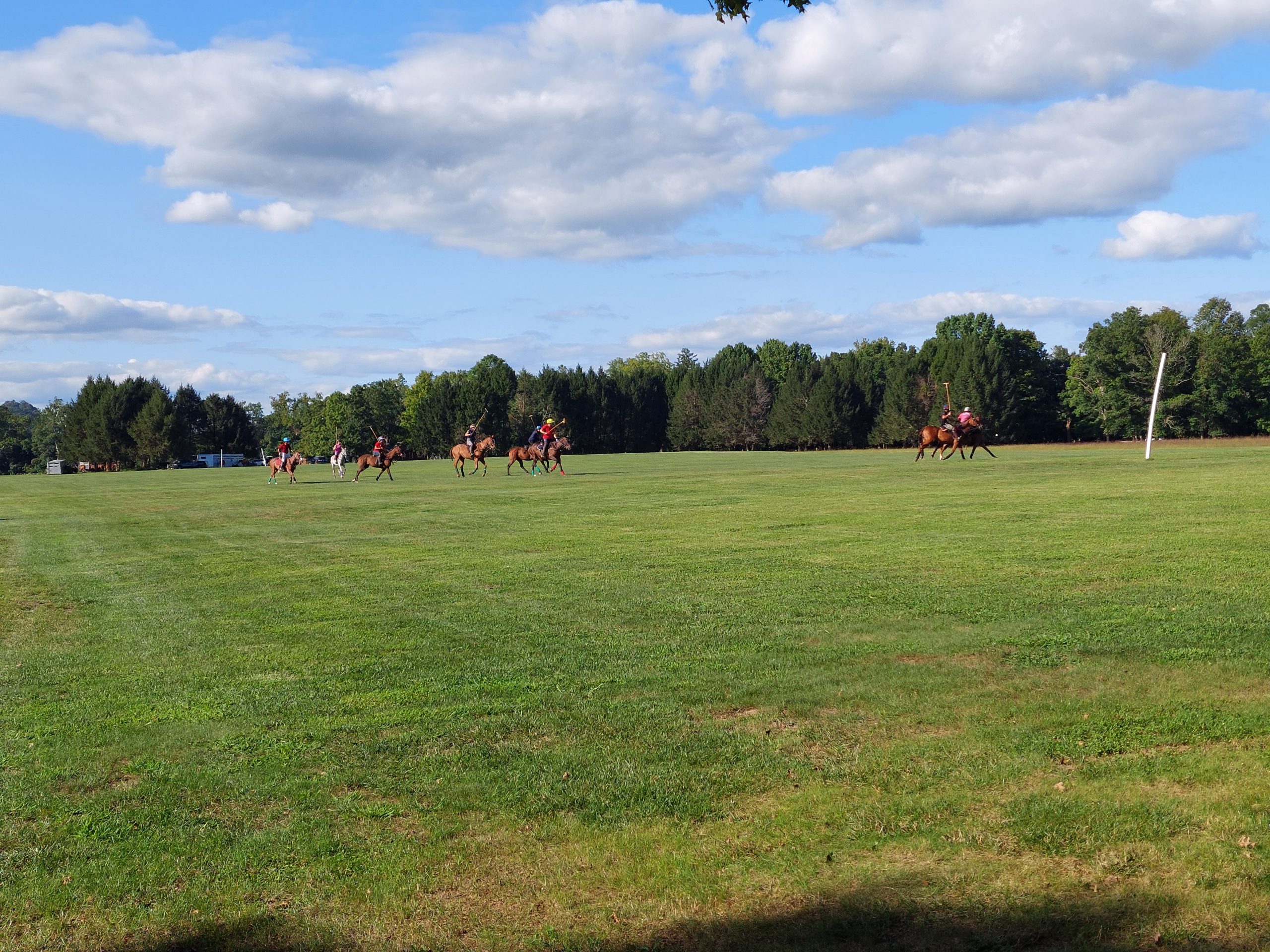
Riegelsville BridgeRiegelsville InnThe Delaware At RiegelsvilleRiegelsville BridgeRiegelsville BridgeAnne On The Milford BridgeDelaware RiverTinicum: Delaware RiverTinicum: Delaware RiverTinicum ParkTinicum: Polo PlayersTinicum: Morning Deer
Tinicum was fairly primitive as far as campgrounds go, but it was very pleasant, and we got to watch some local equestrians play polo for a while before we crashed for the night.
Day Two
This was another beautiful day. We got up and out early, got breakfast at a diner not far from the campsite (again arriving just as it opened), then rode down the towpath and Rt 32 to Point Pleasant.
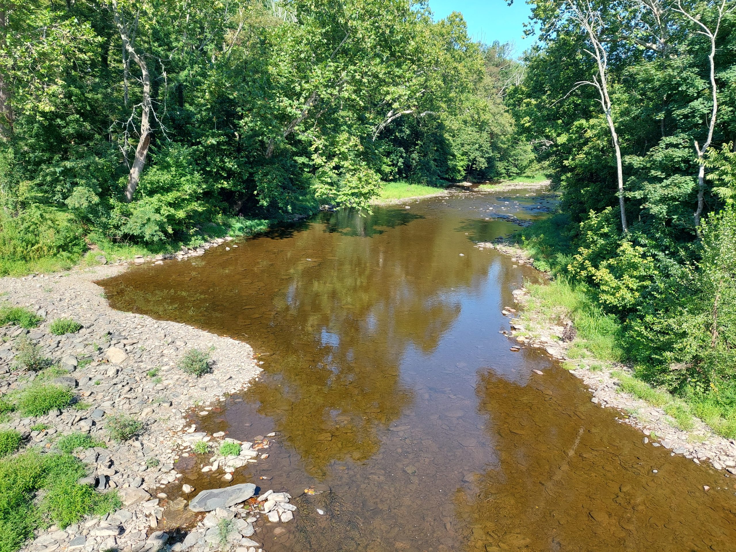
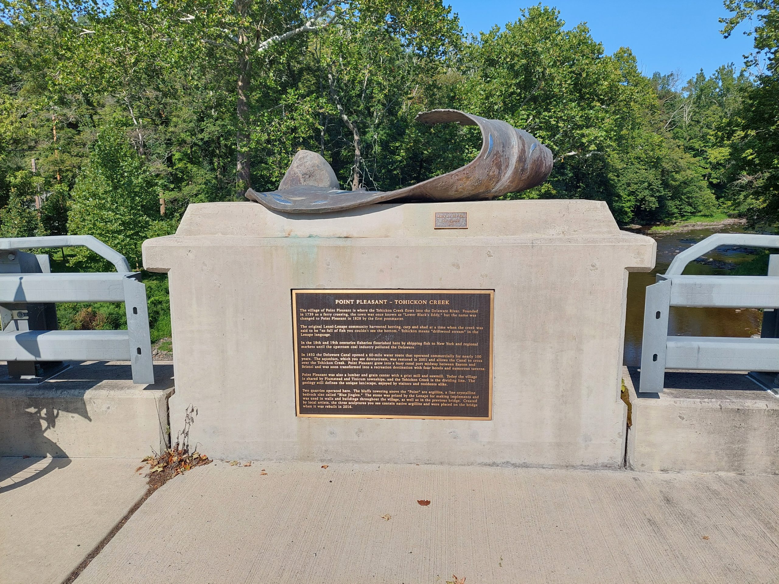
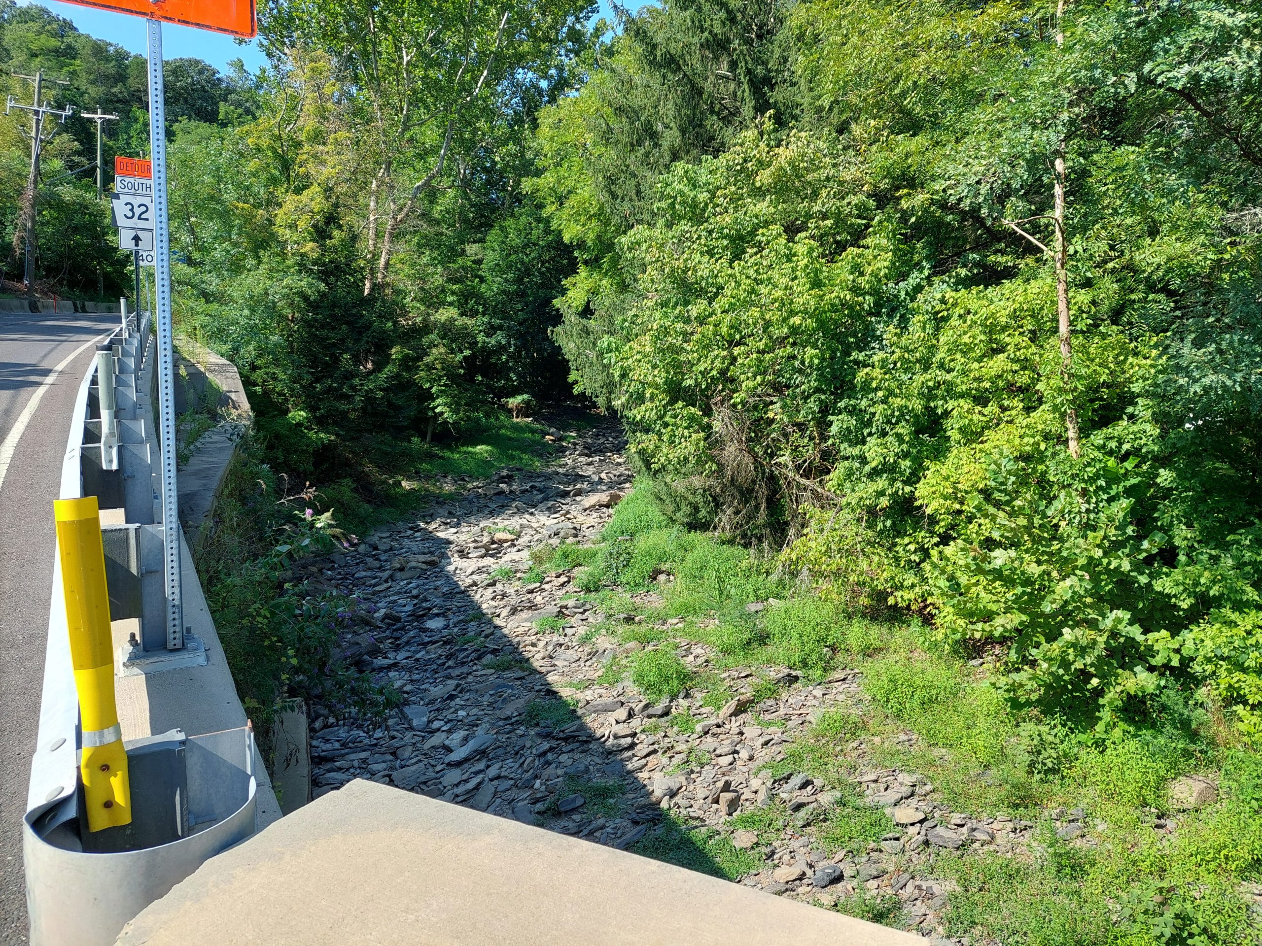
Point Pleasant is where Tohicon Creek meets the Delaware, and just above that is where Geddes Run enters Tohicon Creek. This area had a substantial native population once, and the mouth of Geddes Run was once a place where Native Americans worked a local stone called argillite (aka “mudstone,” or “blue jingles” as the local quarries later called it). The actual native quarry site is now on private land, but we could get a view of the general area from the road.
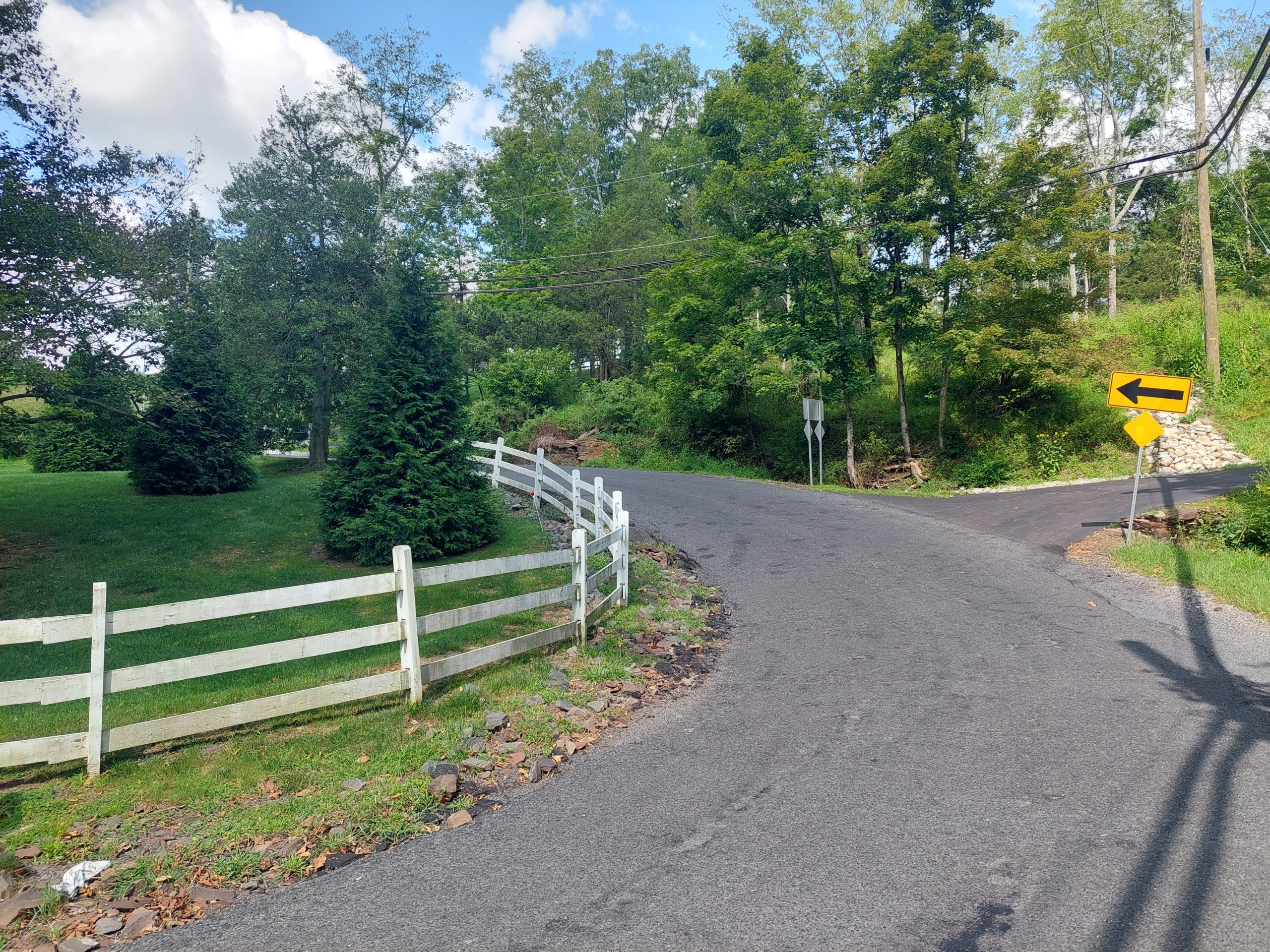
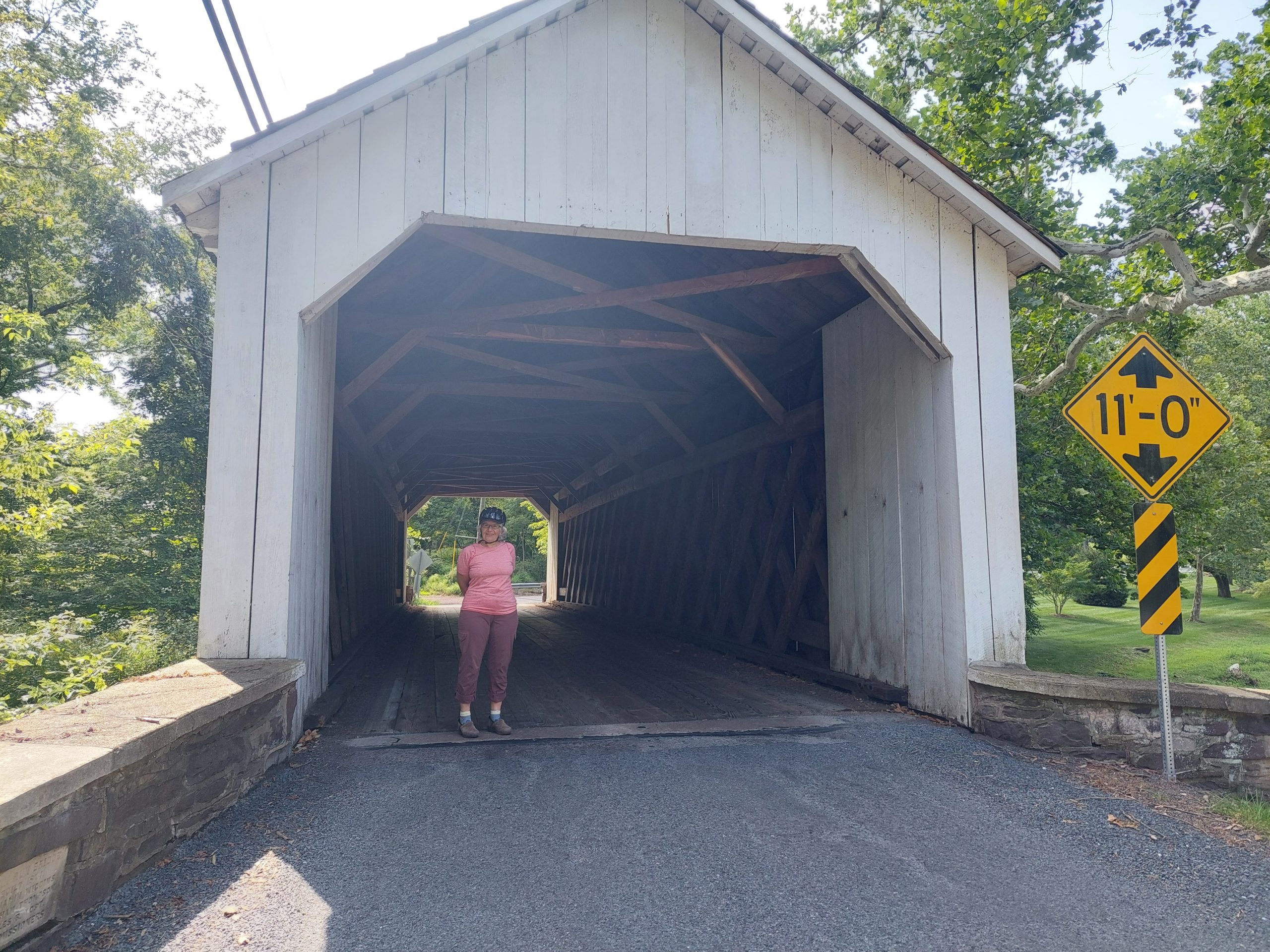
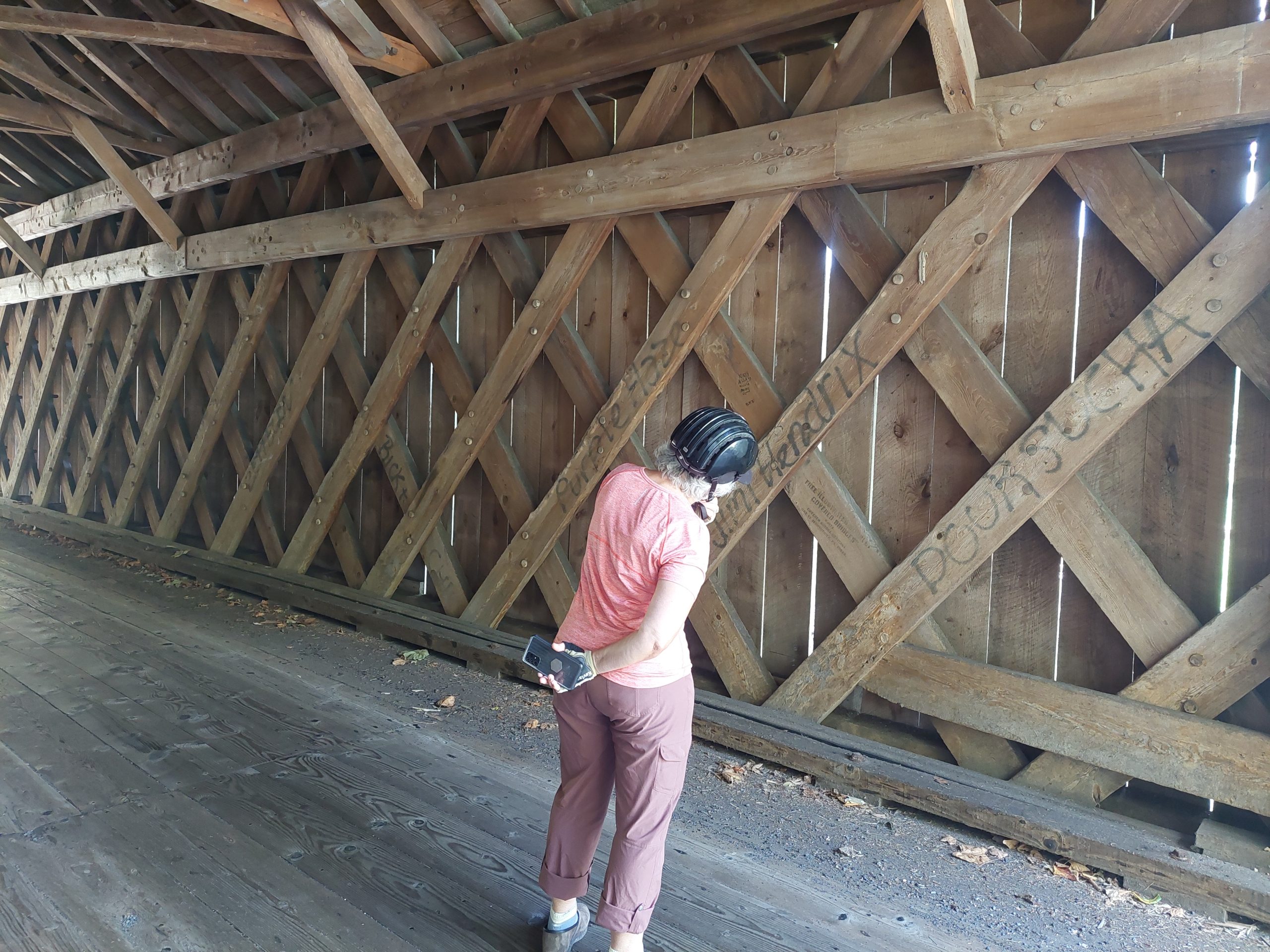
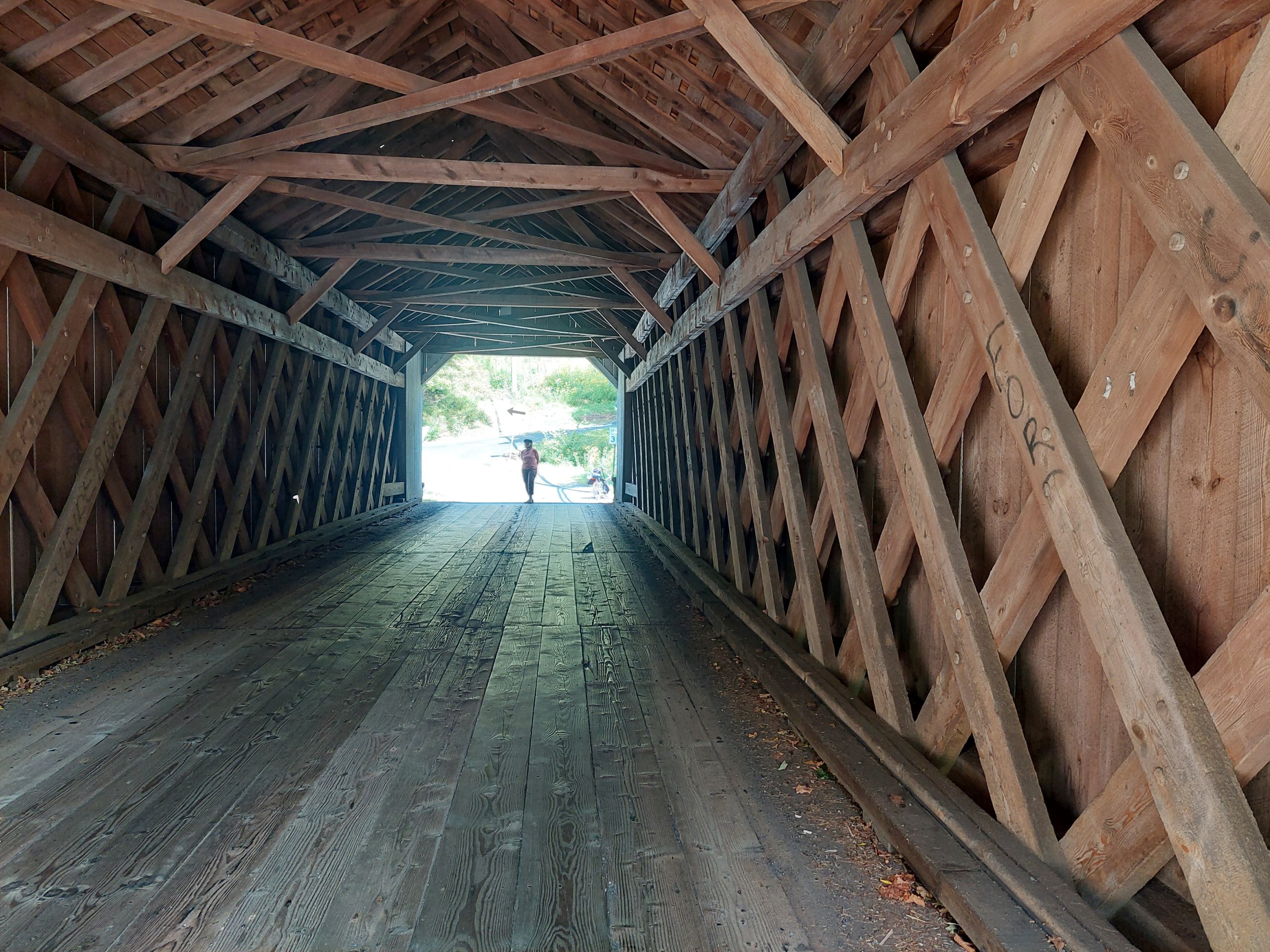
Tohicon CreekTohicon CreekGeddes RunWismer Road At The BridgeAnne At The Covered BridgeAnne In The Covered BridgeIn The Covered Bridge
Our route from there took us west on the Point Pleasant Pike, generally following an old native path to Schwenksville, through scenic little roads, and into more built-up and heavily trafficked areas, until we finally made it to Green Lane Park, our second night’s lodgings.
Day Three
From Green Lane we went north, again following the general outline of a native path — this was the path from the Phoenixville area to the jasper quarries at Vera Cruz. The route was a bit of a surprise; I expected it to be fairly flat (something I’d heard was a hallmark of native paths) but it was actually fairly hilly and rolling.
We got into Vera Cruz, stopped to explore Jasper Park (sorry, no pictures this time), and then we went into Emmaus to get lunch. We came home on our usual route from Emmaus, which was once also a native path. And that was our little holiday!
I had a slow leak on the Santa Cruz’s rear tire, which turned out to be a stuck valve and relatively easy to fix (disassembled and cleaned it), but then the next day the front brake felt super soft. I got new brake pads, replaced the front brake — fixed! I did the back brake as well the next day, and I also finally got the shifting dialed back in. It feels like a new bike…
I took it out on the towpath Tuesday after the front brake fix, then again on Wednesday with the rear brake and shifting done as well. Both times were awesome, but on Wednesday I took the little alternate “fisherman’s trail” in Freemansburg. Big mistake!
The whole trail was completely overgrown with downed trees, sticker bushes and nettles. I fought my way through — it took forever, I had to shorten my ride I took so long — and when I was back on the towpath I got a good look at my arms, which were completely covered in blood. Yikes! It was from the stickers, and it was really just a bit of blood from the tiny sticker scratches, mixed with sweat and looking worse than it really was — the nettles were far more annoying to be honest. But it sure looked dire; I took pictures but I won’t post them here.
Post-ride shower, and my arms looked like it never happened. Bike is still great.
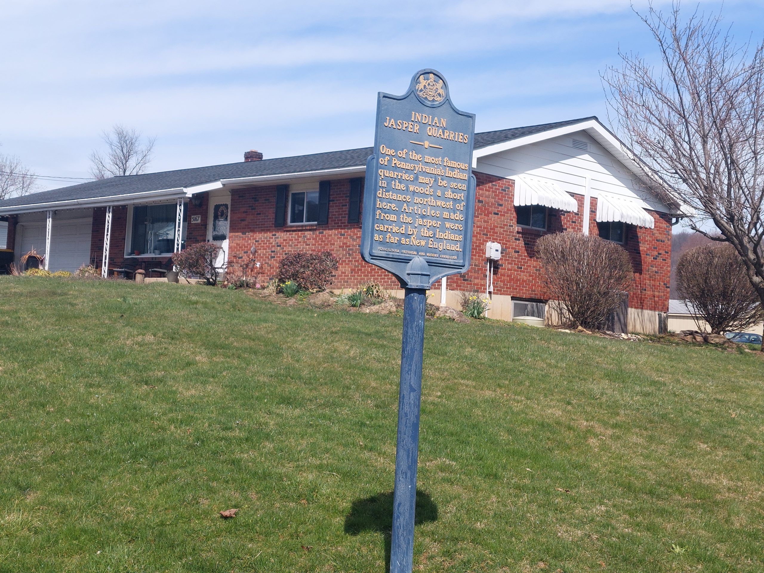
Jasper is a type of stone, sort of like an agglomeration of quartz-like minerals. It’s very pretty when polished and has been used for millennia for ornamentation, and it’s also very good for high quality stone tools like axe heads, arrowheads, and stone knives. There is a seam of jasper going through Lehigh and Berks Counties, and there are small sites all along the seam where natives once dug it up, but the biggest and most important site was an actual jasper quarry just south of Emmaus, at a place now called Jasper Park in Vera Cruz.
This quarry was worked for thousands of years, making it one of the oldest industrial sites in North America, and it really only shut down with the coming of European traders and their more competitive iron wares in the 1600’s. The site was studied by Henry Mercer in the late 1800’s, and was included as the destination for one of the native paths in Wallace’s Indian Paths of Pennsylvania; Wallace also noted that several other paths came together nearby, which was likely how the jasper made its way into the native trade networks — the jasper from here has been found as far away as New England.
As part of my native paths project, I’d put together a bunch of bike rides that more or less follow the old paths, and I have two — one a short ride, and one a multi-day trip — which visit Jasper Park. I have been meaning to go out on the shorter ride for a while now…
The Canal Museum is currently putting together an exhibit about Pennsylvania’s native paths, and just posted something on Facebook about Jasper Park. That, along with the recent nice weather, was enough inspiration to get me off my duff and out on my ride.
I started with some climbing, crossing the Lehigh and cutting across the college campus over South Mountain, then I picked up a few sections of the now-fragmented Old Philadelphia Pike/Old Bethlehem Pike (which name depends on where you are and where you’re heading), which I suspect followed the “Delaware River Path.” From there I headed southwest, skirting the southern flank of South Mountain out to Vera Cruz, and picked up the “Perkiomen-Lehigh Path” which led to Jasper Park, were I stopped to explore on foot.
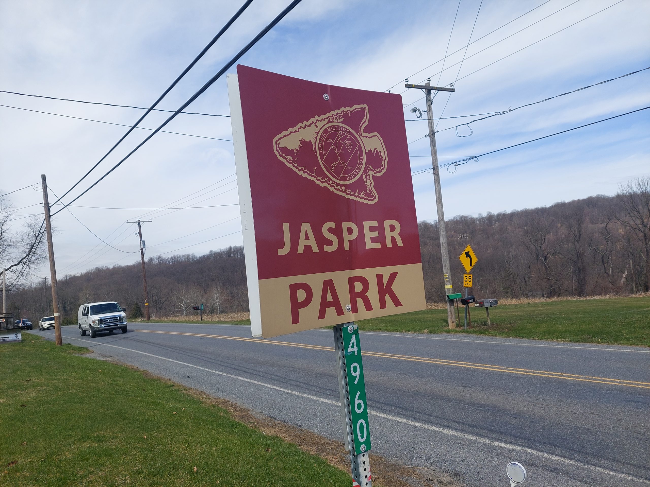
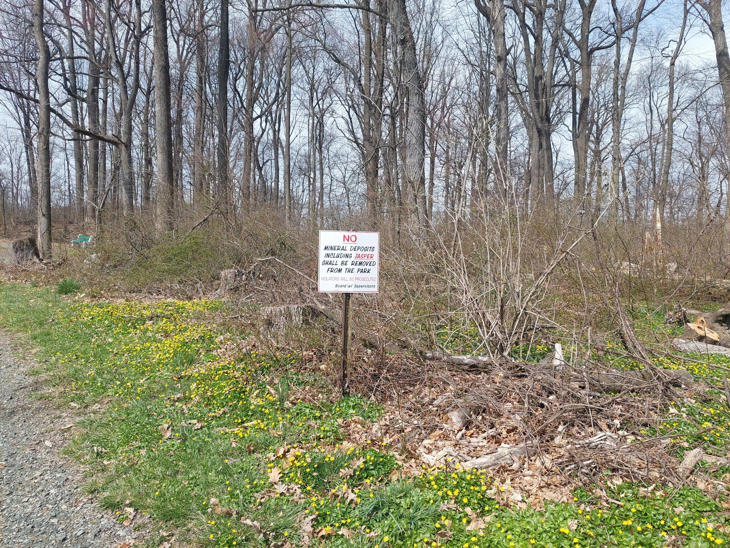
Jasper Park is a Little League baseball field, some pavillions, and a small fitness trail; the quarries are off the fitness trail, in the woods behind the ball field, and tucked up against the Turnpike Northeast Extension right-of-way.
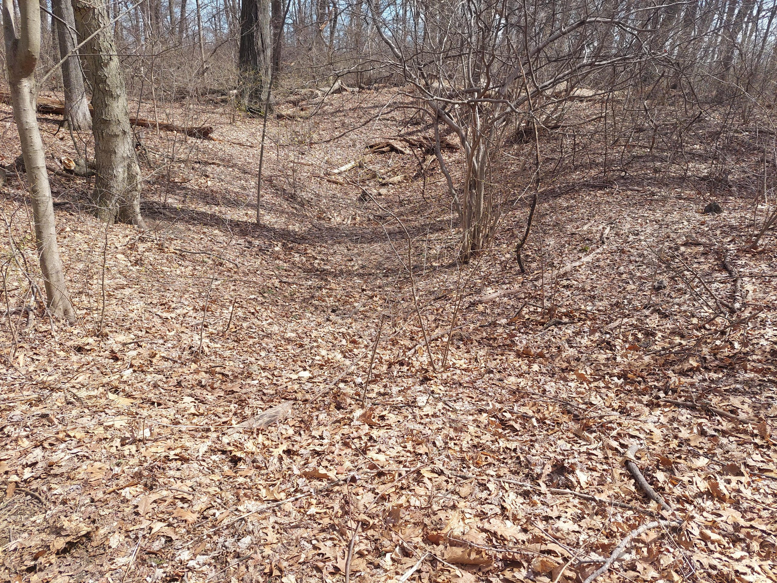
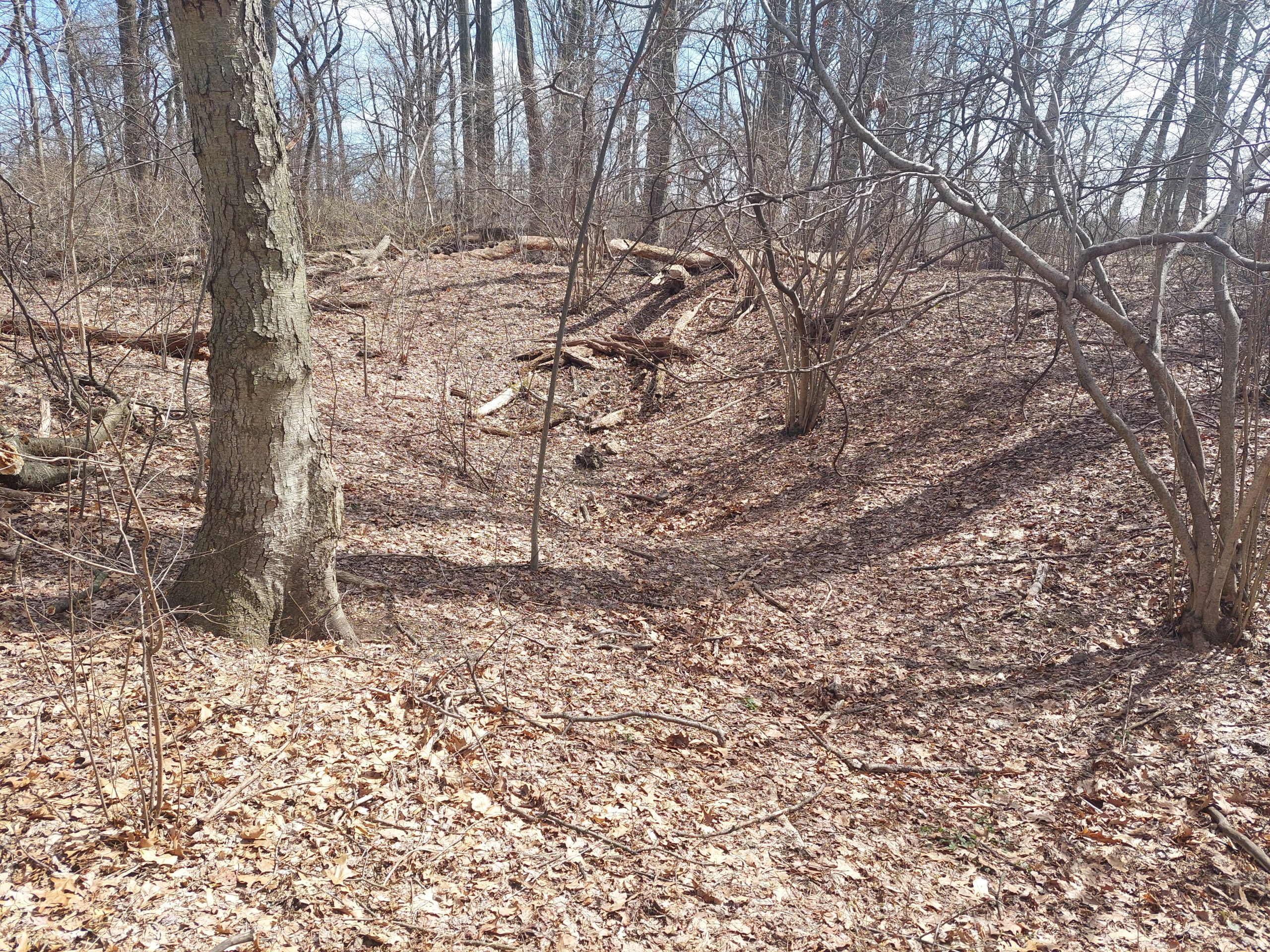
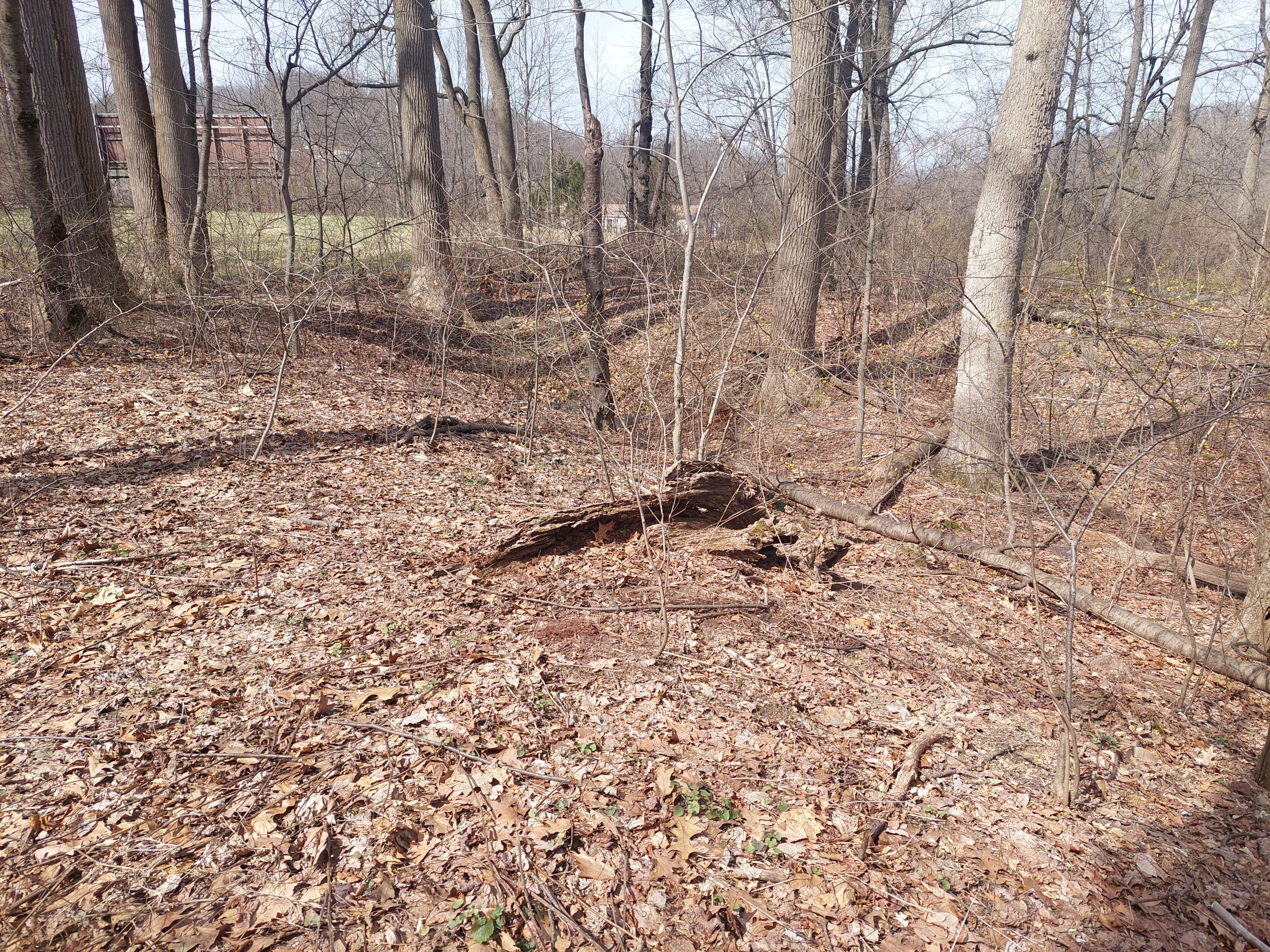
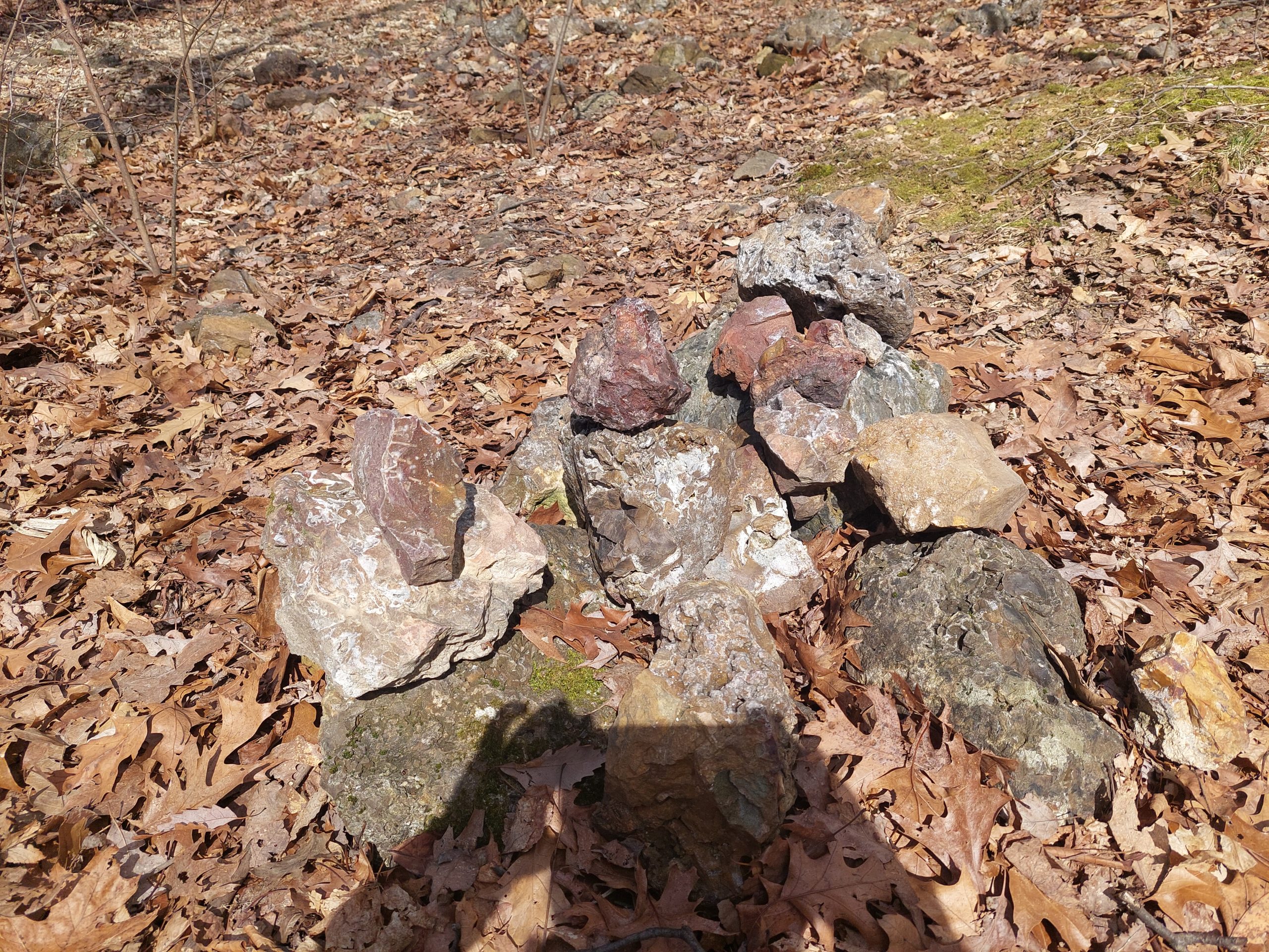
There wasn’t really much to see, no spooky vibes or anything, though it was cool that the ground still showed the indentations after almost 400 years. The top stone in the pile might have been what’s called a “turtleback:” these were once considered a very primitive form of stone tool, but are now thought to be stones that were partially dressed for trade, which would be shaped to their final form (arrowheads etc) by their end users.
After my expedition I got back on the bike and came home via Emmaus. I was essentially following the “Perkiomen-Lehigh Path” to the “Oley Path,” and it was pretty obvious that I was following the native paths more closely on the way home: the route was much flatter, and traffic was heavier — native and modern routes both preferred to avoid the hills.
In the end, the hilly parts were not historical, and the historical parts weren’t hilly…
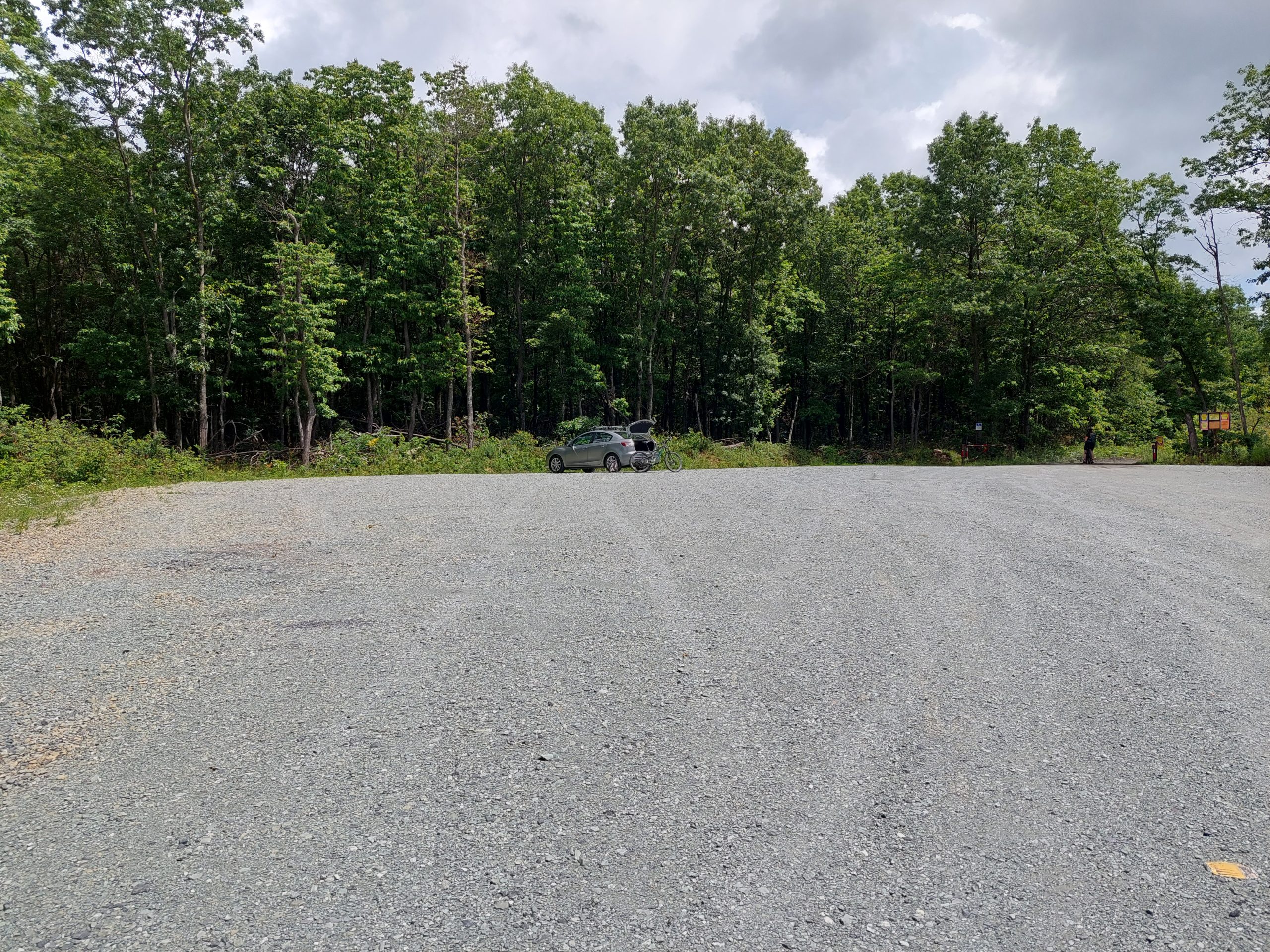
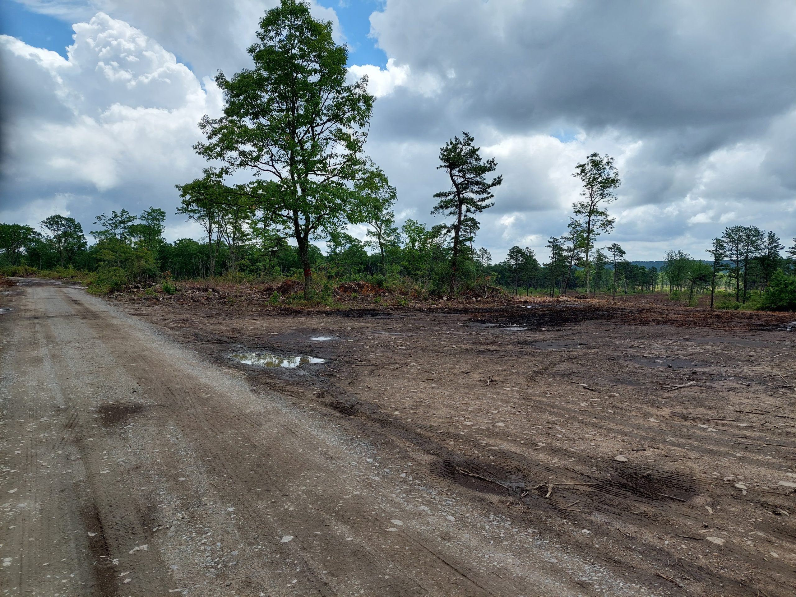
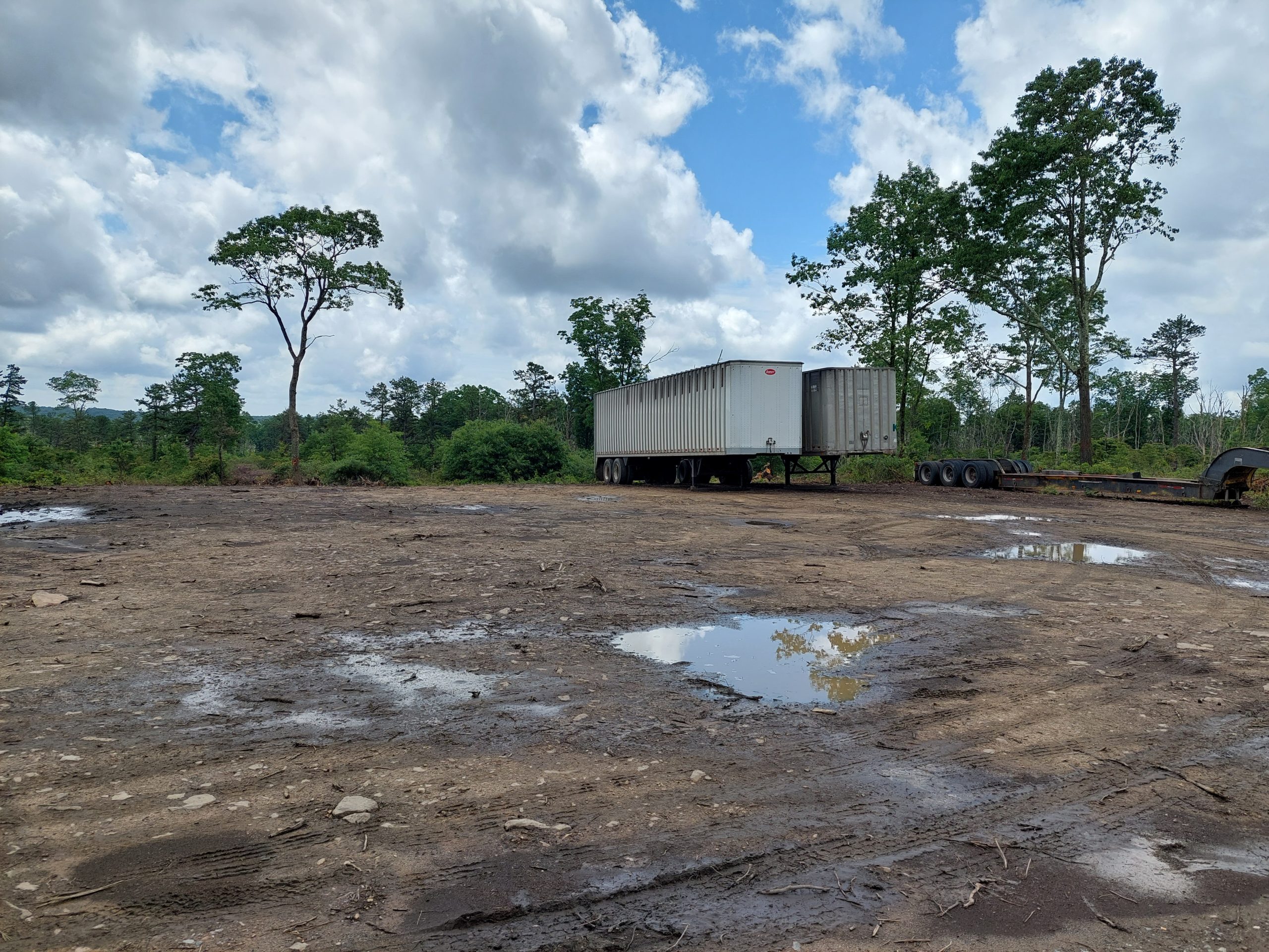
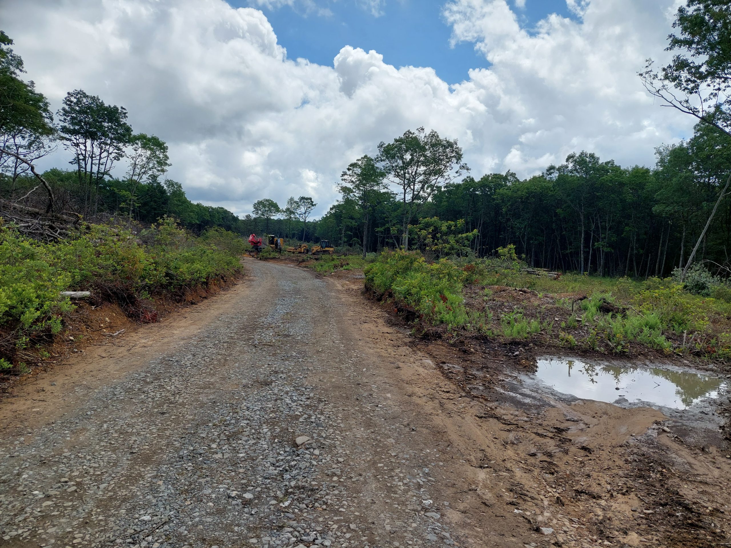
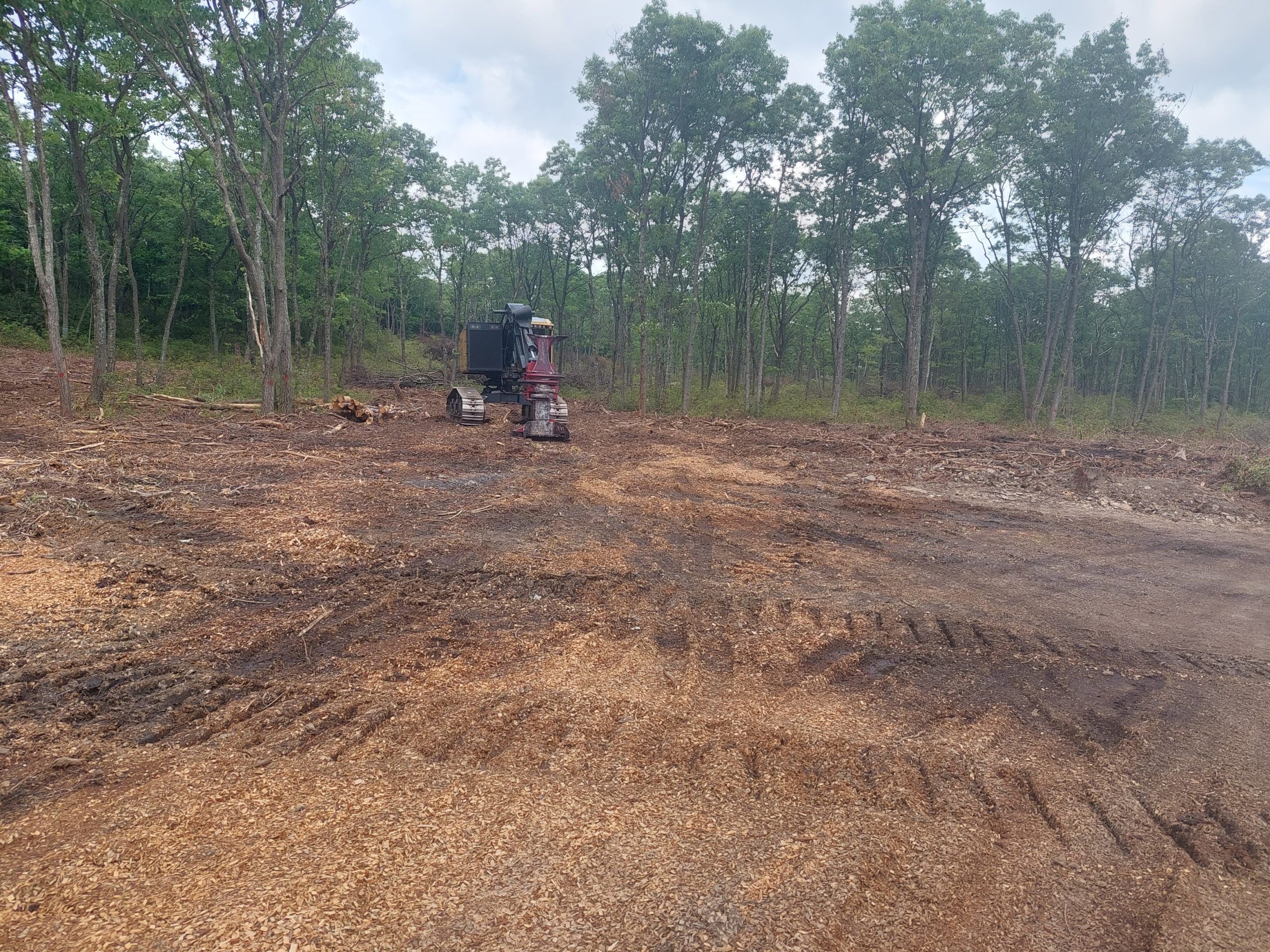
I got out with Renee for a ride in Jim Thorpe on the 3rd. It was a bit disappointing (OK, that was an understatement — it was devastating) when we discovered that a lot of the area around the trailhead had been logged off. I wanted to do the Deer Path but it was literally gone, and we ended up doing the Uranium Road and the Pine Tar Trail. By and large the ride was fun, but it was hard to see what they’ve done to that place, especially right at the entrance. Some pictures:
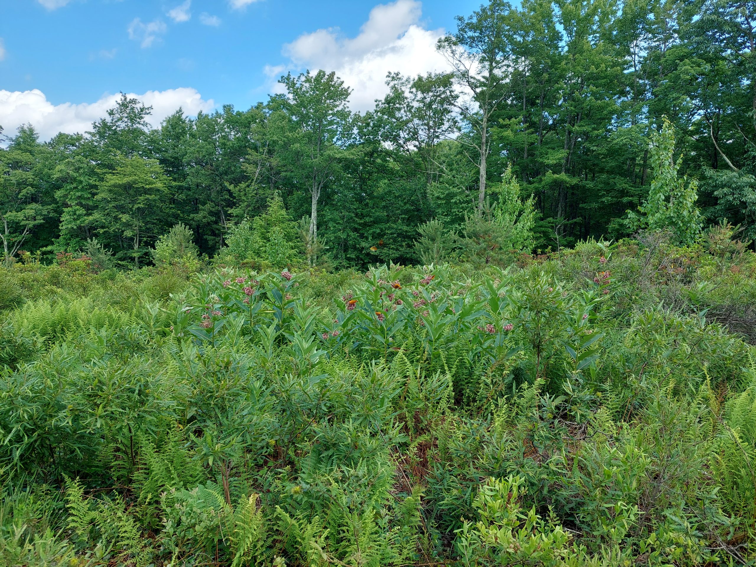
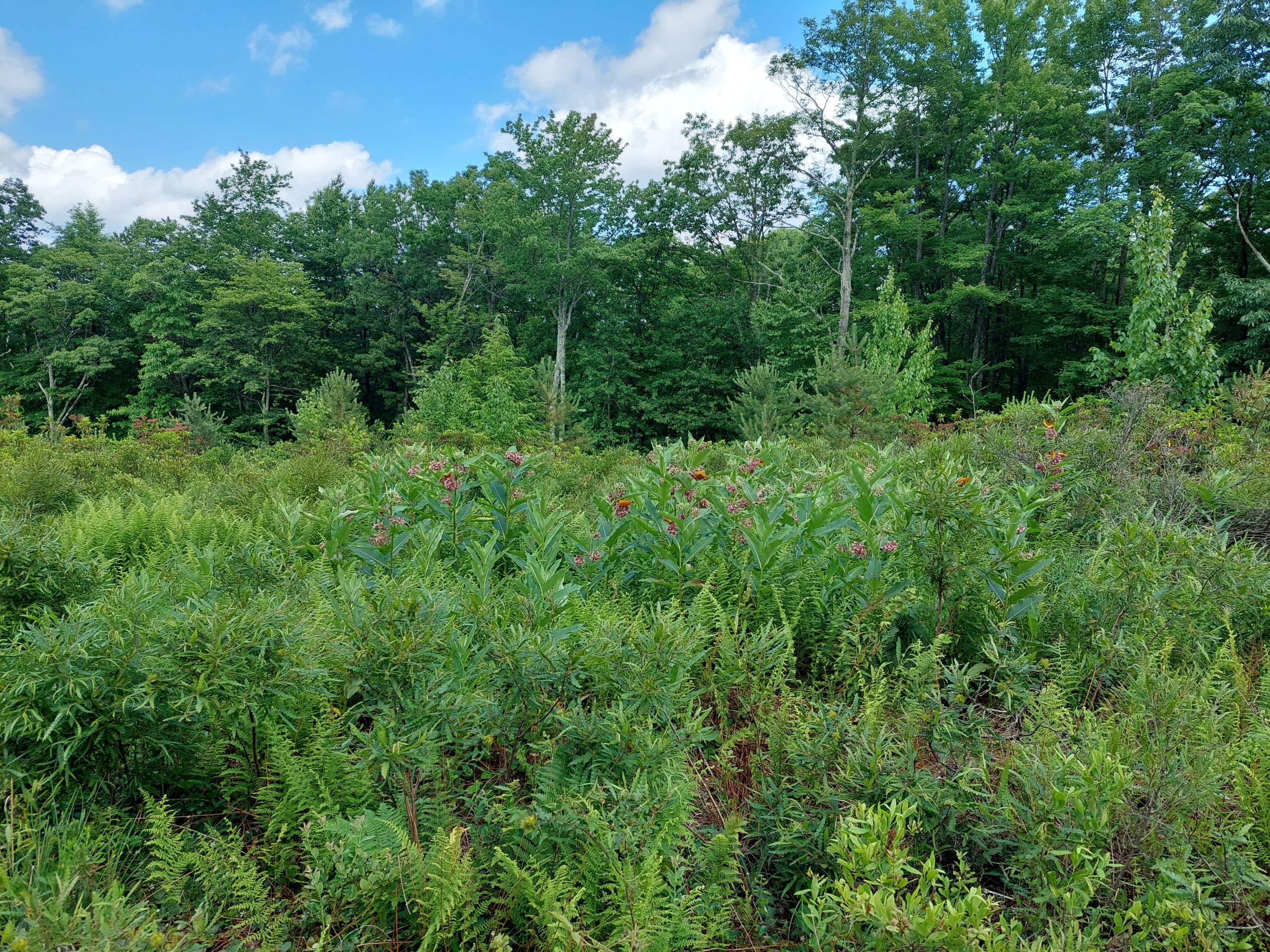
New Game Lands ParkingLogging In The Game LandsLogging In The Game LandsLogged Off Game LandsMonarchs on MilkweedMonarchs On MilkweedMountain LaurelMountain LaurelWhere The Deer Path Was
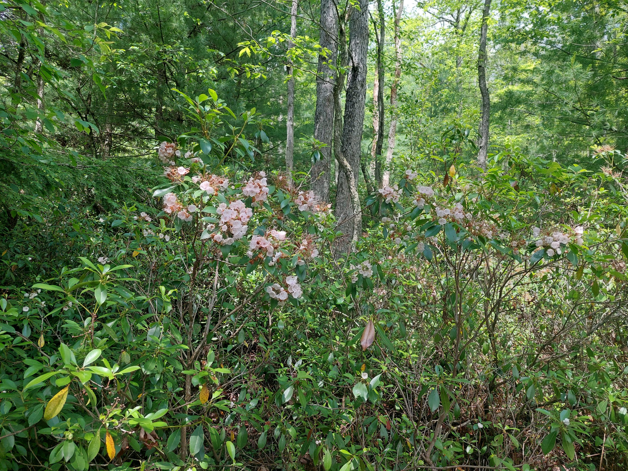
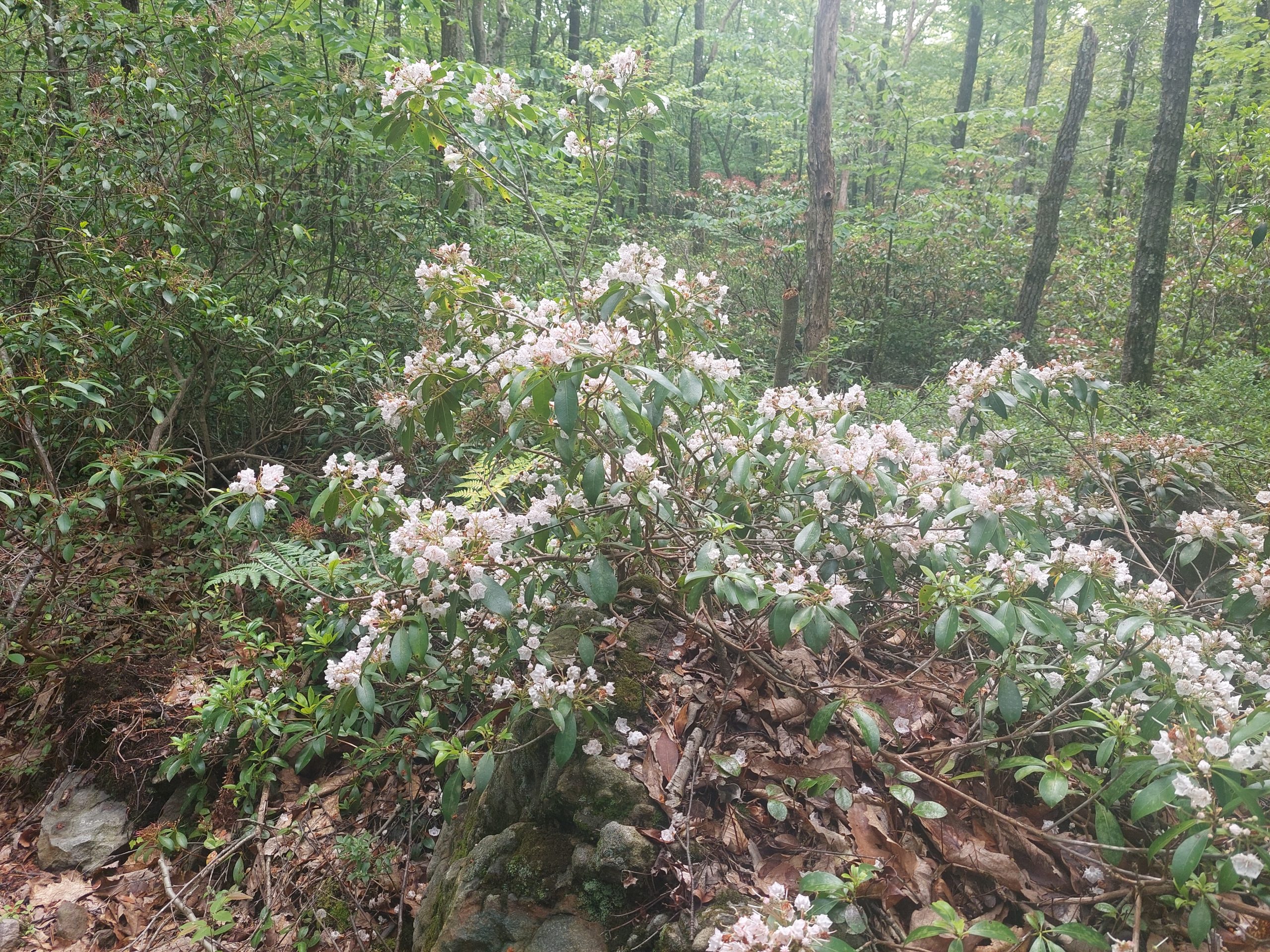
I did get to see some mountain laurel blossoms before they passed, but I could tell the main part of the season was long over. Maybe next year…
On the Fourth I went over to Greg & Judy’s to do their annual ride, a little mellower version than in previous years — which is good because I don’t think I could have handled one of those old-school rides… An awesome morning on the road bike through, with friends I just don’t see often enough. I didn’t stick around for the post-ride BBQ — I just came home, showered & napped, and then that night we watched the fireworks from our porch.
Doug and I did Jacobsburg in the heat yesterday, about 15 miles including some new rail-trail:
And Anne and I got out this morning and sneaked in a quick 25 miles before the rains came. Not a bad week!
It’s pouring now, on and off as storm cells blow through, and we’re just hanging out listening to jazz. Emmi & Kyle are coming over for dinner tonight (with Iris of course). Tomorrow is more rain.
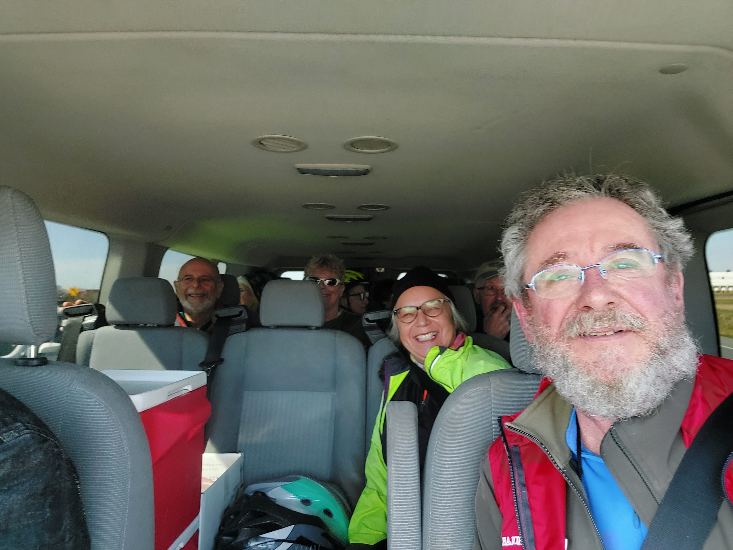
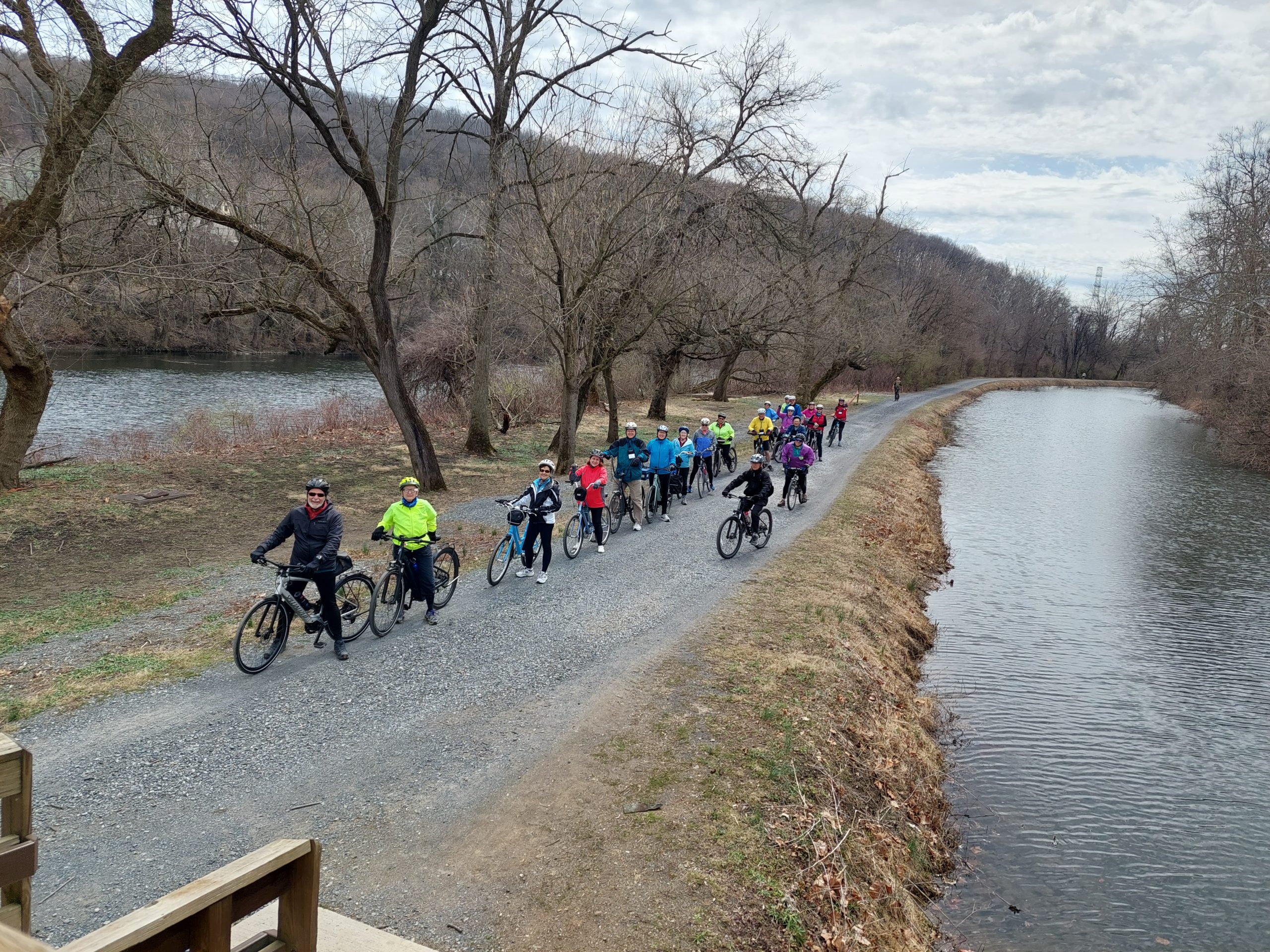
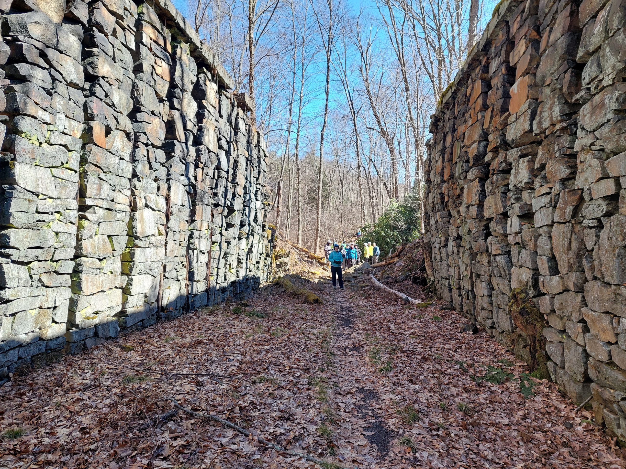
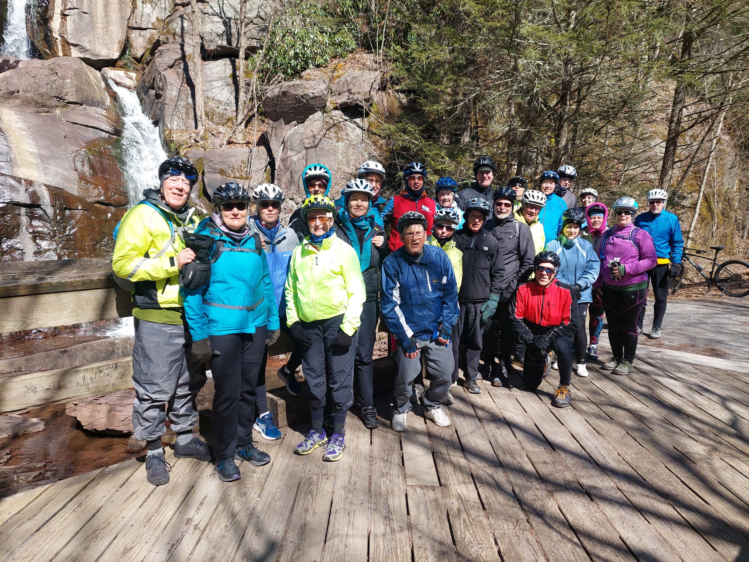
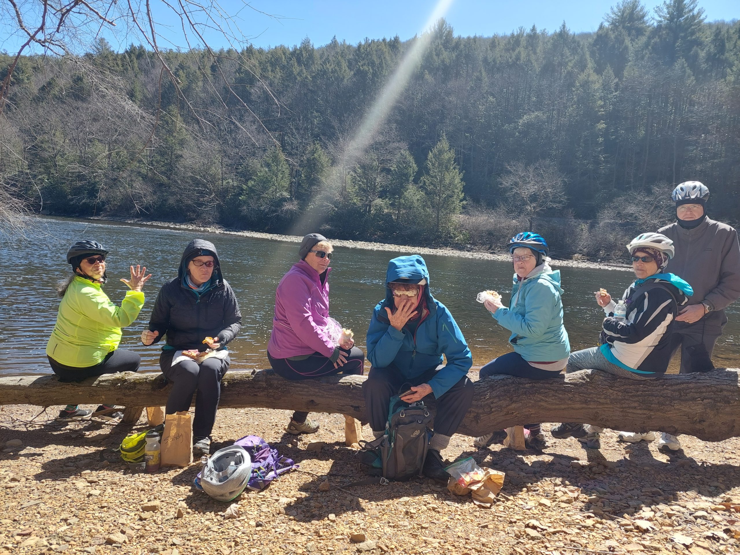
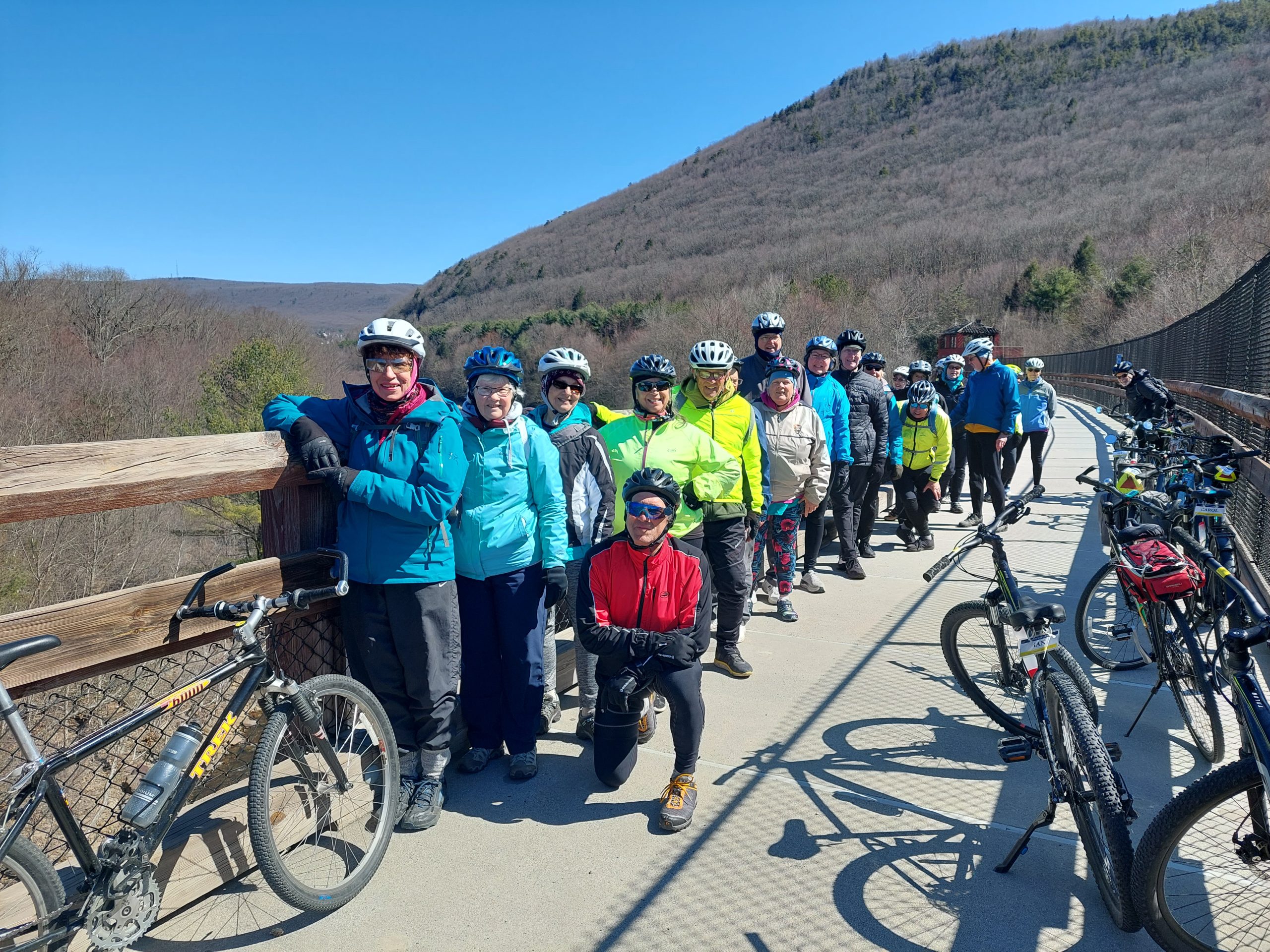
Here are some photos of March’s Road Scholar ride:
A Selfie In The VanRoad Scholars: FreemansburgRoad Scholars At Lock 22Buttermilk FallsEating Lunch Along The LehighRoad Scholars On The Nesquehoning Trestle
The ride doesn’t seem that long ago, but it’s amazing to see how wintry it looked compared to now.
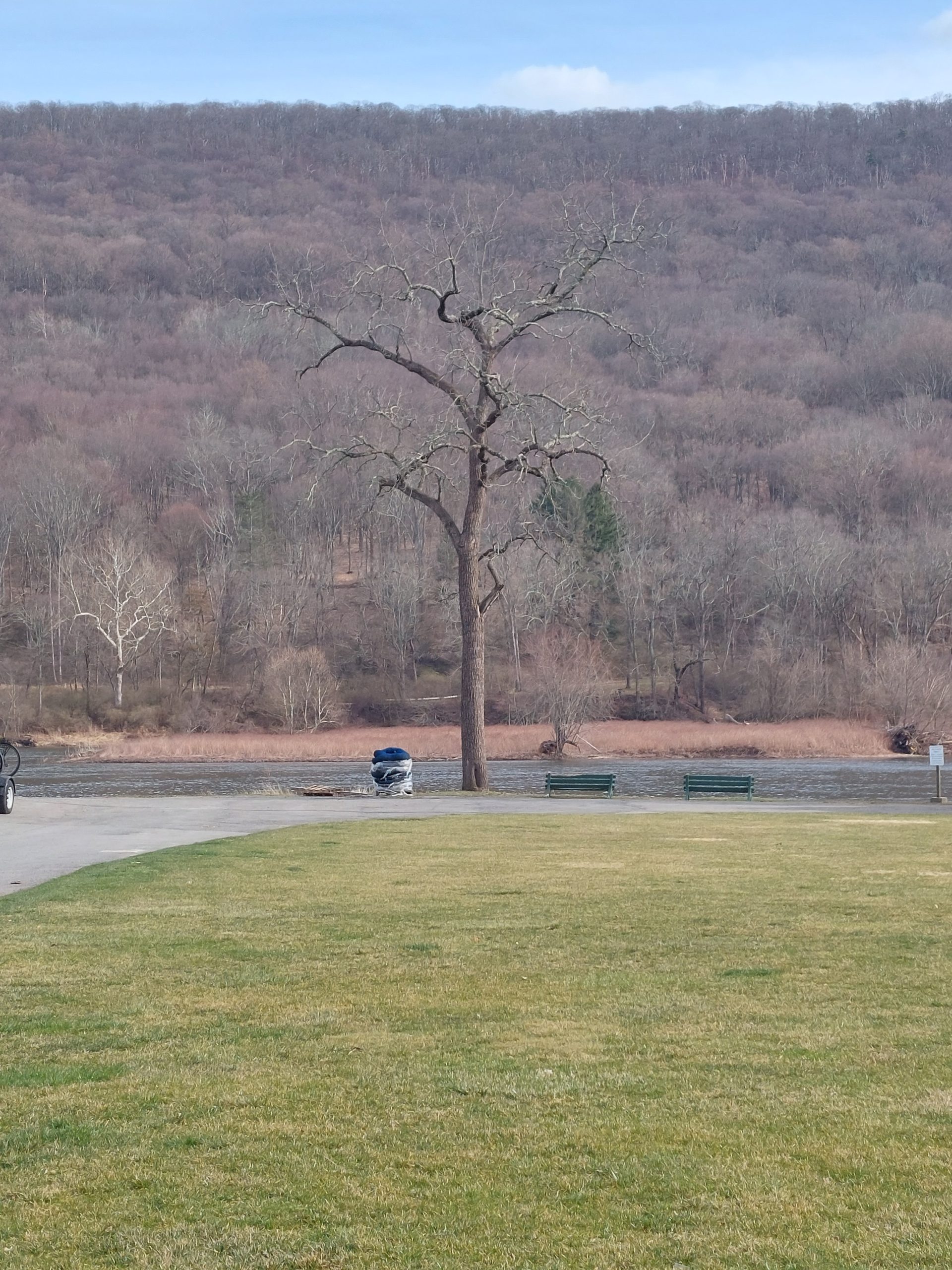
Here is one last photo; I just liked the looks of this tree at Shawnee:
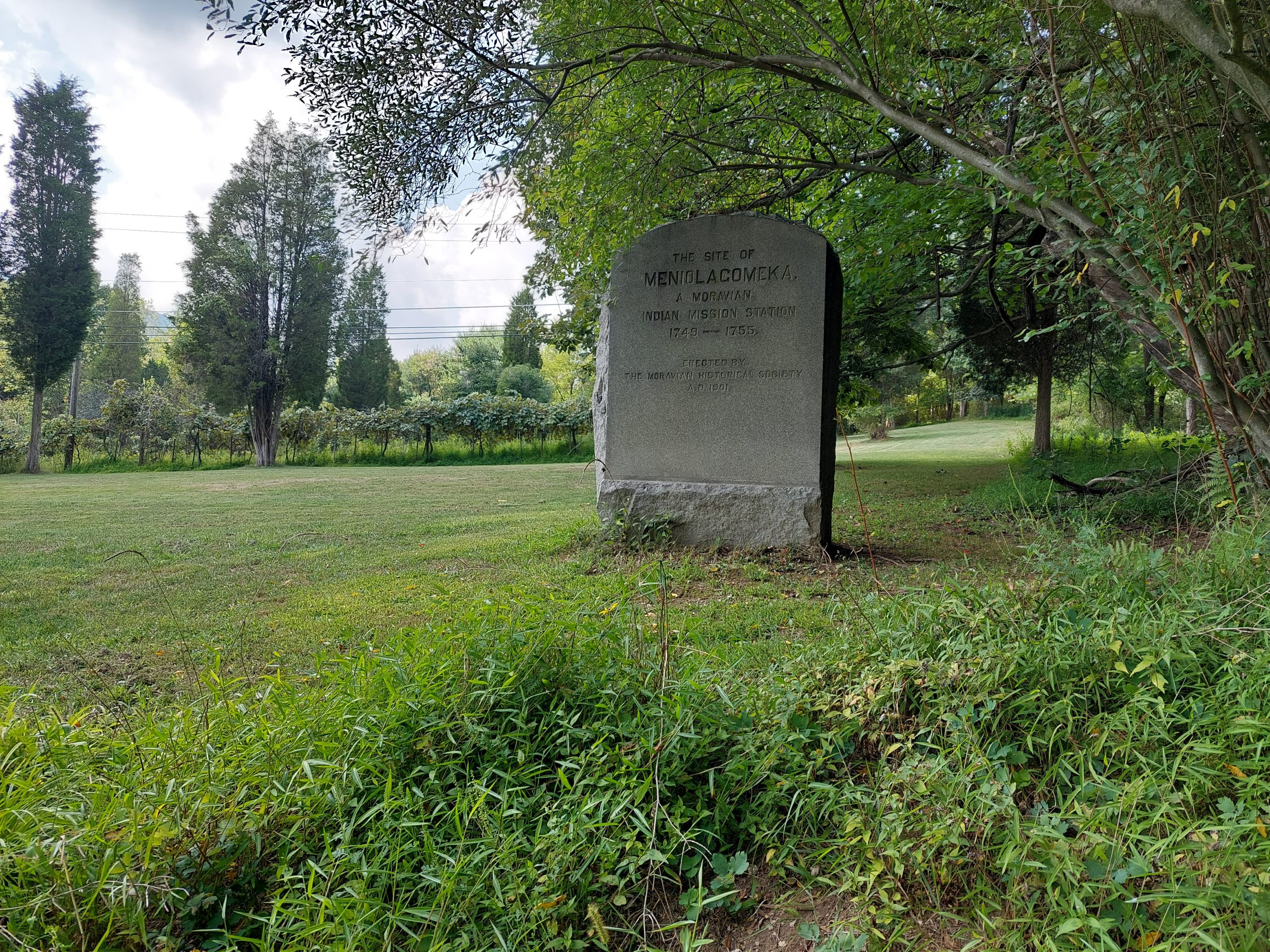
Meniolagomeka (“fat land in the midst of scarcity”) was a small Lenape village near what is now Kunkletown, on the banks of the Aquashikola Creek just north of Blue Mountain at Smith’s Gap. The Moravians had converted many in the village, and eventually founded a mission station there, but some time after the Walking Purchase the natives were evicted by the colonial authorities, and the Moravians relocated them to Gnadenhuetten (Lehighton). The actual location was pretty much forgotten for a century, until the Moravian Historical Society rediscovered it and put up this memorial marker.
The village is not far off the route of one of the more iconic local bike rides — among my crowd anyway; it’s part of the old Gap Gallop century ride, crossing Blue Mountain at Little Gap and returning via Wind Gap a dozen or so miles further down the ridge — but I had no idea anything like this was here until recently. After the week of kitchen disasters we just had, Anne and I both needed a big ride, so even though the Blue Mountain route doesn’t really follow many native paths, and the Meniolagomeka site does not figure prominently in my Native Paths project, I thought it would be neat to do the ride, and make an effort to find the old memorial stone.
So that was the ride we did on Friday, with our friend Dwight H.
Our ride took us up Township Line Road, through Bath and Moore Township, and out to Danielsville via the little roads that run south of the mountain. Blue Mountain Drive was being repaved and was down to one lane the whole way to the top, but the construction guys gave us some traffic assistance (and an audience) for the climb. We regrouped at the top, then bombed down the hill, past the ski resort and made the right onto Smith Gap Road.
The memorial is on a road called Chestnut Ridge Road, a turn off Smith Gap Road (and pretty much at Smith Gap). We turned off our route, spent some time admiring Aquashikola Creek, and then rode a few hundred yards up the hill and found the stone — it was at the edge of a field, on what looked like private property but close to and easily visible from the road. We stopped, took some pictures and paid our respects, and then continued on our way. (We heard thunder so we weren’t sticking around.)
The rest of the ride was pretty uneventful, though we did get caught in a storm cell (a little cold rain actually felt good), and we also stopped at the “Snoopy Barn,” where Dwight took a few selfies. All told, we got in about 67 miles in just over seven hours. (I took about a mile off the beginning and end of the ride on my map, to preserve some privacy.)
This is the thirteenth (and last) in a series of posts about our bicycling trip from Jasper to Canmore, via the Icefields and Bow Valley Parkways, through Jasper and Banff National Parks in Alberta, Canada. The full series can be found here.
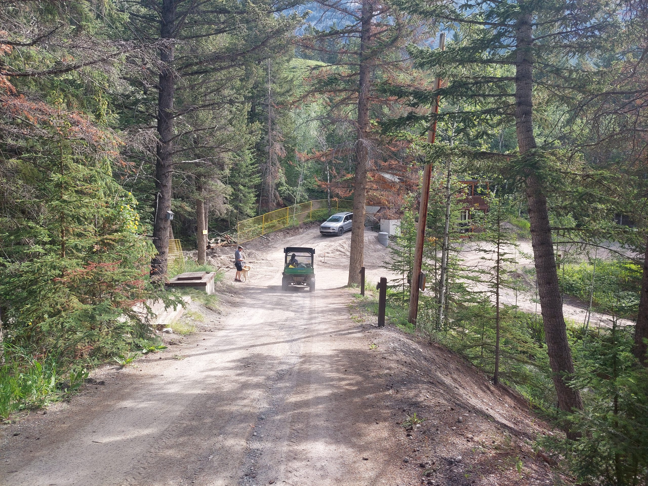
We stayed at the hostel again for our last night in Canmore. By this time I felt like an old hand, a hostel regular… In the morning we packed up and, since the driveway was under construction (thus inaccessible to taxis), we got a lift down the hill in the little hostel vehicle, or at least our bags did.
Our Luggage Goes Down The Hill
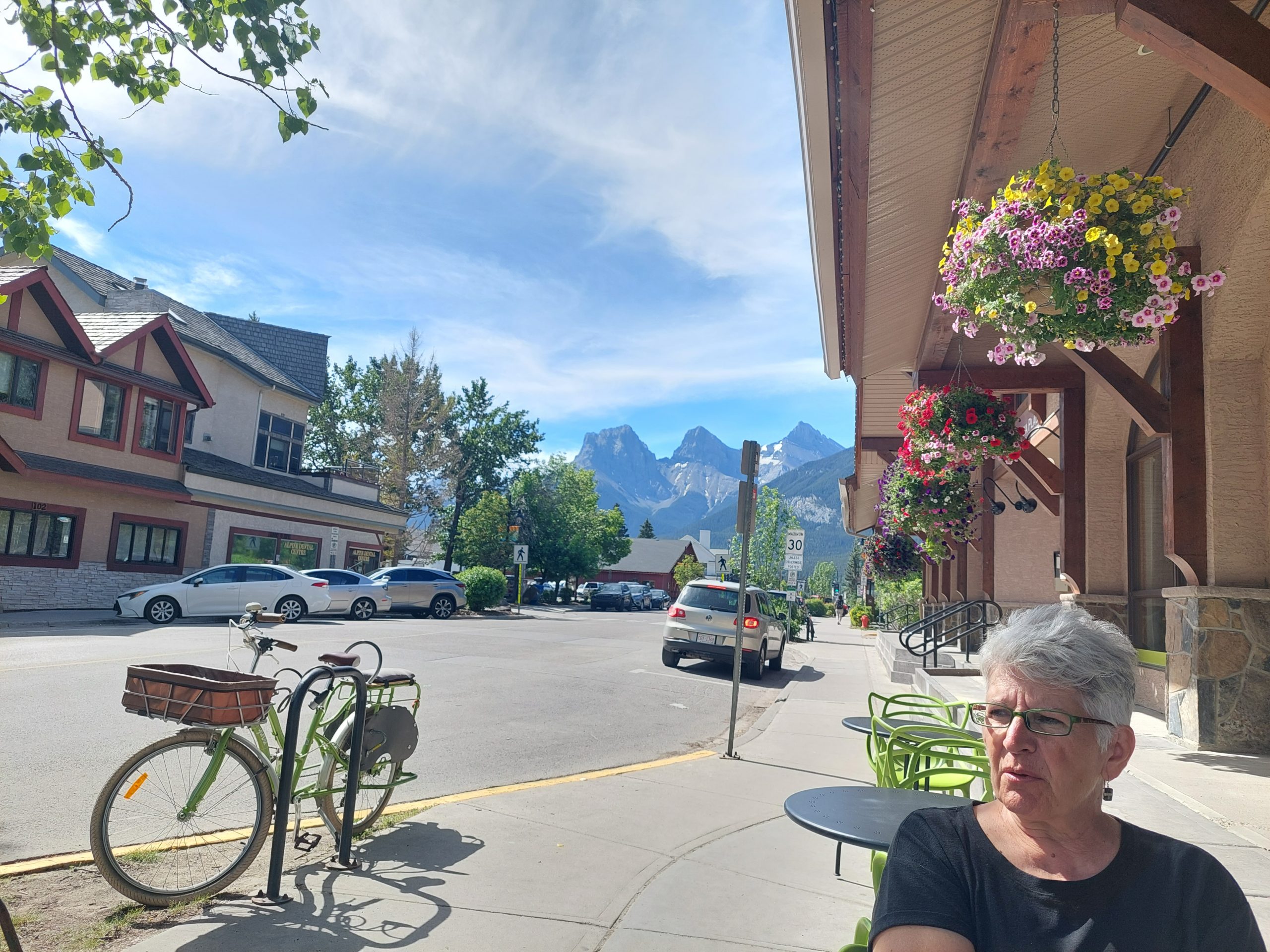
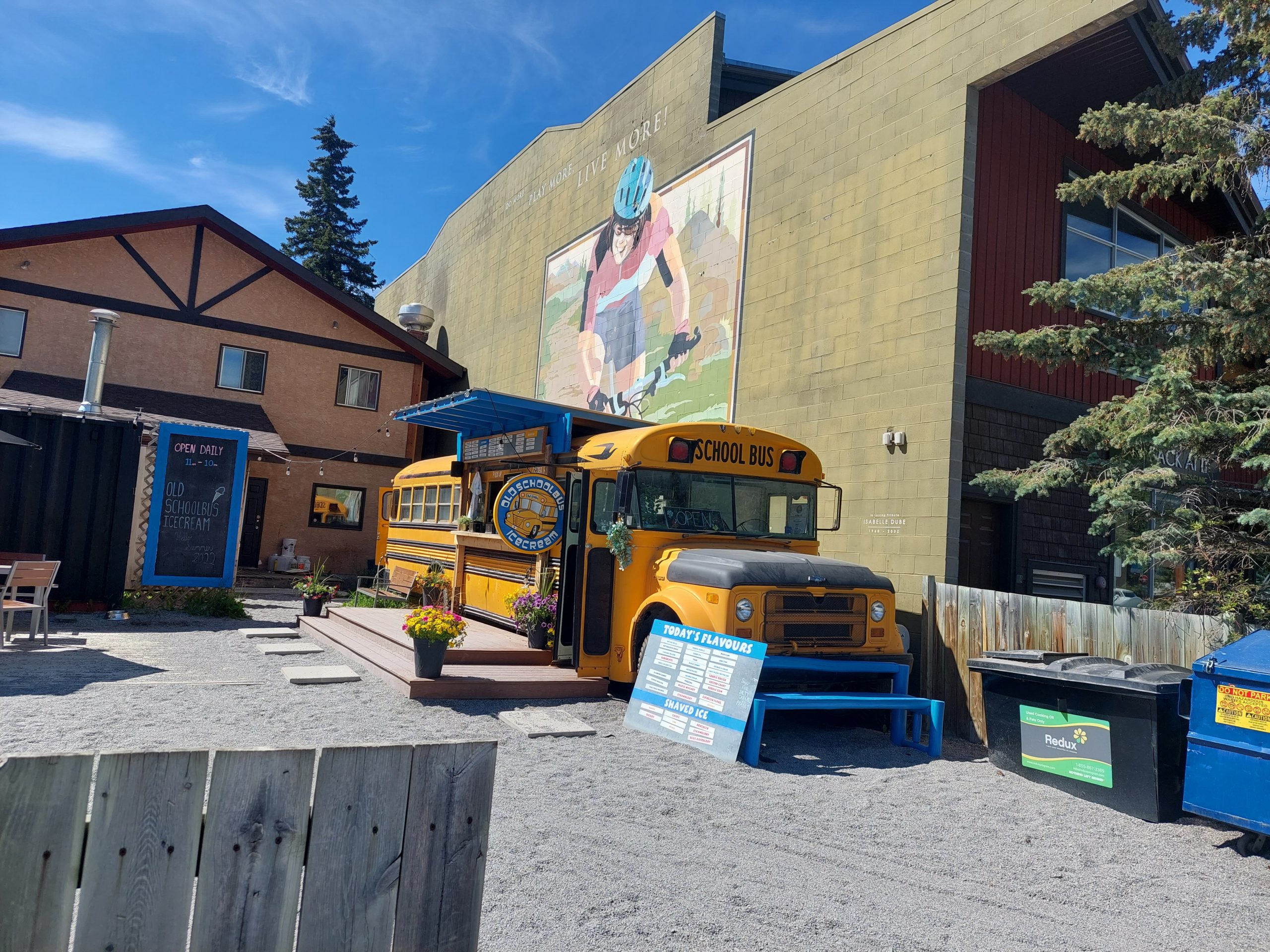
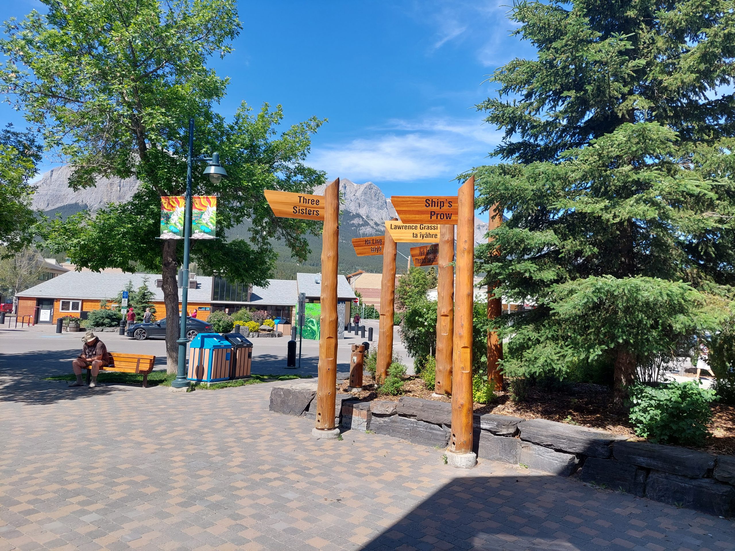
At the bottom of the hill we found that no taxis were available anyway, but we got a lift from yet another kind stranger with a pickup truck. Our benefactor dropped us off at the bike shop, where our bikes had been boxed and where they let us stash our bags for a few hours while we waited for the shuttle. We got one last walk around town before we left.
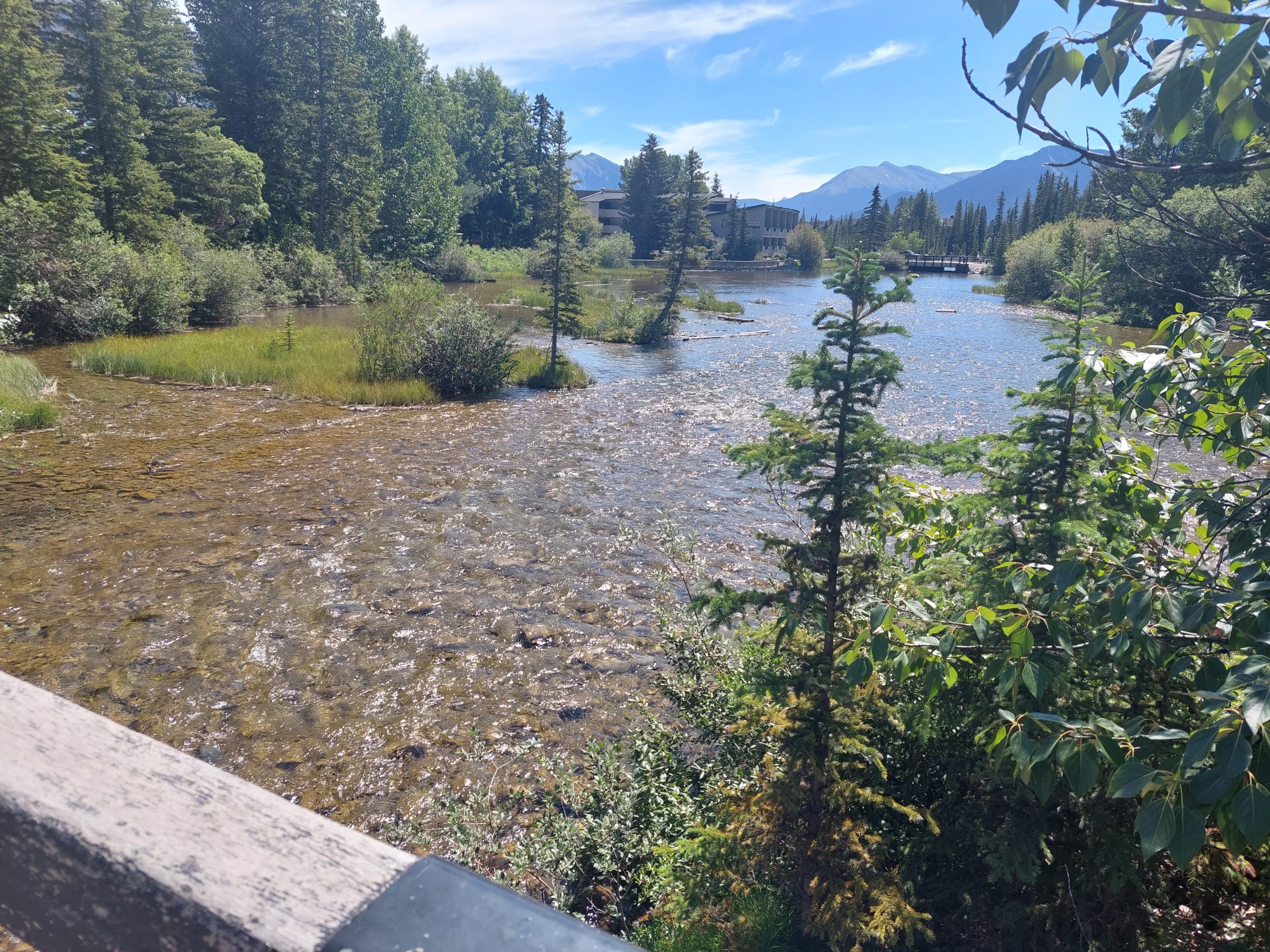
Three Sisters And AnneThe Ice Cream BusCanmore DowntownNon-Glacial Stream
The bike store owner got us to the shuttle stop, the shuttle got us to the Calgary Airport, and the hotel shuttle (barely) got us to the hotel — barely, because their big vehicle was in for service, and we could hardly fit with all our stuff into the minivan they showed up with.
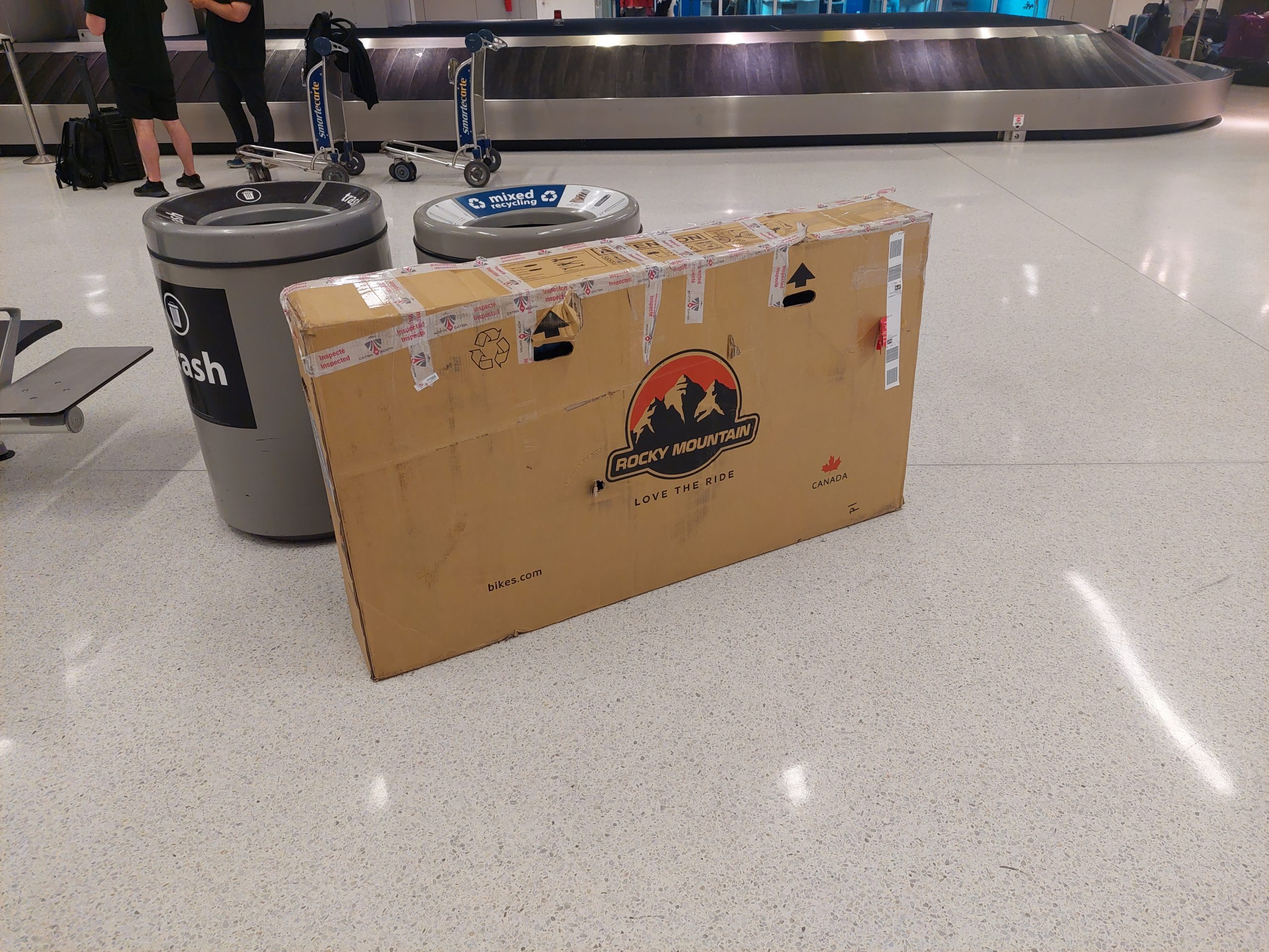
The hotel was busy, because everything was busy with the Calgary Stampede in town (it’s the biggest rodeo in North America), but even so, it was an airport hotel in the middle of nowhere, and there wasn’t much going on. A short walk to a nearby brewpub, and an early night, and an early morning flight for me (Anne’s flight would be the following day). Once again, the flight had some difficulties and delays, but the bike and I both made it to JFK in one piece.
Bike Back On The Ground
Julie picked me up from the airport, and let me know about the cell phone lot where she’d waited for my flight to arrive. This came in handy the next day, when I drove to JFK and picked Anne up…
…and then we were home. We took a few days to rebuild the bikes, clean and stow our gear, and get rid of those bike boxes, but now it’s in the past. All in all, this was one of the best trips we’ve ever done, “ten out of ten, would do again,” in a heartbeat. I really enjoyed reminiscing, I hope you all enjoyed following along!