I’ve been moving forward with the additional D&L access and amenities points for my project, but the trail sections south of Riegelsville are terra incognita, especially when it comes to trail access, so I relied on GIS to find access points: I split the road network into “trail” and “not trail” sections, and intersection points (that aren’t at bridges) made for pretty good access candidates; some closer map inspections verified a few obvious trailheads, and weeded out some things like private drives. A lot still needed to be verified via “ground truthing” though, and so the other day I went out for a ride, starting from Riegelsville, south along the towpath to Tinicum Park.
I had my candidate points loaded in my GPS so I could see on the map when I came upon one; I could add locations I’d missed, and delete false positives as I spotted them, and by the time I was done I should have a pretty good idea of how to get on and off the trail. This method worked really well, and the only real problems were judgement calls at what seemed like private access points. (Things are a little different in Bucks County, there are some wealthy homes between the trail and the river, with their own driveways and footbridges, and while some crossings are obviously marked “Private – No Trespassing,” others were maintained, and painted, as if they were park property.) Judgement calls, and I think I made the right calls, but for the most part it didn’t matter — all these these access points were too far from any amenities to be useful.
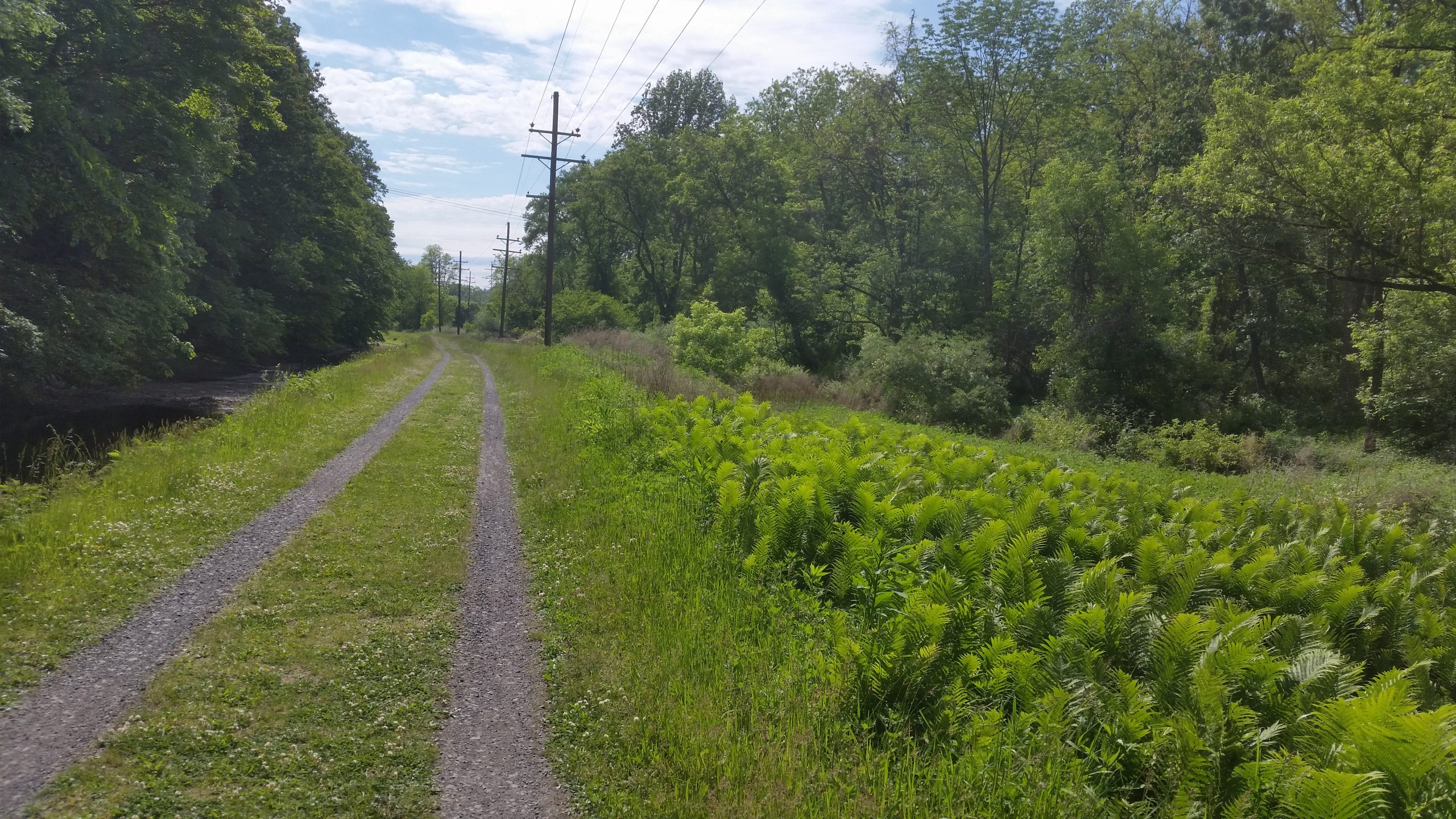
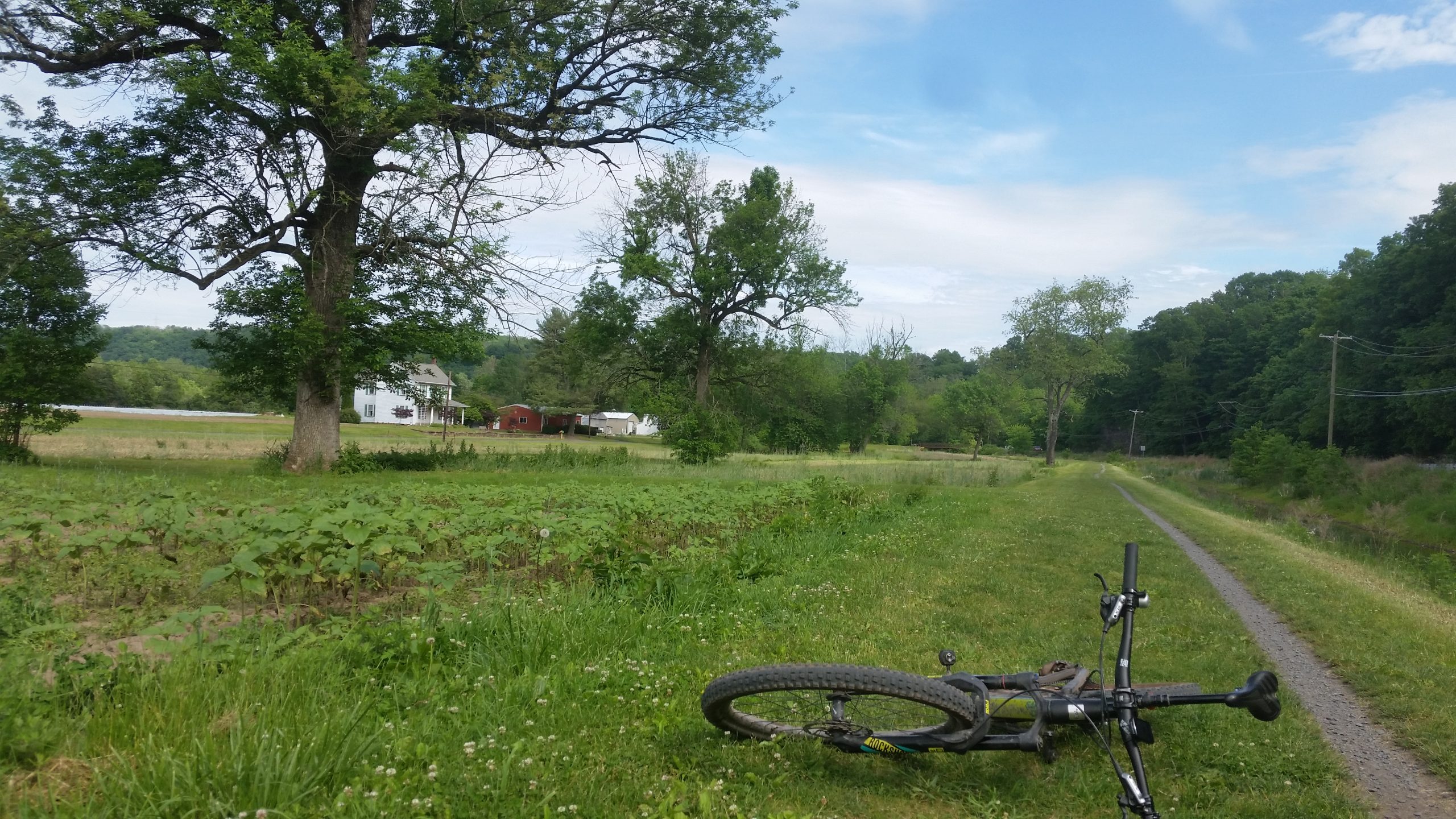
It was easy and pleasant work, and I took pictures on the way back:
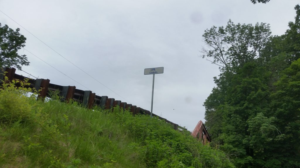
The Promised Land! 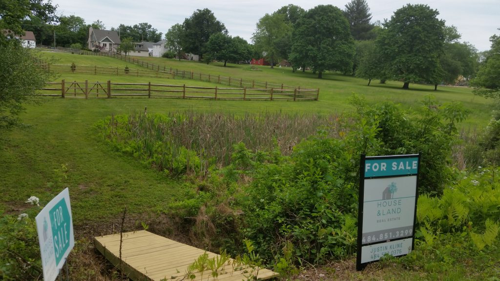
All This Could Be Yours 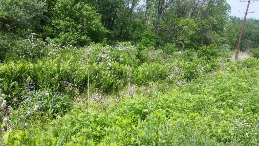
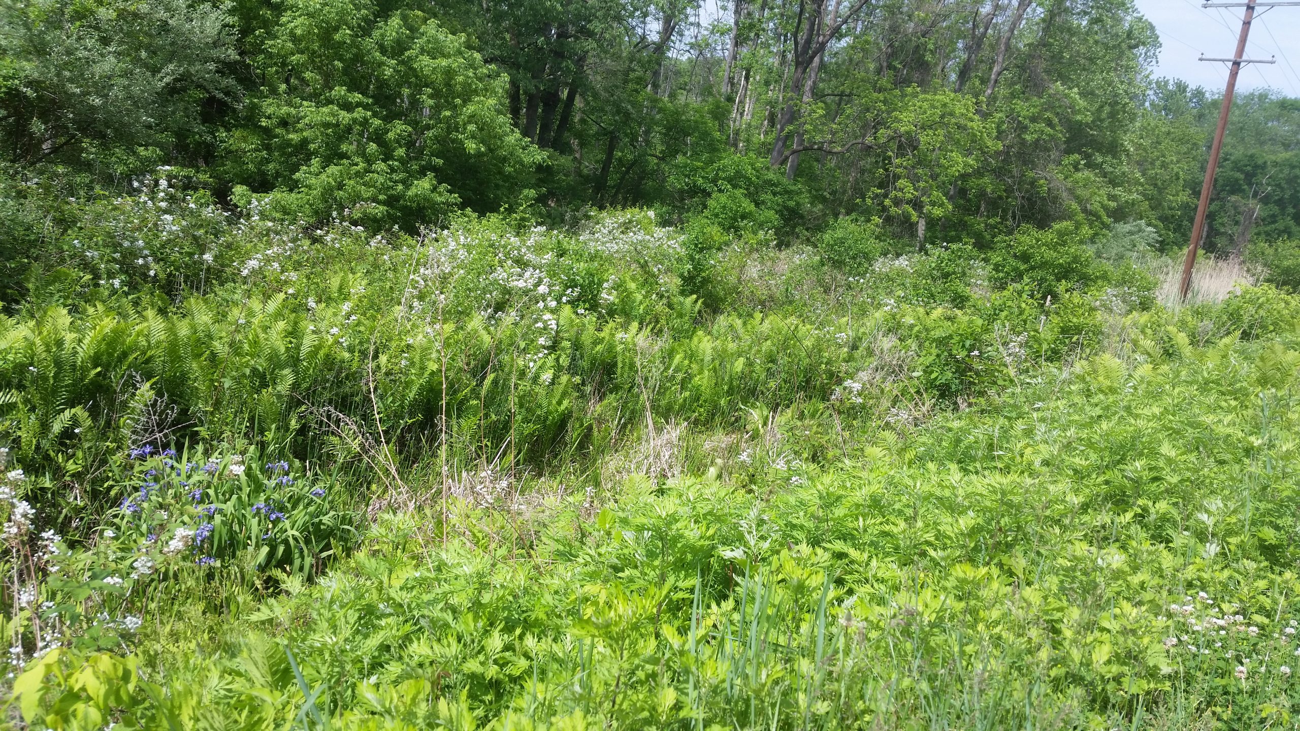
Trailside Ferns and Flowers 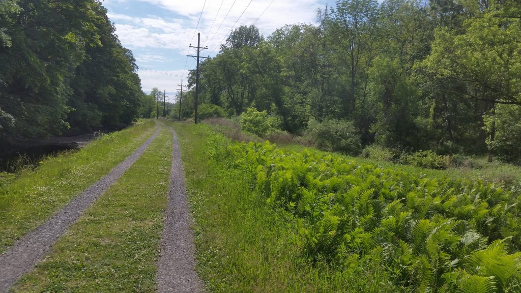
The Delaware Canal 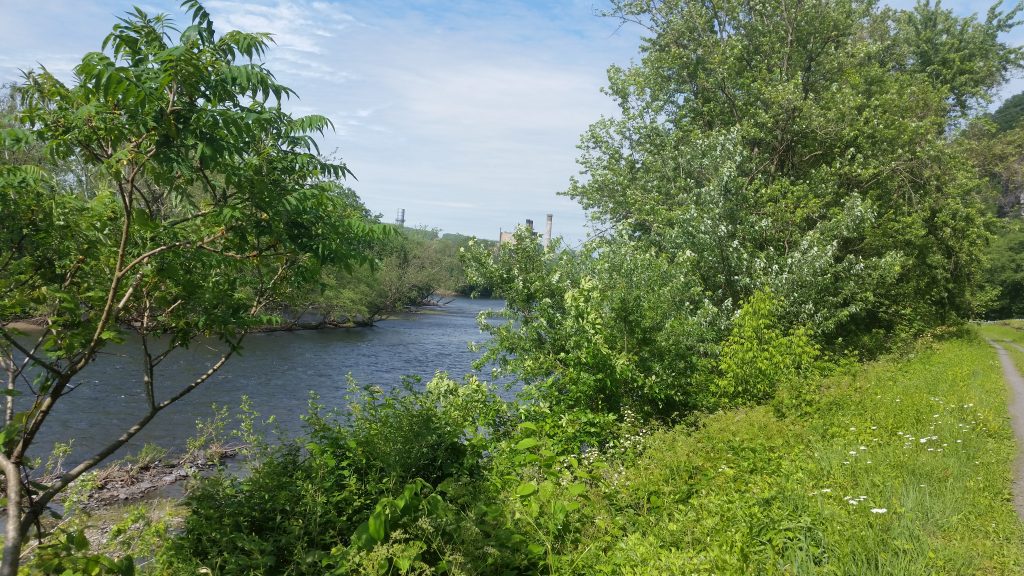
Gilbert Station in background. 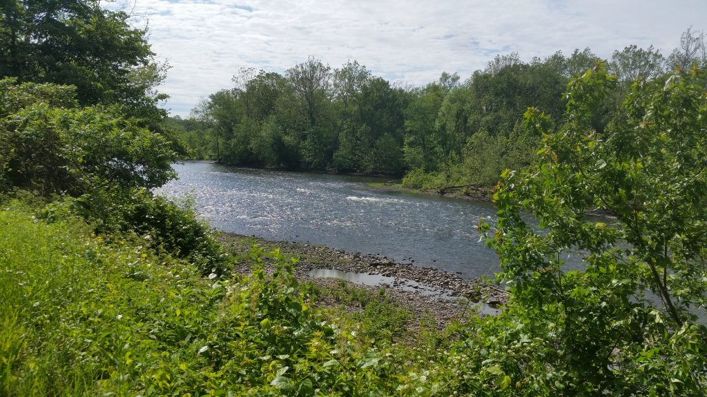
Upstream of the power plant. 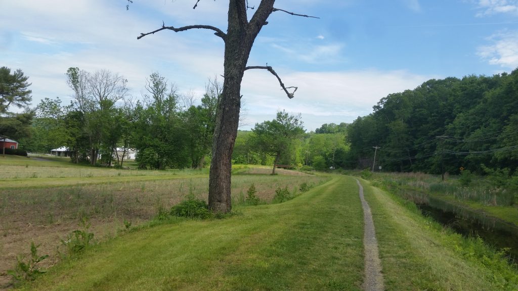
Turnaround Tree 
One of these trees was my old turnaround point.


Total distance, out and back, was about 24 miles, and the ride took about two and a half hours. I have the new access points and amenities incorporated into my map.

Very interesting?