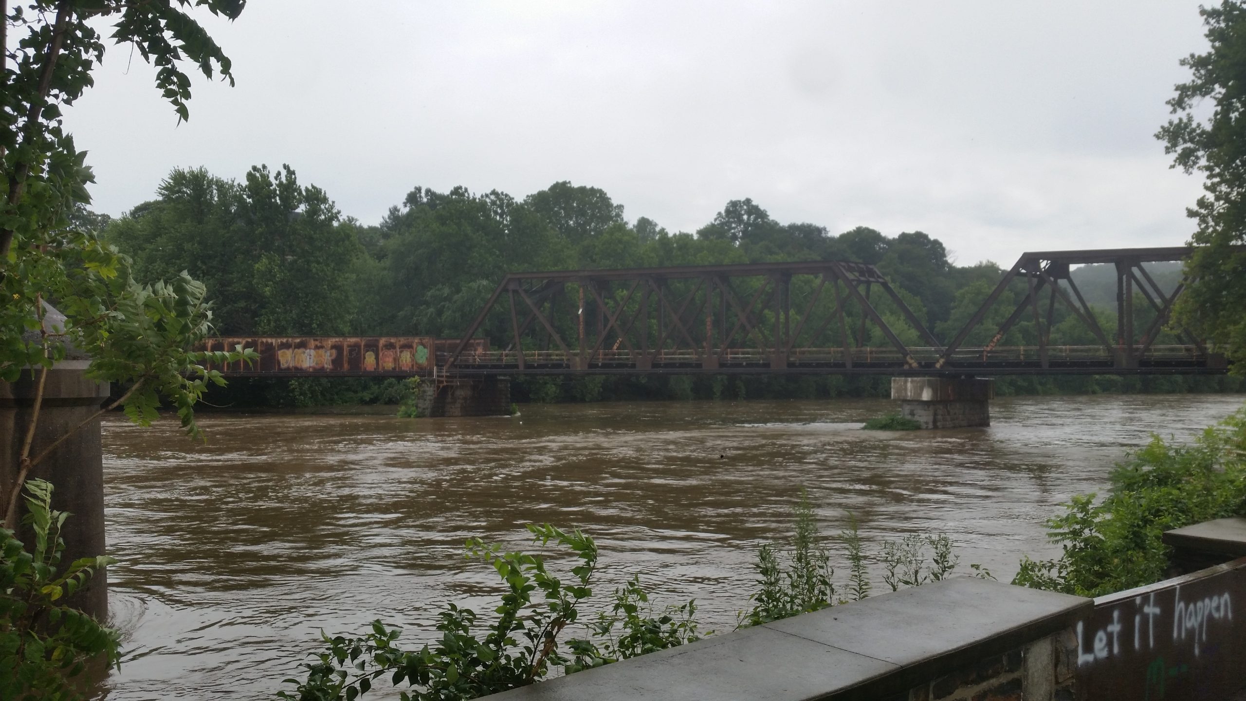
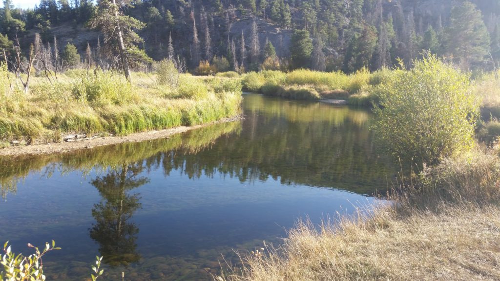
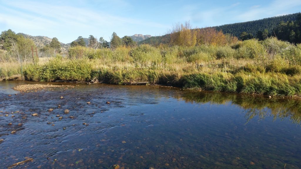
We went down to Sand Island, to look at the flooding we got after Wednesday’s heavy rain. This was the aftermath of Hurricane Ida, and though we got a lot of rain, maybe five inches or so, it was an all day affair — I’ve seen more shocking results from a heavy thunderstorm, at least in our neighborhood. The sheer volume though, of the rain that fell everywhere around here, made the situation with the rivers a very different story….
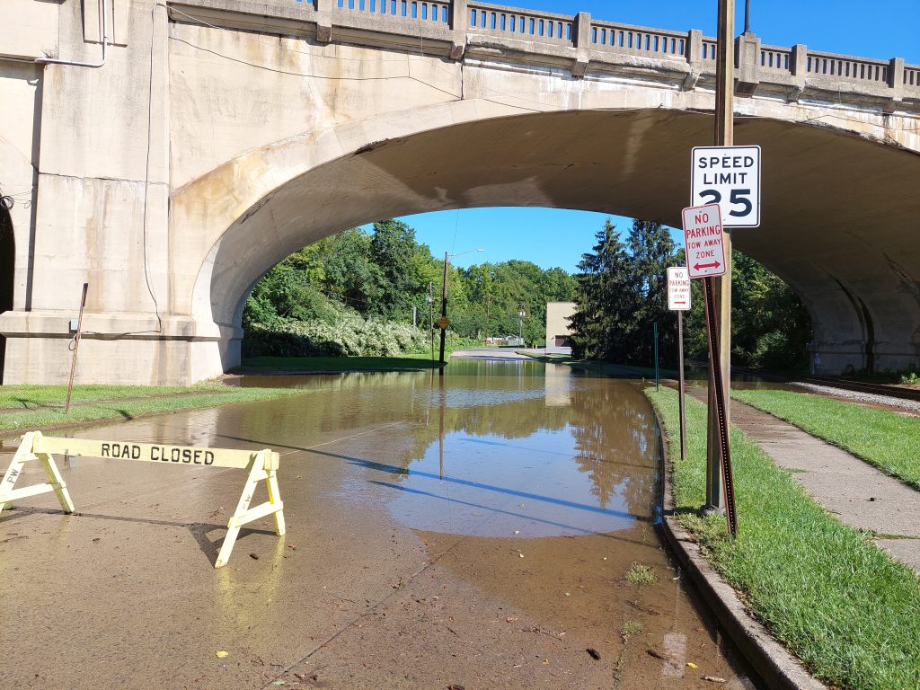
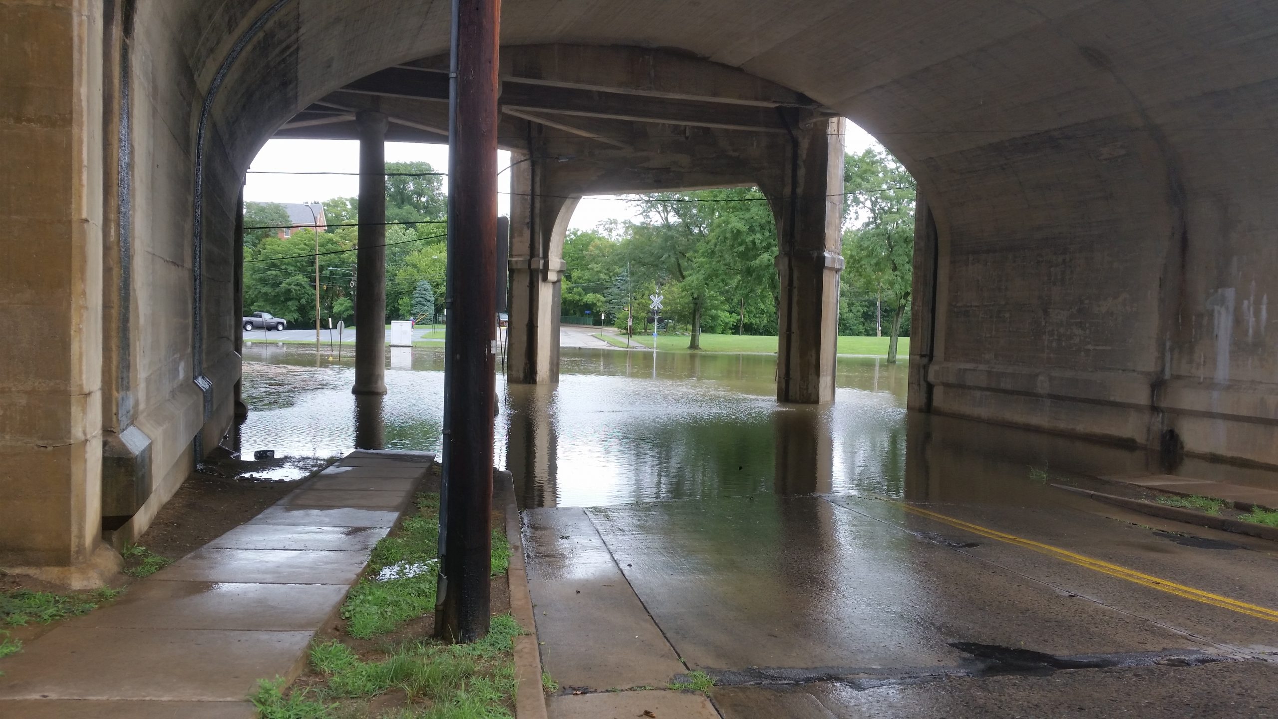
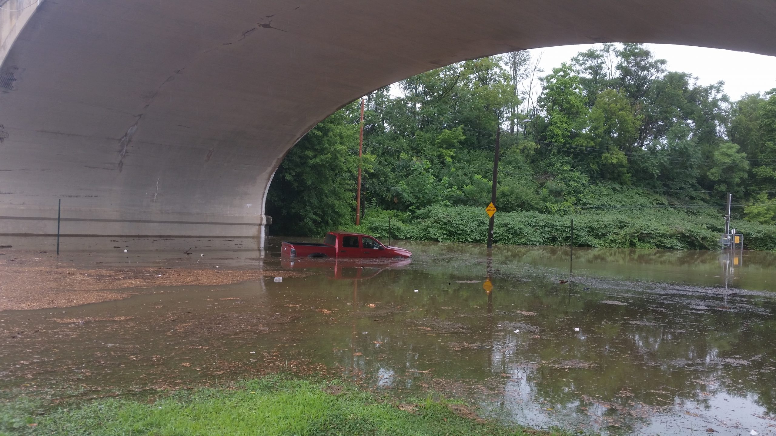
Conestoga under the 378 Exit Ramp 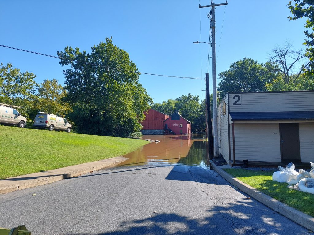
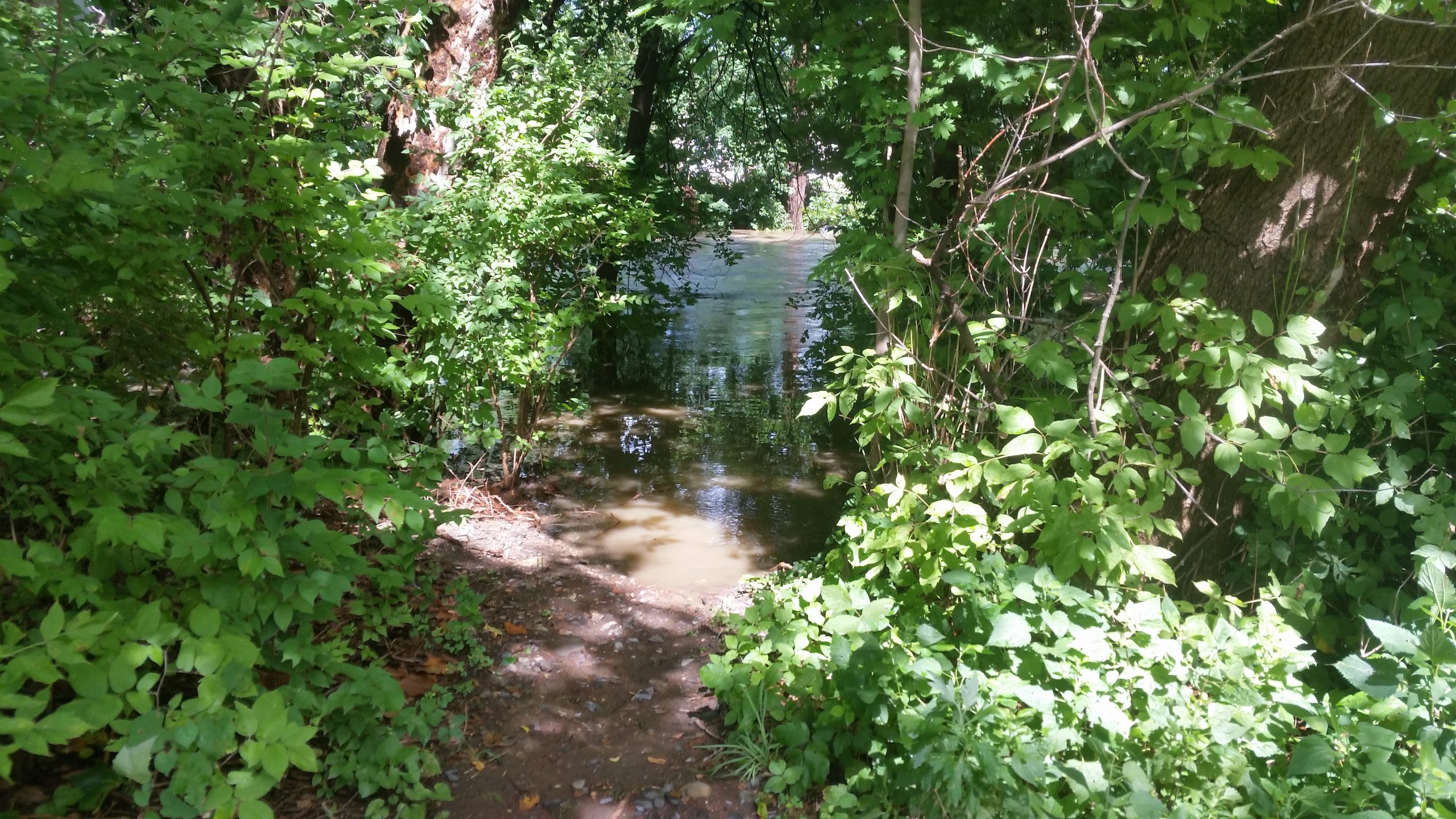
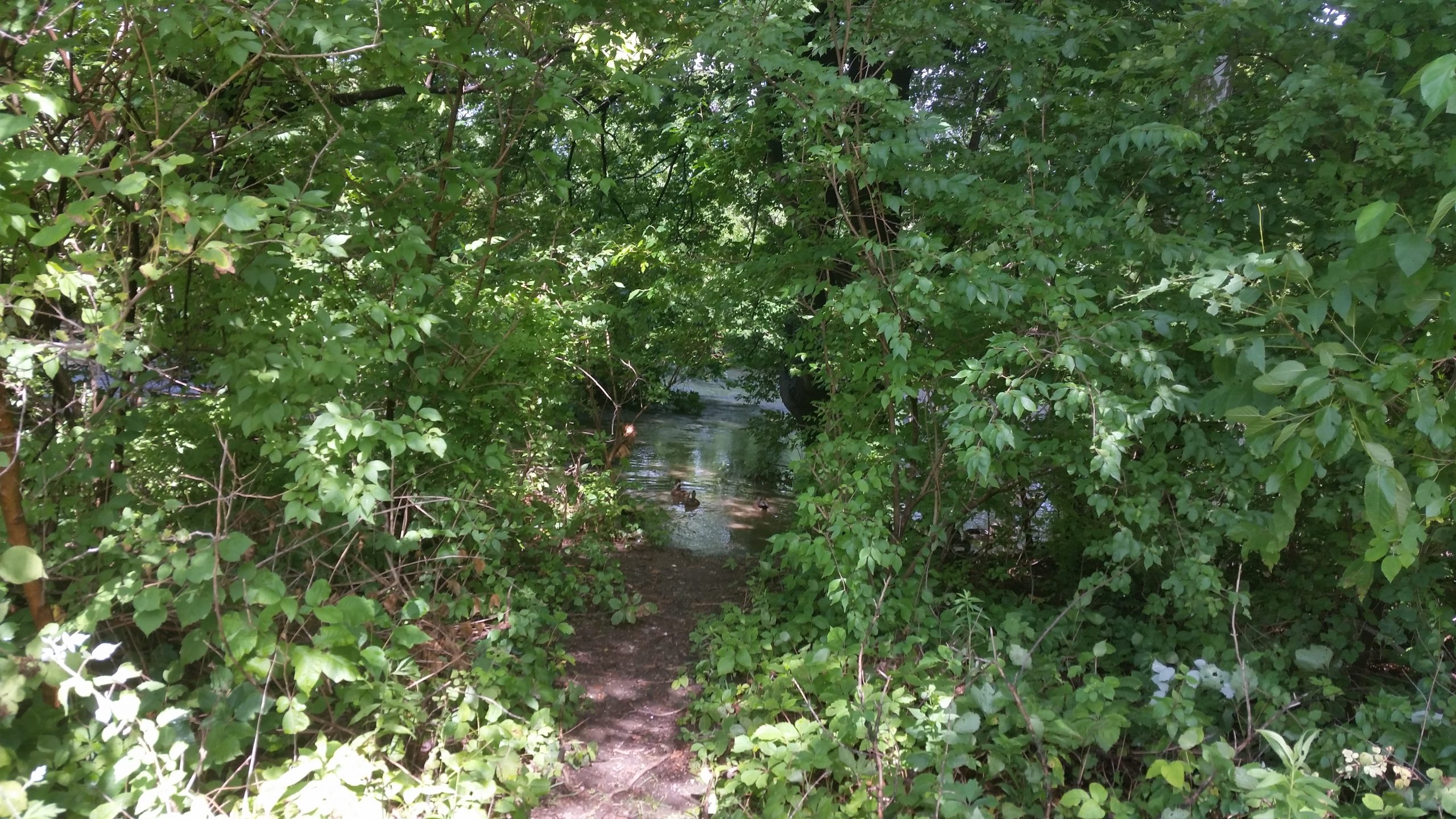
Sand Island 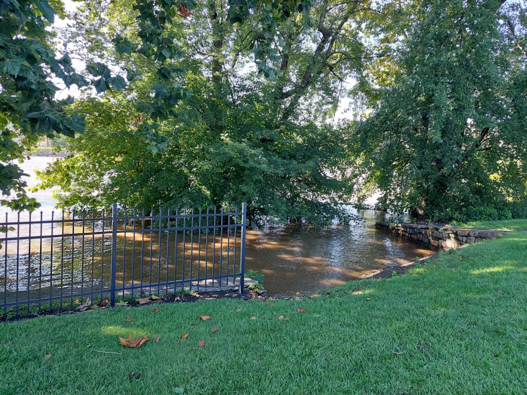
The Lehigh Climbs Its Banks 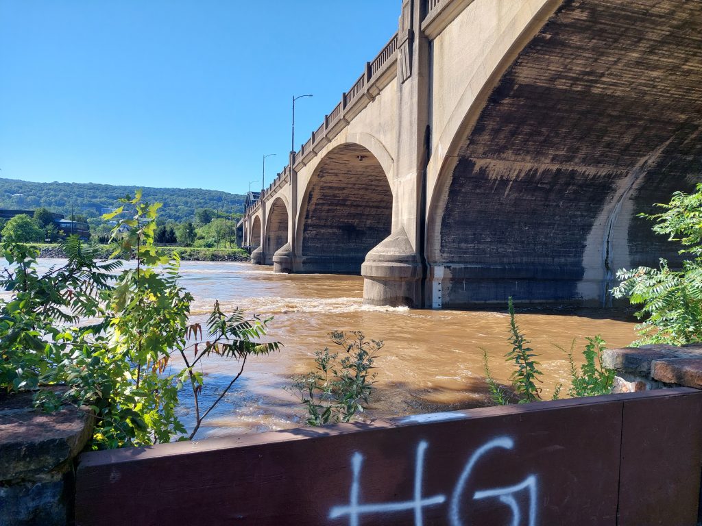
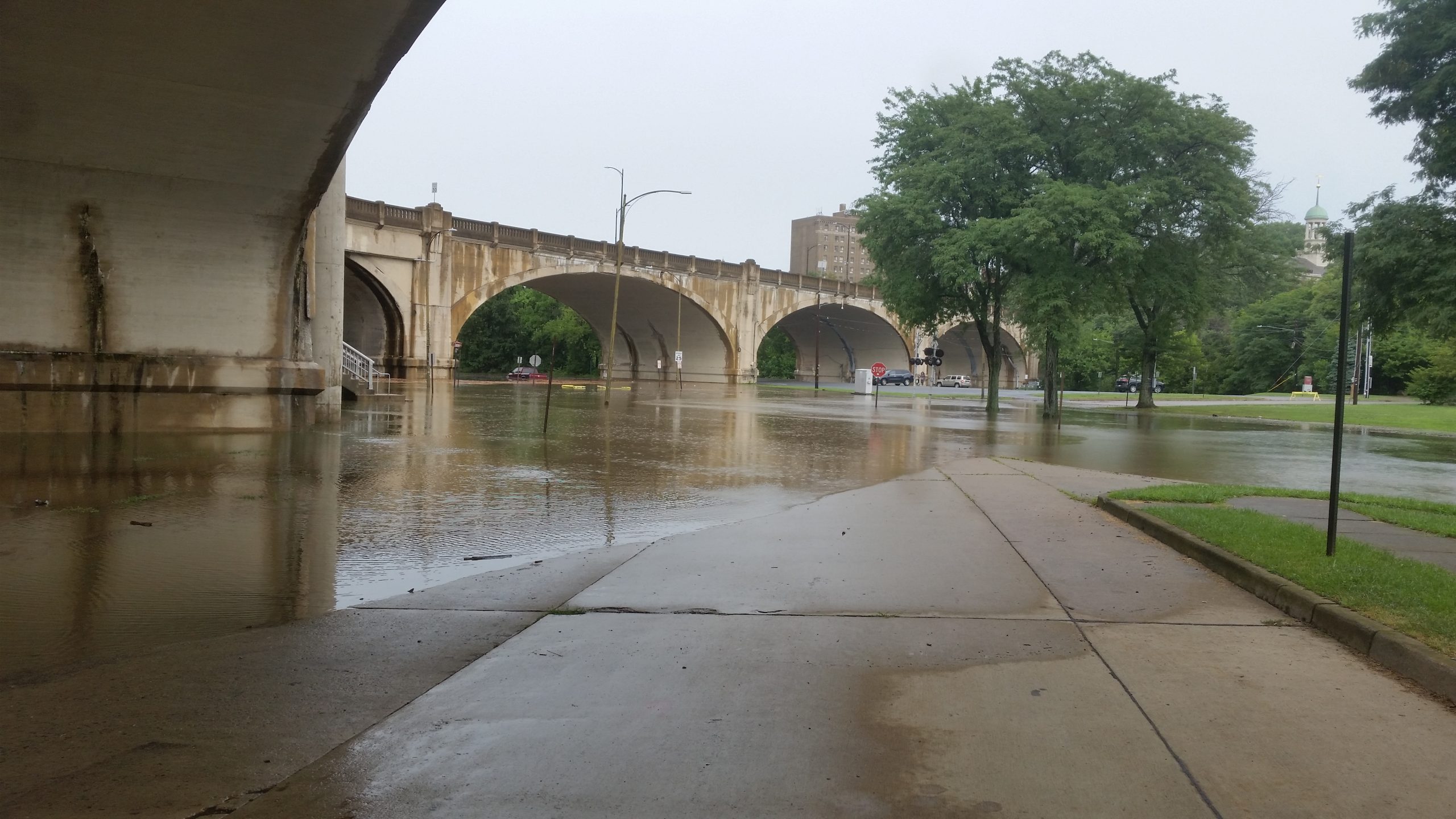
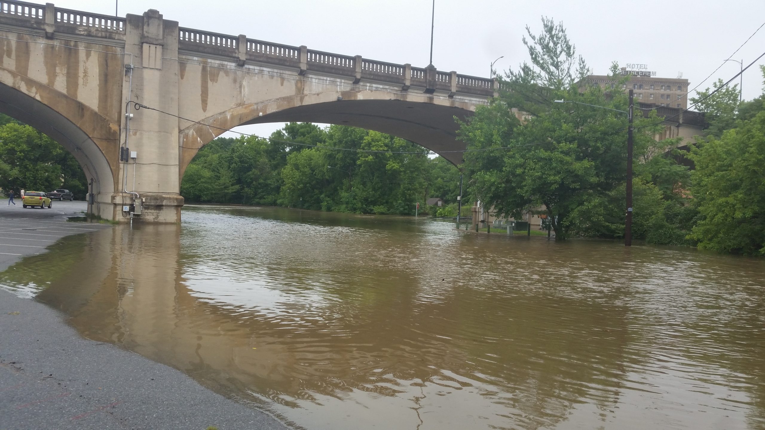
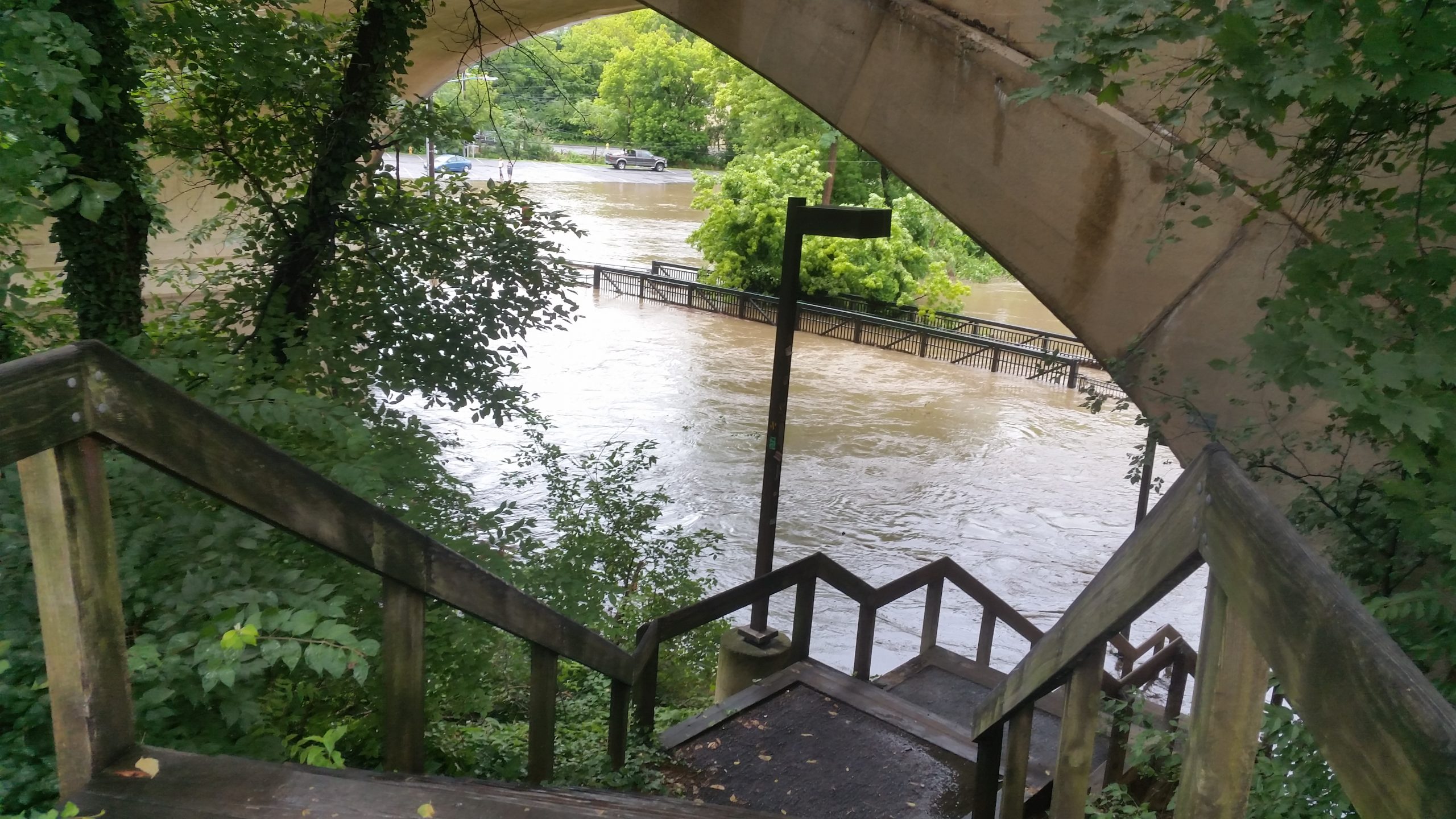
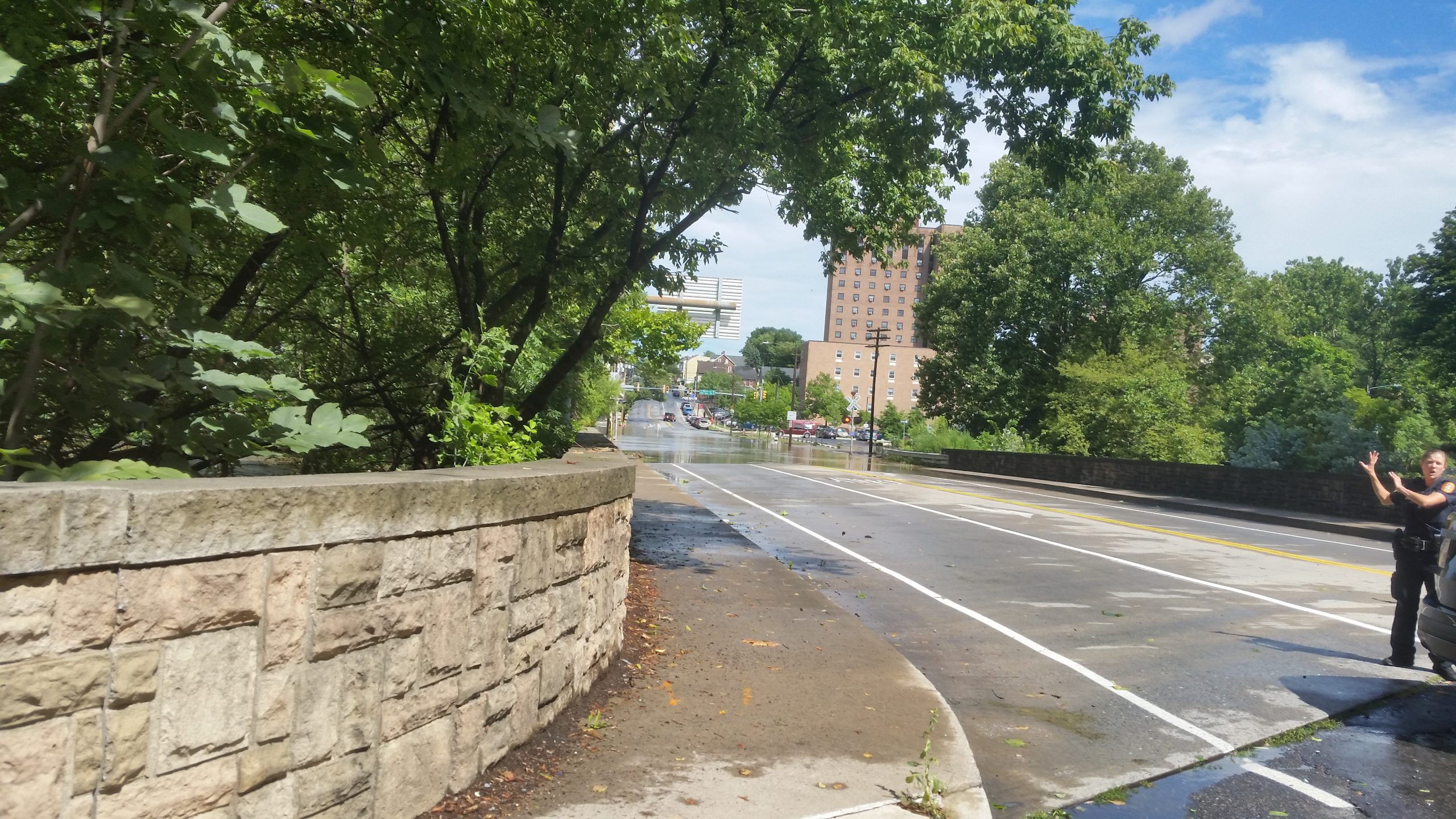
Hill To Hill Bridge 
Hill To Hill Bridge 
Hotel B 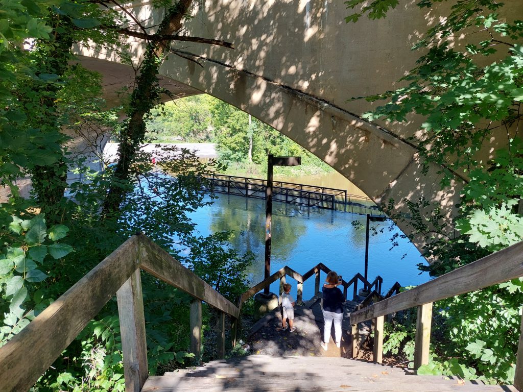
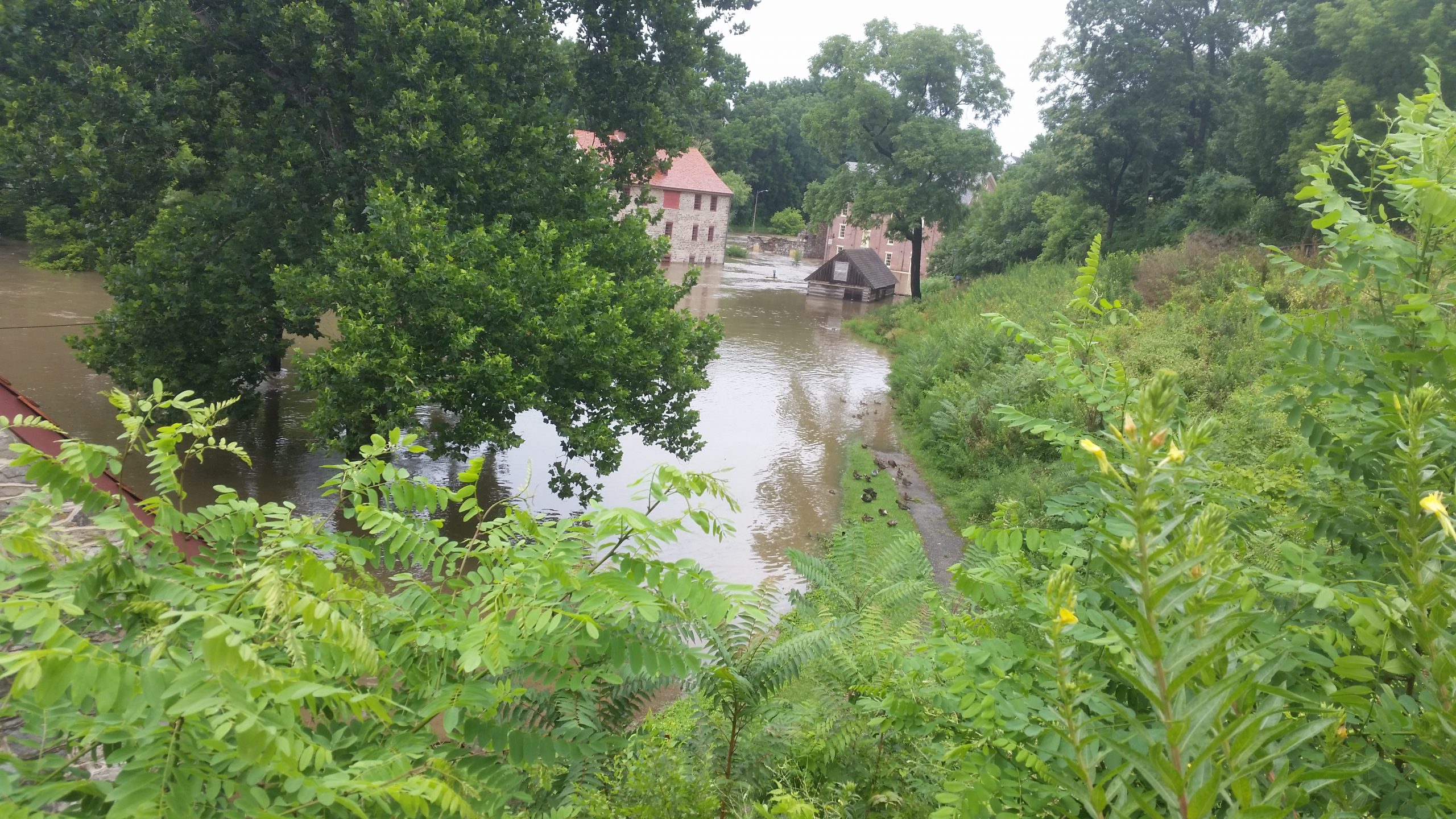
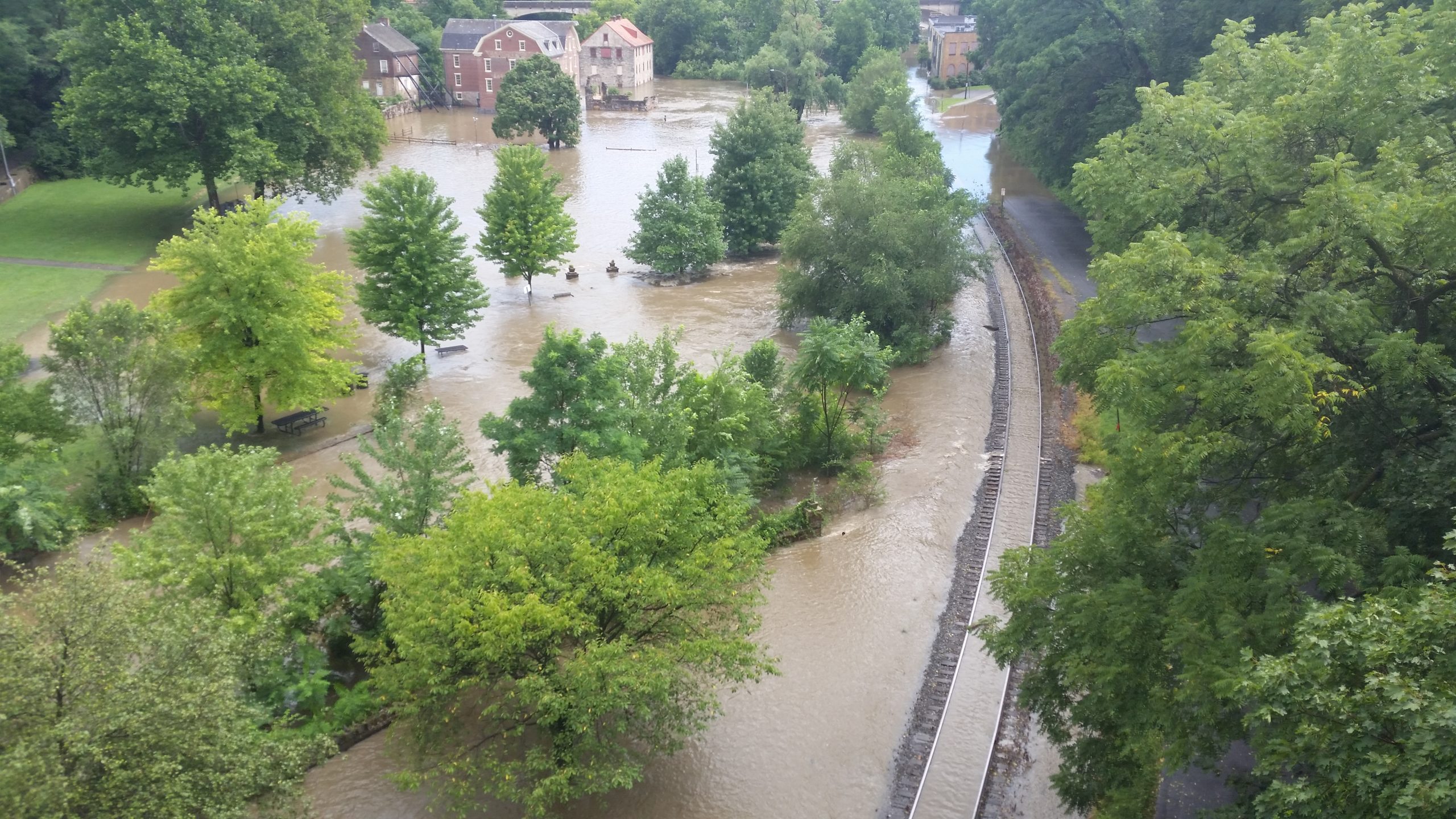
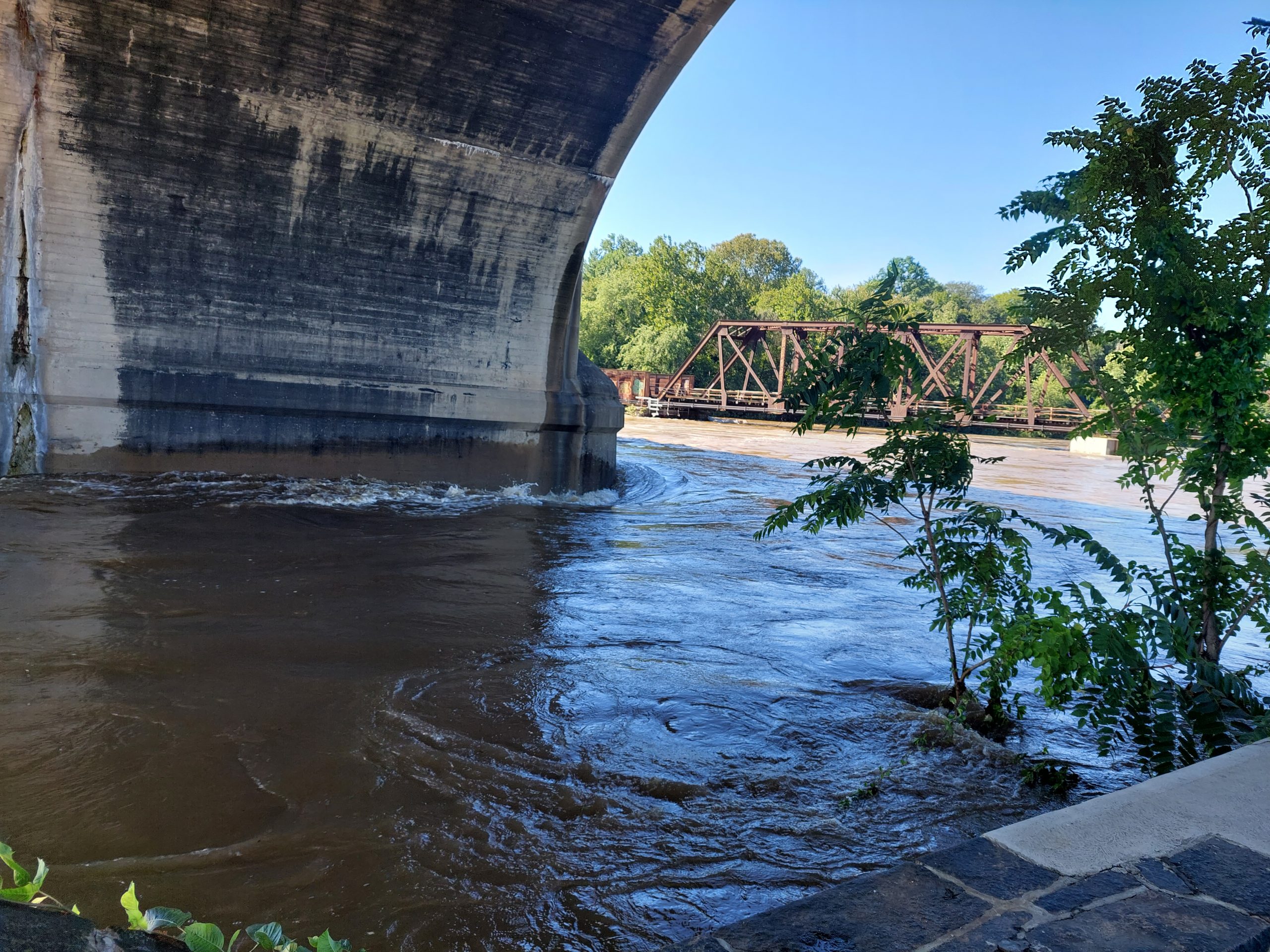
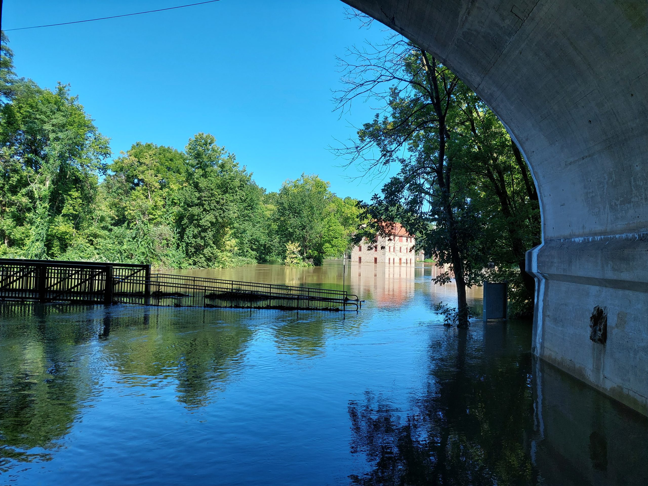
The Monocacy 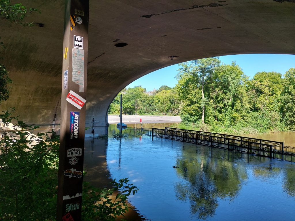
I Blame Bitcoin 
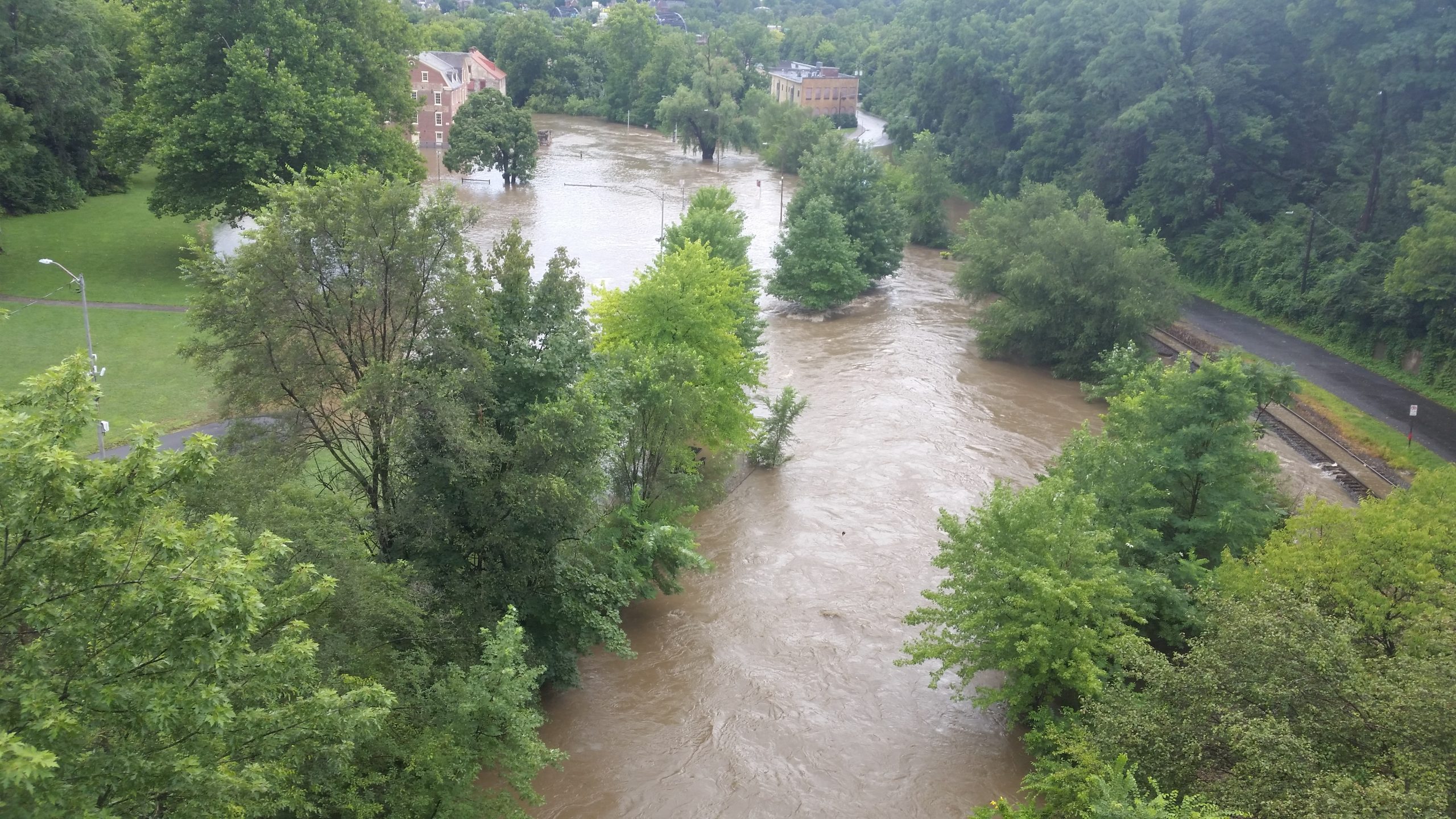
Monocacy Under And Over The Bridge 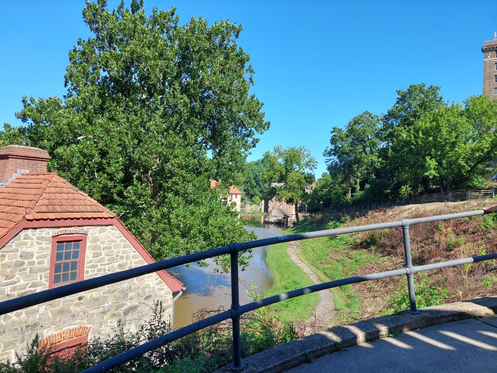
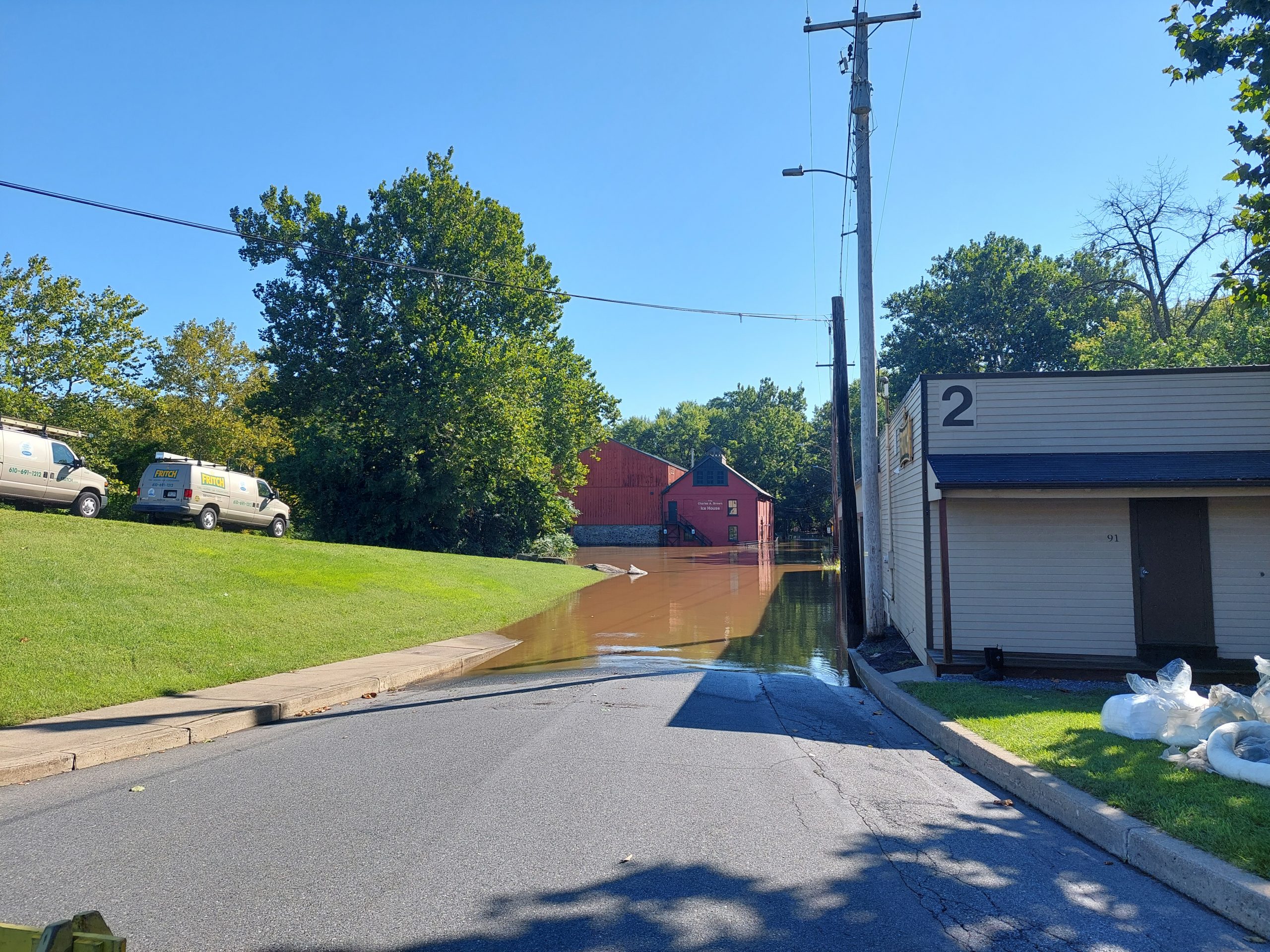
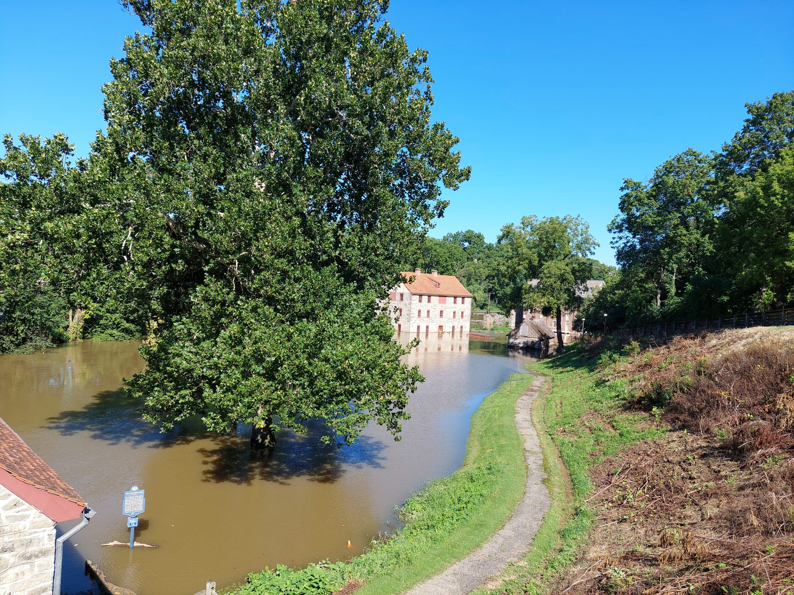
Colonial Industrial Quarters 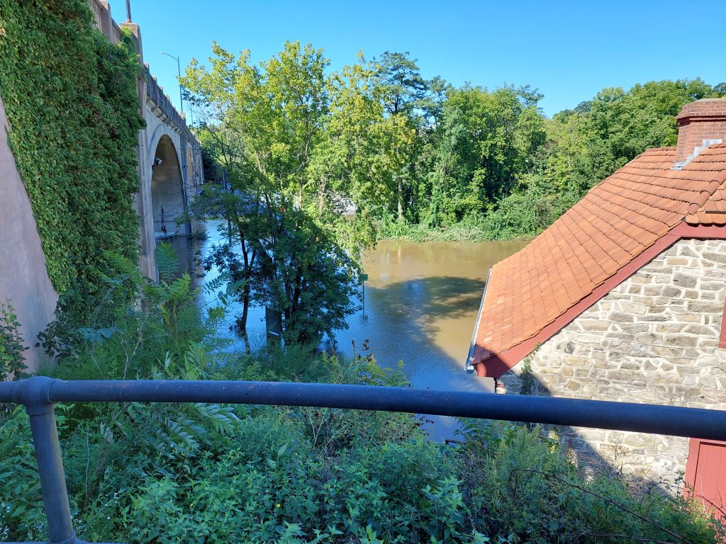
Industrial Quarters Under Water 
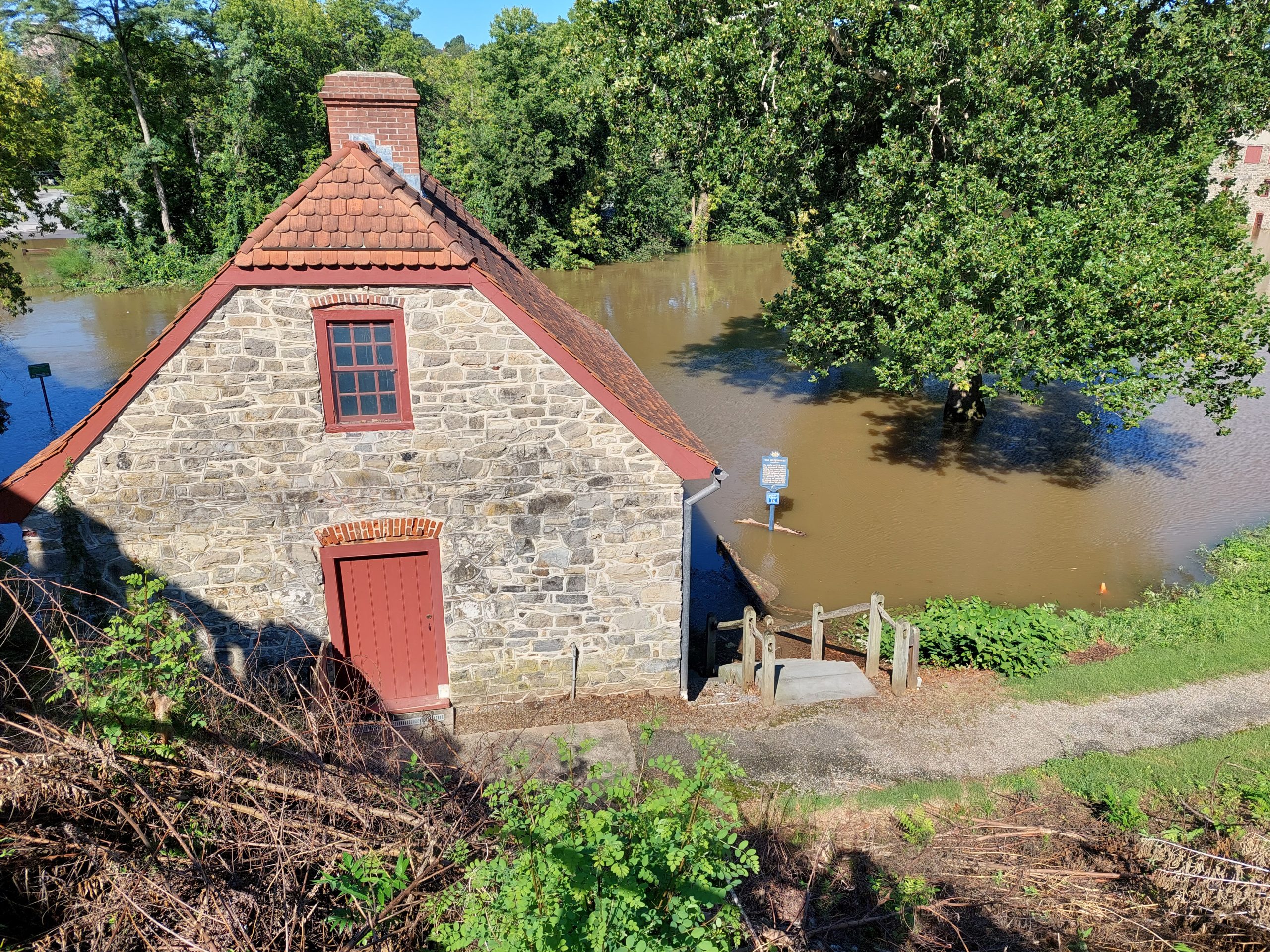
The Old Mill, Flooded 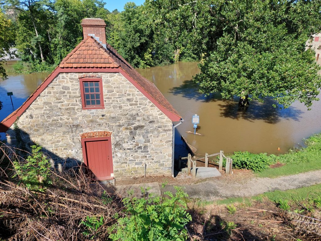
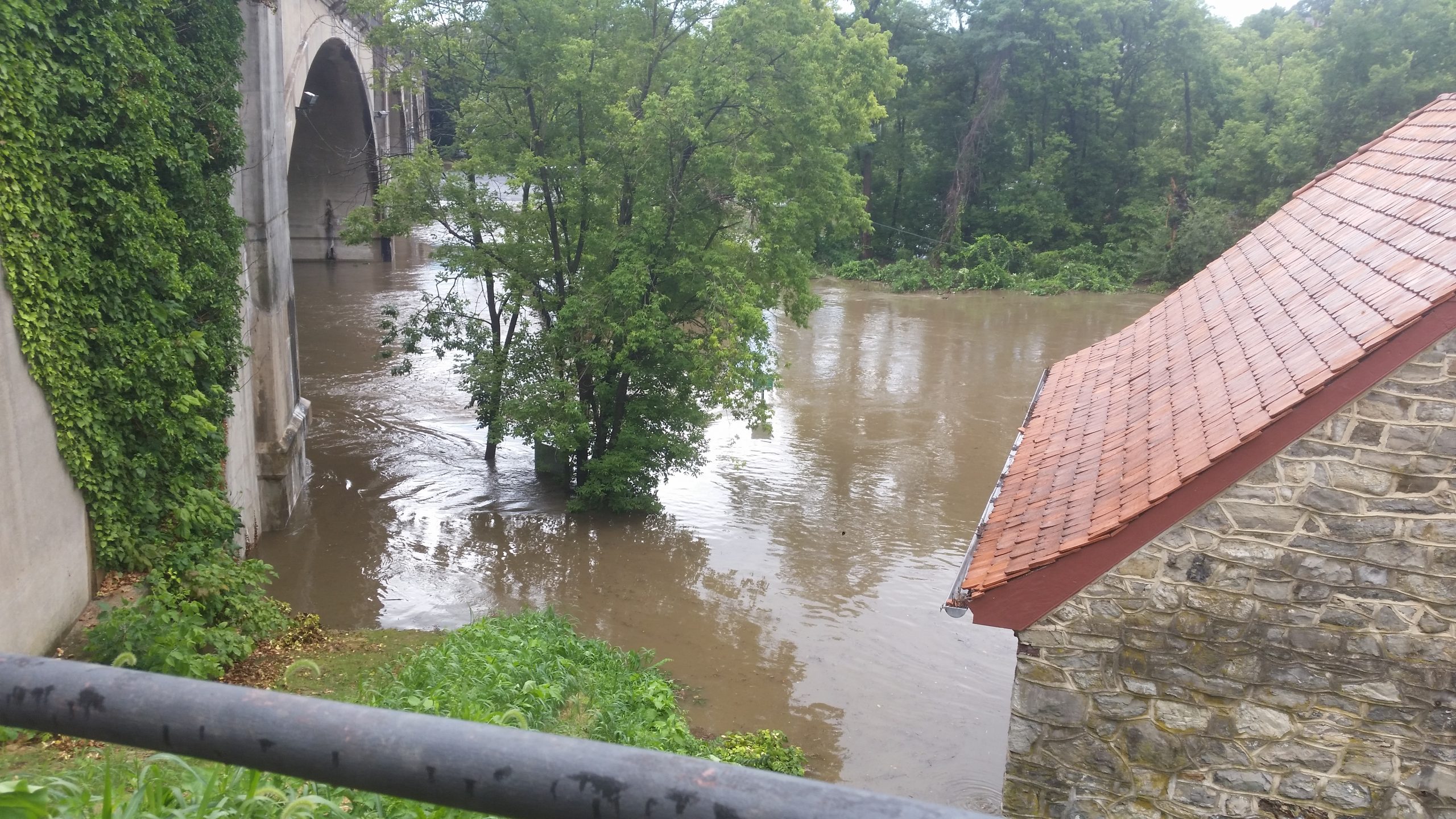
Water Works 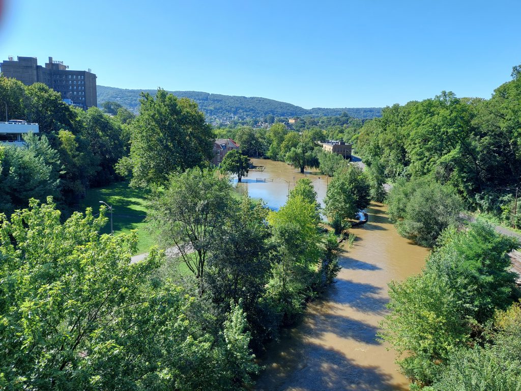
Monocacy In Flood 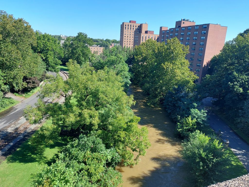
Monocacy Upstream From Broad Street 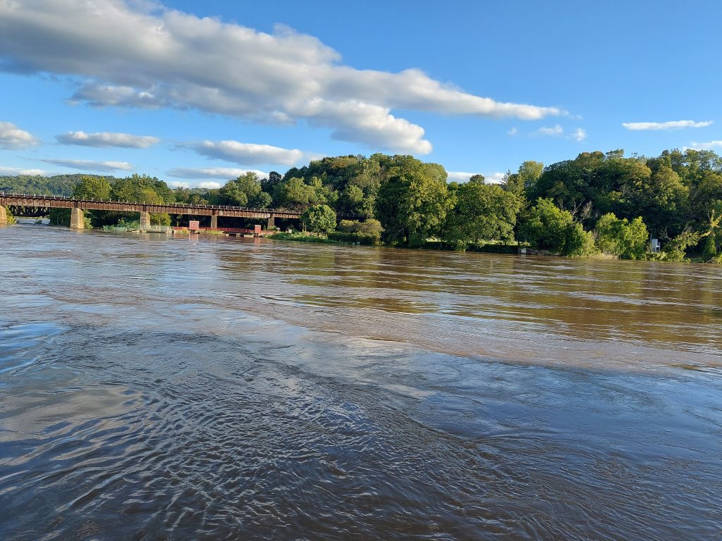
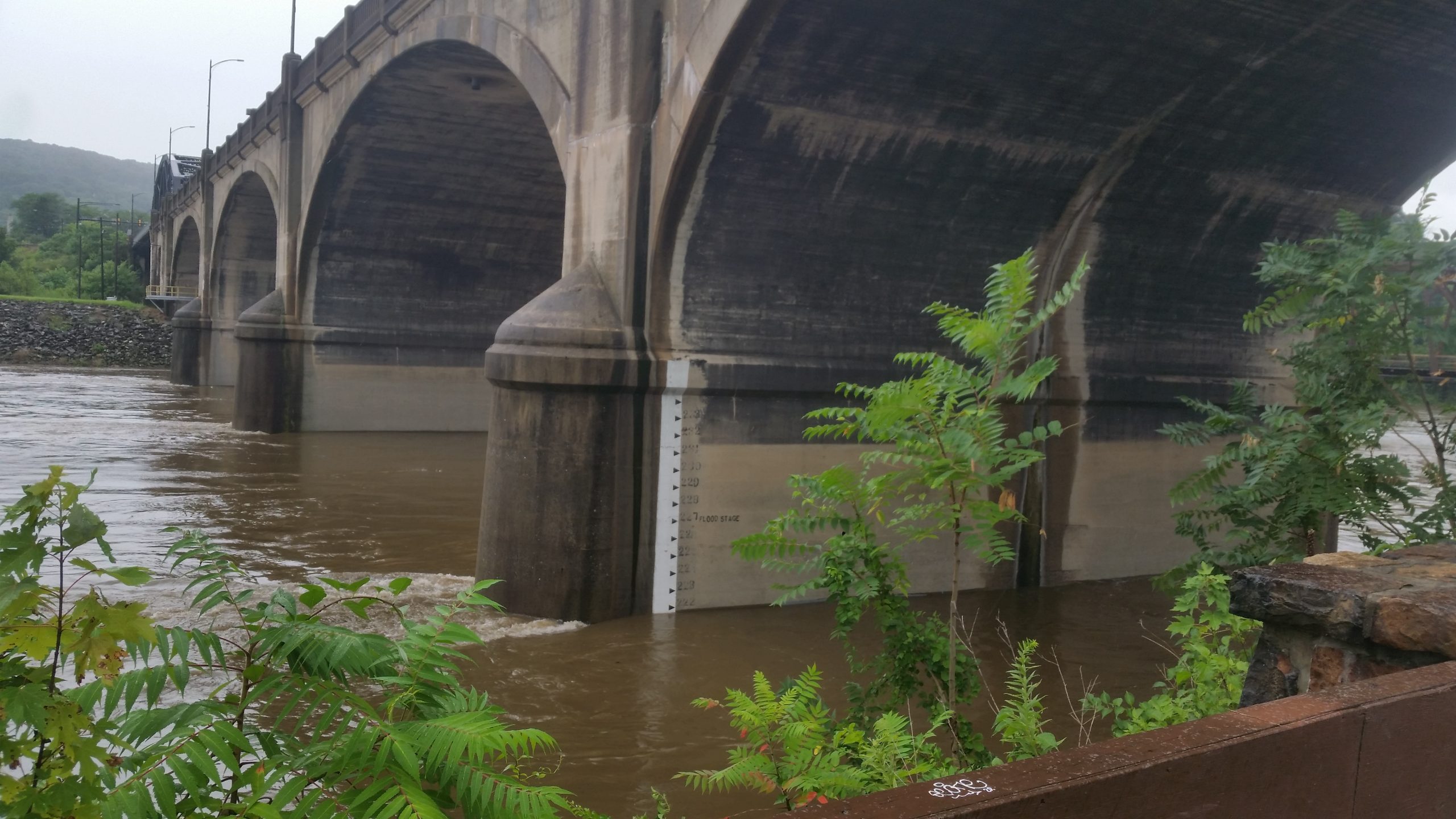
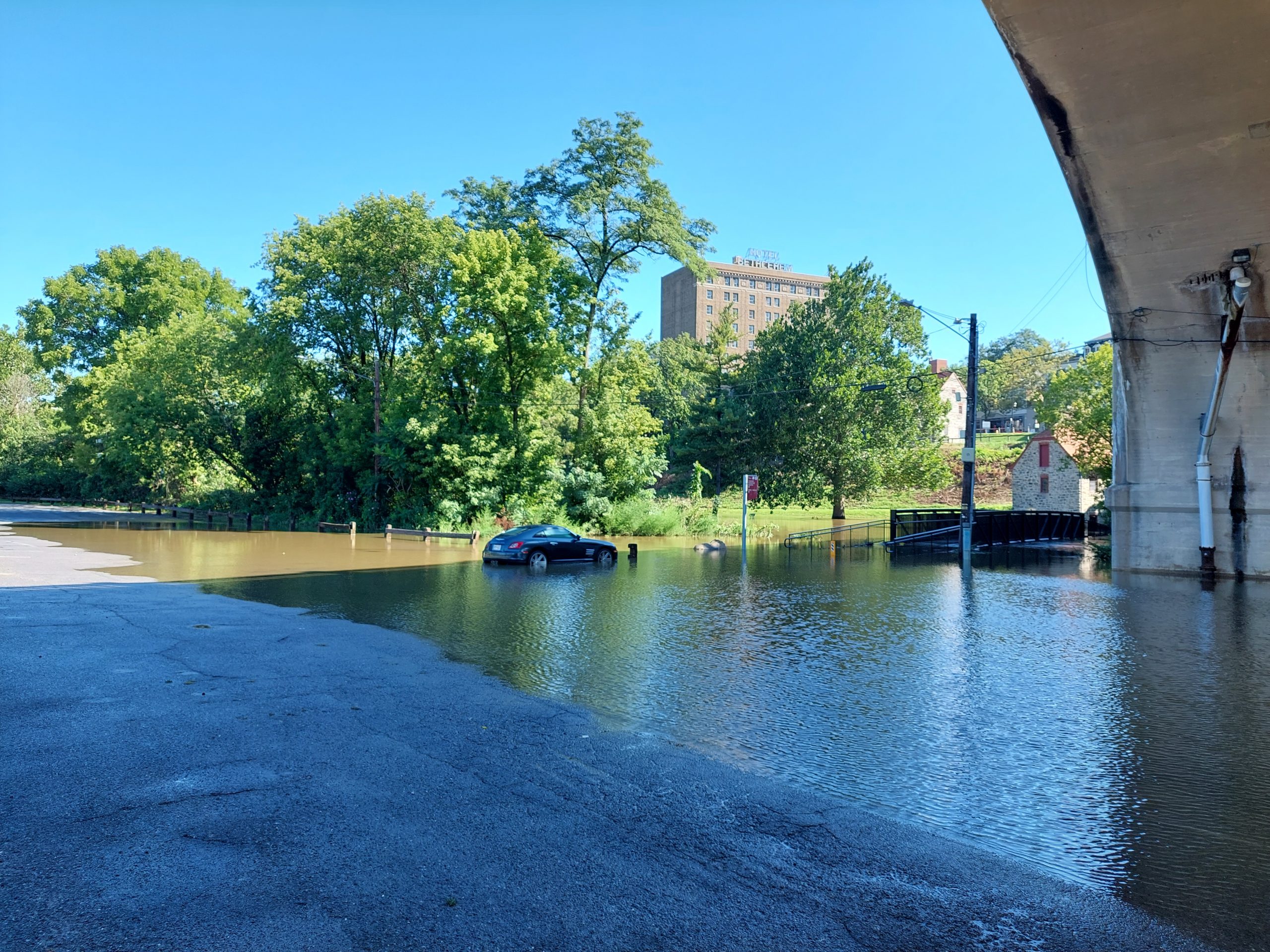
Forks Of The Delaware 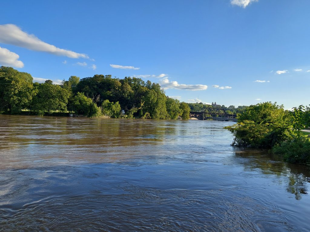
Forks Of The Delaware


The Lehigh, when we saw it at Sand Island, was running high; it was almost over its banks, and was running vigorously, almost angrily, and fast. The canal had overflowed onto the island and was pouring down into the river, but if the river were another foot or two higher that flow would have reversed. There was everywhere a sense of overwhelming power, unleashed and rushing past.
(The Monocacy Creek was also flooding, but I’ve seen it worse — it goes up fast and comes down fast.)
The last two photos are at the confluence of the Lehigh with the Delaware in Easton. Normally there is a 10 foot high waterfall at this spot, where the Lehigh goes over a dam, but yesterday it was invisible, except for a scary line of whirlpools that kept forming and disappearing.