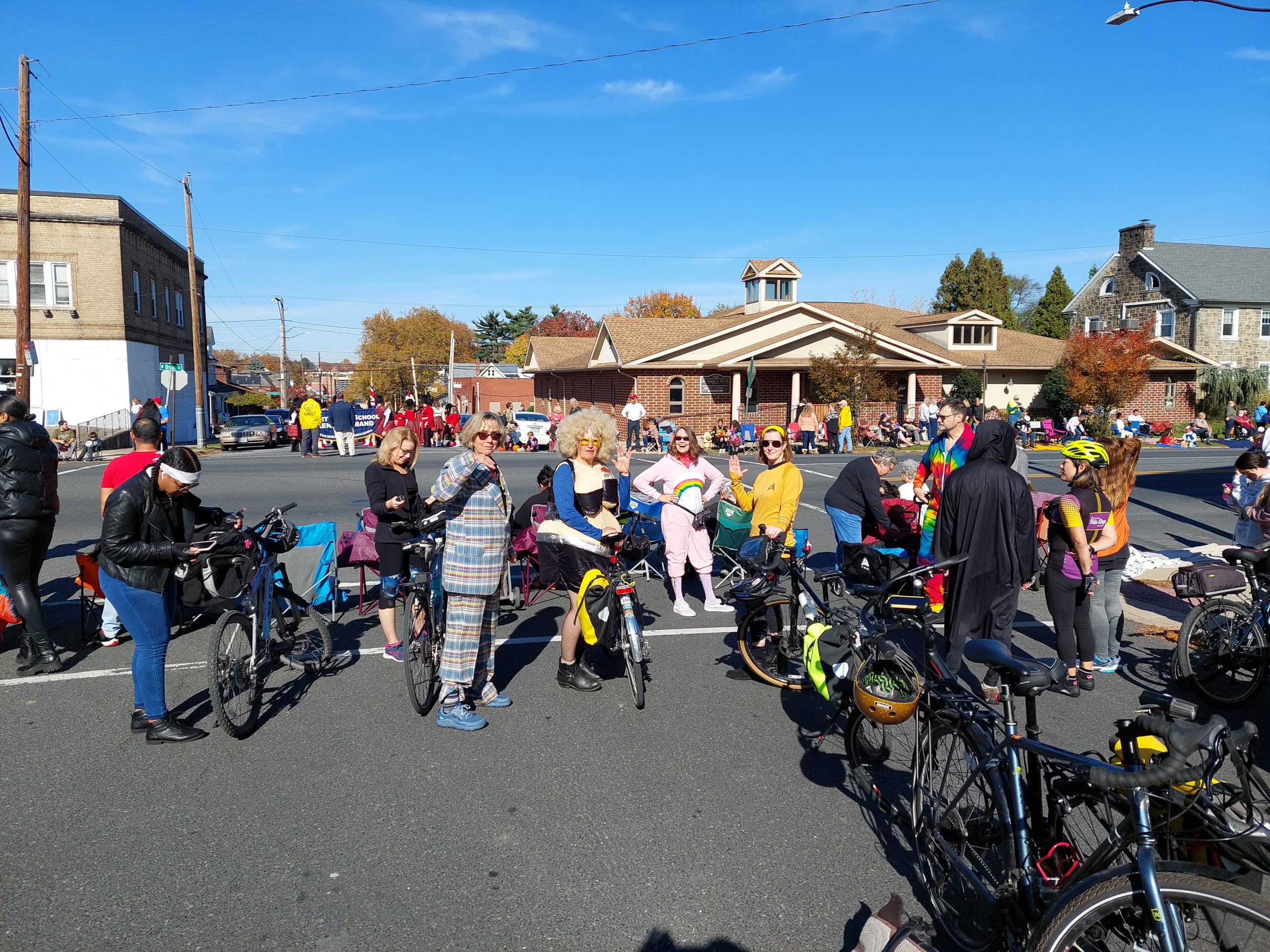
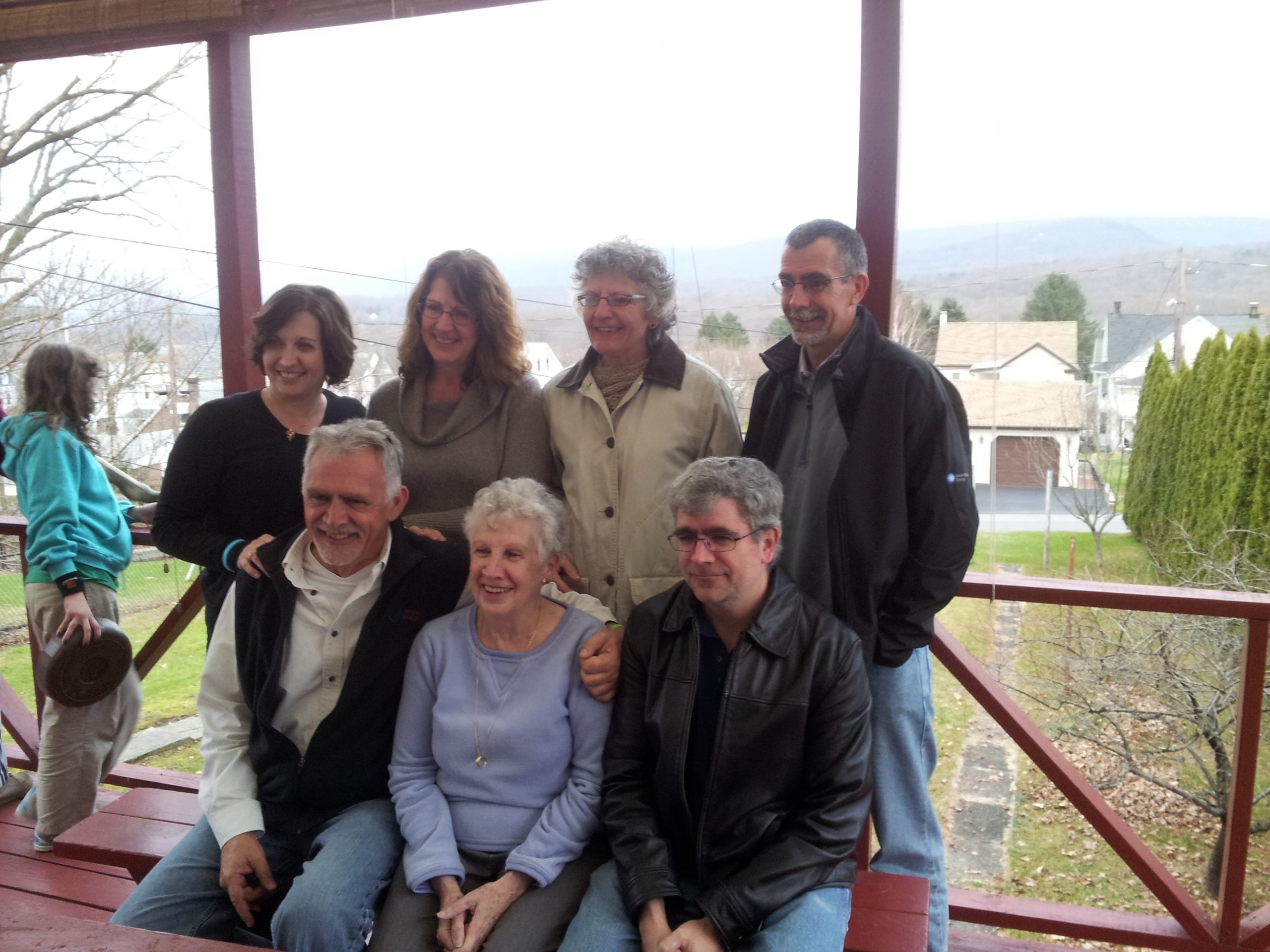
Our Halloween Ride started at CAT and, since there were no kids on the ride, we made a stop at Sherman Street Brewing (featuring the lobster roll food truck) before heading to Broad Street to watch the parade.
The CAT Crew
We ended the day by walking over to Bonn Place for dinner (which we got from El Jefe), with Jenn C and Donna & John. An awesome day!
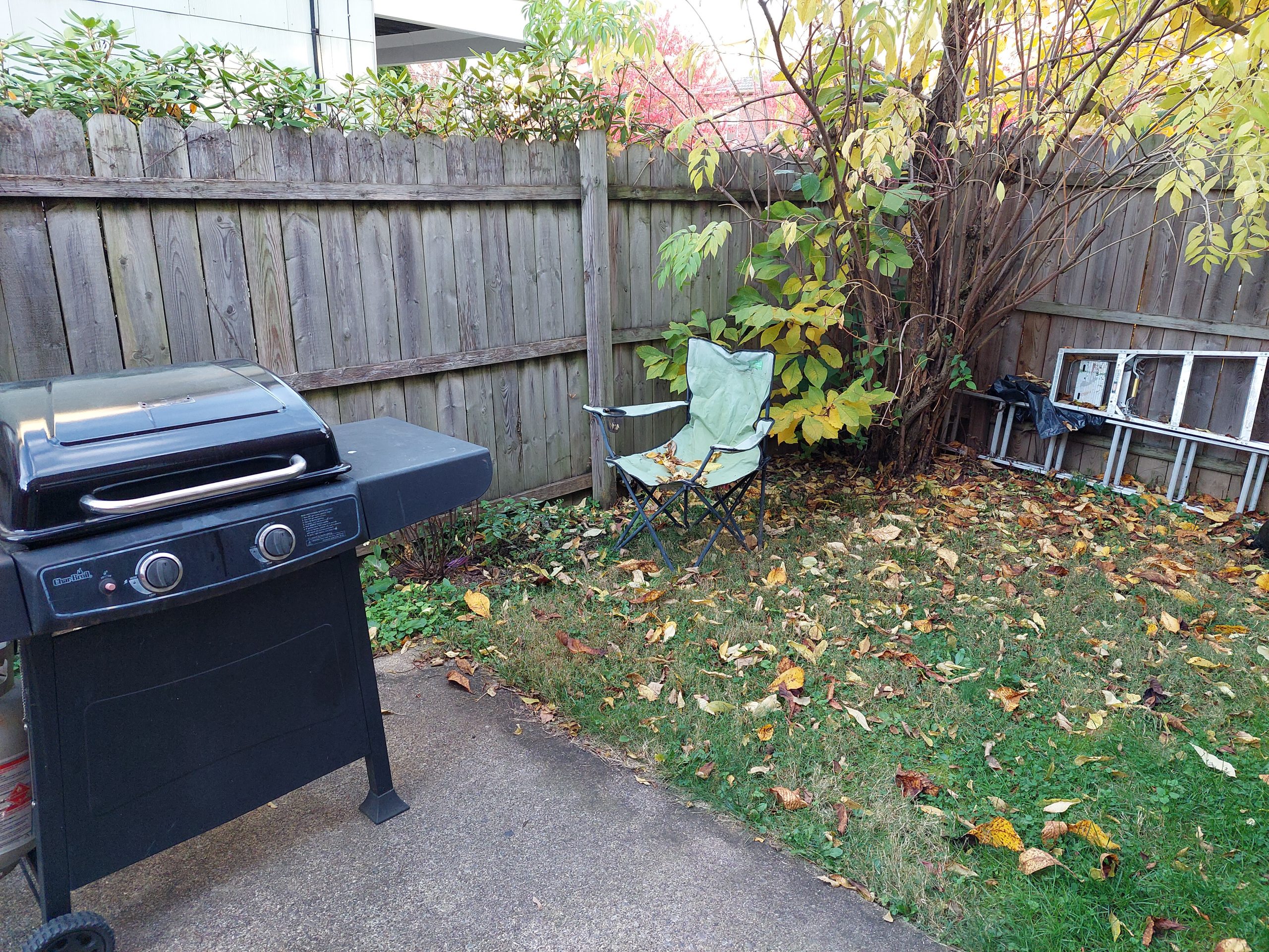
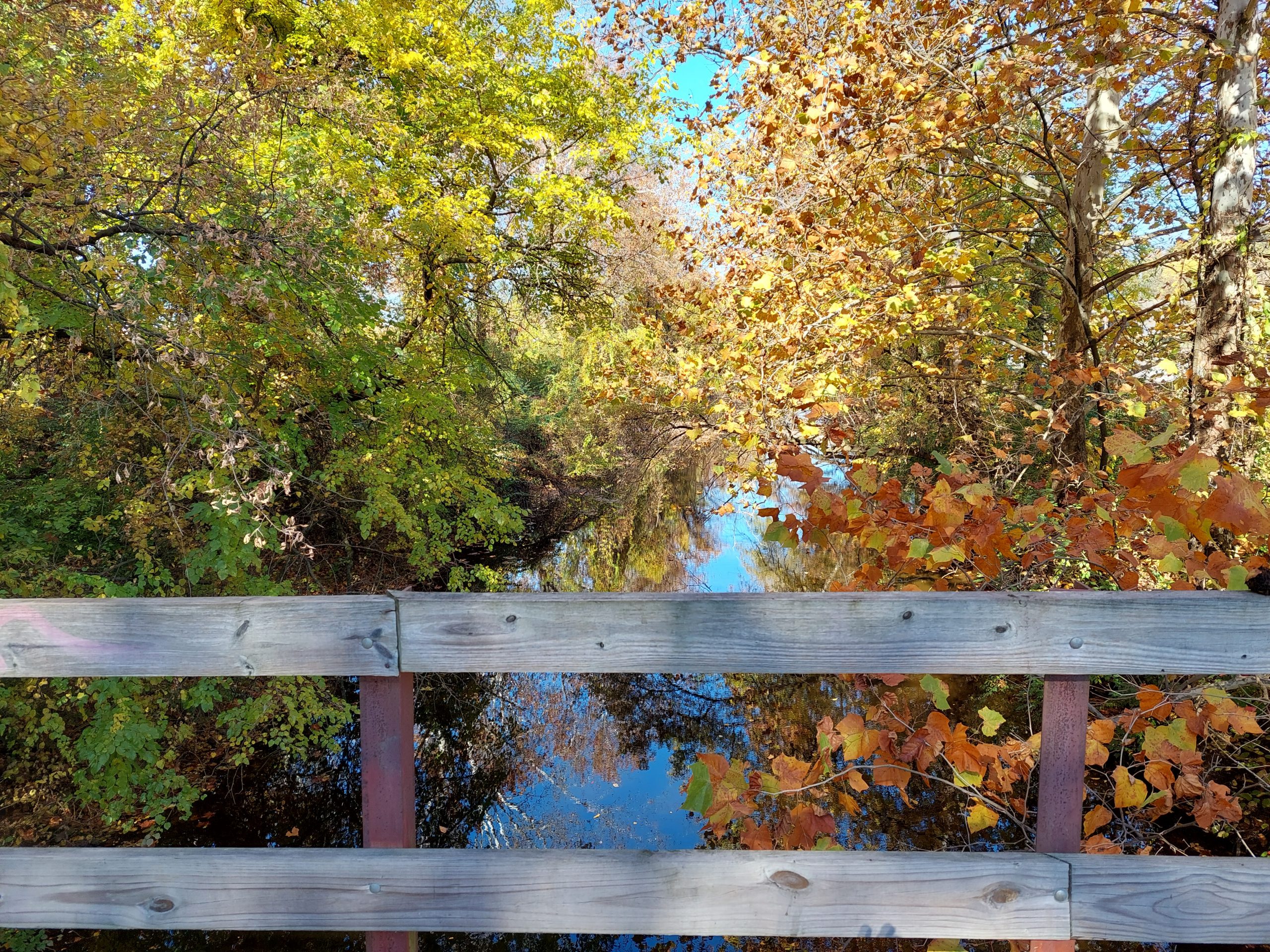
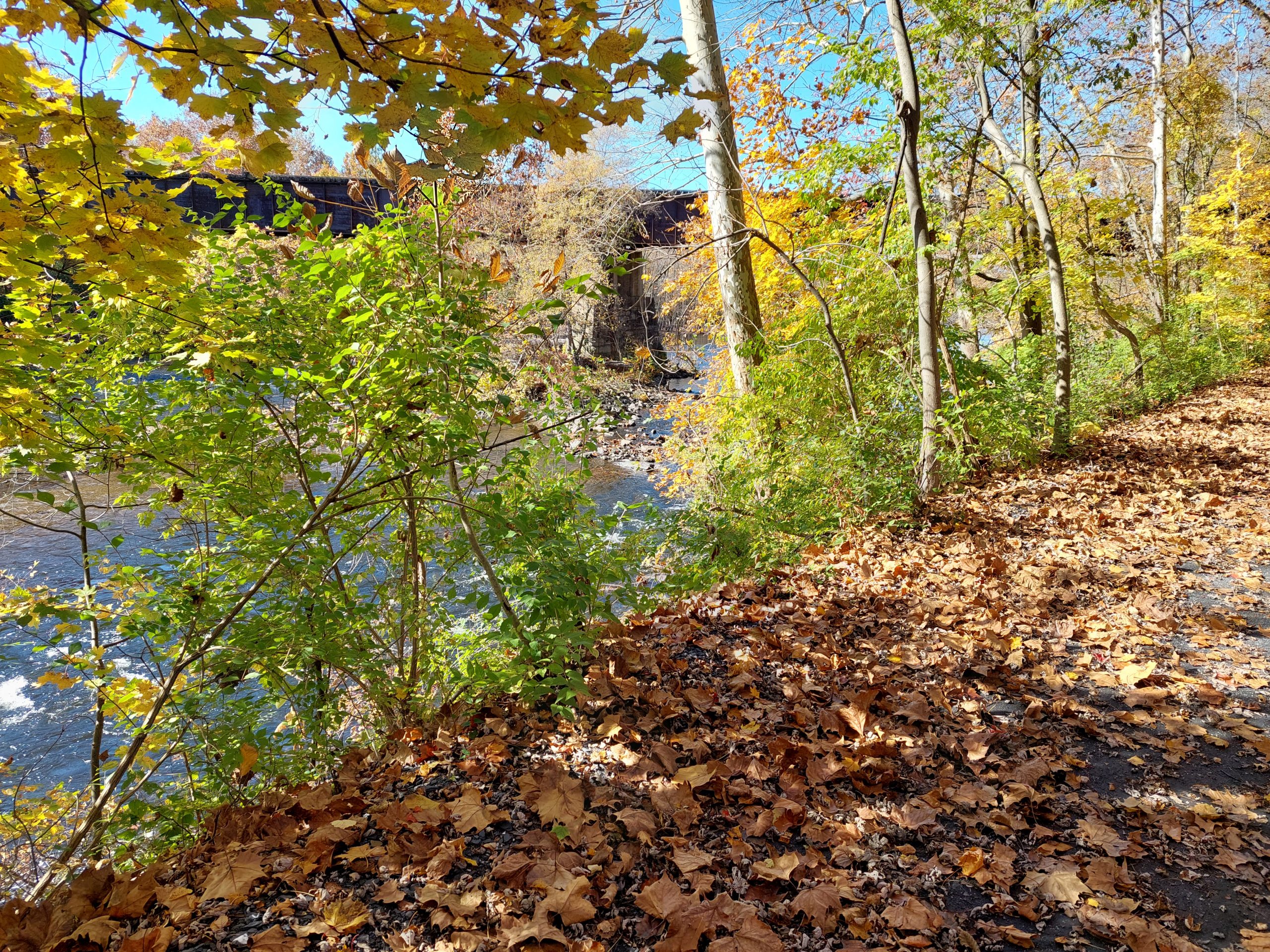
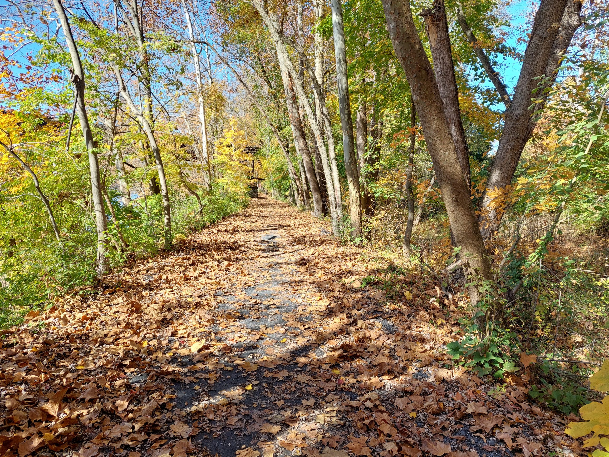
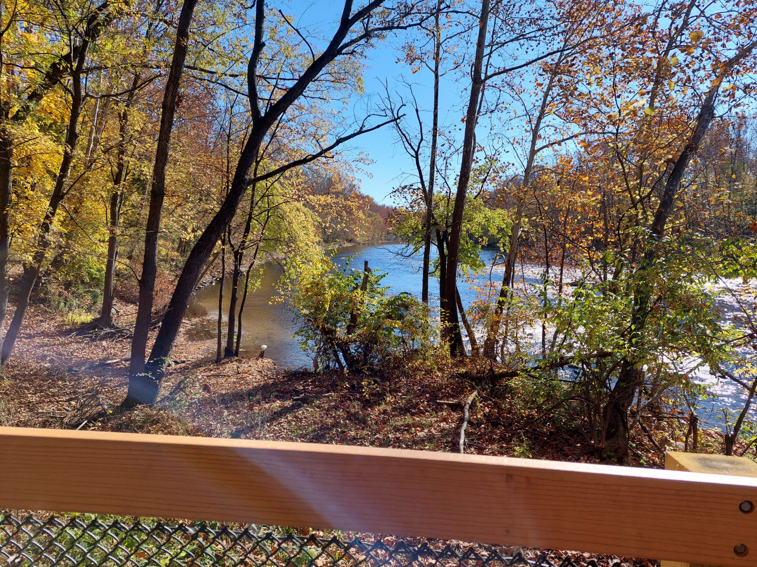
Nothing much to say here, I just thought I’d drop a few photos from the last day or so to show the fall colors. Last night our neighbors had a “roasted root” party, cooking potatoes, parsnips etc in their backyard fire pit, and today is the Halloween Parade; we’ll be doing a bike ride in costume beforehand. Fall is definitely here…
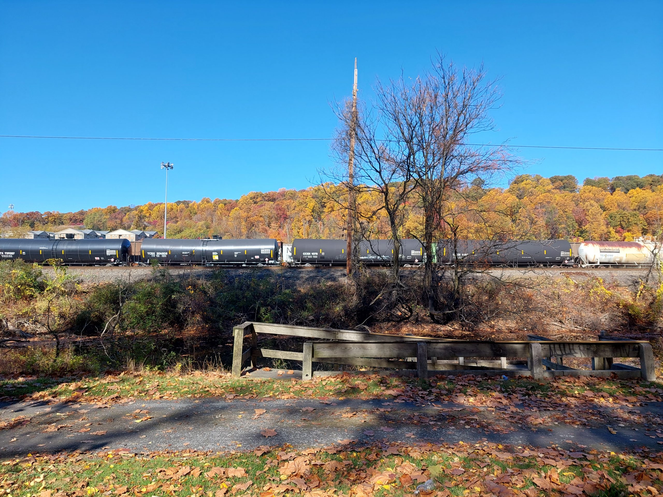
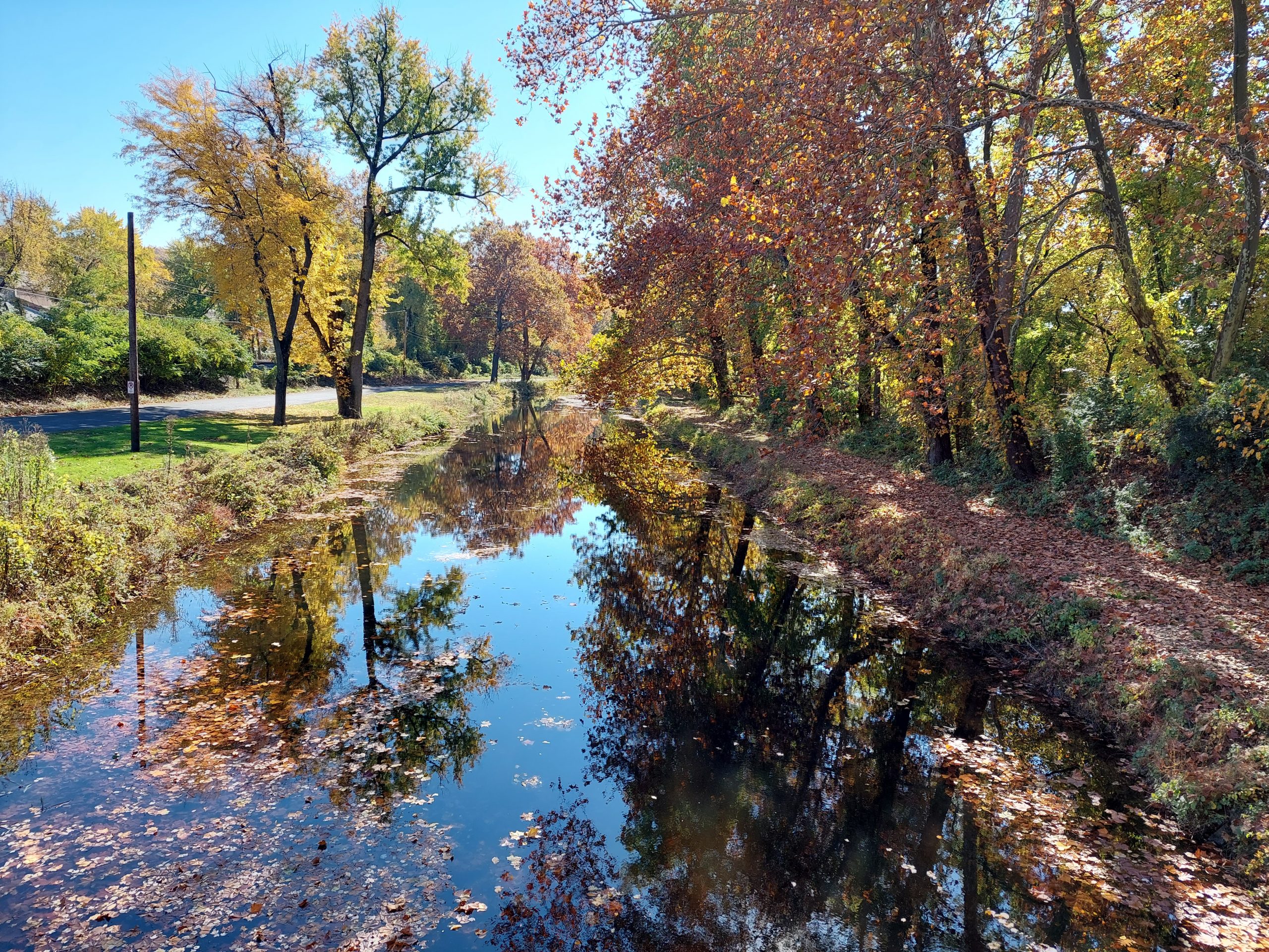
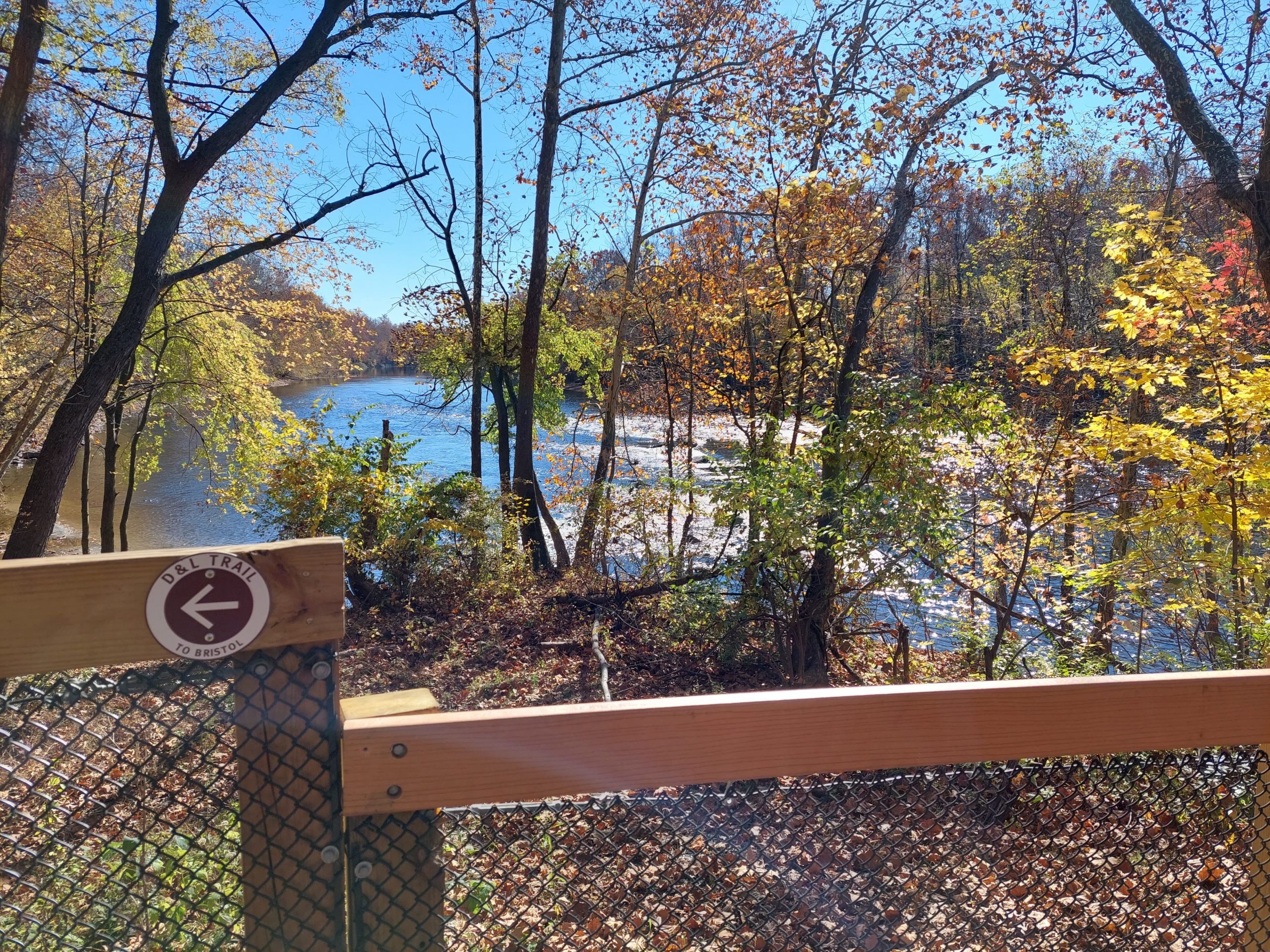
In The BackyardNorfolk SouthernAutumn Still WatersLehigh Canal And LeavesLehigh River Near NorthamptonThe D&L Near NorthamptonLehigh River SceneOn The D&L Near Northampton
I’ve been experimenting with raster data lately, photographing trail maps from Indian Paths of Pennsylvania and then digitizing them for use as map overlays in my project (I rough in the paths by tracing over them on the maps). This has worked really well, at least for when there is a path on the map — alternate paths are sometimes missing — but it came with a few problems:
The digitized maps (georeferenced to match my map and converted to GeoTIFF format) look great, but the first one I did weighed in at a whopping 27MB. Since I expect to generate at least a hundred of these, that’s a significant amount of disk space.
The maps start out as color photographs, and once they are in map form there is a lot of extraneous stuff that overlays (and blocks) the basemap beneath it.
So, I came up with a workflow that brings in my map images while avoiding these problems:
I start by taking a photo (with my phone) of the map in question, trying to get “nothing but map” in the shot.
Using GIMP, I rotate and crop as necessary, then clean up the photo by making off-white sections white, despeckling, and increasing brightness/contrast. I then invert the colors, making it a B&W negative before saving.
In QGIS I georeference the modified photo, using river confluences and other geographic features as my reference points. (I try for six or more “ground control” points to reference, and use the 2nd-order polynomial transformation to account for bent pages in the photo, though if the resulting transformation doesn’t look good I’ll try other options.)
Finally I convert the resulting TIFF from RGB format (colors) to PCT (a sort of numeric) format, and save at half the original resolution.
I can load the resulting raster as an overlay, and the raster pixels should be one of only two values (zero and one). I make the zero values transparent and the one values black, and now I have a very usable map overlay. The final GeoTIFF files average about 100KB each.
This makes tracing the paths very easy, maybe too easy: I feel a temptation to take the paths as gospel, even though I have no real idea of either the original map accuracy or the accuracy of the georeferenced overlay. Then again, it is the information as given in the book, and that’s what I set out to capture. Anyway, it’s a good first step. I’ve done about a dozen so far.
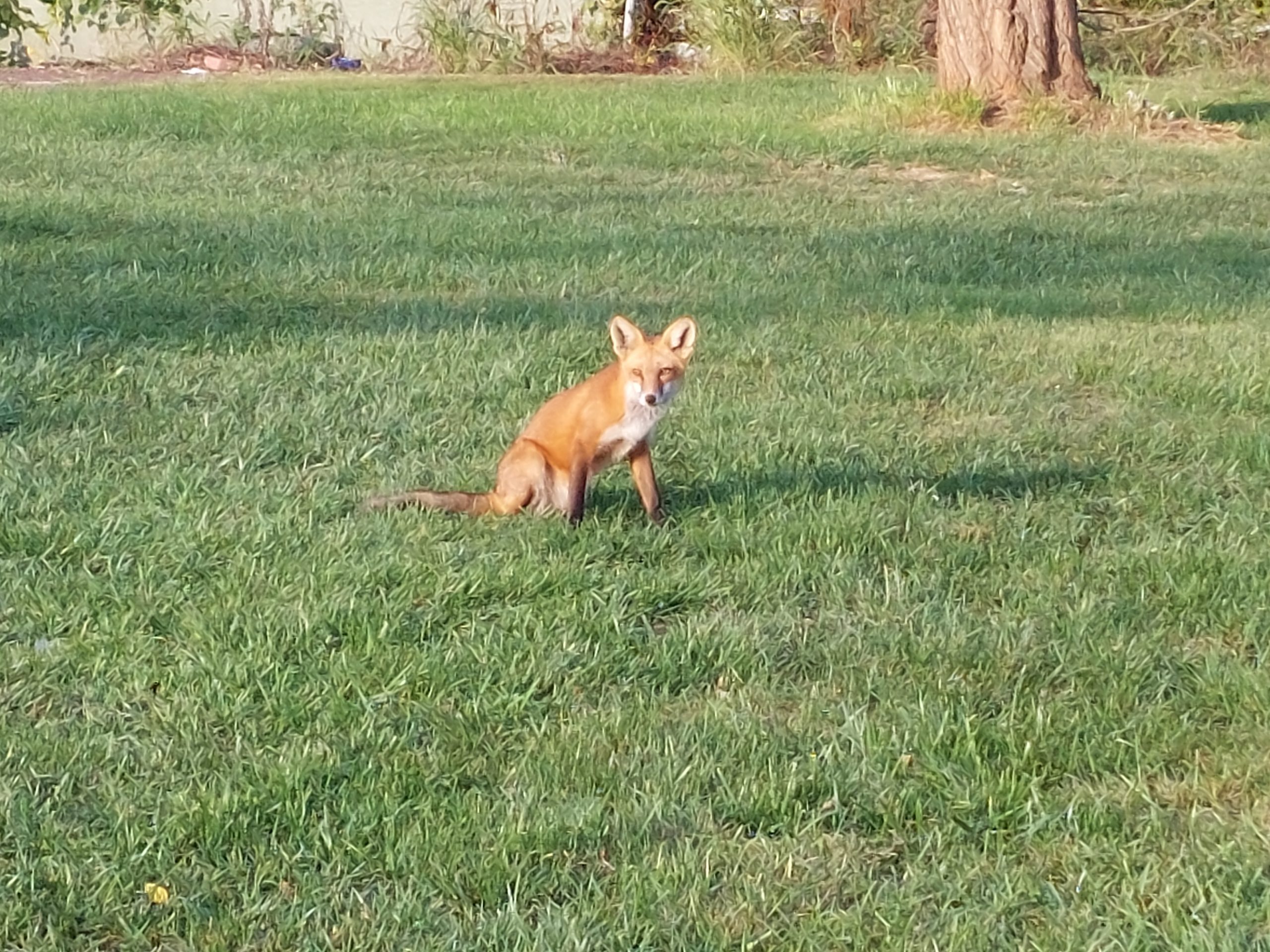
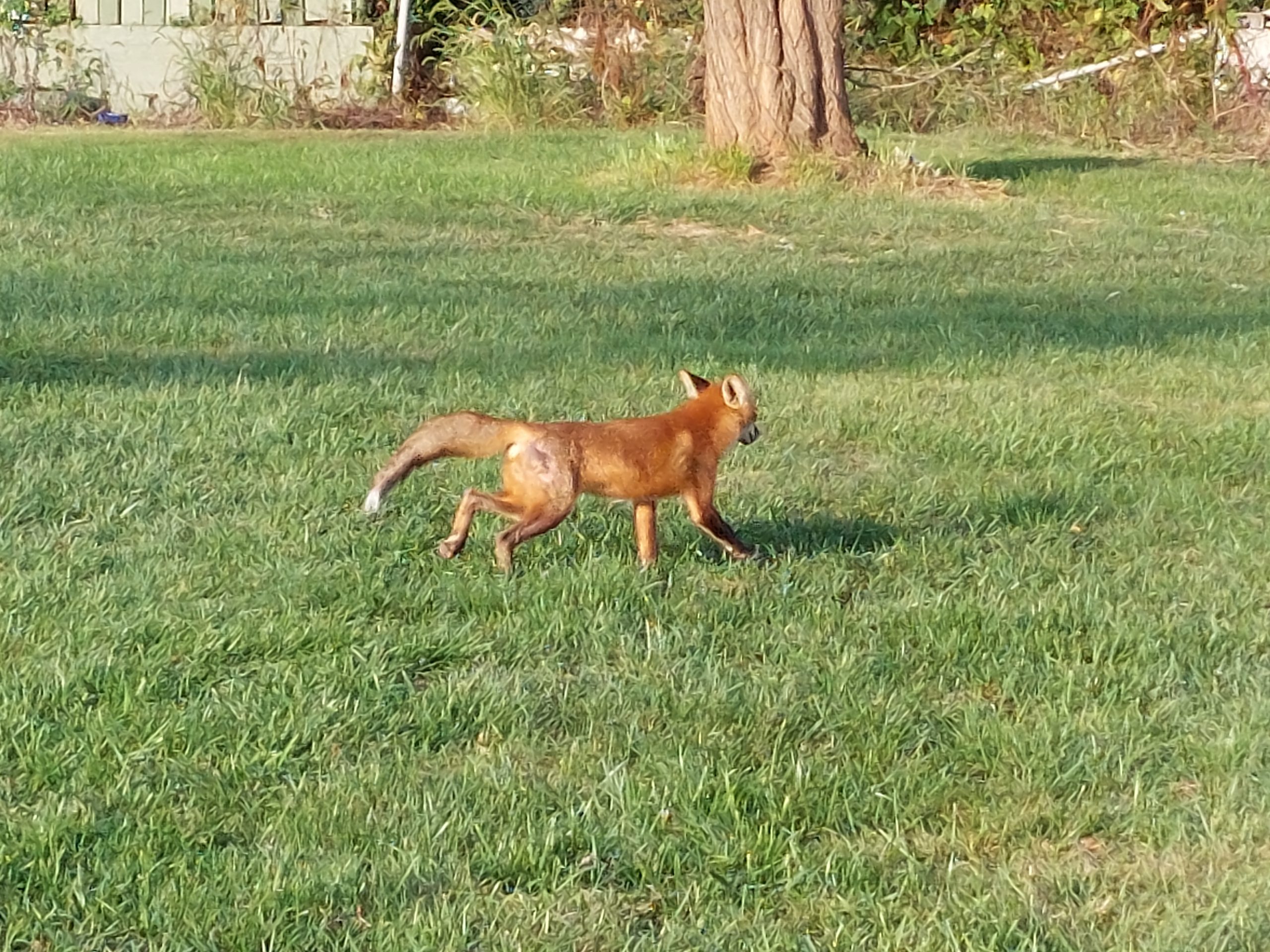
I was at Shawnee last week, and got to spend time with a fox:
A Fox At ShawneeA Fox At Shawnee
It was pretty close to me, and seemed a little too accustomed to people. Rabies? Semi-tame? Stealing food and raiding garbage cans? I don’t know, but apparently it had been in the area for a while and was thriving, which kind of tells me it’s not rabid, or poisoning itself with “people food.” So, good!
I also got some video of it catching dinner:
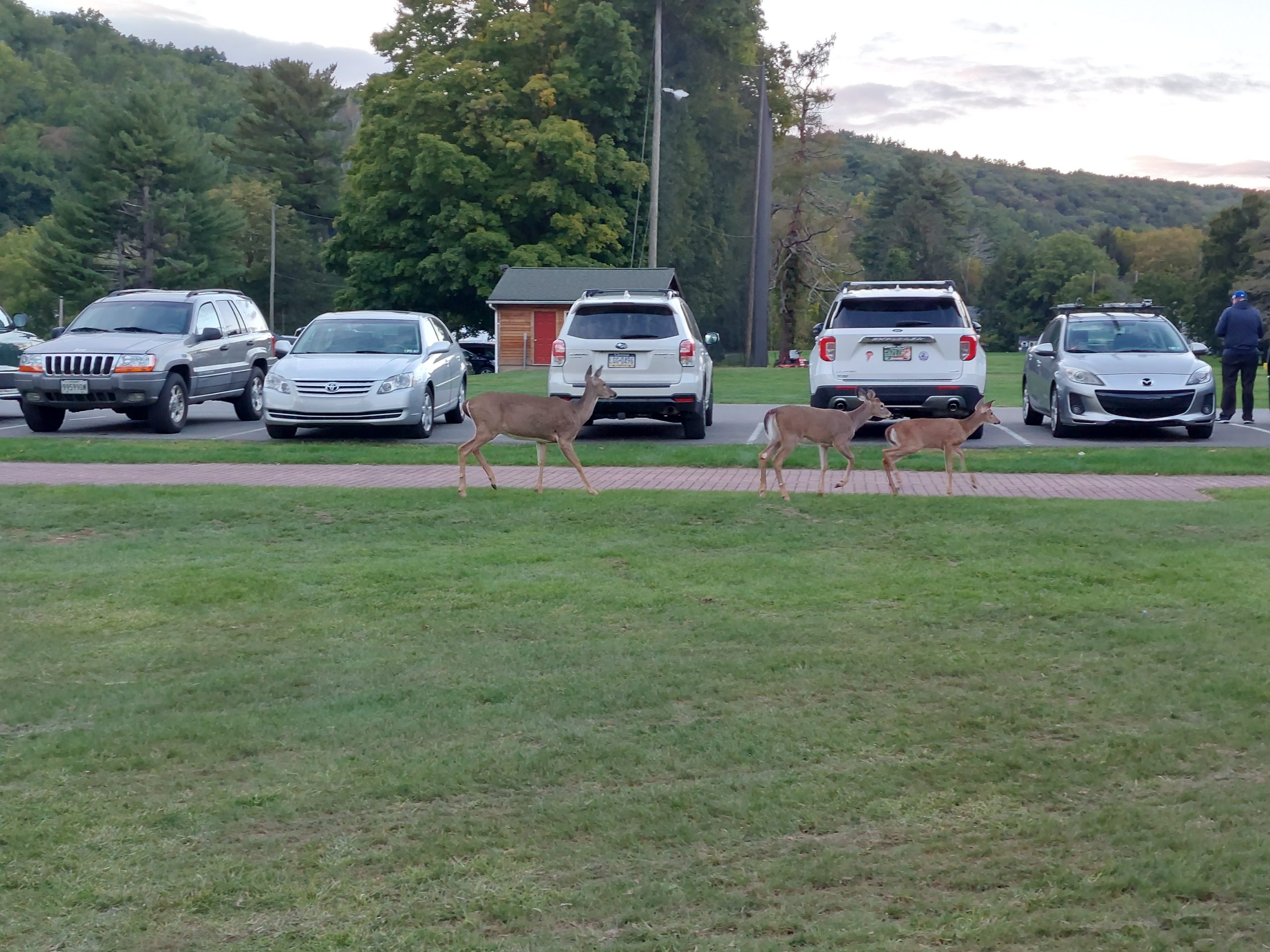
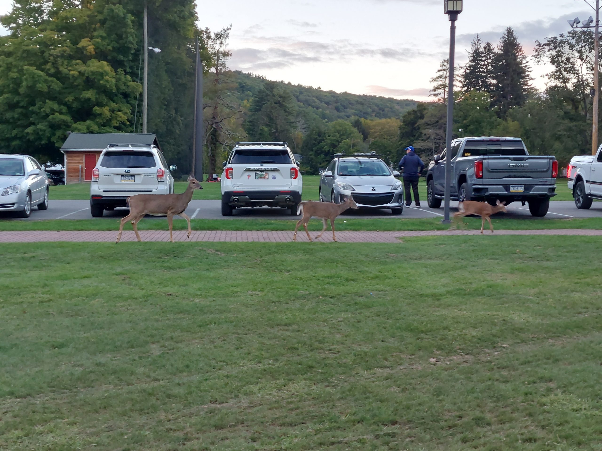
A few evenings later I saw a family of deer cutting across the back lawn, probably spooked by outdoor events and trying to find a human-free path out of the area:
Visiting DeerVisiting Deer
I also saw a bald eagle last week, at the Nesquehoning Trestle outside Jim Thorpe, but none of my pictures were any good. Still, quite a week!
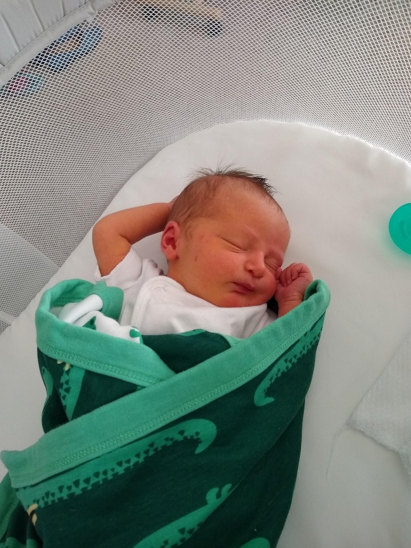
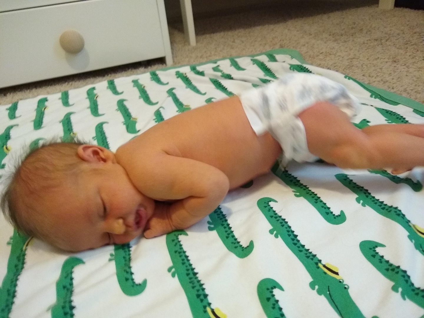
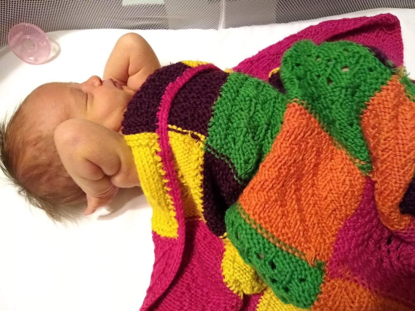
I just can’t help myself, here are a bunch of photos of my new granddaughter, Iris:
Baby IrisBaby IrisBaby IrisBaby IrisIris Does YogaMore Iris YogaIris And EmmiIris
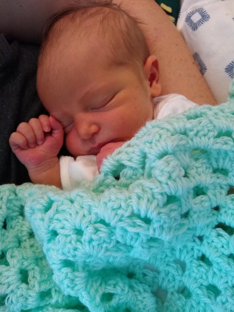
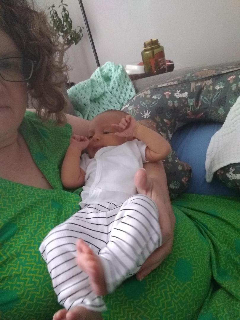
You can see she’s already getting bigger and stronger, here are a few with her eyes open:
IrisIris
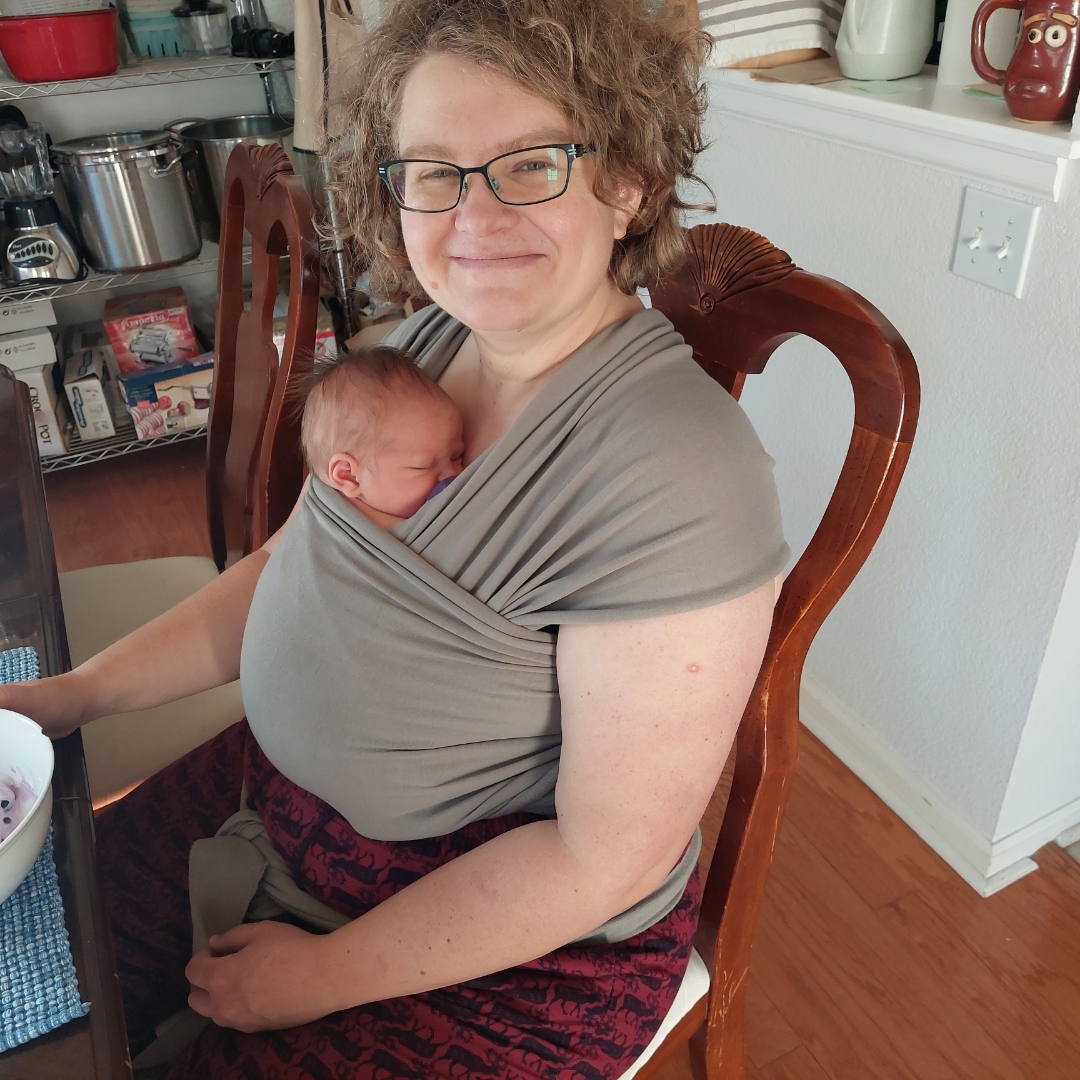
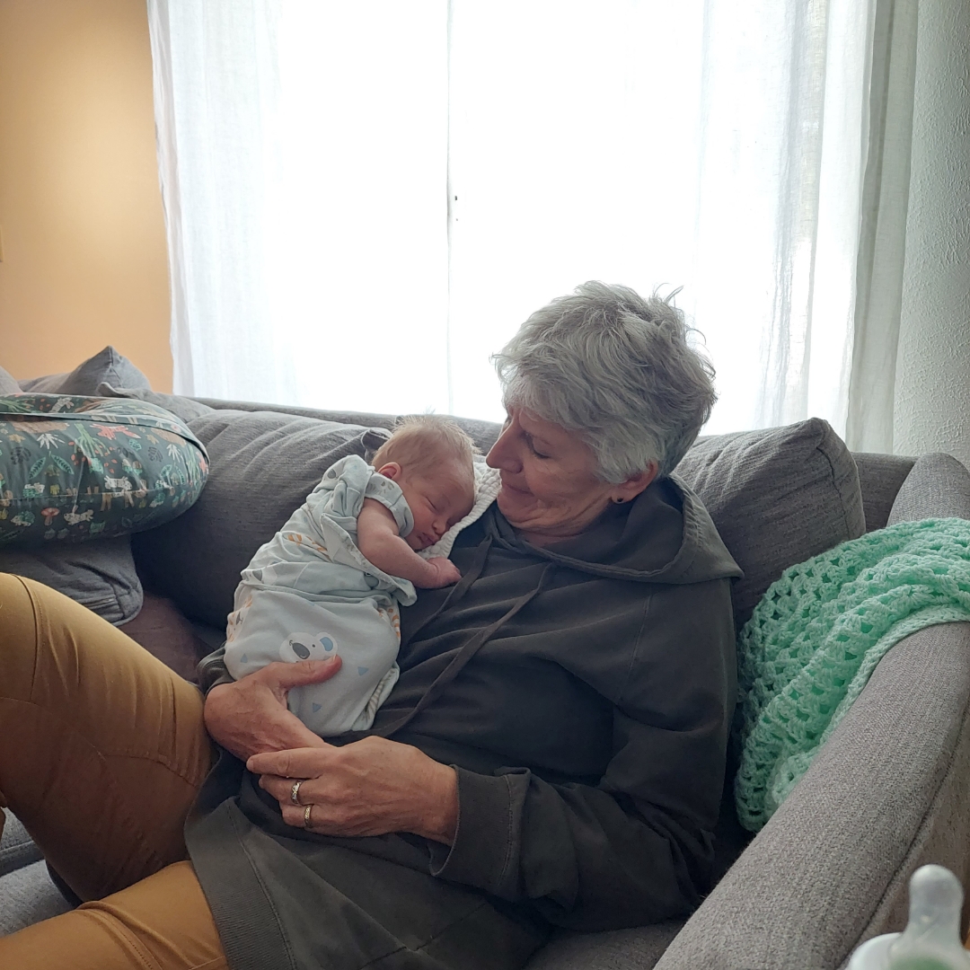
And finally some photos with Emmi and Anne:
Proud MamaIris And Oma
I got these via text, so the quality isn’t the highest but they’ll do for now — I know I’ll get more soon, and I’ll get some of Kyle with his little girl as well. Meantime, enjoy these!
I went out for a ride on Tuesday, heading west/north along the towpath but only going as far as the Taylor House brewpub in Catasauqua — I wanted to check out the new section of improved trail.
This was one of the few sections of trail left that had been open but unimproved (there is/was another one immediately north of this section, between Catty and Northampton, that also got fixed up recently), passable but still fun on a mountain bike. Much of the Lehigh Towpath was like this when I first started riding it, lo those many years ago. The trail is a pleasure to ride now, sure, but I miss those old days and the rougher, more “singletrack-ey” towpath. I only started riding this section north of Allentown maybe two years ago, and really enjoyed the feeling of being on “real trails” again, but hey that’s progress, and the new sections are actually pretty sweet. I believe the official ribbon cutting is today.
Meanwhile, same as it ever was: my bottom bracket developed a creak again (this is the Santa Cruz), and so I took a look and found that both the crank bolt and the right bearing housing had loosened. I cleaned and greased and tightened them down pretty hard yesterday and did another towpath ride (towards Easton this time), and I think I got it solved. For now.
Anne’s mom passed away last week. The past two weeks have been pretty rough, and feelings are a bit too raw right now to say much more about this, so I’ll just link to her obituary here and post one of my favorite pictures, Anne and her siblings with their mom:
I can’t believe I didn’t post anything about this yet — I’m a grandpa! Baby Iris came into the world just the other day, 7 lbs 4 oz and 21″ long. Emmi, Kyle and Iris are all doing great. More on this in the coming days and years…
We spent a big chunk of the last week preparing, cleaning etc, and on Saturday we had a Labor Day BBQ with Anne’s family: siblings and their kids (and their kids), Ben, Anne’s mom, and even her Uncle Joe. We fired up the oven and made pizza, had burgers and hot dogs, and corn on the cob and all kinds of summer salads. All in all a perfect way to end the summer.
Sunday was recovery day: Ben had stayed over, and he and we cleaned the yard, and the kitchen, and made a nice (huge) breakfast. We hung out until mid afternoon, when we drove him home to Philly and checked out his new apartment. (We took Kelly Drive, which meant we drove right past one of the locations I’ve been studying recently, where there was a river crossing on the Schuylkill at the end of what is now Ferry Street, part of the native path between Philly and Harrisburg.) When we got home we visited with our neighbors Matt and Diet, and Matt’s dad who was in town for a few days.
Yesterday was a CAT group ride down Cherry Valley, sort of the “second half” of our Blue Mountain ride the week before. It’s also one of the Road Scholar routes, so I invited my boss and co-ride-leader Andrea along, and some people from the D&L were there as well — one person at least, and some of her friends — it was a pretty nice crowd. We rode from outside Wind Gap to lunch at the Apple Pie Store in Delaware Water Gap, then retraced our steps back to the cars. Not a bad ride, about 26 miles in all, and we finished just before the rain started…
It’s been raining ever since, a nice mild soaking rain, something we really need right now. Today I’m just hanging out, doing some more post-party straightening and getting ready for cello duets with my friend Donna.
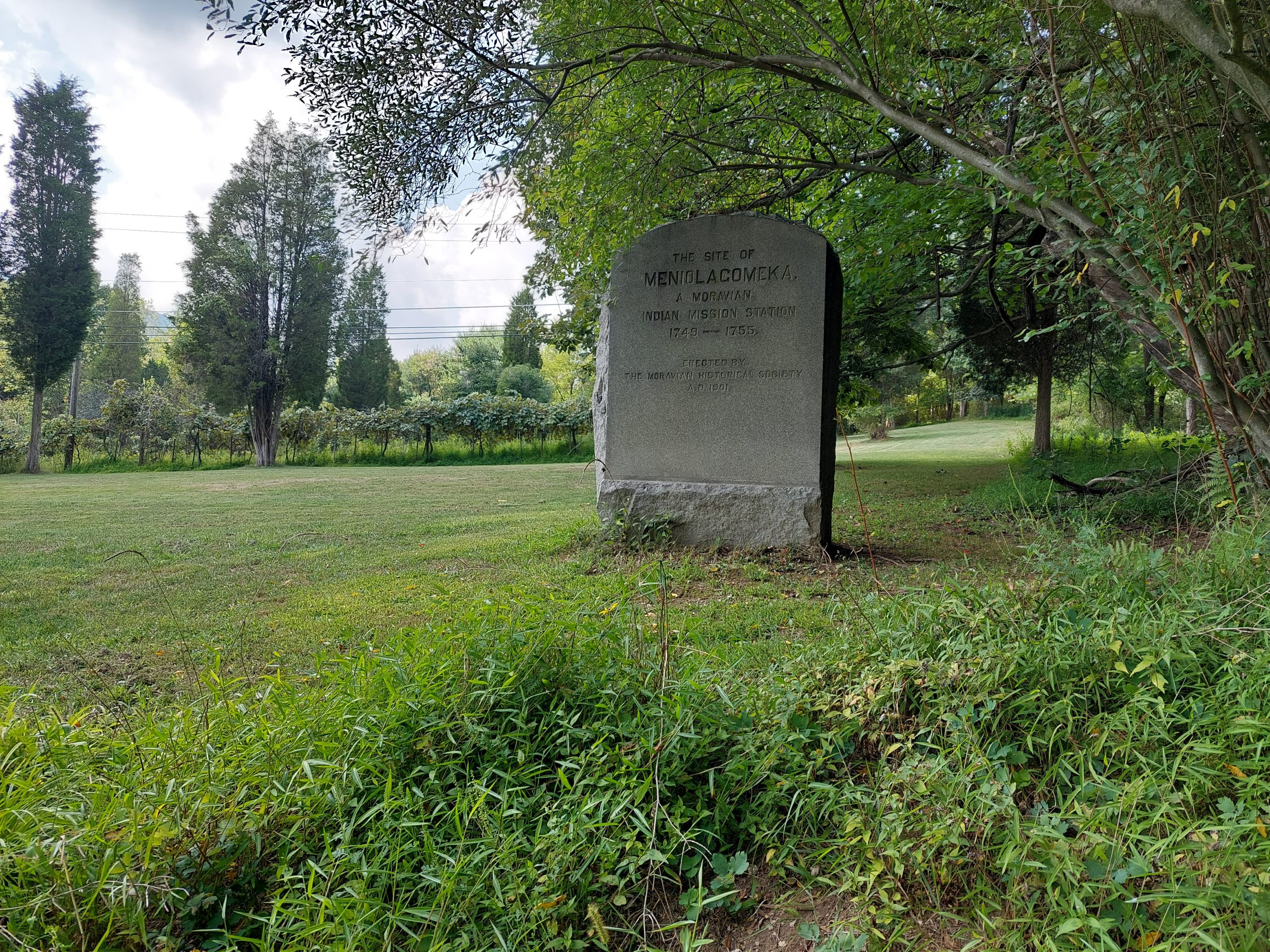
Meniolagomeka (“fat land in the midst of scarcity”) was a small Lenape village near what is now Kunkletown, on the banks of the Aquashikola Creek just north of Blue Mountain at Smith’s Gap. The Moravians had converted many in the village, and eventually founded a mission station there, but some time after the Walking Purchase the natives were evicted by the colonial authorities, and the Moravians relocated them to Gnadenhuetten (Lehighton). The actual location was pretty much forgotten for a century, until the Moravian Historical Society rediscovered it and put up this memorial marker.
The village is not far off the route of one of the more iconic local bike rides — among my crowd anyway; it’s part of the old Gap Gallop century ride, crossing Blue Mountain at Little Gap and returning via Wind Gap a dozen or so miles further down the ridge — but I had no idea anything like this was here until recently. After the week of kitchen disasters we just had, Anne and I both needed a big ride, so even though the Blue Mountain route doesn’t really follow many native paths, and the Meniolagomeka site does not figure prominently in my Native Paths project, I thought it would be neat to do the ride, and make an effort to find the old memorial stone.
So that was the ride we did on Friday, with our friend Dwight H.
Our ride took us up Township Line Road, through Bath and Moore Township, and out to Danielsville via the little roads that run south of the mountain. Blue Mountain Drive was being repaved and was down to one lane the whole way to the top, but the construction guys gave us some traffic assistance (and an audience) for the climb. We regrouped at the top, then bombed down the hill, past the ski resort and made the right onto Smith Gap Road.
The memorial is on a road called Chestnut Ridge Road, a turn off Smith Gap Road (and pretty much at Smith Gap). We turned off our route, spent some time admiring Aquashikola Creek, and then rode a few hundred yards up the hill and found the stone — it was at the edge of a field, on what looked like private property but close to and easily visible from the road. We stopped, took some pictures and paid our respects, and then continued on our way. (We heard thunder so we weren’t sticking around.)
The rest of the ride was pretty uneventful, though we did get caught in a storm cell (a little cold rain actually felt good), and we also stopped at the “Snoopy Barn,” where Dwight took a few selfies. All told, we got in about 67 miles in just over seven hours. (I took about a mile off the beginning and end of the ride on my map, to preserve some privacy.)