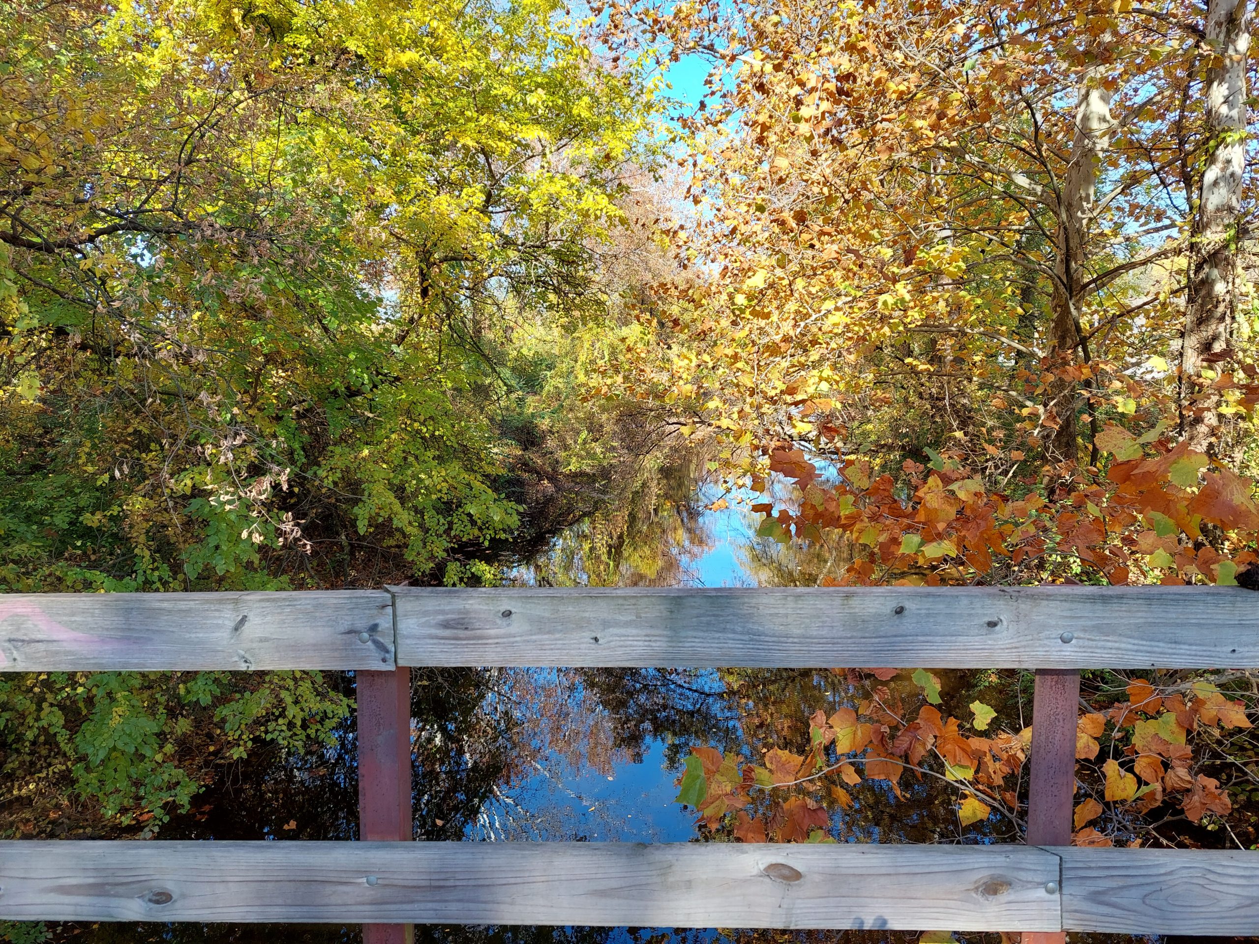
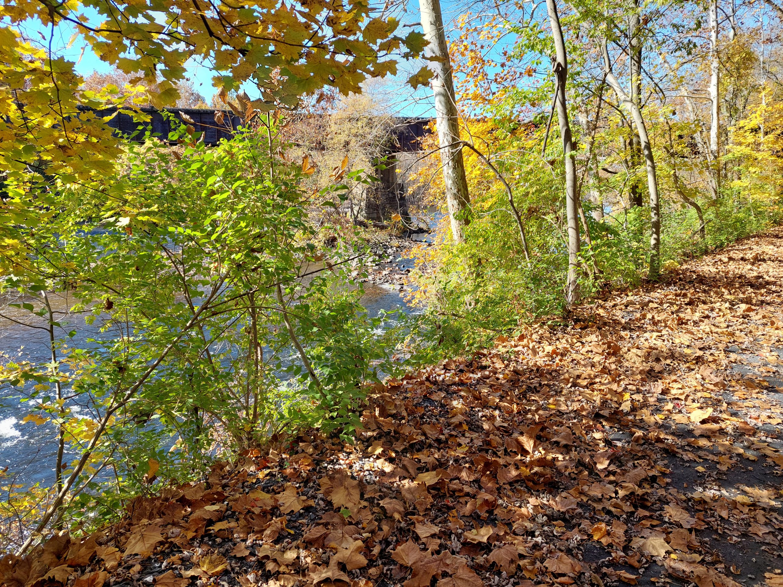
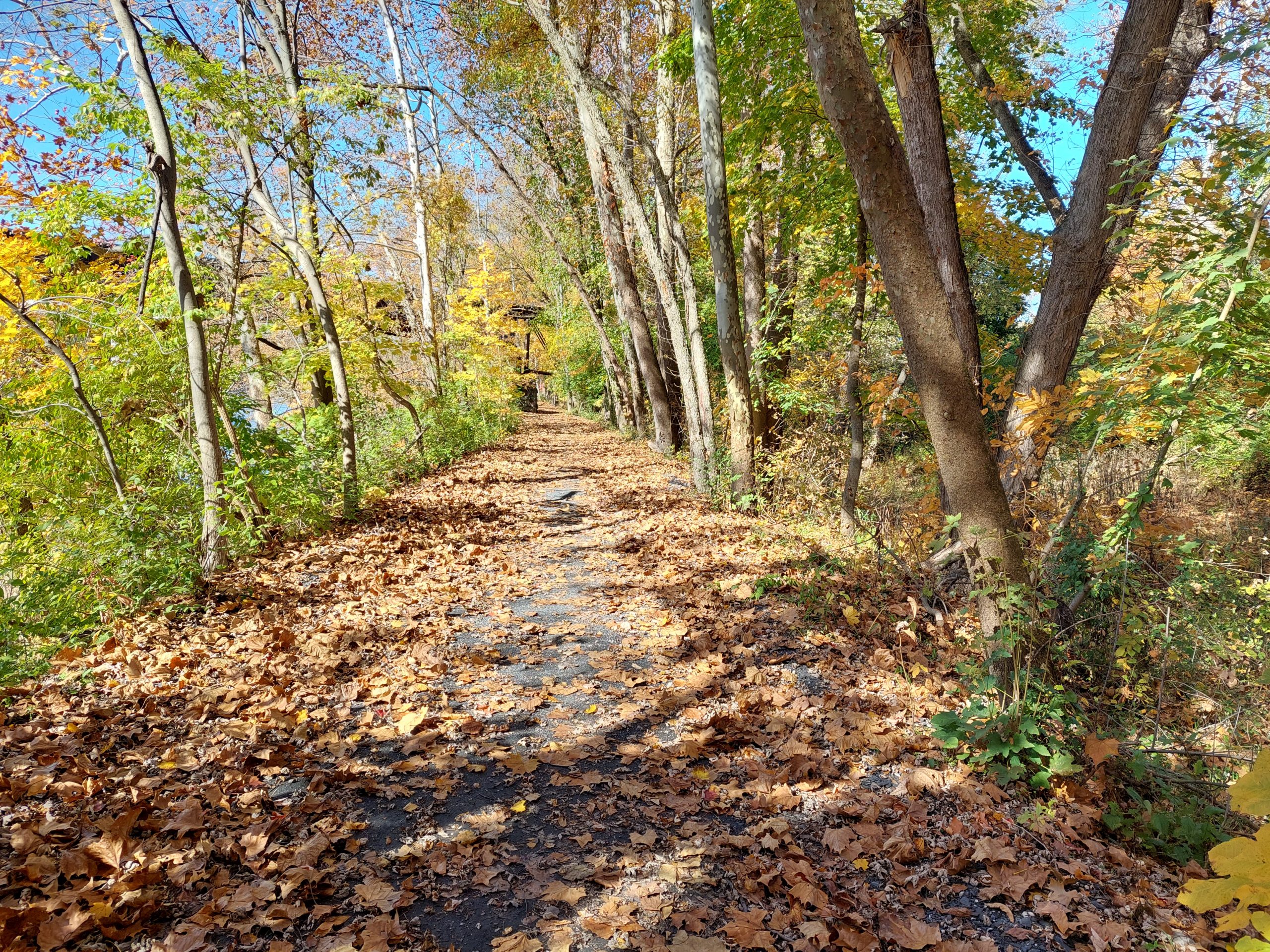
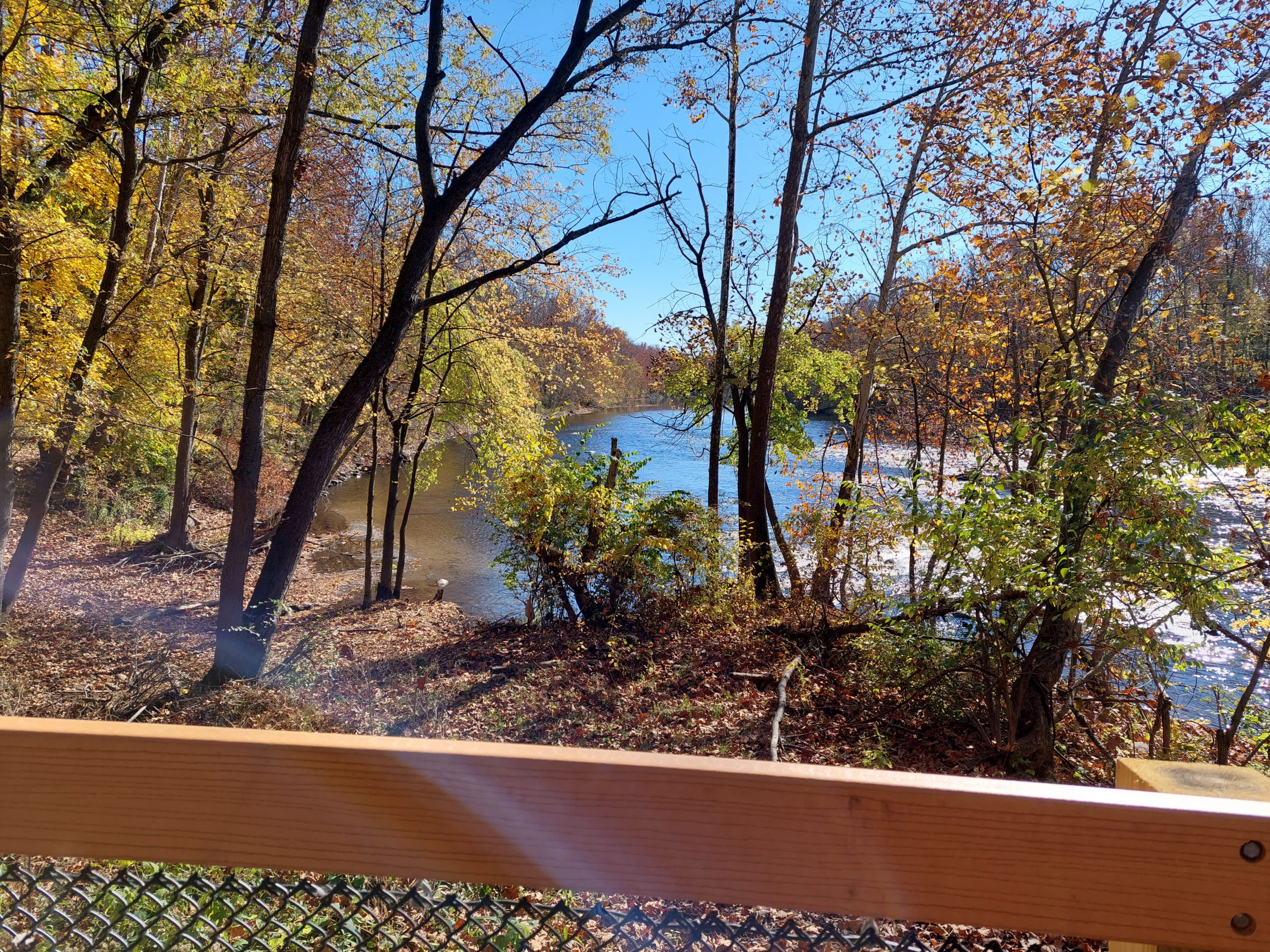
Things To Say… I see I haven’t posted much here lately. It’s not that I haven’t had much to say lately, it’s just that, for each thing I’d have to say, I didn’t feel like writing when in the moment, and once the moment’s gone the thing I would have written about fades as a fresh subject and is gone. Or something… So um, now that I’ve cleared that up, what has been going on lately?
Thanksgiving, A Recap
Thursday, we had an early dinner with John and Donna and Donna’s family: her parents, her daughter Erin, with husband Todd and almost-three daughter Sloane, and her son Brian with his girlfriend Sam (someone we’d known for years before they started dating, she was already practically family). We basically had an entire Thanksgiving Dinner including desserts — it was stomach-poppingly awesome, then the kids all went off to their second Thanksgiving dinners while we went home to nap…
Friday was dedicated to getting ready for our own Saturday dinner with Anne’s family. We cooked (or rather, Anne cooked), and cleaned — luckily we hosted the CAT holiday party just the week before, so cleaning wasn’t too bad, and on Saturday we had a “Thanksgiving leftovers” dinner: open-face turkey sandwiches, with gravy and side dishes. All of Anne’s siblings were there, and many of their kids (all adults now), and some of them brought their own kids; there we even a few young children there, which was fun. Sunday was basically a recovery day.
Back To School (99% Of Everything Is Crap)
I took two more EdX courses, one for practical PostgreSQL and another as an introduction to C++. Both were introductory courses to bigger programs, but they were both so dissatisfying that I’m not sure I’ll continue with either one. (I put further courses on hold until after we get back from Colorado, so nothing’s happening here anyway.)
Part of the problem is that I’m taking the free versions of these courses. Maybe you do only get what you pay for but I really got a lot out of the ones I took last year; there is a fine line though, between the “freemium” model followed by those other courses, and crippleware, which is what these new ones seem to be, especially the PostgreSQL course — lab work is not available in the free version, unlike those older classes, where homework, labs, quizzes and so on were available even if they were not graded. I managed to follow along on the video lessons for some of it — the videos were actually very good — but it was frustrating and I foresee a lot of difficulties with this series going forward.
The C++ course had the opposite problem: I could see and do the homework, even if it wouldn’t be graded, but the lesson quality was shockingly bad. Poorly produced and echoey videos, an instructor who didn’t have a lot of skill (to put it mildly) with video presentation, and video transcripts that were essentially garbage… I got a lot out of this course, but it was mainly through independent research and by doing the homework.
For all I know, most of these courses have problems like this, and I just lucked out with last year’s programs.
A Blast From The Past
The very last PPRAC ride was this summer. We were away in Canada so I didn’t participate, but I admit I was tempted, and that did get me to reminiscing about some of the PPRAC rides I did. I was only there for three rides (2003, 2005 and 2007) but they were among my most rewarding experiences, and I’ve had a hankering to relive at least some of those rides, or maybe just to know where we were and what we rode.
I didn’t really get into GPS until about 2009, but I knew that some PPRAC people were earlier adopters. I got in touch with some of the people I still knew, no one had anything but they referred me to Eric L, one of the original ride planners and the maker of all the old cue sheets. He just got back to me last week with hard copies of the cue sheets for the 2005 and 2007 rides (2003 may be lost to time), and I spent some time putting them into RideWithGPS.
This was so worth it. I was able to answer questions about the rides that were niggling at me for years: what was the long country road, slightly downhill for like thirty miles (probably the best, the most joyous thirty miles I’ve ever ridden), exactly where was that crazy climb called Lamb’s Gap, where were those places we stayed? Now I know.
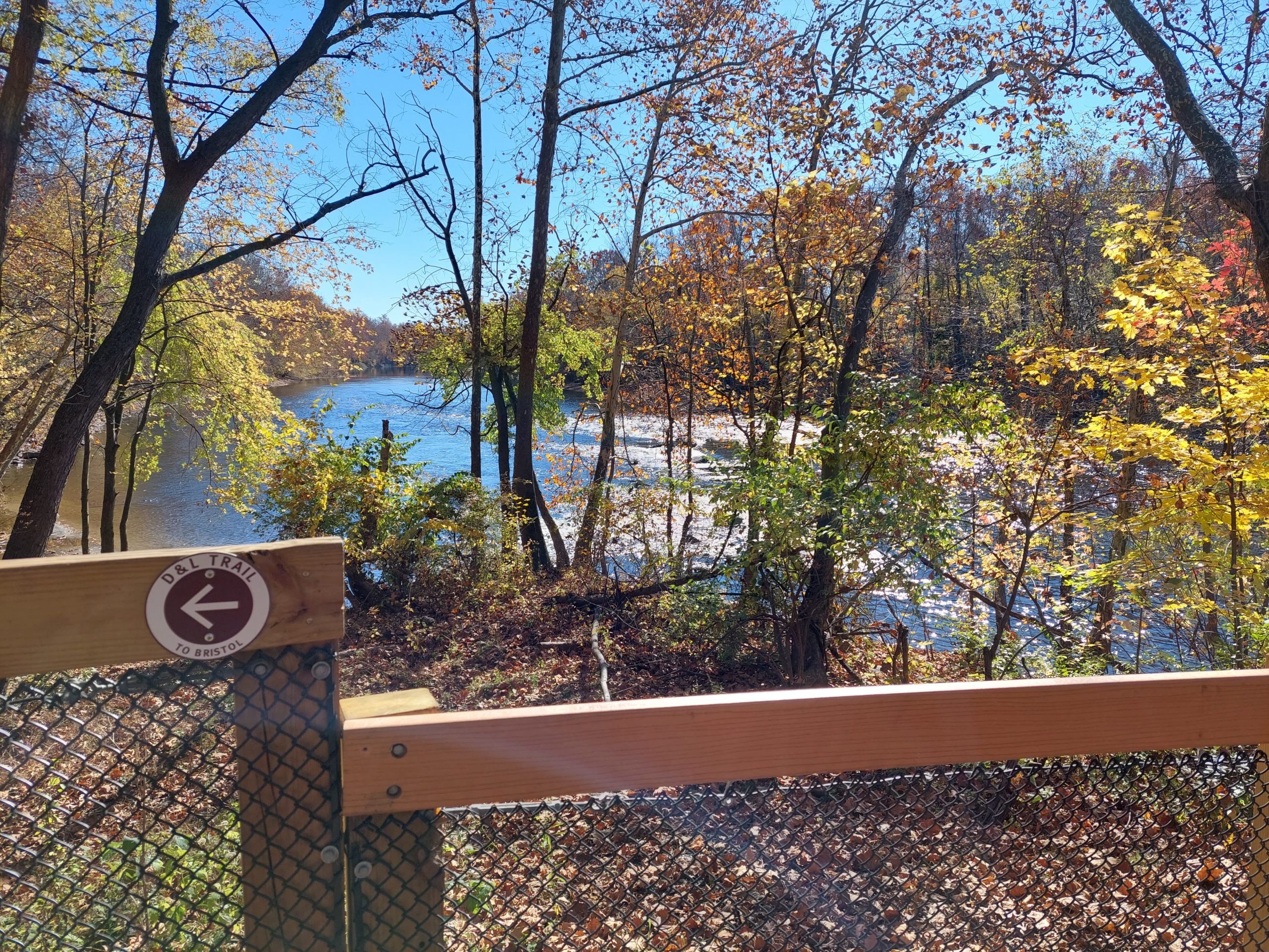
I also know now that many of these routes coincide with, or are adjacent to many of the roads in my Native Paths project. As it happens, the Native Path project is slowly morphing into ride plans, and these old routes fit incredibly well into the planning mix.
Meanwhile, the Native Paths project itself has sort of been on hiatus after the dining room cleanup for Thanksgiving, but I just processed a few more scanned maps and added their foot paths, and will bring my research materials back downstairs soon.