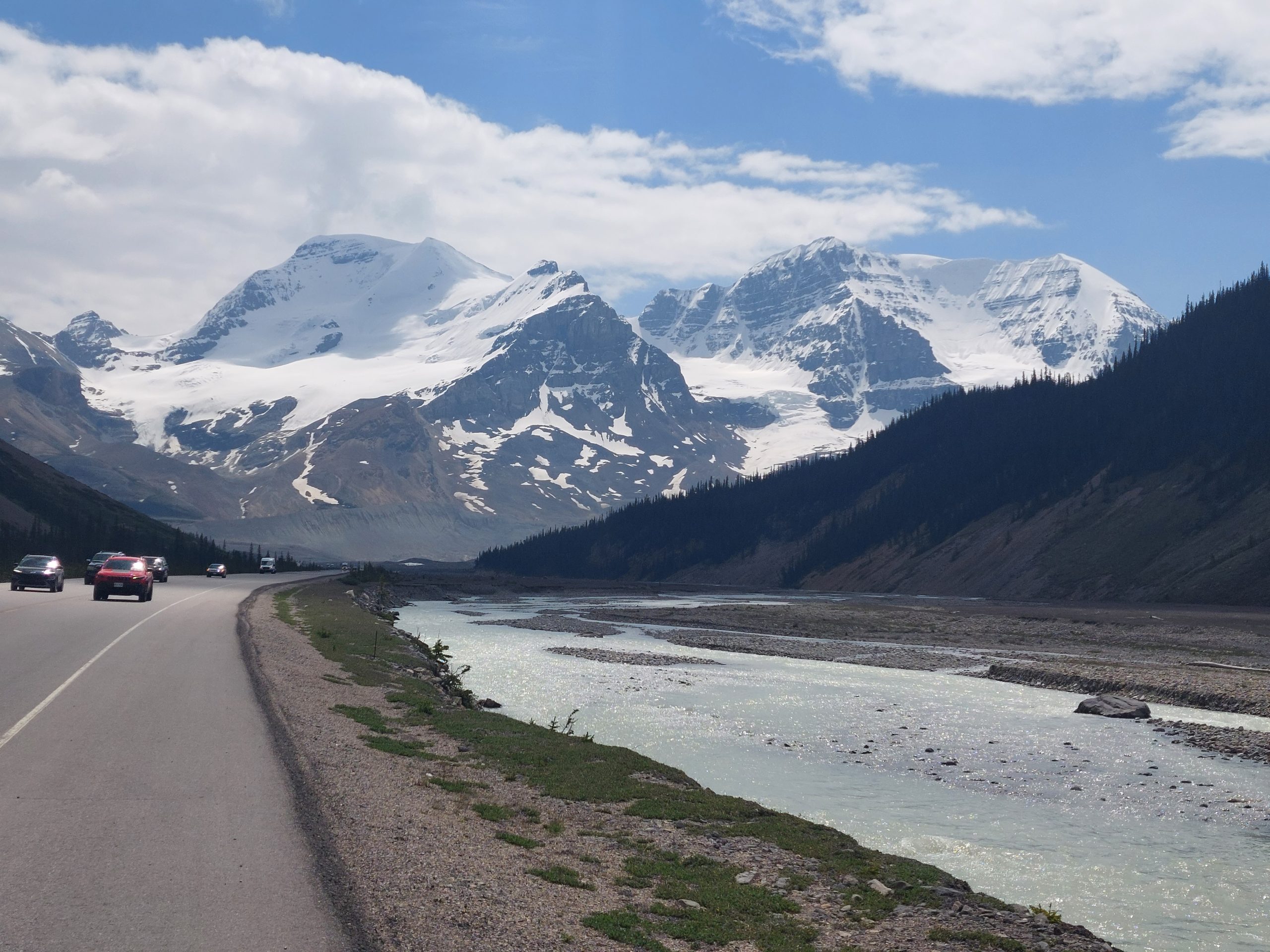
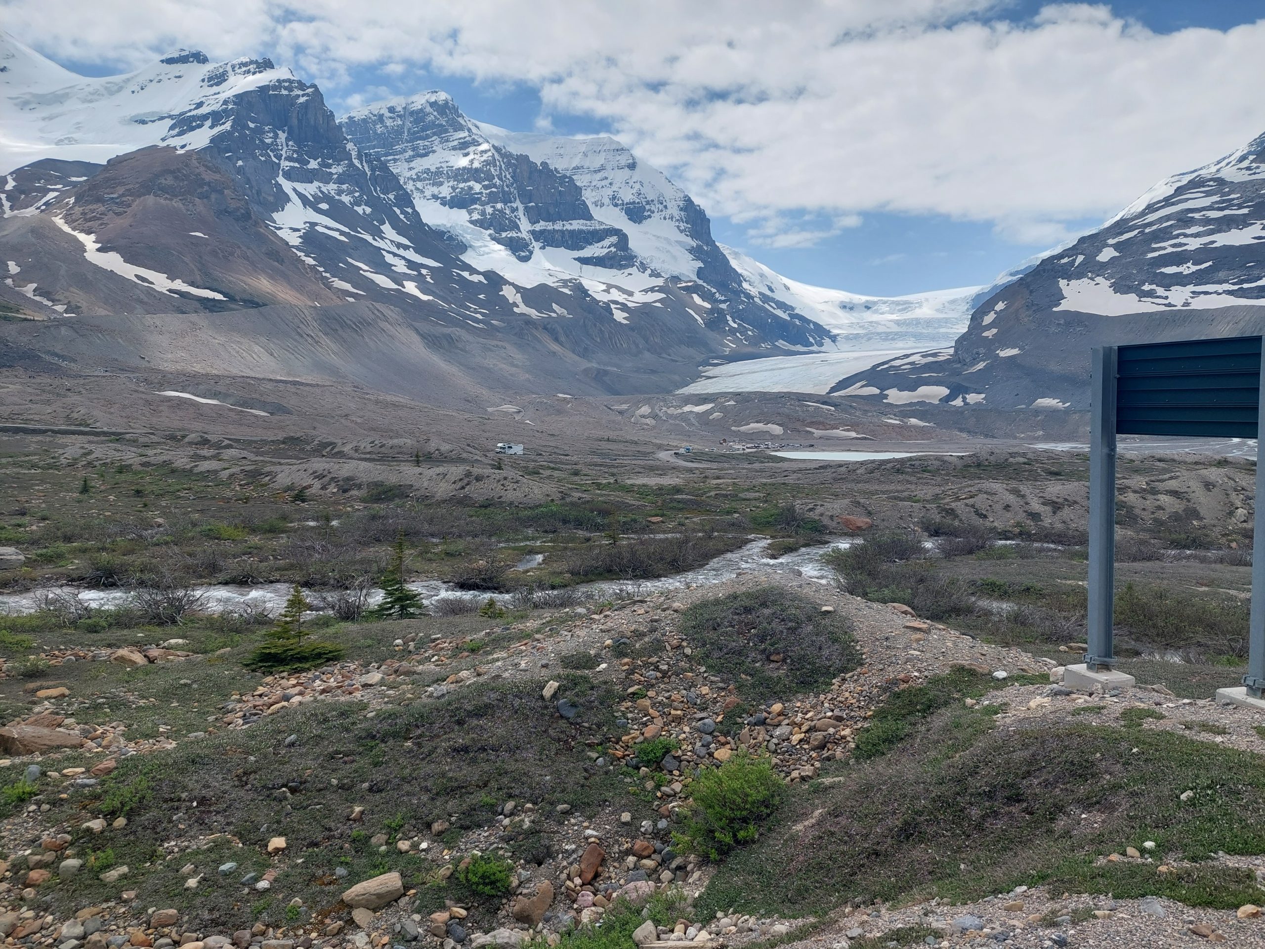
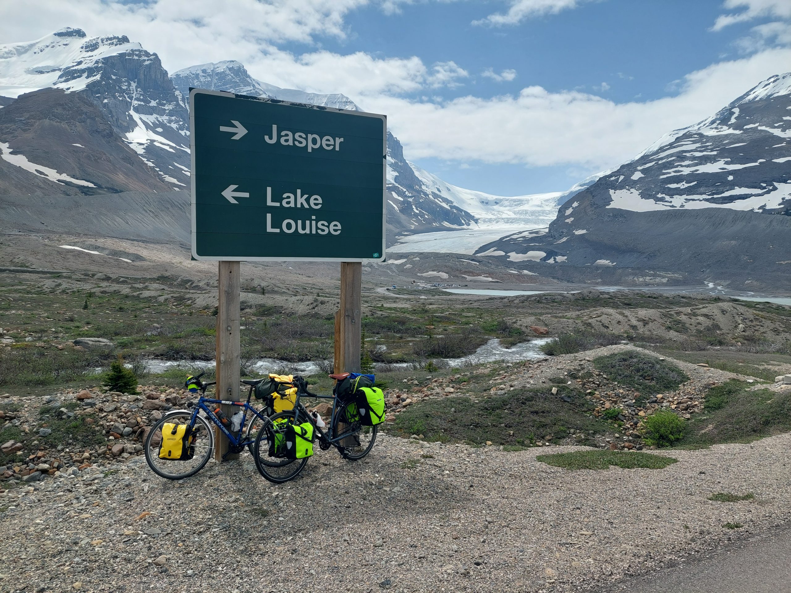
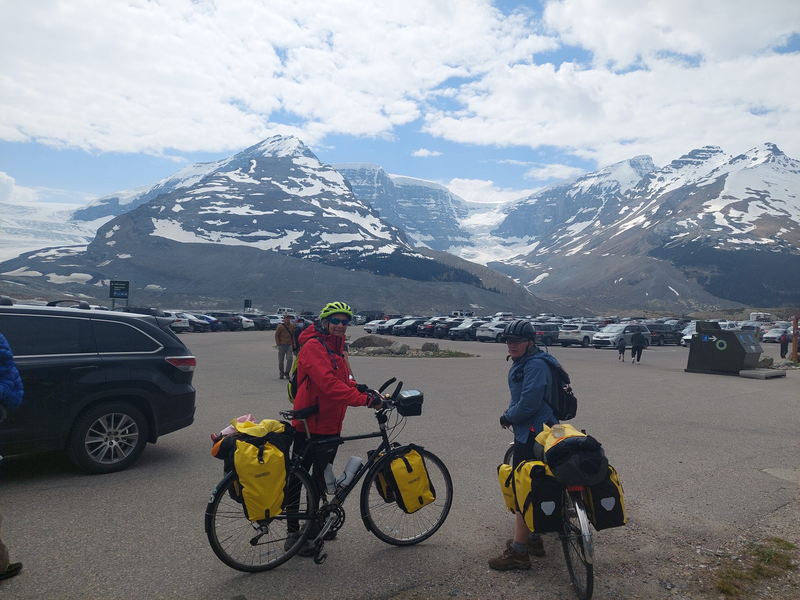
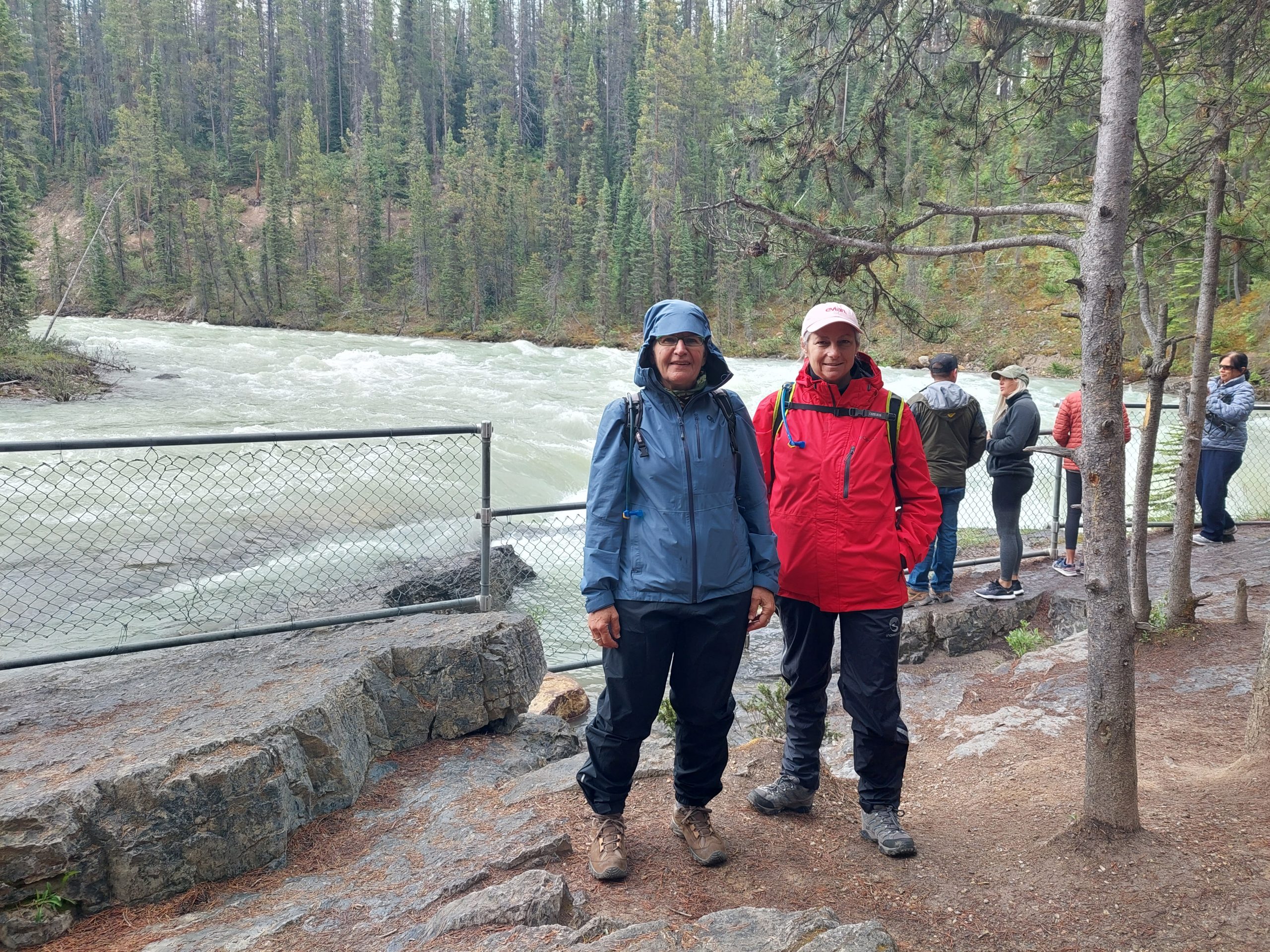
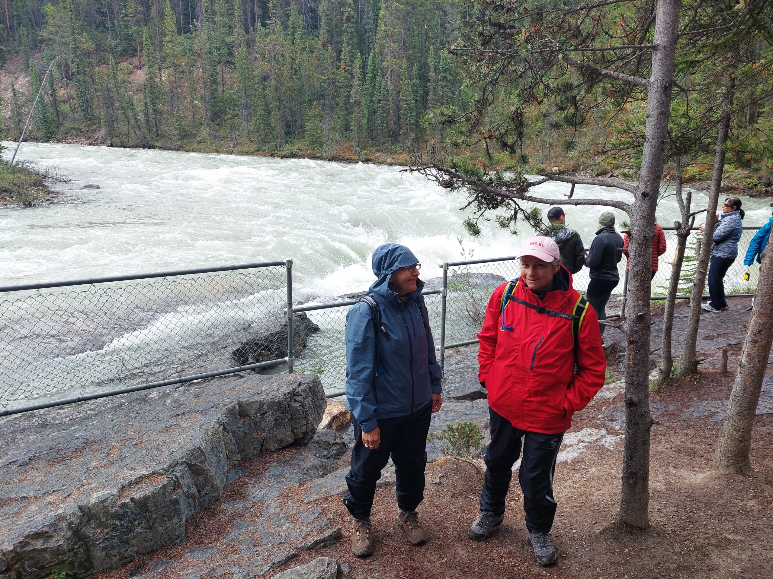
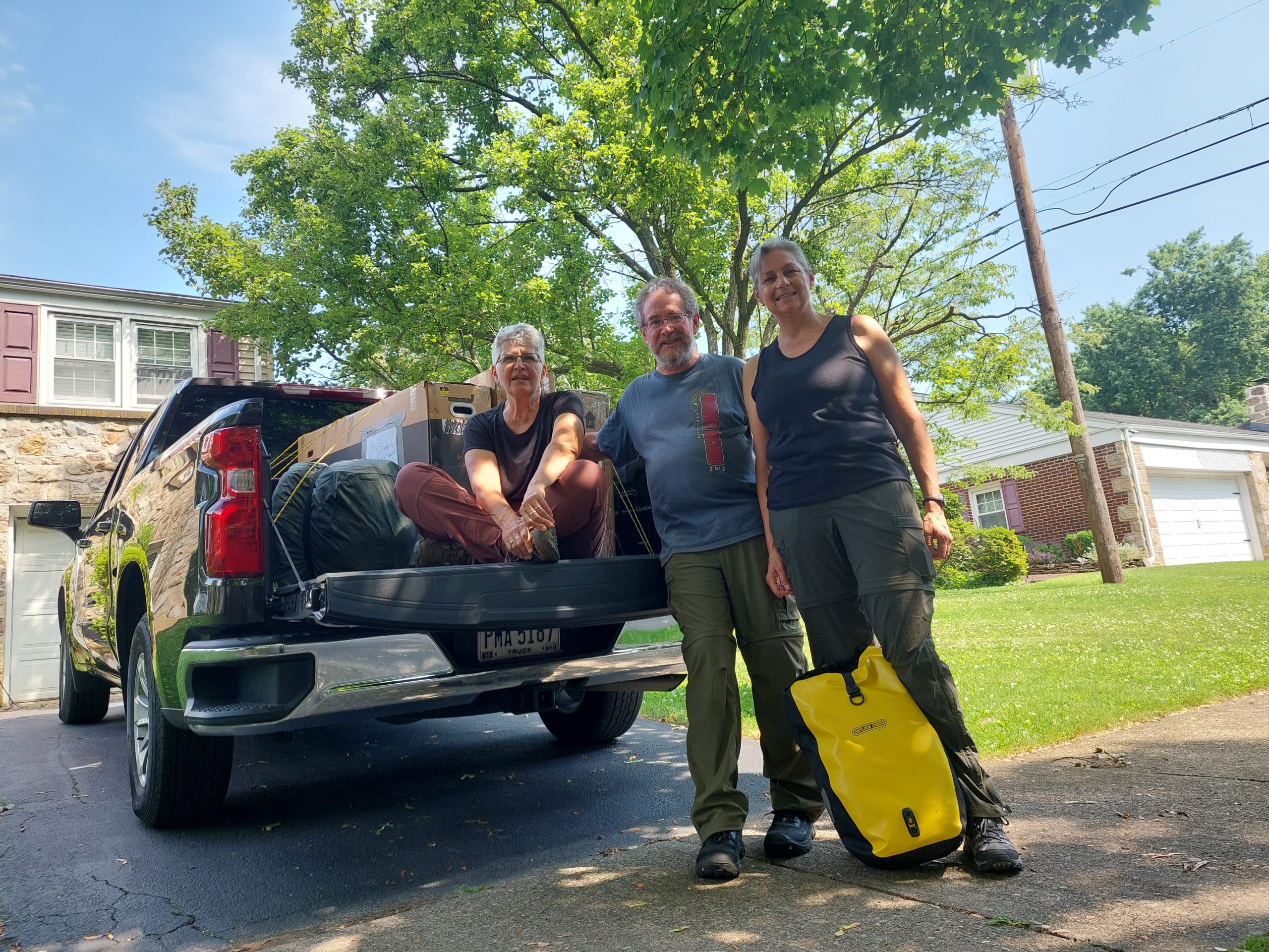
This is the eigth in a series of posts about our bicycling trip down the Icefield Parkway, through Jasper and Banff National Parks in Alberta, Canada. The full series can be found here.
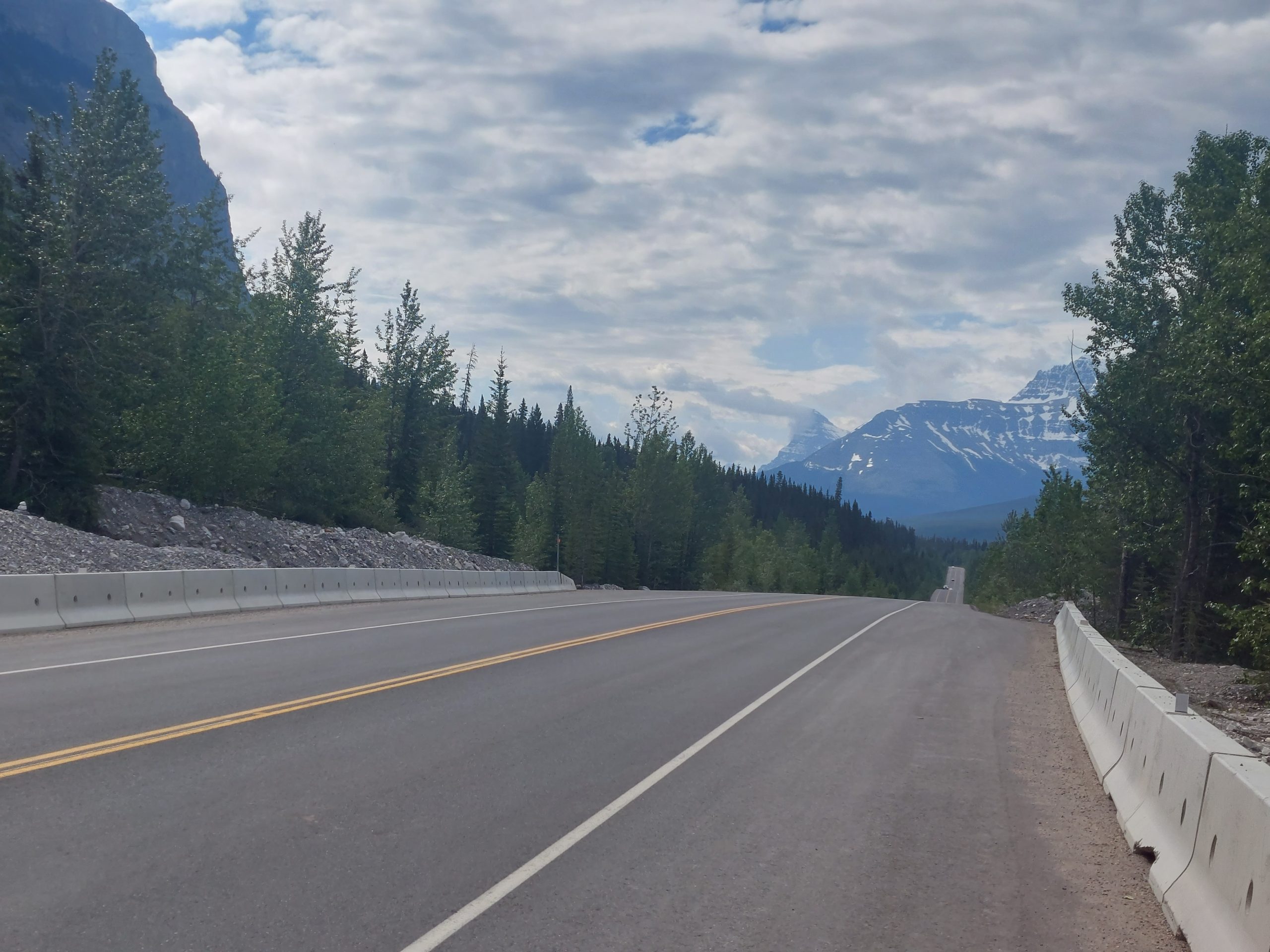
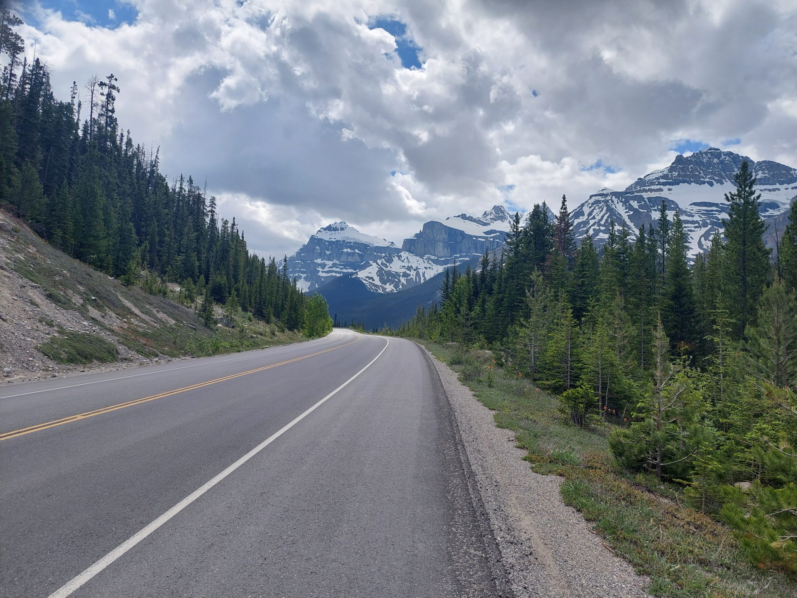
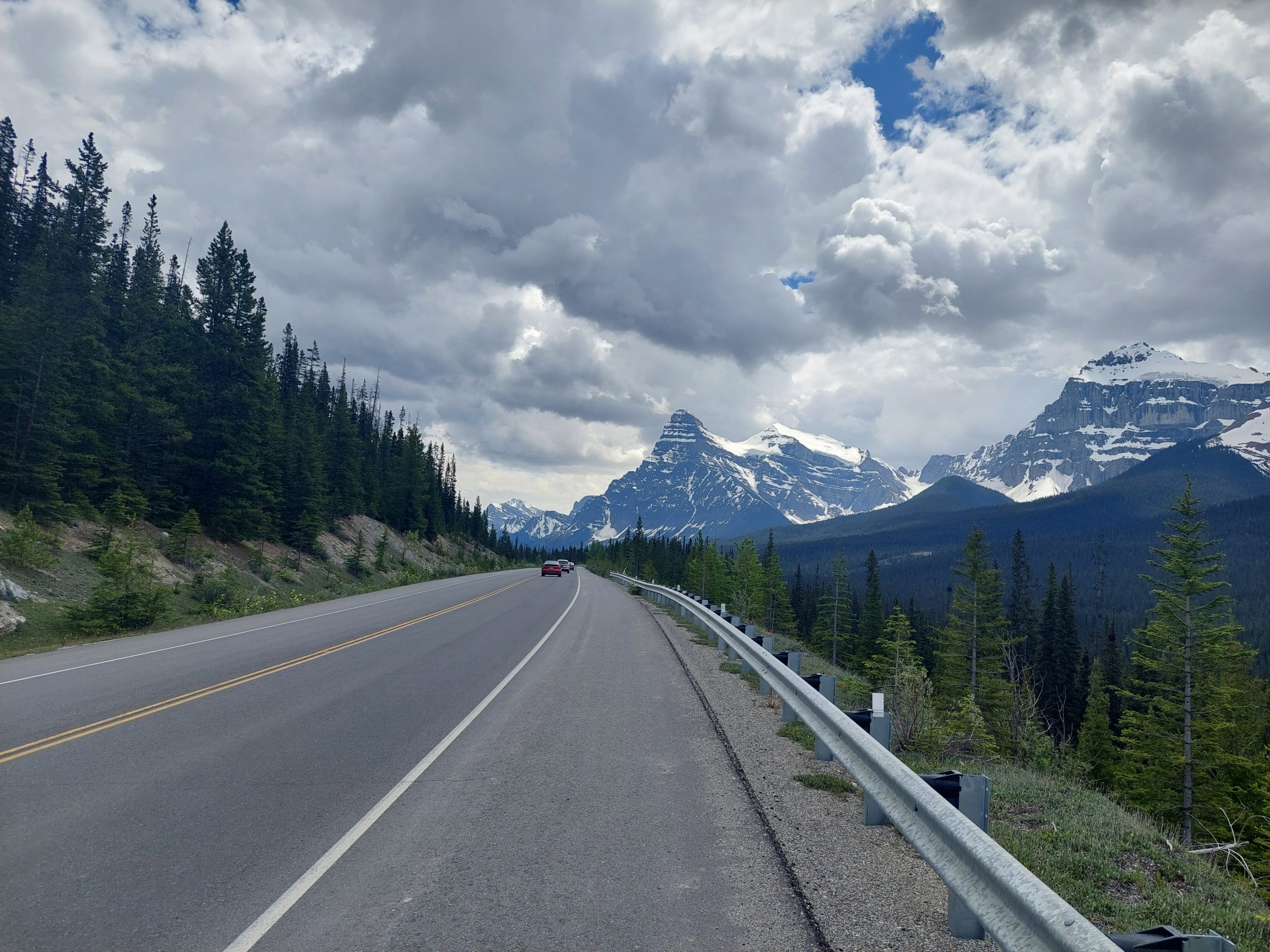
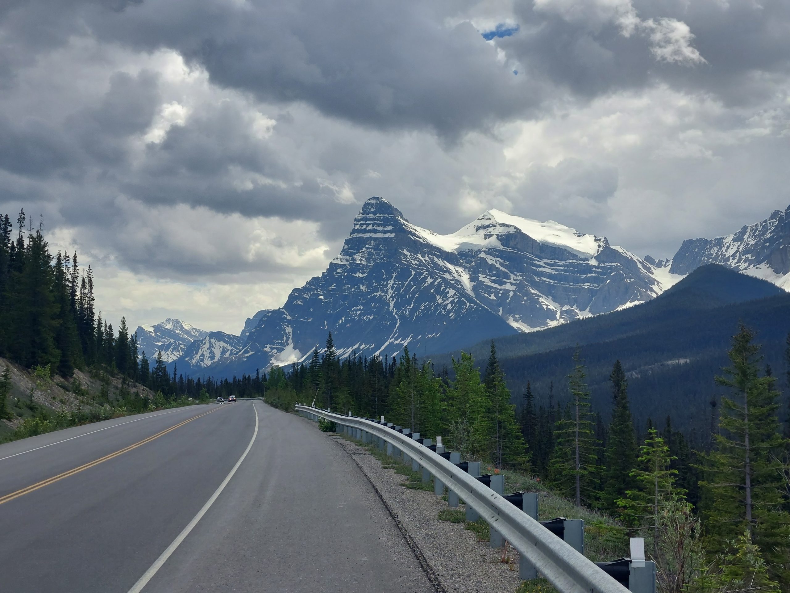
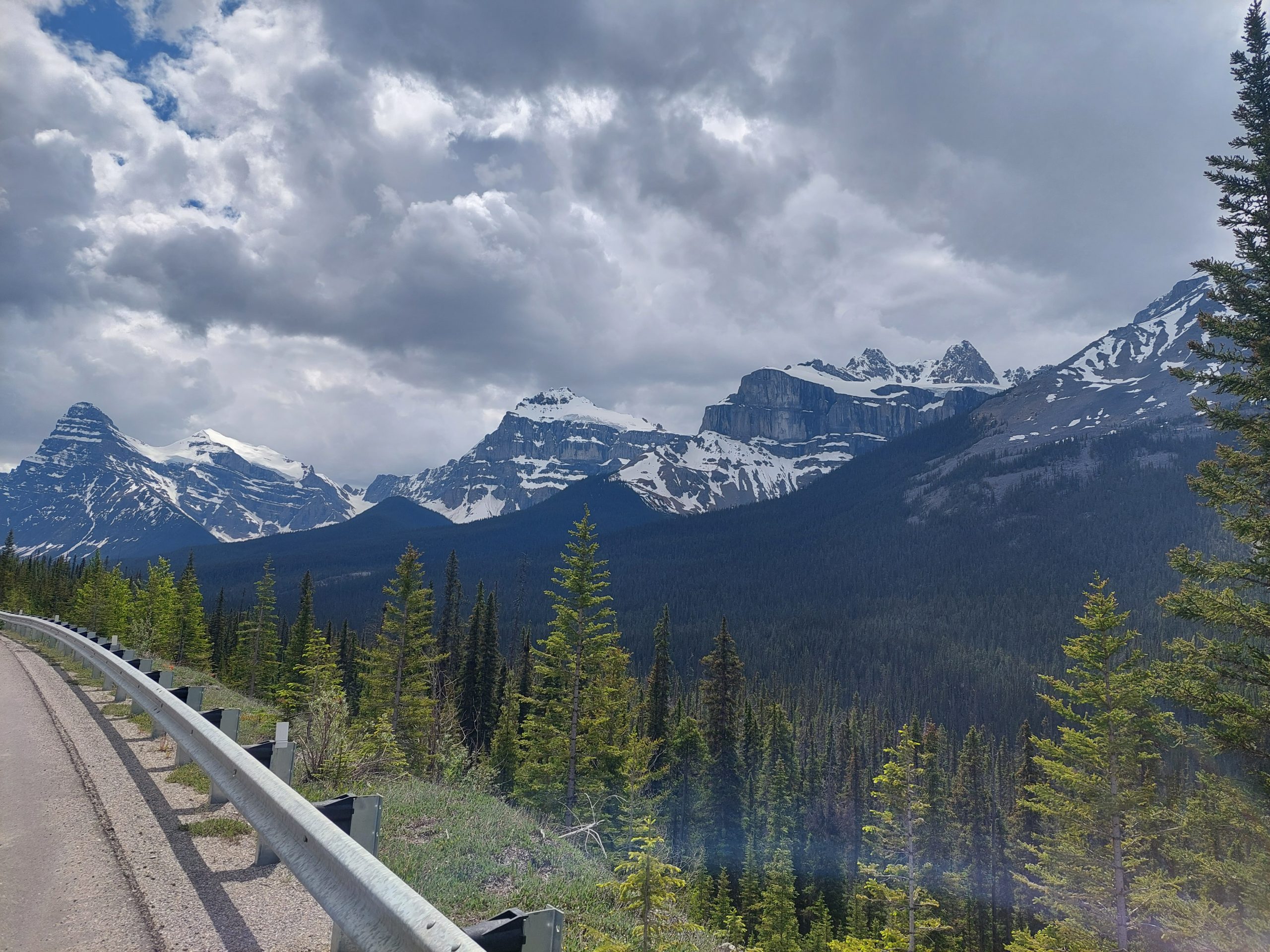
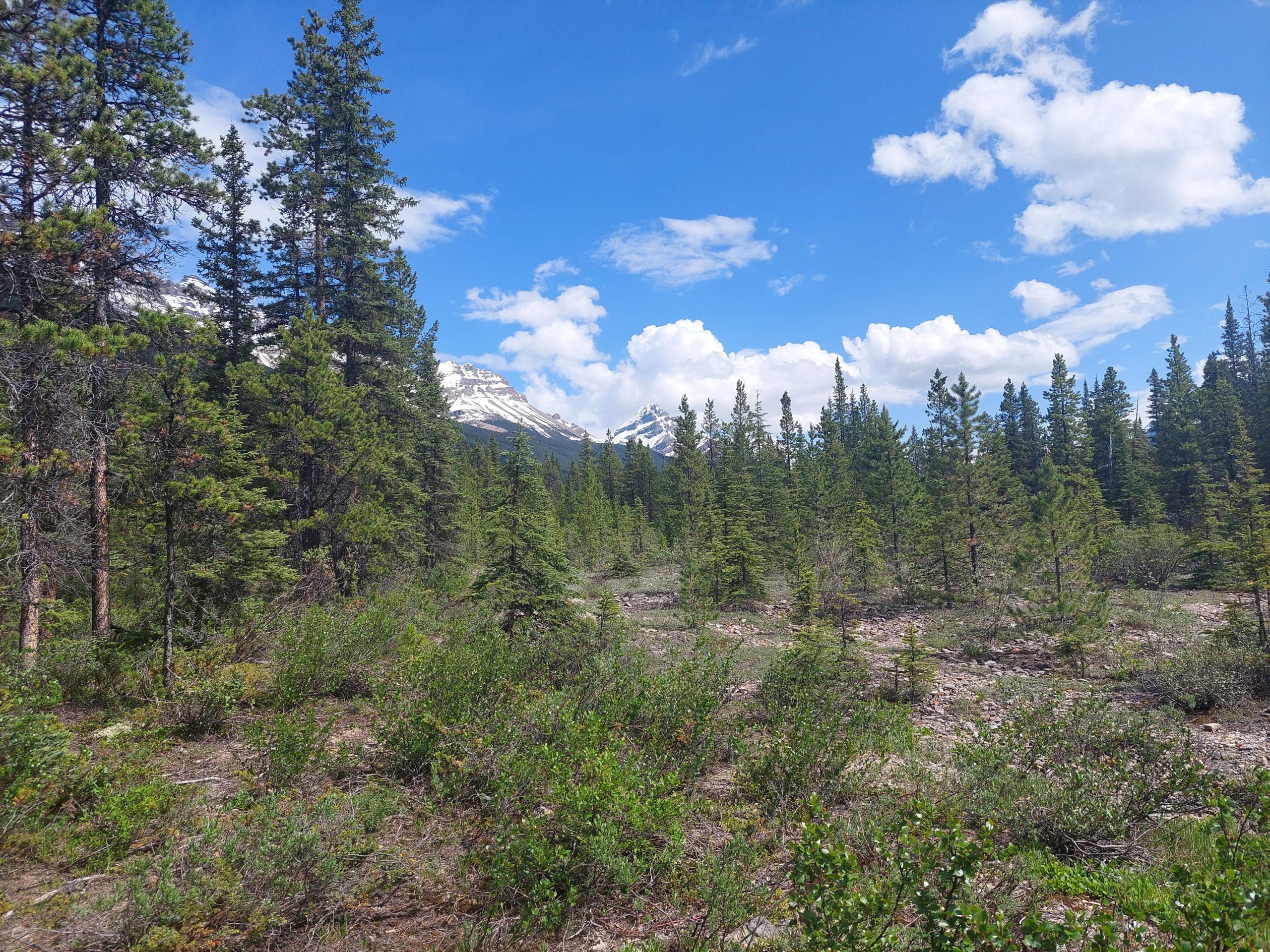
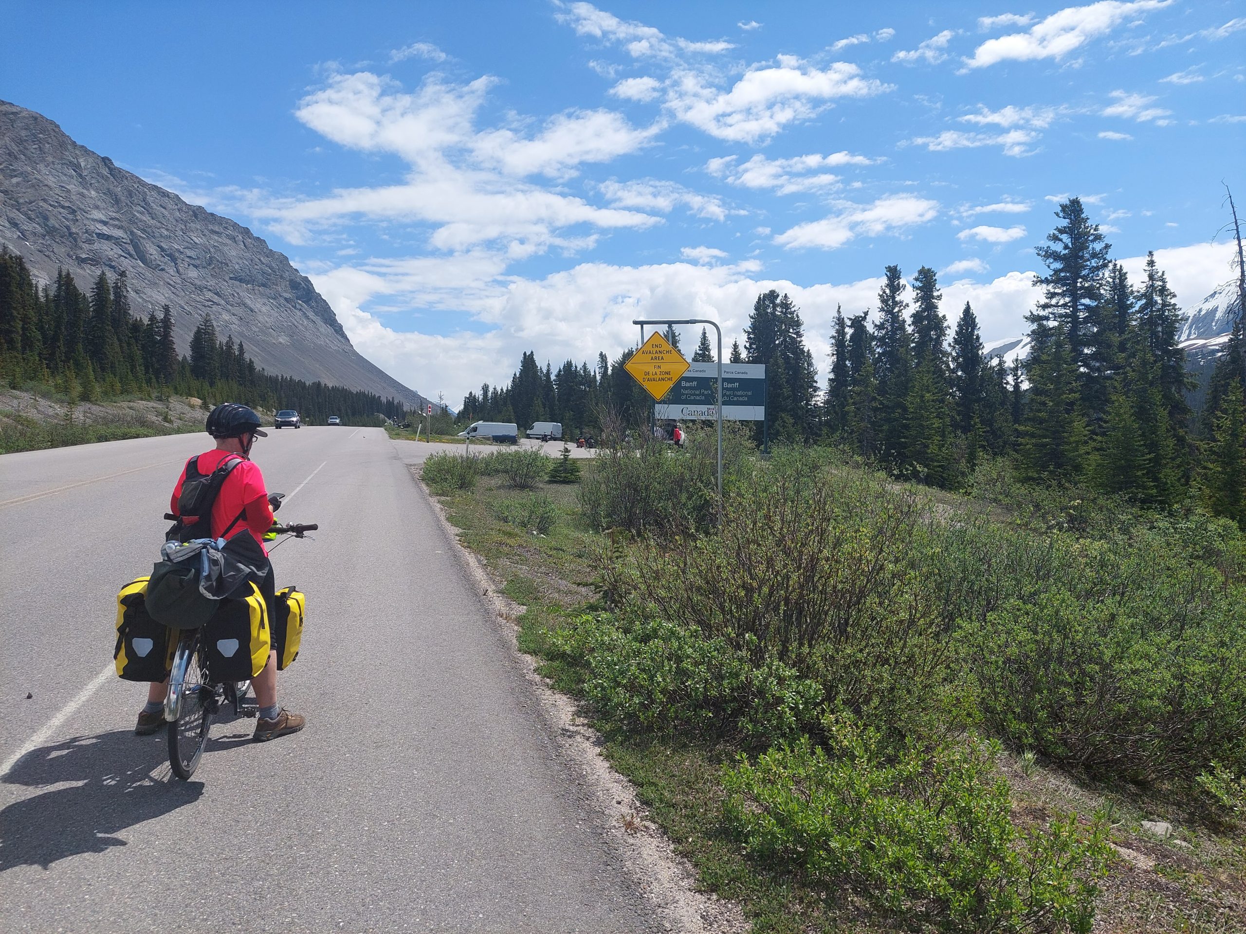
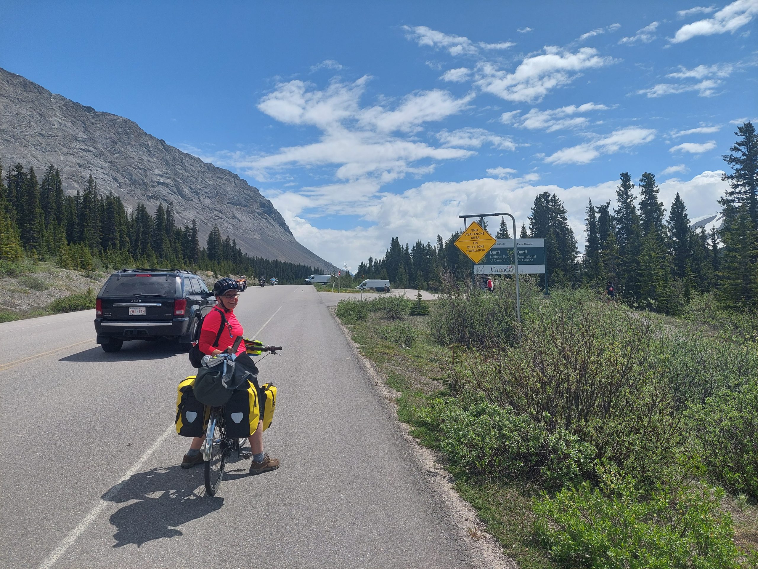
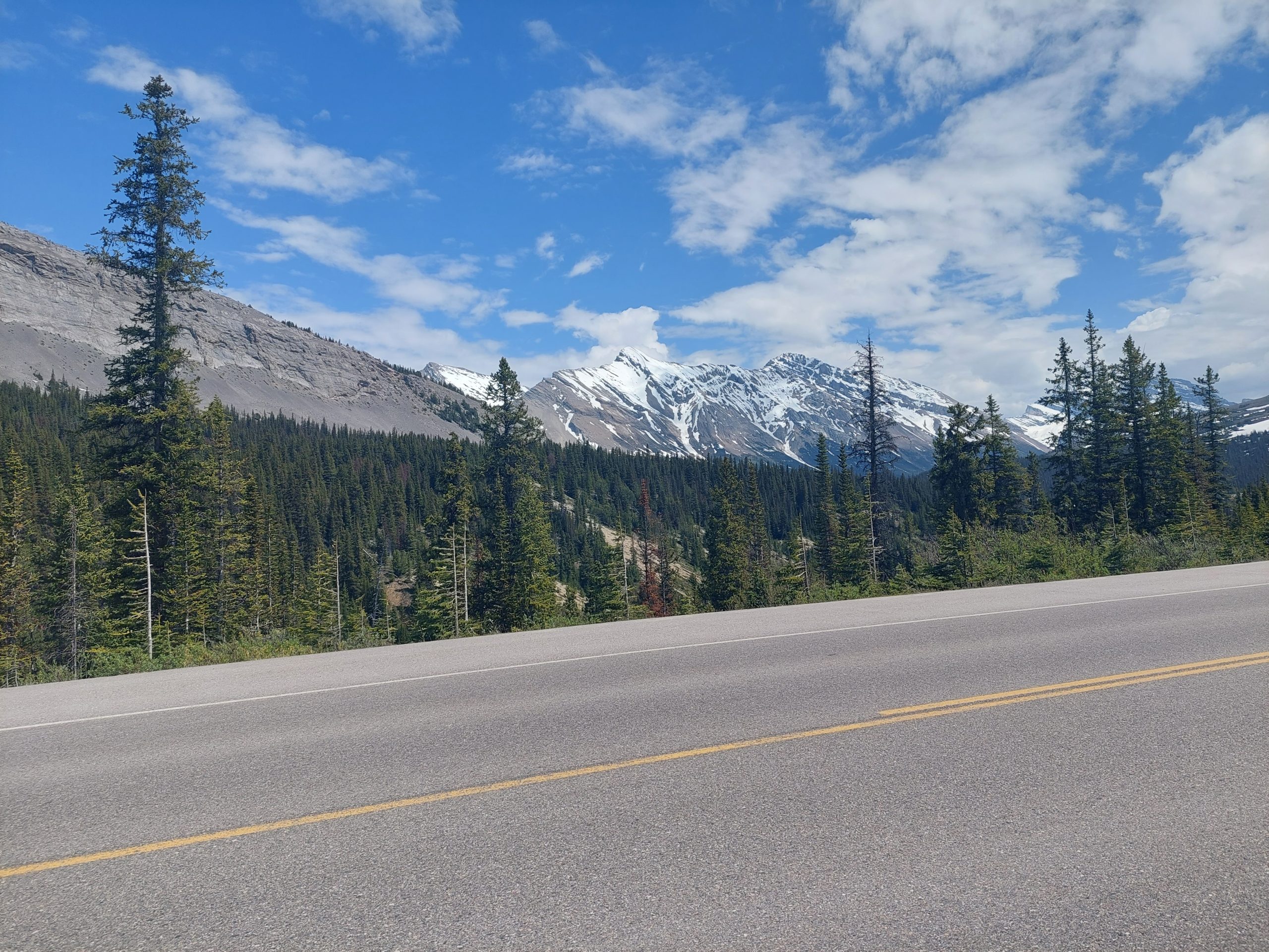
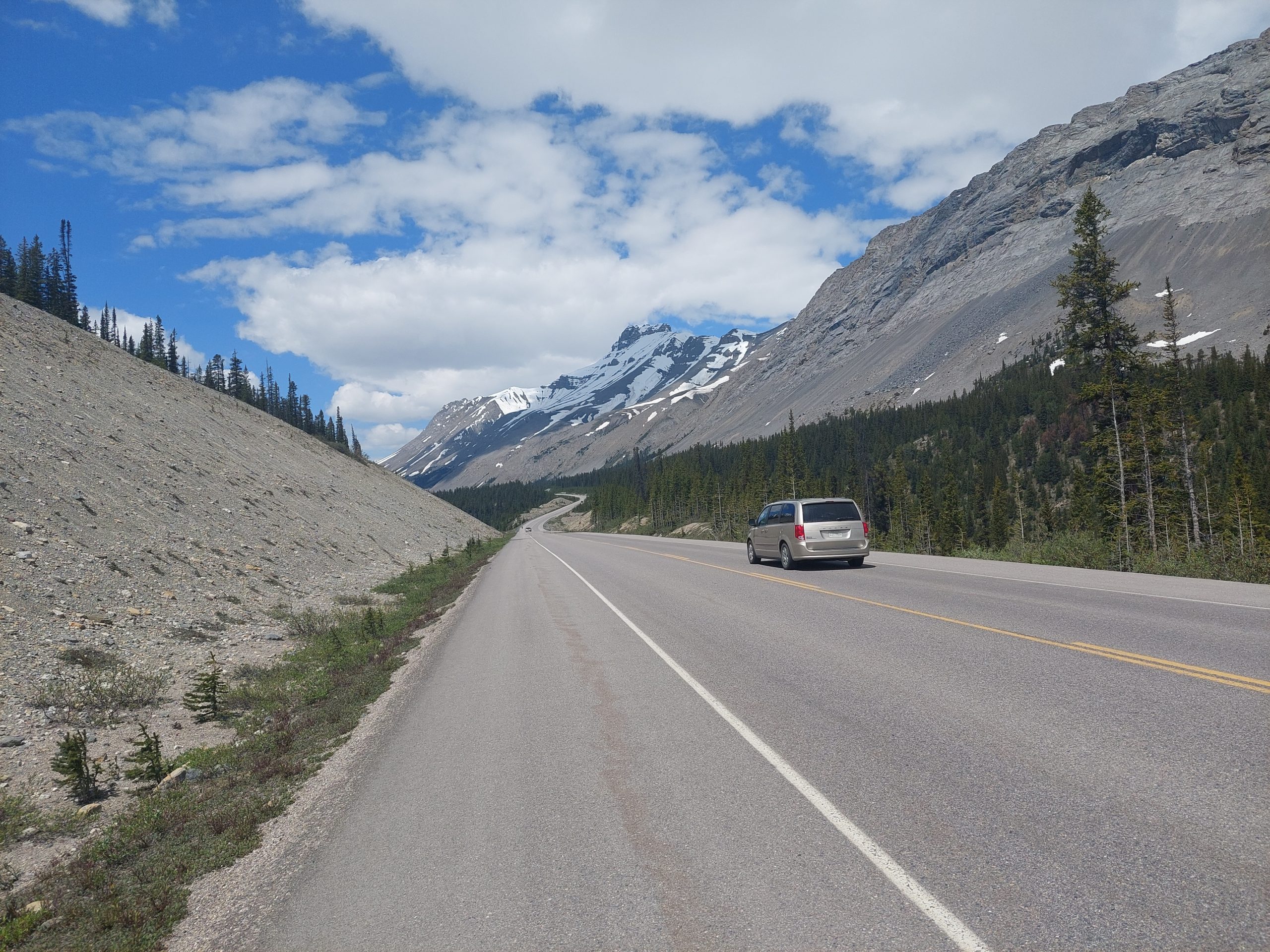
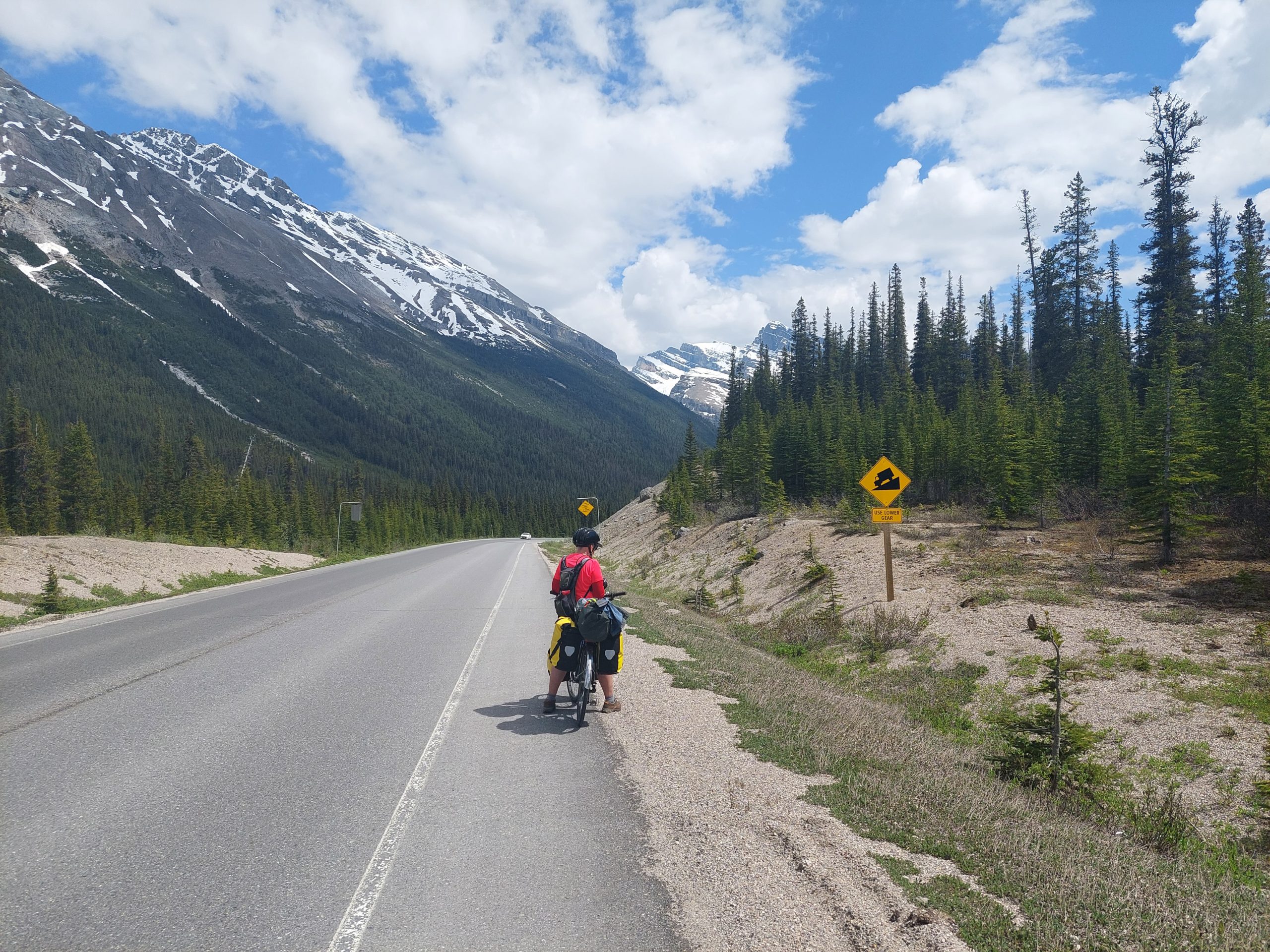
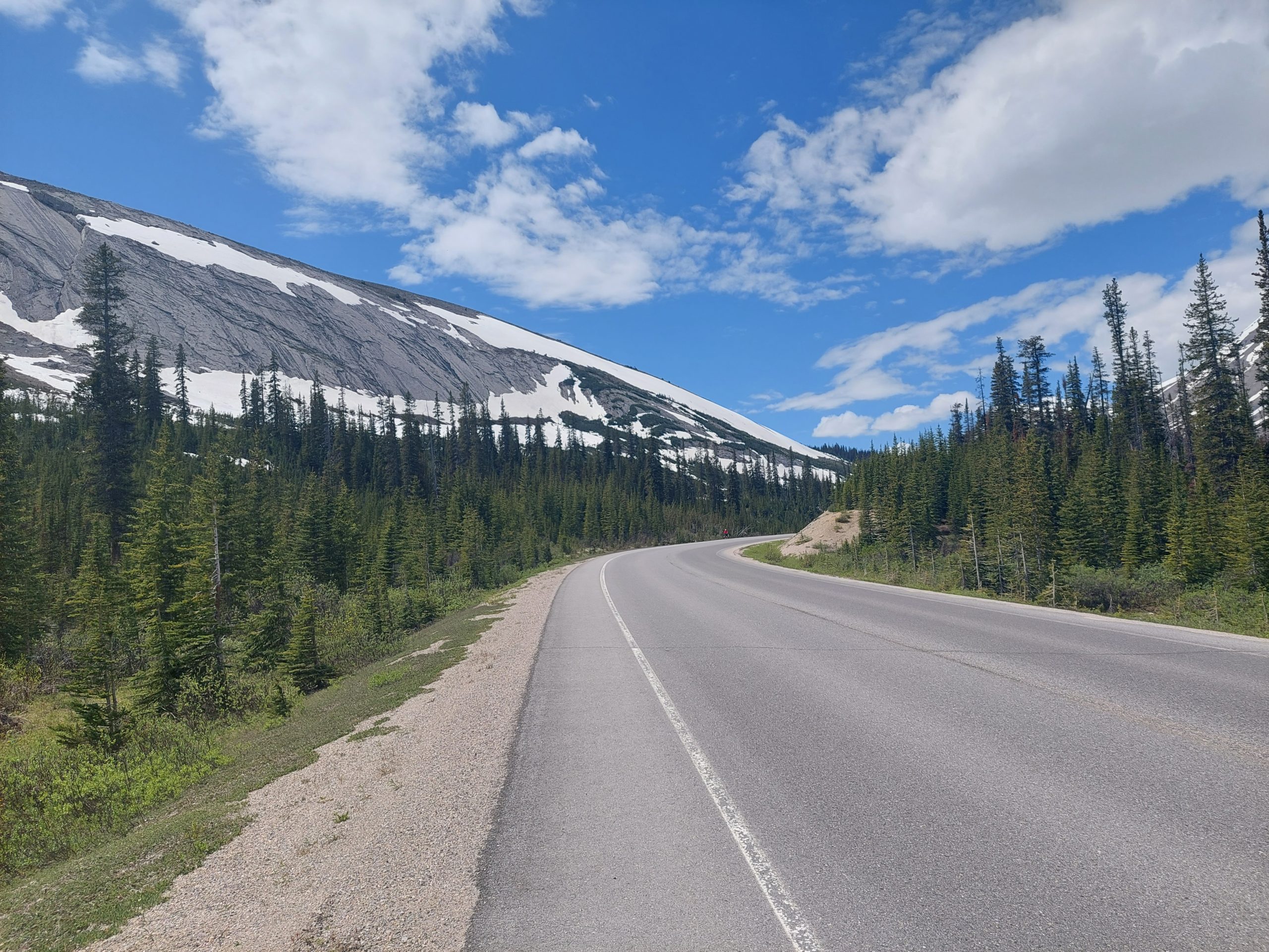
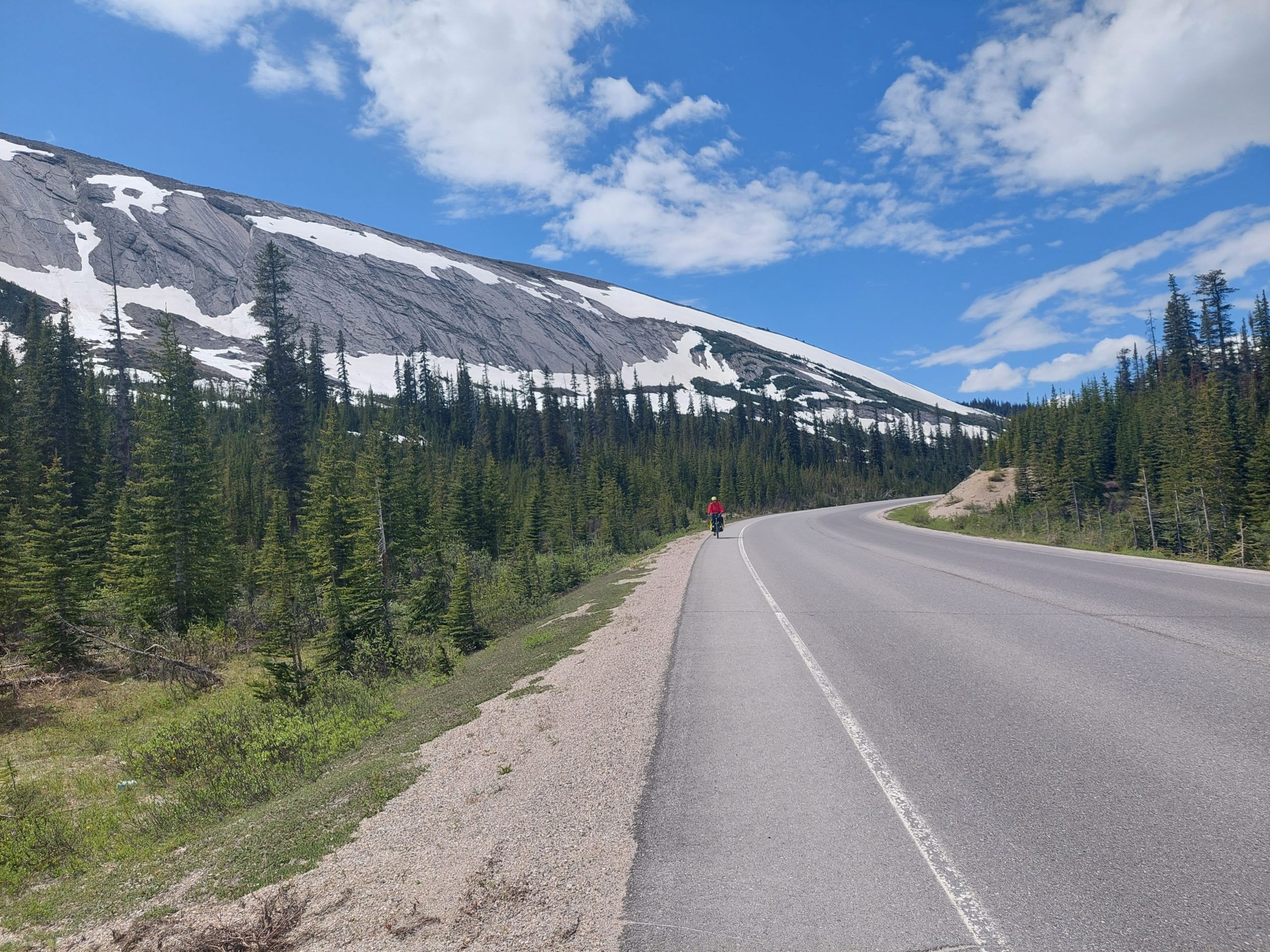
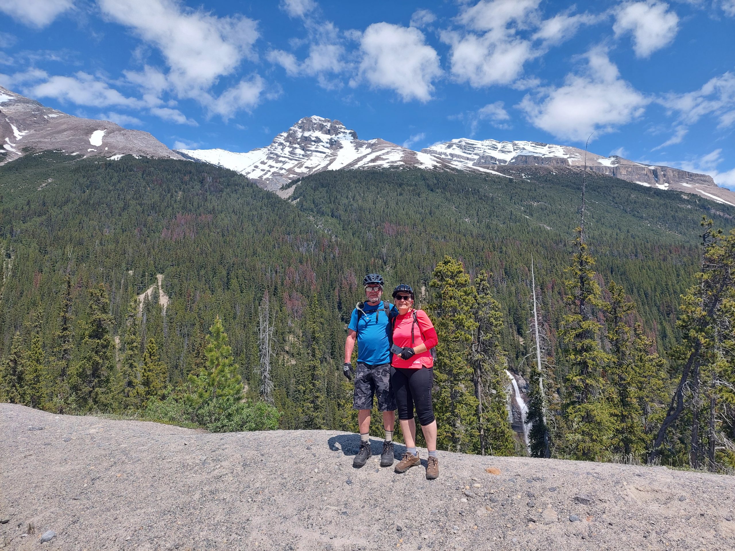
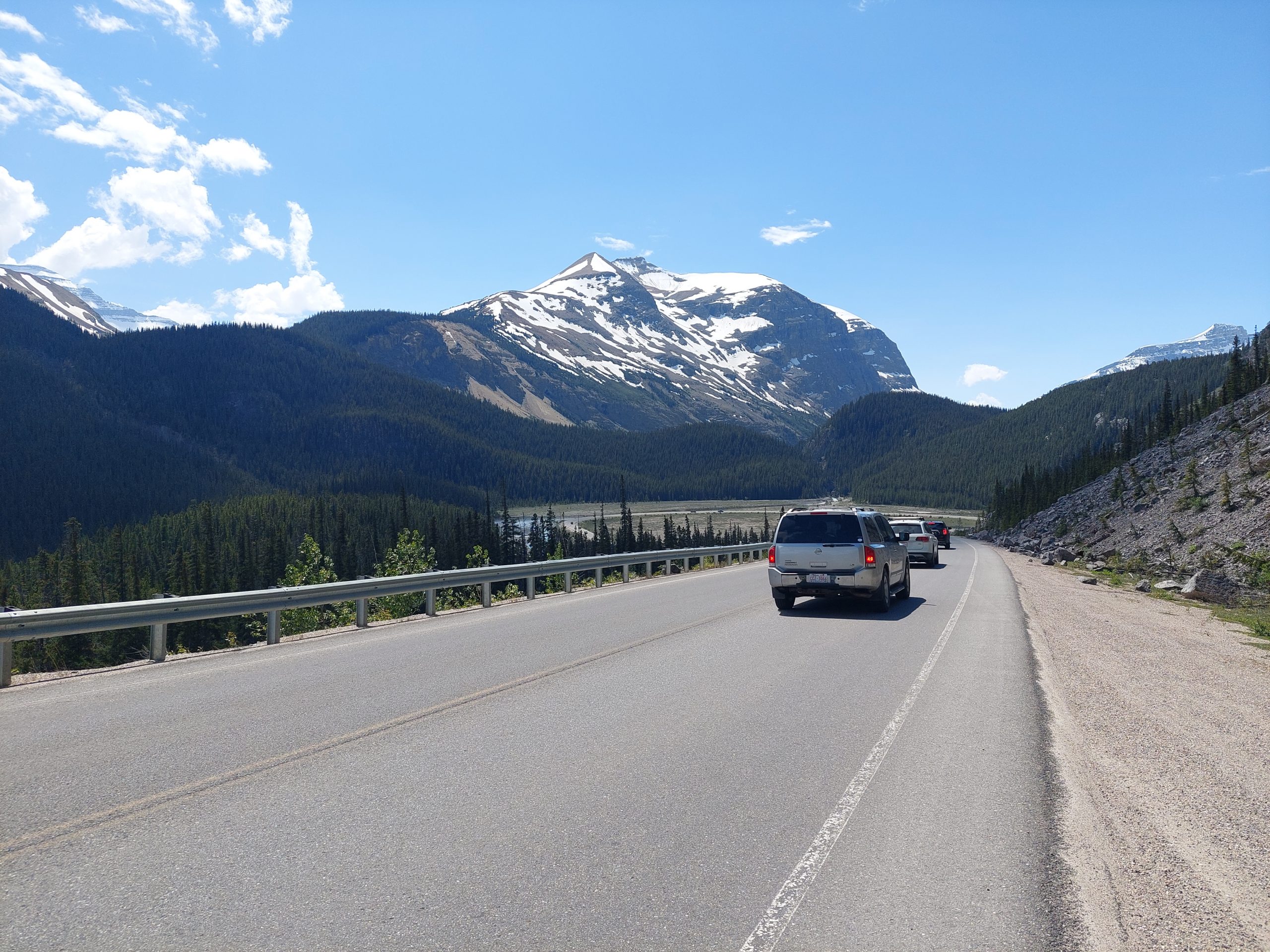
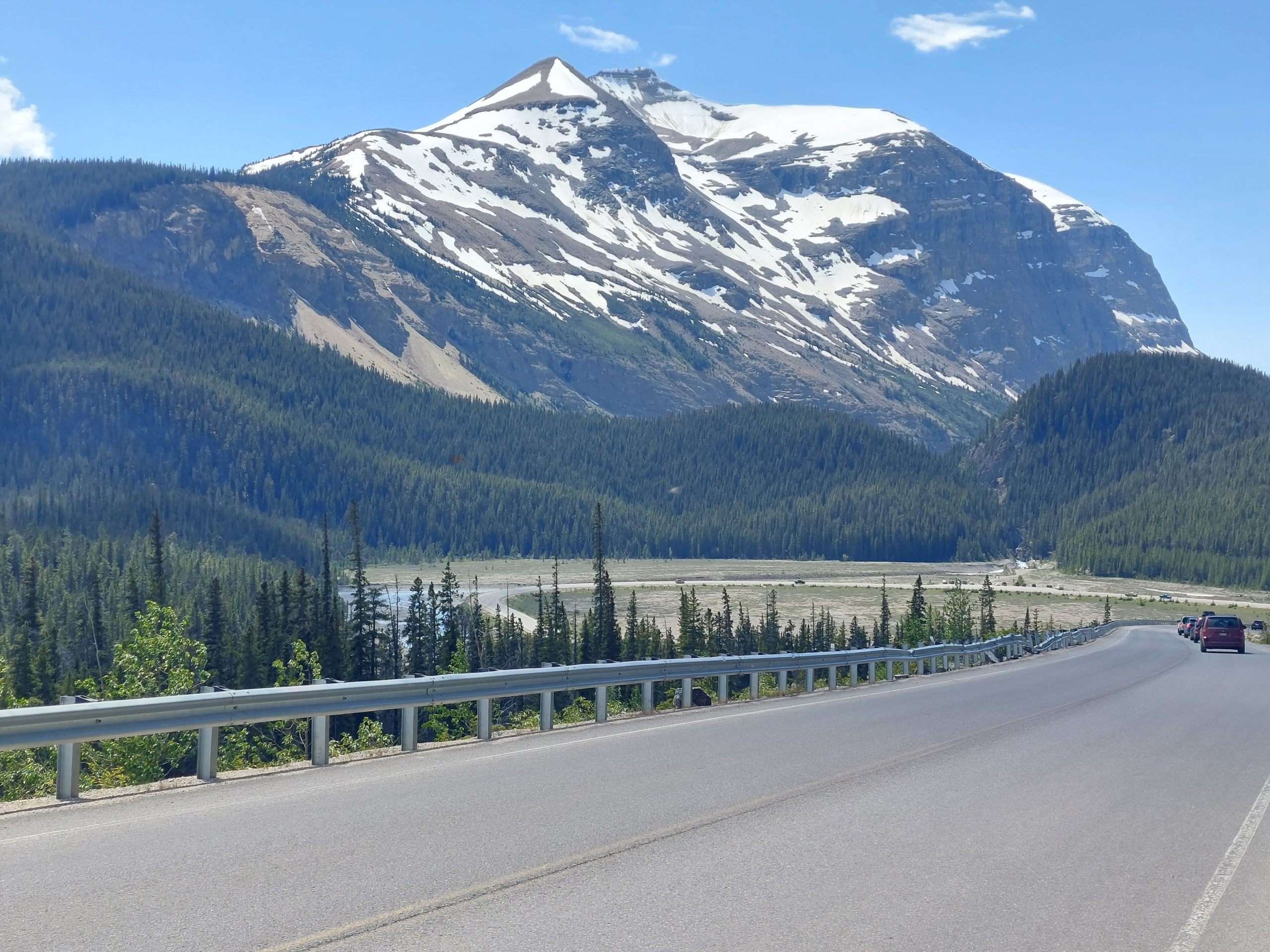
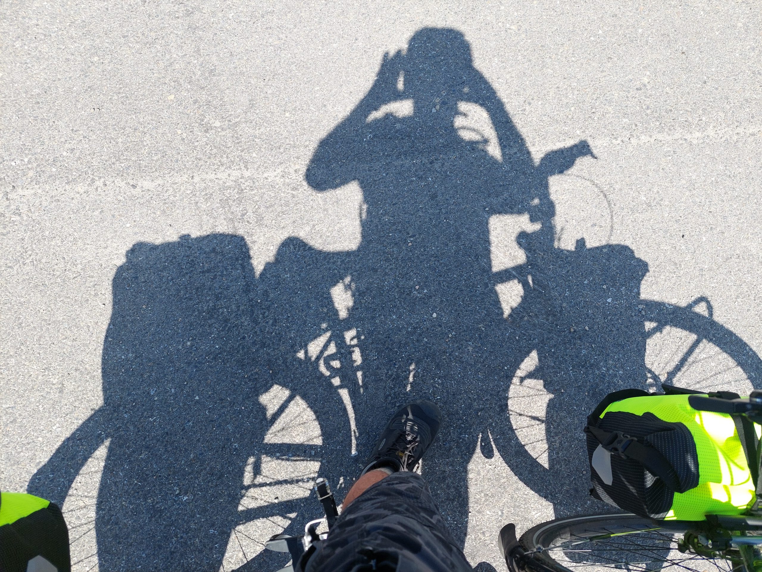
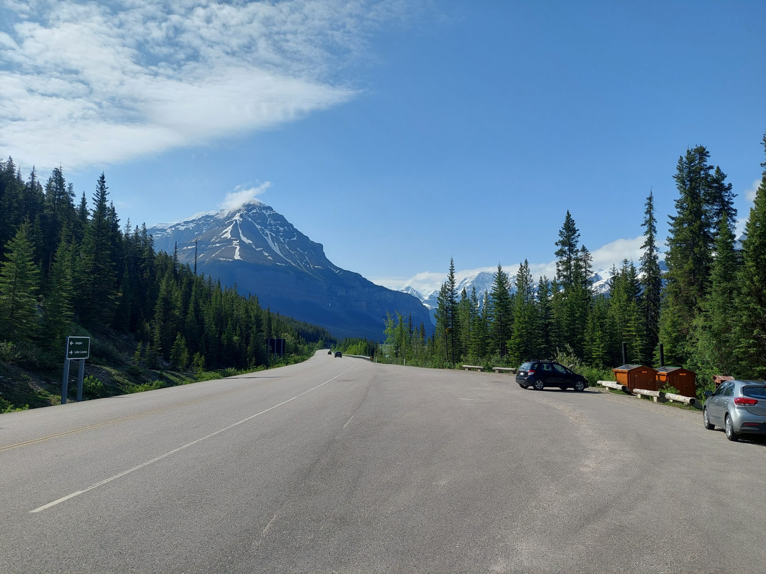
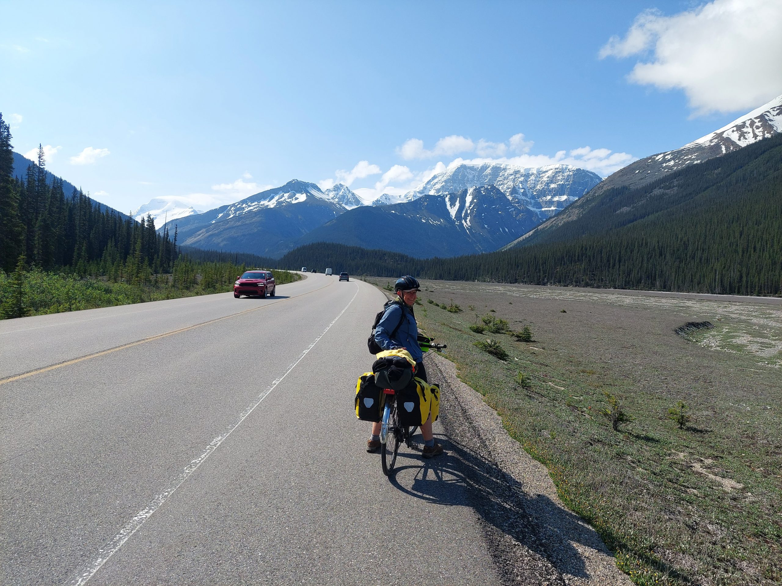
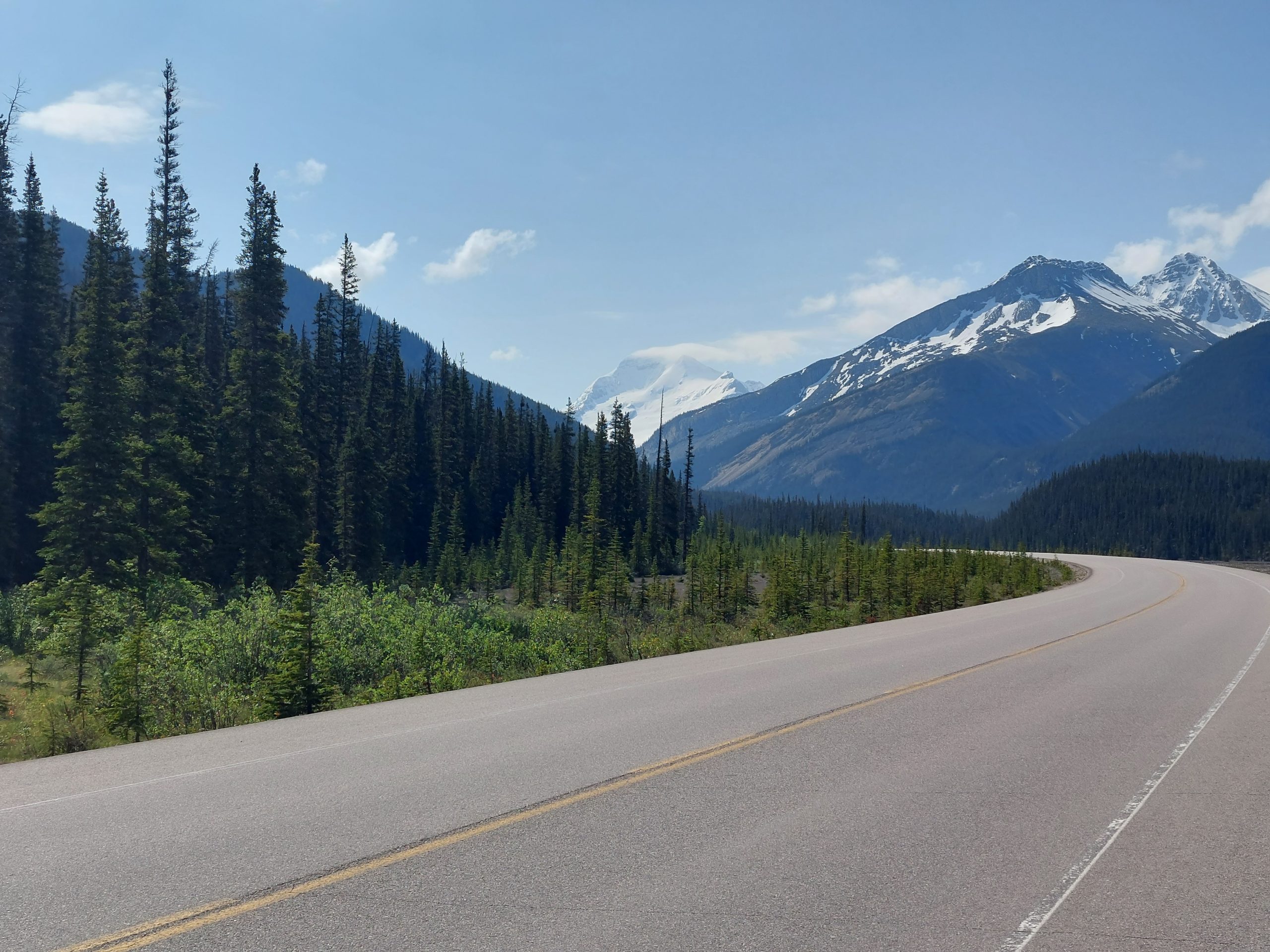
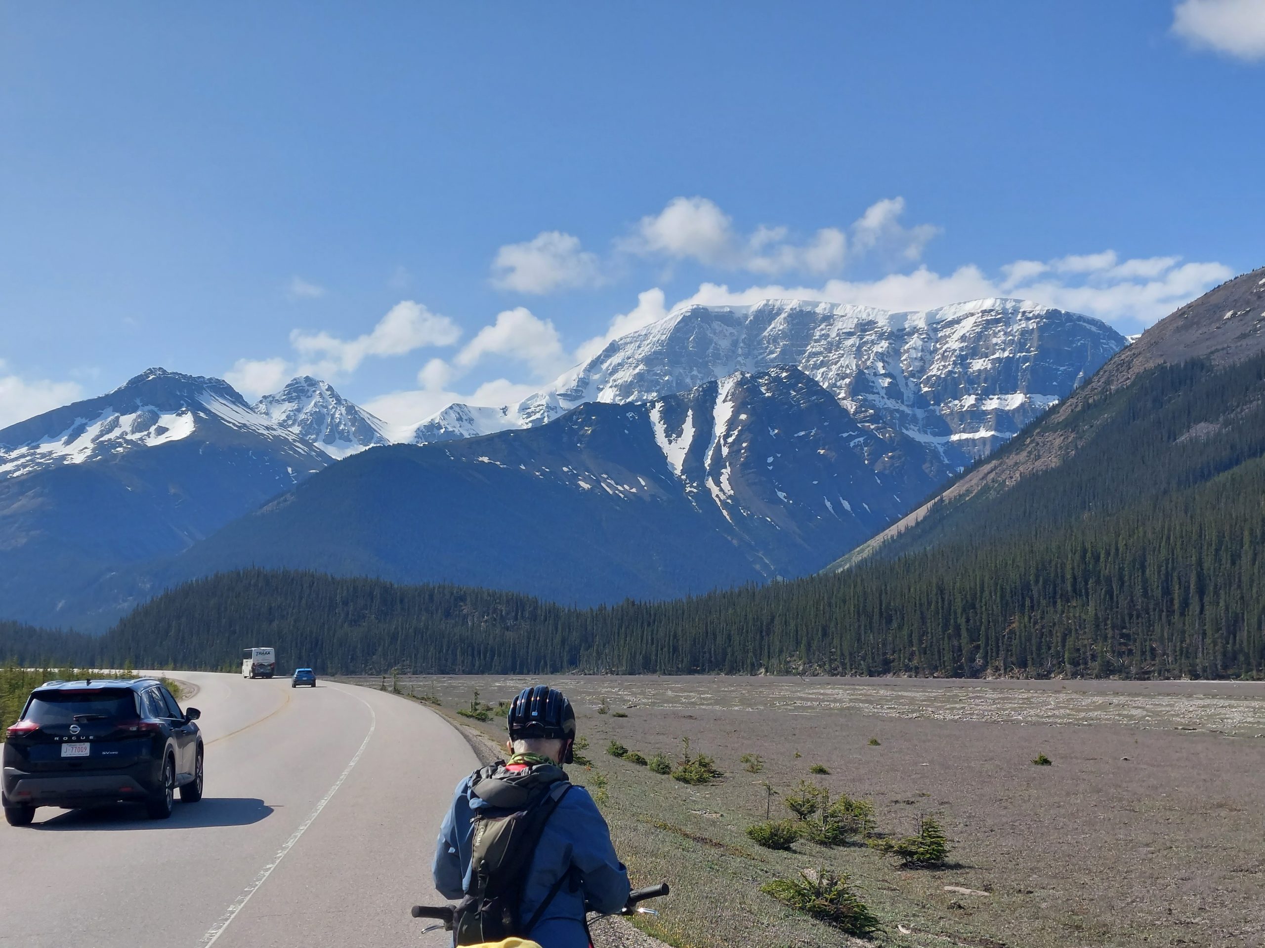
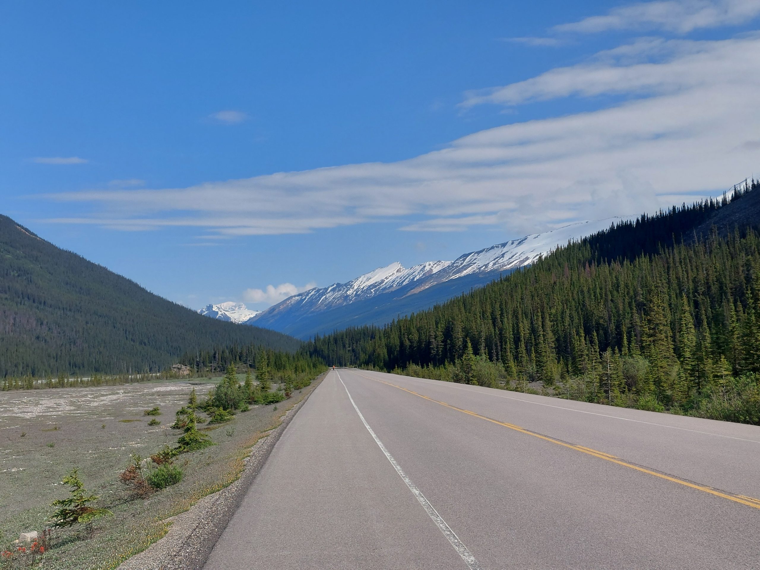
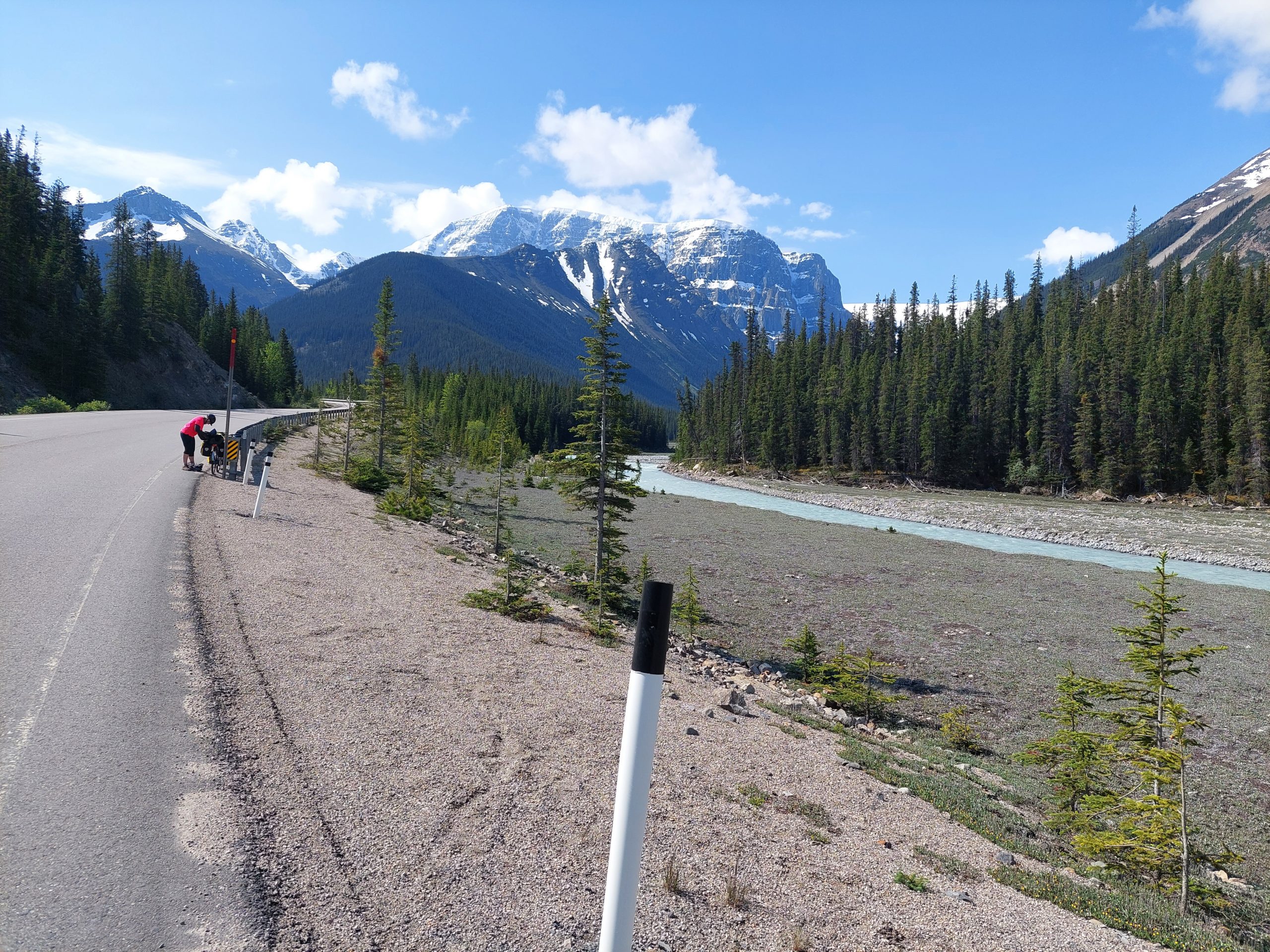
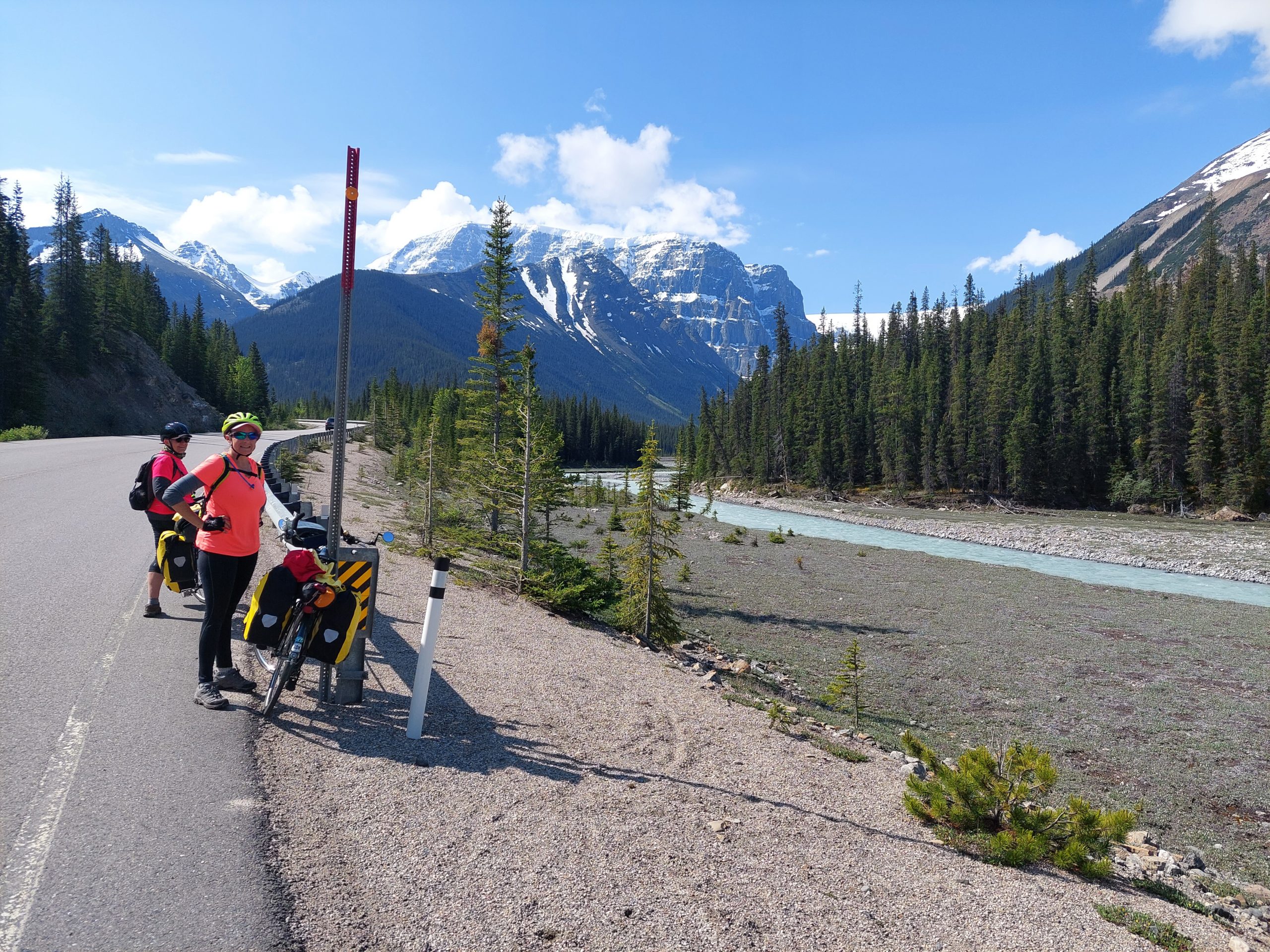
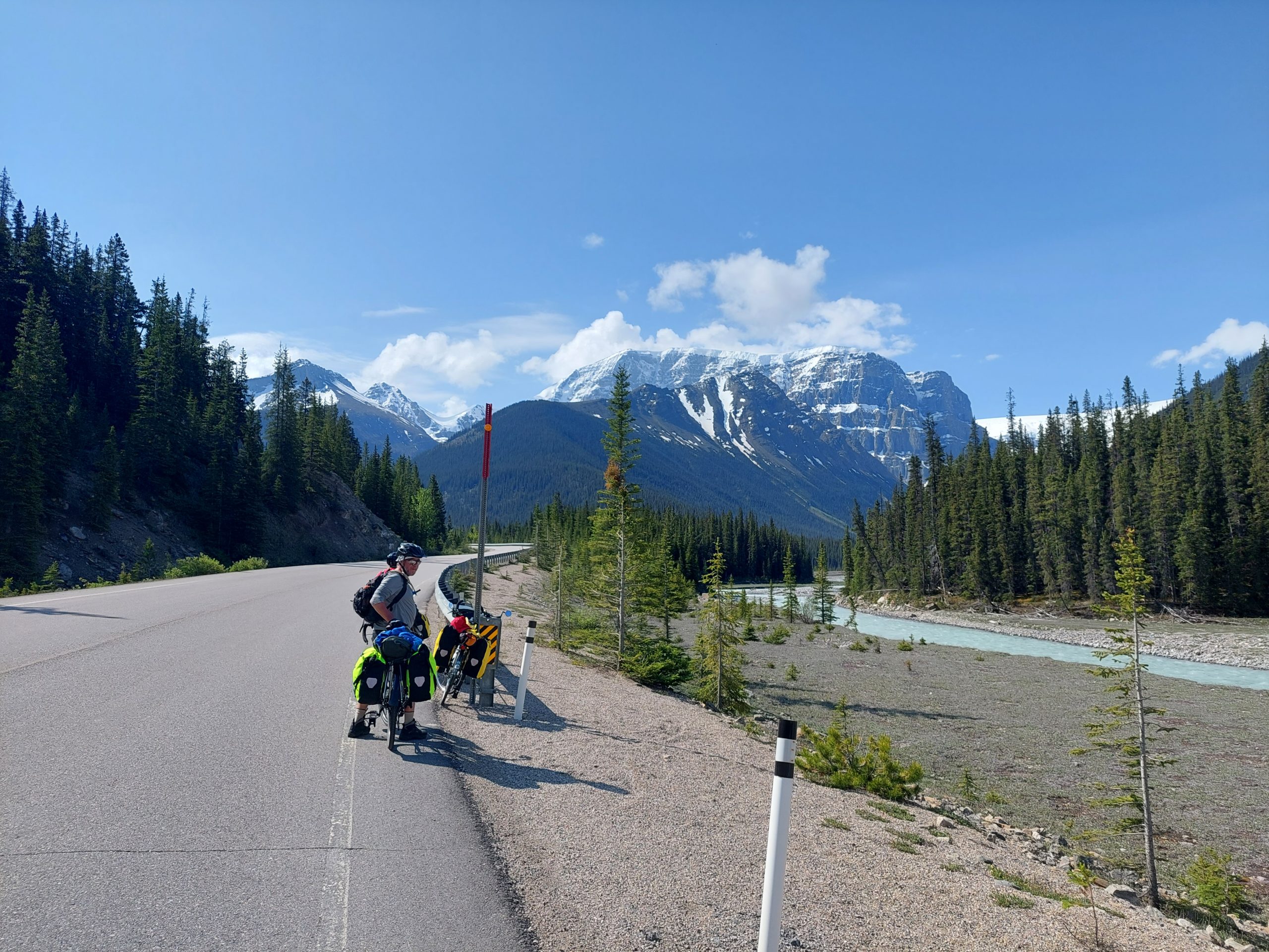
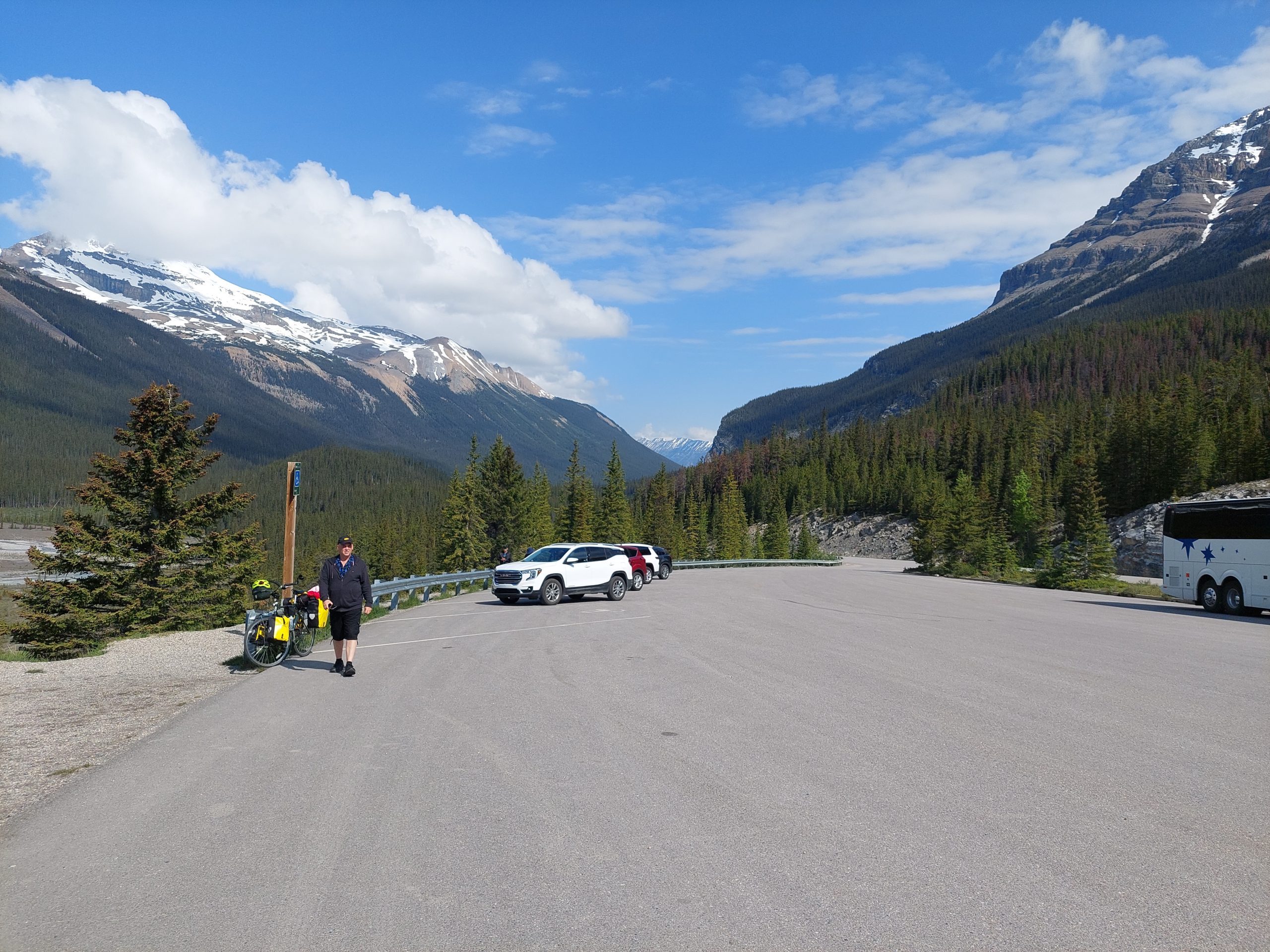
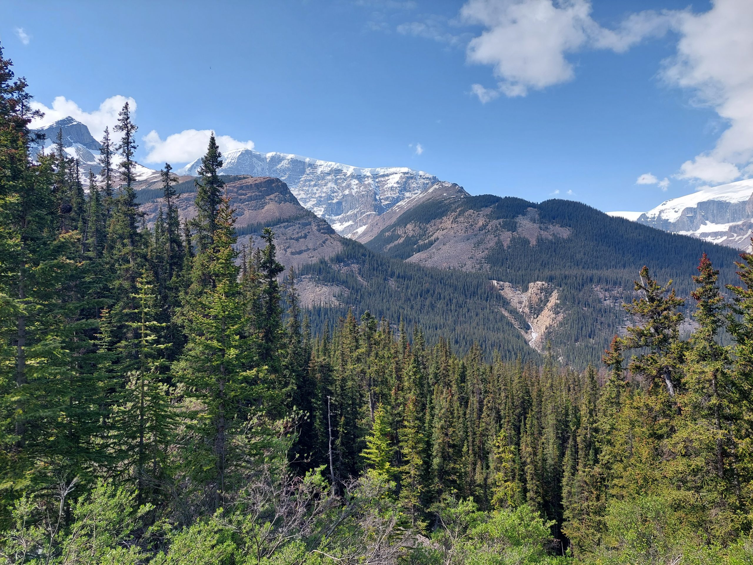
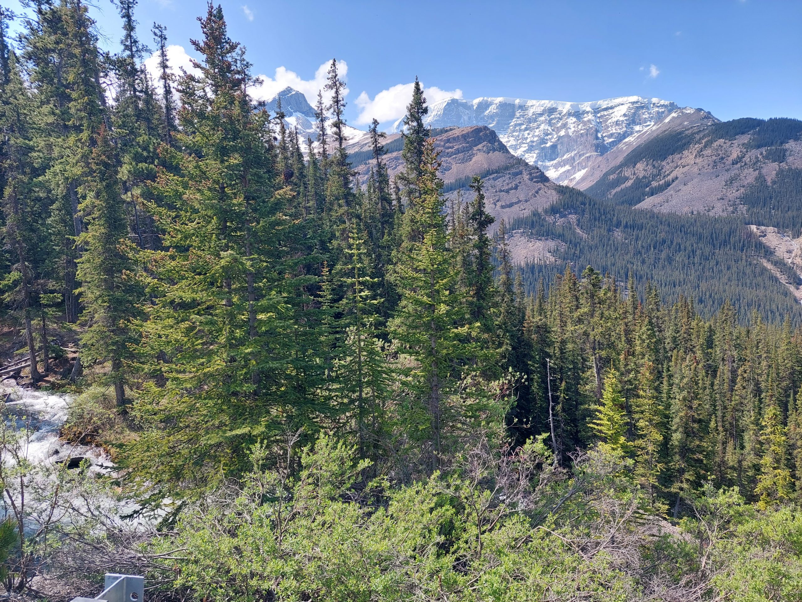
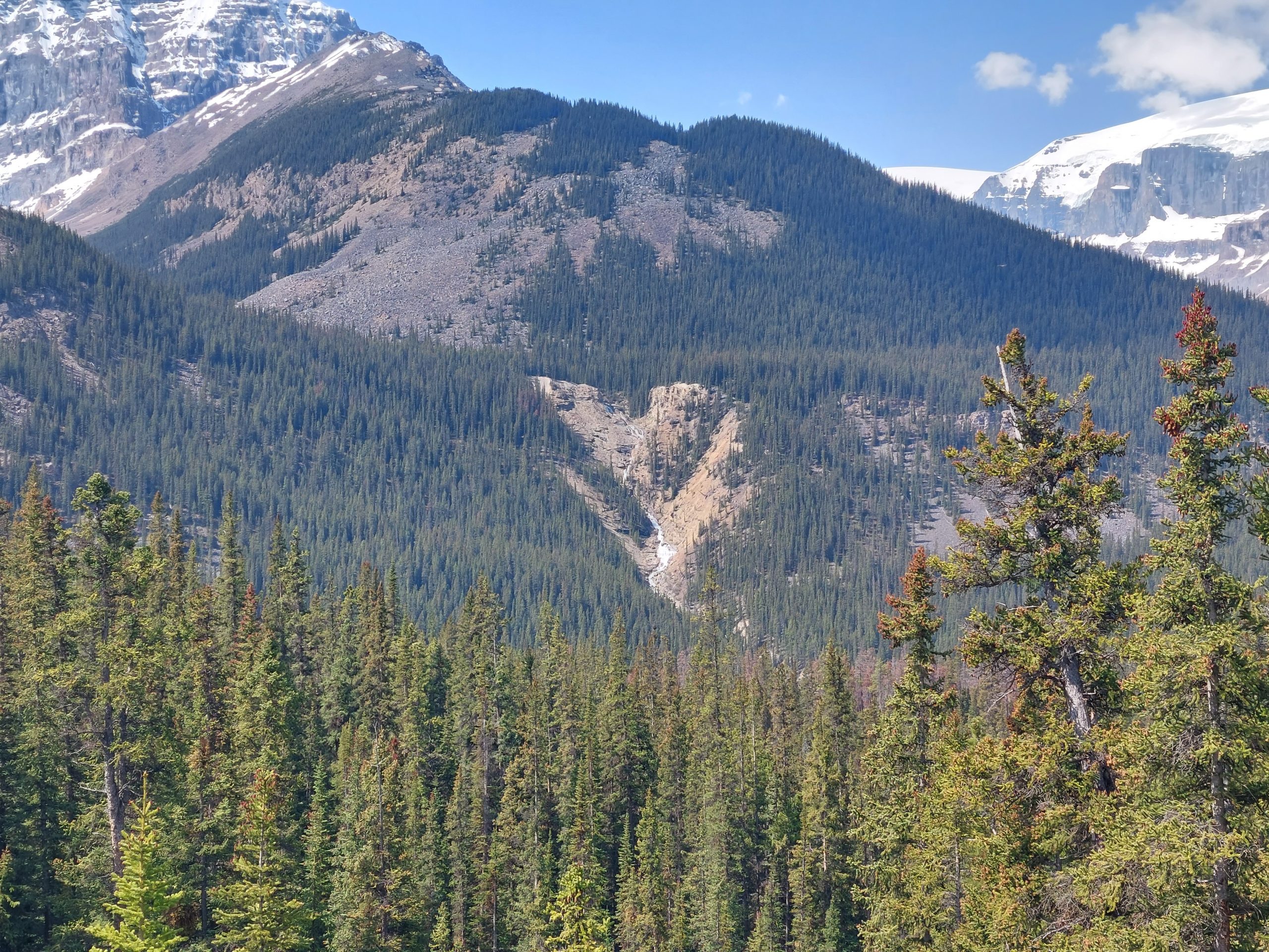
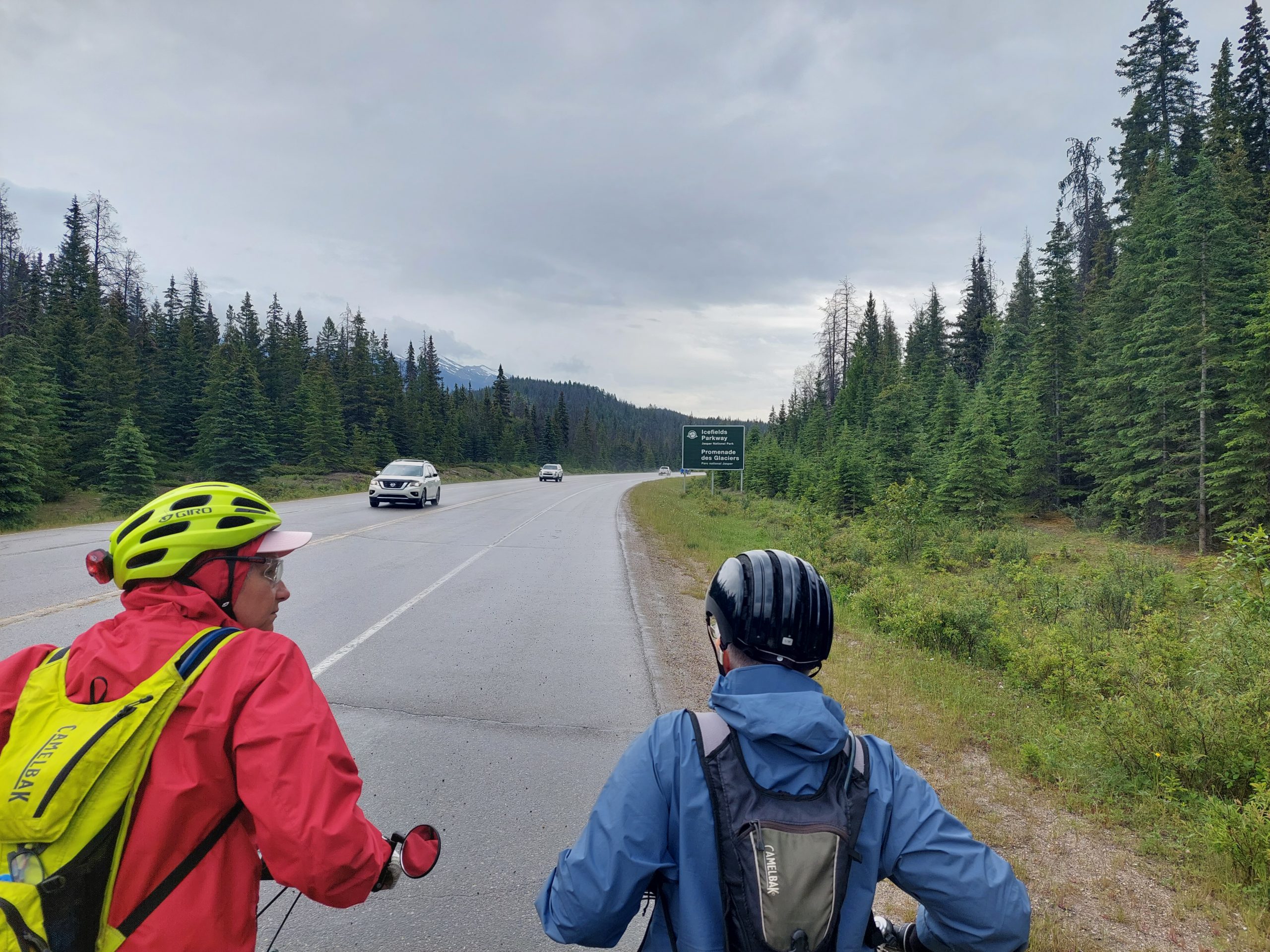
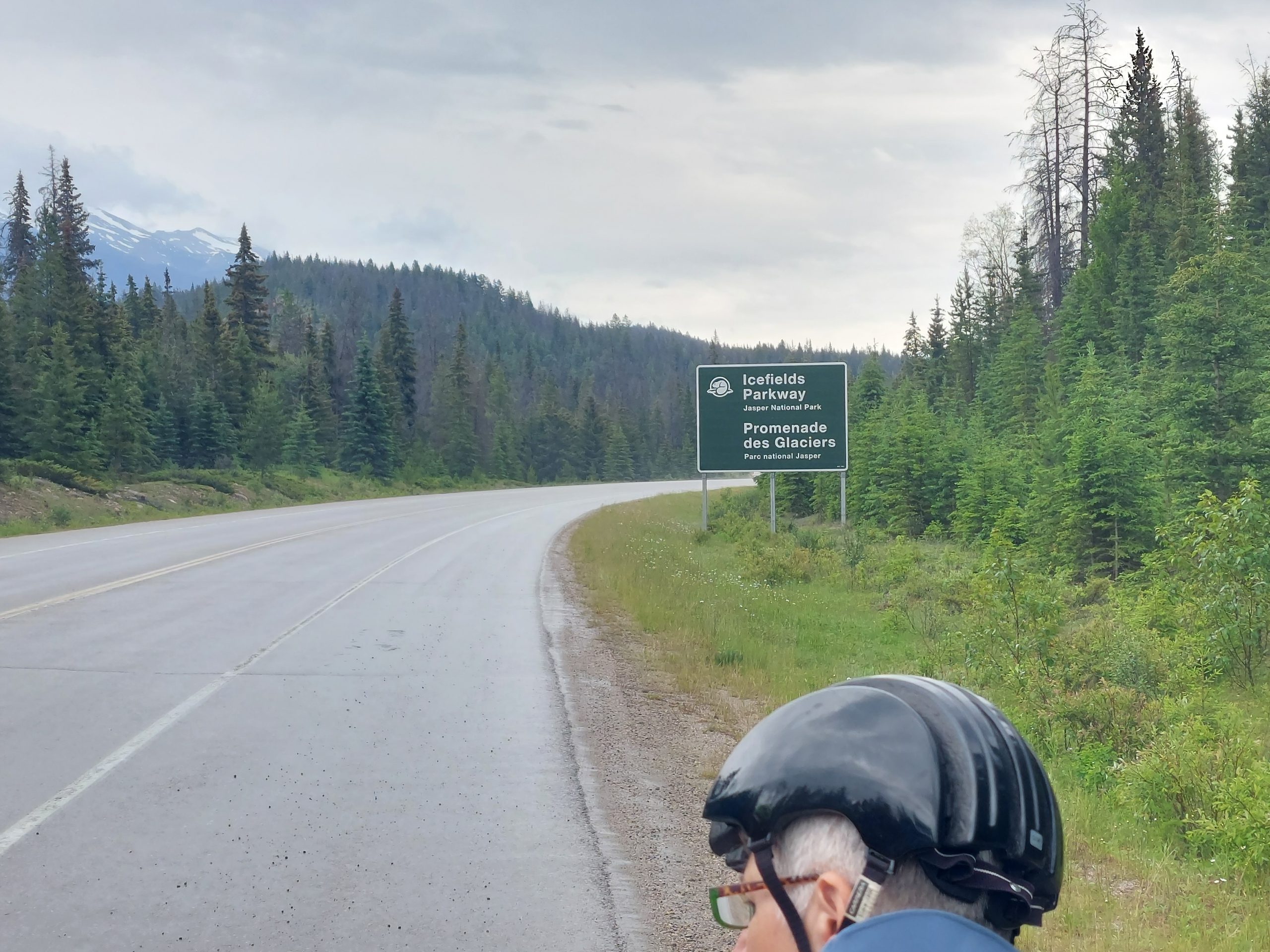
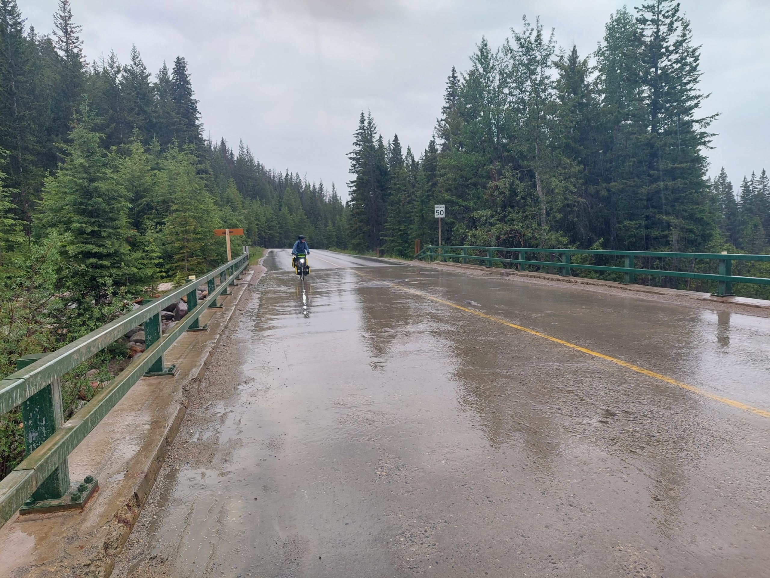
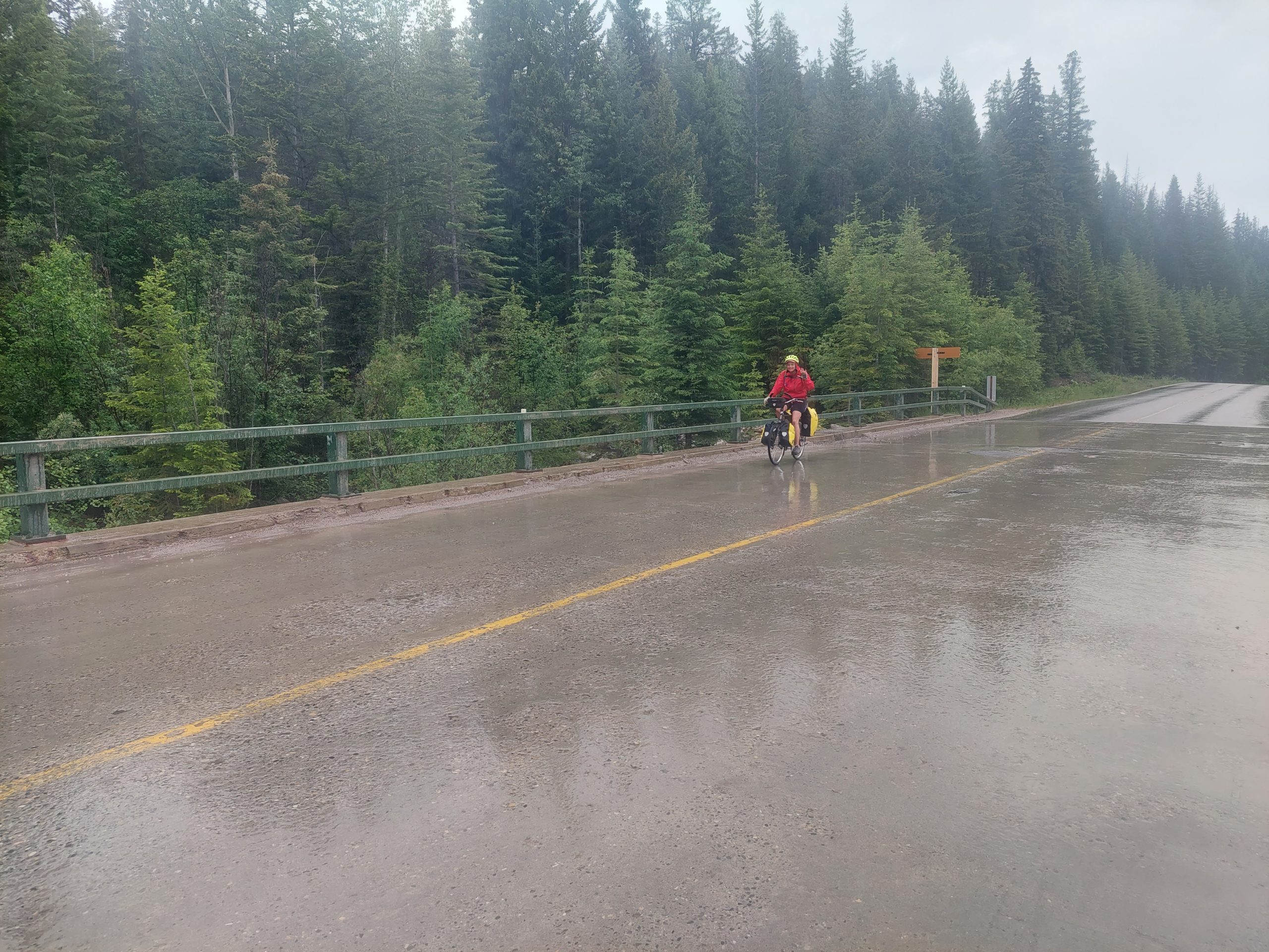
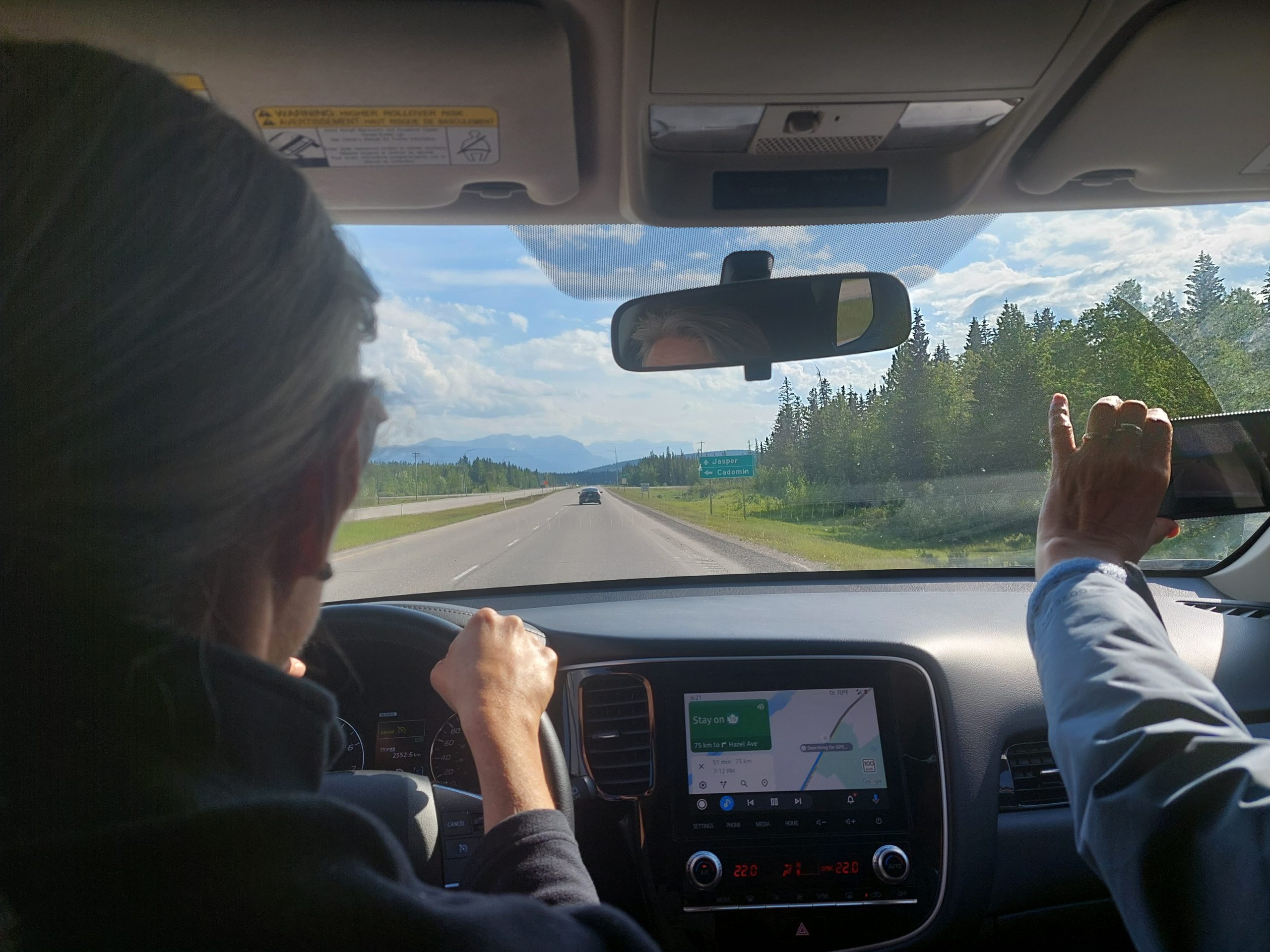
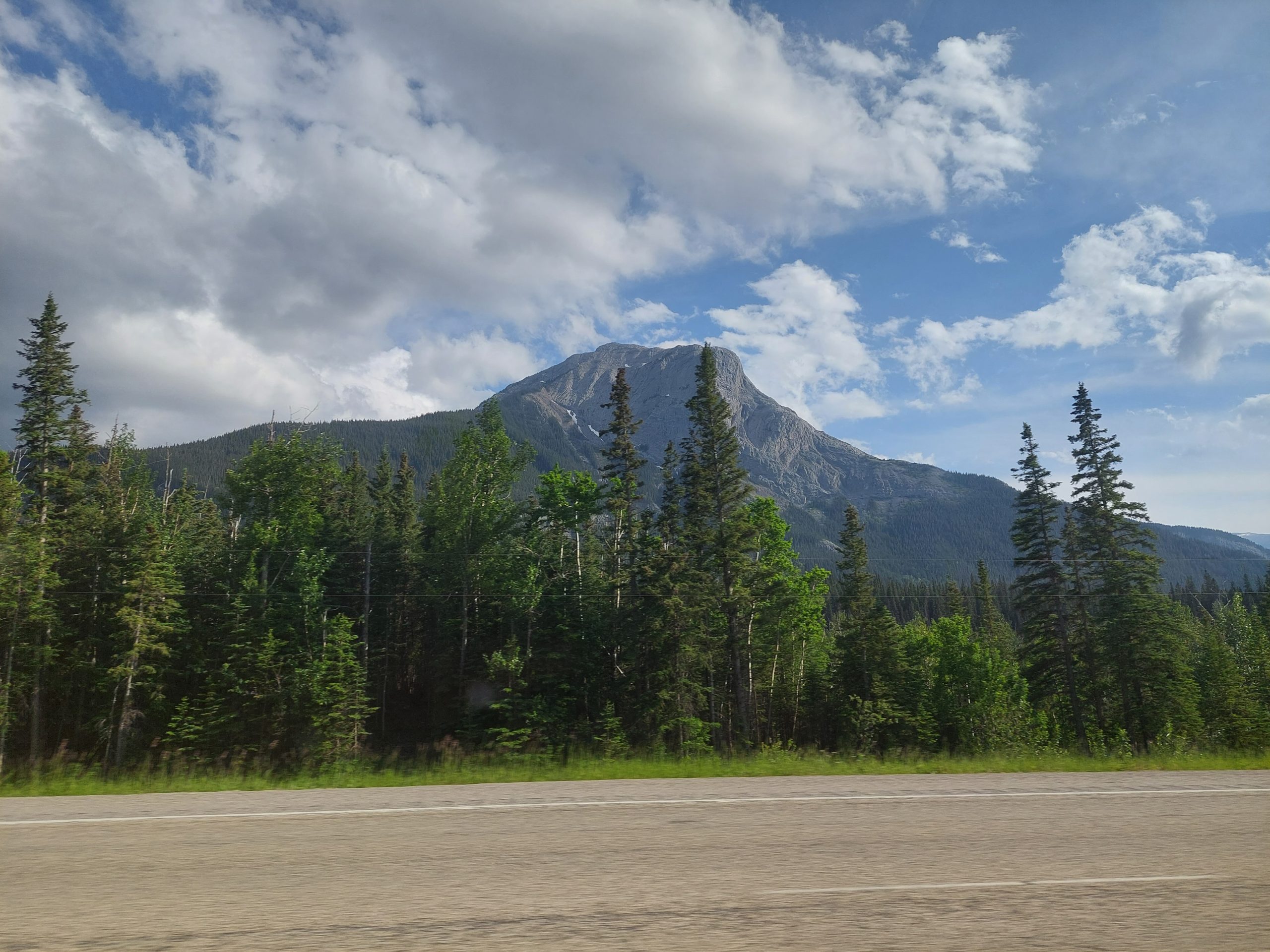
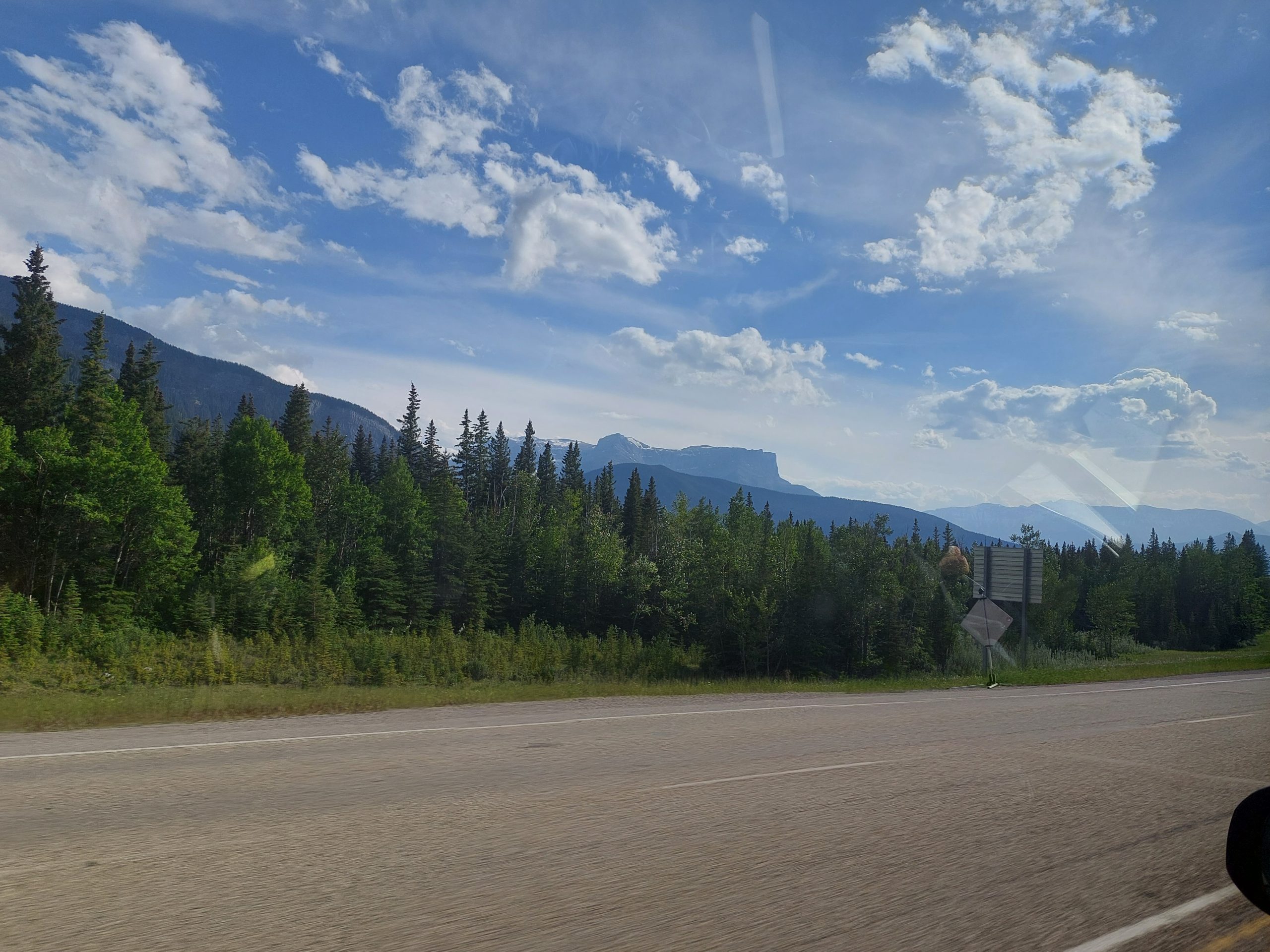
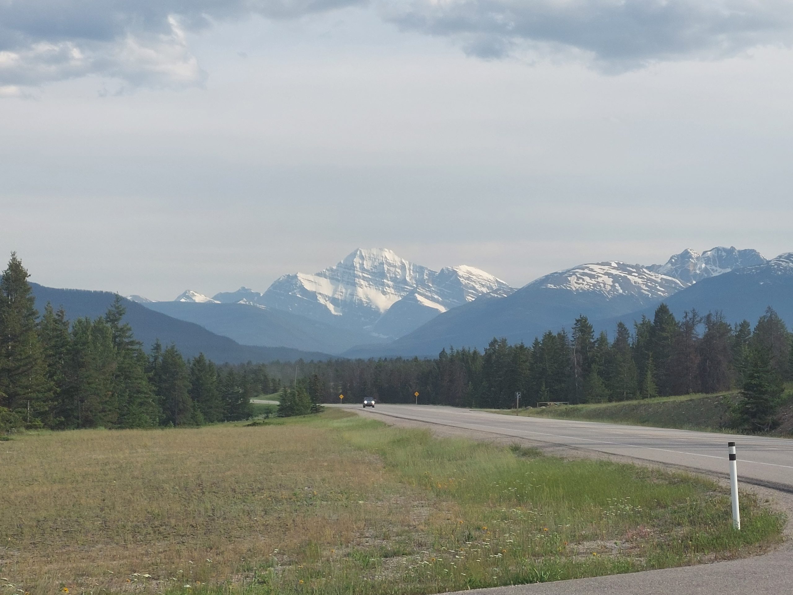
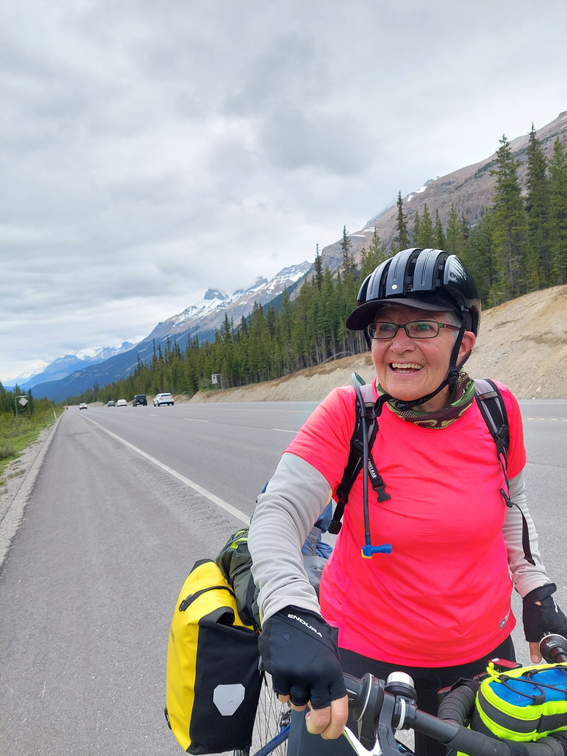
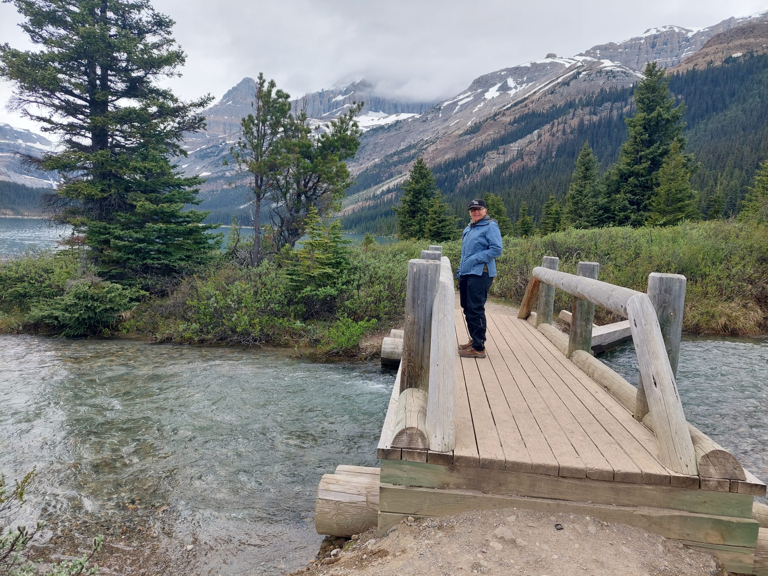
We were getting pretty good with our routine by this point: we got up, ate, packed our stuff, and once again hit the road. Today would be the climb over Bow Pass, the last major climb of our trip.
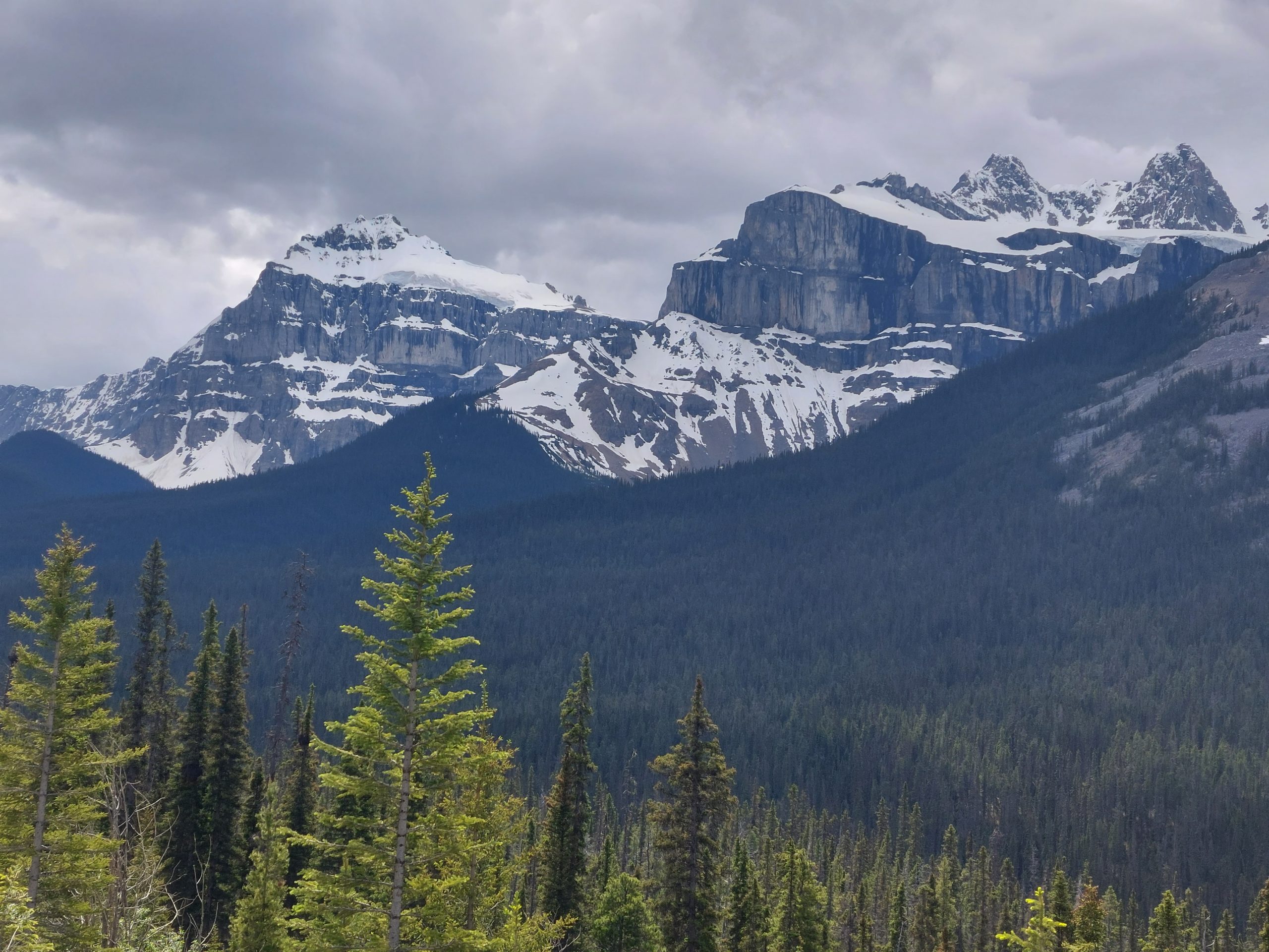
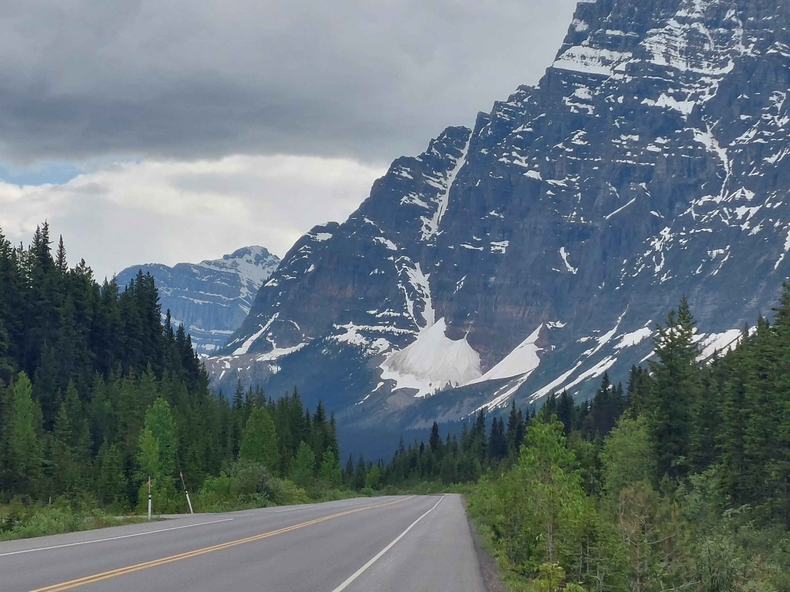
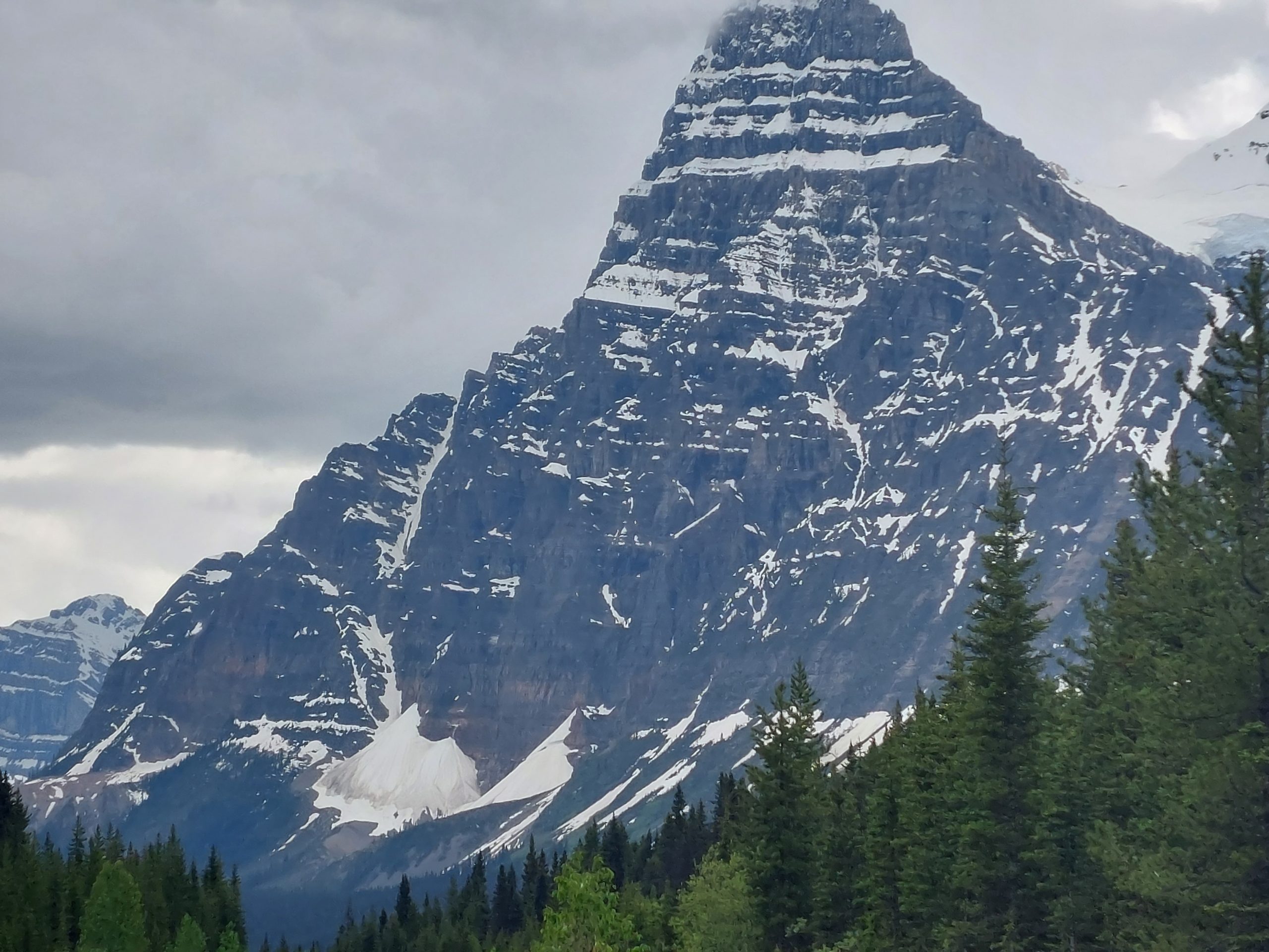
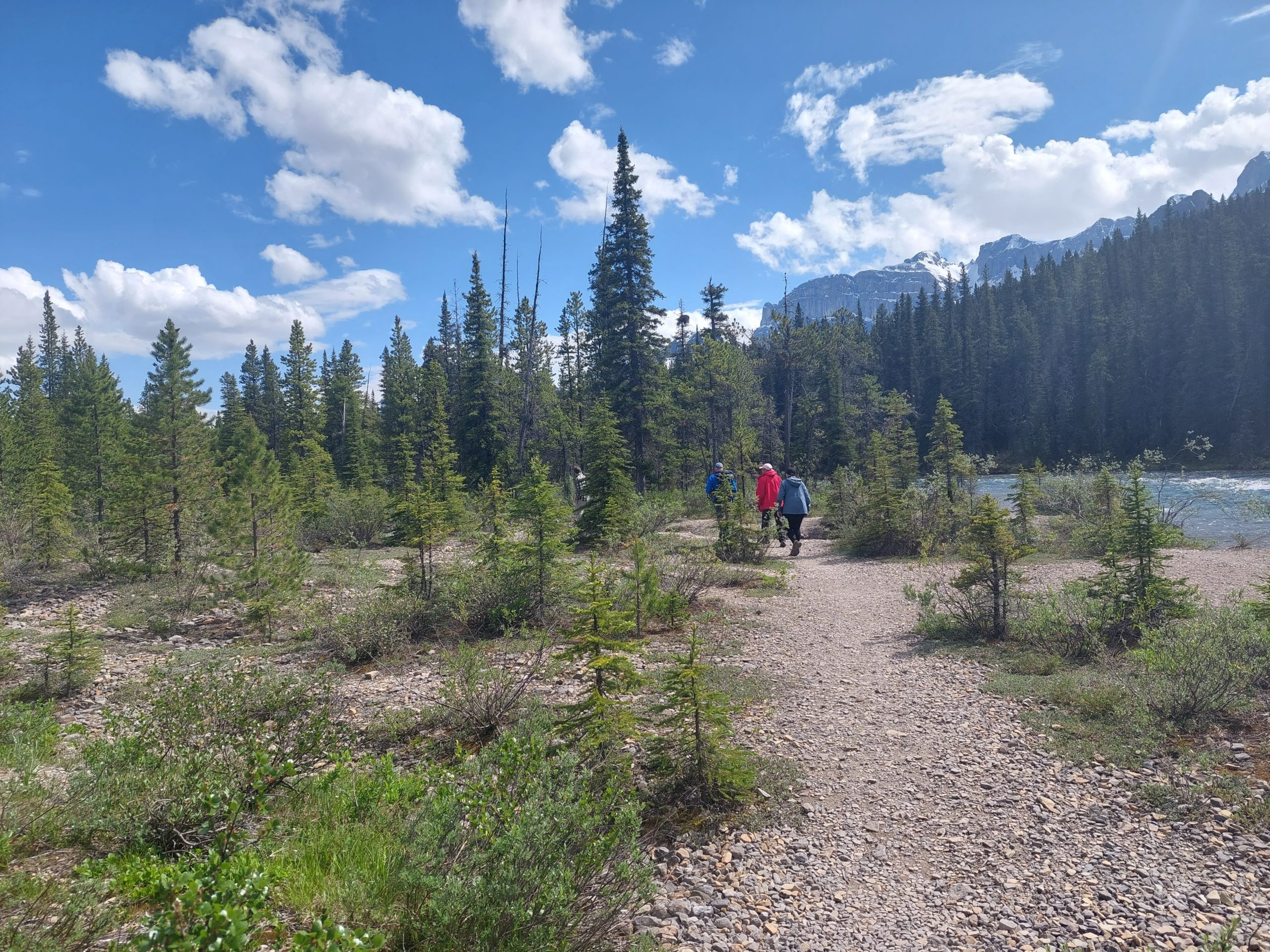
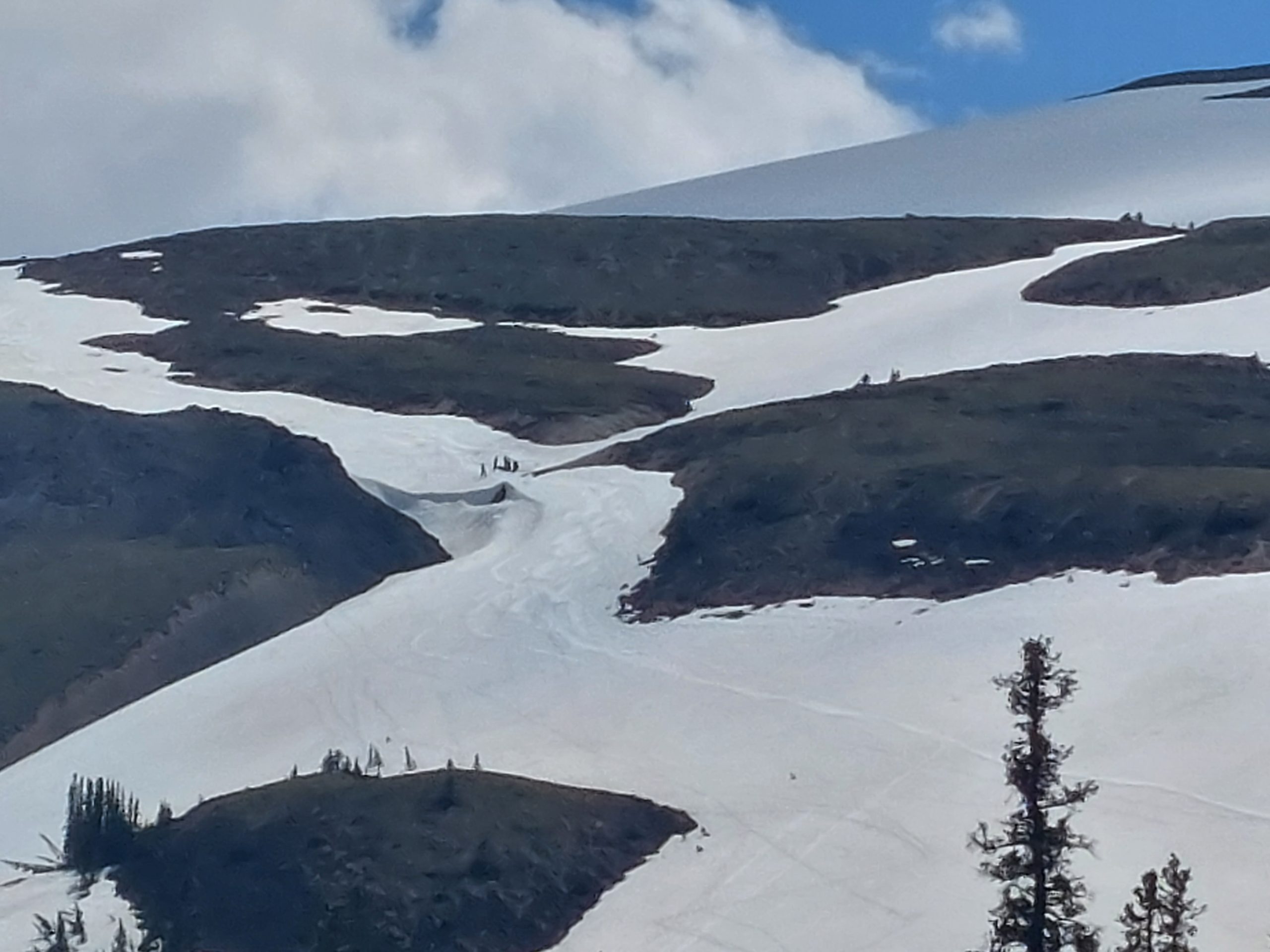
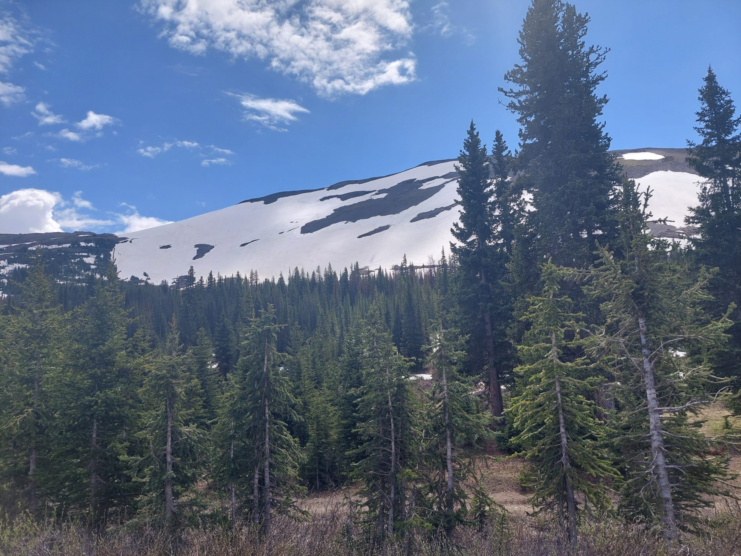
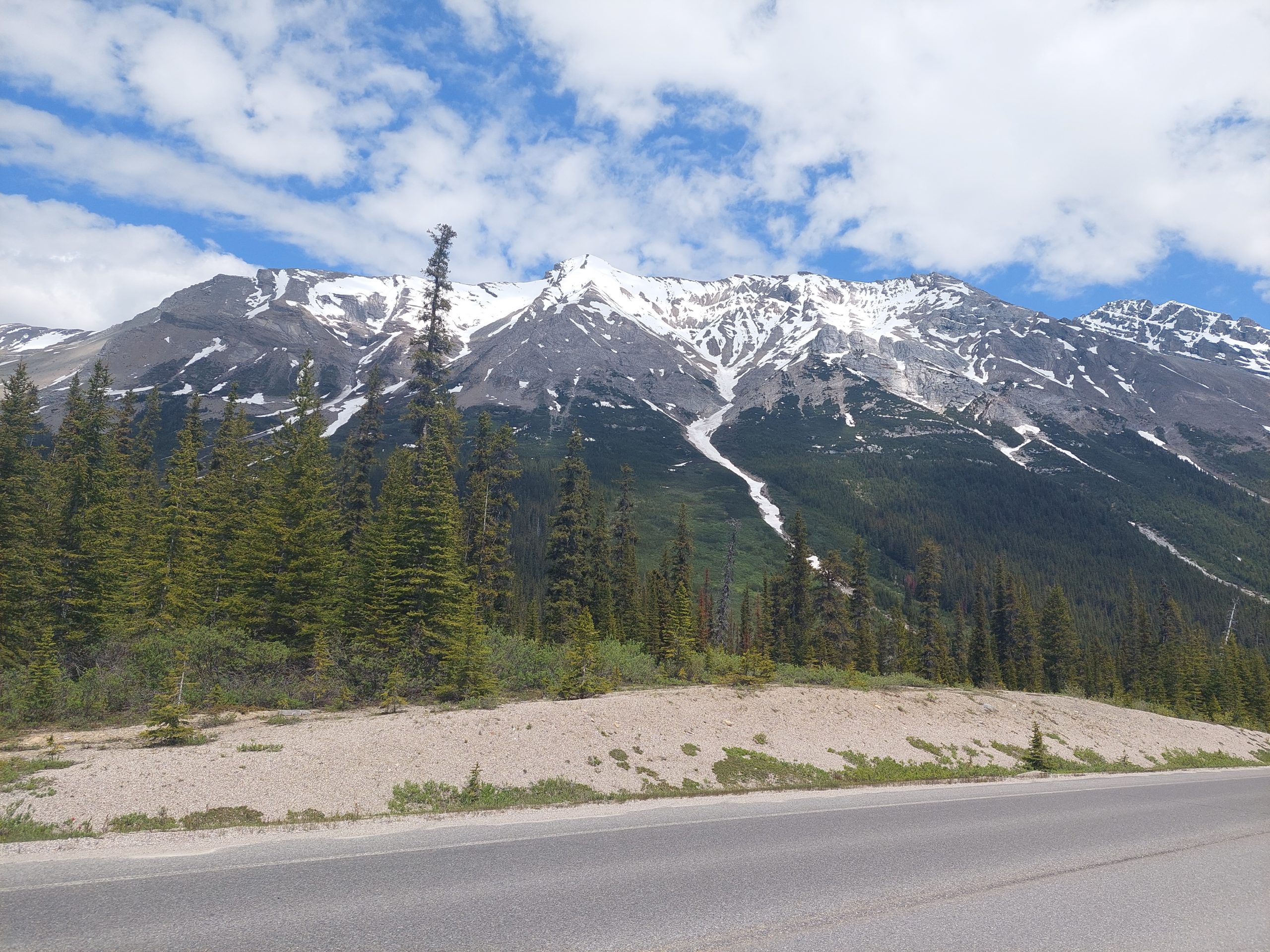
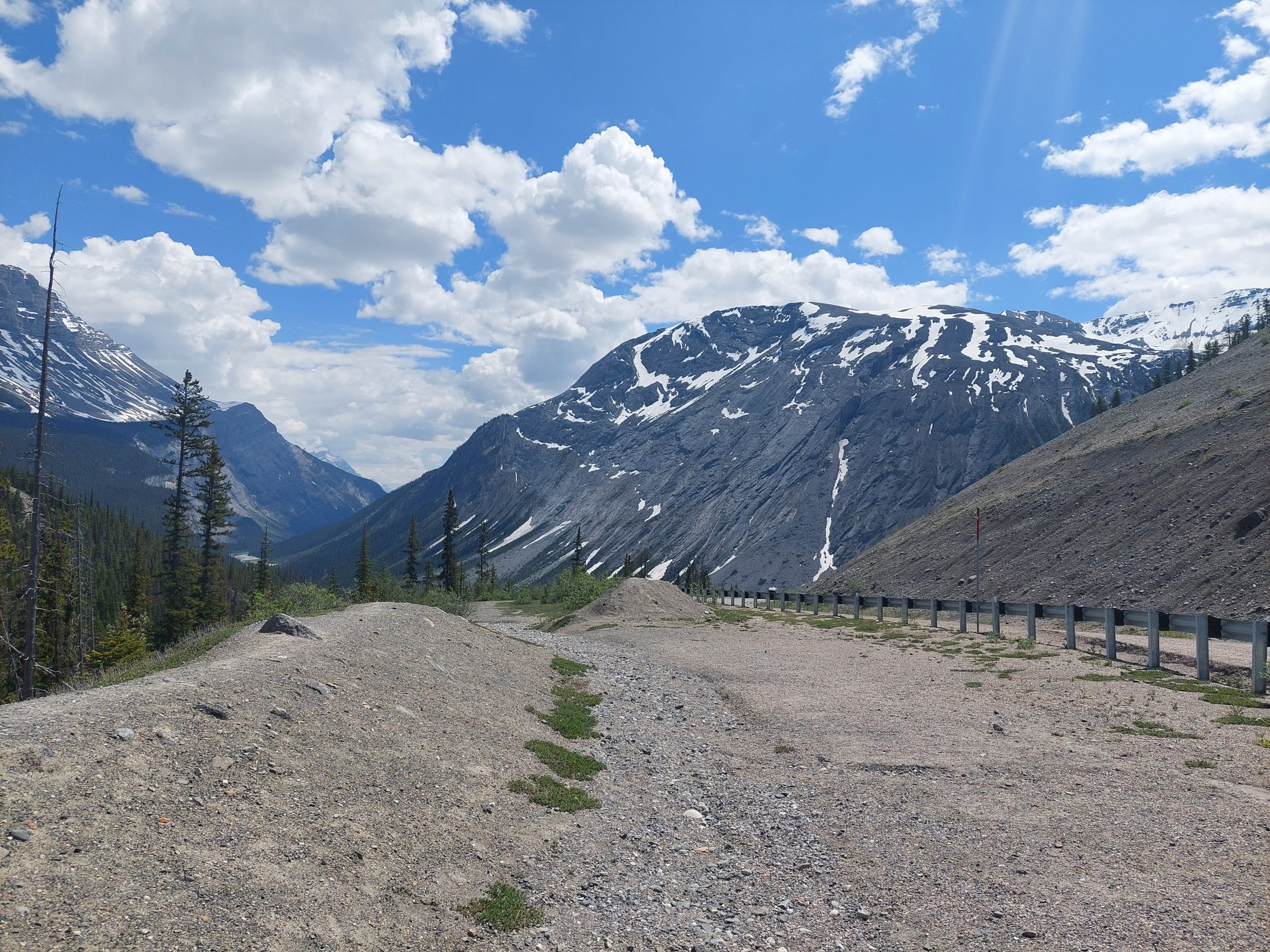
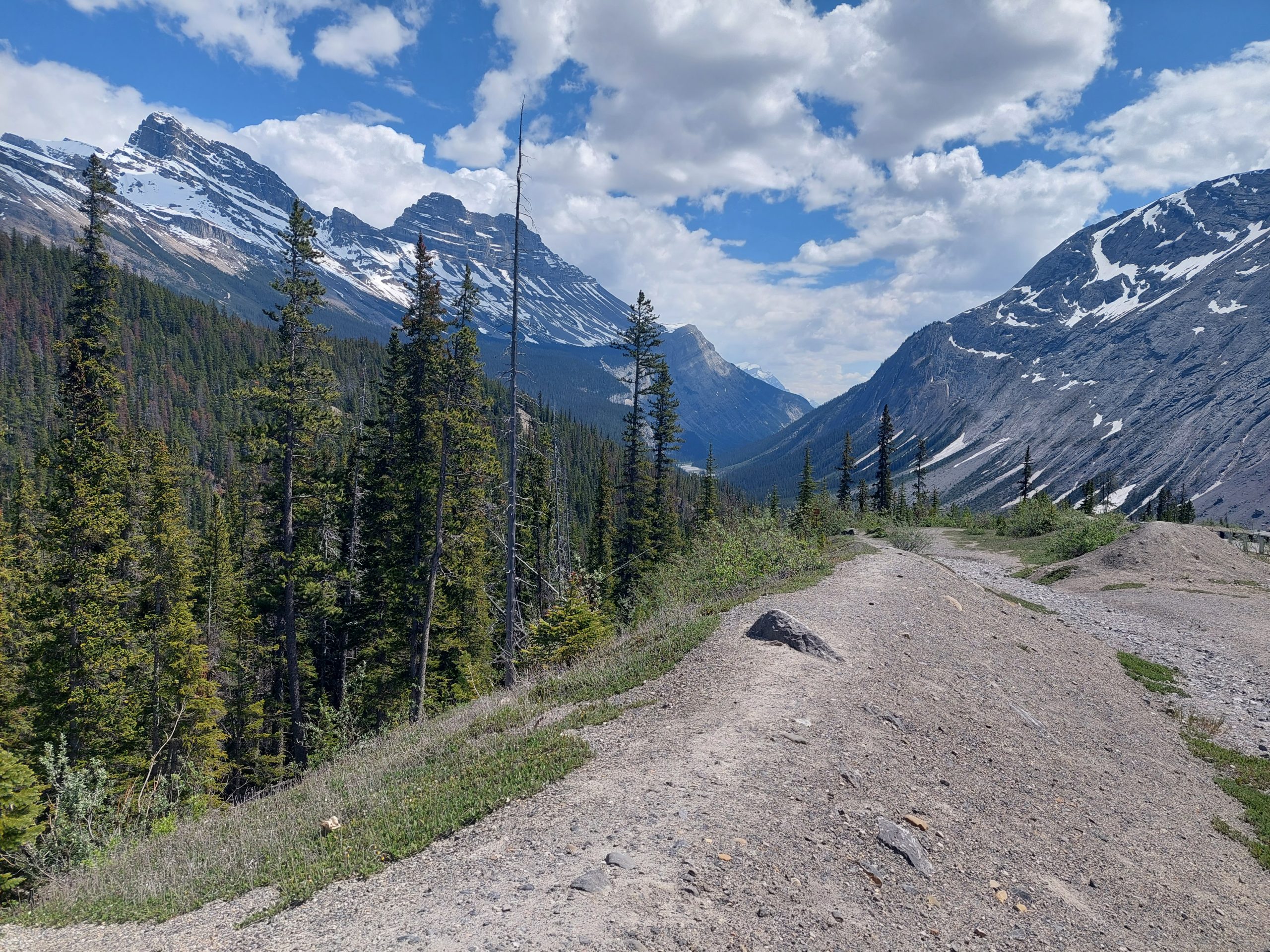
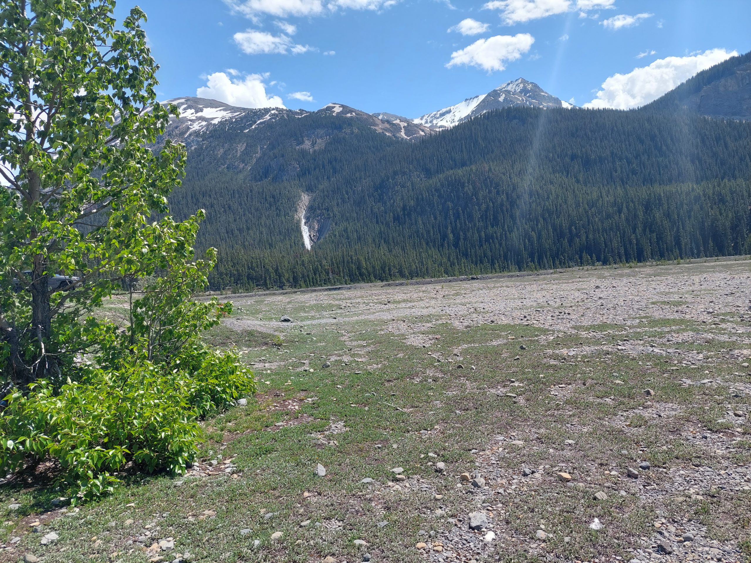
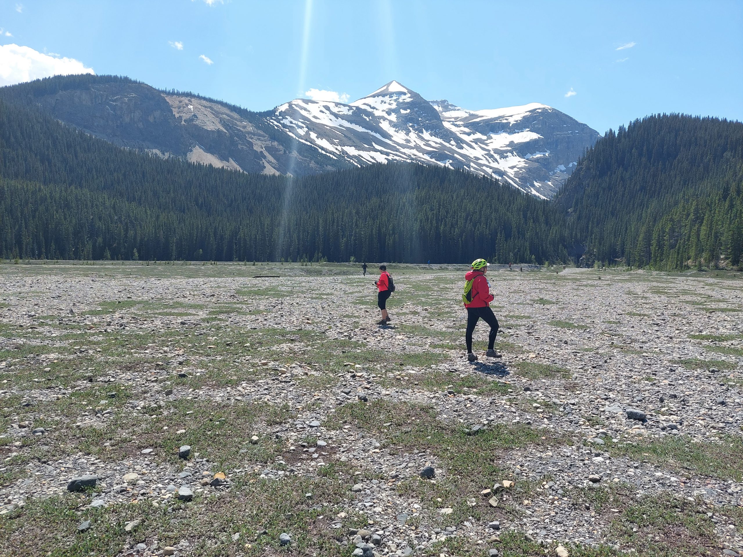
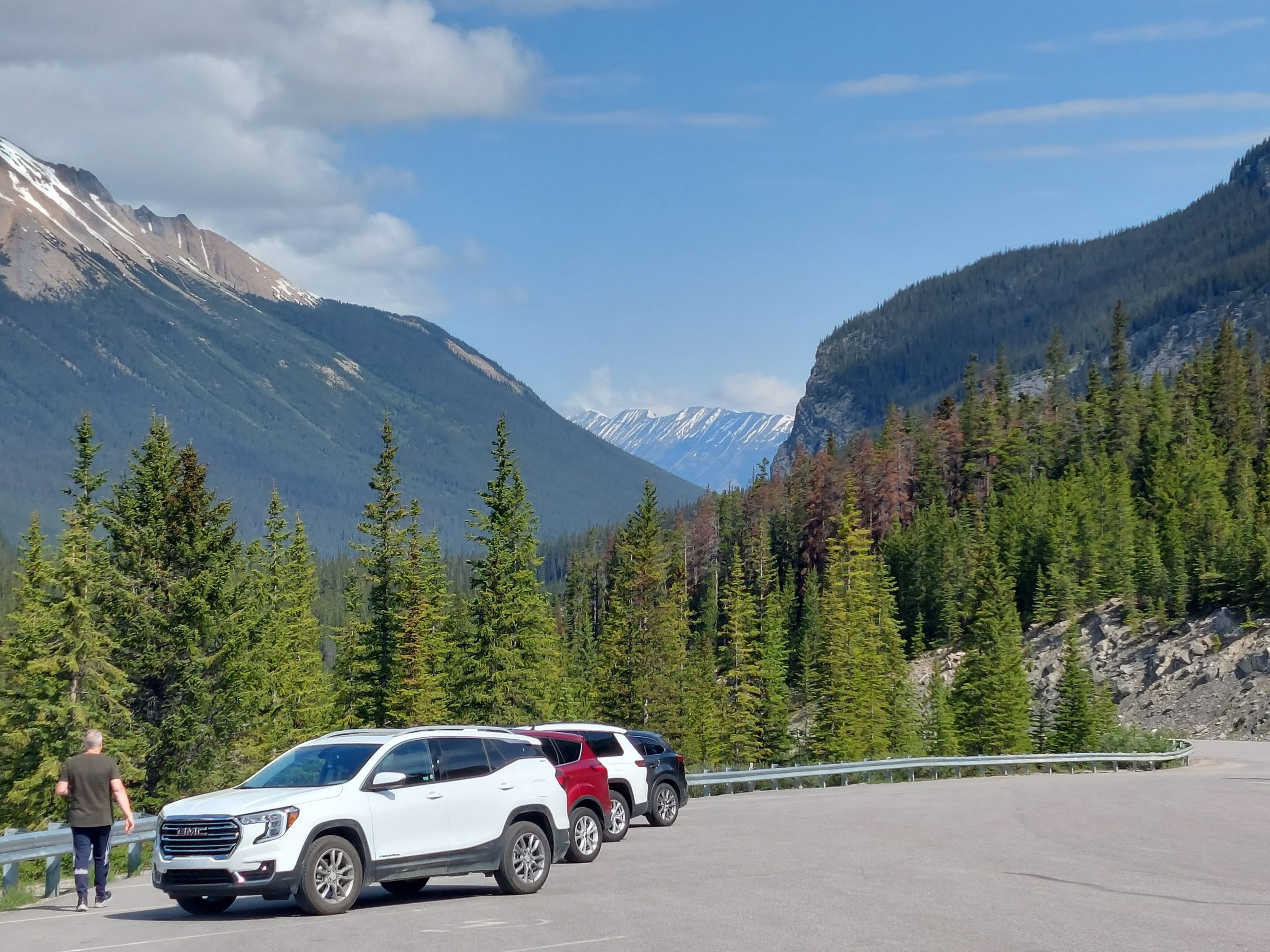
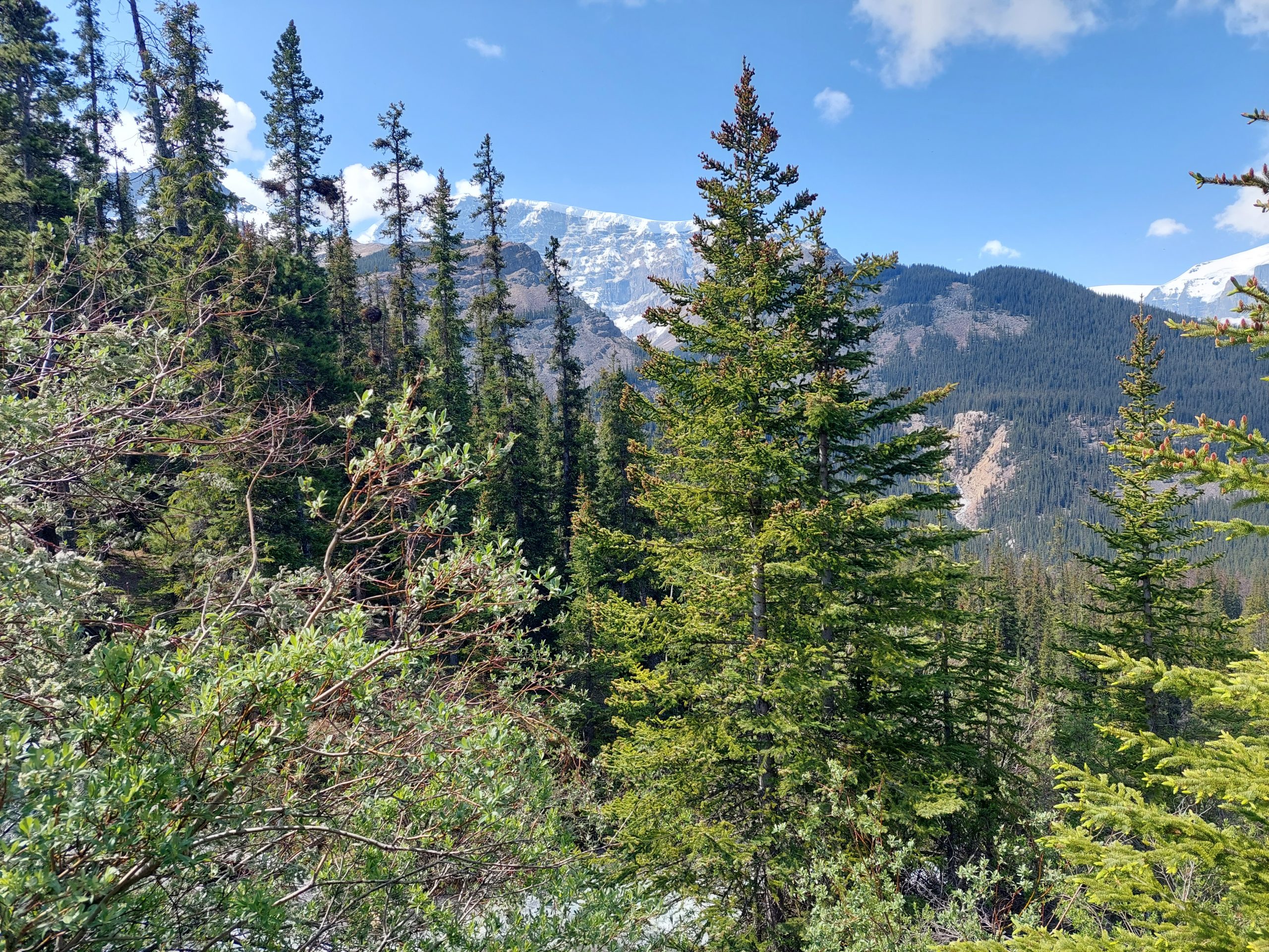
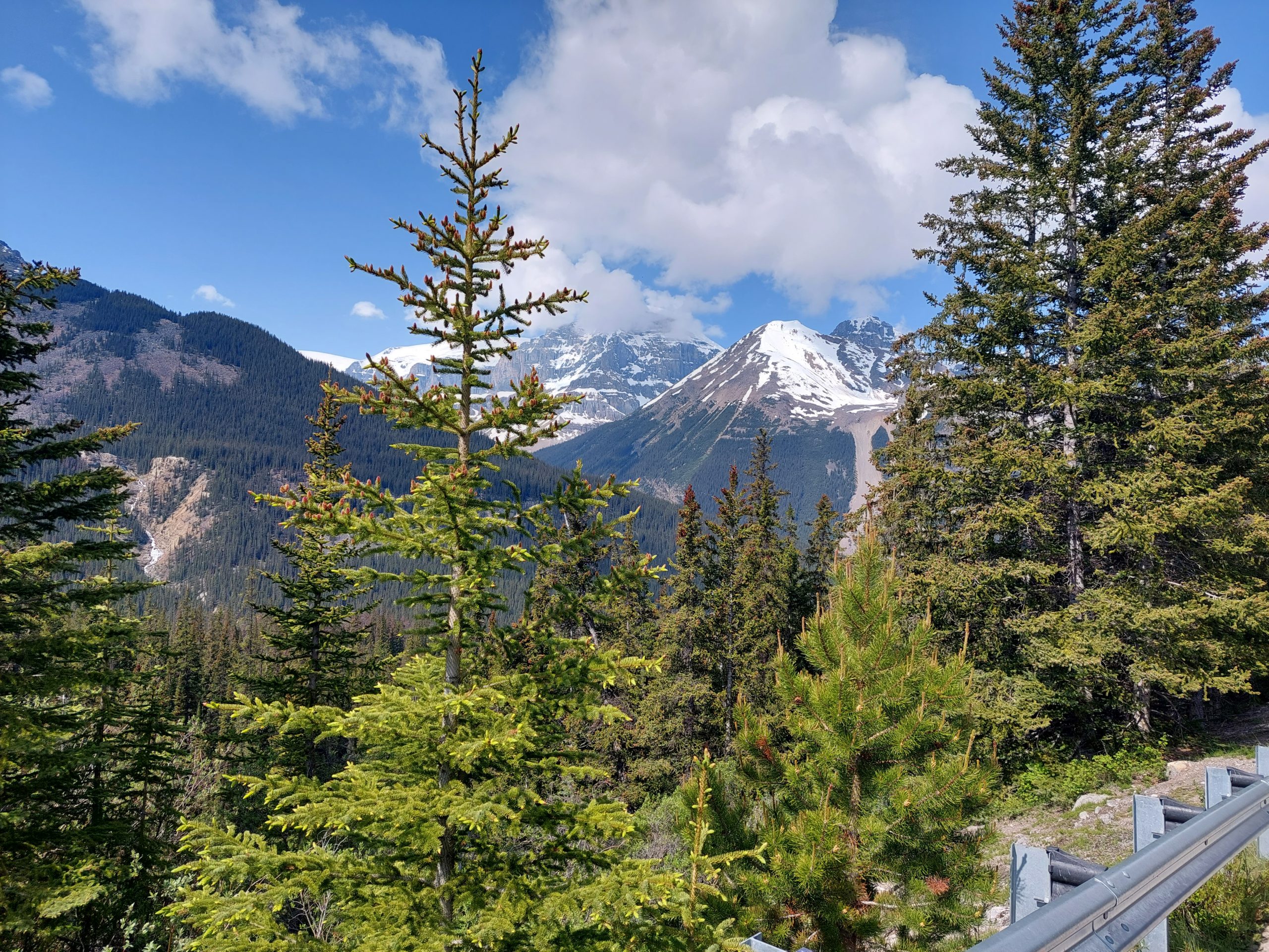
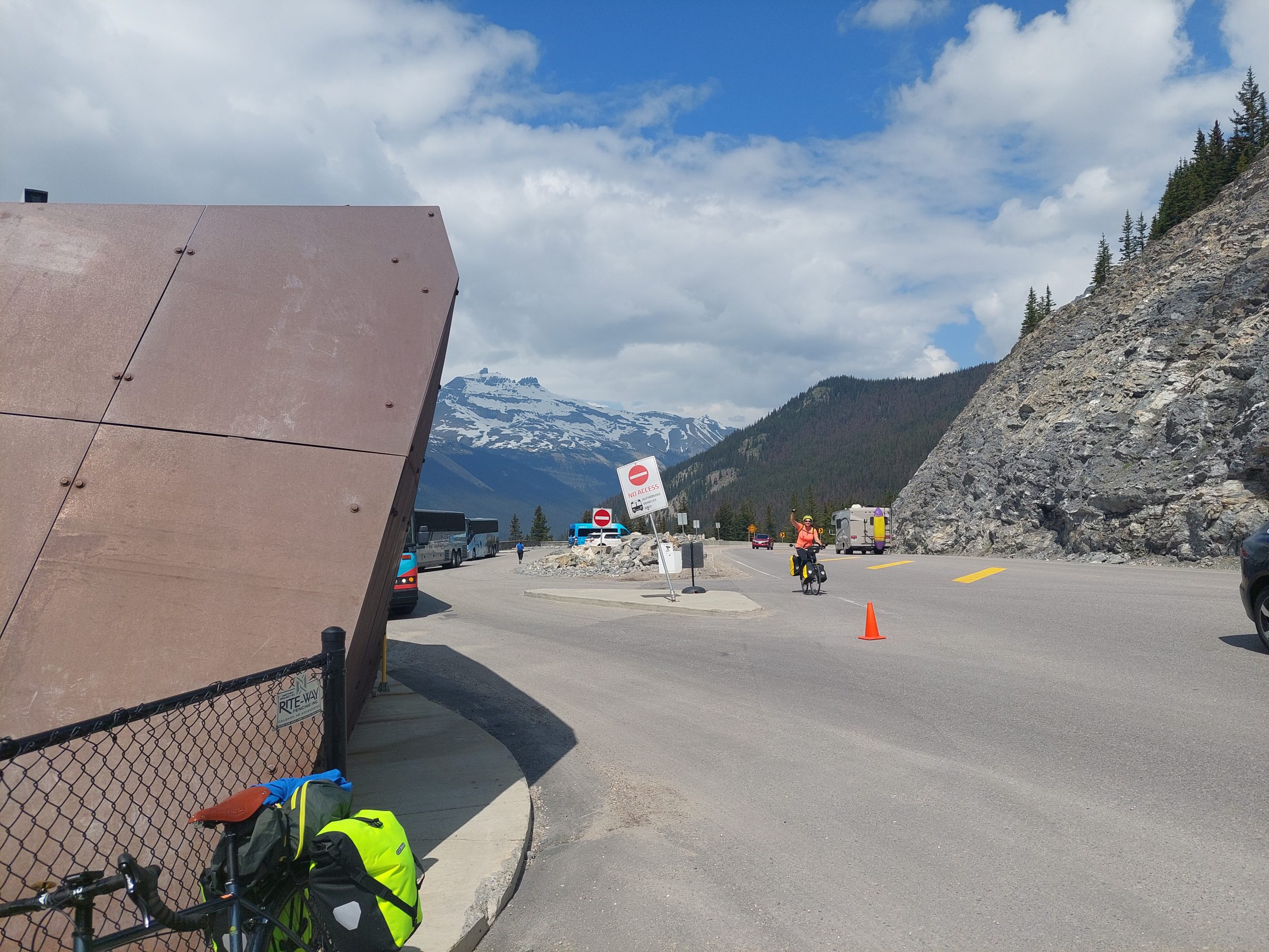
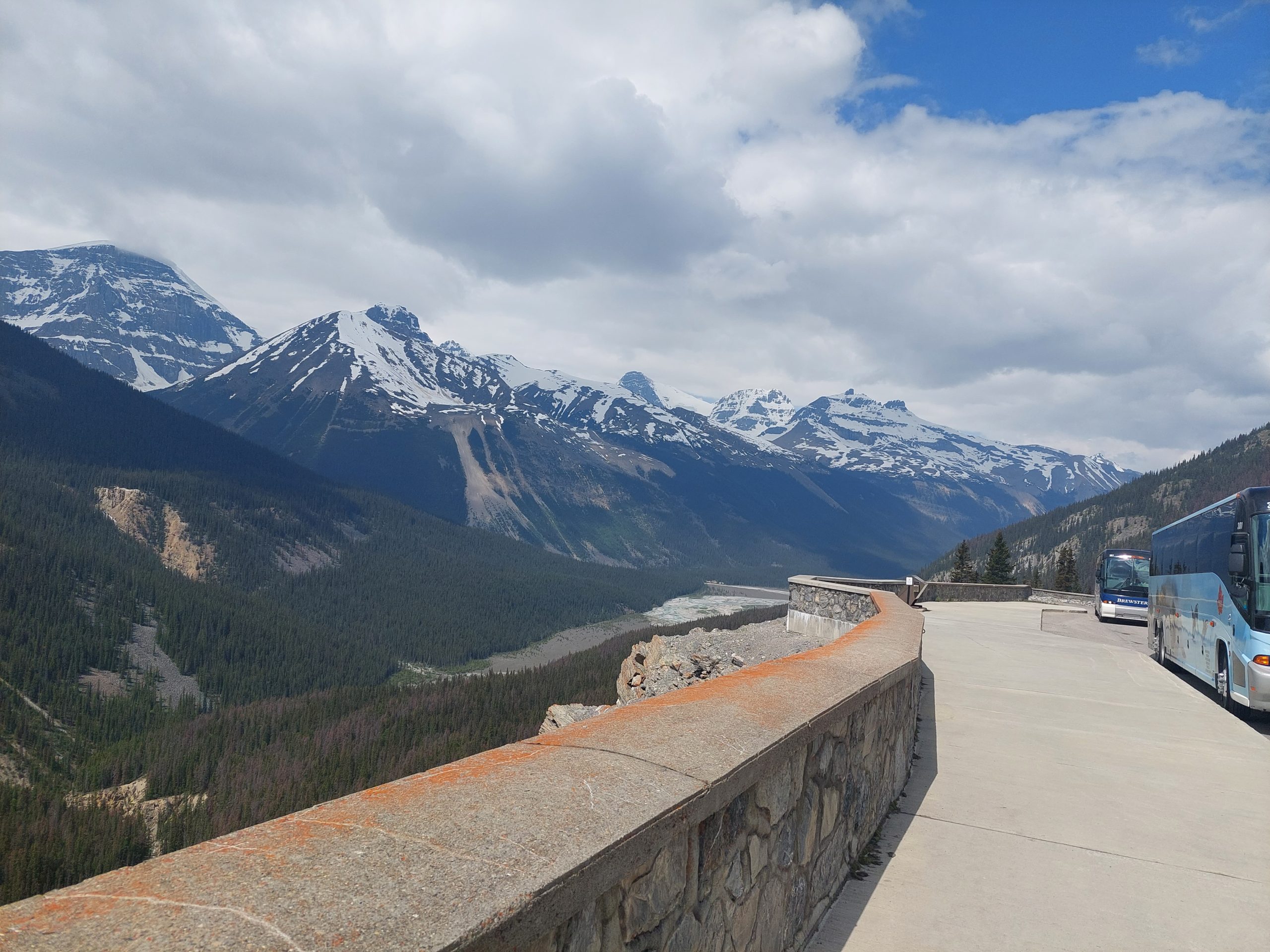
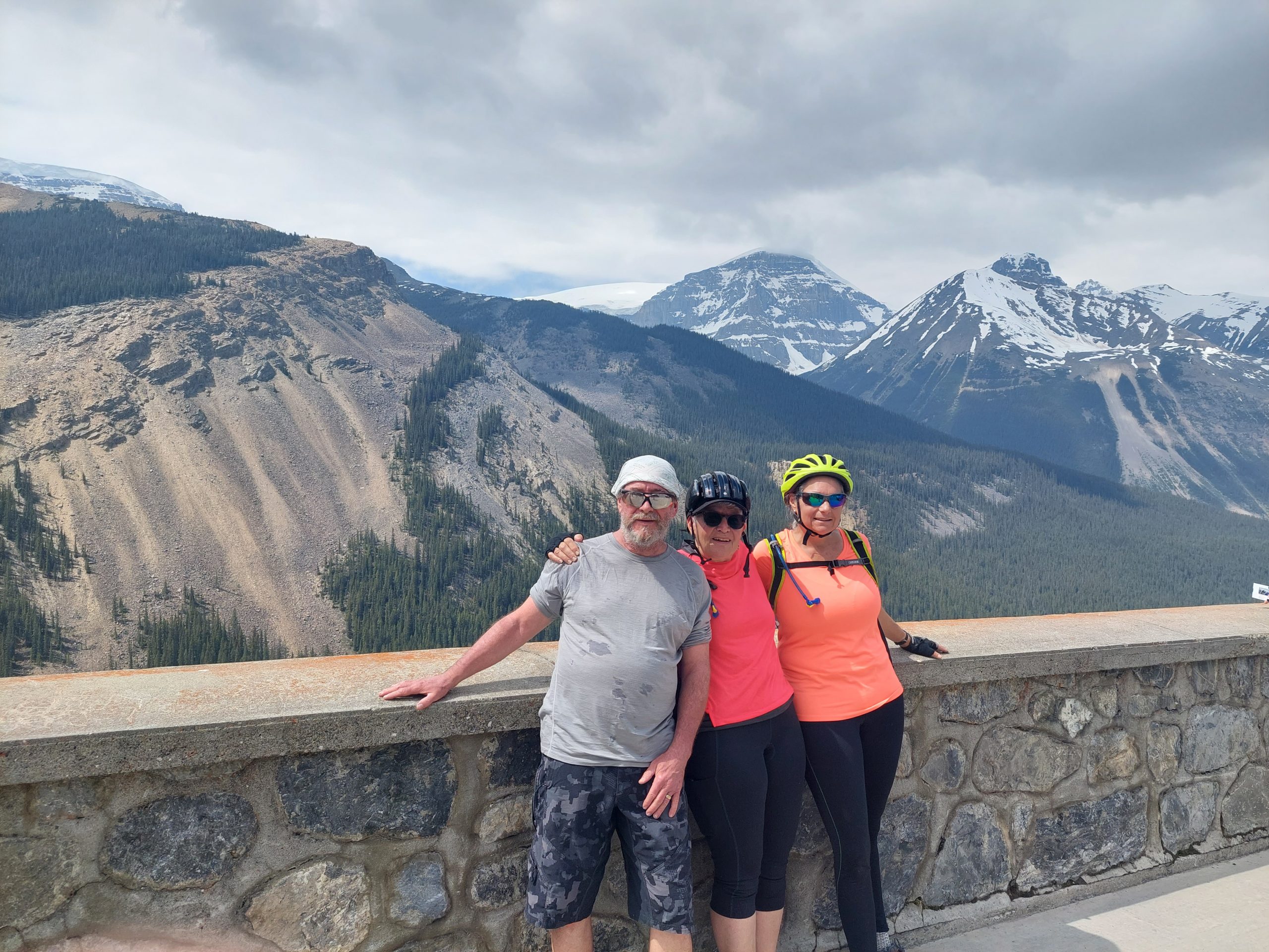
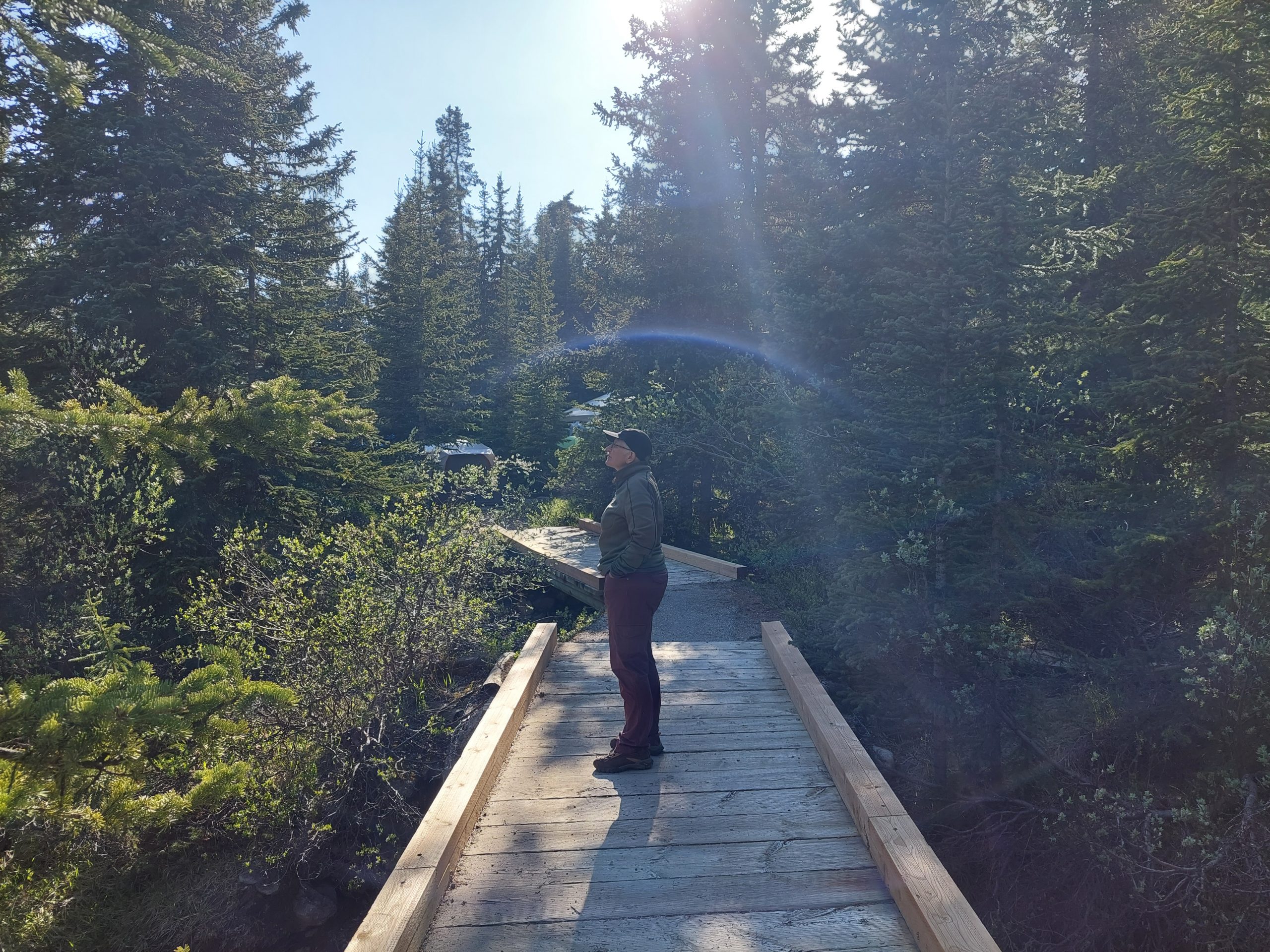
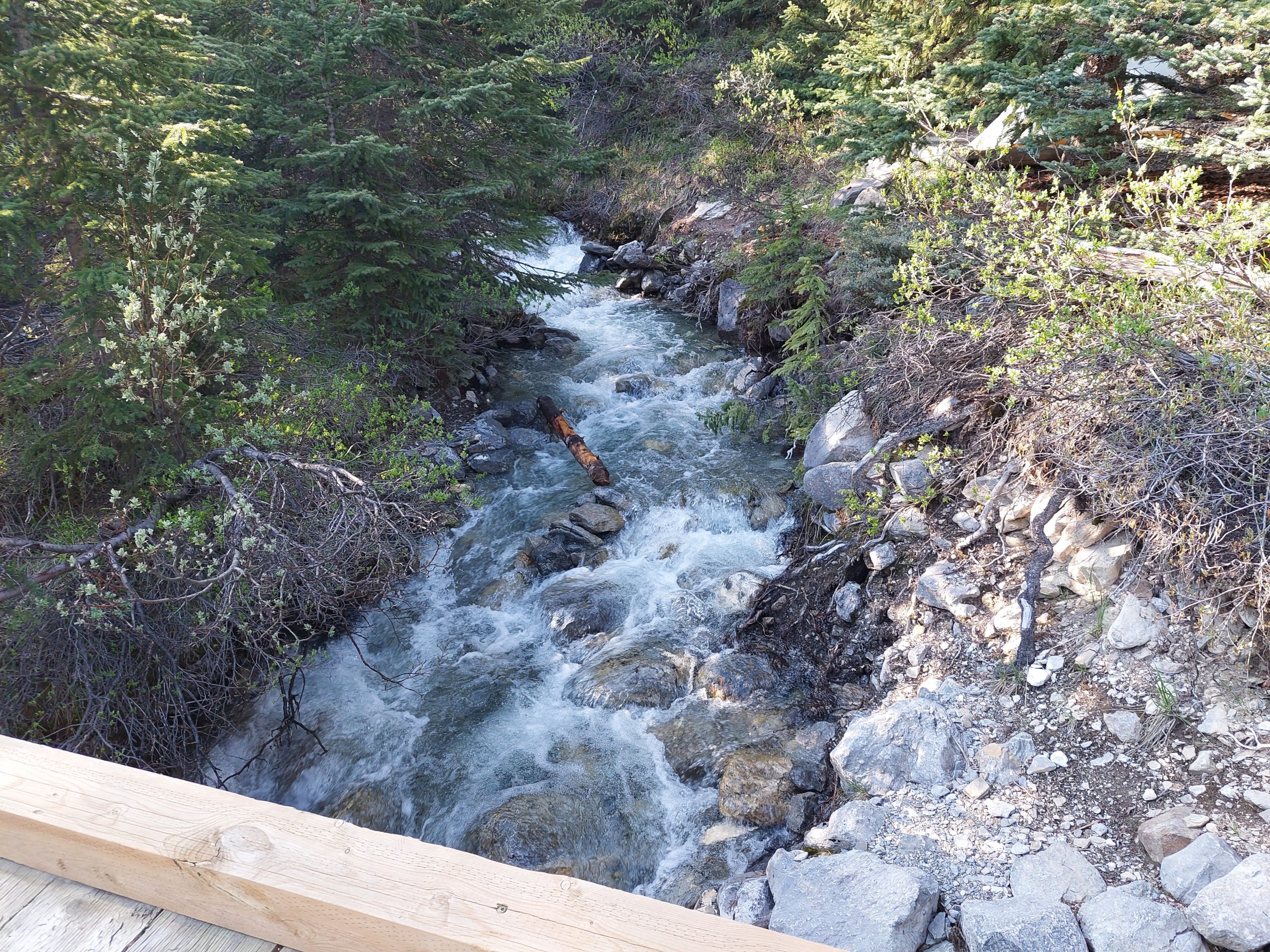
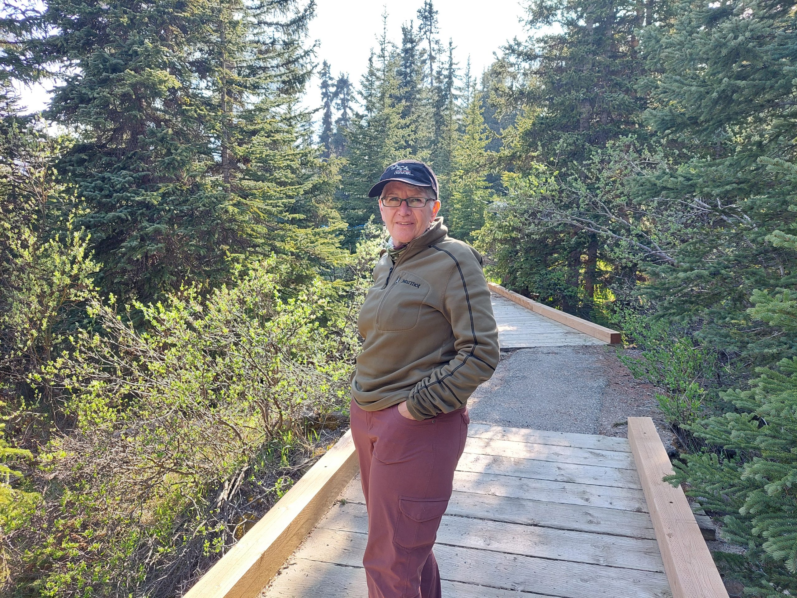
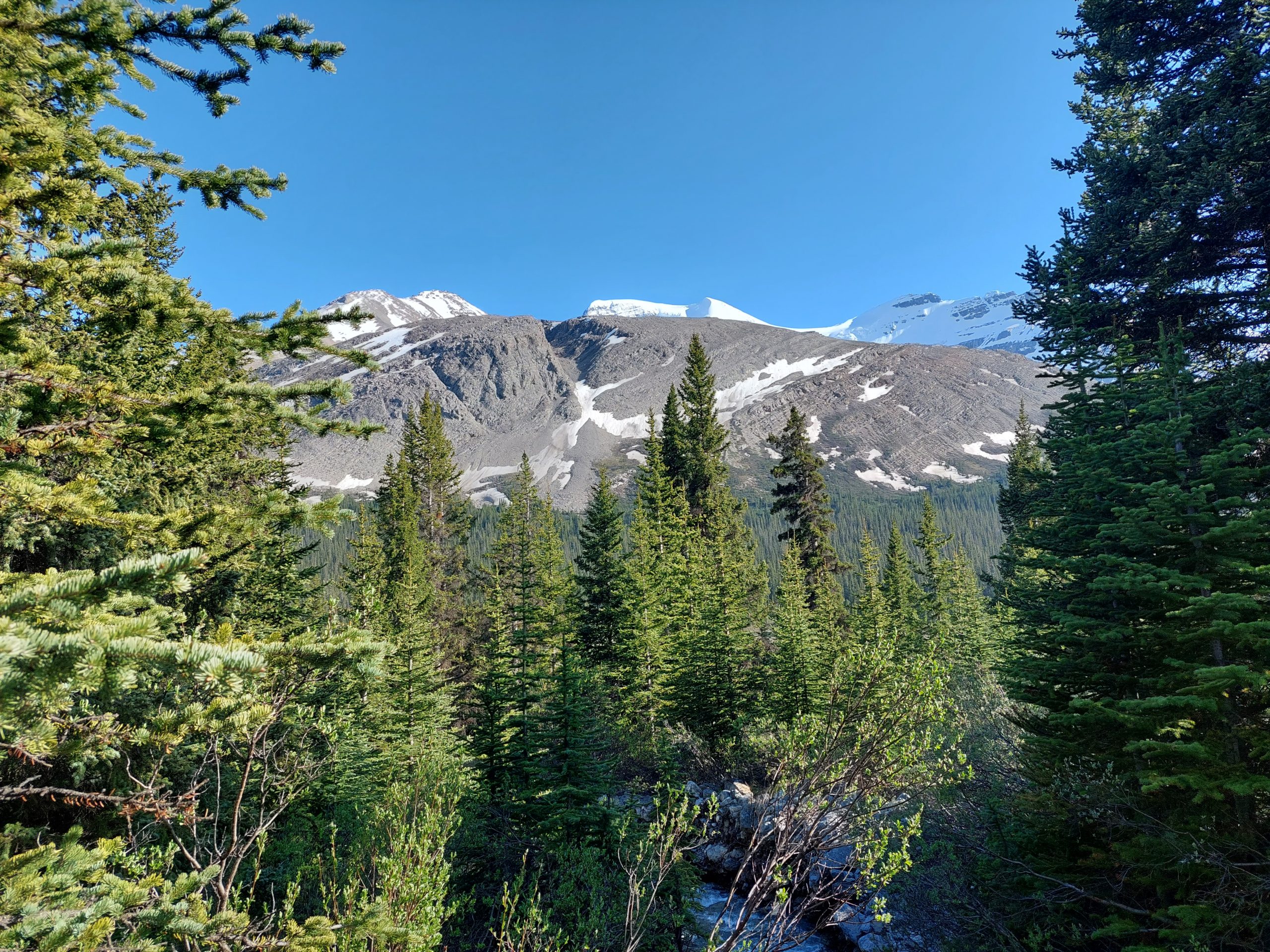
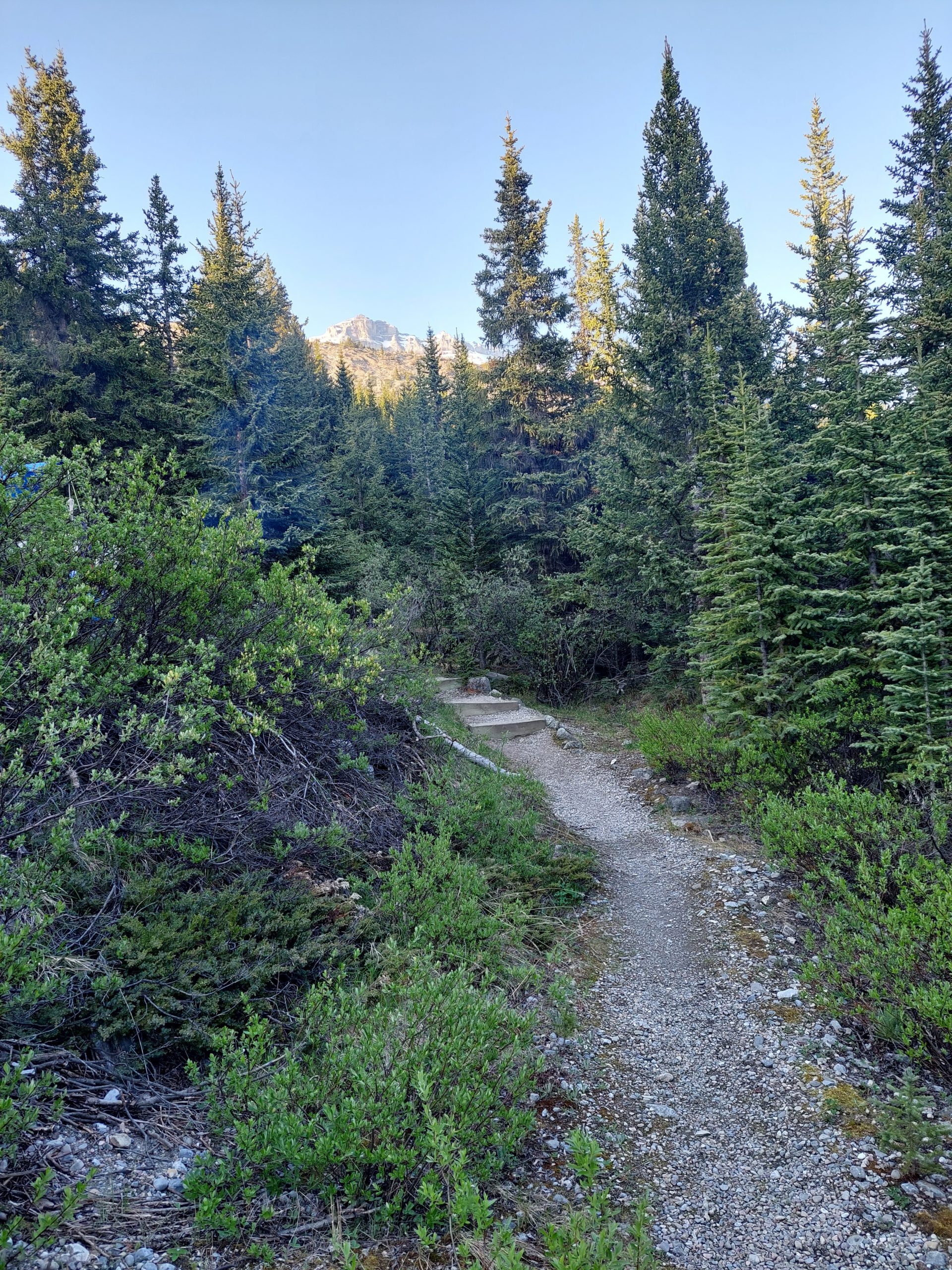
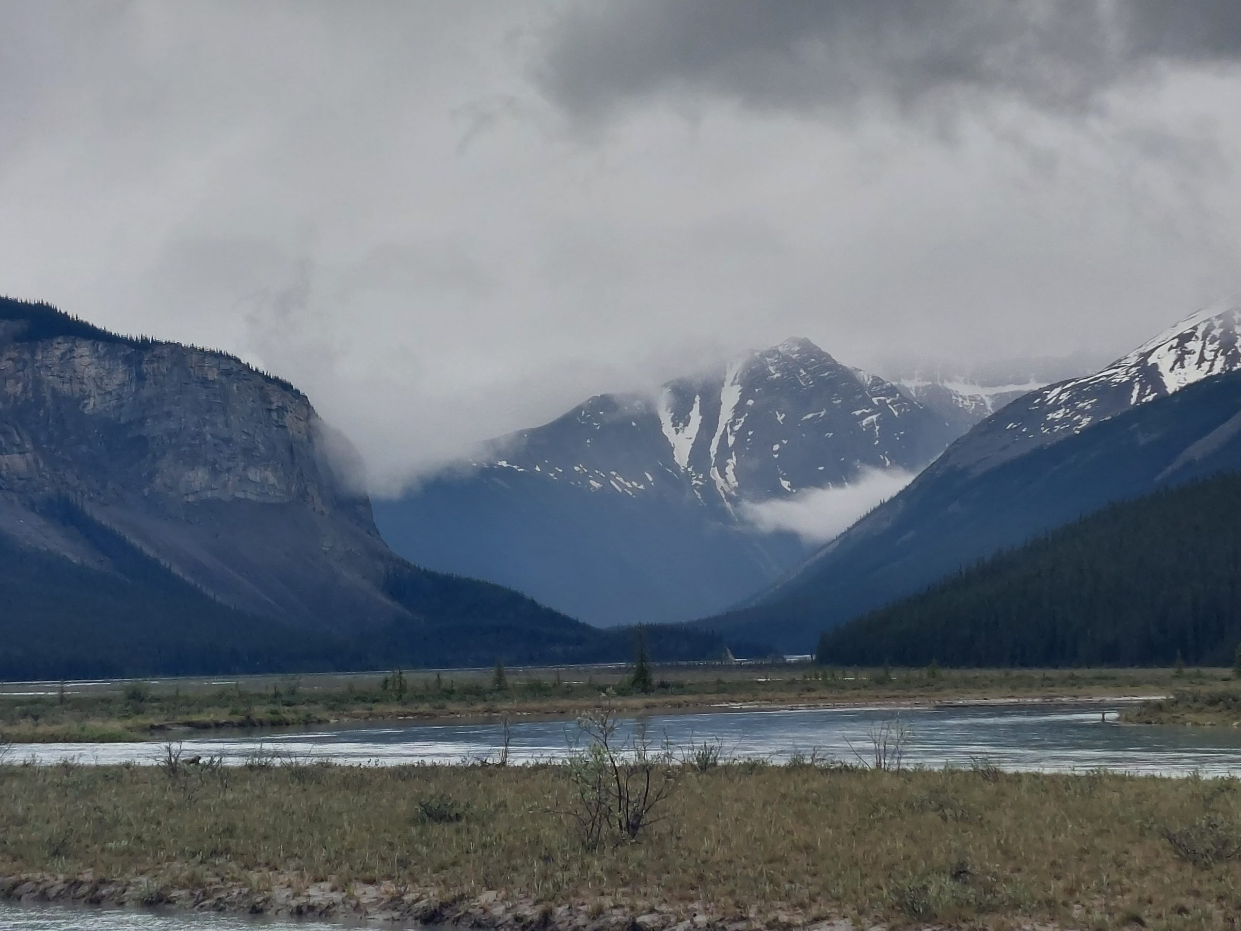
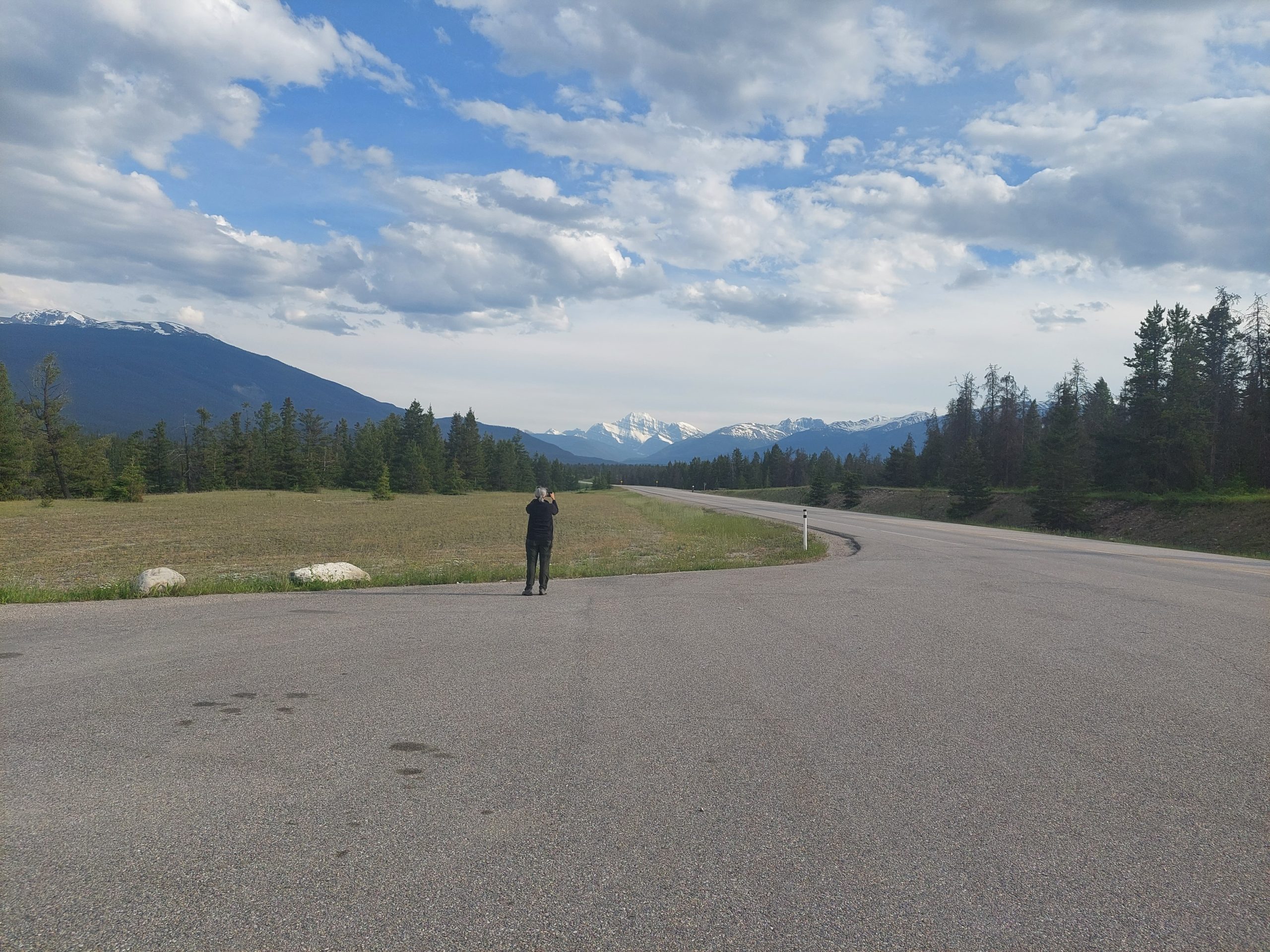
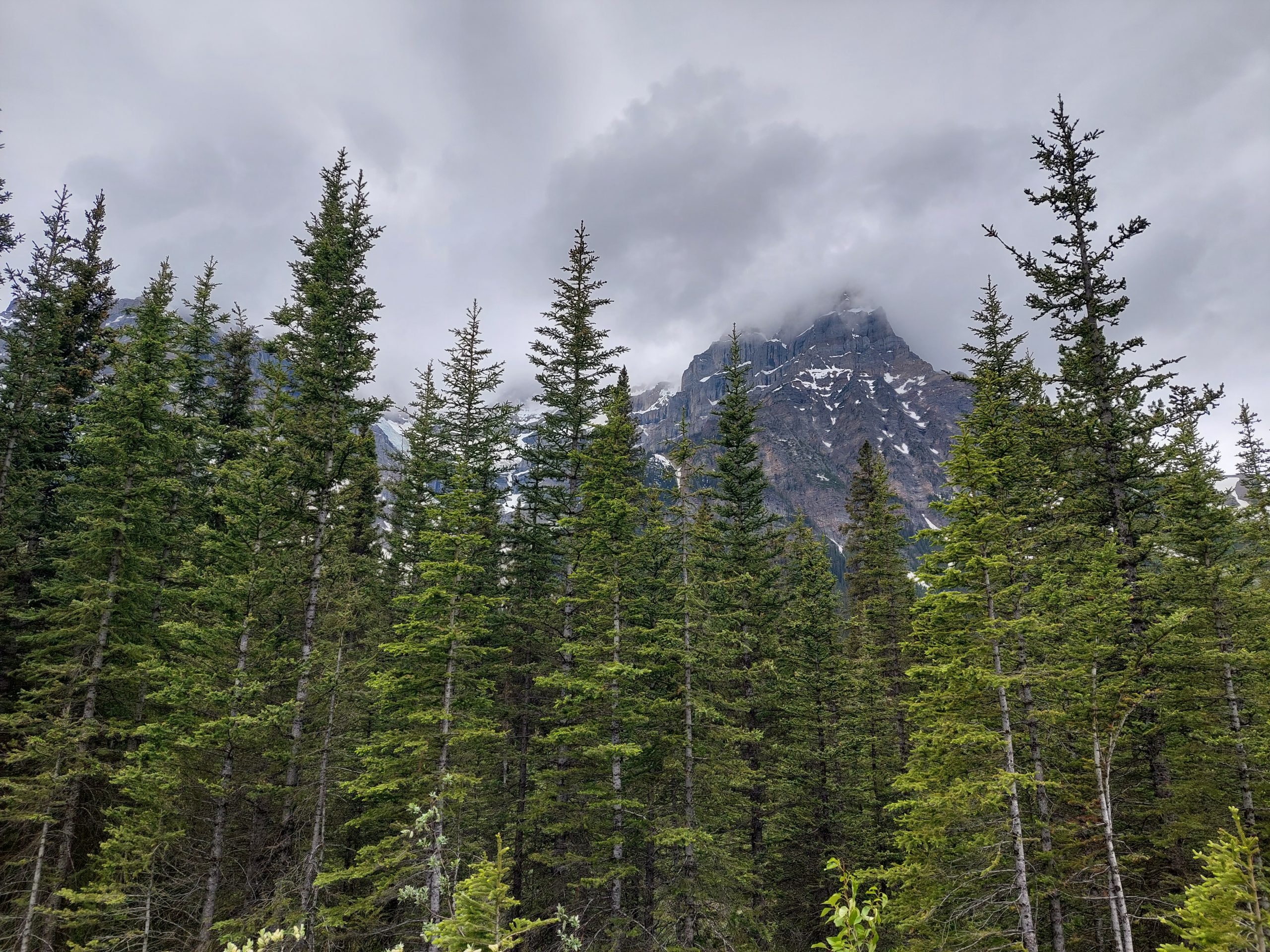
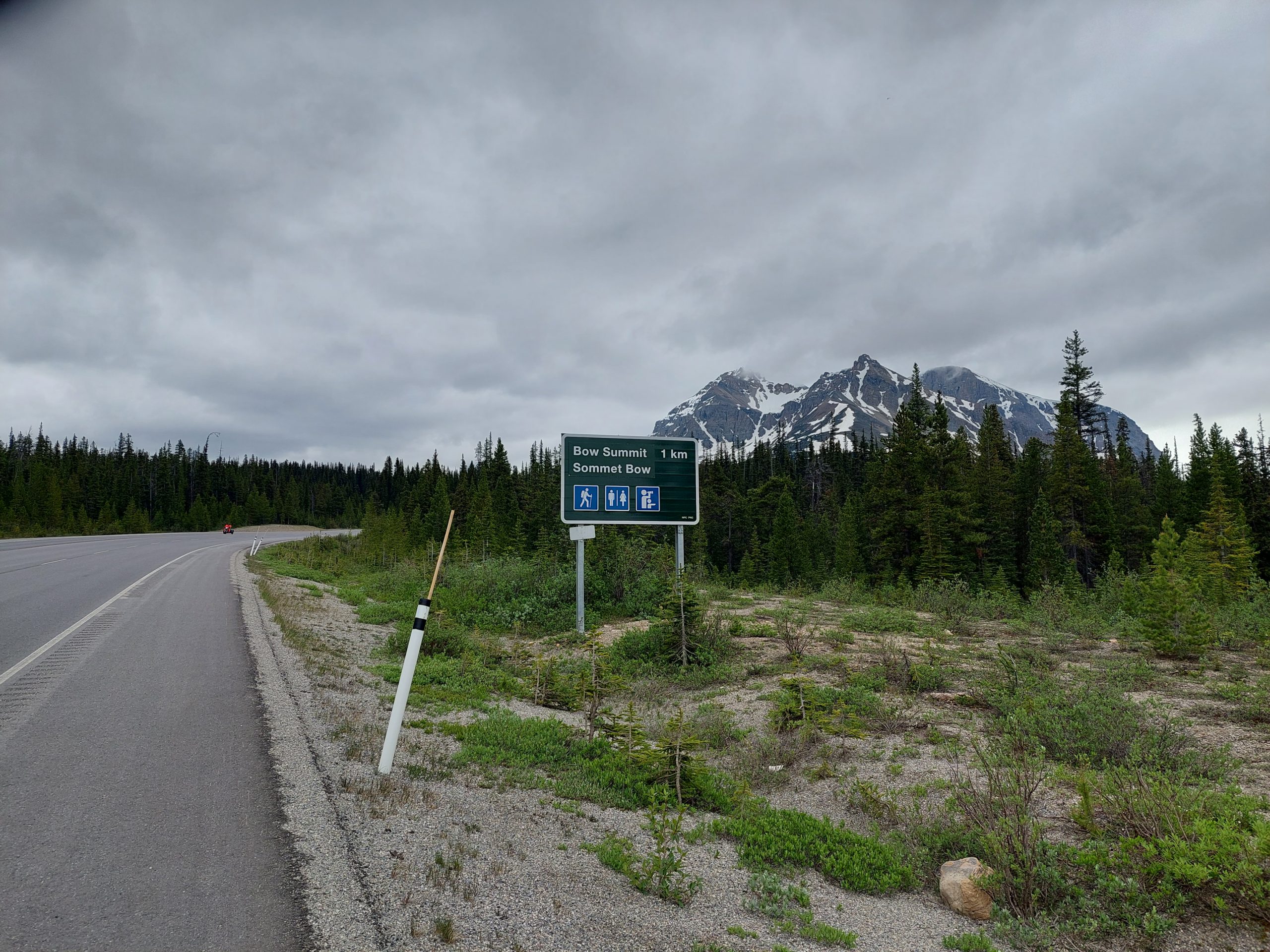
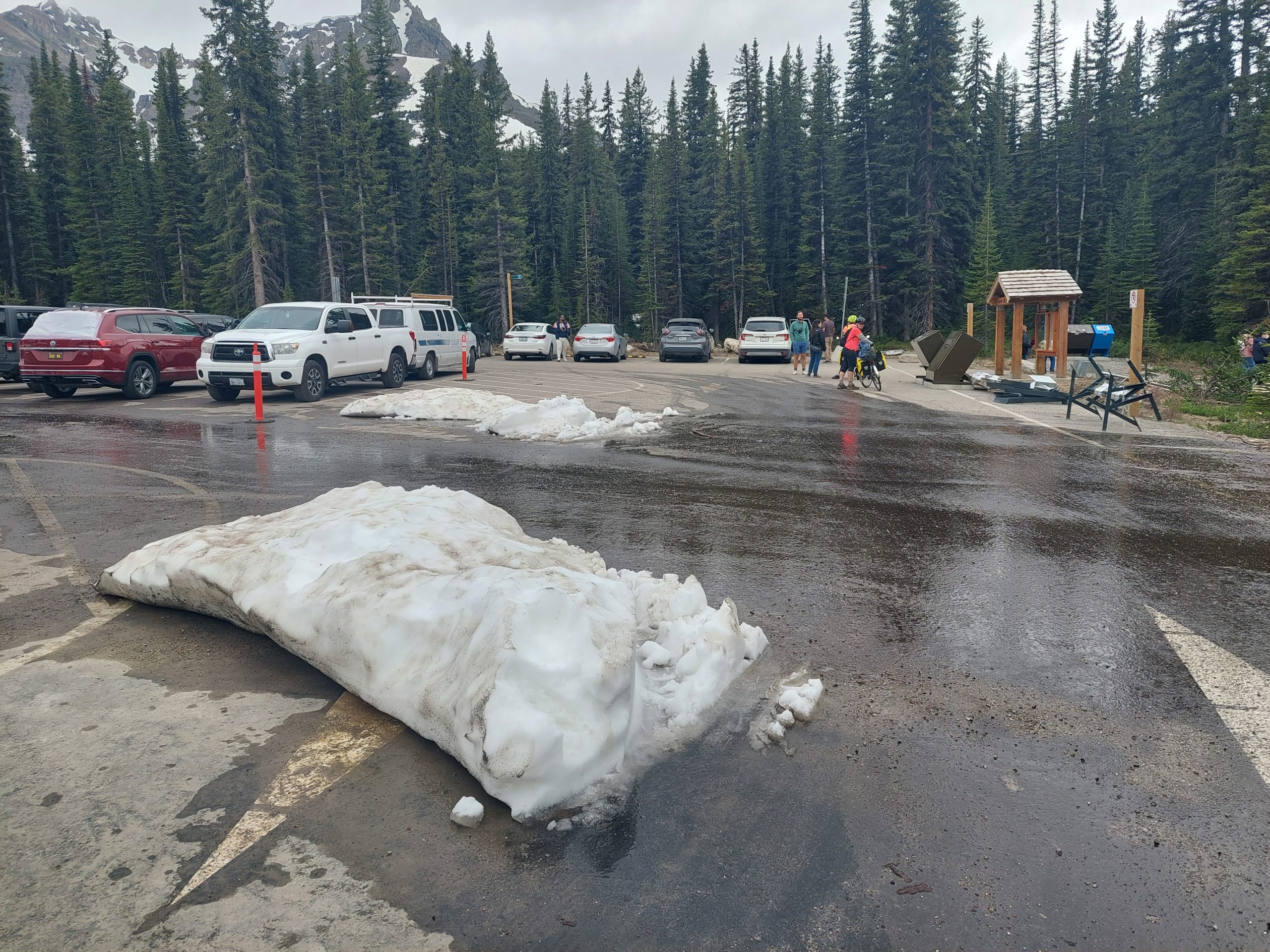
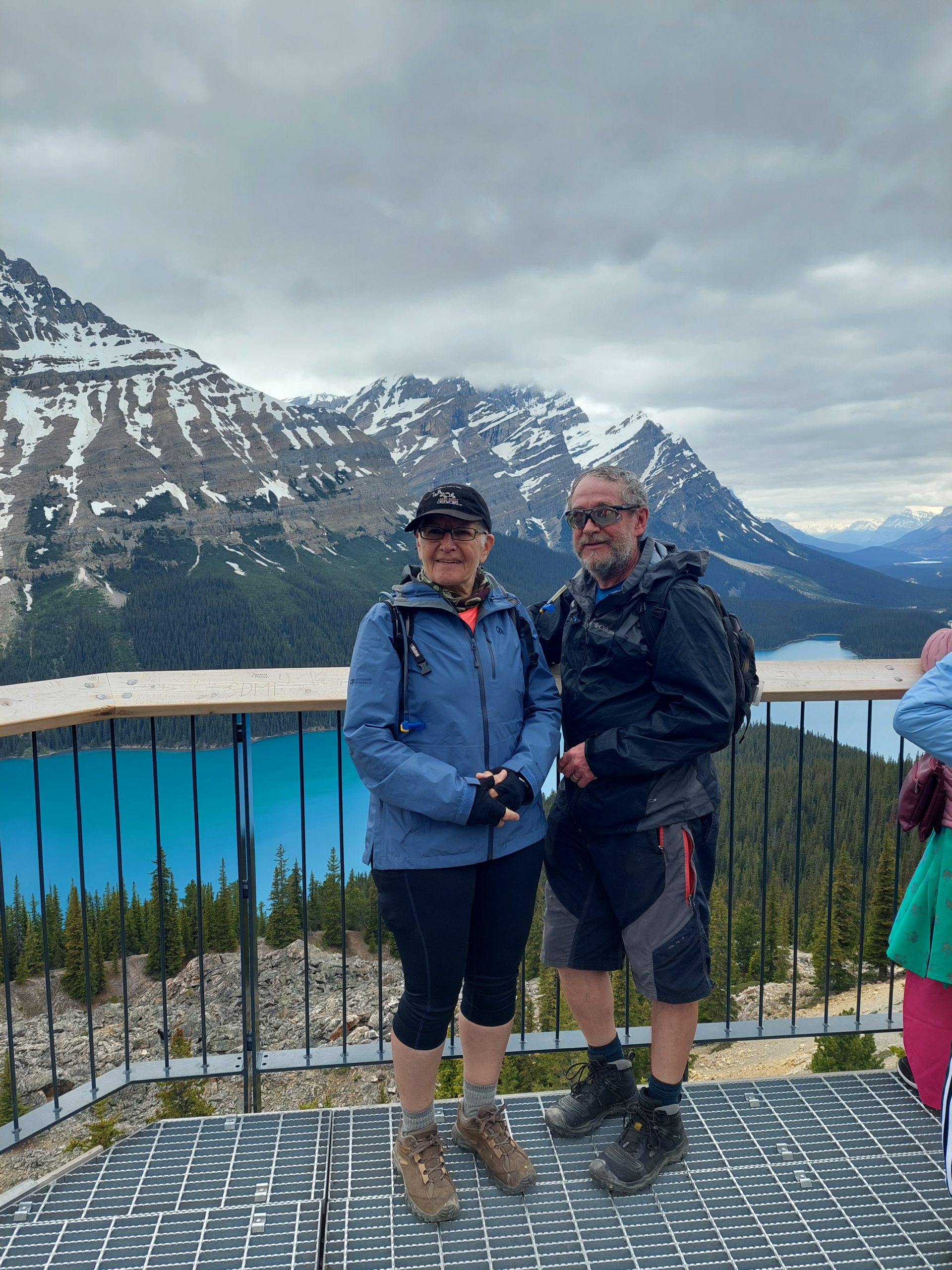
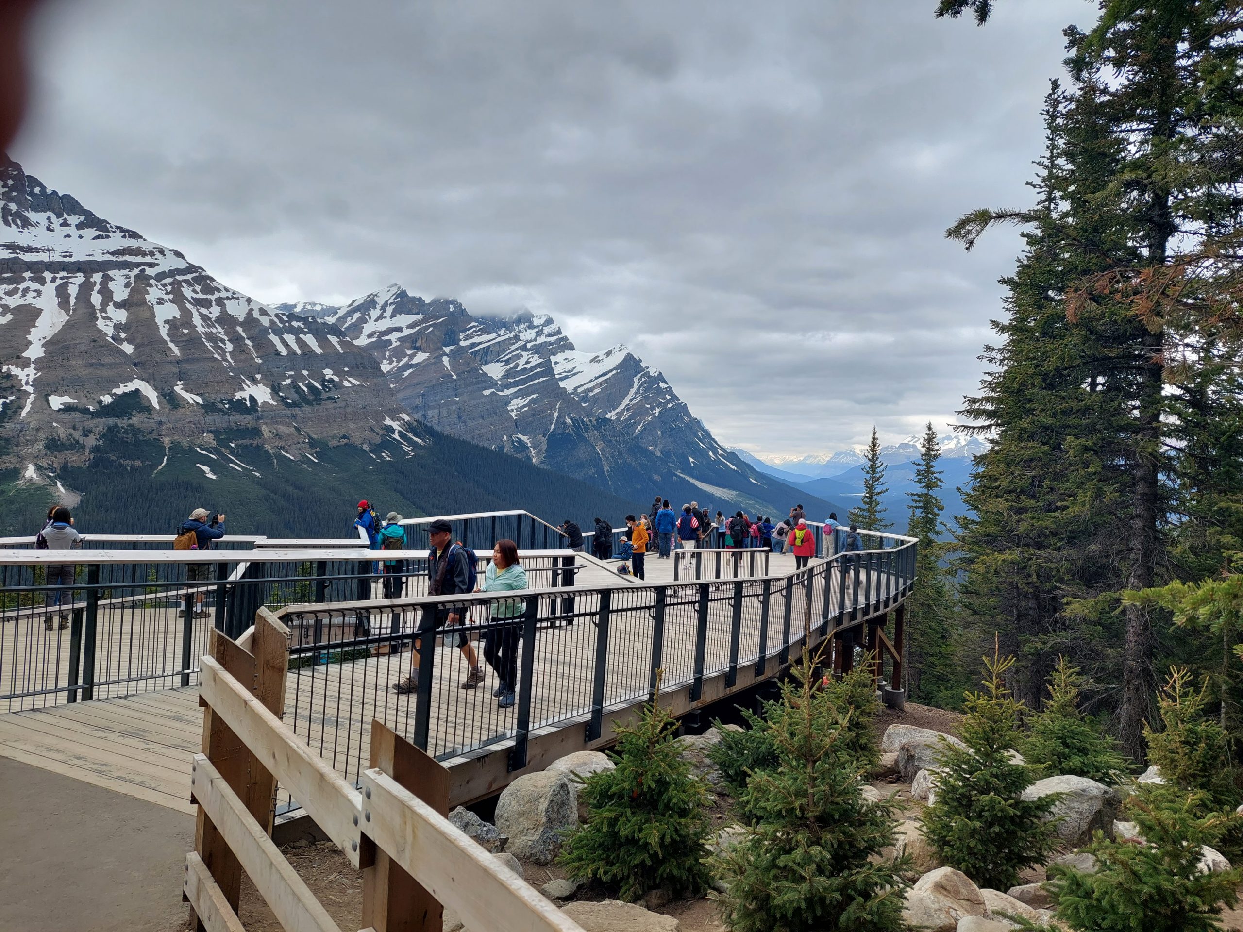
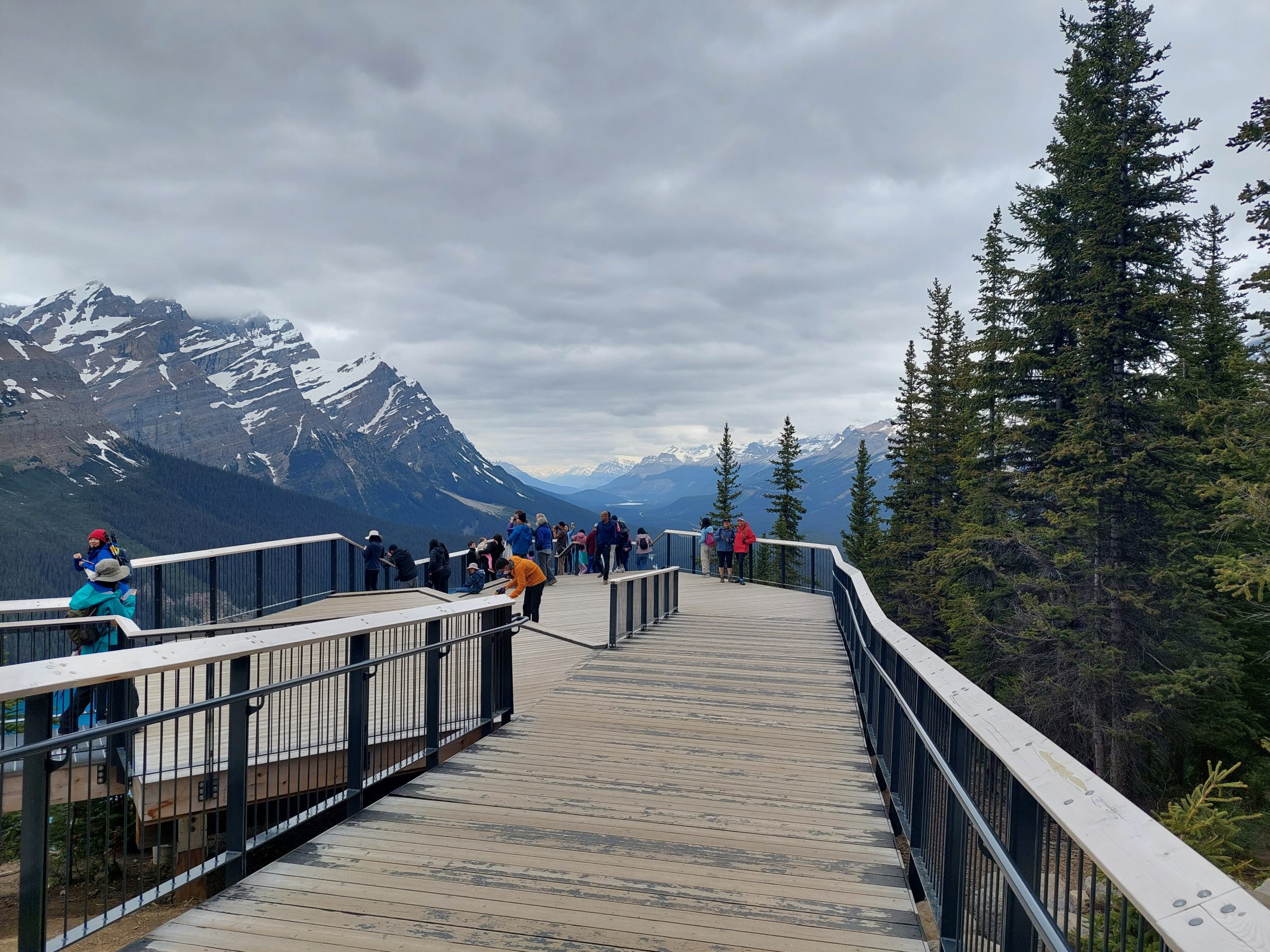
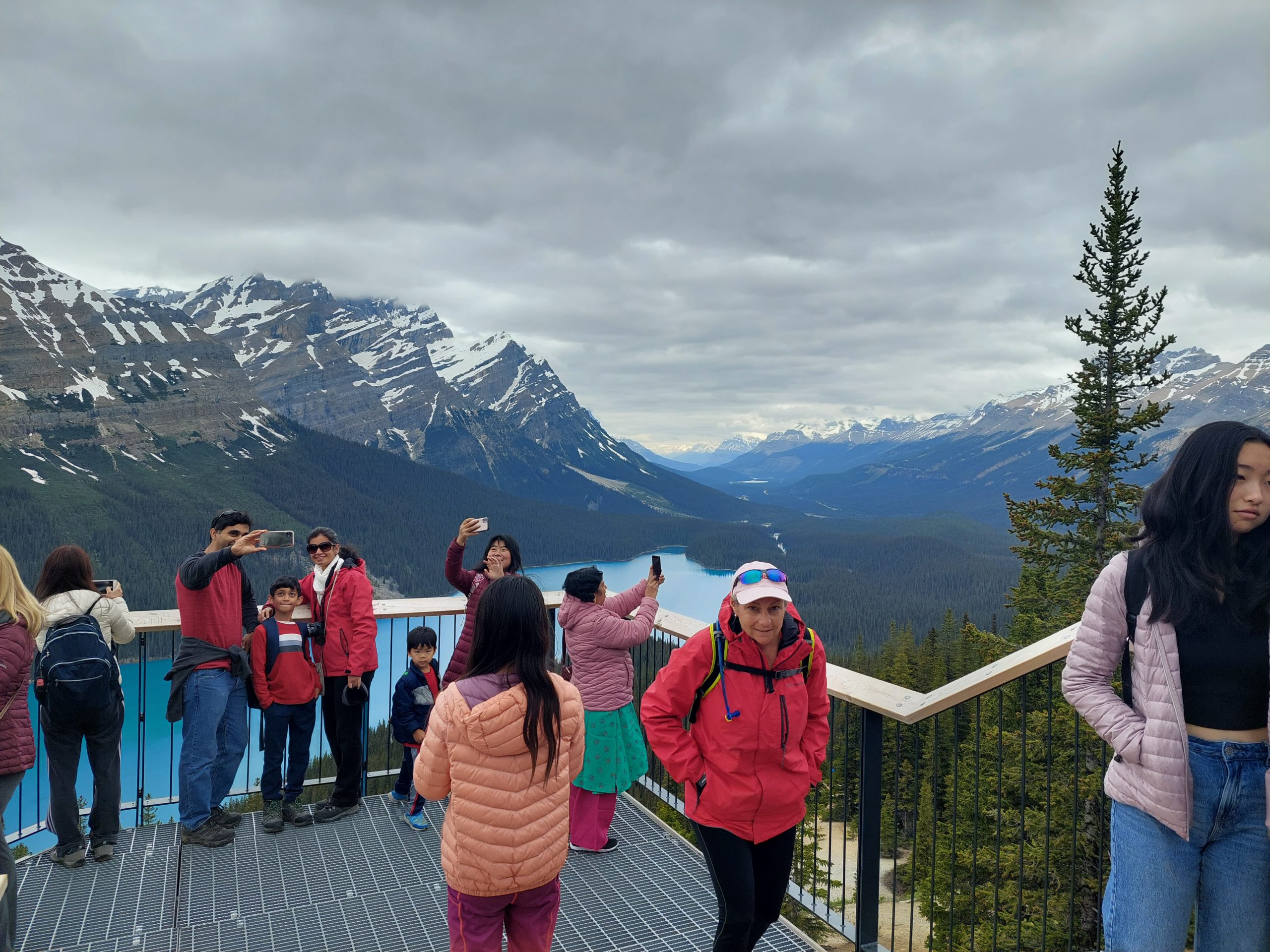
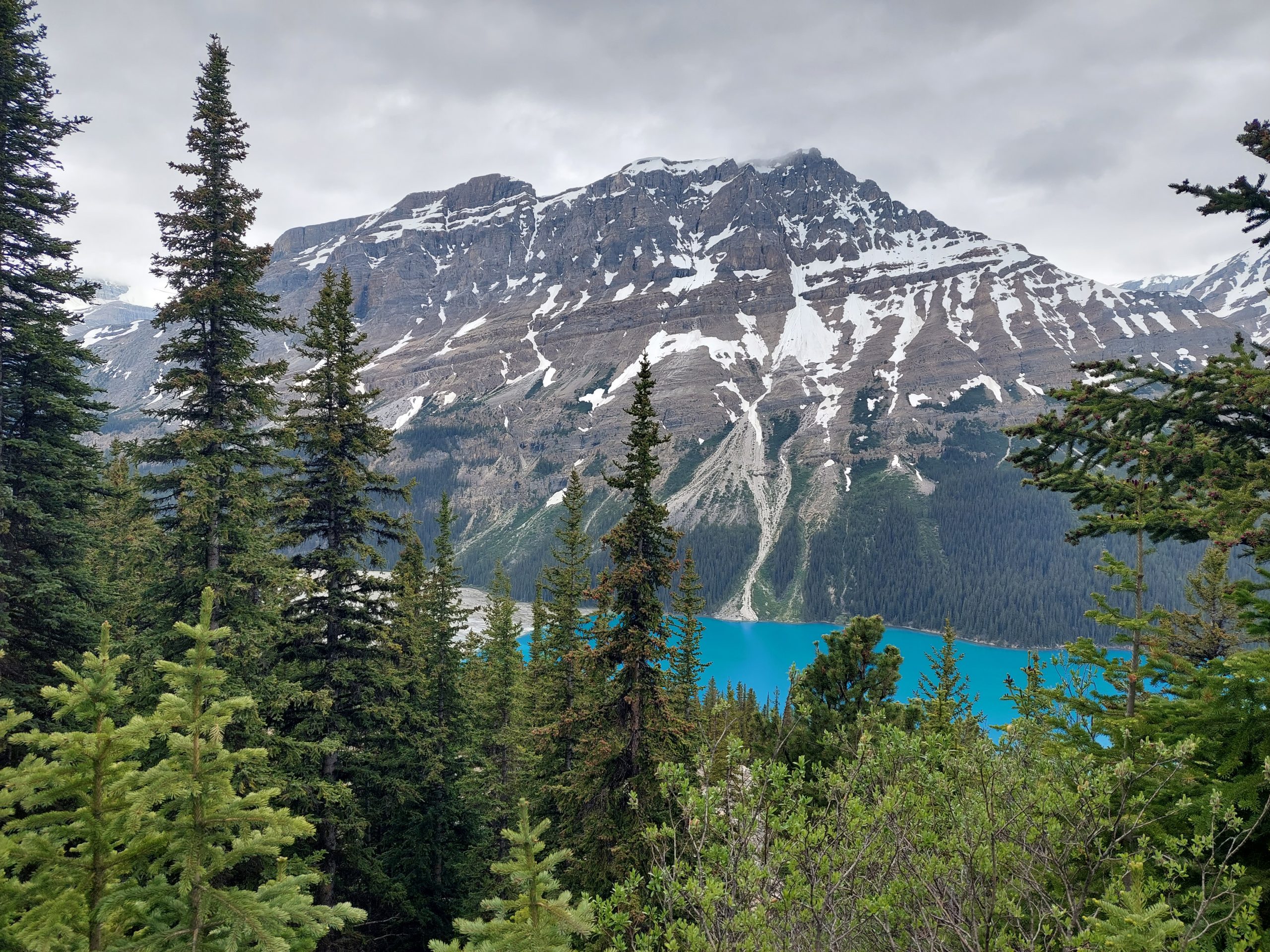
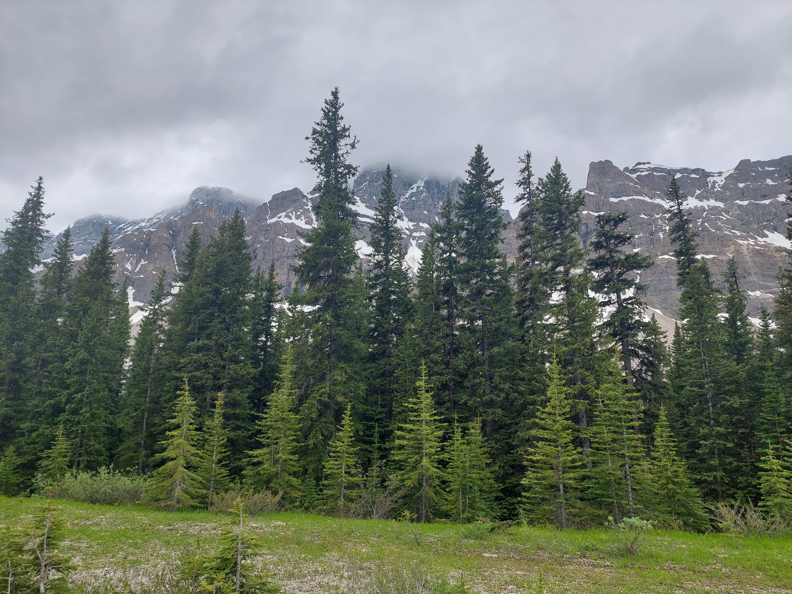
Bow Pass, while not as difficult as Sunwapta Pass, is actually the highest point on the Parkway — and when we got to the top, we made a right and climbed some more, to the parking lot at Bow Summit. From there we hiked to the Peyto Lake Overlook.
Peyto Lake
This took us completely by surprise — we had no idea what we were hiking up to, except that there would probably be some kind of vista at the top. And there was a vista all right, probably one of the most beautiful sights I’d ever seen (so far — our trip wasn’t over), so amazing it didn’t even seem real.
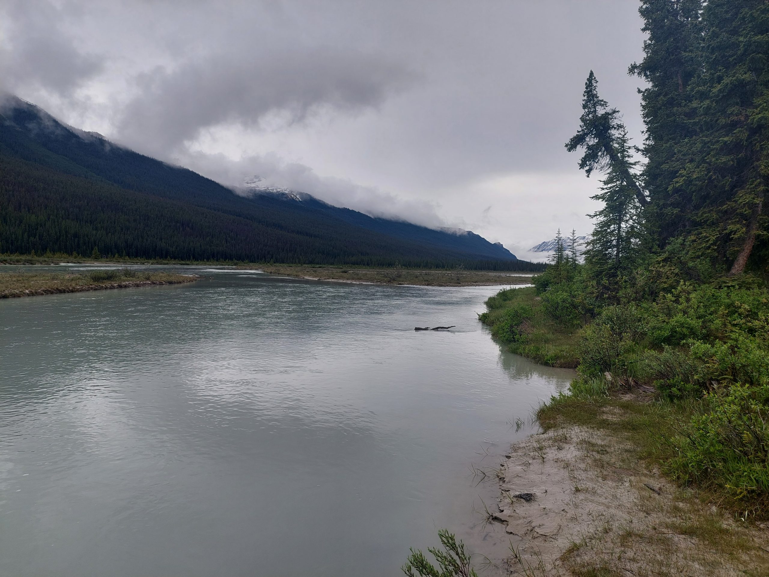
I got a few other photos:
I even took some video, hoping that it would do the scene more justice, but even that didn’t quite capture it:
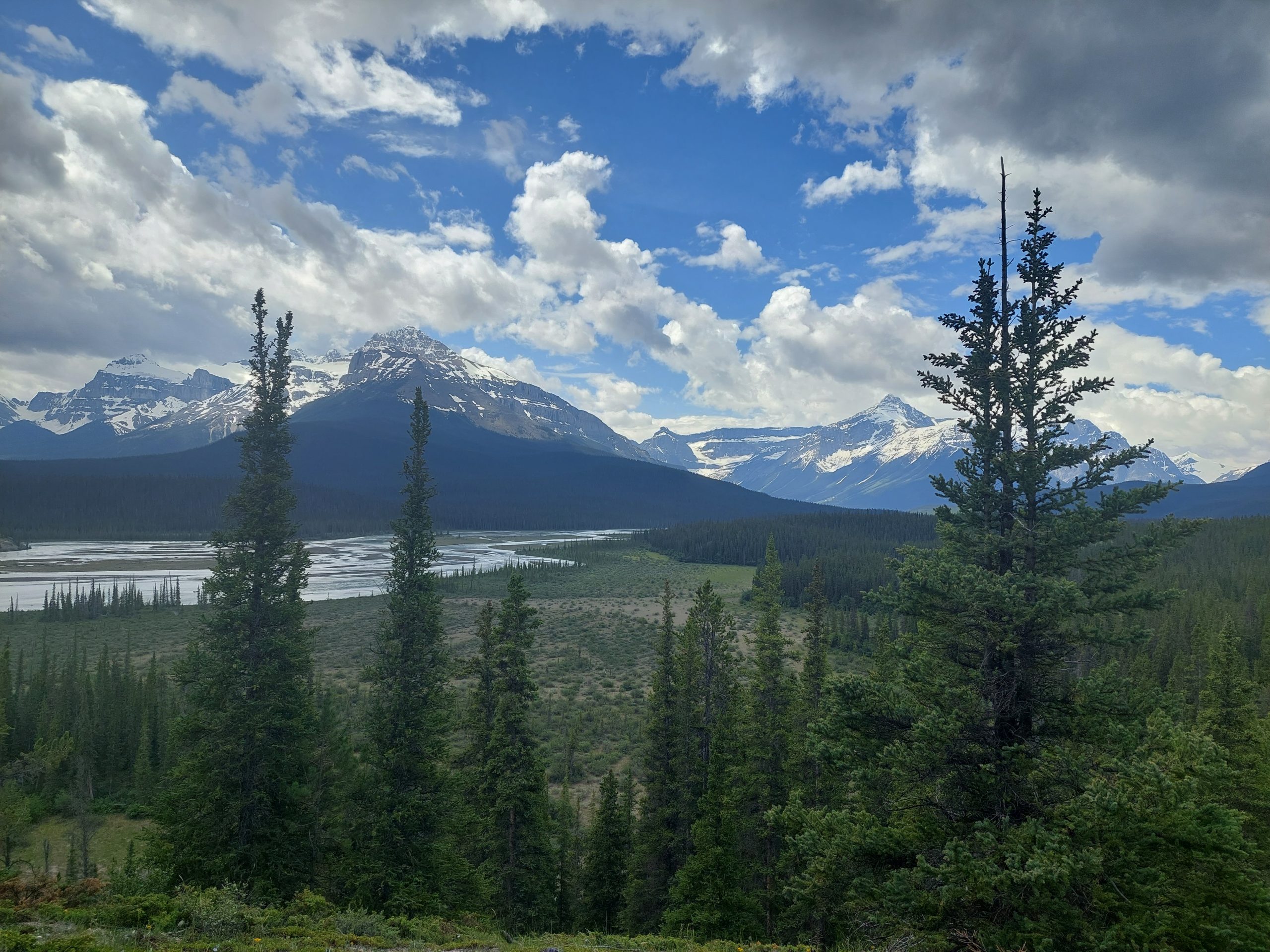
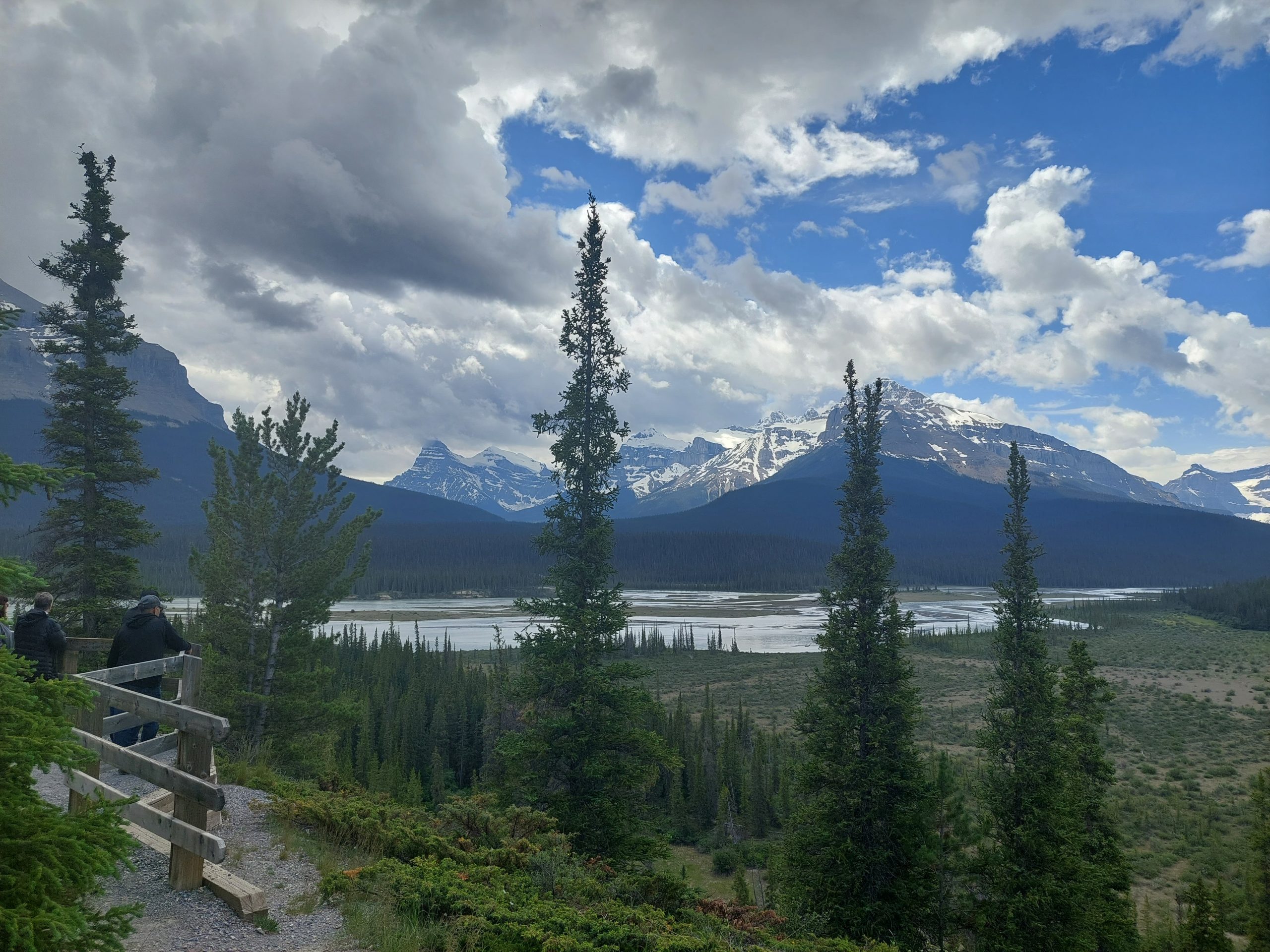
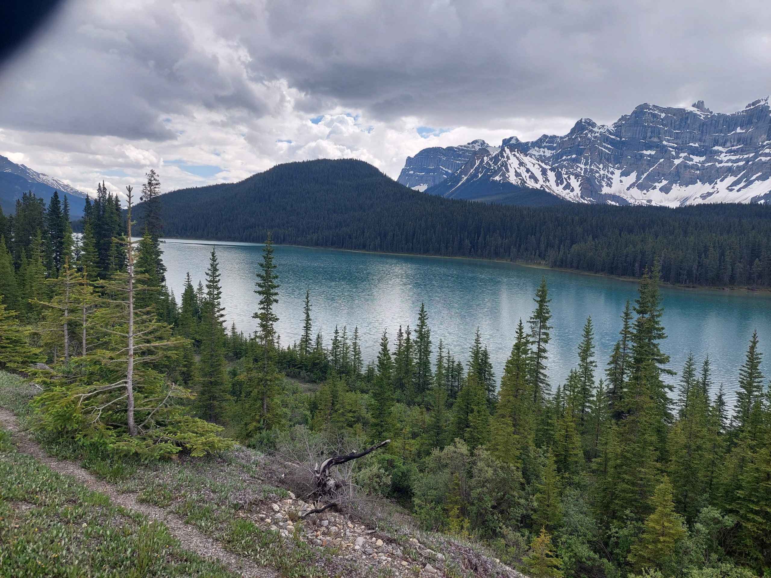
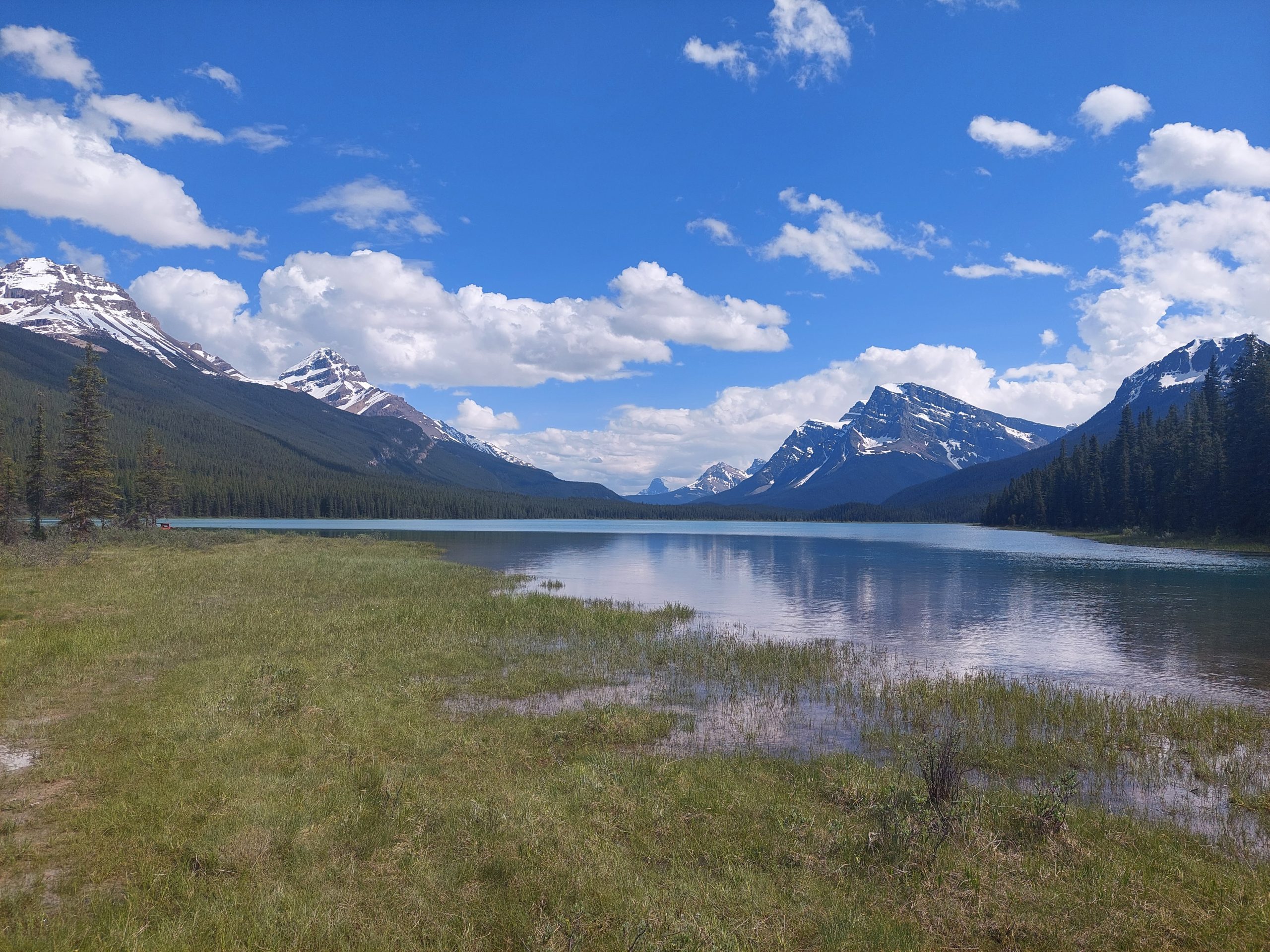
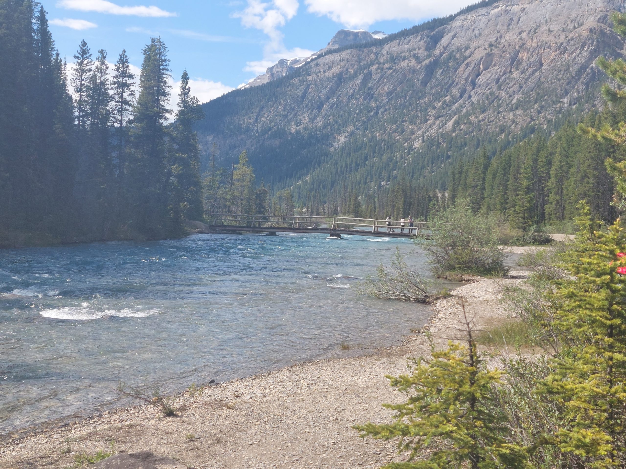
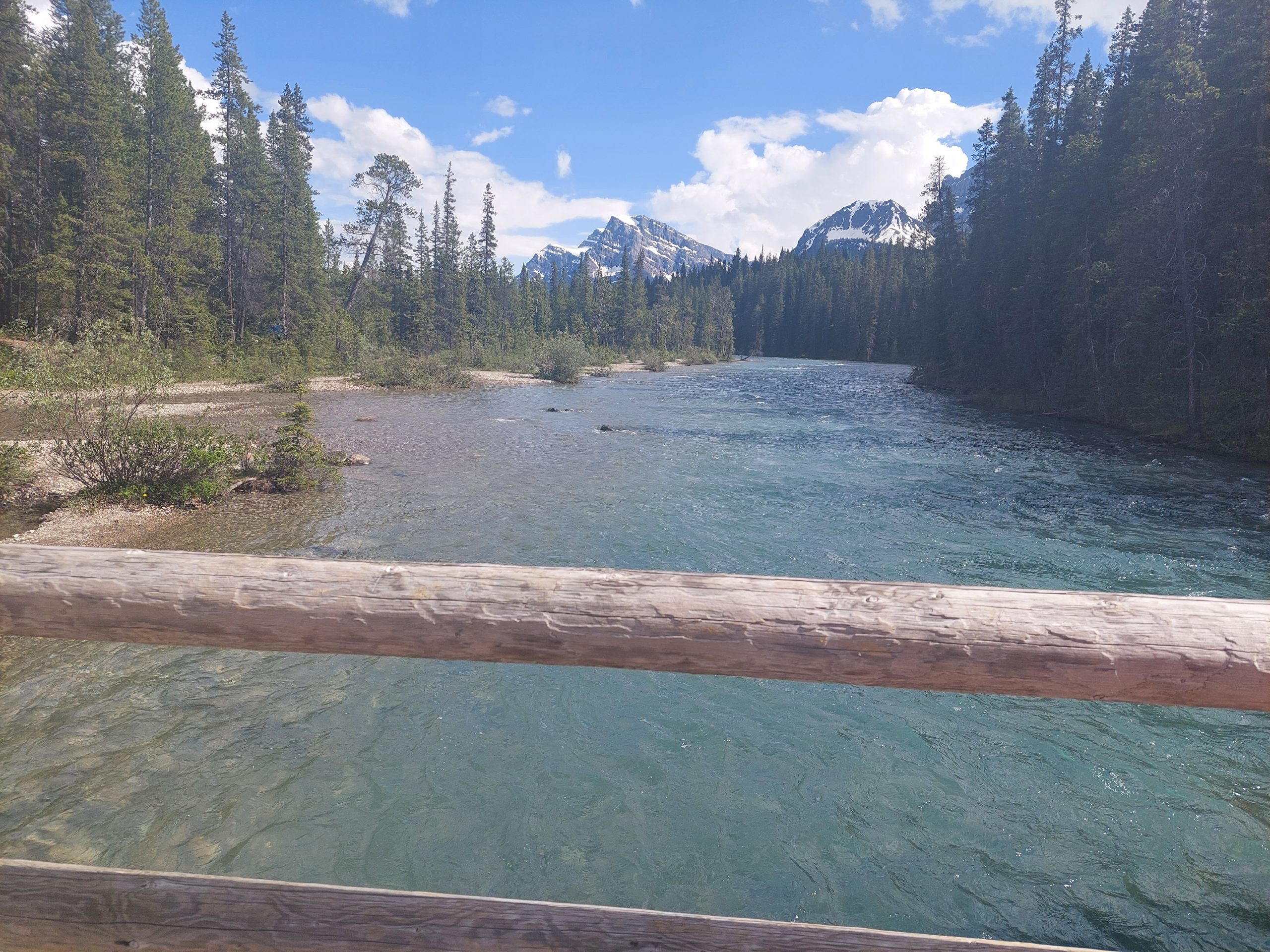
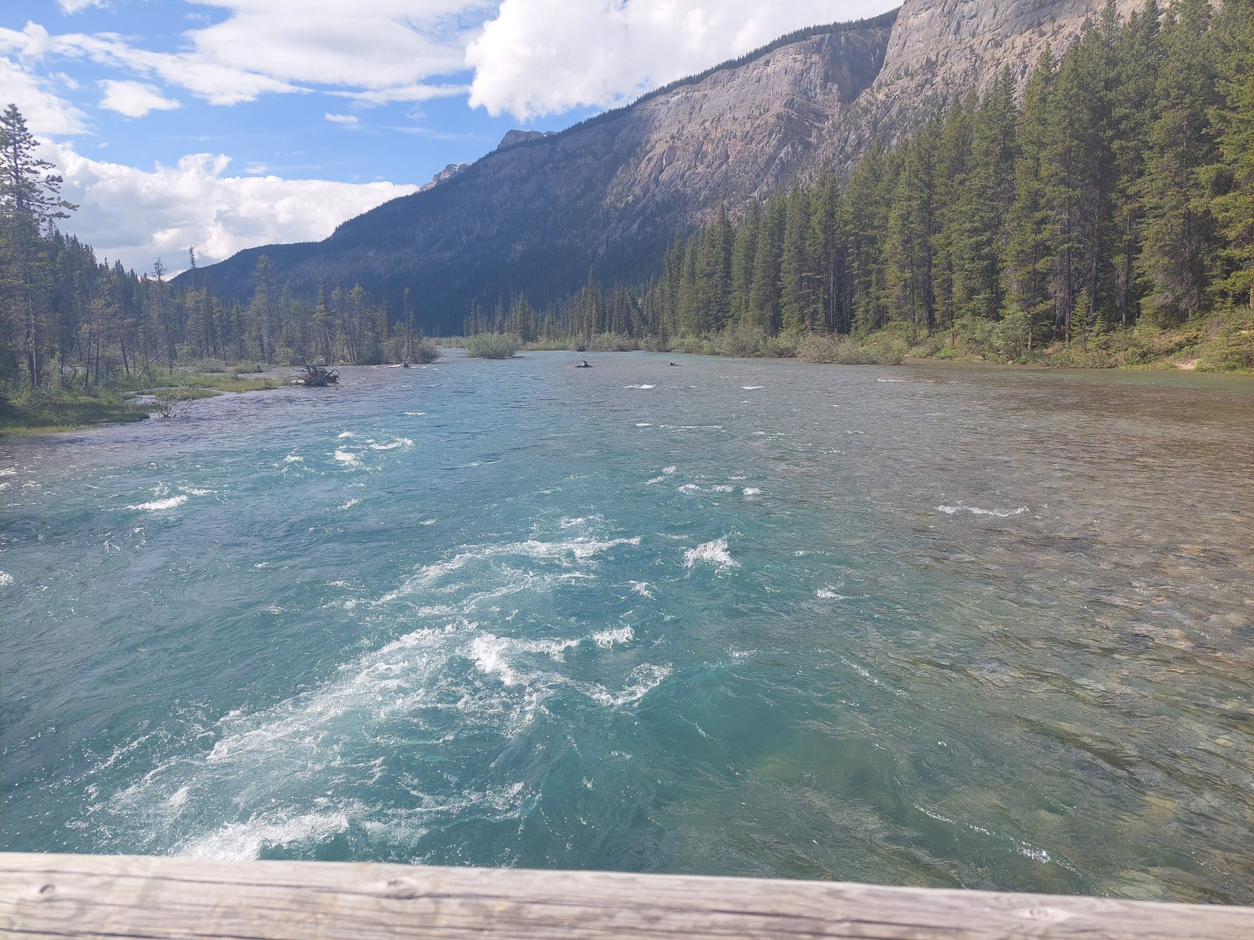
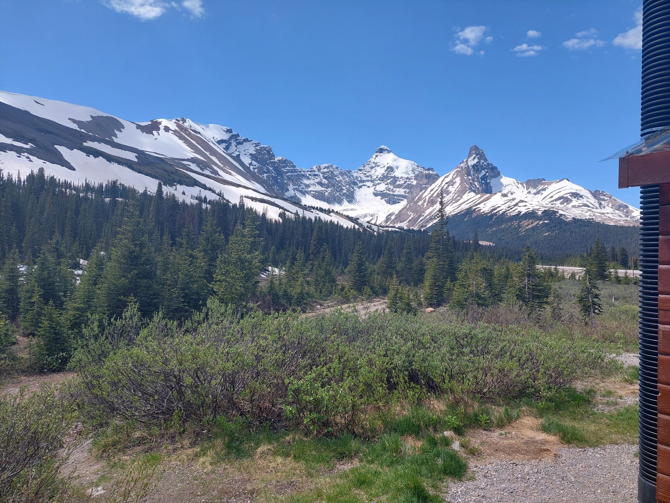
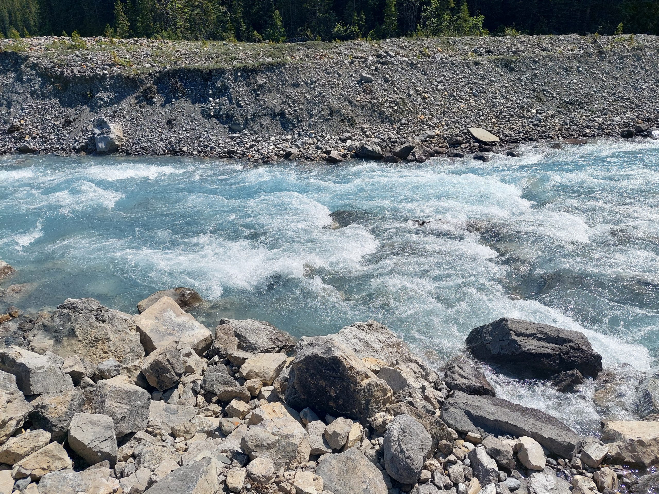
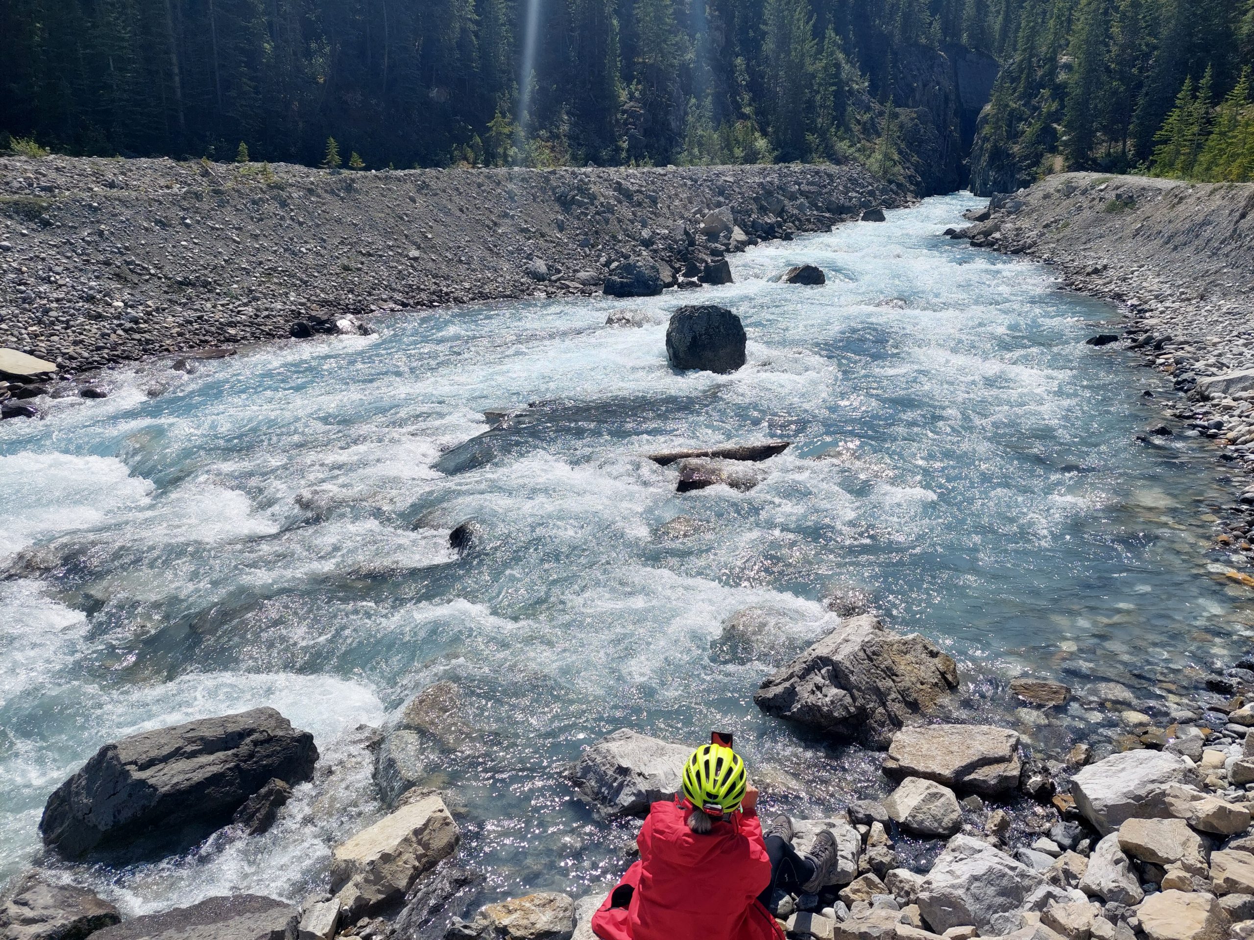
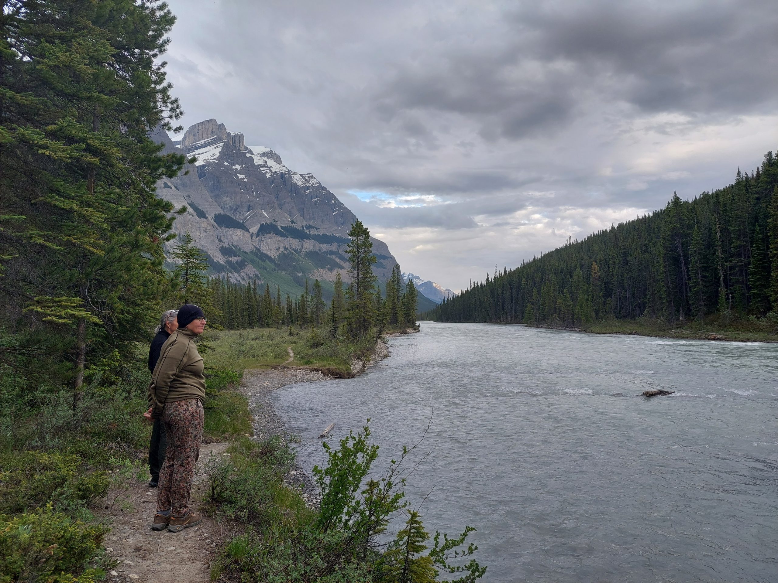
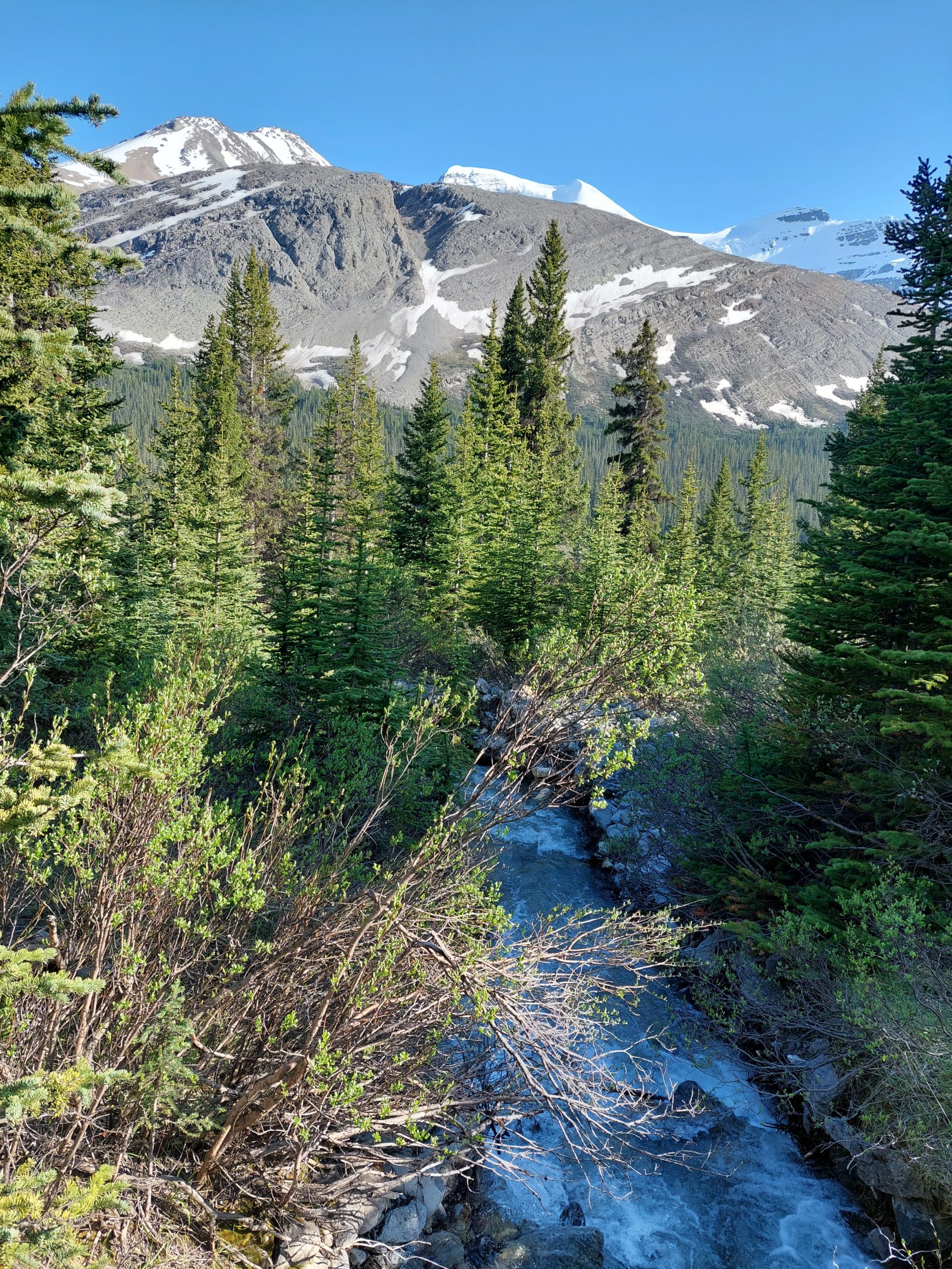
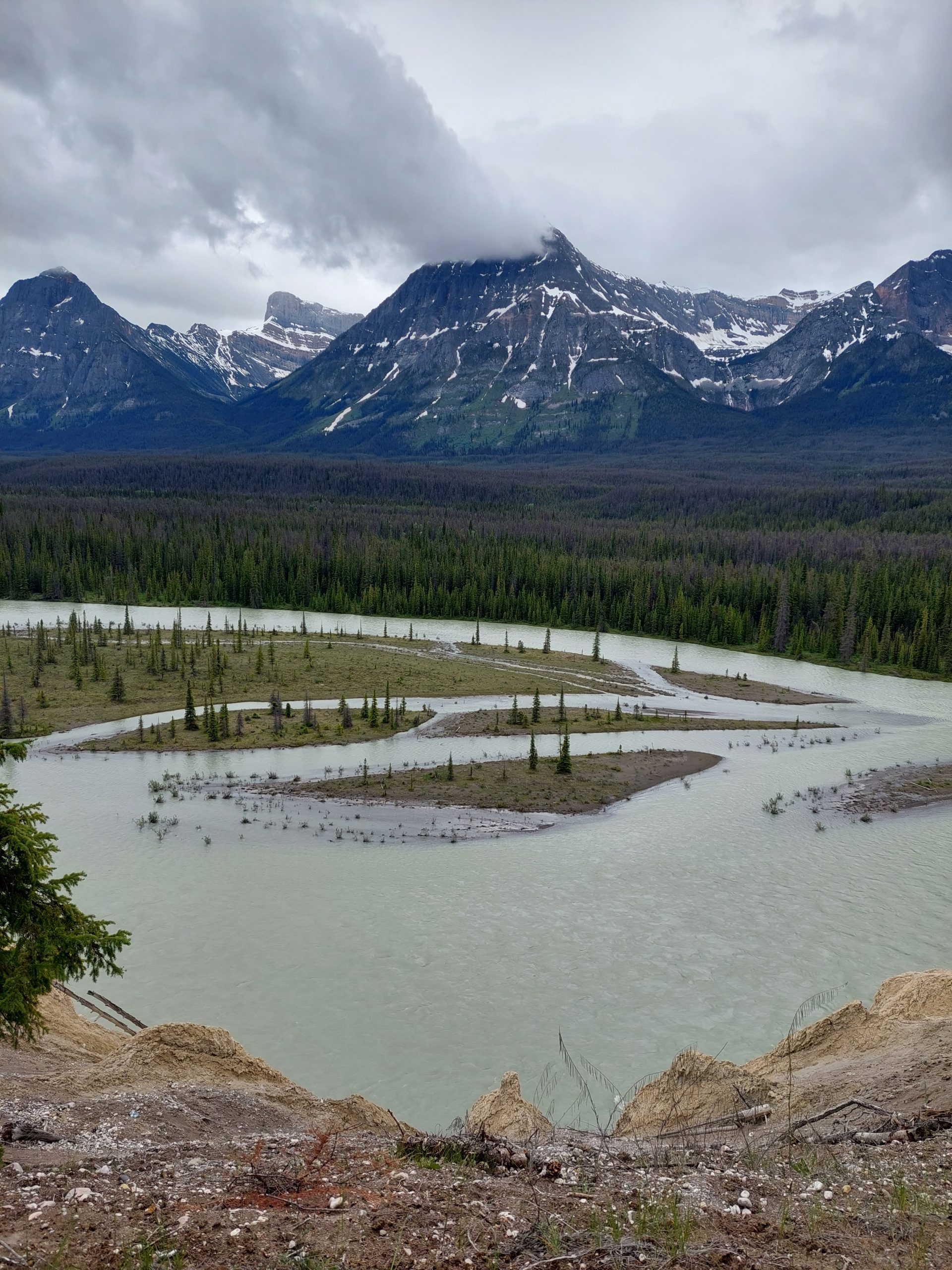
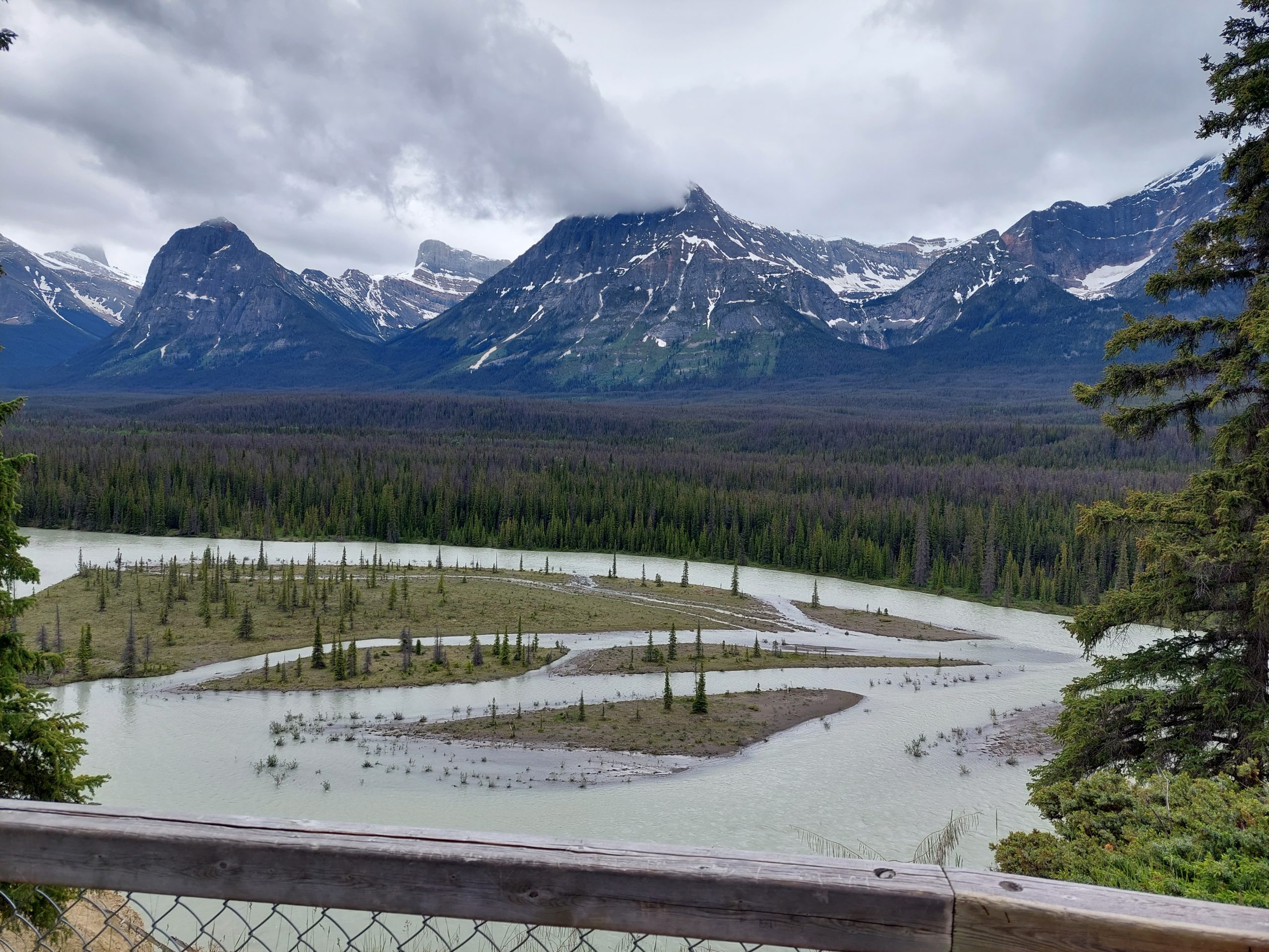
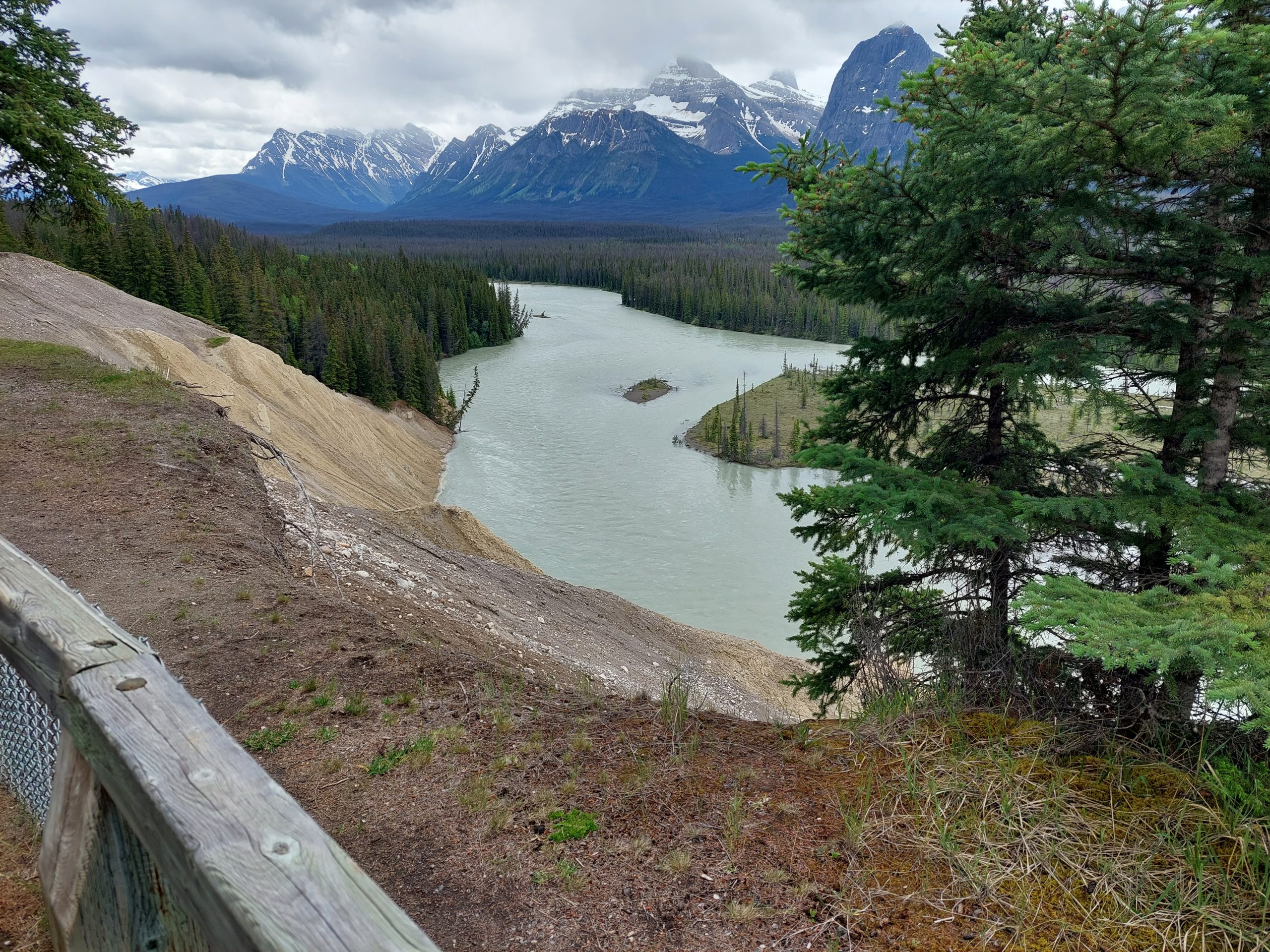
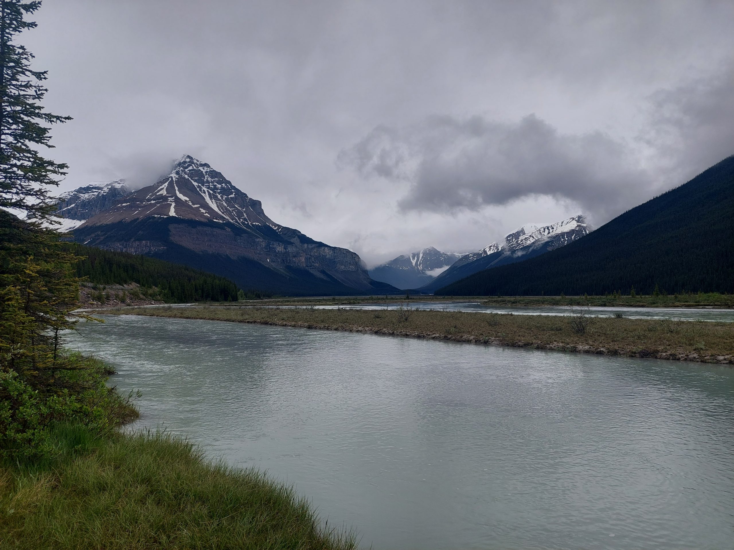
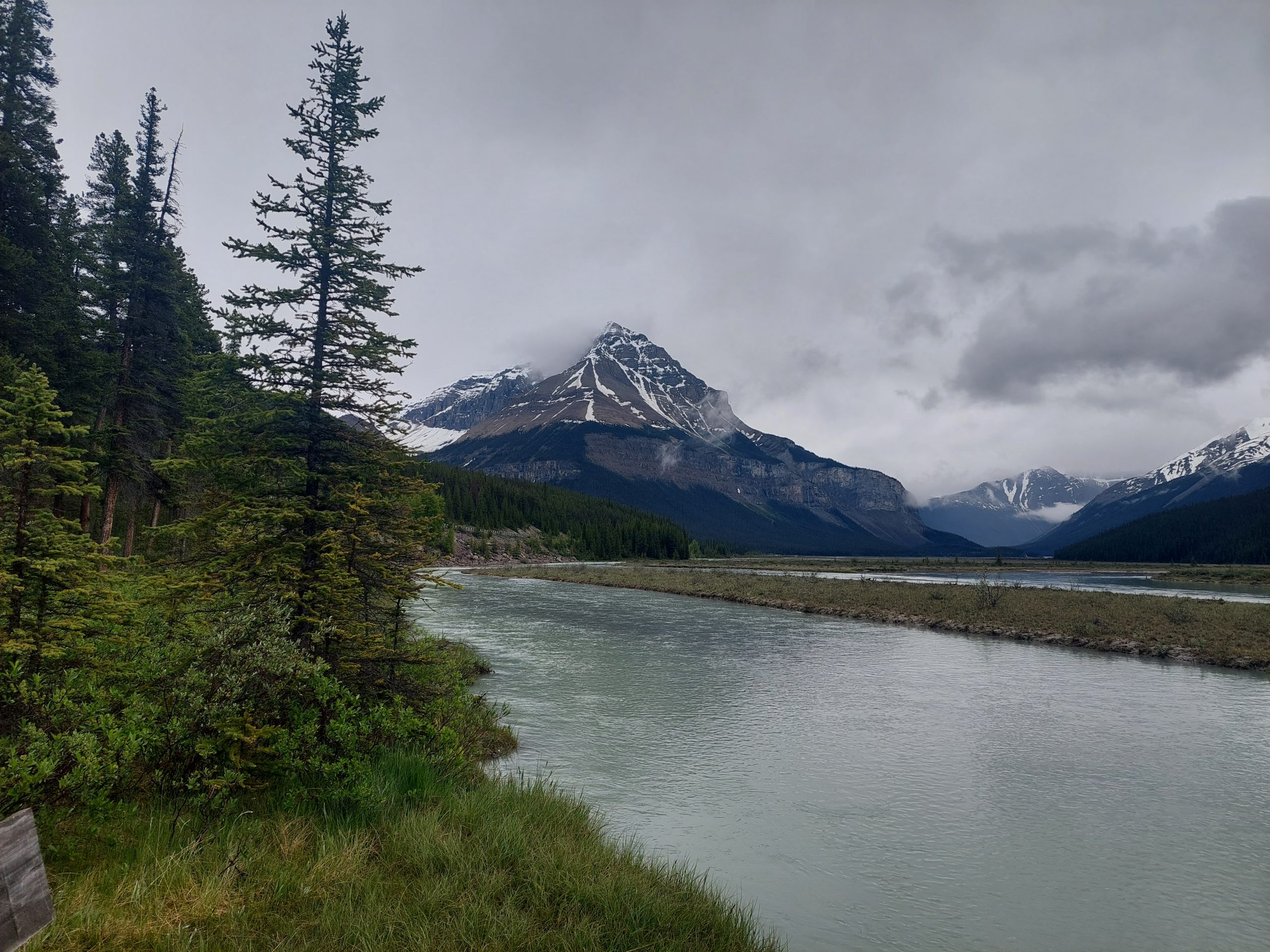
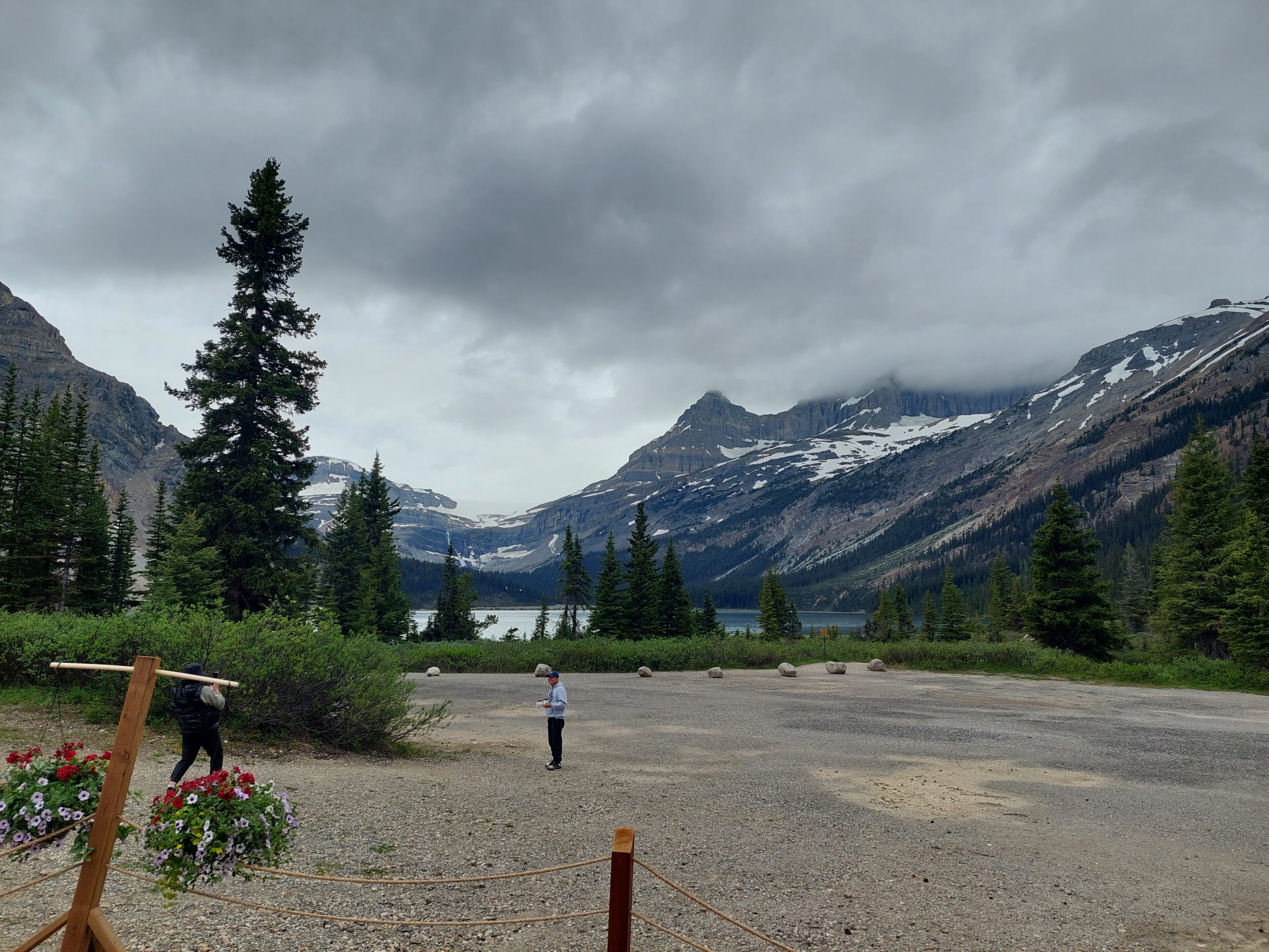
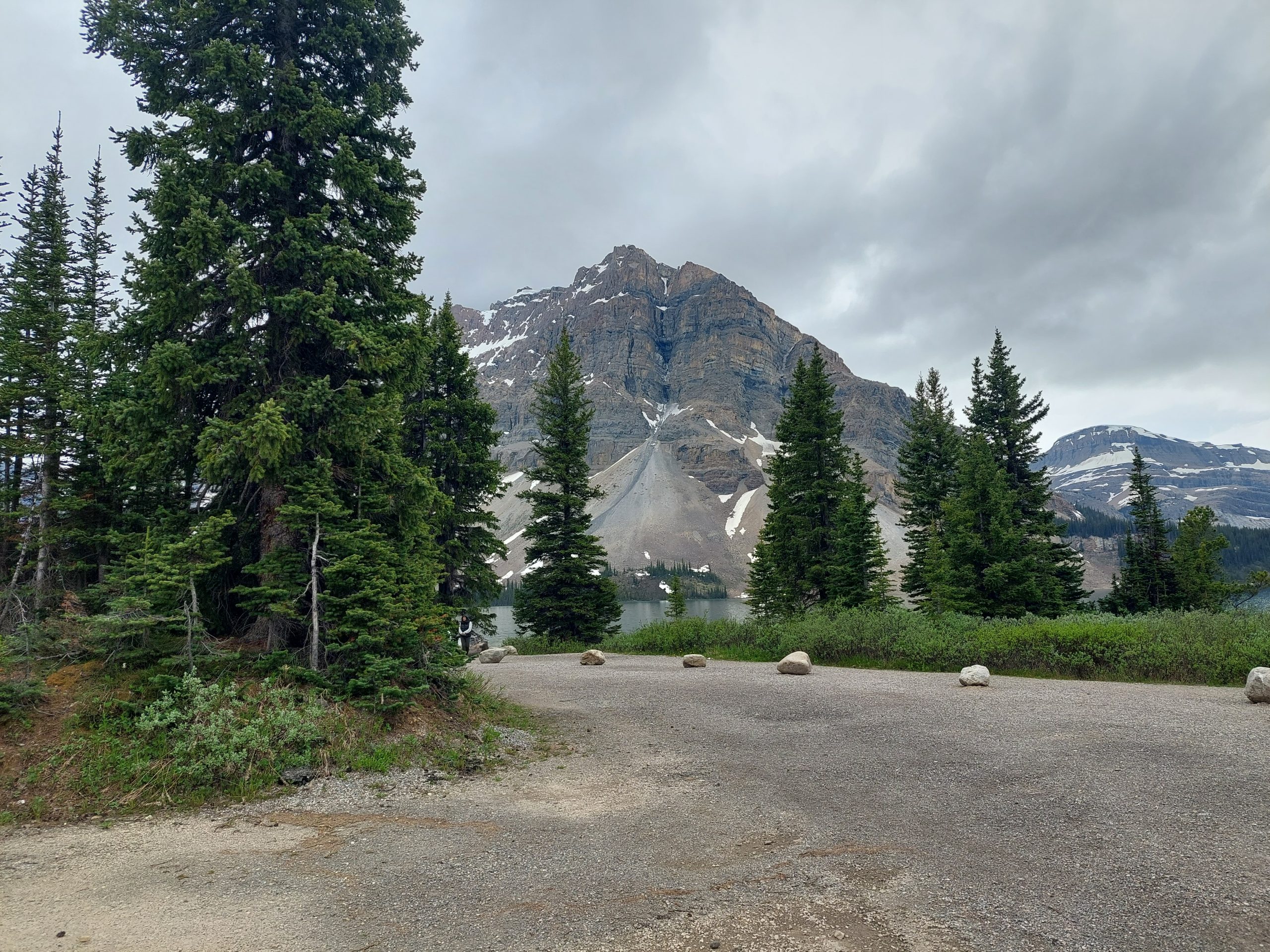
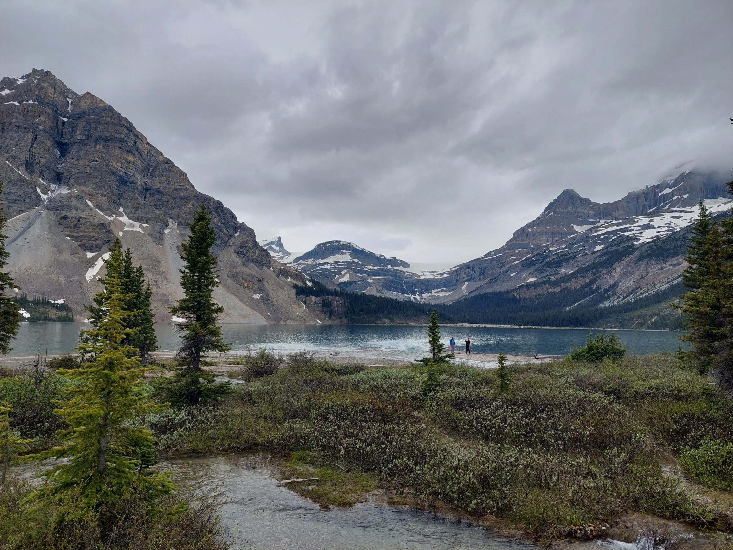
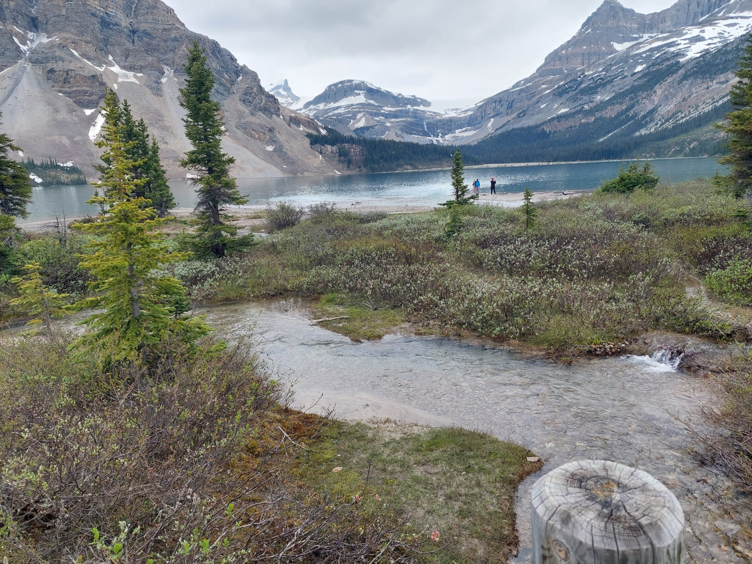
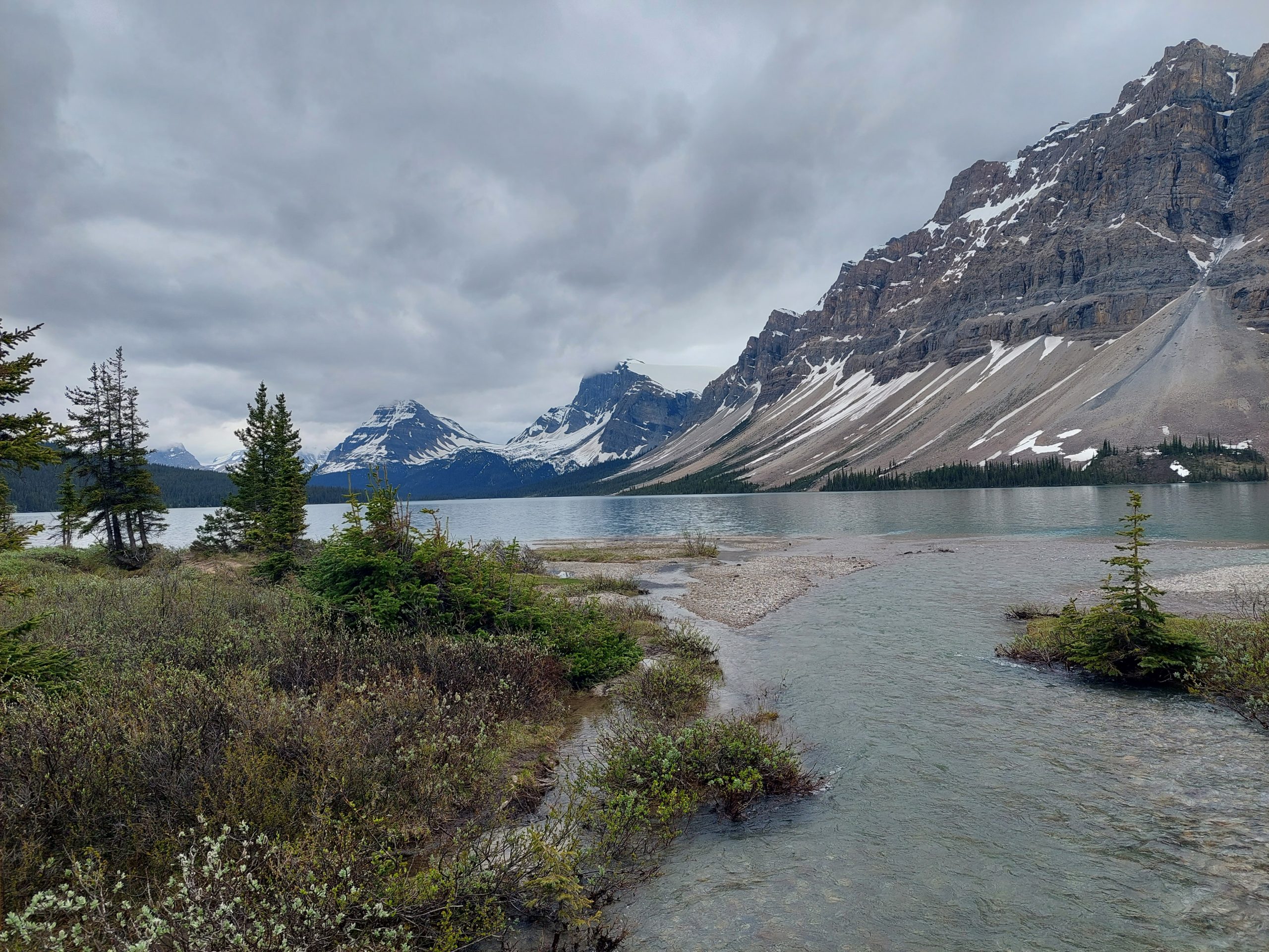
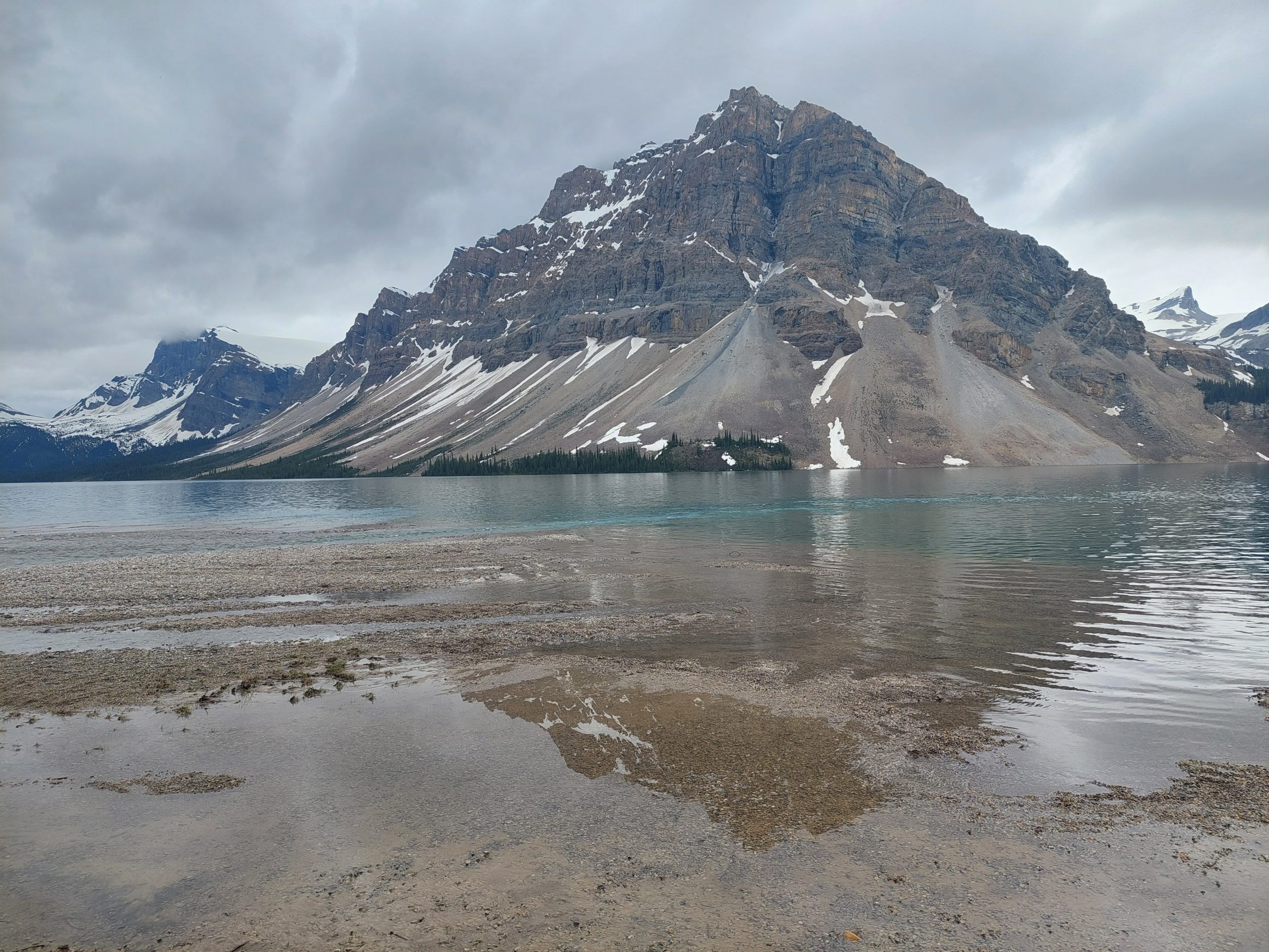
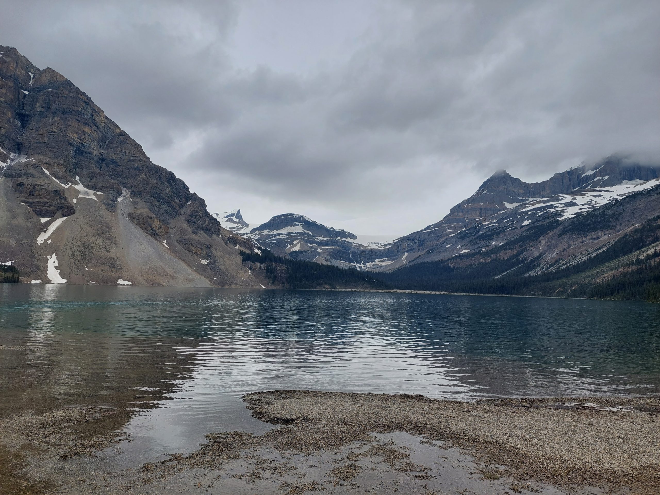
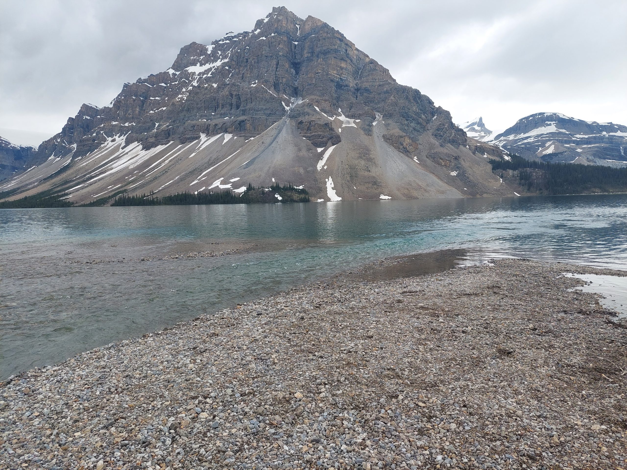
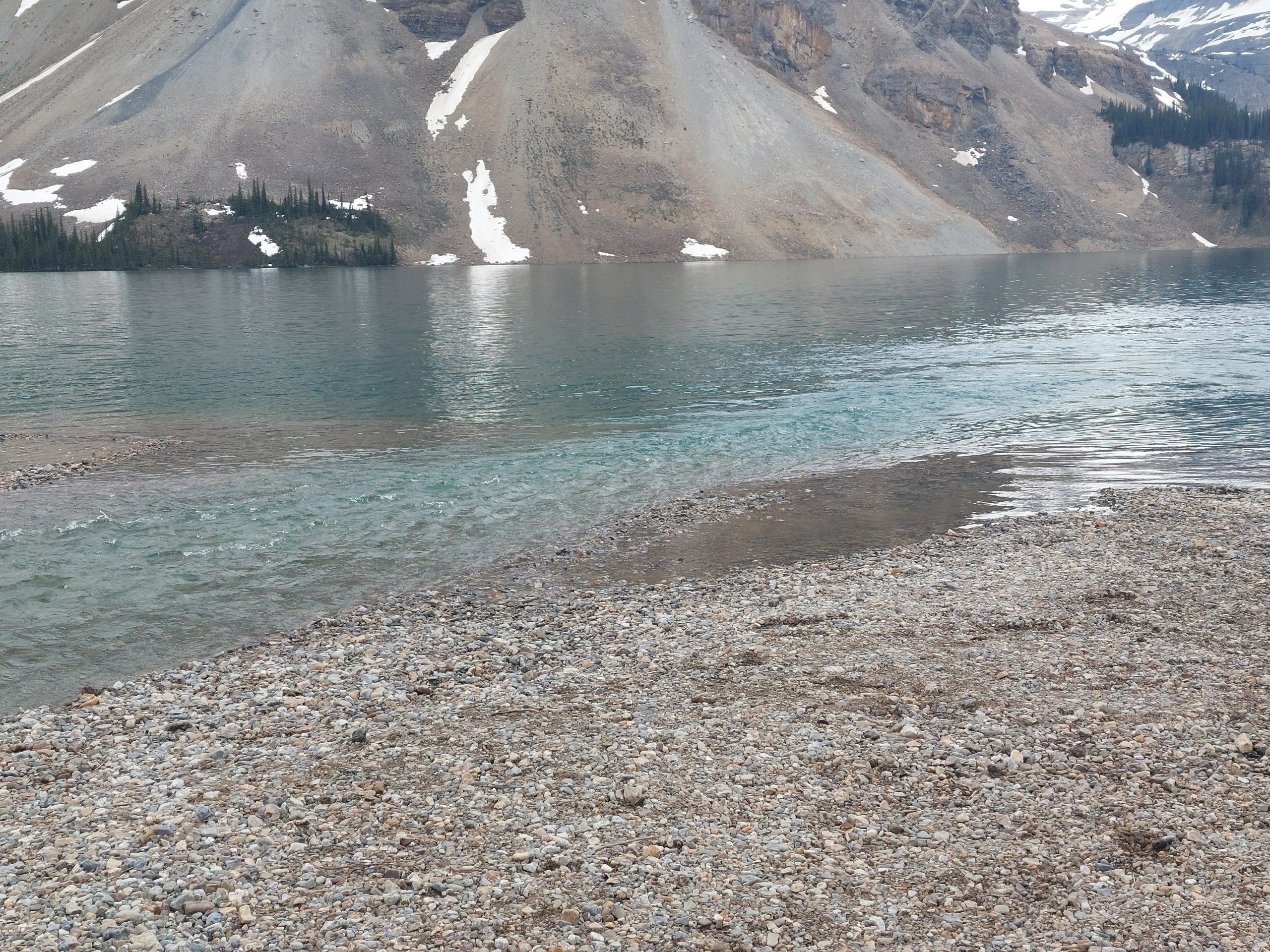
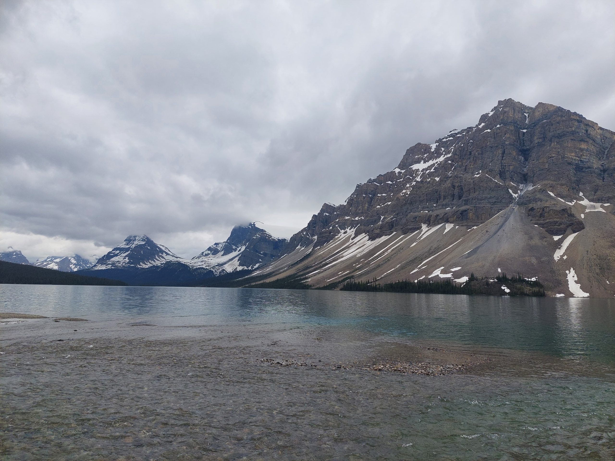
Bow Lake
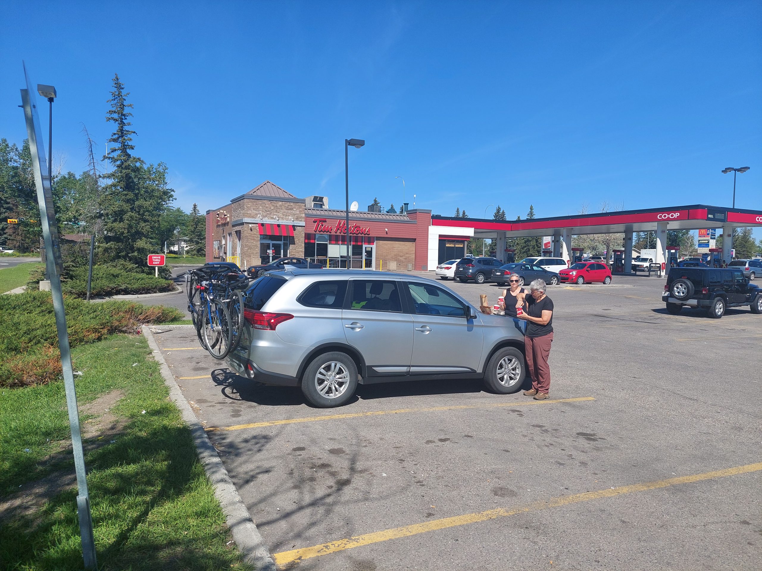
We continued on, downhill to our next stop: The Lodge At Bow Lake. This was listed in our guides as Num-Ti-Jah Lodge, but apparently that name was less than appropriate so they’d renamed it. They also were closed for renovations, but there was an outdoor dining area, and the kitchen/cafe was still open, so we came in and bought literally everything they had for sale. Sweet potato curry soup, sausage rolls (and a bunch more for later), potato chips and brownies (ditto), and coffee. We got our goodies and sat down to enjoy the view. Anne and I also took a walk while Julie finished her lunch.
Apparently the lodge cafe was open because they did an open-mic session on Sunday afternoon, but we’d missed it. Some guy came in and asked us if the guitar player had come and gone, and we replied that we hadn’t seen anything so we expected that it was all over for the day. Remember this guy…
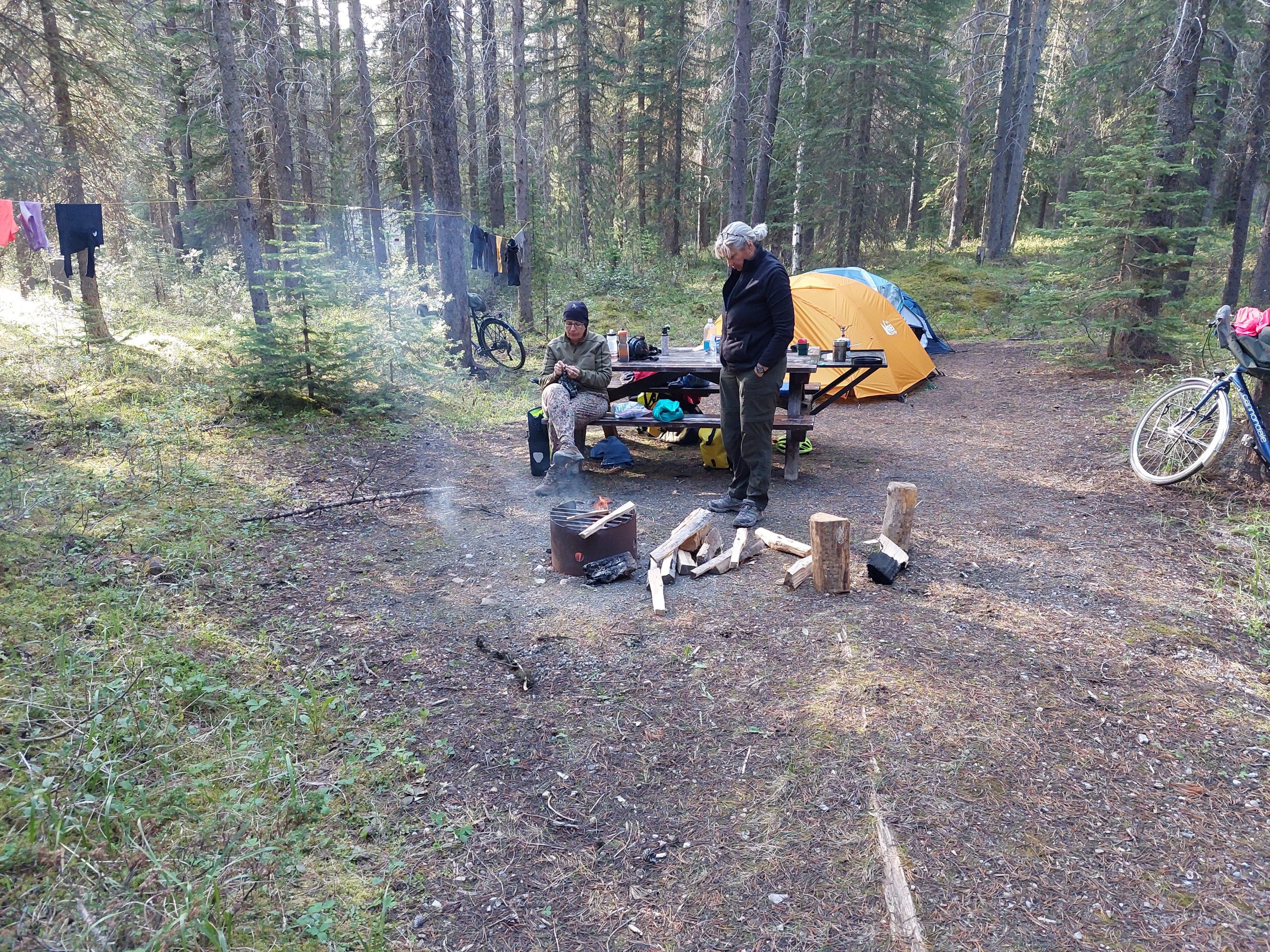
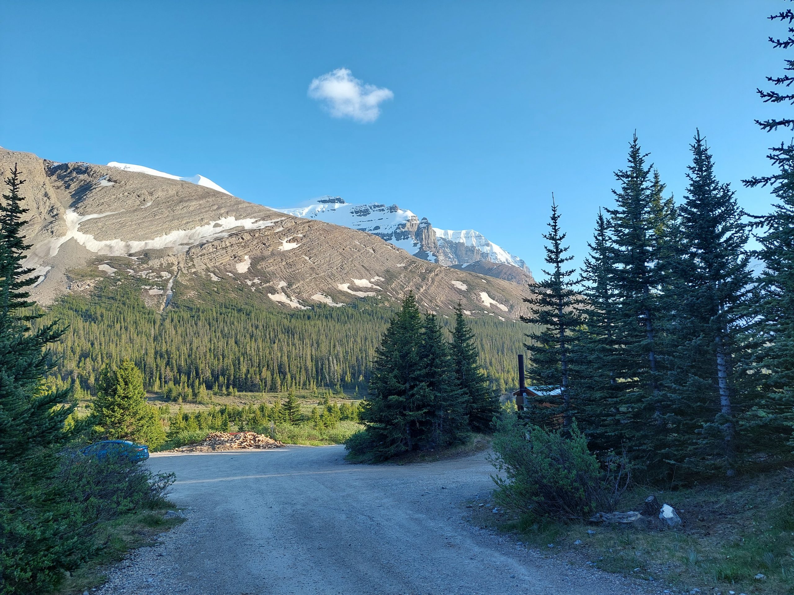
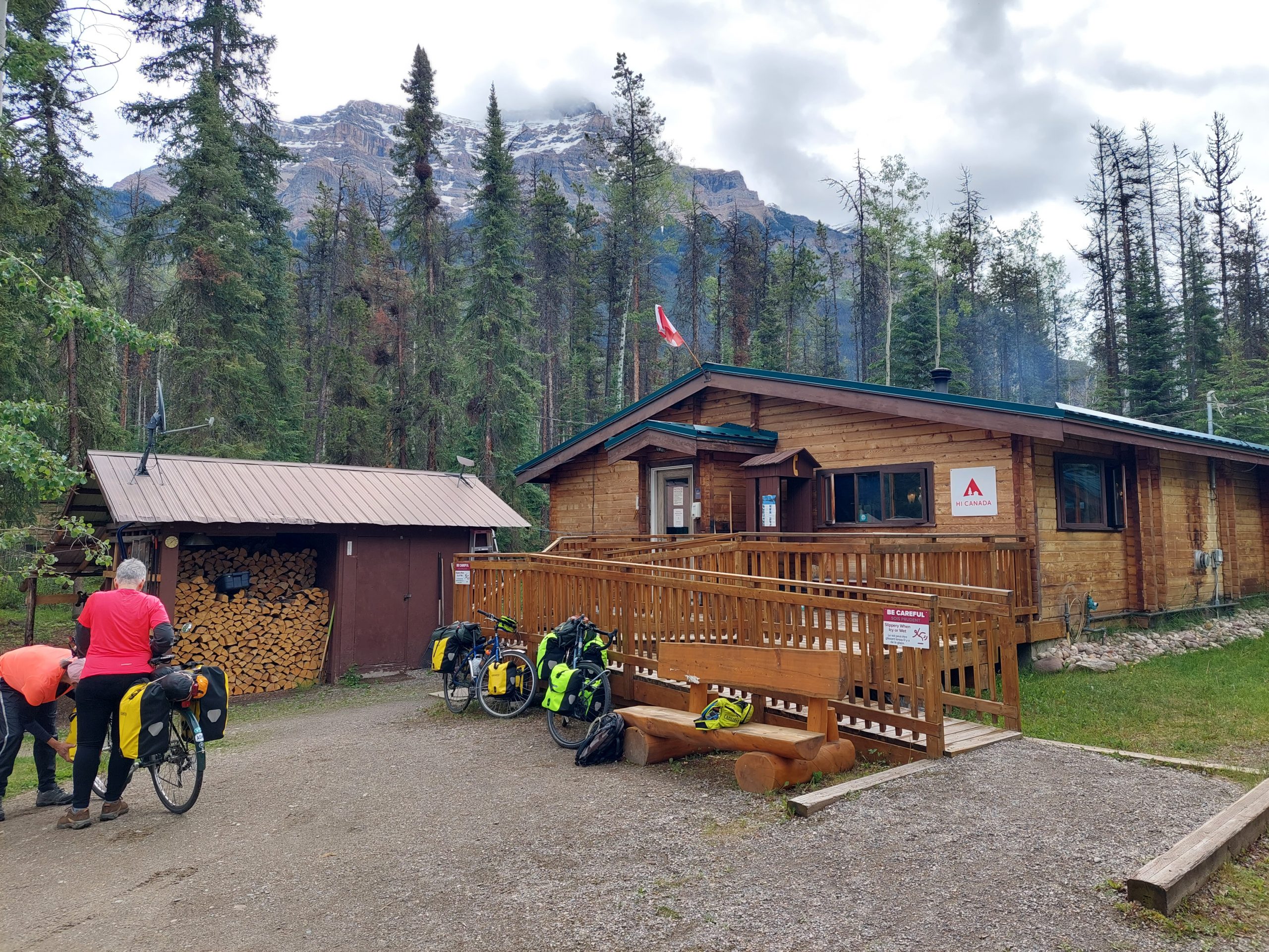
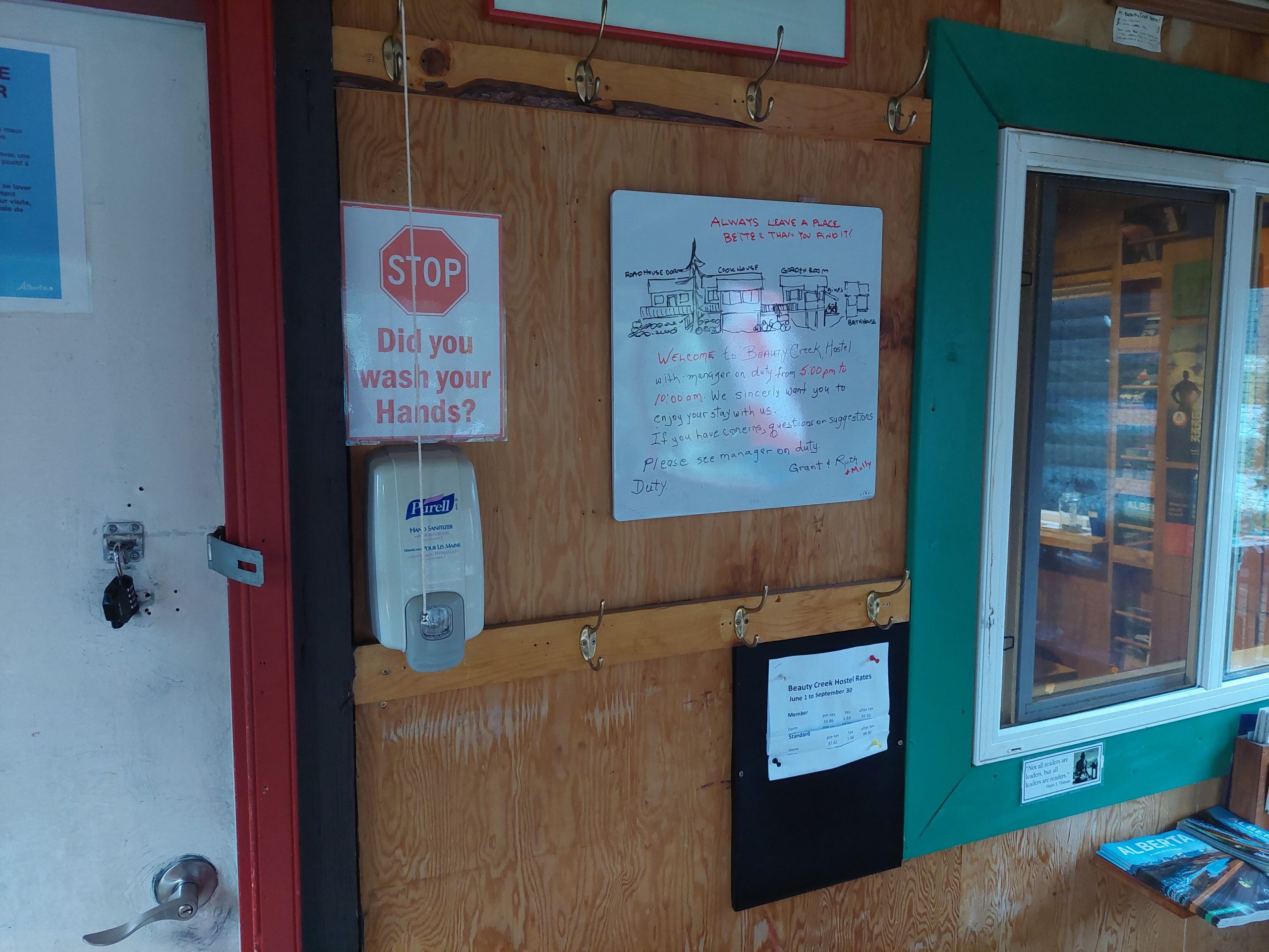
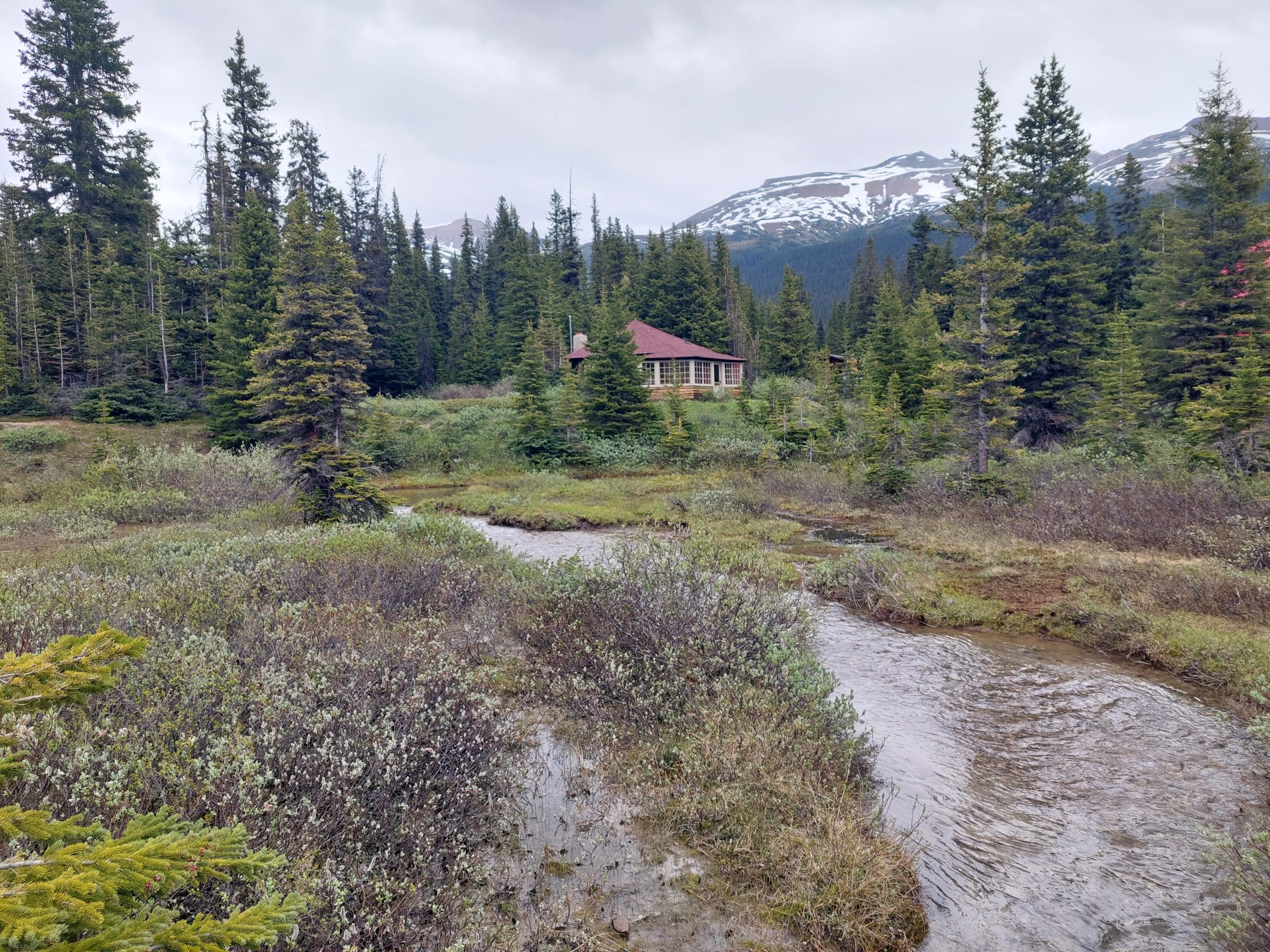
Mosquito Creek Hostel
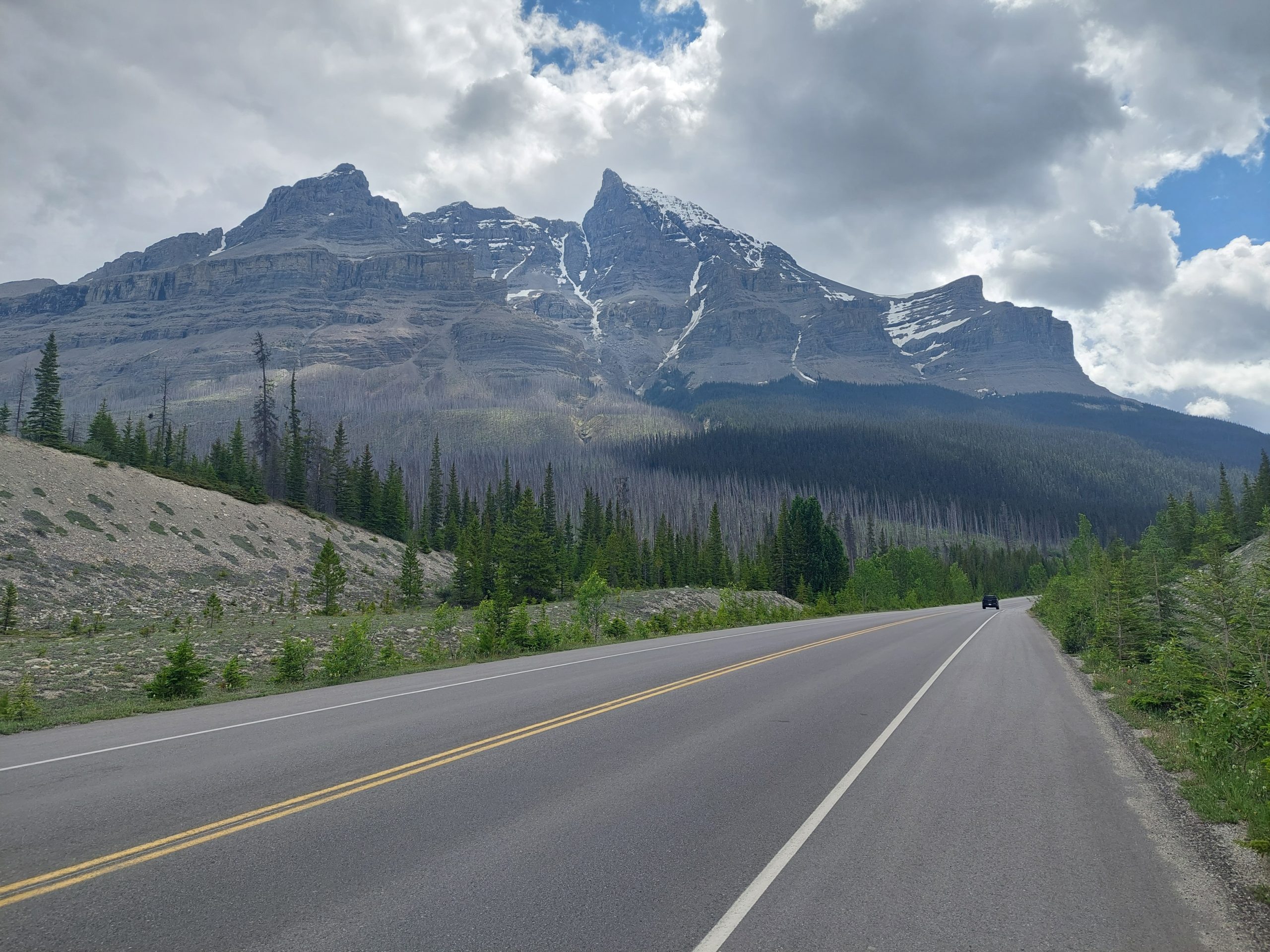
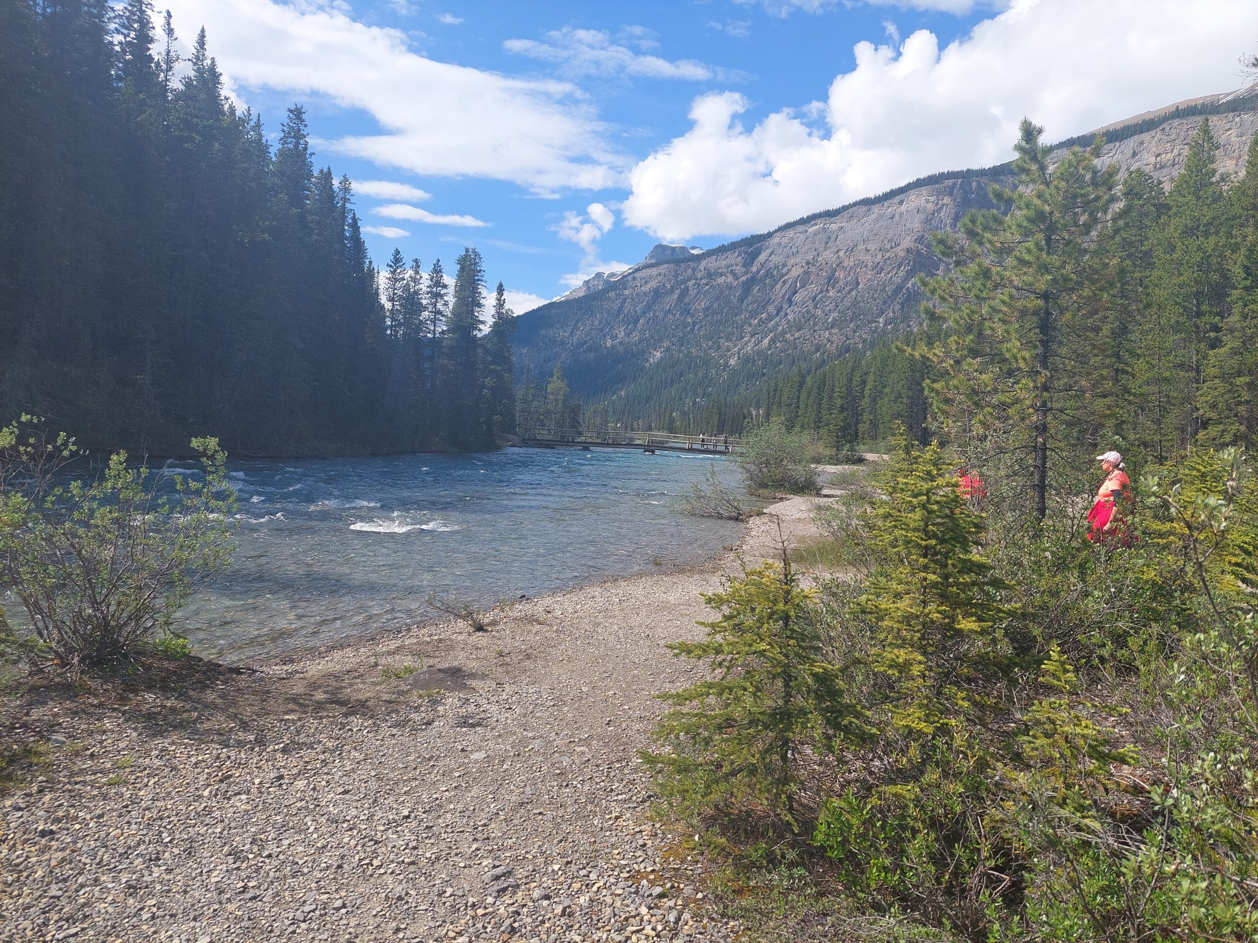
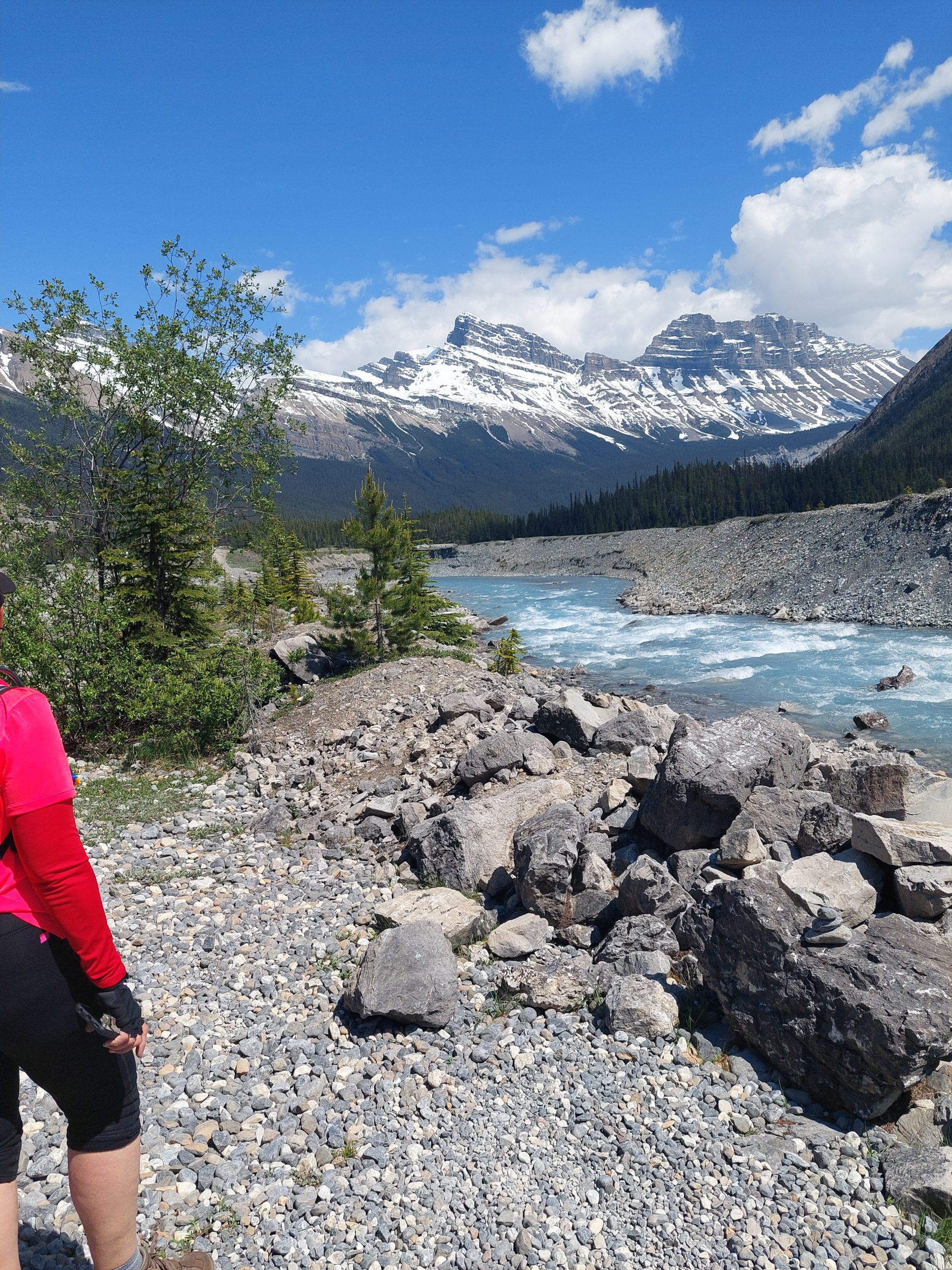
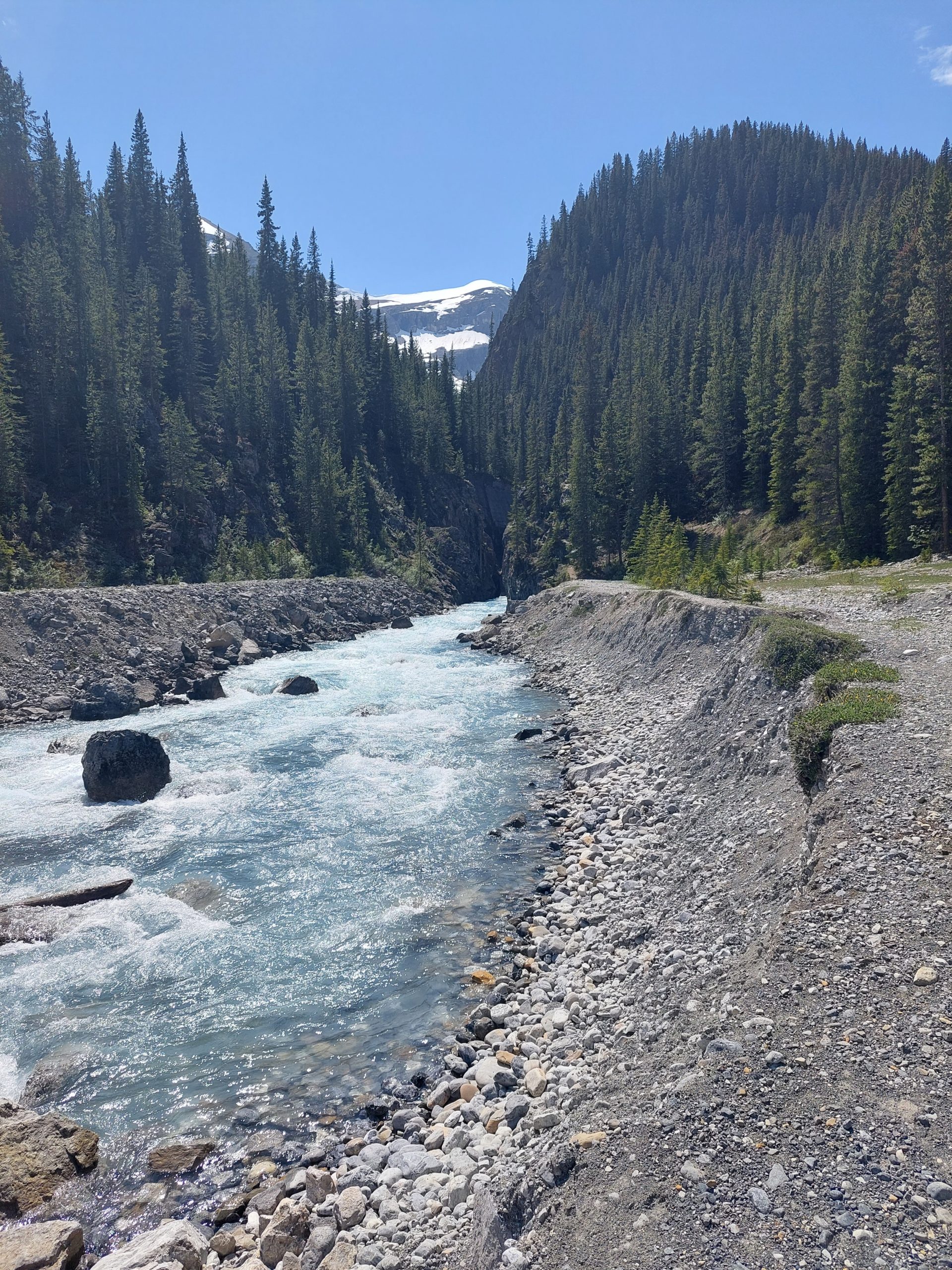
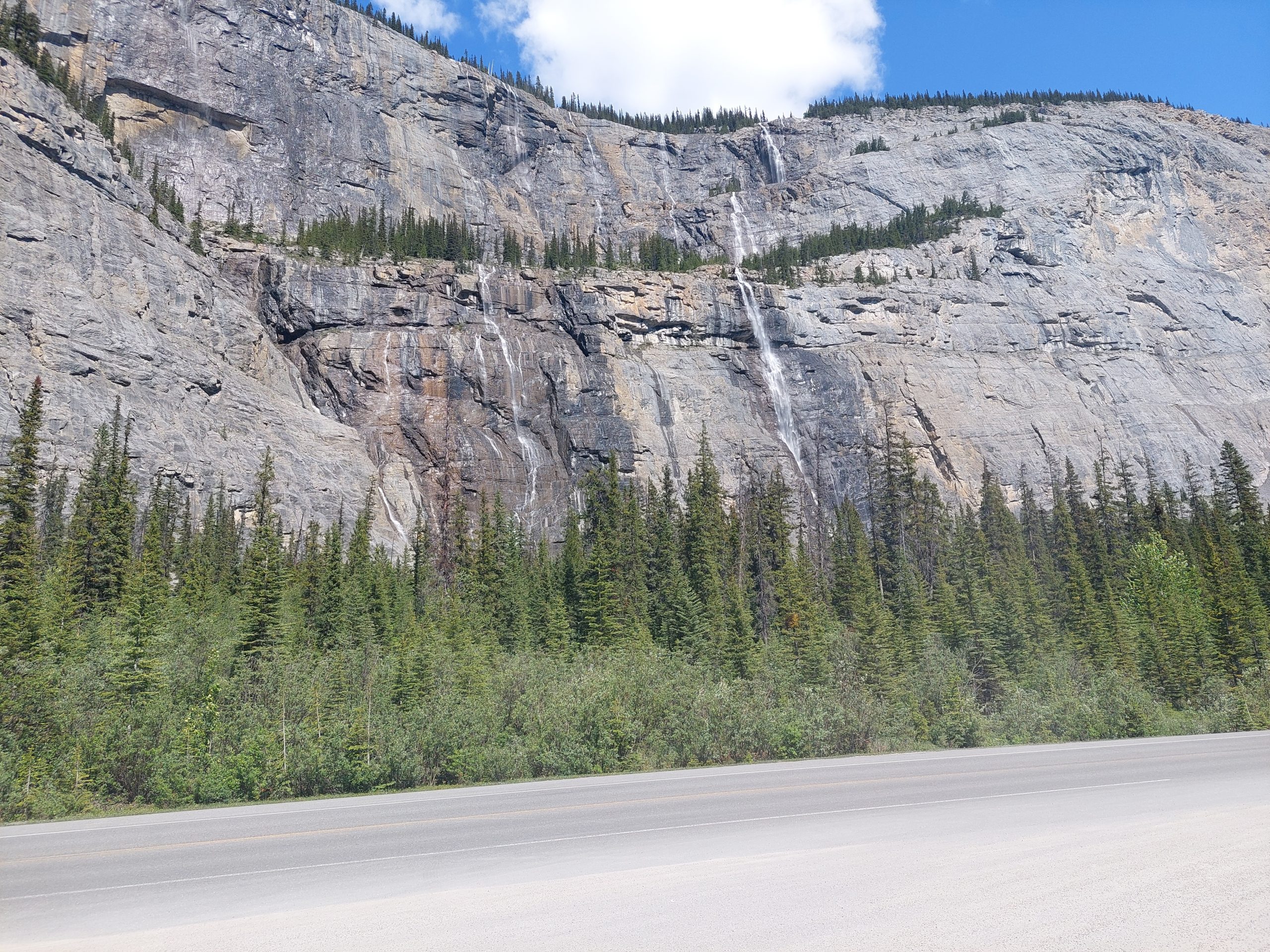
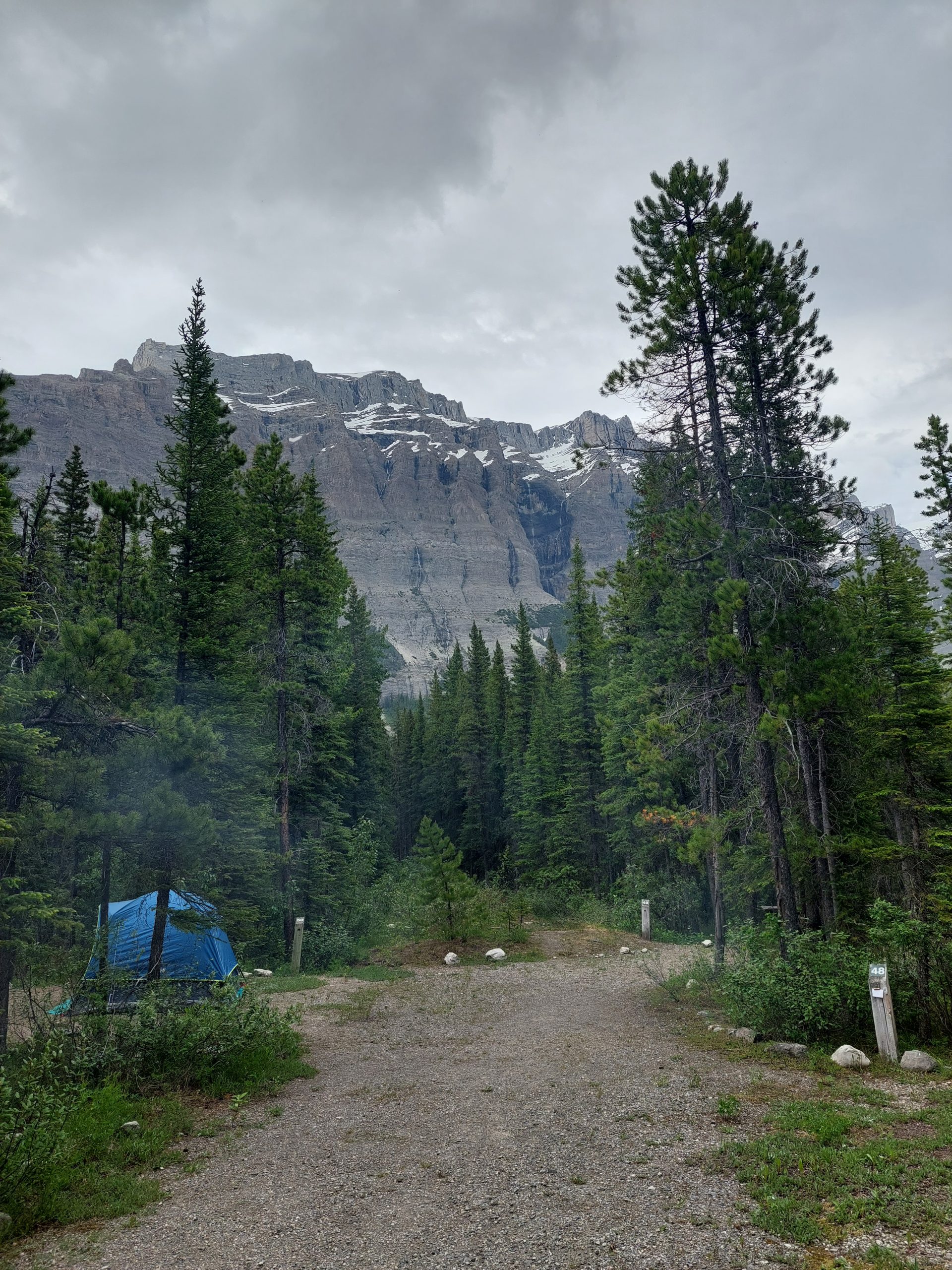
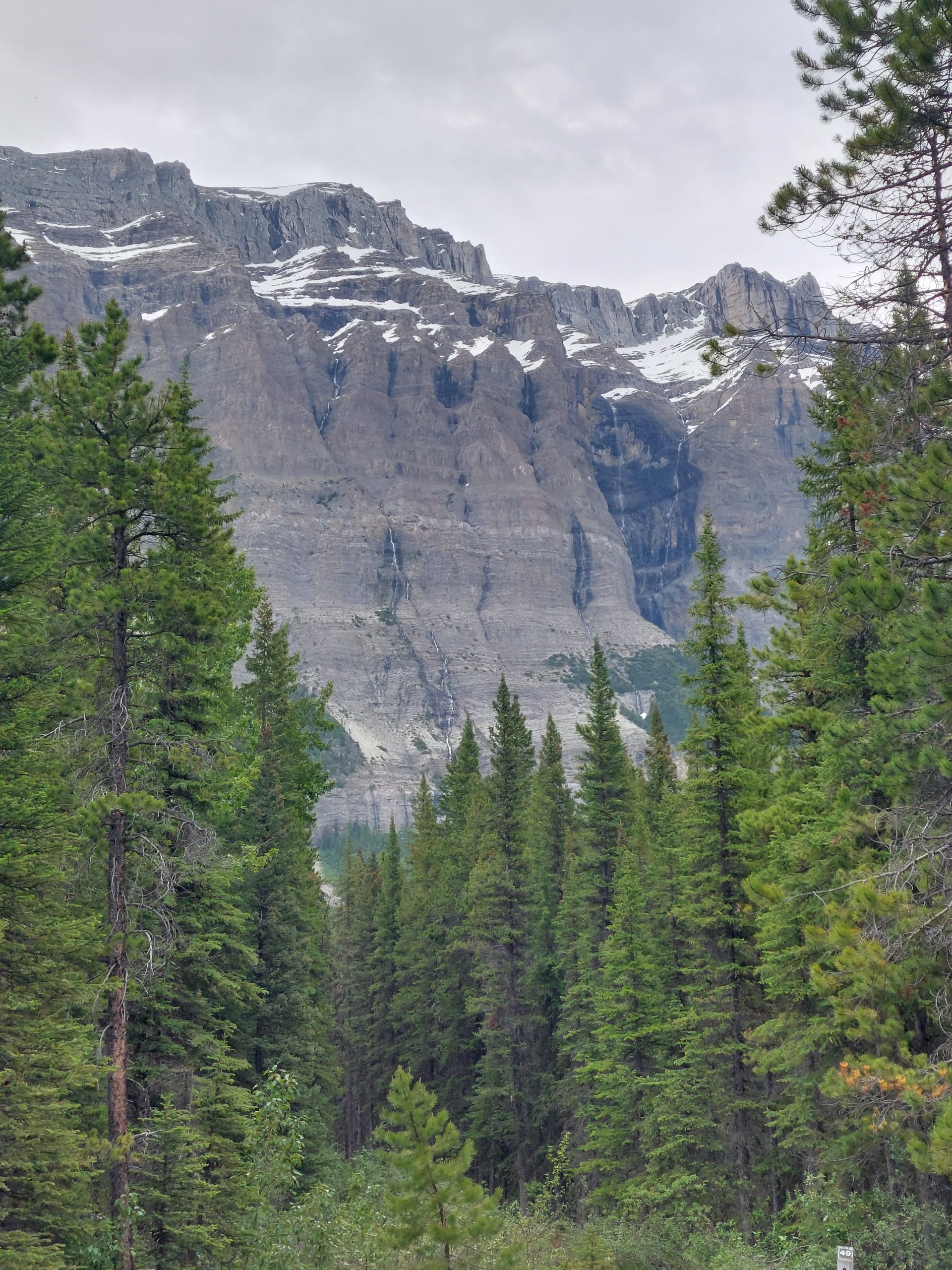
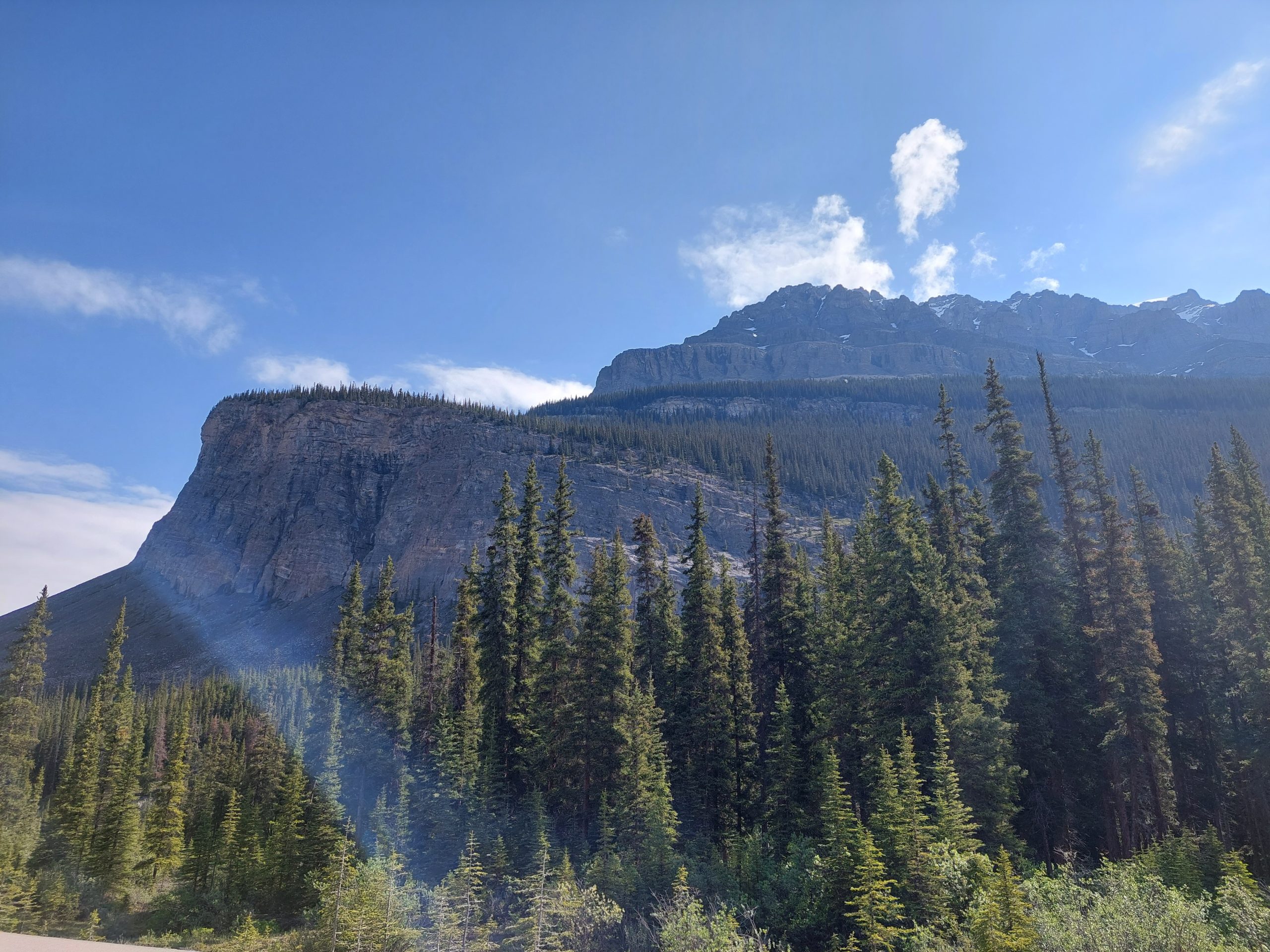
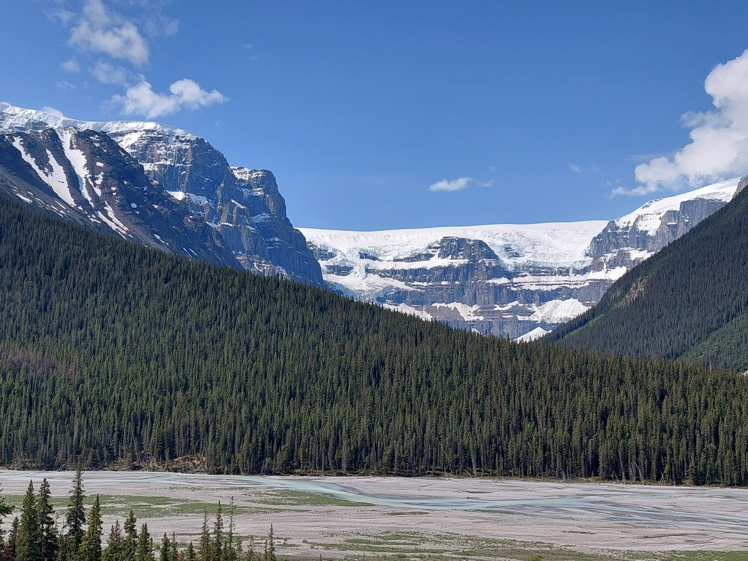
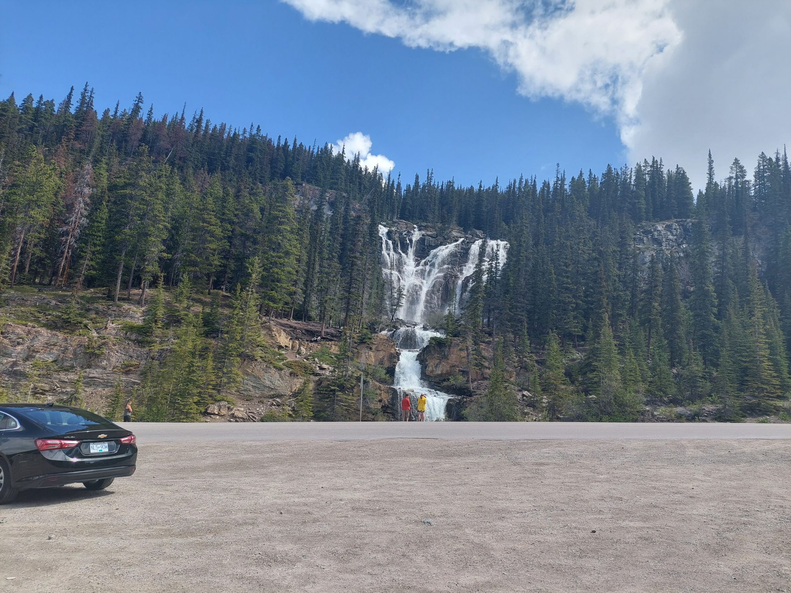
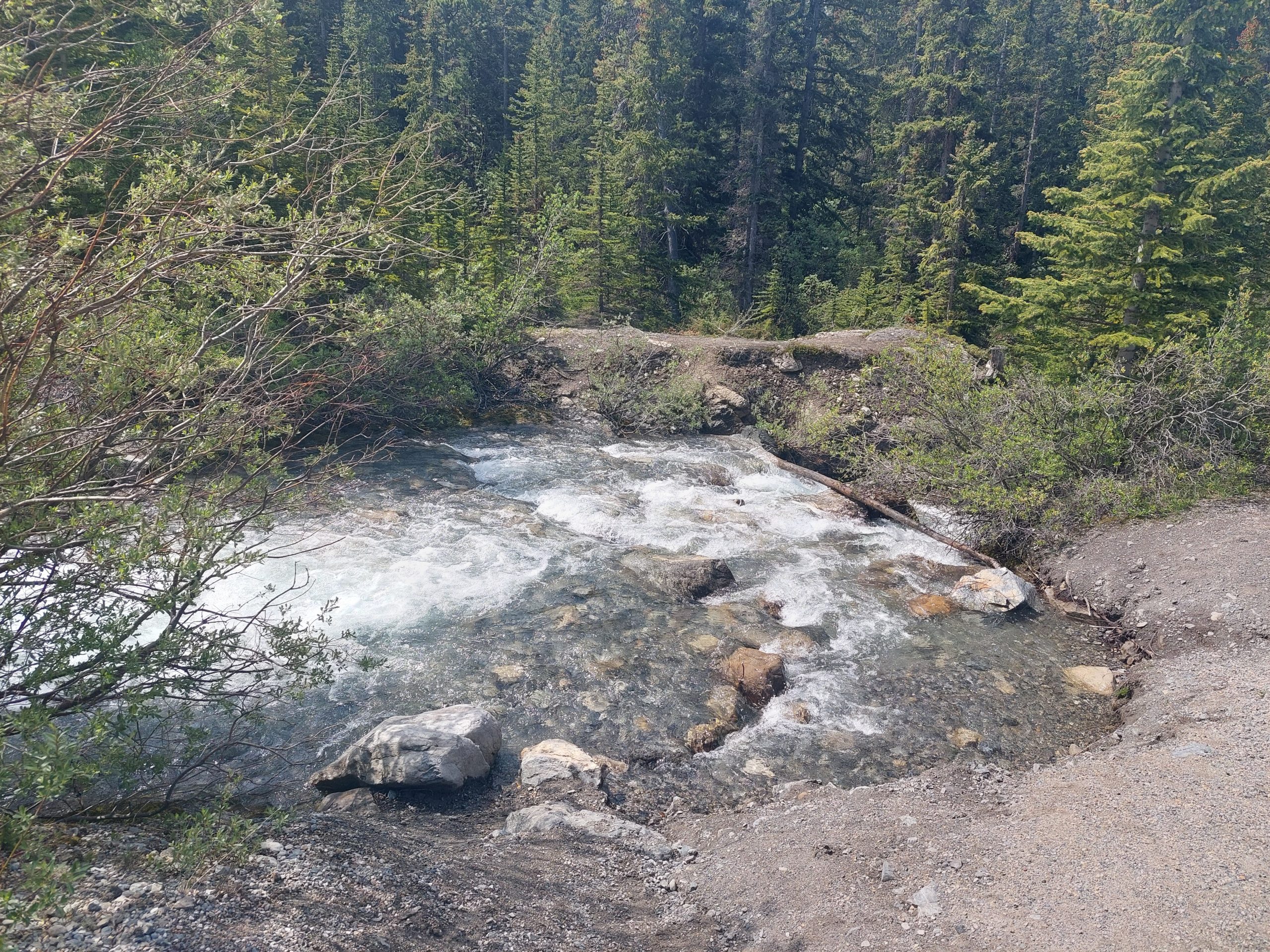
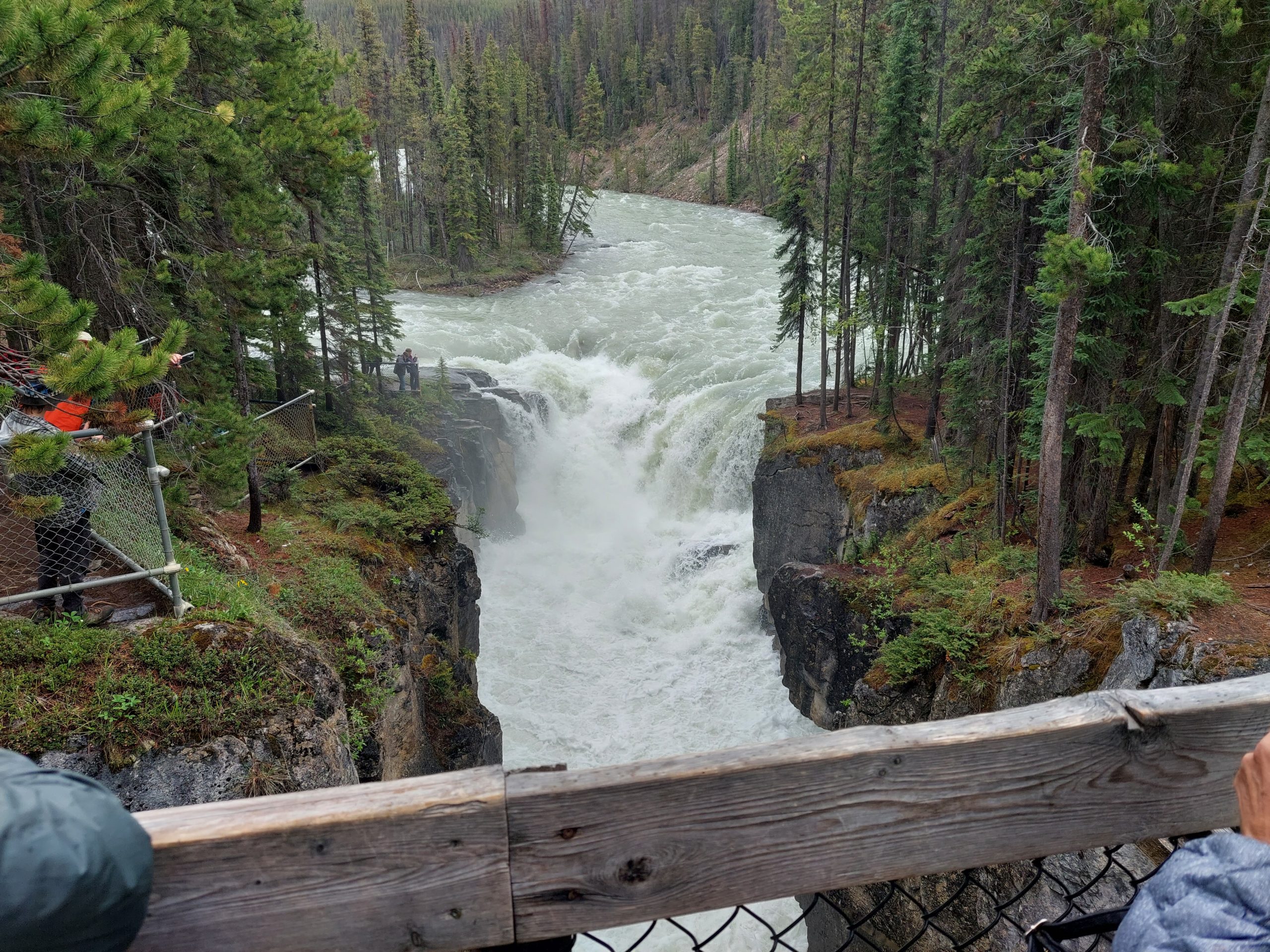
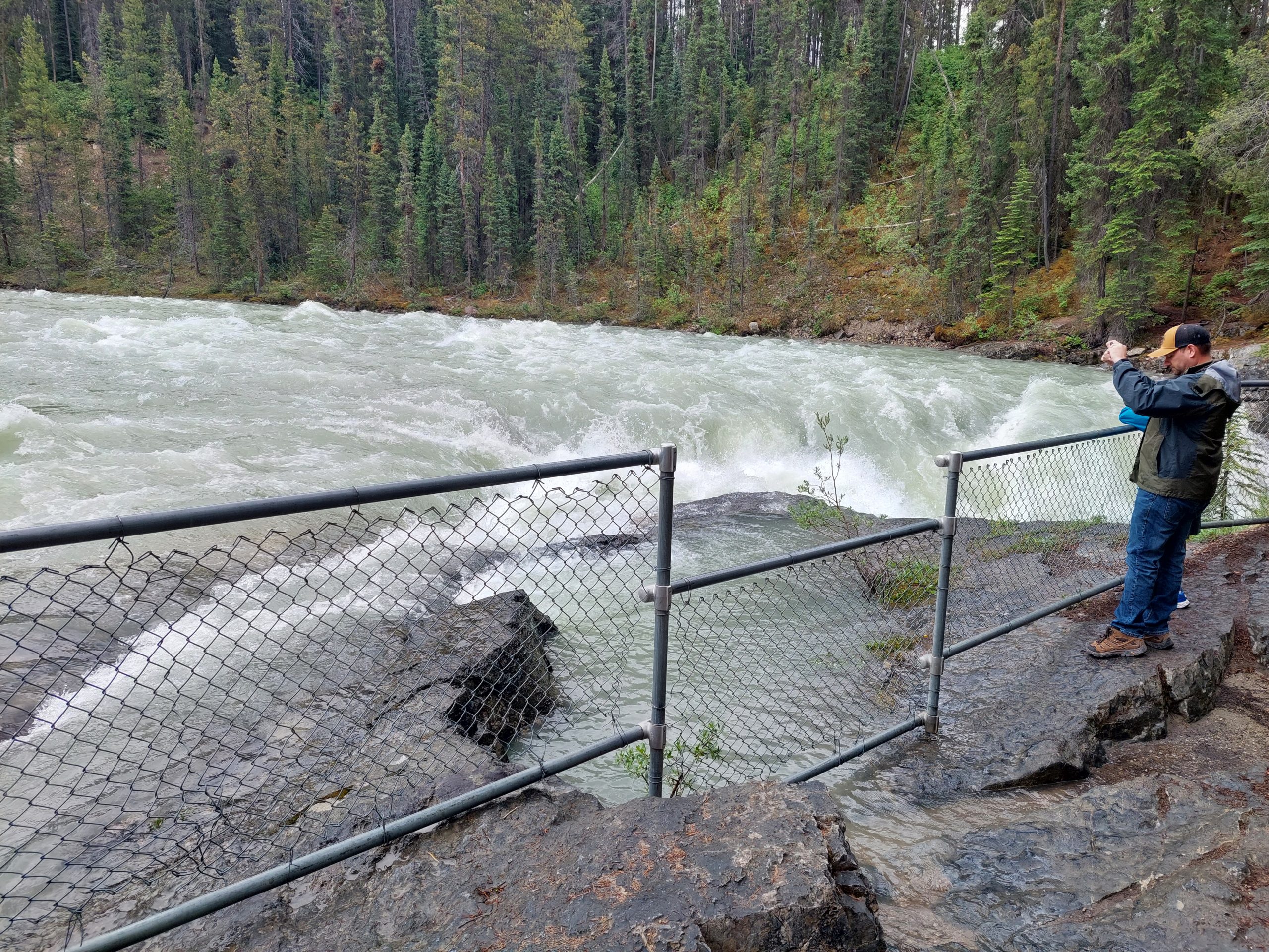
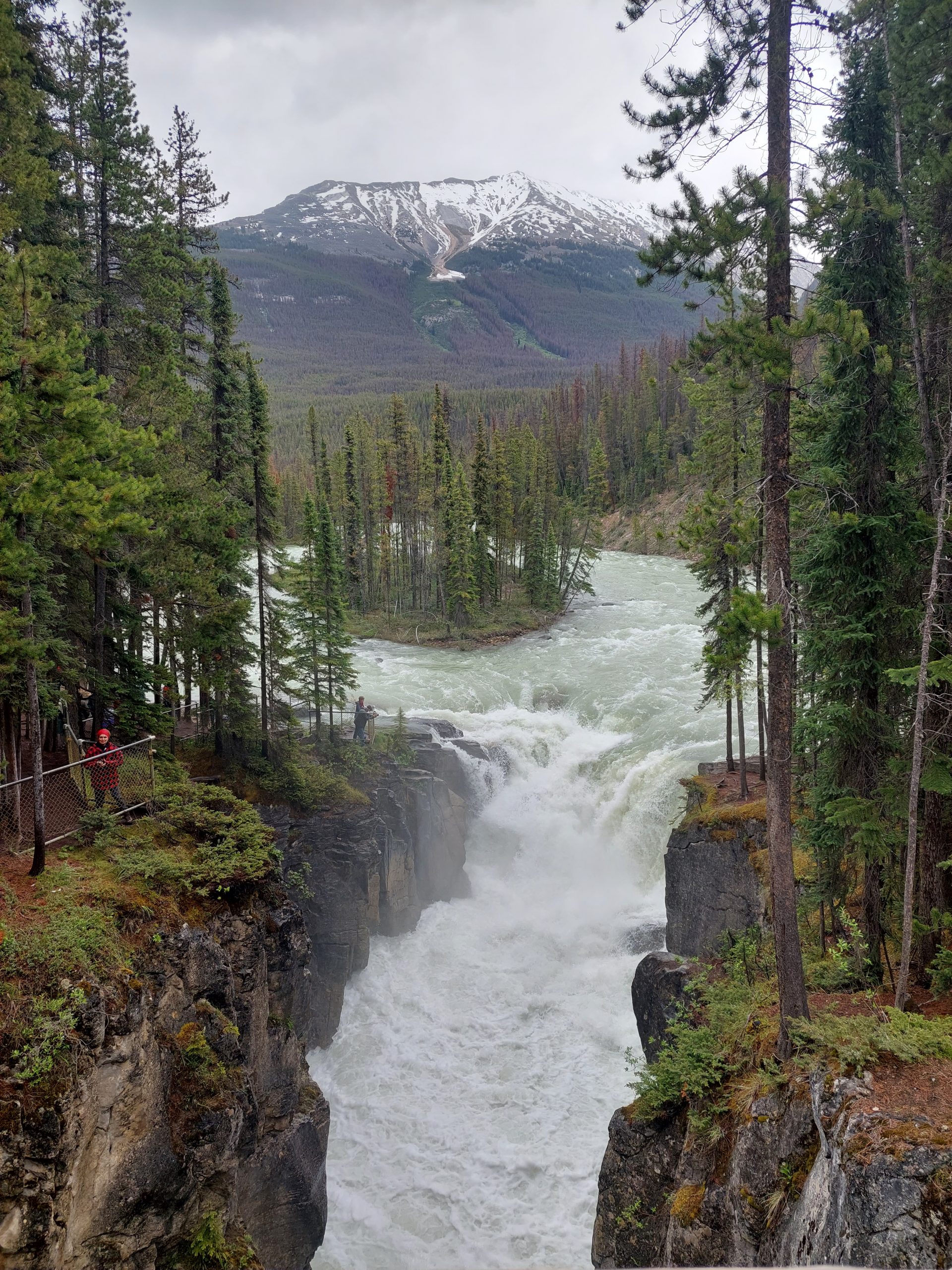
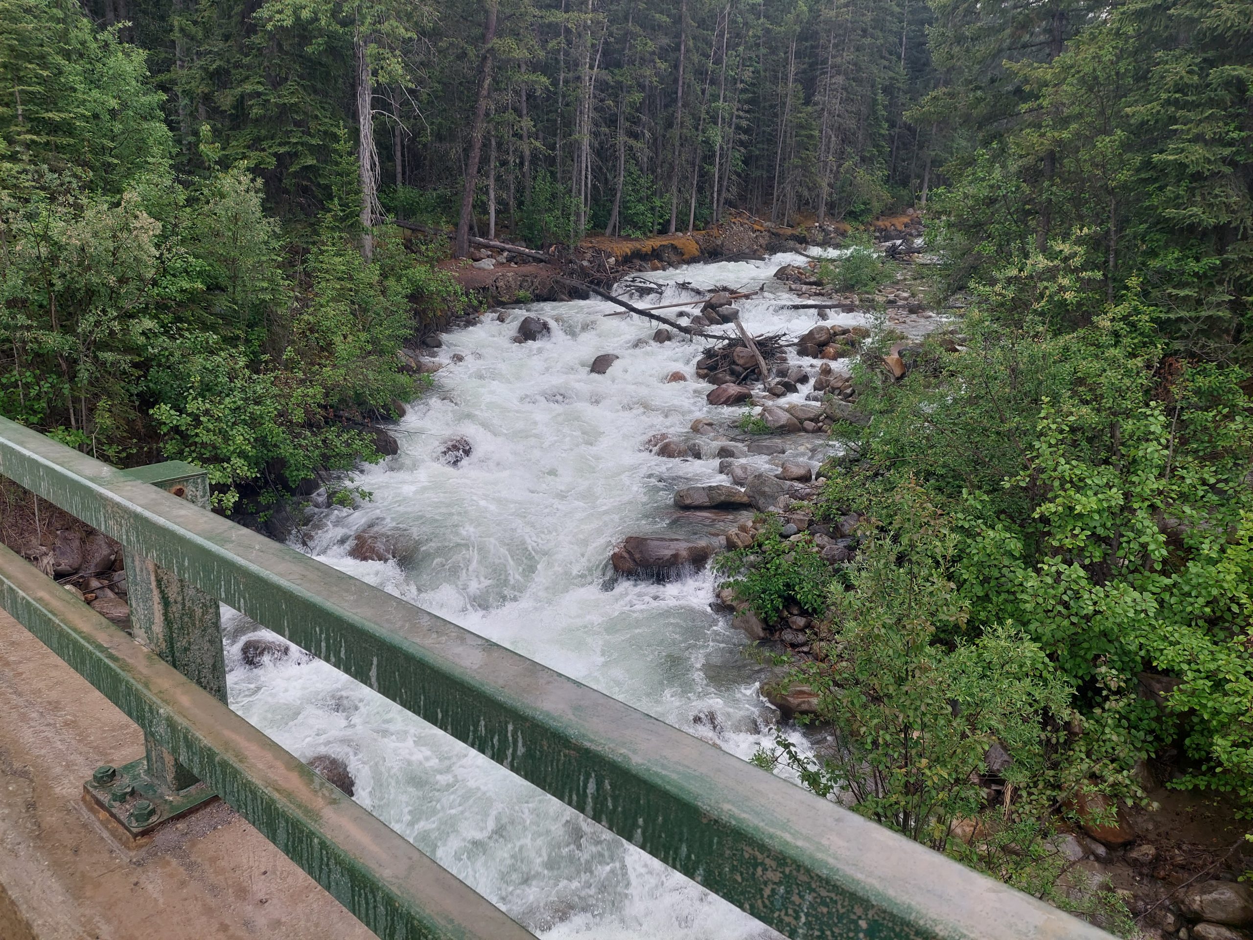
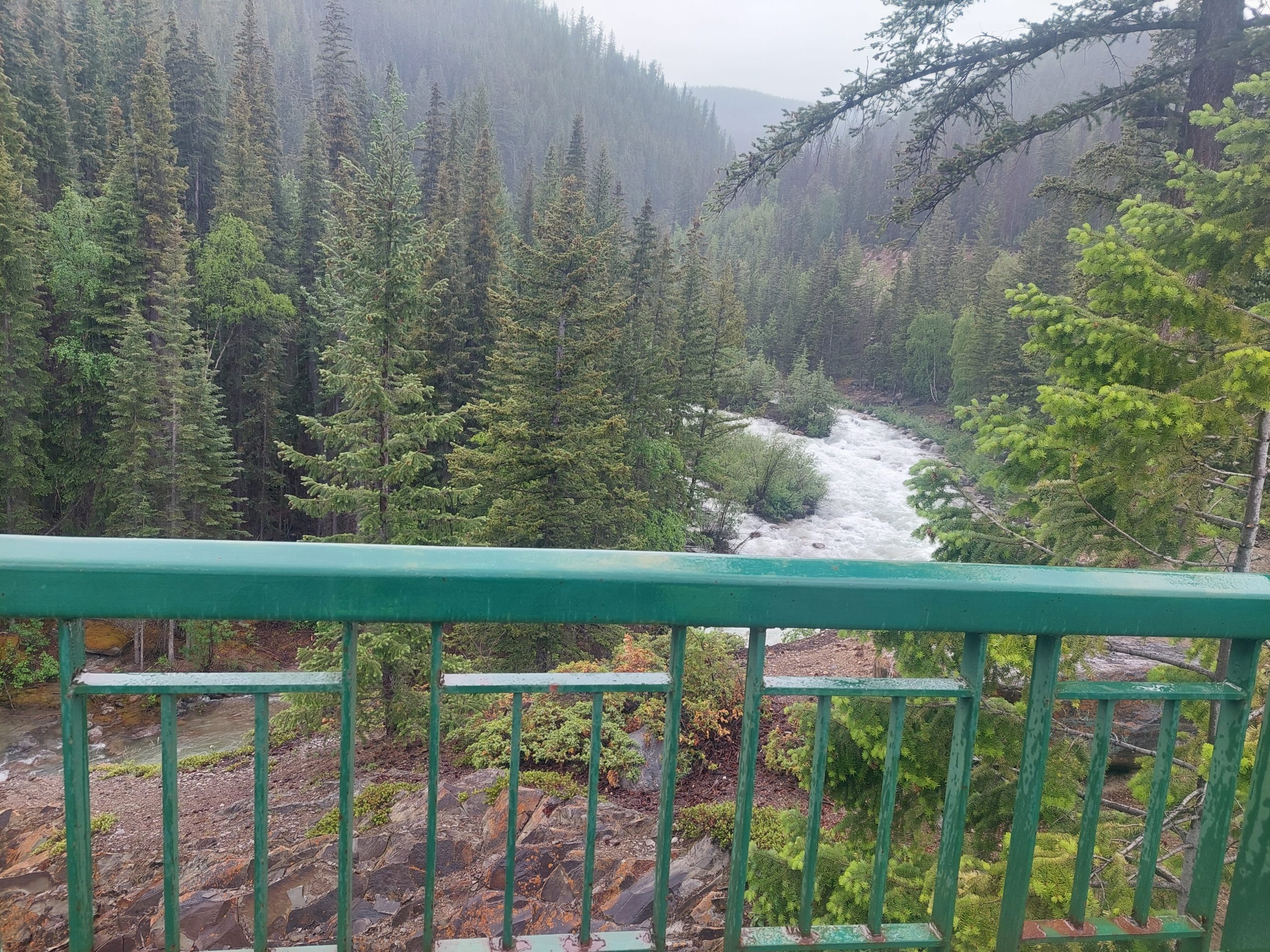
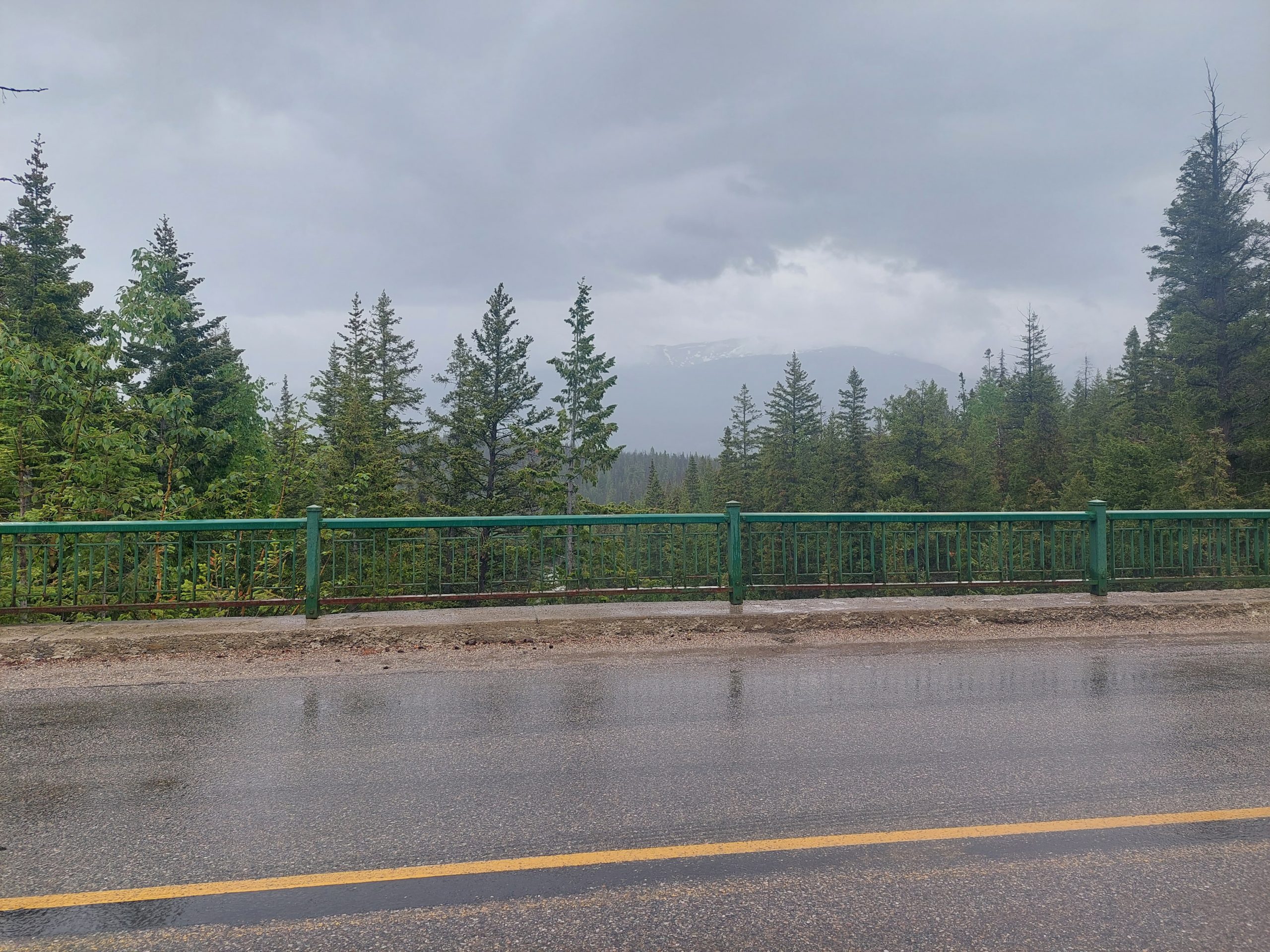
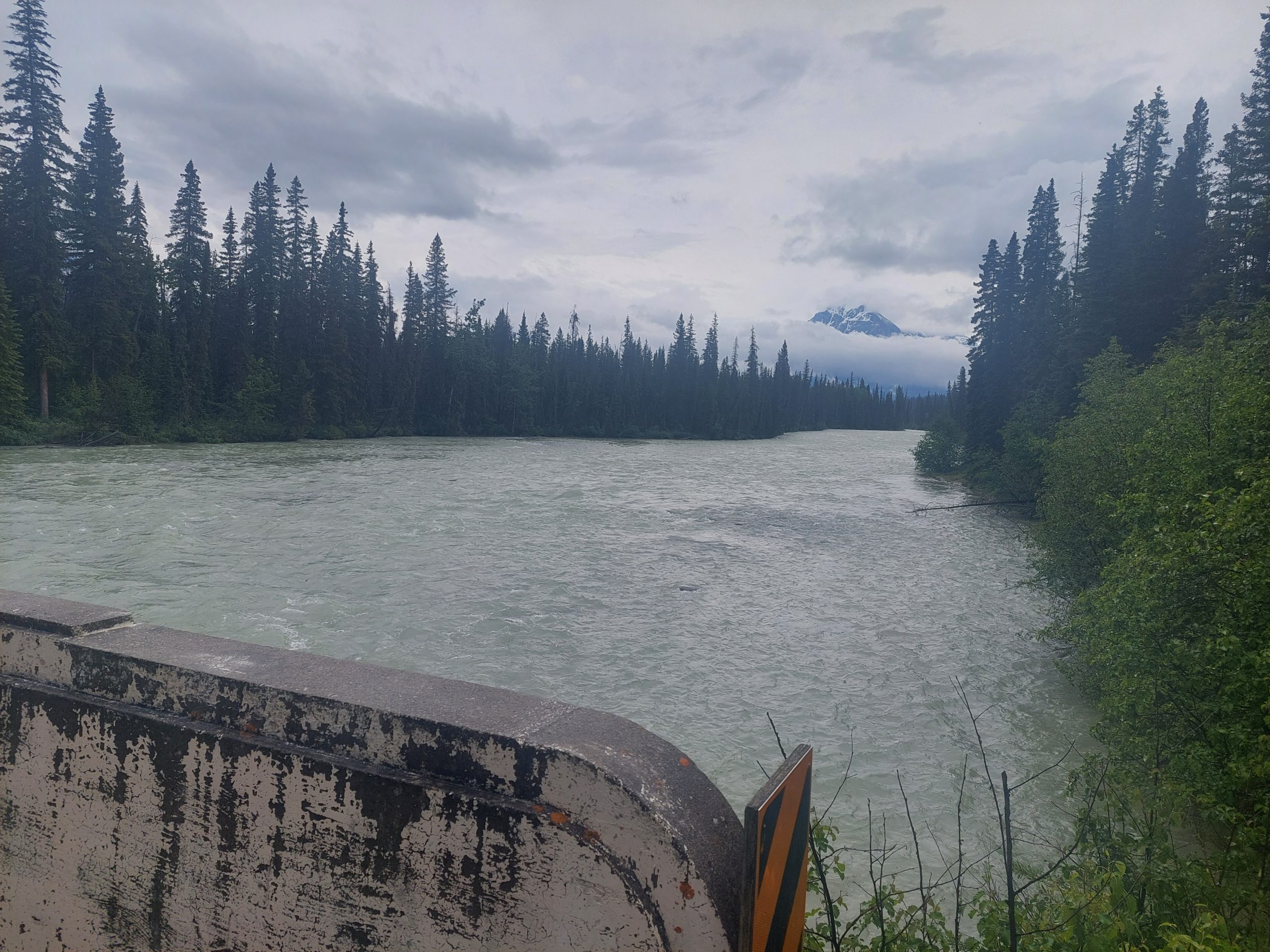
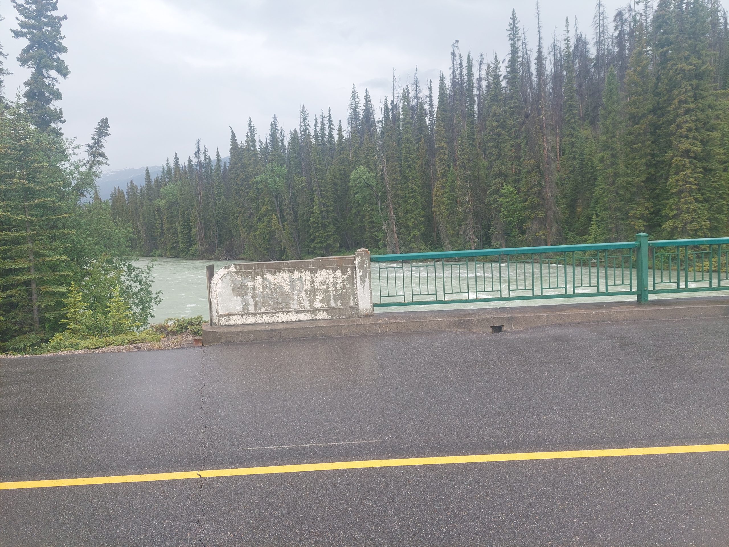
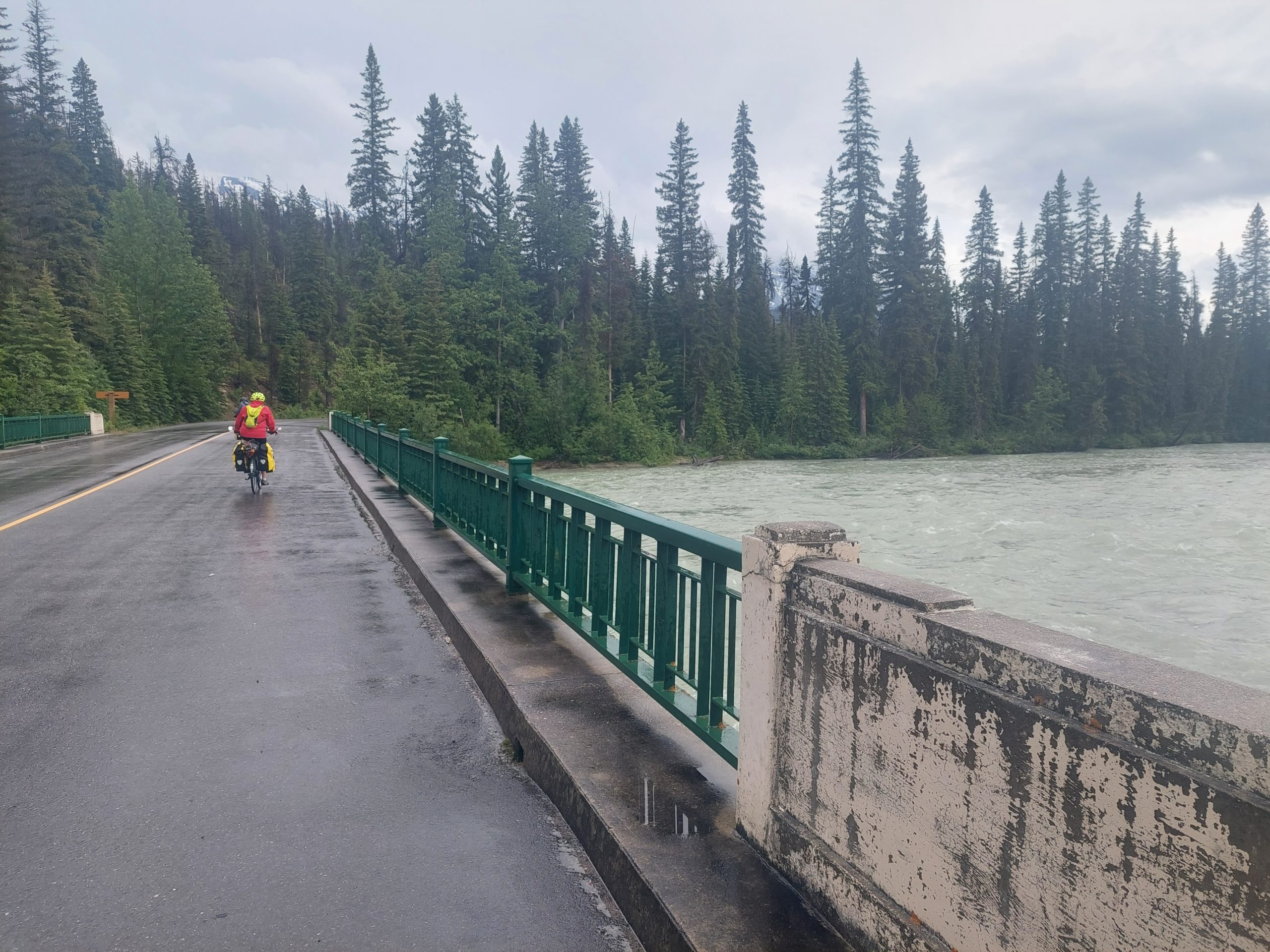
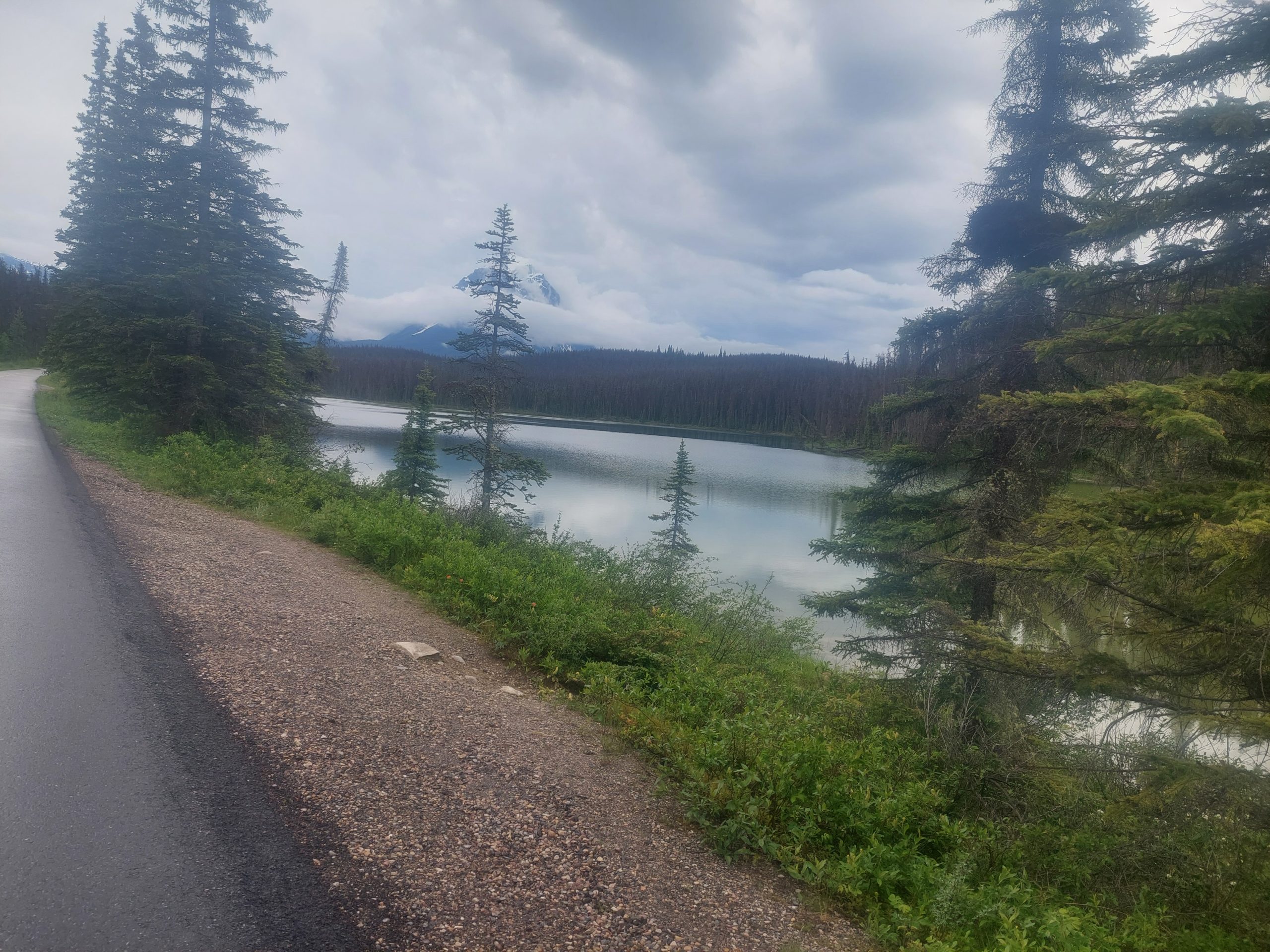
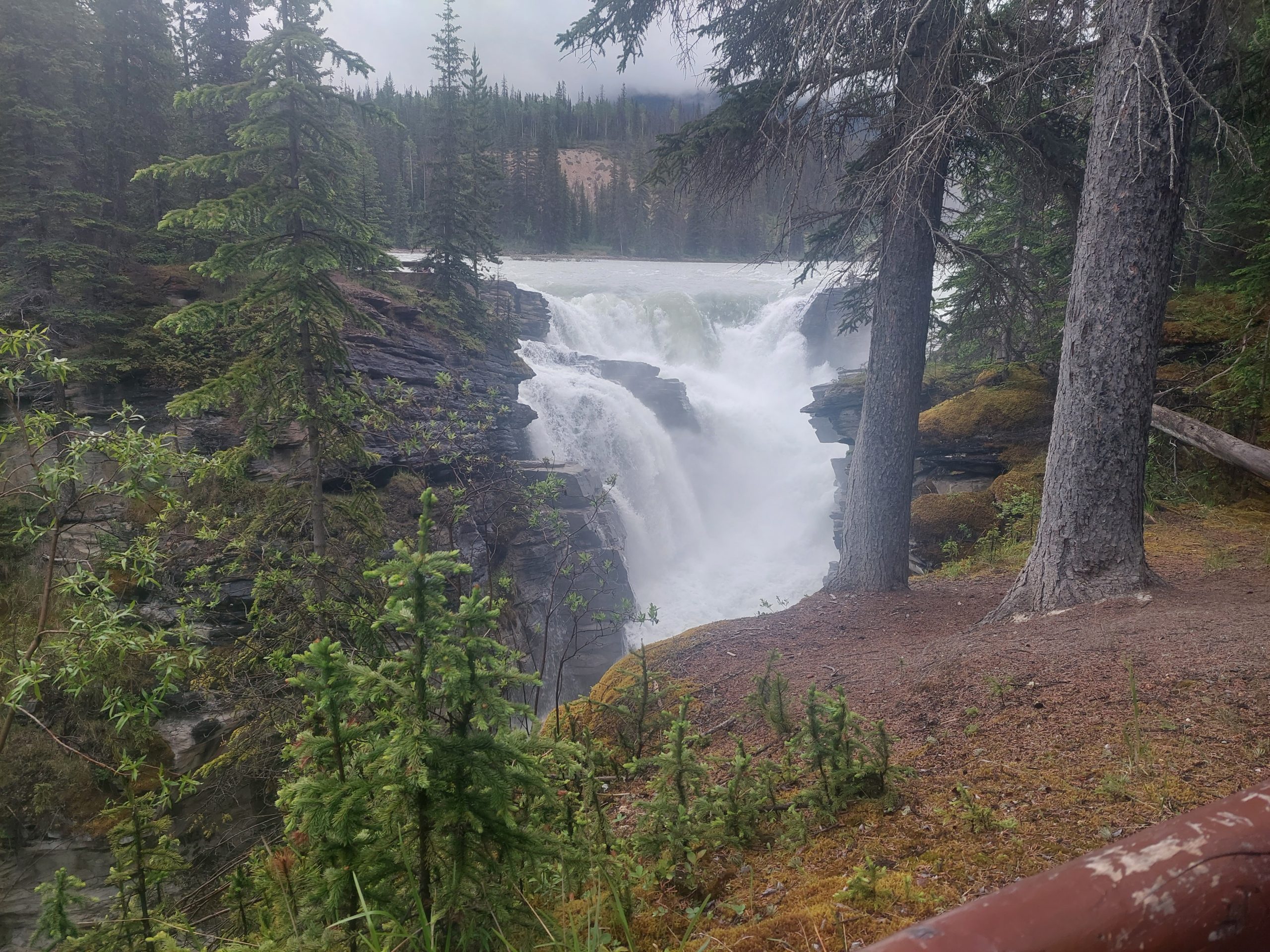
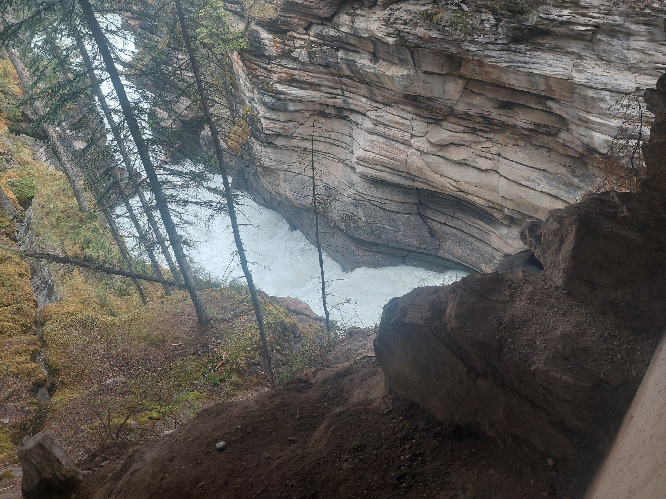
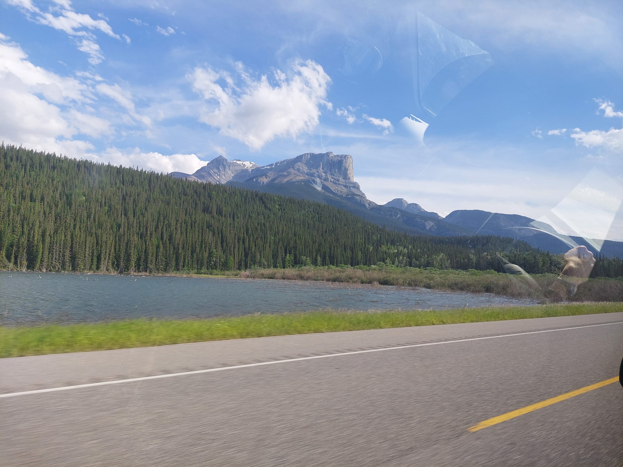
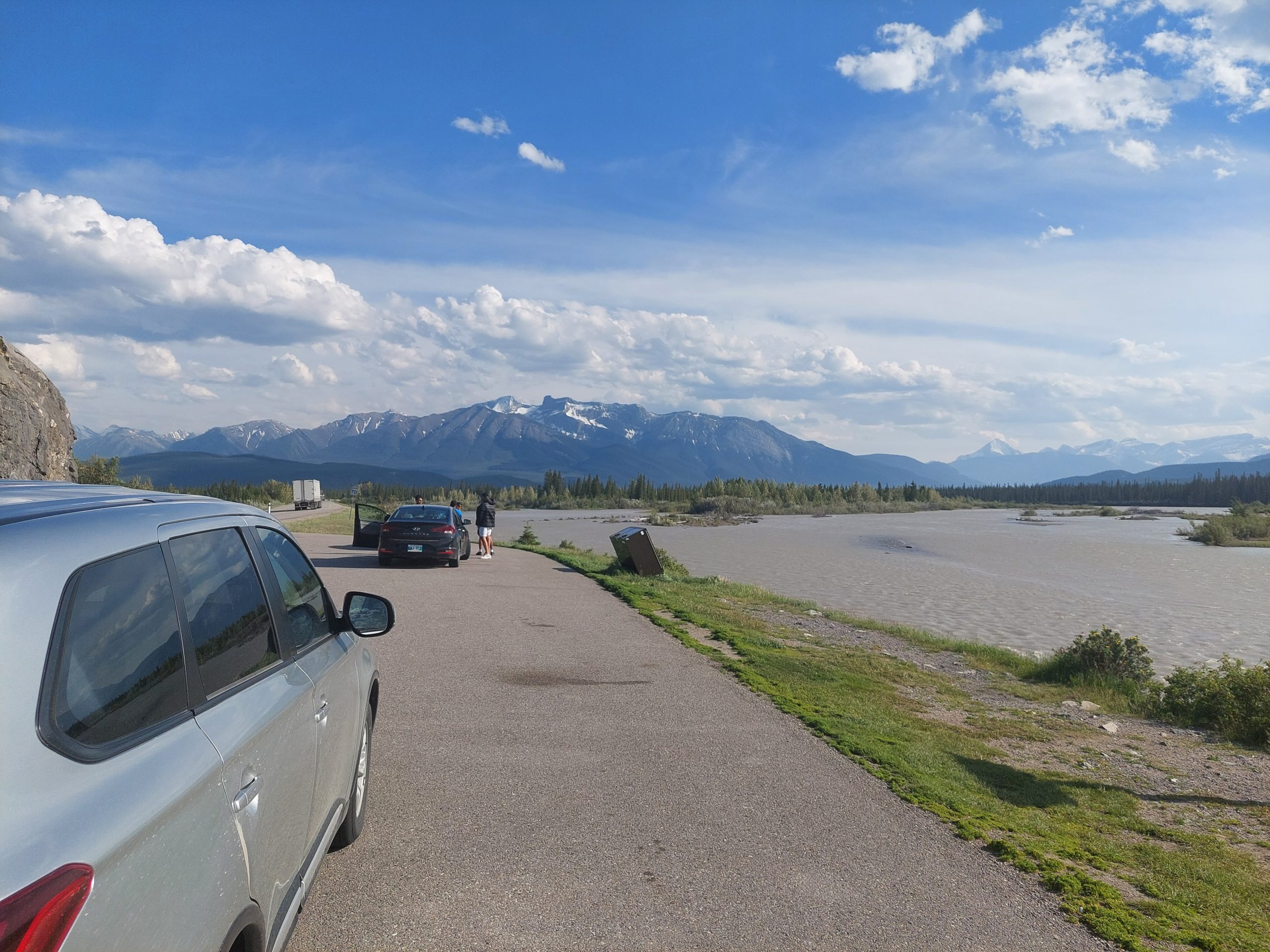
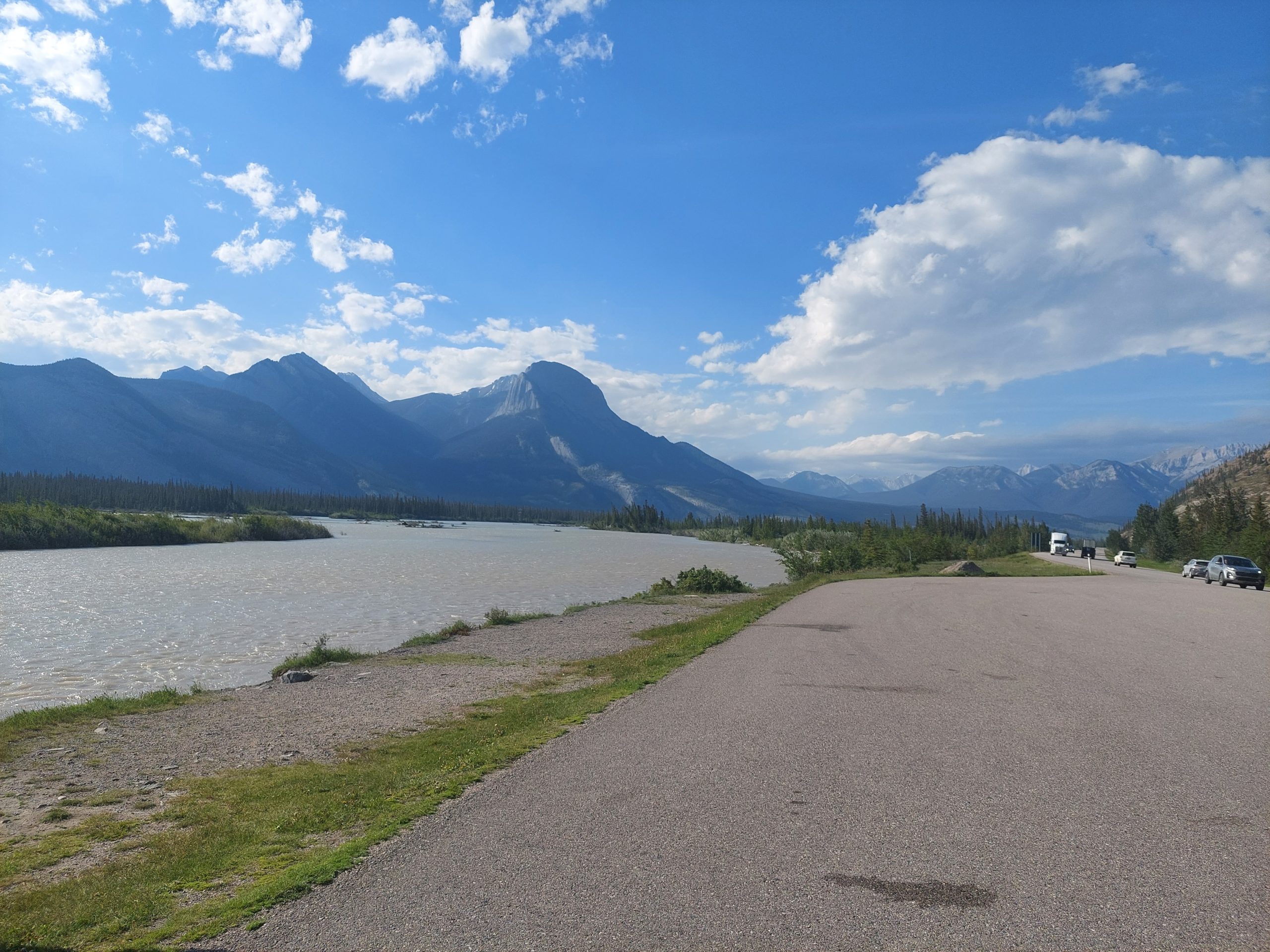
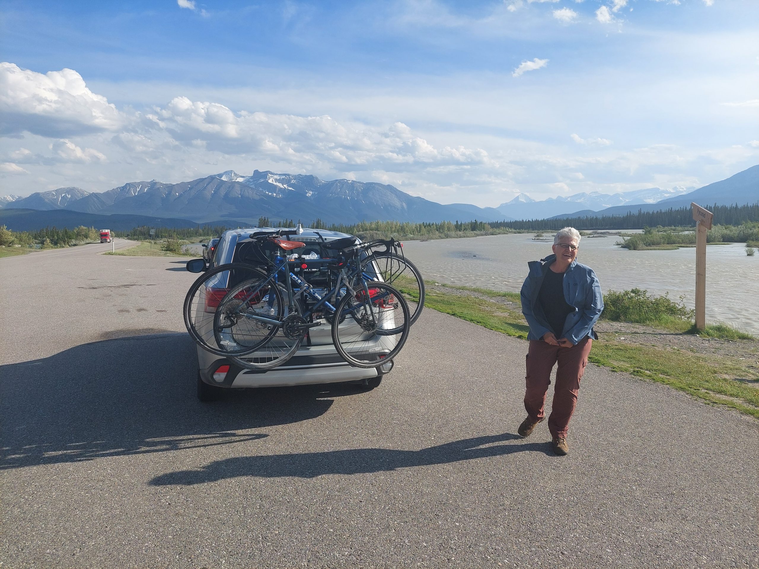
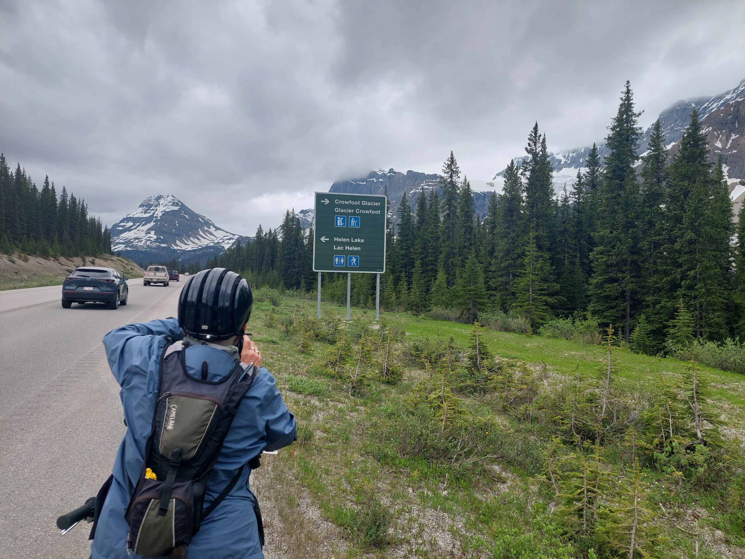
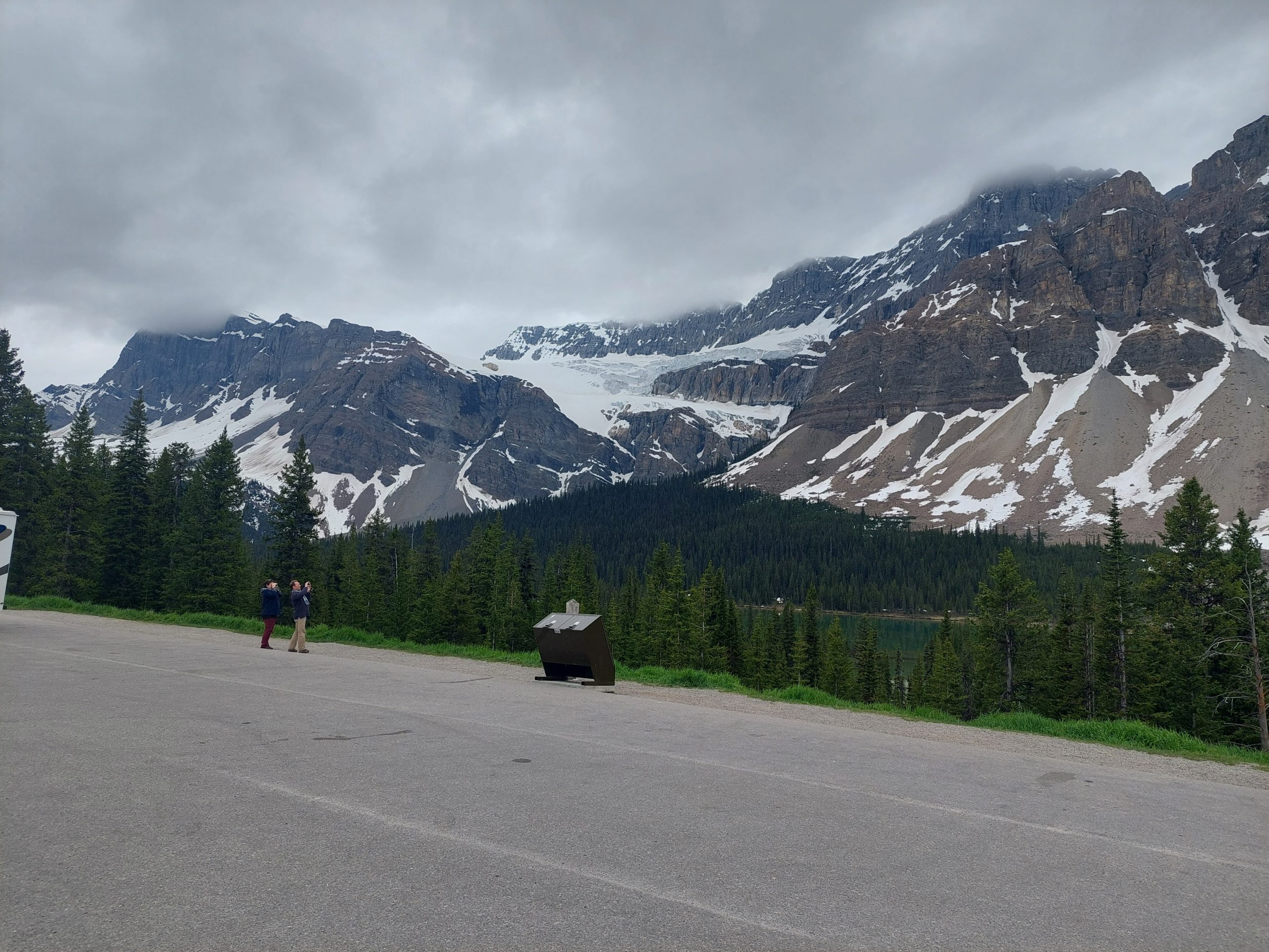
Our final stop for the day was just a little further down the hill. We got back on the road, stopping one last time to check out Crowfoot Glacier, which we’d heard about from our friends back at Waterfowl Lake.
And so on down the hill… Our plan was to stay at Mosquito Creek Campground, but the weather was starting to get nasty, and Julie was feeling the effects of our earlier elevation adventure, so we decided to try getting some bunks at the Mosquito Creek Hostel next door. We pulled in early, maybe an hour before they opened, and eventually found the manager. Remember that guy from the lodge? It was him, and he told us “actually we’re full, but come on in to the main room and stick around, and I’ll see what I can do.”
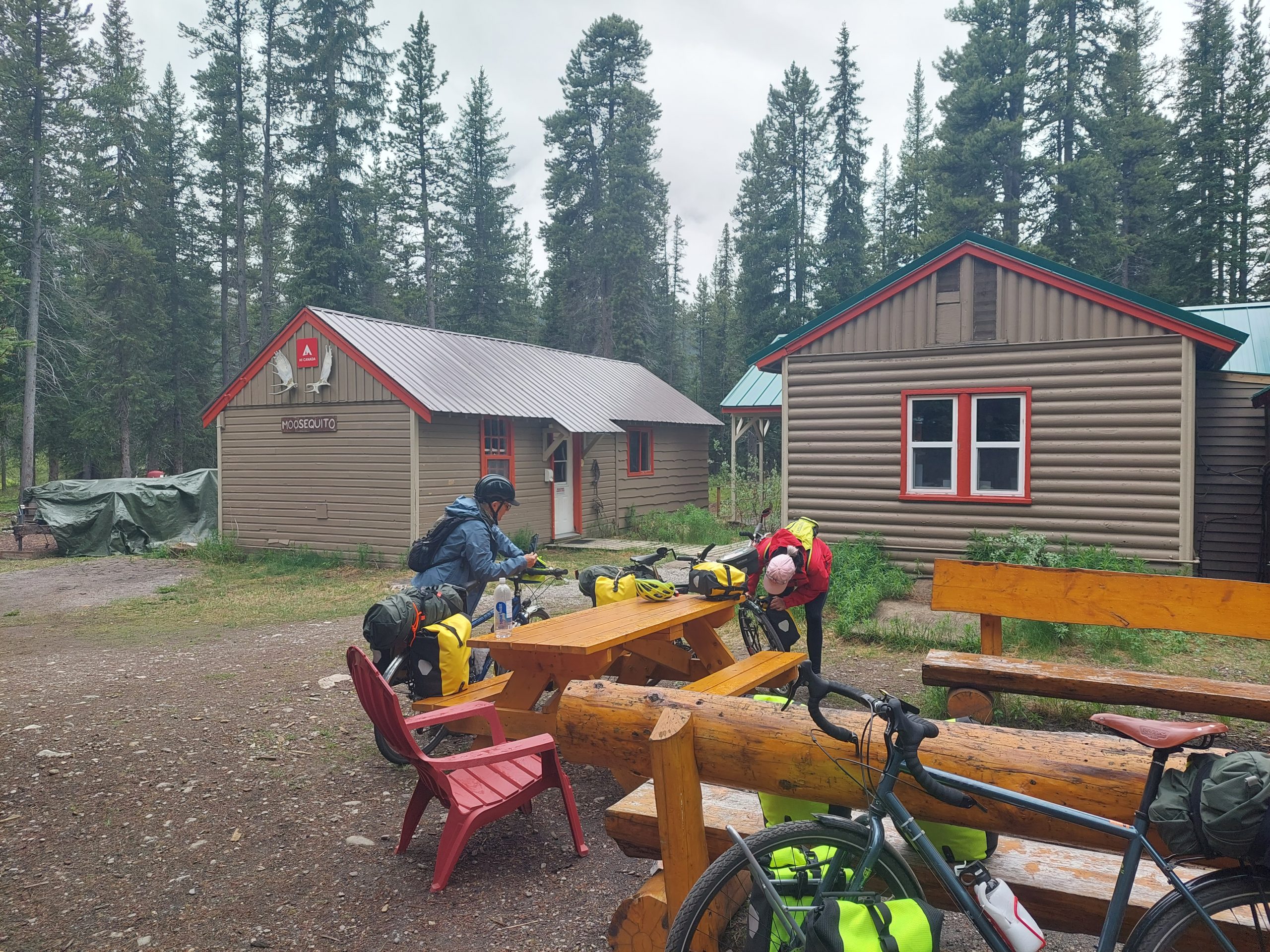
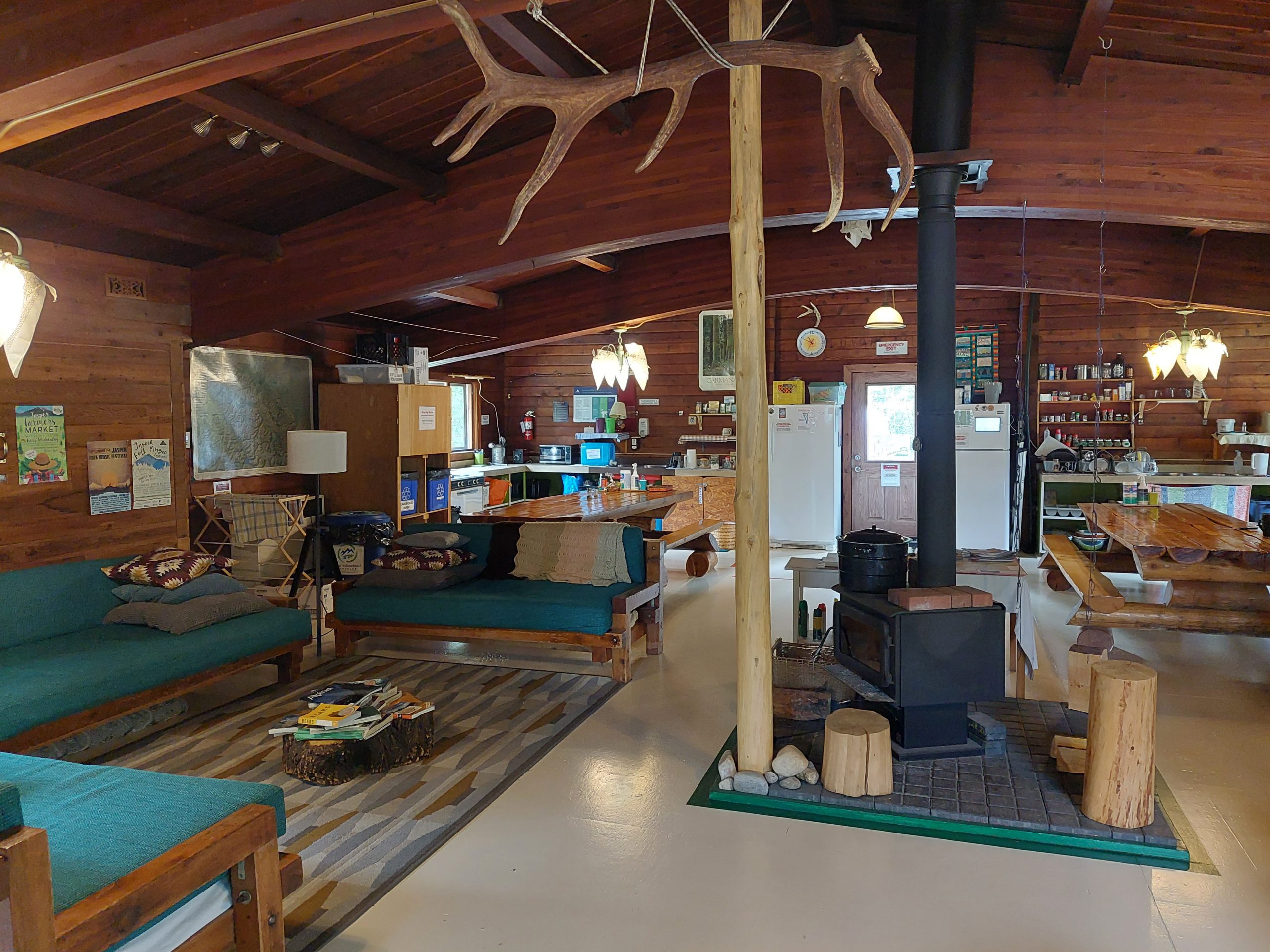
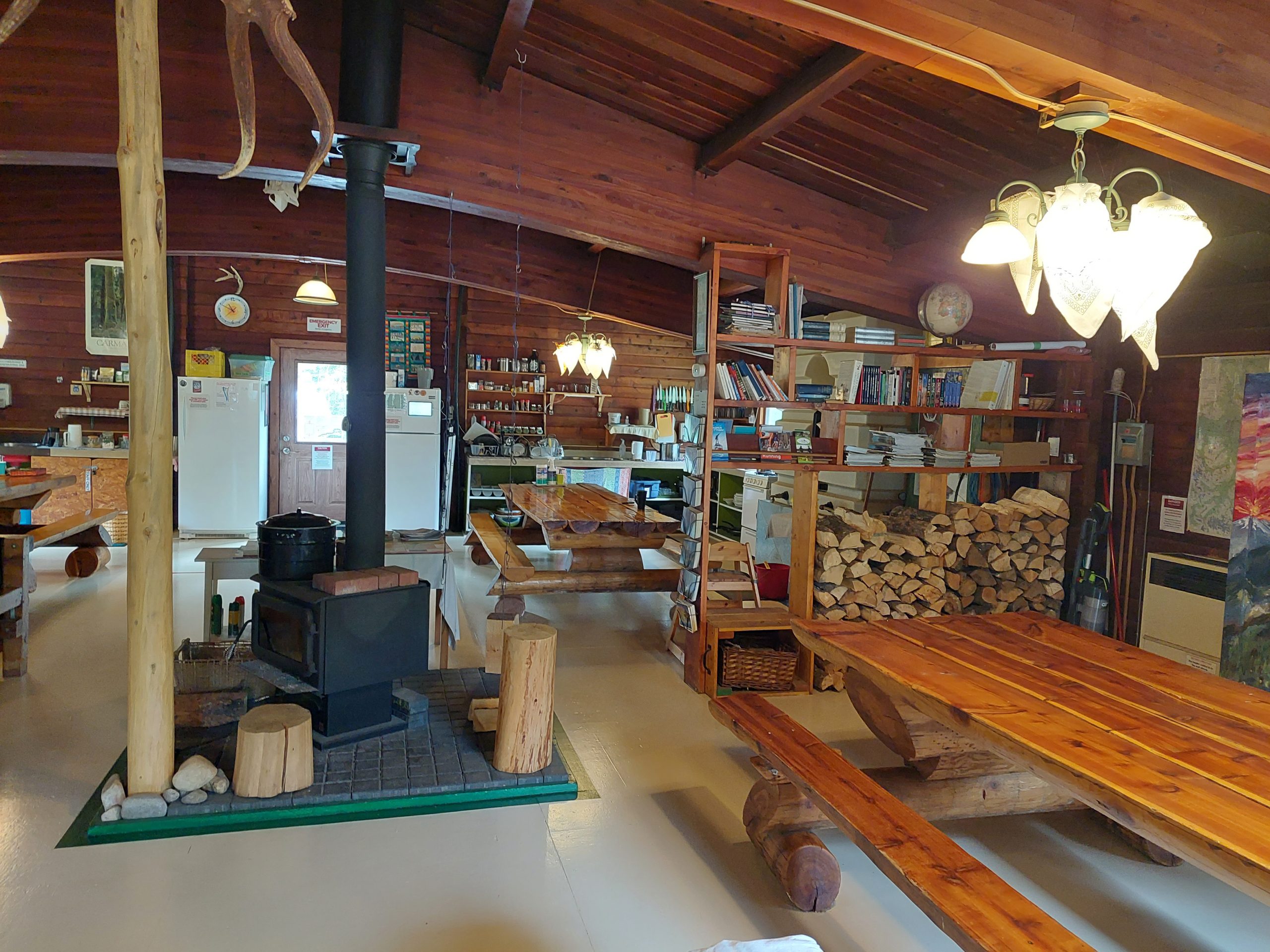
Well, it turns out that Tim the manager was an actual diplomat and environmental lawyer in a previous existence; he put forth some serious diplomacy, wheeling and dealing among the other guests, and eventually found space for us as well as some other unexpected late arrivals. Sweet!
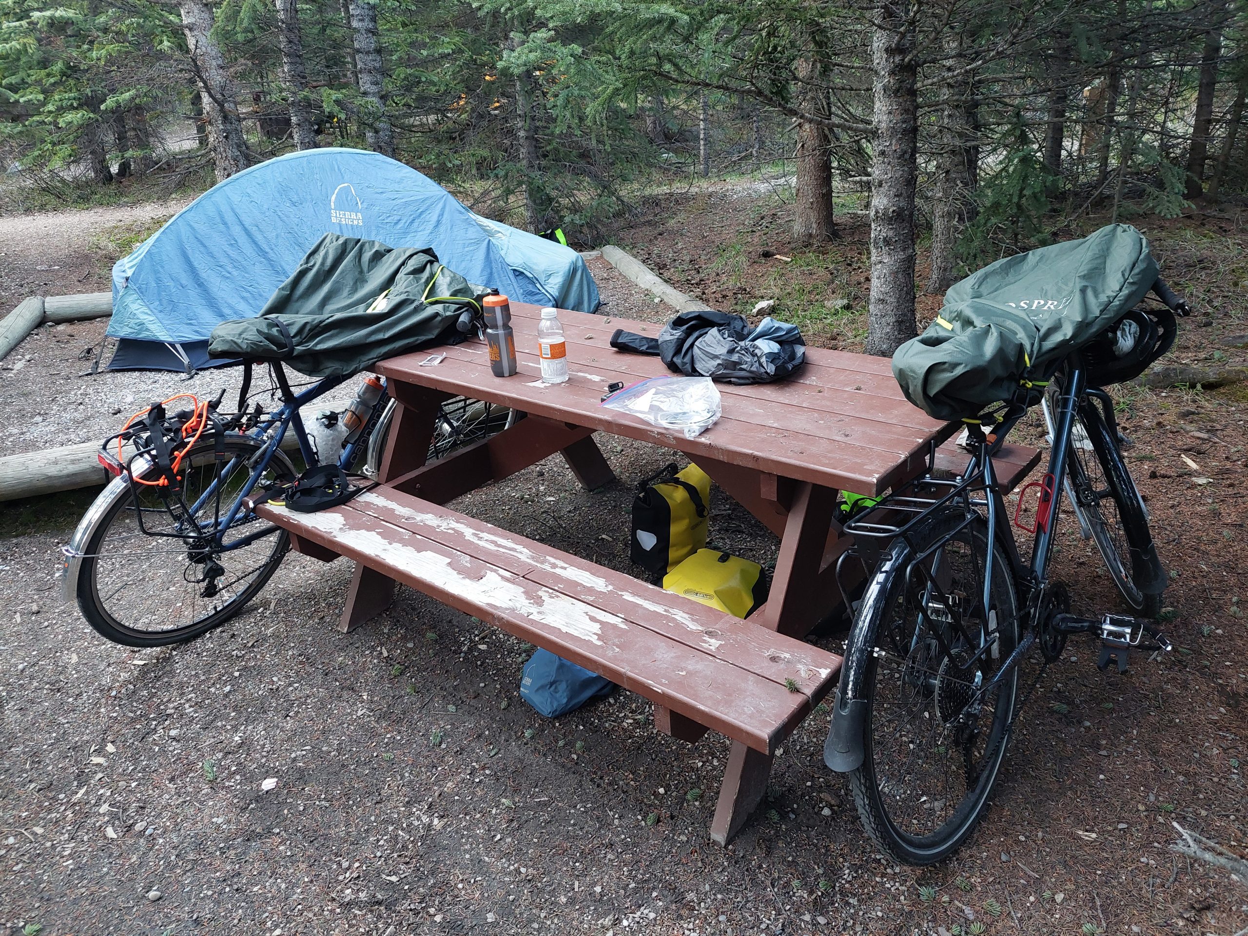
Mosquito Creek was pretty nice, and we hit it off with the other guests around the dinner tables, in the sauna — the sauna! — and in the big common room. Anne especially bonded with Tim over their history as lawyers, and commiserating with him over the nasty bureaucratic infighting that led to the end of his career. (He was a decent guy, and it sounded like he found himself swimming with sharks.) Anyway, he still had all his skills, and he used them to do us a solid.
Unfortunately, Mosquito Creek was where I felt the first tinges of what became an allergy-sinus-ear issue, which lasted the rest of the trip and became a full-blown ear infection after our return. I’d been exposed to the wood burning sauna and the wood stove (particulates), and we were now coming down out of the icefields and into the local early spring (clouds of tree pollen), and my allergy bucket must have overflowed.