• Infrastructure Week

    Busy week:

    • I’m writing this on my new laptop, which came Wednesday — I’ve been setting it up and transferring files ever since.
    • Last Sunday we looked at new ranges, and bought one Monday, which should arrive tomorrow.
    • Tuesday we bought a new storm door, which Mark D will be installing when he gets the chance.
    • I also looked into the stereo and got it working (or, at least, “working,” since one whole side just does not produce sound), but it probably could use replacing. That’s going to have to wait for more research.
    • Also up on deck: our switch to new cable, but that also has to hold for more research — if we go with our own modem and router, another purchase.

    But things are happening on the infrastructure front!

    Next up this afternoon is brewing.


  • Tech Updates

    I just thought I’d post an update on my new computer: it’s been assembled, it’s been shipped and it’s due to arrive here this Wednesday. I can’t wait!

    Meantime, I was looking into what was going wrong with my GeoPackages, and I found out that there are problems with (my now slightly outdated versions of) QGIS and Spatialite that prevent GeoPackage spatial queries from working. So it wasn’t me!


  • Columbus

    Anne and Lorraine went to Columbus for a knitter’s convention, and then (last Sunday, after the convention was over) Ray and I drove out to meet them so we could all spend a few days checking out the city. We were in the part of town called Short North, which was one of several quaint sections, all brick houses and cobblestones — we stayed in a converted loft in a former Wonder Bread factory, just on the edge of the neighborhood. The area was ideal for walkability, and for restaurants, and night clubs and coffee shops and bookstores…

    There’s not really much to say about what we did: we got breakfast, we walked around, seeing the sights and visiting bookstores etc, and in the evening we grabbed dinner and drinks. Nothing particularly notable, it was just a pleasant visit. Ray had gone to college in Columbus, and lived pretty close to our AirBnb for a number of years, and so we visited some of his old neighborhoods in our walks. In between all these things, we read the books we bought.

    We did visit two major attractions while we were there: the Botanical Gardens and the Art Museum. I only took pictures at the Botanical Gardens (and maybe I’ll post some soon), but both were really fun.


  • Project Drift

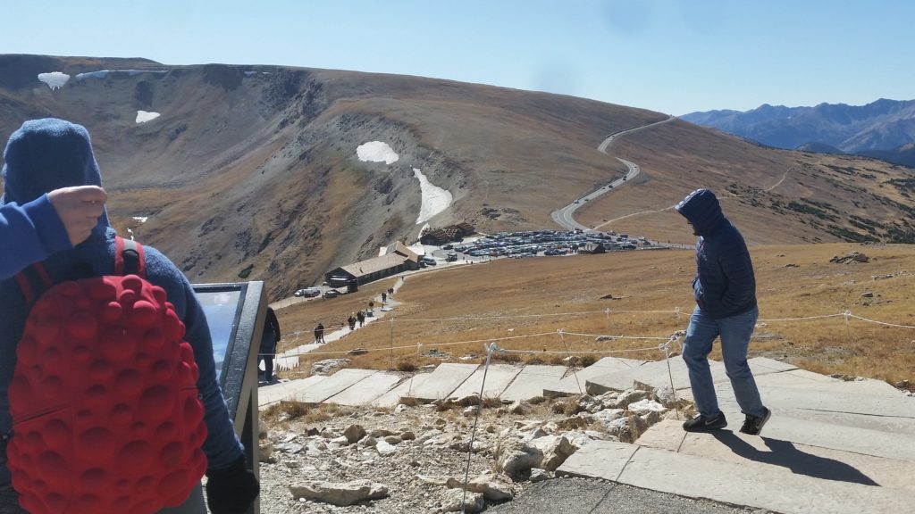
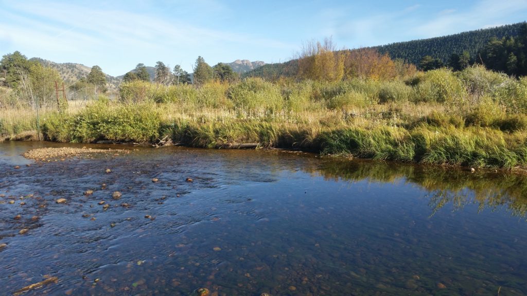
    I’ve done a few more Road Scholar gigs this year, and my co-guide and I both feel that the ride choices could be improved, mainly by doing more bike paths and rail-trails, and doing less actual road riding. This would avoid the biggest issues we face (traffic and hills), and maybe allow the rides to be a bit longer and more enjoyable.

    Meantime, I’d noticed a tendency, among our van drivers, to use Google Maps to navigate our pick-up, drop-off and other van access points. This is I think a good thing, but it’s led to map searches finding the wrong drop-off point — nearby features rather than the specific location we use. It works well enough that “OK, turn left here and pull into that parking lot” will get us there once we’re close enough, but navigating to an actual position (a given latitude and longitude, for instance) would work much better.

    Finally, I thought it would be good to have an official repository somewhere, of the rides: their official routes (I use GPS to navigate on the rides) as well as waypoints, like lunch spots, points of interest along the ride, and those pick-up and drop-off points. Ideally, I would be able to load a ride into my GPS and have all info for the ride at my fingertips.

    These all coalesced in my mind into the Great Big Ride Database GIS Project. The project would be made of three parts: storage of rides (official or otherwise) and waypoints into a ride database, transfer of rides/waypoints to and from my GPS, and analysis of the ride data.

    First Steps, and Revolting Developments

    I started by keeping “official versions” of our rides on RideWithGPS, and I would download them as GPX files onto my Garmin when I needed them. This would only take care of the route itself, however; I thought that there was also a need to maintain a list of waypoints associated with each route, so I decided to build some kind of database to hold routes and their waypoints.

    Since I would like to be able to just hand over the ride information in some file format, my first attempt was to build the database as a GeoPackage file. This actually worked pretty well, when my plan was just to stuff the data into storage. But then, my plans started to morph: I needed to actually analyze the data (with a spatial query) to generate info I needed. The GeoPackage file should have been able to handle this, but I think I must have done something wrong back when I installed the underlying GeoPackage/SpatiaLite libraries, or I was doing something wrong now, but I just couldn’t get any spatial functions to work. After frustrating myself for a while I just moved the database over to PostGIS. My project was changing, but at least it worked.

    So at this point, I started looking at the problem of getting the point data to places where I could use it — like onto and off of my Garmin. I collected a bunch of the waypoints as “saved locations” on my GPS, but then I couldn’t find any good way to export or upload them. (The Google tells me that Garmin apparently has some Windows programs that can manage waypoints, but that does me no good.)

    I eventually dropped back and punted by writing a Python script. I scrounged around inside my Garmin and found a file called Locations.fit that seemed to be where the saved locations were stored, and used that fitparse library to rummage inside the FIT file, eventually figuring out the (undocumented) structure used to store waypoints. I could now export the waypoints into a QGIS layer, then I managed to realize that I could import the waypoints to my GPS via a GPX file in the same way I could import rides via GPX, and could even combine waypoints with the ride trackpoints in the same file for importing. Major breakthrough! — though the Garmin seemingly ignores all waypoint information (symbology, comment) except the name.

    So things are now a bit different than how I first planned it, but I have a system that works. Next up: evaluating potential routes.


  • New Purchase

    The laptop is starting to really show ominous signs of impending demise — screen frequently goes static-ey or blank on startup, wi-fi and bluetooth unexpectedly crap out, and it no longer can wake up from sleep mode — things that started happening a few months ago but are now getting to be almost constant, or at least daily, occurrences.

    I’ve had my laptop (a Dell XPS M1530) for 10 years now; it was cutting edge when I bought, it but a decade of advancement has left it so far behind that some software can’t even be updated anymore. But I love this computer even so, and if it weren’t on the verge of crapping out I wouldn’t even think of replacement. It’s lasted probably twice as long as it should though, and owes me nothing at this point, as long as it lasts until the new one shows up…

    So anyway, I went online yesterday and bought my new one, a System76 Darter Pro. I wanted another 15.6″ screen, I think that’s the sweet spot for laptops, and I also wanted Linux pre-installed. I was also looking for reasonable battery life, light weight etc, and I also wanted something with a bit of pep, even by current standards. I think I compromised a bit by getting an i5 rather than an i7 chip, but I turned around and upgraded to 16G of RAM and a 500G NVMe solid-state drive, improvements at the likely performance bottlenecks, so I think I’ll get a good bang for my buck. It should arrive in just under two weeks.


  • Travelin’ Man

    Aye, and I’ve headed West (twice! — we just got back from Columbus, which was lovely) over the past month or so, as well as north once or twice on the D&L, and today we’re heading south to Philly for a brunch visit with Ben & Candace, and also maybe Russ & Mimi.

    I have things to say about Columbus, along with some pictures, and we bought a bunch of books there so I have some readings to talk about, and I’ve also been playing with a new GIS project, and there’s more to say there too, but we’re out the door in about 5 minutes.

    So… back with more posts, soon.


  • Back From Another Adventure

    We did a leaf-peeper trip “up country” over the weekend, biking the towpath to Jim Thorpe with Ed & Jan, Scott S, and Julie. We all camped at the lake on Friday night, met up Shari W and Sarah A for a ride to Buttermilk Falls on Saturday, then rode home (in the rain — ugh!) on Sunday. We spent yesterday cleaning and drying our stuff…


  • Greetings From Bethlehem!

    Well, we’re back — we got home Sunday evening, then went out for dinner and drinks with John & Dona, and also Kellyn & Eric. Yesterday was unpacking and some running around, and today we did a huge grocery mission.

    What now? I’m now playing catch-up with the cello, and with maintenance on the Iguana — as soon as I got the headset replaced, the crank developed a wobble because the bottom bracket bearings have gone south. I can’t get them out either, so it’s back in the shop. Hopefully it’ll be ready for our ride this weekend.

    Meantime, I got into putting together a list of rides, and associated points of interest, for the Road Scholar program. (More on this as time goes by.)


  • Photos: The Flatirons

    We stopped in Boulder on the way home from Estes Park, to visit the National Center for Atmospheric Research Mesa Laboratory. This is a lab and museum partway up a mountain outside of town, designed by I.M. Pei, and with a bunch of hiking trails out back that continue up into the Flatiron Mountains. We hiked about, then visited the museum before continuing home. Here are some pictures from our hike:


  • Photos: In The Rockies #2

    This was our second hike/exploring day in Rocky Mountain National park. We decided to start the day with a big breakfast, so Anne and I went into town to get donuts, but we were delayed on the way by some elk in the road. So here are some obligatory elk photos, taken abut 50 yards from our cabin:

    Our main event of the day was to go up to the Alpine Discovery Center, which was a long, uphill drive, through several layers of ecosystems. Some photos from a lookout along the drive:

    Finally we were in the alpine tundra, and then at the discovery center where we walked to the very top of the hill. Some hot chocolate at the center, then we hit the road again, stopping at another overlook for more tundra. Tundra photos:

    We stopped at another overlook, further down the hill:

    Our final destination was a place called Moraine Park, which was a wide valley where the elk could be found. There was also a creek — the Big Thompson River? — and some vegetation restoration areas, which were fenced off from the elk but accessible by gate. These were the last photos of the day: