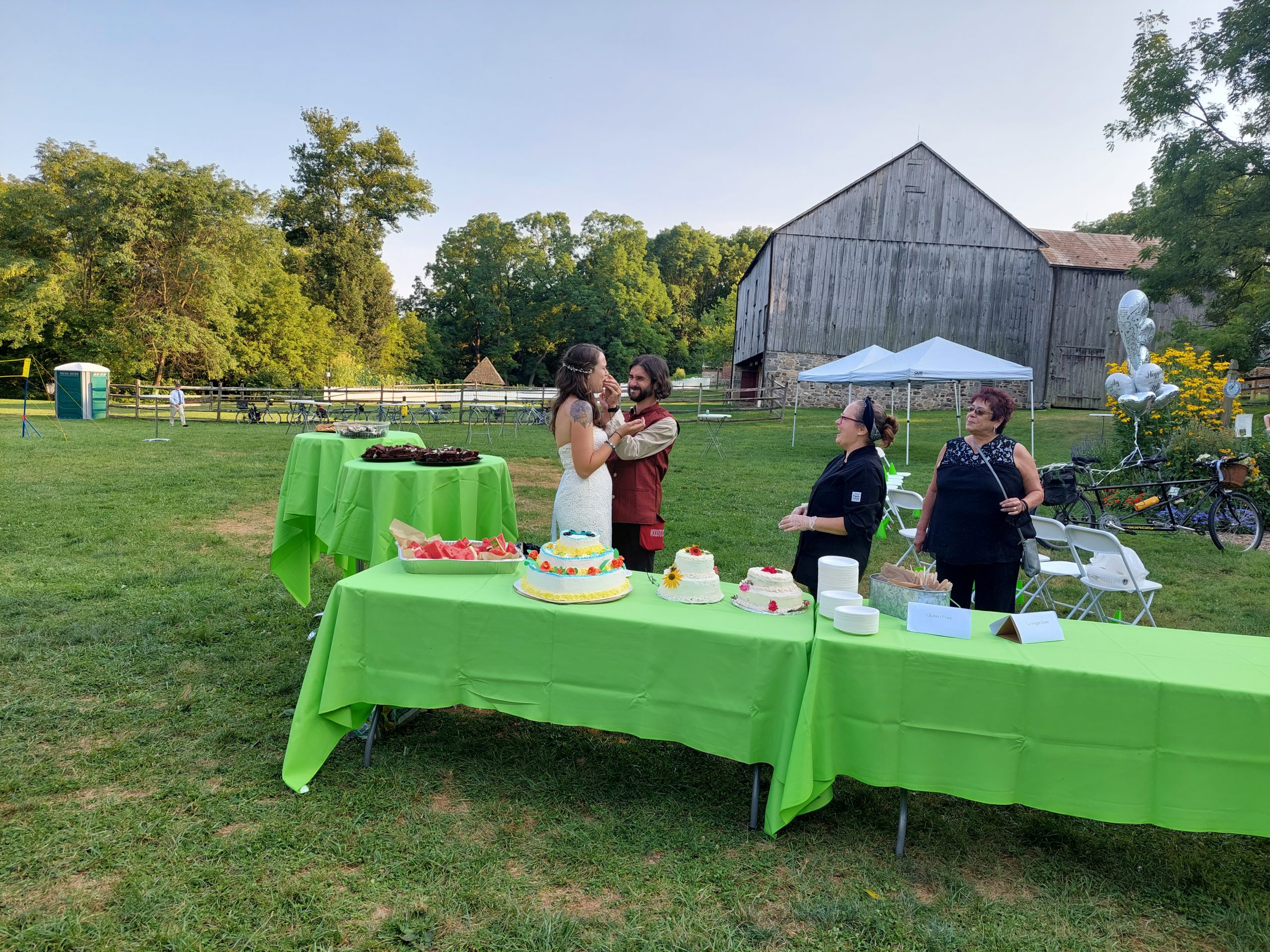
Some recent rides:
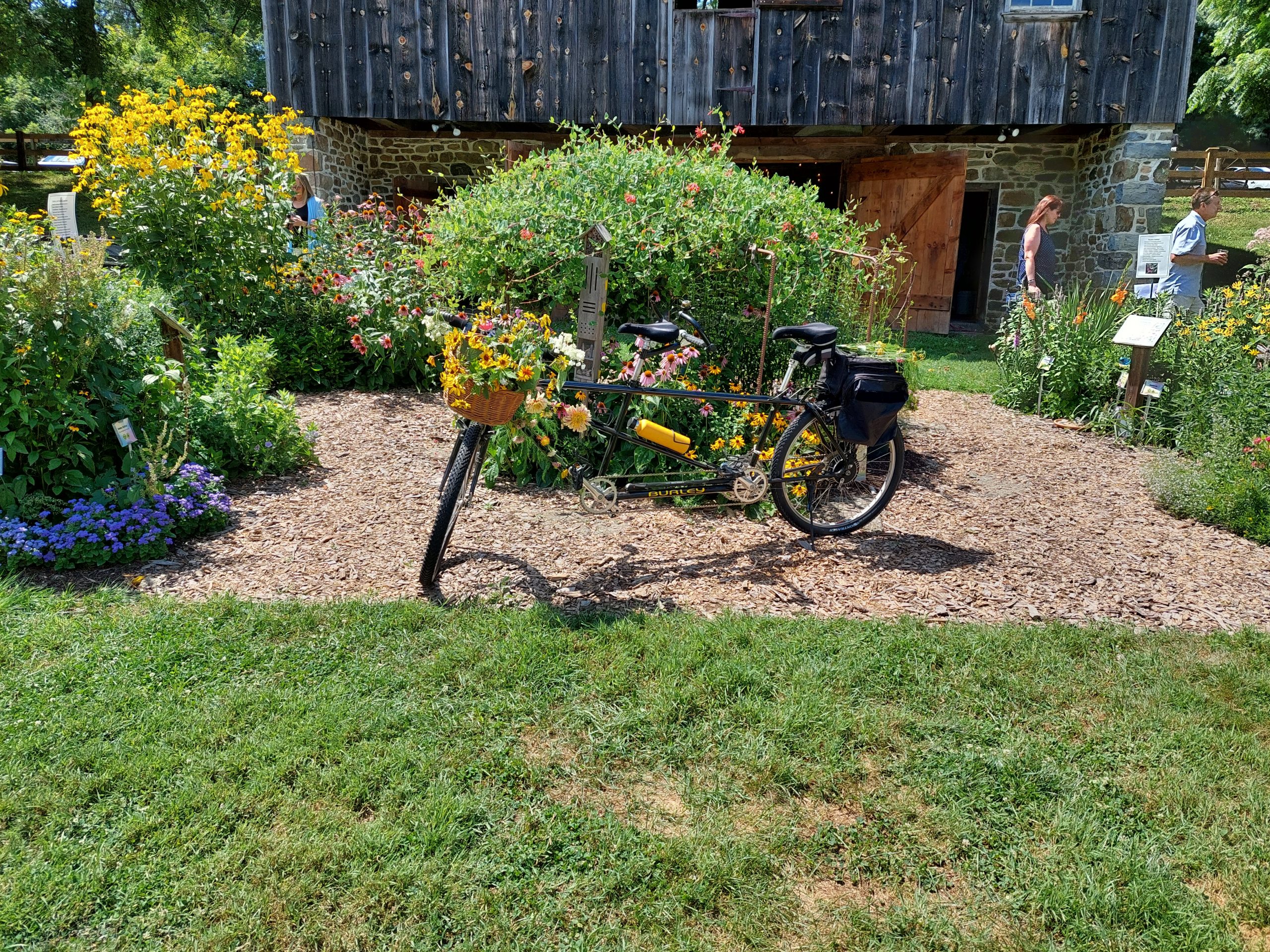
Yesterday Anne and I did a ride out to the “Snoopy Barn” in Nazareth with our cycling neighbors Mat and Diet, and our other neighbor Josh. Our true goal was Sweet & Savory Bakery in Nazareth; we stopped there for donuts and coffee on the return trip and had a picnic at the nearby park. We were out from about 10:00 to about 2:30, with actual ride time of just over three hours for our 33 mile round trip.
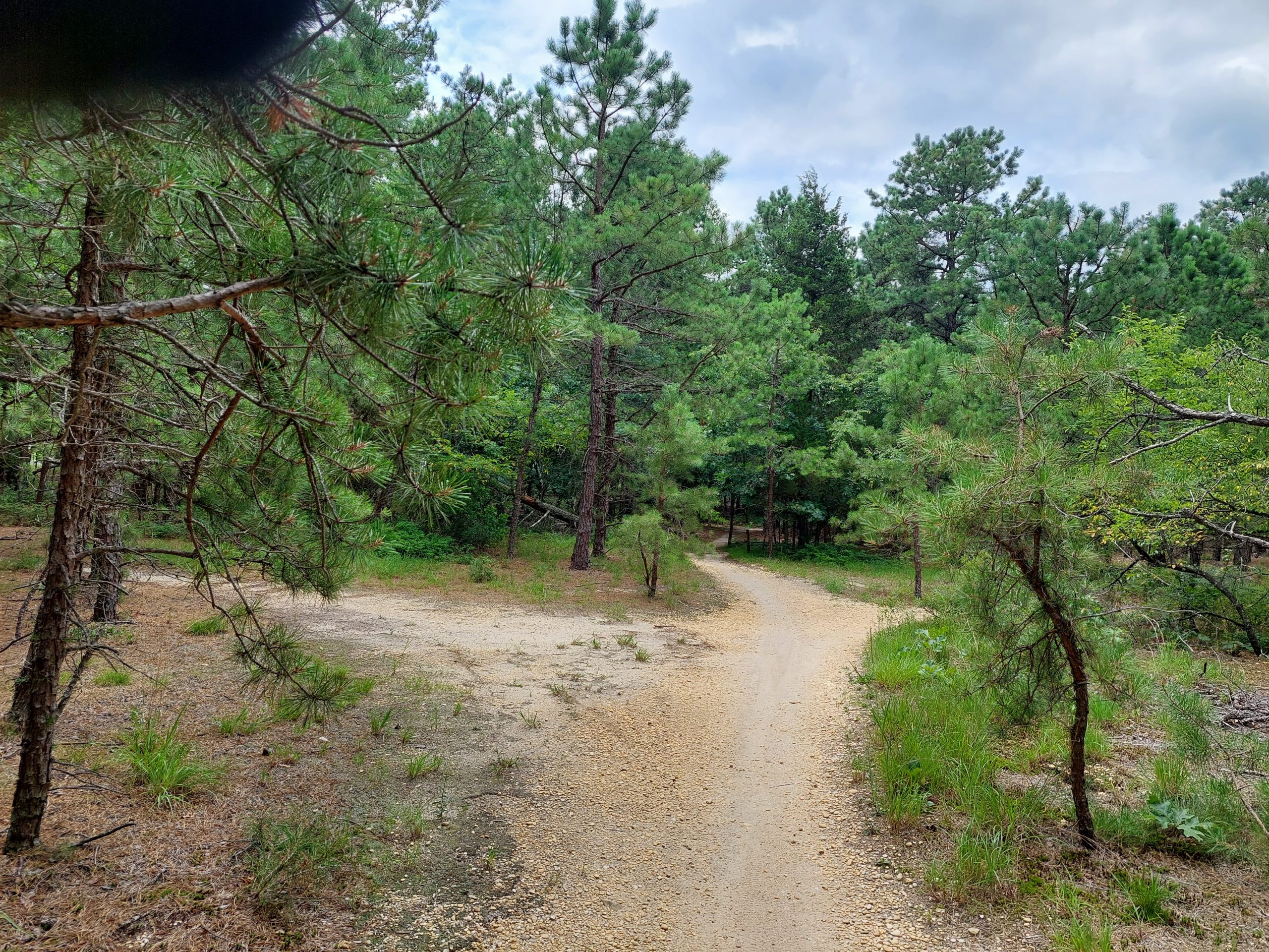
Saturday we went with our friend Yani B, and Dwight and Rachel with their son Josh, up to the Game Lands in Jim Thorpe. We parked at the first Game Lands parking lot, rode out the the second overlook, then on the return trip we stopped to hike down to the big flat rock area at the top of Glen Onoko Falls, where we dipped our feet in the creek’s freezing water. We spent quite a bit of time at the overlook and the falls, and we also stopped for a picnic in town so it was a long day, but our total riding time was about two hours for seven miles on the old Broad Mountain doubletrack.
These trails are, sadly, far less fun than they used to be, ever since the Game Commission put down ballast stones, but mountain biking was an exciting new experience for our friends, especially Yani (and Rachel — Dwight is an outdoorsman with quite a bit of MTB experience, and I’m sure he’s brought Josh on some adventures), so it was fun to share the general enthusiasm.
Thursday was the make-up day for the Weekly Women’s Bike Ride, and I joined Anne and the ladies for a ride down the South Bethlehem Greenway and part of the Hellertown Trail. (Musikfest was in full swing, with Sand Island as ground zero, so riding the D&L was out of the question.) Thirteen miles total, about two hours at “conversational pace,” and then we stopped in at F&A Grog House afterward.
Saturday a week ago I helped Anne run a Smart Cycling (i.e. LAB “road one”) course, with some classroom learning, skills training at a nearby basketball court, and a 5-mile “put our new skills to use” ride around town. I haven’t done anything like that in quite a while, and I was surprised at how much fun I had teaching.
The Friday before was a road ride, just me and Anne, down to Milford for lunch. Forty-six miles, maybe five hours plus breakfast and lunch stops. It was a bit on the warm side (and we were out in the sunny hills at exactly the hottest part of the day), but what a beautiful day!
Thursday was the Volunteer Appreciation Breakfast at the Canal Museum, and I rode there on the Iguana. Twenty towpath miles — two 10-mile rides really, with a breakfast in the middle.
All of these events were followed, eventually, by an afternoon nap.