Morning weigh-in: 171.5#, 11.5% BF (not great, not terrible)
Today was the first weigh-in since we got back from vacation, and it’s also the first “fast day” since before Denver — who diets on vacation? But now I’m back, and back in the groove.
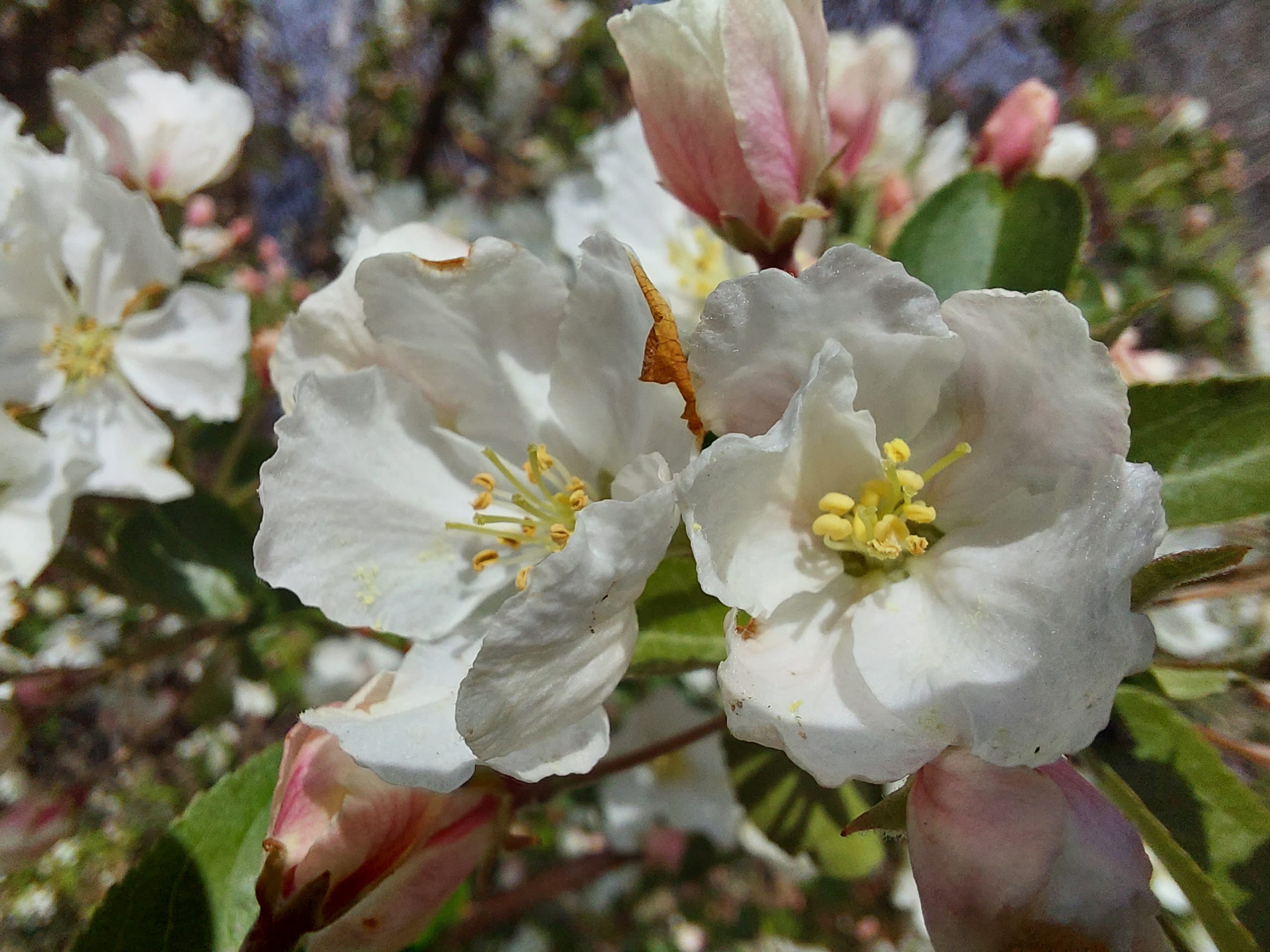
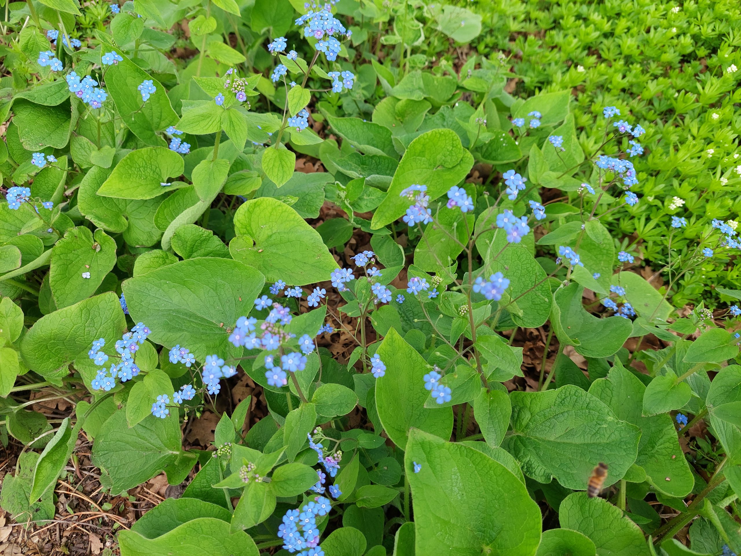
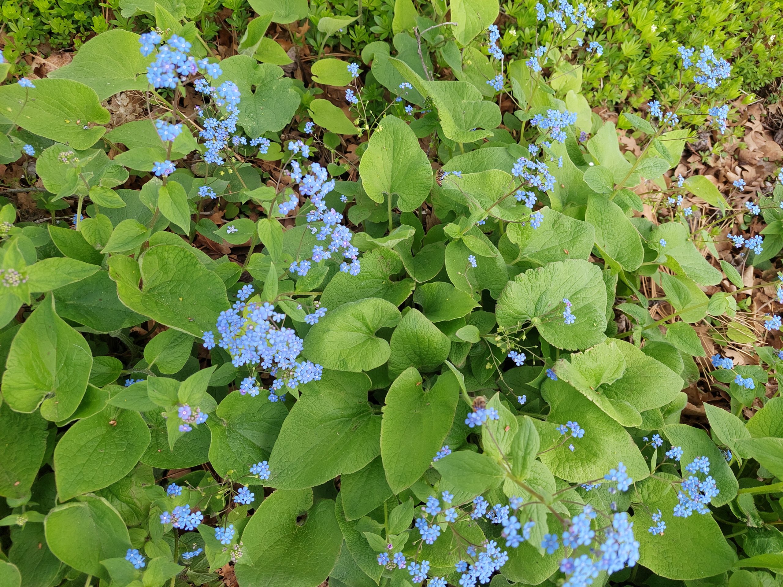
I got in a towpath ride yesterday, my first bike ride in weeks. It was a beautiful warm sunny day, and Spring (which had just been starting to happen when we left), was in full bloom along the towpath. All sorts of flowers (phlox, king’s rocket) along the path, with fully greened-up trees all around, blooming with flowers of their own and filling the air with perfume, just perfect as I rode along the sun-dappled trail with the water sparkling next to me.
Anne went out earlier on a road ride with Julie, and reported that she could feel a positive effect from our weeks at altitude. I noticed it too: my perceived effort and my heart rate were both lower than I expected, and I seemed to be cruising along at a good clip too. Then I reached my turnaround, and realized I’d had a tailwind on the way out… Still, I felt pretty good considering my time away from the bike, and had a good overall pace despite the wind.
Today was the CAT/Bethlehem Bike To Work Day festivities and short ride, and in a few minutes I’m bicycling over to a doctor’s appointment. Bike bike bike…
Well, we’re home. We flew to Philly yesterday and rented a car to get the rest of the way — hard to believe, but that’s probably the easiest way to get between PHL and here. We were home in time to vote, but there’s no food here, the grass was ( was! ) a foot tall when we drove up, and the car had trouble after sitting for two weeks — it sounds like something is broken and clanking inside one of the wheels, no idea how that could have happened just sitting there. But now the car’s been towed to the shop, the lawn has been tamed, my first load of laundry is done and I’m gearing up for a bike ride, my first ride in two weeks…
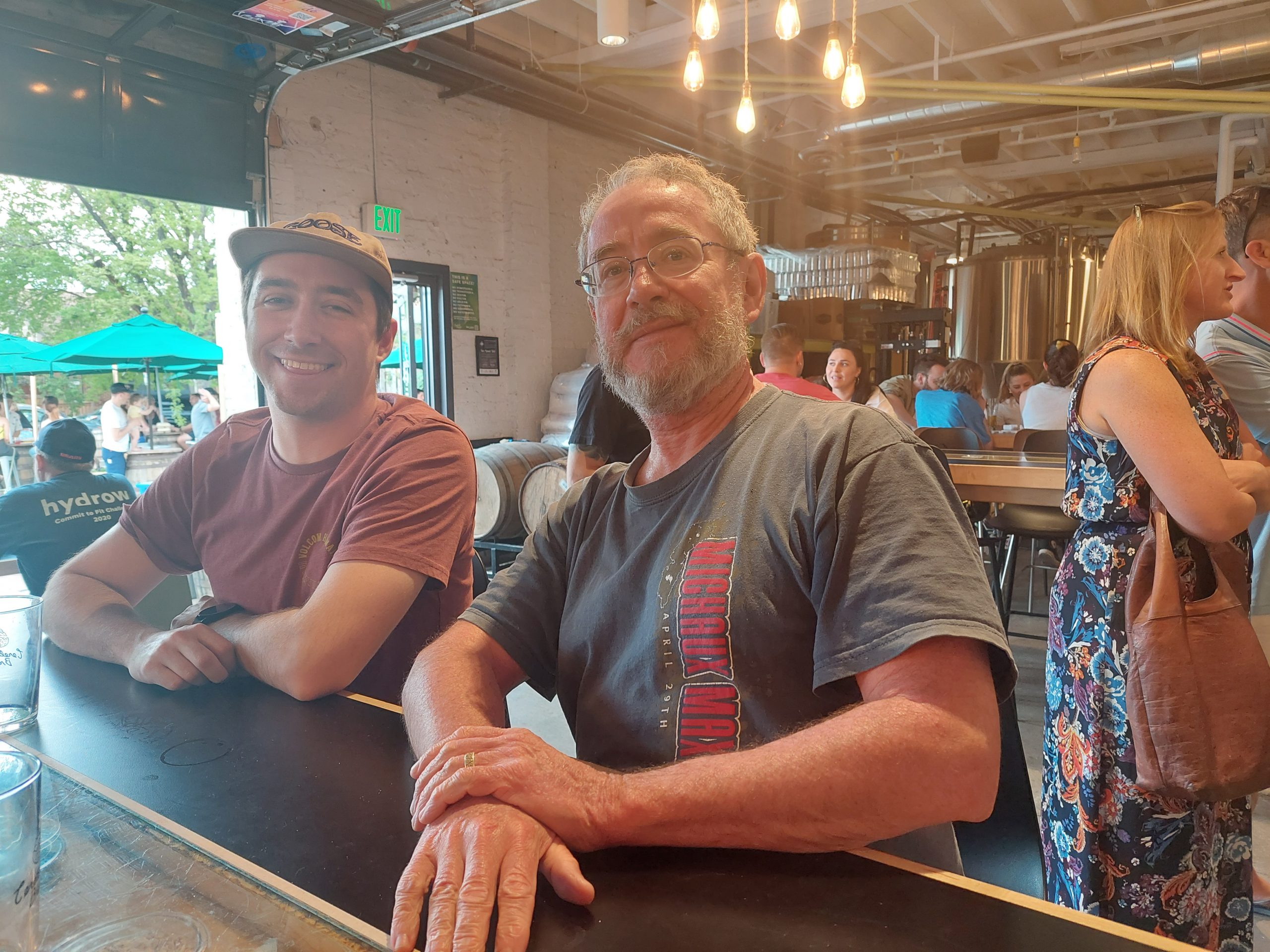
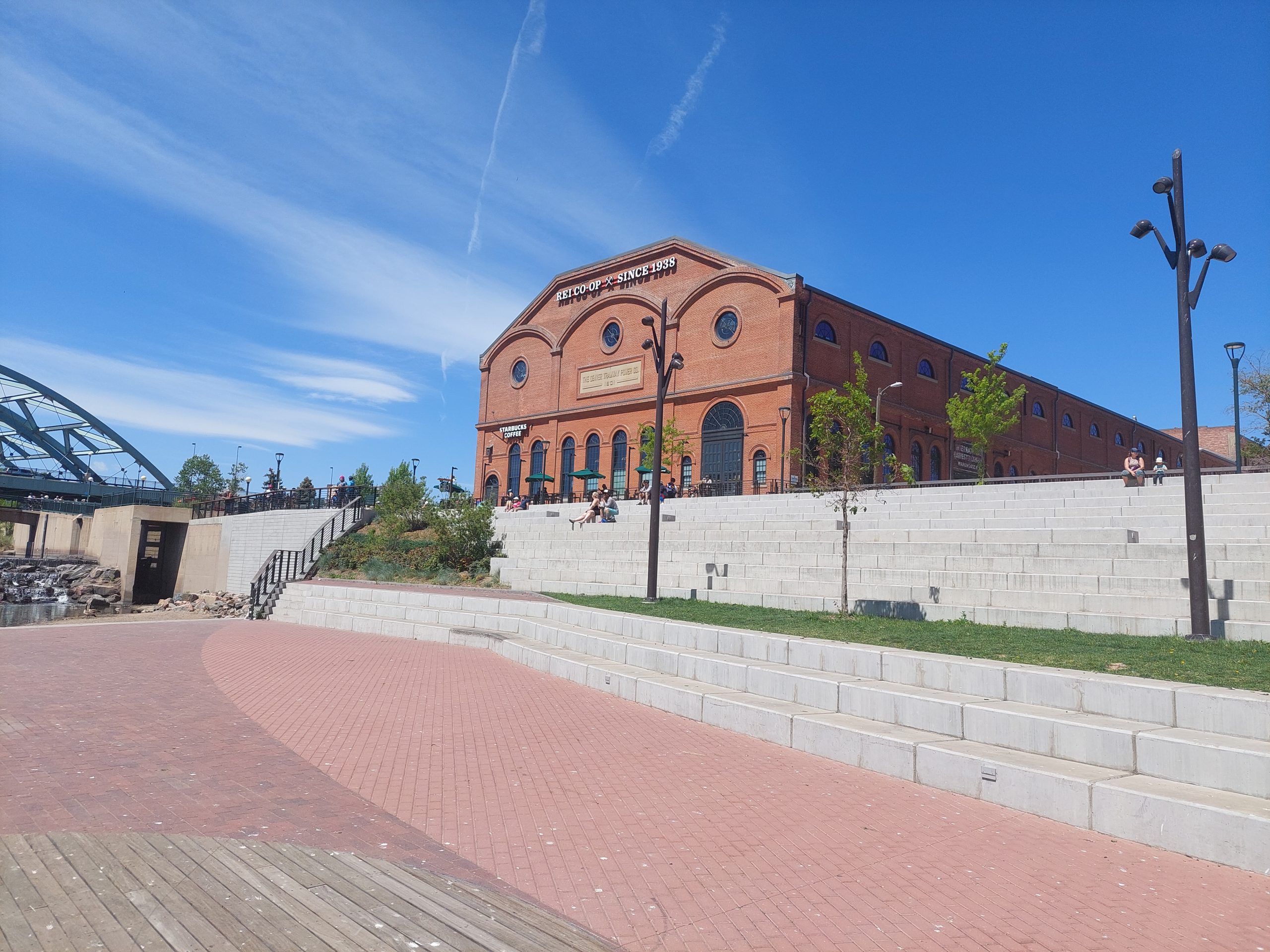
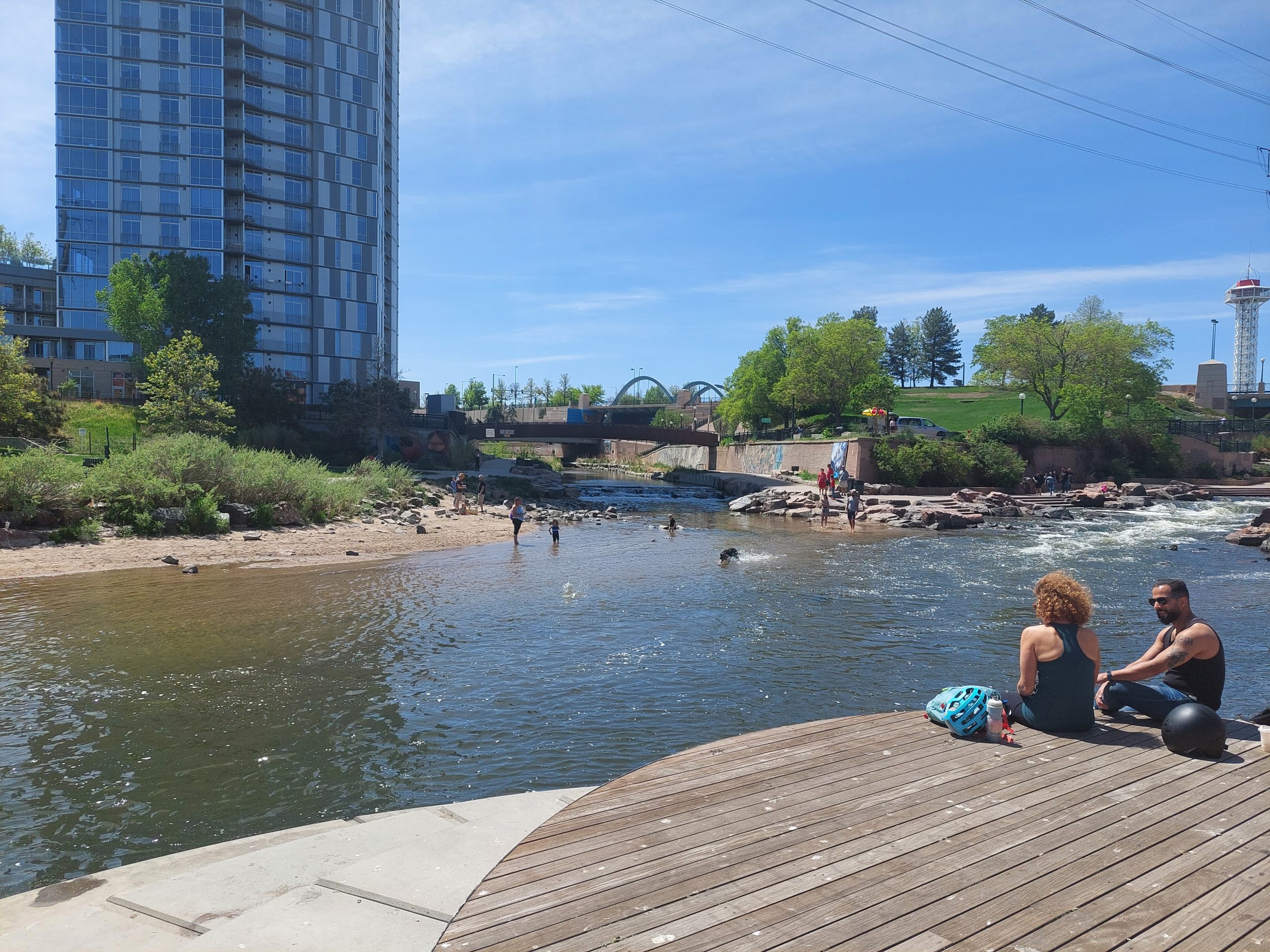
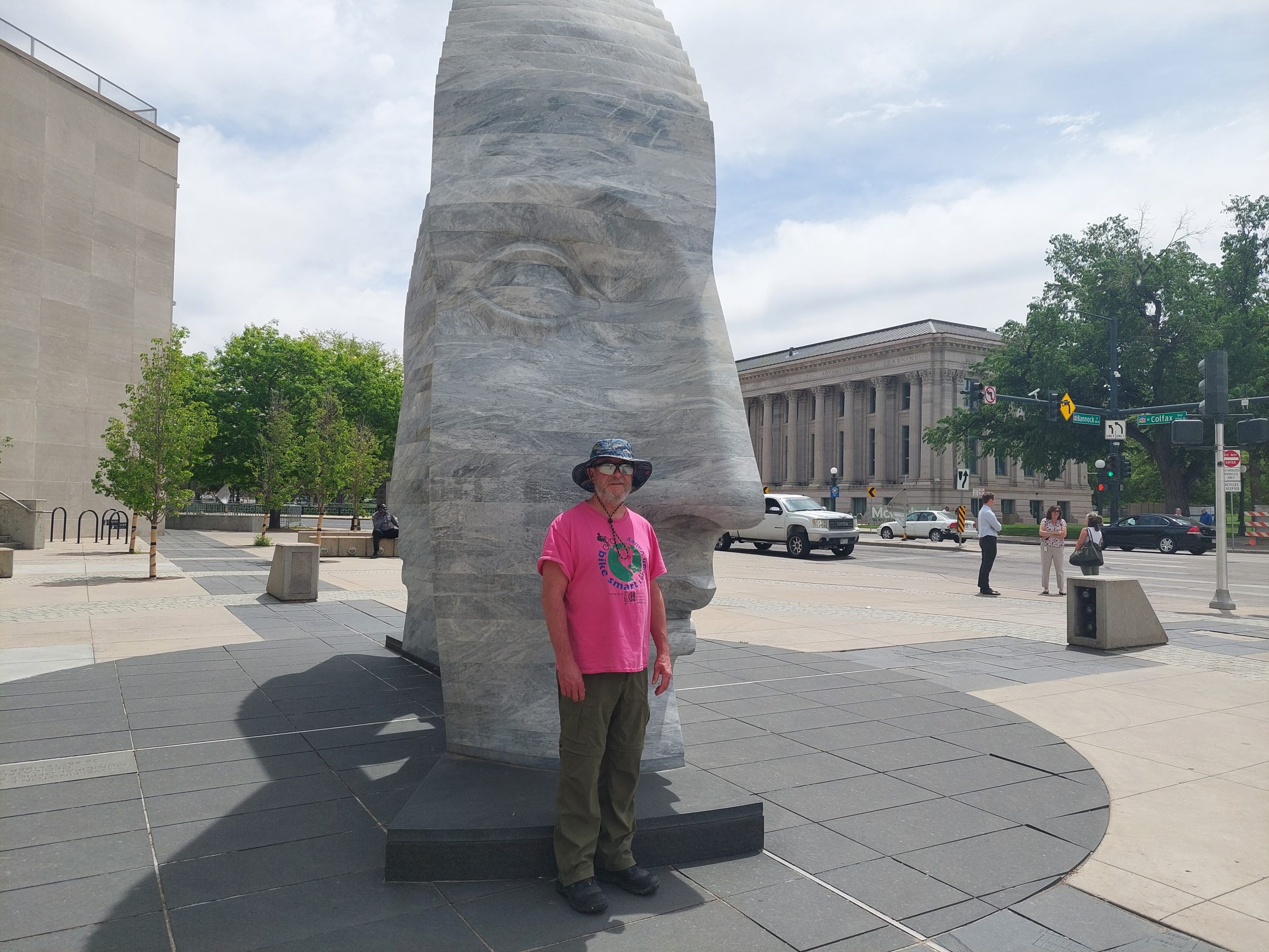
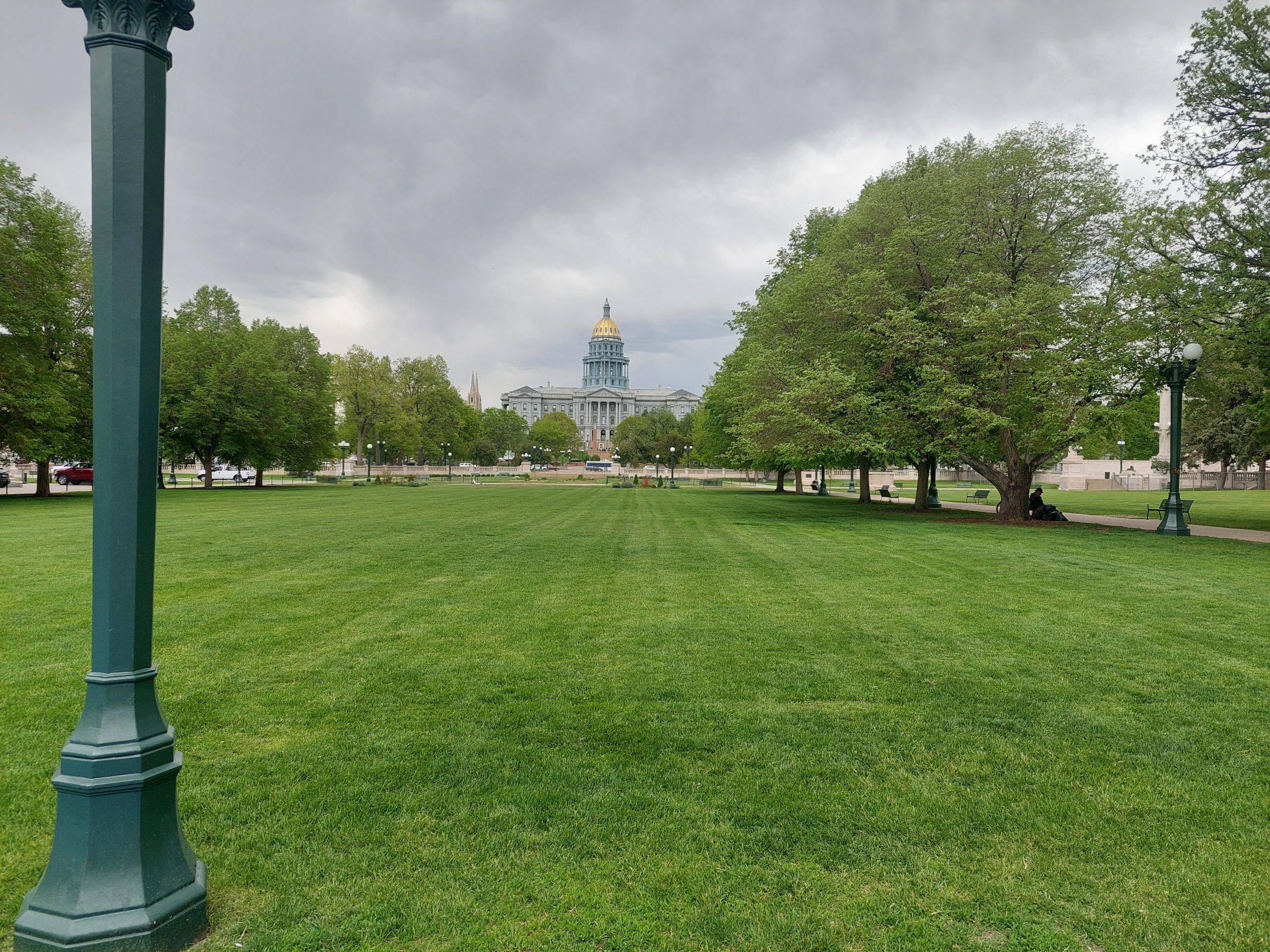
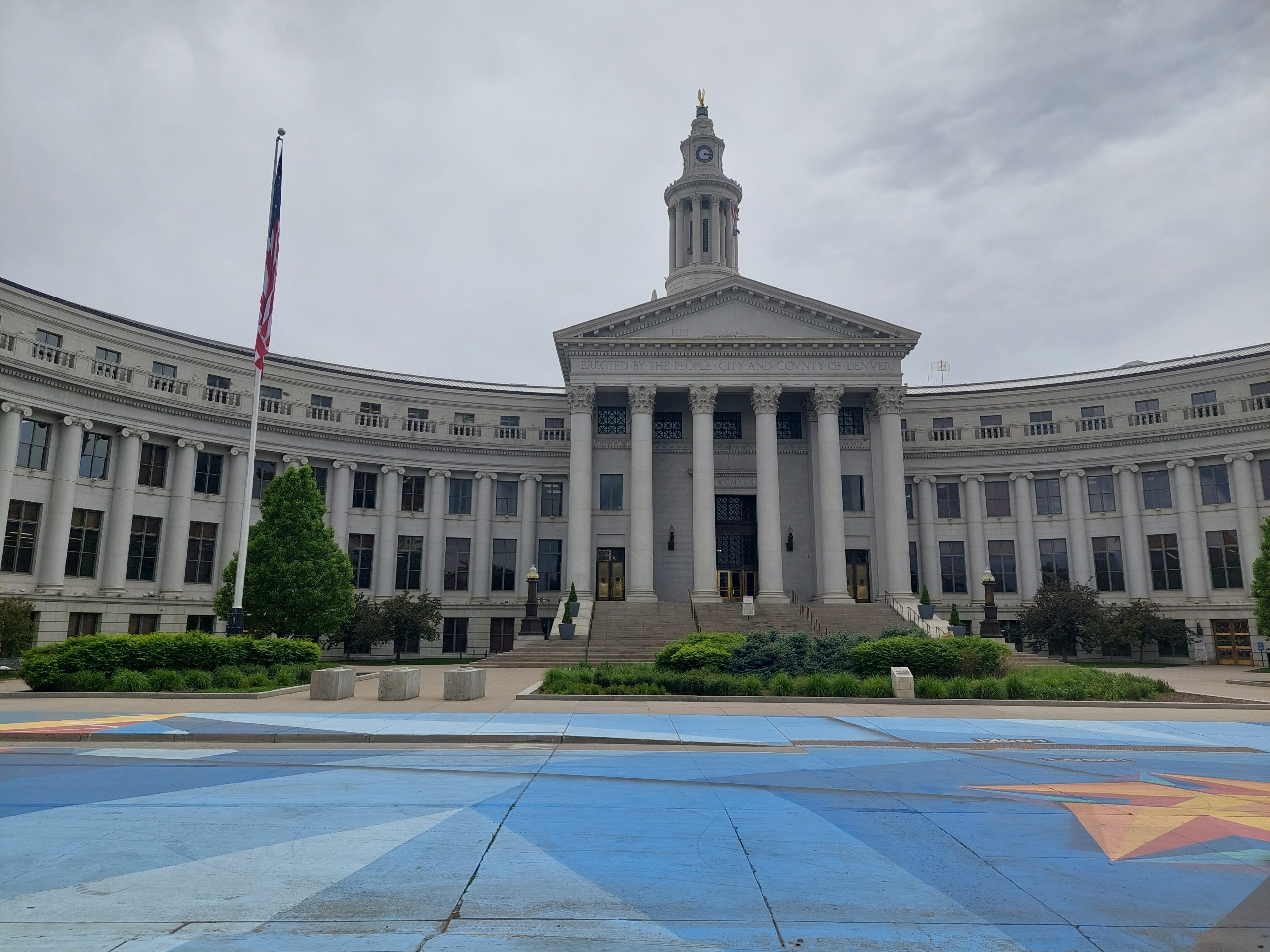
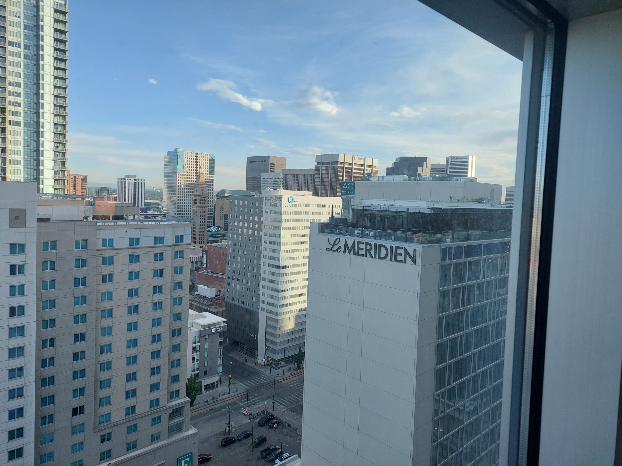
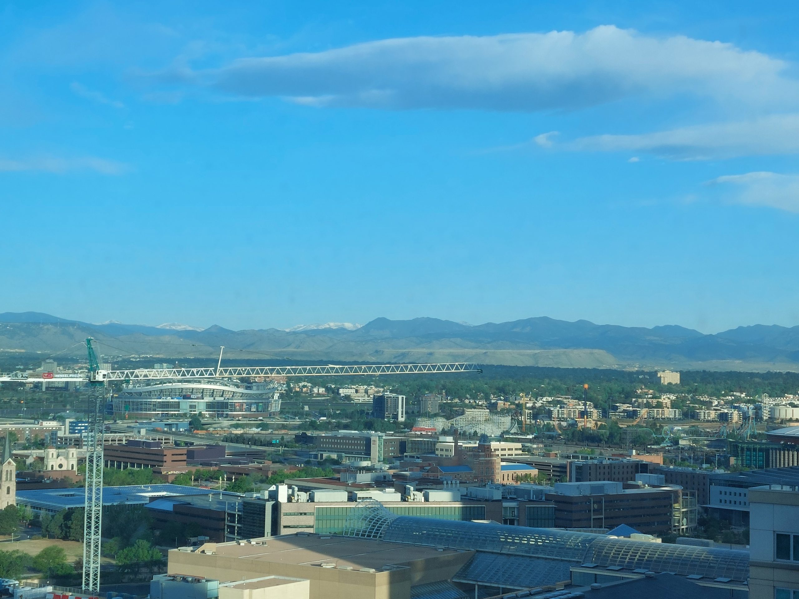
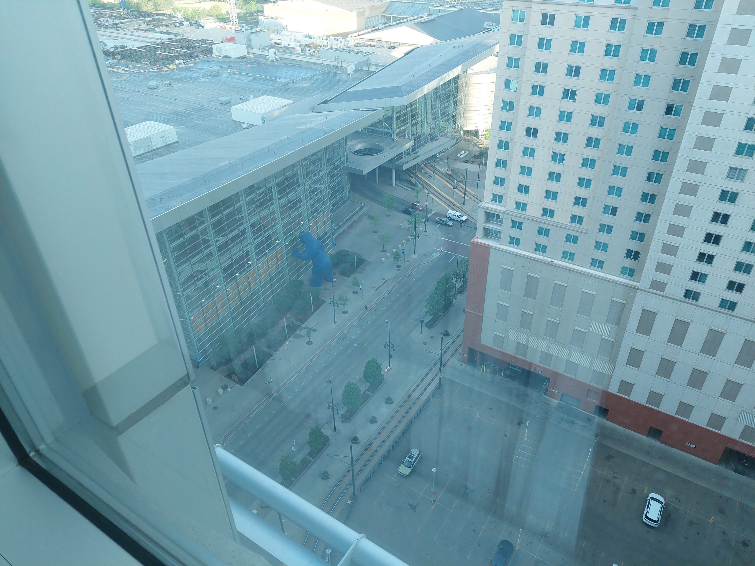
Our time back in Denver after Colorado Springs was not too crazy, we just stayed in a nice hotel downtown and did some exploring: we saw the Denver Art Museum, and visited the REI “flagship store,” and watched the lunar eclipse from the fancy rooftop bar we could see from our hotel window. We’d returned the rental, so we did everything on foot, except for one time, when we rented those electric scooters we saw everywhere. (Sorry, no photos!) We did see Emmi & Kyle for dinner a few more times, and also managed to get together for an afternoon with my nephew Chris.
For completeness, here the are photos from the final phase of our trip:
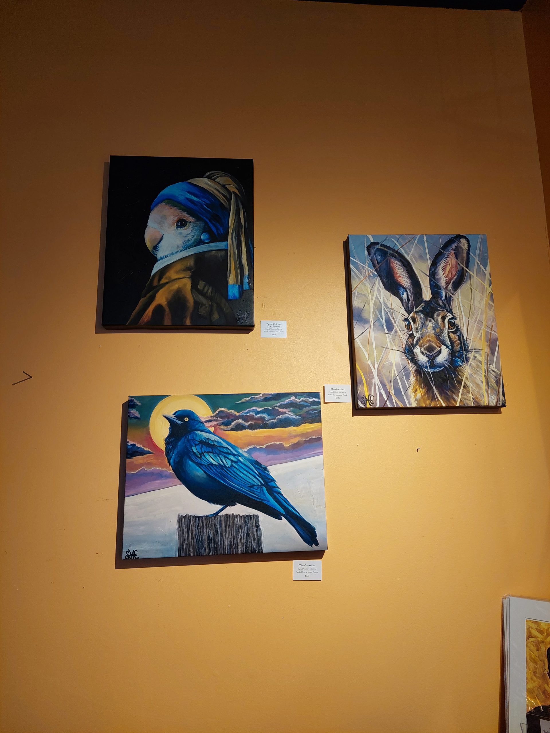
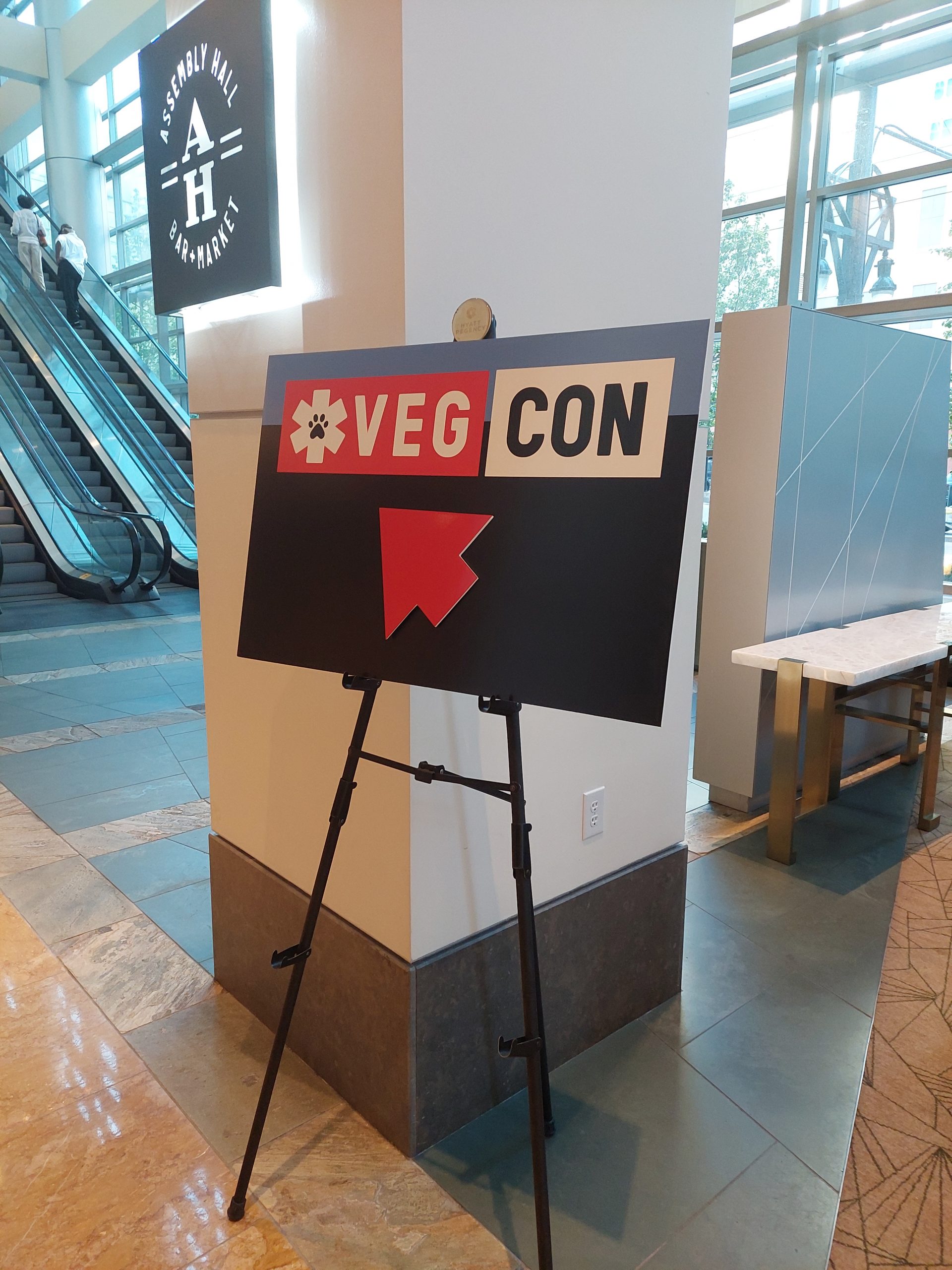
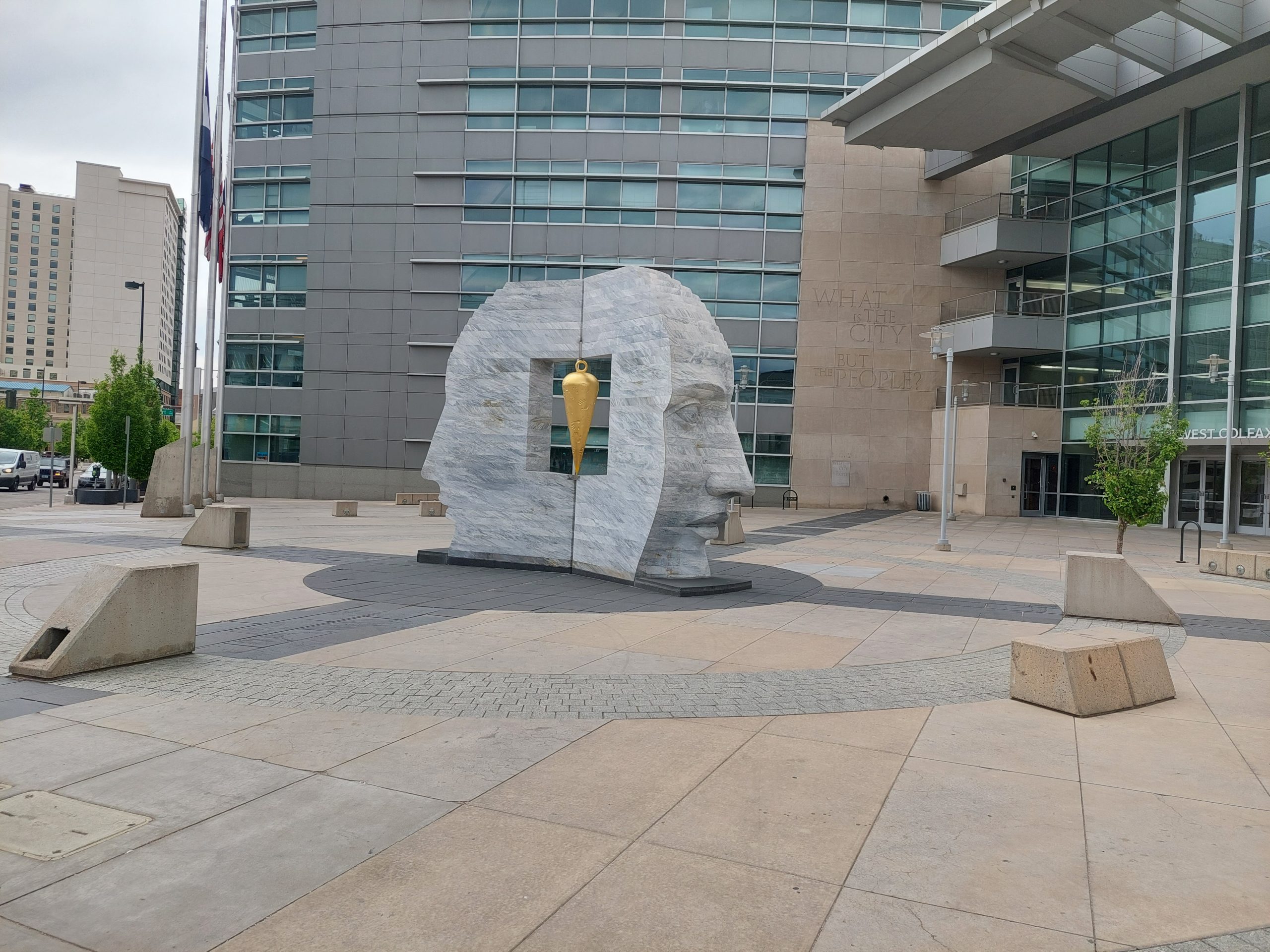
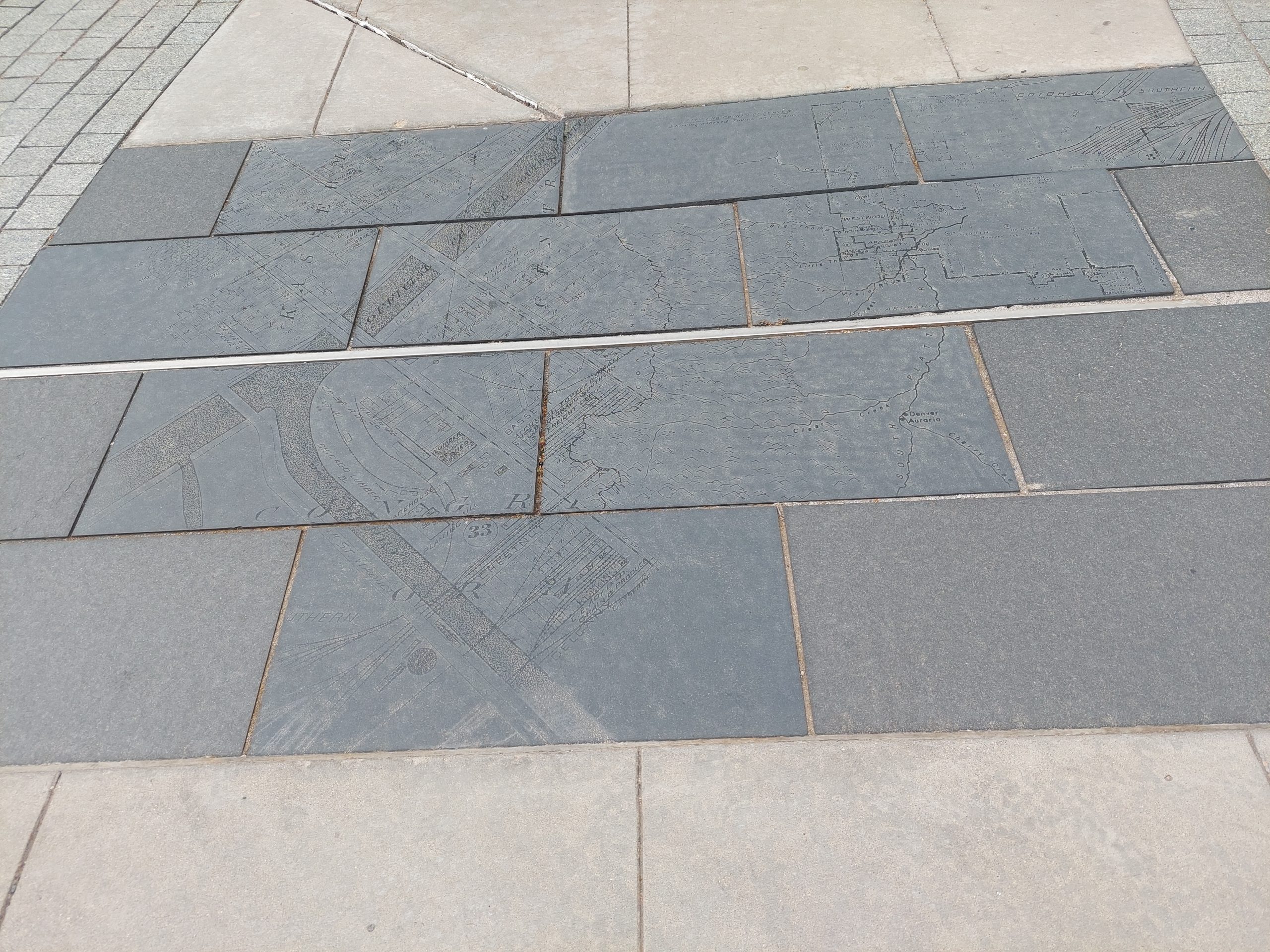
Bird With A Pearl EarringVeterinary Emergency Group ConferenceChris And MeThe REI MothershipSunday In Confluence ParkMe And The FaceColorado State CapitolDenver City HallNose And Carrot?Denver Map (Sanborn Map?)Le Meridien Rooftop BarThe Rockies From Our Hotel WindowGiant Blue BearRockies From The Train
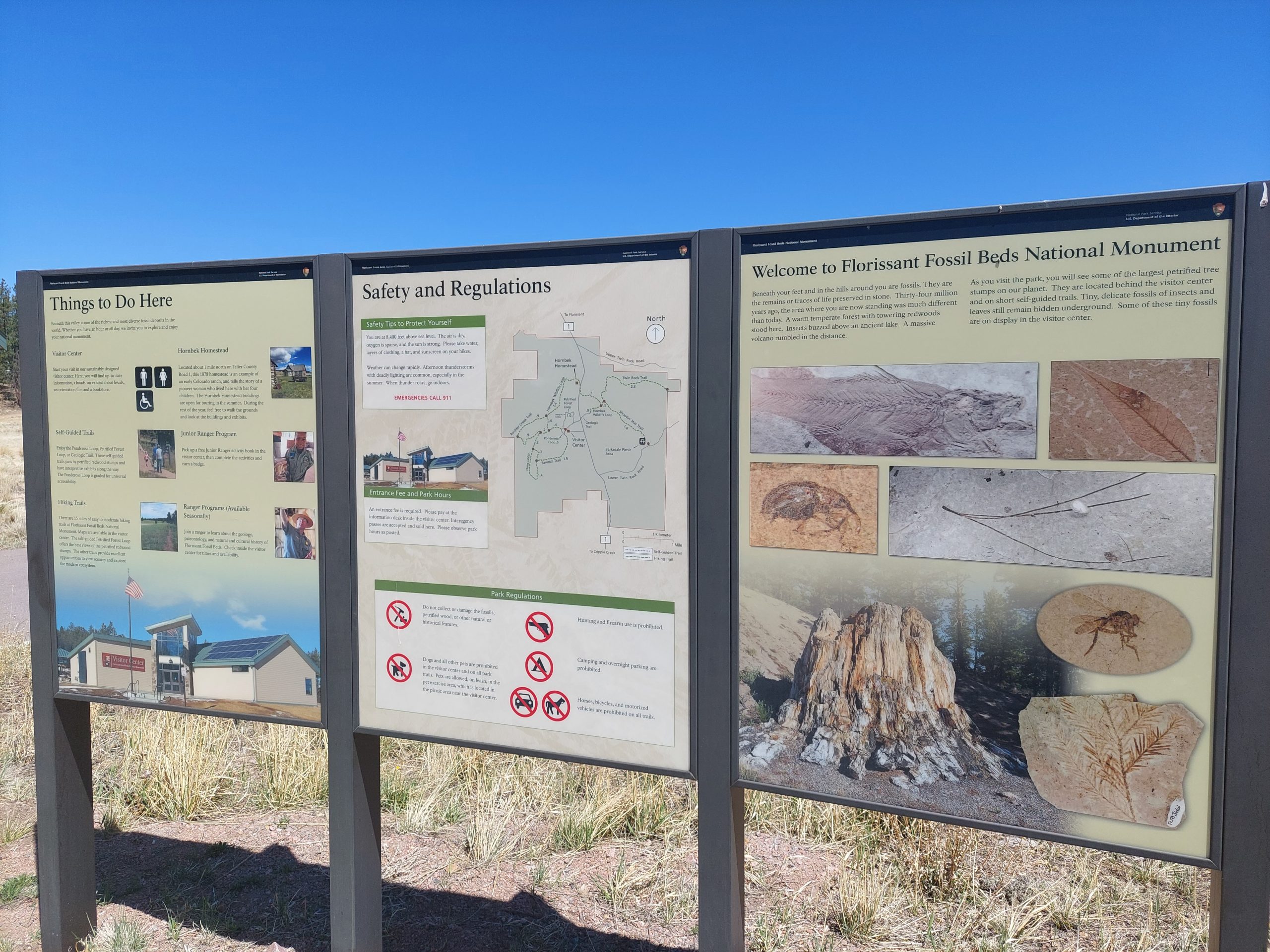
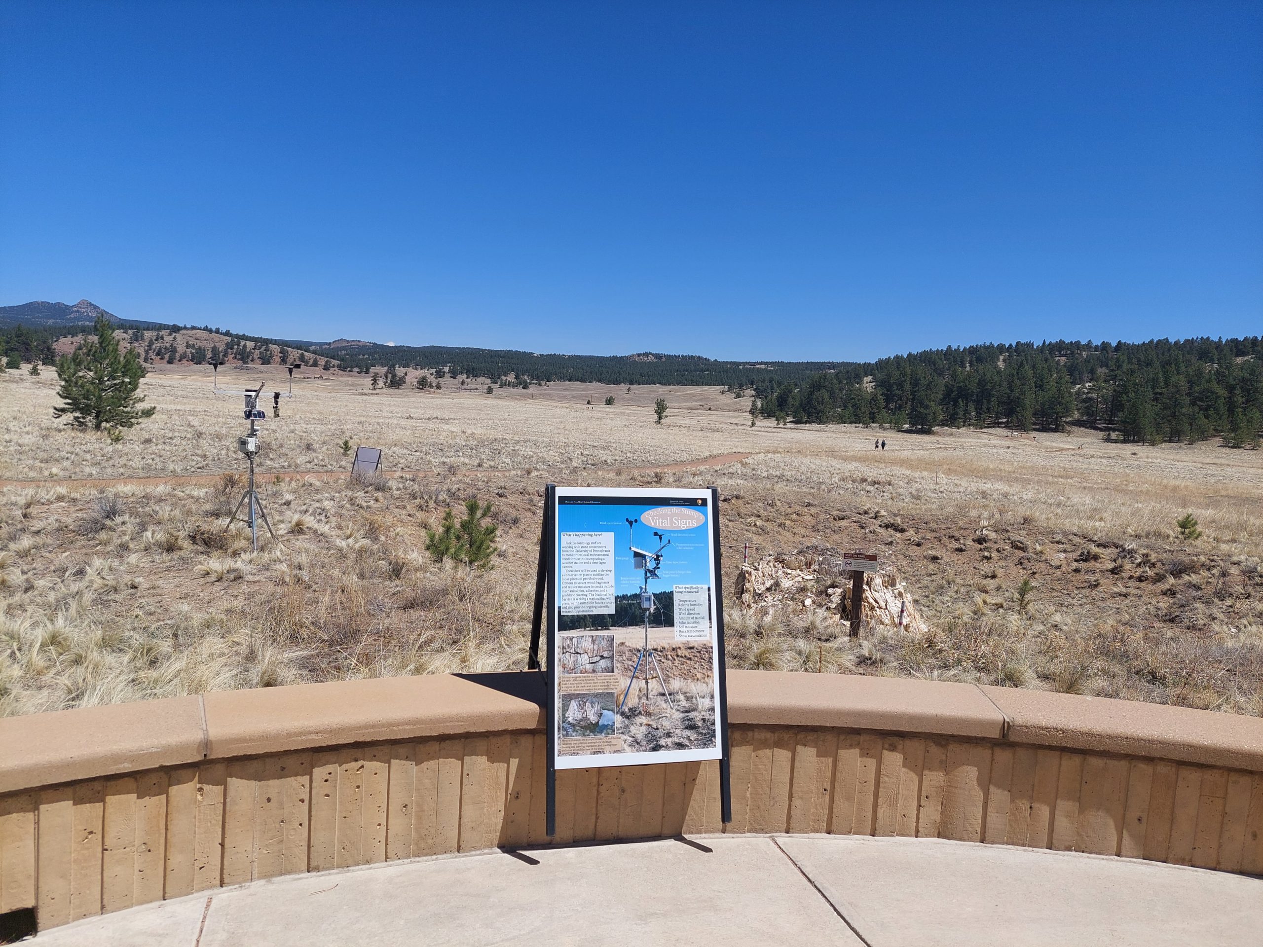
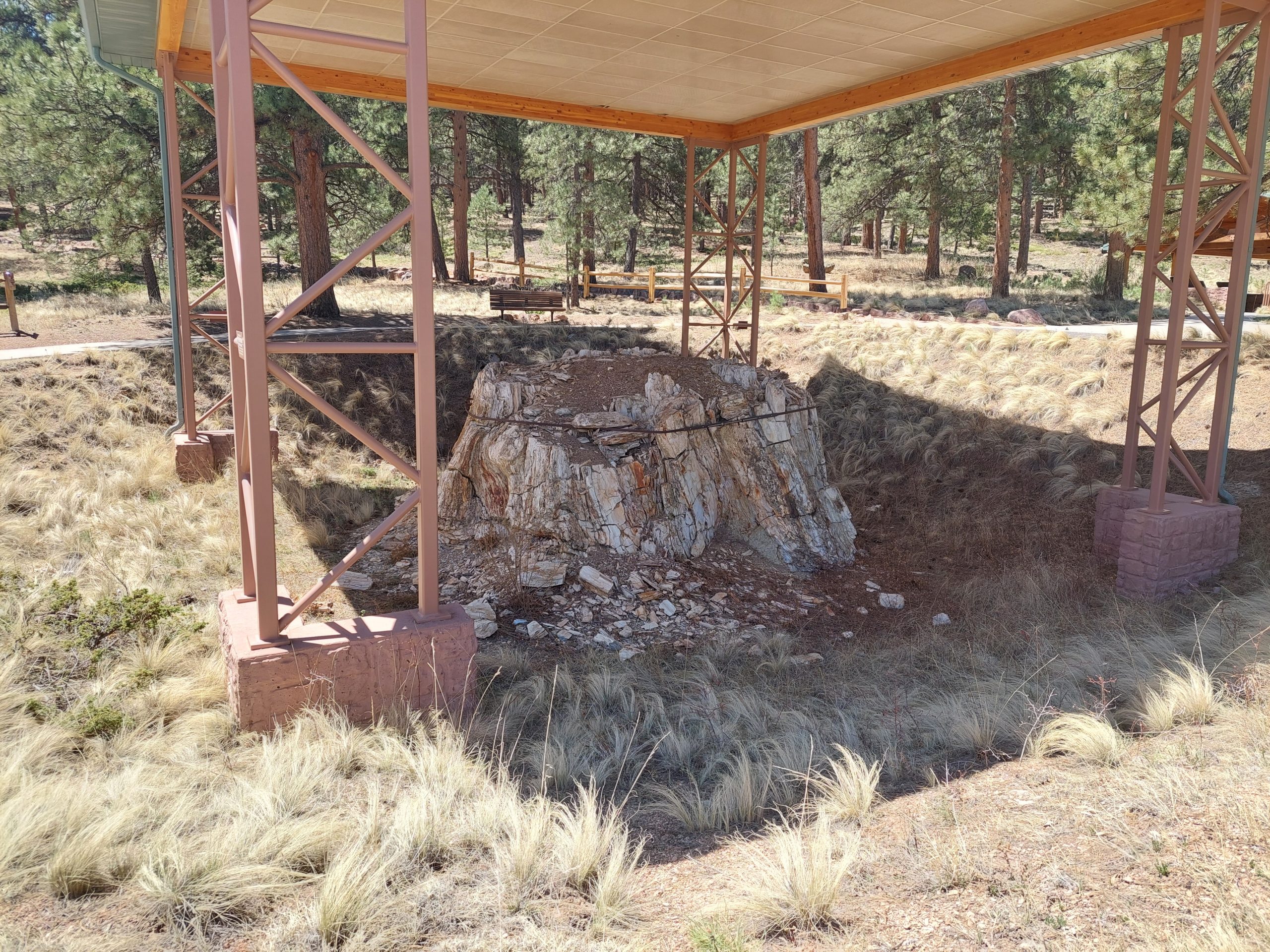
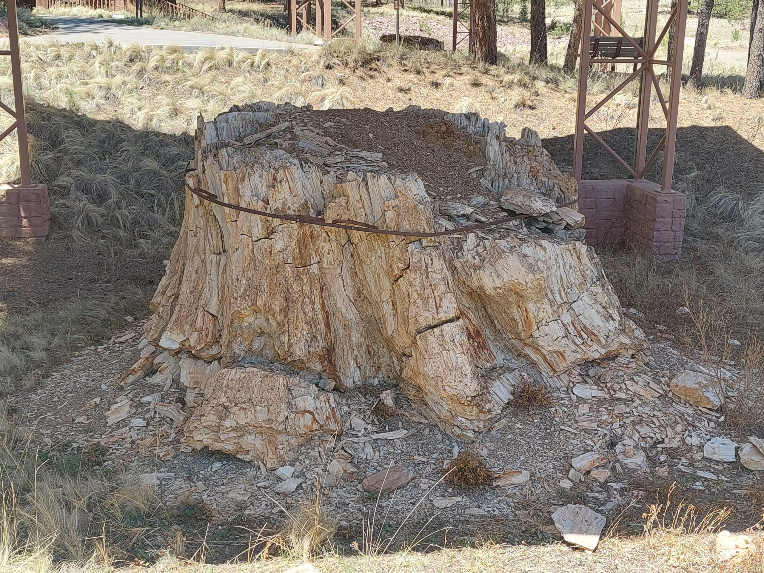
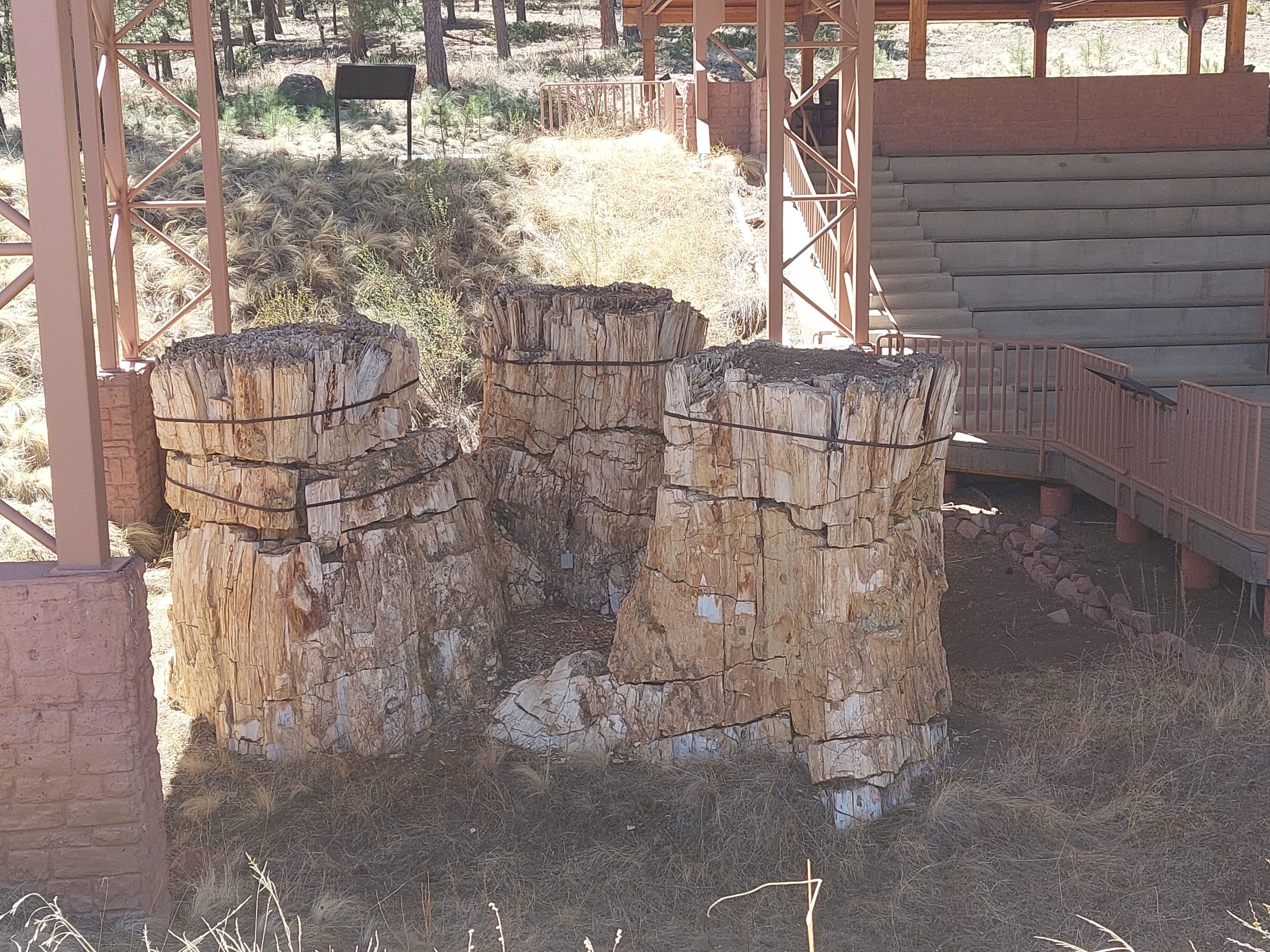
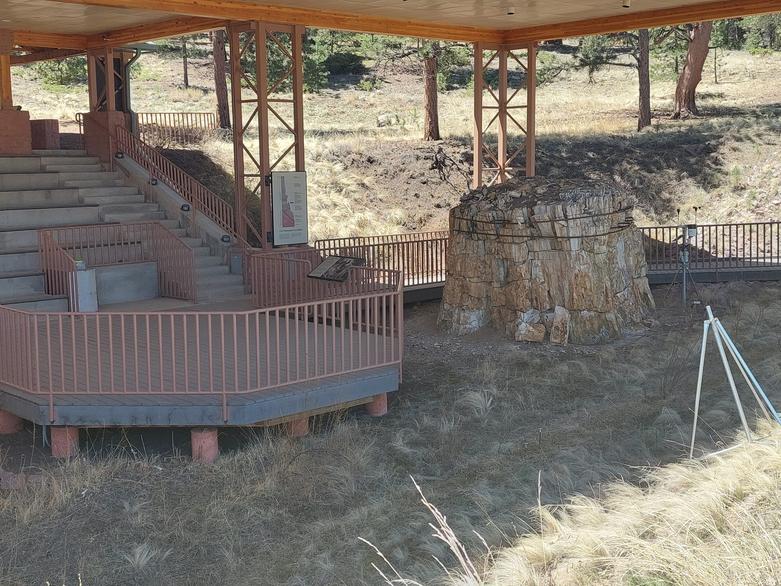
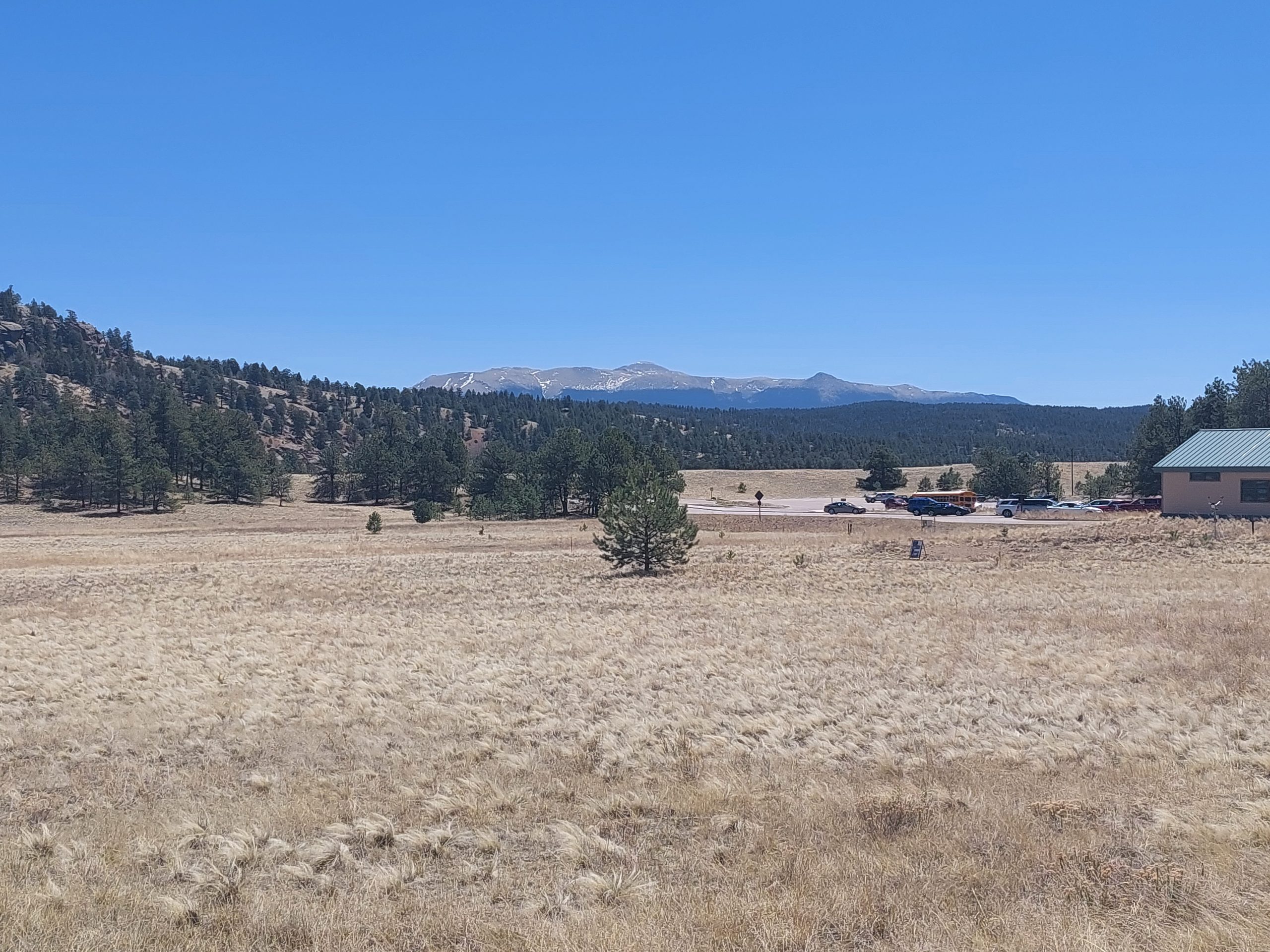
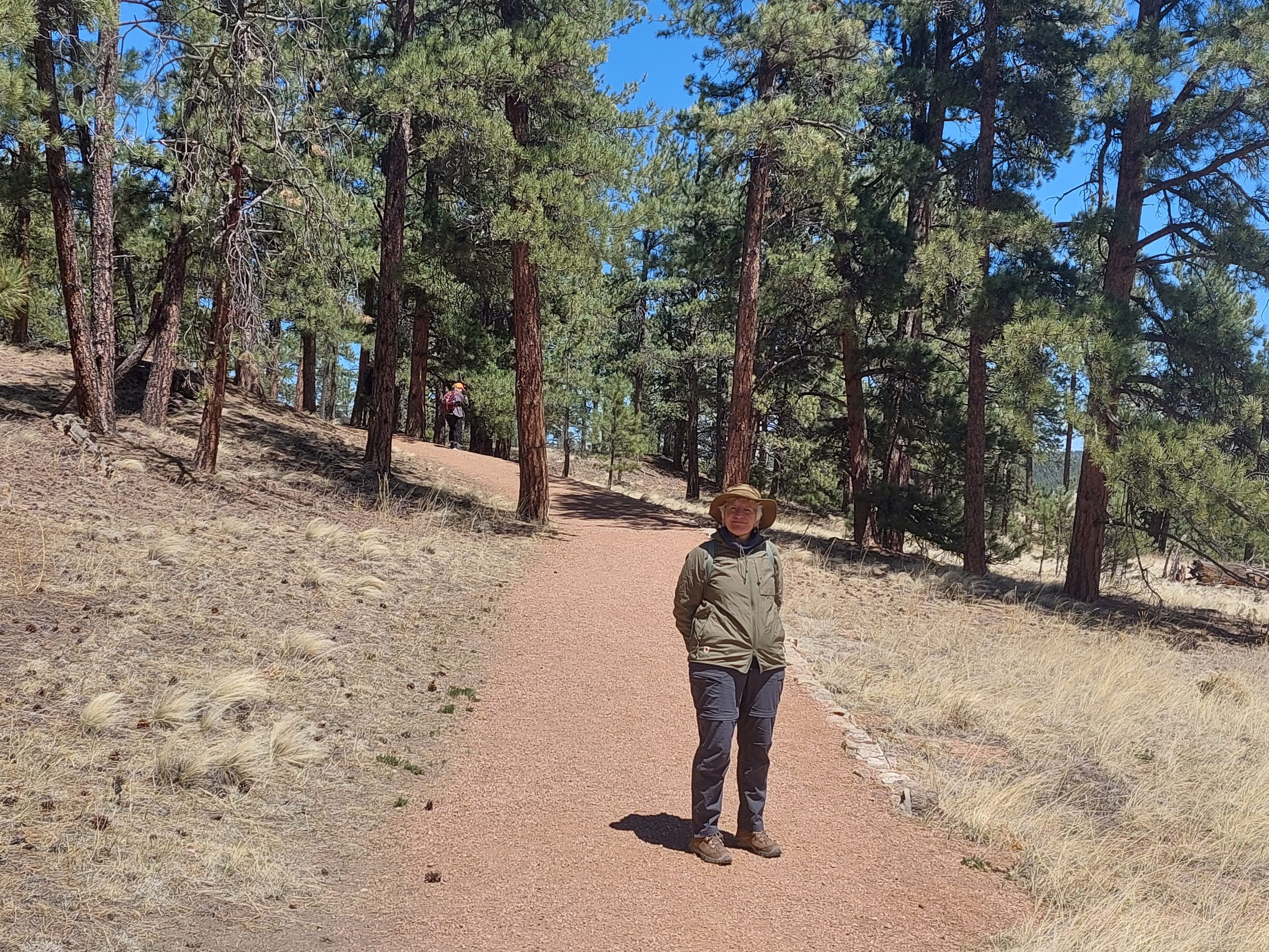
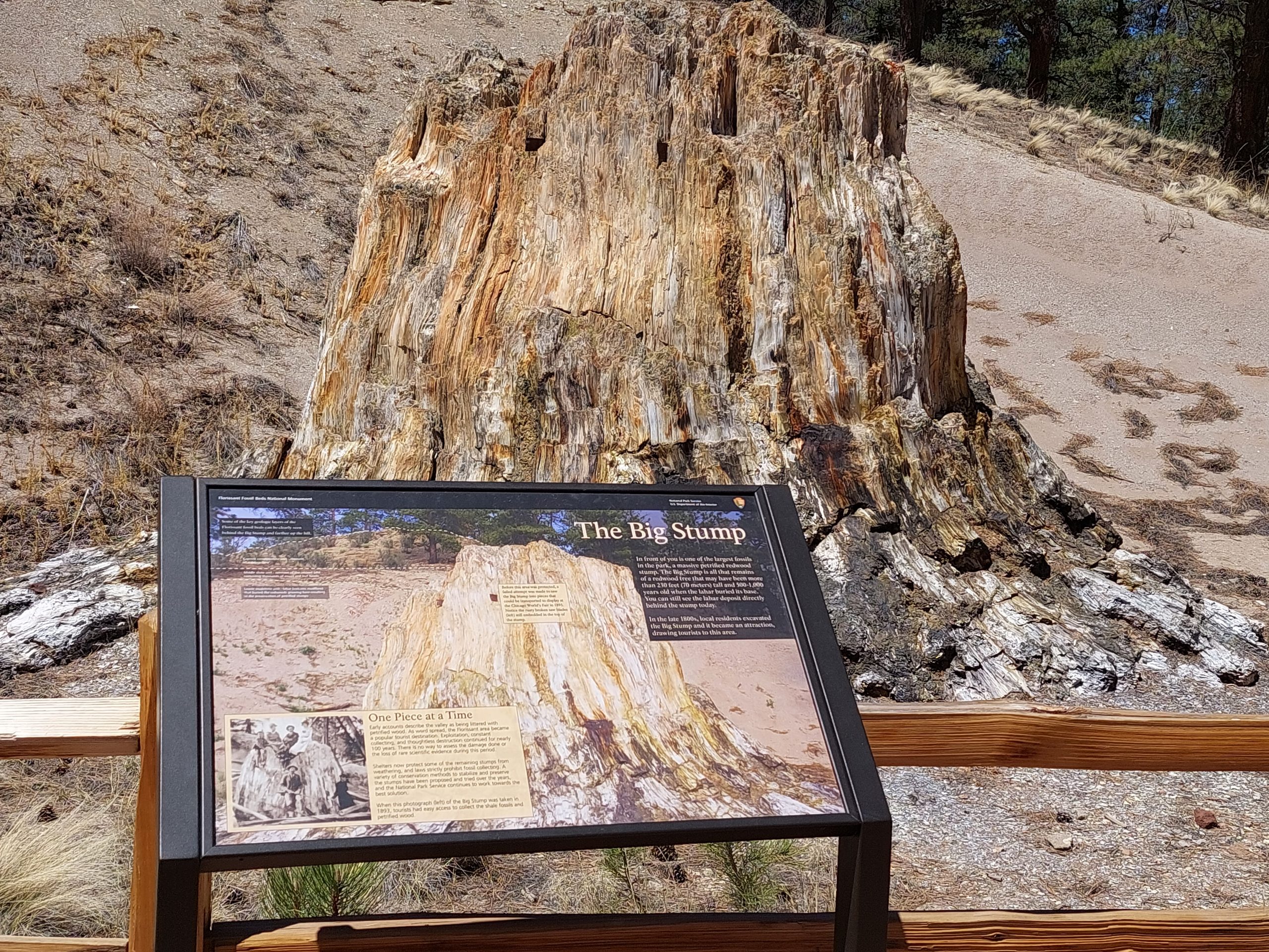
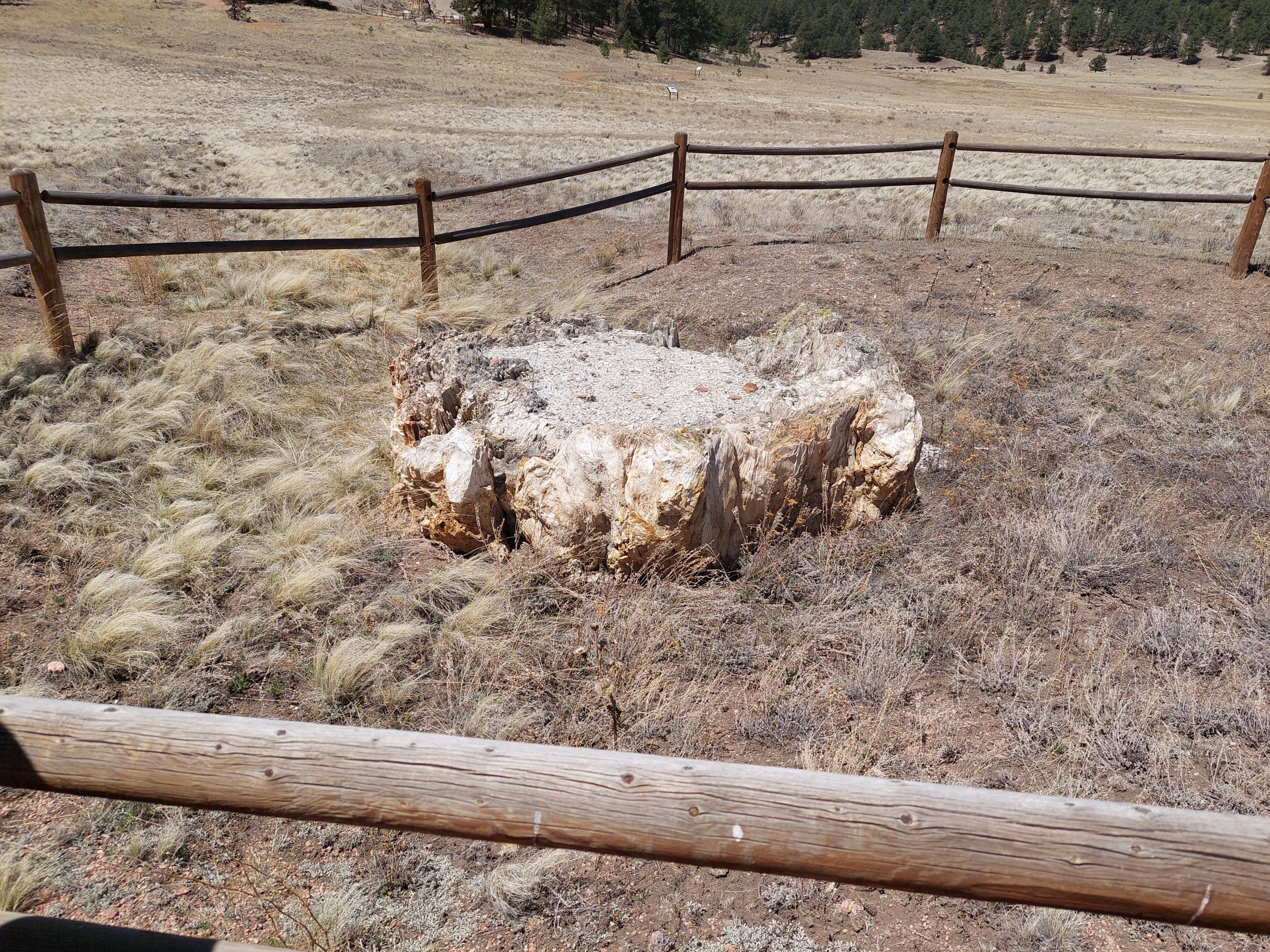
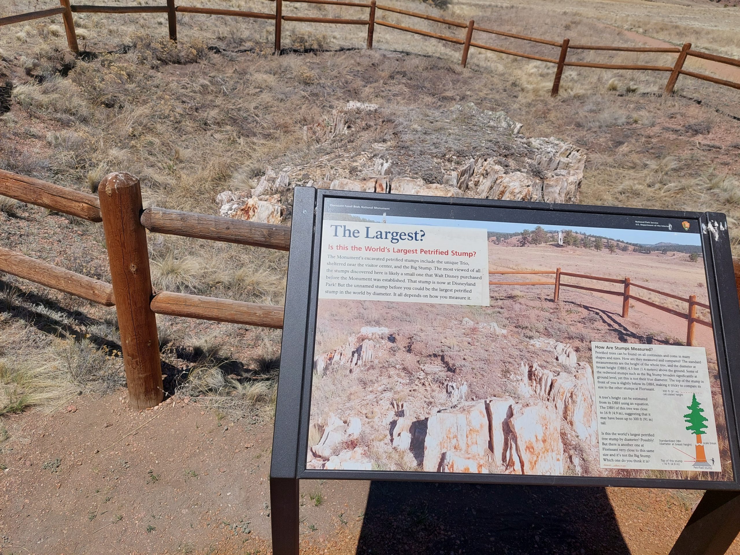
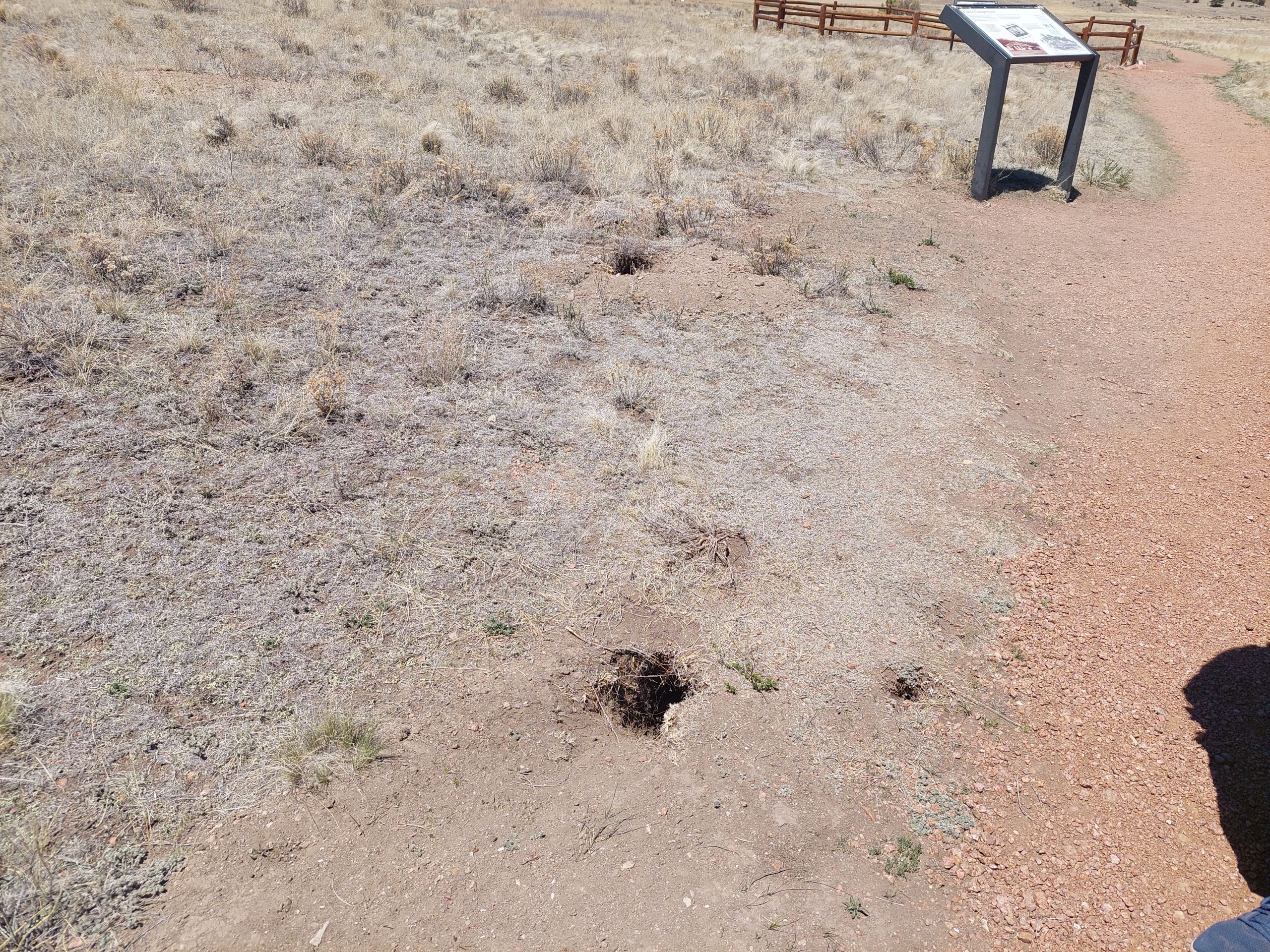
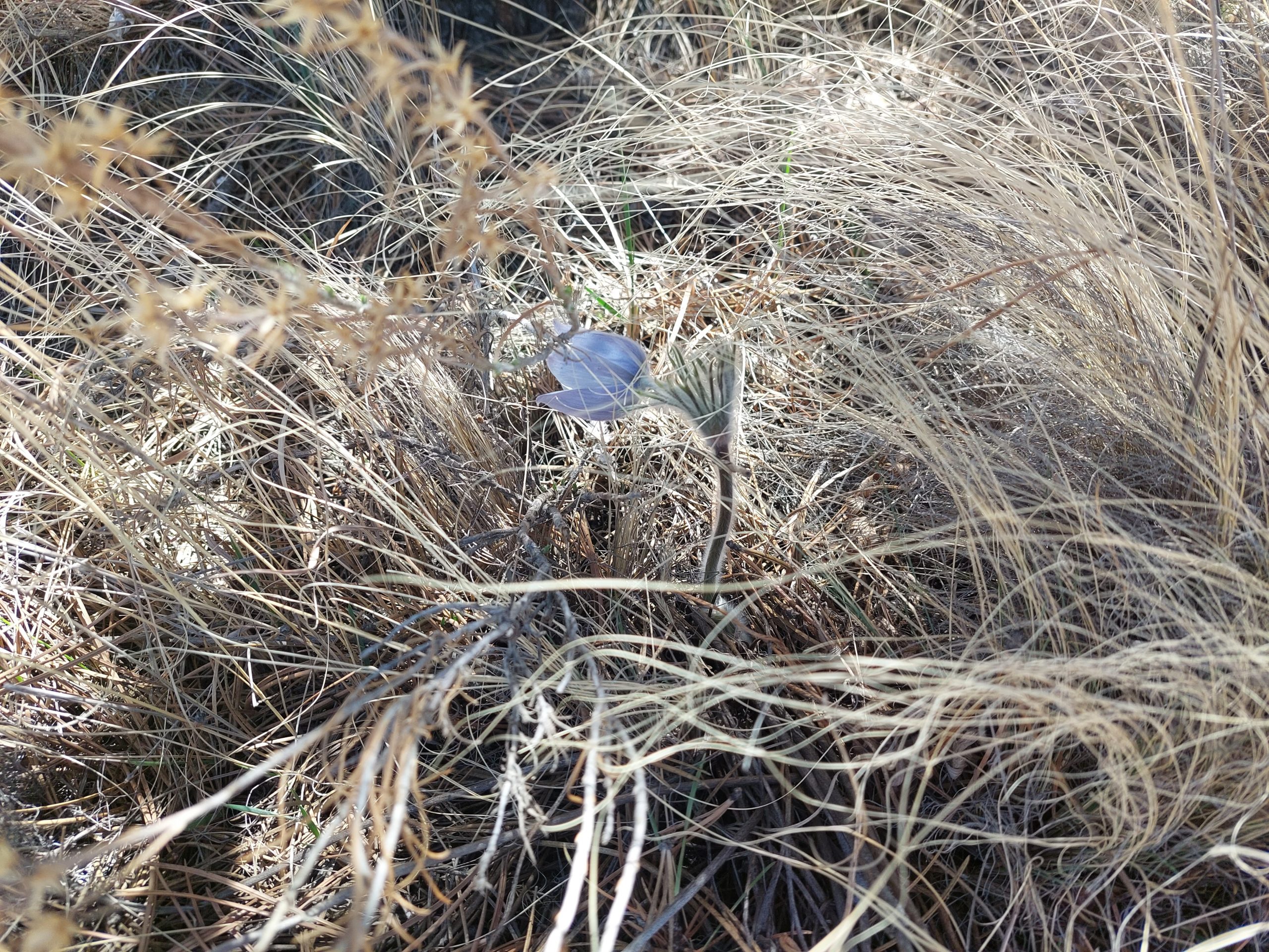
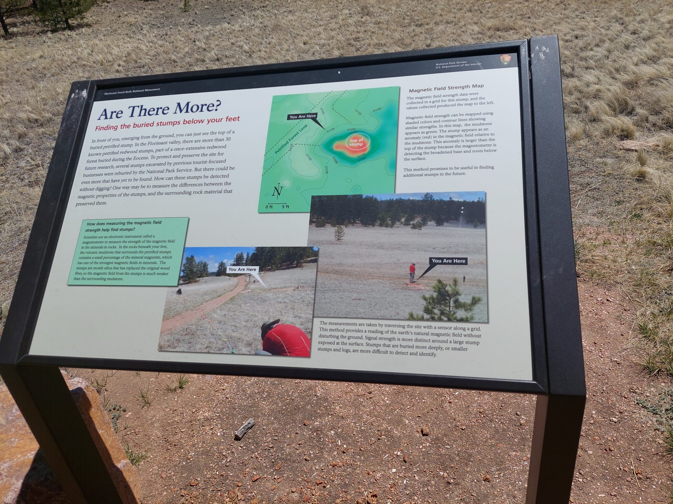
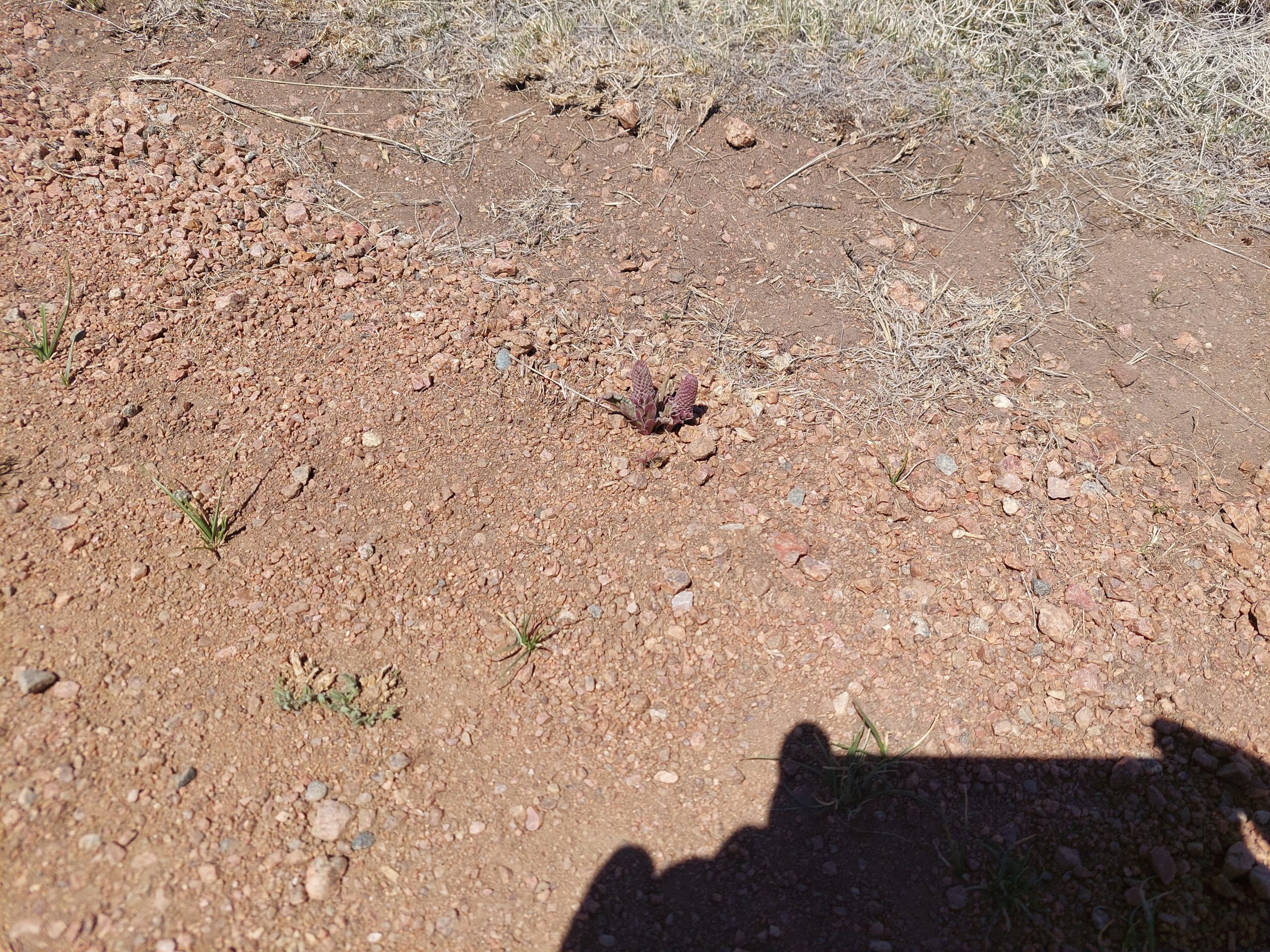
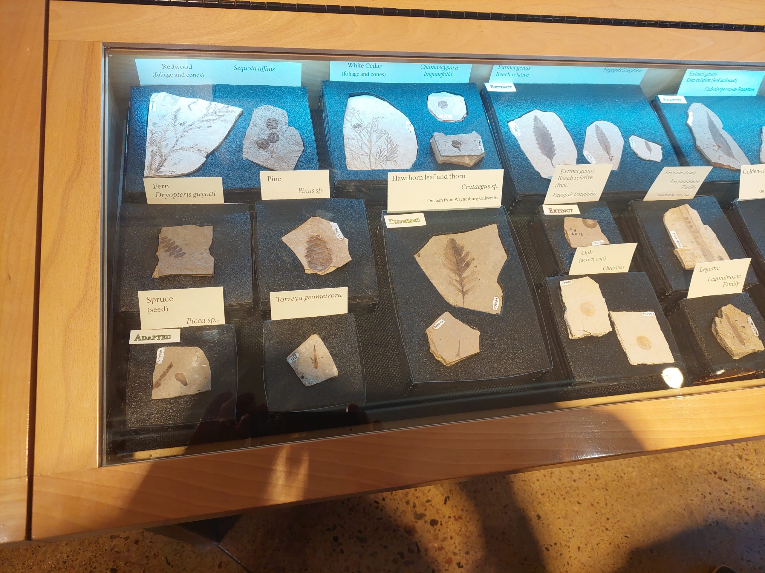
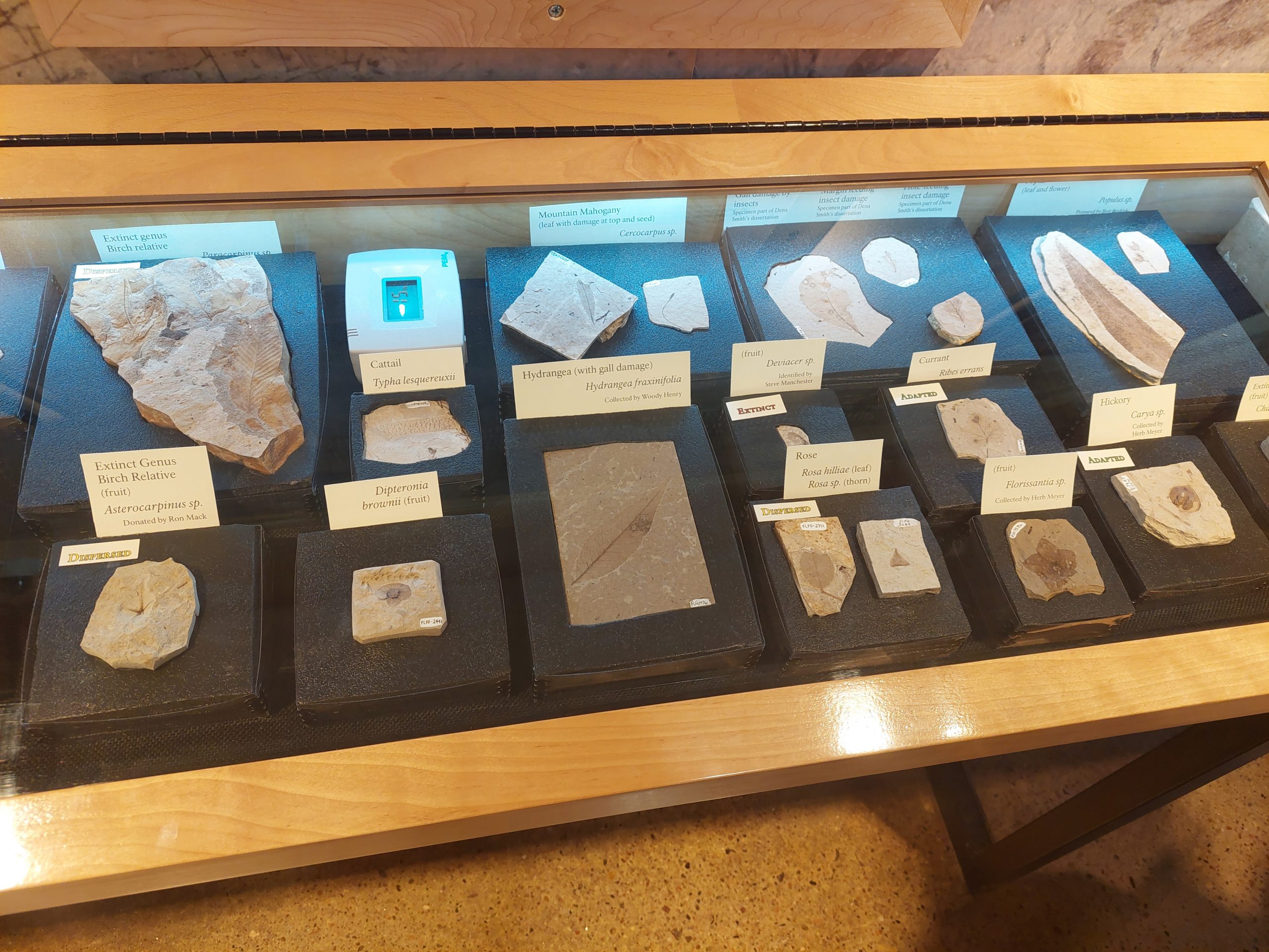
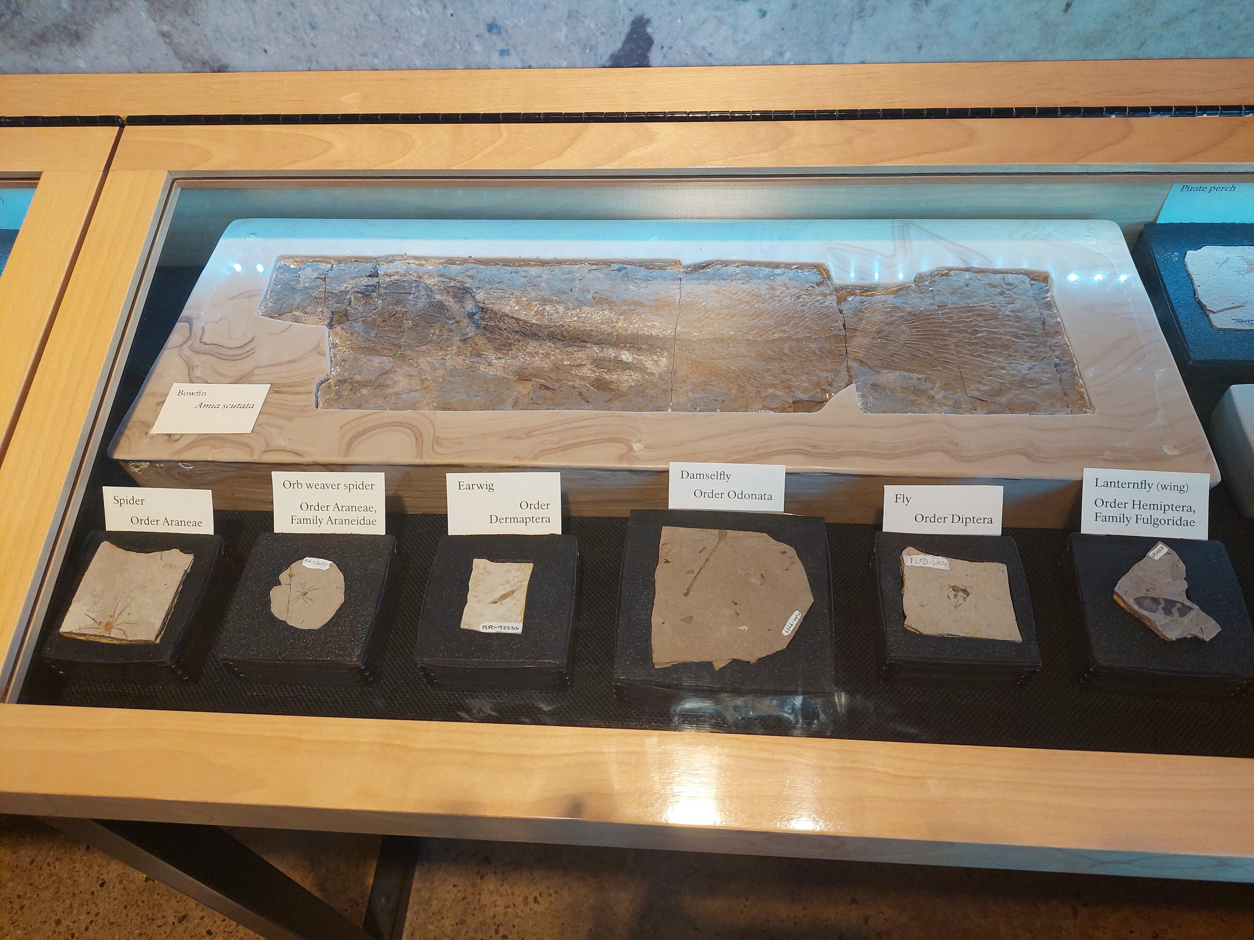
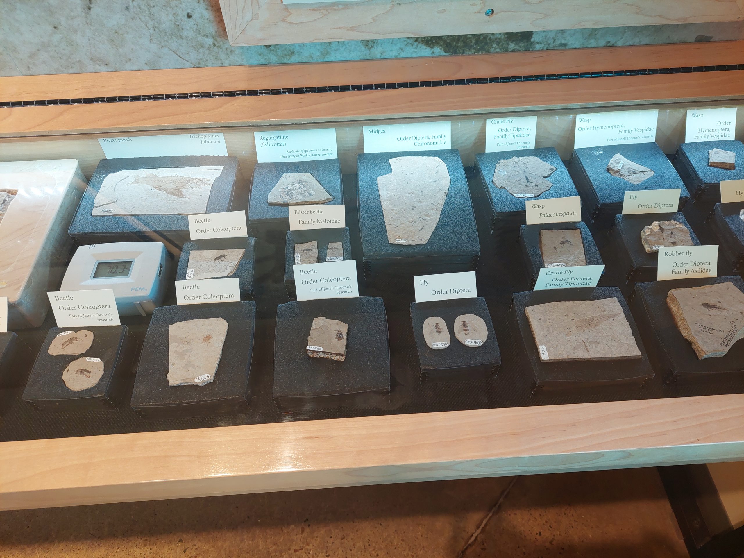
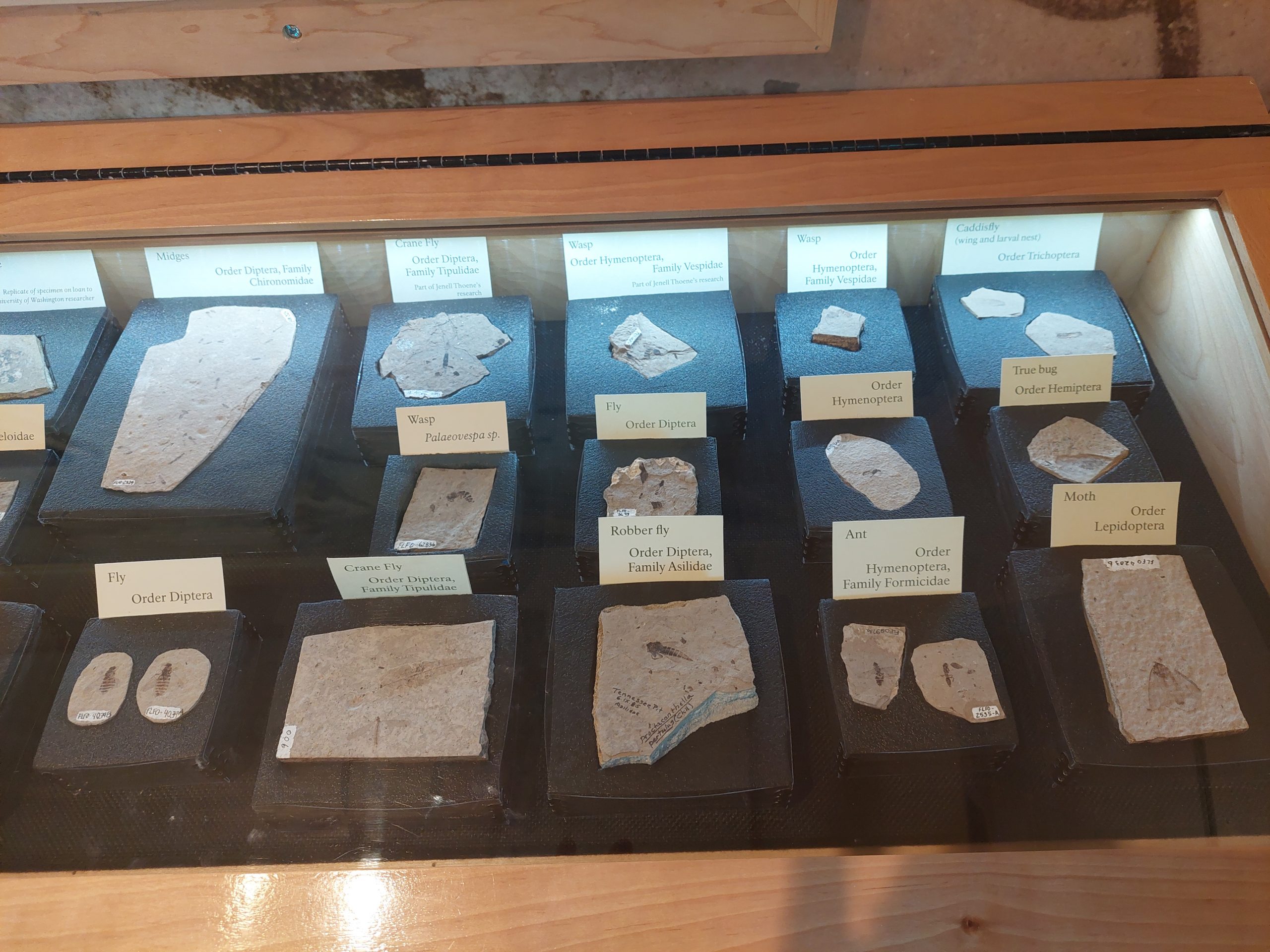
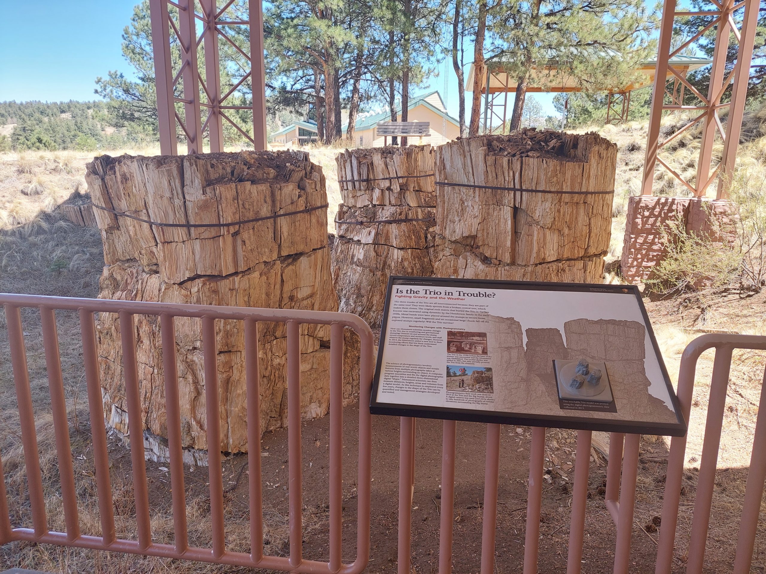
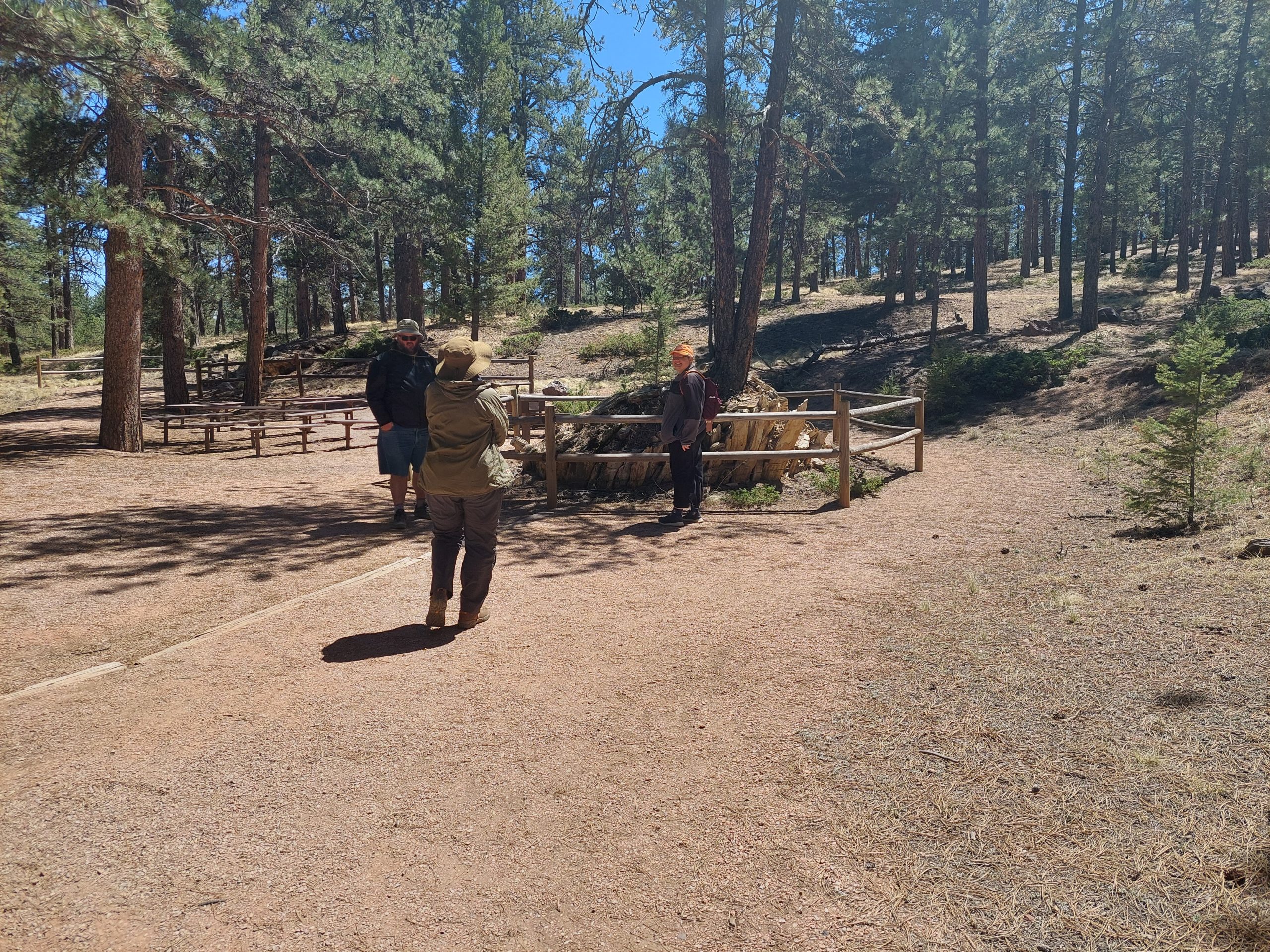
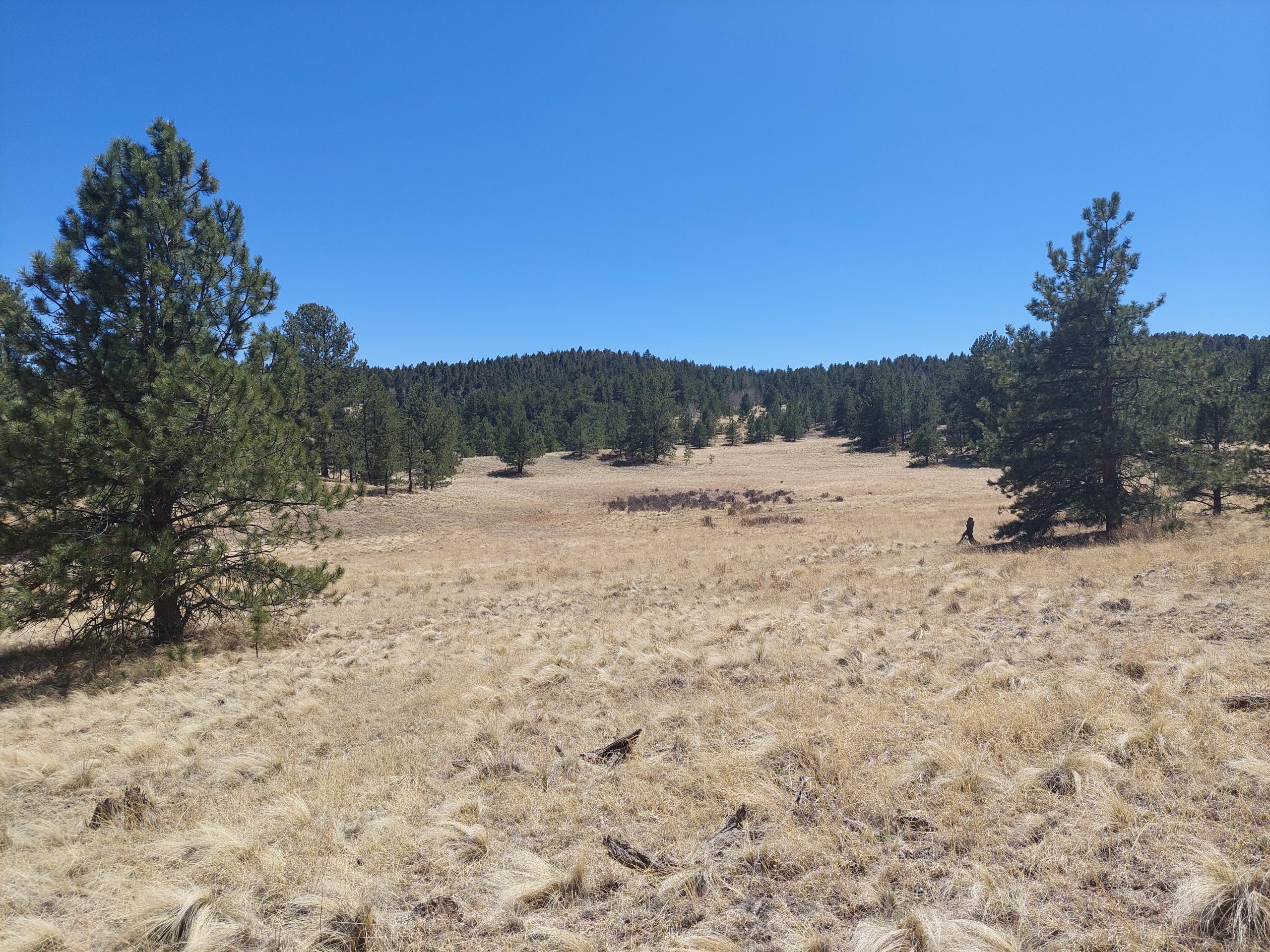
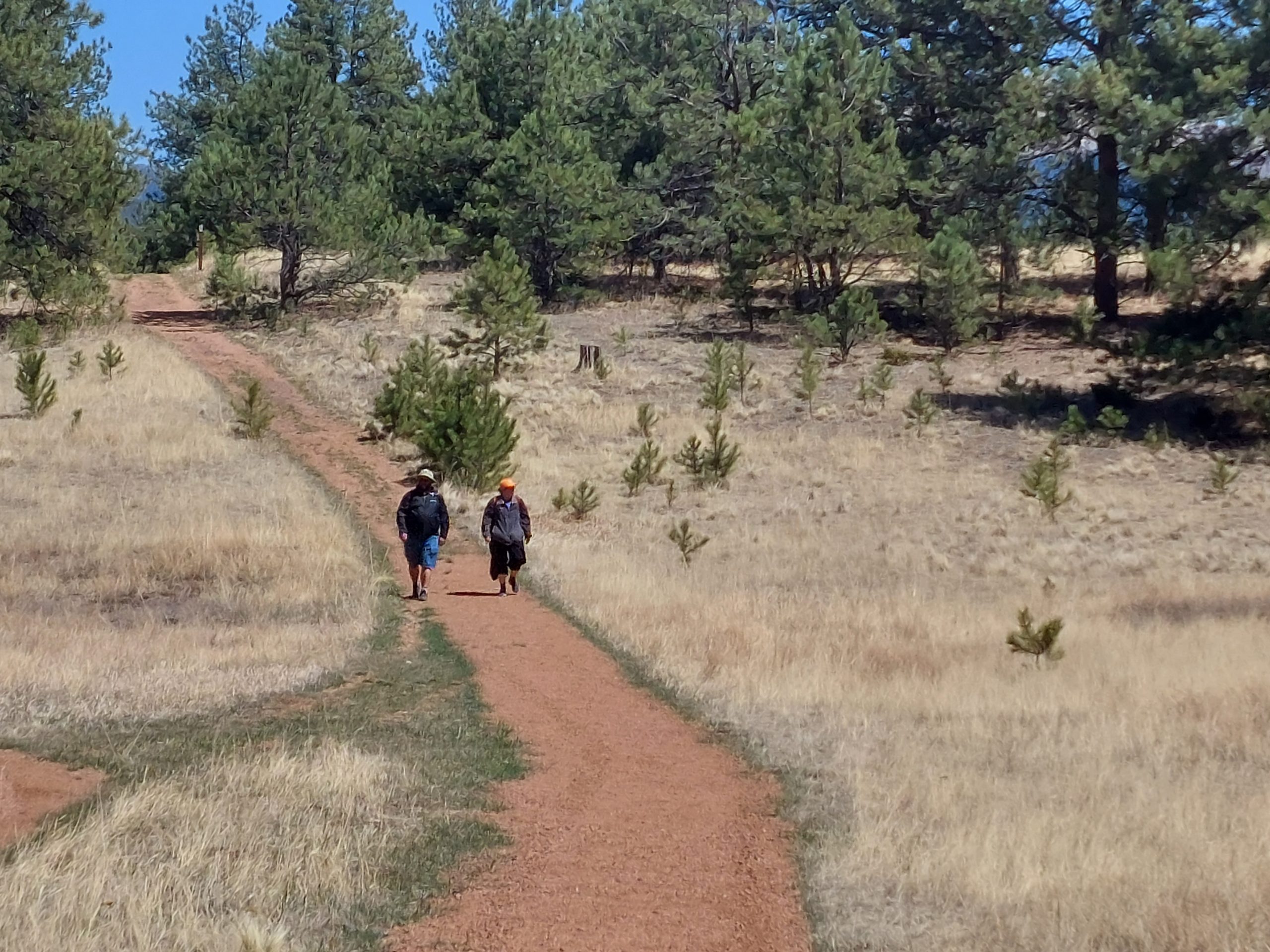
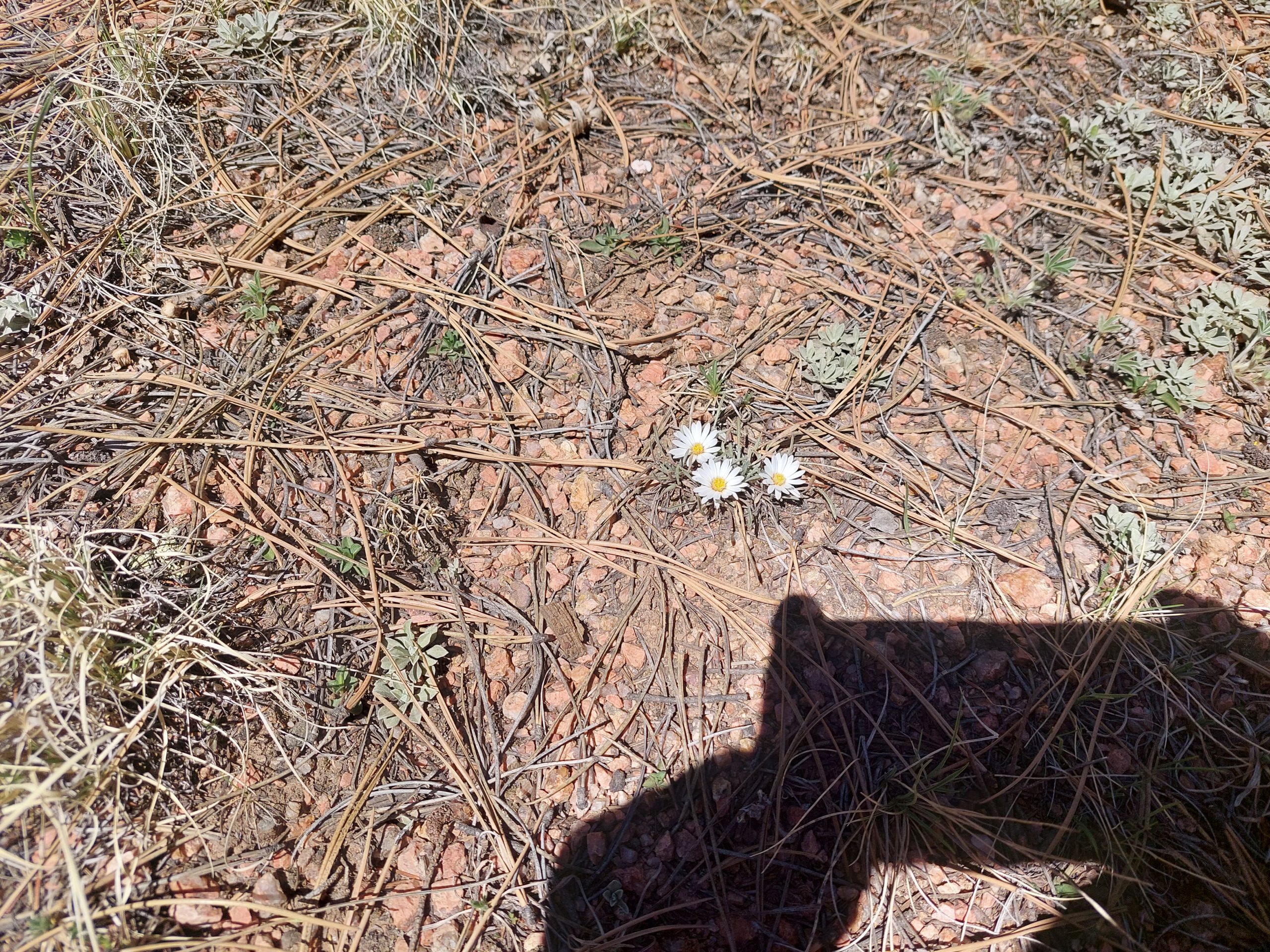
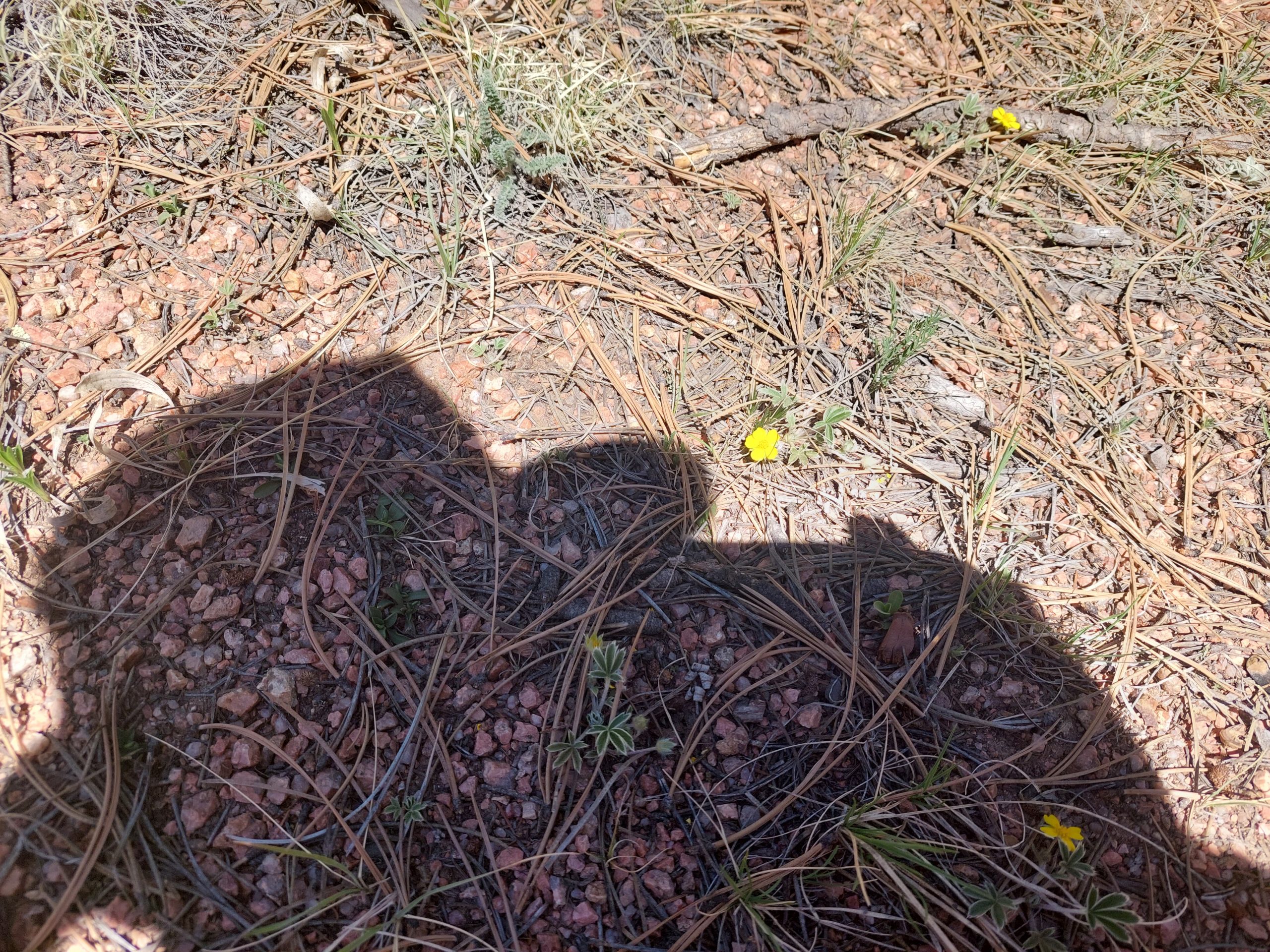
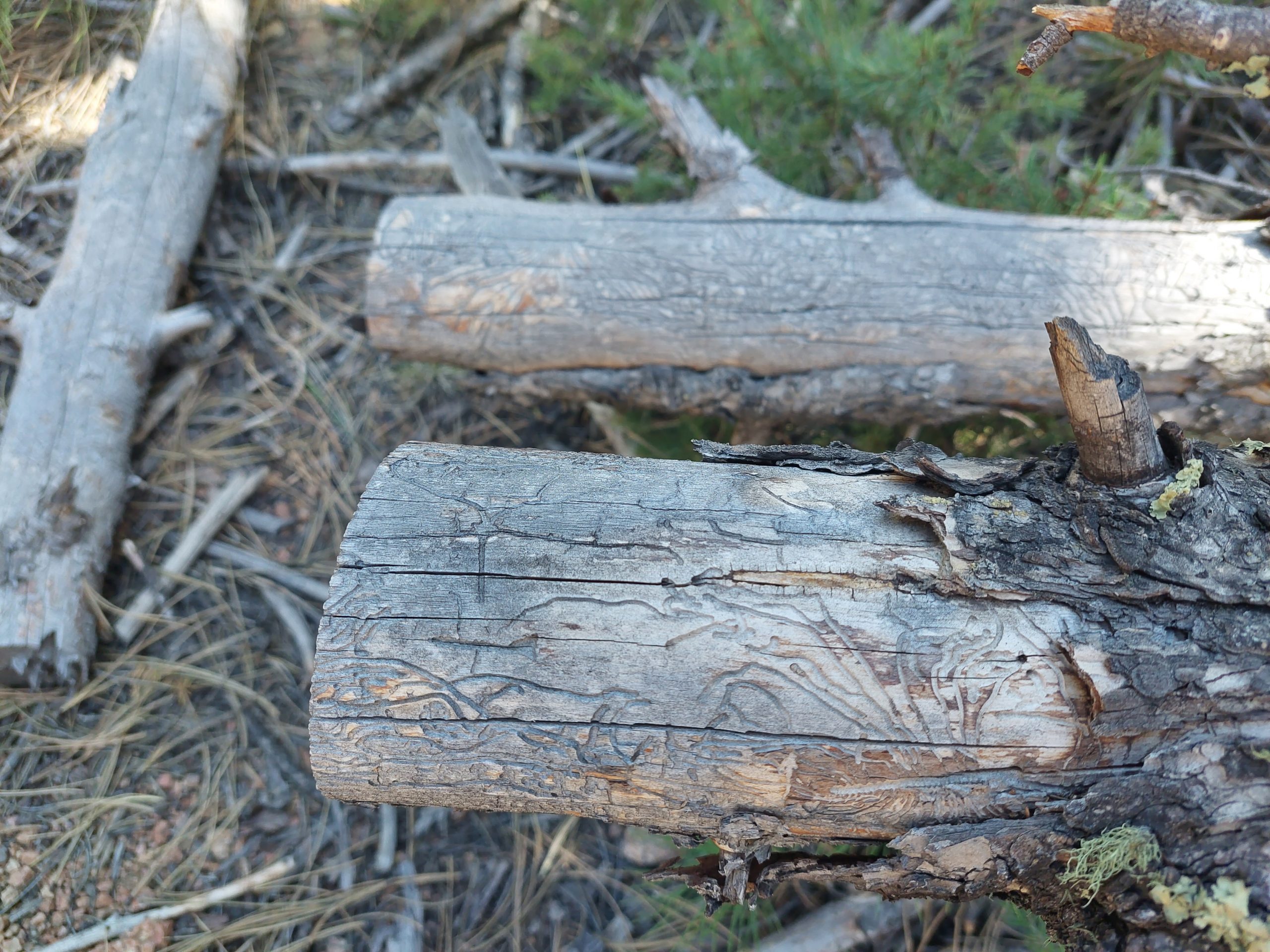
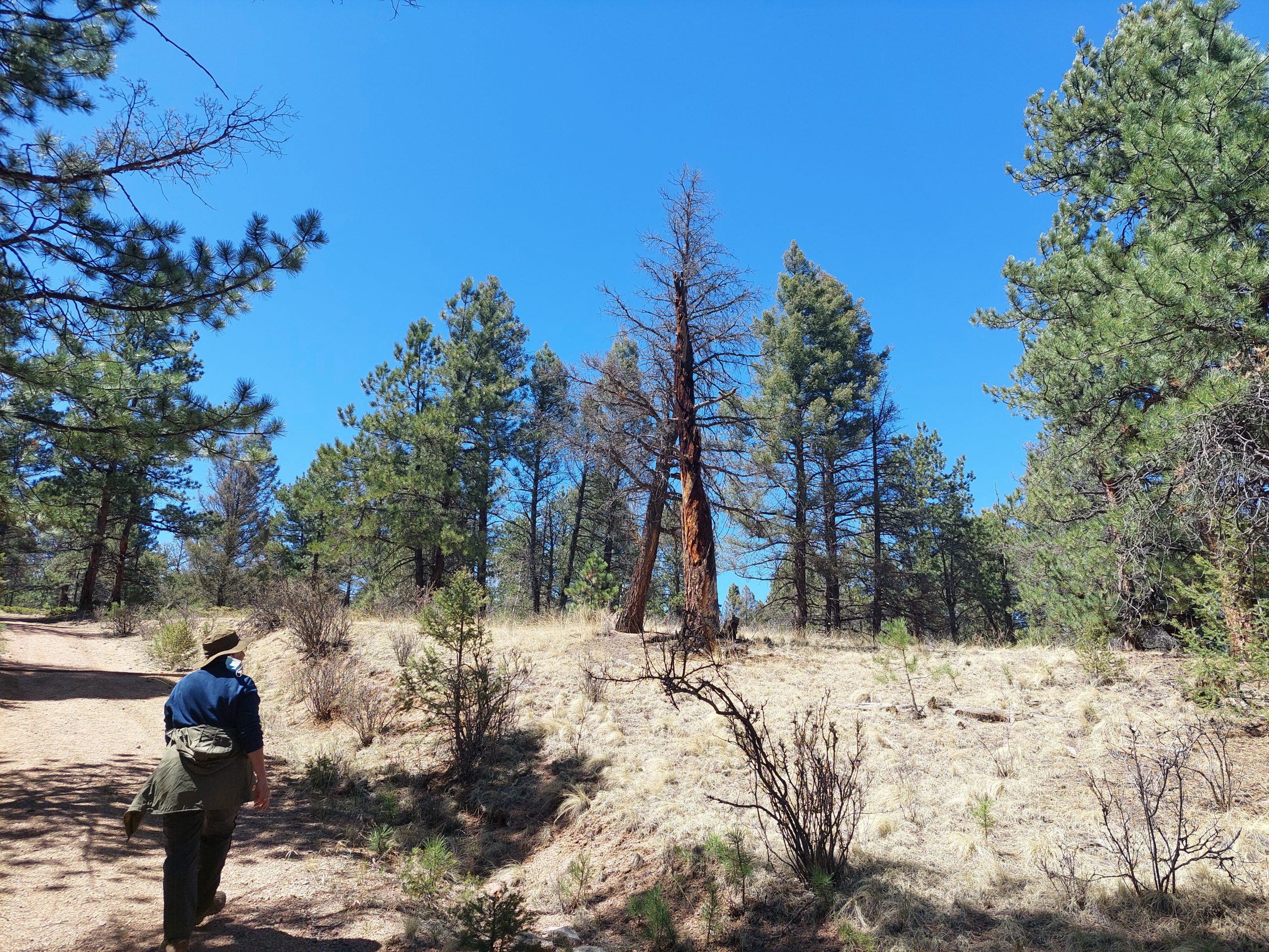
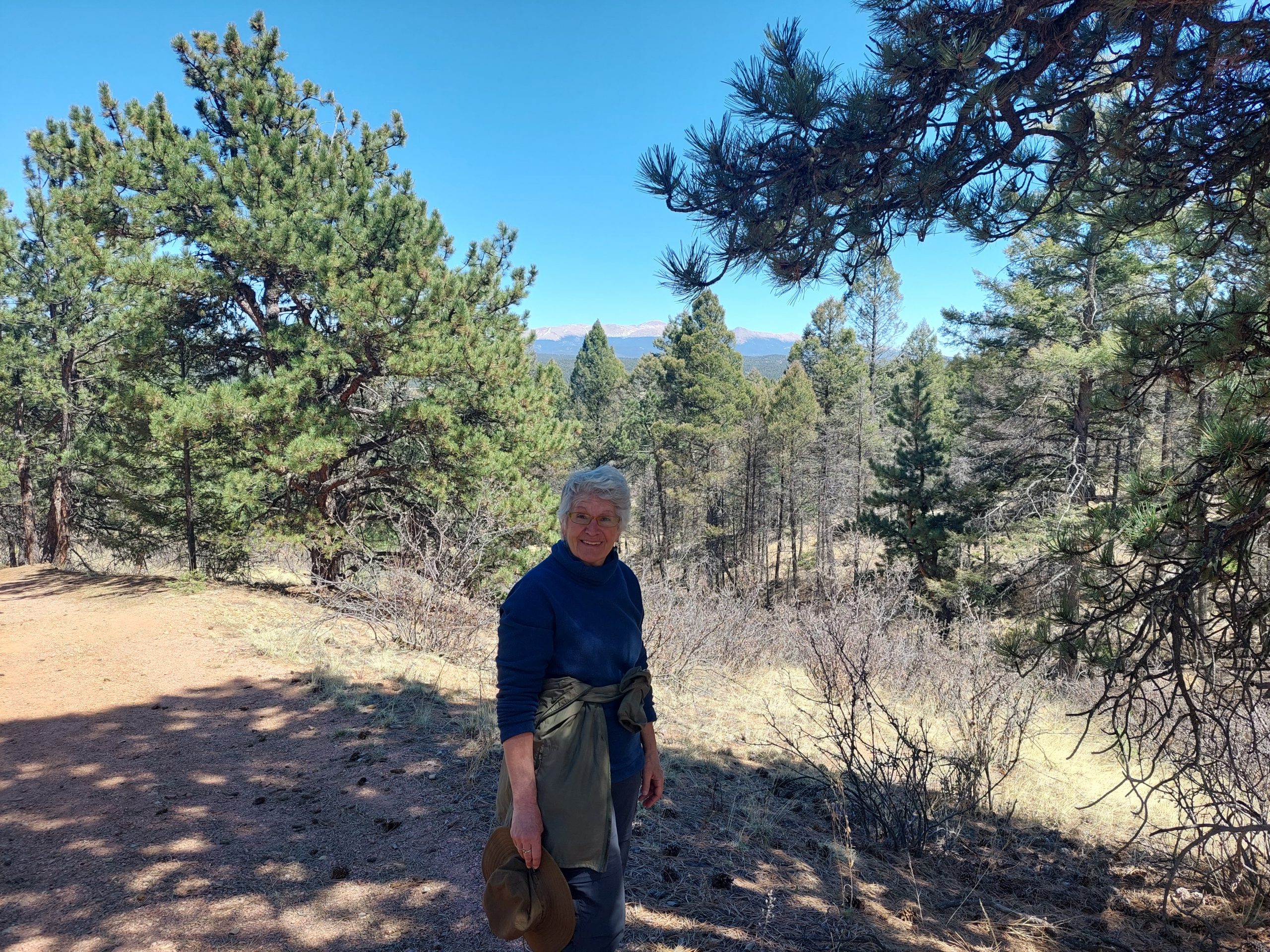
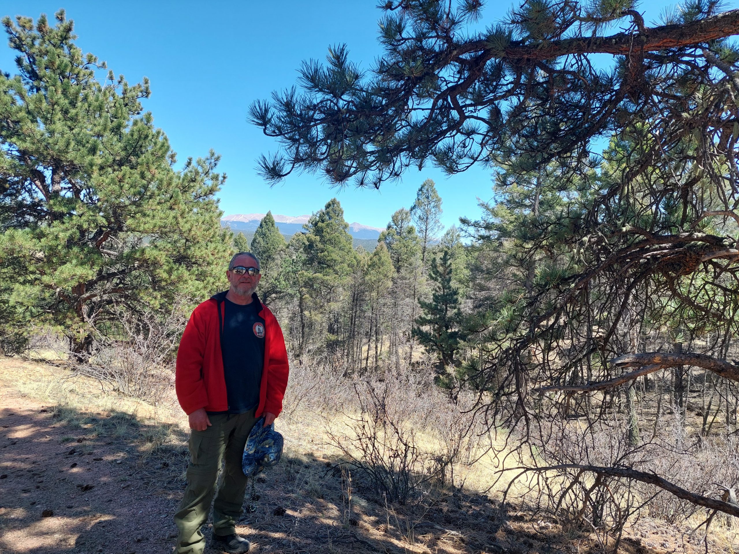
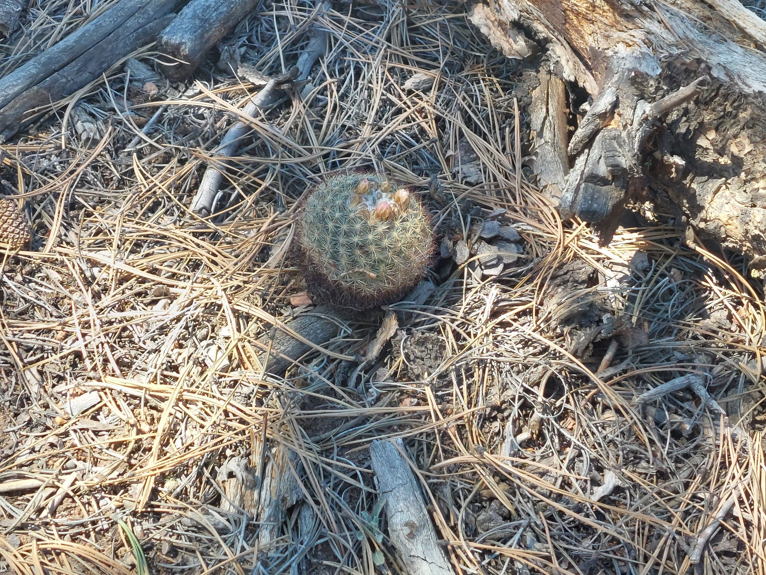
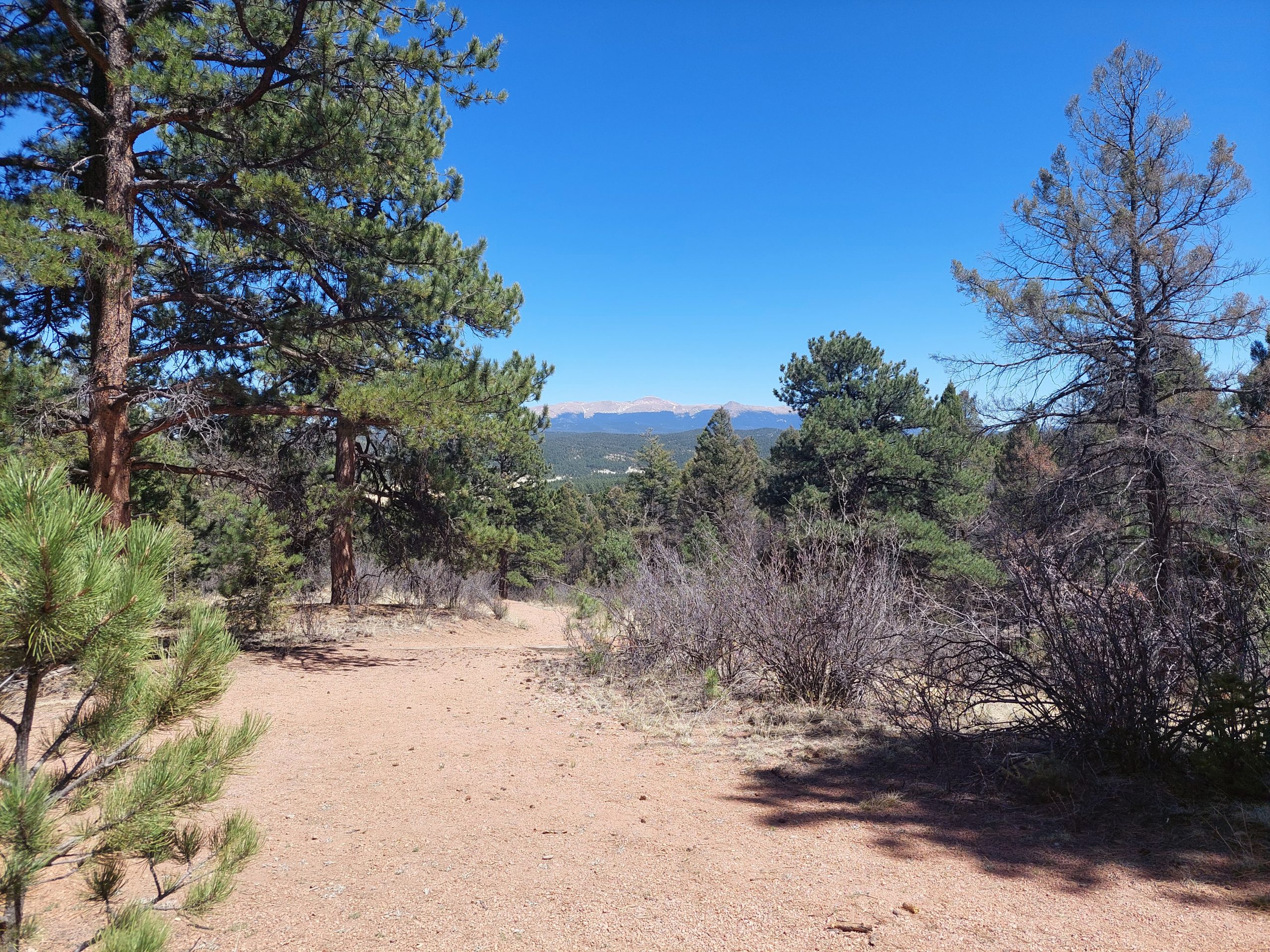
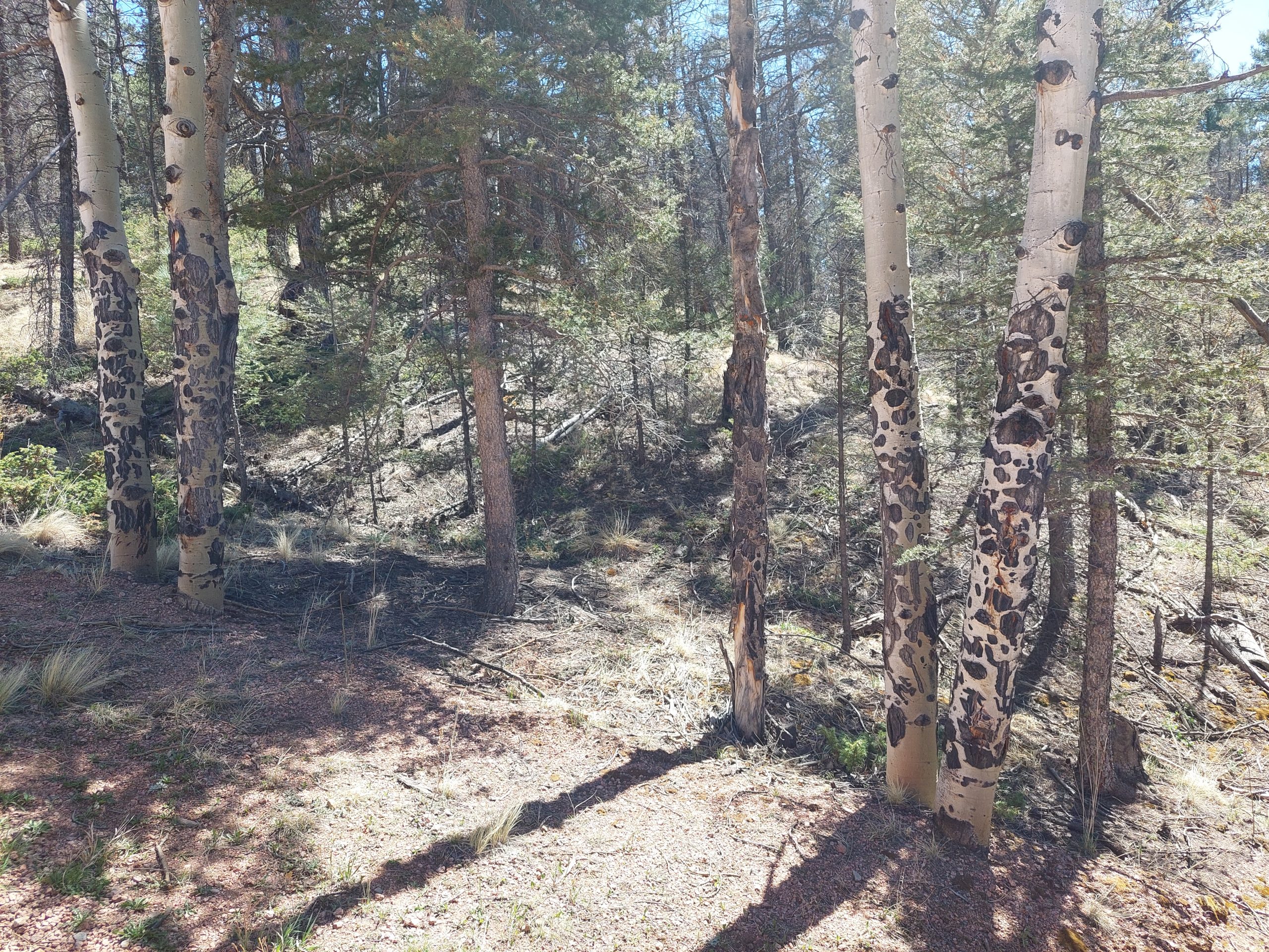
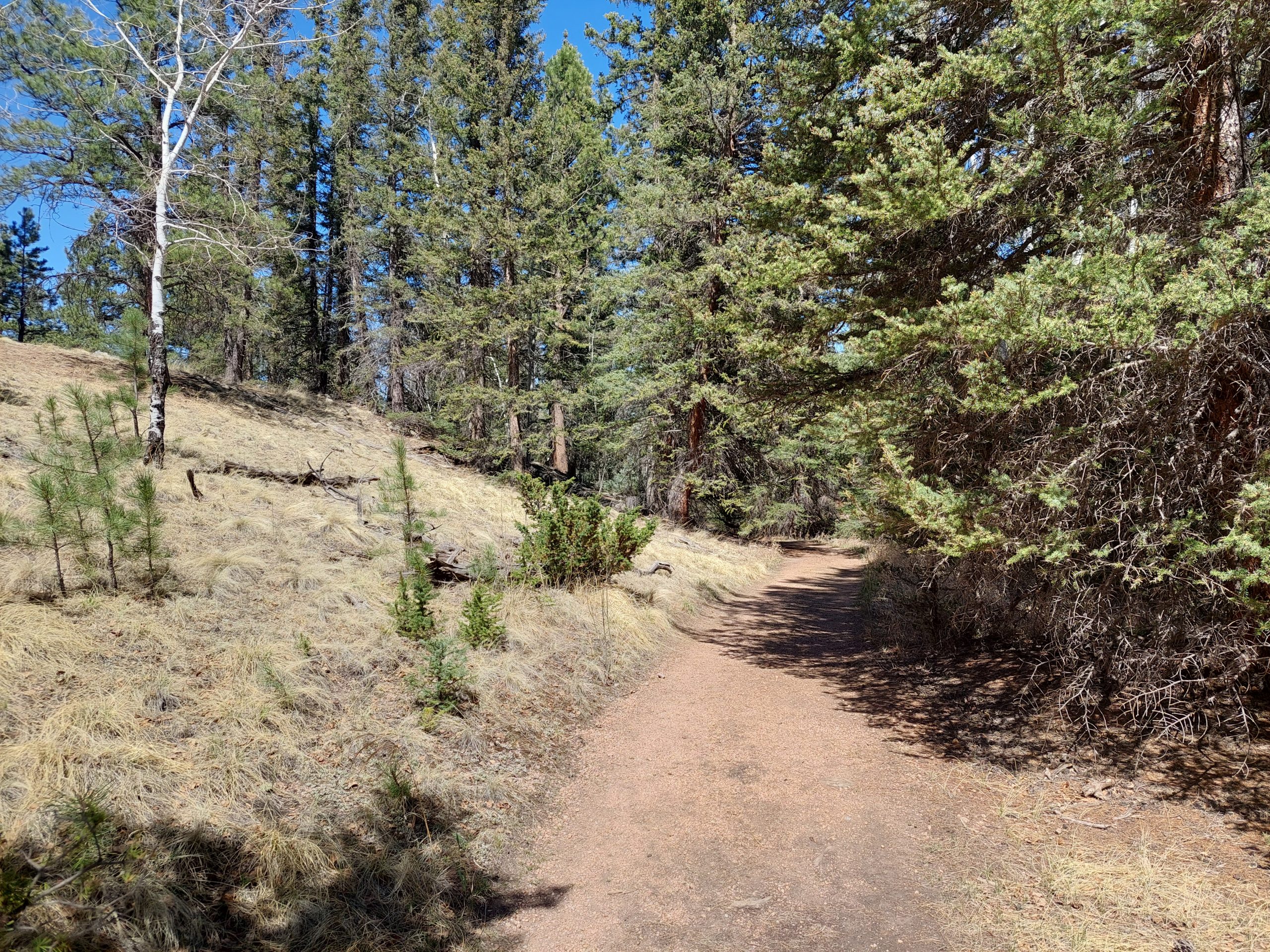
Our trip today was up into the mountains, out near Cripple Creek to the Florissant Fossil Beds National Monument. This was a place where, 34 million years ago, a lake/creek area was buried by volcanic activity — all these giant redwoods were buried to about 15 feet or so, and what was buried got fossilized while what was above rotted away. (All sorts of other plants, as well as fish, insects, and small mammals, were fossilized as well.) Fast forward to about 50 years ago, and this area was saved from development and the national monument was born…
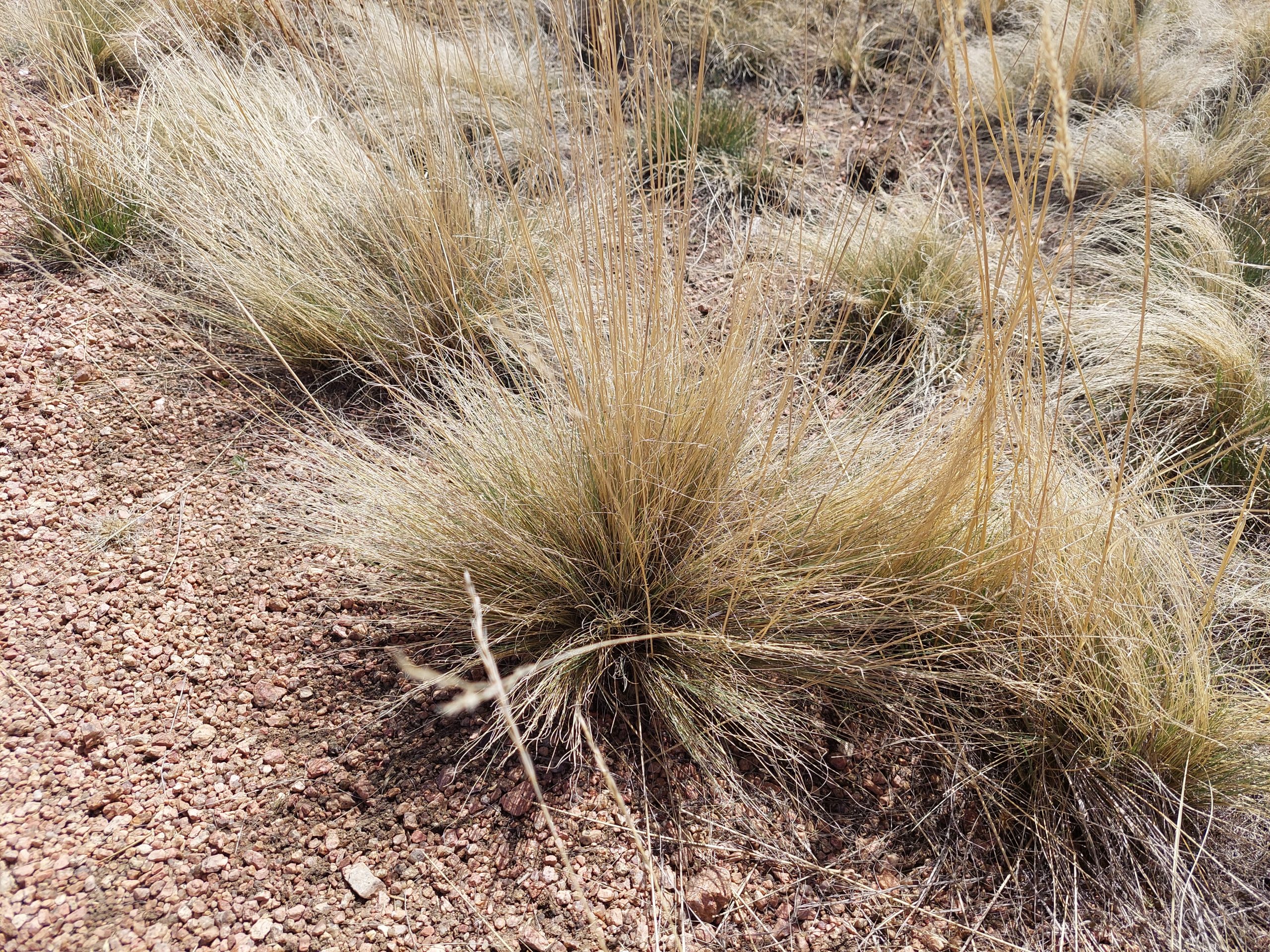
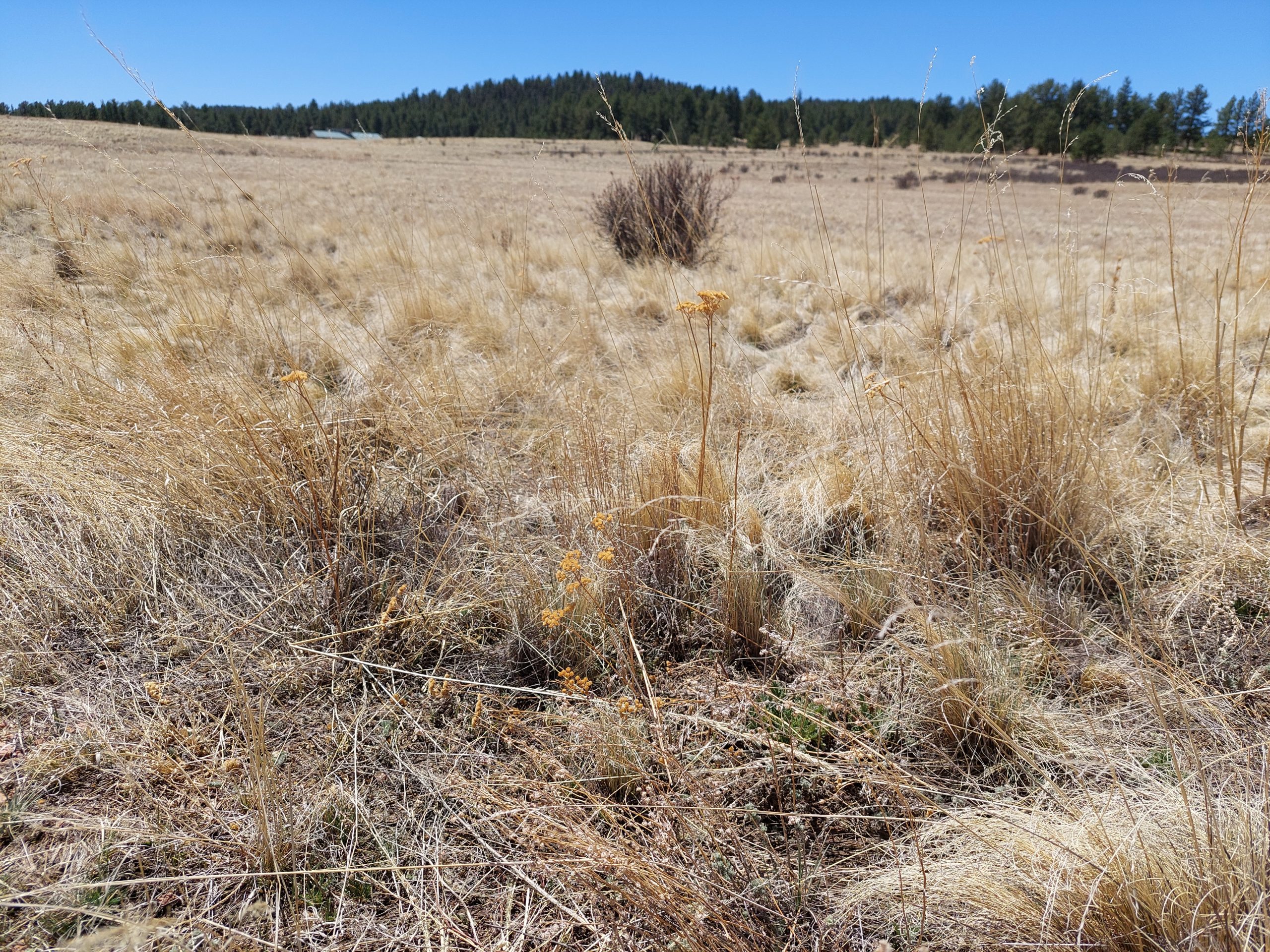
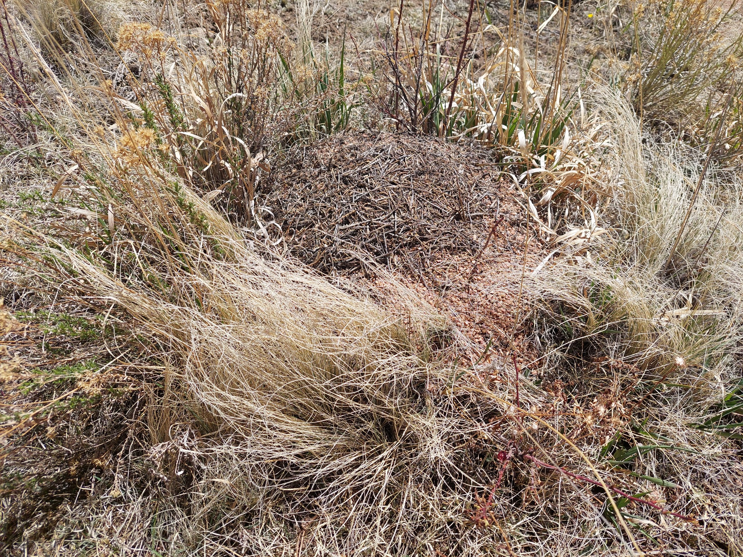
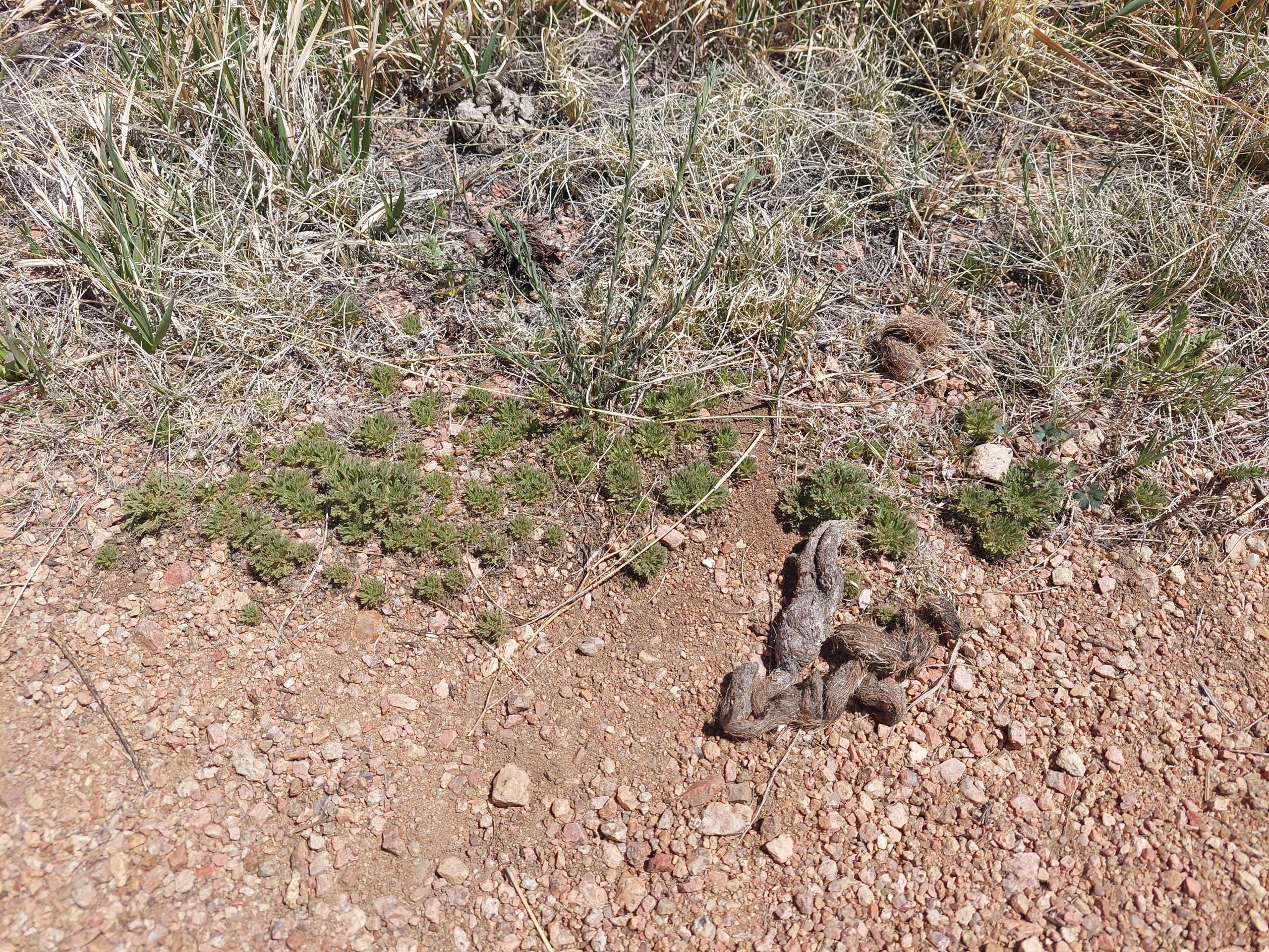
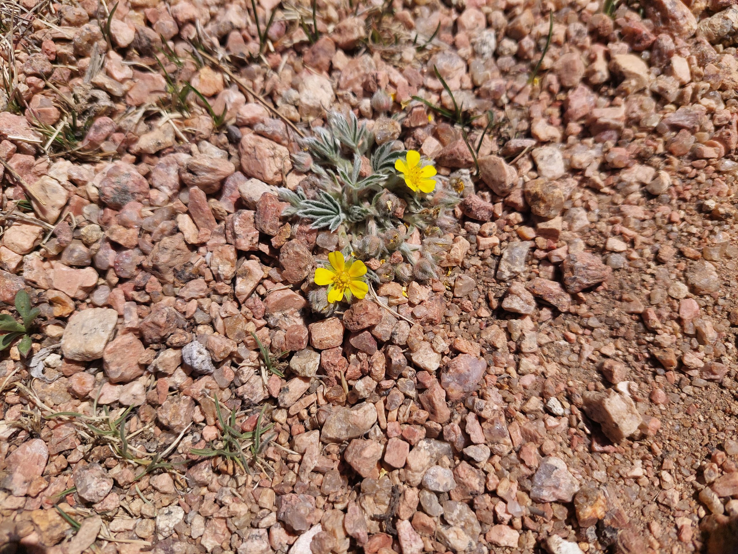
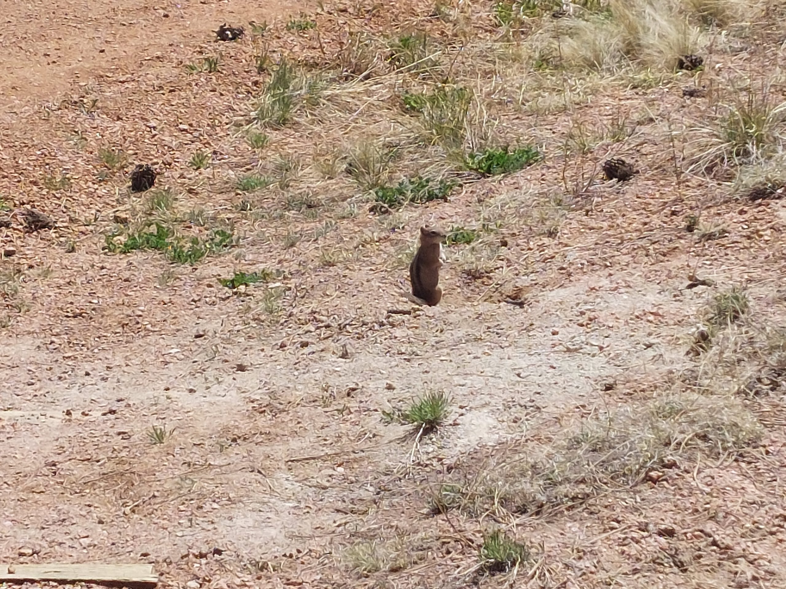
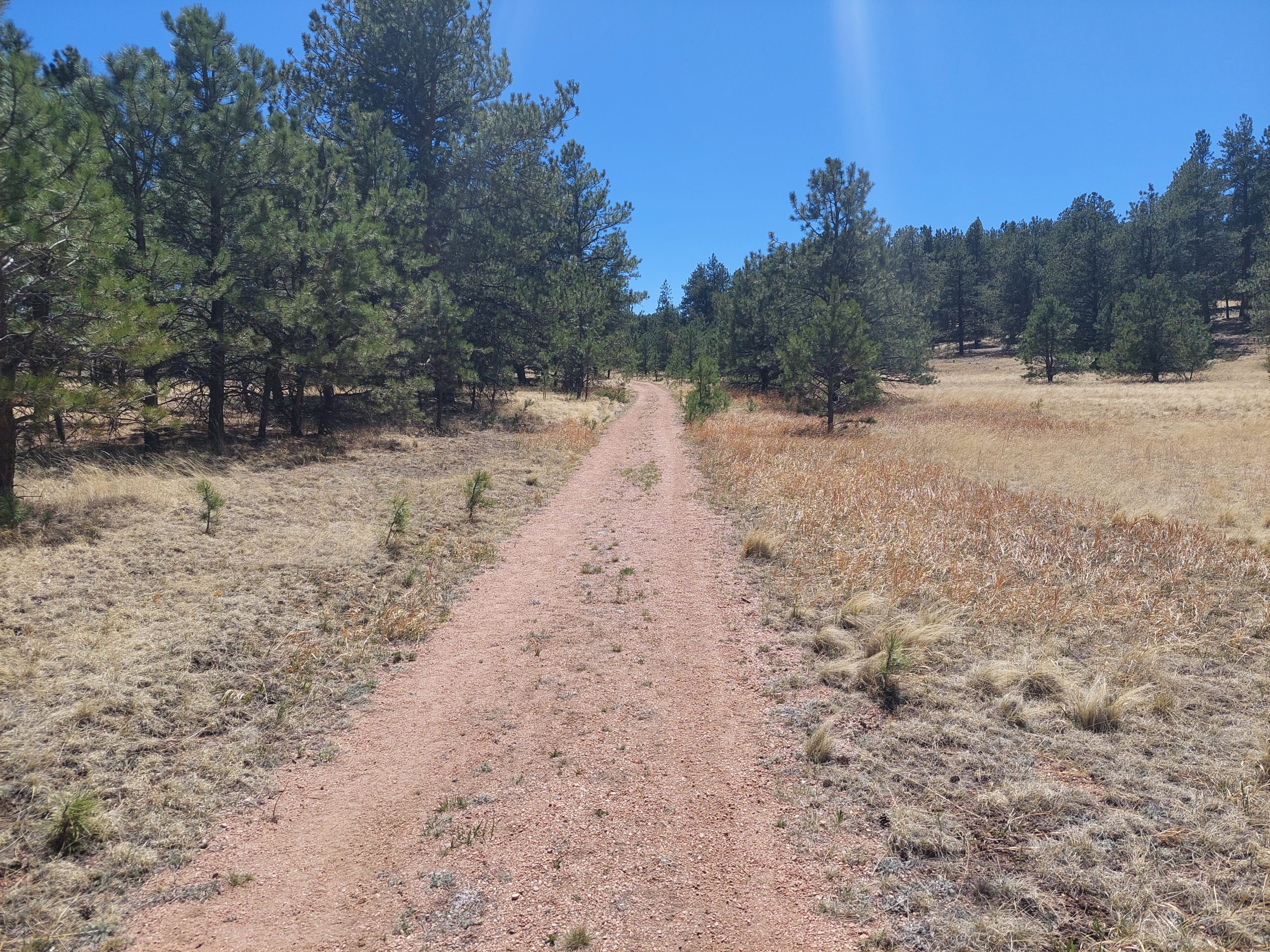
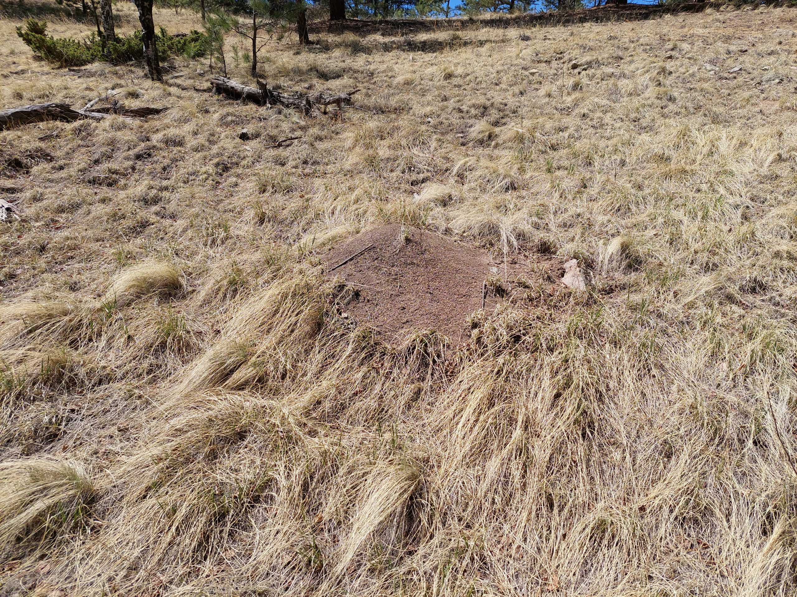
OverviewPike’s Peak From The RearFossil Weathering ResearchFossil Redwood StumpFossil Redwood StumpFossil Redwood StumpsFossil Redwood StumpThe Back Of Pike’s PeakAnneThe Big StumpSemi-Arid PlantFossil Redwood StumpAcross the FieldThe largest Fossil Stump, MaybeGround Squirrel HolesPasque FlowerHow To Find StumpsDesert FlowerAnt Hill (Thatching Ants)Fossil PlantsFossil PlantsFossil Fish And InsectsFossil InsectsFossil InsectsThree Connected Redwood Stump FissilsKyle, Anne And EmmiPredator (Coyote? Bobcat?)ScatTiny WildflowersGround SquirrelSawmill TrailHigh PlainsKyle & EmmiWildflowersWildflowersInsect DamageAnne And Burnt TreeAnneMeDesert Ball CactusPike’s Peak From Sawmill TrailElk Damage To BarkSawmill TrailAnt Hill (Harvester Ants)
This was a really fun and spectacularly beautiful way to spend the day, and afterward we stopped for a late lunch on the way home.
This is our last night in Colorado Springs; tomorrow we head back up to Denver for the final leg of our trip.
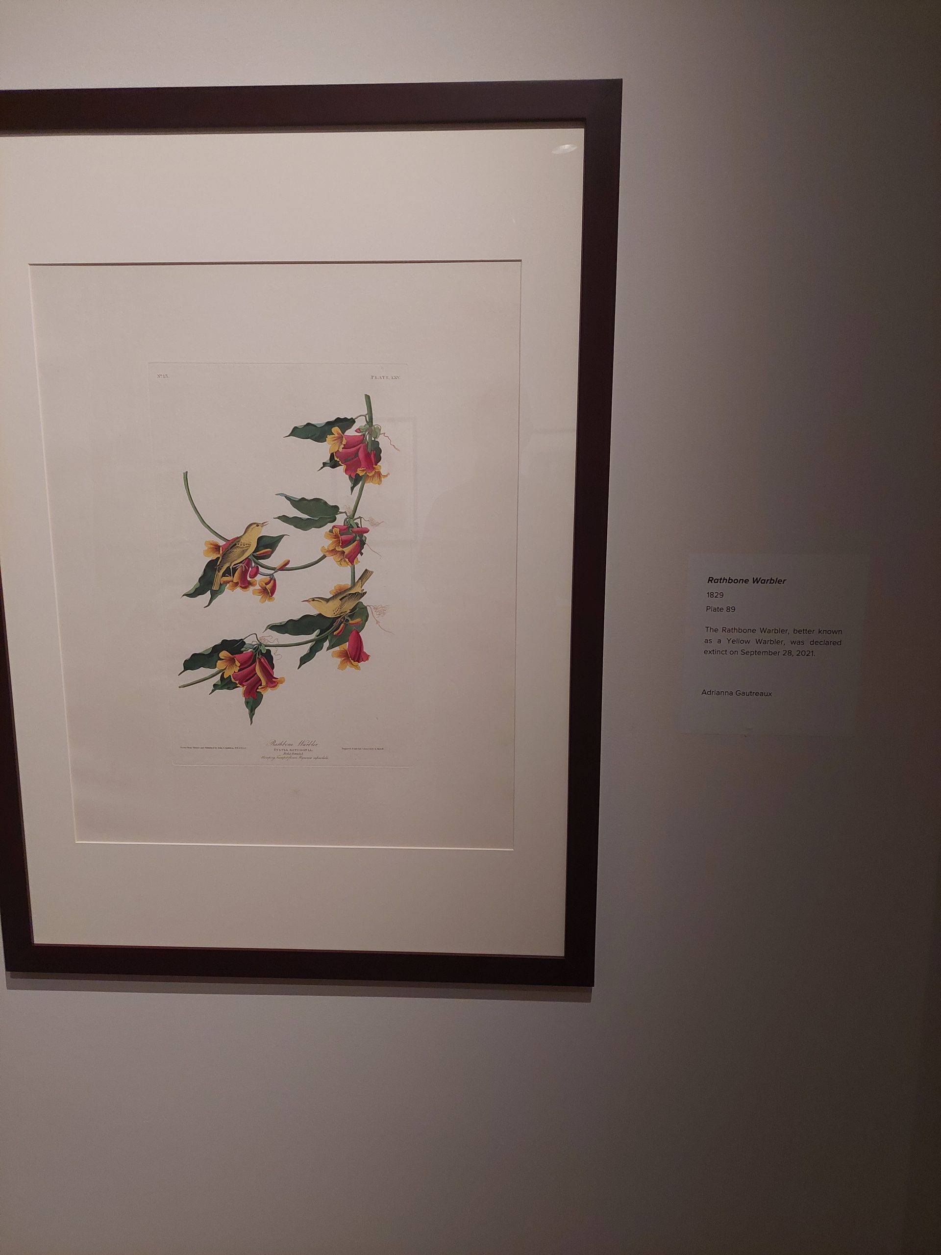
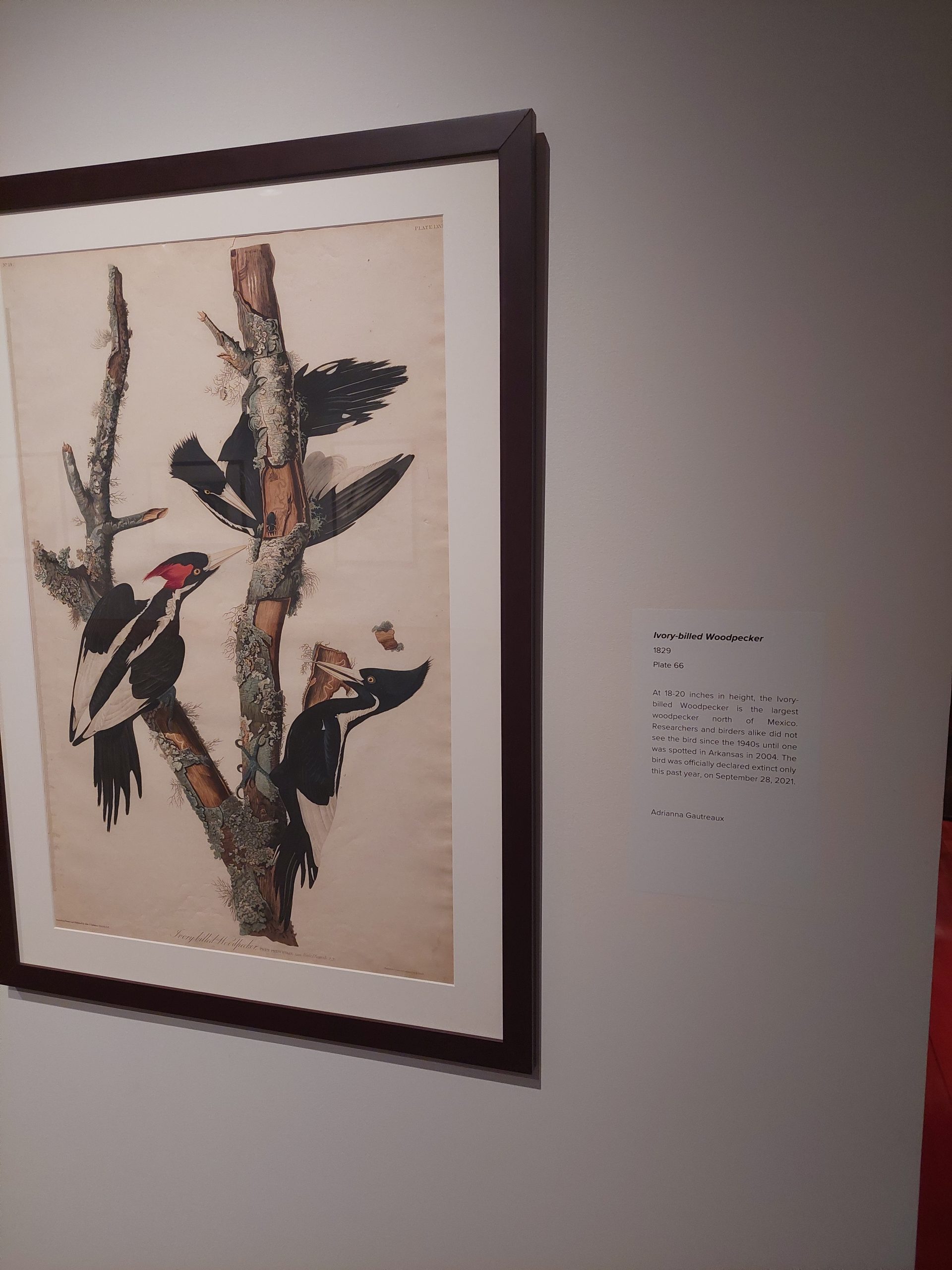
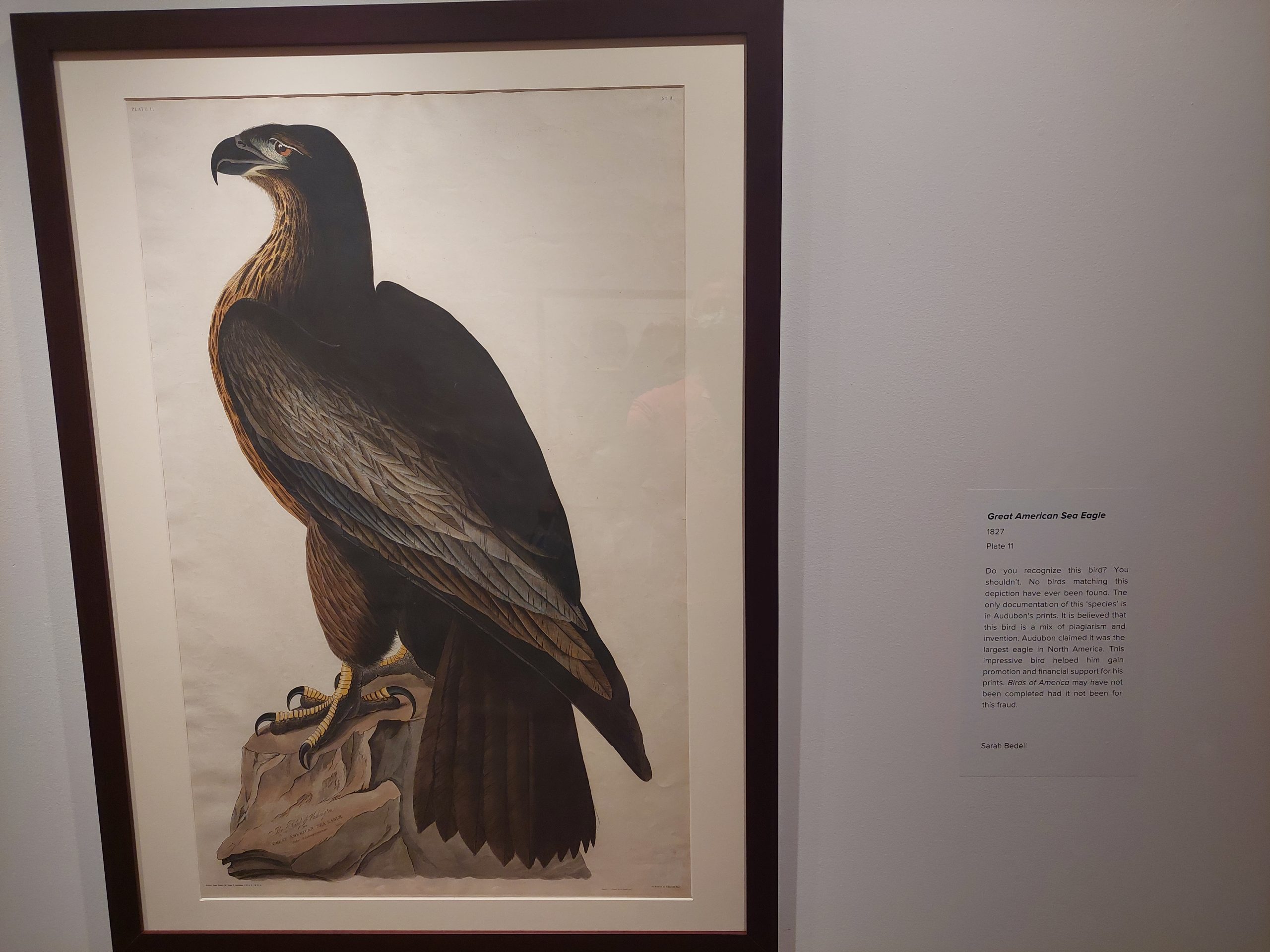
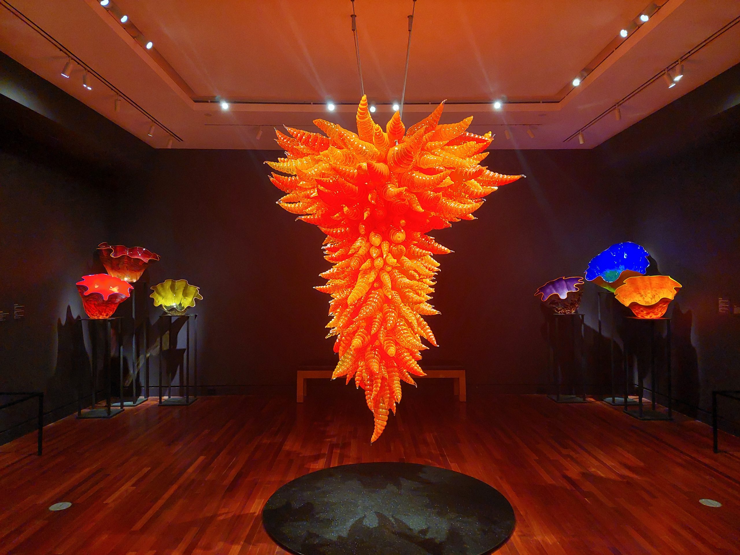
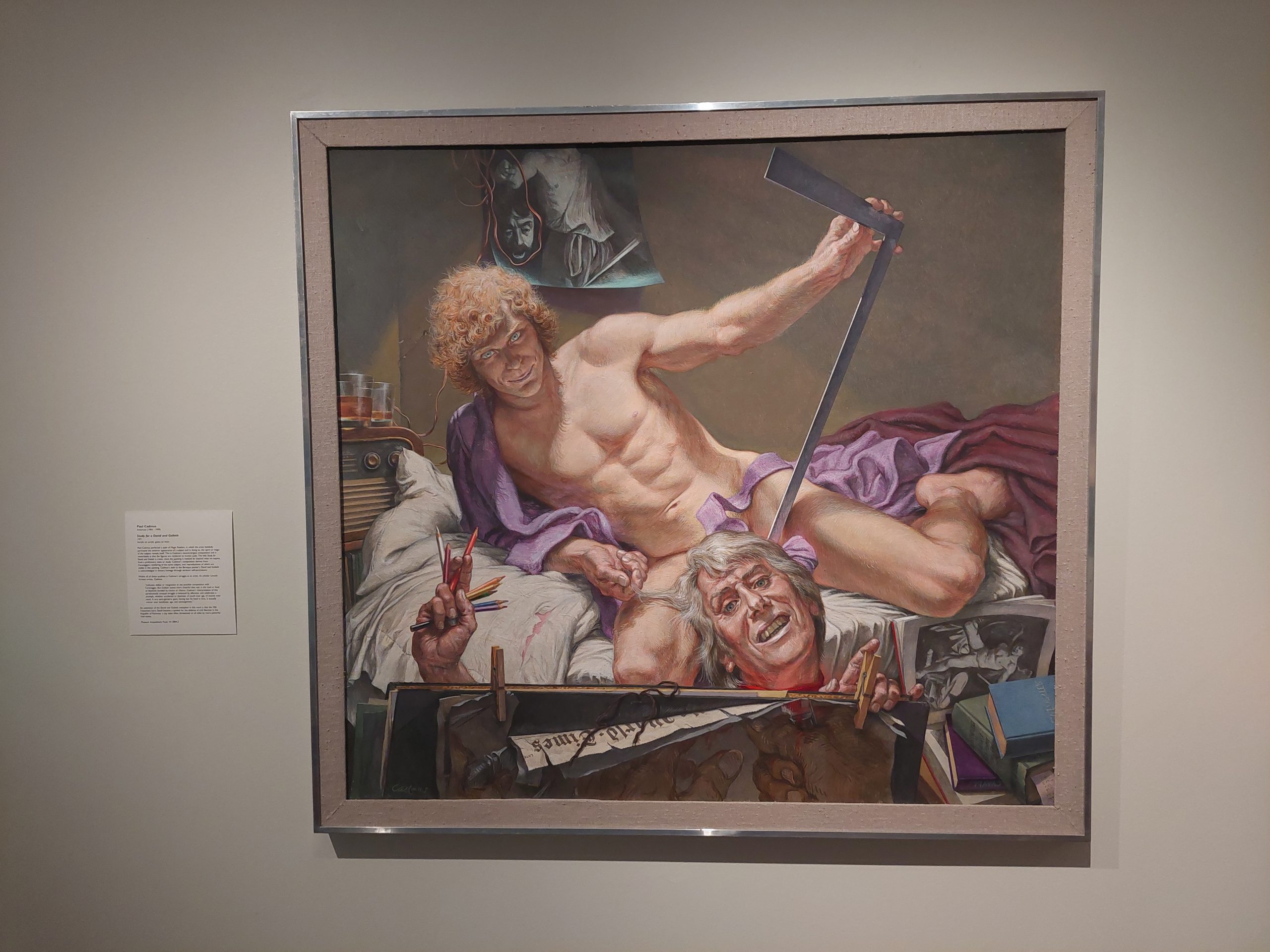
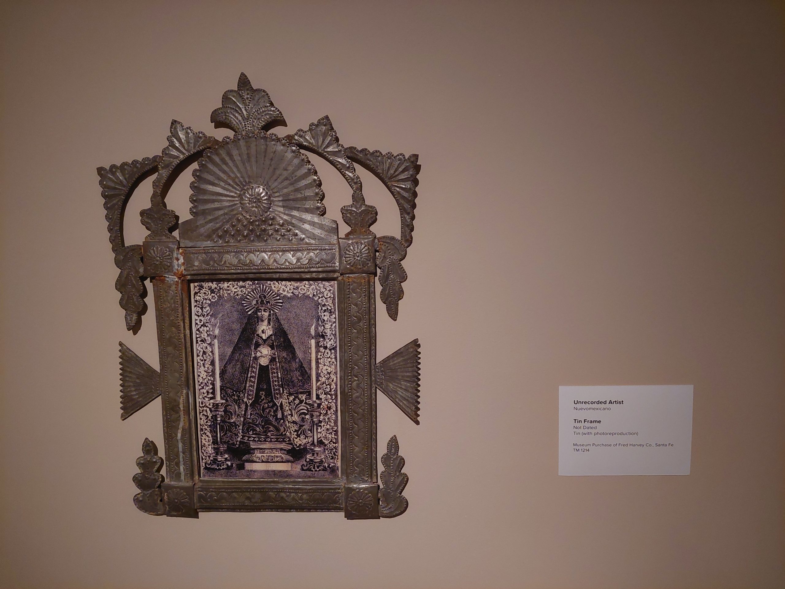
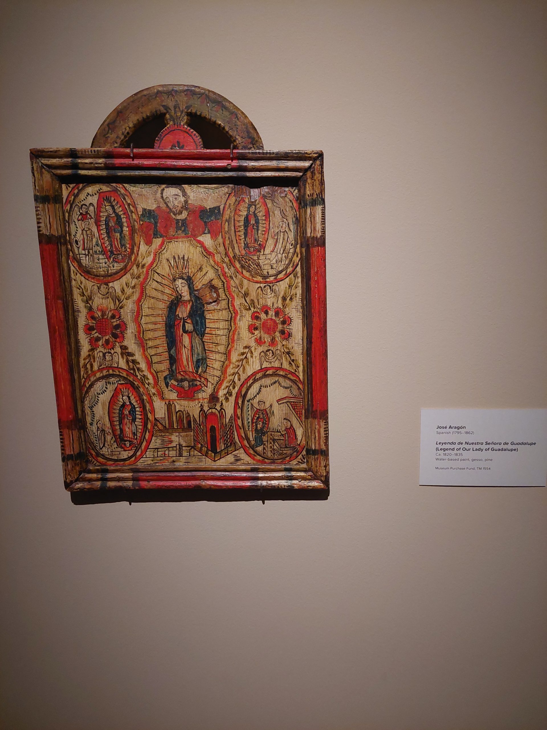
It was a bit warm yesterday so we decided to do some indoor exploration: we went downtown to the arts/historic district (Old Colorado City), got some lunch, and then visited the Colorado Springs Fine Arts Center at Colorado College. They had several exhibits going on, including one reexamining John James Audobon and his prints, and one room filled with Chihuly works.
Audobon’s Yellow WarblerAudobon’s Ivory-billed WoodpeckerAudobon’s (imaginary) Sea EagleChihuly ExhibitStudy For A David & Goliath, Very Clockwork OrangeUndated Tin FrameLegend of Our Lady Of Guadaloupe
We finished our day with a visit to a coffee-shop/bookstore, where we all ended up getting several books.
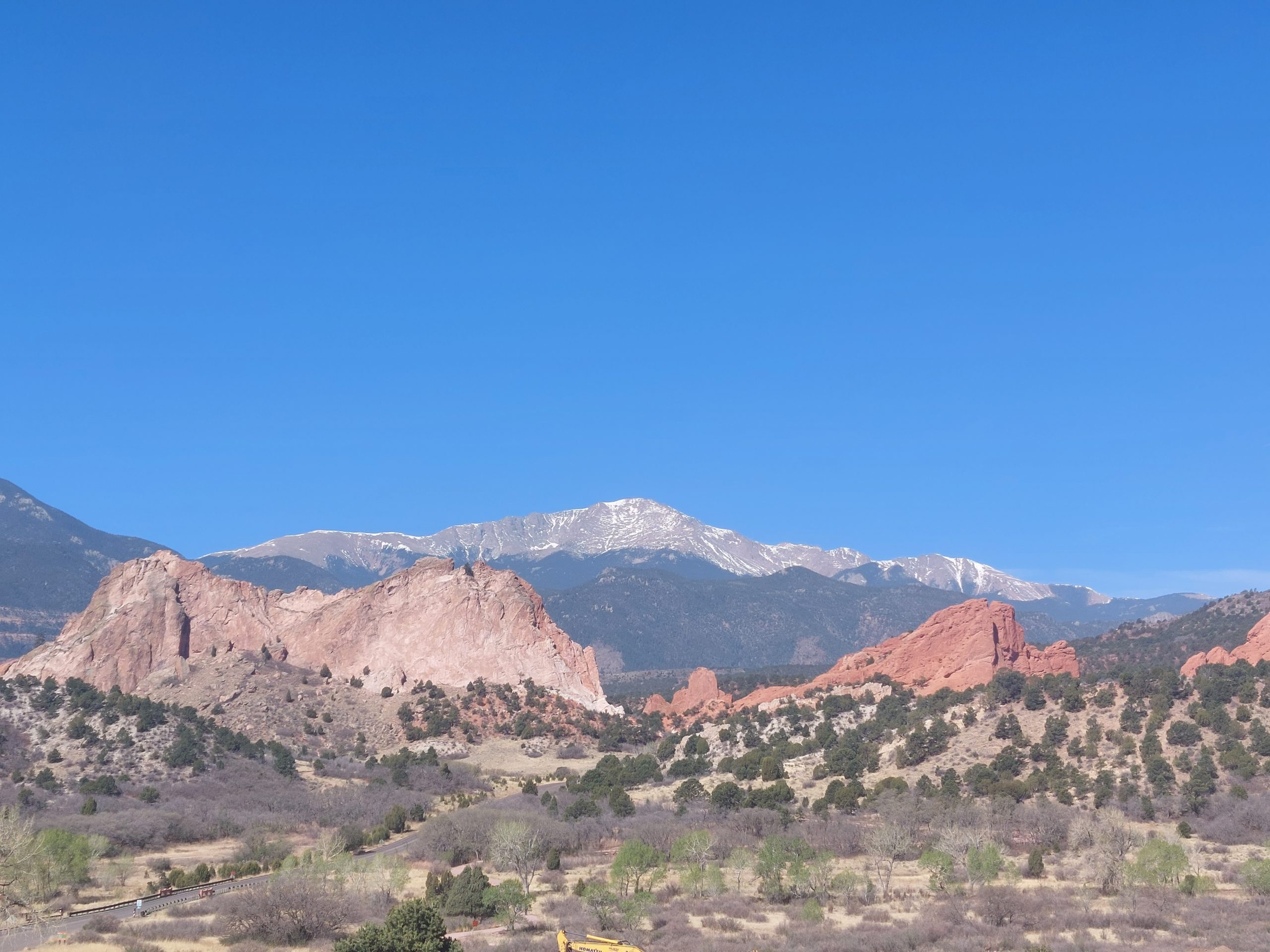
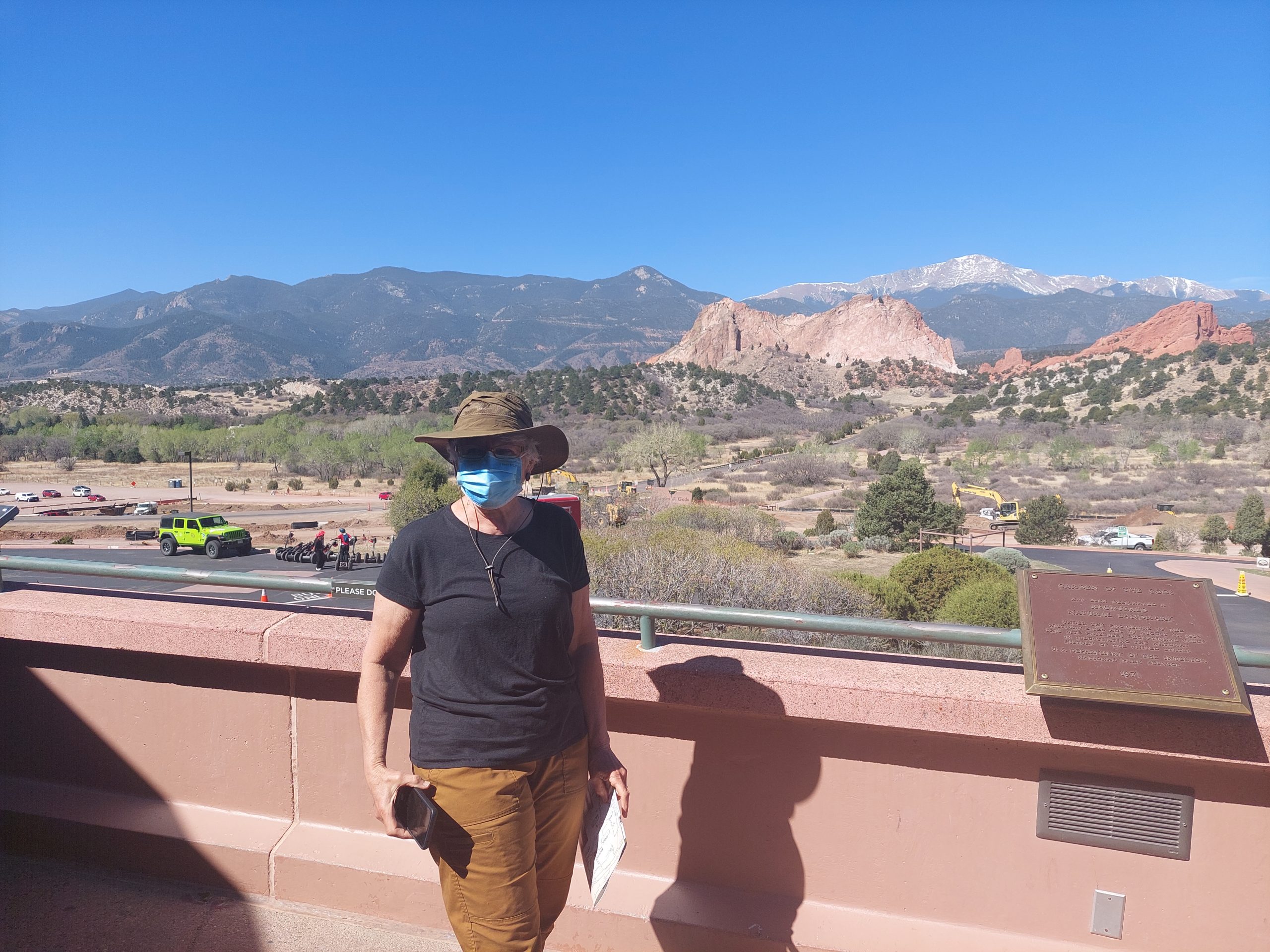
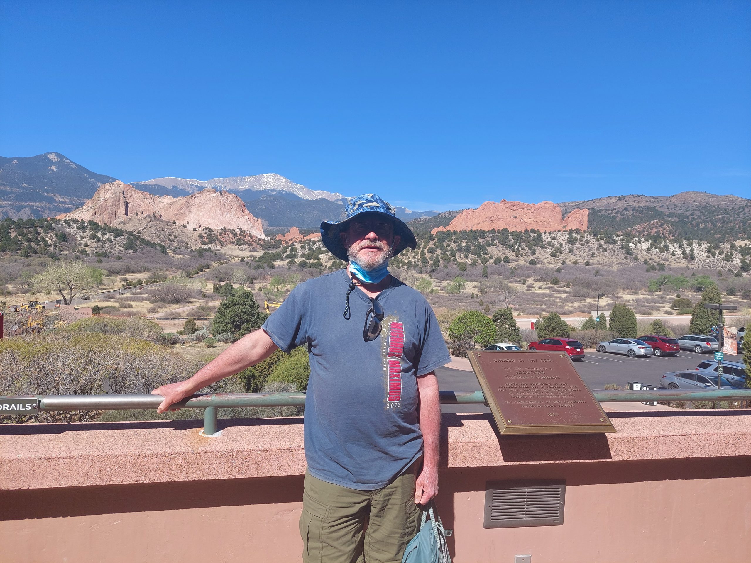
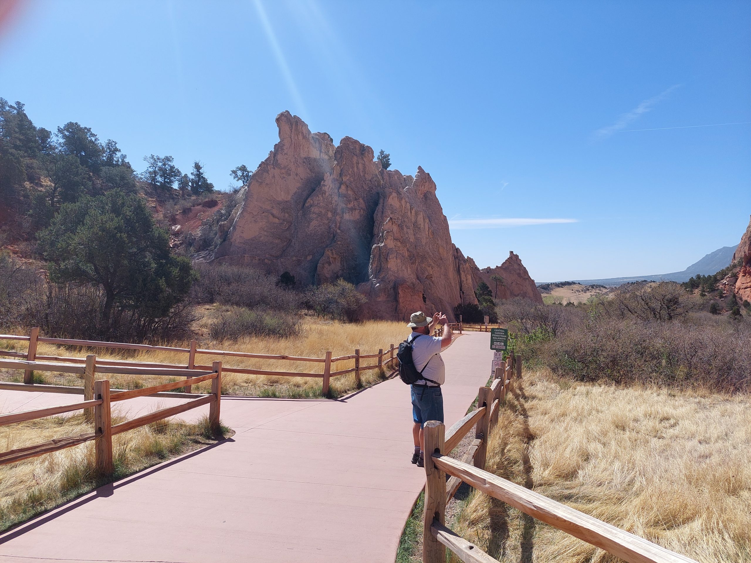
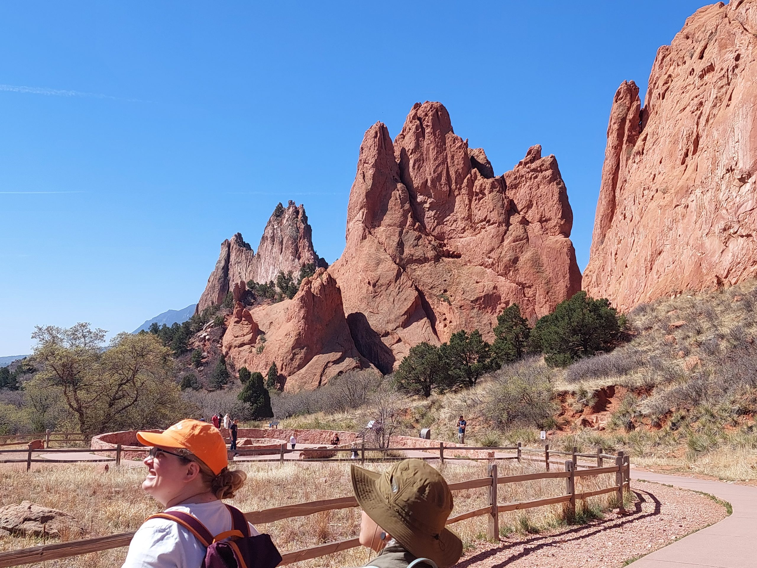
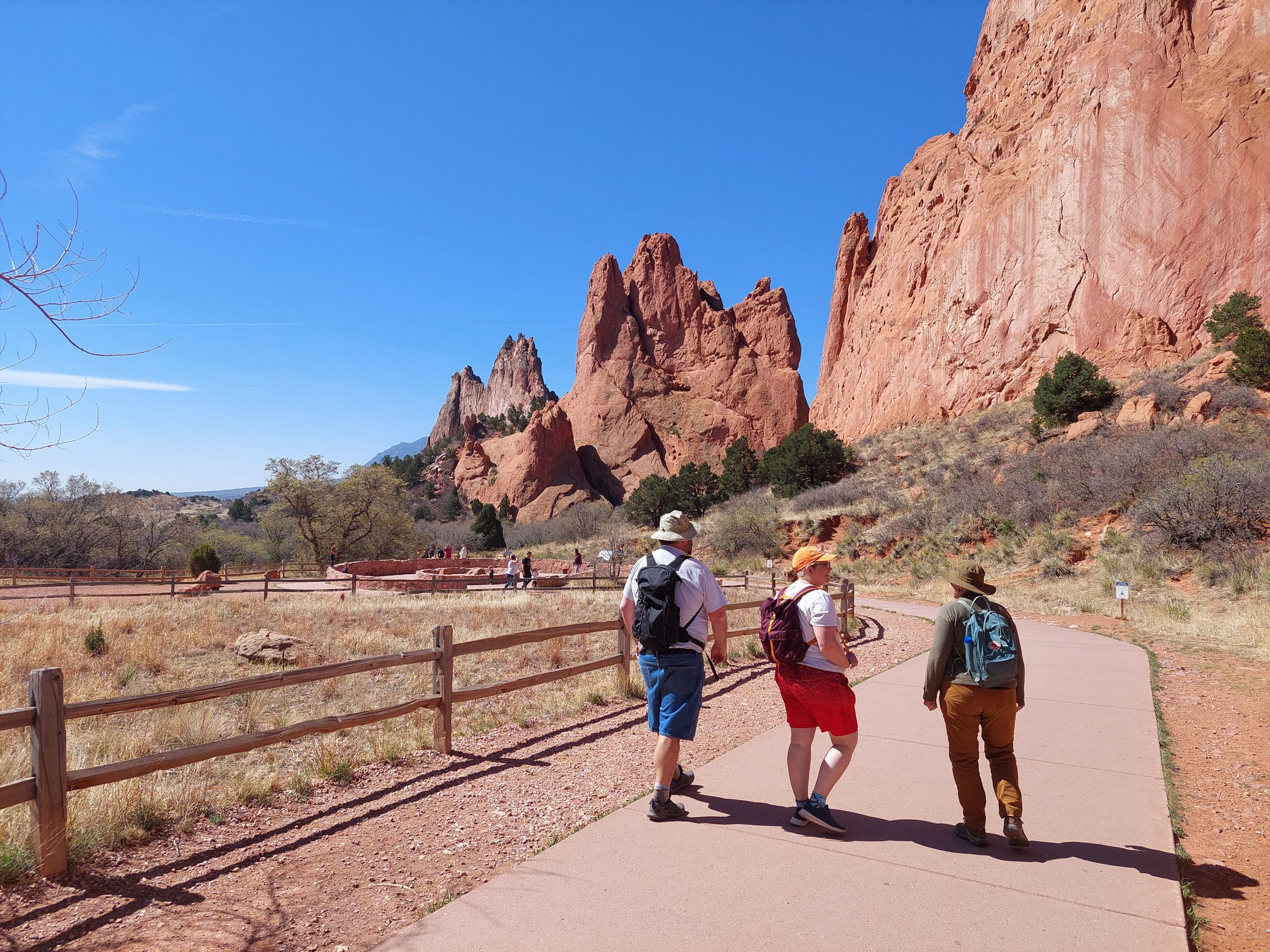
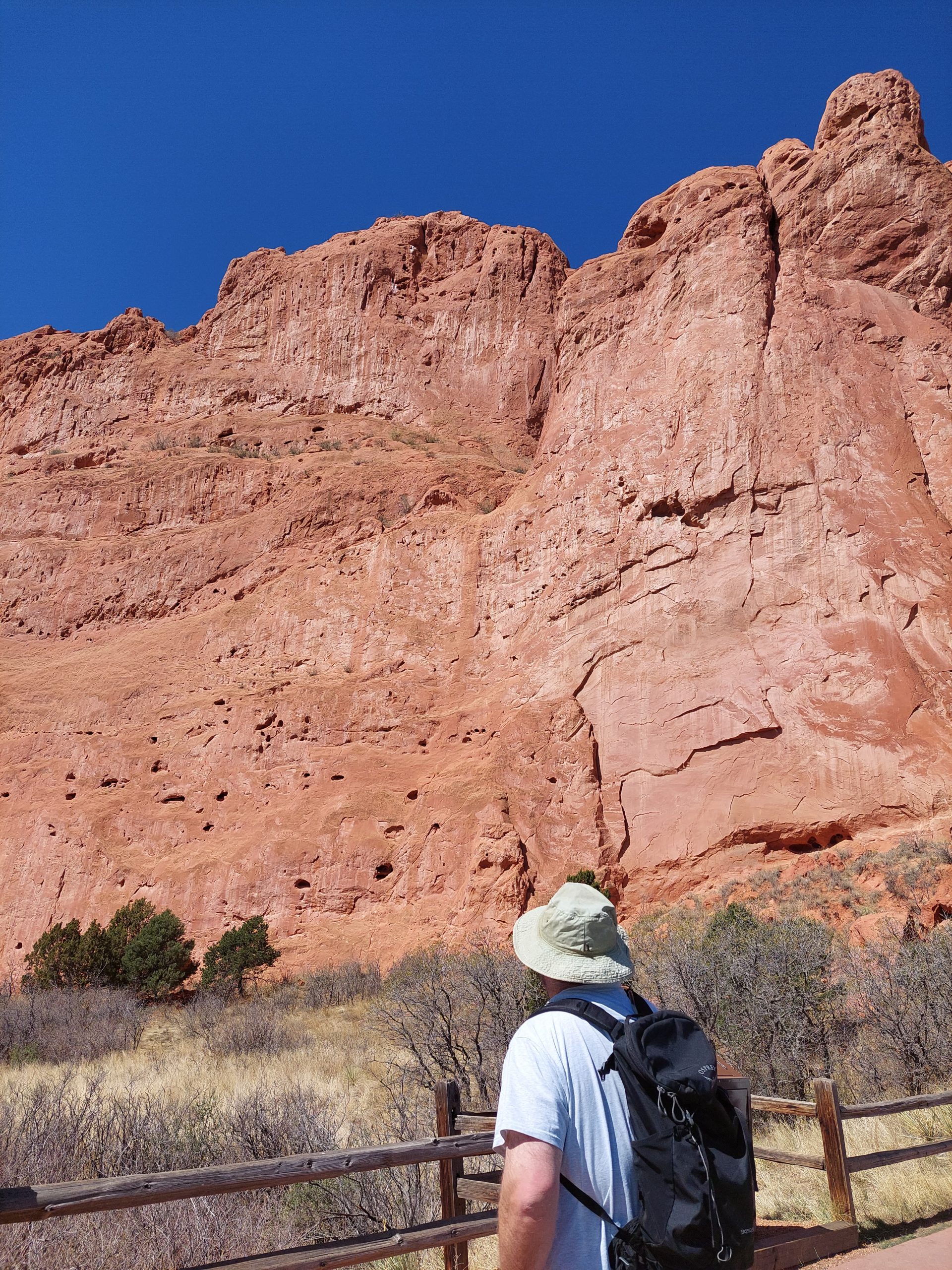
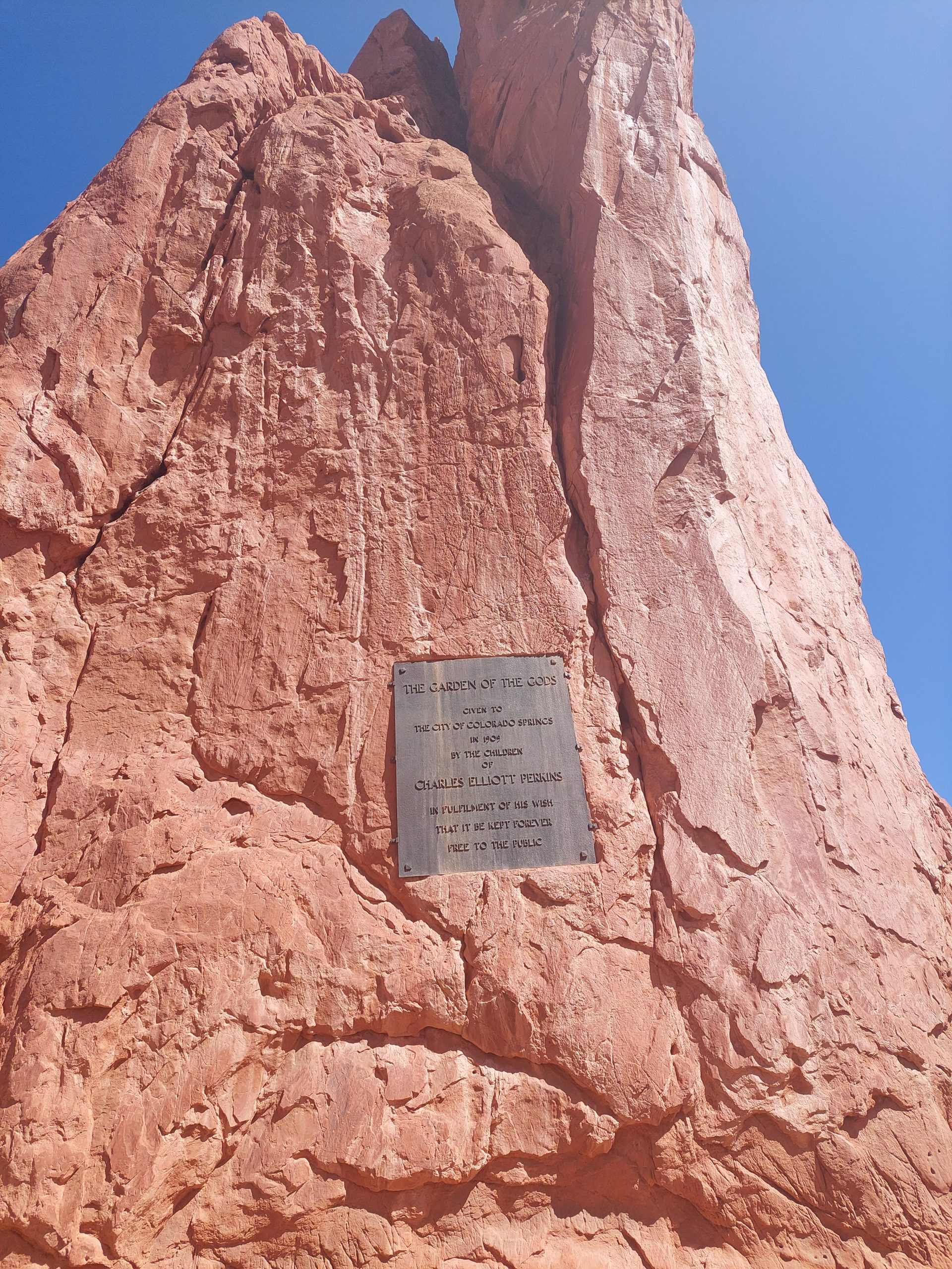
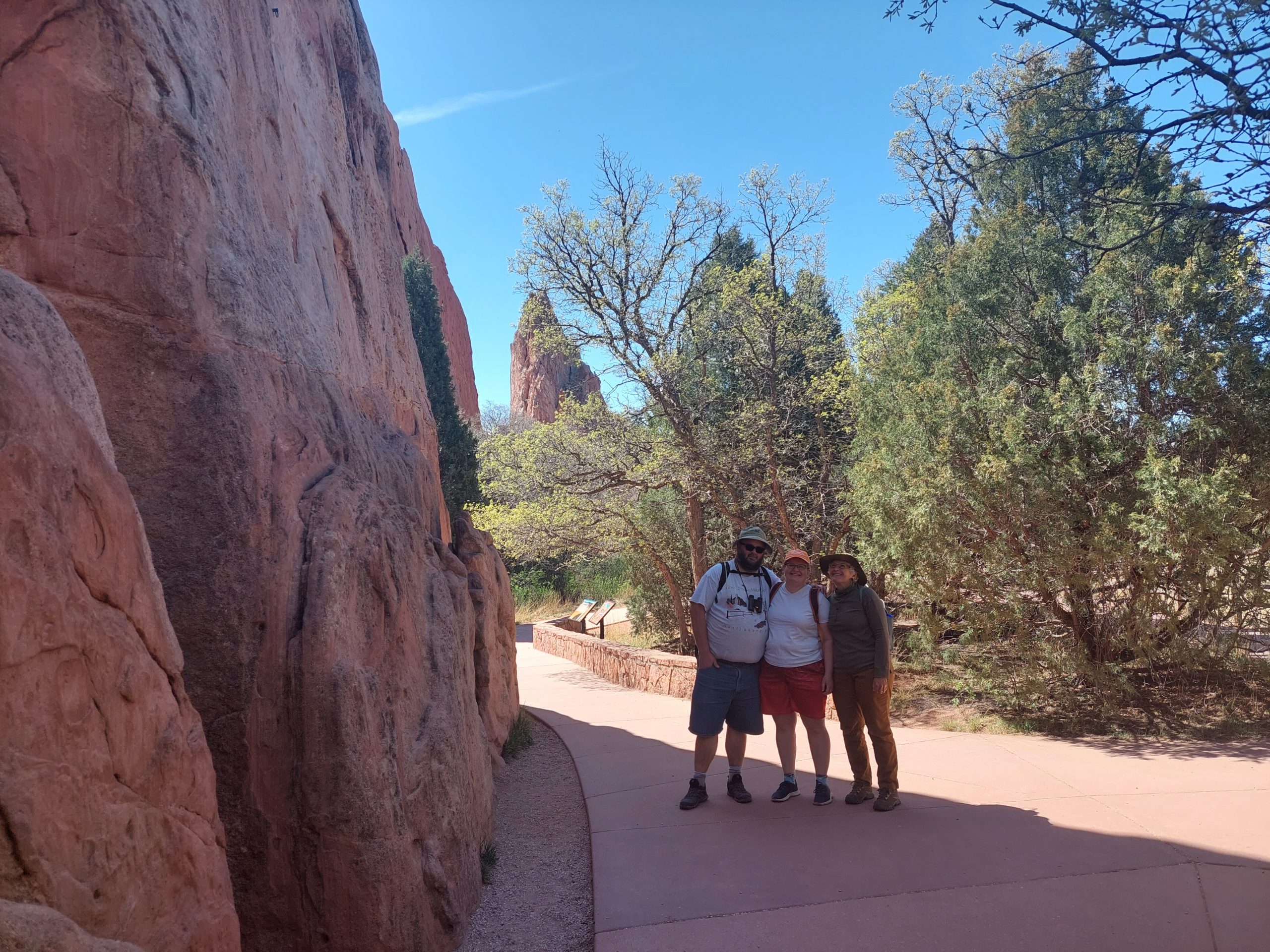
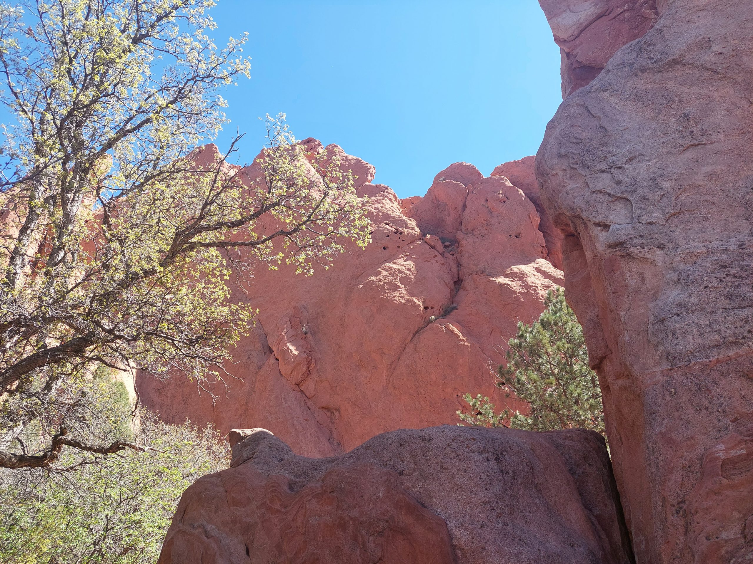
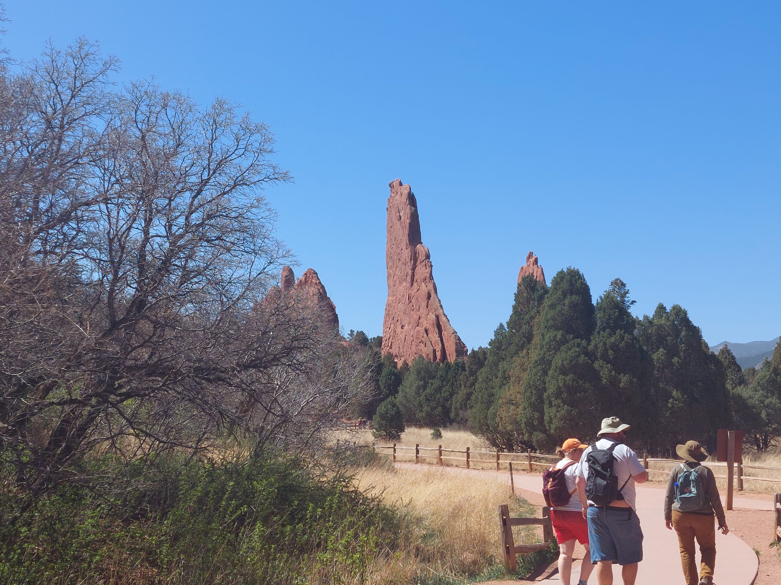
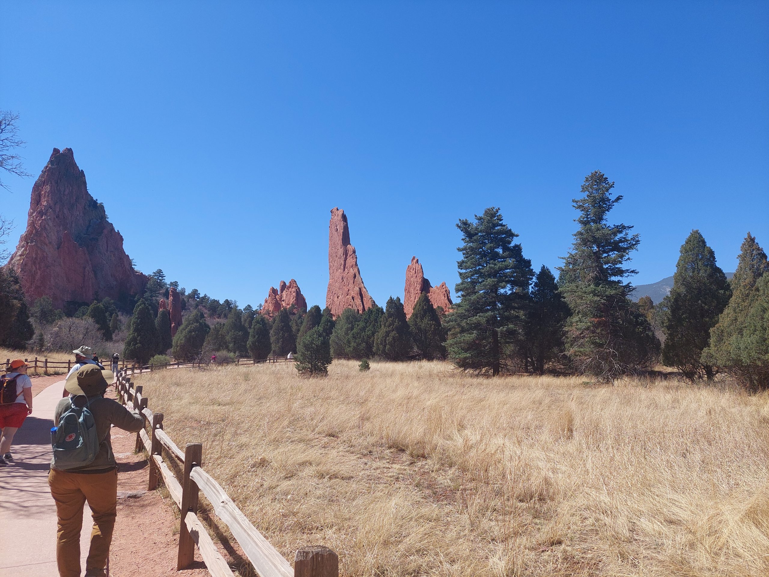
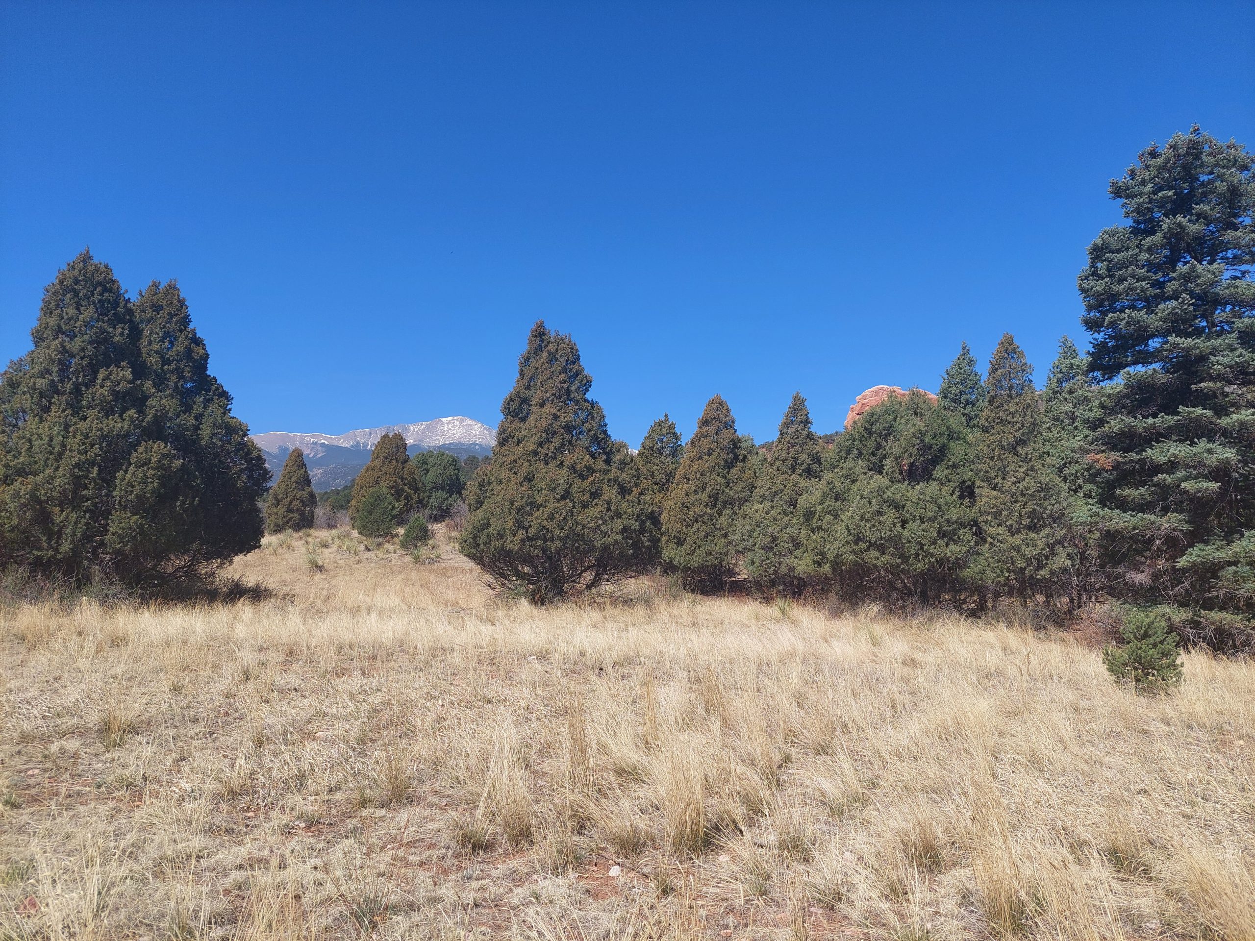
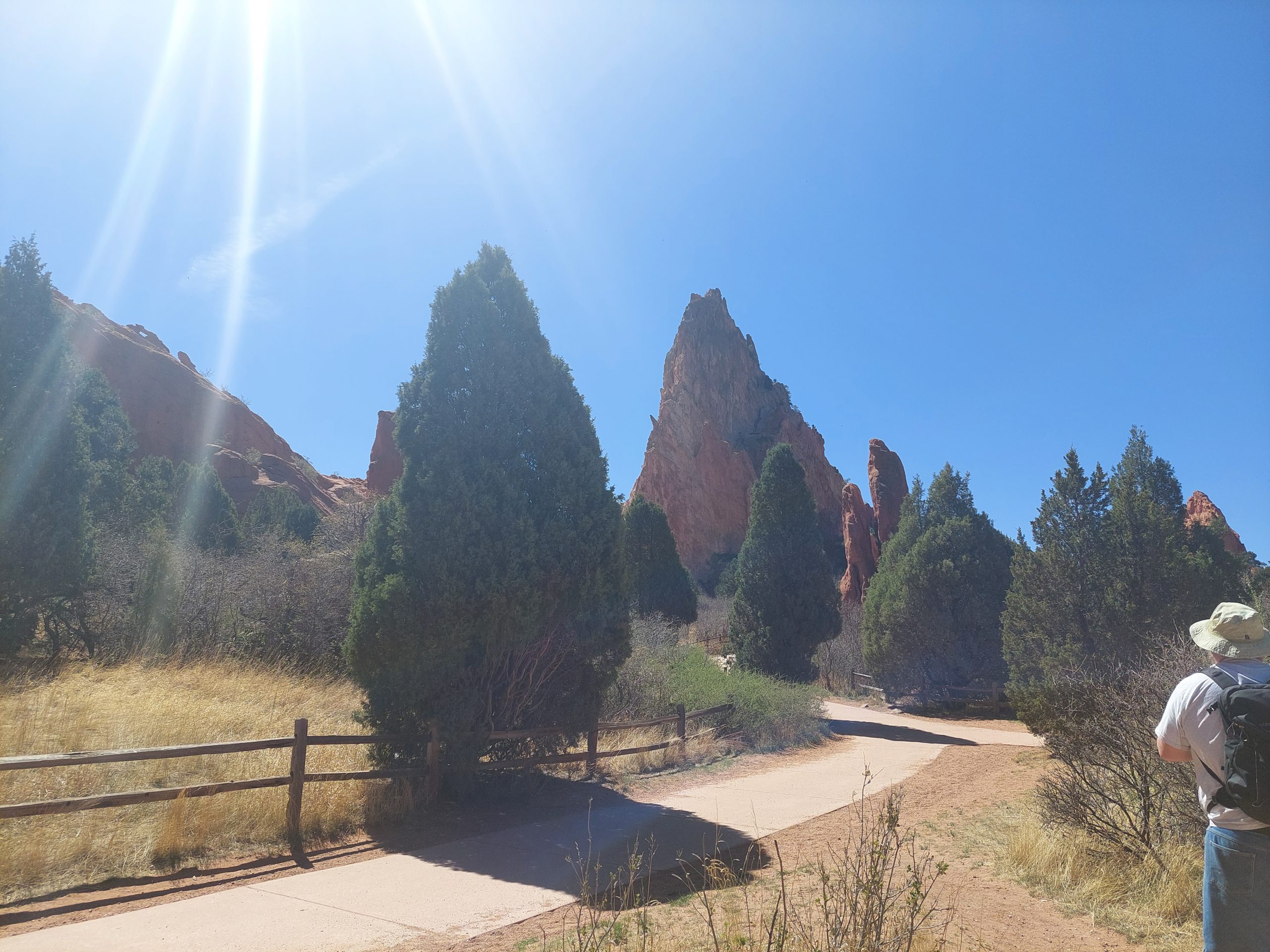
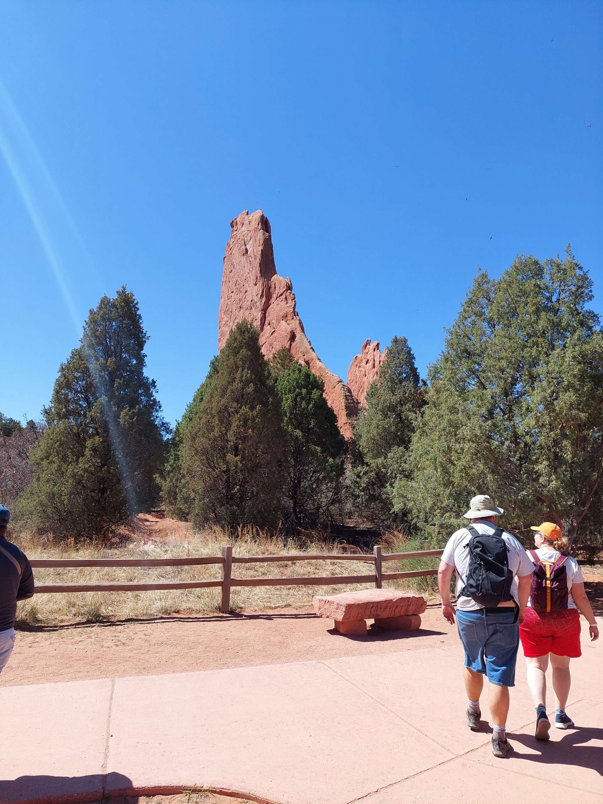
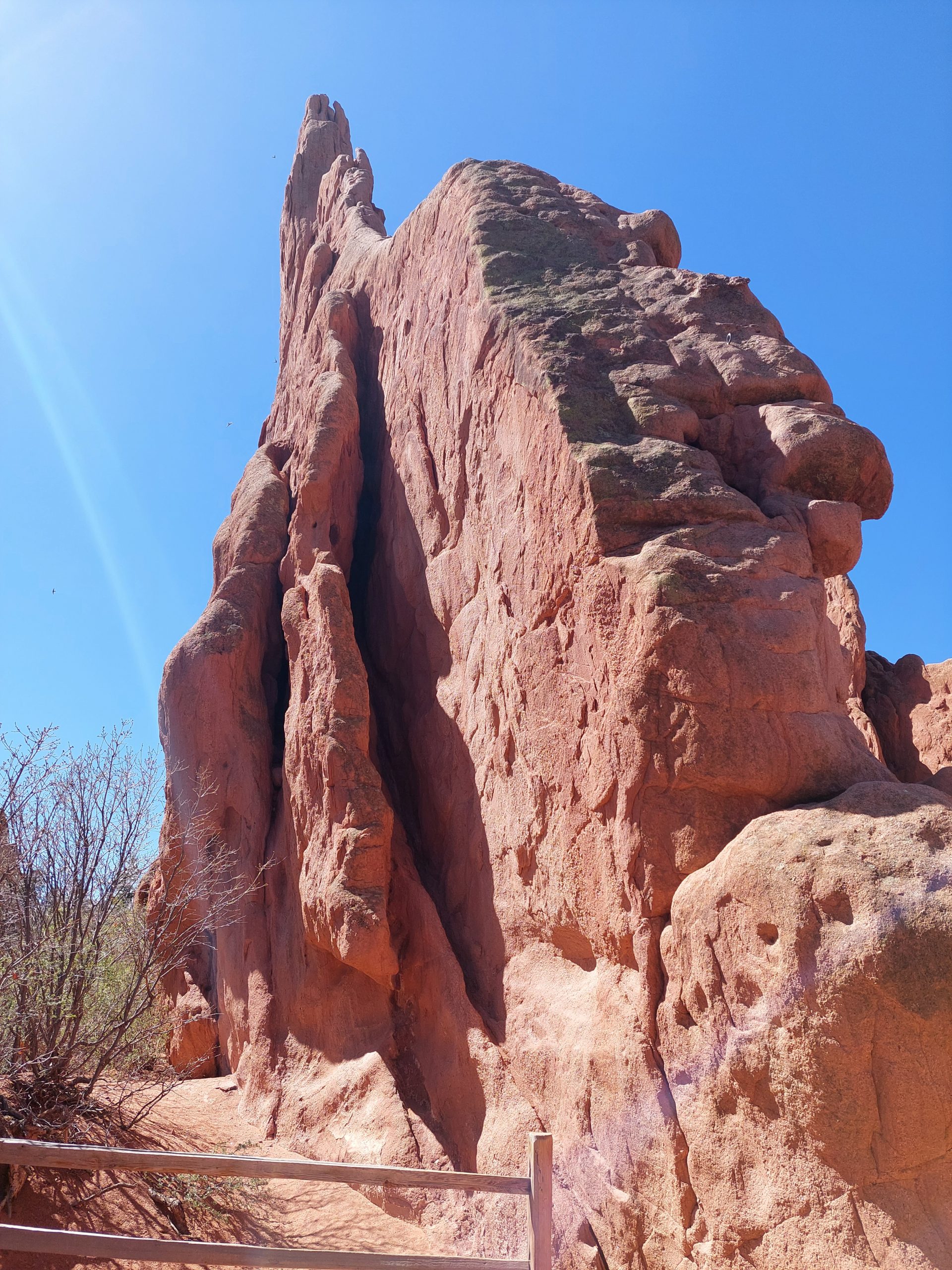
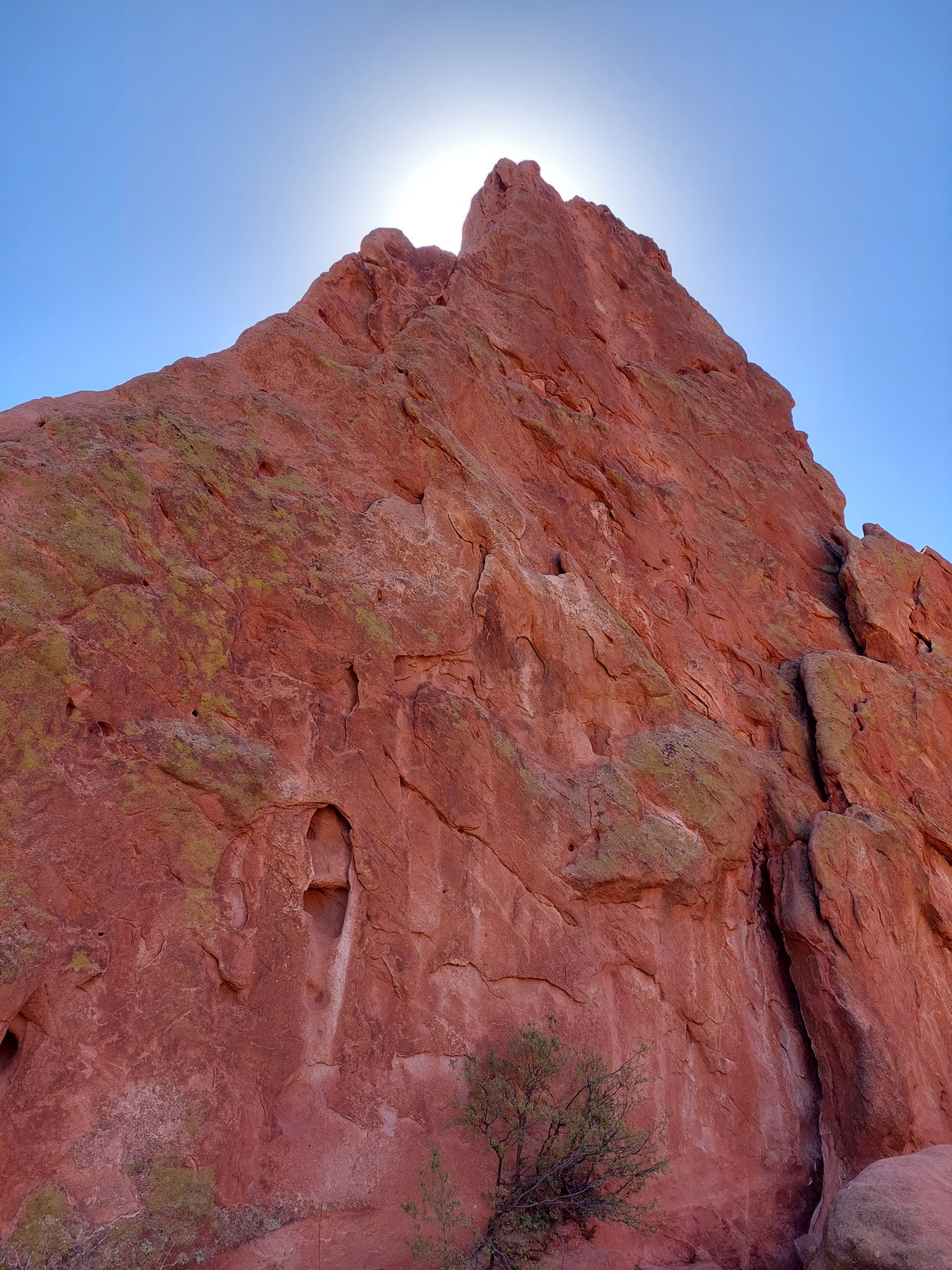
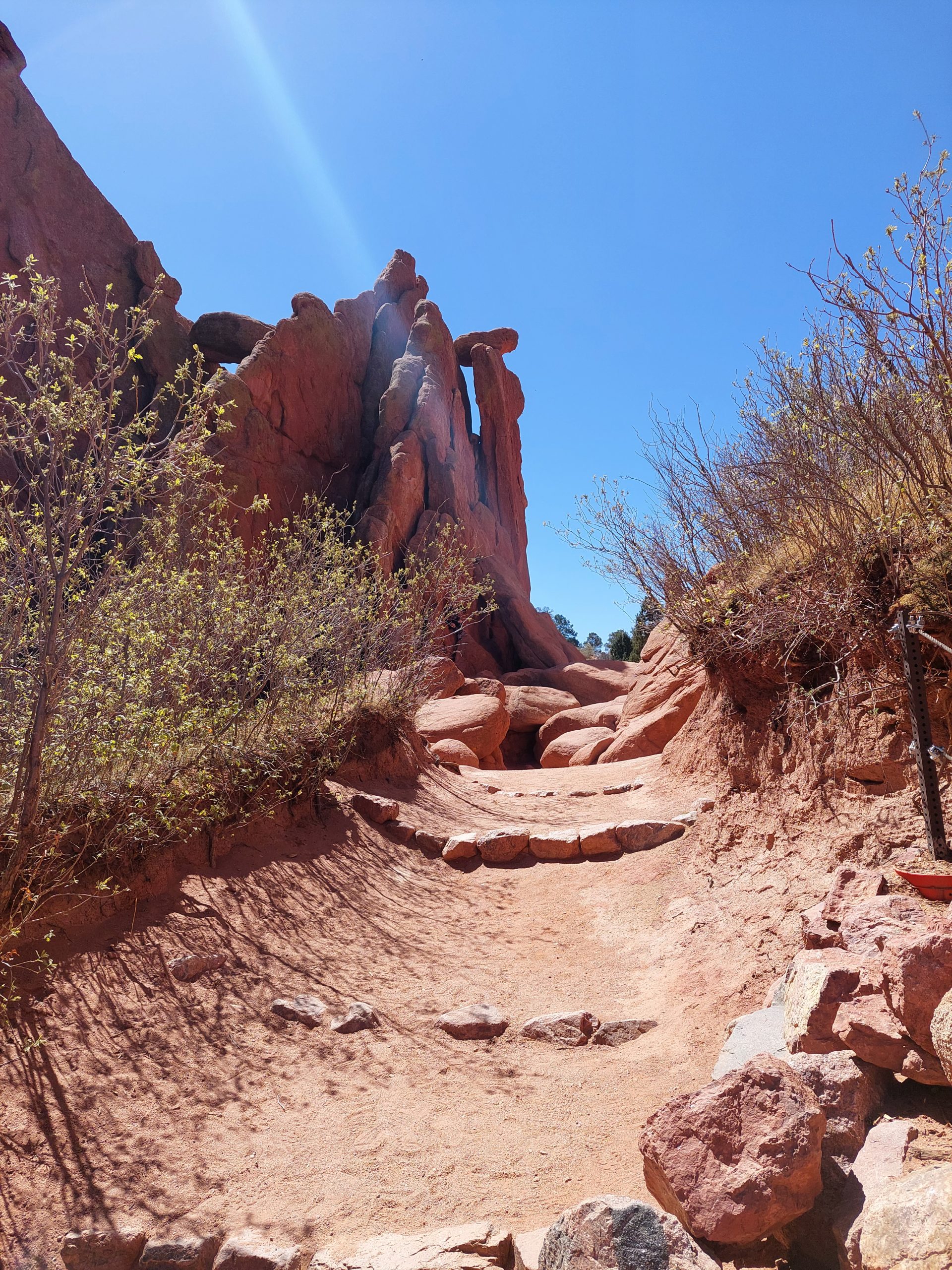
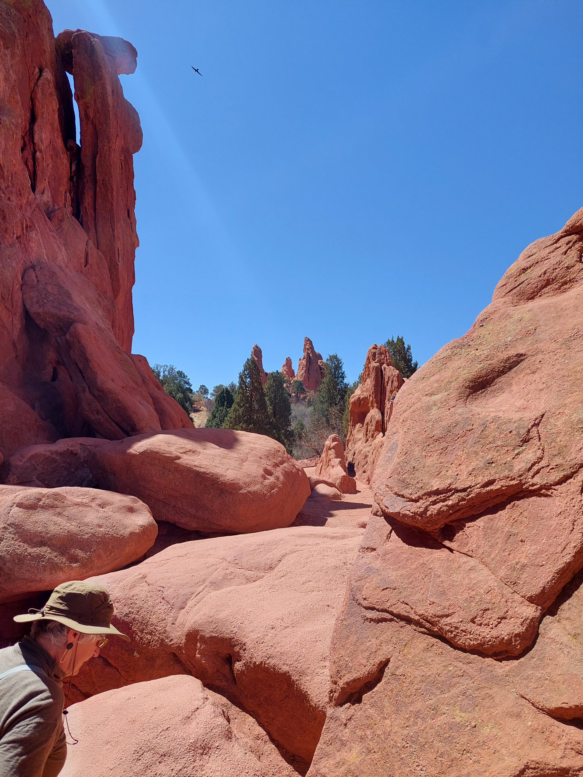
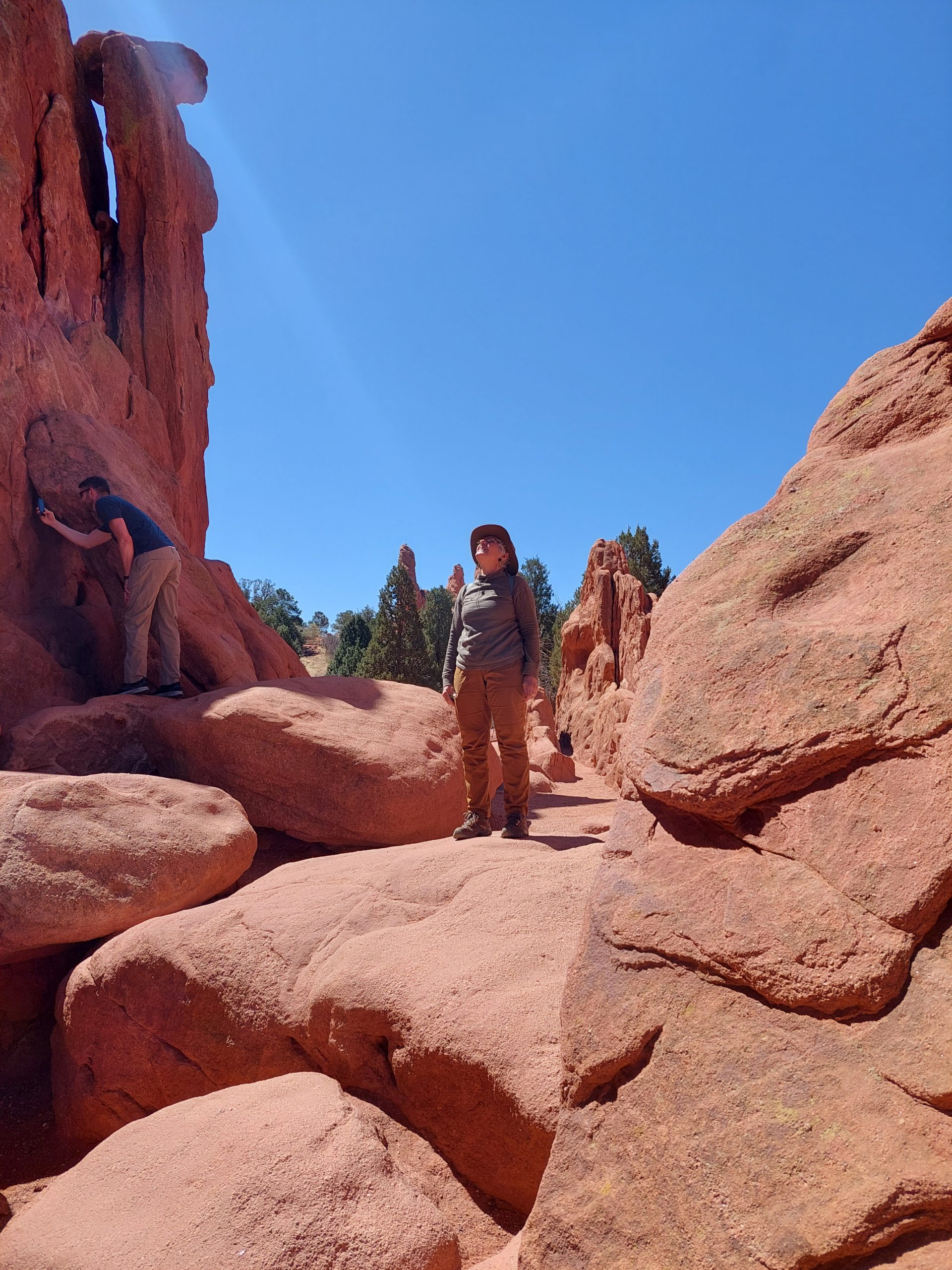
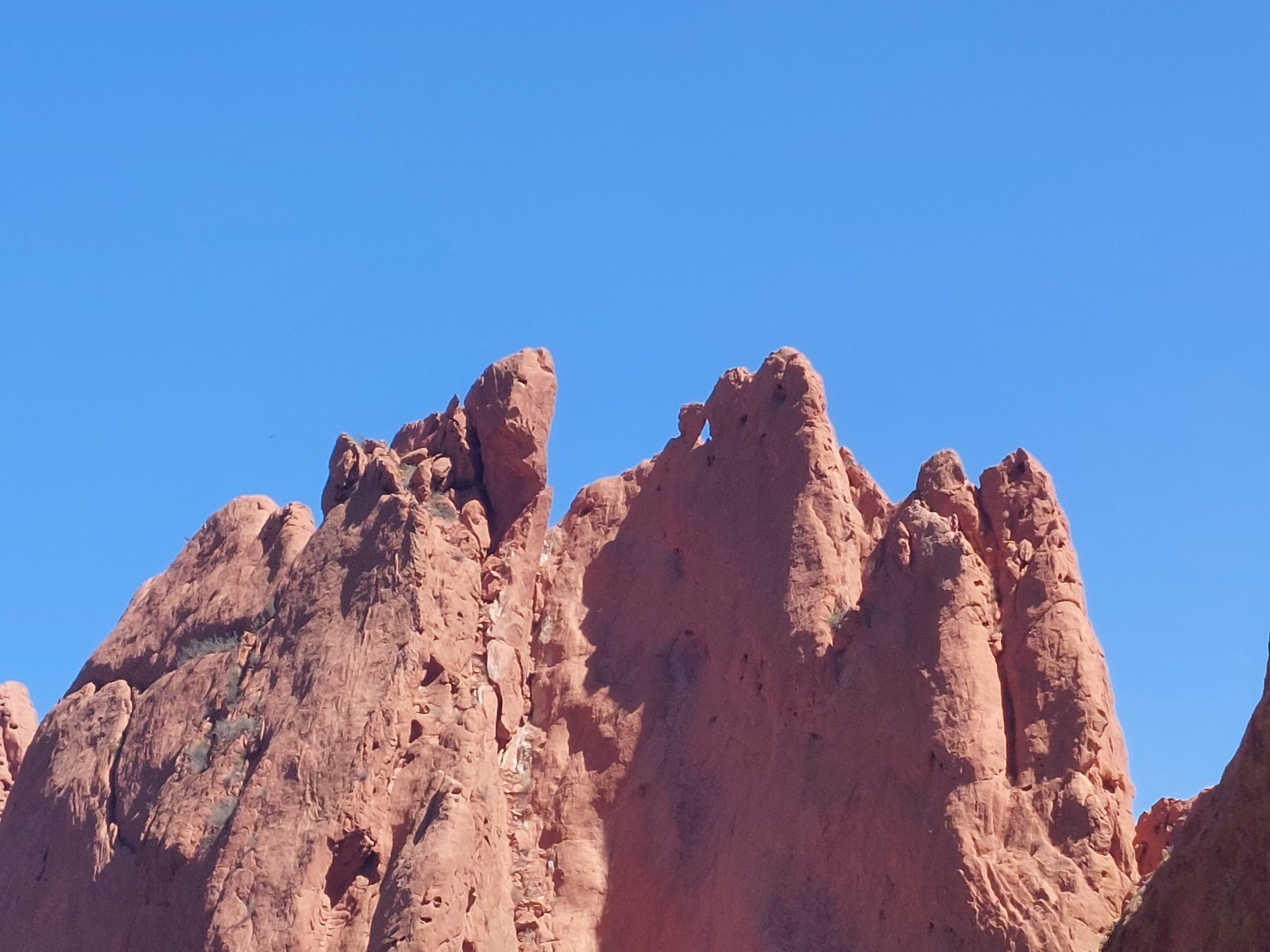
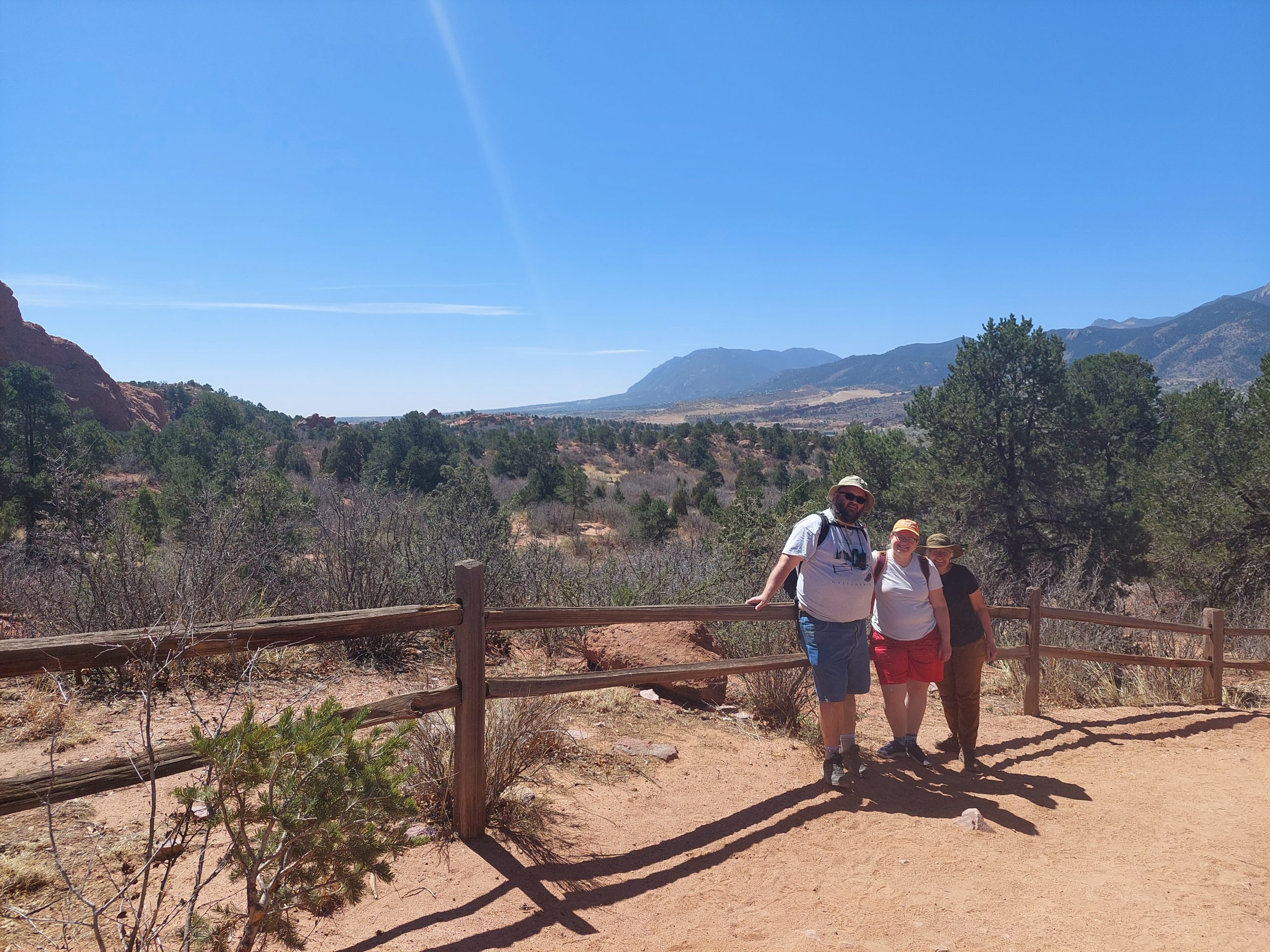
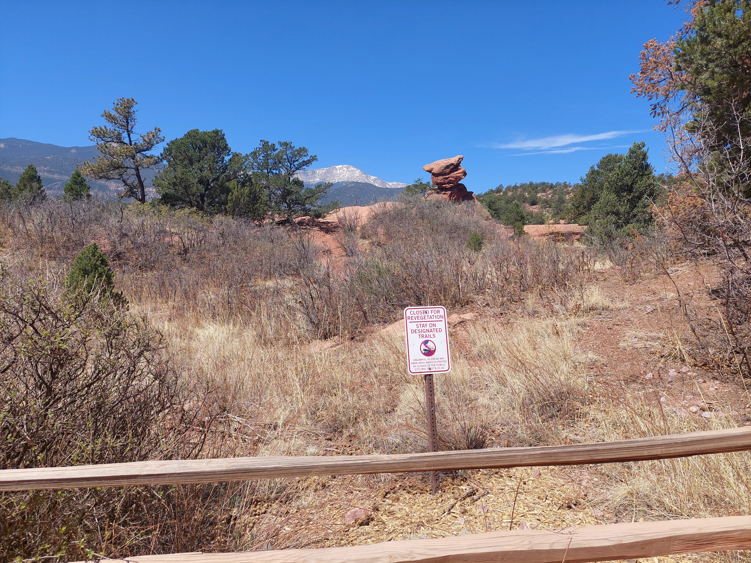
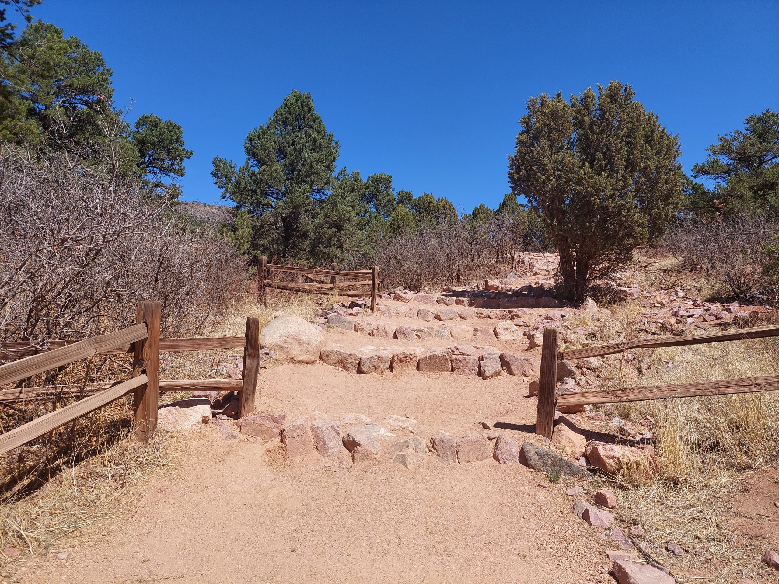
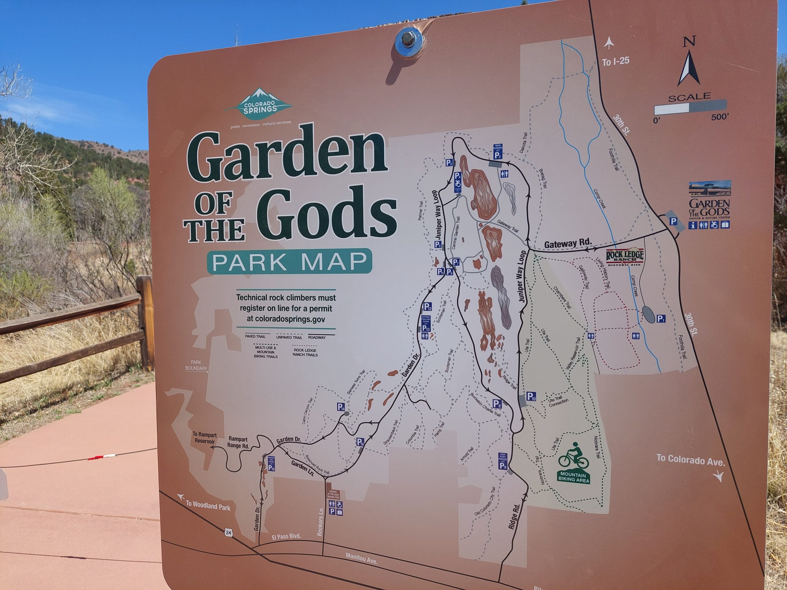
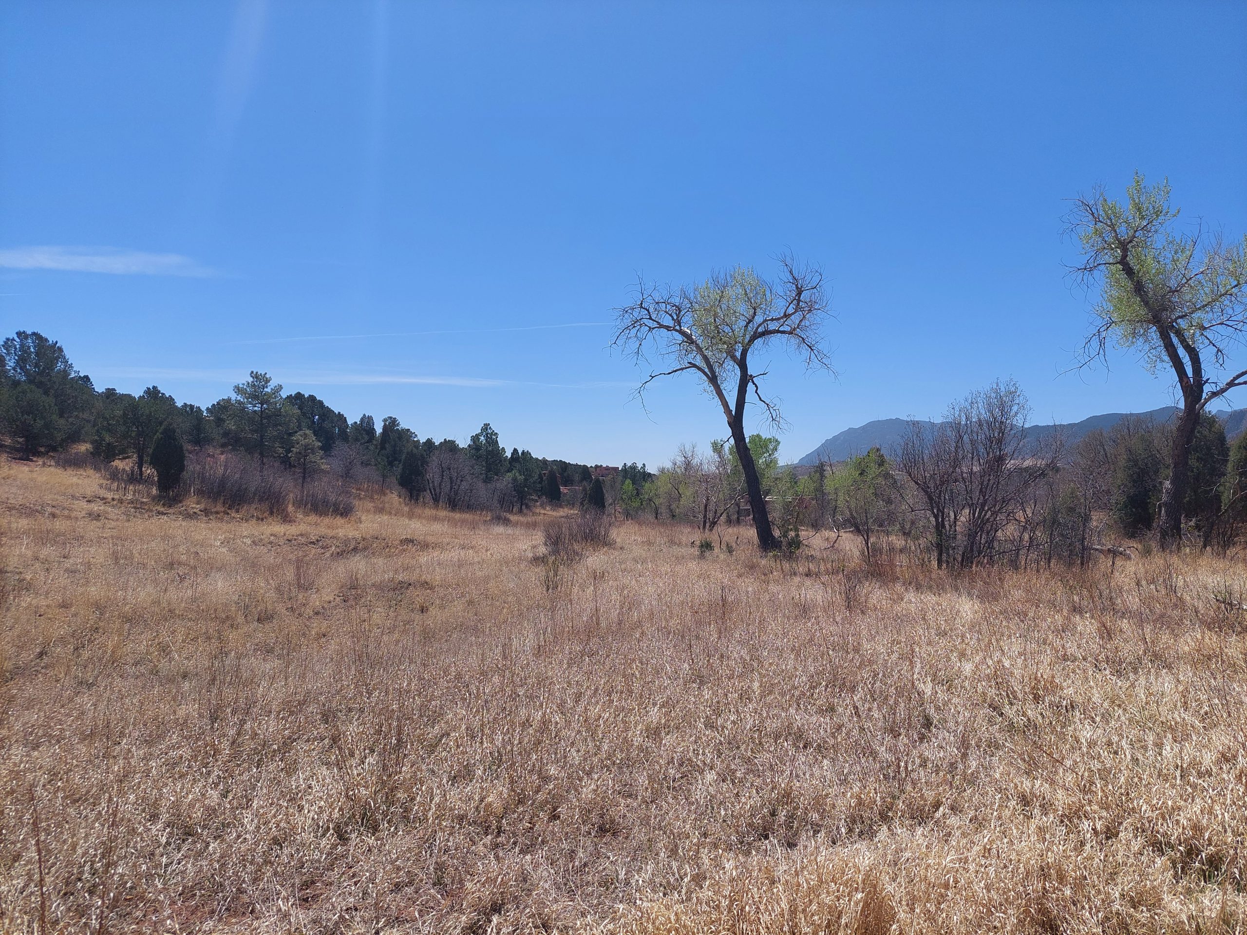
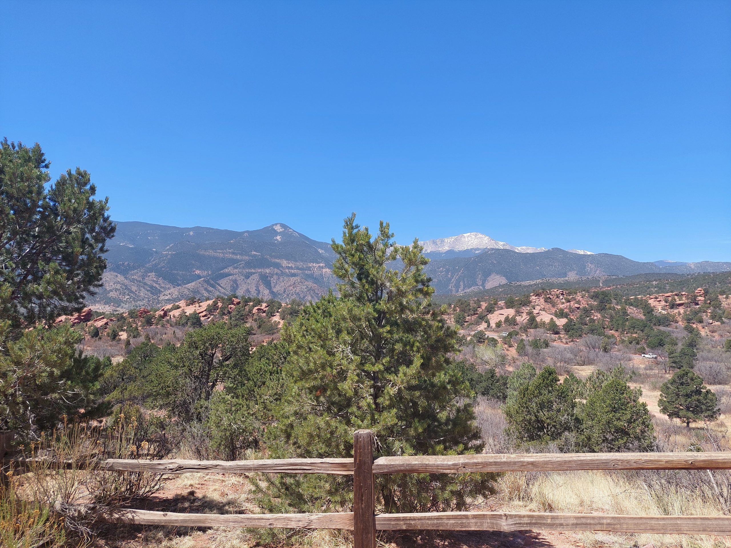
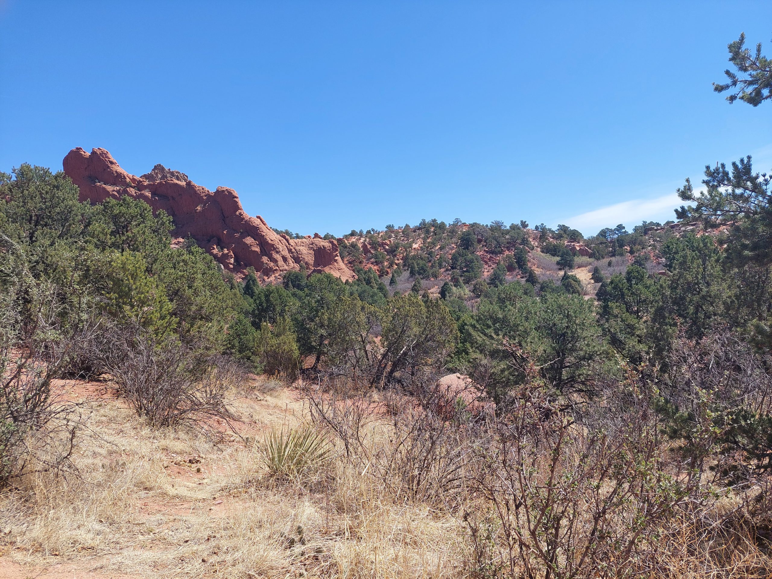
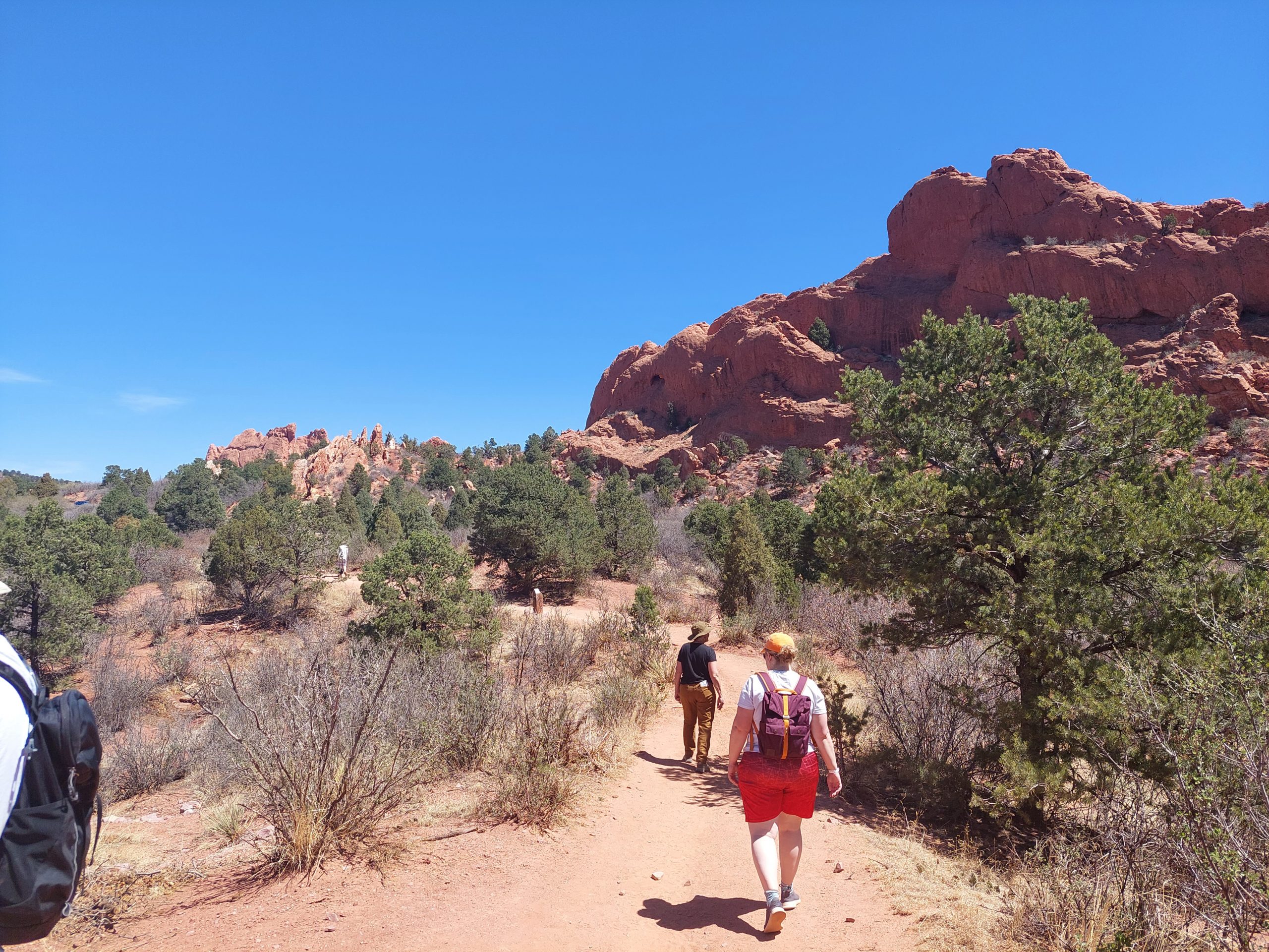
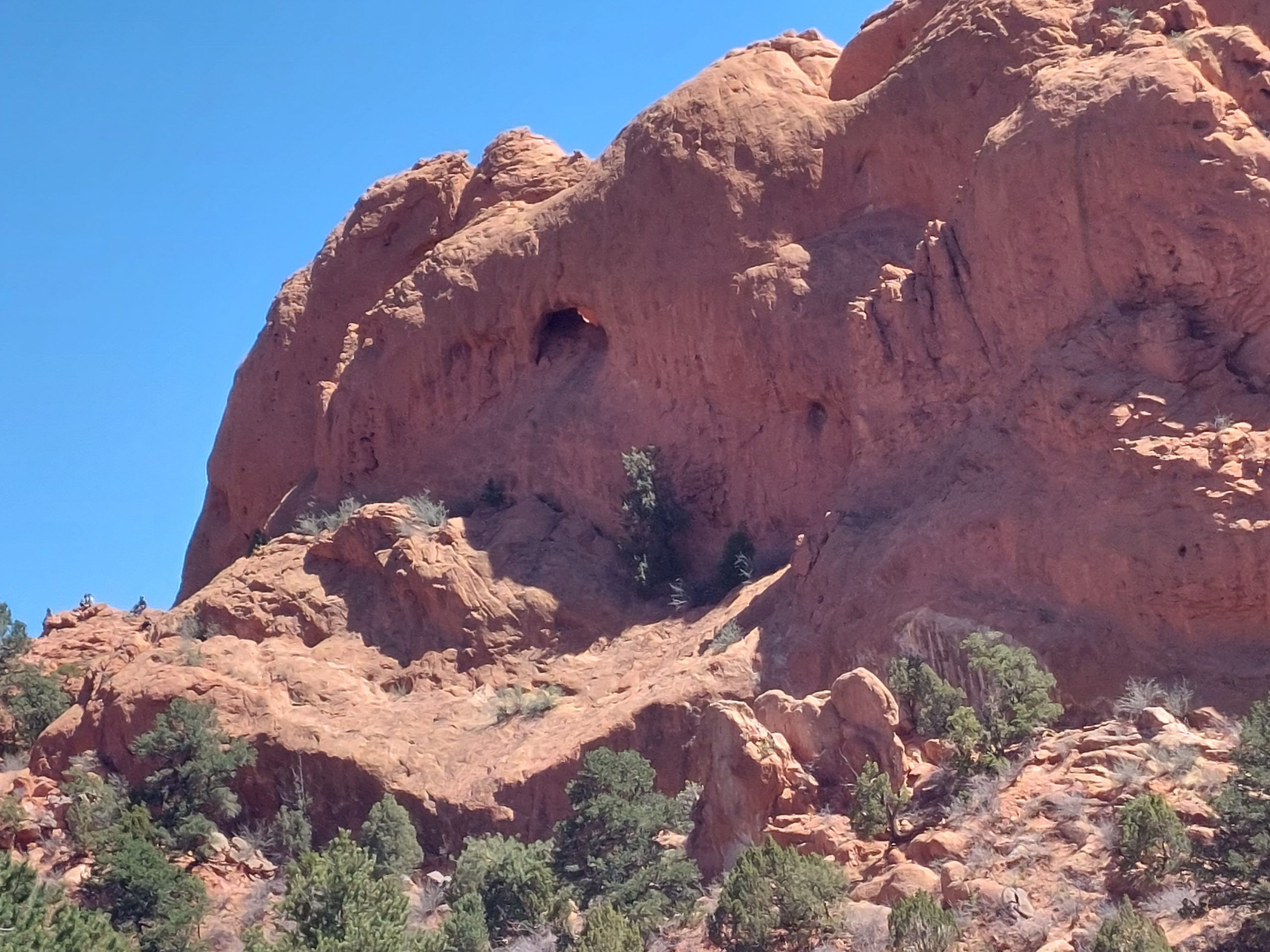
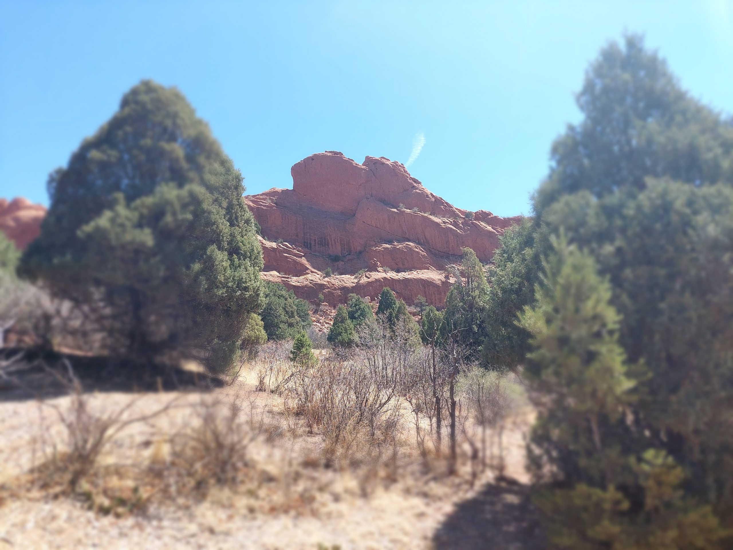
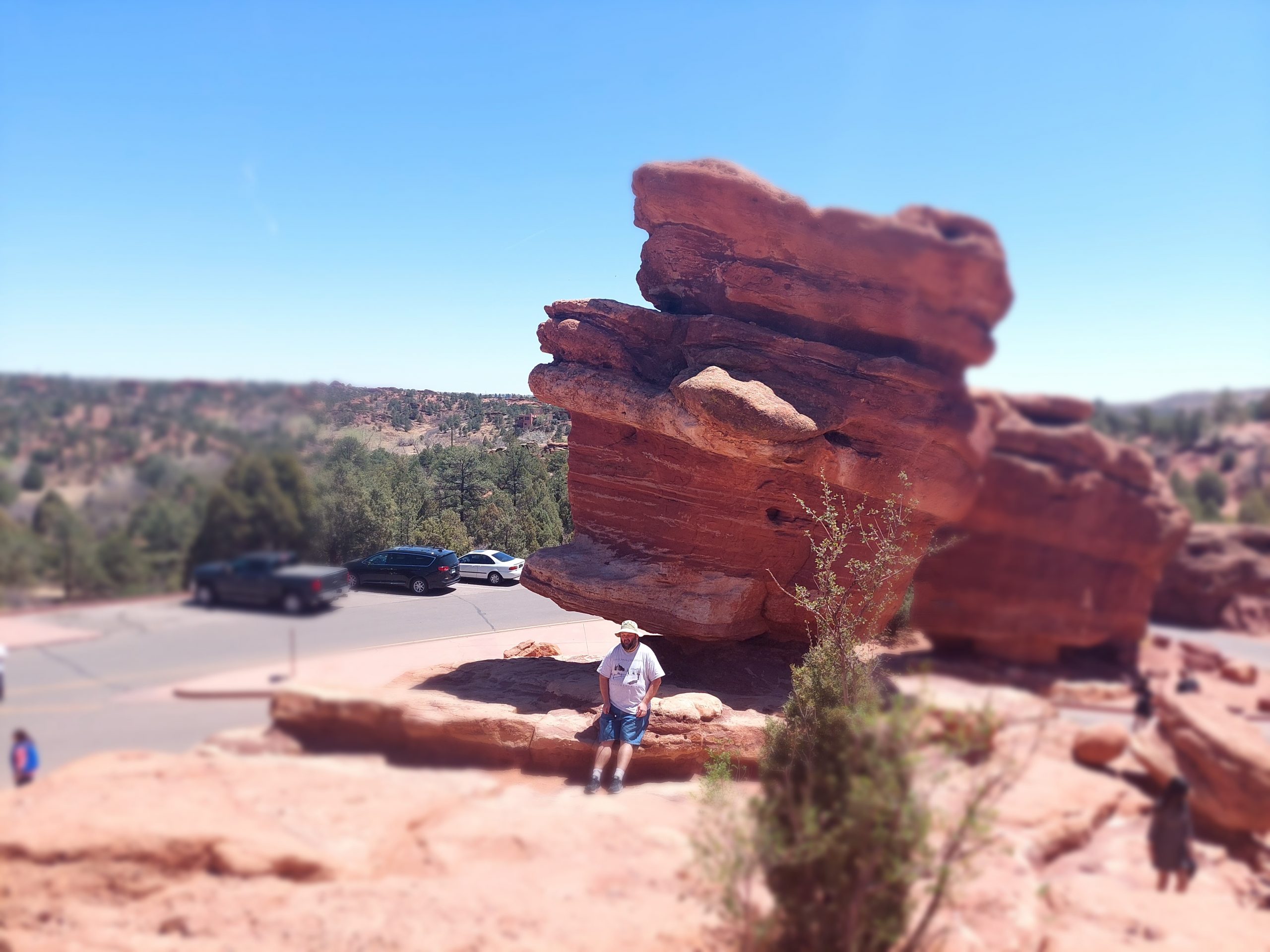
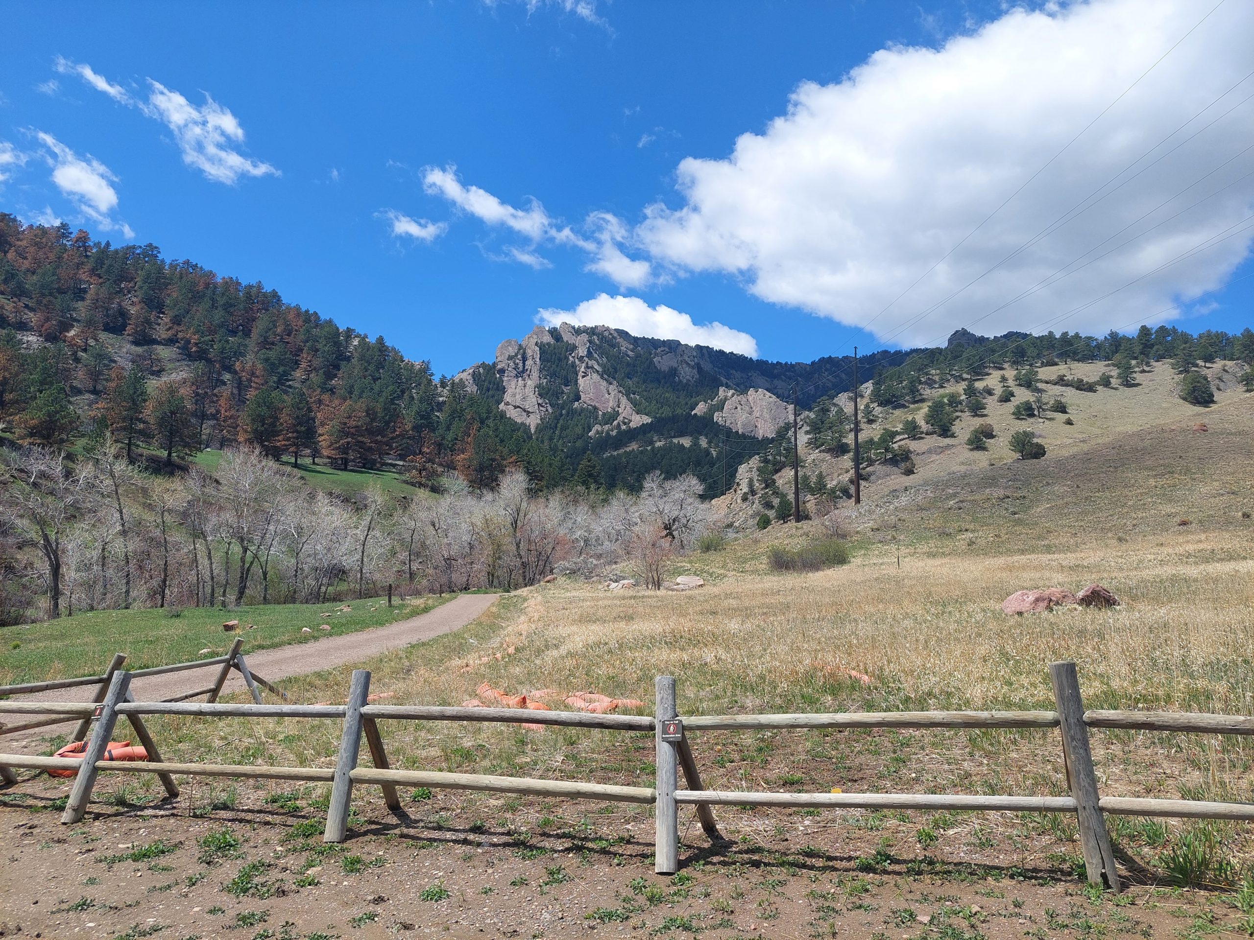
We got here Sunday, and did a little bit of walking around Monday, but things got real yesterday when we got up early and explored The Garden of the Gods. This is a spectacular park (and National Natural Landmark) on the edge of town, which features the same kind of up-tilted sandstone formations we saw near Red Rock. There really isn’t much of a narrative here, we just walked around, admiring the views and and taking pictures:
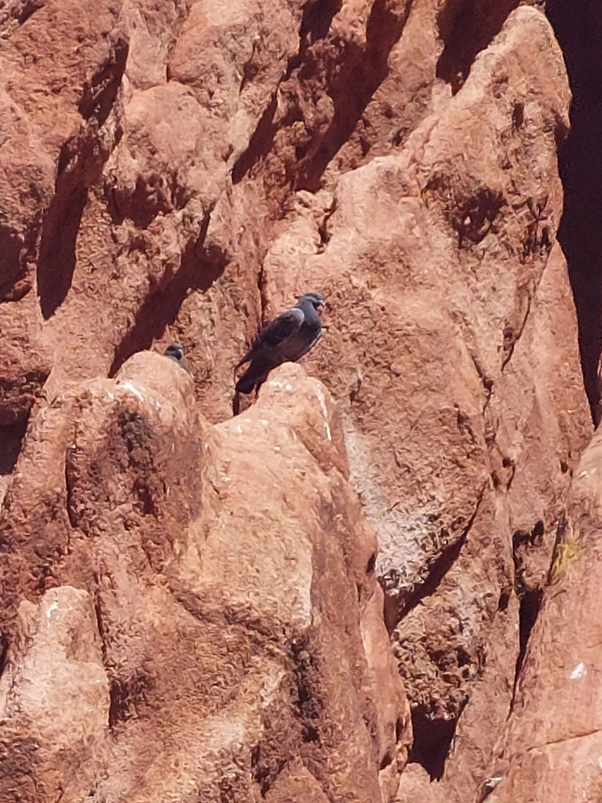
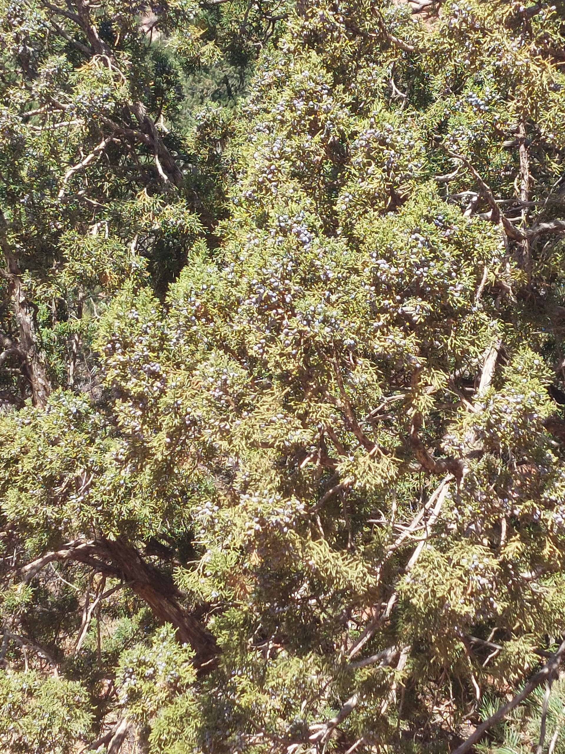
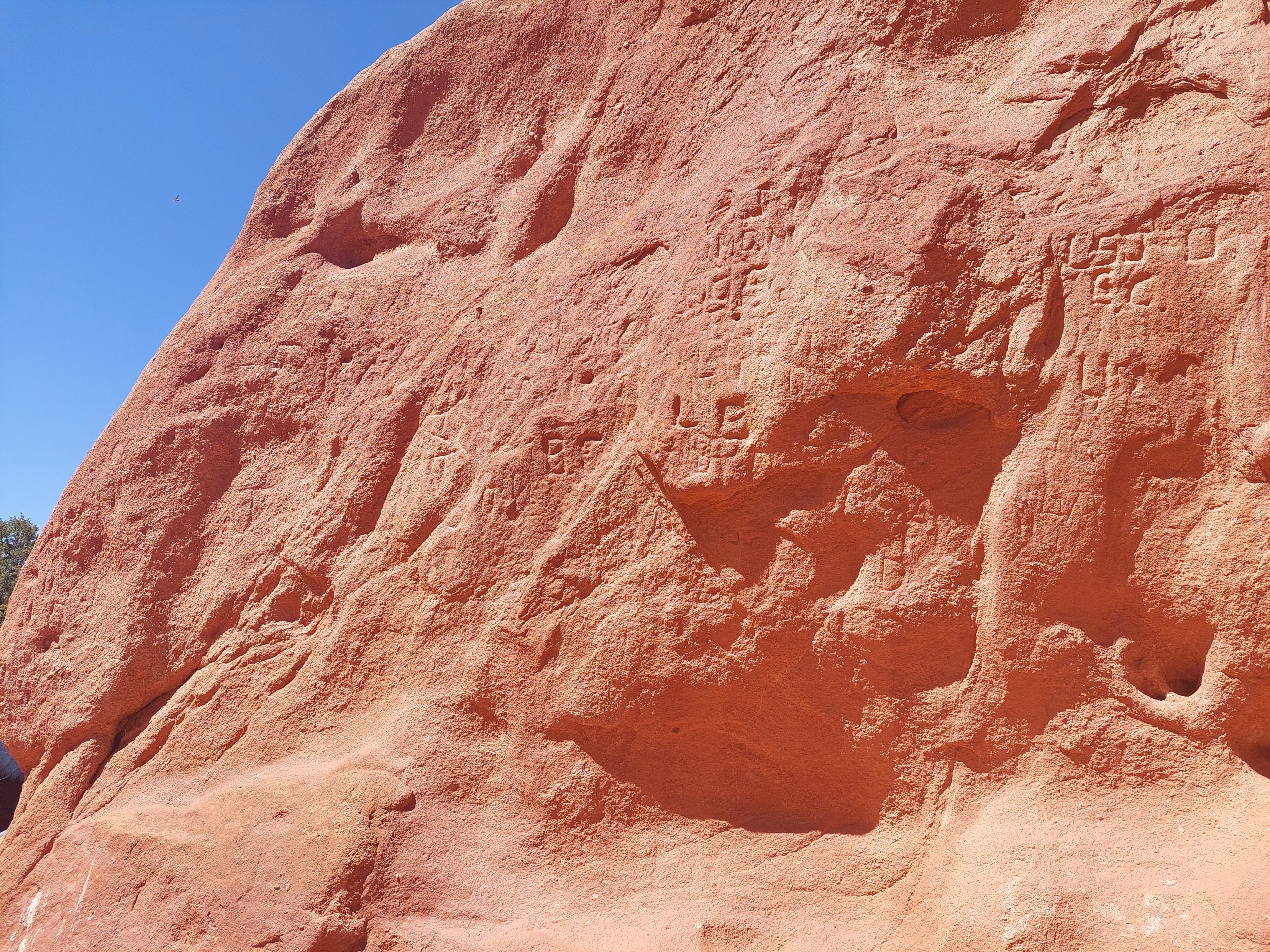
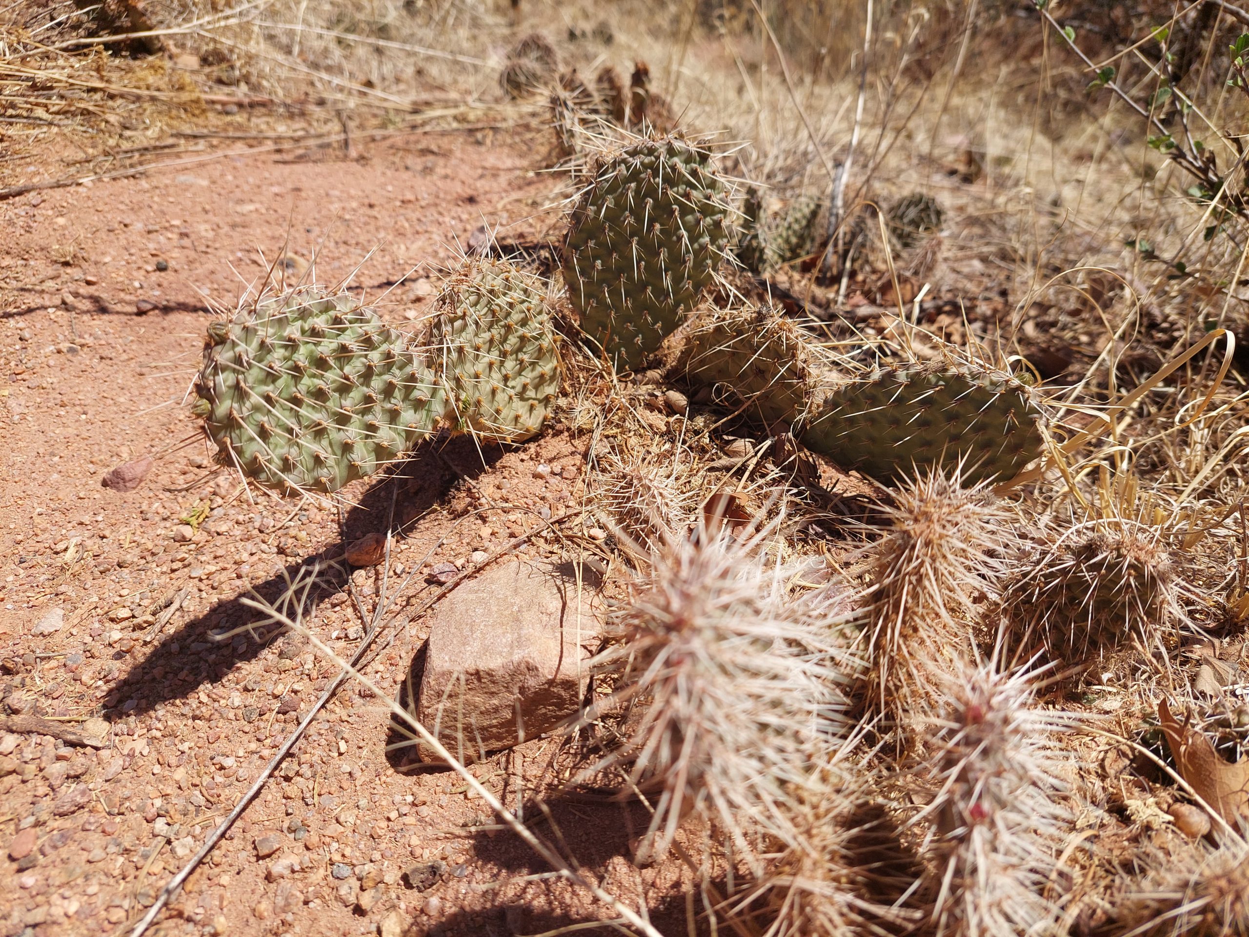
Pike’s Peak and Garden Of The GodsAnne At Garden Of The GodsMe At Garden Of The GodsKyleEmmi & AnneKyle, Emmi & AnneKyle And The Rock FormationGarden Of The GodsKyle, Emmi & Anne At Garden Of The GodsRock FormationsHiking To The Next FormationRock FinsPike’s PeakKyle With The Rock FinKyle And EmmiRock Fin Up CloseAgainst The DayUnstable RocksRock FormationsAnneA PigeonJuniper BerriesKissing CamelsRock CarvingsKyle, Emmi & AnneThe ScotsmanScotsman TrailKyle And The ScotsmanYou Are HereColorado SavannahArid Landscape And Pike’s PeakSemi-DesertPrickly PearsAnne And EmmiThe Hole In The WallMore Rocks
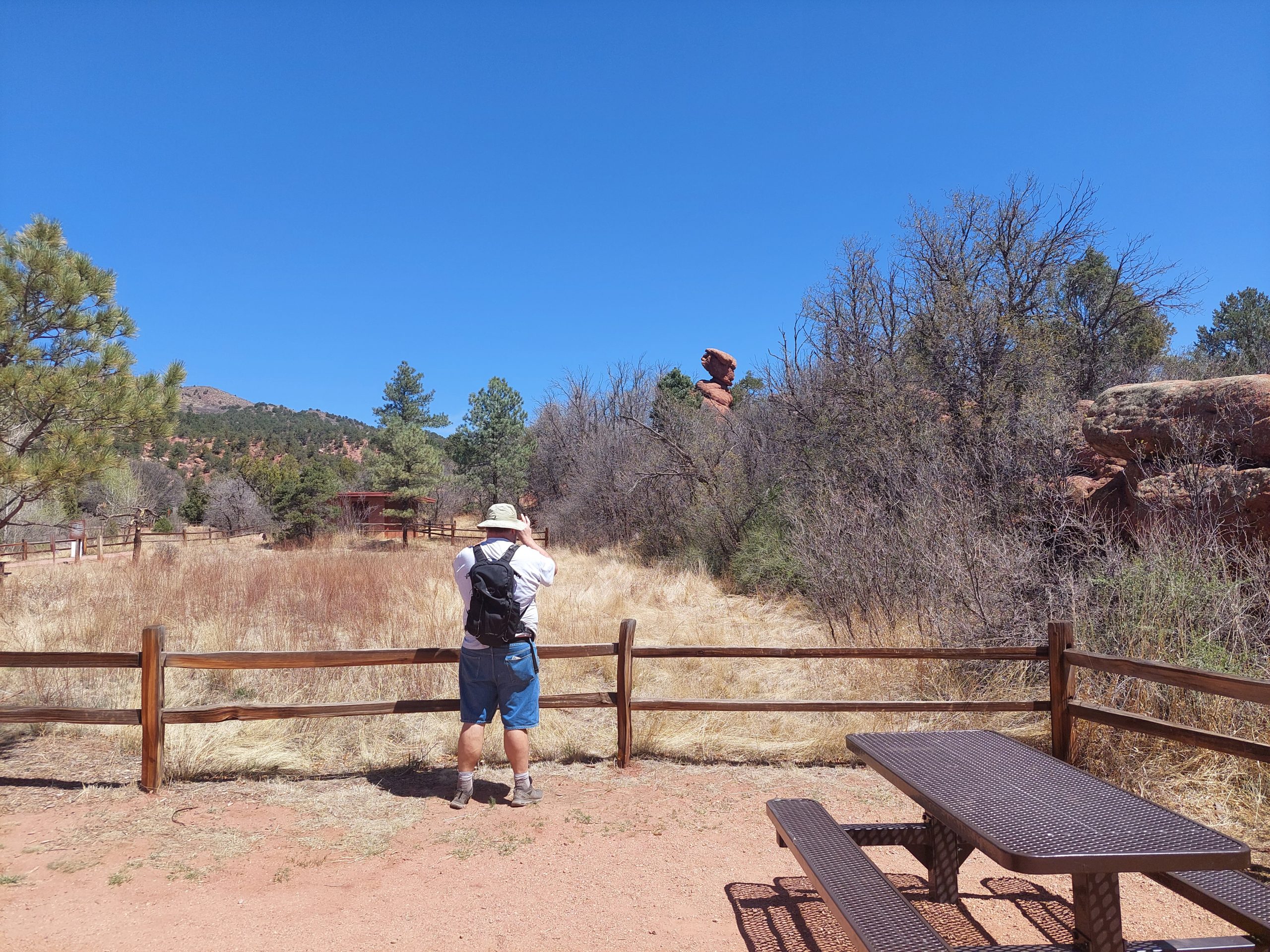
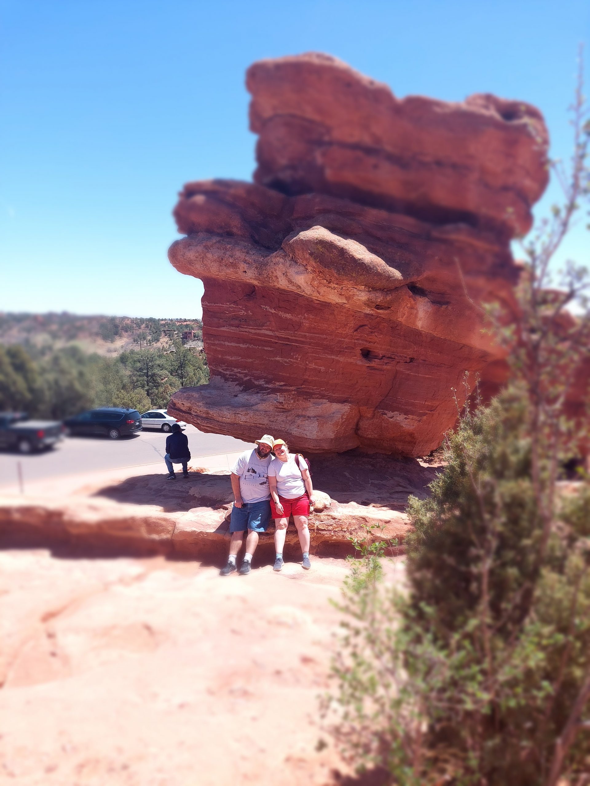
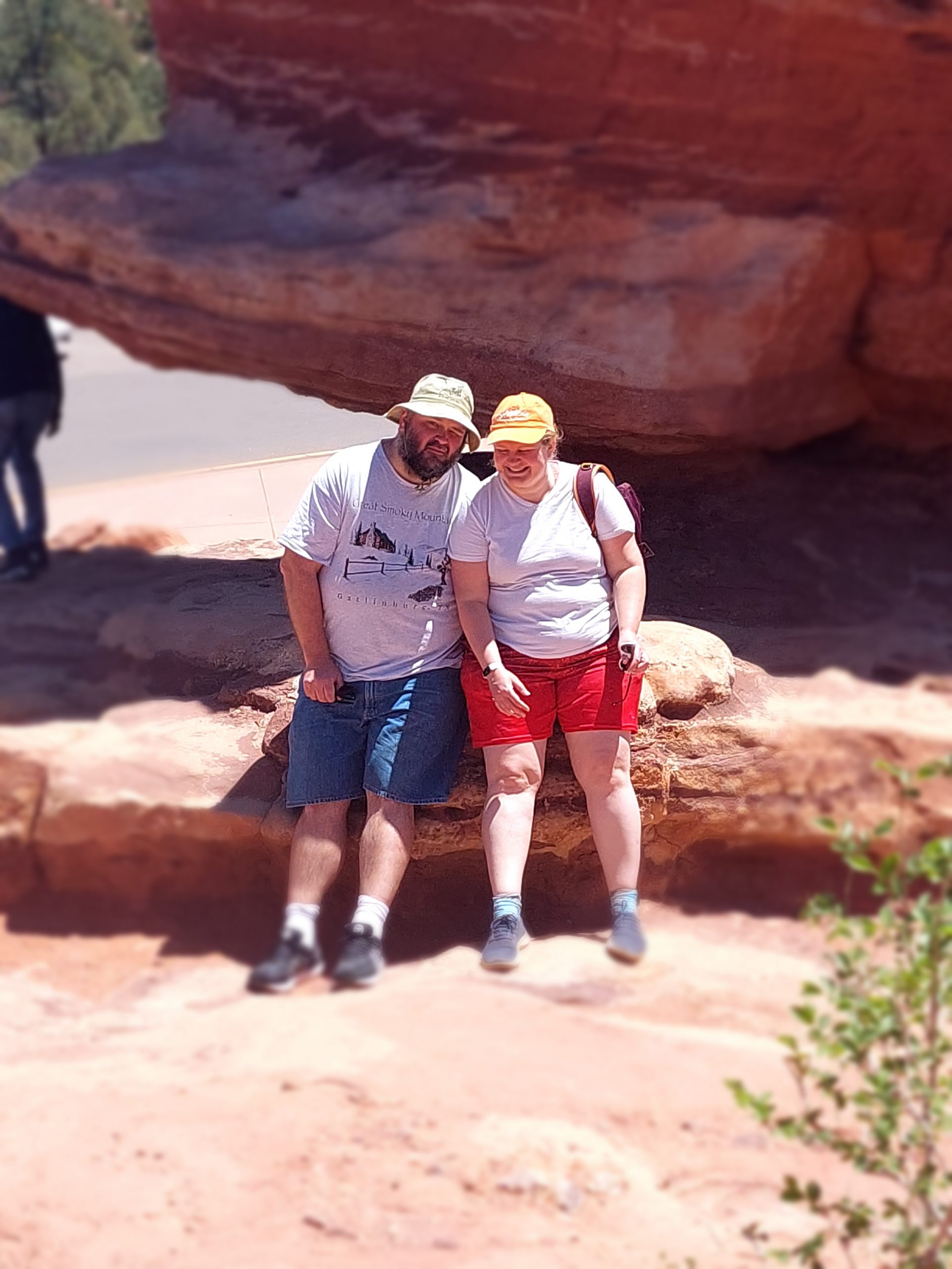
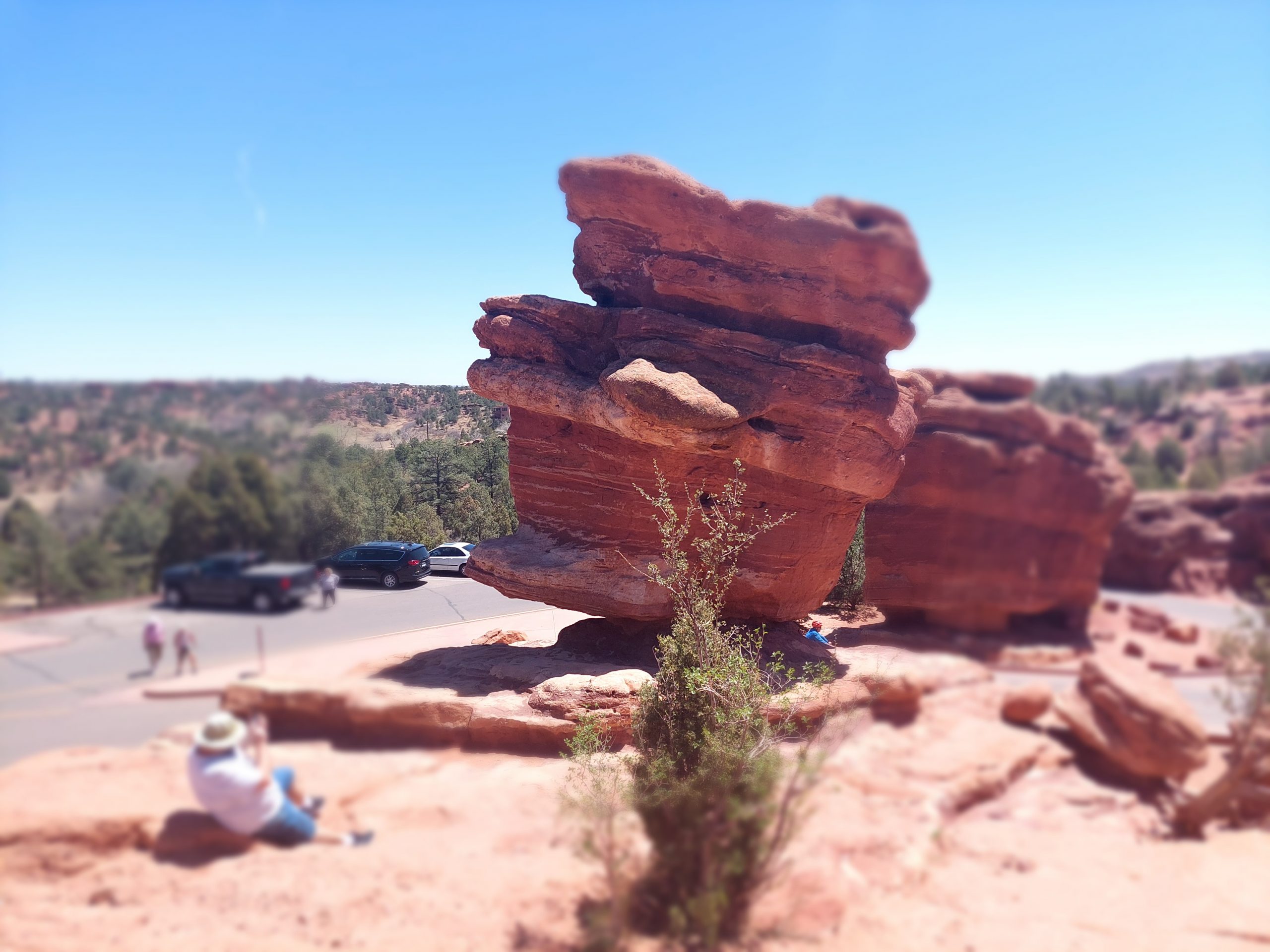
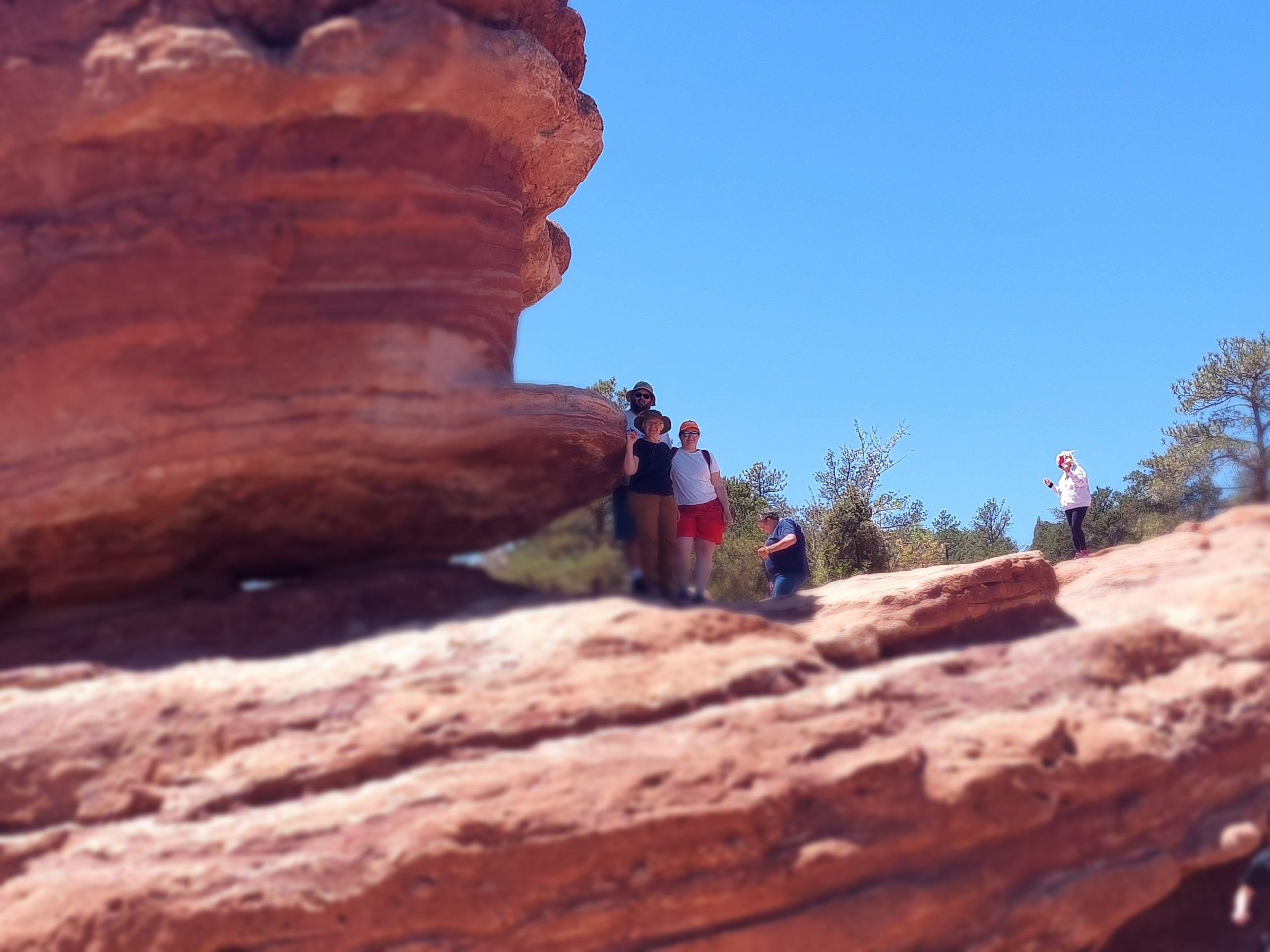
Right about that last photo is where I somehow managed to change my camera settings to a sort of “focus” effect, which made these last few a bit odd but hey, these are the photos I got:
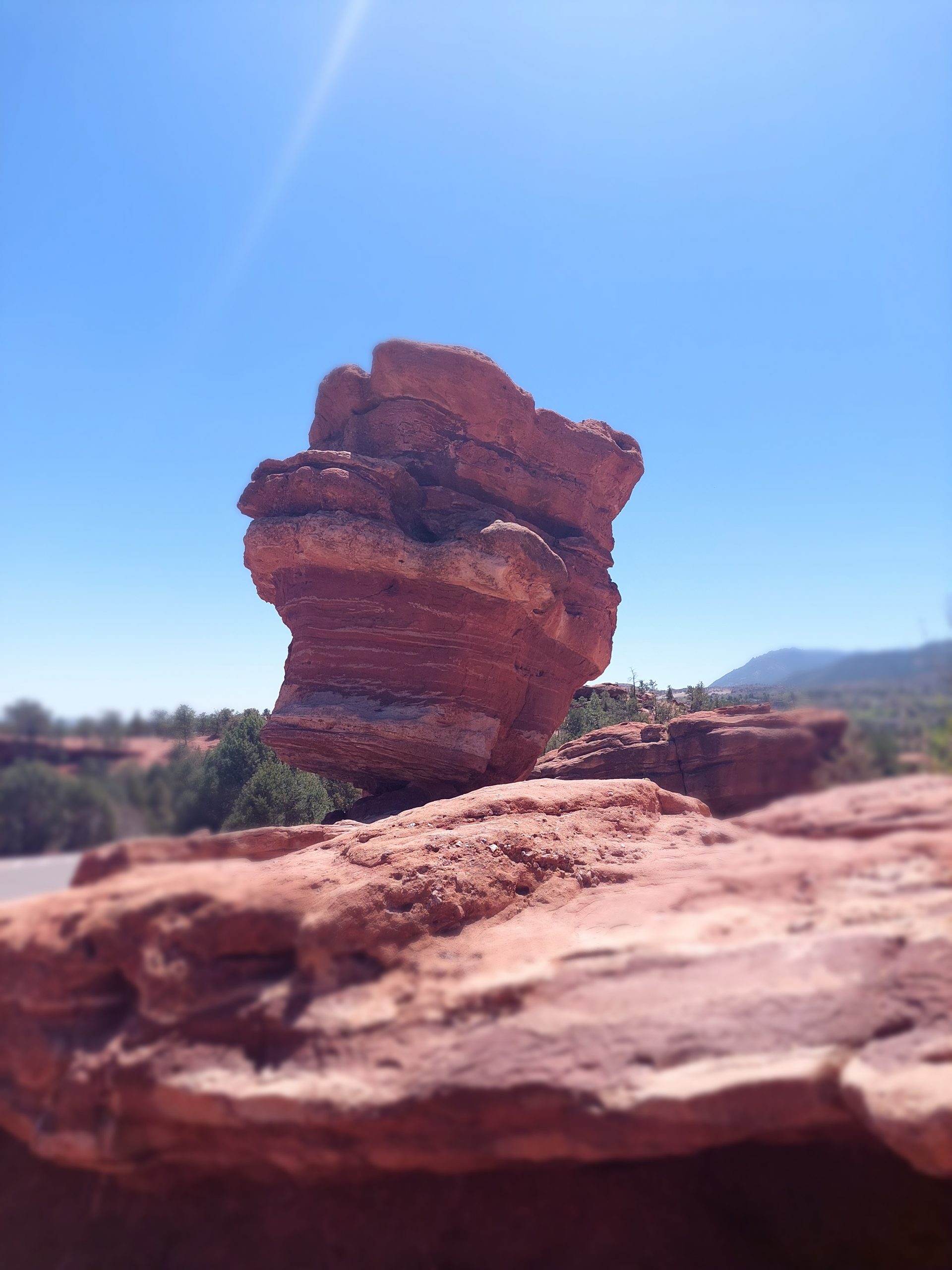
Balanced RockKyle And EmmiKyle & EmmiBalanced RockKyle At Balanced RockKyle, Anne & Emmi
And finally, one last shot of Pike’s Peak, from our table at the pub where we had lunch:
Here are a bunch of photos from our first days in Colorado…
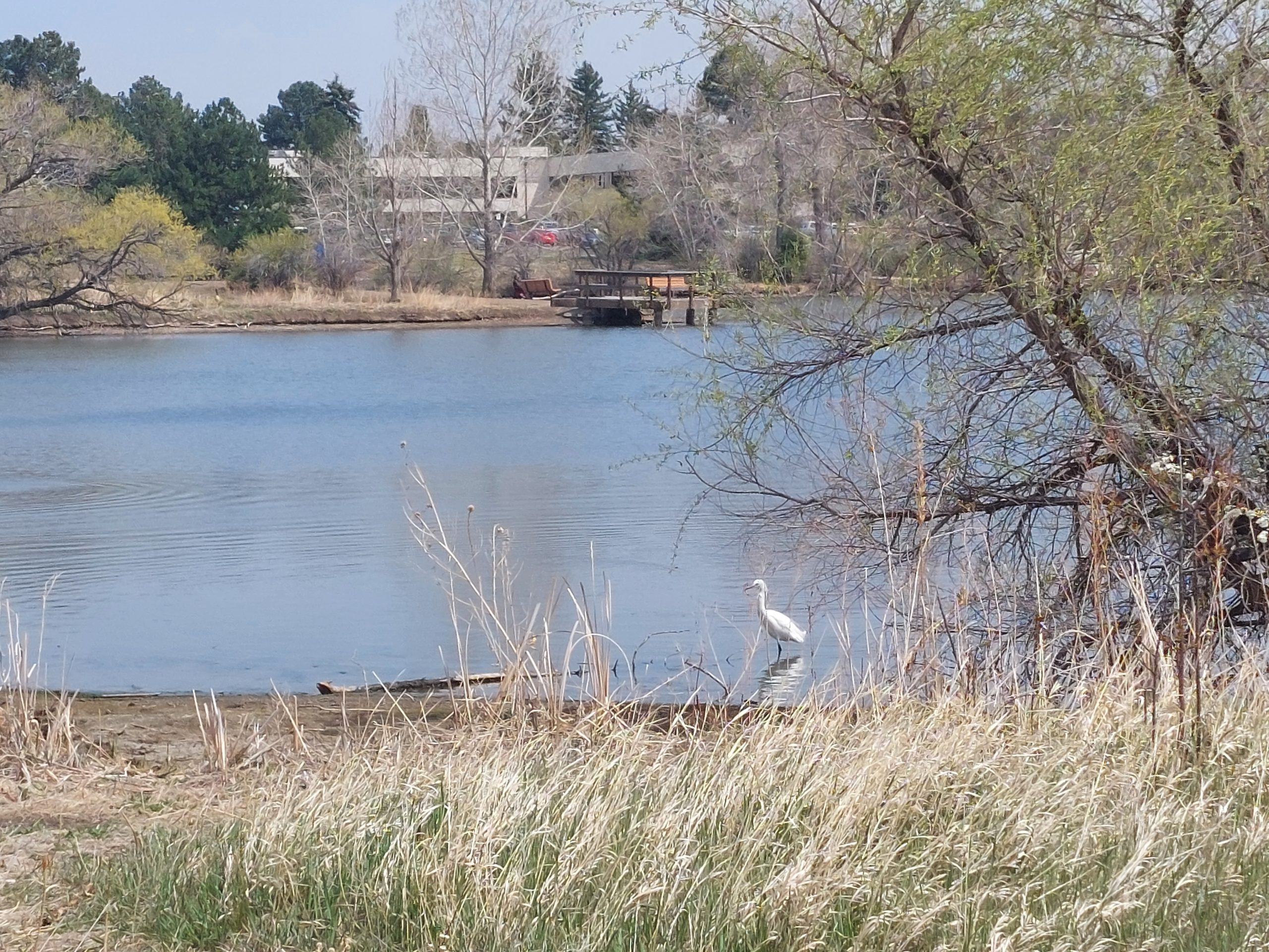
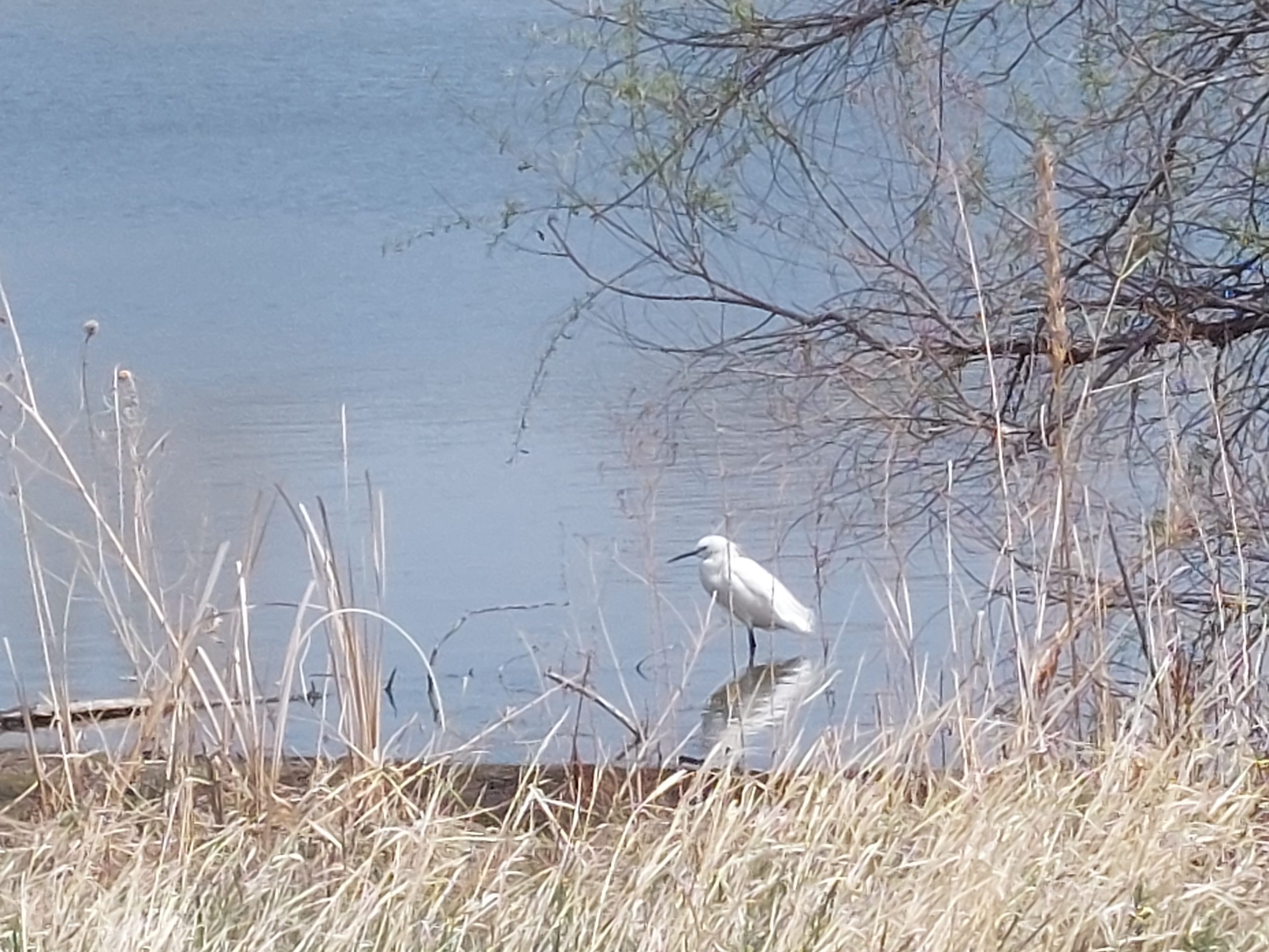
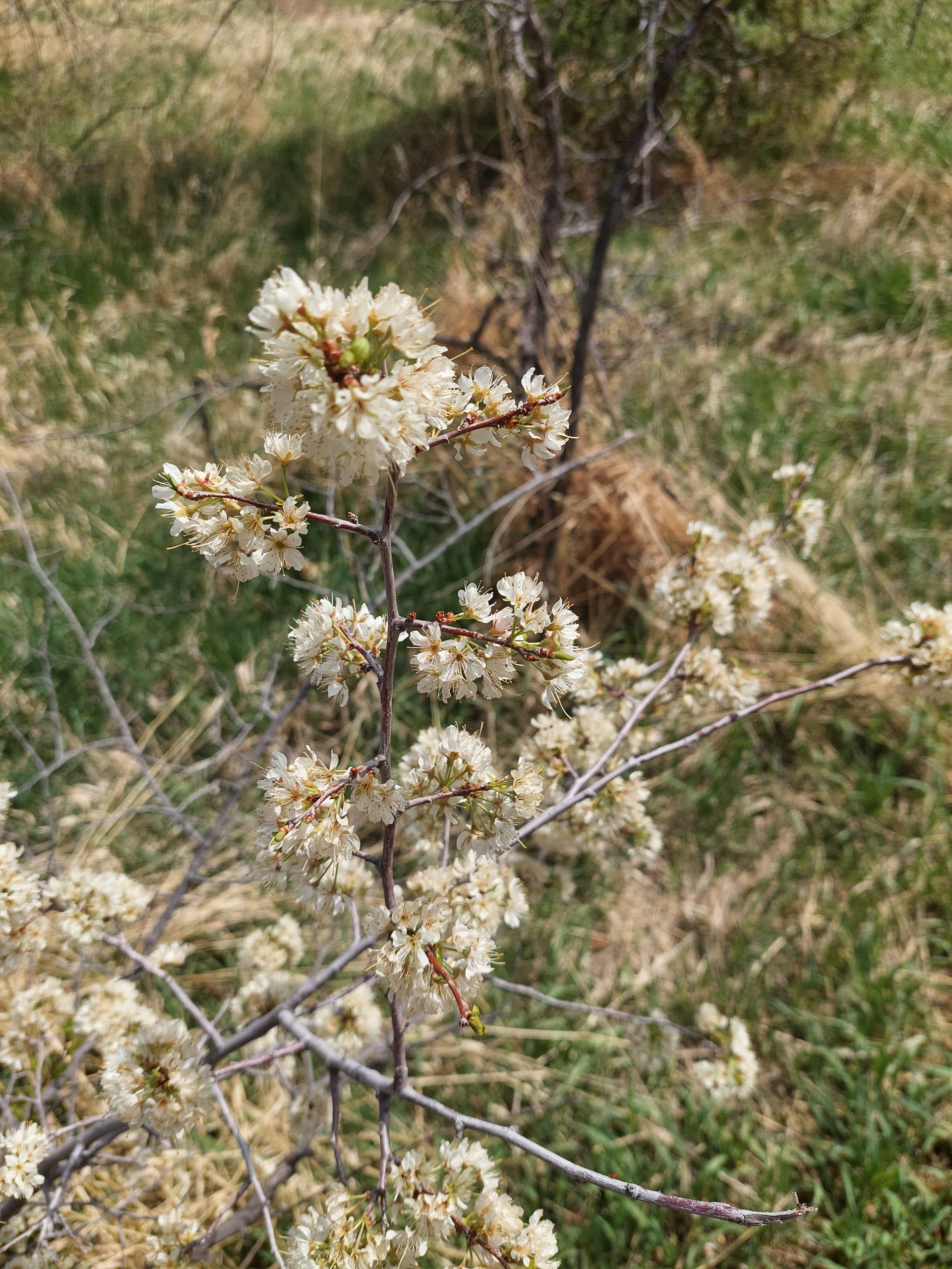
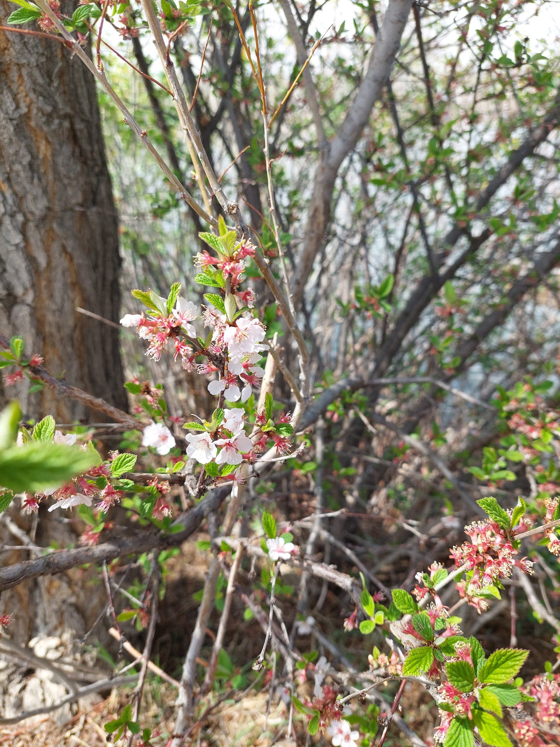
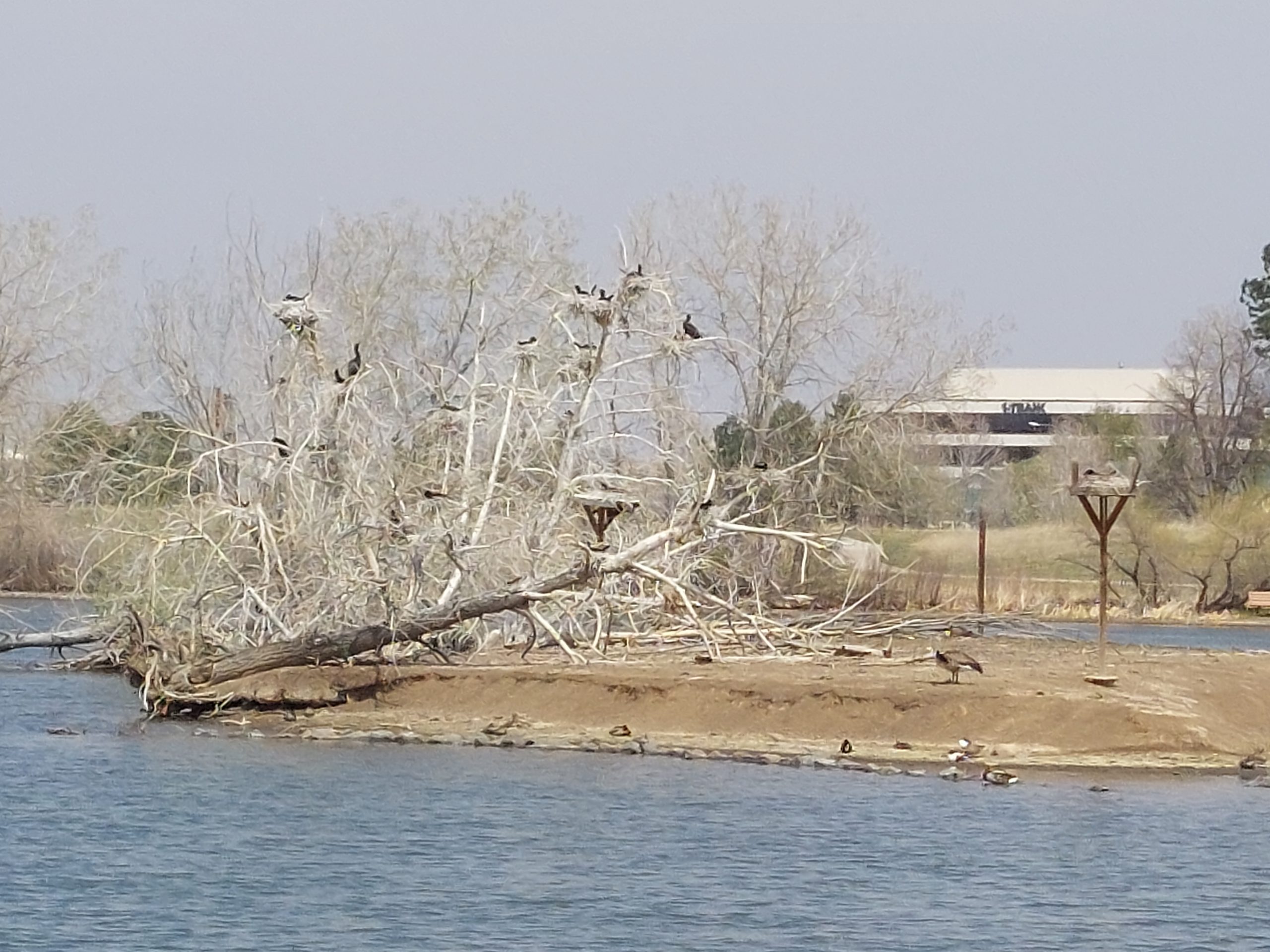
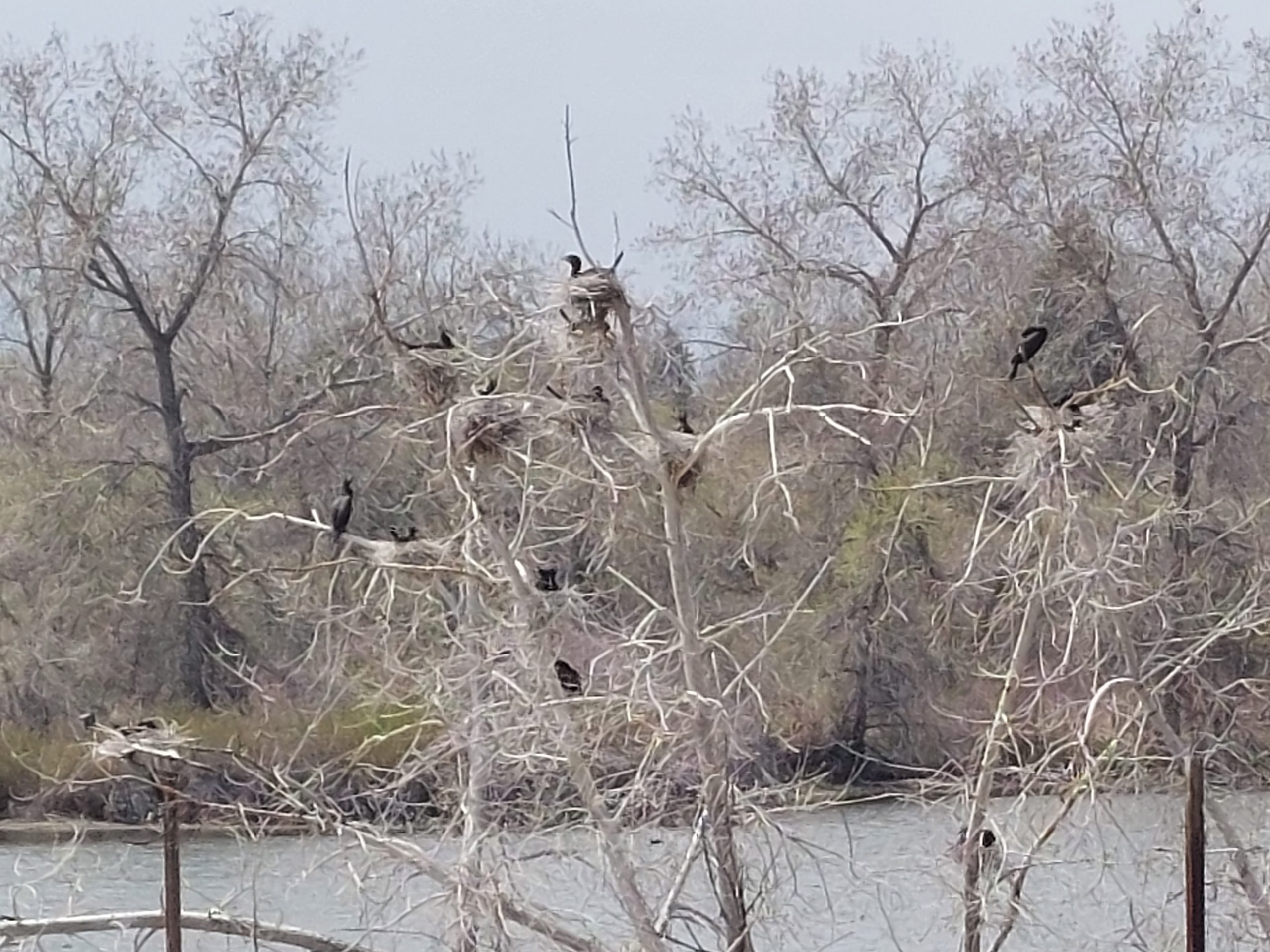
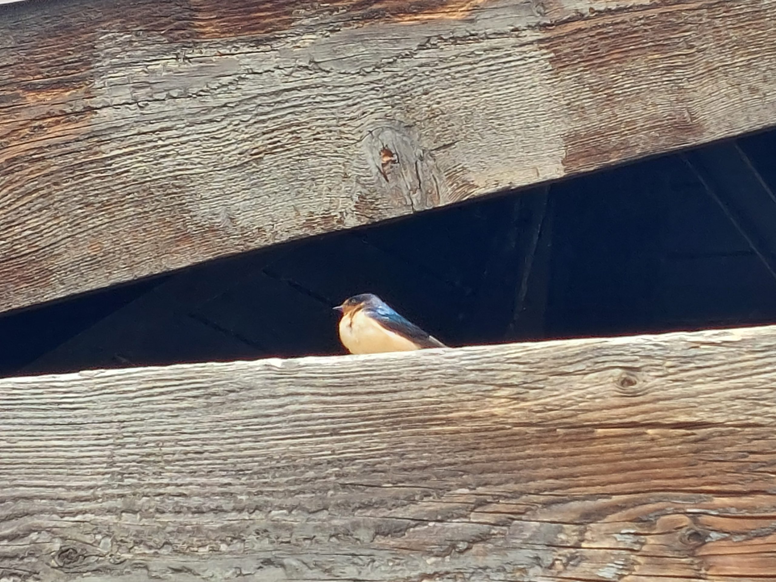
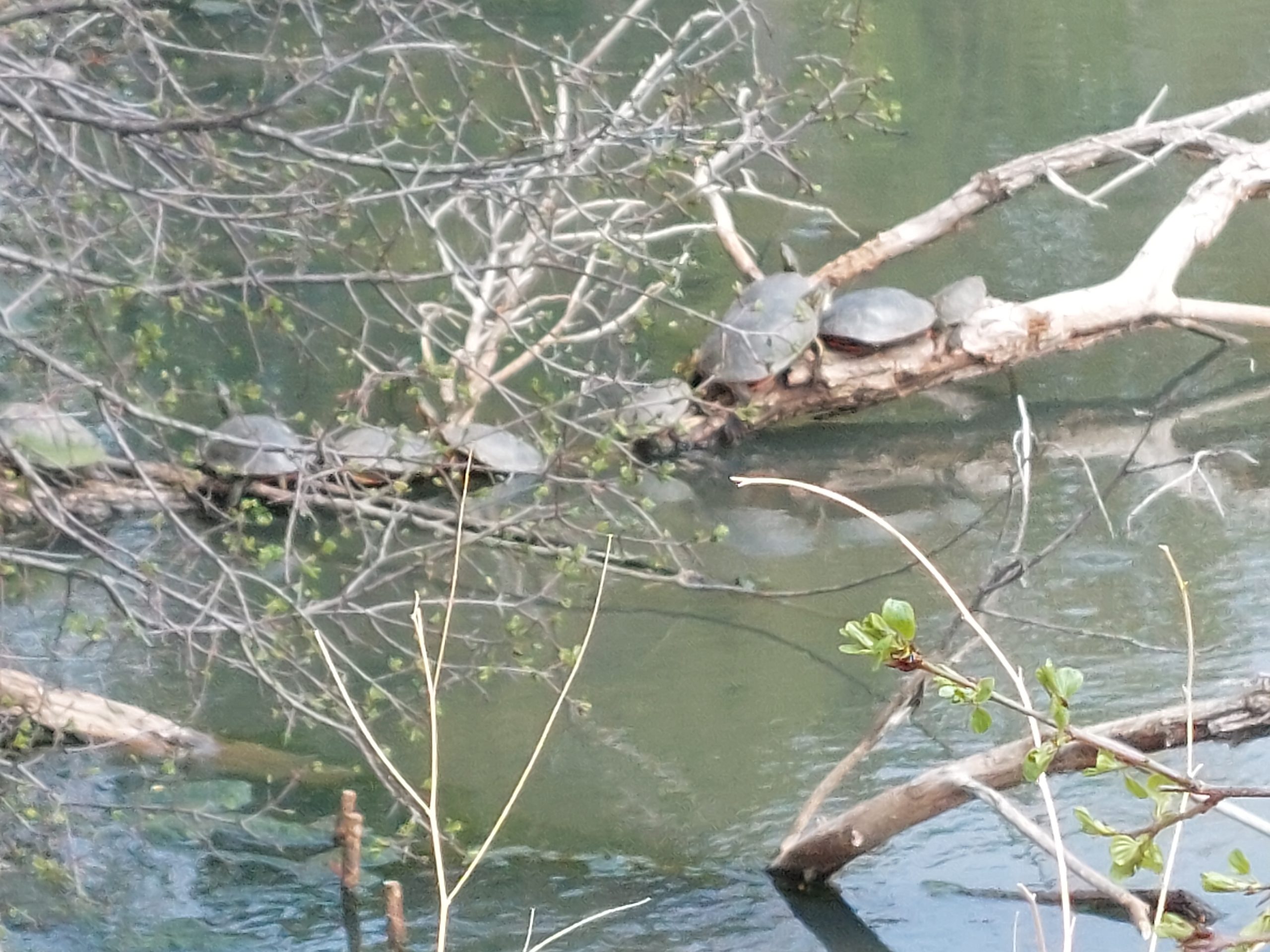
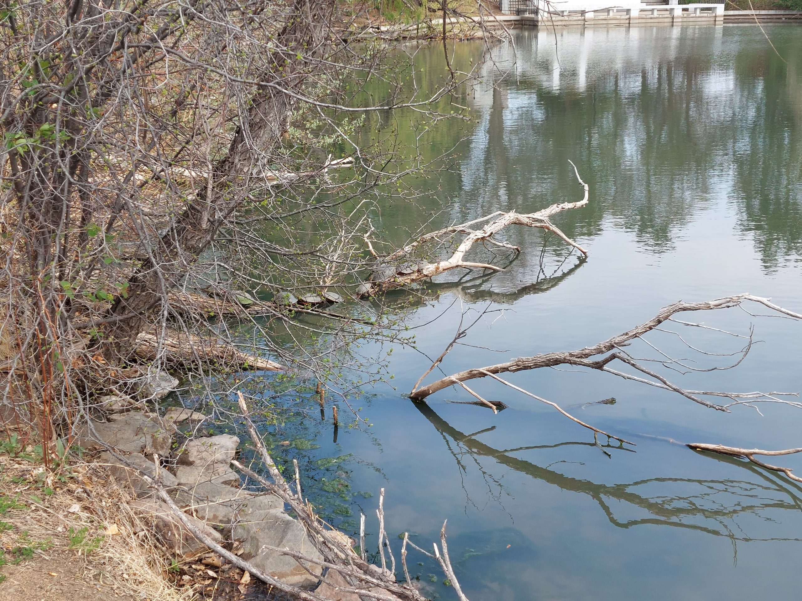
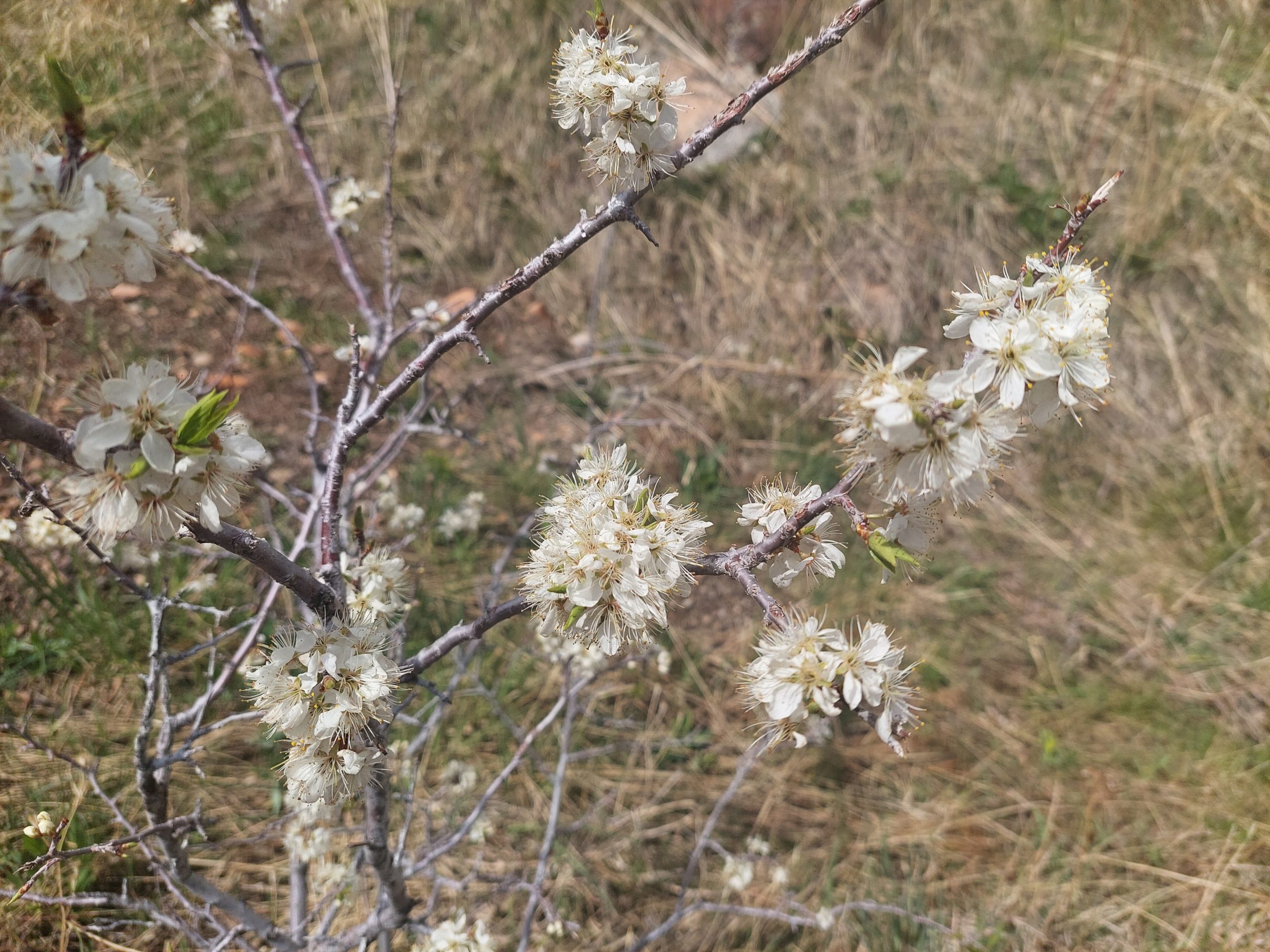
Our first day in town we had some time to kill, but not a whole lot so we just went for a walk around the lake at Belmar Park. There were plenty of flowers and trees starting to bloom, and an enormous number of birds.
EgretEgretFlowersBlossoms (Apple?)Nesting CormorantsBlossomsNesting CormorantsA BirdStriking A PoseBeautiful PlumageTurtlesTurtles On A Log
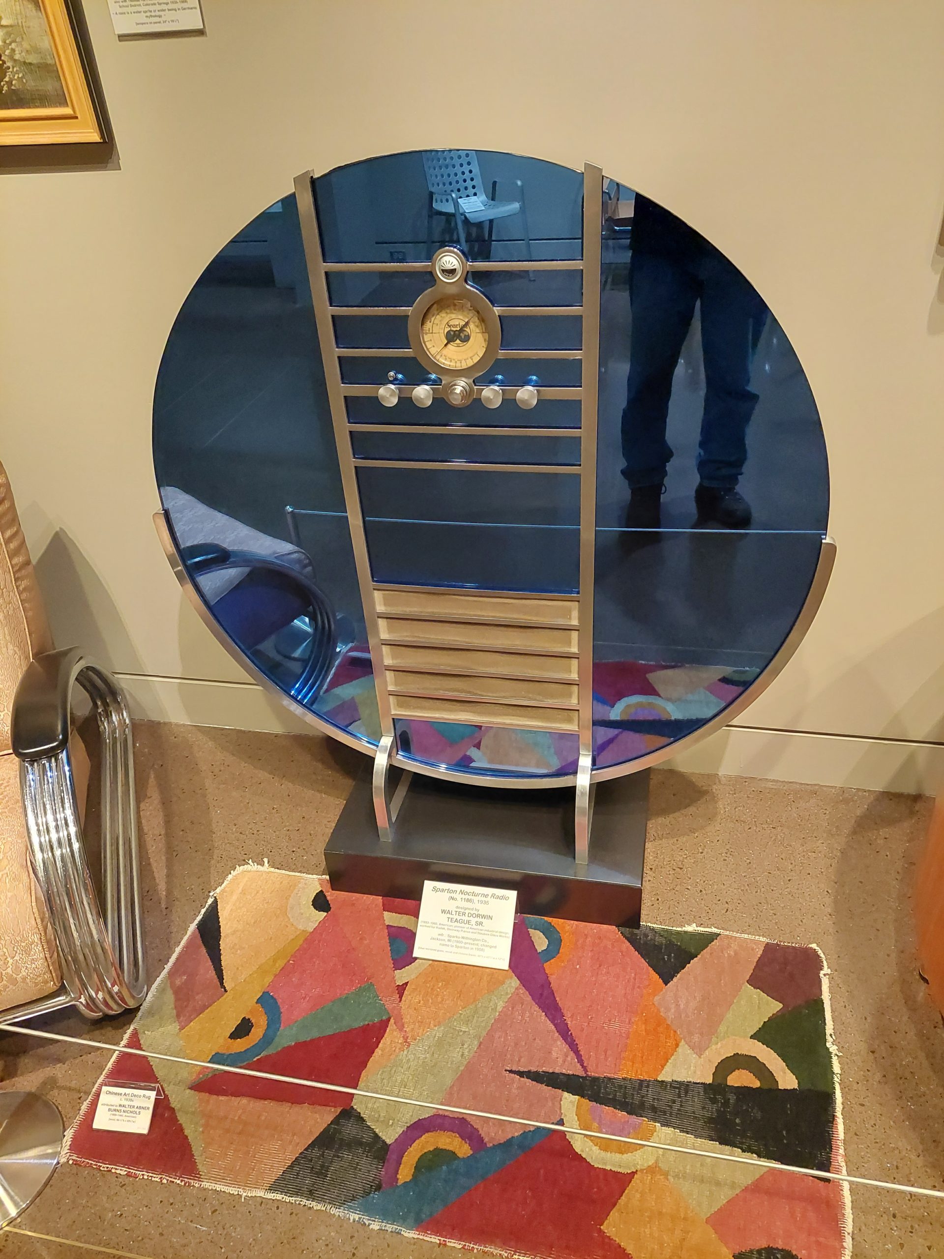
This museum was based on Colorado artist Vance Kirkland and his work, but had a whole collection of furniture and other decorative arts objects in various styles (Arts & Crafts, Bauhaus, Art Deco etc). The place was awesome.
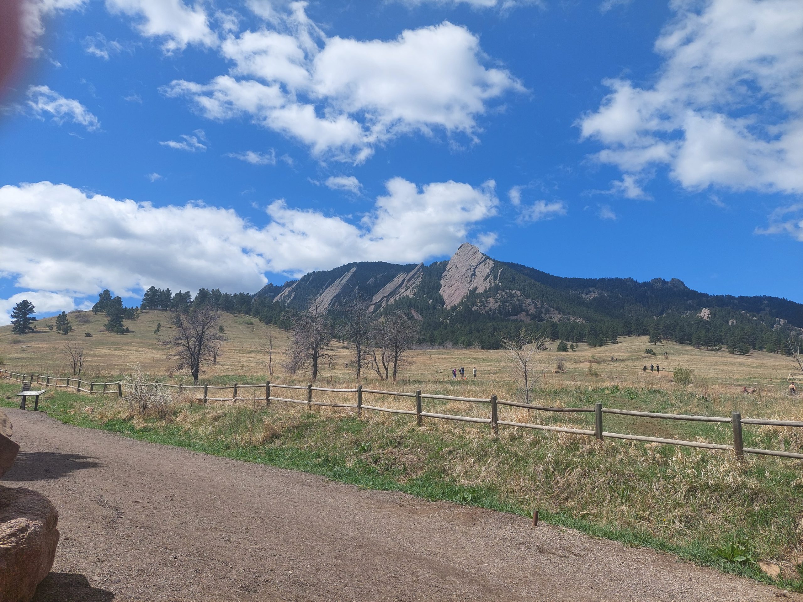
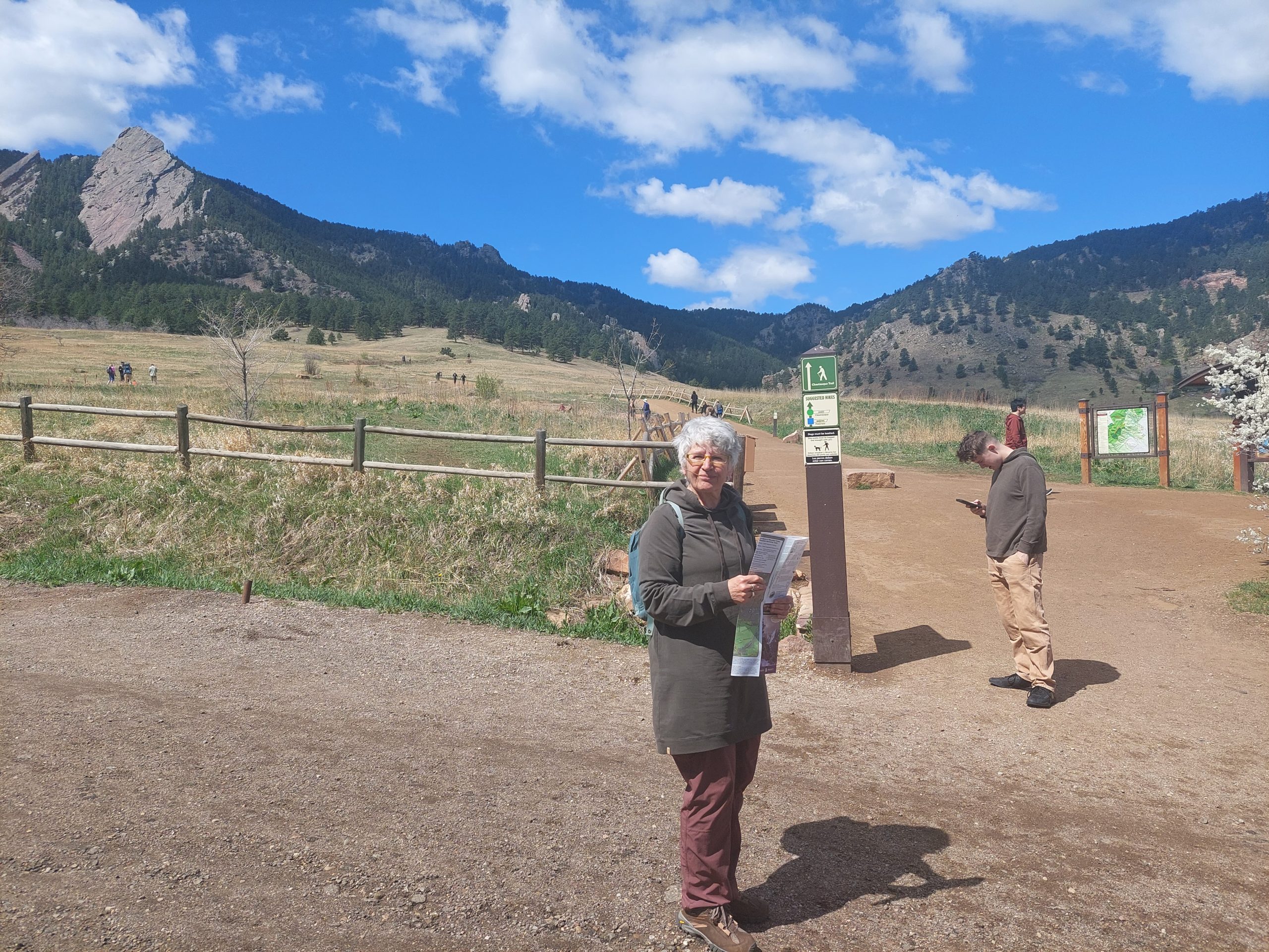
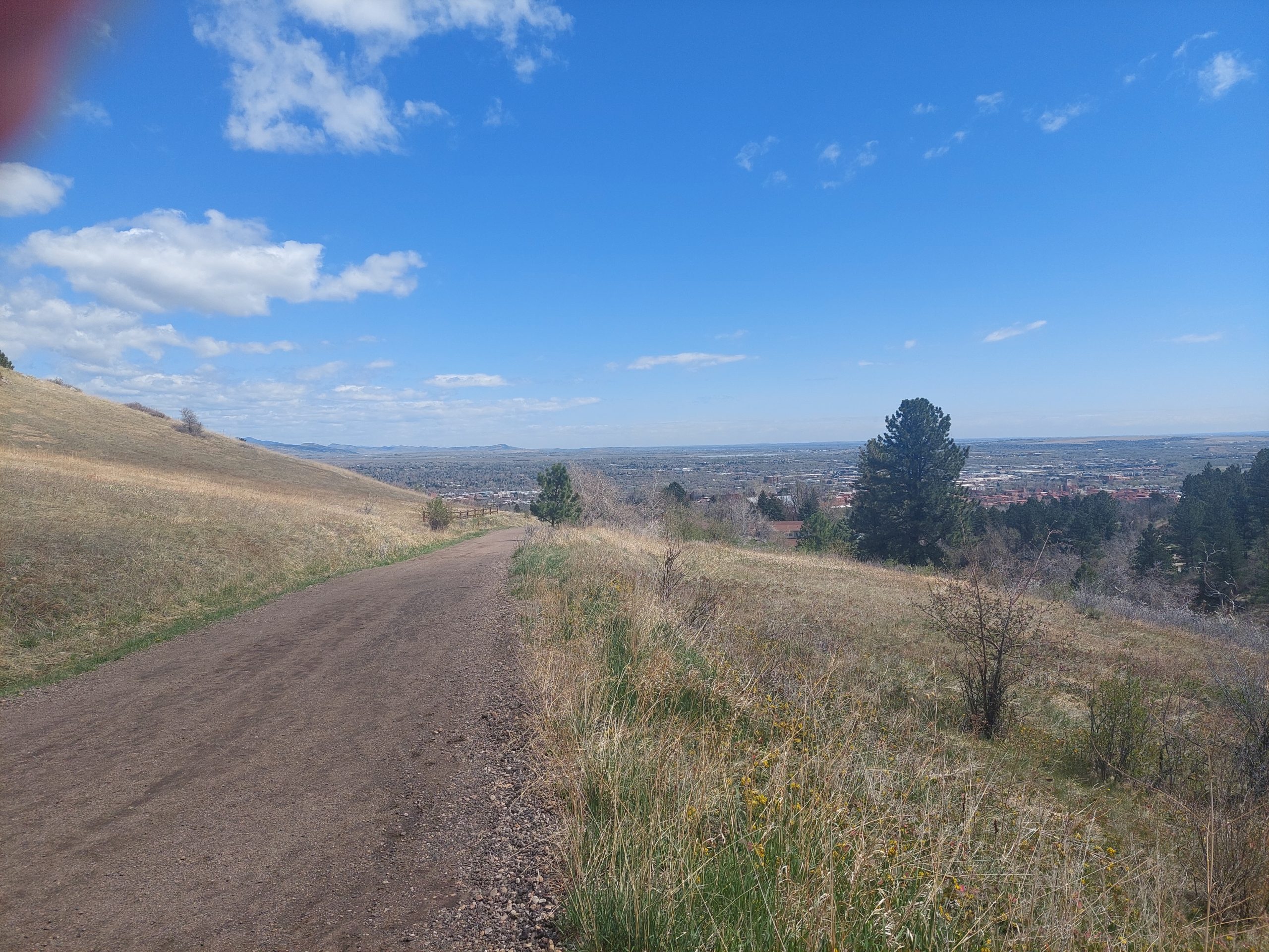
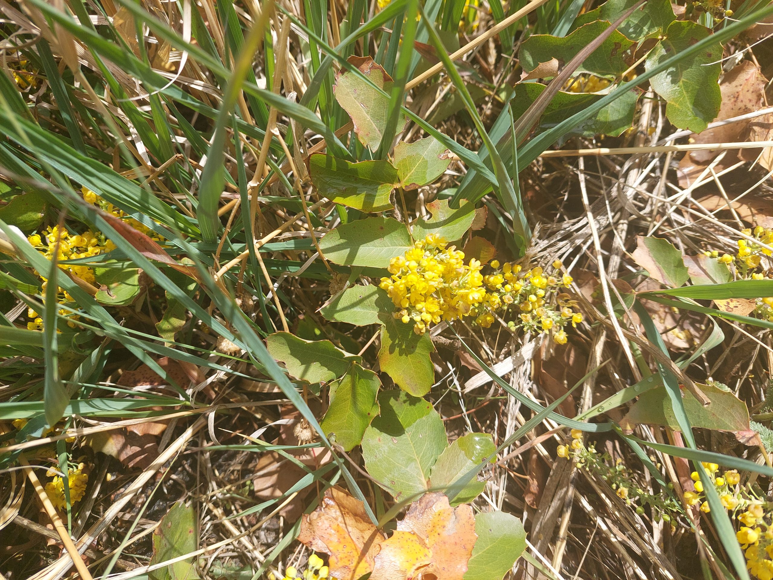
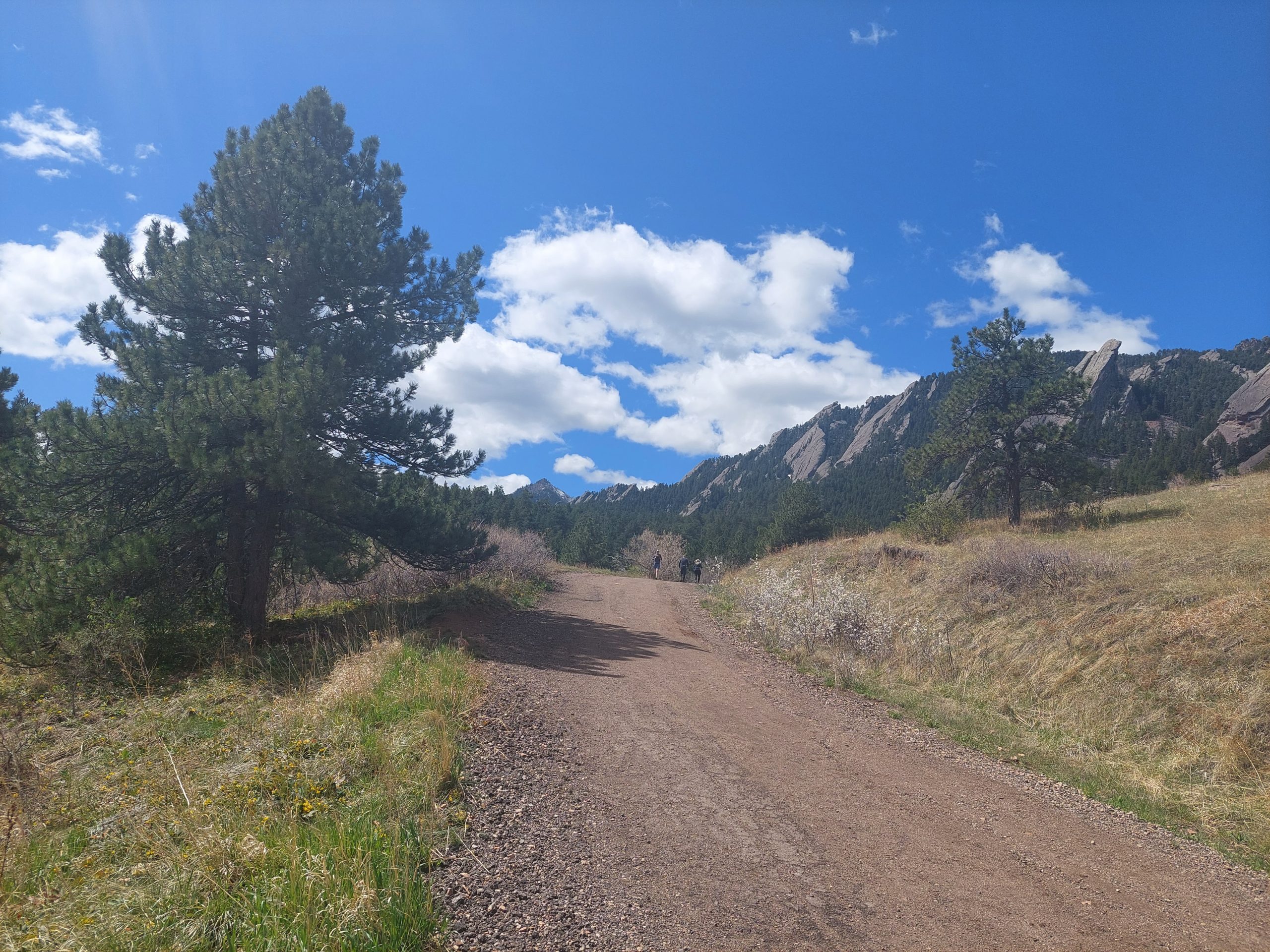
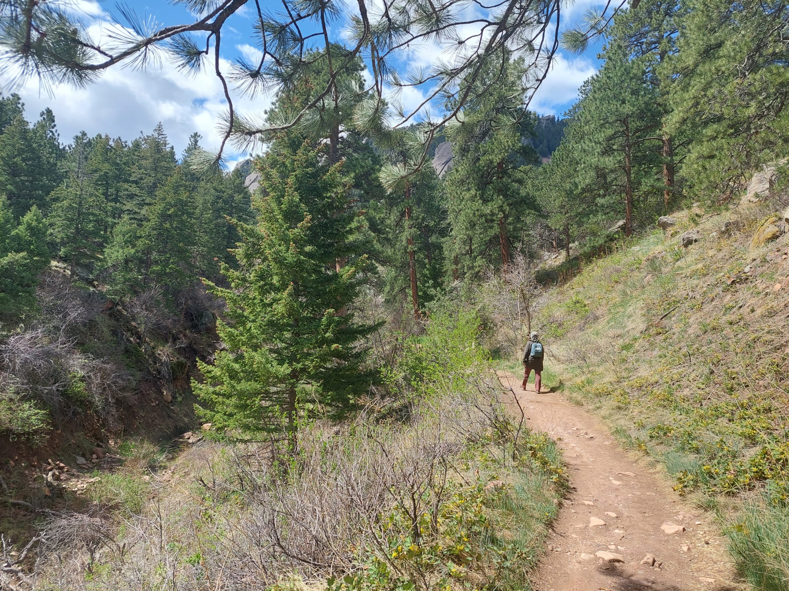
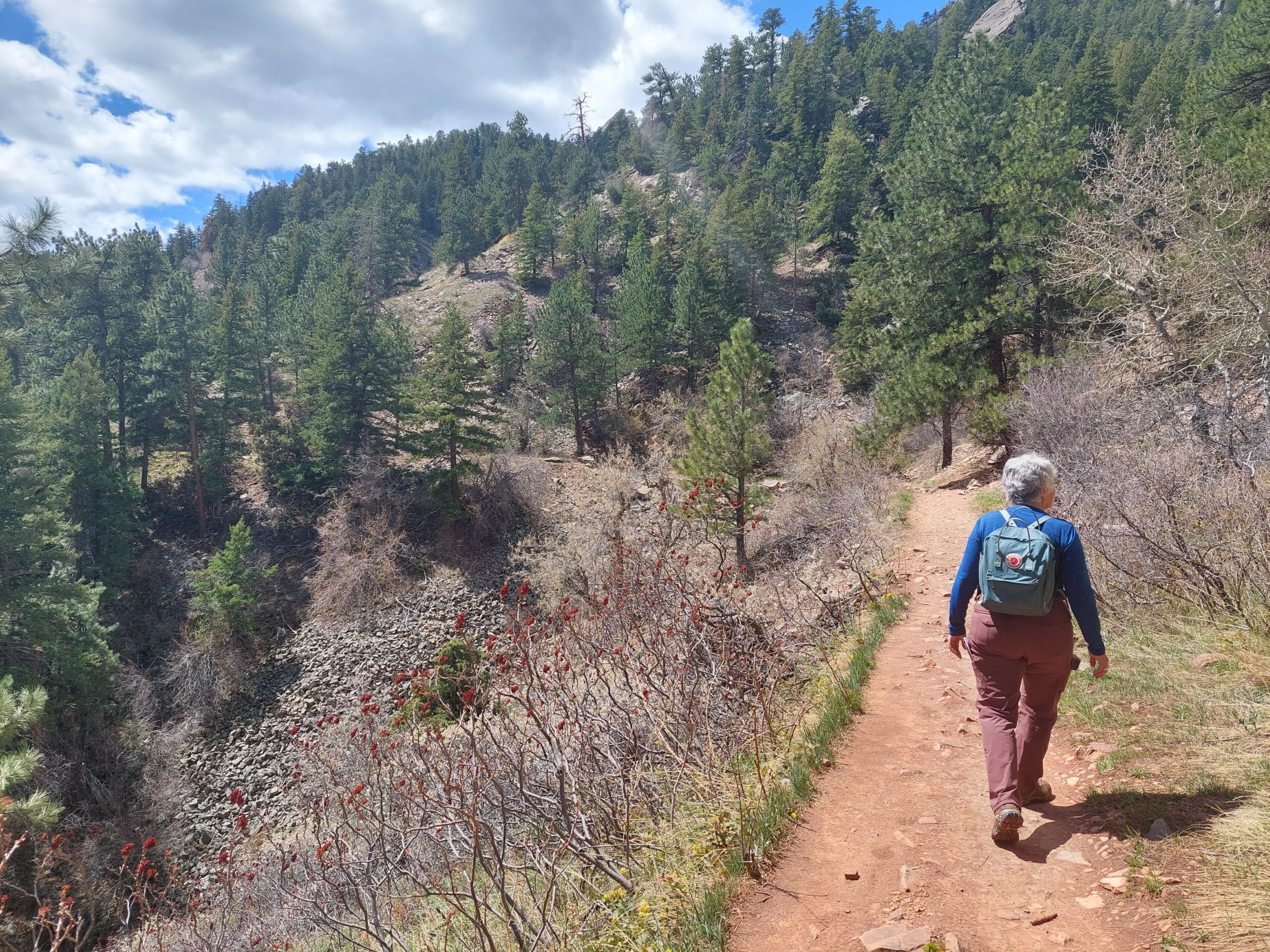
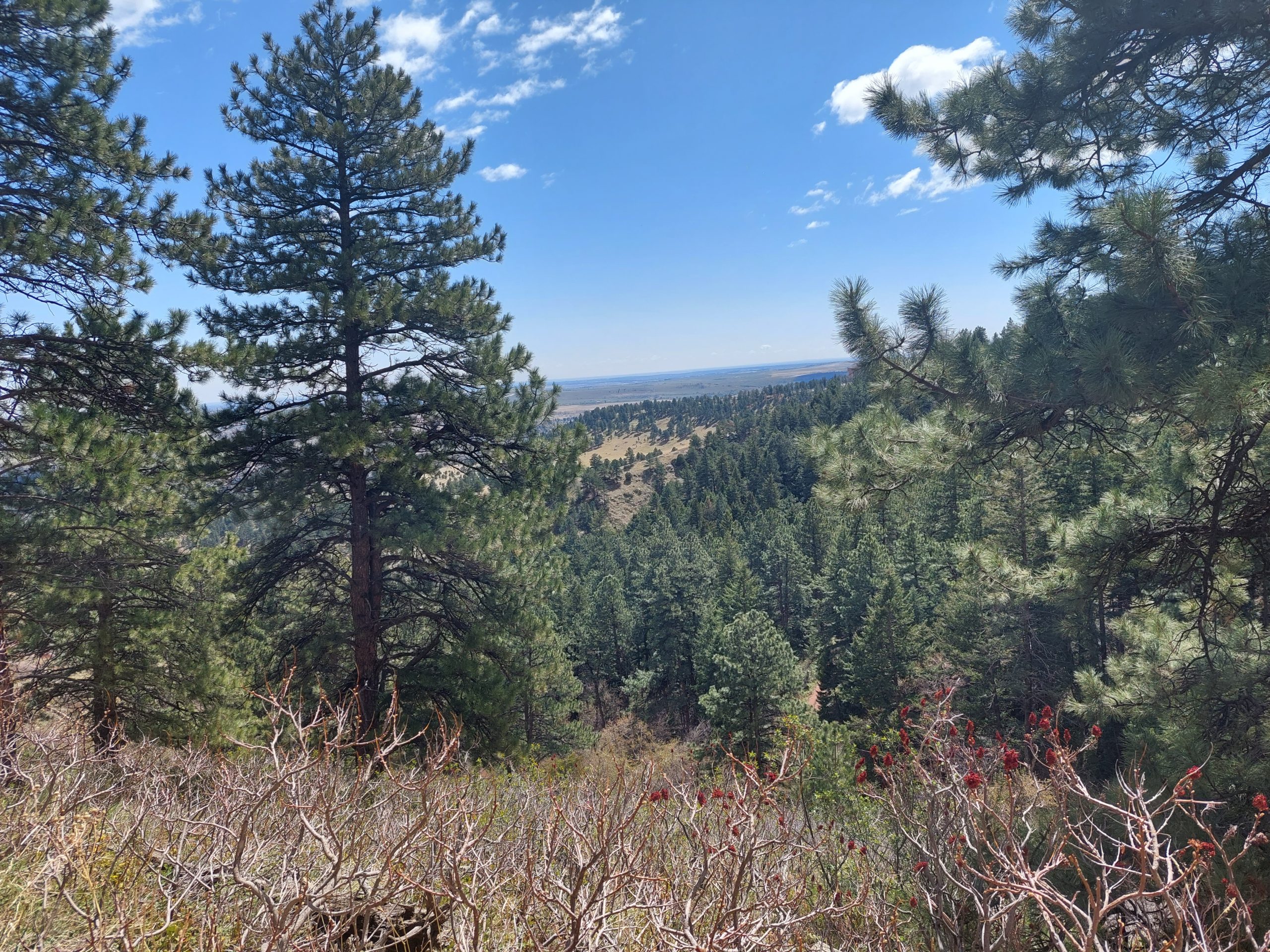
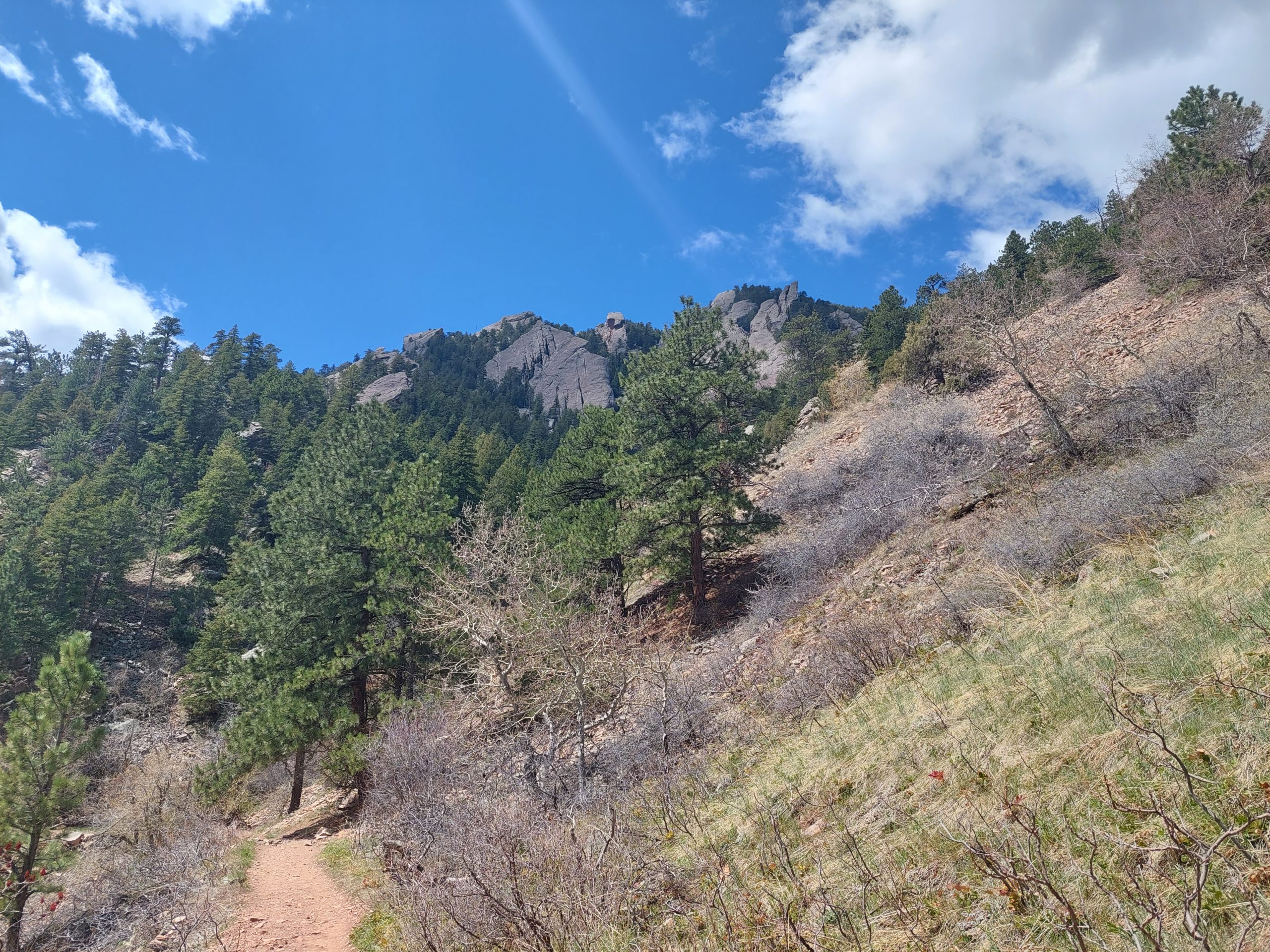
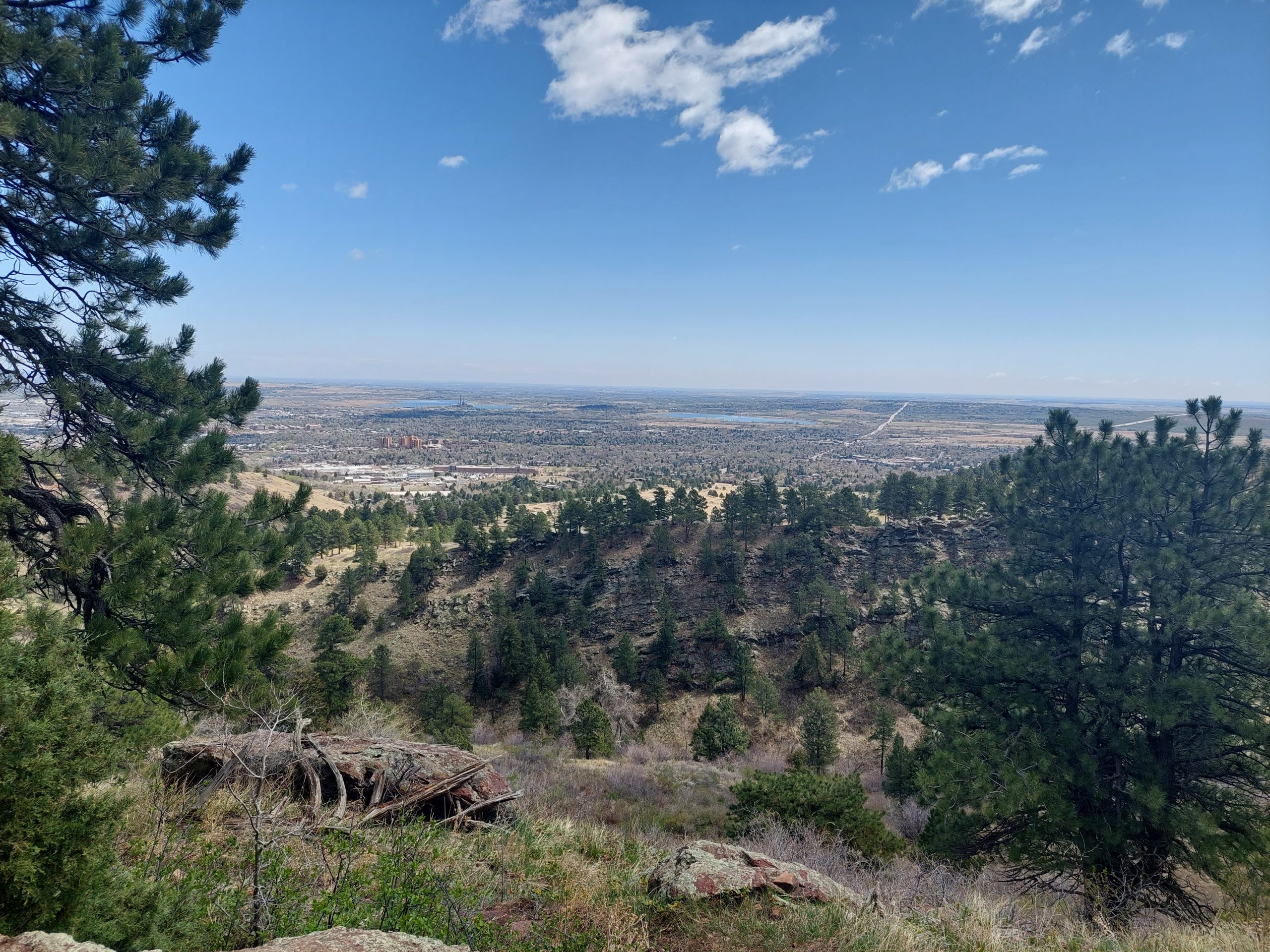
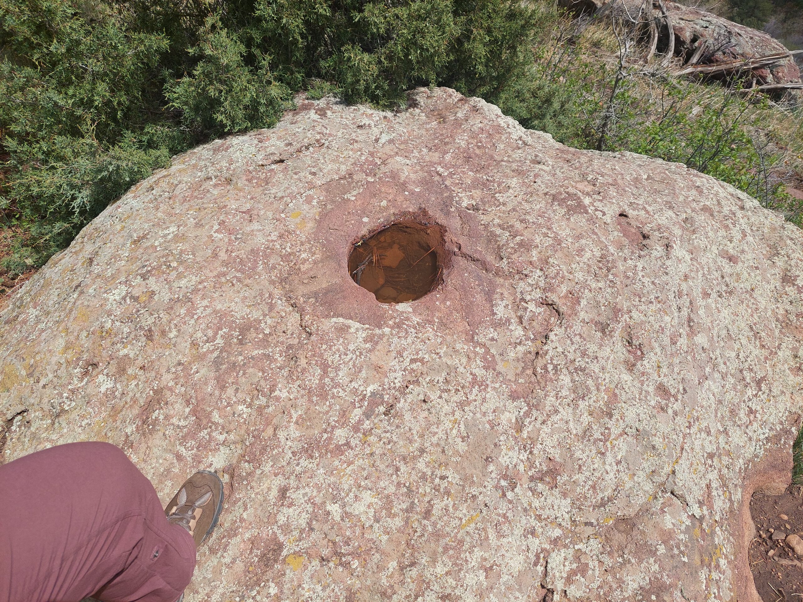
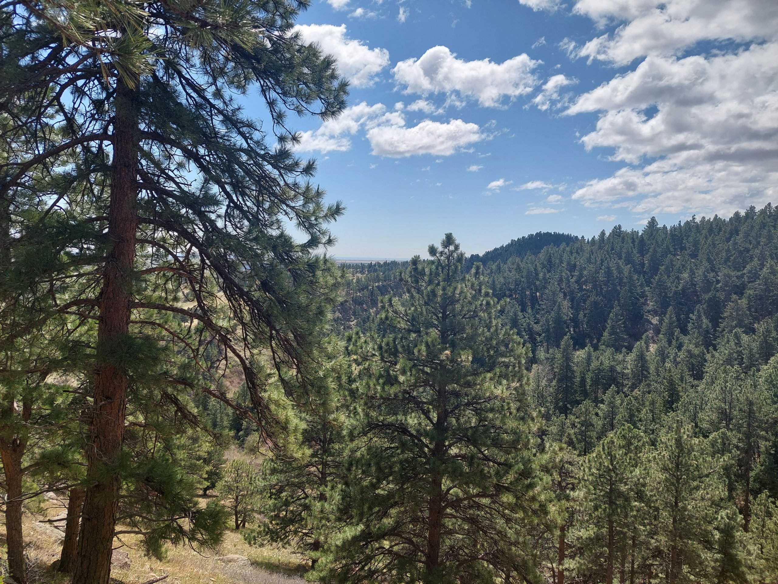
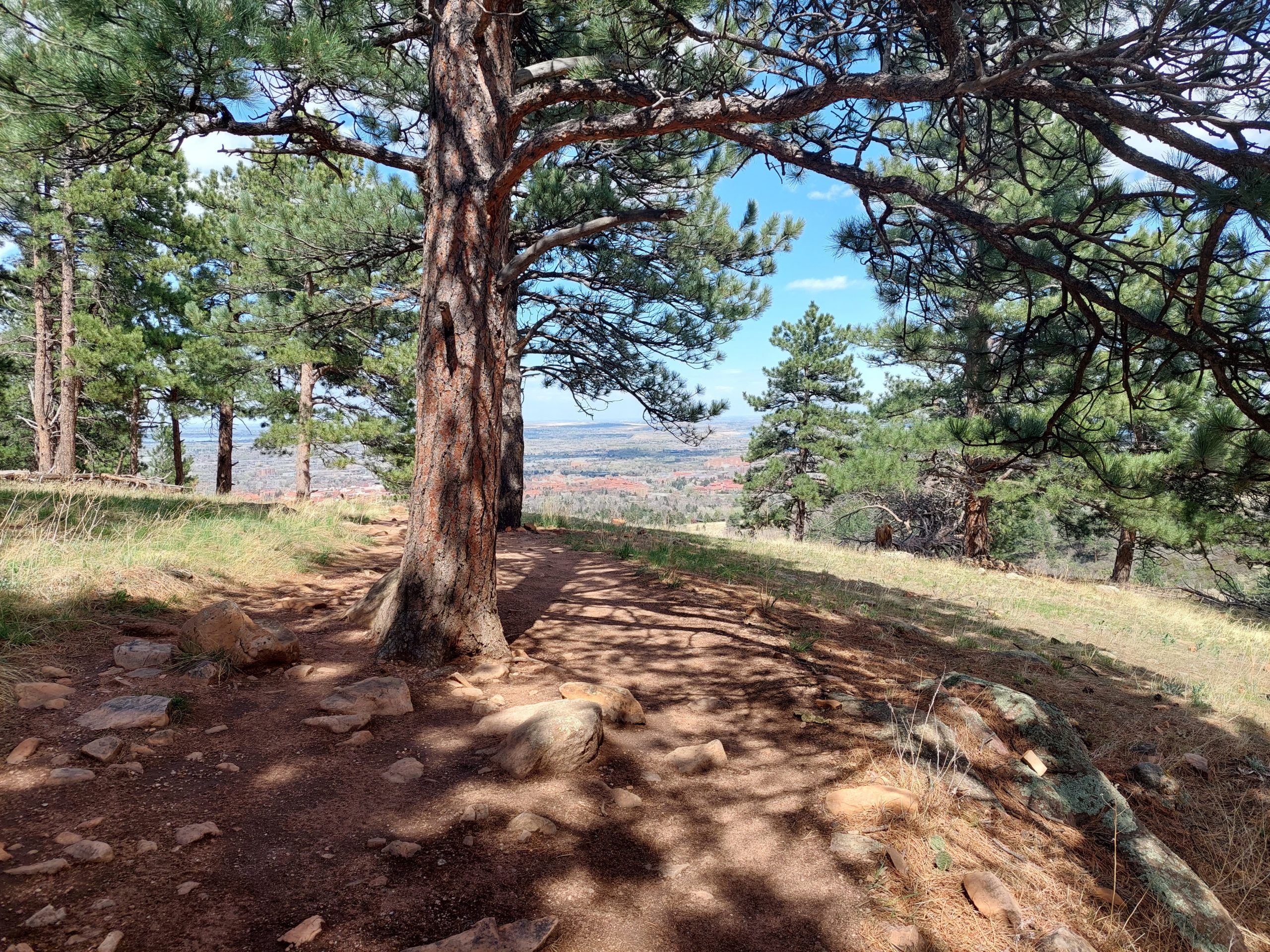
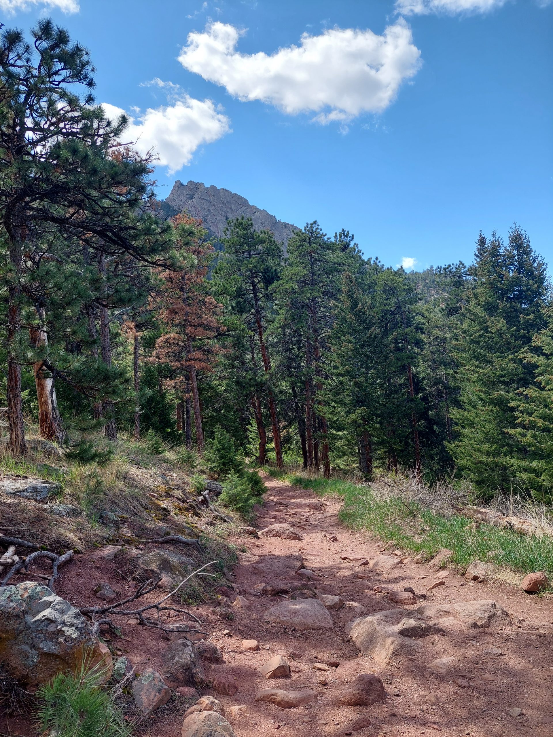
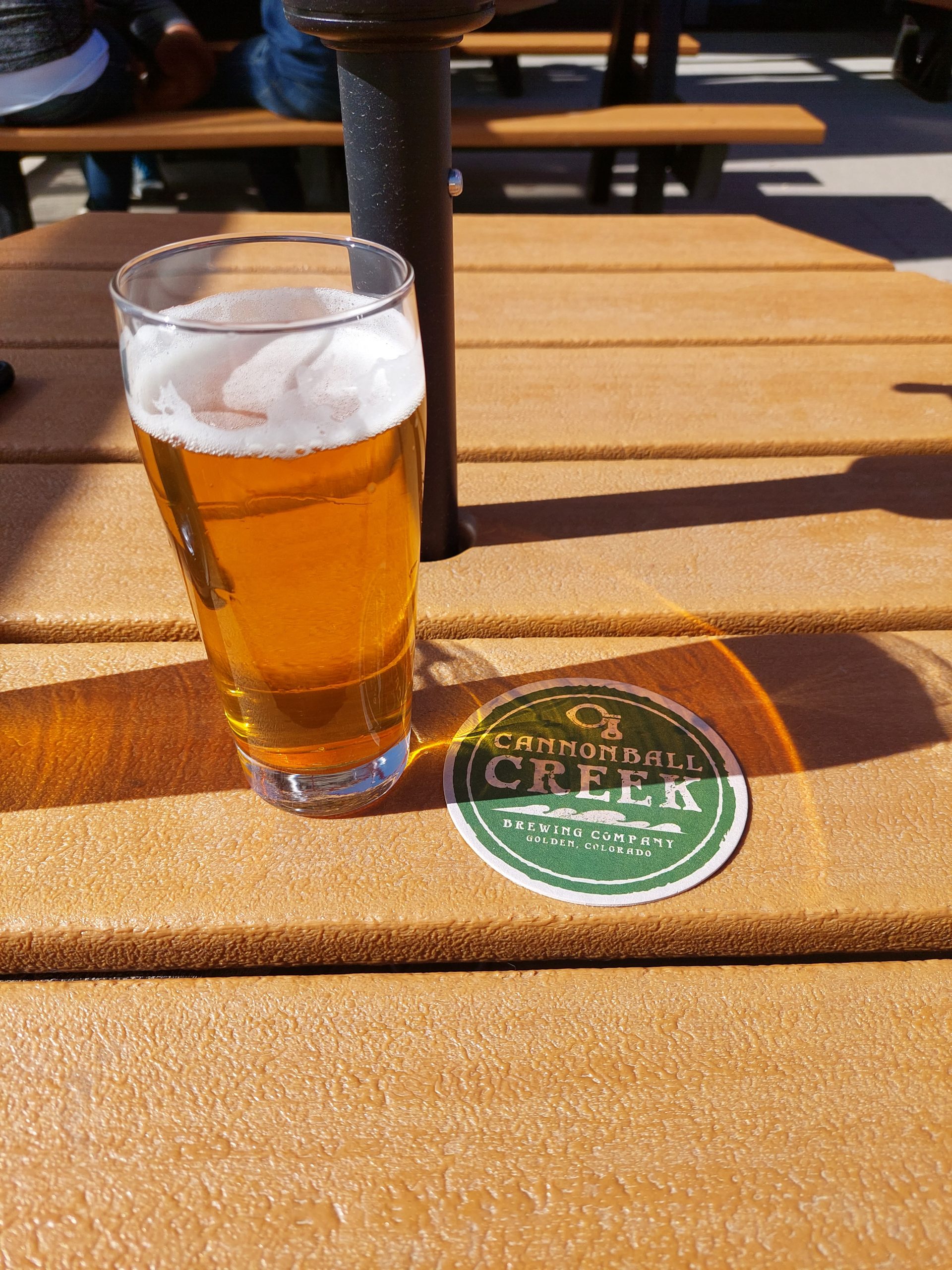
Thursday was nice, so we went to Boulder and hiked the trails near the Flatirons. We started at Chautauqua Park, and hiked over to the NCAR Mesa Laboratory (where we’d hiked on our last visit). Dinner was at a brewpub in Golden, a place called Cannonball Creek. They had some really good beer, and were in the process of winning an international beer competition while we were there — it was on the TV, some guy droning out the winners of all the various styles like the most boring Academy Awards ever, but the bar was going nuts like it was the Superbowl, cheering and groaning for local favorites or rivals, and they went absolutely crazy whenever Cannonball Creek won. We sat outside, away from the noise, and got nachos from the food truck.
The FlatironsAnne At The TrailheadBoulder (And Denver) In The DistanceBlooming PlantBluebell Road And The FlatironsMore BlossomsAnne On Mesa TrailWalking On The TrailVistaMore SlabsMetro Denver In The DistanceA Pothole In The RockVistaLooking At The MountainLooking At BoulderTree TrunksMountain Peak Above The PinesA Well-Earned Pint
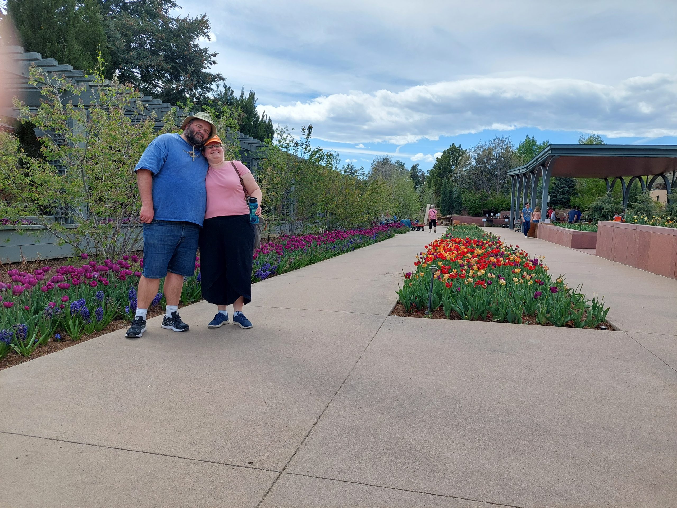
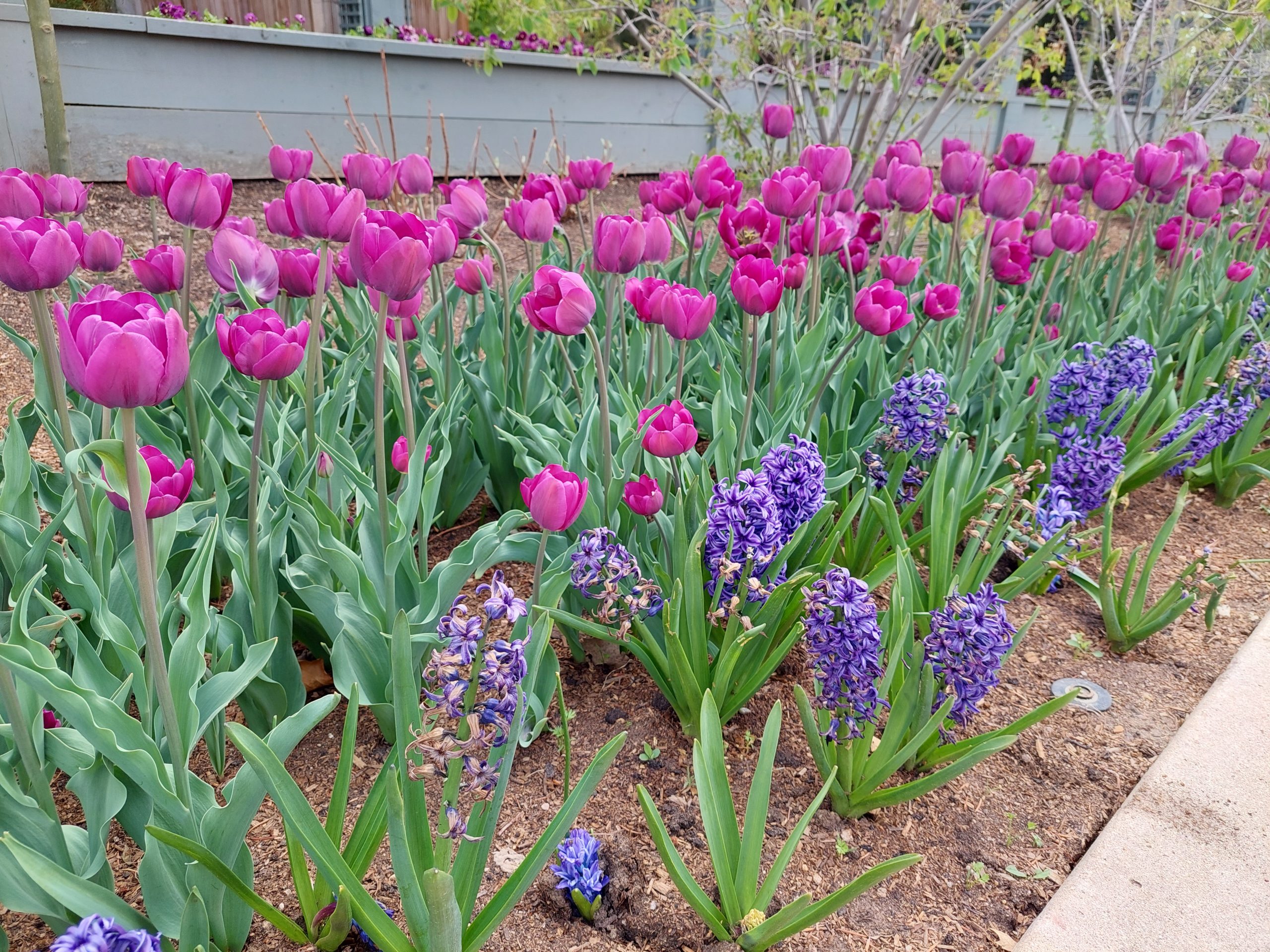
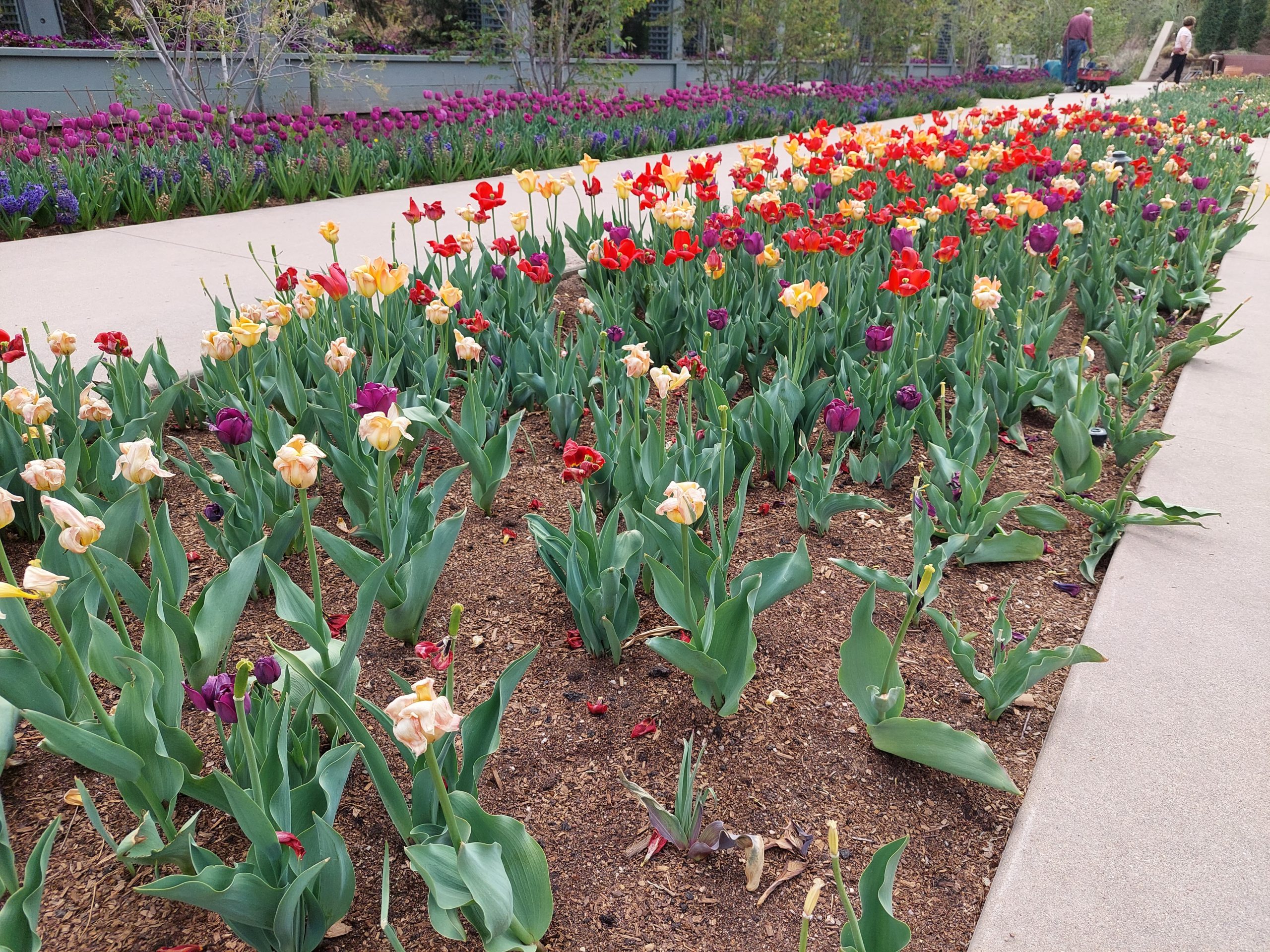
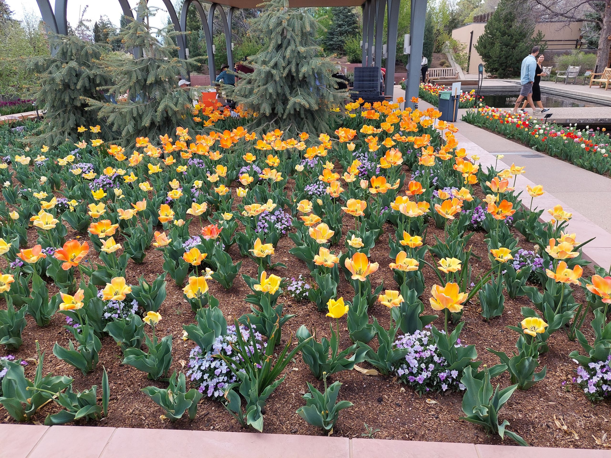
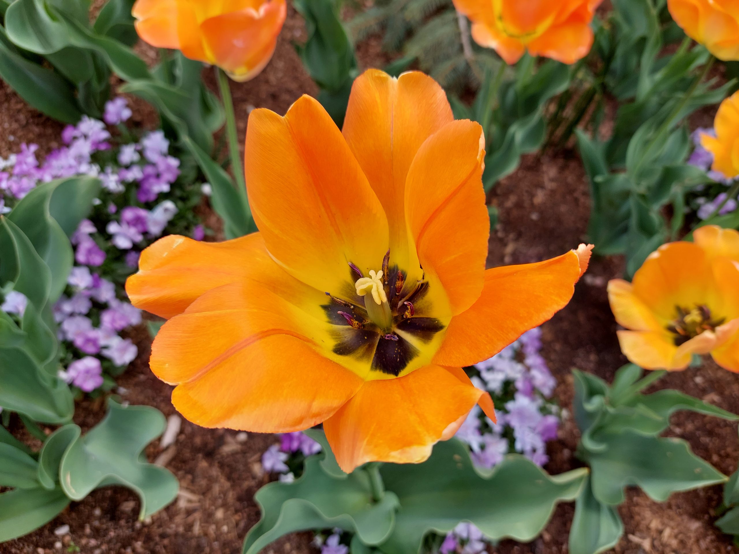
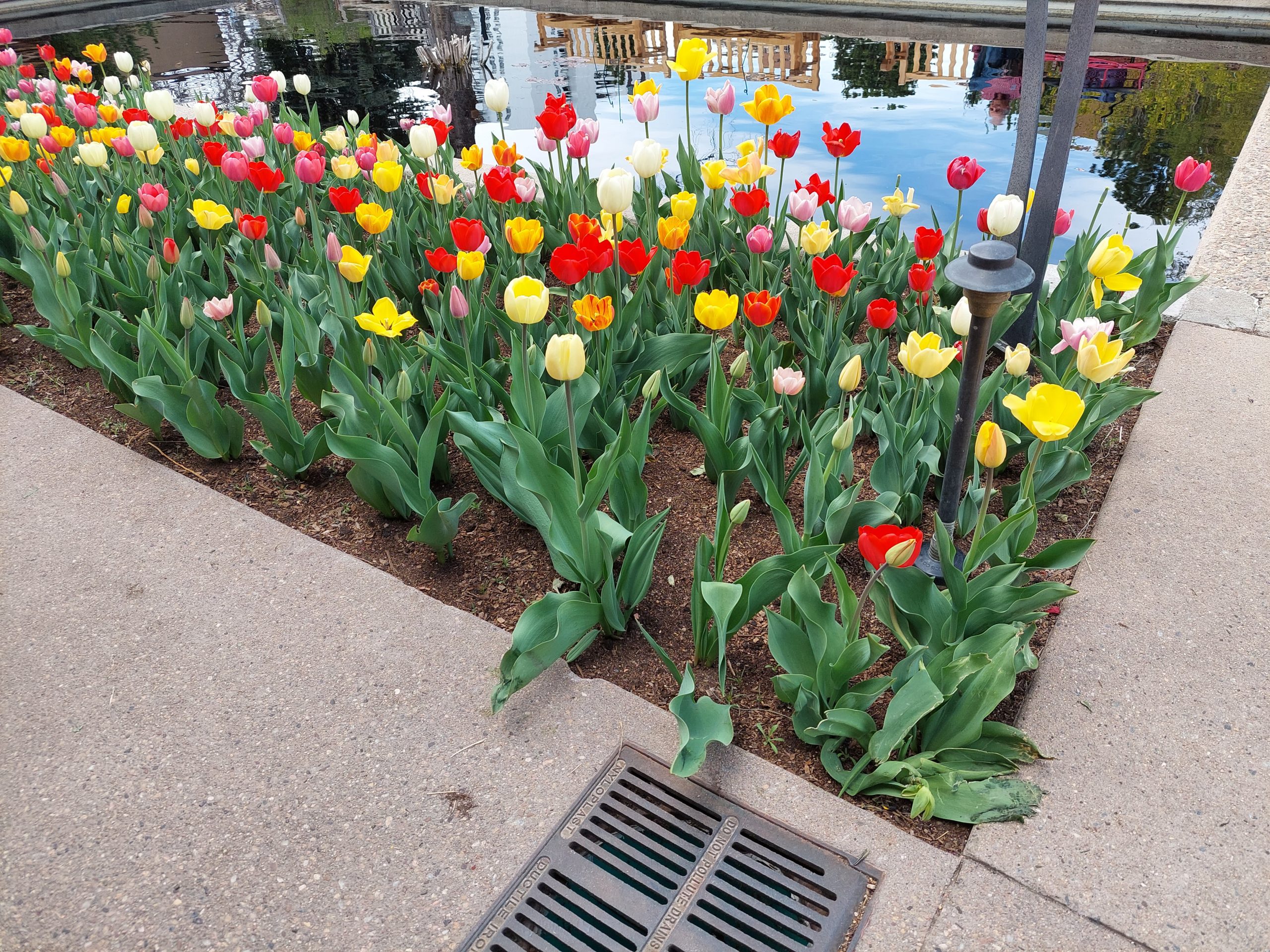
We got to see Emmi and Kyle on Friday, which was awesome — we hadn’t seen them in person for more than two years. The first thing we did together was go to the plant sale at the Denver Botanical Gardens.
Emmi & KyleFlowersTulipsFlowersInside The FlowerMore TulipsBlue Flowers And BeesBlue Flowers
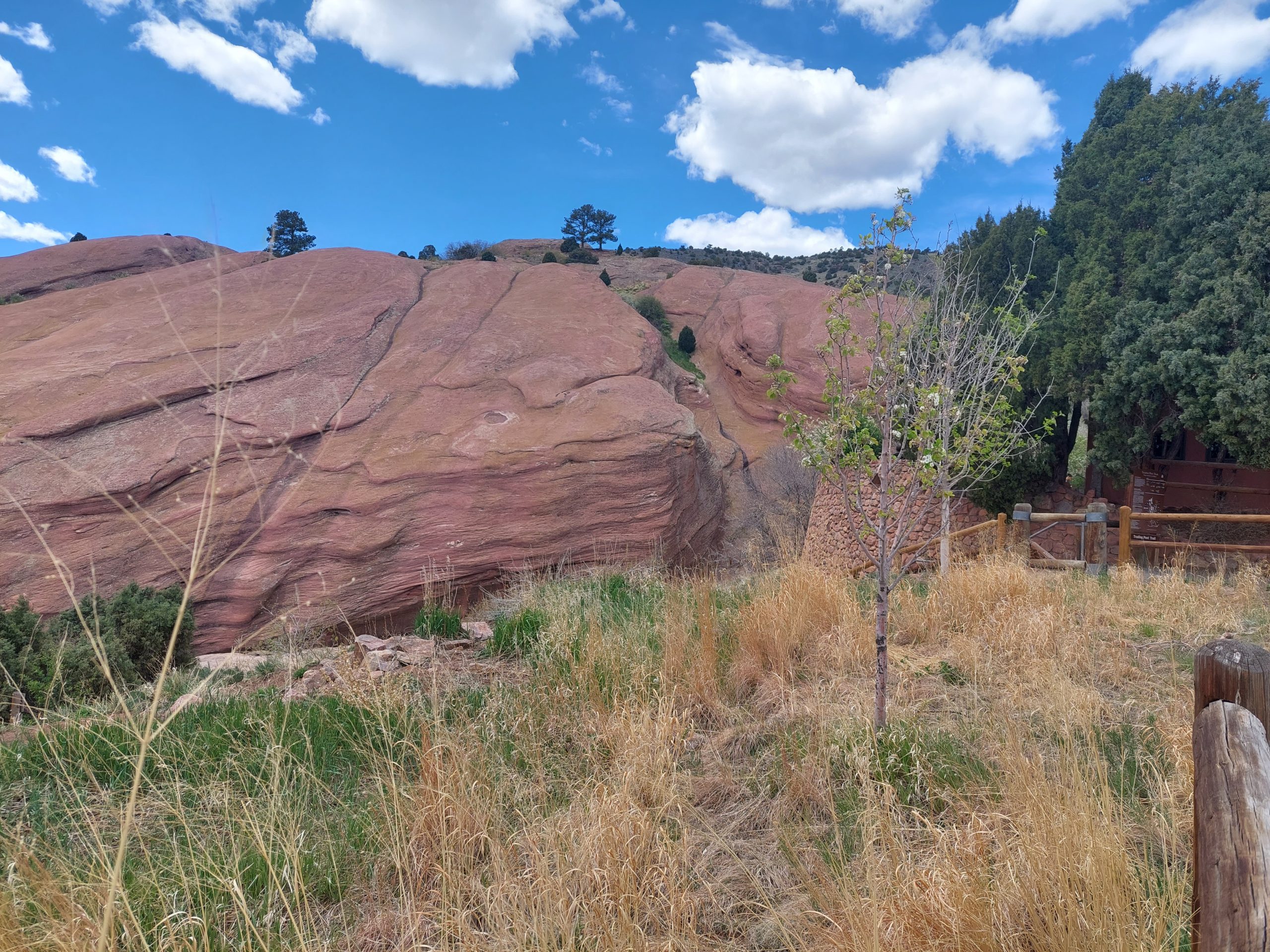
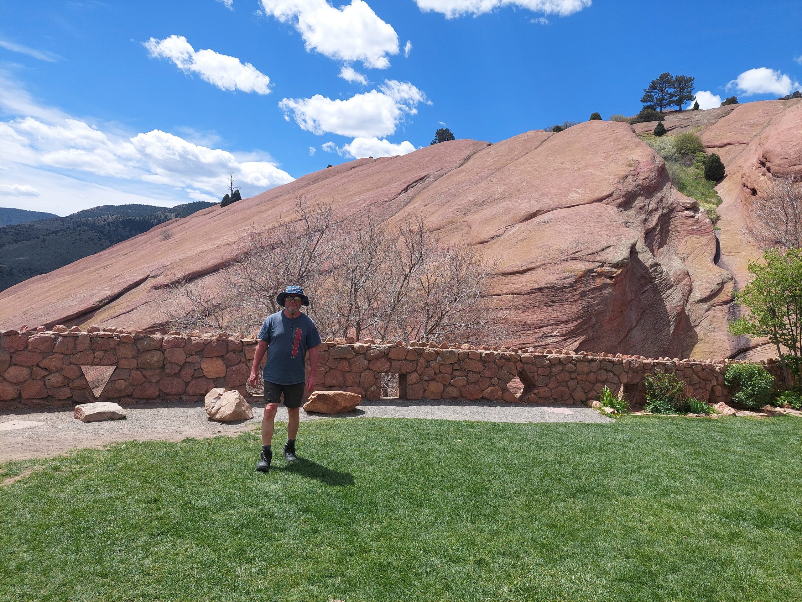
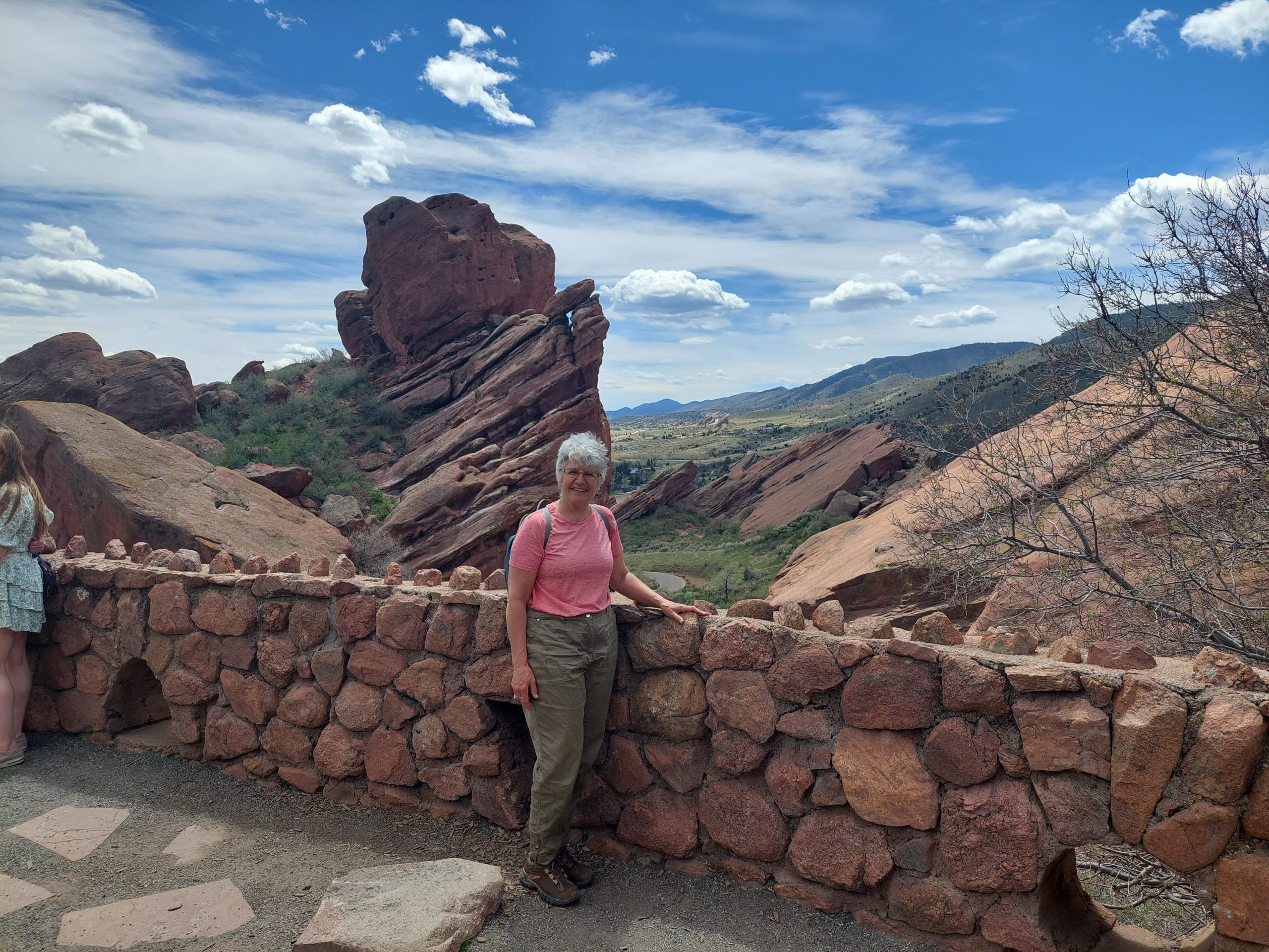
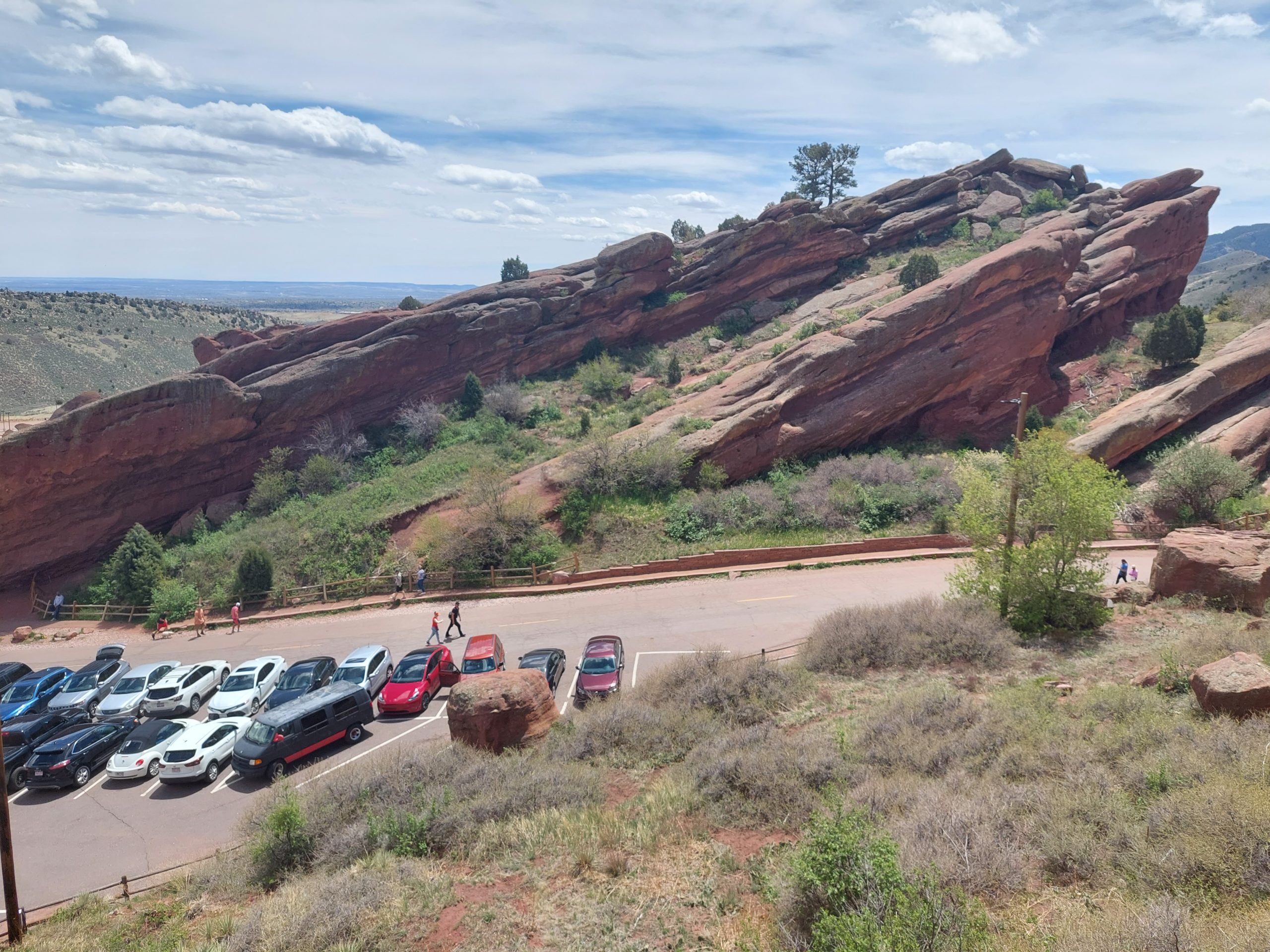
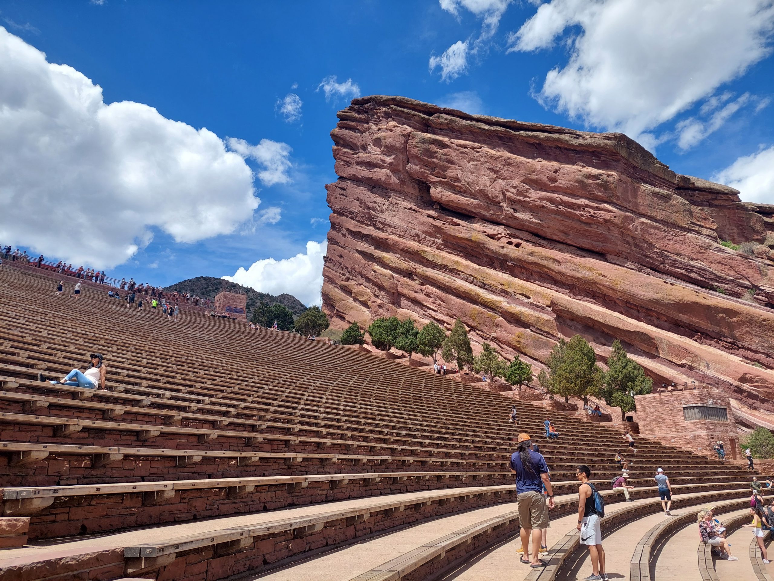
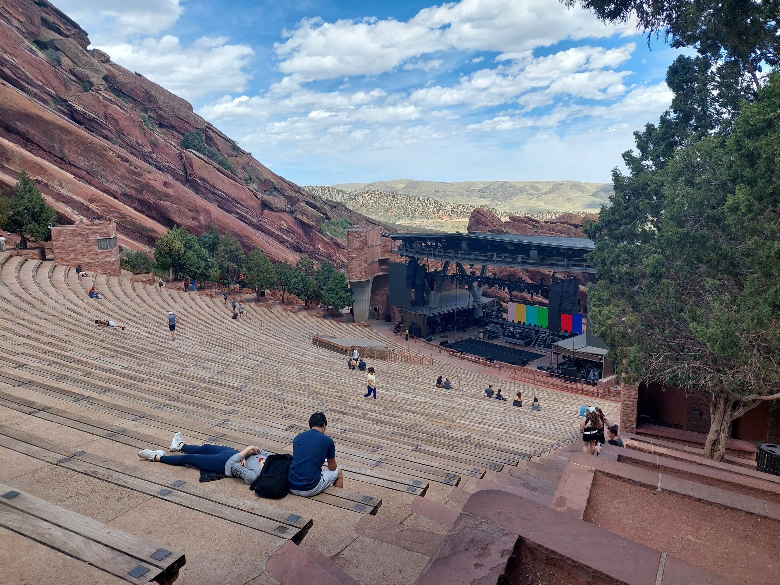
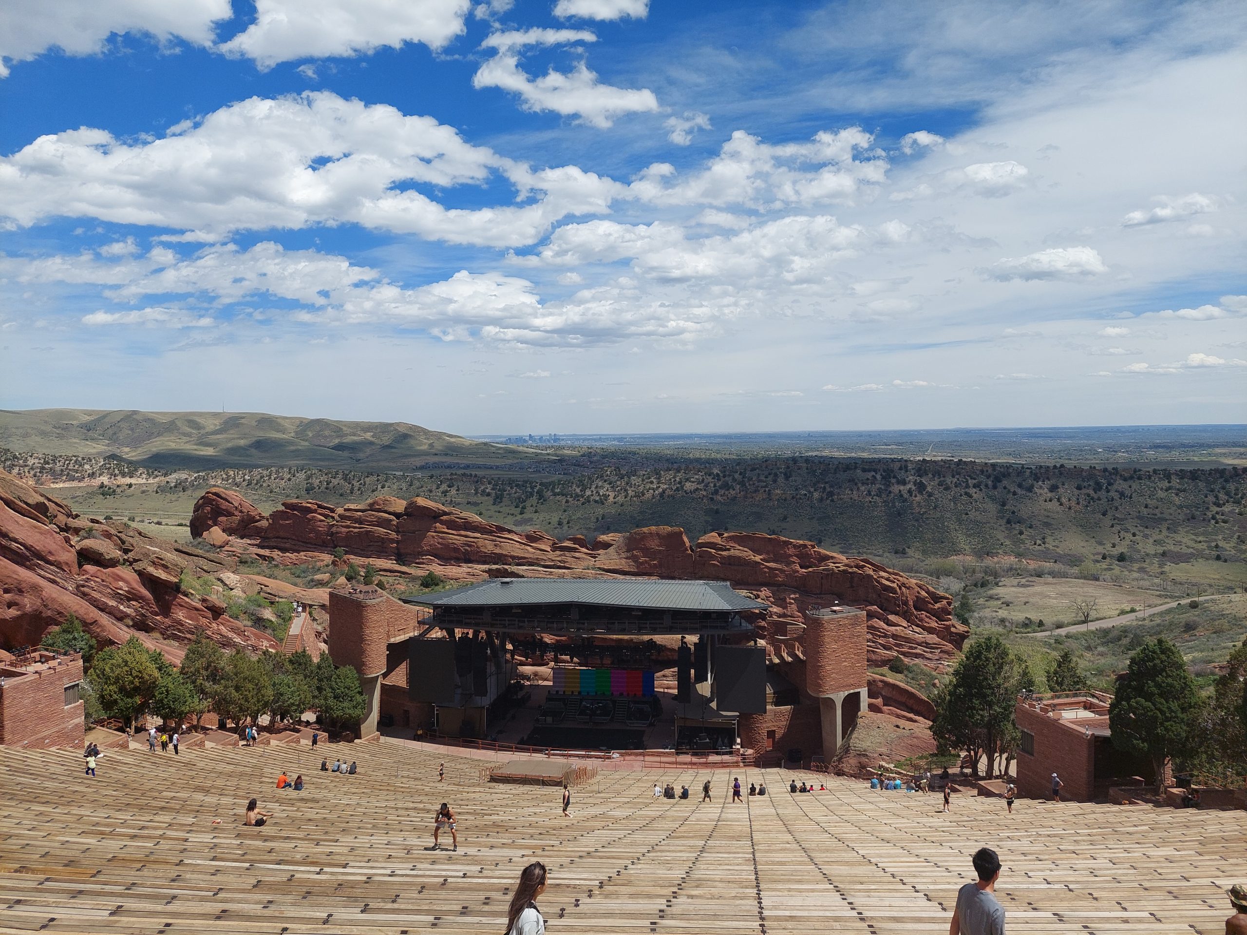
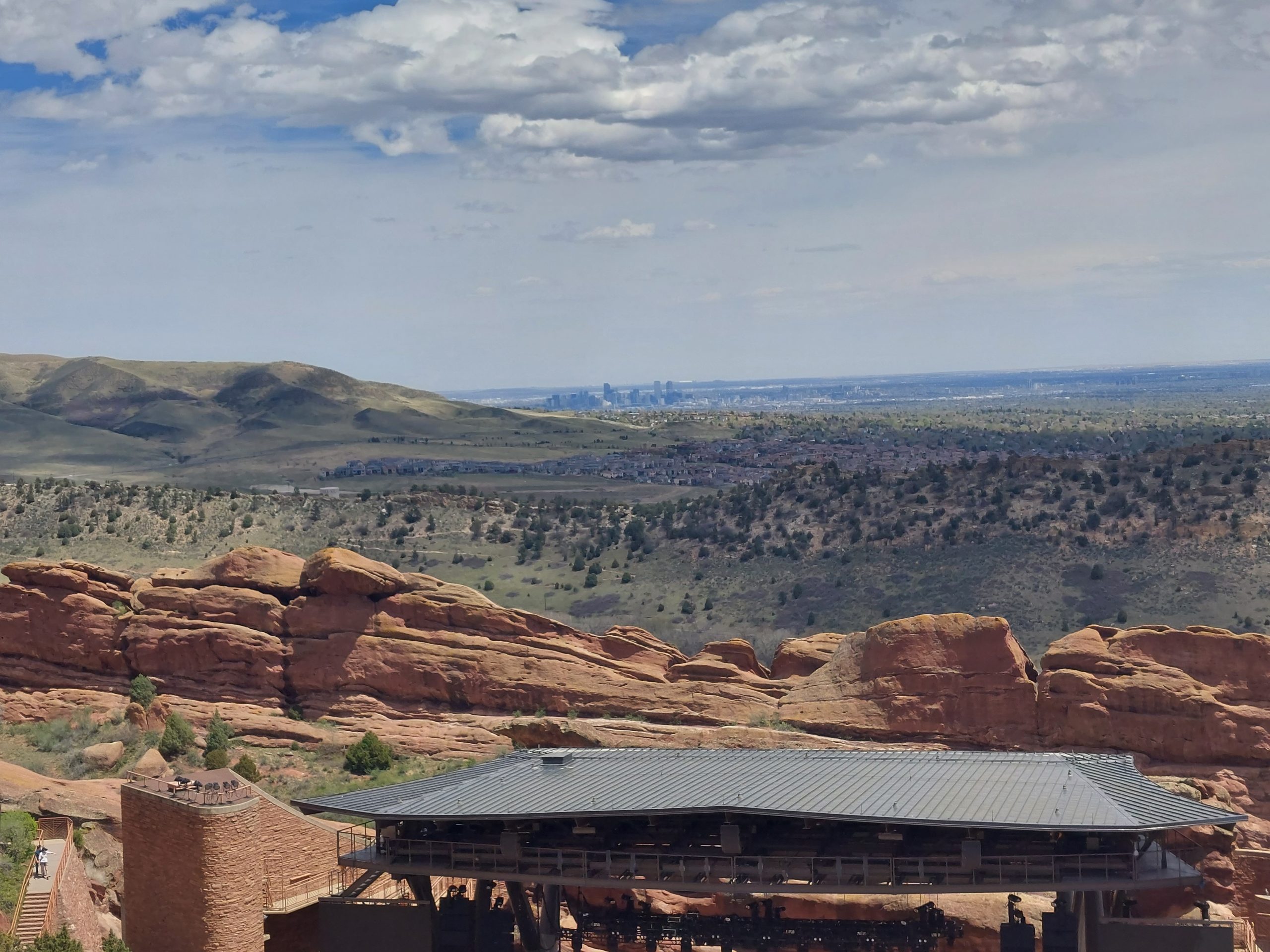
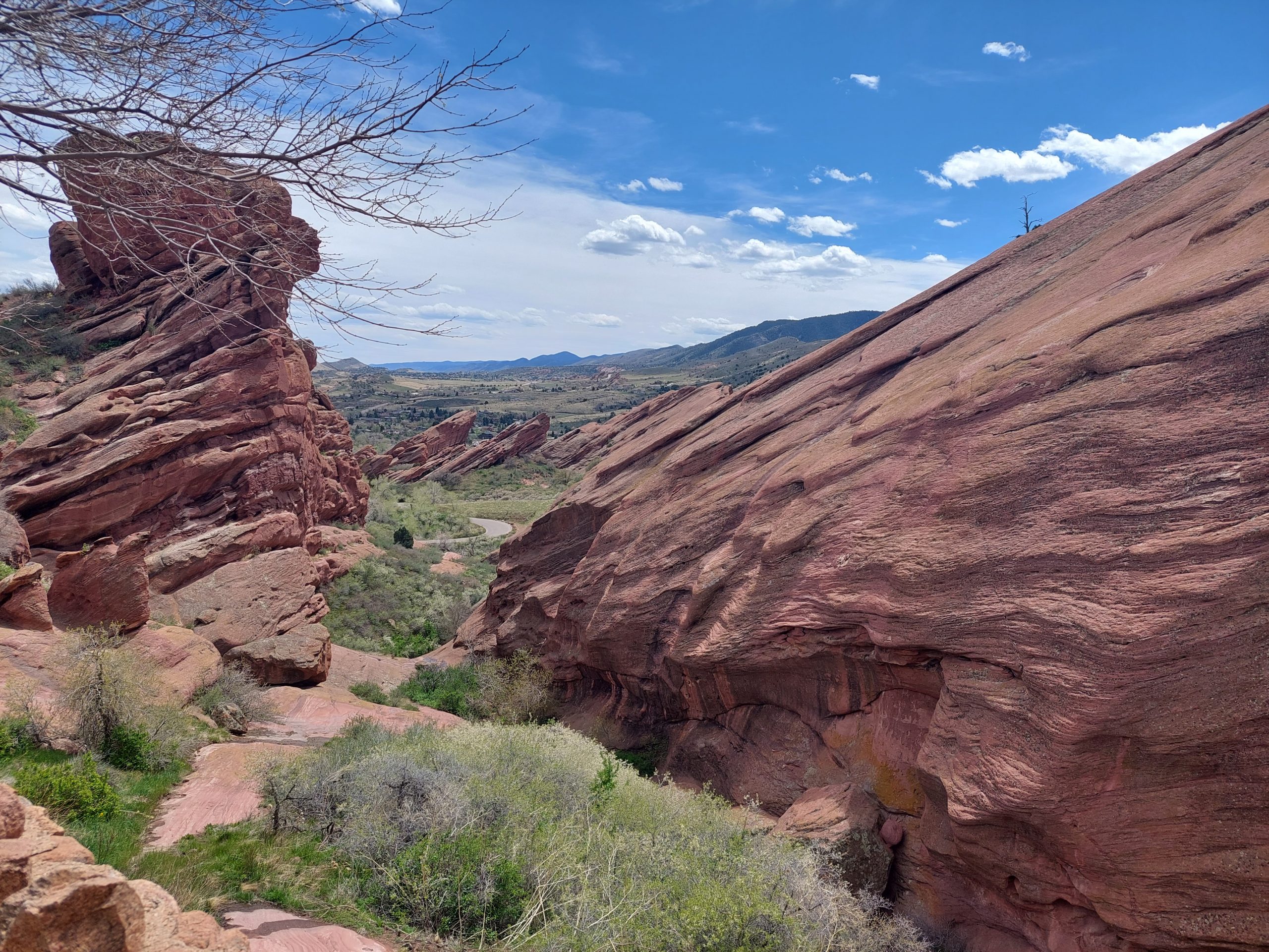
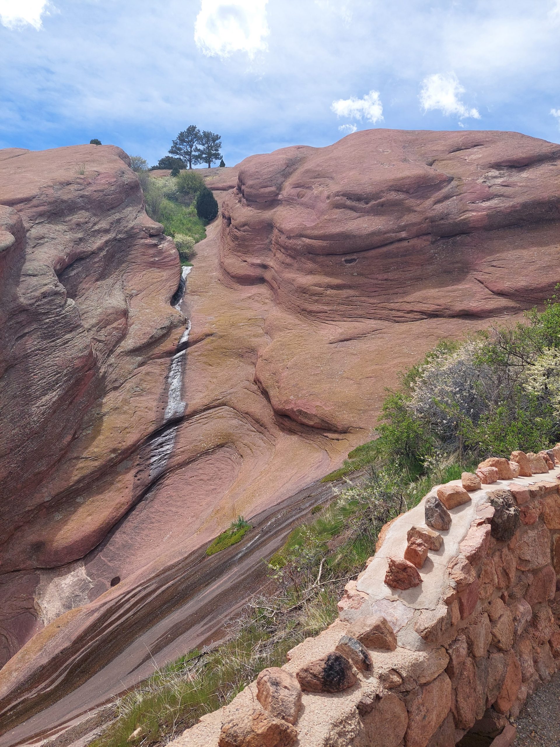
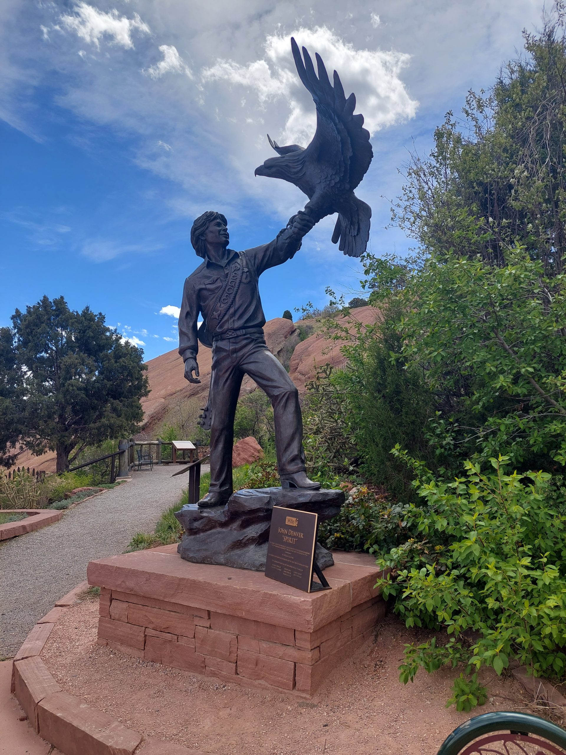
Yesterday Anne and I did a little exploring between meeting Emmi & Kyle for brunch and meeting them for dinner. We wanted to get a hike in, someplace that wouldn’t be too crowded even on a Saturday, so Emmi suggested Red Rock Amphitheater and away we went.
Red RockMeAnneSome Slanted RocksThe StageAmphitheaterLooking DownThe Stage From The TopDenver In The DistanceVistaLife Amidst The SlickrockJohn Denver
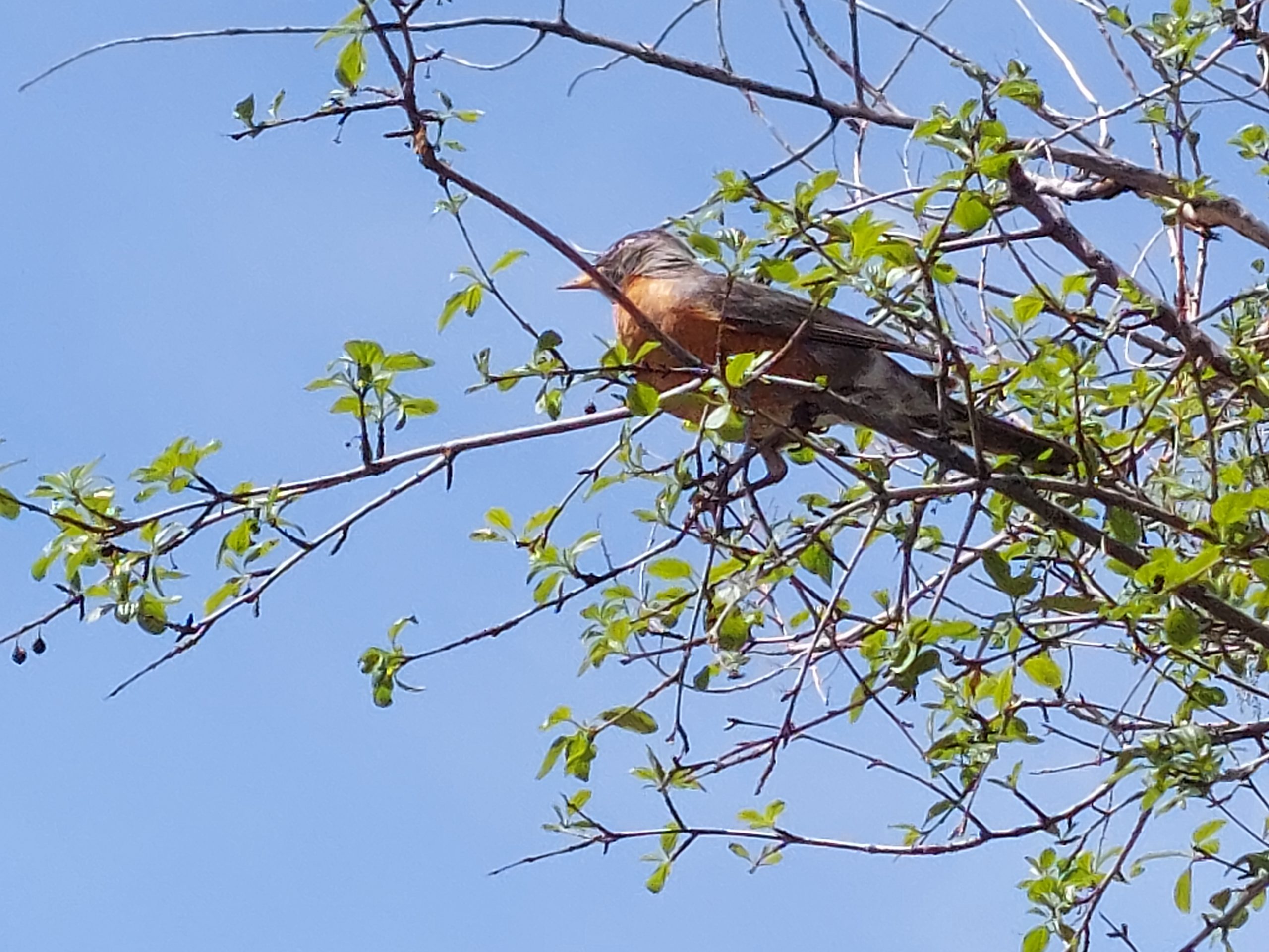
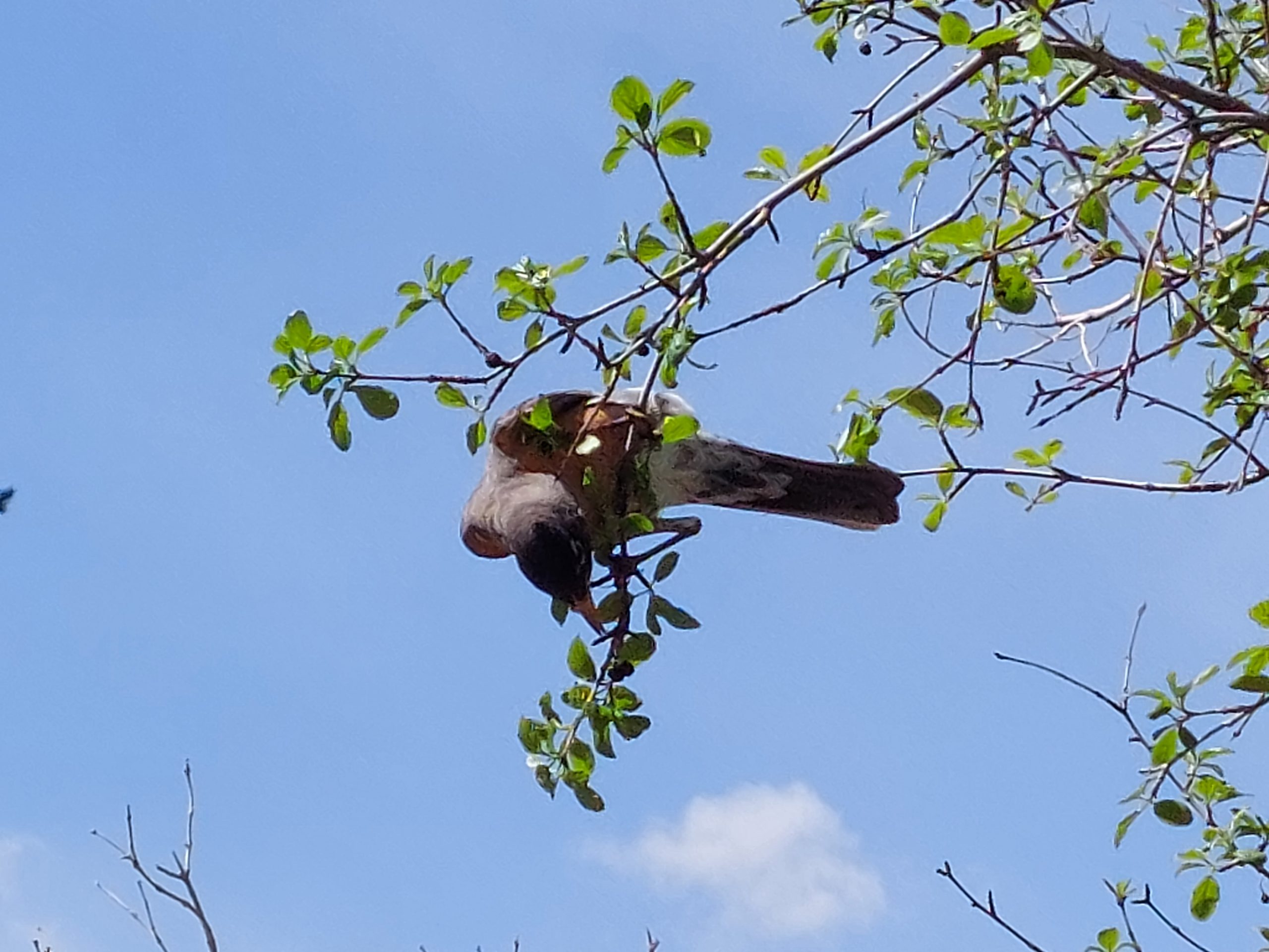
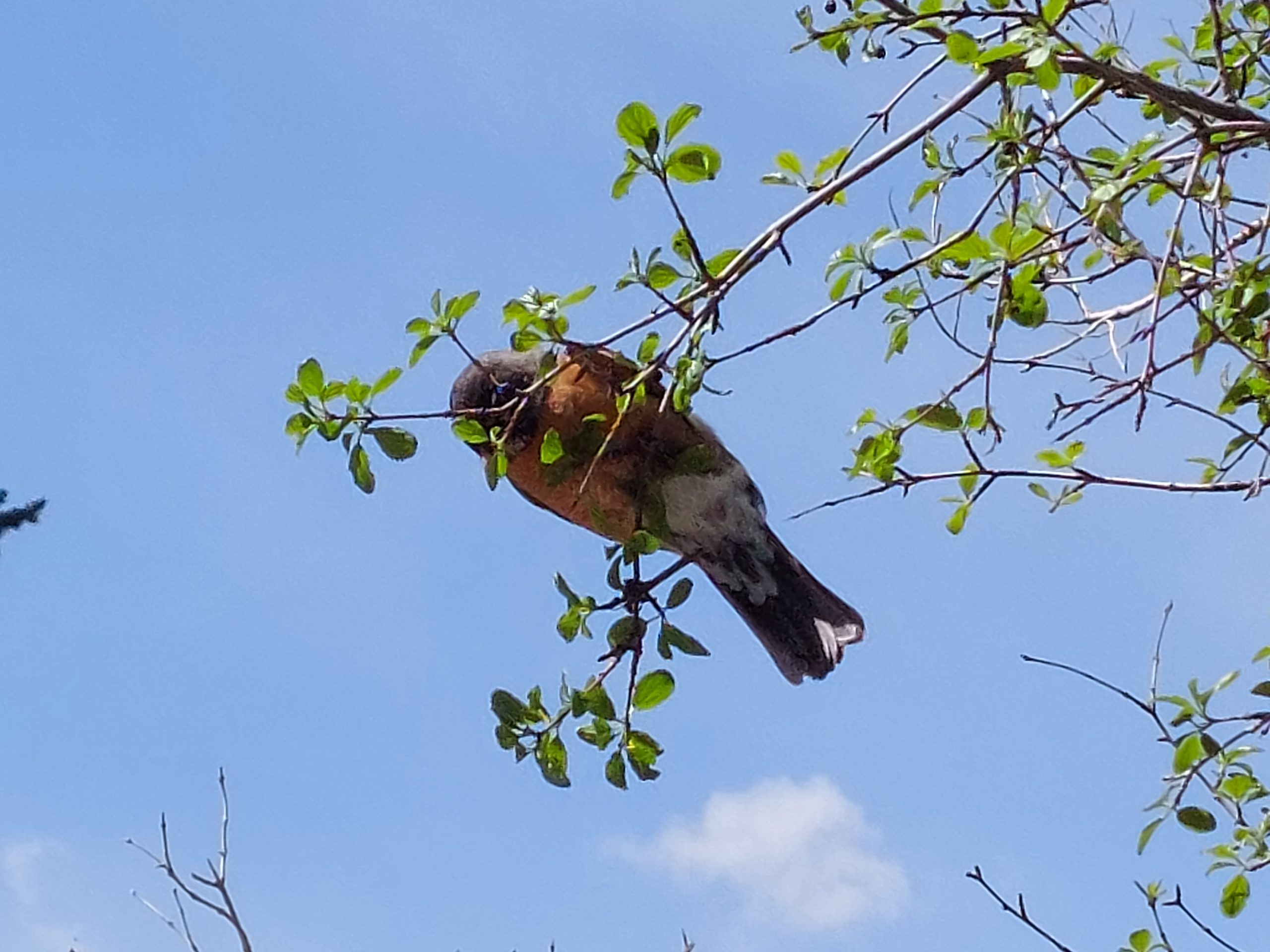
And finally, here are a few photos of a robin eating berries at Belmar Lake this morning:
We’ve been in Denver since Tuesday, but a COVID exposure scare — someone who’d been in physical proximity to us texted to say they’d got it — well, that kept us laying low until we tested negative.
Since then our days have followed a pattern: we occupy ourselves with hikes and coffee shops in the morning, then meet Emmi & Kyle for the afternoon and for dinner. Today we all leave together for a long weekend in Colorado Springs.
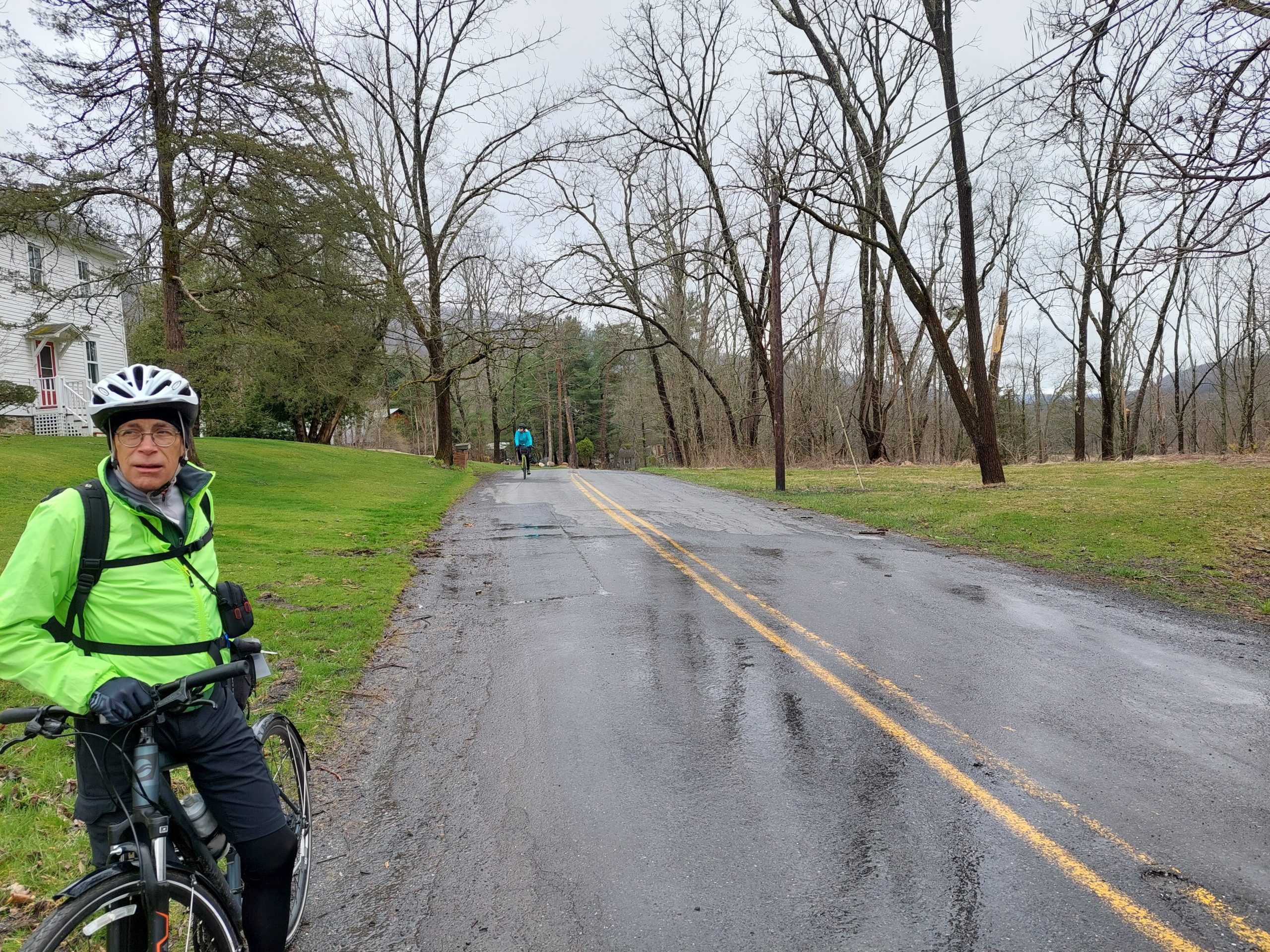
Bicycling doesn’t usually do much for flexibility, but flexibility sure came in handy on the recent Road Scholar ride…
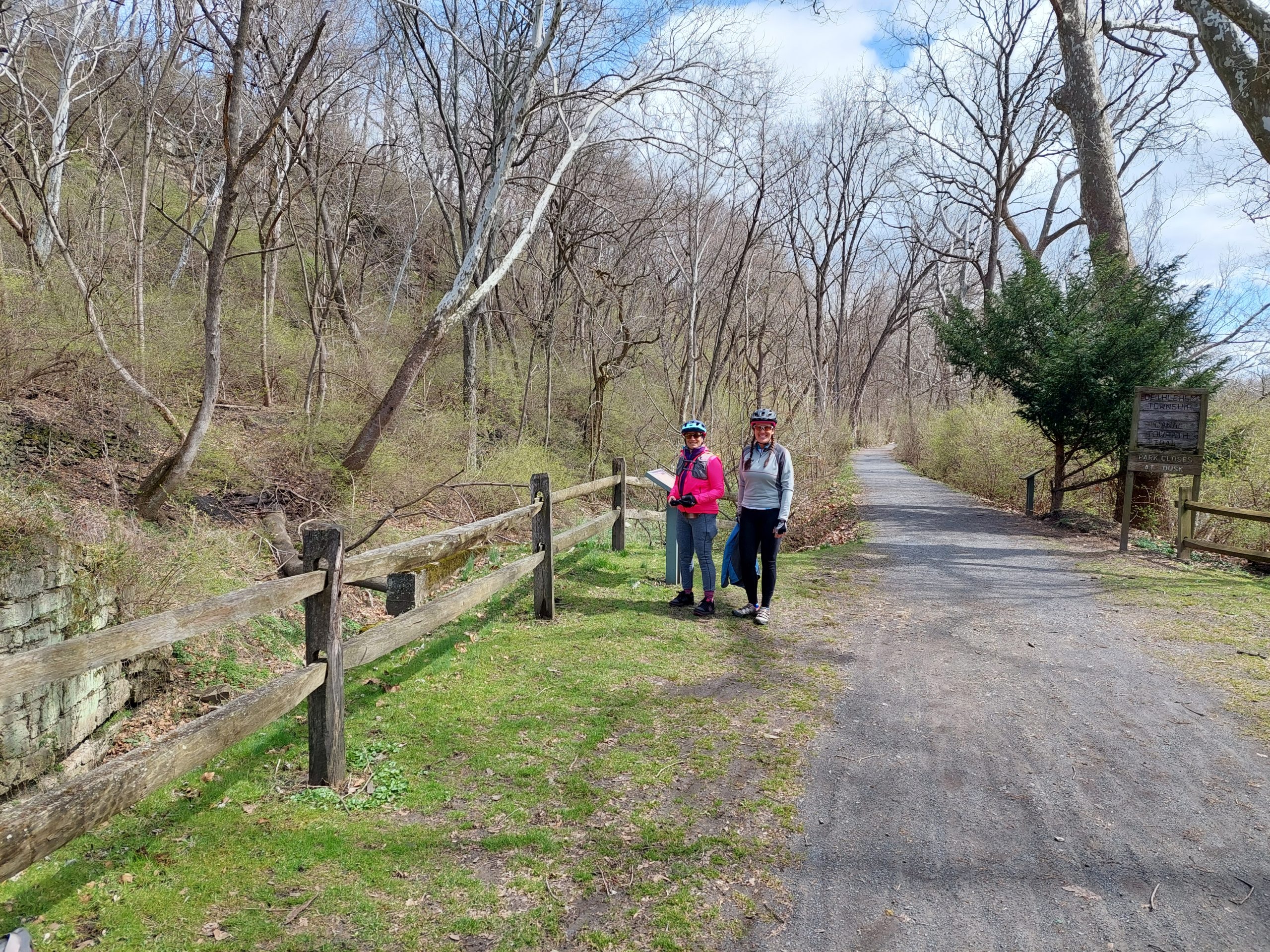
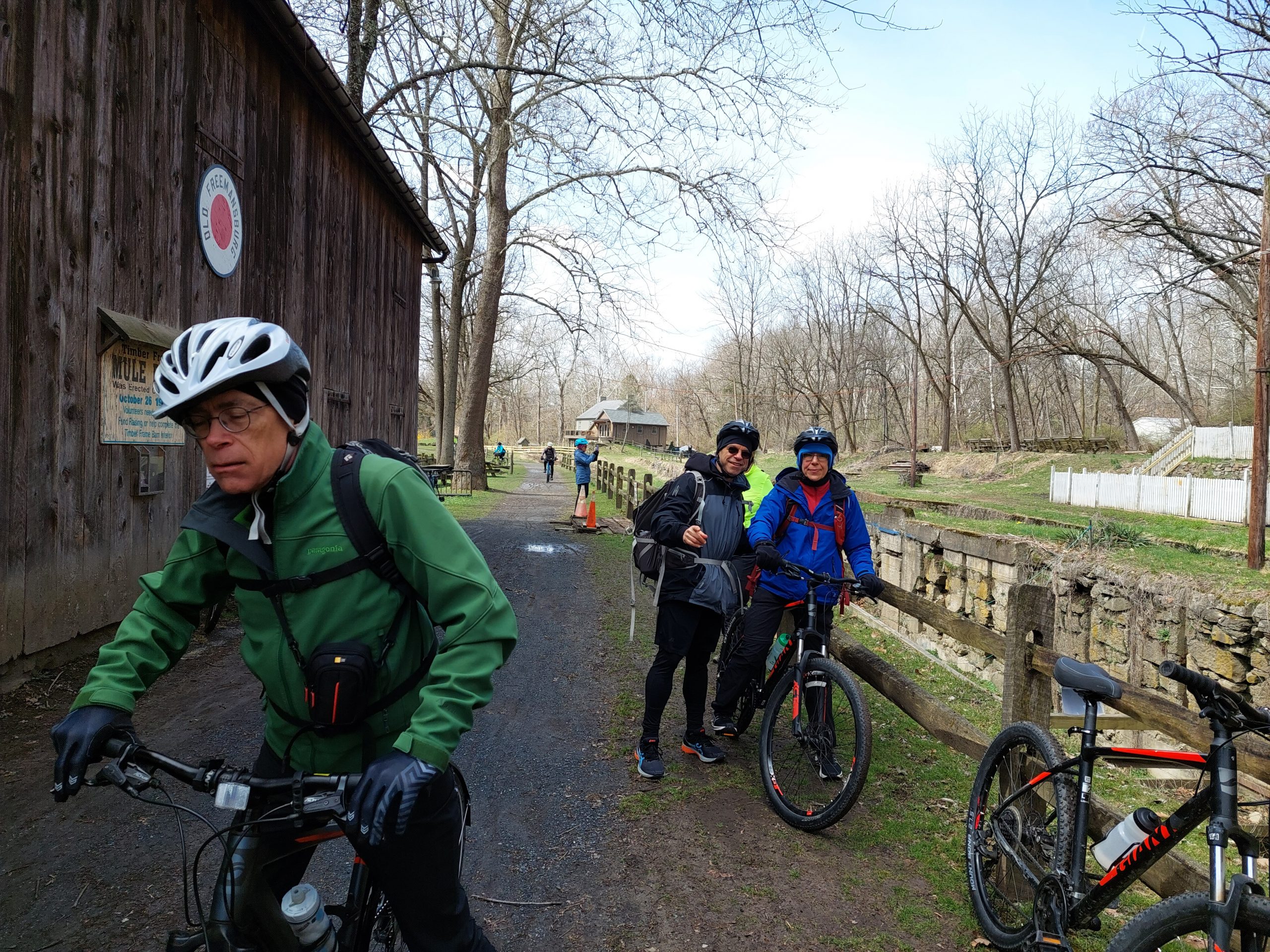
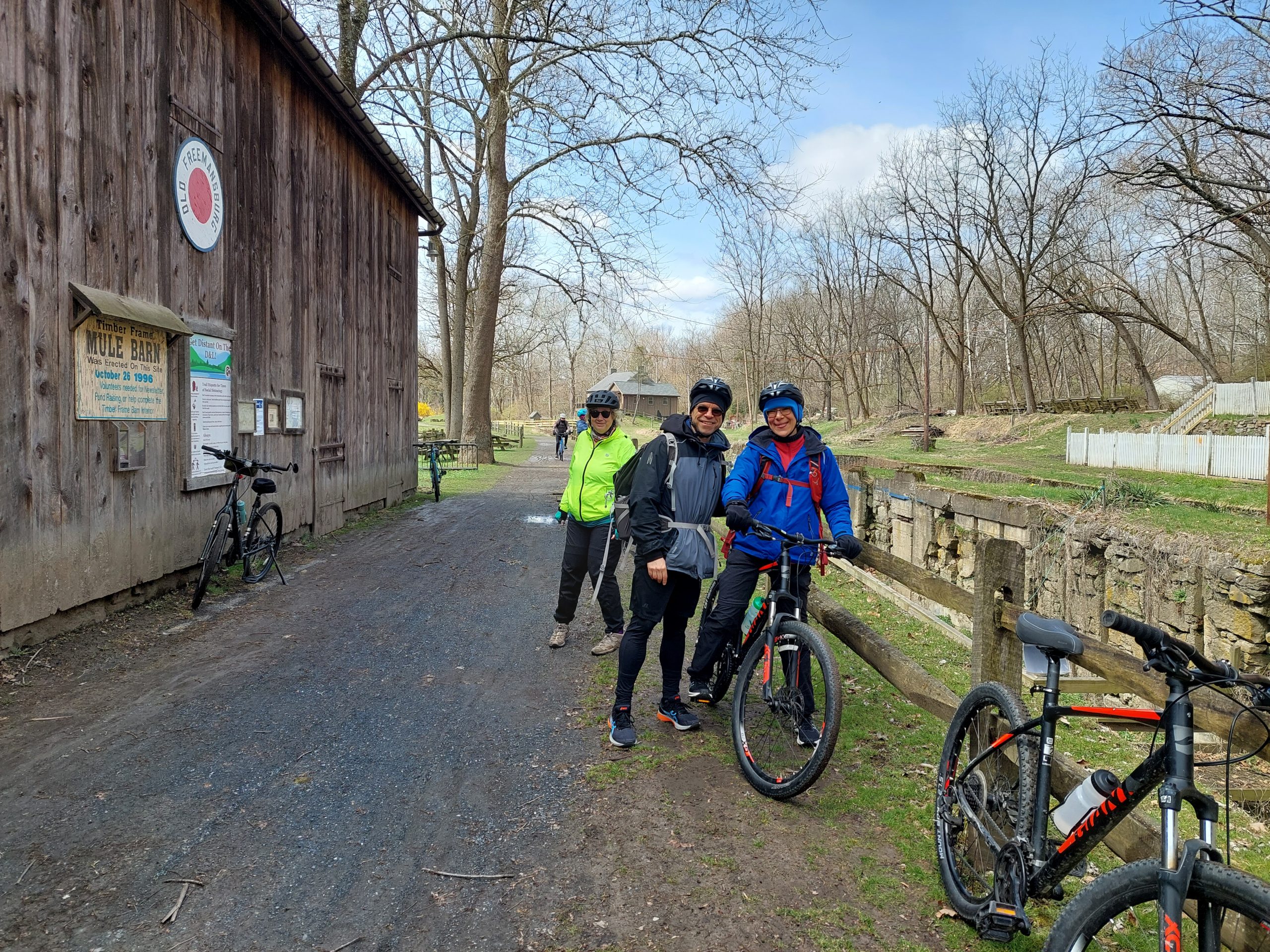
Monday: We switched back to the pre-Ida routing for this trip, doing the Lehigh Towpath from Bethlehem to Easton, rather than the relatively unscathed portion of the D&L from Lehighton to Cove Road we used last year. (I think that the D&L has a better surface overall between Lehighton and Cove Road, and was better even before Ida trashed the towpath, but everything else about the ride — the vibe, the points of interest, and especially the scenery — are all so much better on the original Bethlehem-Easton route.)
Posing At the Mule BarnAt The Mule BarnAt The Mule Barn
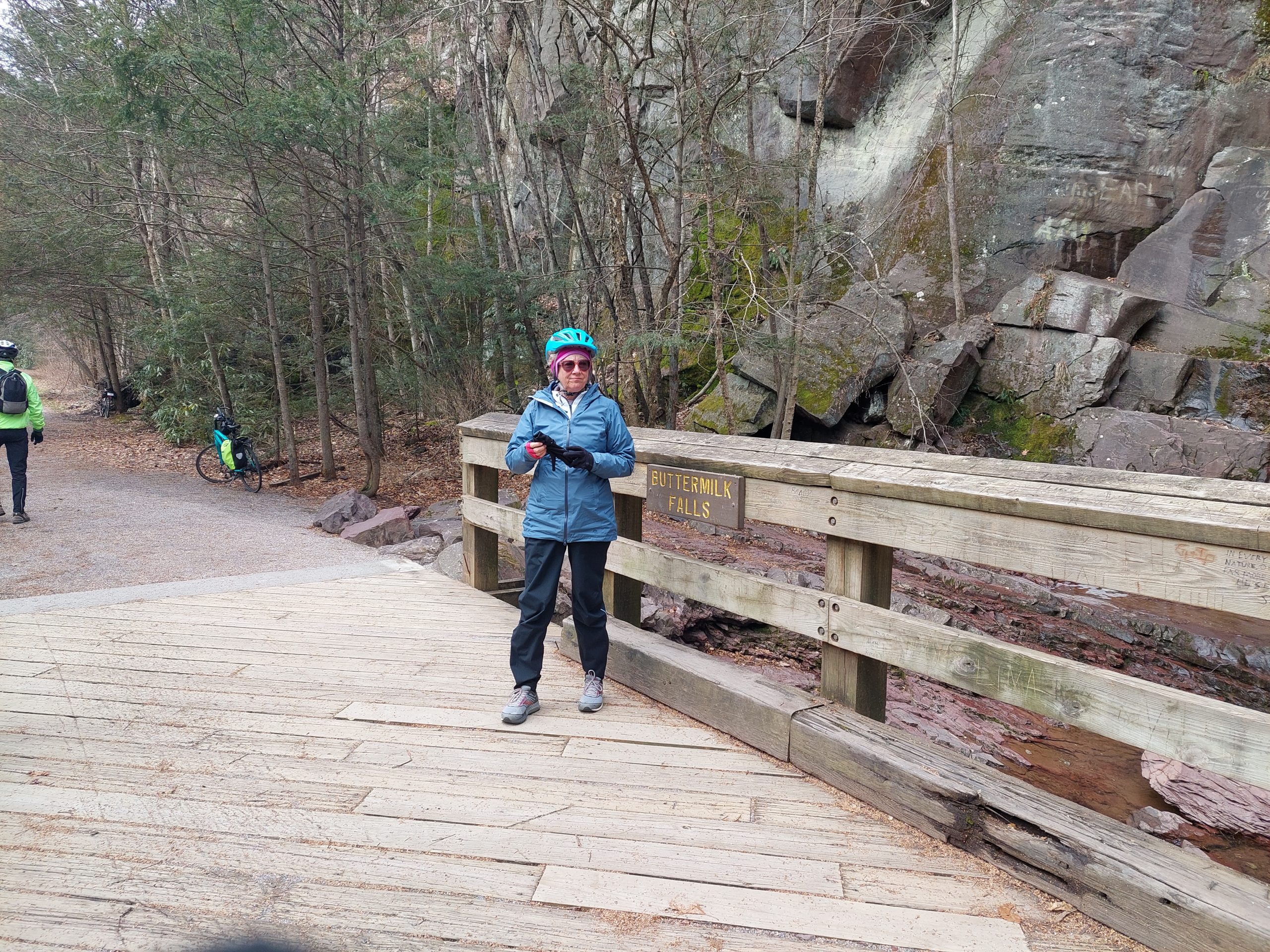
These were some shots at the Mule Barn (Lock #44, Freemansburg) on Monday’s ride.
That decision worked out pretty well, and since Genesis Bicycles (our old destination on this ride) is closed now, we didn’t bother to do the last part of the original ride — we got picked up at the Forks of the Delaware rather than do city riding through Easton.
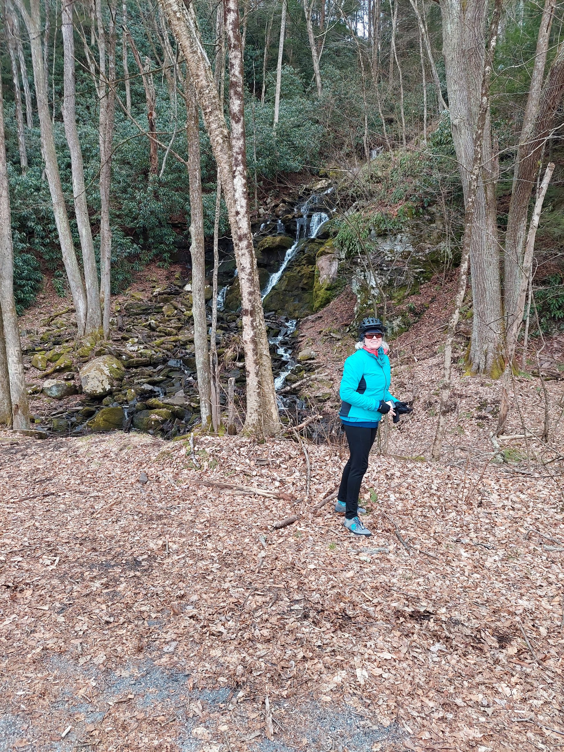
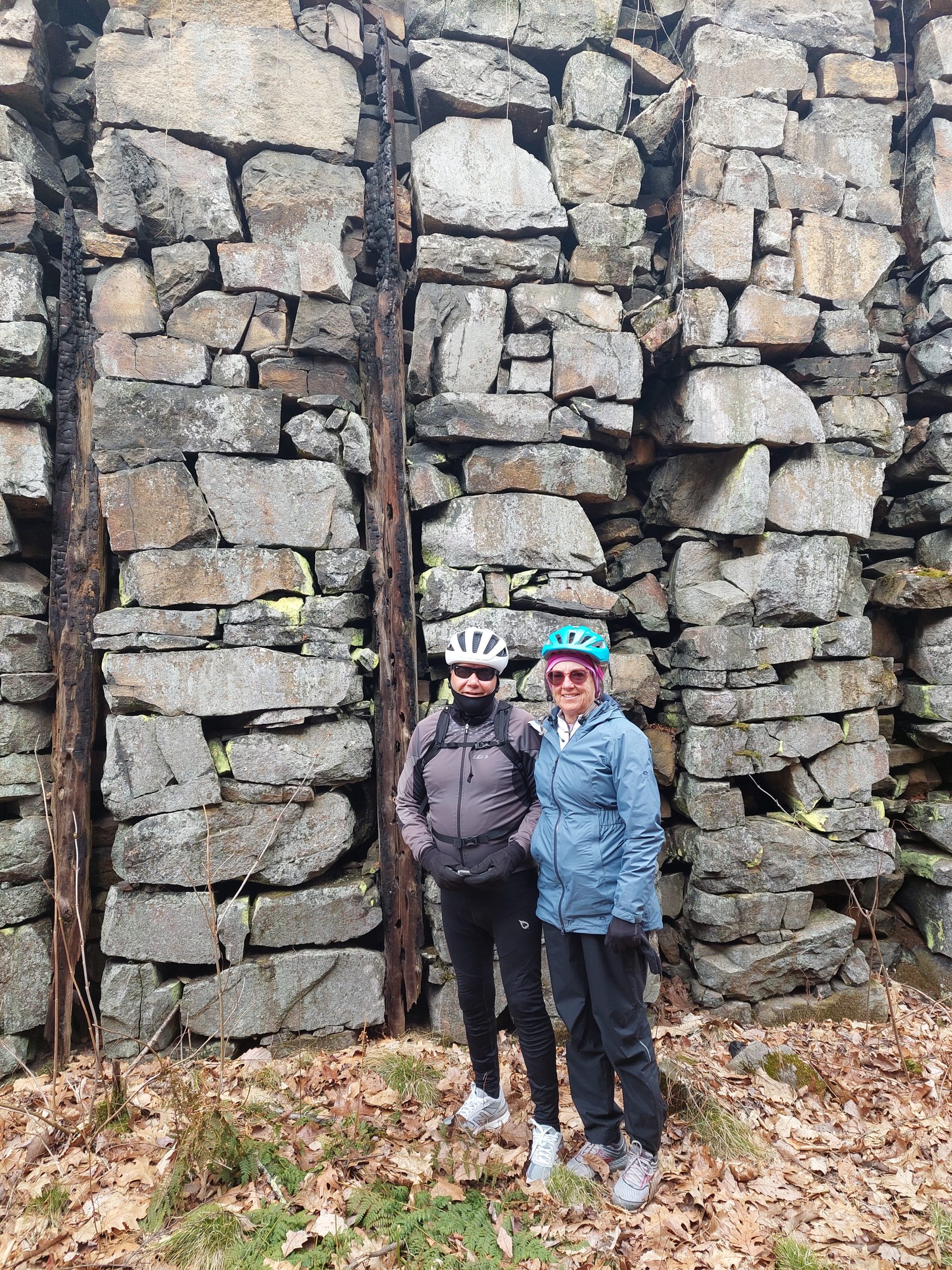
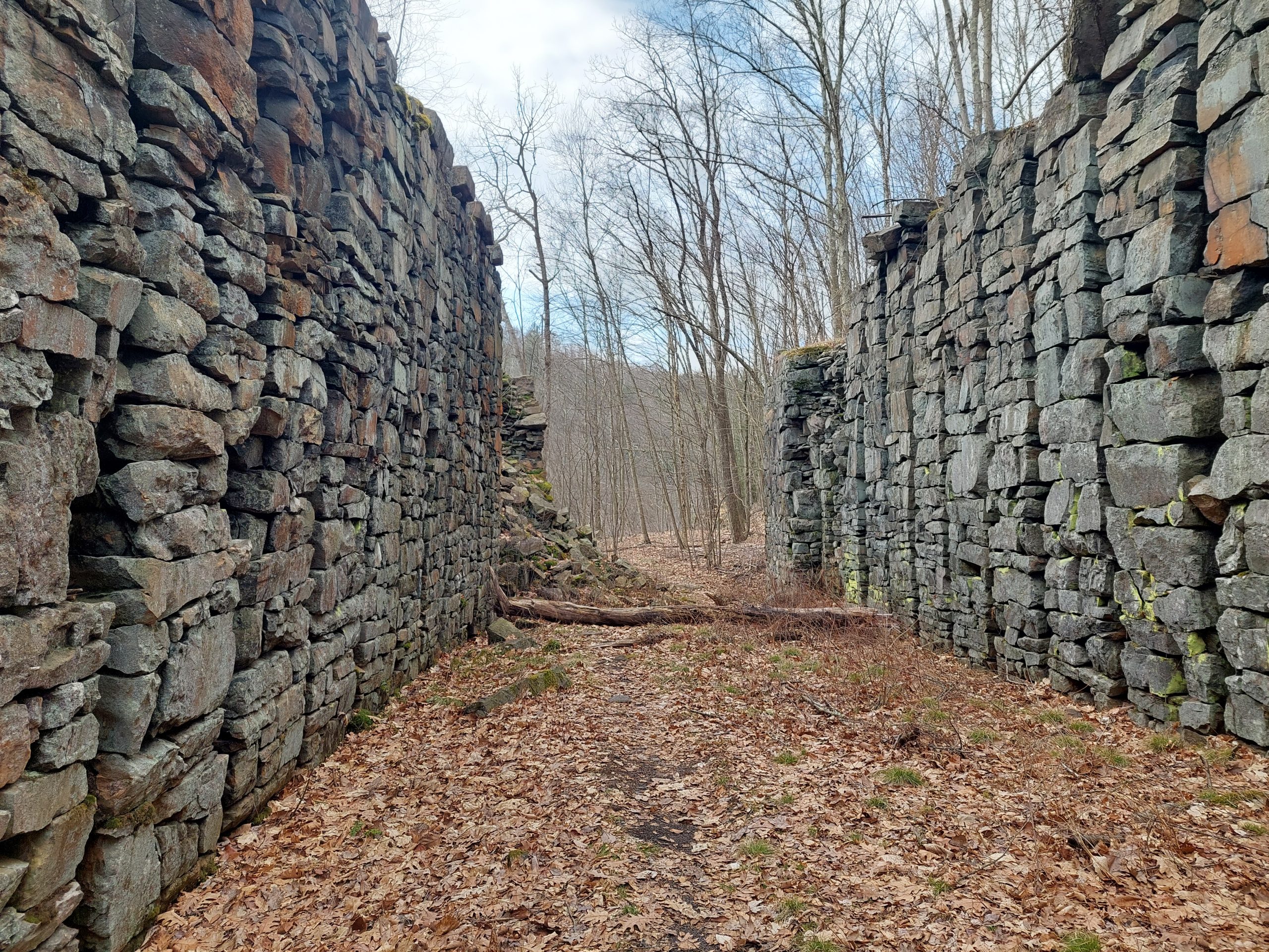
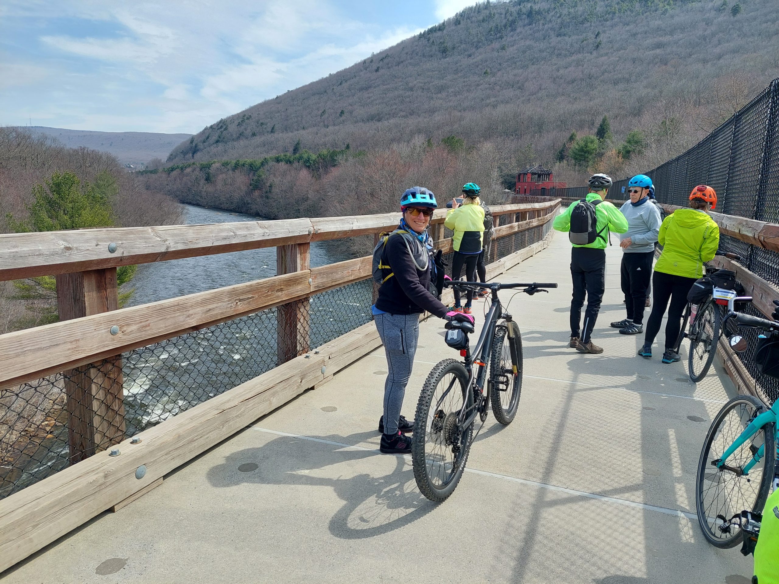
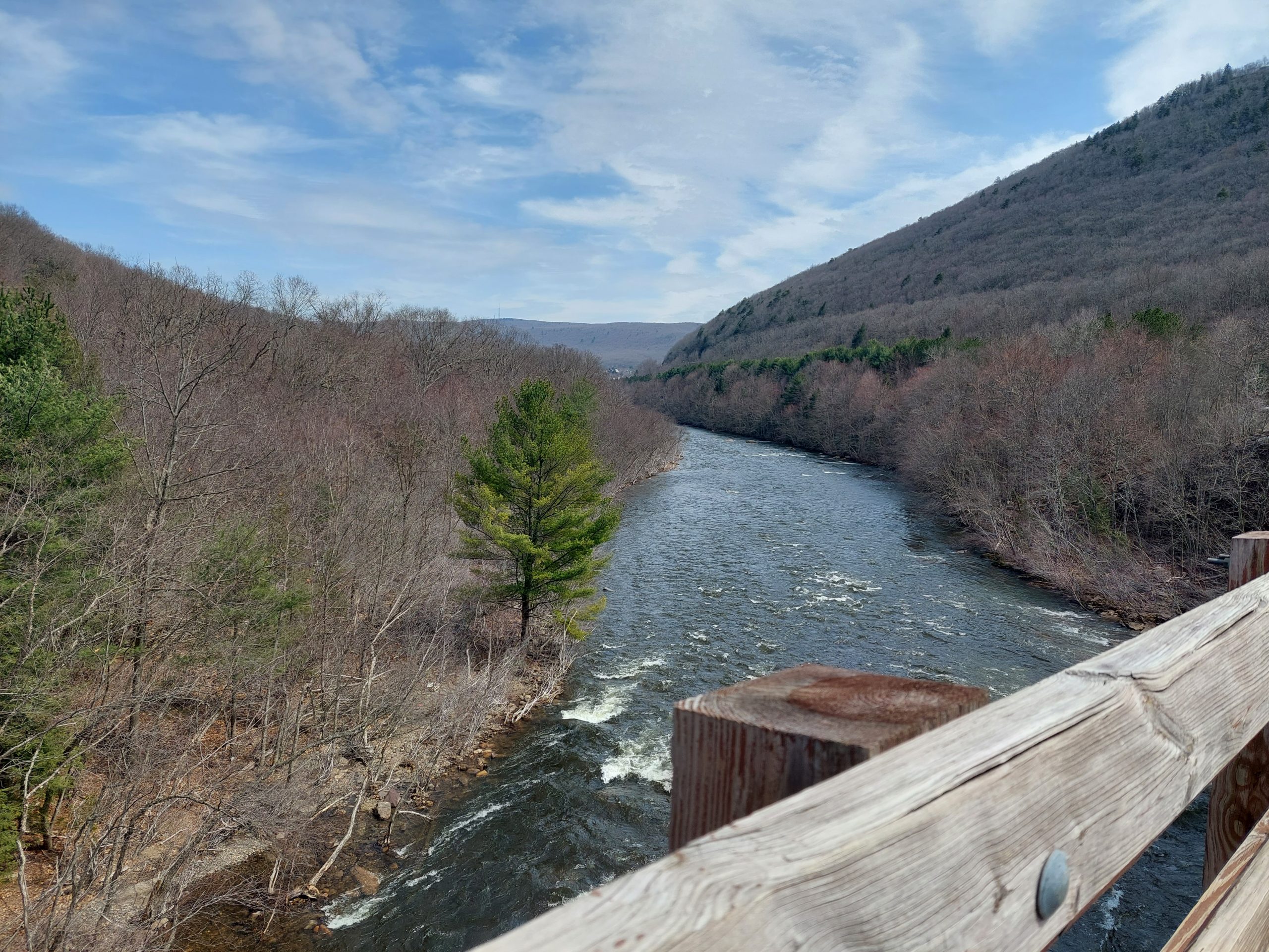
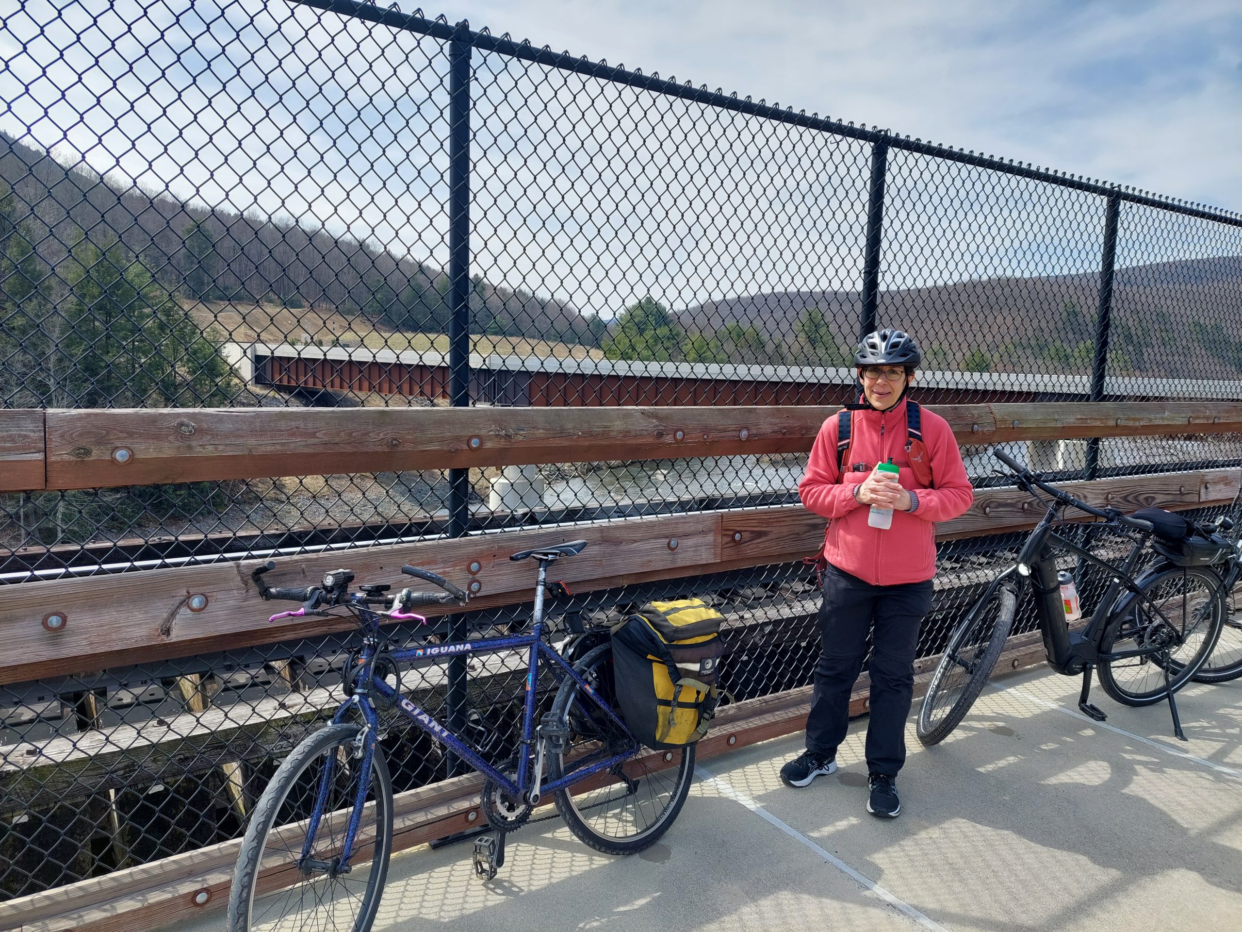
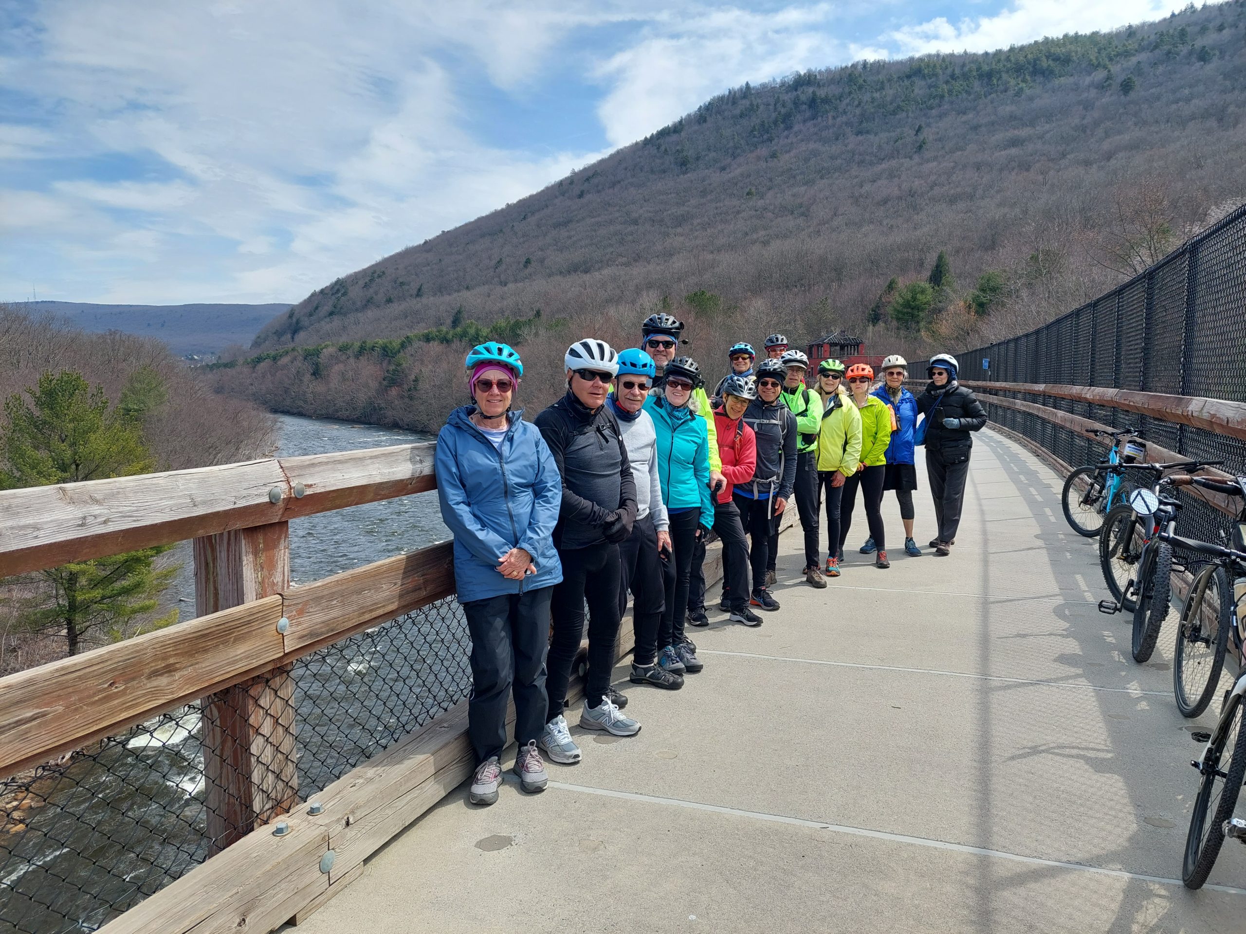
Tuesday: The weather forecast started looking pretty bad for later in the week, and I think everyone was thinking the same thing: let’s switch the Tuesday and Thursday rides, so if Thursday is a washout we still get to do the Lehigh Gorge ride, which is supposed to be the last ride and the highlight of the week. There are usually a lot of moving parts to the Road Scholar logistics, especially when it comes to coordinating transportation, and changes like these are sometimes hard to pull off, but there were no other programs this week that needed transportation. The transport guys managed to shift the dates, and Tuesday was a great ride down the river to Jim Thorpe, on the last beautiful day of the week.
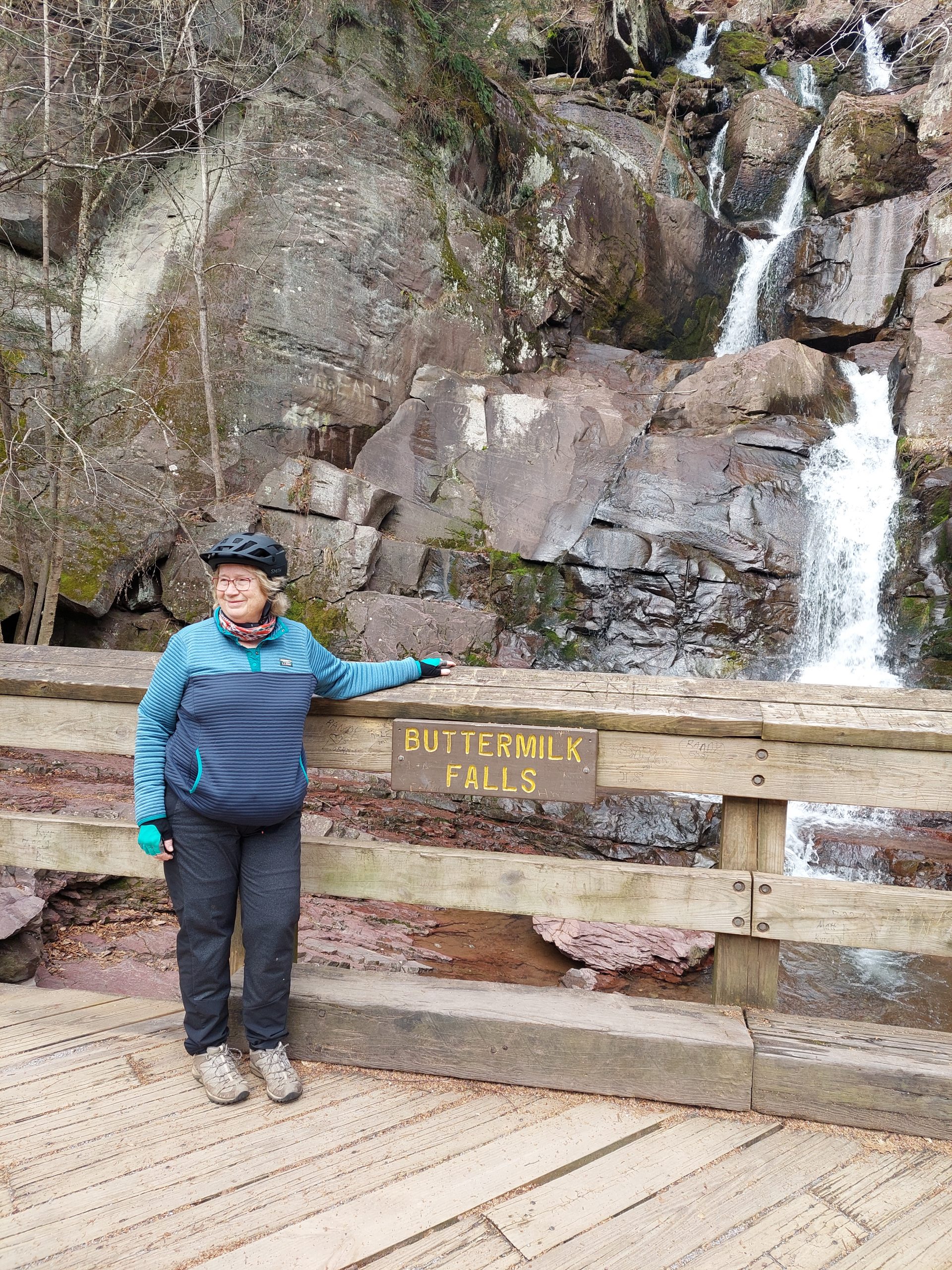
Lehigh Gorge SceneAt the WaterfallPosing With Lock ConstructionInside Lock 22At The WaterfallAt The TrestleThe View From Nesquehoning TrestlePosing At The TrestleThe Crew At The Trestle
Here are some photos from Tuesday’s Lehigh Gorge ride.
Wednesday is usually a short morning road ride, to lunch in Delaware Water Gap and an afternoon of free time for the participants. But, the morning weather looked so bad, and we’d already had such good luck messing with the previous day’s schedule, that we decided to mess with this one as well — the afternoon was supposed to clear up a bit, so we started later and had our stop lunch before the ride. This also worked out well: the rain had stopped even before lunch, and though the roads were a bit wet we managed to have a pretty decent ride. (Everyone seemed to ride a bit stronger too, probably from the extra nutrition.)
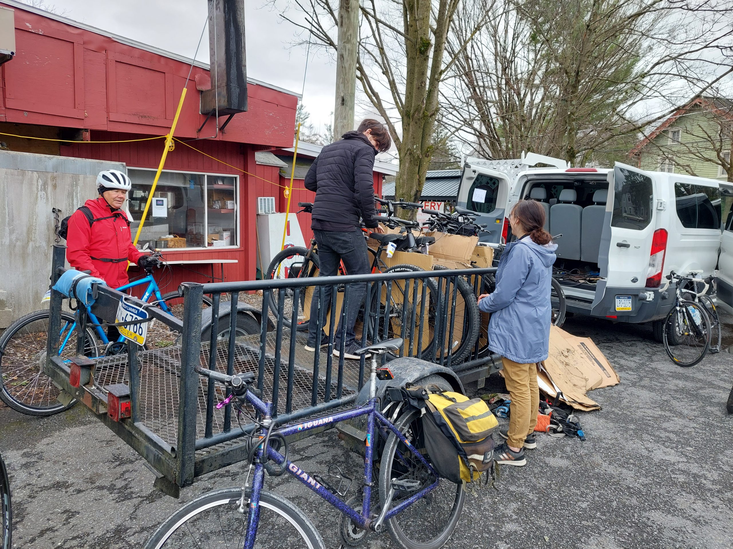
Rainy Morning at ShawneeAt The Top Of The HillThe End: Loading the Bikes
I didn’t take too many photos on Wednesday but here is one each from before, during and after.
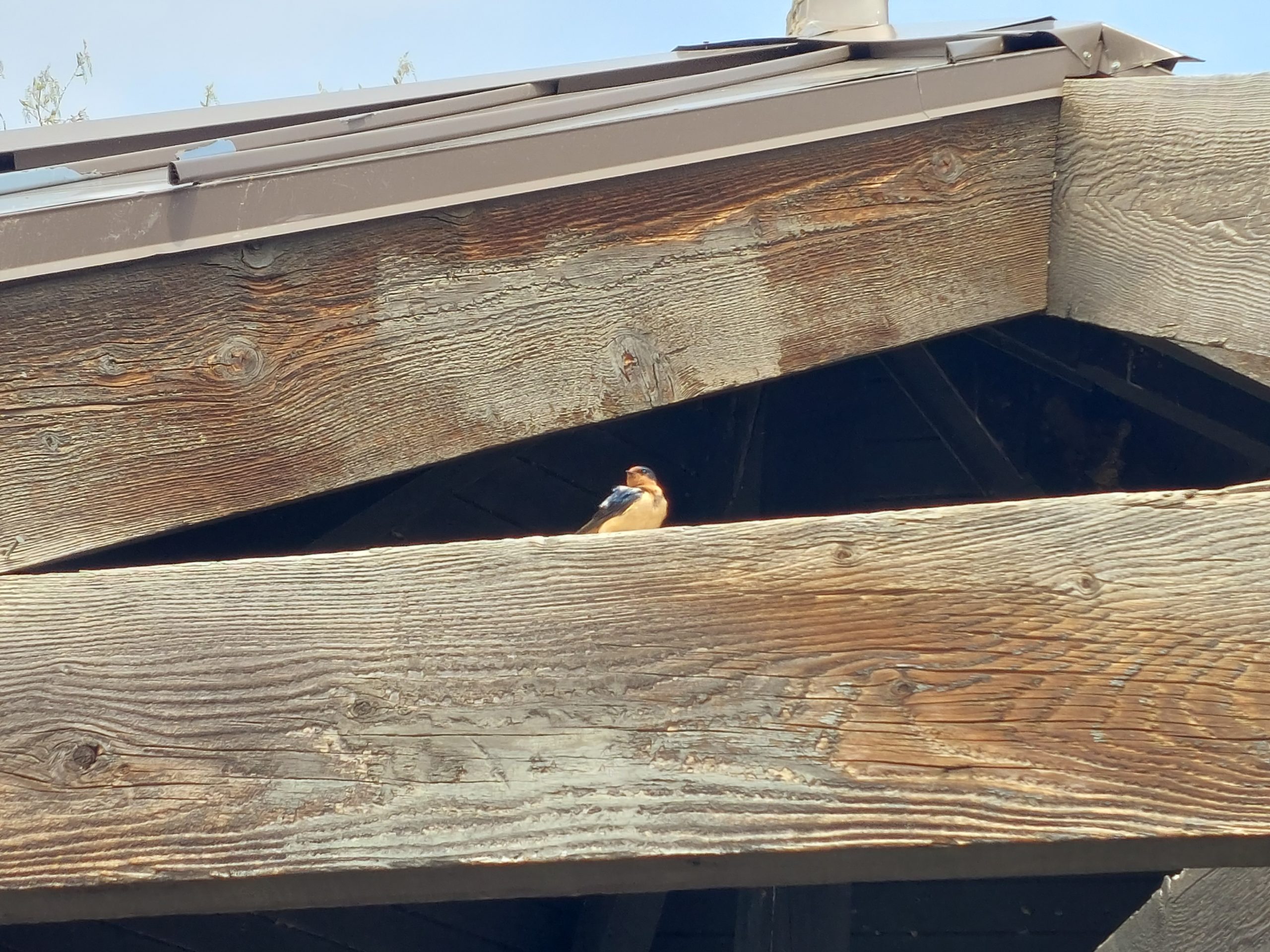
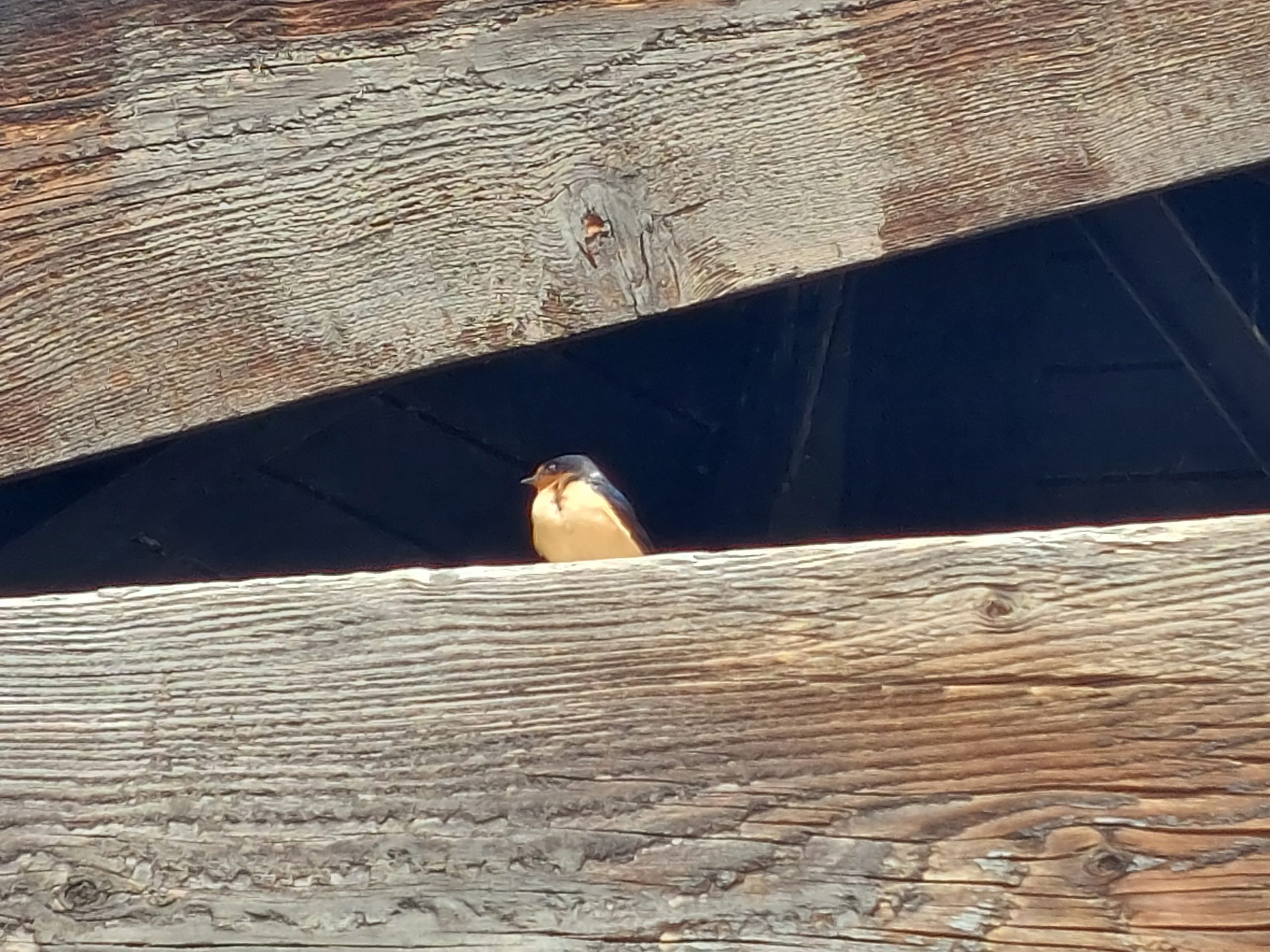
Finally, Thursday. The forecast was still bad, so bad that the final ride (Allamuchy) was canceled. I didn’t even go in, and Midge and Andrea came up with substitute, indoor activities, yoga, a visit from the bird rehabilitation people, etc. This worked out so well I wish we’d been able to do it last year — the year we walked around Jim Thorpe in a downpour. Again, the bosses managed to move the logistics of travel and activities around to make this work. I am not usually a flexible person, physically or mentally, but this one time: Flexibility FTW!
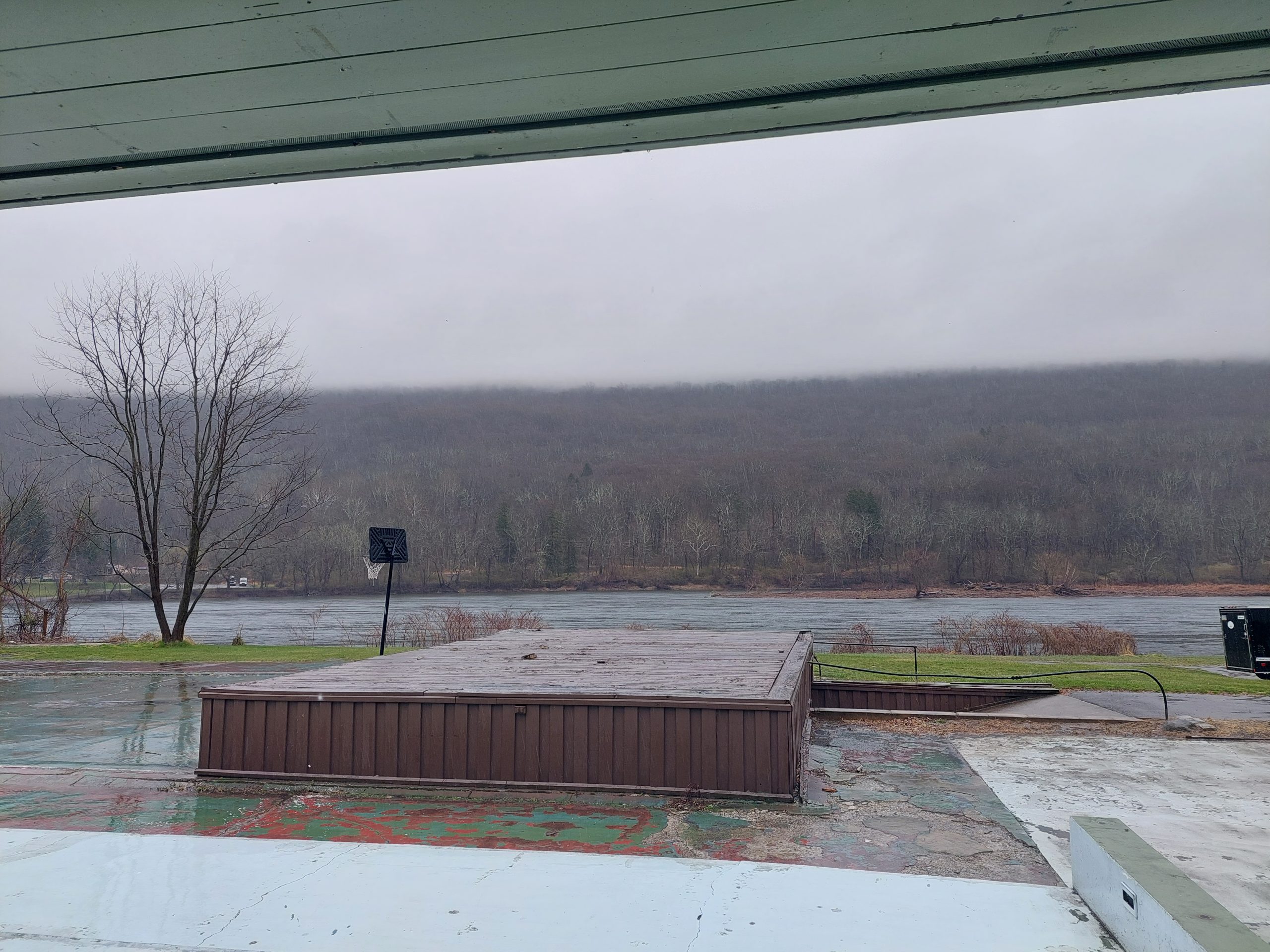
I went out to Allamuchy yesterday and did the Road Scholar route. It was a beautiful day but cold, and windy, and snow squalls blew through at times. I was dressed for it though, and fairly comfortable.
While I was out there, I also did a bit of exploring on the new section of the Lehigh-Hudson rail-trail. We’ve been using the first completed section as an alternate return path for the past few Road Scholar rides, but this new section doesn’t seem to fit anywhere into our route — it connects the older part just at our access point, but goes the opposite direction for about a mile before rejoining the main road. Maybe in a few years, when they have more of the trail completed, we can incorporate more of it, but in the meantime I at least know where it goes.
New Bike: More Impressions
My first impressions of the new bike were that it’s seriously comfortable, and very stable, and though it feels fast when you sit on it, the more upright position (despite the drop bars), the extra weight of the rack and fenders, the easier gearing, and the wider tires all conspire to encourage a more sedate pace — the bike can move, but does not reward attempts at hammering the way my road bike would.
After another ride I have to say that the situation is more nuanced than that: the bike is fully capable of being cranked up to a good pace, and can hold that pace just fine, especially on flats and gently rolling terrain, and tucking into the drops is perfectly doable on the descents. Still, the bar-end shifters make rapid progressions through the gears a little difficult though, so there’s no speed-shifting through short steep rollers — most of the time you pick your gear and change it when you notice a need, and in the meantime the bike is just so comfortable anyway, that it feels great to just cruise along without pushing too hard, no race pace necessary, just enjoy the scenery…
Today is a fasting day, and it’s cold outside — blustery, more flurries — so today is also a computer-and-cello kind of day. (Last night was cello ensemble, and tomorrow is duets with Donna.) The racket continues outside as the gas company replaces all the lines in our neighborhood, but it looks like today may be their last day on our street. Lets hope so, they like to start earlier in the morning than I do.